Get Lost Mountaineering
You are here: England » Yorkshire Dales » Central & Northern Areas
Yockenthwaite Moor via Stake Moss Track
Yockenthwaite Moor via Stake Moss Track
Start/Finish
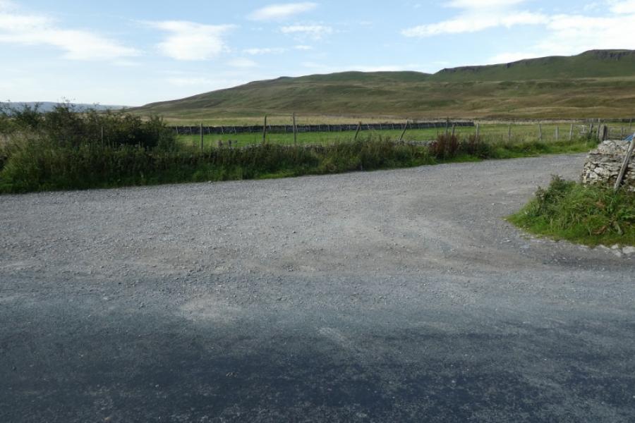
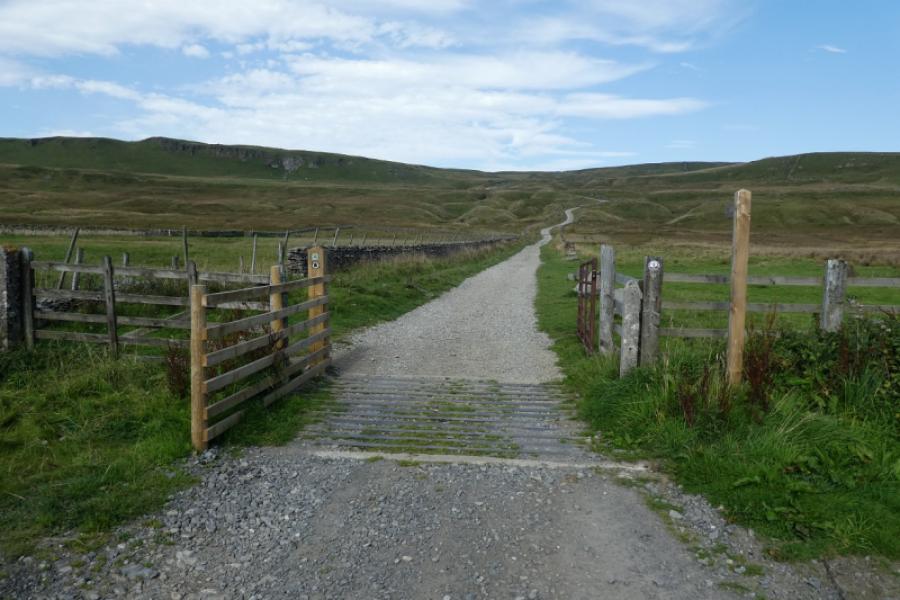
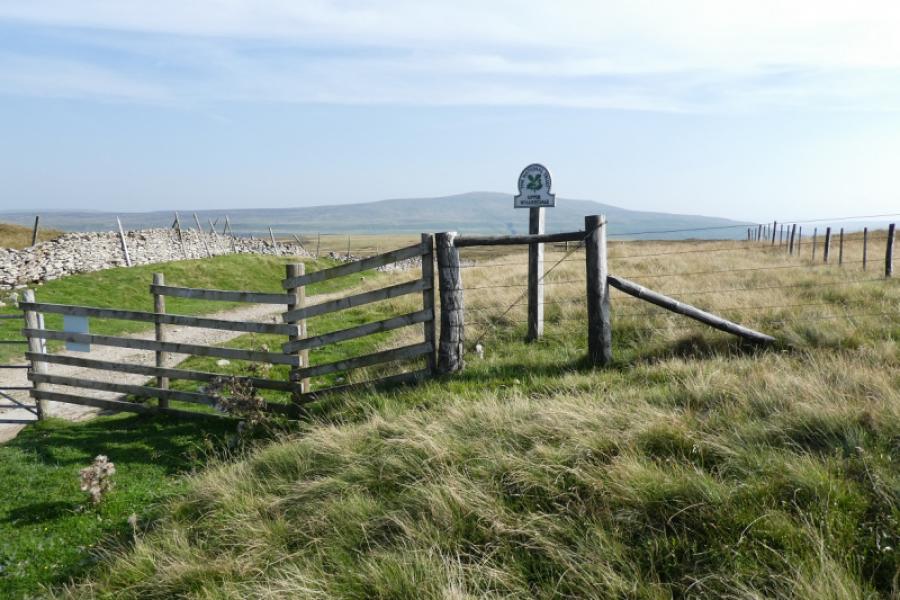
The start of the Stake Moss track which leaves the B6160 minor road from Buckden, in Wharfedale, to West Burton about 2.5 miles north of Buckden or about 6 miles south of West Burton, near Aysgarth in Wensleydale. This is a high road, over 400 m, and the track starts near its highest point. There is a massive entrance to the track which cannot be missed as well as an obvious wood just to the north. The entrance to the track is so wide that there should be plenty of parking. The actual start of the gravel track even has a sign, by the gate, for Stalling Busk. Note that the B6160 may be impassable in winter conditions.
Distance/Time
12 km. About 4 - 5 hours.
Peaks
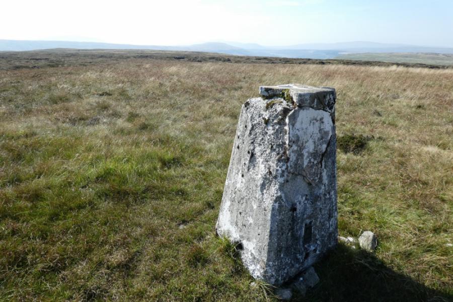
Yockenthwaite Moor, 643 m, SD 909 811. OL30 Yorkshire Dales: Northern & Central Areas
Introduction
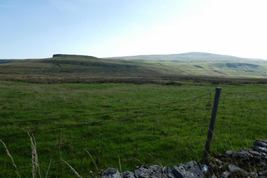
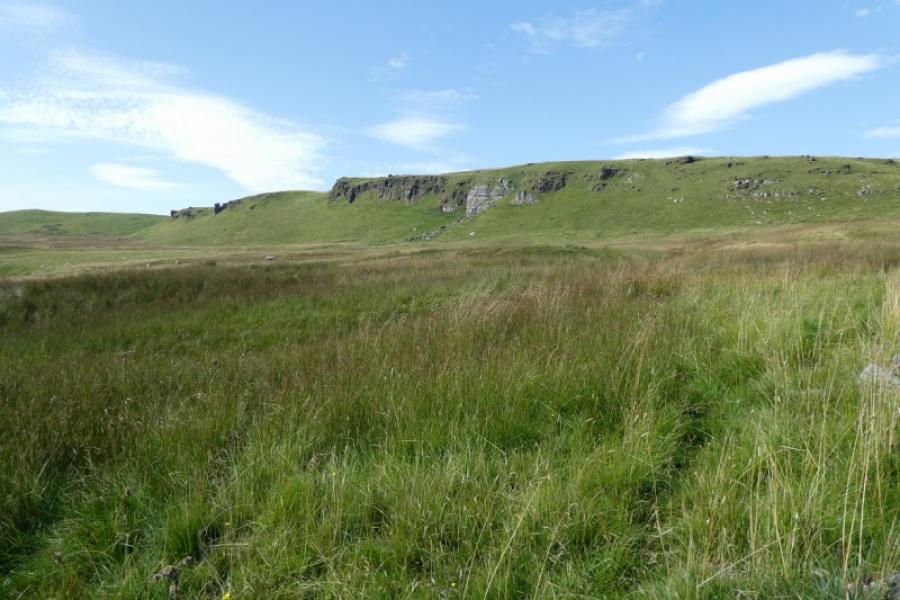
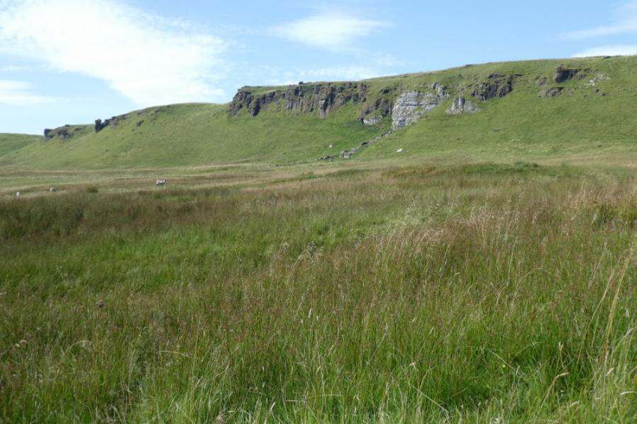
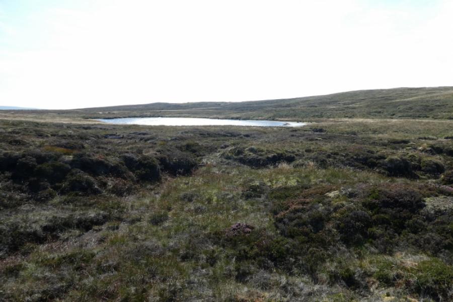
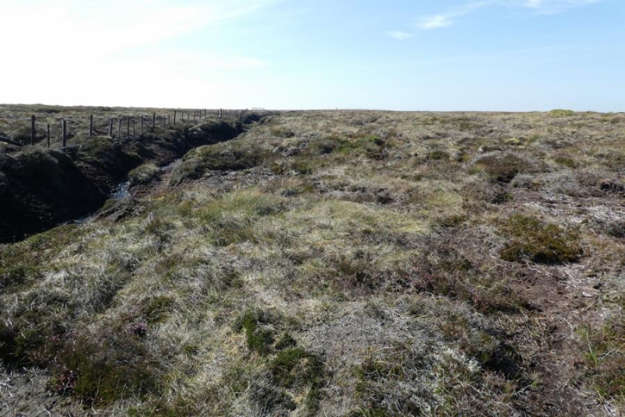
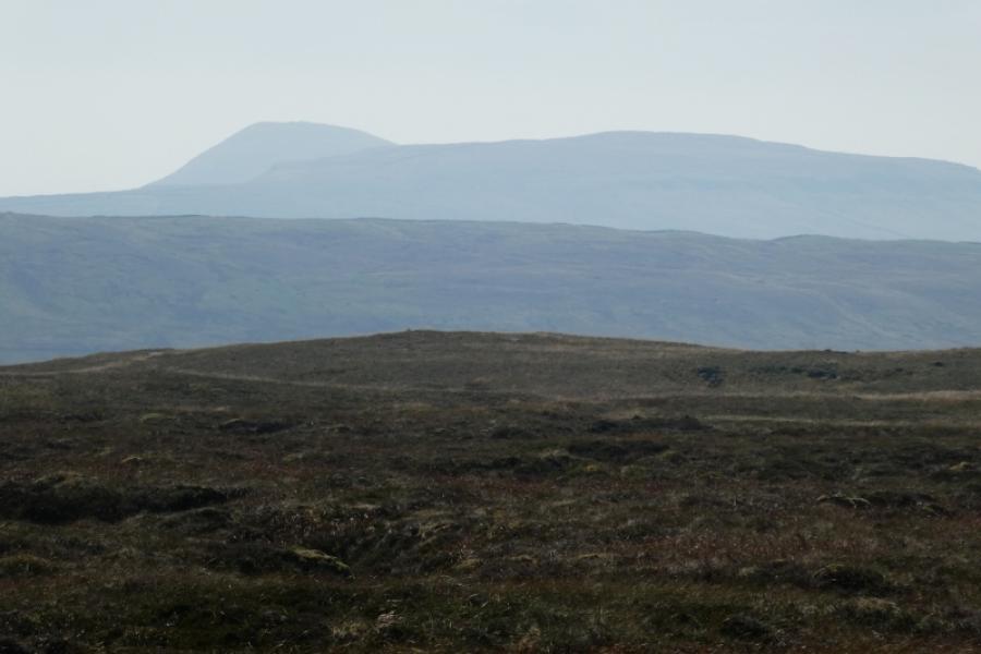
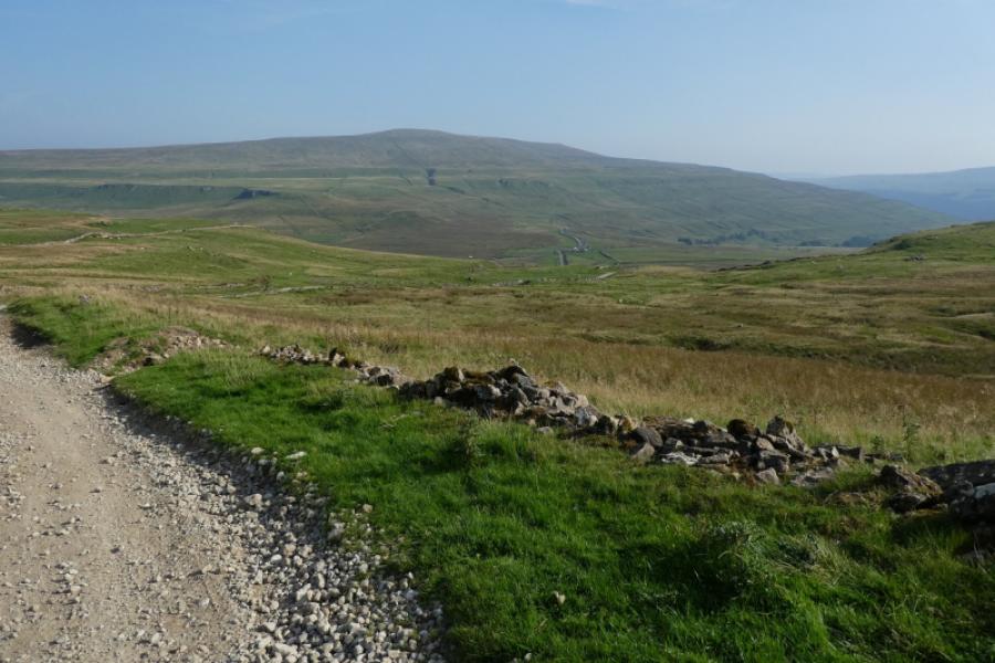
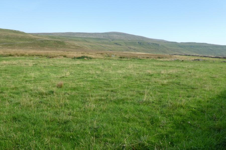
If you read about Yockenthwaite Moor online, most will say how unpleasant it is because it can be so very wet and boggy. It is best visited towards the end of a long hot and dry spell, eg September, when it has largely dried out or in deep winter when it is frozen. Even when largely fried out, there are still boggy sections and one can easily see how bad it can get in a wet spell. The Stake Moss track gives good access but then there is about 3 km of walking across the rough and boggy moorland. There is a faint path much of the way but frequent detours will be needed to avoid the boggy ground. Navigation is relatively straight forward as a fence can be followed from the track to the trig point. This may be the slowest 3 km that you ever walk! Yockenthwaite Moor is actually a subsidiary top of Dodd Fell Hill whose summit is about 7 km WNW of the trig point. It is very featureless terrain especially around the summit. In clear weather, there are reasonable views with Buckden Pike being most prominent. Note that neither Cray Tarn nor Hunters Hole Tarn were seen from the route.
Route
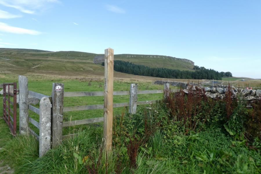
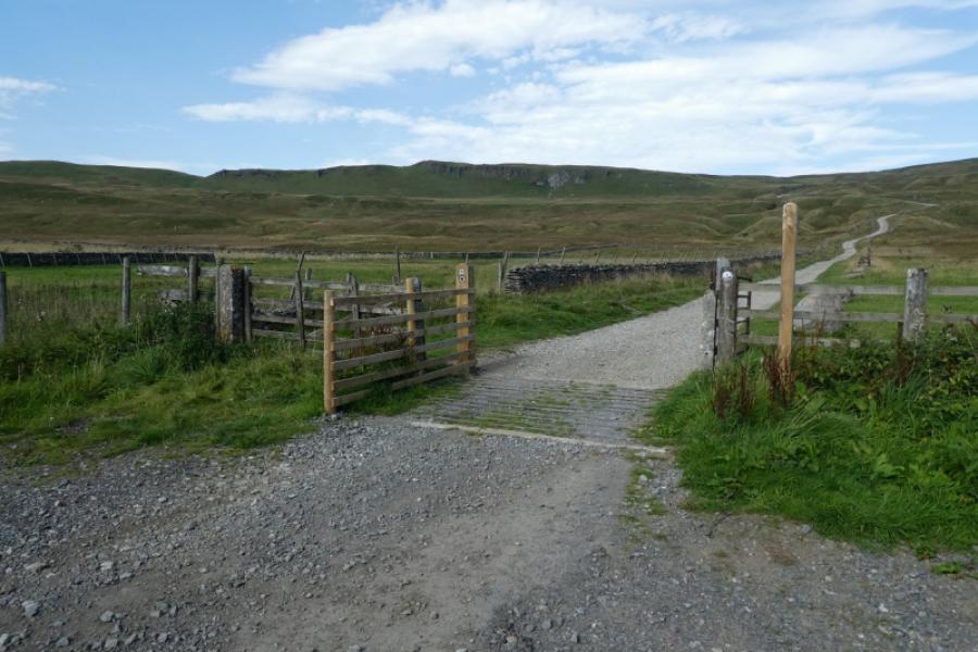
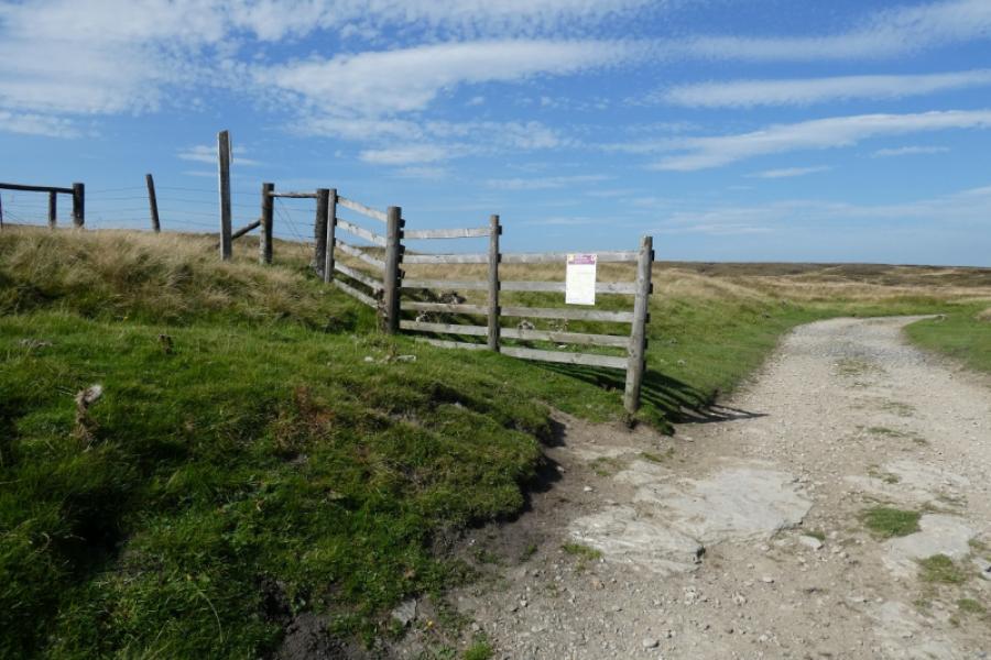
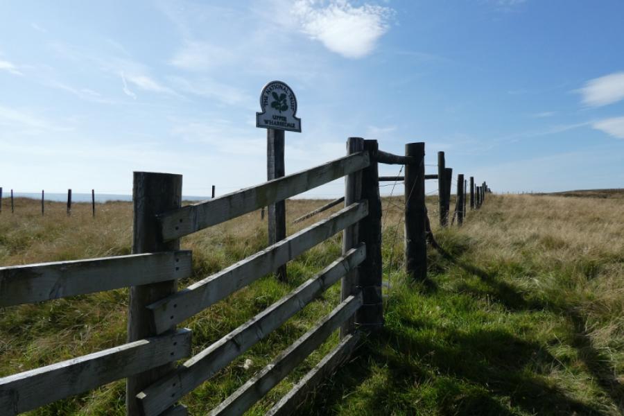
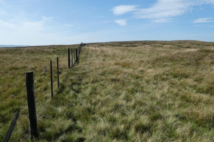
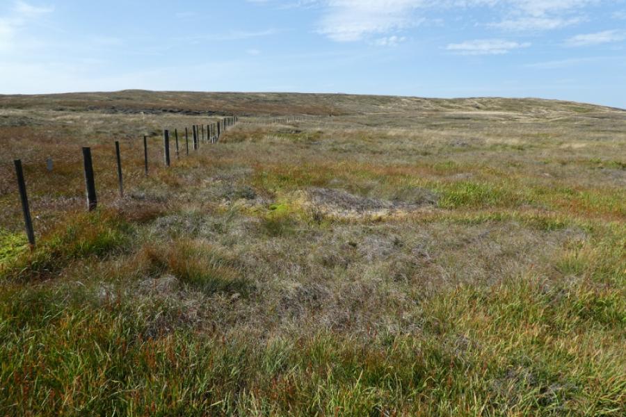
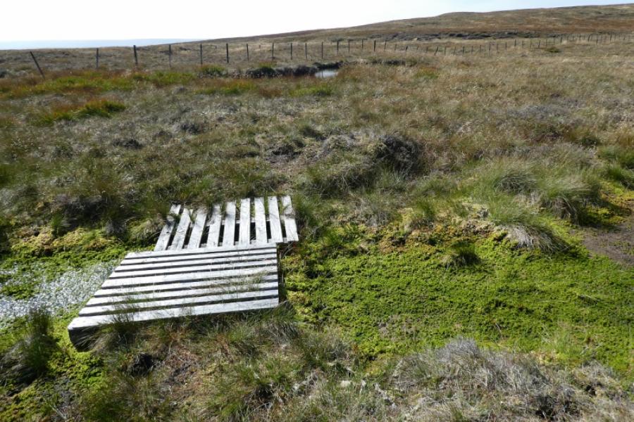
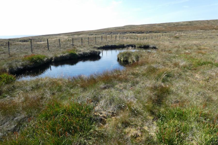
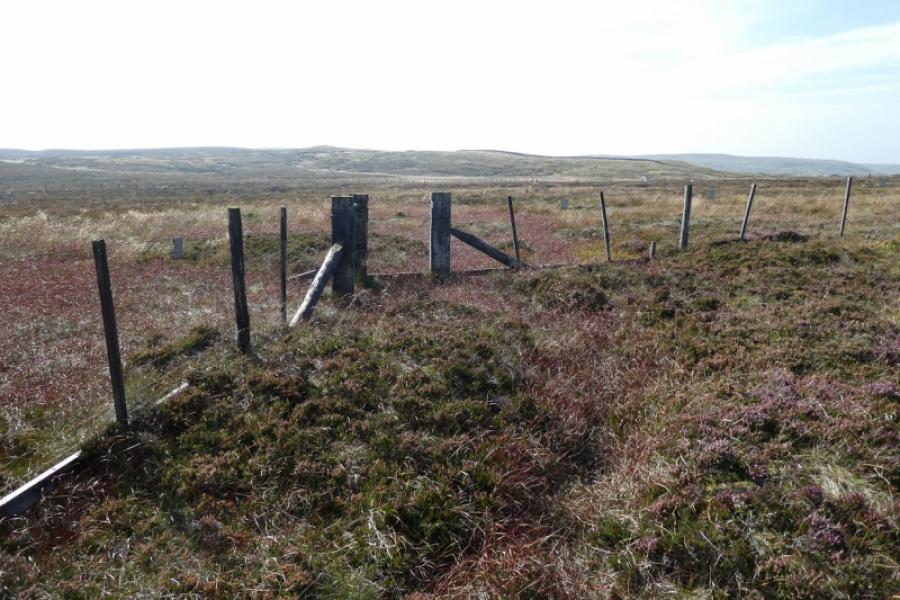
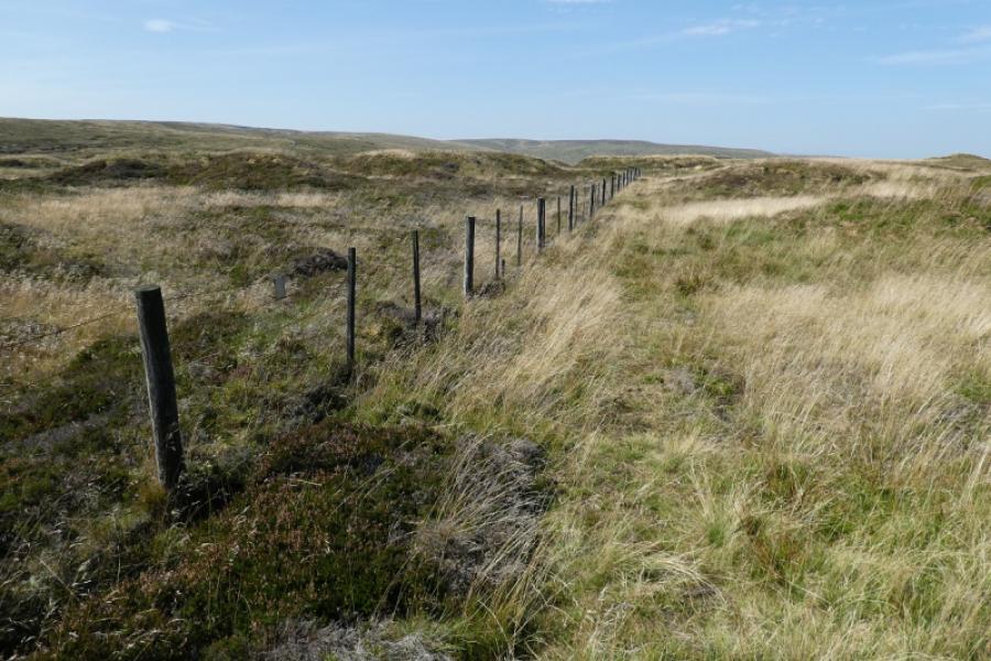
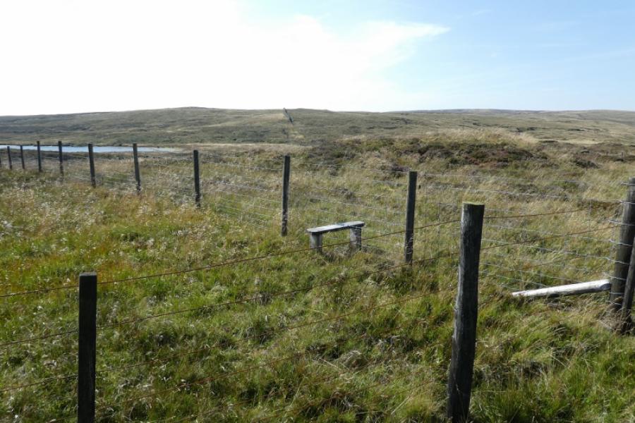
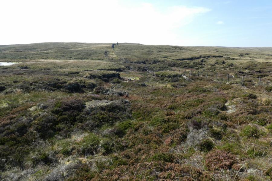
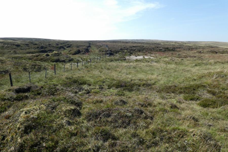
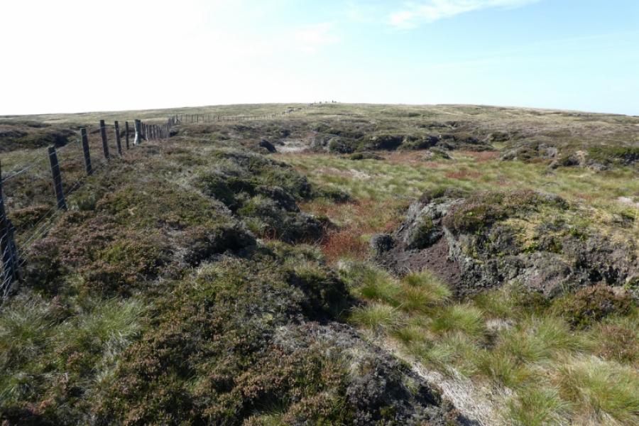
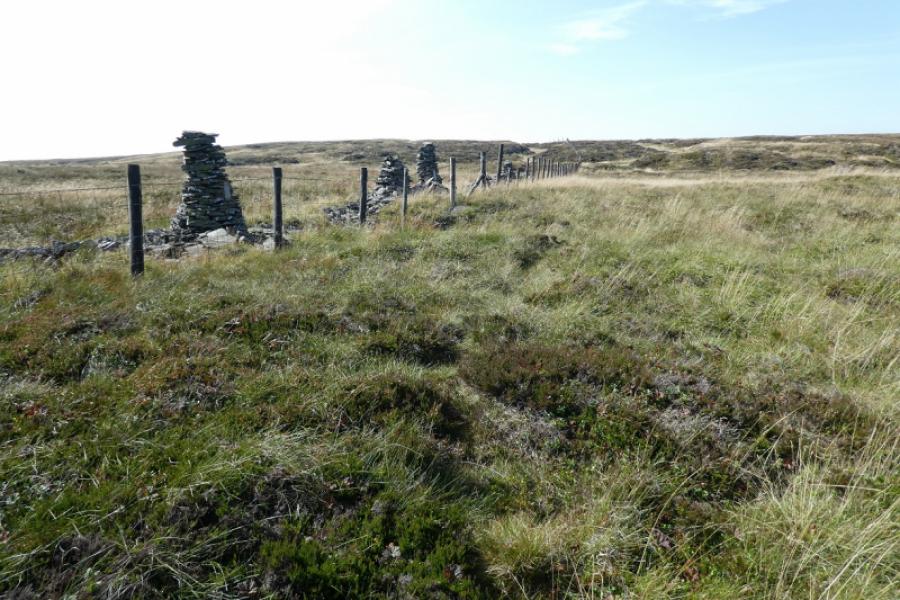
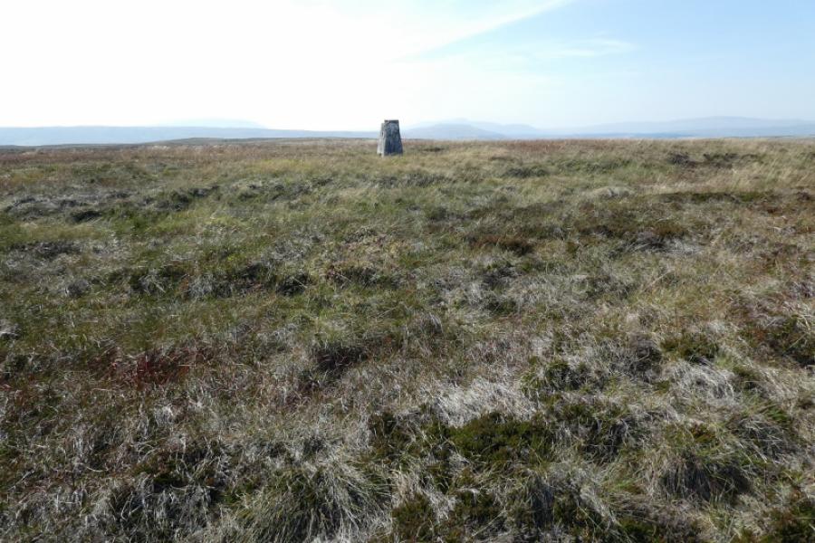
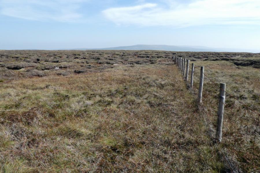
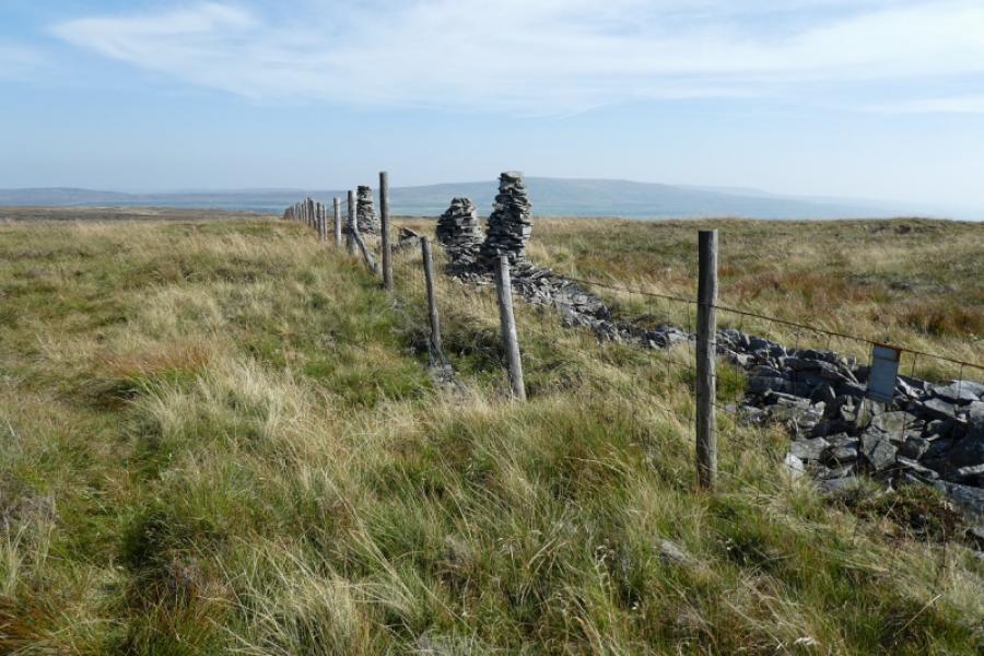
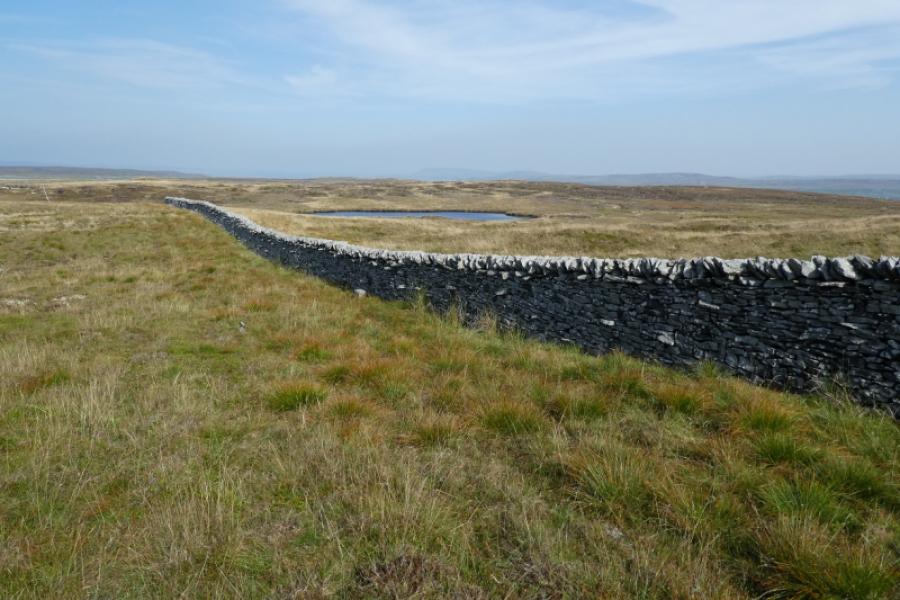
(1) Walk up the track for about 2 km until the track levels off and a gate is reached. There is a National Trust sign for those coming the opposite way telling them that they are now entering Upper Wharfedale which you have obviously just left! An old fence goes off left with a faint path on its right, N, side. Follow this path. It crosses a very boggy and mossy spot where two old pallets have been used to create a “bridge” (8/9/21). Just after this is a small pool. Continue following the path by the fence with occasional detours to avoid wet and boggy ground. Reach a fence corner where the fence goes right. Follow the fence to the right; the path disappears but soon reappears. Pass a stile on the other side of the fence and climb over to access the area the stile was taking you to. If it is clear, you should be able to see South Grain Tarn to the left. You are aiming for the fence to your right which becomes a wall after a hollow. You may have to detour considerably to cross the hollow. Cross the fence immediately before it becomes a stone wall and continue to follow it across the largely featureless moorland. Eventually pass some tall cairns made from the remnants of a broken wall. Keep going until the trig point comes into view. It is across the fence and there is no stile but, for most, it will be an easy fence to cross. Reach the crumbling trig point which is the summit of Yockenthwaite Moor, 643 m. It is a bleak spot with just the trig point and no cairn in sight as there are no rocks anywhere near. It is possible that the trig point may not be the actual highest point but if it isn't then it must be within 20 m and only inches higher. You may struggle to see any sign of civilisation from here.
(2) Retrace the outward route taking care in the South Grain Tarn area that you follow the correct fence back to the Stake Moss track. Some people like to tie a ribbon, or similar, to mark a fence to follow.
Notes
(a) This walk took place on 8th September, 2021.
Photos - Hover over photo for caption. Click on to enlarge. Click on again to reduce.