Get Lost Mountaineering
You are here: England » Yorkshire Dales » Western Area
Calf Top, Eskholme Pike & Castle Knott from Barbon
Calf Top, Eskholme Pike & Castle Knott from Barbon
Start/Finish
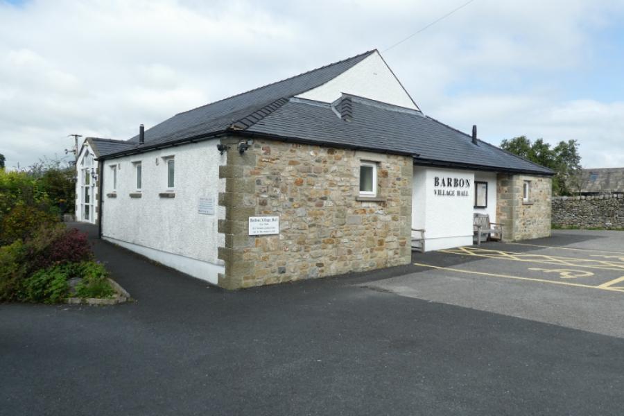
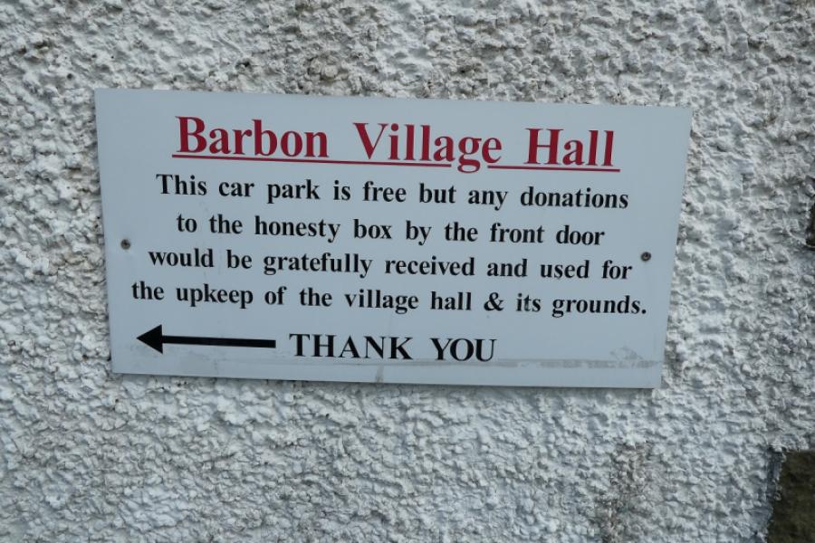
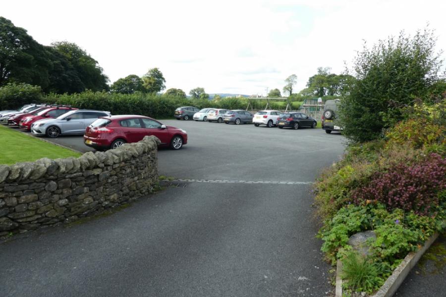
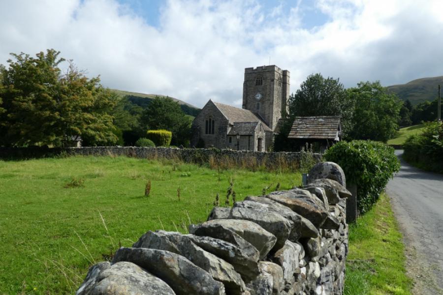
Barbon village hall where there is a sizeable car park with an honesty box for donations. Parking elsewhere in the village is possible but not recommended as the roads are quite narrow. Barbon is situated just to the east of the A683 road from Kirkby Lonsdale to Sedbergh. The roads into Barbon are all very narrow with few passing places so it is best to stay on the main road for as long as possible whatever your satnav tells you! Barbon, itself, is a lovely little village. It has a Lakeland feel to it but without the crowds. It has a a pub, Barbon Inn, and a village store/cafe/delicatessen called the Church Mouse which seems very popular.
Distance/Time
13 km About 5 hours
Peaks
Eskholme Pike, c 300 m, SD 640 833.
Castle Knott, 538 m, SD 657 842.
Calf Top, 610 m, SD 664 856.
OL2 Yorkshire Dales: Western Area (double sided version)
This route is very awkward if OS 1:50 000 maps are used as Calf Top is right on the edge of the maps( 97, Kendal, & 98, Wensleydale)
Introduction
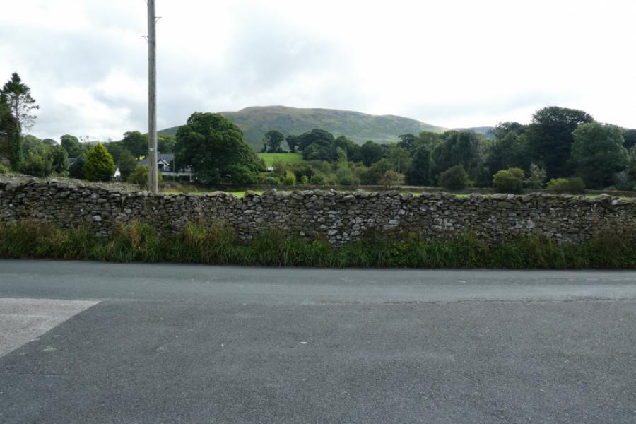
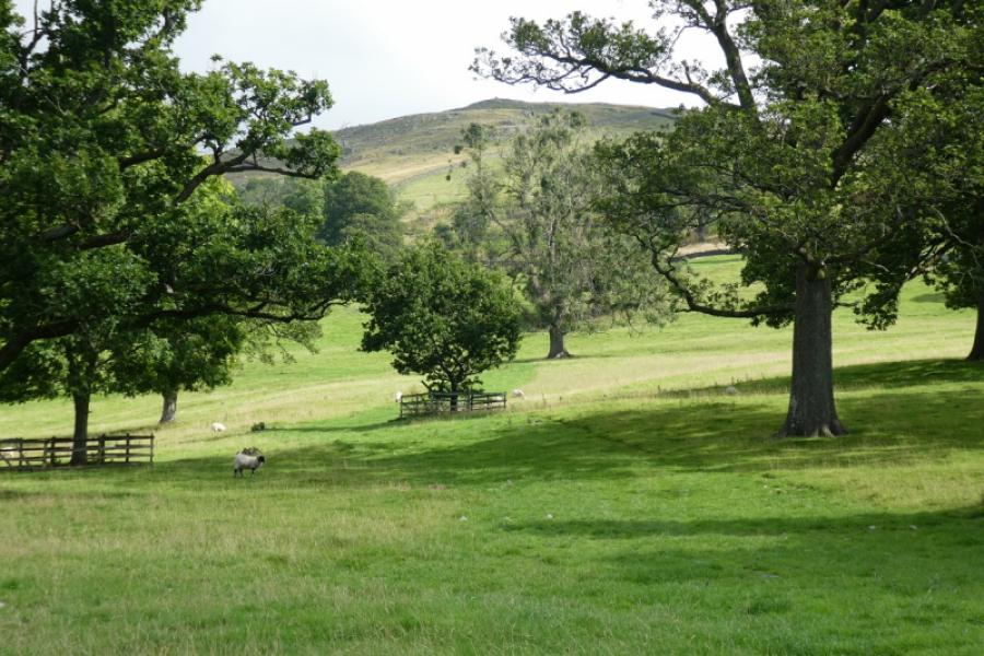
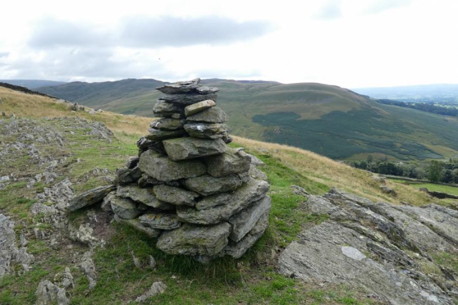
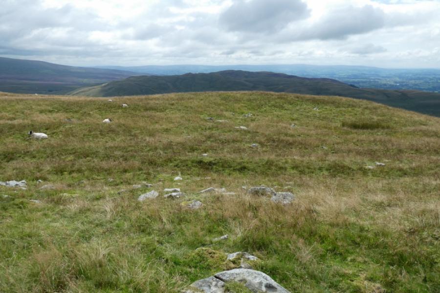
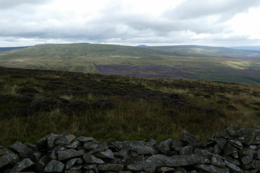
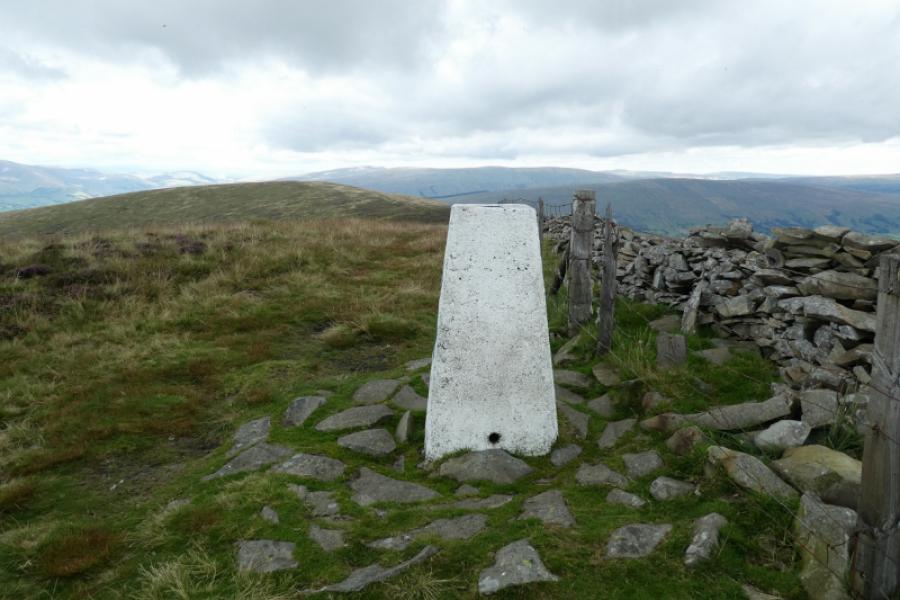
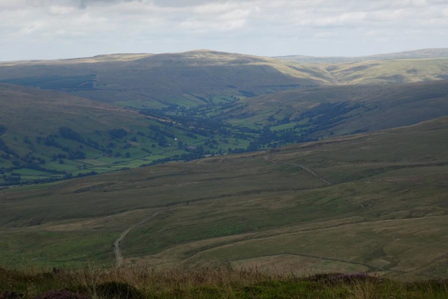
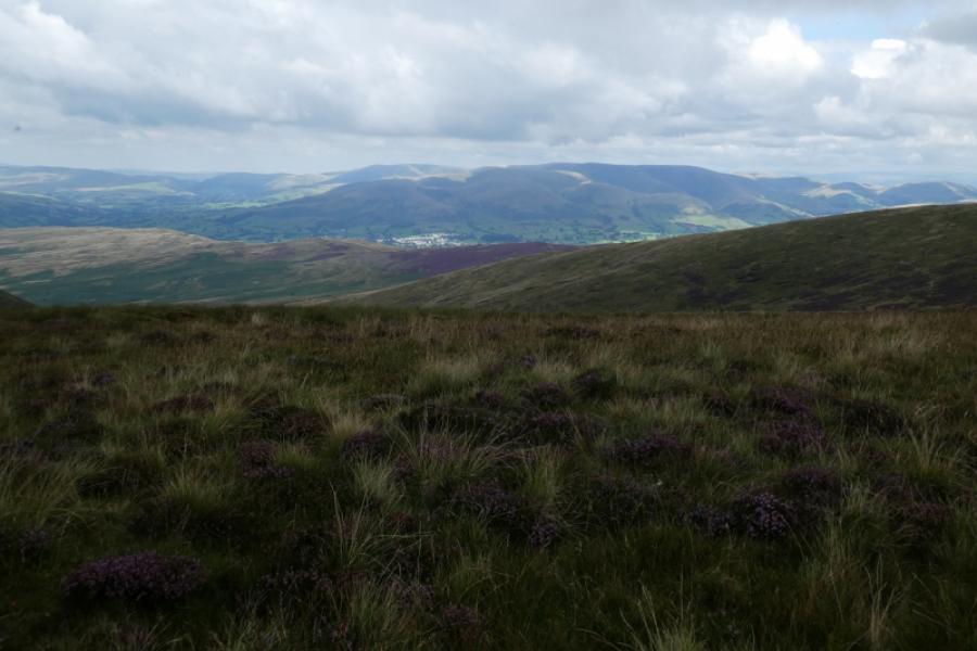
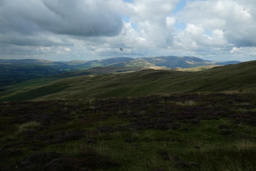
Calf Top was recently upgraded to “mountain status” after being resurveyed and its summit now just makes it, by inches, to 2000 feet. The route is pleasant in most places especially as one leaves Barbon to ascend Eskholme Pike. There is a significant gap between Castle Knott and Calf Top. The actual summit of Calf Top seems to be contentious. There is an obvious trig point but a few metres away to the east and over a fence and broken wall (no stile) is a tiny cairn, often hidden in the grass which some think is the true summit so best to visit both to be sure. The descent, west, from the summit is fairly straightforward with a grassy ATV track being followed most of the way down to Mill House where the landowner has posted a notice on a gate, next to a stile, which many will find offensive. It states that there is no right of way through what seem to be lucrative holiday homes. It does not point out the correct route but, very lazily, tells walkers to consult their map. In over 40 years of walking, I haven't seen anything this bad before. The map clearly shows a route which now seems to be blocked. I always ignore such notices and the described route shows this. There seems to be some doubt as to where the summit of Eskholme Pike is. I have taken it to be the cairn nearest to the name on the map but others may disagree. There are good views to Crag Hill, Ingleborough and Gregareth to the east and the Howgills to the north. Dentdale and Great Knoutberry Hill are well seen to the north east. The coast is visible to the west. In very clear weather, Lakeland fells will be seen. Calf Top, itself, is well hidden and not seen until some way into the route.
Route
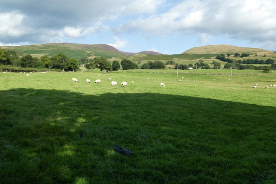
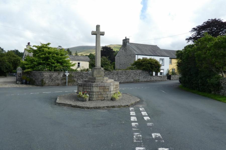
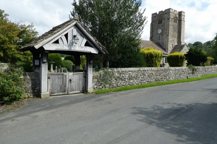
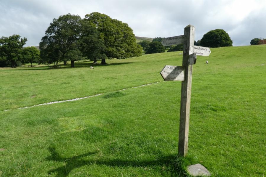
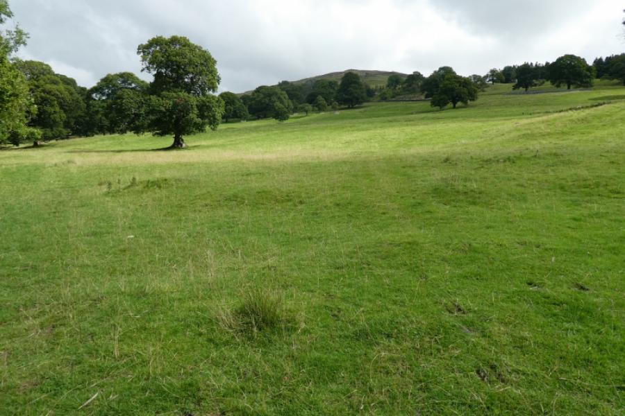
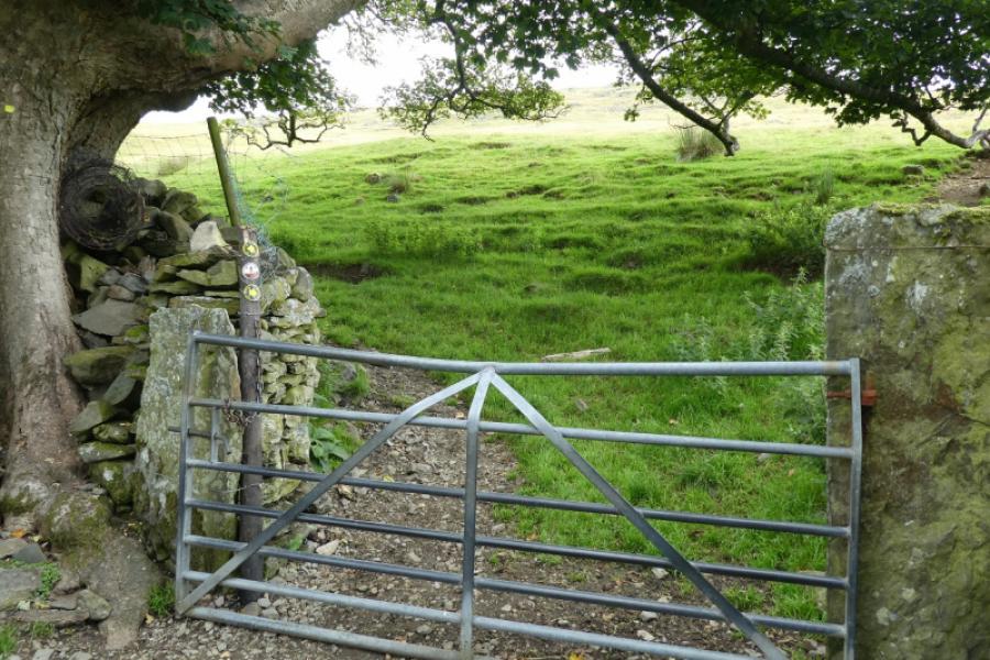
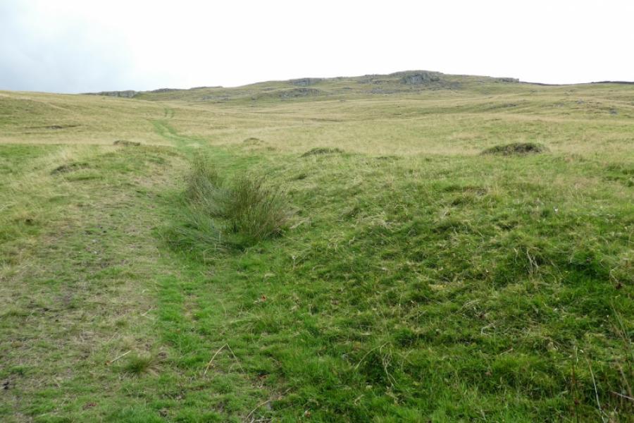
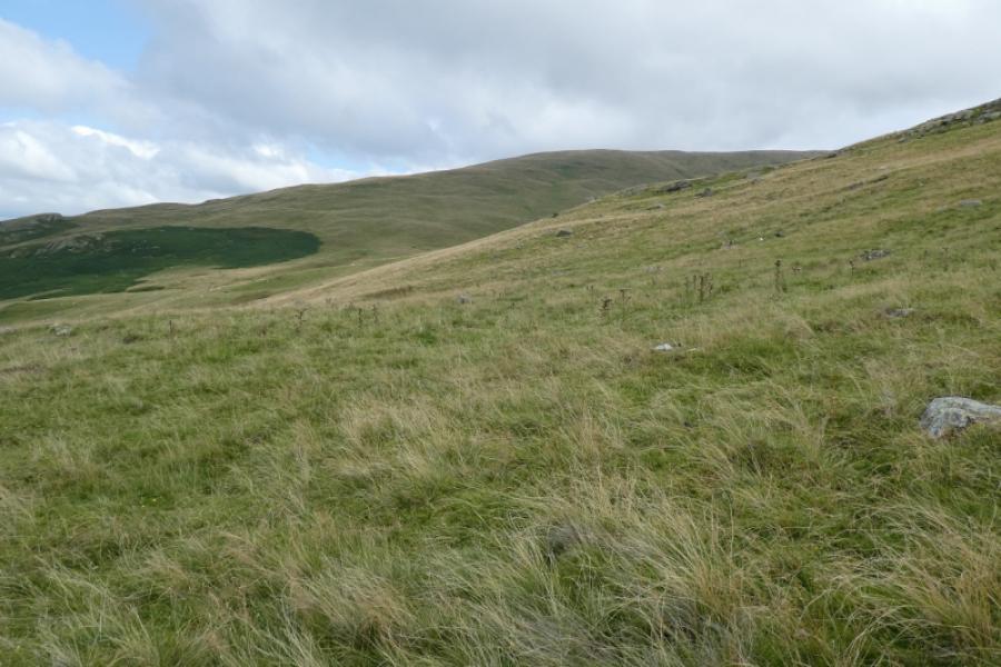
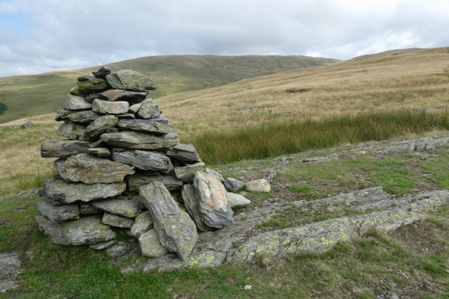
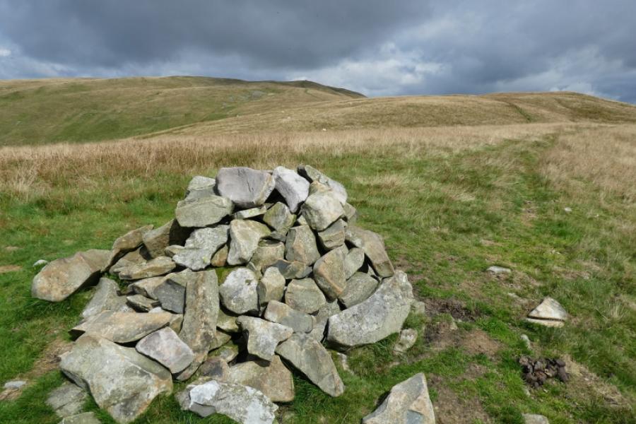
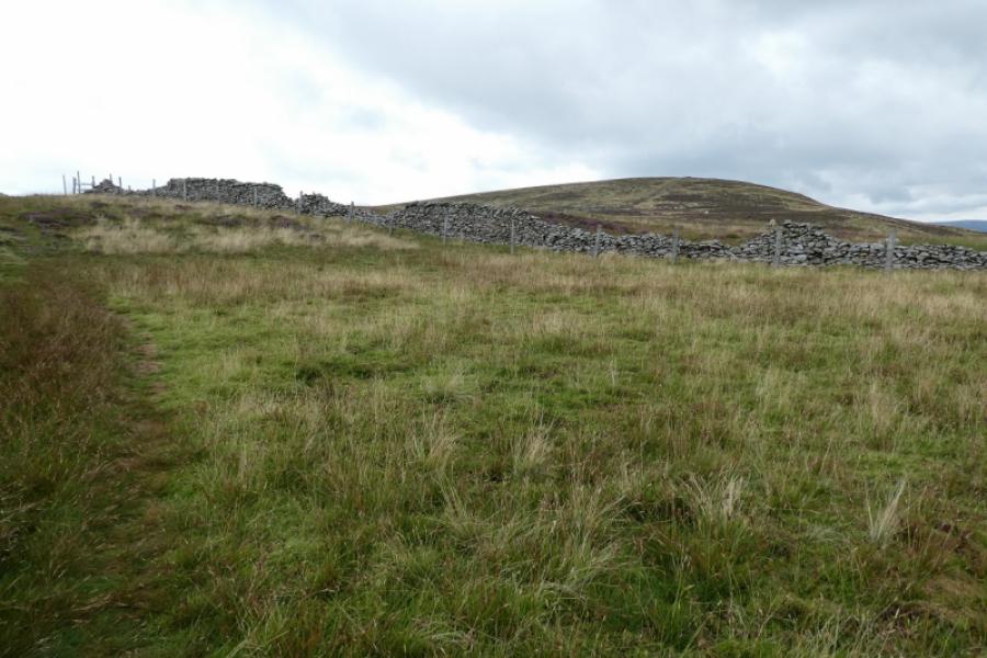
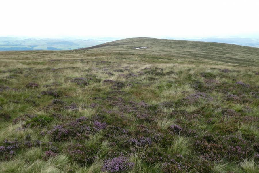
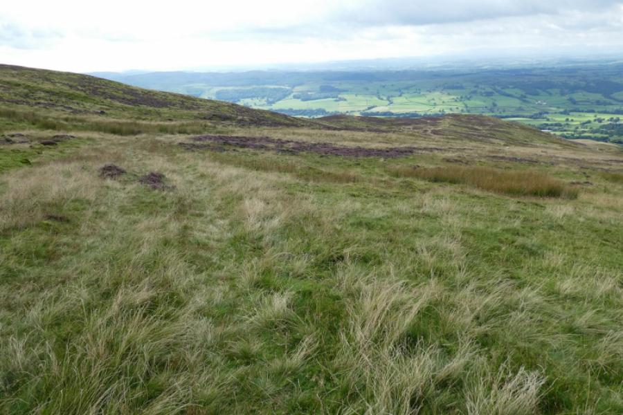
(1) From Barbon Village Hall, walk past the Church Mouse to the memorial cross at the junction. Turn right (Dent) to reach the church then turn left down the private road just after the church. Reach a signpost and head for Eskholme. Pass along the eastern side of Ellers Wood to reach an open field with the house at Eskholme clearly visible. Strictly speaking, the right of way goes to Eskholme then turns right, uphill to a gate in a stone wall but most seem to go diagonally up the field to the gate. From the gate, the right of way on the map goes straight up, in a straight line but there is path which drifts left to climb, moderately steeply, to some small crags before meandering around to reach the cairn, seen from below. This is Eskholme Pike, c 300 m. There are lovely views looking back.
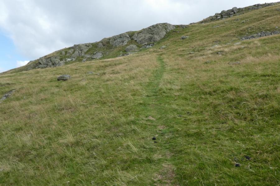
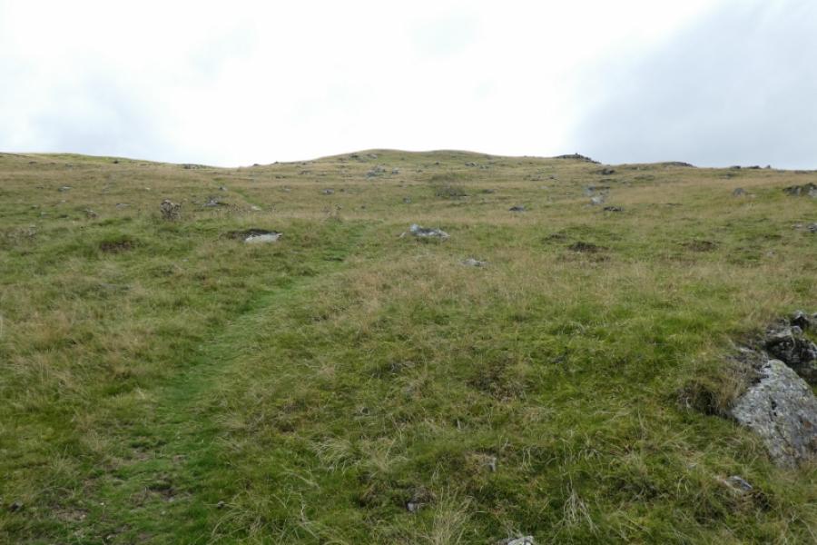
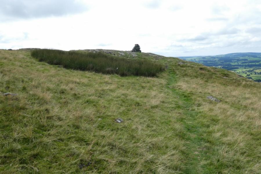
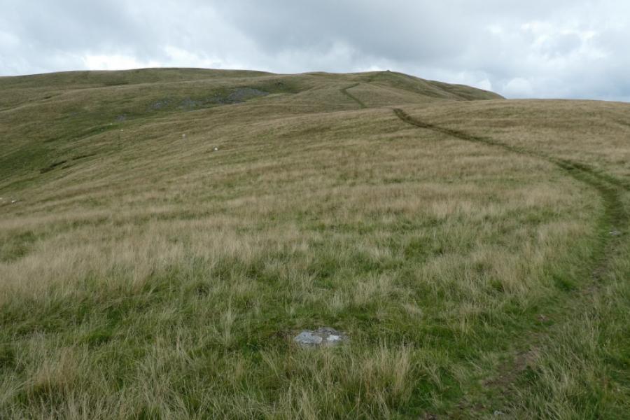
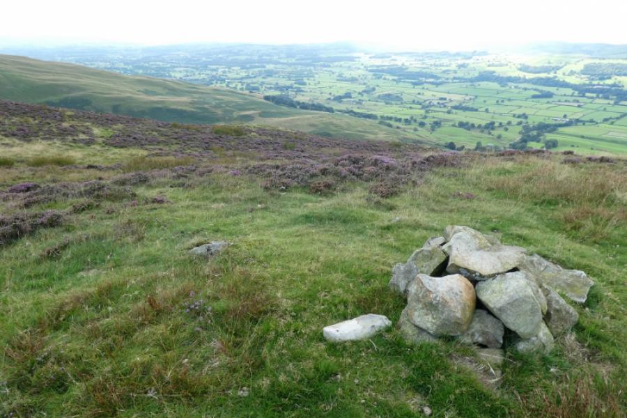
(2) Continue up, on the obvious path. The gradient is gentle then steepens to reach another cairn which may just mark a viewpoint as it isn't really on a top. Continue to reach another cairn on a top. This is Castle Knott, 538 m.
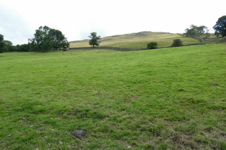
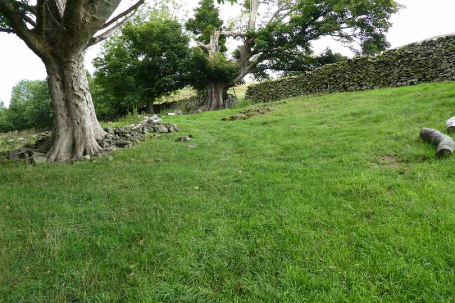
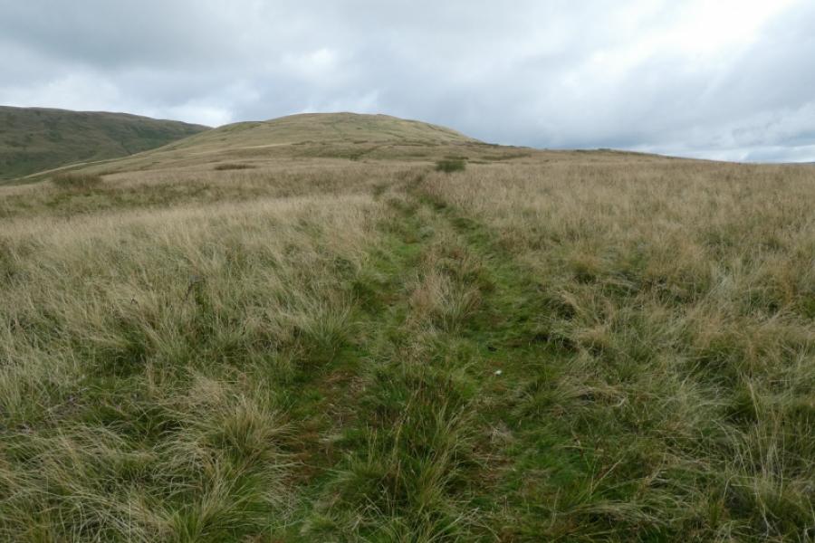
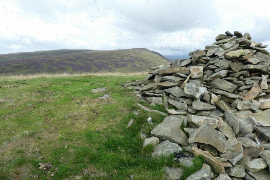
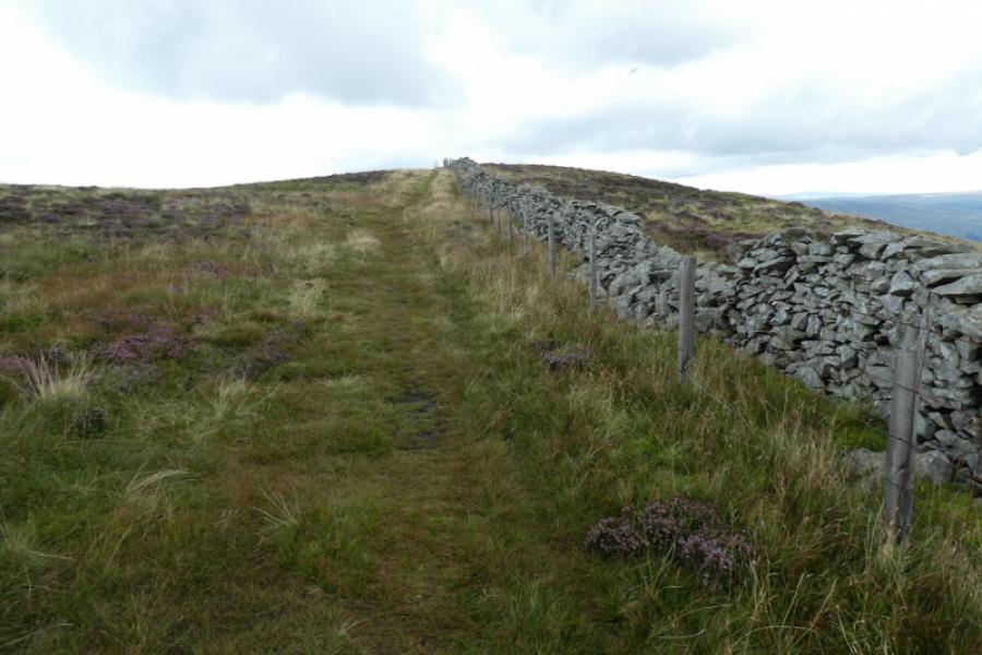
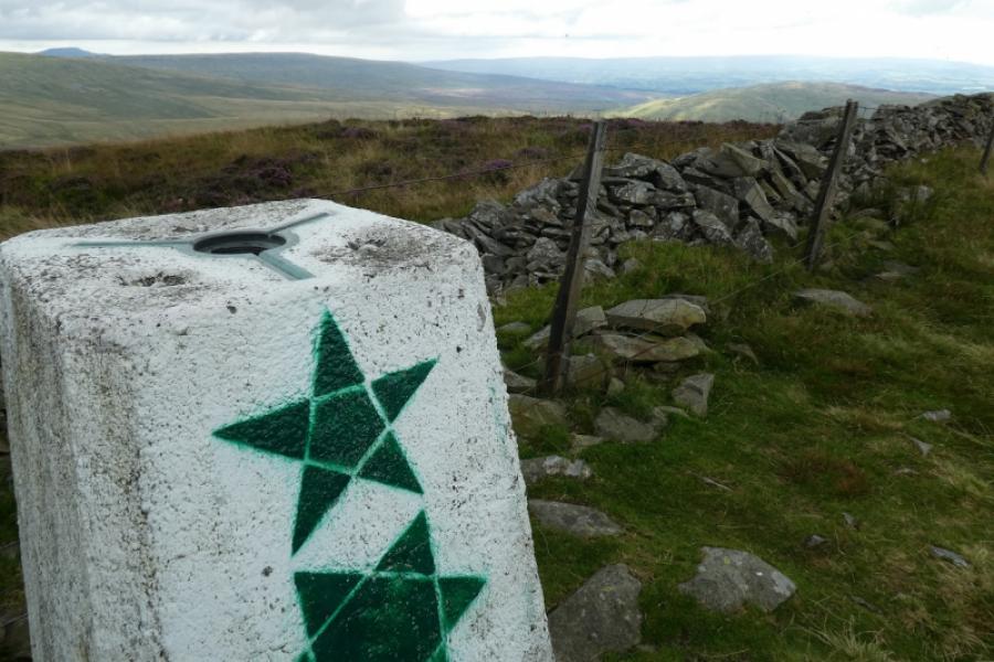
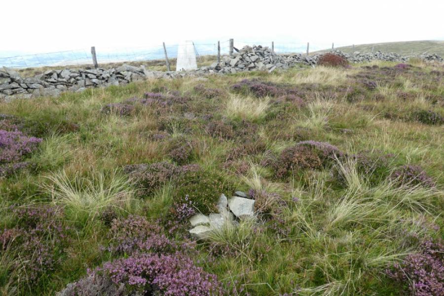
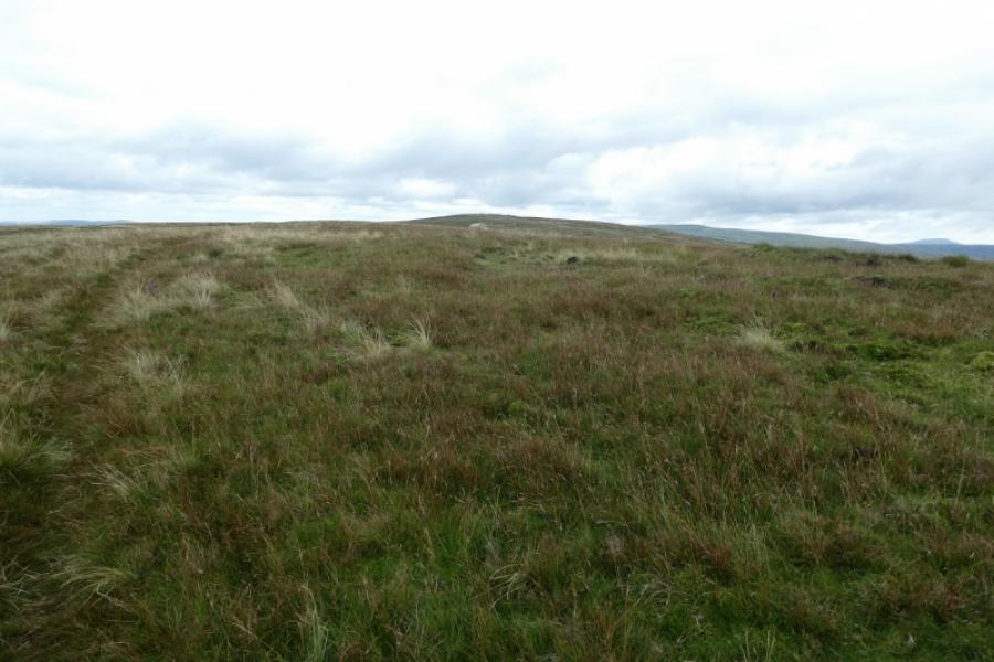
(3) Continue on the obvious path which descends about 60 m to a col which can be wet and where the grass becomes more heathery before a long ascent leads up to reach a wall and broken fence which can easily be followed to the trig point. As mentioned earlier, there is a tiny cairn across the wall. One of these, or both, is the summit of Calf Top, 610 m.
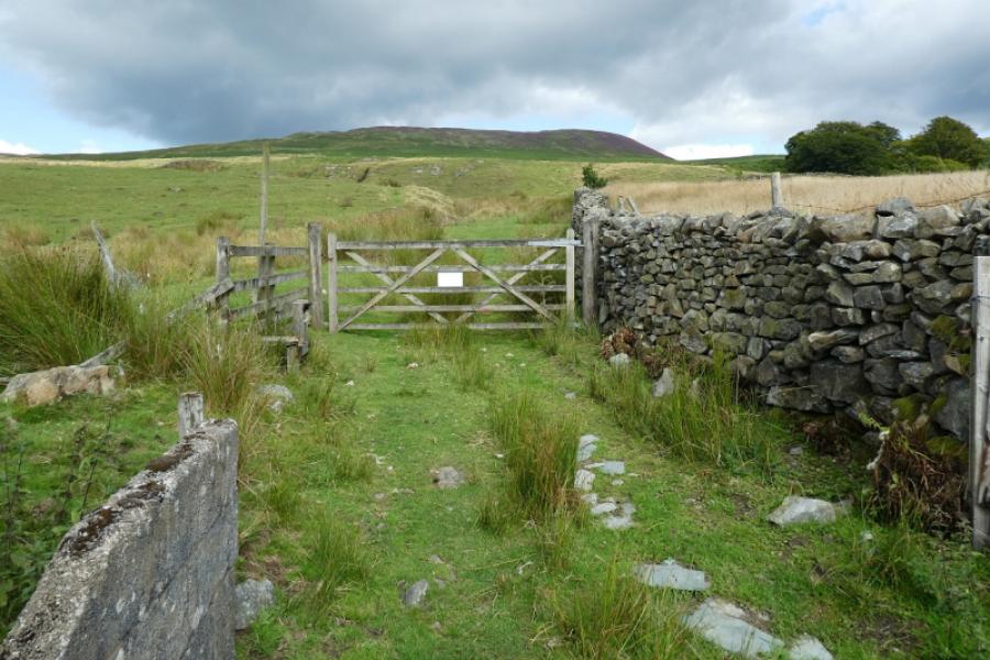
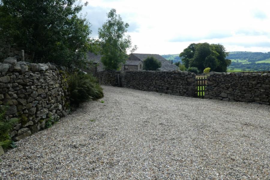
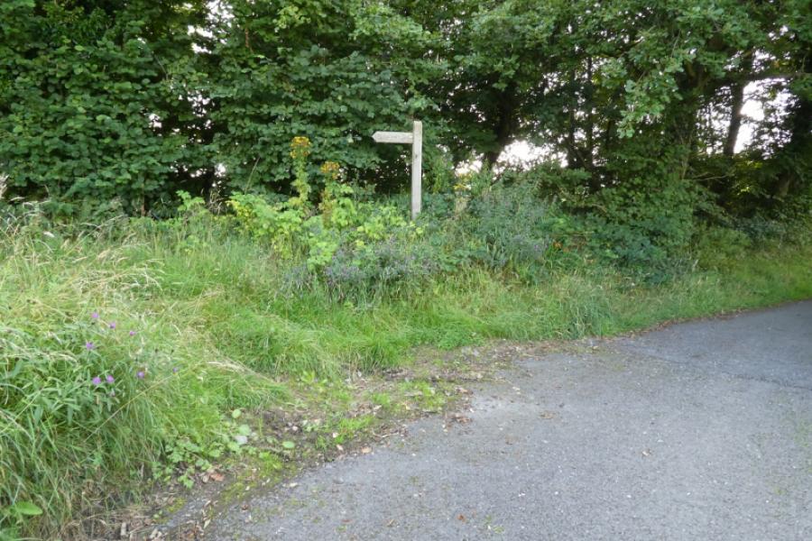
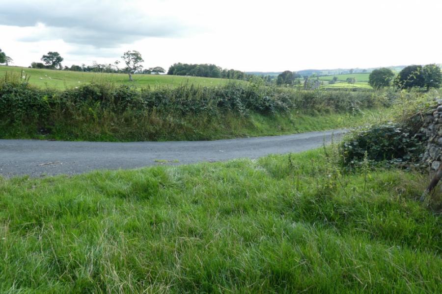
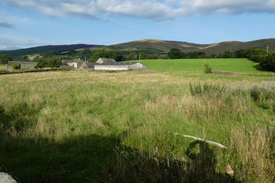
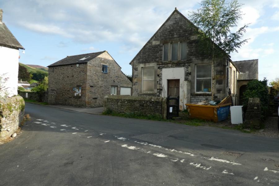
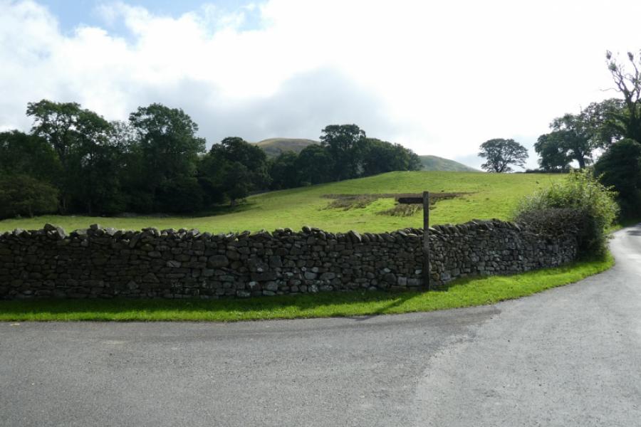
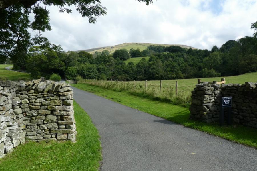
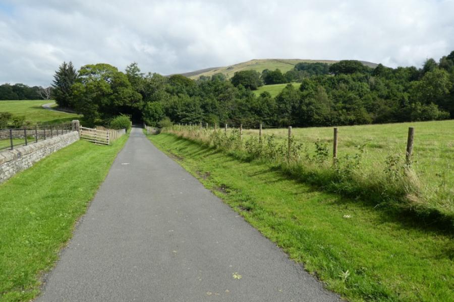
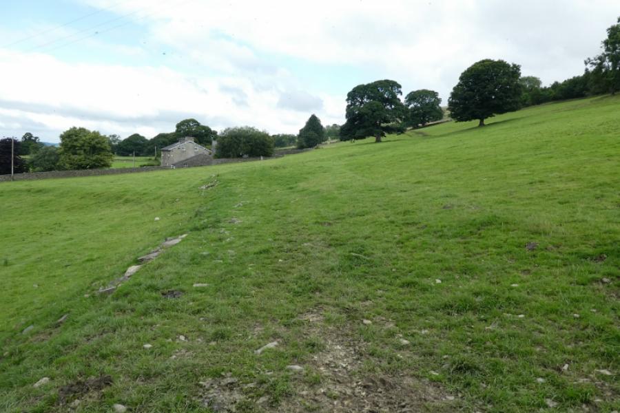
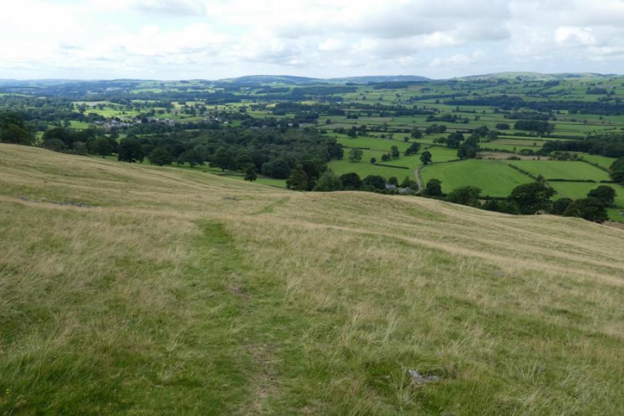
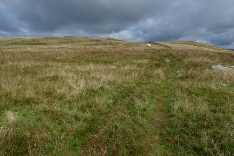
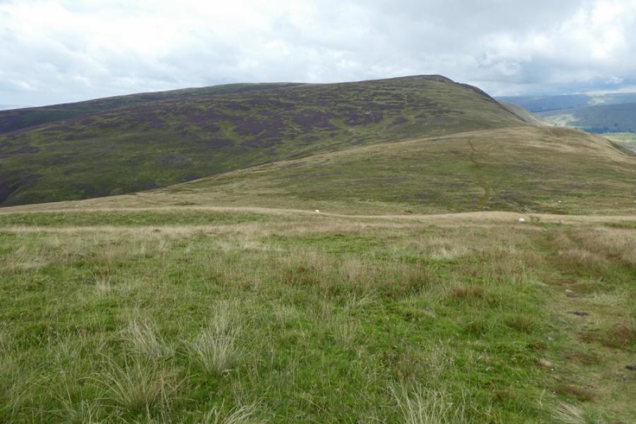
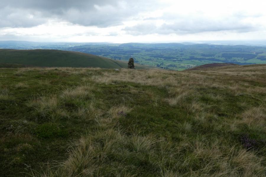
(4) Walk roughly west, at about right angles to the wall, over a grassy plateau where a couple of large pools may be passed. A garssy ATV track is soon obvious and can be followed down. It passes to the right of a tall cairn and, generally, becomes more distinctive as it descends. When it clearly goes right, a faint path goes straight on to rejoin the track lower down which then continues to Mill House, as mentioned above, and its offending notice. If you wish to ignore the notice, go through the two gates and follow the gravel drives past the holiday cottages to soon reach the end of a public road. Follow this down. Go “under” the demolished bridge of the old railway (really should be made into a footpath and cycleway) then turn left onto an overgrown bridleway. Soon reach another road. Turn right and follow this, almost due south after it bends, for 2.5 km to reach Barbon at the old Wesleyan Chapel. Turn left to reach the memorial cross. Turn right to reach the village hall. The route back along the road is set back further than any paths and gives better views of the hills just climbed. It is a narrow road and you are more likely to meet cyclists rather than cars. In Summer, you may pass a signed footpath, on the left, which is horrendously overgrown with nettles. Perhaps this is another sign of a few local landowners having little or no regard for walkers' rights.
Notes
(a) This walk took place on 24th August, 2021.
(b) There is a weekly bus service (Thursdays only at time of writing) between Sedbergh and Kirkby Lonsdale which passes through Barbon. This may allow a full traverse of the hill without the need to walk back to the start. Two cars would also allow this. The area north of Calf Top summit has not yet been checked but paths are shown on the map.
(c) Those who wish to obey the offending notice at Mill House can cross the stream above it where a gate can be seen into a field then pick a way to join up with the right of way shown on the map which leads to Low Felside then Sowermire Wood, Sowermire Farm and Borwens before joining the road, described above, back to Barbon. None of this has been checked out.
Photos - Hover over photo for caption. Click on to enlarge. Click on again to reduce.

.JPG)