Get Lost Mountaineering
You are here: England » Yorkshire Dales » Central & Northern Areas
Rogan's Seat from Muker via Swinner Gill
Rogan's Seat from Muker via Swinner Gill
Start/Finish
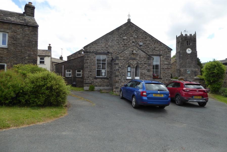
Muker village at the far end of Swaledale. This can be reached either by driving up Swaledale from the east, passing through Reeth and Gunnerside, or by driving from Kirkby Stephen via Nateby, Keld and Thwaite. Muker has a pay and display car park but it fills up very quickly and parking elsewhere is quite limited so arrive early on busy days. There are pay toilets in the village opposite the Farmers Arms, about 200 m from the car park.
Distance/Time
16 km. About 5 – 6 hours.
Peaks
Rogan's Seat, 672 m, NY 920 031. OL30 Yorkshire Dales: Northern & Central Areas
Introduction
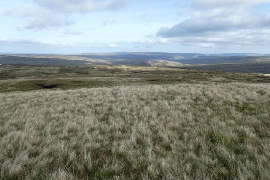
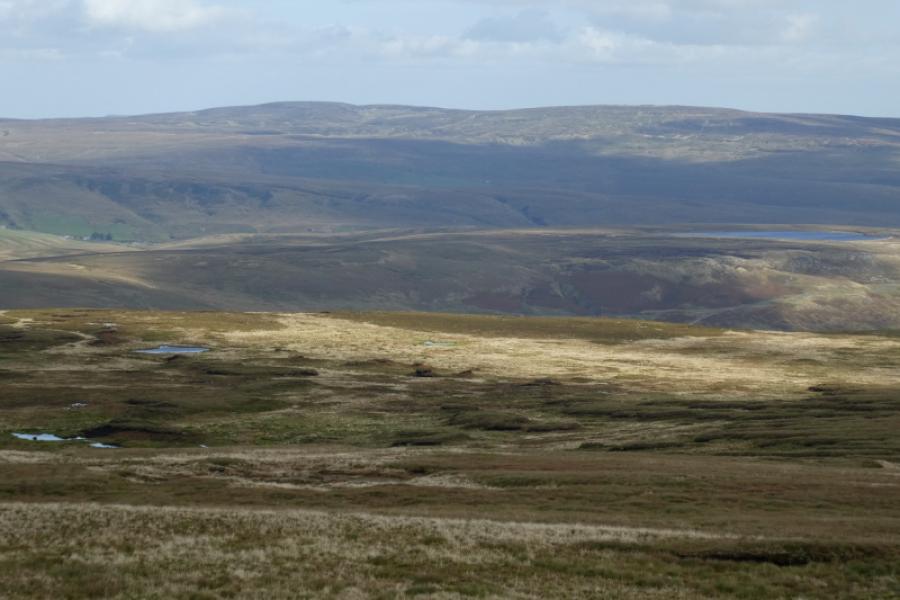
The summit of Rogan's Seat is, arguably, the least interesting in the Yorkshire Dales as it is a small cairn on a peat hag on a very featureless plateau. The route to within 200 m of the cairn is very straightforward and uses landrover tracks and good paths including part of the Coast to Coast route. However, in poor visibility, it may not be possible to spot the cairn from the landrover track and the final path to it is quite faint so you may want to take a GPS for the final 200 m. The terrain is quite rough so using the landrover tracks may add some distance but saves a lot of time. Some mountain bikers may be able to cycle all the way (probably from Gunnerside or Ivelet) apart from this last 200 m. There are reasonable views from the summit with Great Shunner Fell and Lovely Seat being most prominent. The highlight of the route is in Swinner Gill and it is worth going as far up the gill as you can even if you have to double back. If it is very dry and you are a good scrambler, you might be able to make it the whole way up the gill to where it splits below the ruins. There is pleasant walking alongside the River Swale from Muker. It is quite easy to become disorientated when leaving Muker village to so careful to begin with.
Route
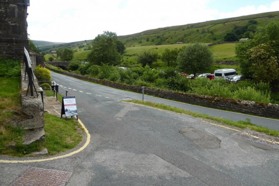
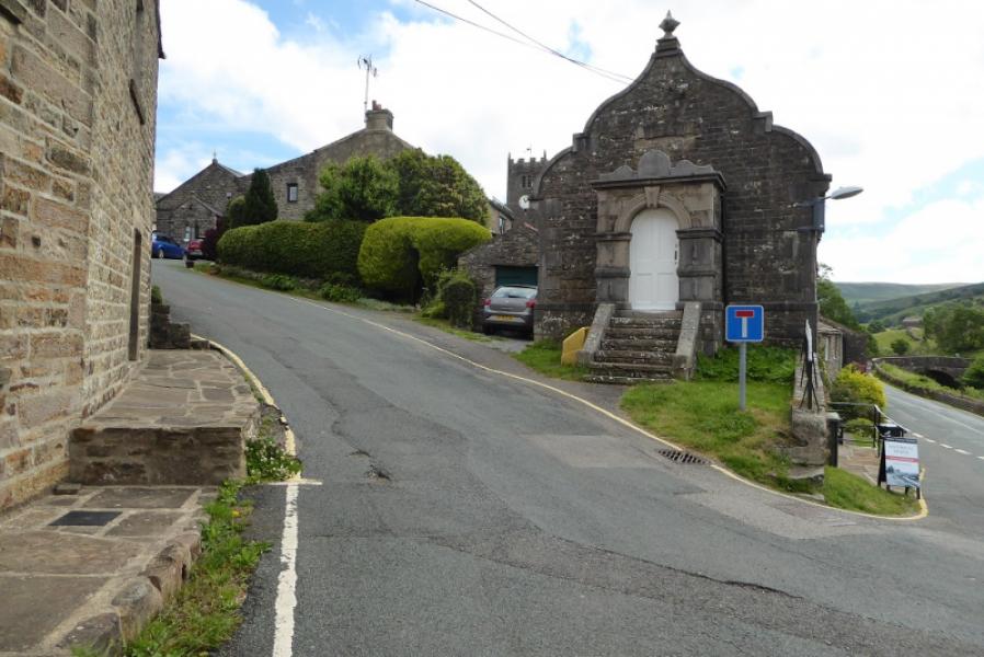
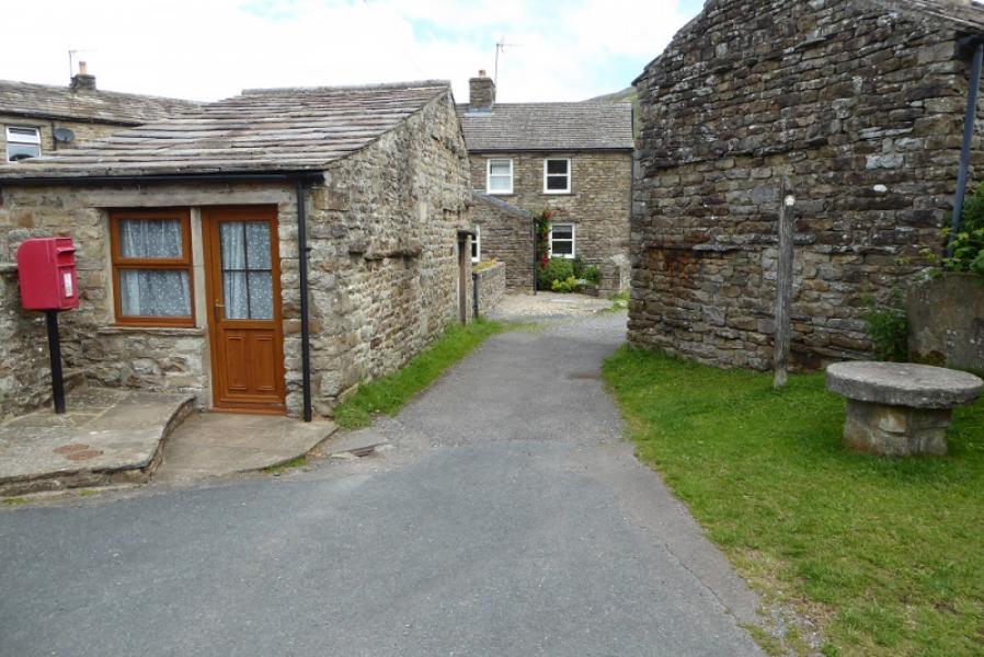
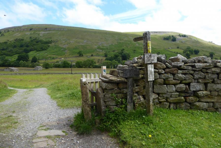
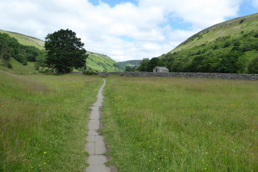
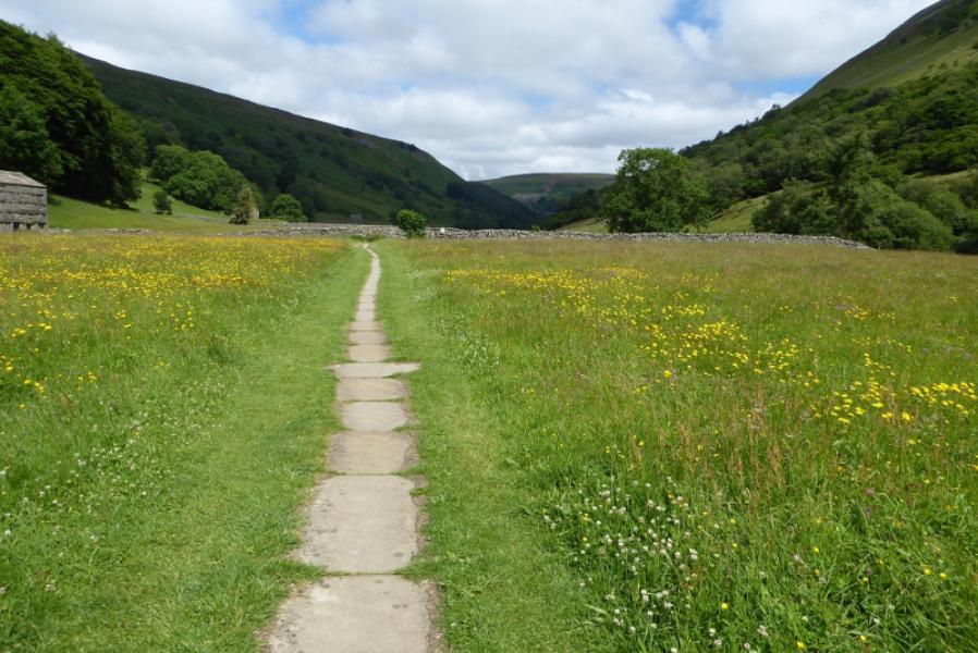
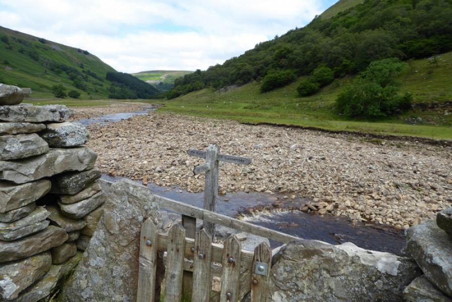
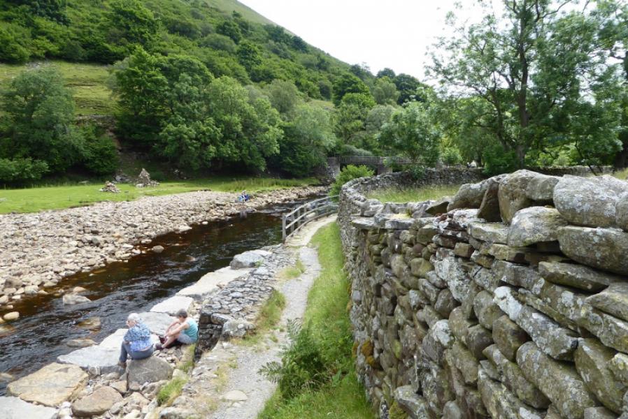
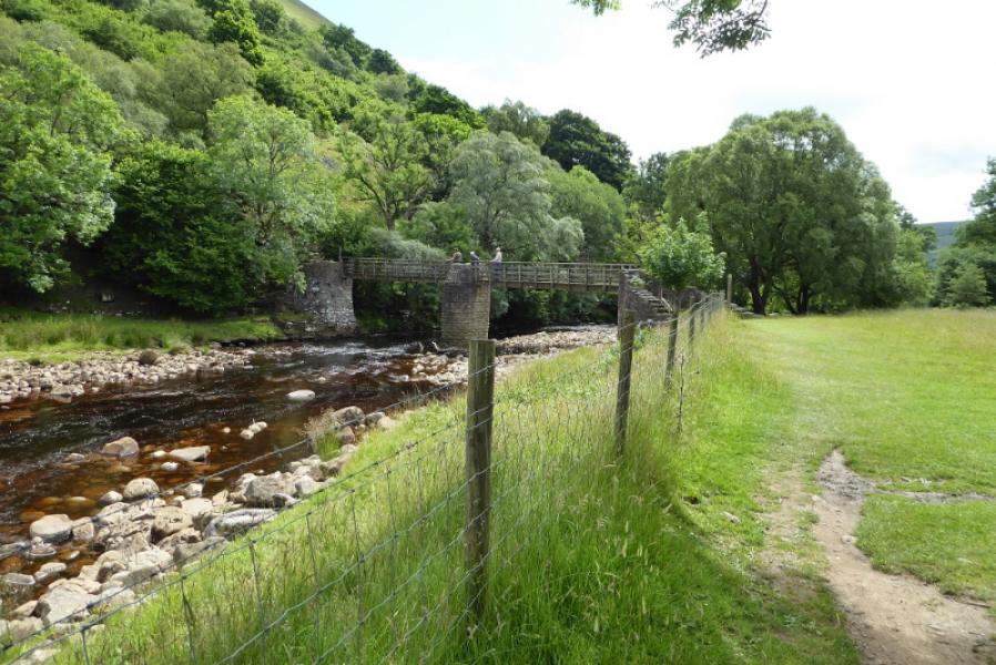
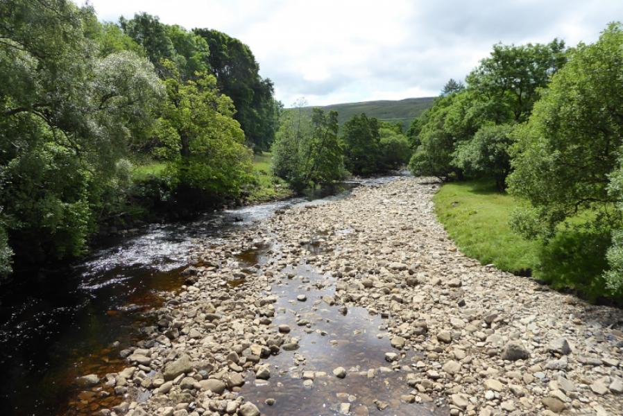
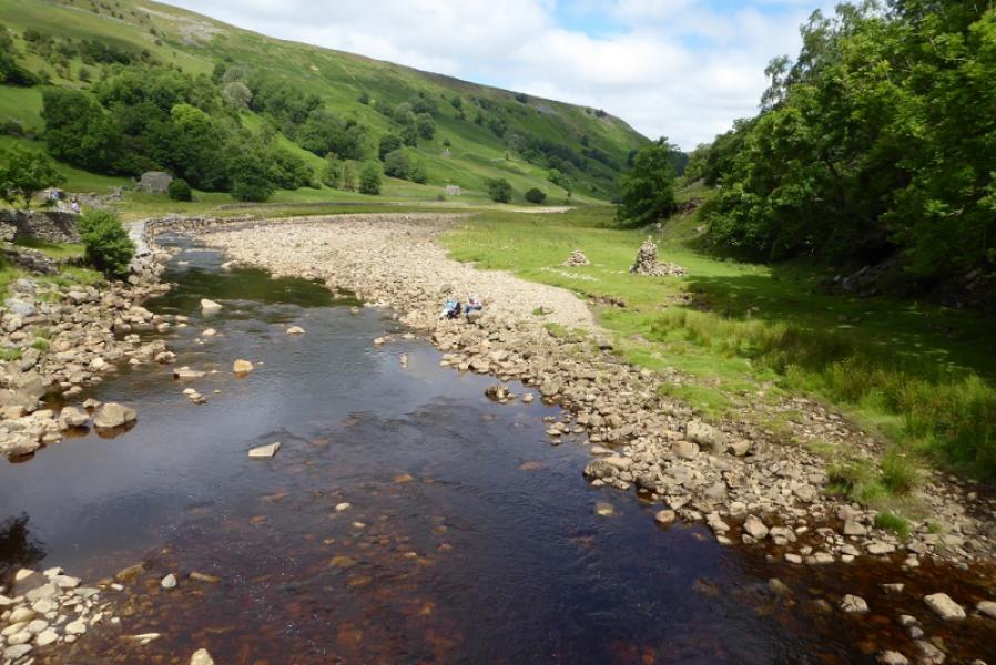
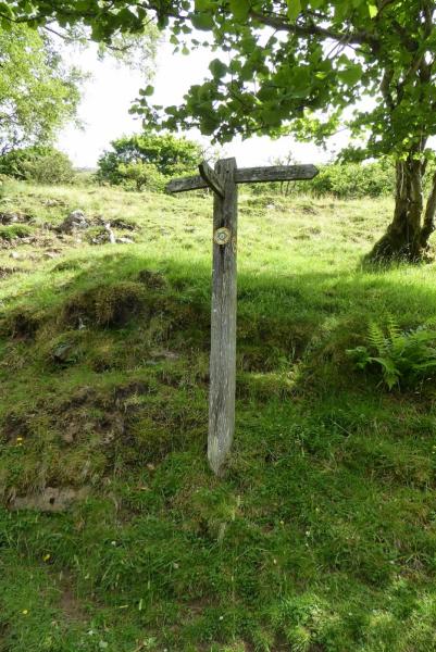
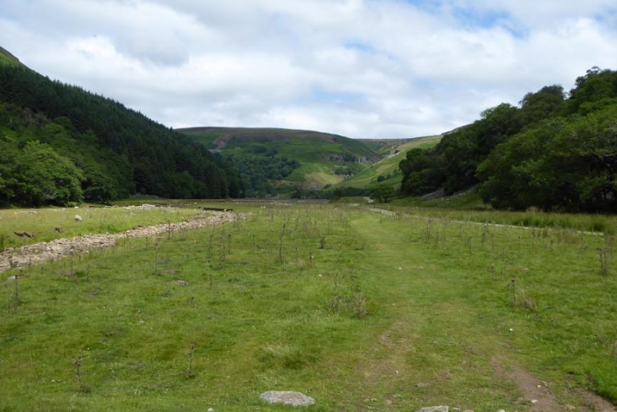
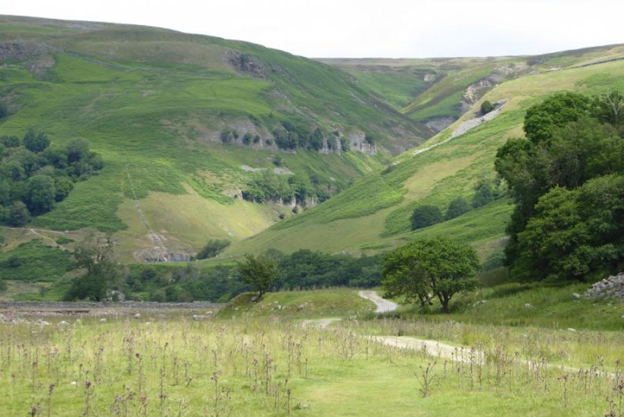
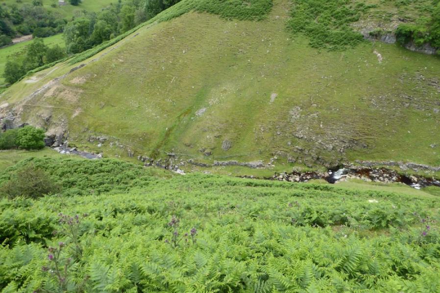
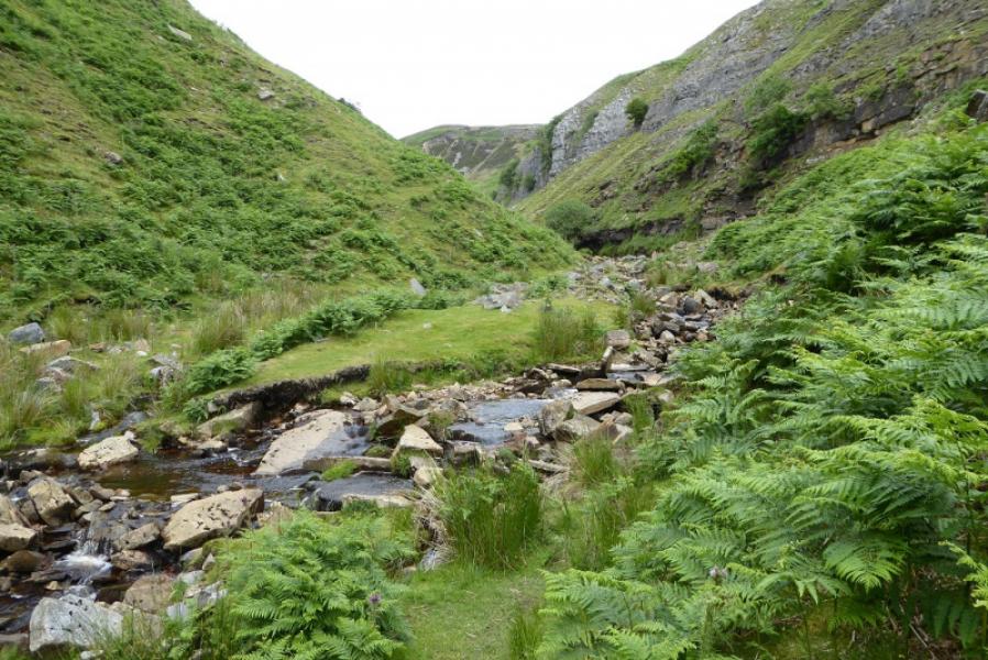
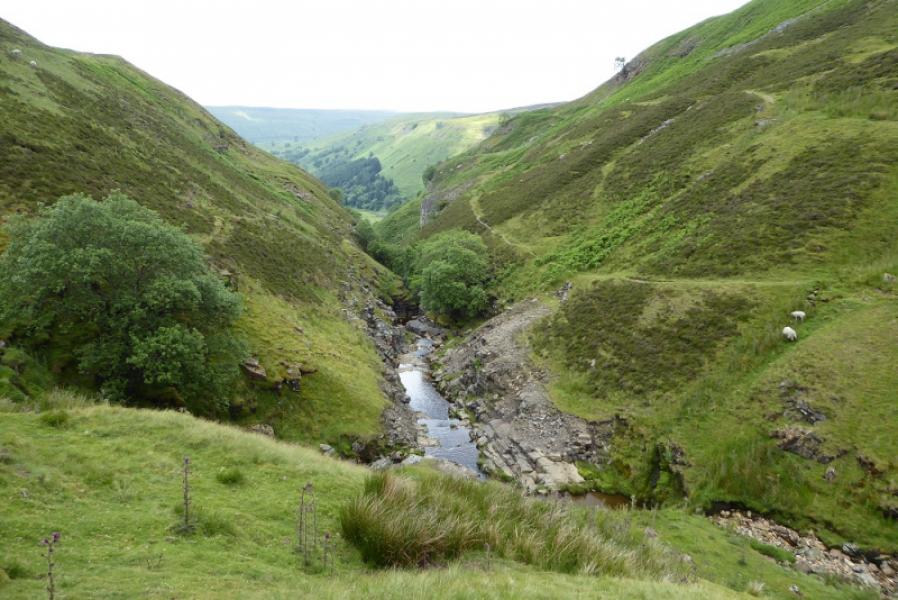
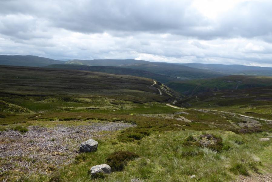
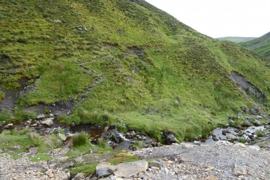
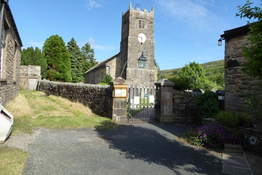
(1) In Muker village, walk up the road by the museum which soon passes the church (off the right). Follow the road round to the left and pass to the right of a red post box on a pedestal. There is a sign just after. Continue out of the back of the village onto a path/track. Note that the River Swale is well over to your right and you will need to cross it soon. Follow the path through some tight and strongly sprung gates. The path soon becomes flagged. The river will be crossed by a narrow footbridge which will be seen from the path but do not make a beeline for it as you will have to climb over a pristine stone wall. Stay with the path to reach a sign. Go right for Gunnerside and follow a path by the River Swale for a short distance to reach the narrow footbridge. Cross over, go up the steps on the other side and turn left, signed for Keld. The path soon joins a landrover track track. Follow this, by the River Swale, to reach the foot of Swinner Gill which will have been visible for some time in clear weather as it is a massive gully on the right. Just before the path twists and turns before Swinner Gill, note a path slanting up and going left to above Swinner Gill.
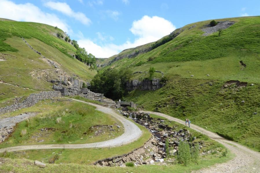
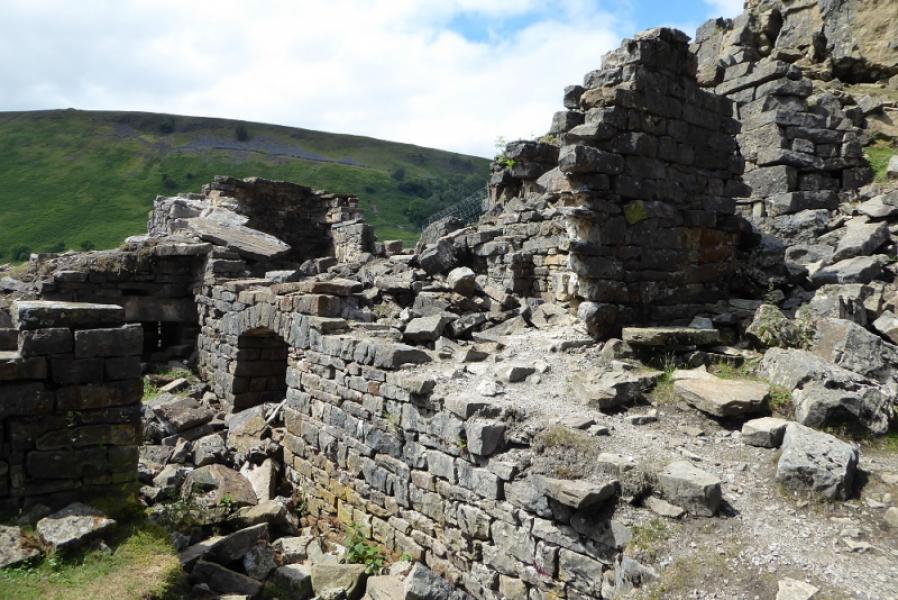
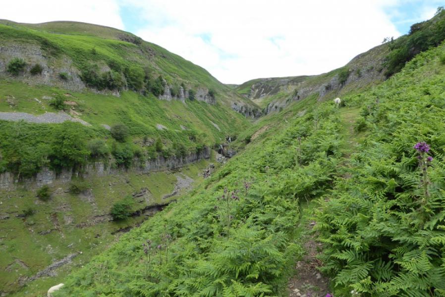
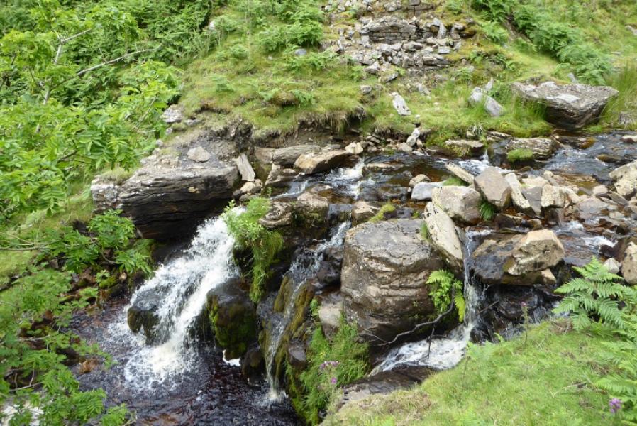
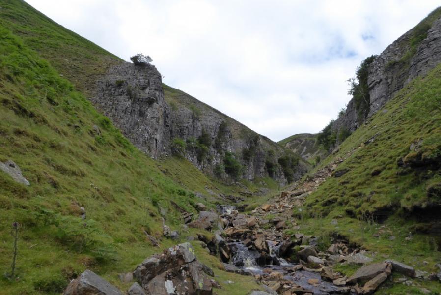
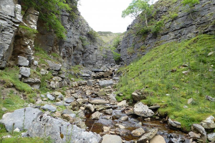
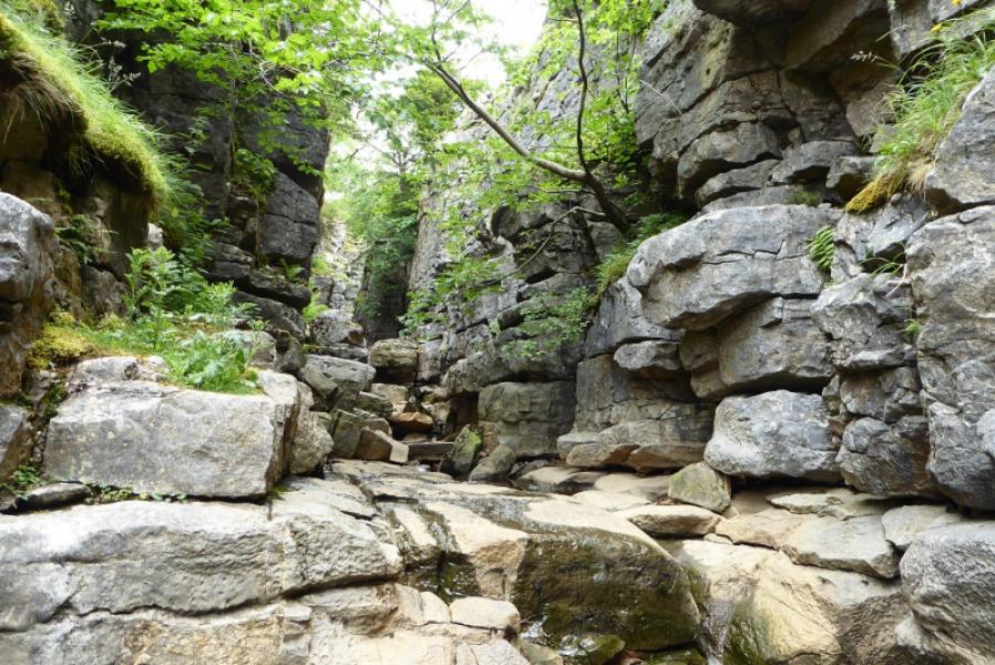
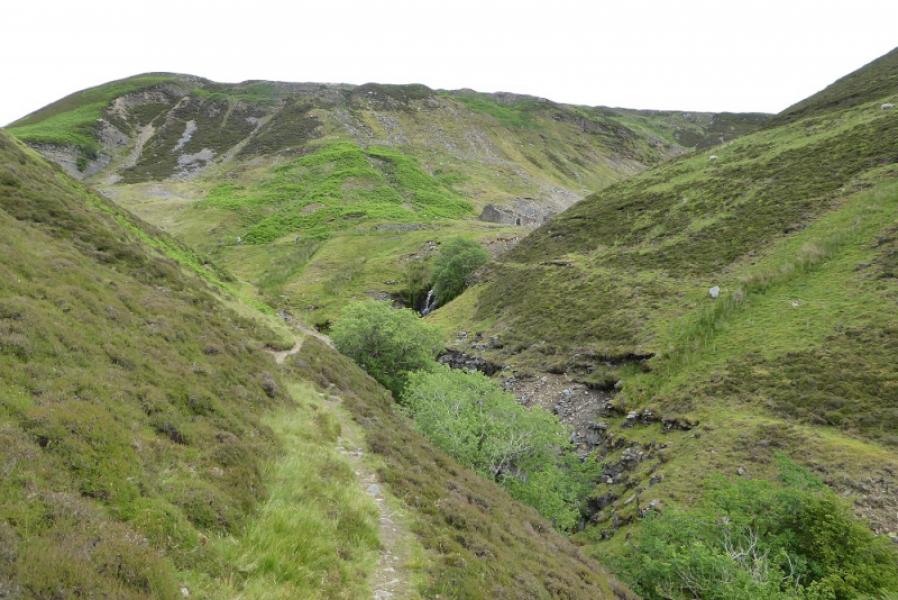
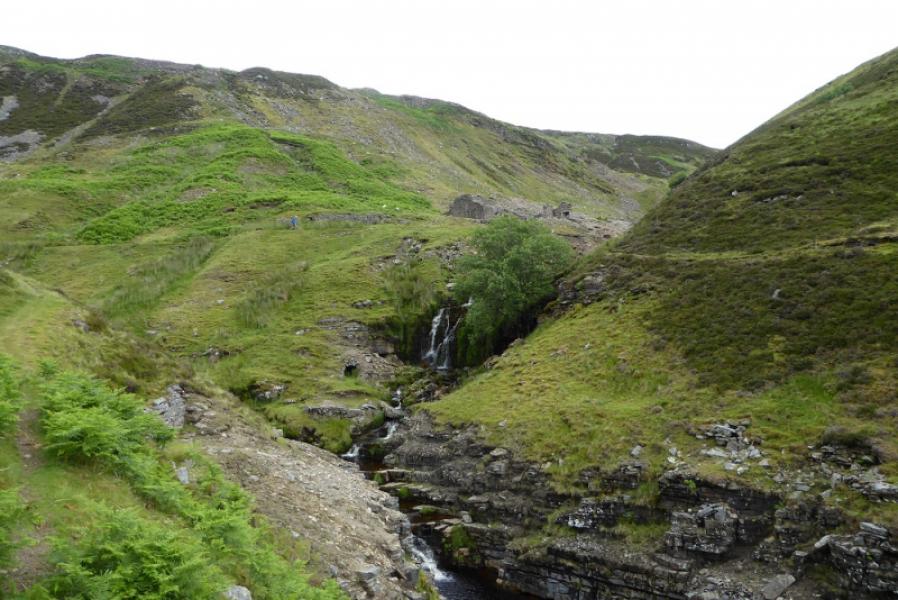
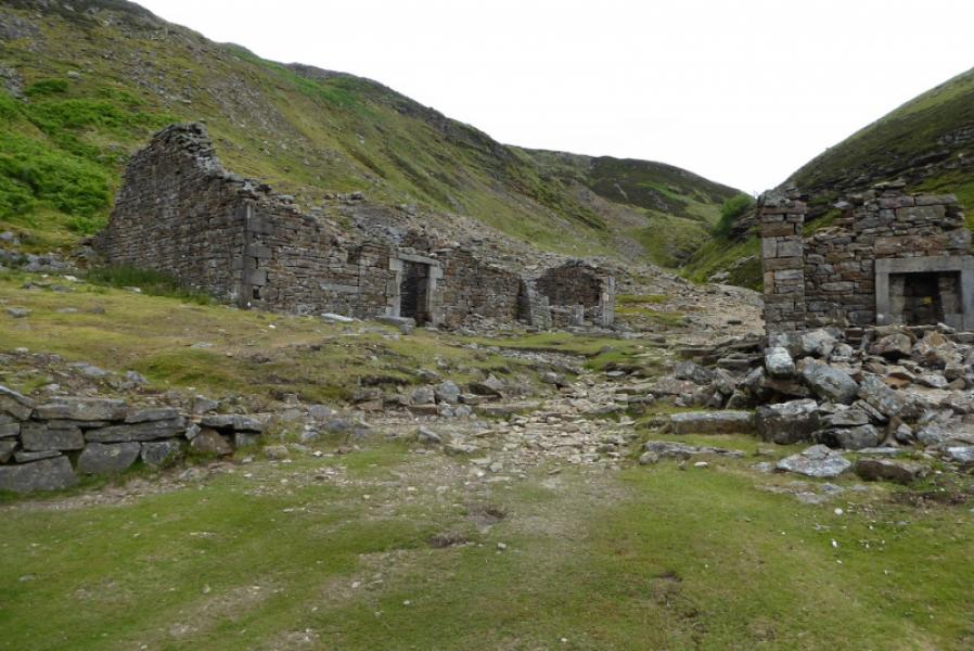
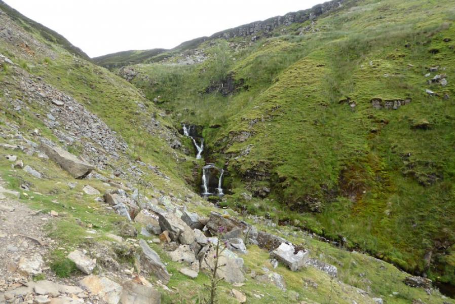
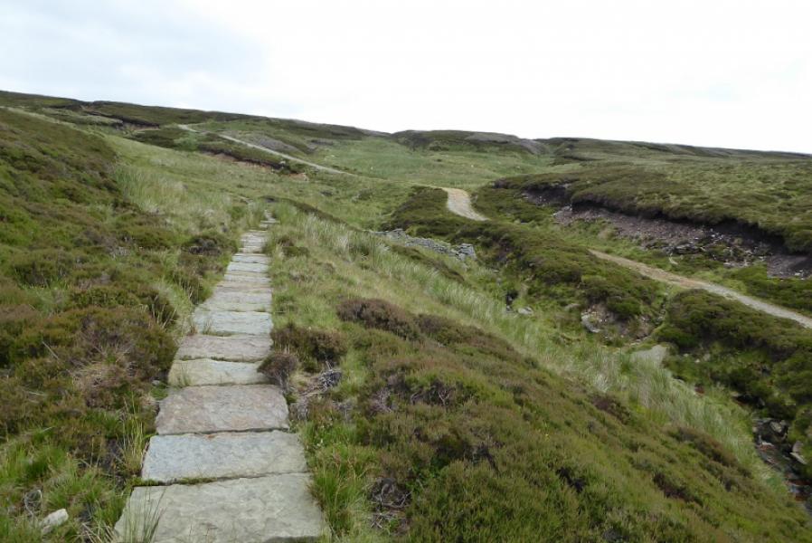
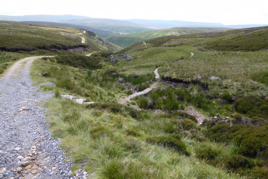
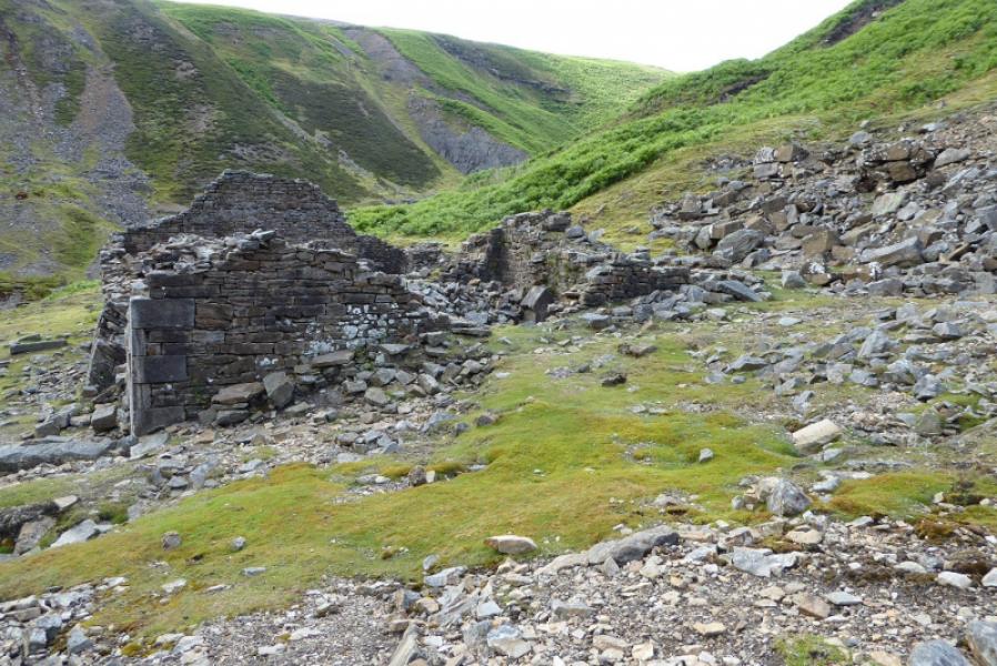
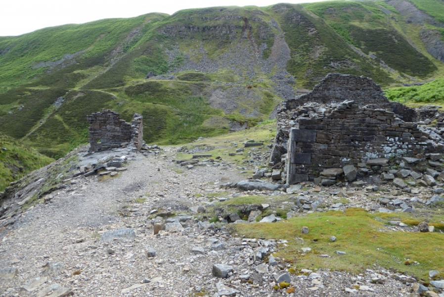
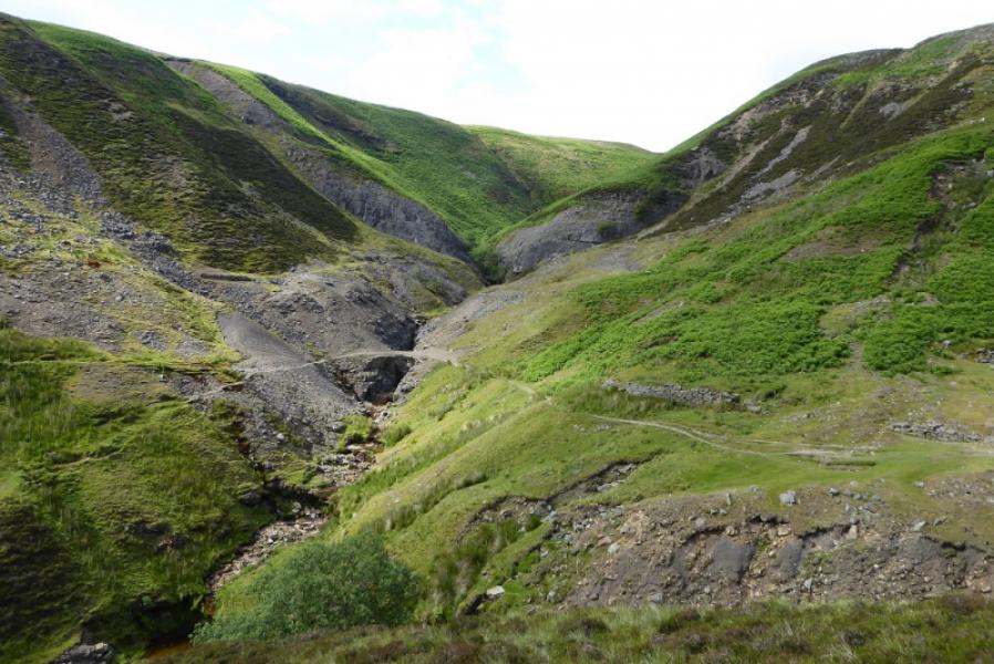
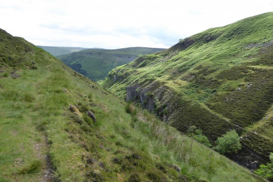
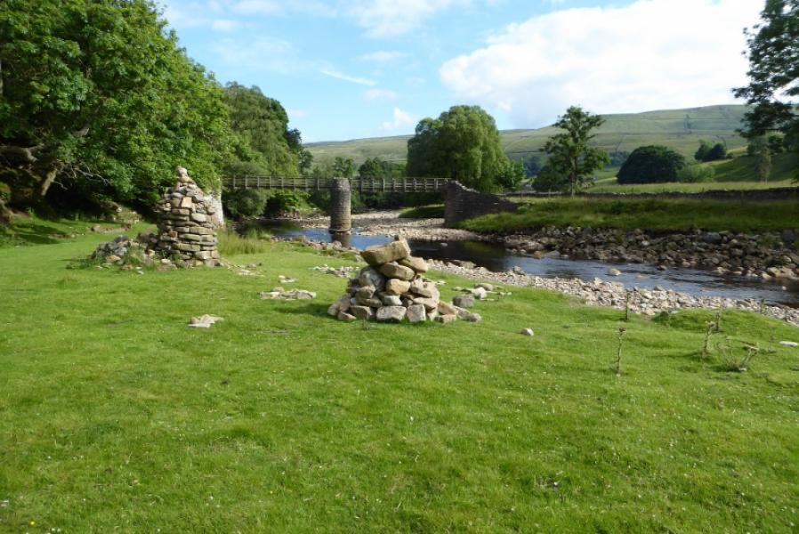
(2) The bottom of Swinner Gill is worth looking at then retrace to take the path slanting up and follow this to above Swinner Gill with the stream below and on your left. There have been a few landslips but progress is still possible although some care will be needed. There are good views up Swinner Gill and, behind, to Kisdon, the hill across the River Swale. The path passes below some crags without difficulty. Eventually, the path reaches the stream. If you wish to explore Swinner Gill, you can try picking a way up the side of the stream but the water level will need to be low and you will need to keep crossing over. Soon you will enter a narrowing, rocky gorge which starts after a rounded buttress on the left. In a dry spell, most will be able to get some distance until the gorge becomes very narrow and progress seems blocked by a short rock wall. Some may want to tackle that but to reach it with dry feet, the stream would have to have almost dried up. However, if you can pass it, you are close to the top of Swinner Gill. If like most, you have to retreat then go back to the rounded buttress, now on the right, and pick a way up the steep grass just beyond it to reach a good path above the rock. The good path can be more easily reached by retracing further down the gill. Once on the good path, follow it up with Swinner Gill now well below you on the right. Be careful, as a slip may be hard to hold before falling into the gorge. Reach an old stone packhorse bridge, over Hind Hole Beck, just after the Coast to Coast path joins from the left. Cross the bridge and follow the path right to the old ruins.
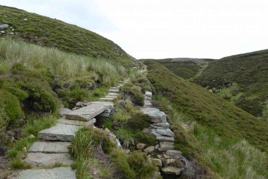
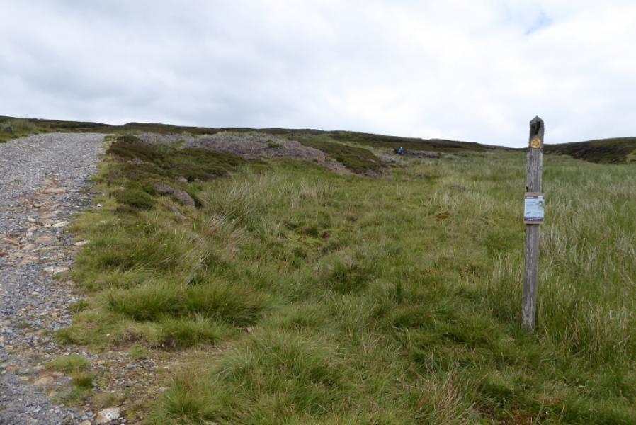
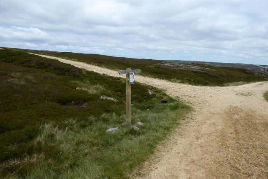
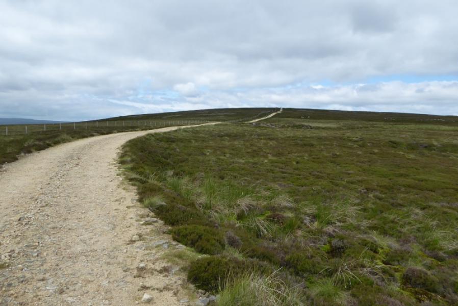
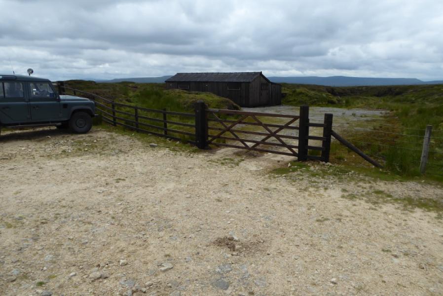
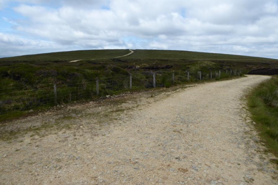
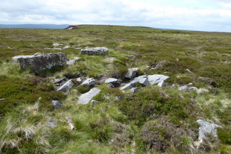
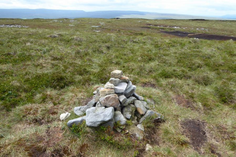
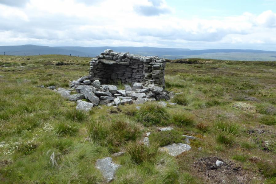
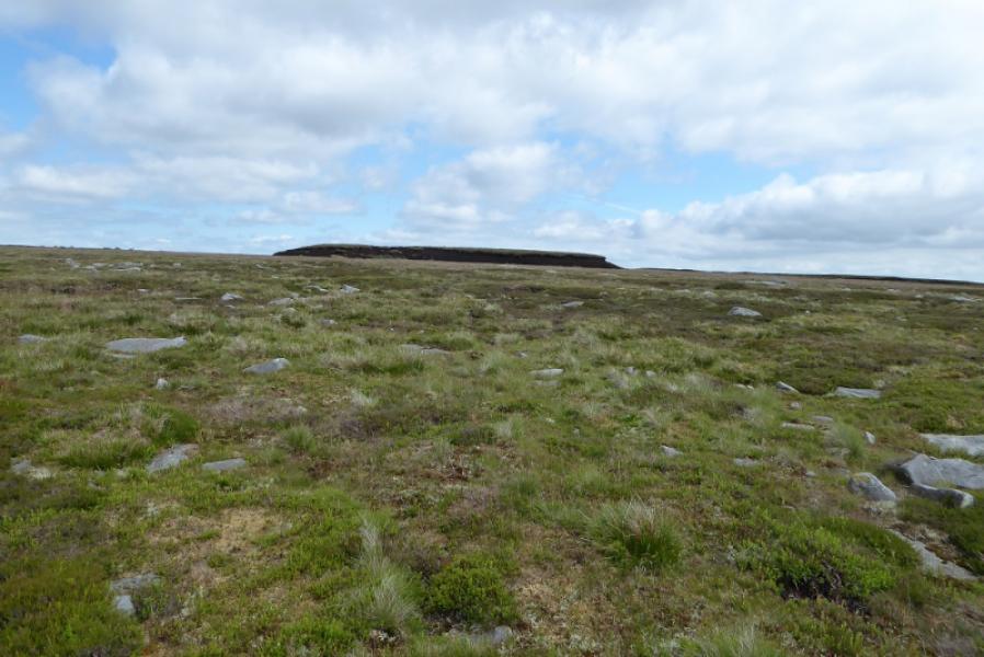
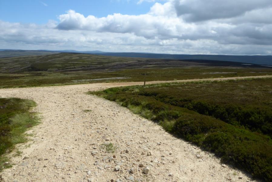
(3) Follow the path past the ruins. Swinner Gill has now split. Hind Hole Beck went under the bridge and you are now following East Grain (on the right). Follow the Coast to Coast path, slabbed in places passing some waterfalls. Join a landrover track and turn left. Follow the track for about 1 km until a similar track goes left. In clear weather, you will be able to see Moss Dam, a large lake, off to the right of the main track. Take the track going left and follow it, for over 2 km, passing a large hut, to about its highest point. It is not easy to tell where the highest point is as the ground is so flat and featureless. If it is clear, you will be able to see a small pile of stones about 200 m to the left. There is a faint path from the track. This last 200 m could be very tricky in thick mist. The small pile of stones is the summit of Rogan's Seat, 672 m. Beyond, if clear, there is a lower short, shelter wall which is much larger than the summit cairn. There is no other pile of stones to cause confusion.
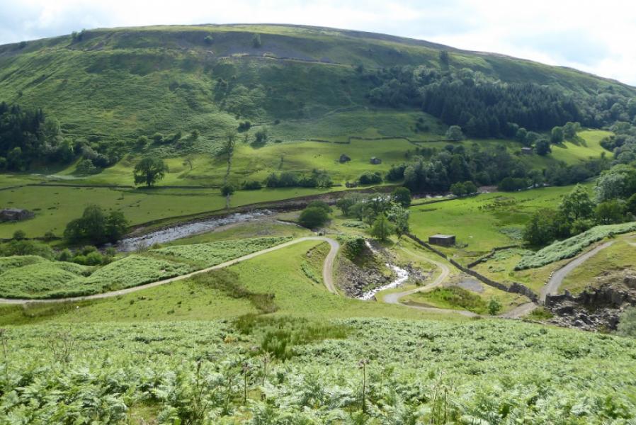
(4) Retrace to the track then south back to the main track with Moss Dam in view if clear.. Turn right and follow it to where the Coast to Coast path forks right to return to the ruins at the top of Swinner Gill. The easiest return is to cross the stone bridge and use the outward (lower) path above Swinner Gill to retrace to the bottom of the gill. An alternative is to take the obvious path from the ruins which goes to the left of Swinner Gill. This will mean crossing East Grain but that should be straightforward. The path is easy to follow but seems to peter out when the ground levels out. Continue but stay close to the edge on the right to meet a stone wall which becomes a fence closer to the gill. This avoids having to pick a way down through the crags. Cross the fence carefully (no stile) then pick a way down moderately steep ground to meet the outward (slanting) path which can be followed down to the track by the River Swale. Turn left and walk back to the footbridge then retrace to Muker.
Notes
(a) This walk took place on 8th July, 2021.
Photos - Hover over photo for caption. Click on to enlarge. Click on again to reduce.