Get Lost Mountaineering
You are here: England » Yorkshire Dales » Western Area
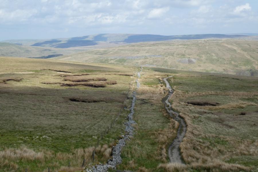
Dodd Fell Hill from Pennine Way junction with Cam Houses road
Dodd Fell Hill from Pennine Way junction with Cam Houses road
Start/Finish
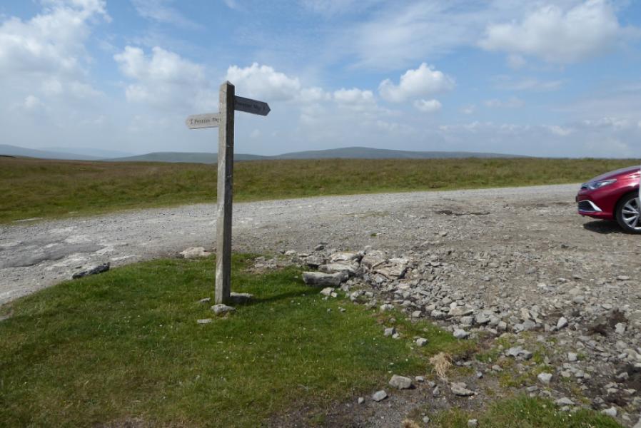
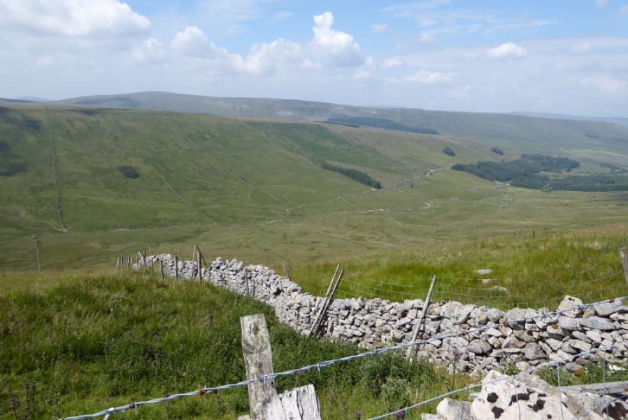
The junction of the Pennine way with the Cam Houses road at SD 829 833 where there is usually sufficient parking space by a Pennine Way sign and there is a significant gravel track heading north which cannot really be missed. This is usually reached from Hawes, A684, by taking the road towards Kettlewell which goes through Gayle just after leaving Hawes before climbing onto the high moors and reaching over 550 m; this road my be impassable in winter conditions. About 3 miles from Gayle, the road to Kettlewell goes left and the Cam Houses road goes right, passing through a few gates to reach the start after about 2 more miles from the junction. If coming from the Kettlewell direction, drive past Starbotton to Buckden then turn left for Oughtershaw and follow the road for 7 – 8 miles up to Cam Houses road junction then proceed as above.
Distance/Time
4 km. About 1 – 2 hours.
Peaks
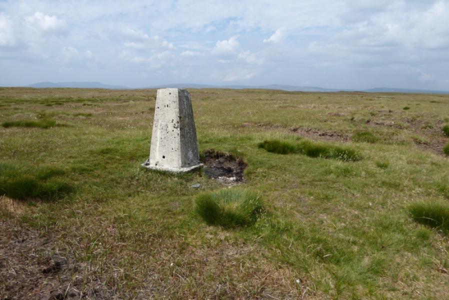
Dodd Fell Hill, 668 m, SD 840 845. OL2 Yorkshire Dales: Western Area
Introduction
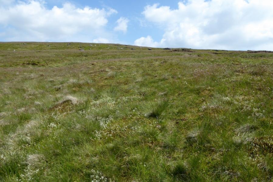
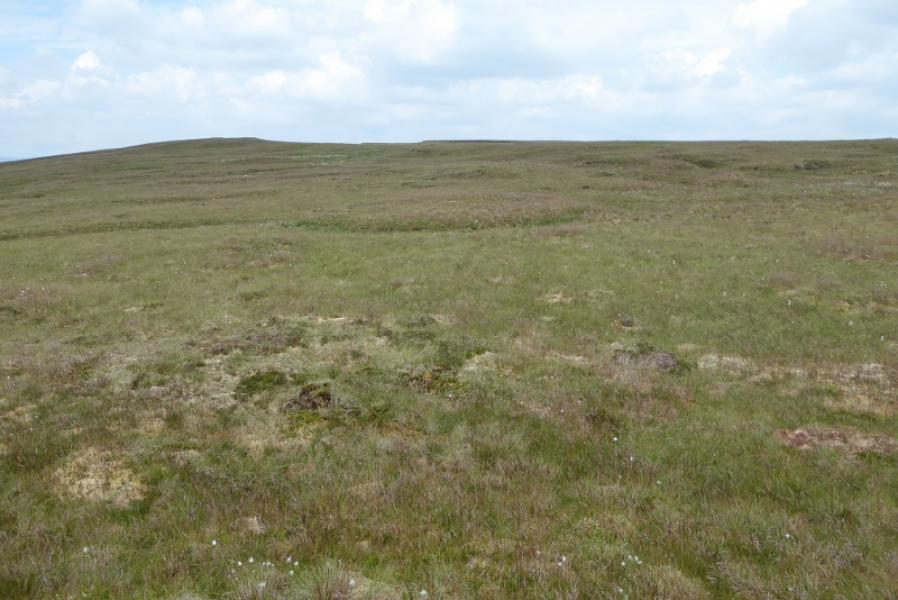
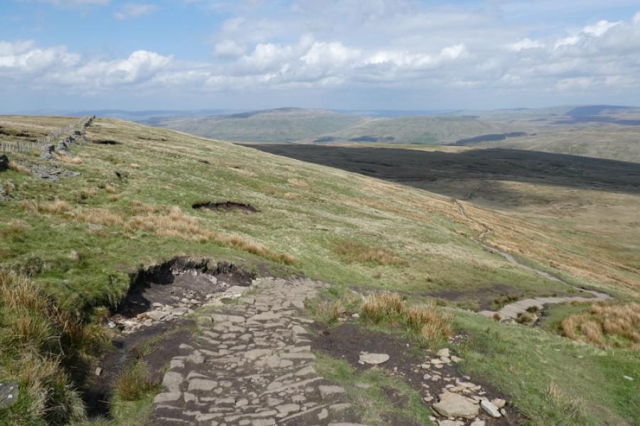
Dodd Fell is a fairly featureless hill from the south but it is the highest point to the south and south east of Hawes and there is nothing higher within the large triangle contained by the road from Hawes to Buckden and the road from Buckden to Aysgarth then onto Hawes. There are good views to Great Knoutberry Hill and Whernside. The Pennine Way (from Horton to Hawes) passes the summit on its east flank being only about 600 m away at the closest approach but there are few paths on the hill itself which may present problems in poor visibility as the hill is quite featureless so it is best to tackle this route on a clear day. The route offered is as circular as possible but means some extra rough going. However, very little height has to be gained as the summit is only about 100 m above the start.
Route
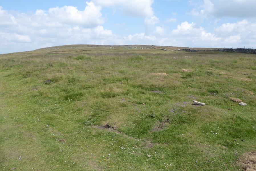
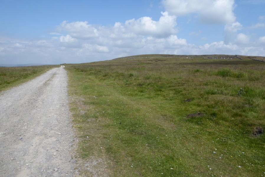
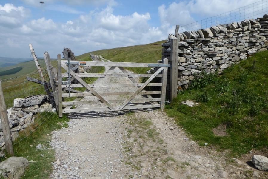
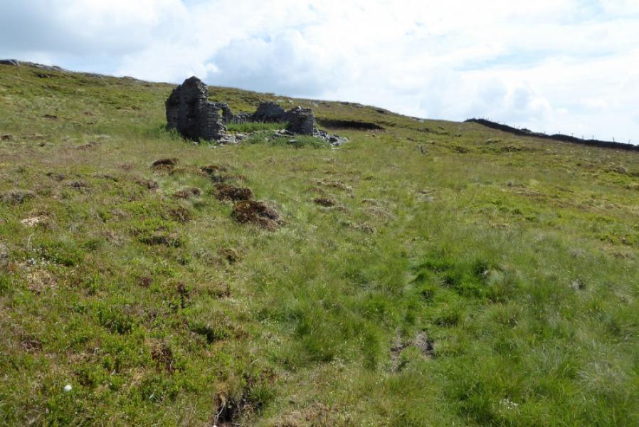
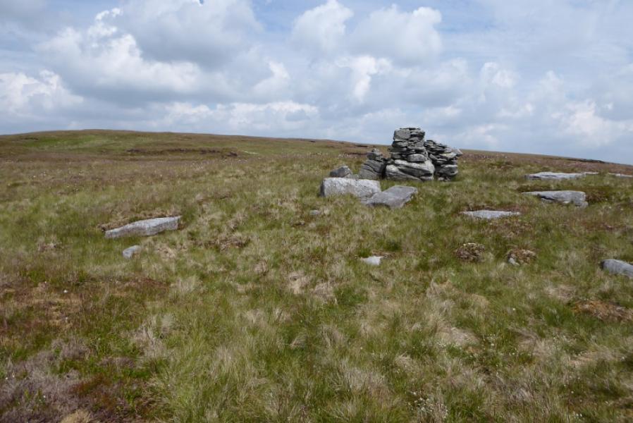
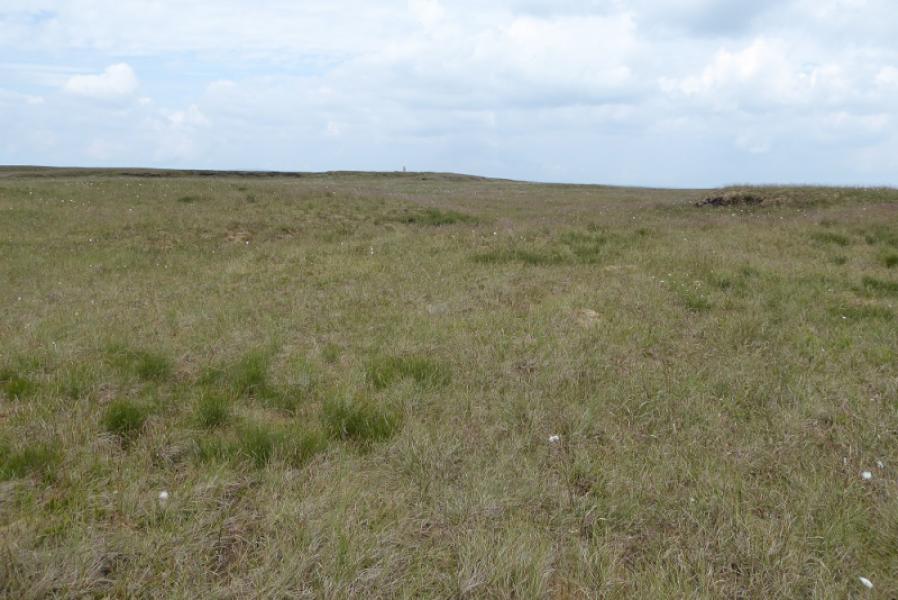
(1) From the junction of the Cam Houses road with the Pennine Way, walk north along the track for about 700 m until a gate is passed through. Immediately leave the track and follow a faint path which meanders around, leaving the wall then coming back towards it. Don't follow the wall as it is going away from the summit but strike off, roughly east, towards the ill-defined crest. You are likely to pass the old ruin of Rock Edge Cottage then you should notice a cairn further on. Head for this which does not seem to have a path going anywhere from it! The ground is now very featureless with little in the way of slopes so head roughly north east over several shallow shoulders until the summit trig point finally comes into view. There is no cairn so this is the summit of Dodd Fell Hill, 668 m. Faint paths may appear close to the summit.
(2) The easiest return is to follow a the right hand faint path, descendingroughly south west, until it seems to peter out then continue on roughly the same line until the track is seen and you can drop onto it, north of the gate, to return to the start
Notes
(a) This walk took place on 2nd July, 2021.
(b) A possible alternative ascent (not explored) is to continue further on the track to where there is an obvious stream coming down from the right; this may be completely dry in the summer but its stony gully is still obvious. Above the track, on the north side of this gully, was a cairn on 2/7/21 but no obvious path in sight. This may give a shorter route to the summit if you head north east from the top of the gully and you may pick up the faint path used, above, in descent.
Photos - Hover over photo for caption. Click on to enlarge. Click on again to reduce.