Get Lost Mountaineering
You are here: England » Yorkshire Dales » Central & Northern Areas
Birks Fell and Trig Point from Litton
Birks Fell and Trig Point from Litton
Start/Finish
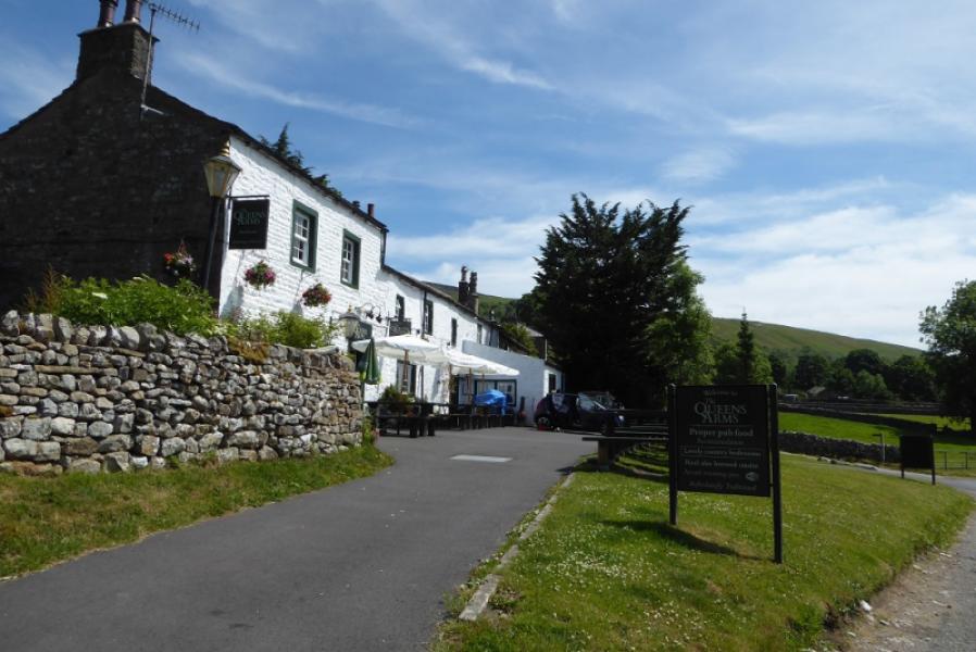
Litton village which is about 5 miles up the picturesque valley of Littondale. The road is quite narrow in places. It leaves the B6160 up Wharfedale at Skirfare Bridge which is just north of the well known Kilnsey Crag. There is another possible approach from Stainforth on the Settle to Horton road; this is quite a high and scenic route as it passes behind Pen-y-Ghent before descending to Halton Gill which is further up Littondale than Litton. Thsi approach may not be possible in winter as the road is not gritted and snowdrifts are common. Litton village has a pub called the Queens Arms which is the start of the walk; its postcode is BD23 5QJ . It is usual possible to park on the street close to the pub.
Distance/Time
9 km. About 3 - 4 hours.
Peaks
Birks Fell, 610 m, SD 918 763.
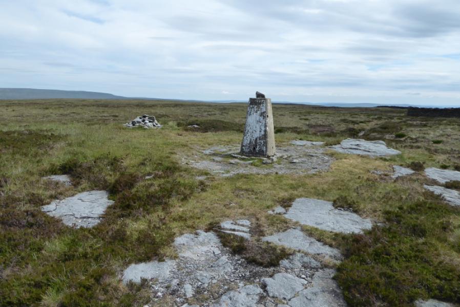
Birks Fell Trig Point, 607 m, SD 926 748.
OL30 Yorkshire Dales: Northern & Central Areas
Introduction
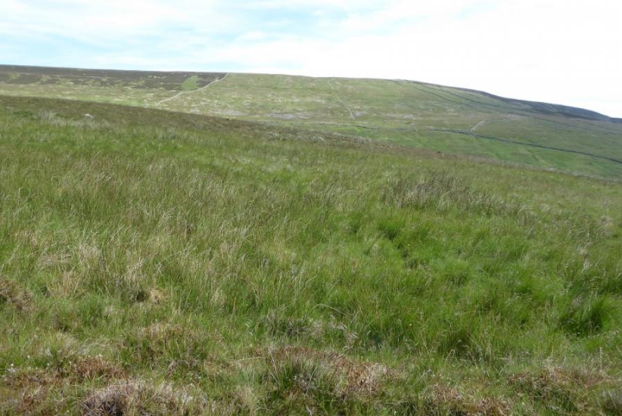
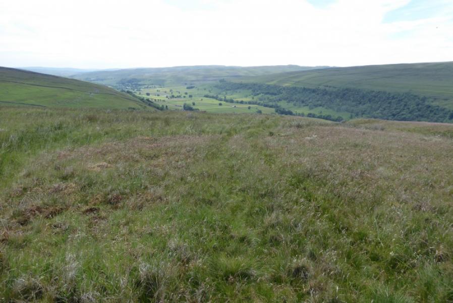
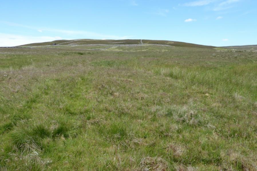
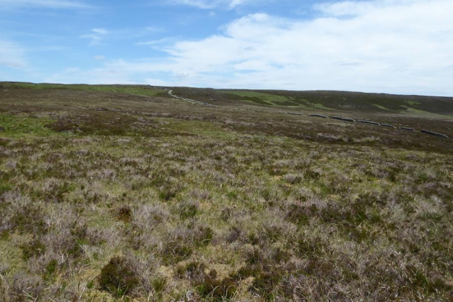
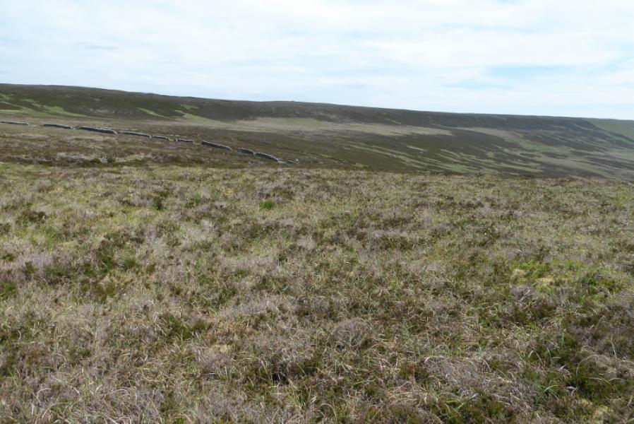
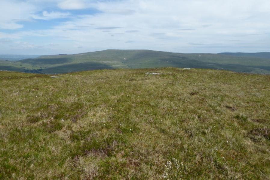
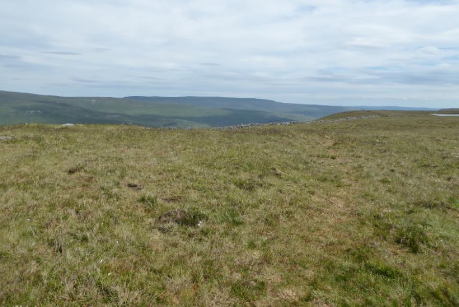
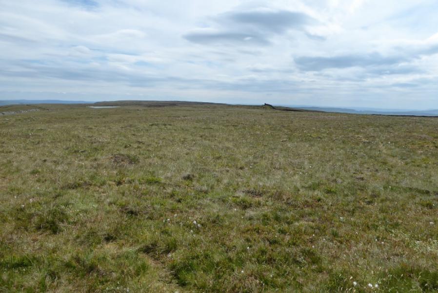
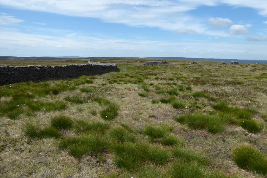
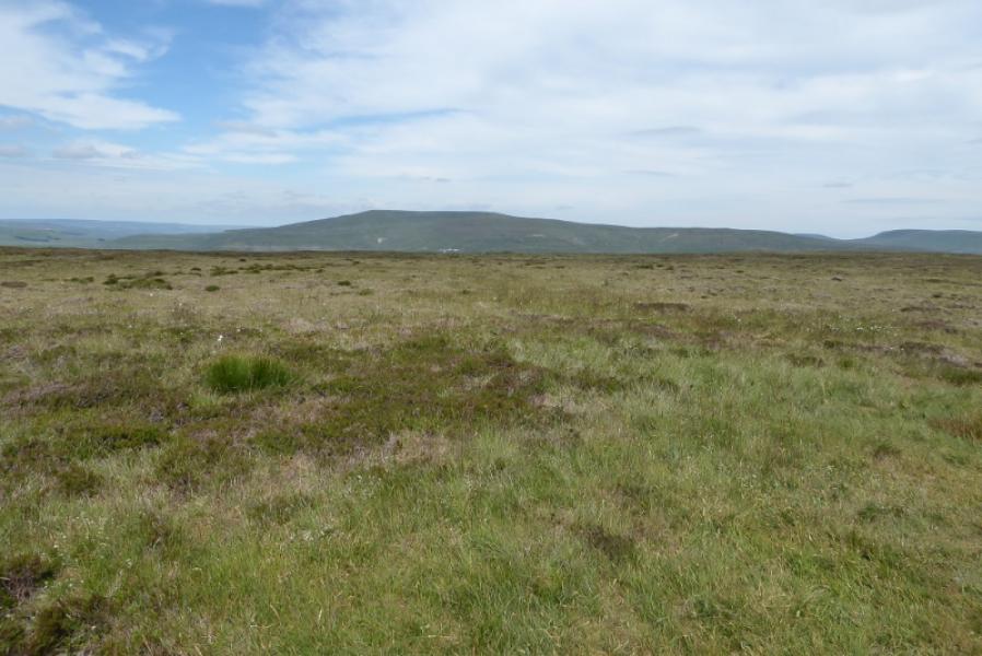
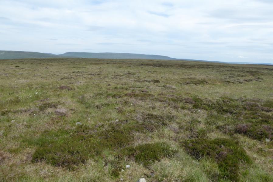
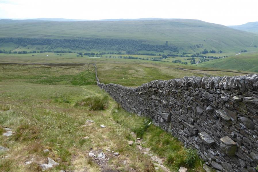
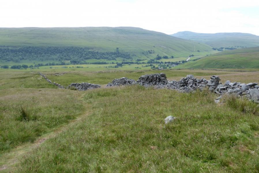
Birks Fell is the name given to the highest point on a long ridge which starts at Skirfare Bridge and continues all the way to Horton-in-Ribblesdale, curving around to the north of Pen-y-Ghent and Plover Hill. Much of this ridge is almost level and around 600 m. The terrain is quite featureless but there are plenty of walls to aid navigation. The summit and trig point are about 2 km apart. Views are good including to Pen-y-Ghent and Plover Hill, Buckden Pike and Great Whernside. The ascent route is quite rough and pathless higher up so progress will be slow but it does give a circular route.
Route
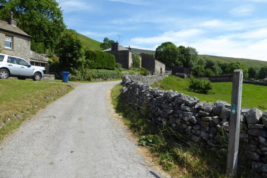
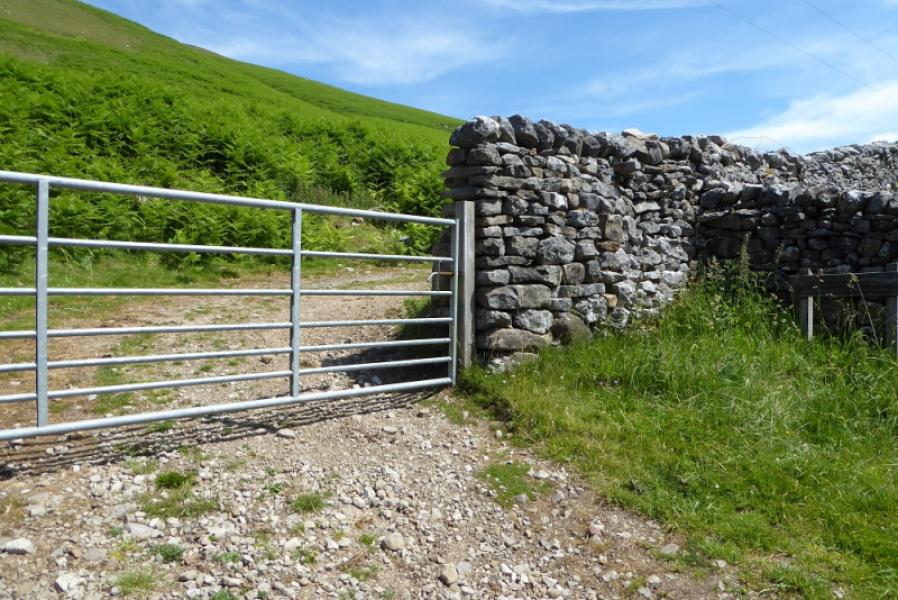
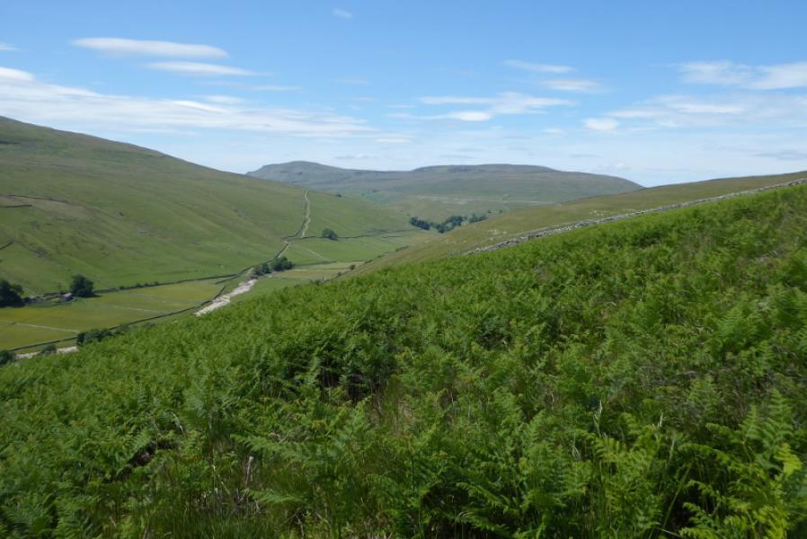
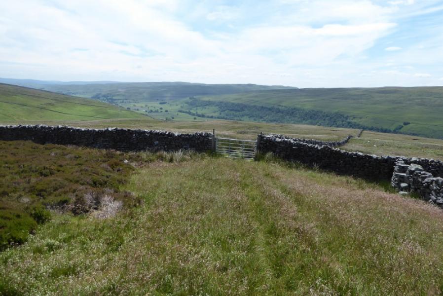
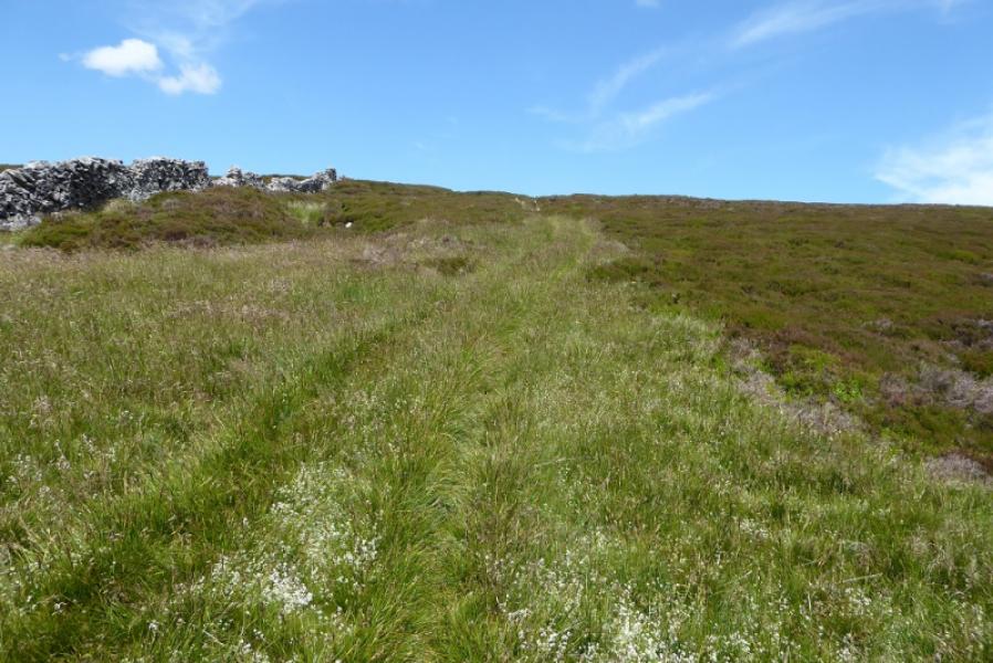
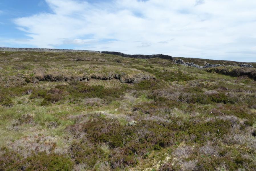
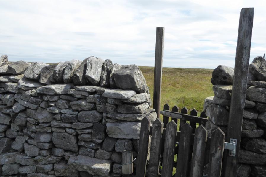
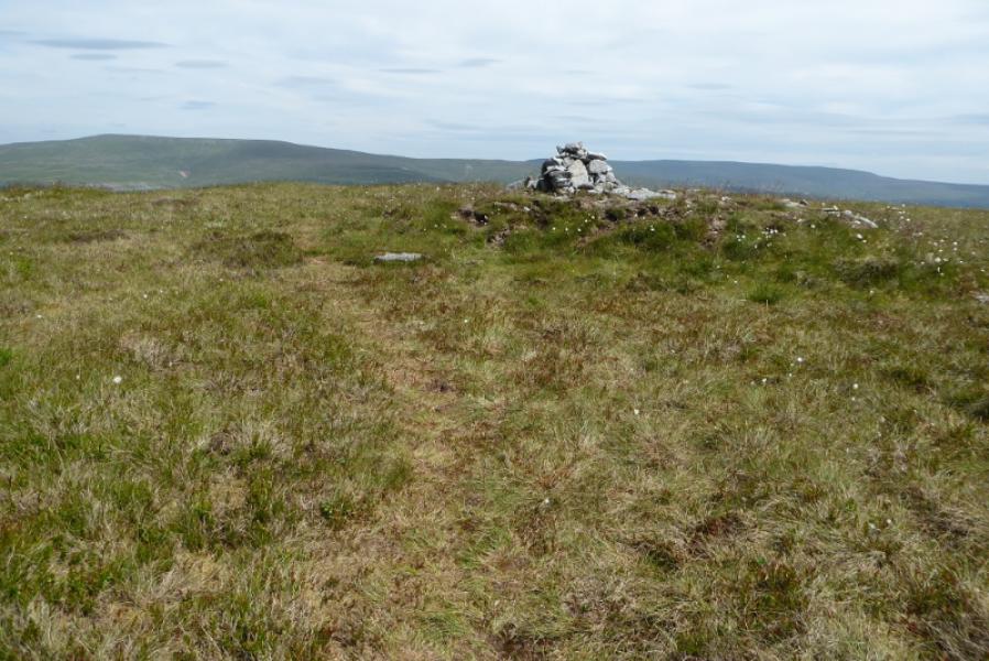
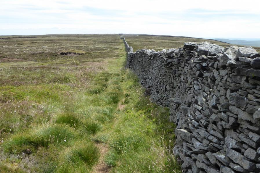
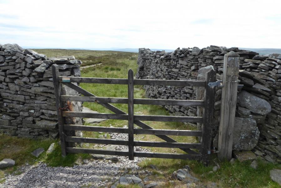
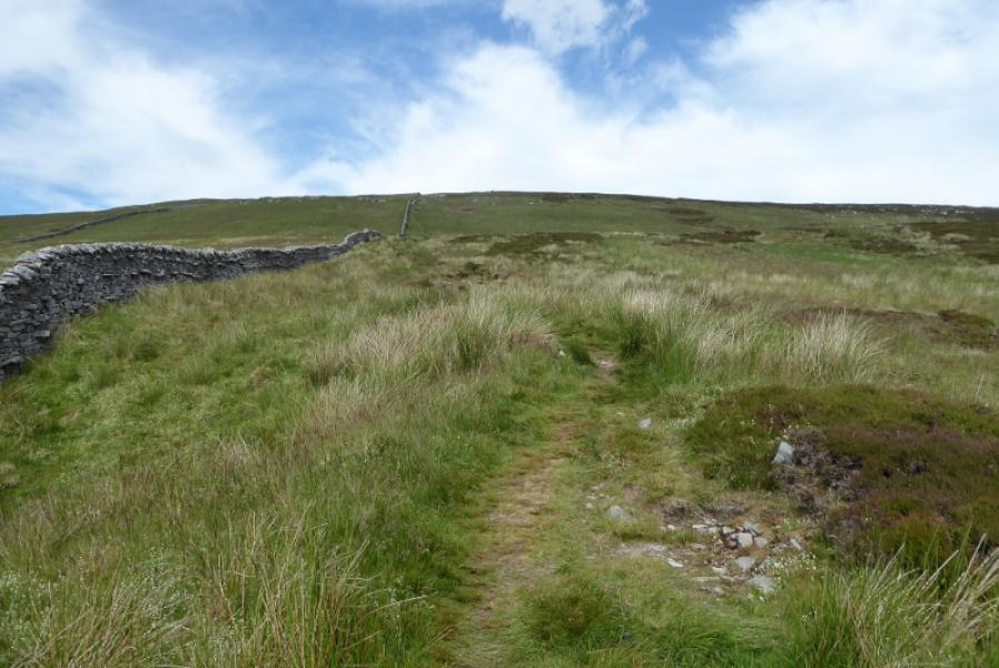
(1) From the Queens Arms, go up the track on its right side. There is a signpost on the main road. Soon reach a gate where the bridleway goes ahead before the gate but don't follow that. Instead, go through the gate and stay with the track. This soon starts to climb, steep in places and meanders up Middle Moor ridge. Higher up, a first junction is reached. After here the route is not very distinctive but there are occasional paths and tracks. The best route seems to be just to the right of the crest where a broken wall can soon be followed. This is to the east of the wall along the top of the crest. A wall is crossed by a gate higher up and a building may be seen off to the left on the crest of this very broad ridge. A faint track may be followed after this gate. Further up, this crosses the wall being followed and heads towards the wall on the crest. Leave the track and stay with the wall to reach a corner where the wall goes right and twists and turns. You want to reach the top of this wall by either following it or cutting across the rough ground (slow going) to reach the top where there is a gap in the wall. If you go through the gap, you will have to cross the wall on your left as the summit is on that side. The Explorer map shows a 608 spot height on the south side of this wall but the highest point is on the north side. It is best to cross the wall at the first weakness you come across then follow the wall south east. A small gate crosses a side wall just before the summit. If you haven't crossed the main wall by now, it will be awkward crossing it here. From the gate a path leads to a small mound on which sits a small cairn which is the summit of Birks Fell, 610 m.
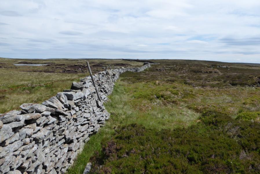
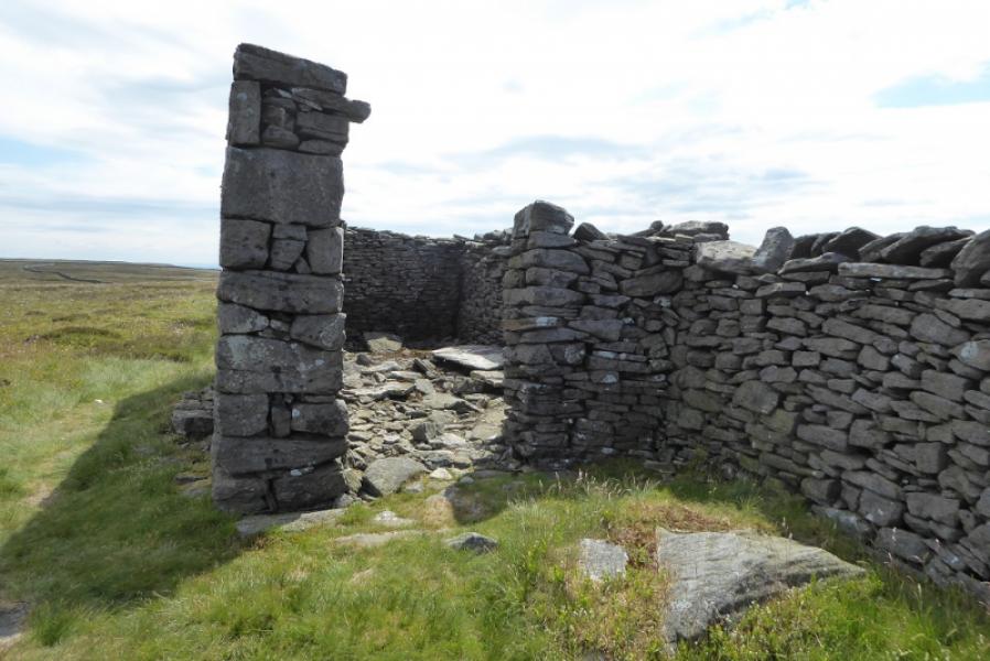
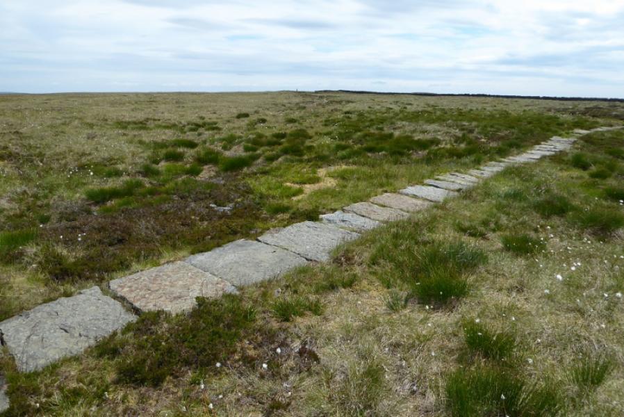
(2) Follow a faint path from the summit back to the main wall and follow this for about 2 km on a reasonable grassy path. In clear weather, the trig point will be seen. Pass a ruin of a stone hut built into the wall. A slabbed path, part of the bridleway from Litton to Buckden is crossed about 200 m before the Birks Fell Trig Point, 607 m, which has a small cairn close by.
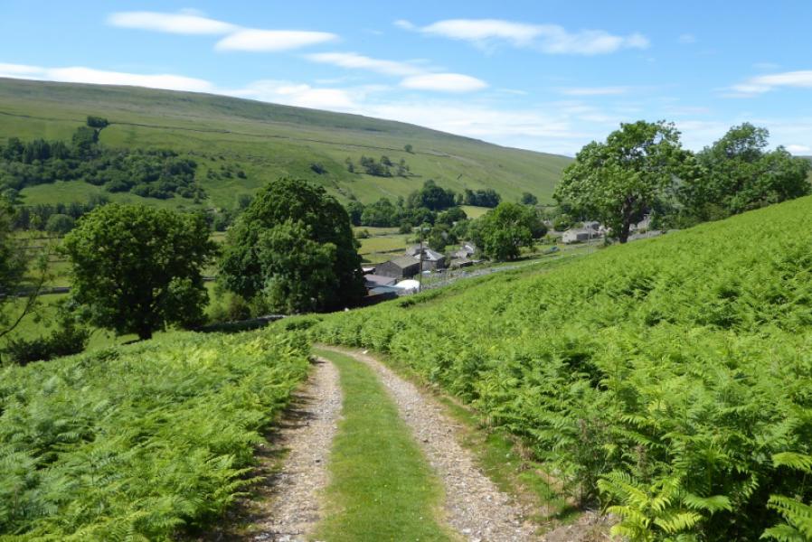
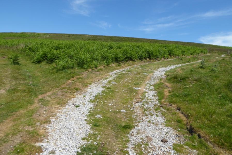
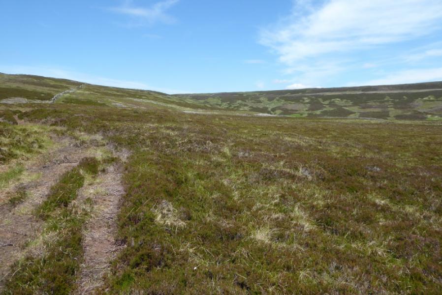
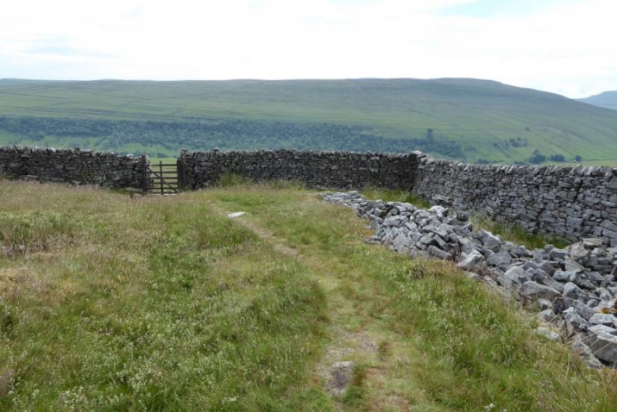
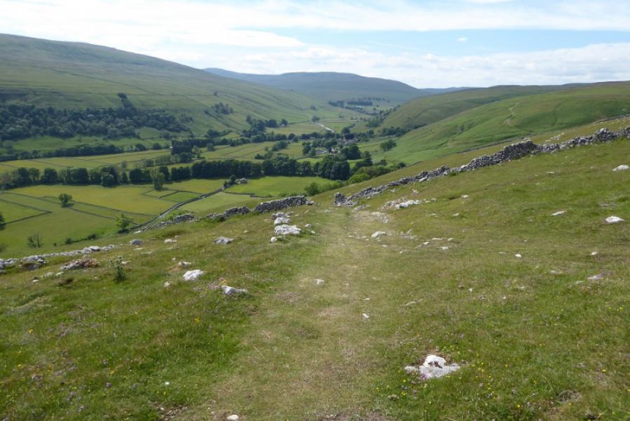
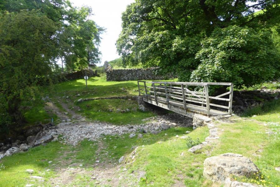
(3) Follow a faint path heading back towards the main wall and follow this north east until it meets the slabbed path at a gate. Go through the gate and follow the path down. It is a mixture of grassy, stony and moderately steep sections in places but offers good views of Littondale. The route is fairly straight and obvious with a wall on the right for much of the way. Eventually the path meets a grassy, stony track and turns right, slanting down the hillside towards a wood. At the bottom, Crystal Beck is crossed. There is a bridge if needed. Continue to reach where the track used earlier and follow it back into Litton
Notes
(a) This walk took place on 29th June, 2021.
(b)A less strenuous route, on better paths, could reverse the descent route and return the same way. This will not save much distance but will save some time and avoid the unpleasnat, rough and pathless ground on the ascent.
Photos - Hover over photo for caption. Click on to enlarge. Click on again to reduce.