Get Lost Mountaineering
You are here: England » Yorkshire Dales » Central & Northern Areas
Buckden Pike from Buckden returning via Starbotton
Buckden Pike from Buckden returning via Starbotton
Start/Finish
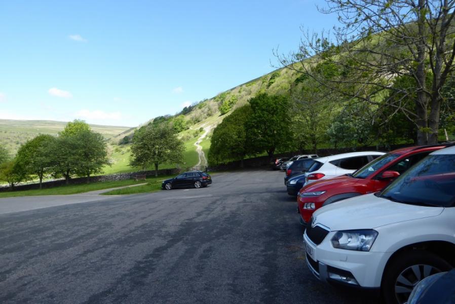
Buckden village car park which is at the north end of the village and fairly obvious from the main road. It is a pay and display car park with toilets. Buckden is on the B6160 which is the road up the Wharfe valley. The main village in the valley is Grassington with numerous shops. Further north, Kettlewell is smaller. Further north still is the small village of Starbotton which just has a pub. Continuing north, Buckden is similar in size to Starbotton and had a pub and small village shop. The River Wharfe swings west at Buckden but the B6160 continues north towards Aysgarth on the Leyburn to Hawes road, A684.
Distance/Time
12 km. About 4 - 5 hours.
Peaks
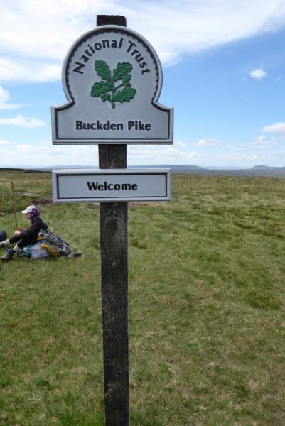
Buckden Pike, 702 m, SD 960 787. OL30 Yorkshire Dales: Northern & Central Areas
Introduction
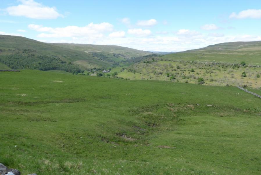
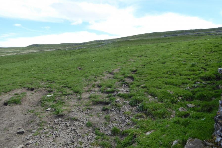
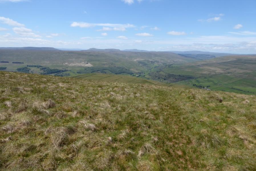
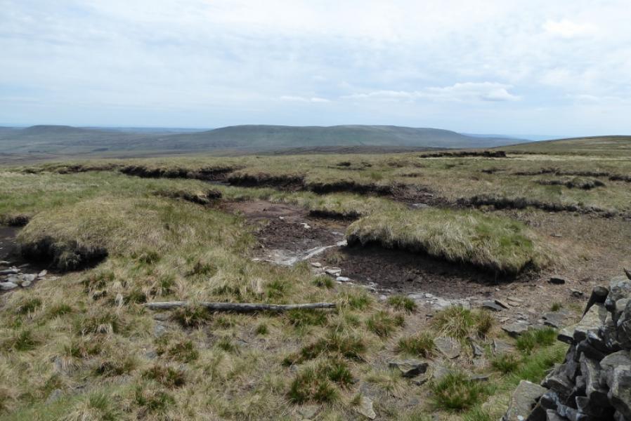
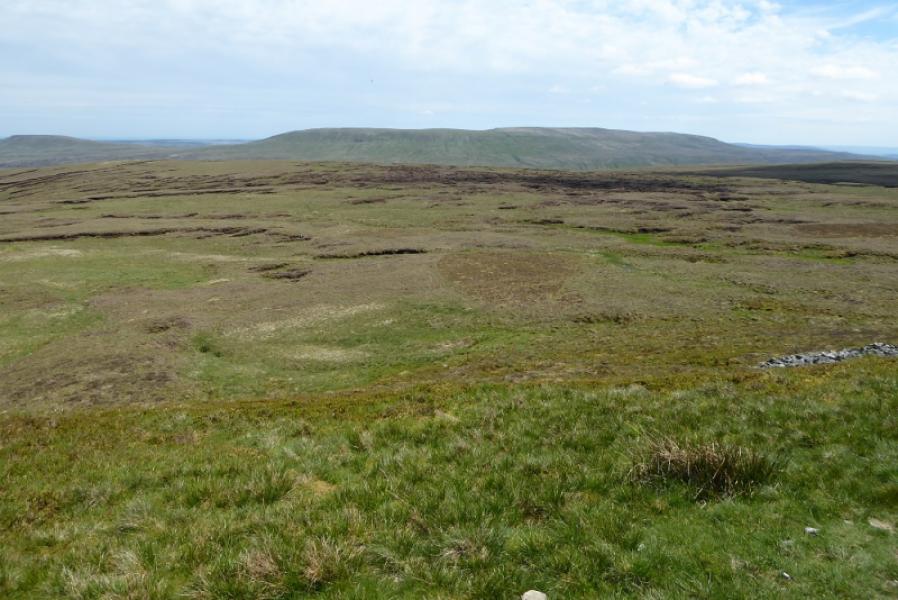
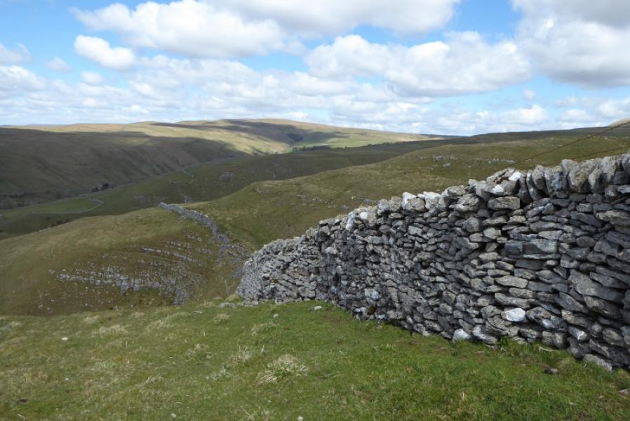
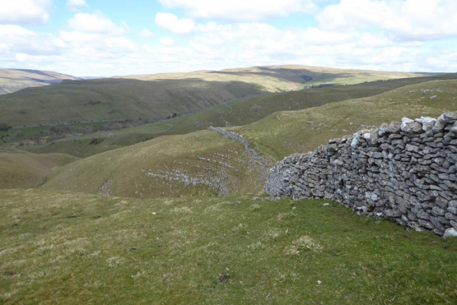
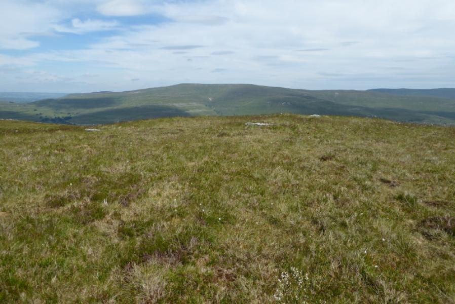
Buckden Pike is a high moorland top. It is less than 4 km from the small village of Buckden and less than 6 km from the equally small village of Starbotton. The summit is well hidden and cannot be seen from either Buckden or Starbotton. In fact, on the described route, the summit is not seen until within about 100 m of it! Navigation is straightforward from Buckden with good paths and signs. Looking south west from the summit, there is a panoramic view taking in Fountains Fell, Pen-y-Ghent/Plover hill, Ingleborough and Whernside (not to be confused with Great Whernside to the south east). The final descent into Starbotton is noticeably step despite being on a concrete surface and may be problematic when icy. Parts of the moorland stretches can be boggy after rain especially after the memorial.
Route
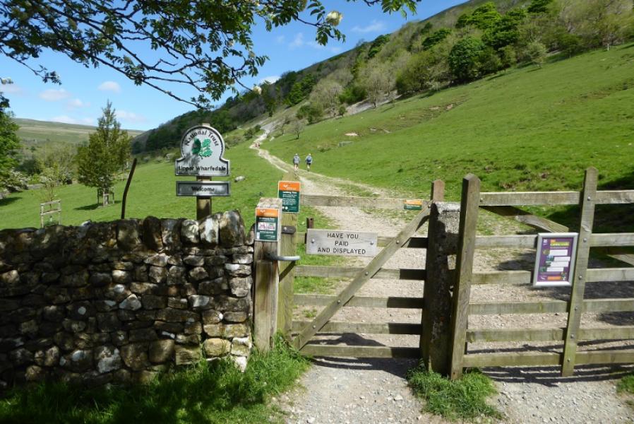
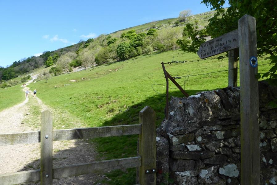
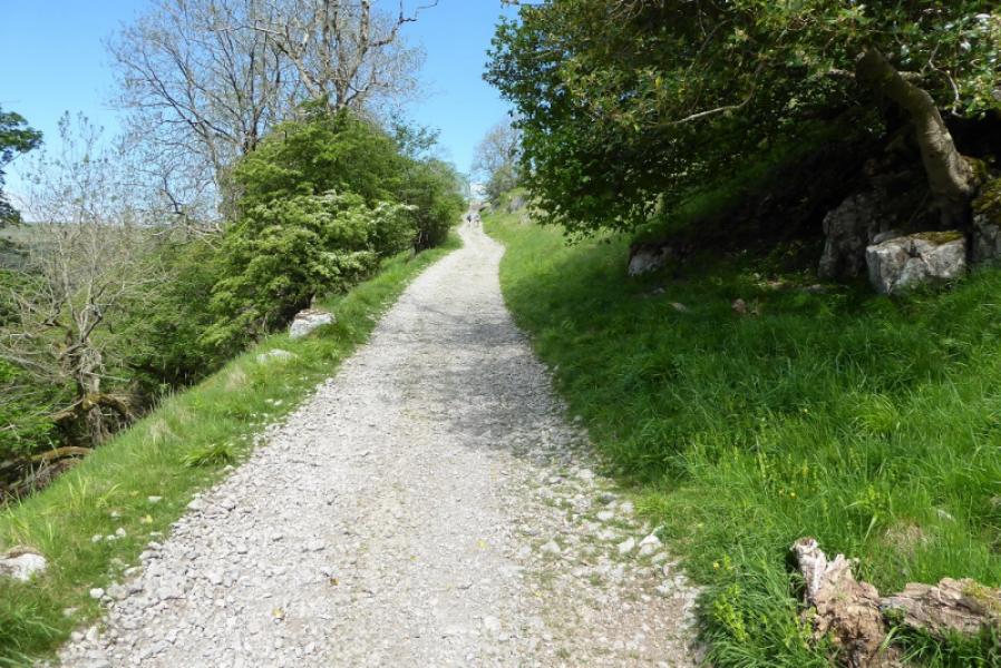
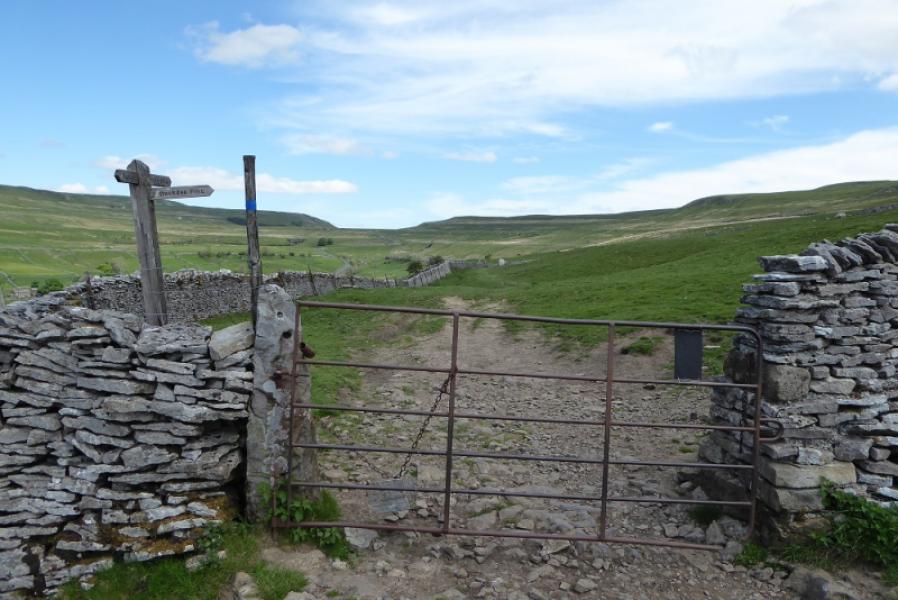
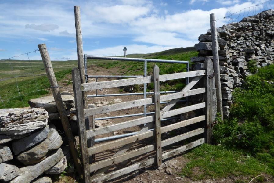
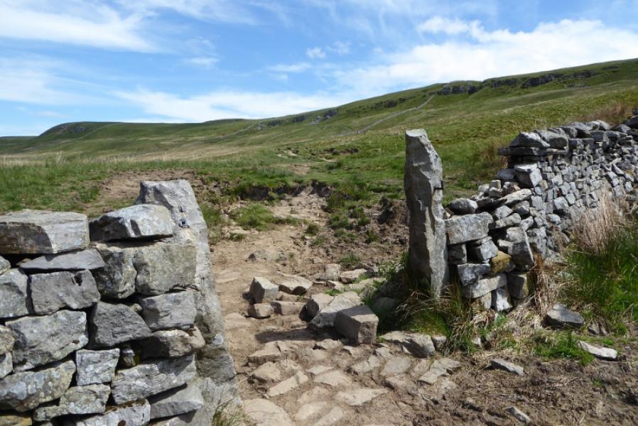
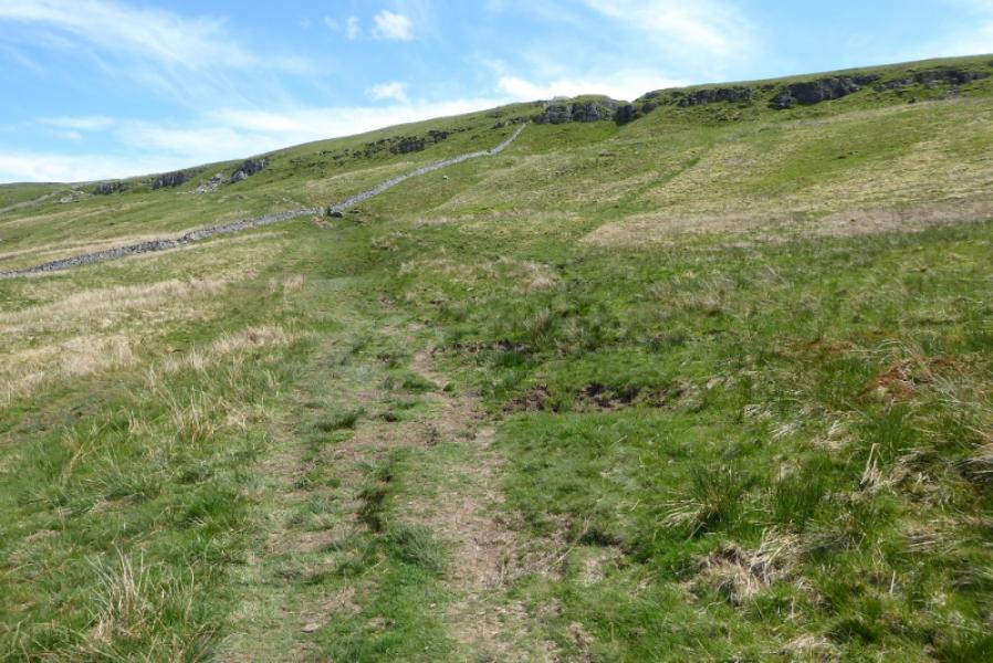
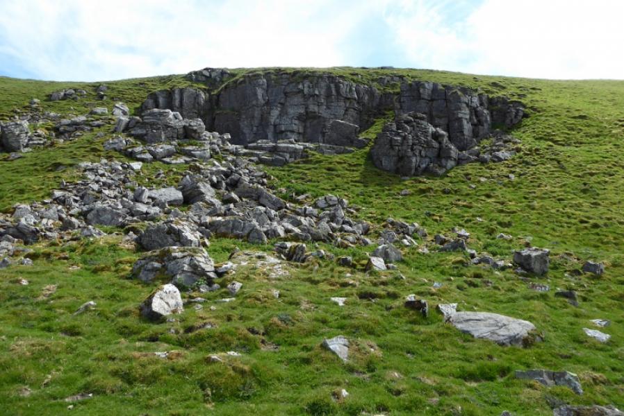
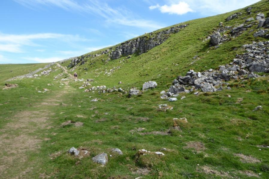
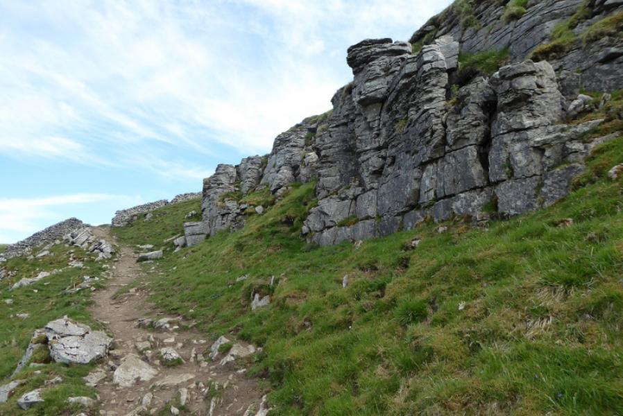
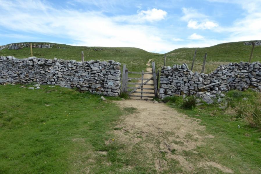
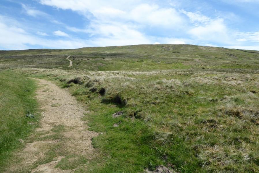
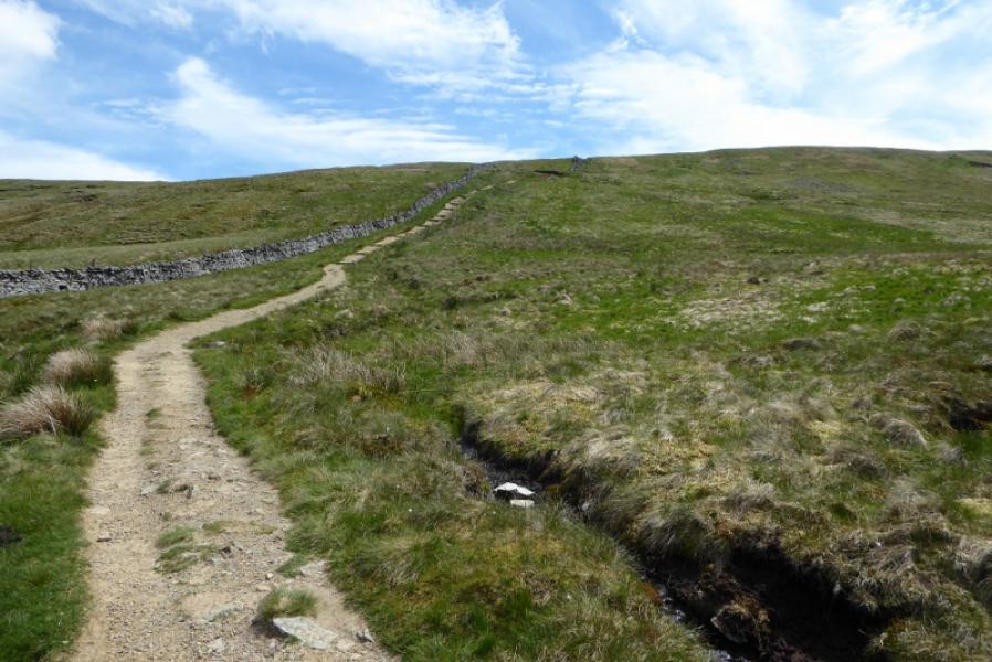
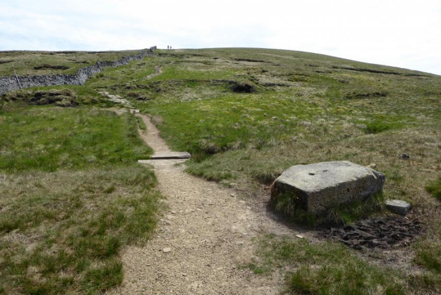
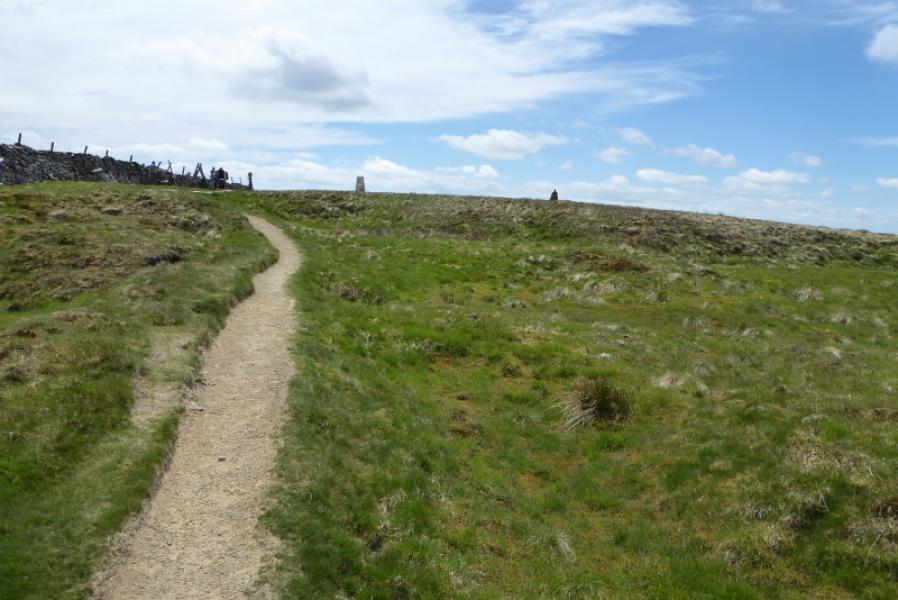
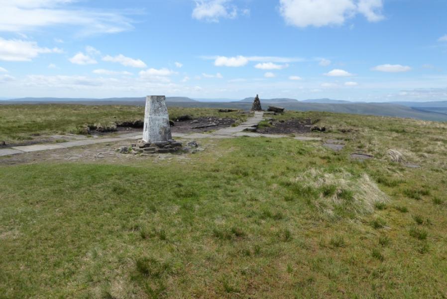
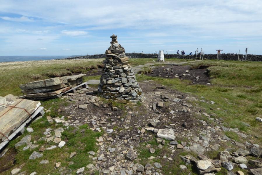
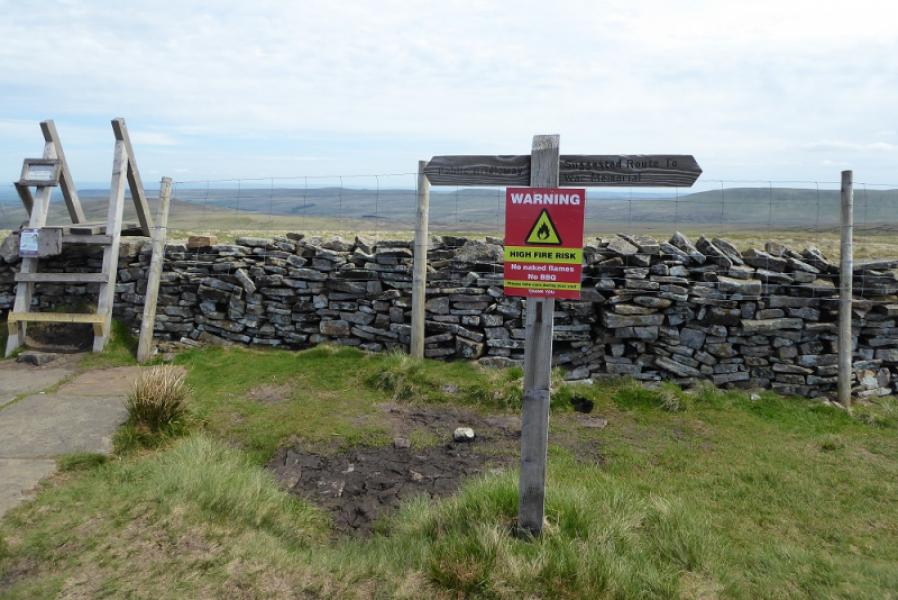
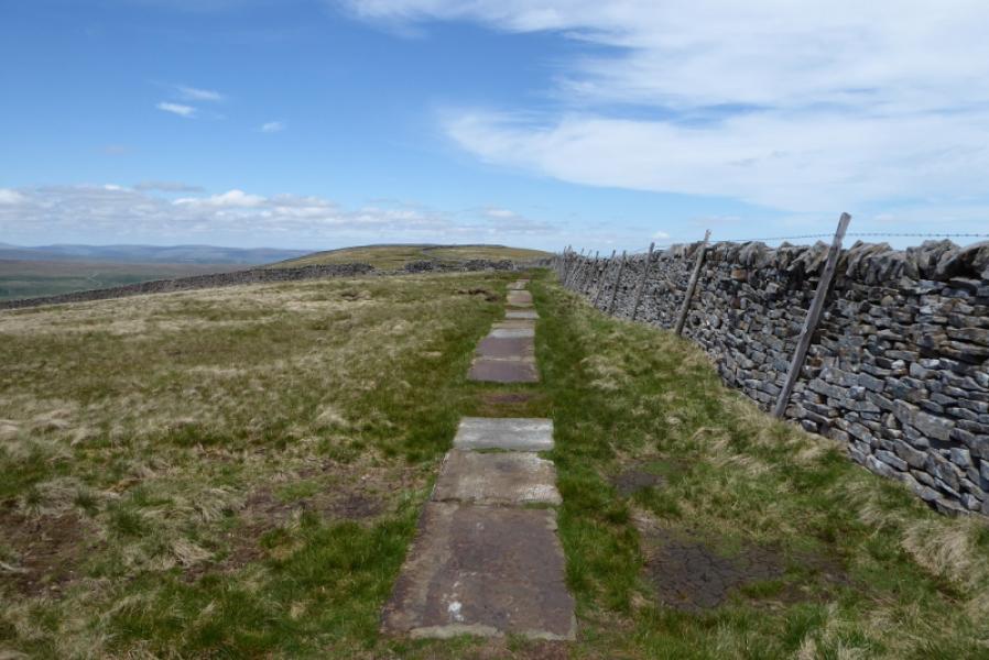
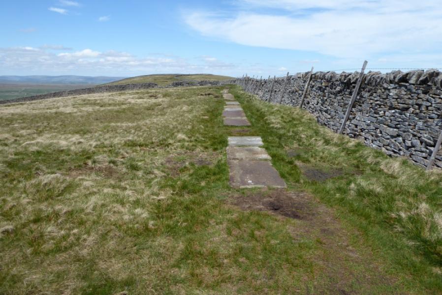
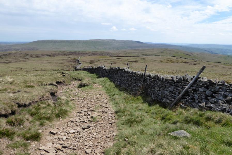
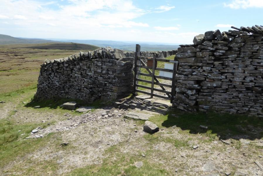
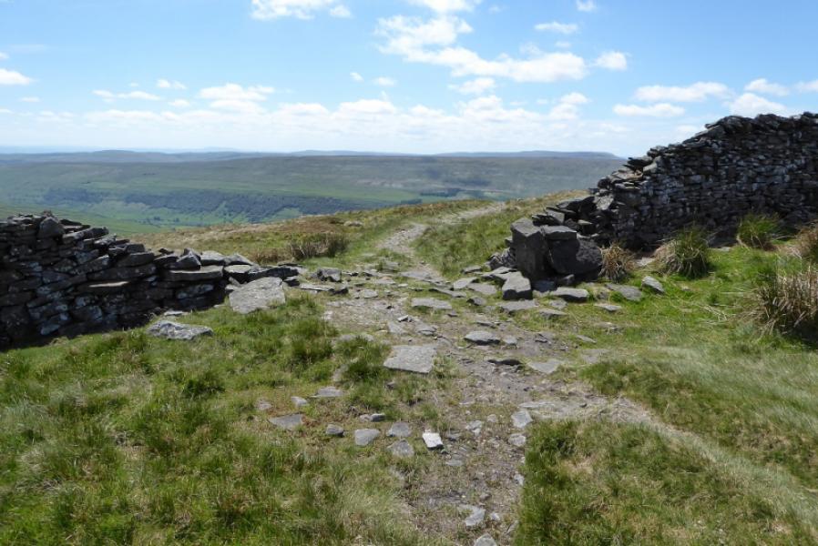
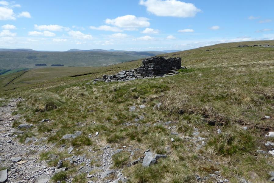
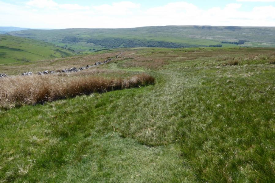
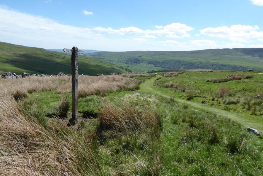
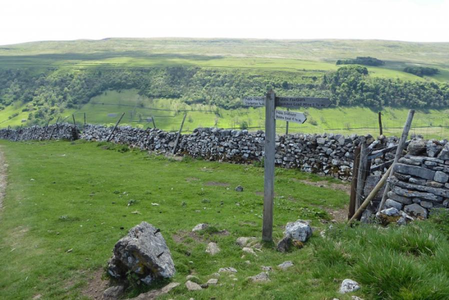
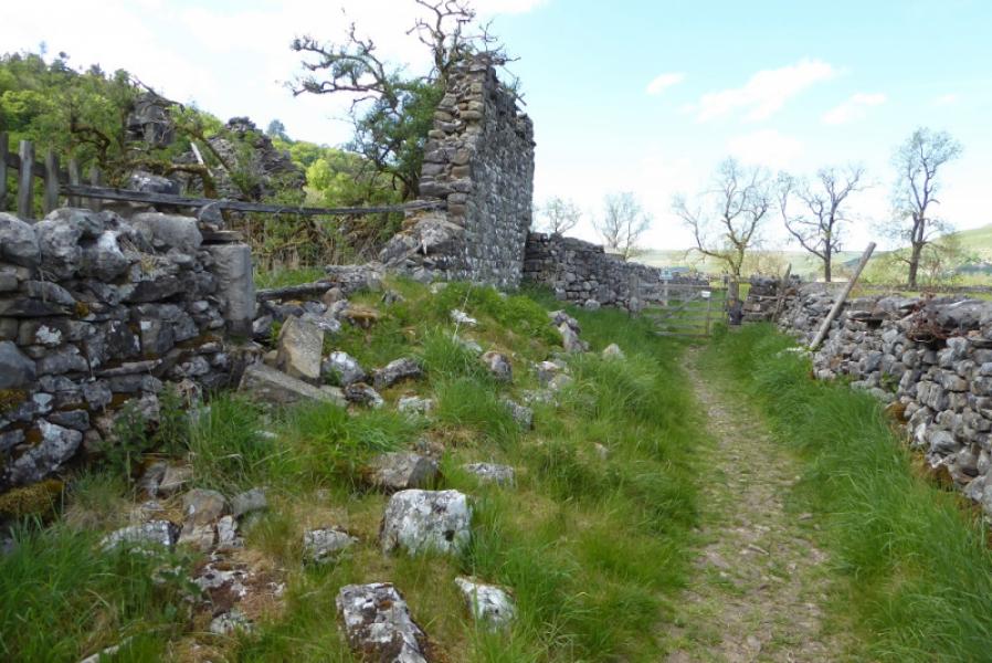
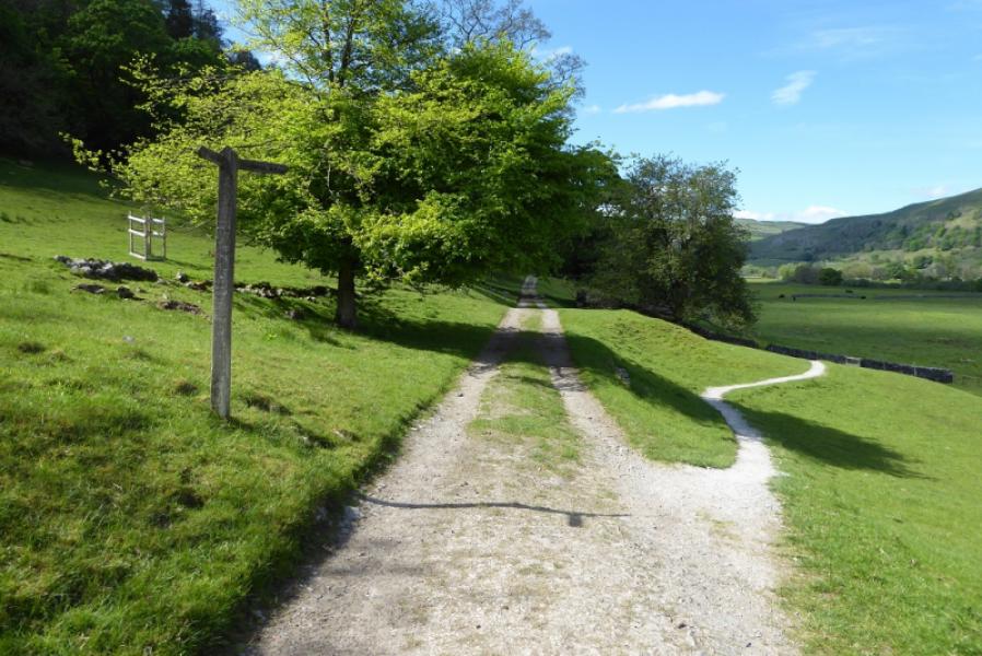
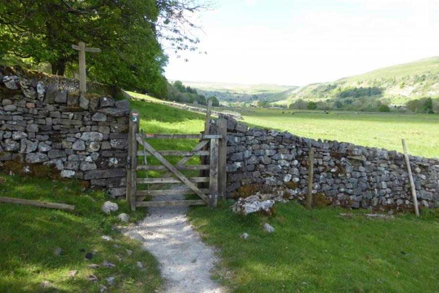
(1) Walk out of the north end of the car park and follow the obvious track up towards a small wood. Follow this track up and up until it starts to level off. Further on, it looks like this track forks right but don't go that way. Continue, along the wall, to a gate, pass through then go right (signpost). This is the least well defined path on the ascent but gradually slanting left and upwards will take you to a gate, after which the path is much more obvious. Continue, passing below some small cliffs before going right onto an engineered path which climbs up and up before, eventually, you see the summit trig point when about 100 m from it. There is a cairn about 30 m to the west which may be slightly higher so visit both for the summit of Buckden Pike, 702 m.
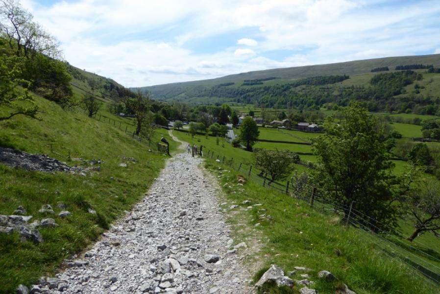
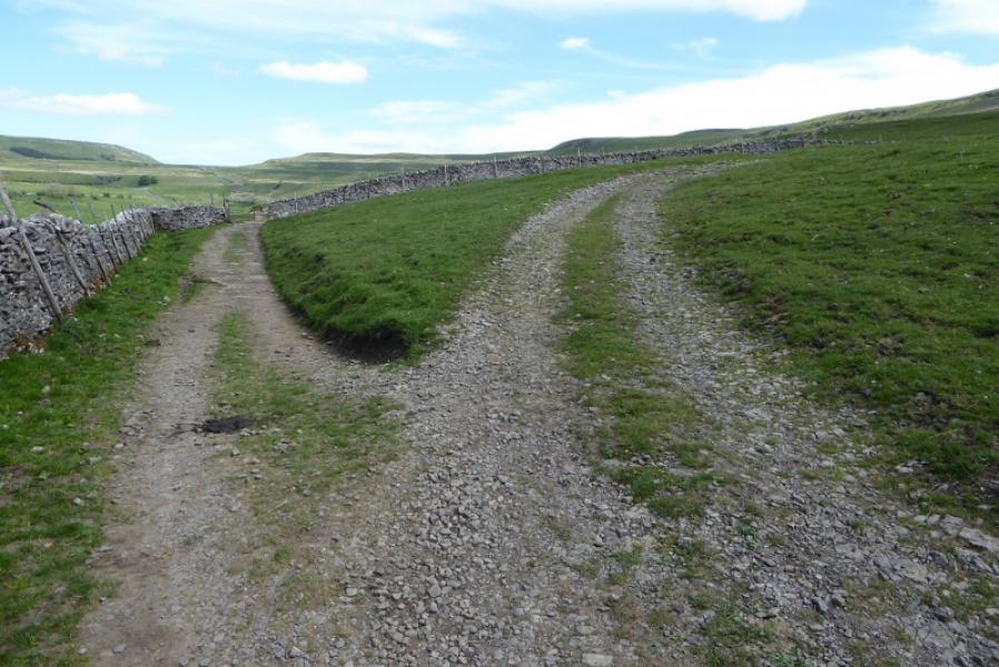
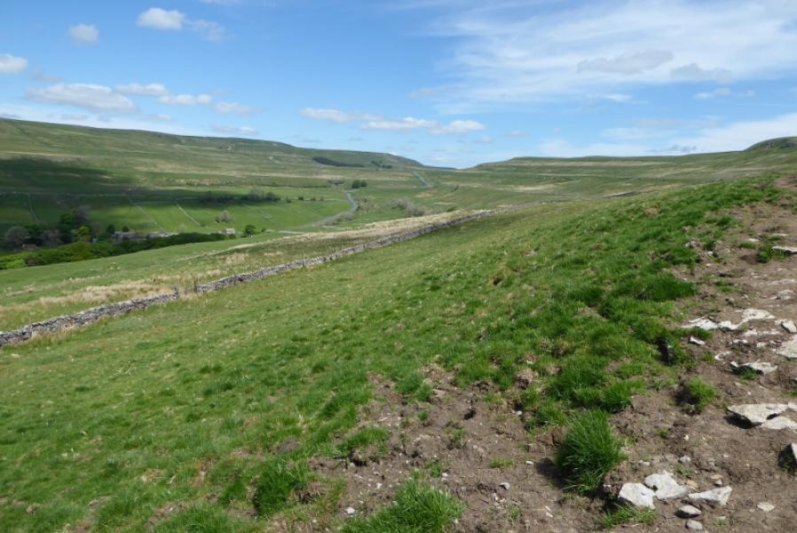
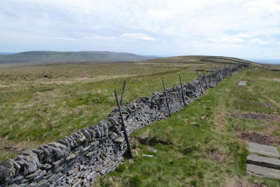
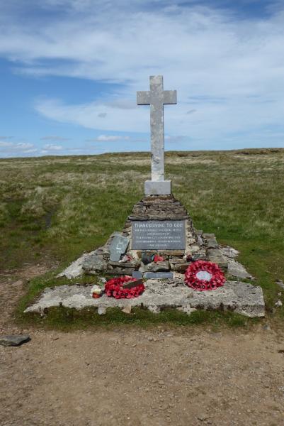
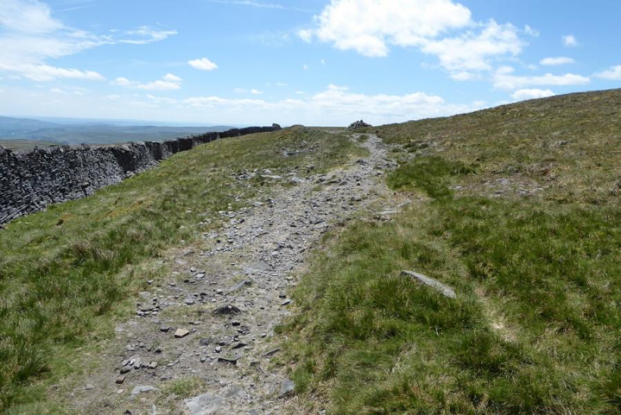
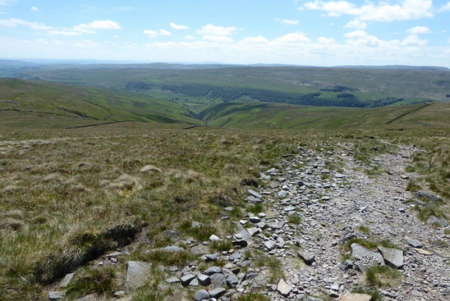
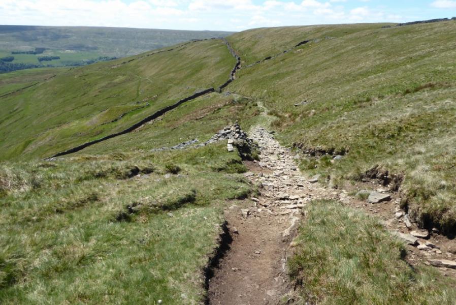
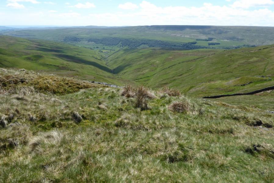
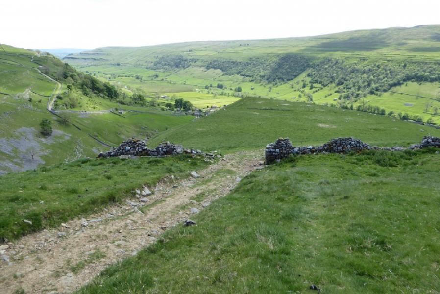
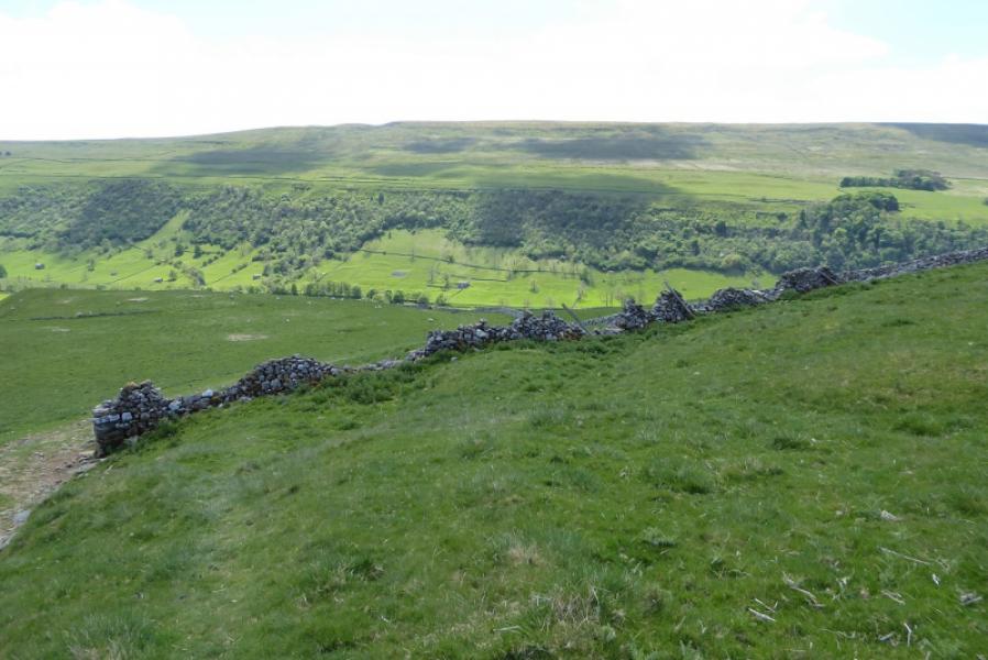
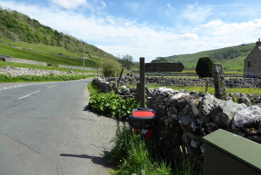
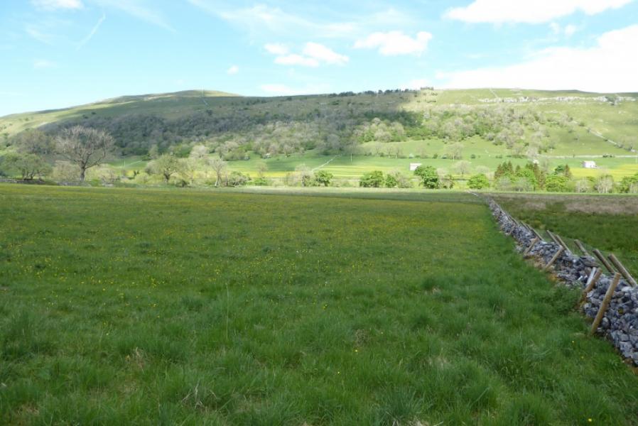
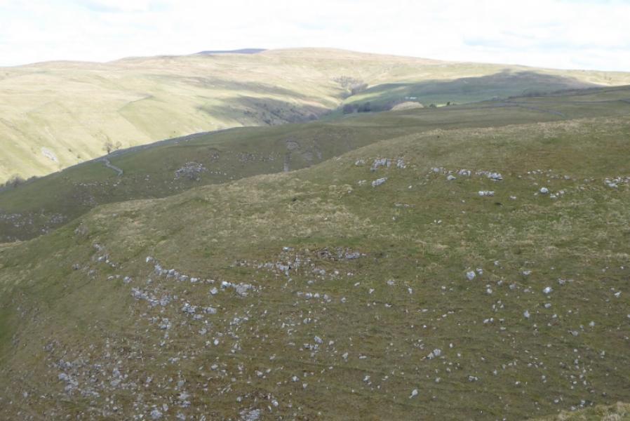
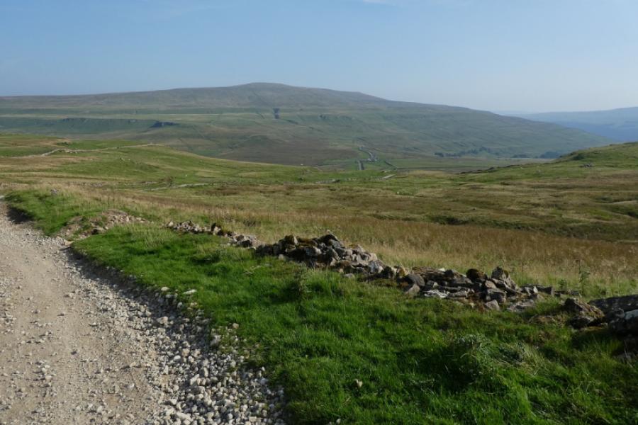
(2) Follow the wall, without crossing it, south along the crest. The path is slabbed in places. Reach a wall corner and cross the wall by a stile to reach the memorial cross to some Polish airmen killed during World War II. Follow a different wall, roughly SE, down peaty and boggy ground, until a gate is reached just before a corner. Go through the gate onto an obvious path with a cairn soon after. Follow this path as it traverses around the top of a huge grassy gully before continuing down its western side. Starbotton is at the bottom of this gully and will be seen in clear weather. The path is easy to follow apart from in a few places where it is wild moorland for short distances but navigation shouldn't be a problem. Lower down, the path becomes a track. The final section, down into Starbotton, is a conctret track but quite steep so be careful especially in icy conditions. Reach Starbotton village on a minor road and cross a bridge. Take the next right which brings you out on the B6160 by the village pub.
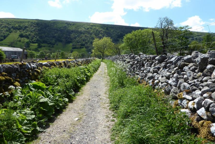
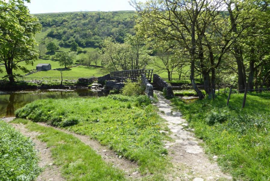
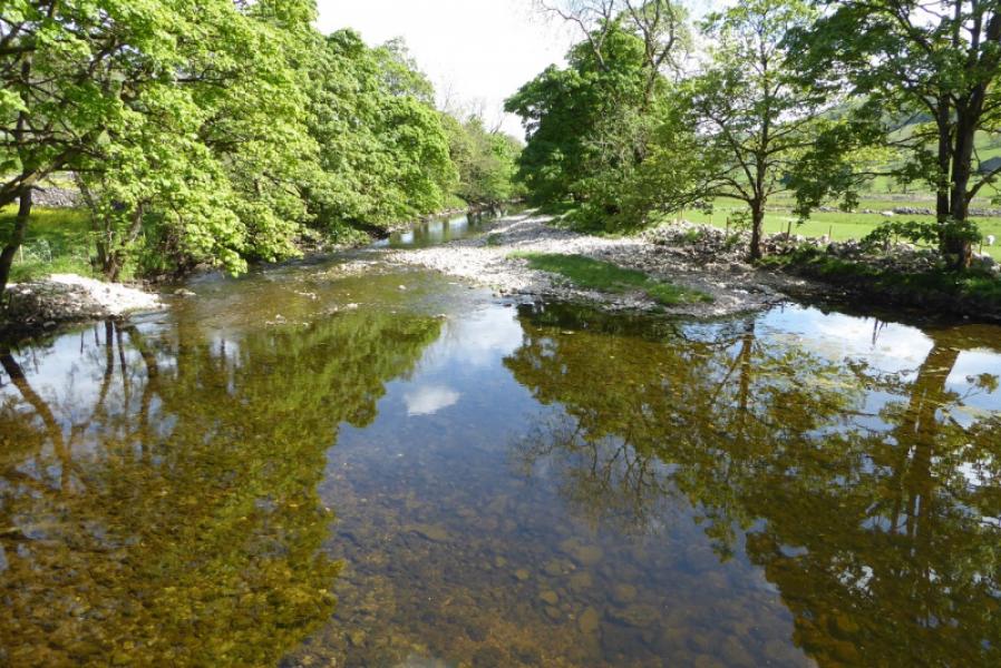
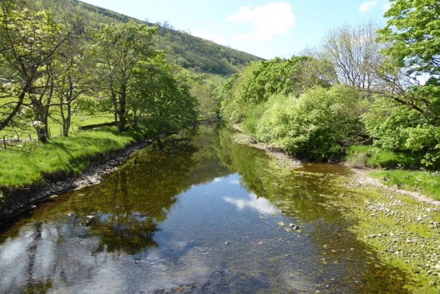
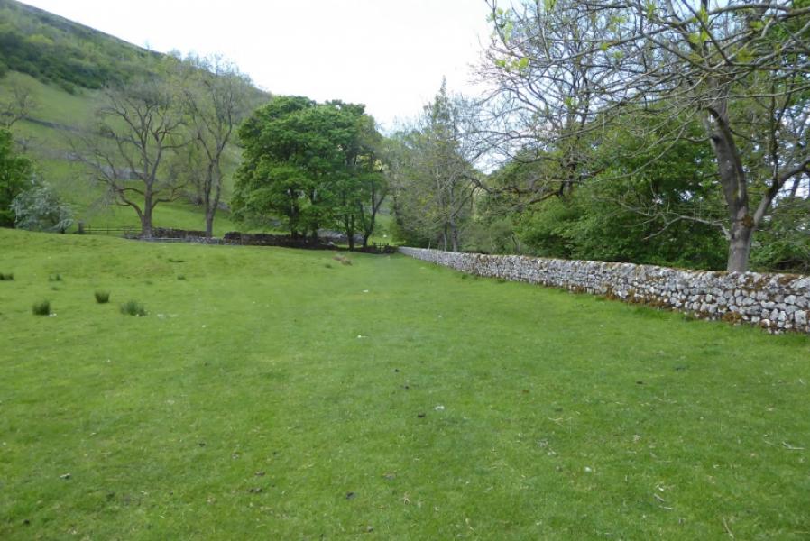
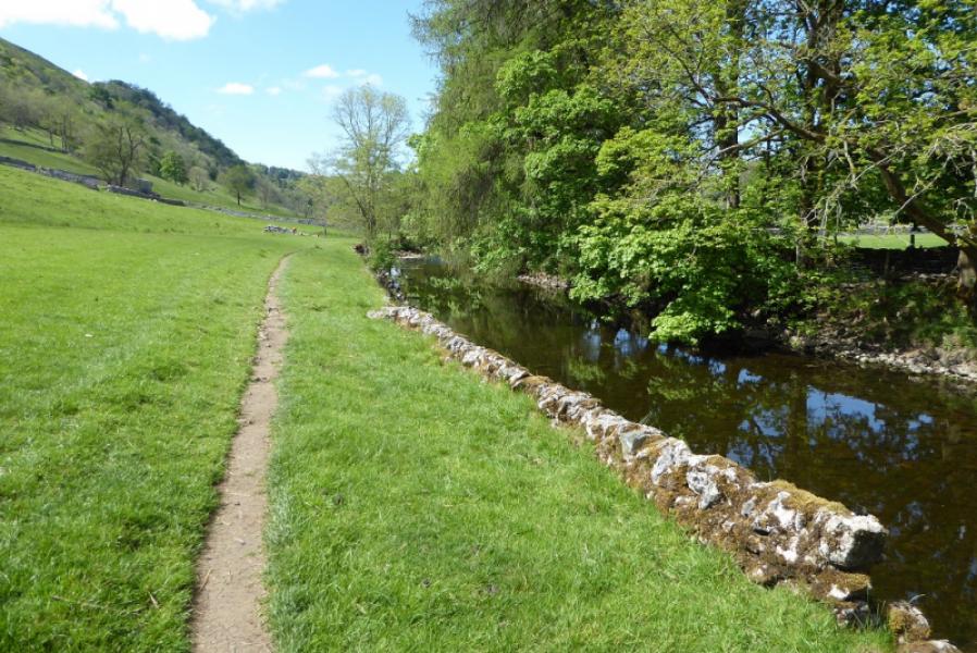
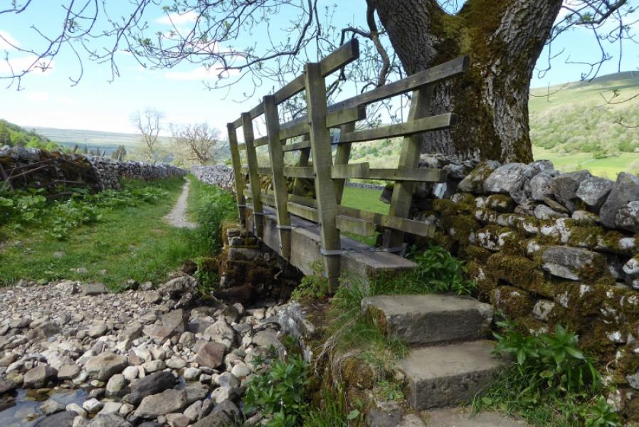
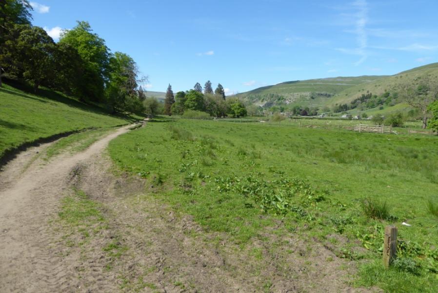
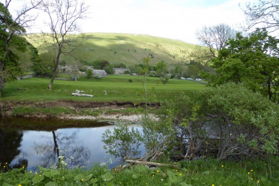
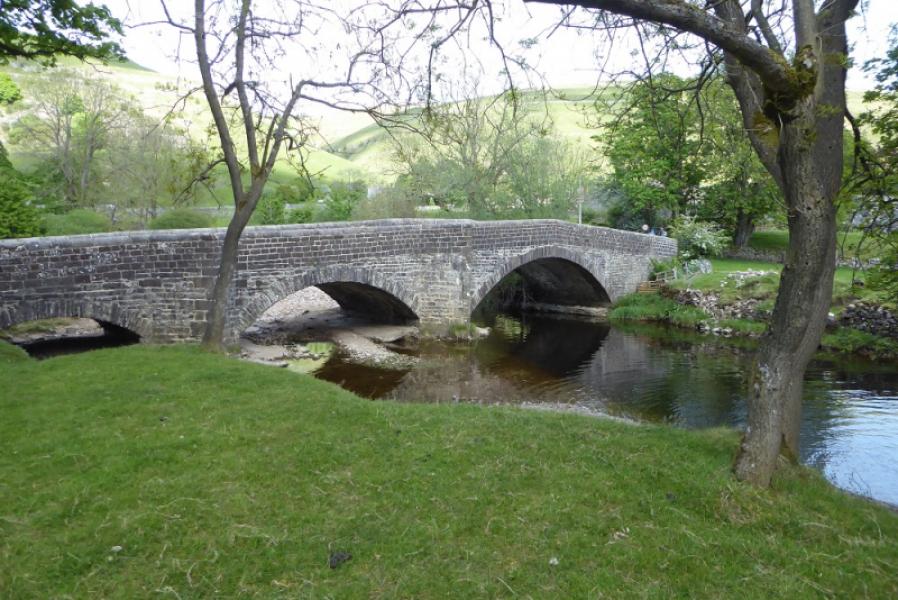
(3) Turn left, S, and follow the road past the phone box. At the end of the village, look for a sign post on the right. Take this path which is like a narrow gravel track between two walls. Follow it to a footbridge over the River Wharfe. Cross over and turn right, N and upstream. Follow the obvious path, mainly by the side of the river. Further on, the path becomes a good track and the river starts to swing away. Leave the track at a signpost (Dales Way) and soon rejoin the river. Follow the path to join the Hubberholme road at an arched road bridge. Turn right and walk into Buckden. Go up the left side of the green and soon reach the car park.
Notes
(a) This walk took place on 4th June, 2021.
(b)Those wishing to only visit Buckden Pike summit could reverse the descent route and return the same way. This will save about 4 km and about an hour.
Photos - Hover over photo for caption. Click on to enlarge. Click on again to reduce.