Get Lost Mountaineering
You are here: England » Yorkshire Dales » Western Area
Great Douk Cave, Park Fell, Simon Fell & Ingleborough
Great Douk Cave, Park Fell, Simon Fell & Ingleborough
from Chapel le Dale
Start/Finish
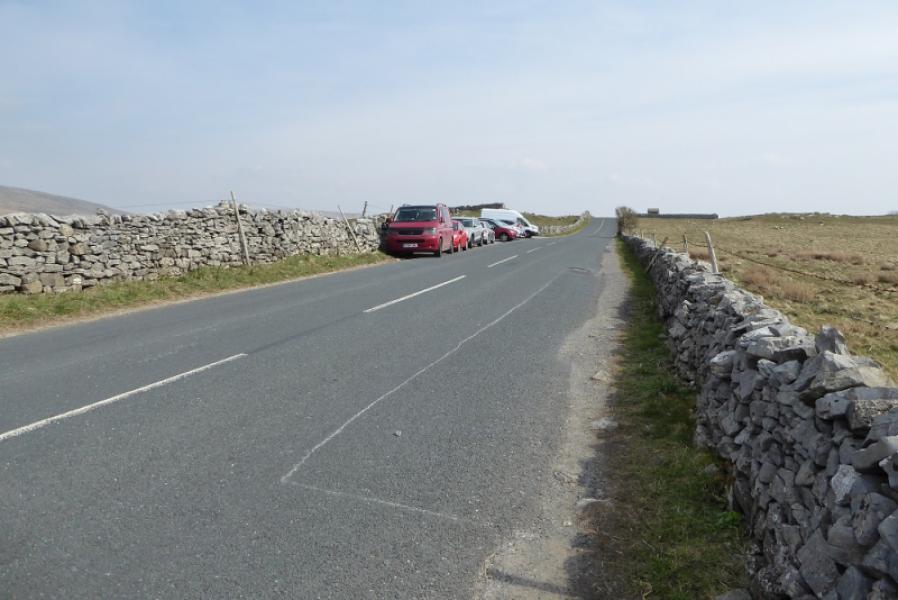
A little NE of the small village of Chapel le Dale on the B6255 between Ingleton and Hawes. In April, 2021, there was no obvious car park probably because the Old Inn was closed due to the lockdown. This may change in the future. There is a rough layby NE of the Old Inn on the road which, in places, is deep enough for cars to be parked at right angles to the road but it can fill up quickly. Other parking places are quite limited but there are a few places nearby although it may be difficult to get a car completely off the road. If coming from Hawes go past Ribblehead for about a mile to reach the layby.
Distance/Time
11 km. About 5 hours.
Peaks
Park Fell, 563 m, SD 763 769
Simon Fell (highest point), 650 m, SD 754 752.
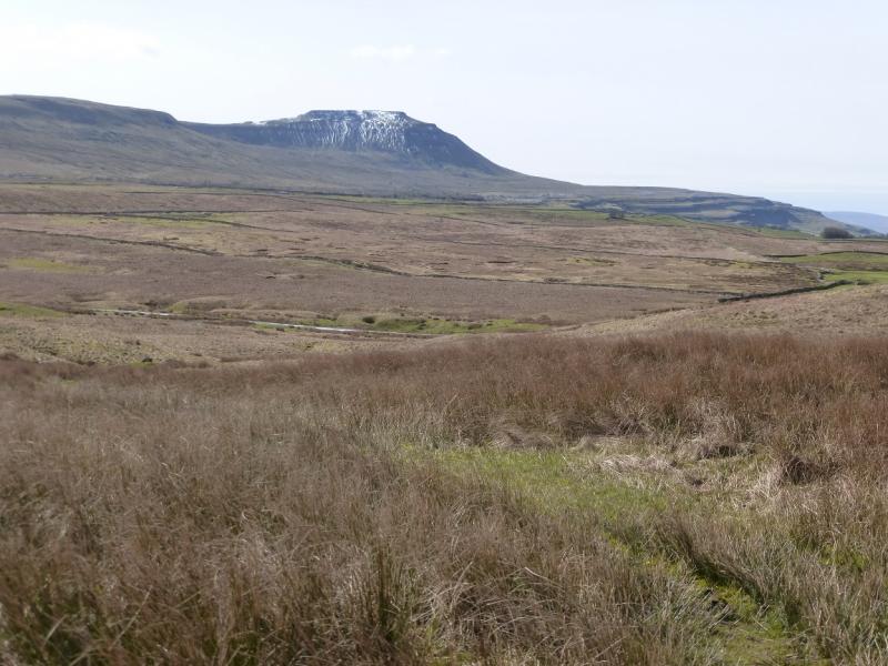
Ingleborough, 724 m, SD 741 746. OL2 Yorkshire Dales: Western Area
Introduction
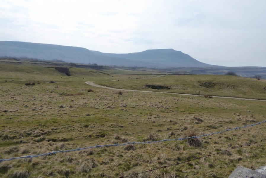
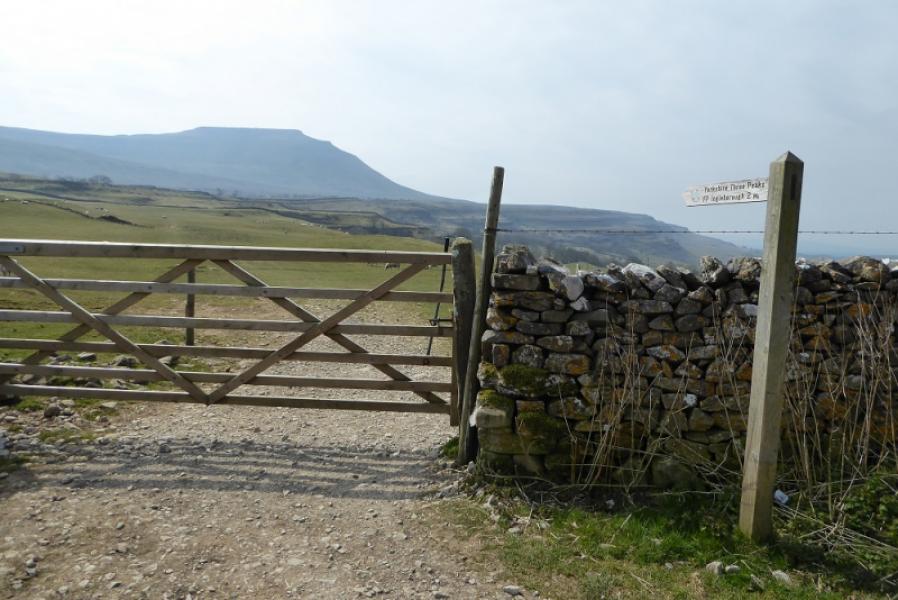
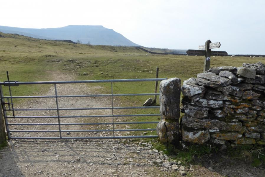
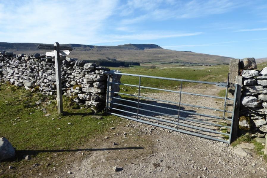
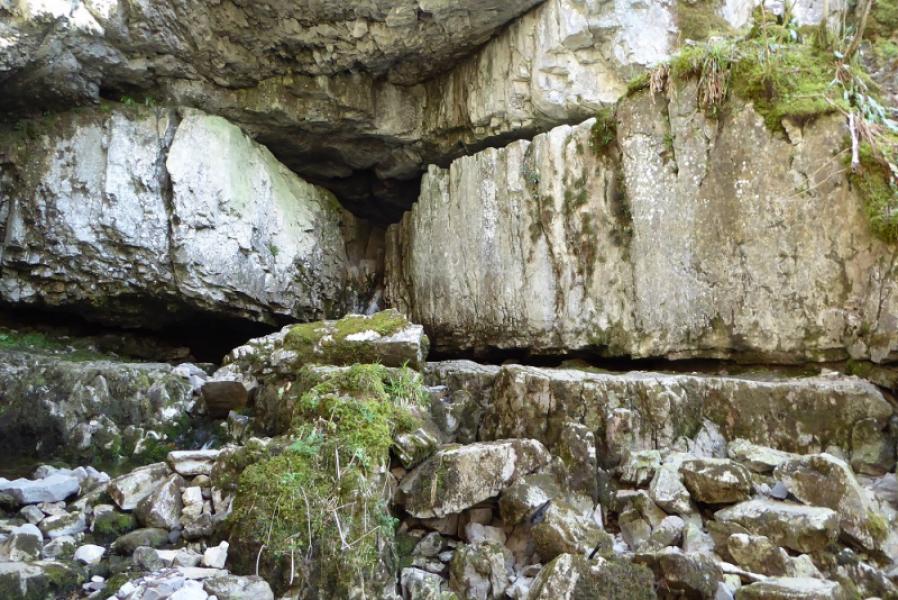
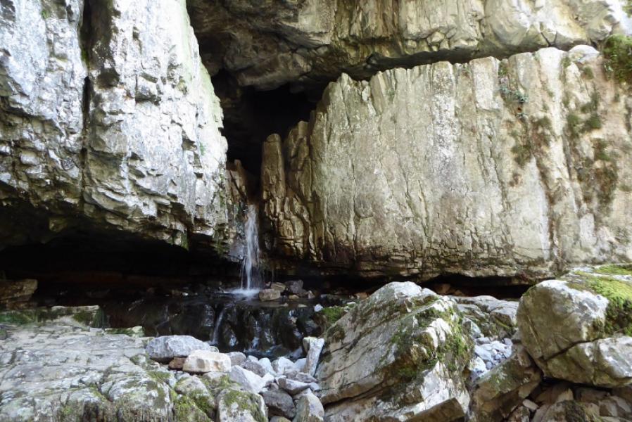
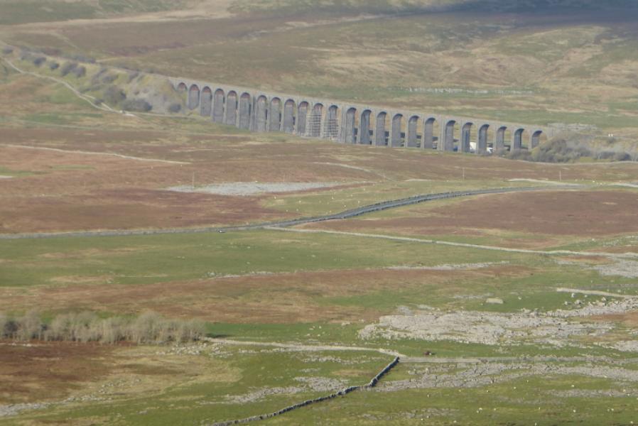
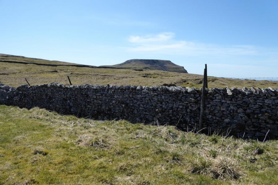
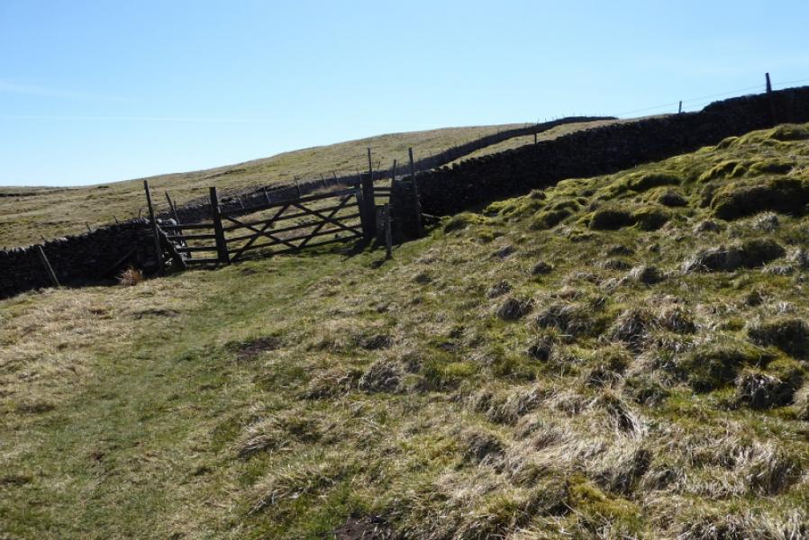
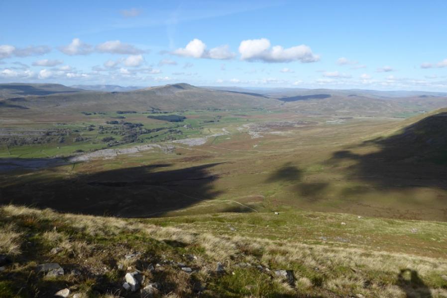
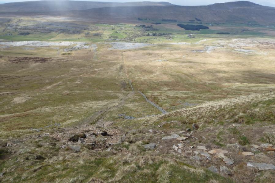
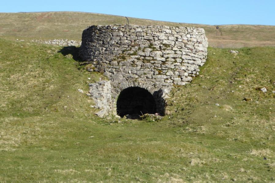
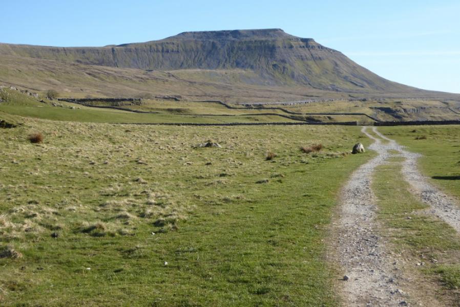
Ingleborough is one of the famous “3 Peaks” with Pen-y-Ghent and Whernside being the other two. This is a fairly straightforward route although there is a moderately steep ascent onto Park fell and a similar descent, using the 2020 diverted path, off Ingleborough. Both these may be quite slippery in wet or wintry conditions. There are excellent views to Whernside, Ribblehead Viaduct and Pen-y-Ghent on this walk. Great Douk Cave, passed twice, is a cave opening in a deep hole and the opening is quite easy to reach for the average walker. There is a locked gate on this route but it can easily be climbed over.
Route
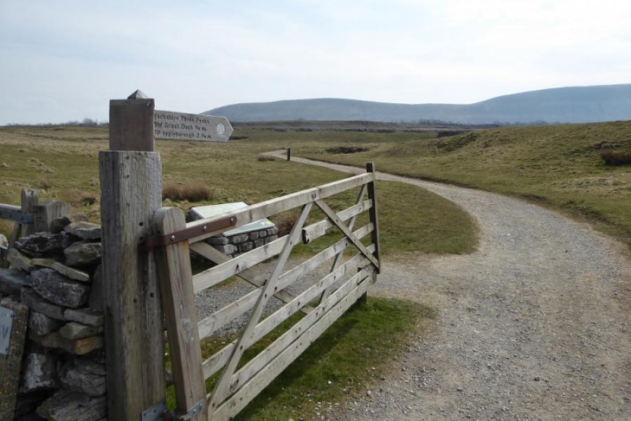
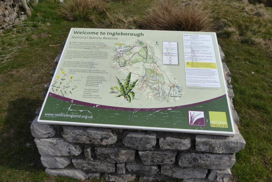
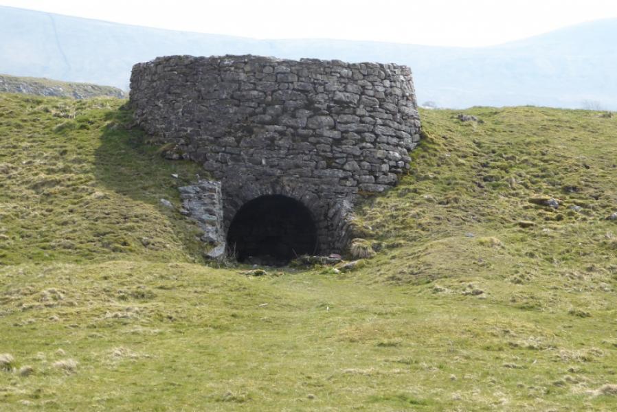
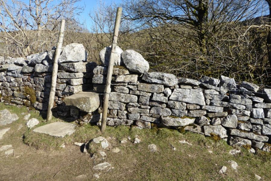
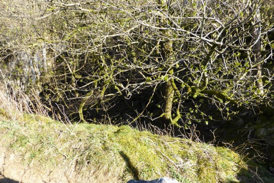
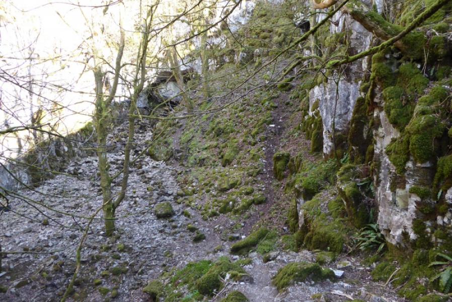
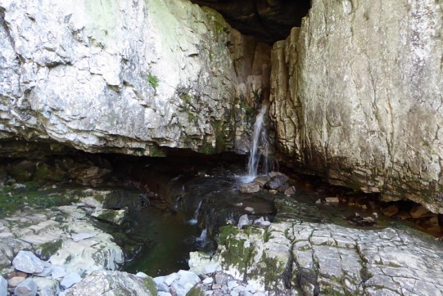
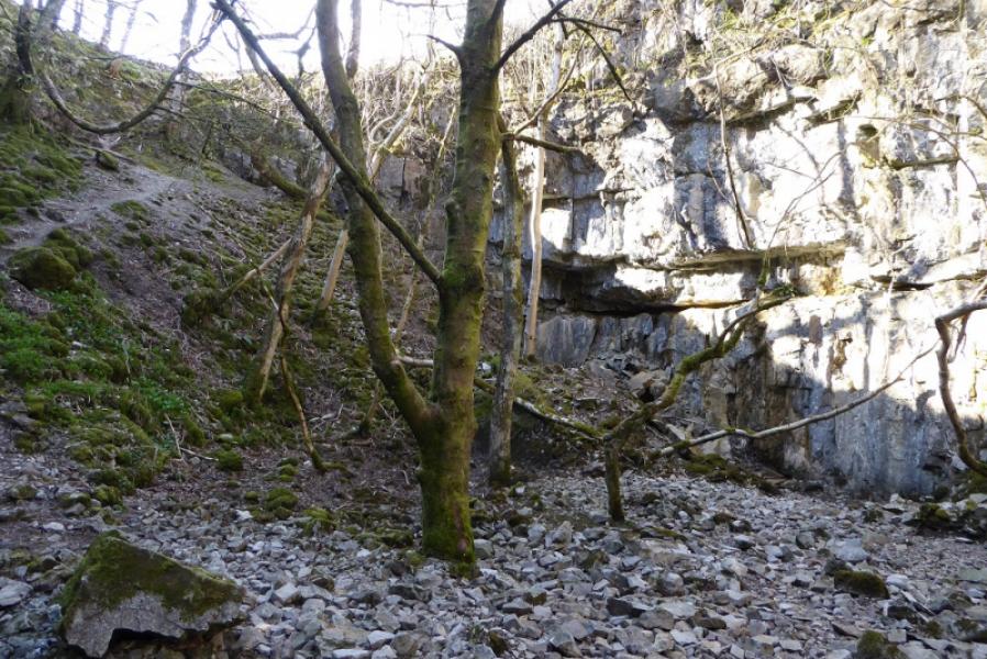
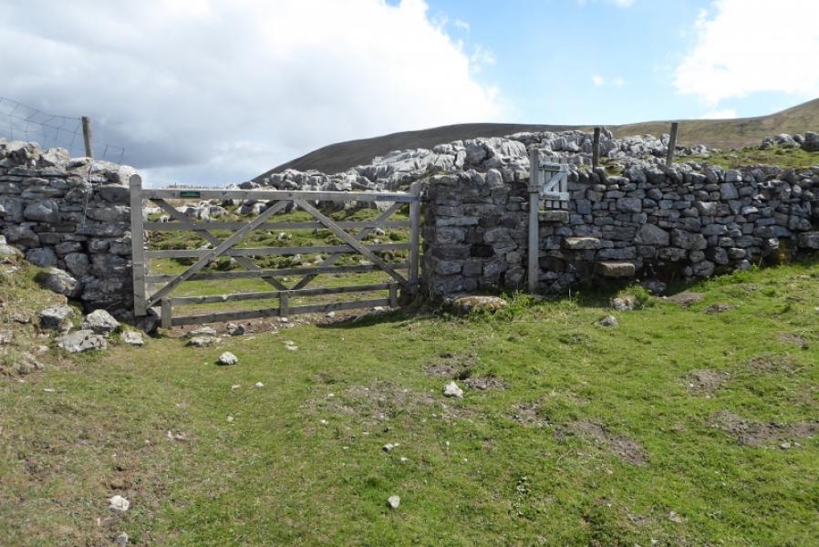
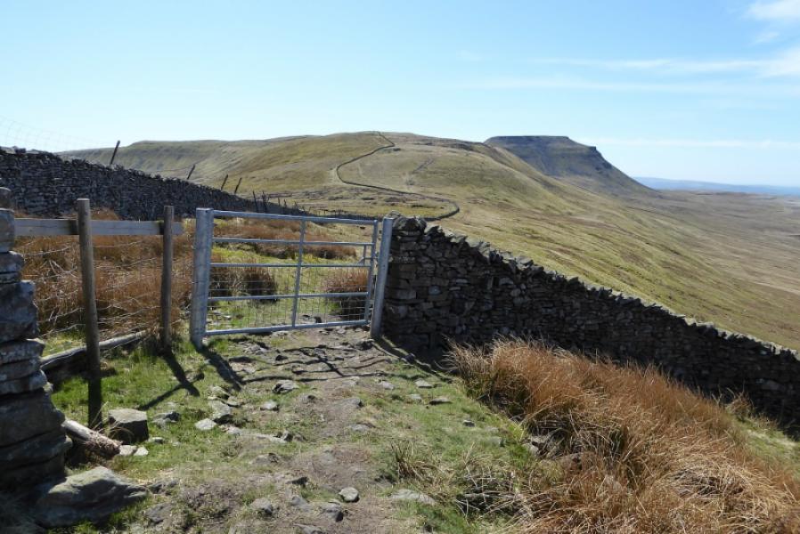
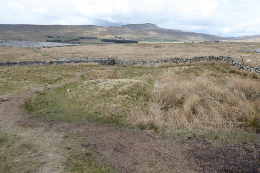
(1) From the layby, walk back towards Chapel le Dale. A very obvious track starts by a stone hut with an information board soon after its start. Follow the track, initially east but soon turns south. Pass an old lime kiln, on the left, and continue to go through a gate. At the next gate, there is a signpost which is signed for Great Douk Cave (left). The cave is in the clump of trees about 400 m away which should be visible from the signpots. Follow a grassy track to the wall around the large hole in which the cave sits. Cross the wall by a stone stile and follow a steepish path down into the hole to reach the cave opening. It isn't a “walk in” cave so be careful about squeezing through any gaps if you wish to explore the interior, at your own risk, in case you get stuck!
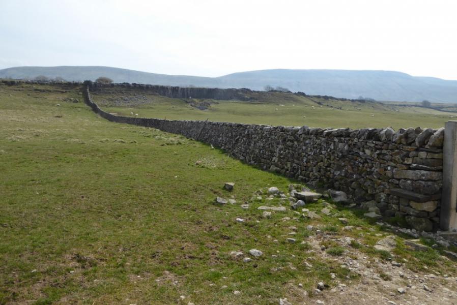
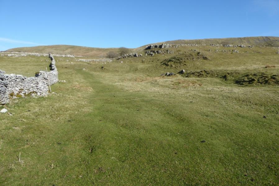
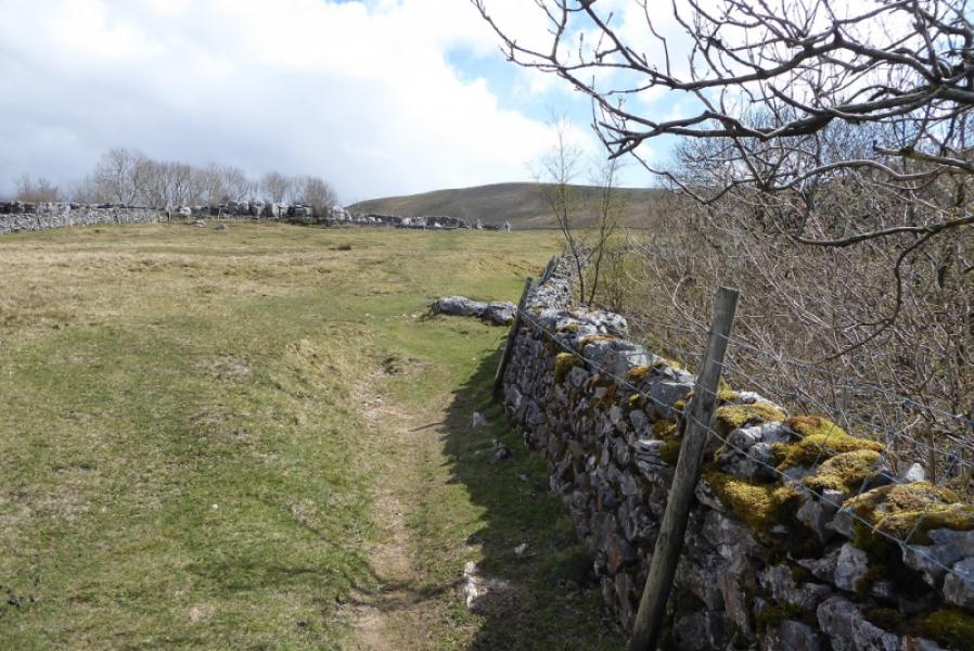
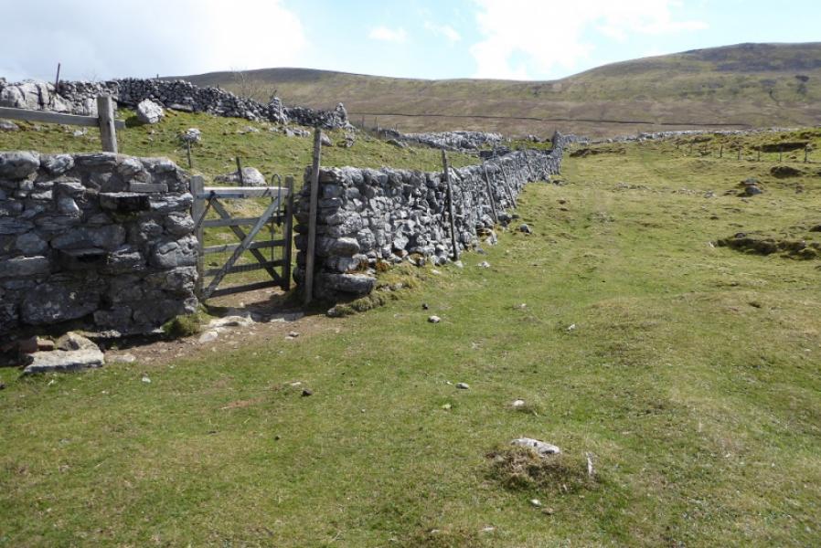
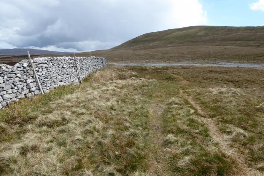
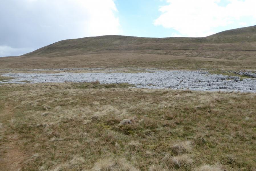
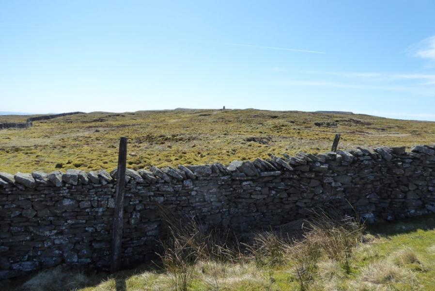
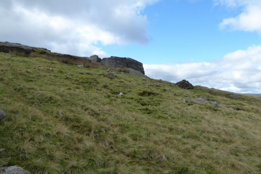
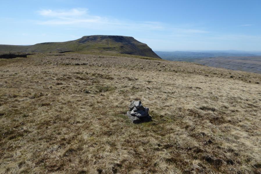
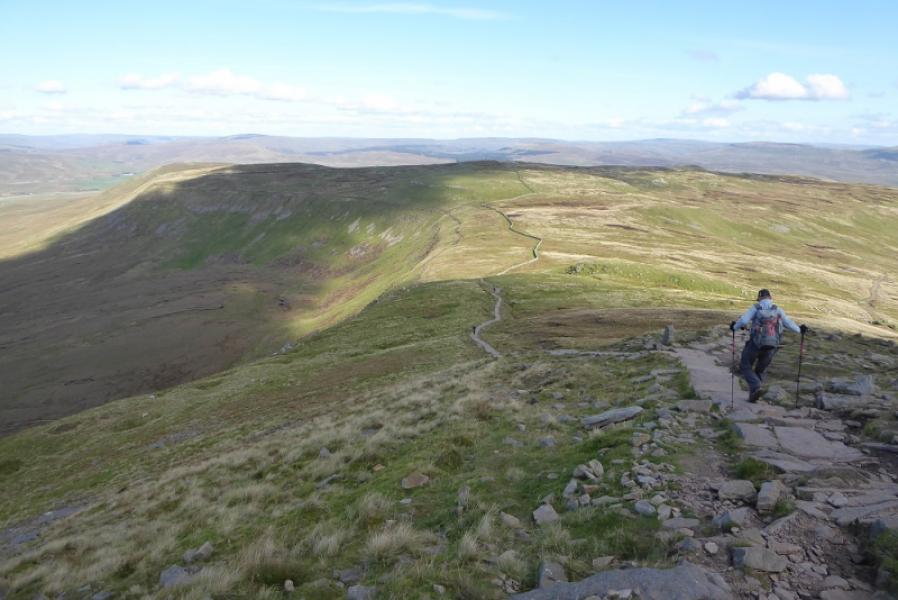
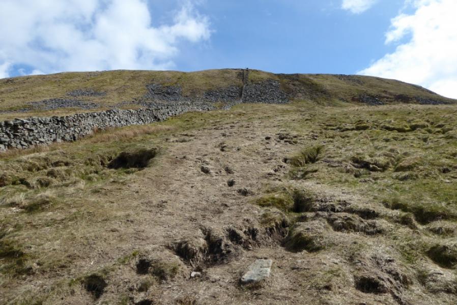
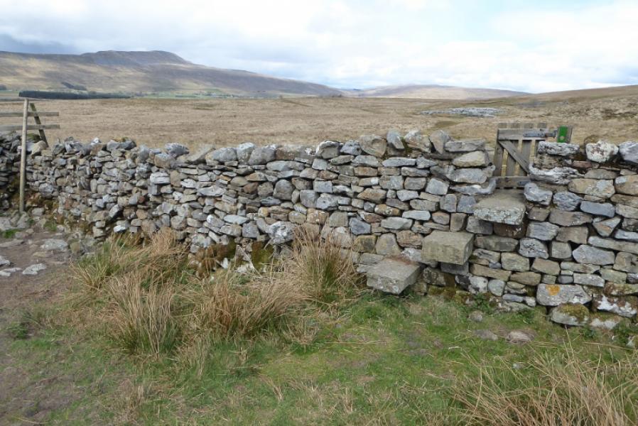
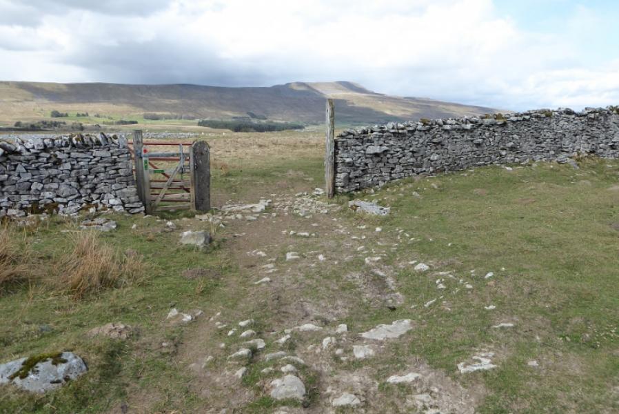
(2) Retrace back to the stile then follow a continuation of the track, drifting left, to reach a gate in a wall. Pass through then turn right and continue to reach another wall with a large gate and stile; you will be walking just under the edge of a limestone pavement which can be explored if you wish. Cross the stile and follow the wall going roughly NE (and level); there is a faint path. Reach a corner where there is gate on the right, often locked, to gain access to the other, NE side, of the wall where there is a grassy track going uphill by the wall. Follow the track by the wall; it steepens higher up and becomes faint in places. It is possible to wander around to ease the gradient. Reach the top of the wall by a gate where it joins a wall almost on the crest of Park Fell. Unfortunately, there is no stile or gate to cross the crest wall so turn left, NE, and follow the wall to where it meets another wall just to the N of the trig point. Go through a gate and soon reach the trig point which is the summit of Park Fell, 563 m.
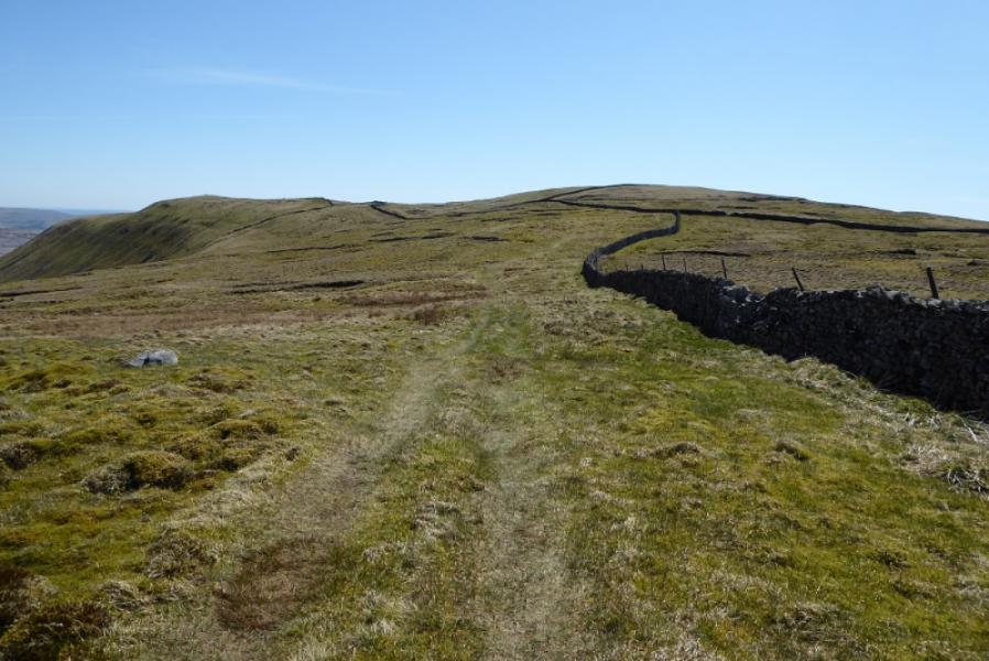
(3) Continue ahead, soon descending gradually over ground which can often be wet and with a wall some way off to the right. The path crosses a shallow, grassy, wet col before picking its way up the N ridge of Simon Fell on a fairly obvious path which is often close to the wall. Pass a large outcrop, on the other side of the wall, which is Black Rock. Continue up, following the wall. If it is clear, note that you are not heading for the obvious cairn which the wall continues to. Reach a stile by a gate, after which follow a path by a wall leaving the one you have been following up Simon Fell. Follow the path and wall up to the highest point where a tiny cairn marks the summit of Simon Fell (highest point), 650 m. If you wish to visit the SW top then cross the first stile and follow the wall to a wide stile to recross the wall and reach the large cairn. Retrace back to the first stile to rejoin the route.
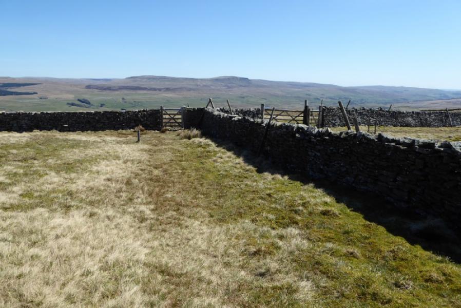
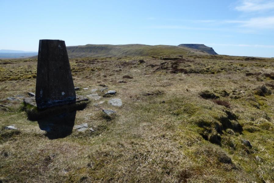
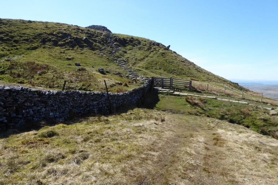
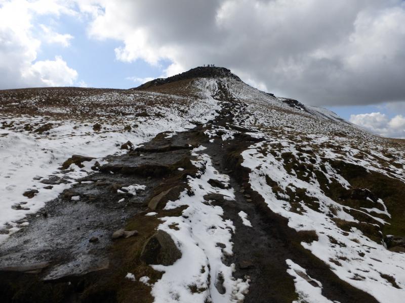
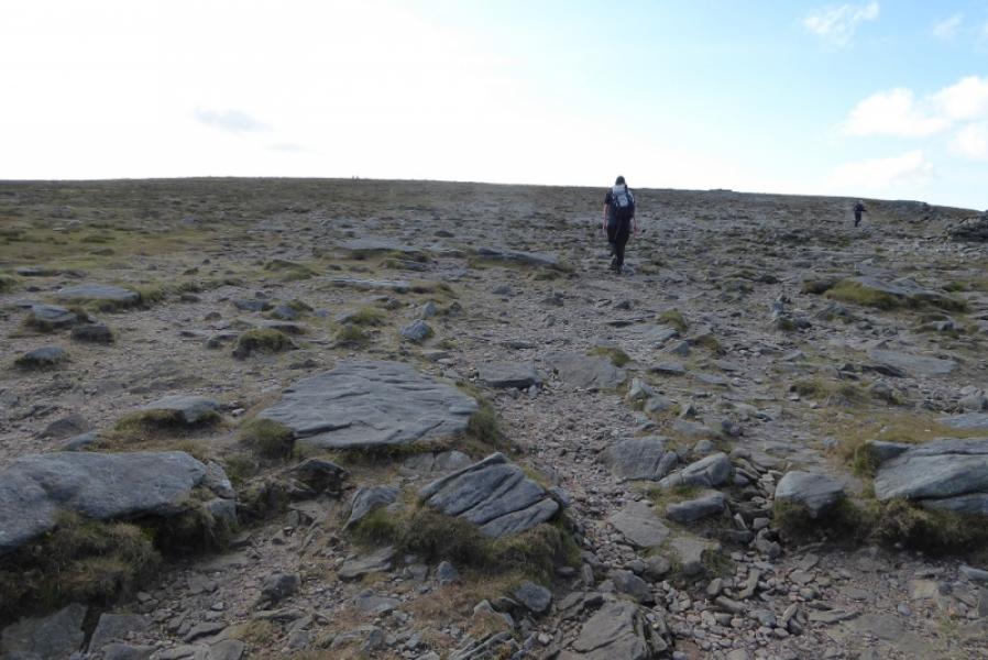
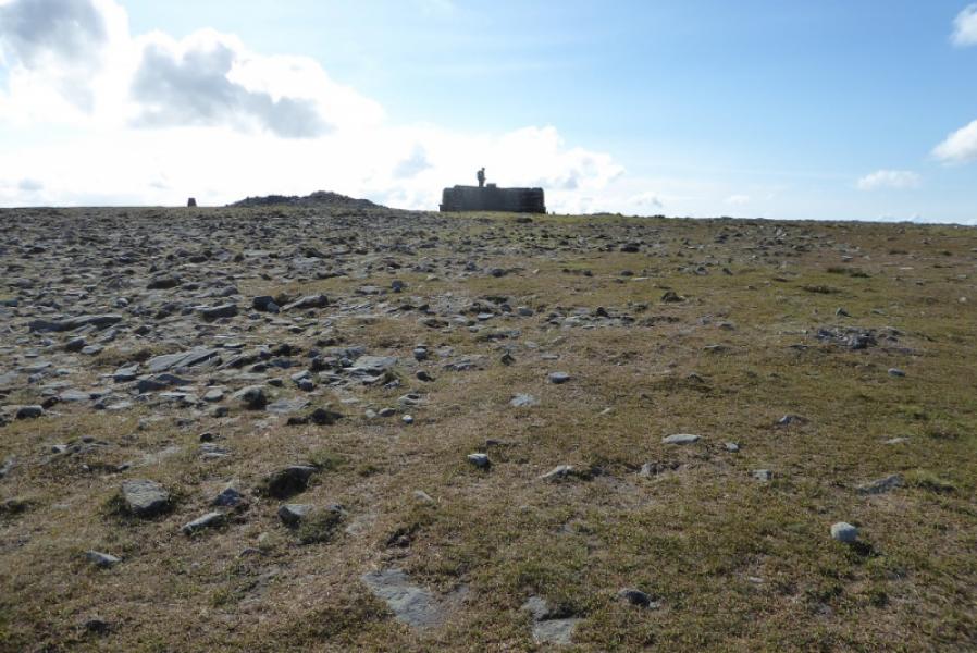
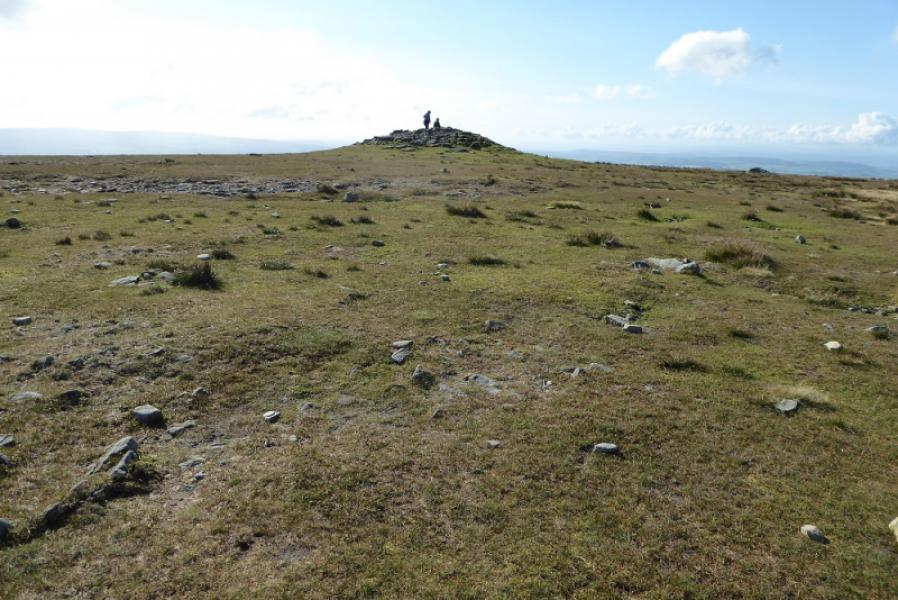
(4) Continue alongside the wall with hardly any descent until the main path from Chapel-le Dale joins in as a reverse right fork. Go through a gate and start ascending the mainly slabbed path up Ingleborough. Higher up, the path from Horton joins as a reverse left fork. Note this as it will be used for the descent. Continue up to reach the eastern end of the extensive stony Ingleborough plateau. Follow the “path” continuation along the edge of the plateau, heading west. In clear weather the summit area will be very obvious but it would have to be very misty not to see it at all however be careful in thick mist. The summit area comprises a cross shelter cairn, a trig point and two mounds of which the most westerly one is the highest point (higher than the trig point) and so is the summit of Ingleborough, 724 m.
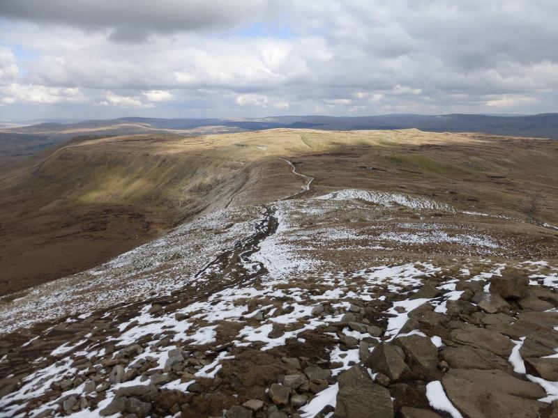
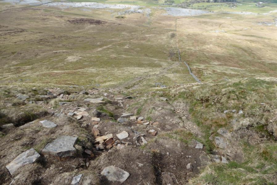
(5) Retrace back to the gate and take the path traversing Simon Fell not the one followed earlier by the wall. Soon cross a stream where the 3 Peaks path goes down towards Chapel-le-Dale. Continue, almost level, on the obvious traverse path, to reach the next wall which has a stone stile. Just before this wall, take the path going downhill; this was used as diversion when the main path was being repaired in 2020. The descent is moderately steep and can be slippery when wet but easier ground is soon reached. Continue with the wall on your right until a corner is reached with stiles over both walls. Cross the wall you have been following down from the crest and follow a diagonal grassy path to a gate then continue in the same direction, aiming for the clump of trees at Great Douk Cave. Once at the wall around the cave, pick up the track used much earlier and head back to the main path and hence back to the start.
Notes
(a) This walk took place in April, 2021.
Photos - Hover over photo for caption. Click on to enlarge. Click on again to reduce.