Get Lost Mountaineering
You are here: England » Yorkshire Dales » Western Area
Ingleborough from Chapel le Dale by main path returning over Limestone Pavements
Ingleborough from Chapel le Dale by main path returning over Limestone Pavements
Start/Finish
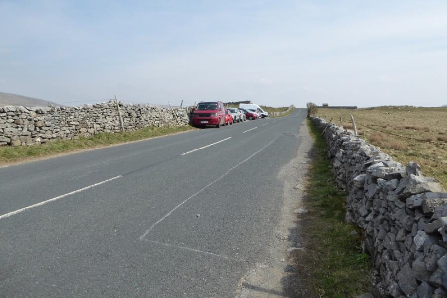
A little NE of the small village of Chapel le Dale on the B6255 between Ingleton and Hawes. In April, 2021, there was no obvious car park probably because the Old Inn was closed due to the lockdown. This may change in the future. There is a rough layby NE of the Old Inn on the road which, in places, is deep enough for cars to be parked at right angles to the road but it can fill up quickly. Other parking places are quite limited but there are a few places nearby although it may be difficult to get a car completely off the road. If coming from Hawes go past Ribblehead for about a mile to reach the layby.
Distance/Time
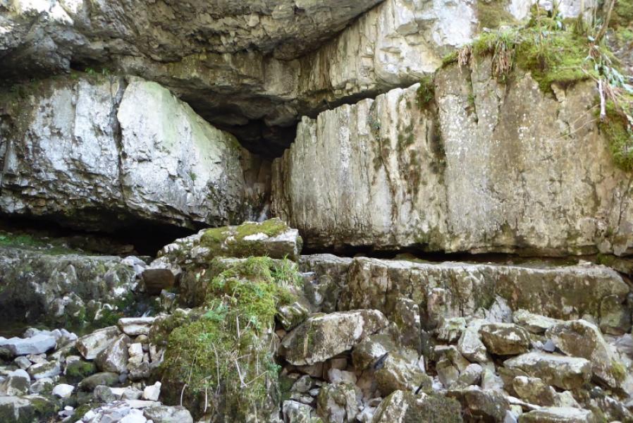
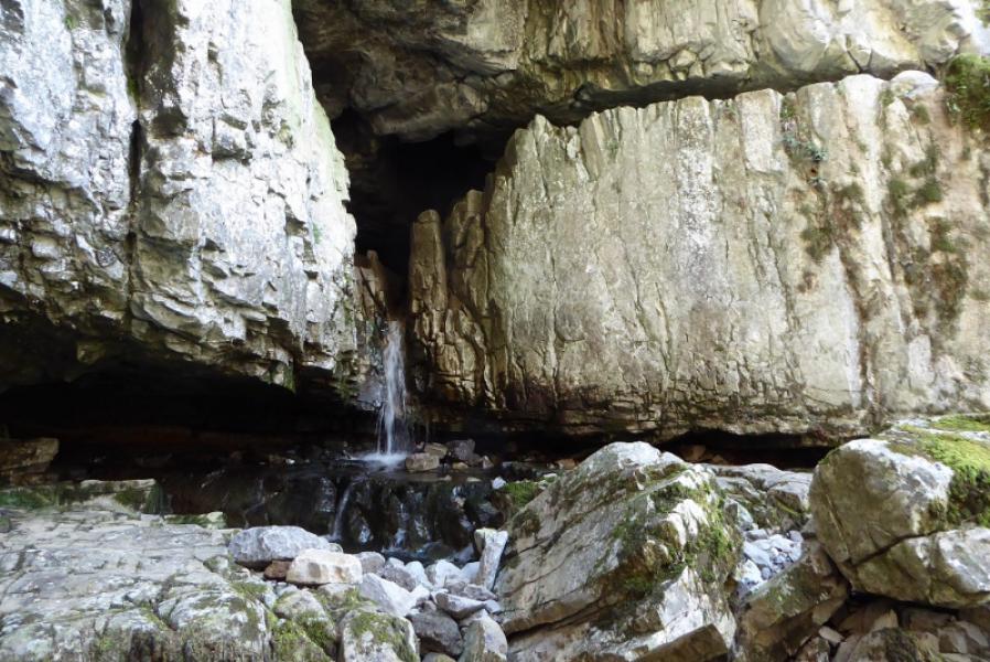
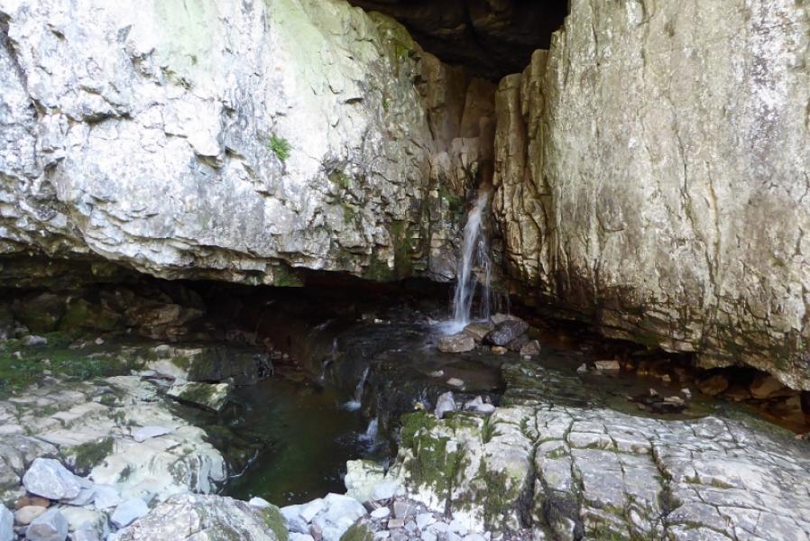
9 km. About 4 hours. Extra 1 km and 30 mins to visit Great Douk Cave.
Peaks
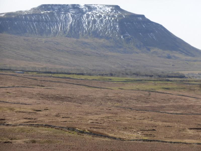
Ingleborough, 724 m, SD 741 746. OL2 Yorkshire Dales: Western Area
Introduction
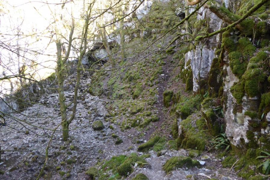
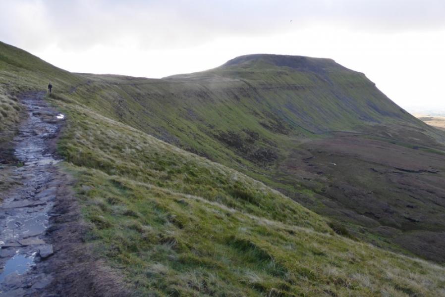
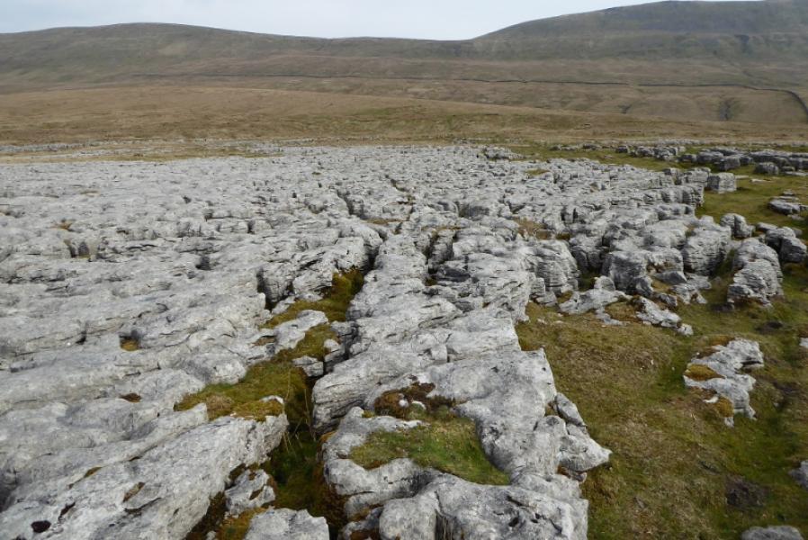
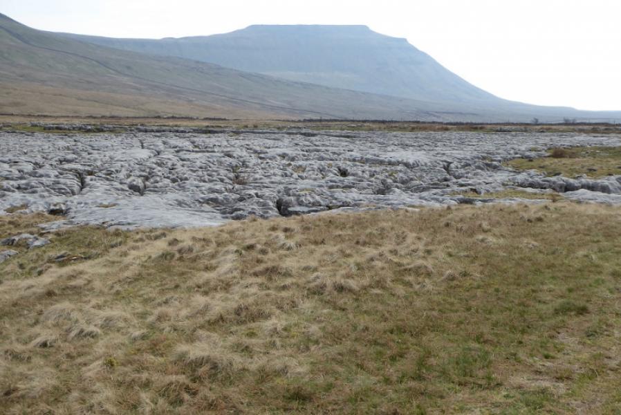
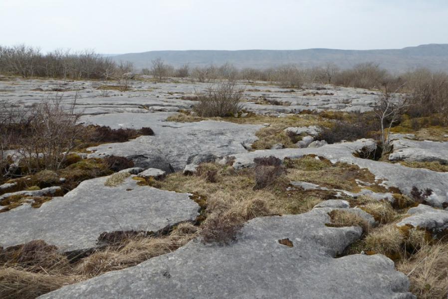
Ingleborough is one of the famous “3 Peaks” with Pen-y-Ghent and Whernside being the other two. This is a simple route and possibly the shortest main route to Ingleborough but it does have a very steep and rough stepped ascent up onto the east ridge of Ingleborough. This may be quite hazardous in wet or wintry conditions. There are excellent views to Whernside, Ribblehead Viaduct and Pen-y-Ghent on this walk. It is also possible to include a short detour to Great Douk Cave on this walk. The descent is pathless in places but takes in some of the rarely visited limestone pavements in this area.
Route
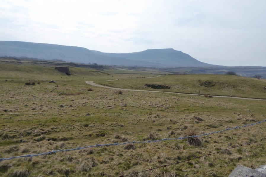
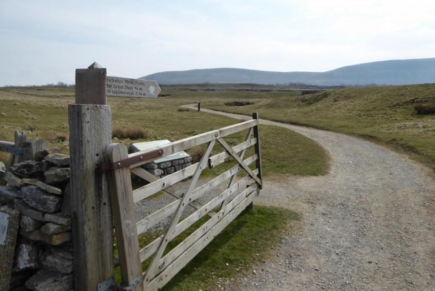
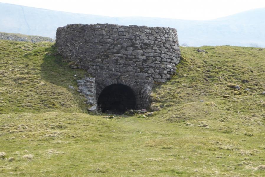
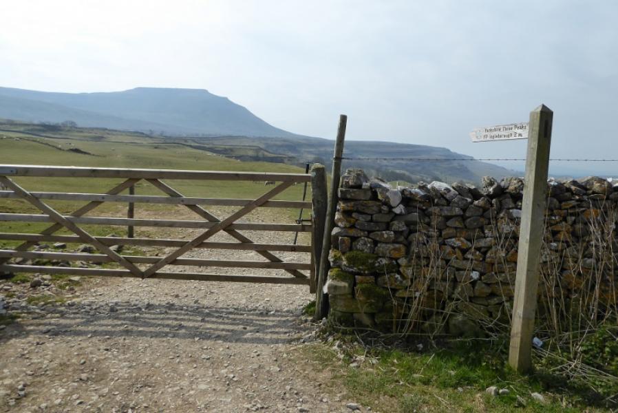
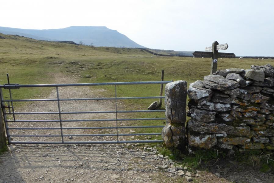
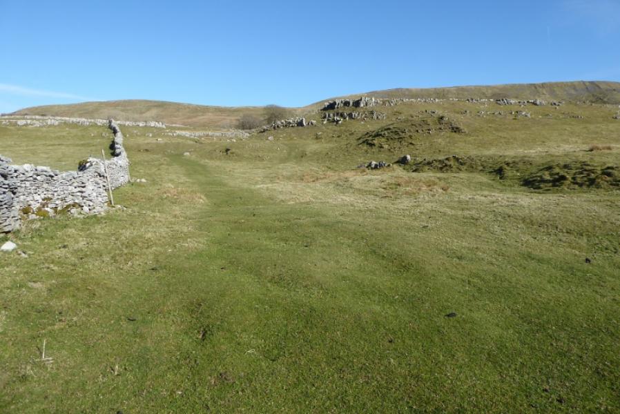
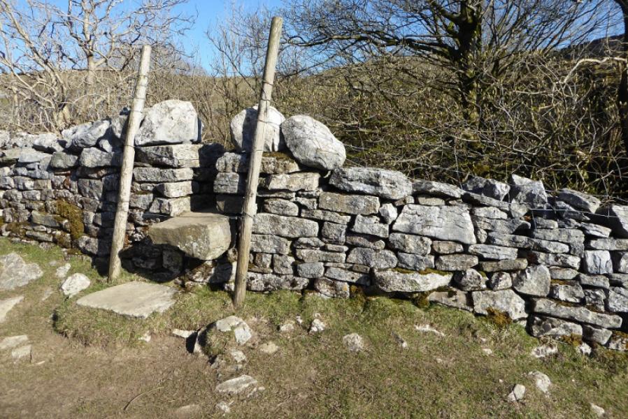
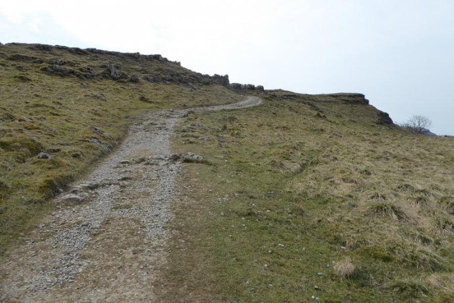
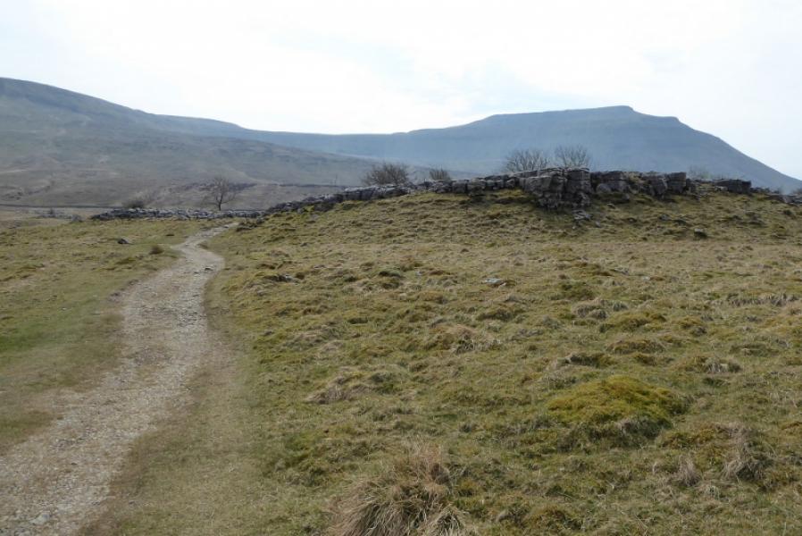
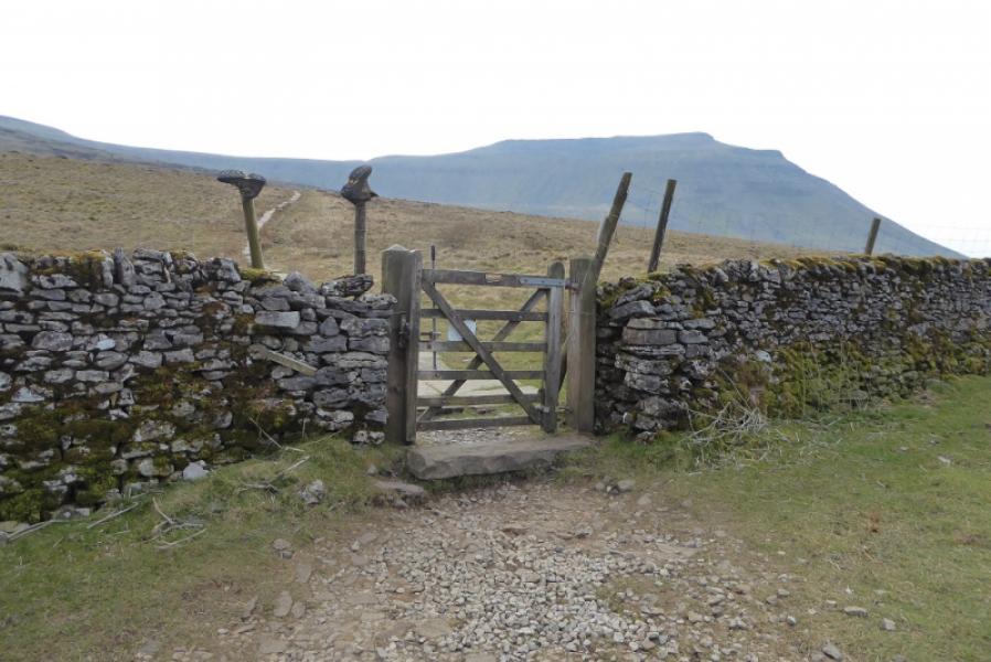
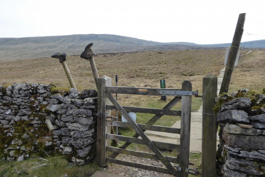
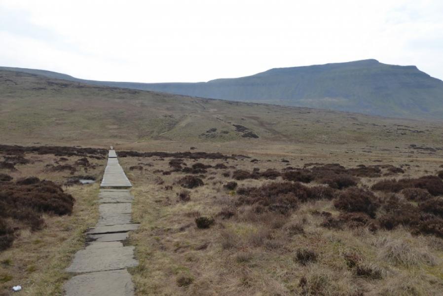
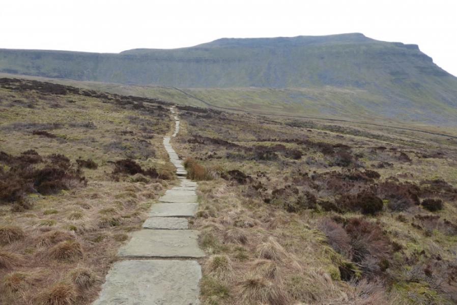
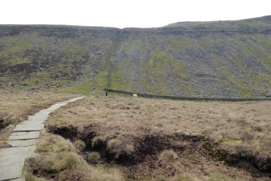
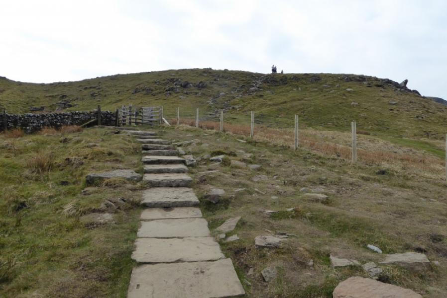
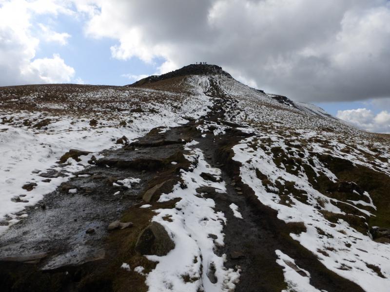
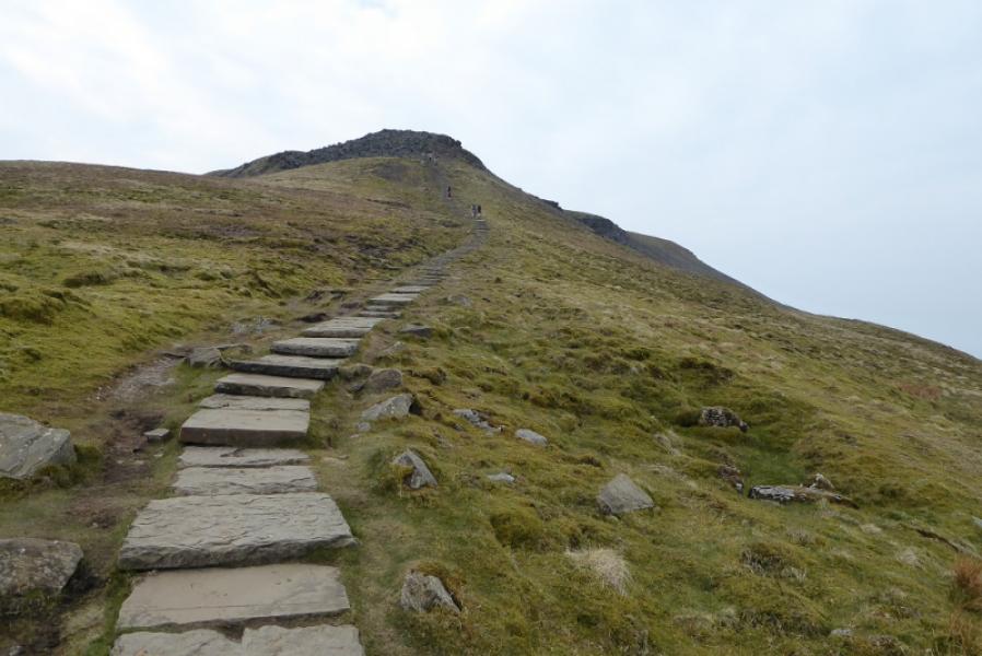
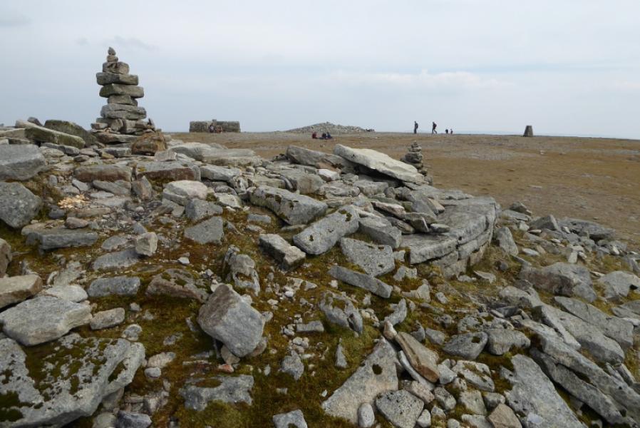
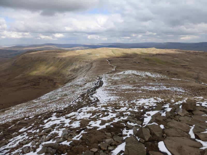
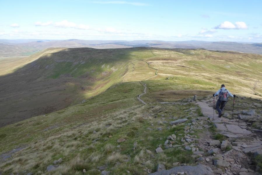
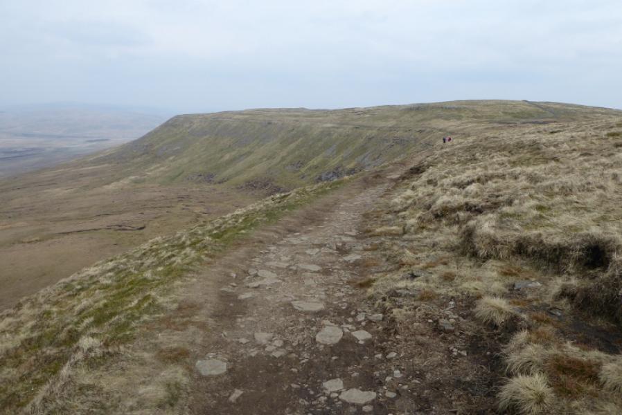
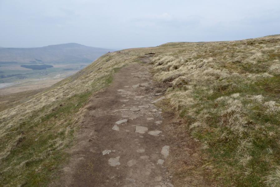
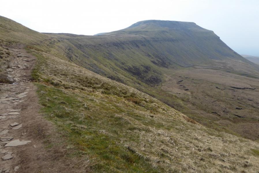
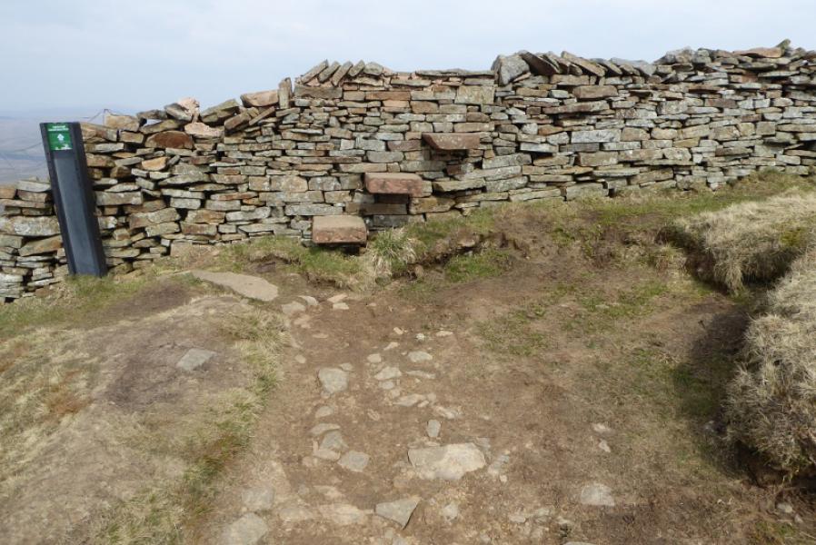
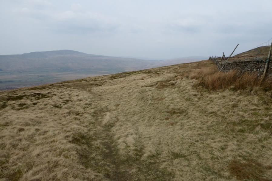
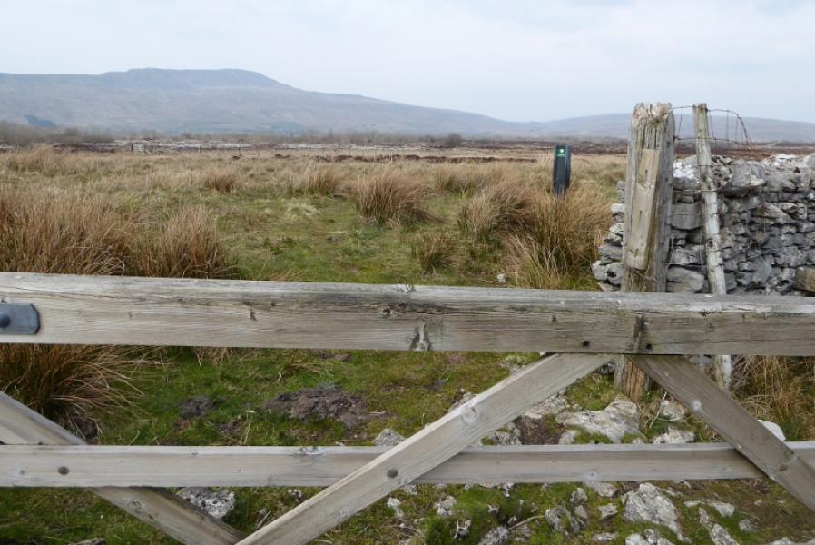
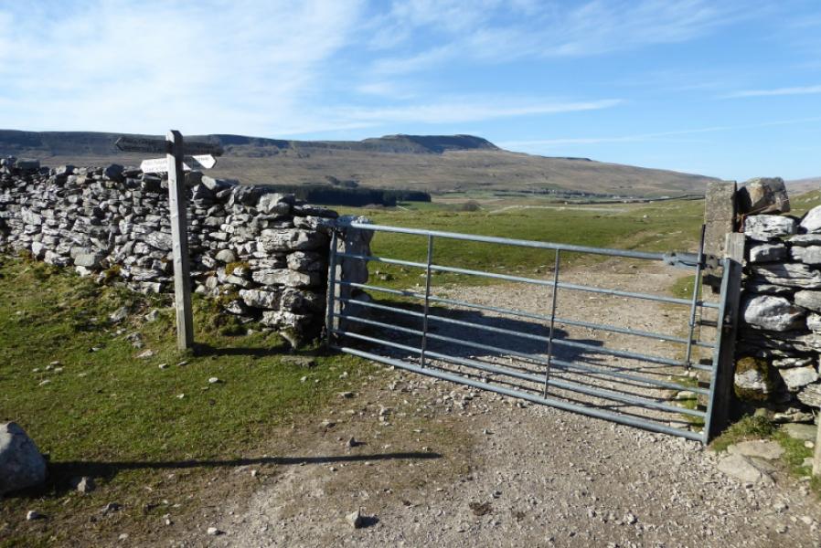
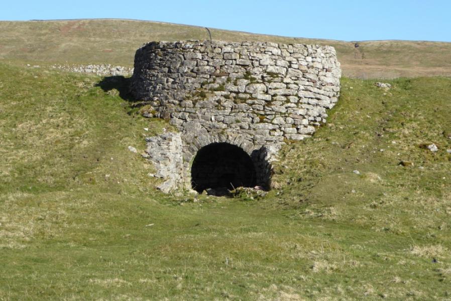
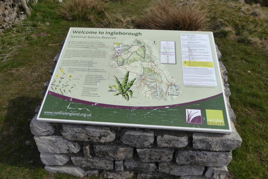
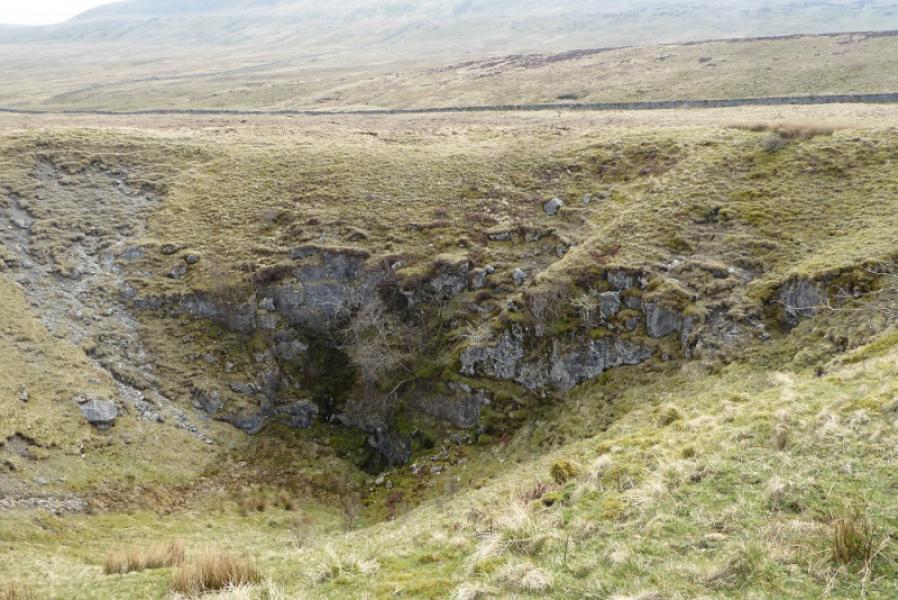
(1) From the layby, walk back towards Chapel le Dale. A very obvious track starts by a stone hut with an information board soon after its start. Follow the track, initially east but soon turns south. Pass an old lime kiln, on the left and continue to go through a gate. At the next gate, there is a signpost. With left being for Great Douk Cave. If you wish to visit the cave, take the short detour then return to the signposts. Continue ahead. The route is very obvious even when the track becomes very grassy and not that obvious. Some eroded limestone pavements are passed, the last one being before a large pothole is reached, on the left. This is Braithwaite Wife Hole. Continue on the track/path with some gradual ascending to reach a flattish area, Humphrey Bottom, just before the steep ascent onto the east ridge. The steep stepped path up onto the ridge was repaired in the Autumn of 2020 but is still quite rough. Reach the east ridge then turn right and follow another very obvious path, stepped in places, to reach the NE corner of the Ingleborough plateau. The path from Horton is joined just below the plateau. Walk W along the N edge of the plateau until the summit shelter, in the shape of a cross, can be seen. The weather would have to be very thick indeed not to be able the shelter. The trig point is very close by but is not the highest point which is a wide, but not very high, cairn slightly W of the trig point and almost on the W edge of the plateau. There are other cairns around as well. In clear weather, all of this is very obvious.
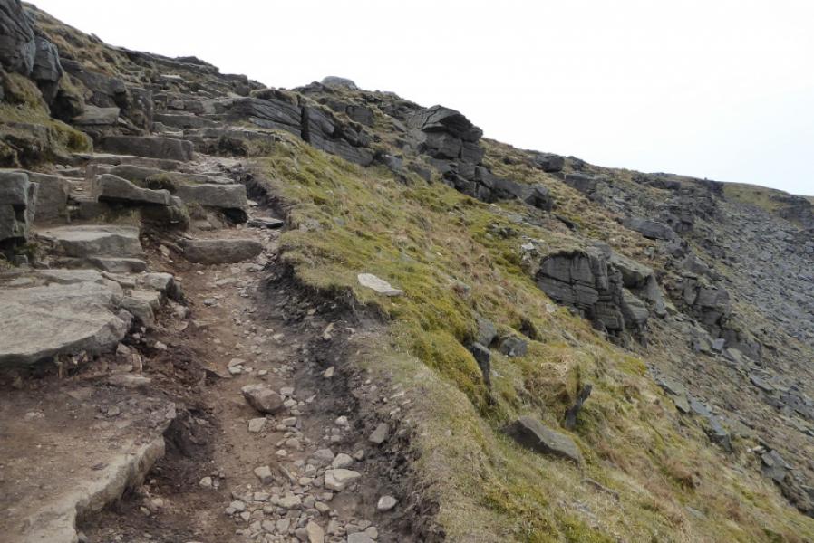
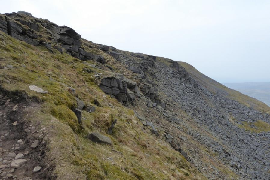
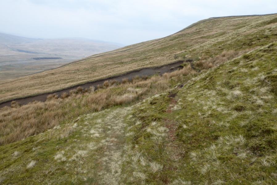
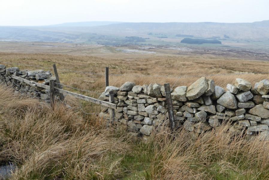
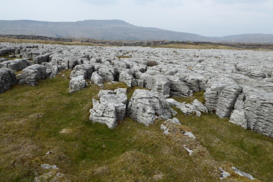
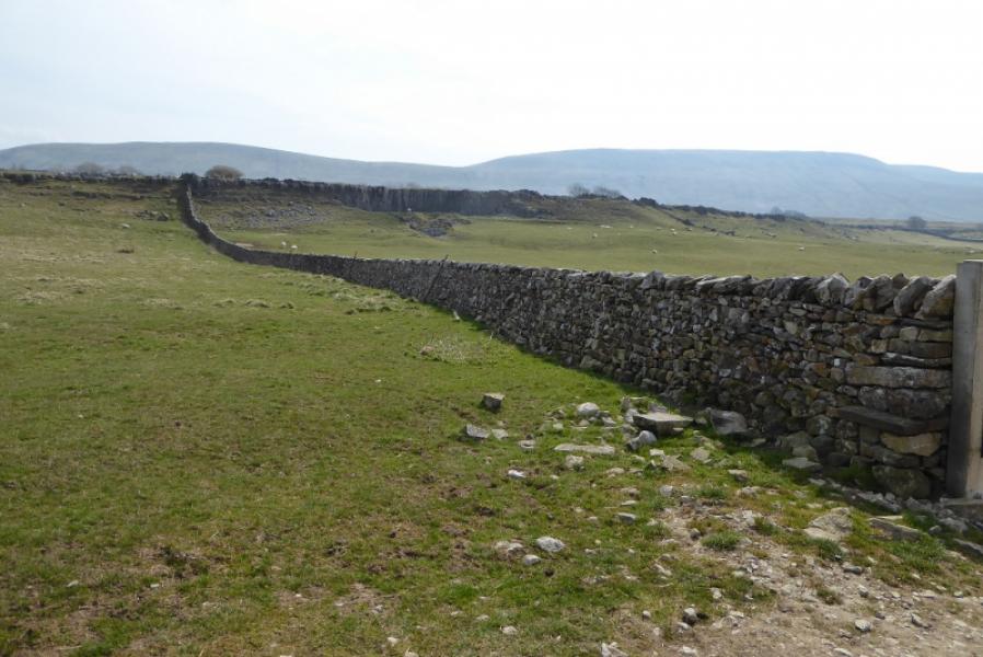
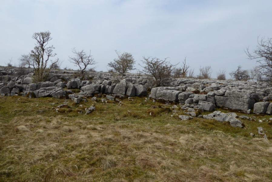
(2) Retrace the outward route to the top of stepped steep section but do not go down the steps. Instead continue ahead on the almost level path which have been well seen from Ingleborough. Follow the traverse path, crossing a wall by a stone stile. Further on, descend into the col between Simon Fell and Park Fell. Leave the crest here and descend down to the left, NW. The ground can be quite rough in places. You are aiming for the long wall traversing the lower hillside. As you approach it, look for a gateway to cross the wall and enter what some maps call Fenwick Lot. Continue, in roughly the same direction, crossing the remnants of a limestone pavement, to reach another wall which has a track running both ways just before it. Ignore the track and cross the wall then follow a wall, on your left heading NNW, for a short distance to reach a stile which gives access to a well preserved limestone pavement. Pick your way across this essentially heading NW to reach the edge of the pavement. There is a short “cliff” to get off the pavement but there are several wekanesses to allow you to walk off. The main path for Ingleborough should be just ahead. Turn right and soon reach the start.
Notes
(a) This walk took place in April, 2021.
(b) If you wish to visit Great Douk Cave on the return then turn left after reaching the main path after crossing the limestone pavement. Soon reach the signpost for Great Douk Cave.
Photos - Hover over photo for caption. Click on to enlarge. Click on again to reduce.