Get Lost Mountaineering
You are here: England » Yorkshire Dales » Western Area
Alum Pot, Long Churn Cave, Park Fell, Simon Fell & Ingleborough from Borrins Access Road near Selside
Alum Pot, Long Churn Cave, Park Fell, Simon Fell & Ingleborough from Borrins Access Road near Selside
Start/Finish
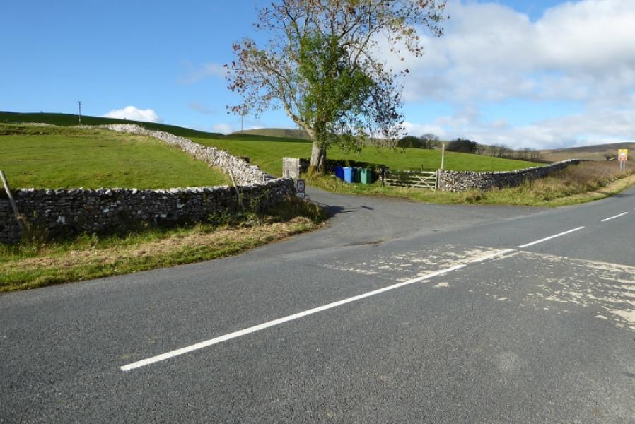
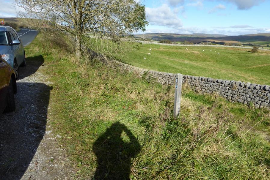
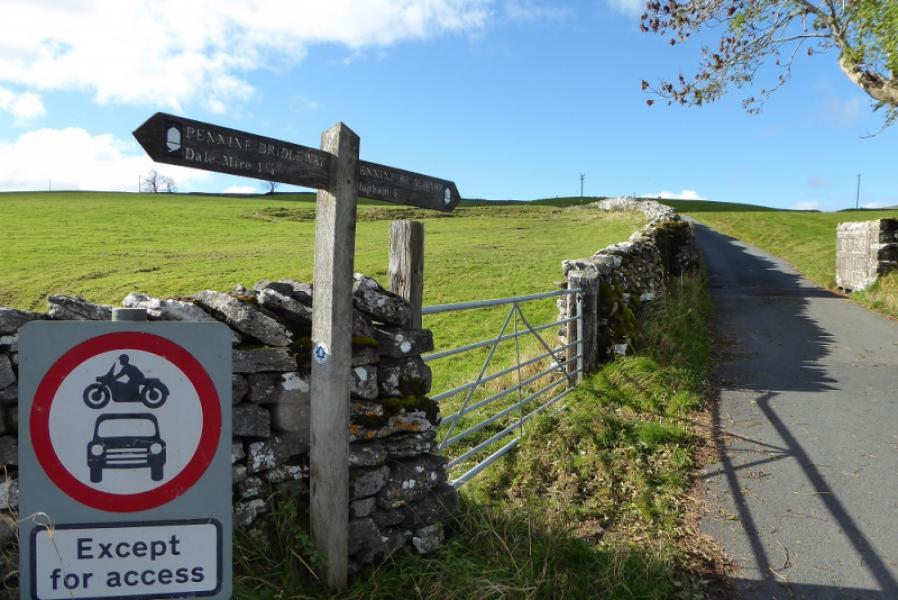
Borrins access road which is a tarmac track leaving the B6479 Horton to Ribblehead road, about 1 mile south of Selside village. The Pennine Bridleway comes down this track and crosses the road before heading NW alongside but below the road. There is a rough lay by here on the east side of the road.
Distance/Time
15 km. About 5 hours.
Peaks
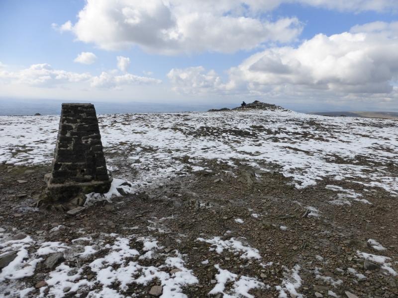
Park Fell, 563 m, SD 763 769
Simon Fell (highest point), 650 m, SD 754 752.
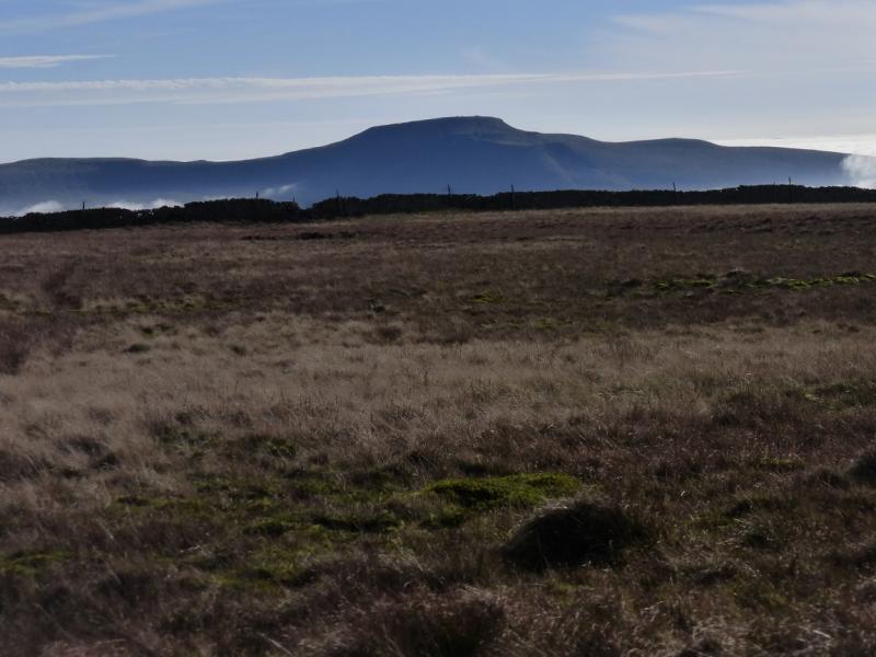
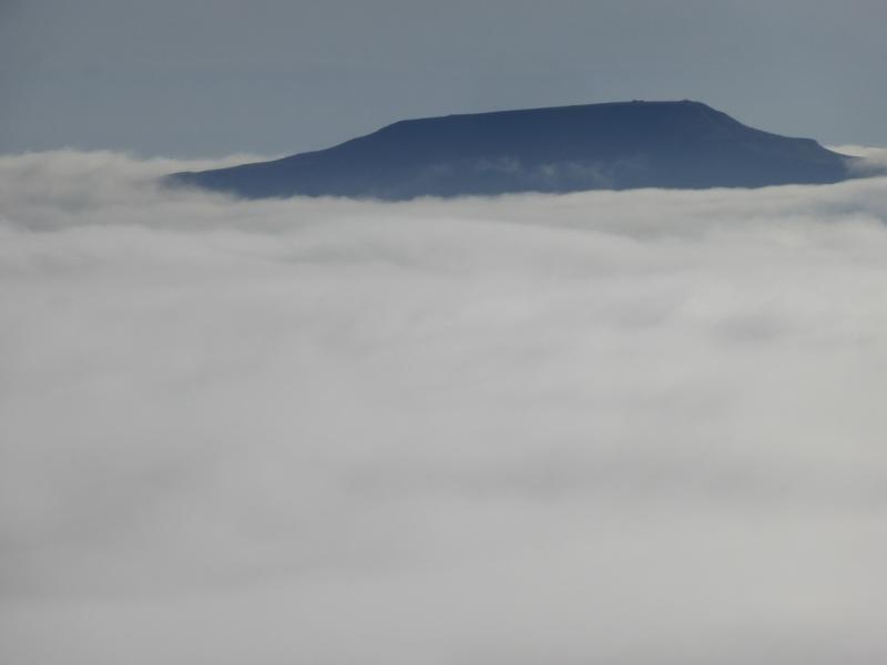
Ingleborough, 723 m, SD 741 746. OL2 Yorkshire Dales: Western Area
Introduction
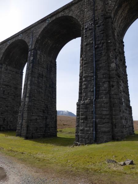
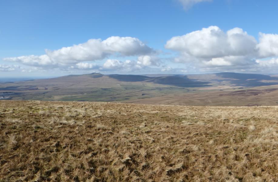
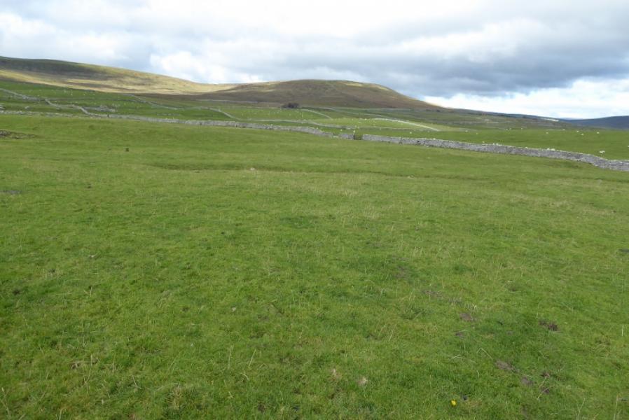
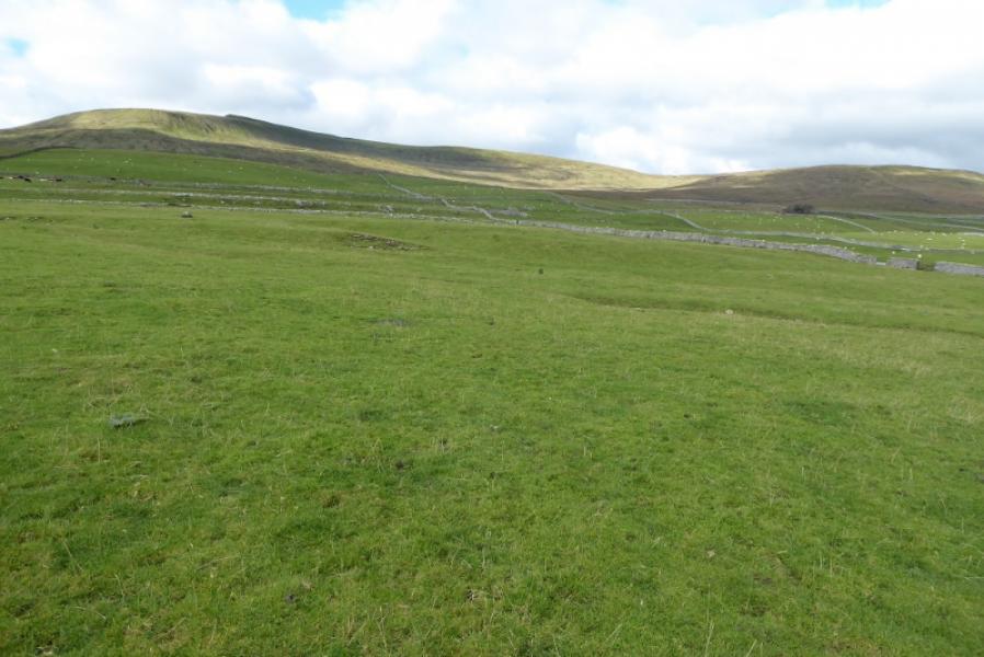
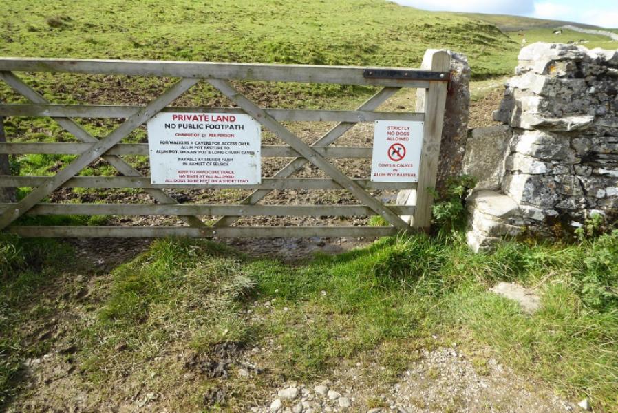
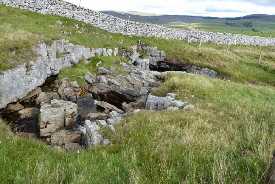
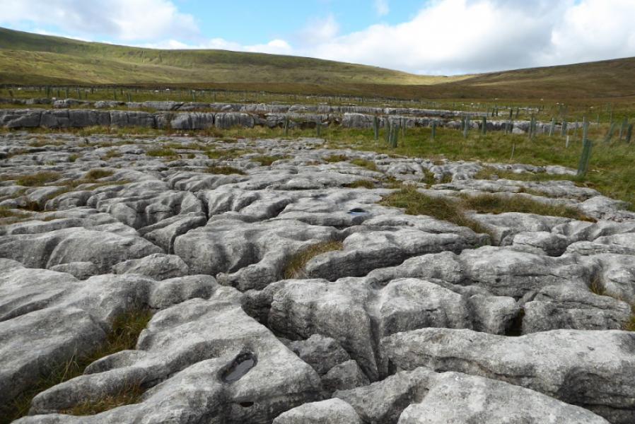
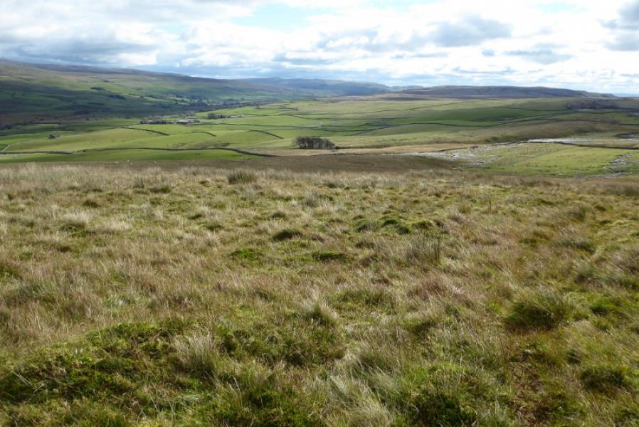
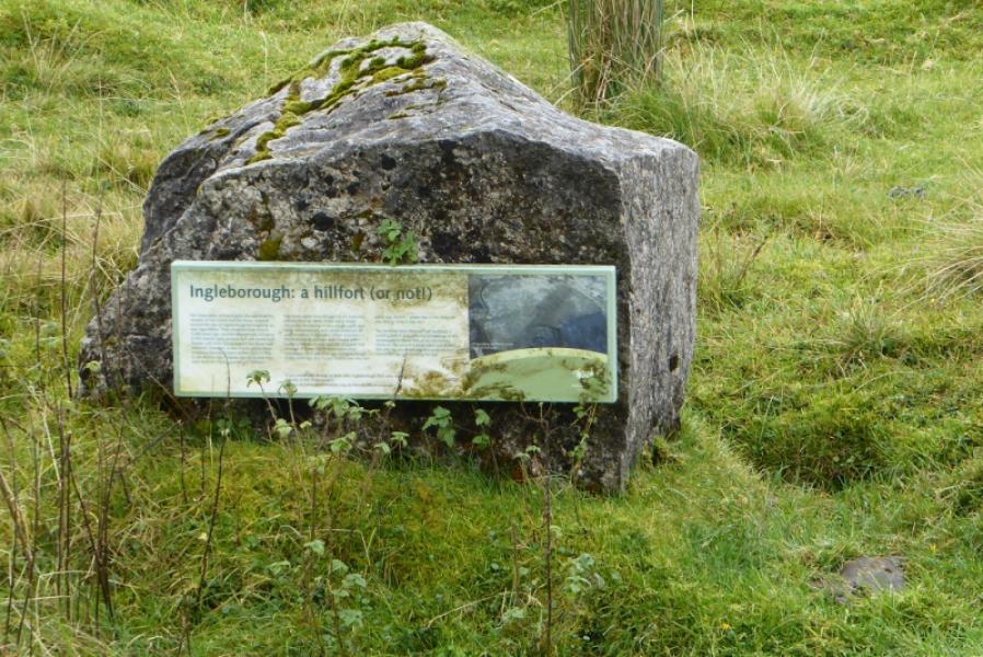
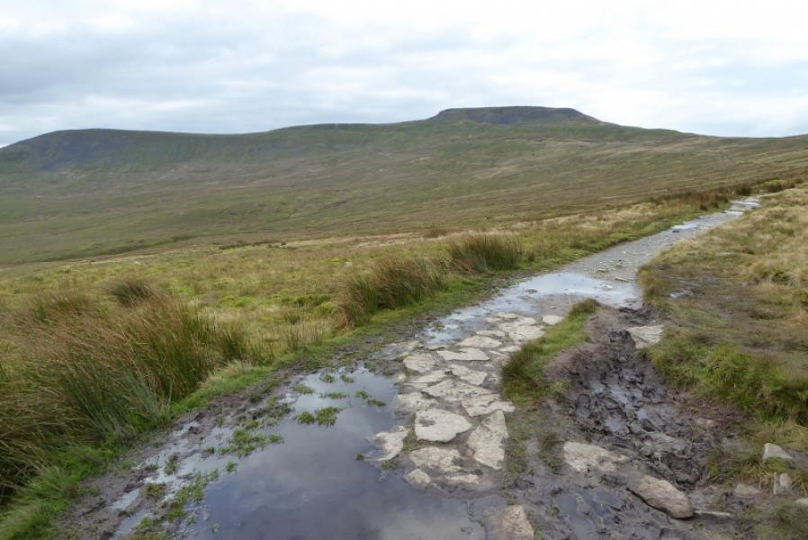
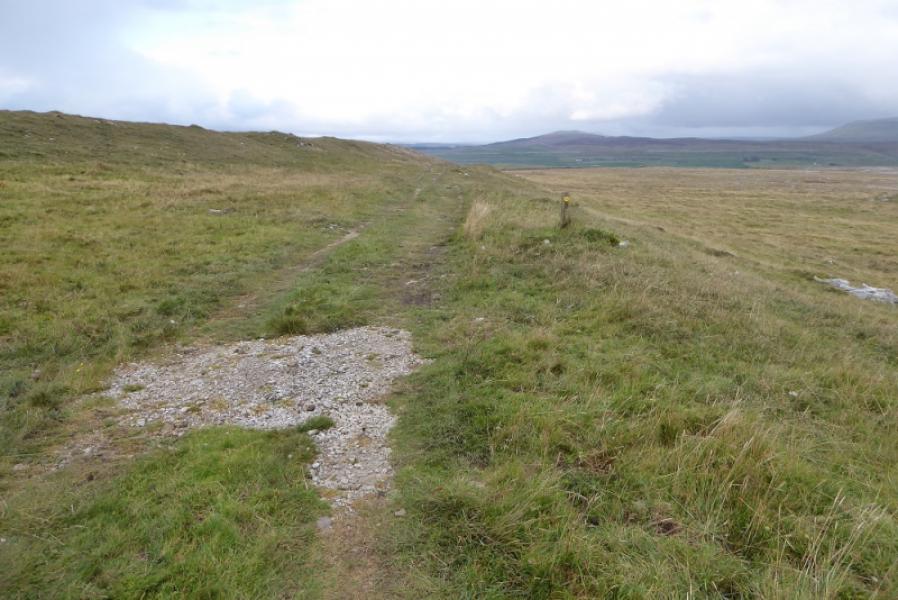
Alum Pot is very famous amongst cavers and potholers but not as well known to the general public as, say, Gaping Gill and Hull Pot. It is part of a large cave system which includes several other caves, most notably Long Churn Cave. Alum Pot is very, very deep and is only for very experienced cavers. There is a wall around it which makes it fairly safe for the ordinary walker to get quite close although trees and bushes block some of the view in the summer. Above Alum Pot is Diccan Cave and Long Churn Cave plus a few smaller caves, often on streams. Note that there isn't 100% certainty about the naming of these caves as some sources are quite vague. One of the best sources for the walker is Wainwright's “Walks in Limestone Country”. There are also limestone pavements on this walk. The ascent of Park Fell is a bit of a slog and the descent of Simon Fell is on very steep and slippery grass in places. Note that Alum Pot, etc, is on private land and there is a charge of £1 per person to enter, payable at Selside. This route does not go through Selside so make a short drive later to pay. A barbed wire fence may have to be crossed after Long Churn Cave. Good visibility is almost essential for this route. Note that the actual summit of Simon Fell is visited on this route not it's slightly lower SW top which is the pointed peak seen from down below near the start and has a much larger cairn than the highest point. Ingleborough is one of the famous “3 Peaks” with Pen-y-Ghent and Whernside being the other two. The descent of Ingleborough is on the main path from Horton until it is left for the Pennine Bridleway back to the start. This main path is very mixed. In places, it is slabbed or a hard gravel surface but it does have stony and boggy sections.
Route
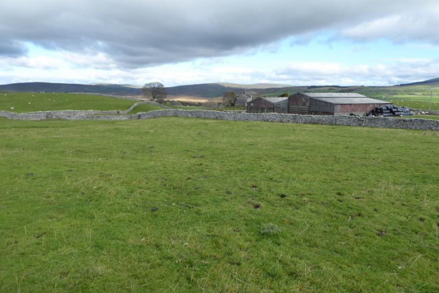
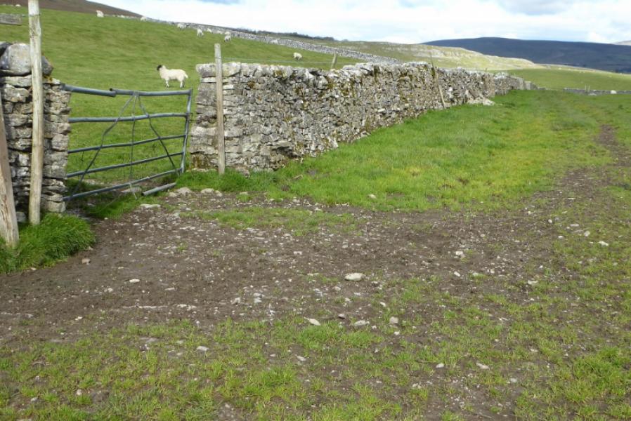
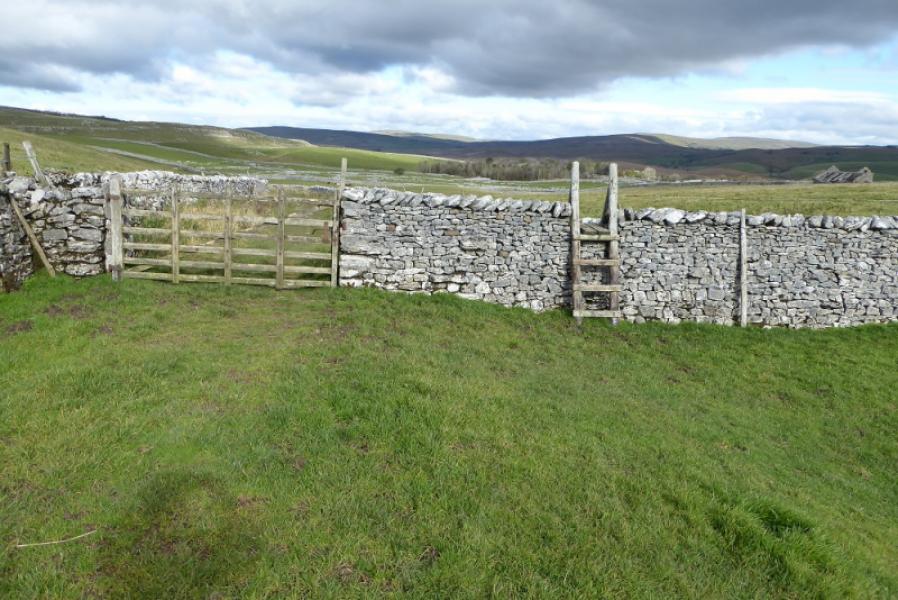
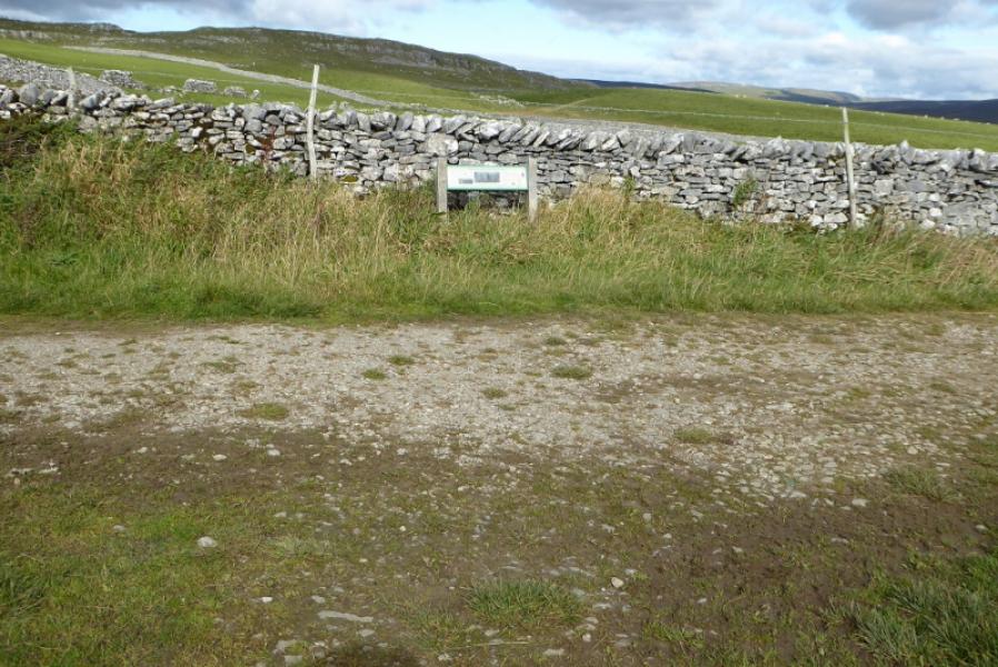
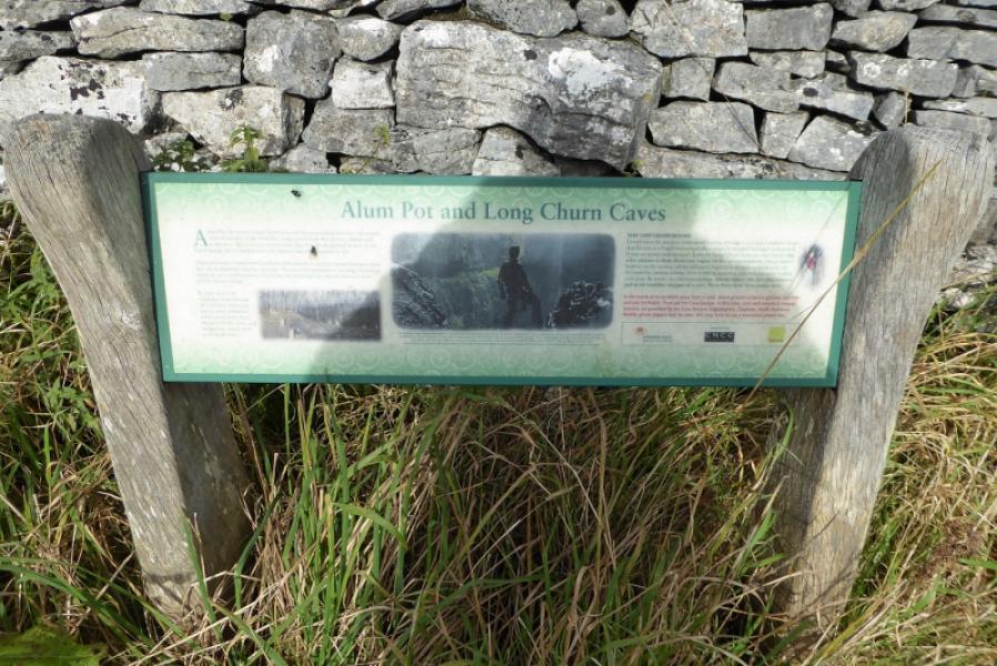
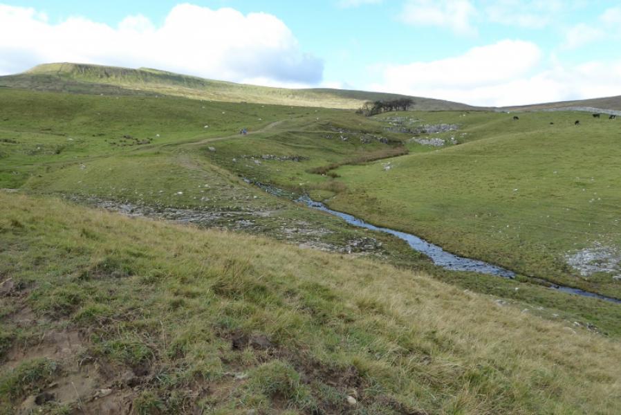
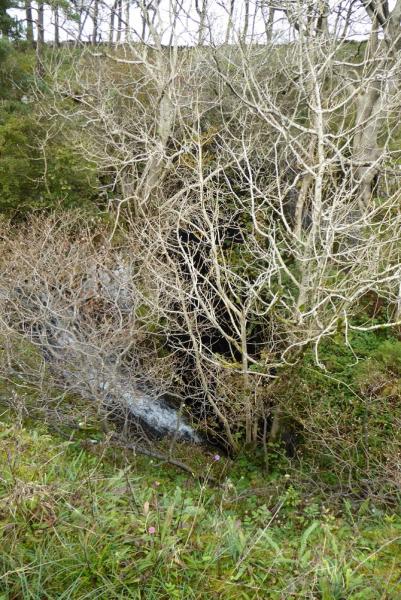
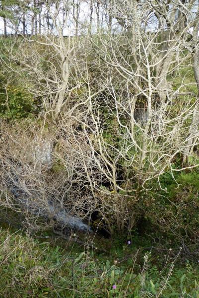
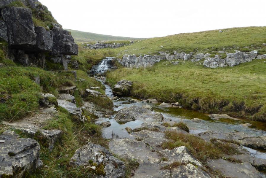
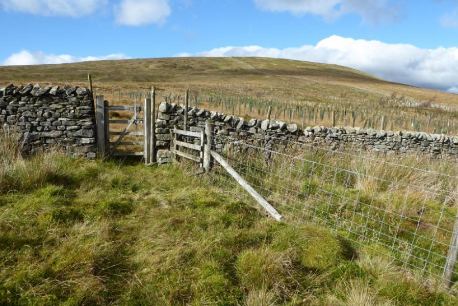
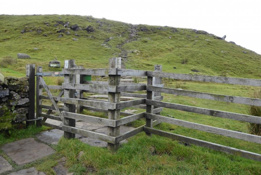
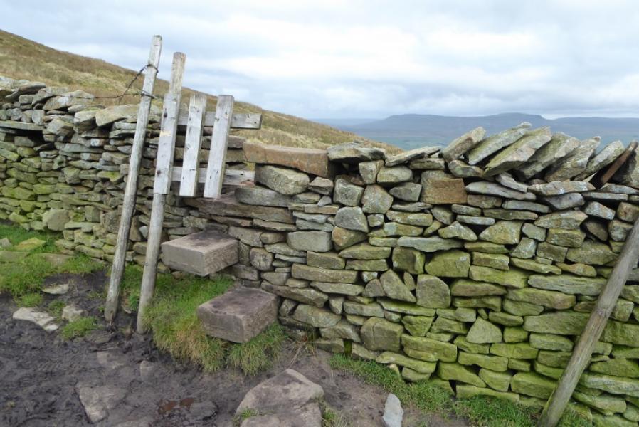
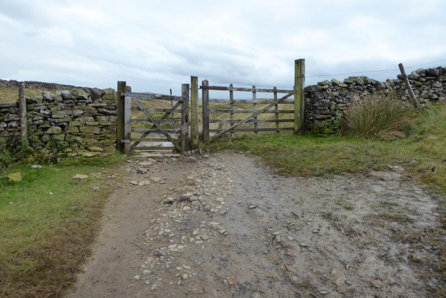
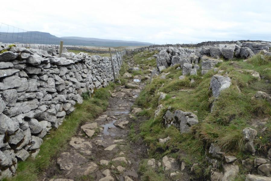
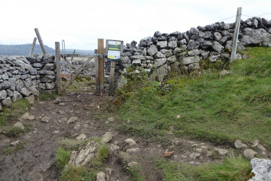
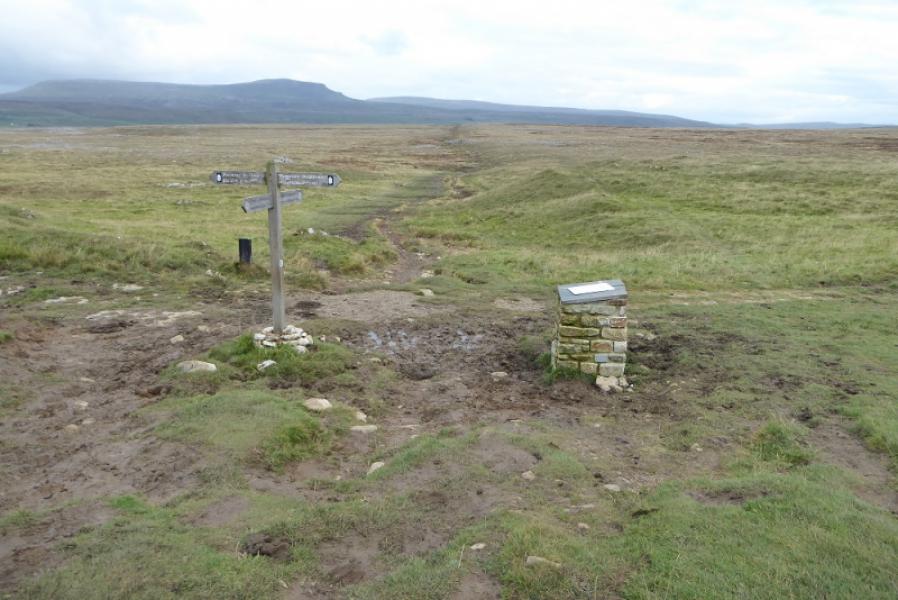
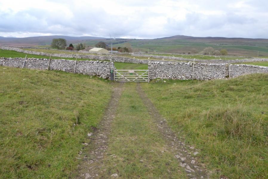
(1) Walk up the tarmac road opposite the lay by (labelled Pennine Bridleway and for Clapham). Soon reach a T junction and turn right. Follow the track, going straight on where the track forks right to Borrins. Reach a ford which looks more like a large puddle. The Pennine Bridleway goes ahead then curves left through a gate but that is NOT the route. Instead follow the wall round to the right and cross a field to reach a stile. Continue to another stile after the next field. Reach a rough track coming from Gill Garth and follow it left, crossing the very shallow, grassy groove of Gillgarth Beck which is often dry. Reach a signpost on a wall corner; you will return to this point later. Follow the wall N without crossing it. Go through a gate to reach a better track. Follow this to a T junction where there is an information board about Alum Pot. Turn left and go through the gate. Follow the track uphill towards a clump of trees surrounded by a stone wall. This is Alum Pot. Do not go over the wall unless you are an experienced caver with the right equipment.
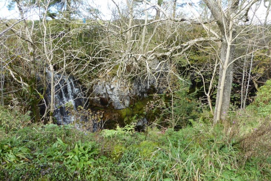
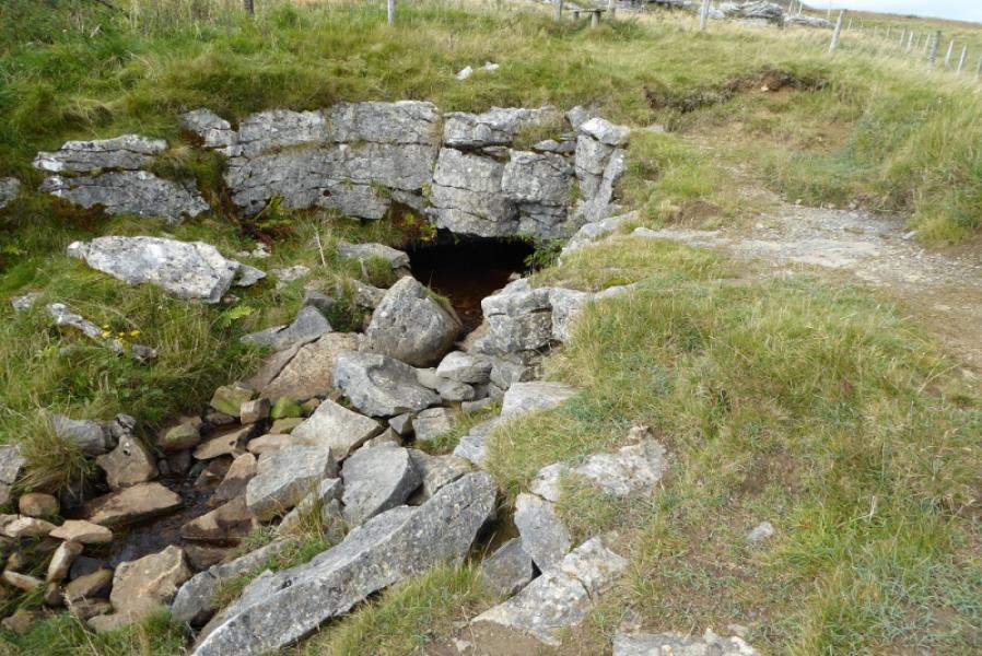
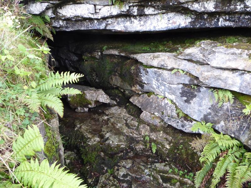
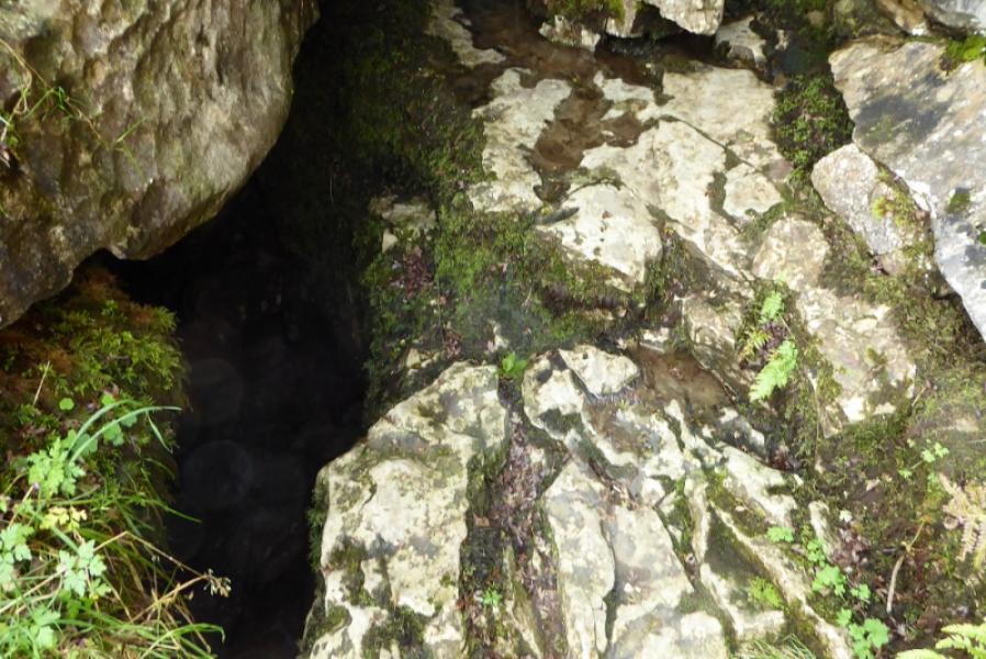
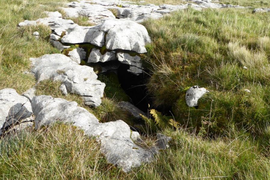
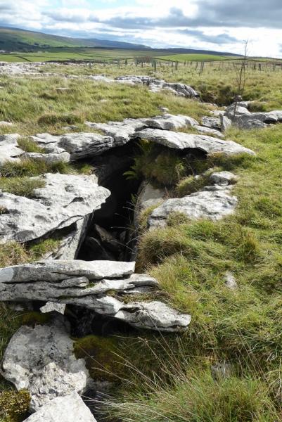
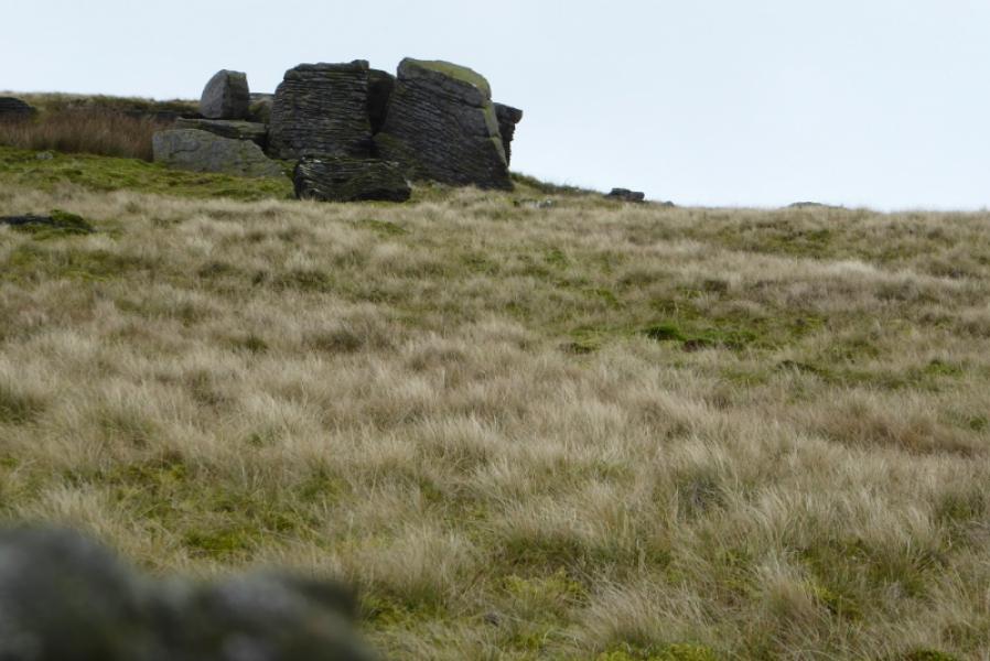
(2) Cross the small stream flowing into Alum Pot and go up the side of the wall to the NW corner where there is the remains of an old stile. As previously warned, do not try and get over the stile. A path goes NW from here to a small fenced off area with a stile allowing entry. This is Diccan Cave. A stream appears at the top end, goes under the middle section, which you can walk on, then disappears at the bottom end towards Alum Pot.
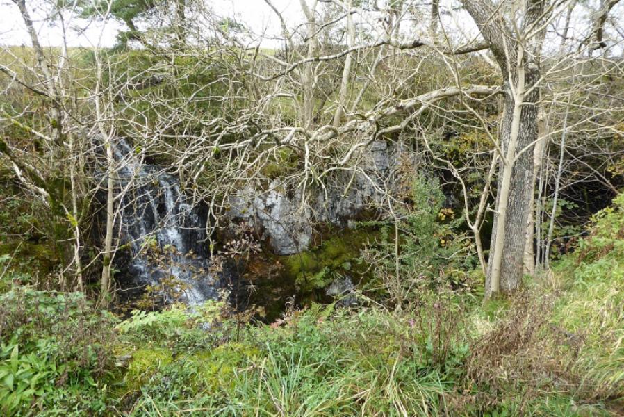
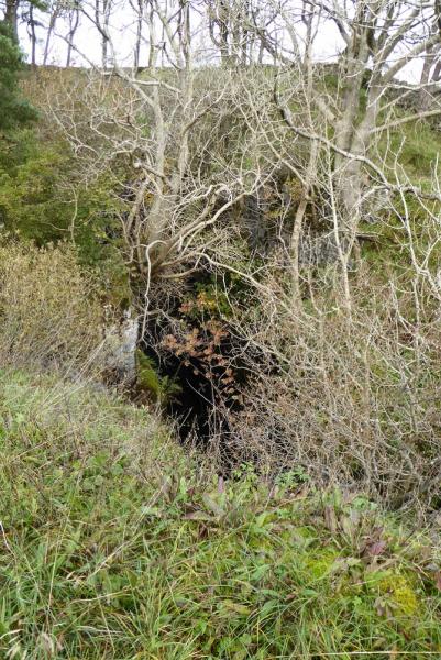
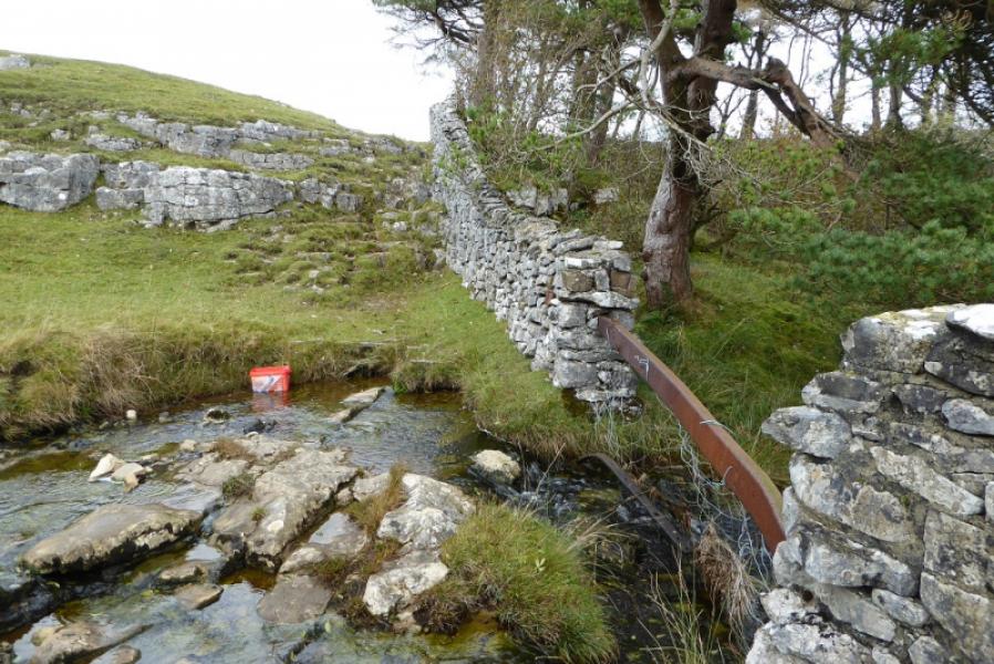
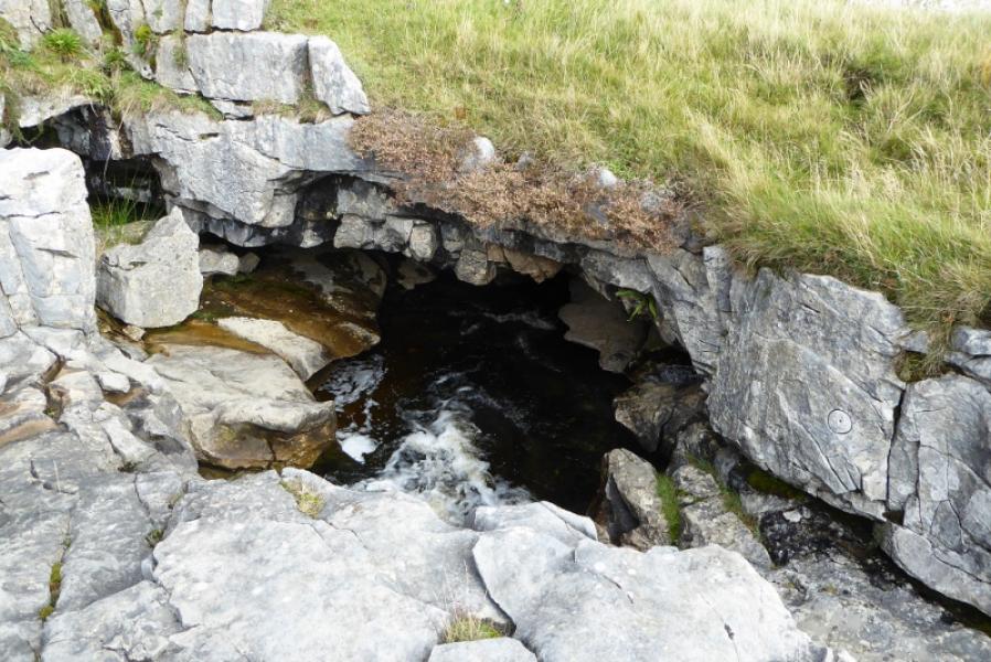
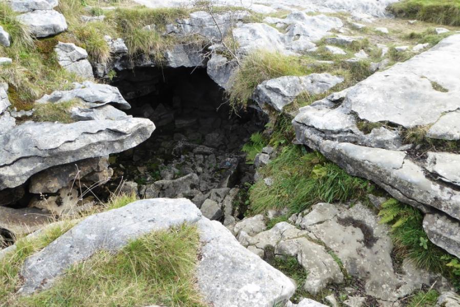
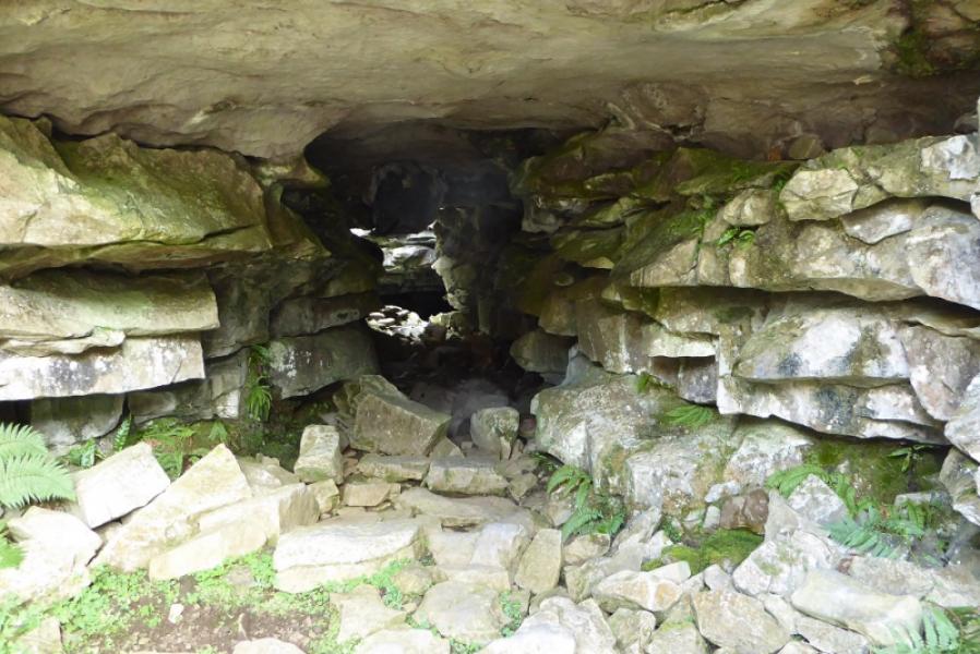
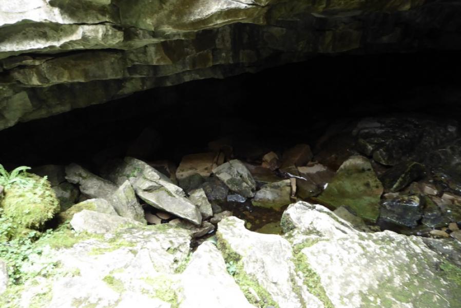
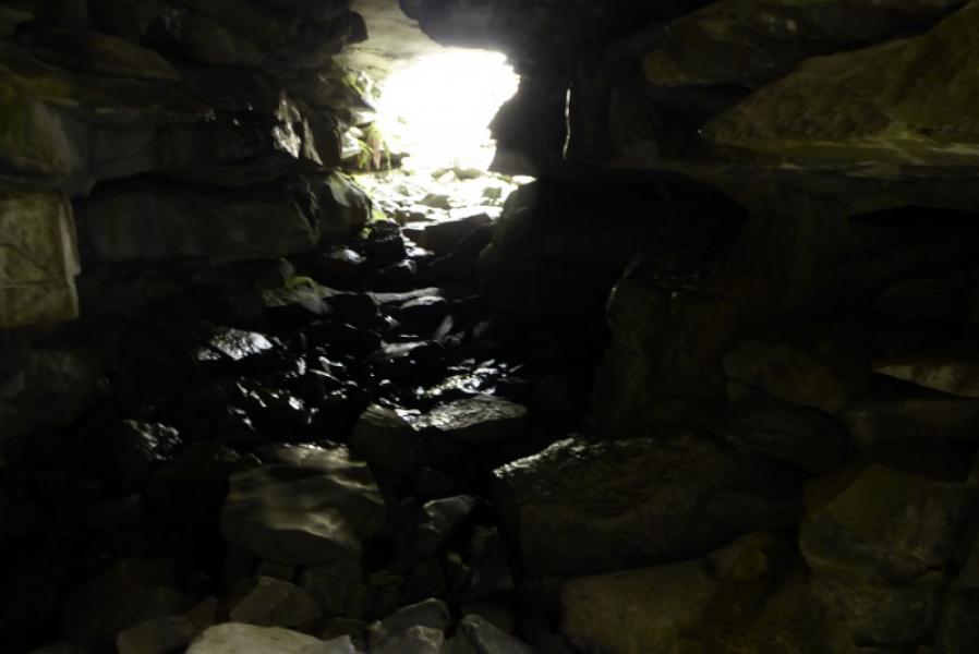
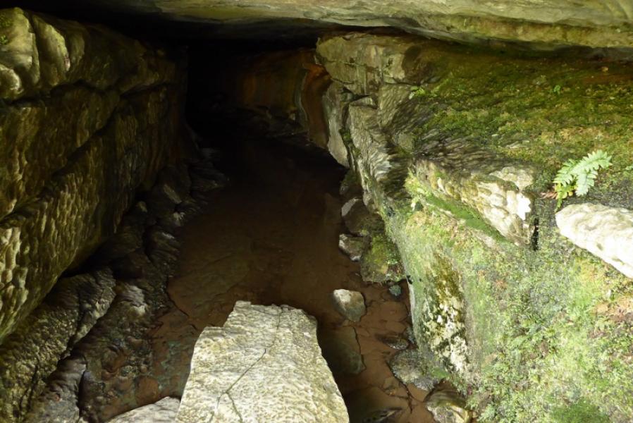
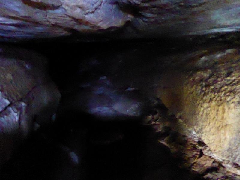
(3) Continue uphill to the next fenced off enclosure and enter this by a stile. This is Long Churn Cave. Where you access it is fairly safe and you can follow the stream coming from the north to access the lower cave, on the left, by carefully stepping down some rocks. The first section is very short with daylight at the other end. Walkers are best not to explore further. The upper cave is to the right where you went left to access the lower cave. It looks very much like a tunnel but beware the narrow cleft on the left as you enter as there is quite a drop to fall into. The “tunnel” has a fairly flat floor and can have some water, about 3 -5 cm deep, flowing along it. A torch will be needed to go in more than a few metres but, again, don't push your luck if you are not an experienced caver.
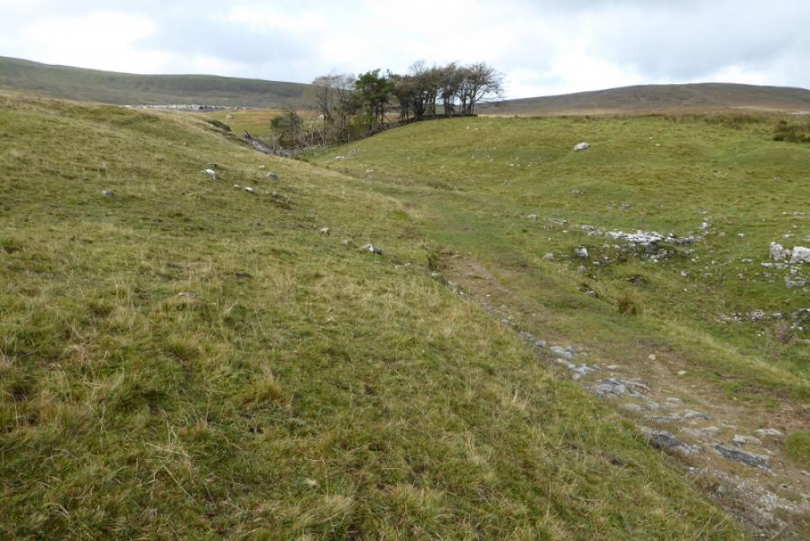
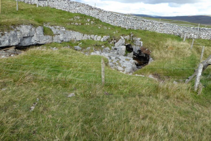
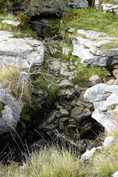
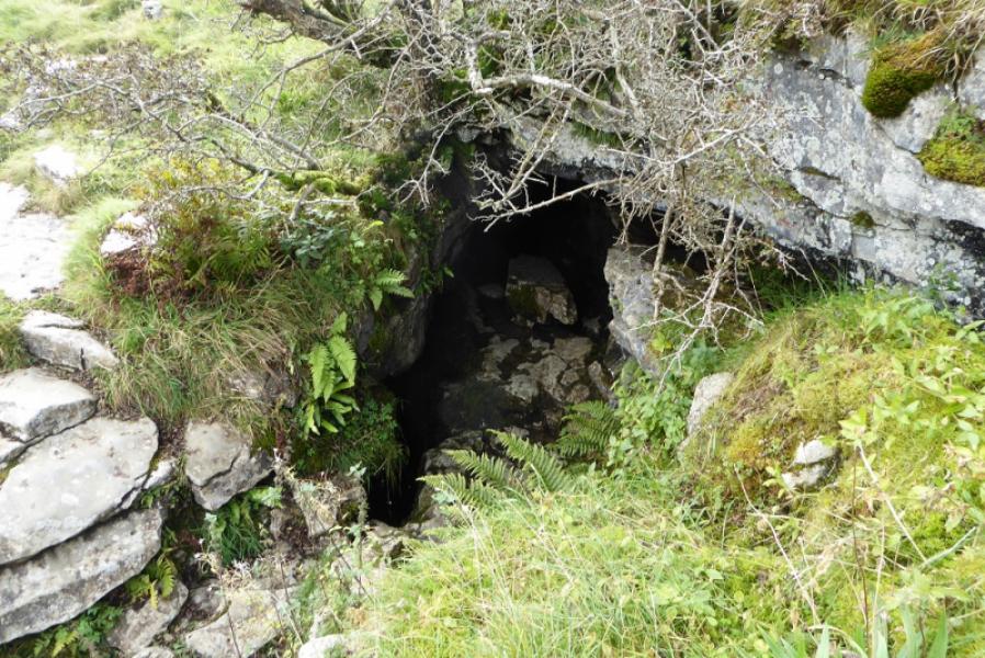
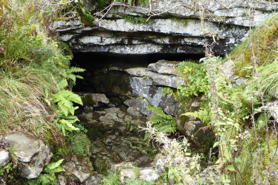
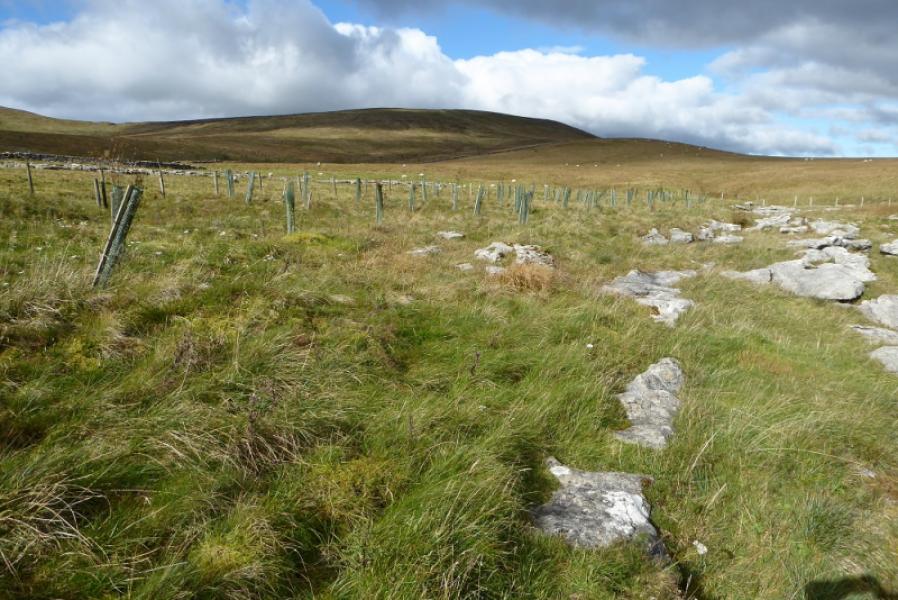
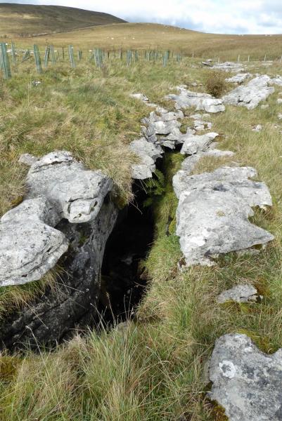
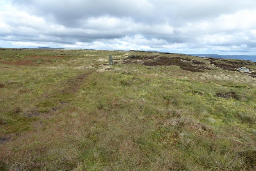
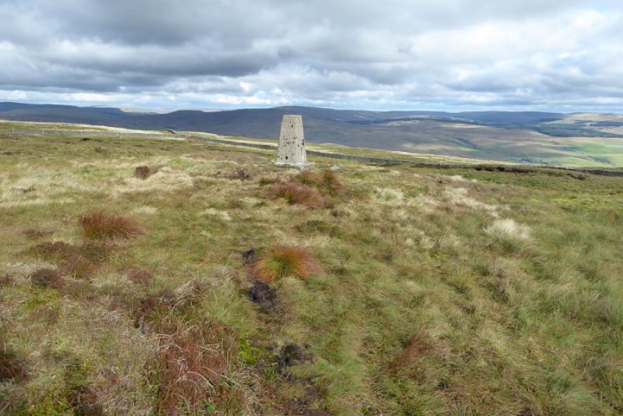
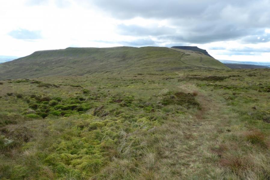
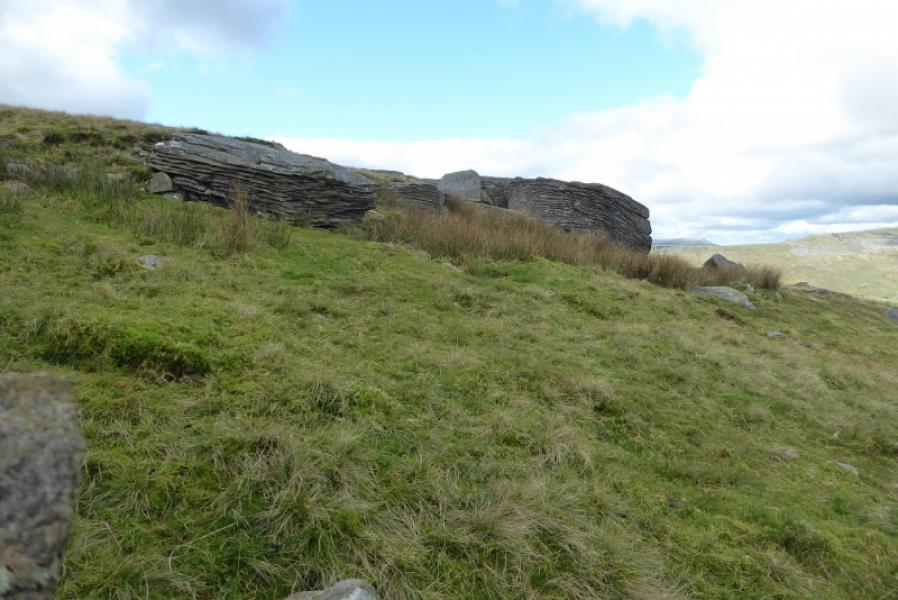
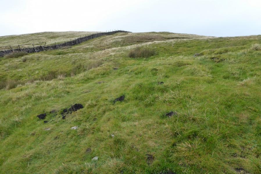
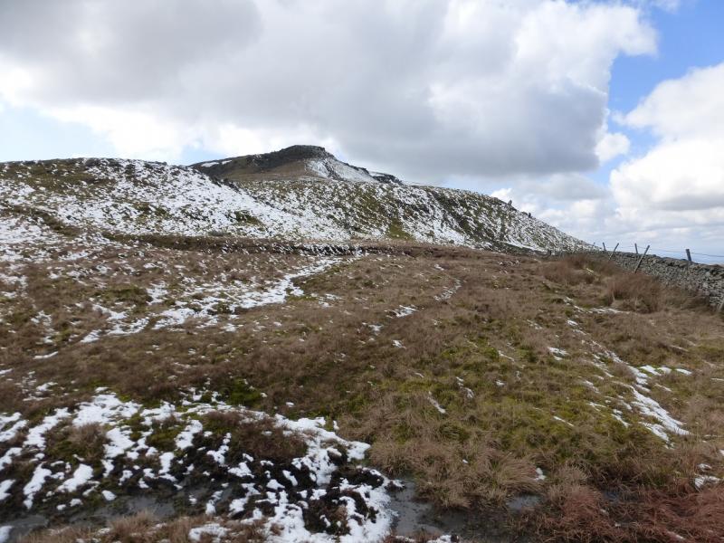
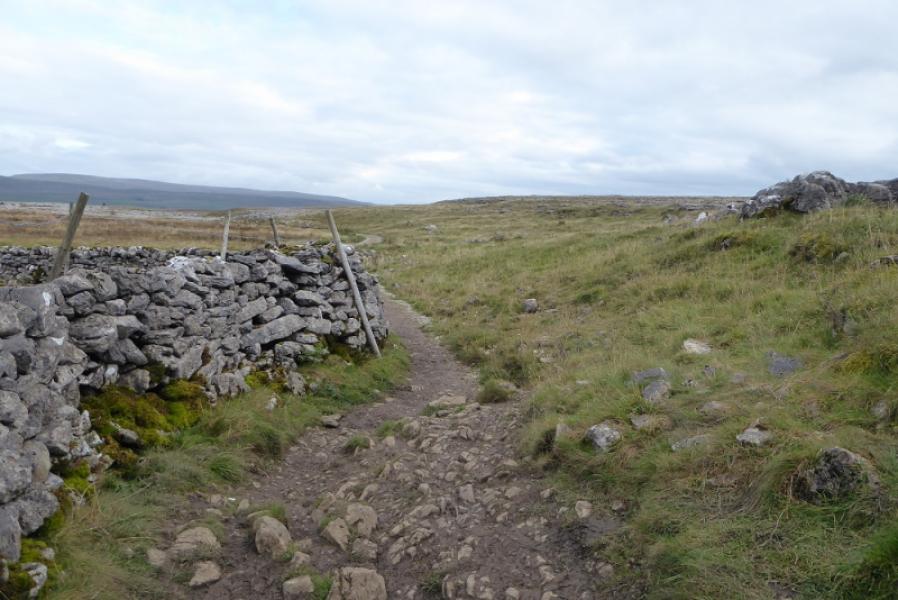
(4) Return to the entrance and follow the surface stream up, roughly N, to cross a stile. Aim for the limestone pavement and cross over, roughly W. Reach a path crossing your route and turn right. Follow this which soon picks up a small stream that has caves and clefts in it. Continue past these to reach a fence corner with no stile and the fence is barbed wire. Climb over then look for a faint path which shadows a wall heading N towards the lower slopes of Park Fell. Just before a plantation, the path passes through a gate on the left and starts picking its way up Park Fell drifting towards the obvious wall on the right. Follow the path up until it levels off and another path crosses it. Turn right and soon reach the trig point which is the summit of Park Fell, 563 m.
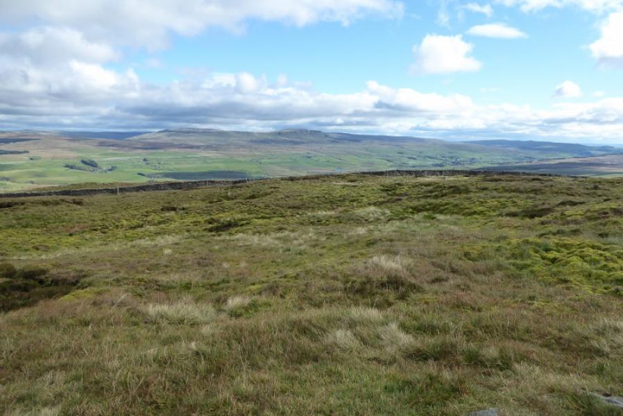
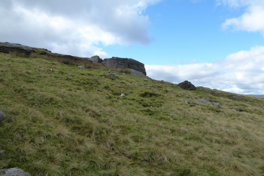
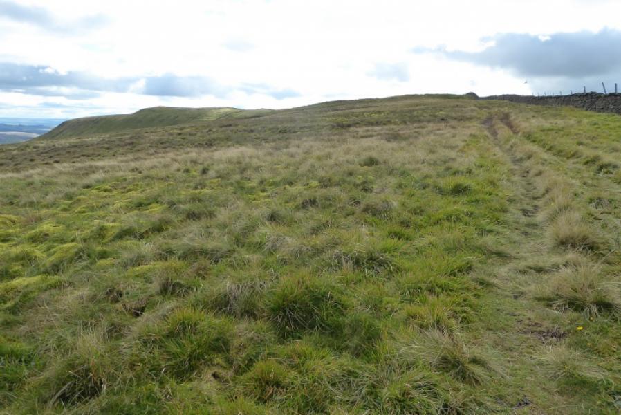
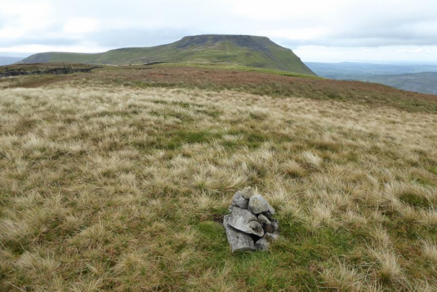
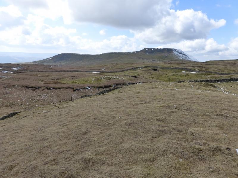
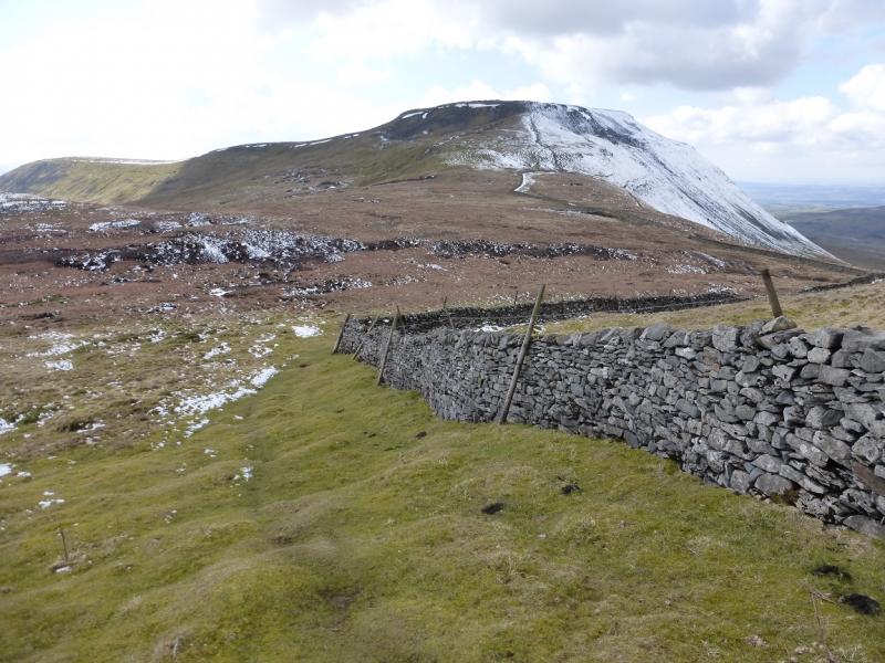
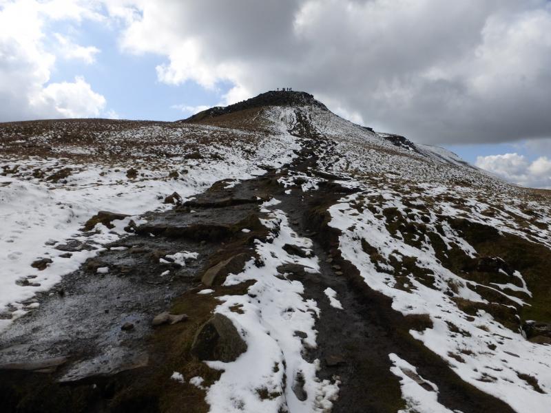
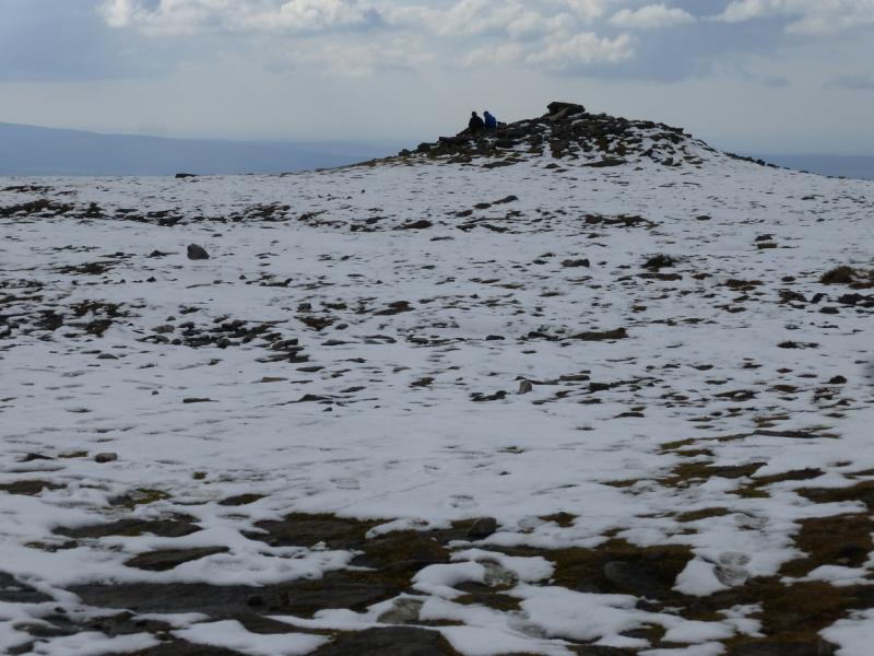
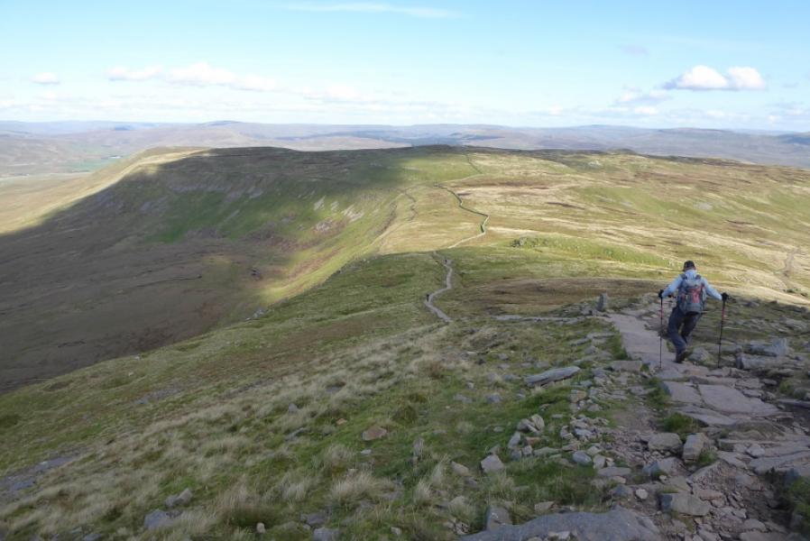
(5) Retrace to the path crossing then continue ahead over ground which can often be wet and with a wall some way off to the right. The path crosses a shallow, grassy, wet col before picking its way up the N ridge of Simon Fell on a fairly obvious path which is often close to the wall. Pass a large outcrop, other side of the wall which is Black Rock. Continue up, following the wall. If it is clear, note that you are not heading for the obvious caitn which the wall continues to. Reach a stile by a gate, after which follow a path by a wall leaving the one you have been following up Simon Fell. Follow the path and wall up to the highest point where a tiny cairn marks the summit of Simon Fell (highest point), 650 m.
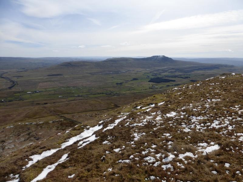
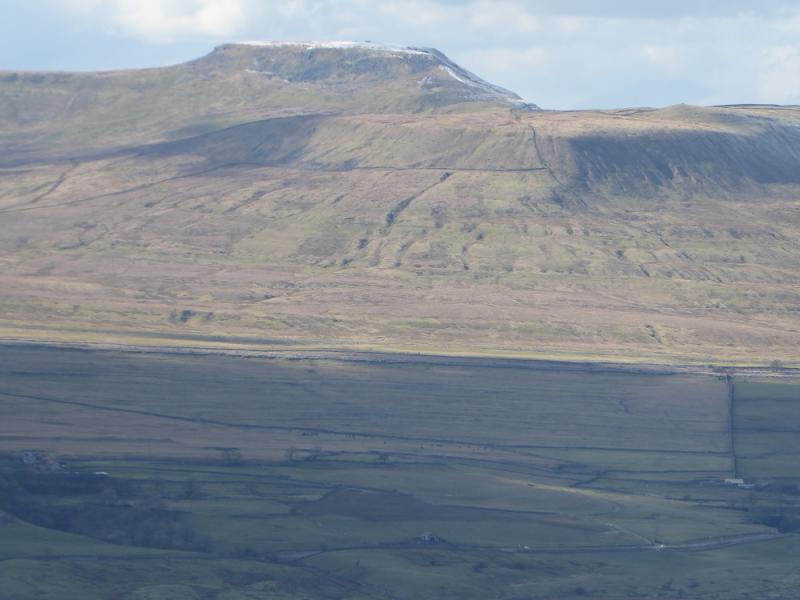
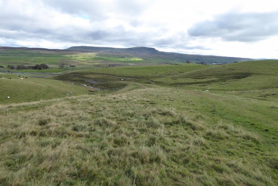
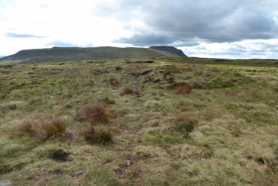
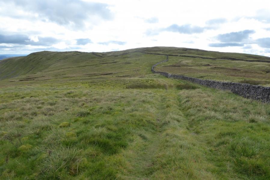
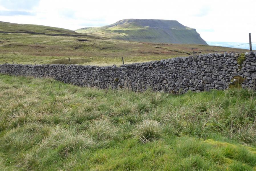
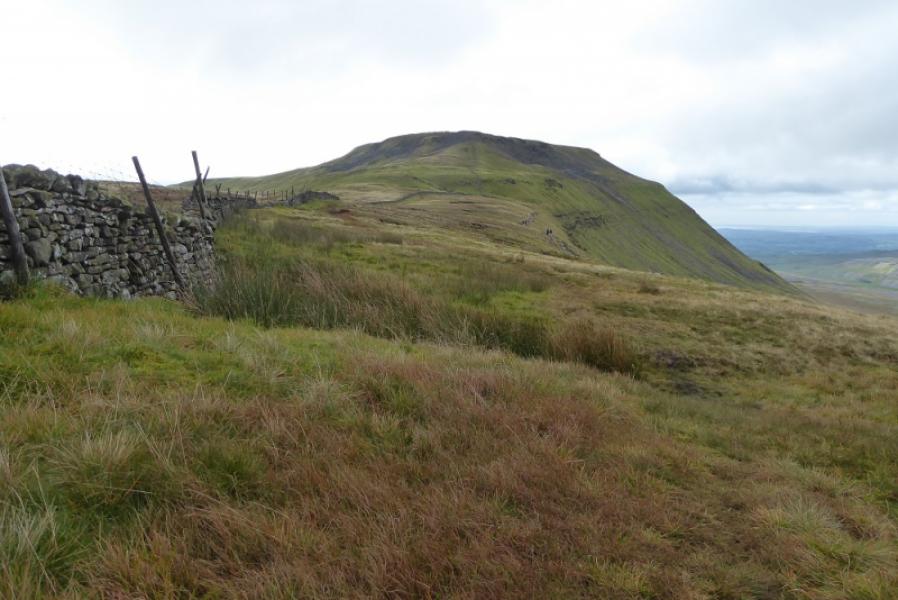
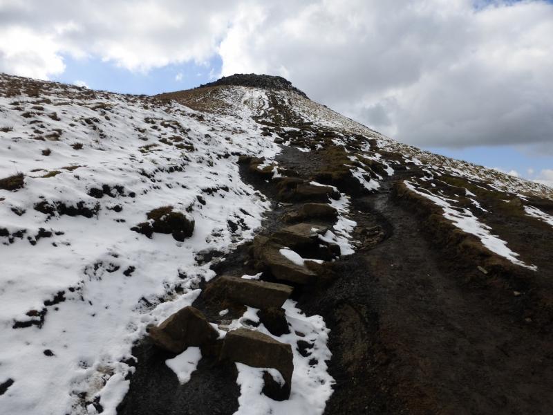
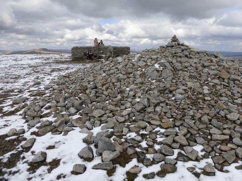
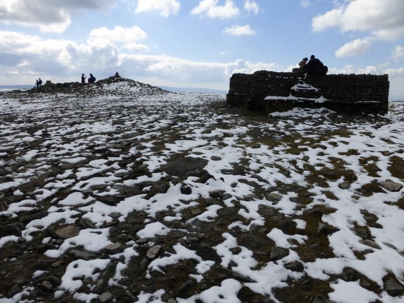
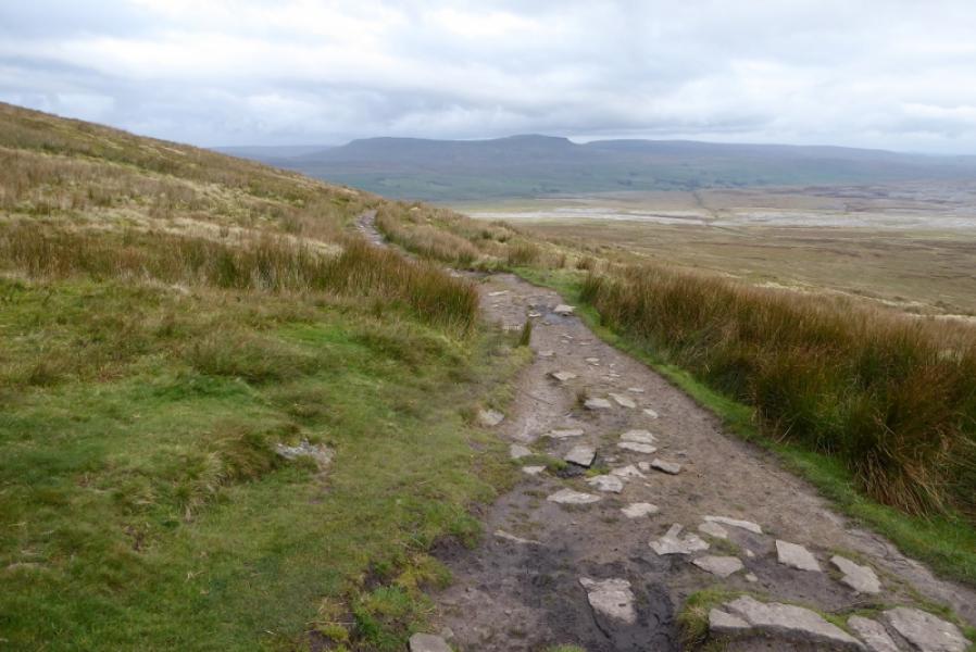
(6) Continue alongside the wall with hardly any descent until the main path from Chapel-le Dale joins in as a reverse right fork. Go through a gate and start ascending the mainly slabbed path up Ingleborough. Higher up, the path from Horton joins as a reverse left fork. Note this as it will be used for the descent. Continue up to reach the eastern end of the extensive stony Ingleborough plateau. Follow the “path” continuation along the edge of the plateau, heading west. In clear weather the summit area will be very obvious but it would have to be very misty not to see it at all however be careful in thick mist. The summit area comprises a cross shelter cairn, a trig point and two mounds of which the most westerly one is the highest point (higher than the trig point) and so is the summit of Ingleborough, 723 m.
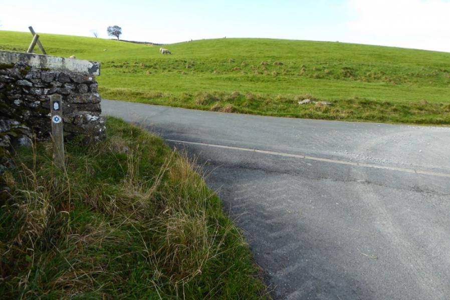
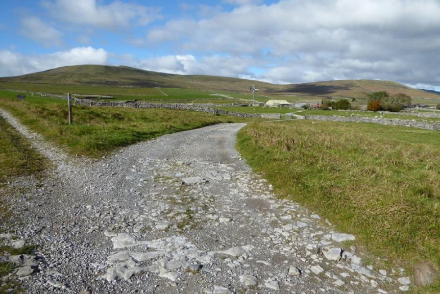
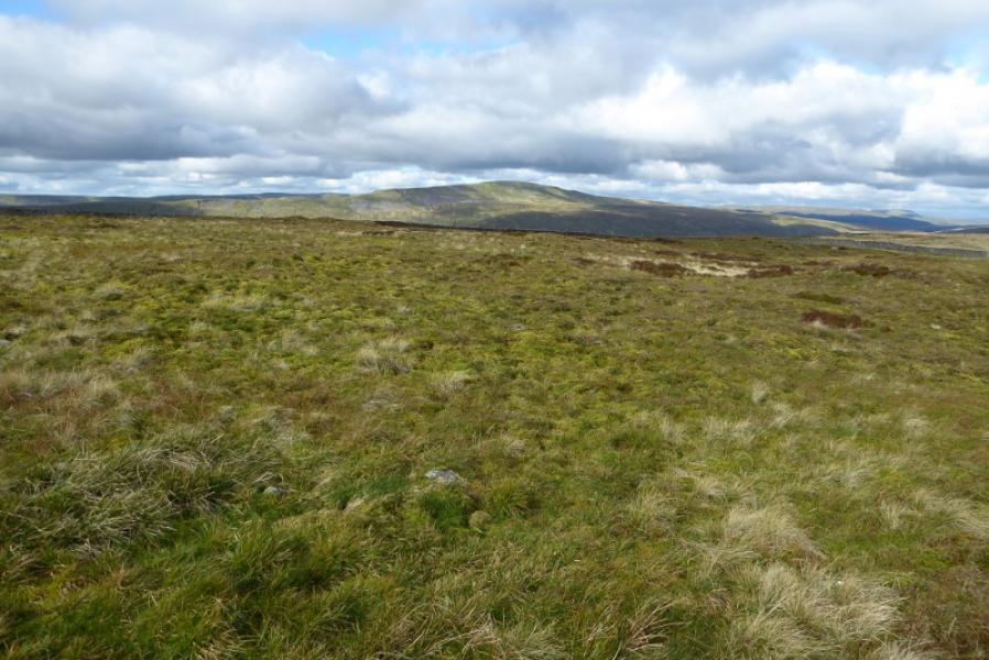
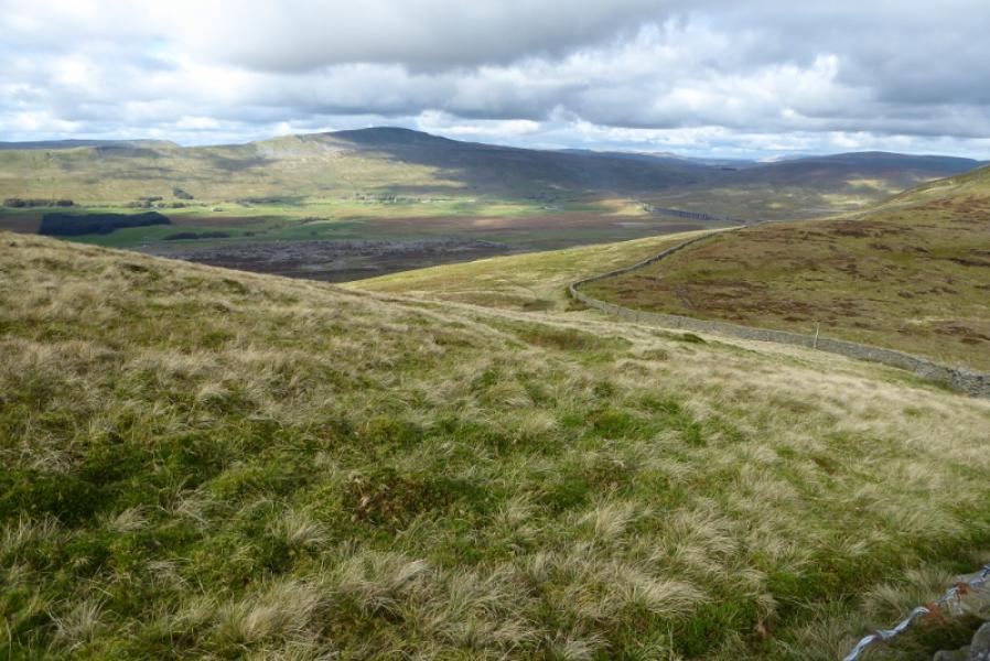
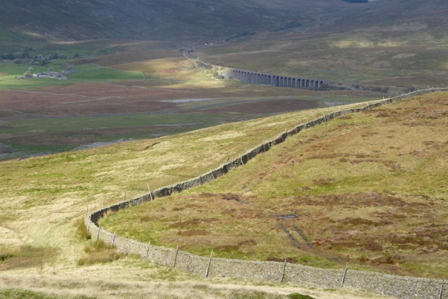
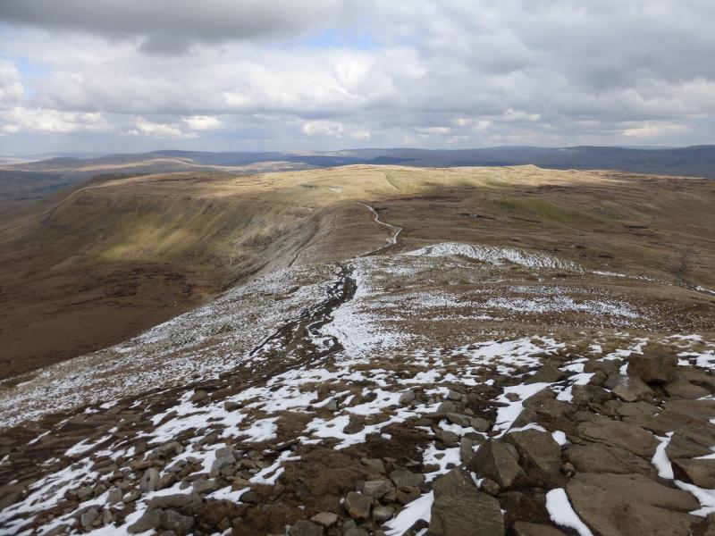
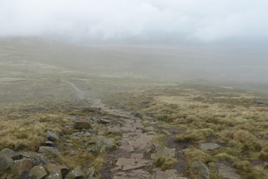
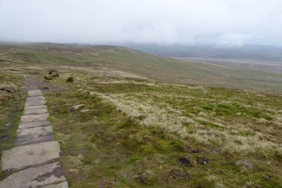
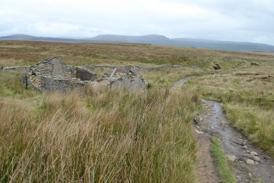
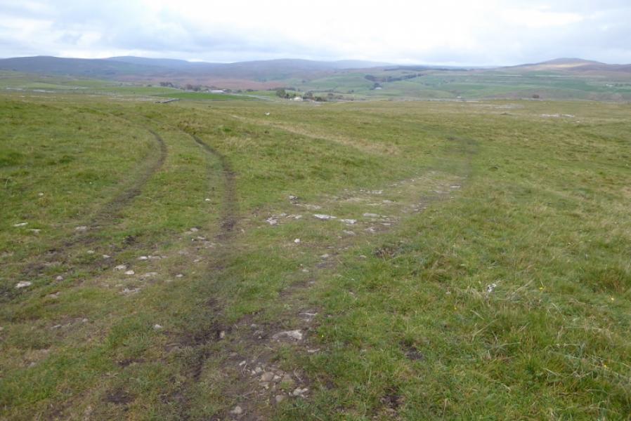
(7) Retrace to where the path first splits and take the right fork which is the Horton path. Be careful in thick mist to make sure you locate the correct path. The certain way is to walk due north from the shelter to reach the edge then go right, east, to pick up the path off the plateau. Follow the path down, steeply at first then more gradually across Simon Fell Breast to reach a wall with a small gate. Continue descending until you go through another wall lower down. Pass a path going off to the right. Soon after the path narrows, against the wall, and is quite stony and can be boggy. Reach another gate where the path becomes better. Continue down to reach a signpost at a crossroads. Turn left which is signed as the Pennine Bridleway. Follow the pleasant grassy track, forking right where it splits further on. In clear weather, the wind turbine near Borrins will soon be in sight and you will reach a gate, after which you can go right and rejoin the outward path near the ford then retrace back to the road.
Notes
(a) This walk took place on 15th October, 2020.
Photos - Hover over photo for caption. Click on to enlarge. Click on again to reduce.