Get Lost Mountaineering
You are here: England » Yorkshire Dales » Western Area
Ingleborough (only) from Horton-in-Ribblesdale
Ingleborough (only) from Horton-in-Ribblesdale
Start/Finish
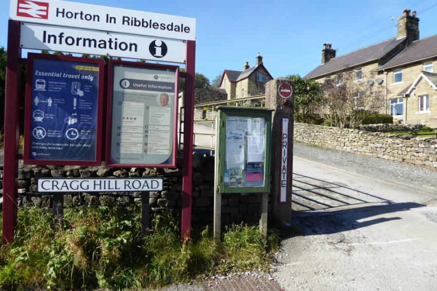
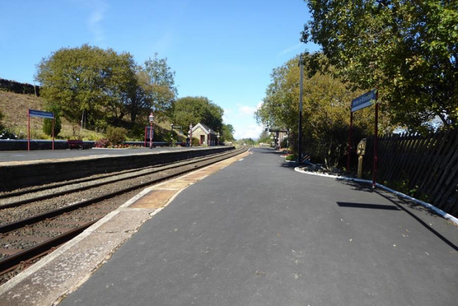
Horton-in-Ribblesdale station which is at the morth end of the Horton village about 6 miles north of Settle on the B6479. If approaching from the north, it is about the same distance from Ribblehead Viaduct which would be the approach if staying in either Sedbergh (via Dent and Dentdale) or Hawes (via Widdale). Horton can be very busy during the warmer months. There is a pay and display car park and a few extra private car parks. At quiet times, some road parking will be available.
Distance/Time
14 km About 5 – 6 hours
Peaks
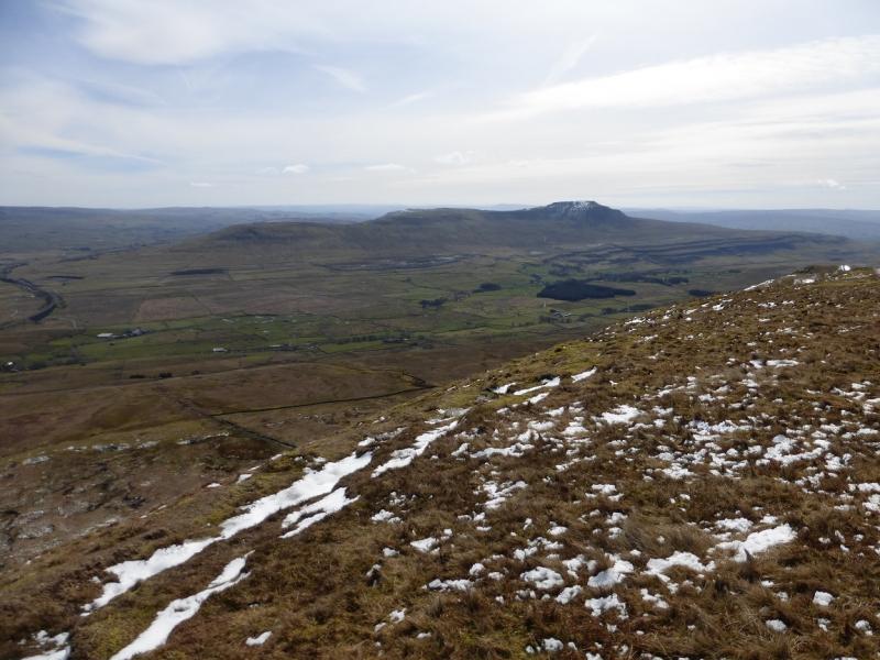
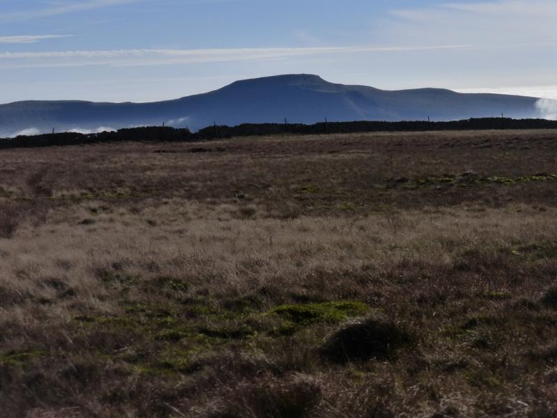
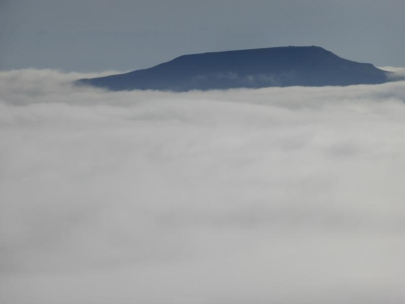
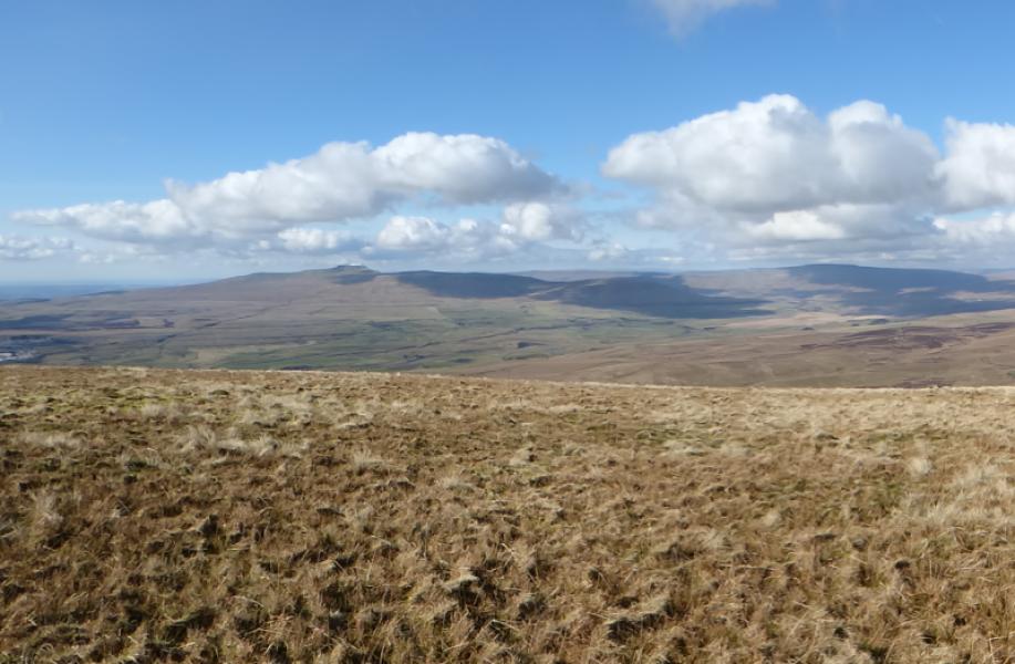
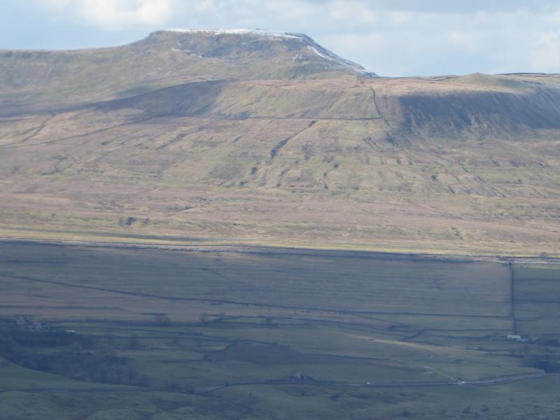
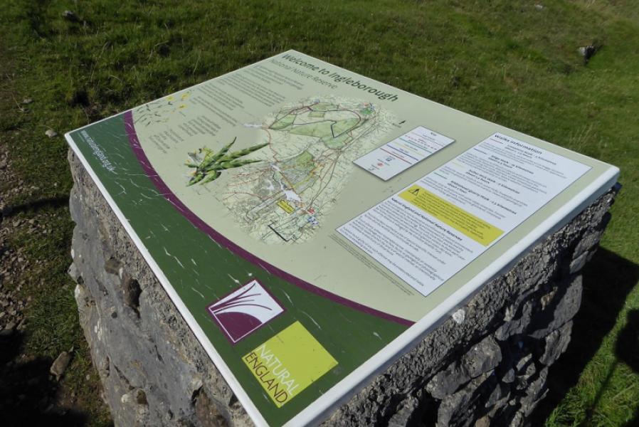
Ingleborough, 724 m, SD 741 746. OL2 Yorkshire Dales: Western Area
Introduction
Ingleborough is one of the famous “3 Peaks” with Pen-y-Ghent and Whernside being the other two. The main path can be muddy, narrow and stony in places.
Route
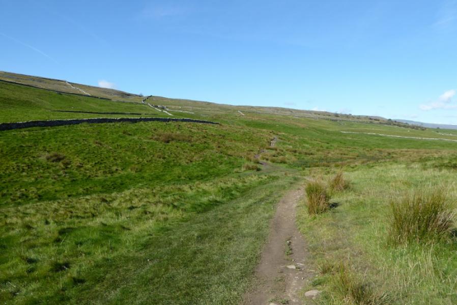
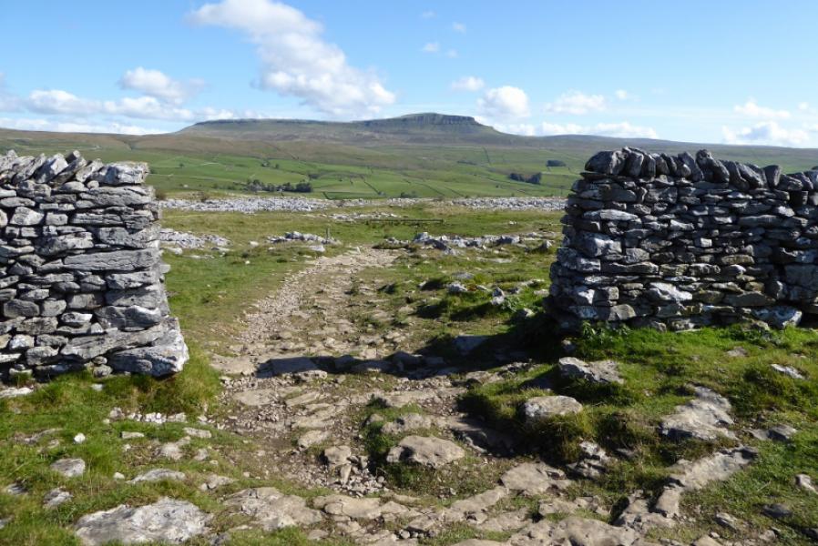
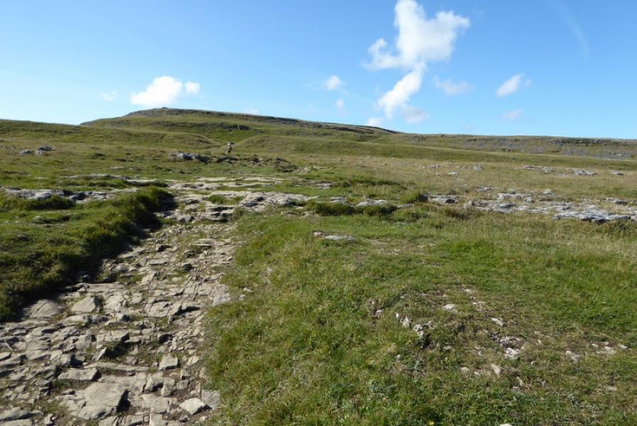
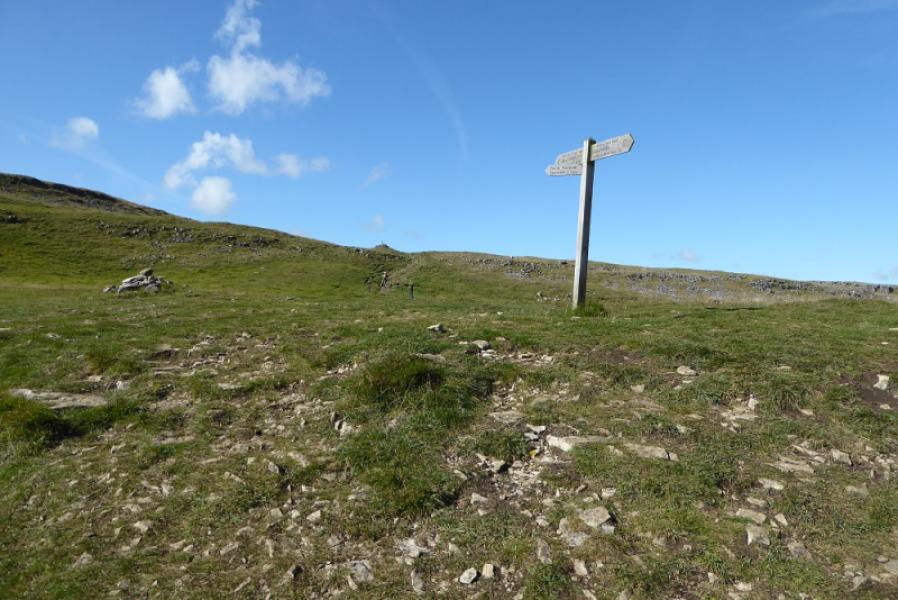
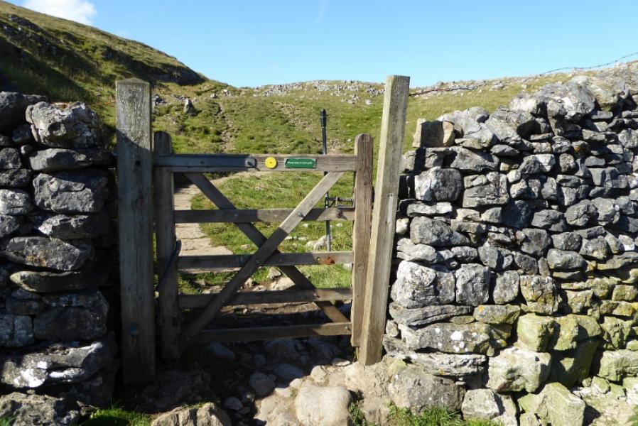
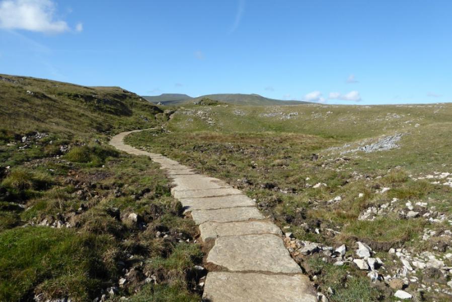
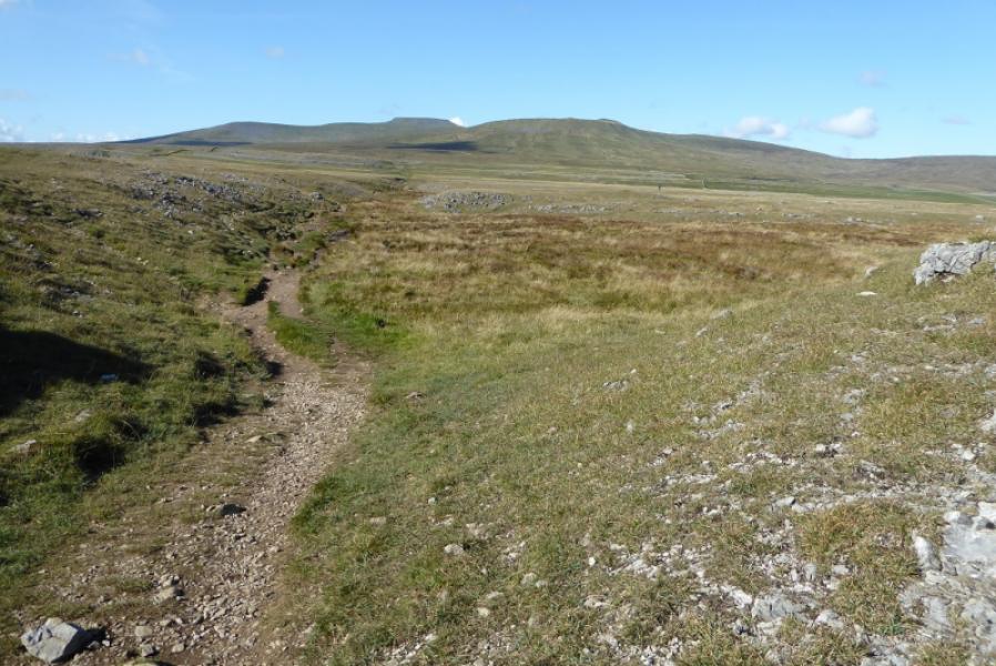
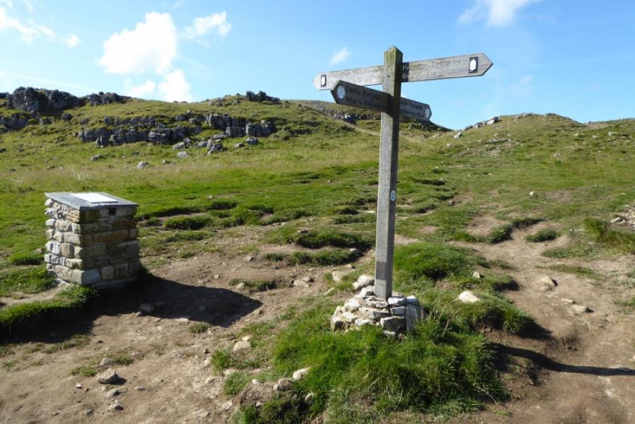
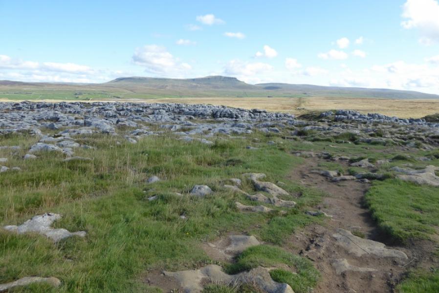
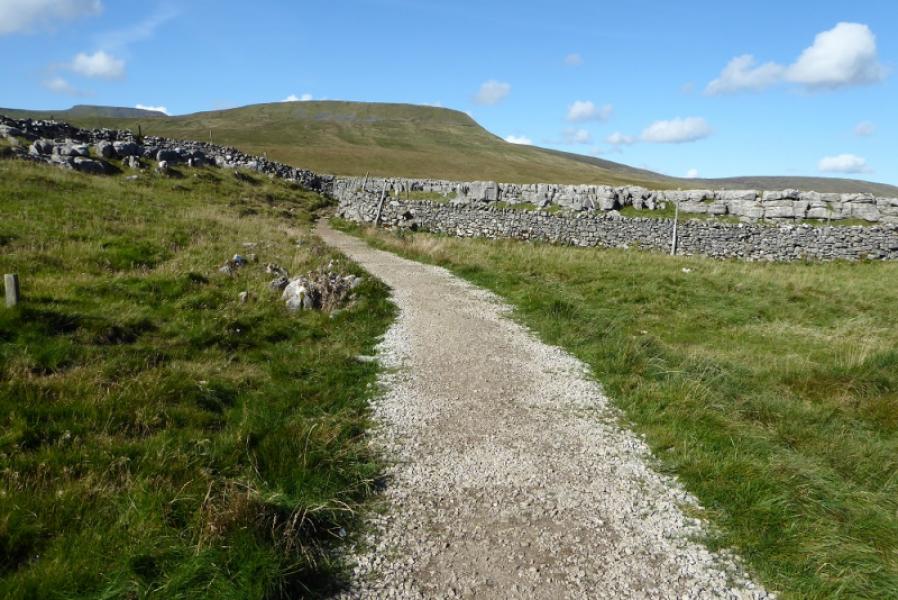
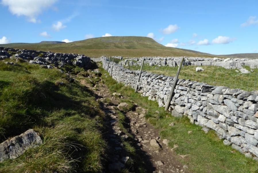
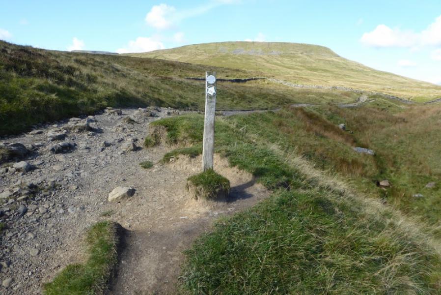
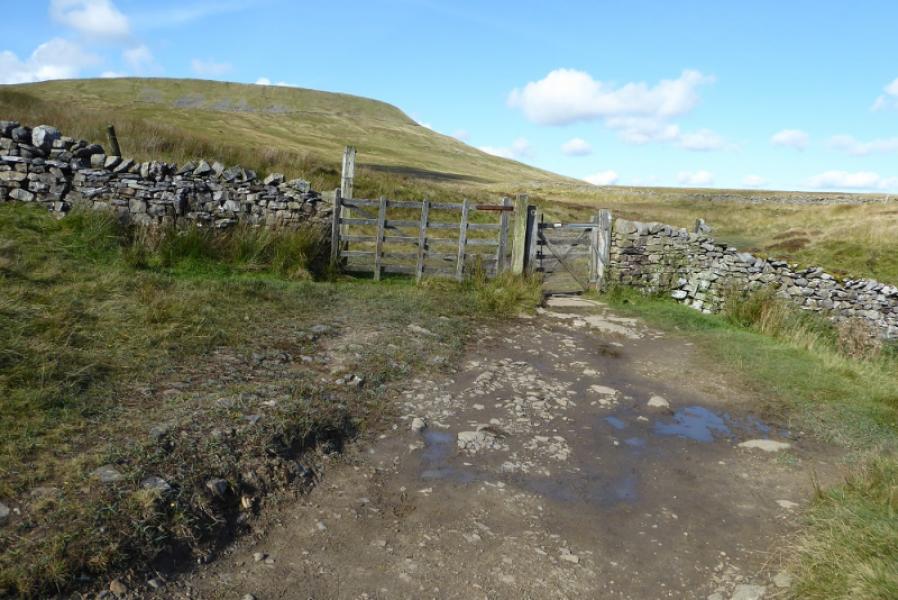
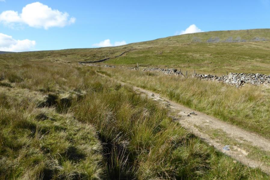
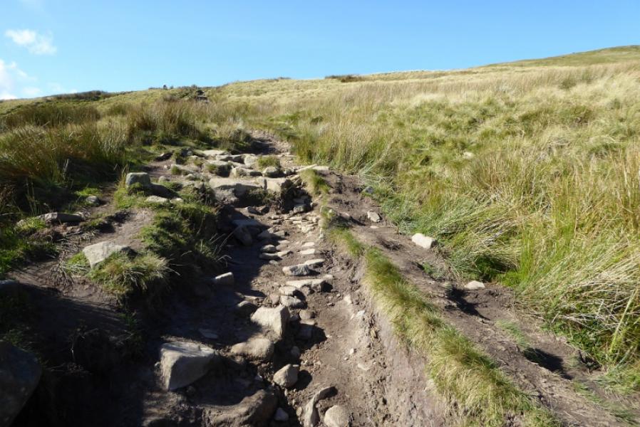
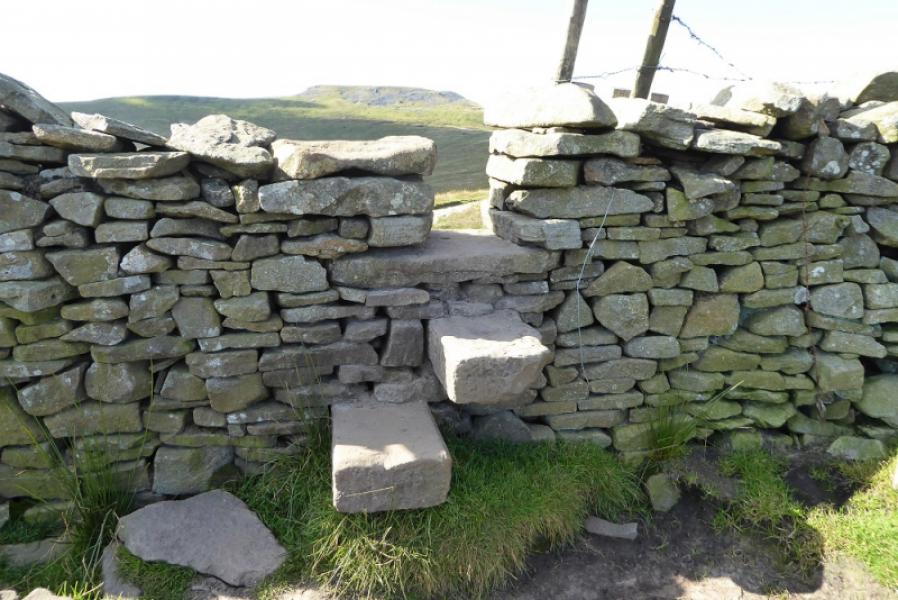
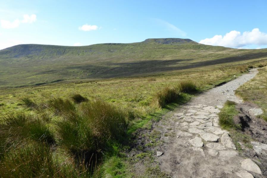
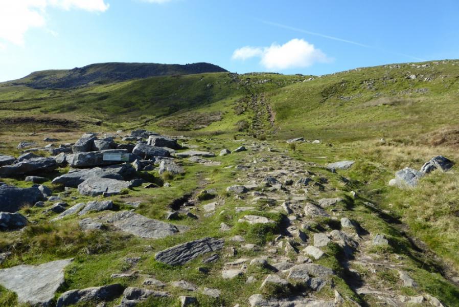
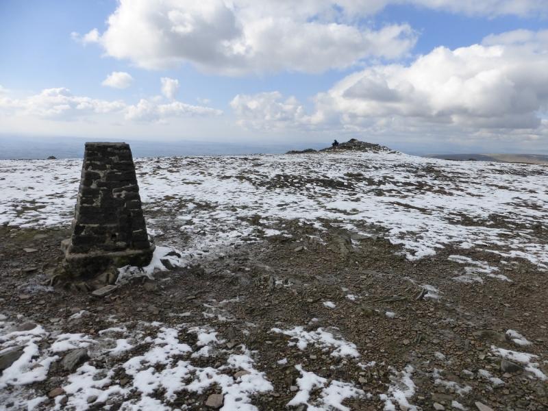
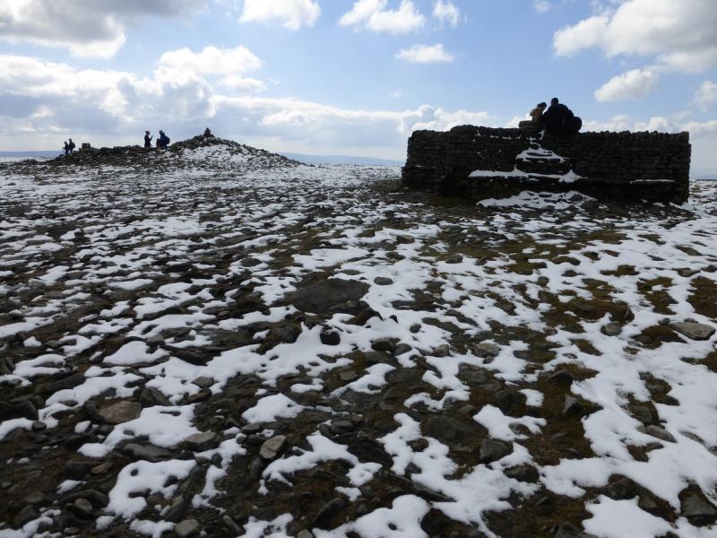
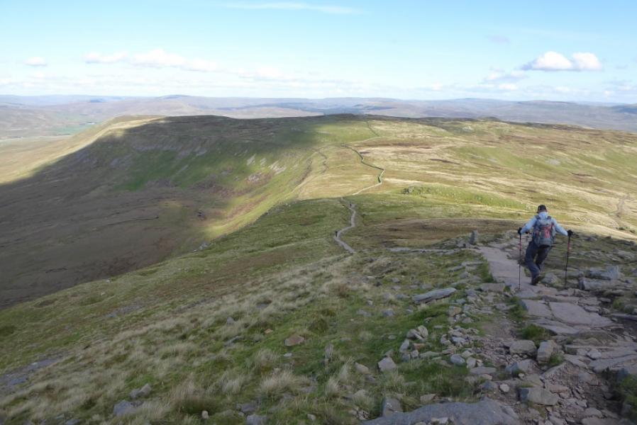
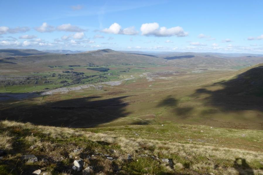
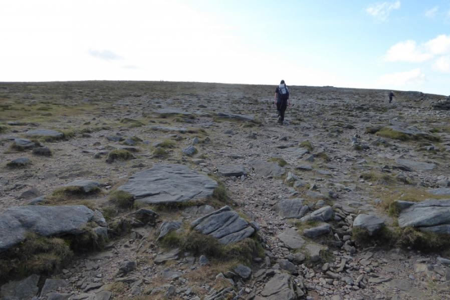
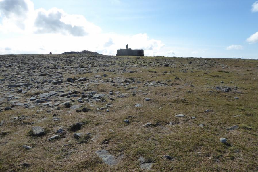
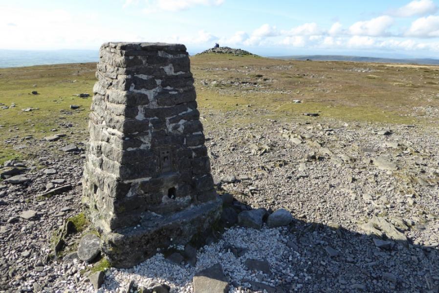
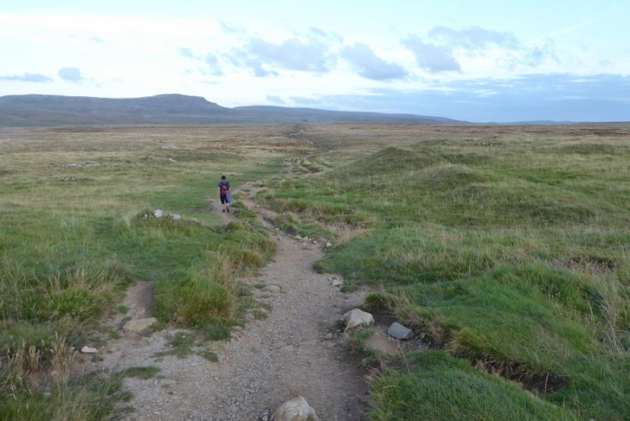
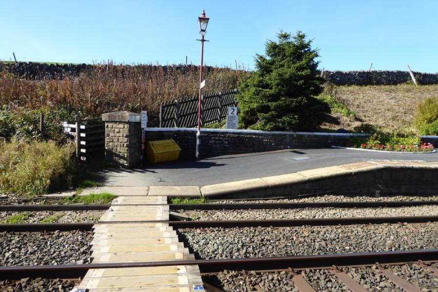
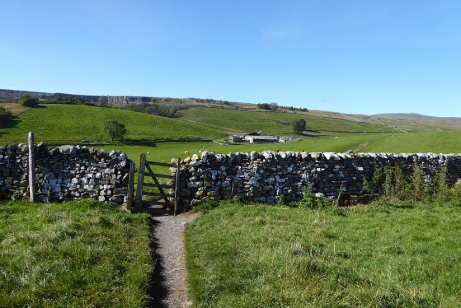
(1) Walk up to the station and go through a small gate to gain the south end of the platform. Cross the line and continue on a path which eventually leads all the way to Ingleborough. Follow the narrow path, roughly WNW, passing a sign for Austwick, to reach a wide and shallow groove known as Sulber Nick. Continue to pass a sign for Clapham. Continue and pass through a wall. Continue up rising ground to cross the wall at Fell Beck Head. Continue on Simon Fell Breast to join the path coming from Simon Fell then make the final ascent up onto the Ingleborough plateau. In mist, head roughly WSW to find the trig point with the true summit, a wide cairn, close by which marks the summit of Ingleborough, 724 m. There are other cairns and a shelter cairn.
(2) Retrace the outward route.
Notes
(a) This walk mainly took place on 29th September, 2020.
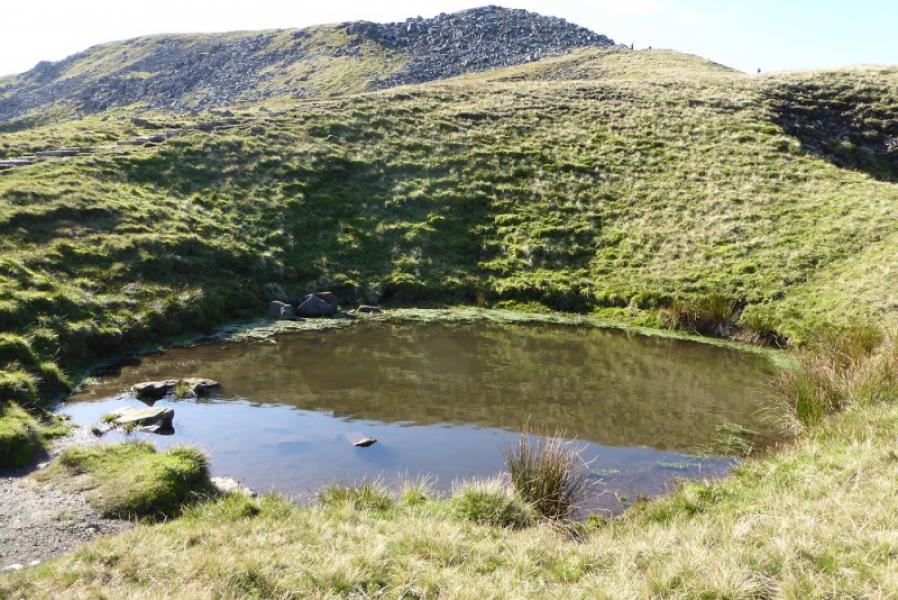
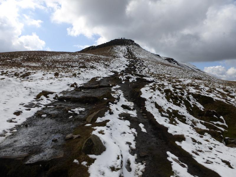
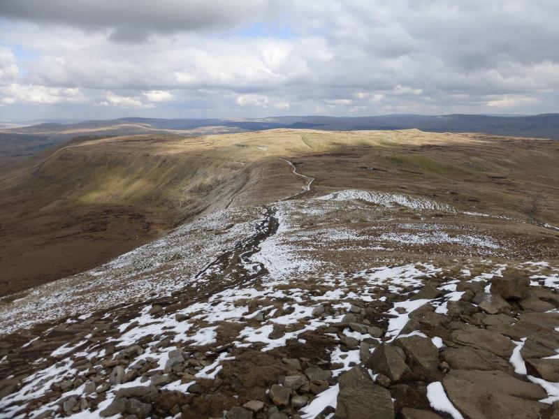
Photos - Hover over photo for caption. Click on to enlarge. Click on again to reduce.