Get Lost Mountaineering
You are here: England » Yorkshire Dales » Western Area
Ingleborough via Juniper Gulf, Little Ingleborough, Gaping Gill and Trow Gill from Horton-in-Ribblesdale
Ingleborough via Juniper Gulf, Little Ingleborough, Gaping Gill and Trow Gill from Horton-in-Ribblesdale
Start/Finish
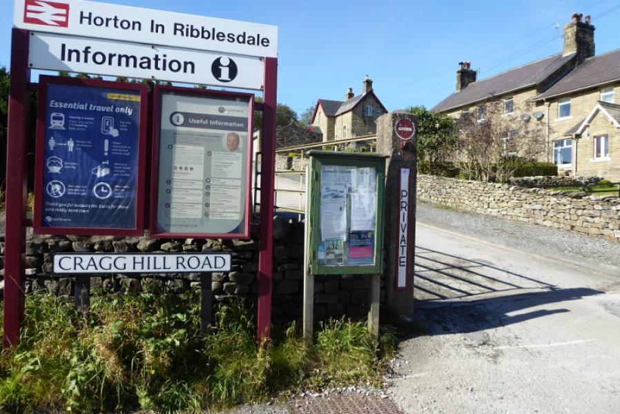
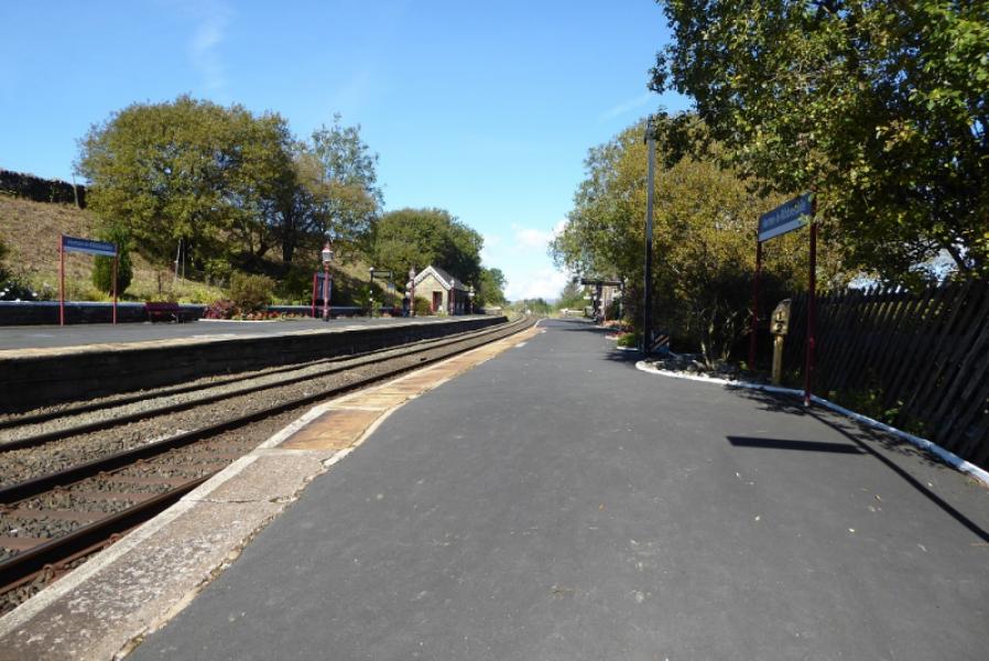
Horton-in-Ribblesdale station which is at the morth end of the Horton village about 6 miles north of Settle on the B6479. If approaching from the north, it is about the same distance from Ribblehead Viaduct which would be the approach if staying in either Sedbergh (via Dent and Dentdale) or Hawes (via Widdale). Horton can be very busy during the warmer months. There is a pay and display car park and a few extra private car parks. At quiet times, some road parking will be available.
Distance/Time
19 km About 6 – 7 hours
Peaks
Ingleborough, 724 m, SD 741 746. OL2 Yorkshire Dales: Western Area
Introduction
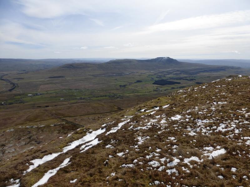
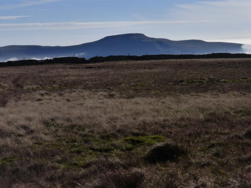
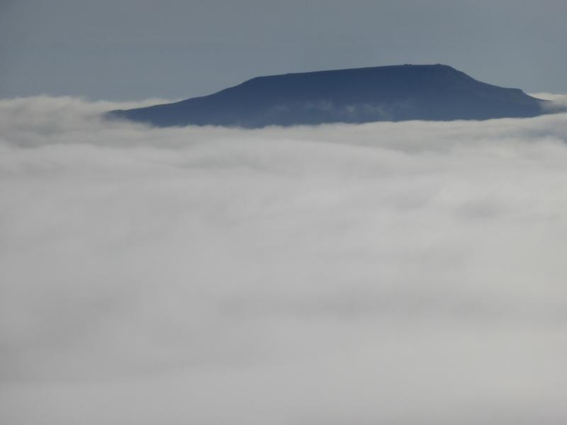
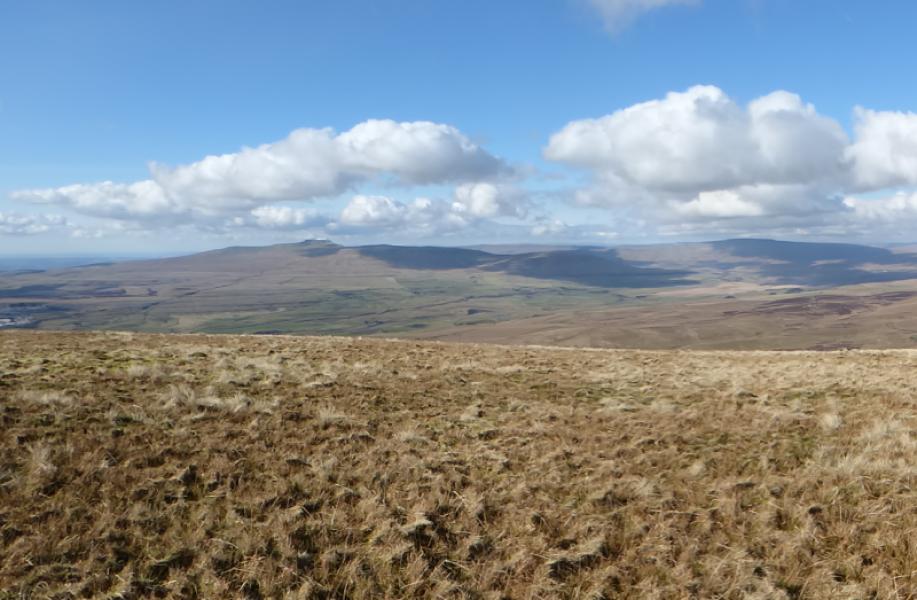
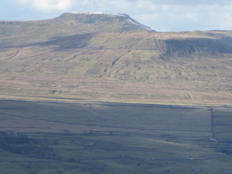
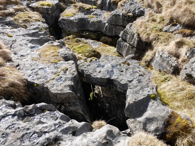
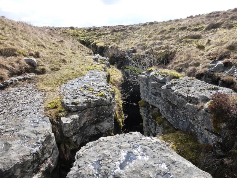
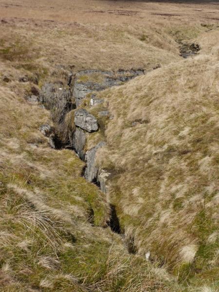
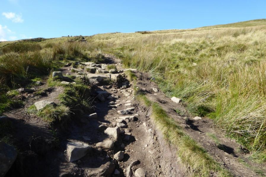
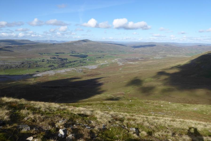
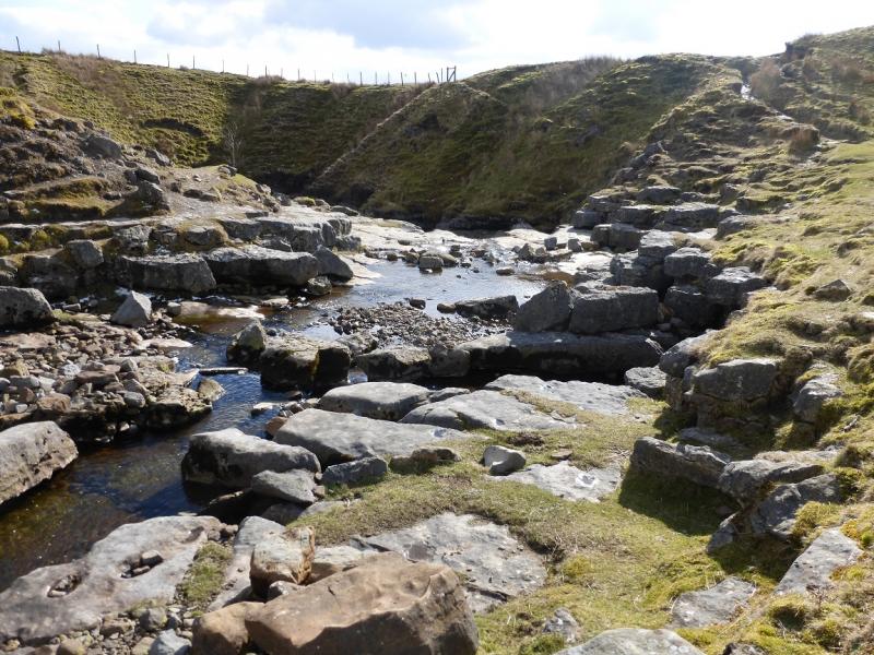
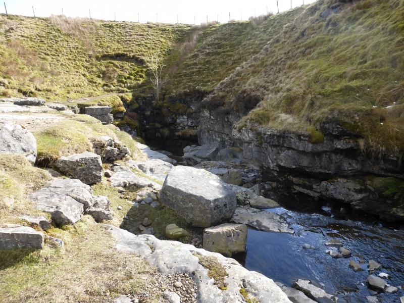
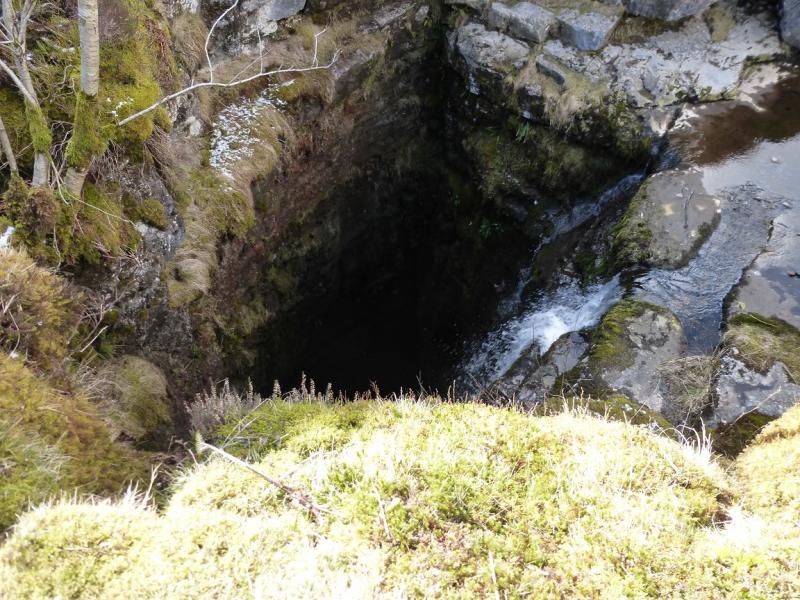
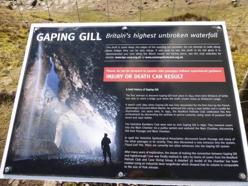
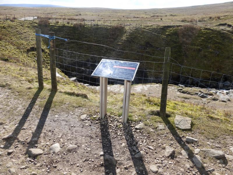
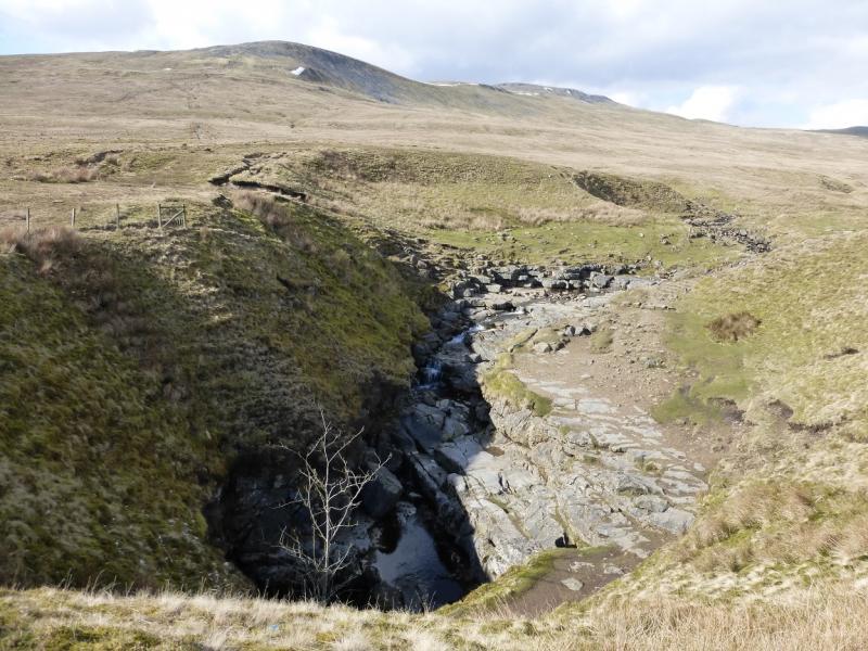
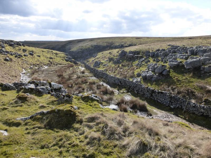
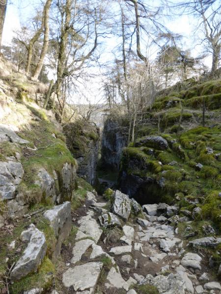
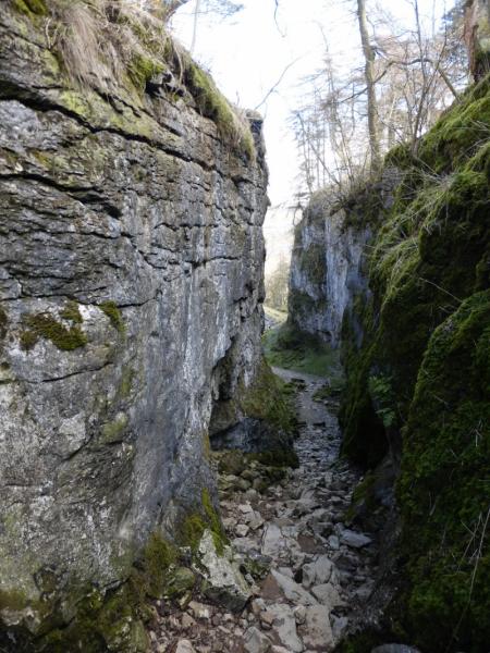
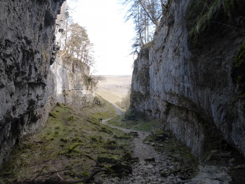
Ingleborough is one of the famous “3 Peaks” with Pen-y-Ghent and Whernside being the other two. This route takes in more than just Ingleborough. Juniper Gulf is not that easy to find but is well worth looking for as it it is a very narrow rocky cleft in the ground. Gaping Gill is very well known being, allegedly, large enough to hold York Minster. Trow Gill is a very high, dry limestone gorge. The main path can be muddy, narrow and stony in places.
Route
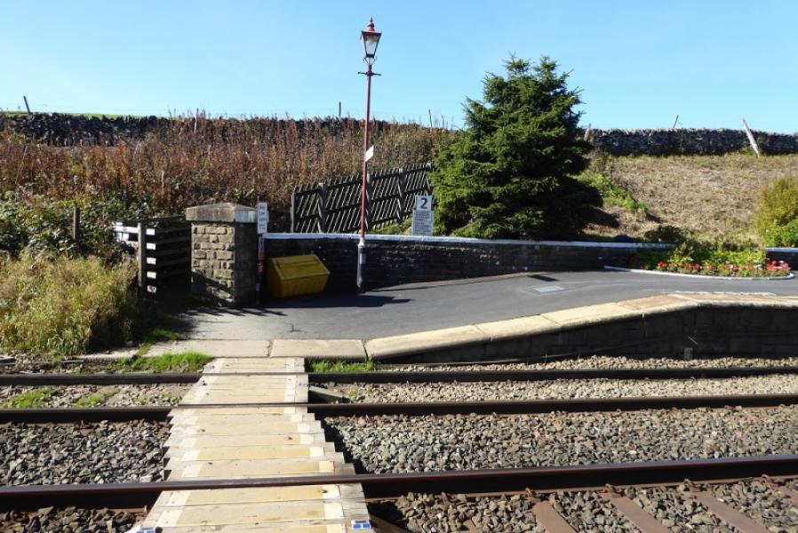
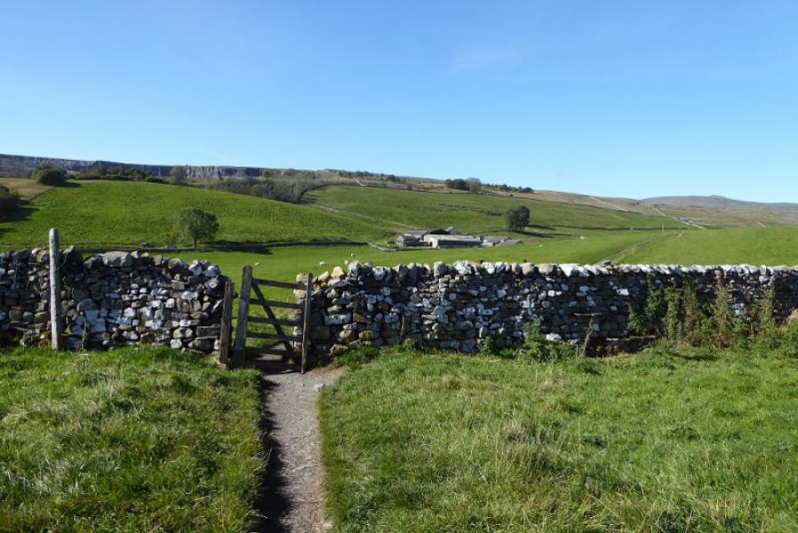
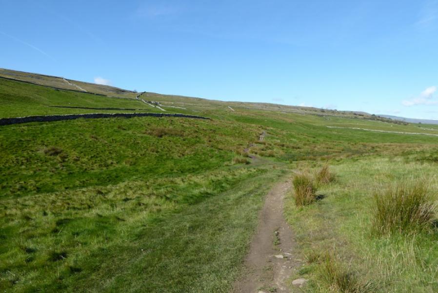
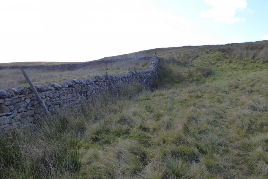
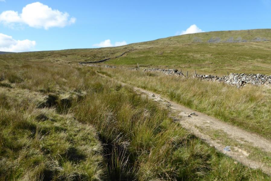
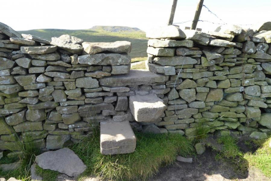
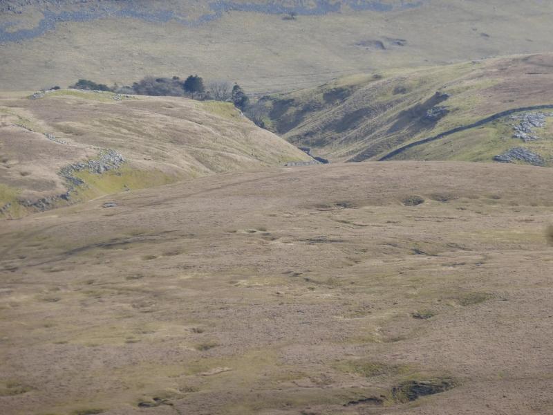
(1) Walk up to the station and go through a small gate to gain the south end of the platform. Cross the line and continue on a path which eventually leads all the way to Ingleborough. Follow the narrow path, roughly WNW, passing a sign for Austwick, to reach a wide and shallow groove known as Sulber Nick. Continue to pass a sign for Clapham. Continue and pass through a wall. Soon after, the path turns right and passes through another wall. Leave the main path here and follow the wall, roughly south, for about 500 m then look west for a small stream which is not easy to find. Follow the stream down to Juniper Gulf where it disappears underground. The gulf is very deep so take care around its edges.
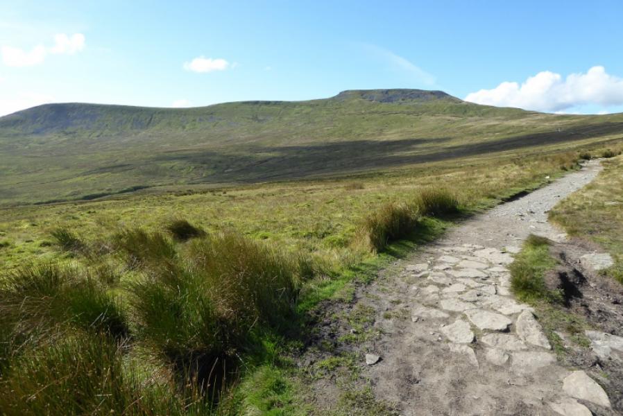
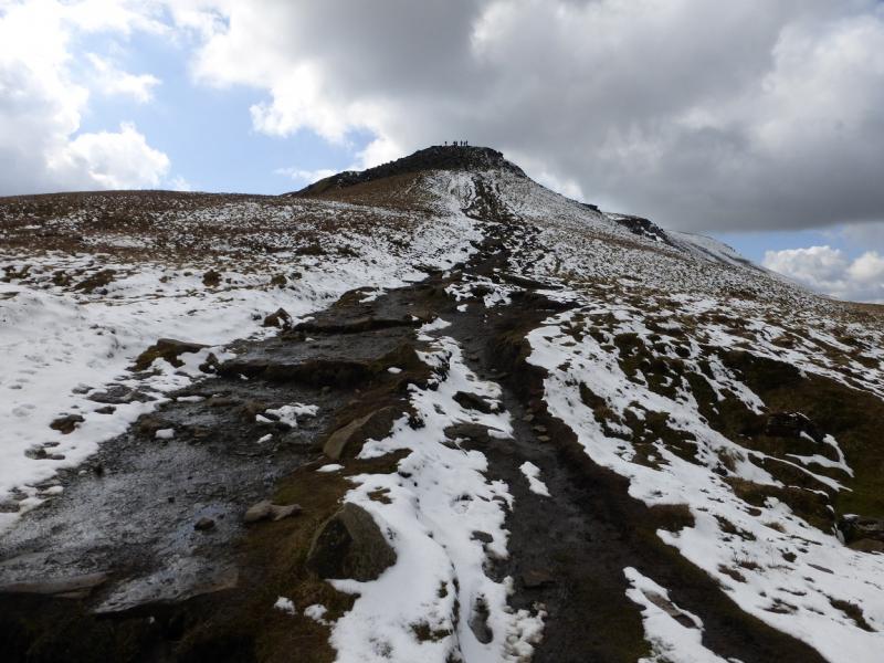
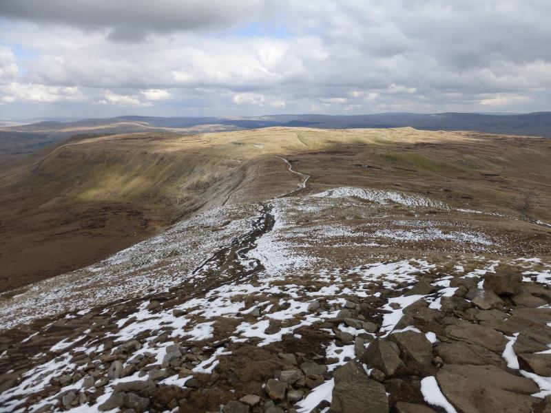
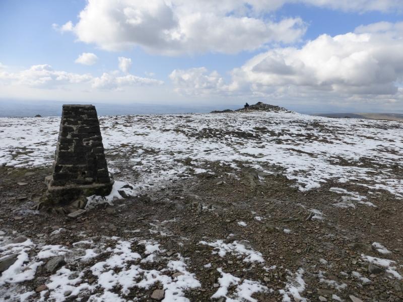
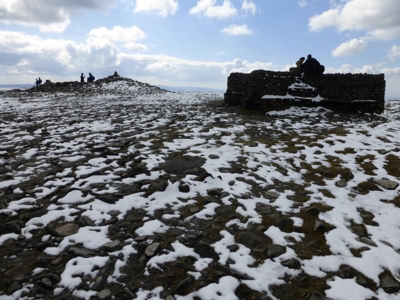
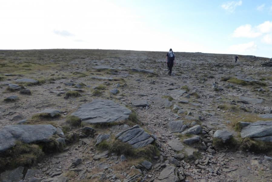
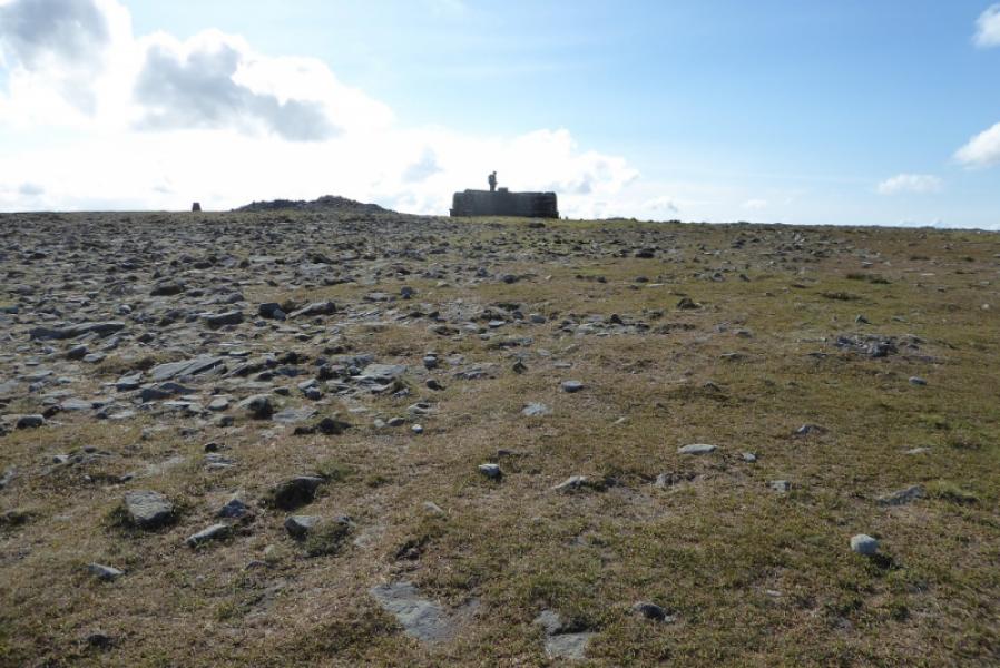
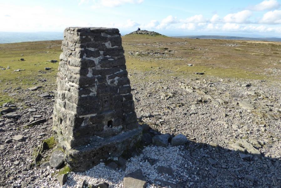
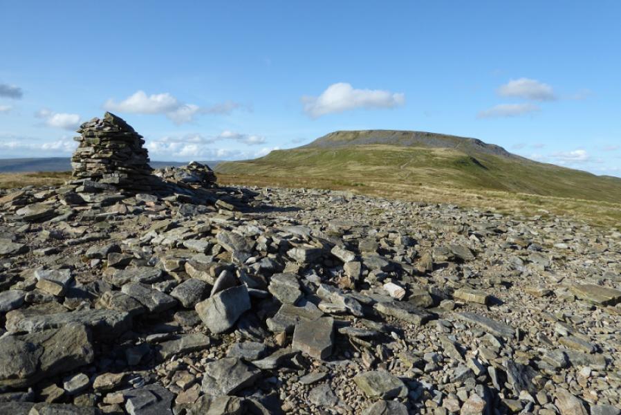
(2) Retrace back along the wall to the main path. Turn left and head up rising ground to cross the wall at Fell Beck Head. Continue on Simon Fell Breast to join the path coming from Simon Fell then make the final ascent up onto the Ingleborough plateau. In mist, head roughly WSW to find the trig point with the true summit, a wide cairn, close by which marks the summit of Ingleborough, 724 m. There are other cairns and a shelter cairn.
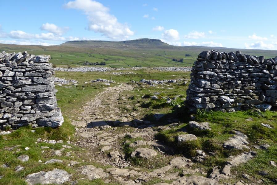
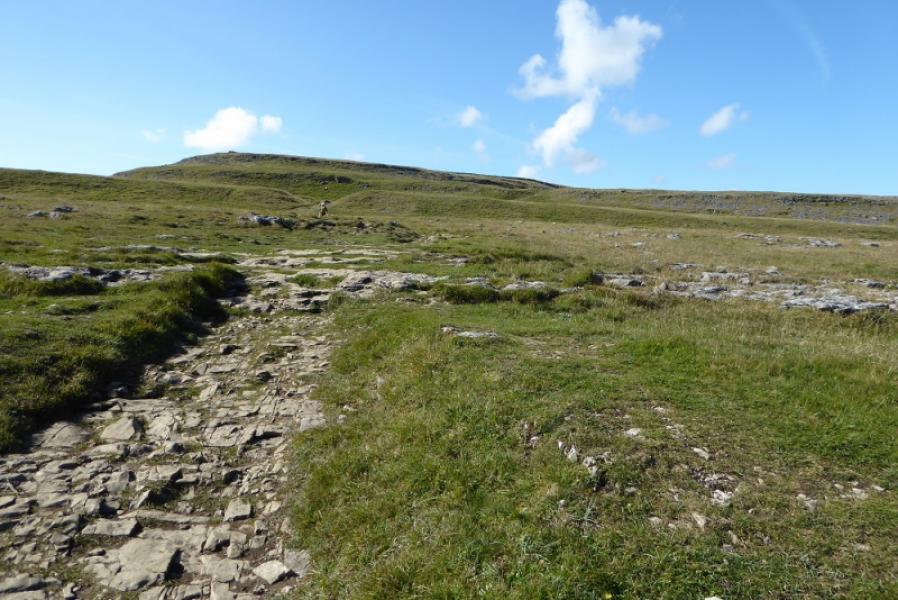
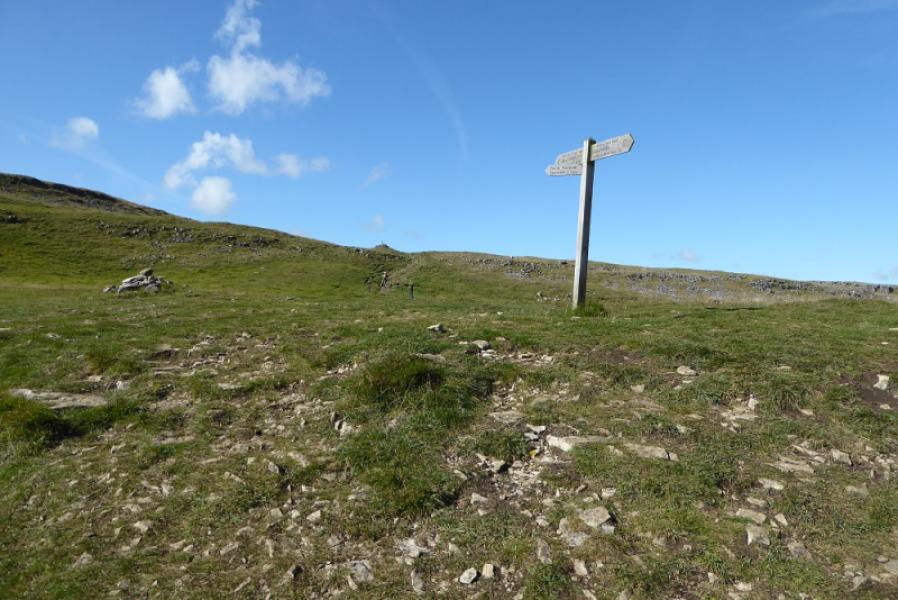
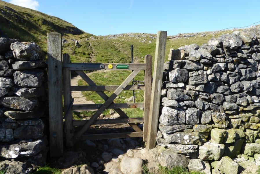
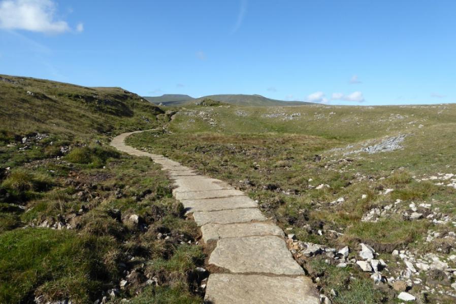
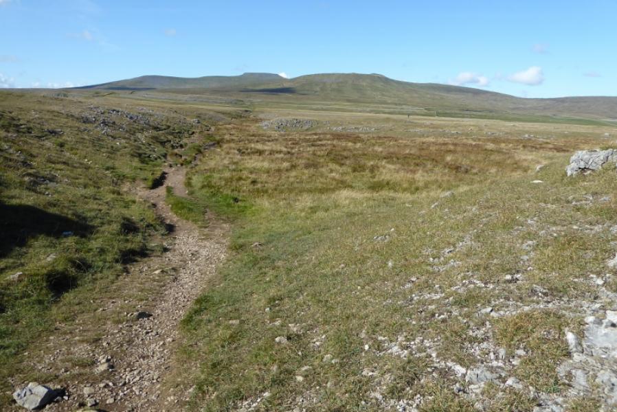
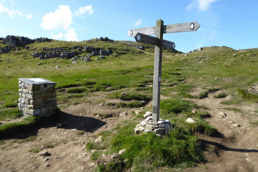
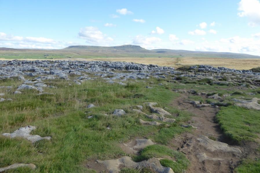
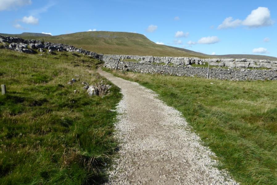
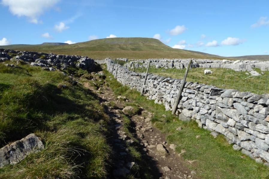
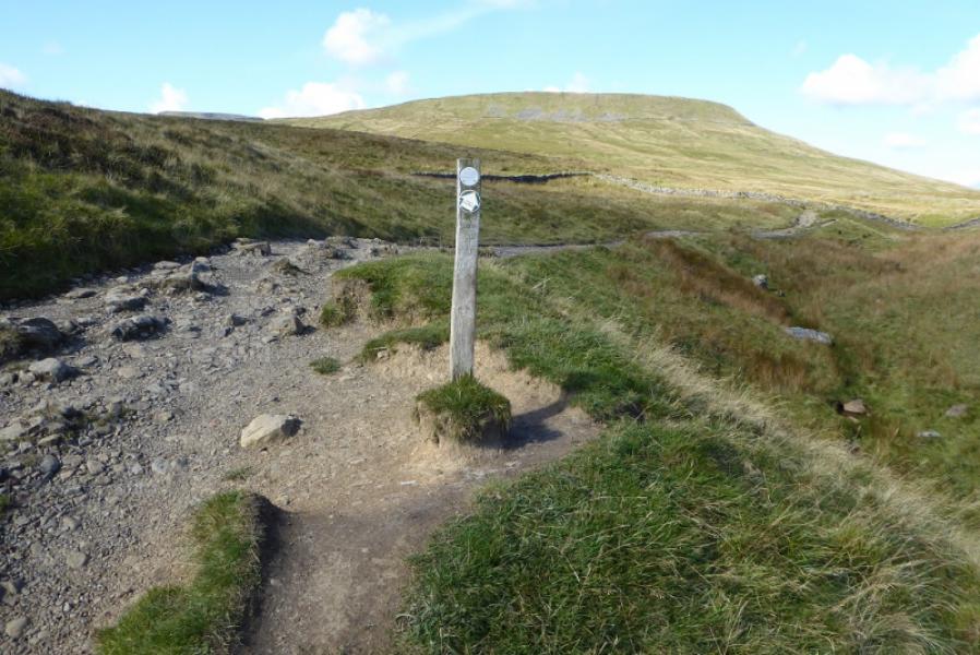
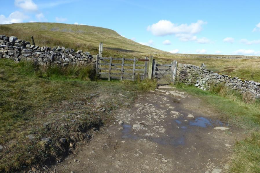
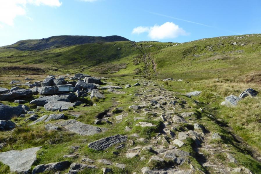
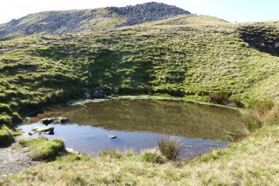
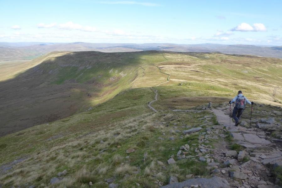
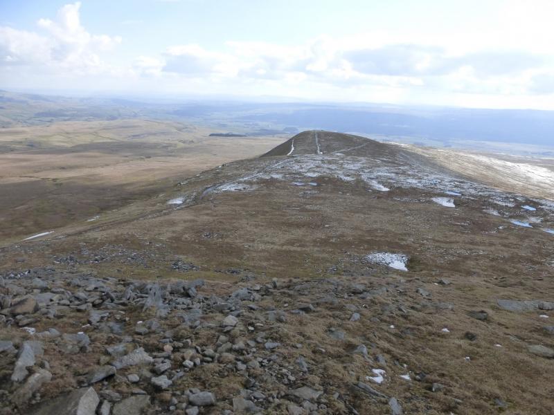
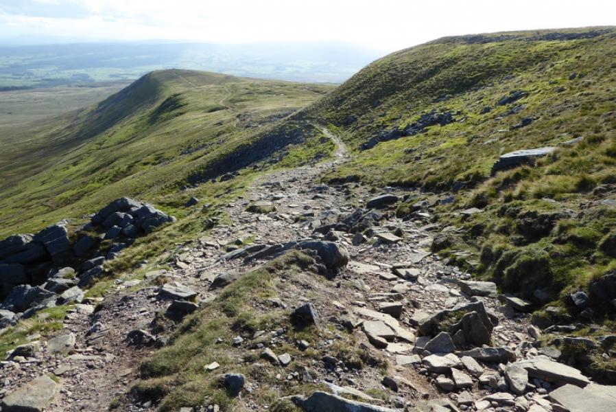
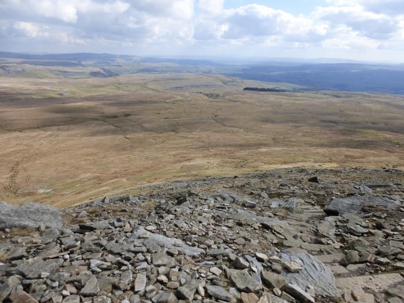
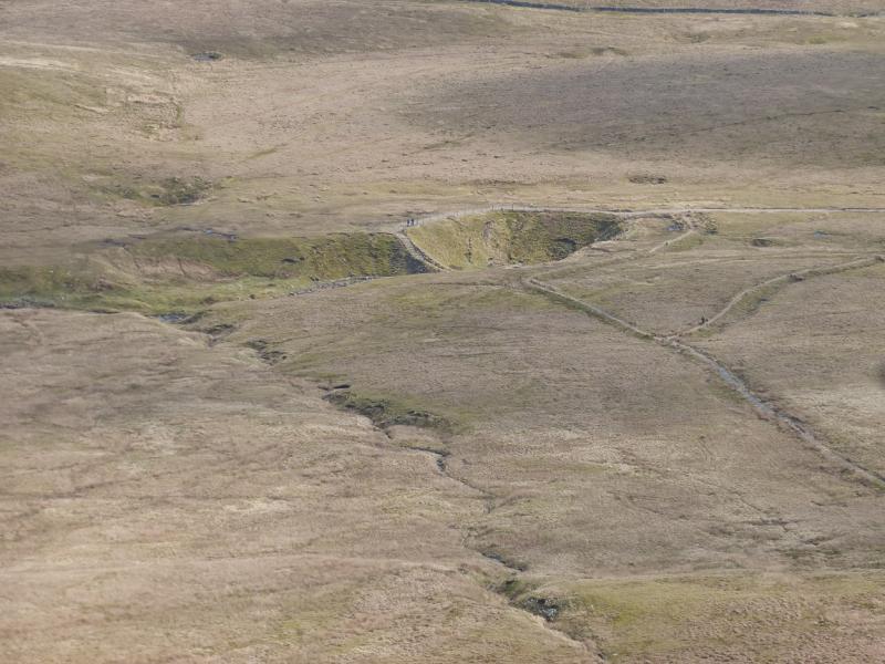
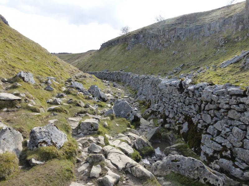
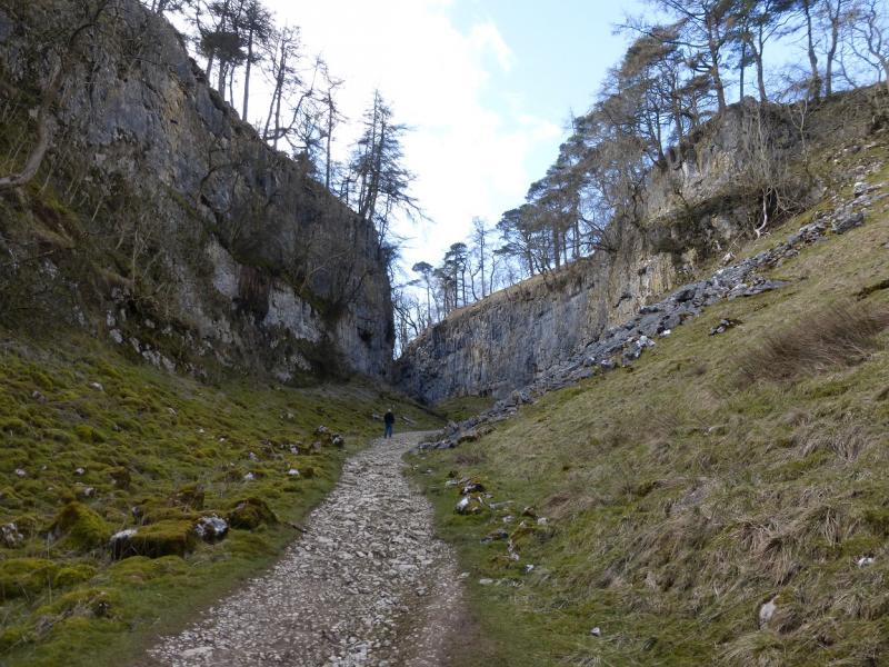
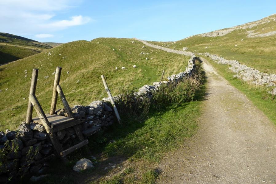
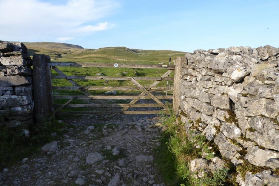
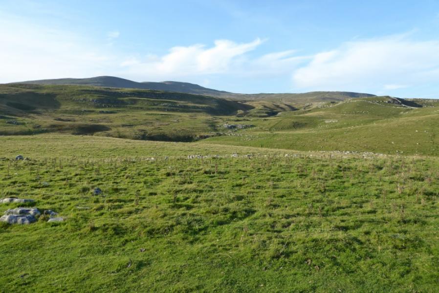
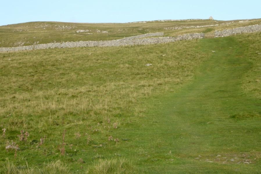
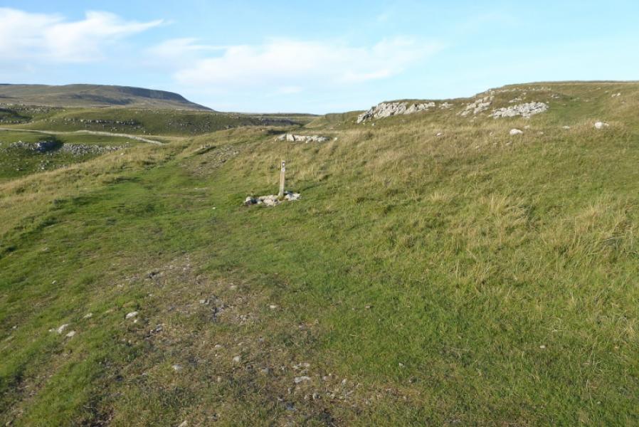
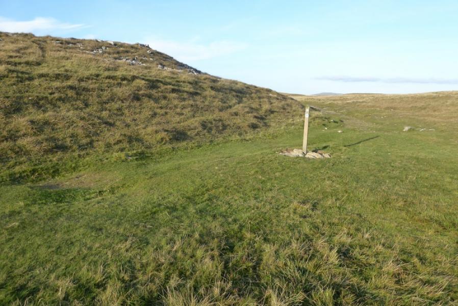
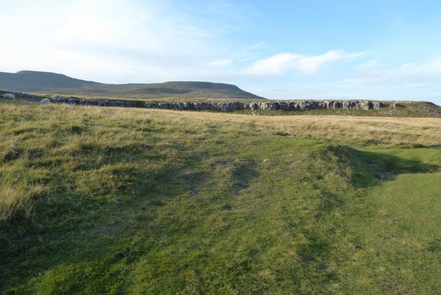
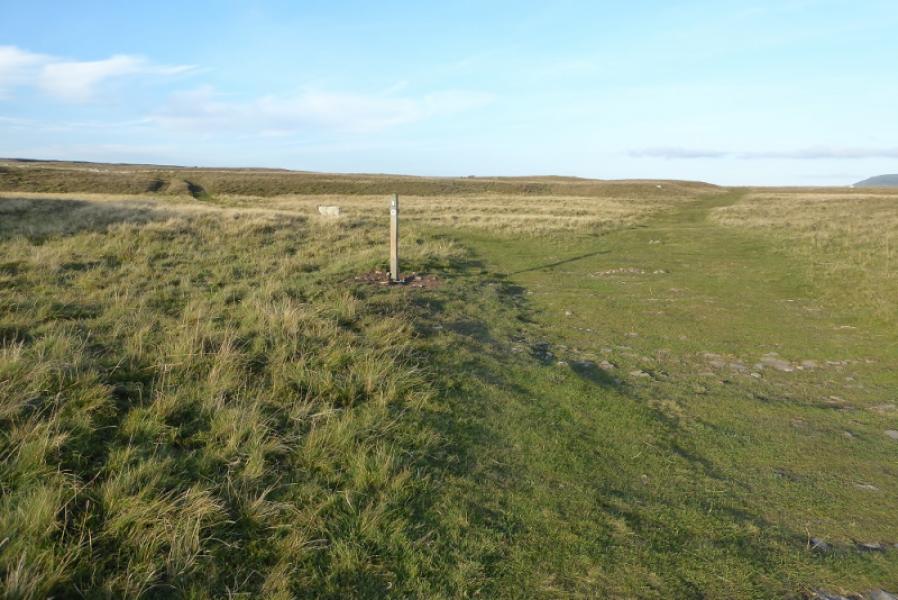
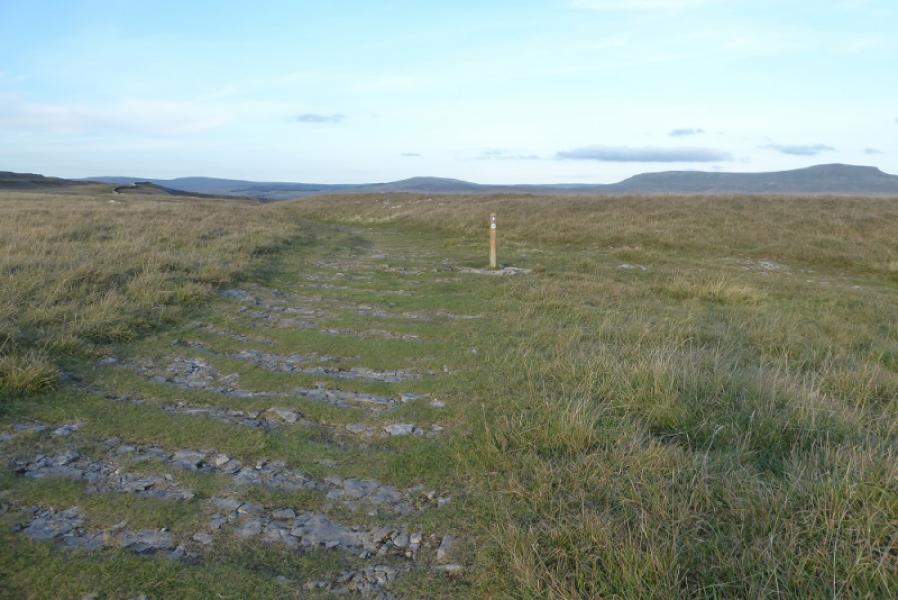
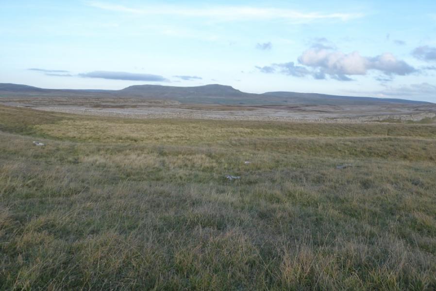
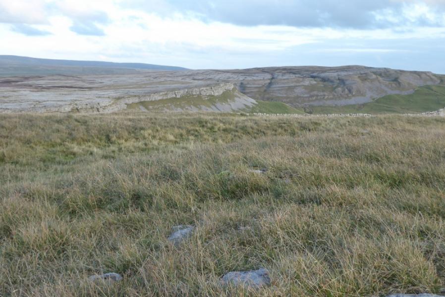
(3) Walk E from the summit to the edge of the plateau to find a cairn and a path which drops off the plateau and goes S to Little Ingleborough where the path splits. Take the left fork going SE and descend steeply on a stepped path which becomes stepped slabs lower down. This path leads to Gaping Gill where Fell Beck goes into a hole about 100 m deep. The area around Gaping Gill is only partially fenced off so be very careful as a path goes to a very exposed position. Falling into the hole would be fatal given the drop so don't get too close to the edge. Continue S, on the obvious path which enters a dry limestone valley after crossing a wall. The path follows a wall down the valley and is quite stony. Almost at the bottom, high limestone cliffs appear on both sides. This is Trow Gill. Continue down and follow the path which bends right after exiting Trow Gill. Either cross the stile on the left or use the gate a little further to reach another stile slightly higher up. Cross this to reach an obvious lane, Pennine Bridleway, not seen because of the wall crossed by the stile. Turn left and follow this to a gate, after which the track becomes more grassy. Continue following the the track, roughly ENE, until it splits. Take the left fork which traverses to the left of the hill with an obvious cairn on it. There is a path over the hill if you wish to take it which rejoins the track later. Continue on the Pennine Bridleway. There are marker posts, many with an acorn symbol. Reach a diamond crossing and take the right fork, NNE, and follow it to Sulber Gate passing a low limestone cliff on the left and open views of limestone cliffs and pavements off to the right. Continue after Sulber Gate to reach the outer route at the sign for Clapham passed earlier. Turn right and retrace through Sulber Nick to Horton.
Notes
(a) This walk took place on 29th September, 2020.
Photos - Hover over photo for caption. Click on to enlarge. Click on again to reduce.