Get Lost Mountaineering
You are here: England » Yorkshire Dales » Western Area
Pen-y-Ghent, Plover Hill & Hunt Pot from Horton-in-Ribblesdale
Pen-y-Ghent, Plover Hill & Hunt Pot from Horton-in-Ribblesdale
Start/Finish
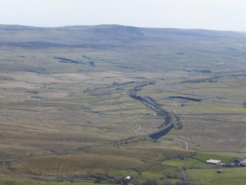
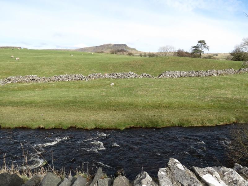
Horton-in-Ribblesdale which is about 6 miles north of Settle on the B6479. If approaching from the north, it is about the same distance from Ribblehead Viaduct which would be the approach if staying in either Sedbergh (via Dent and Dentdale) or Hawes (via Widdale). Horton can be very busy during the warmer months. There is a pay and display car park and a few extra private car parks. Out of season, it is best to park at the south end of the village just over Horton Bridge (on the Settle side) if possible. The famous Settle to Carlisle railway line goes through Horton-in-Ribblesdale and one could reach the village this way.
Distance/Time
15 km. About 4 – 5 hours.
Peaks
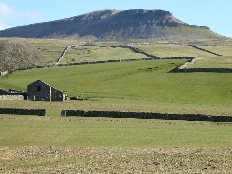
Pen-y-Ghent, 694 m, SD 888 734.
Plover Hill, 680 m, SD 849 752.
OL2 Yorkshire Dales: Western Area
Introduction
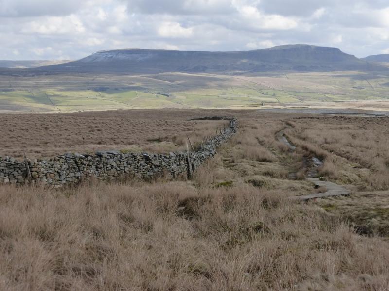
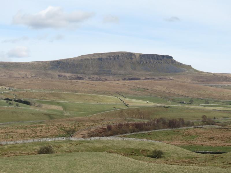
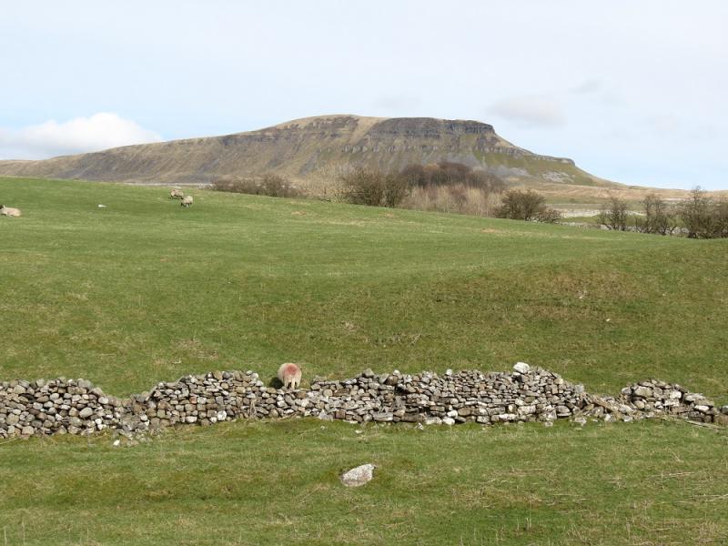
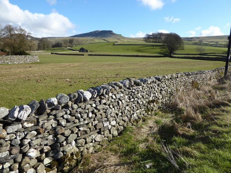
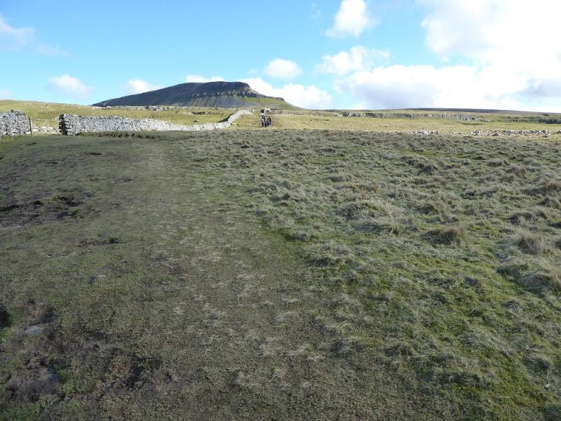
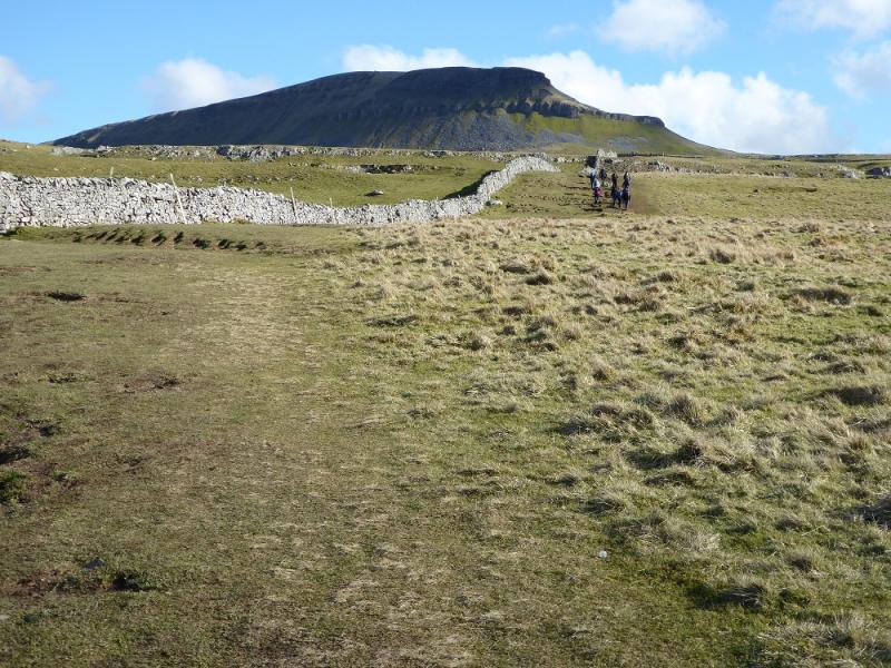
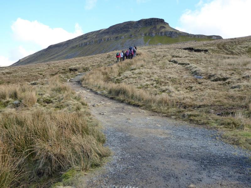
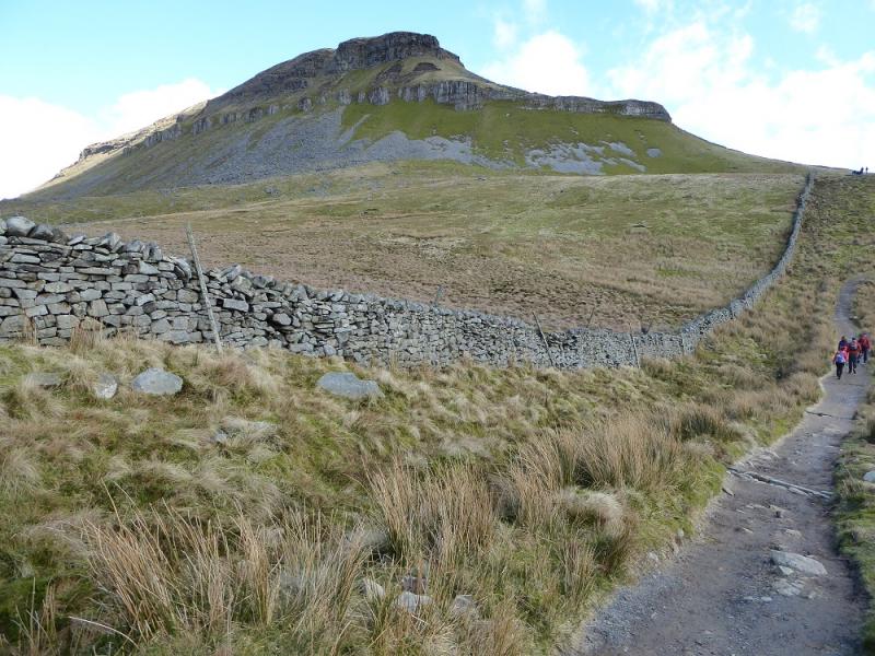
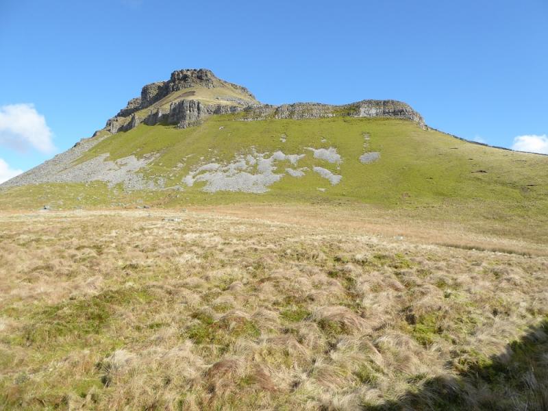
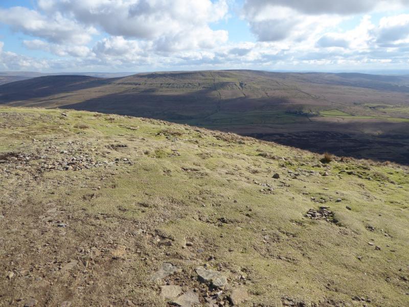
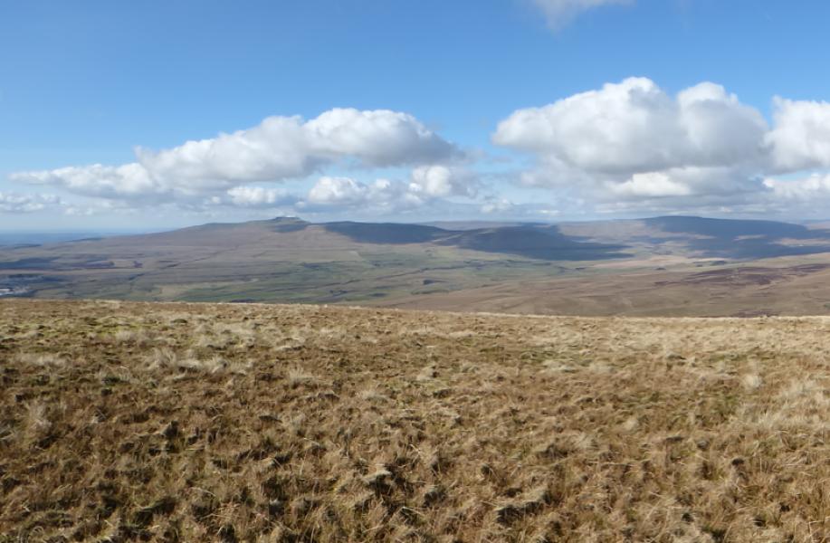
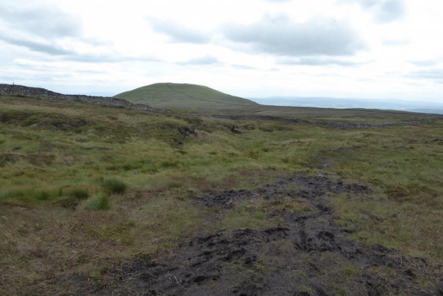
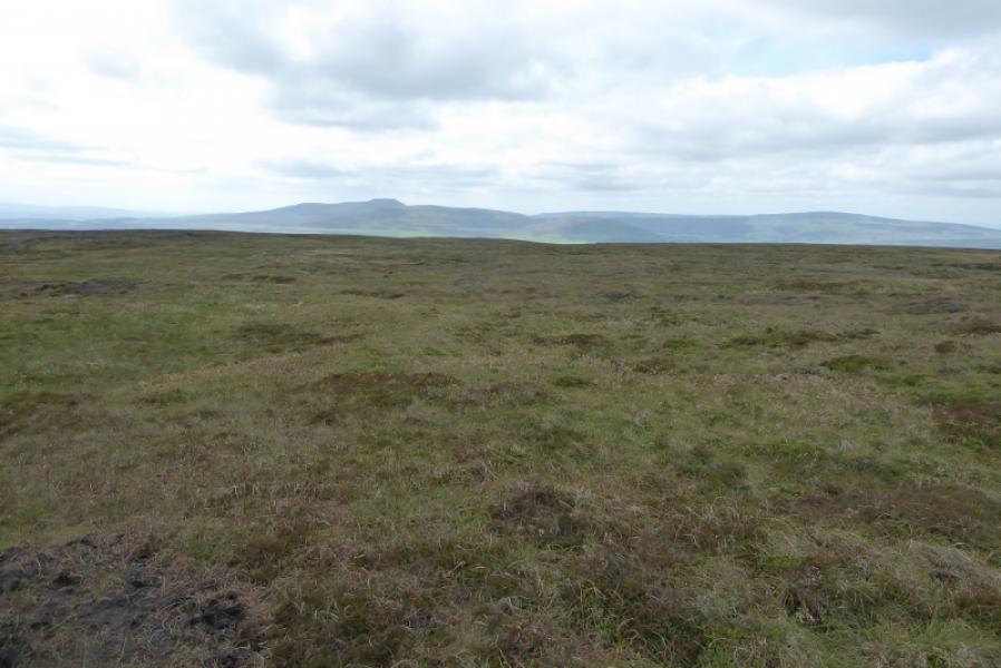
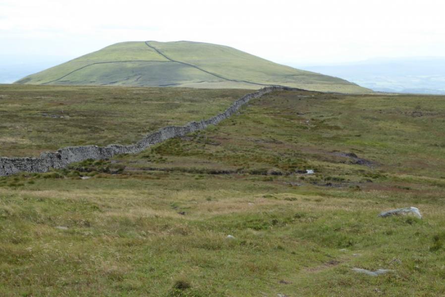
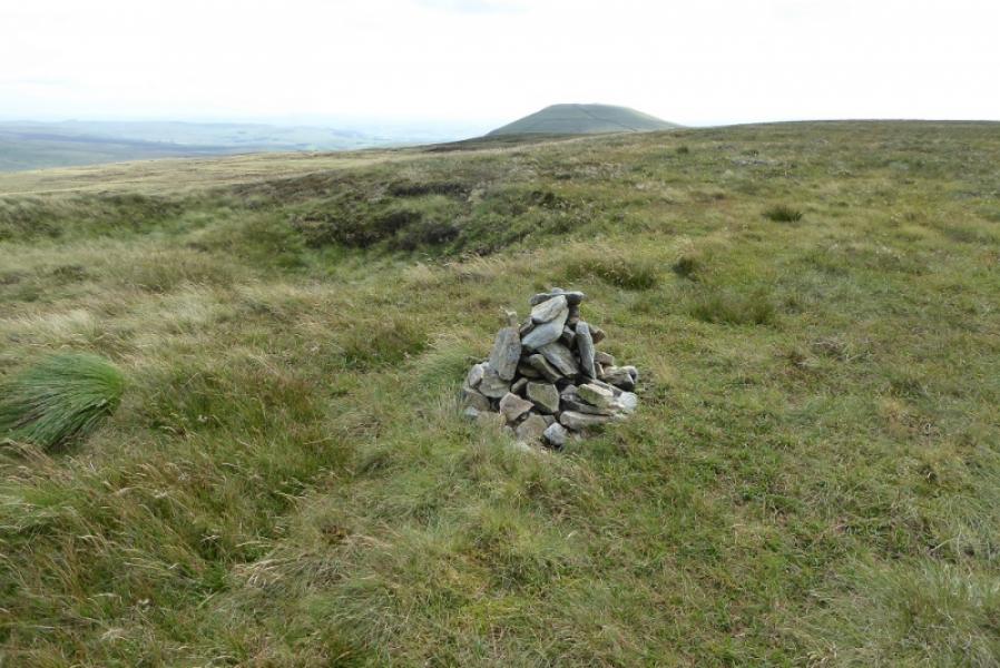
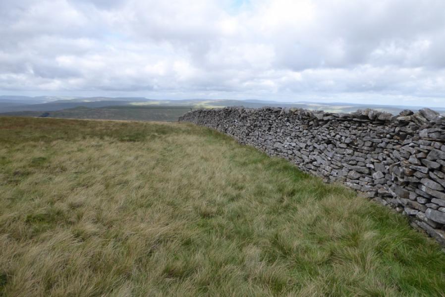
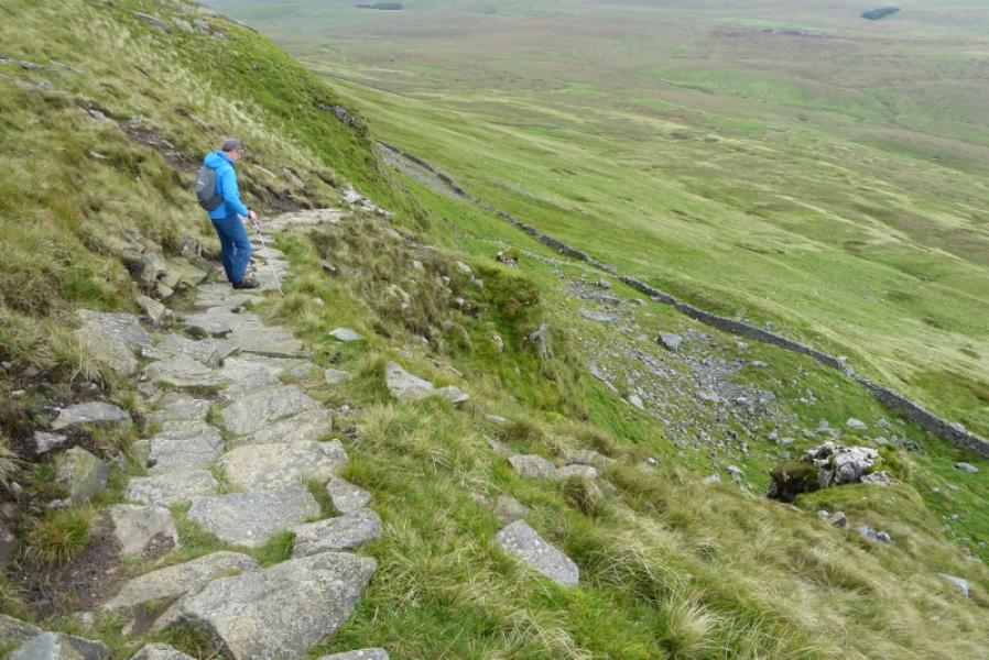
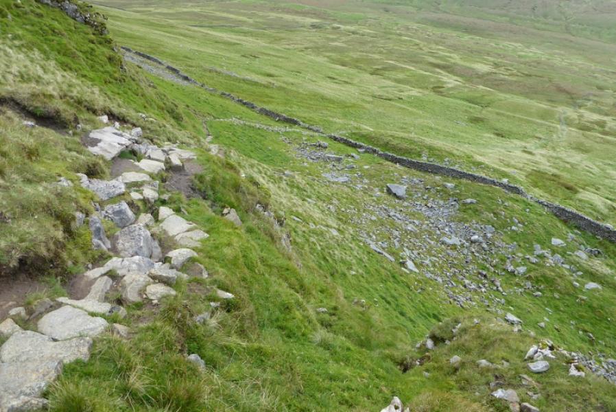
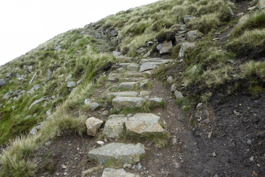
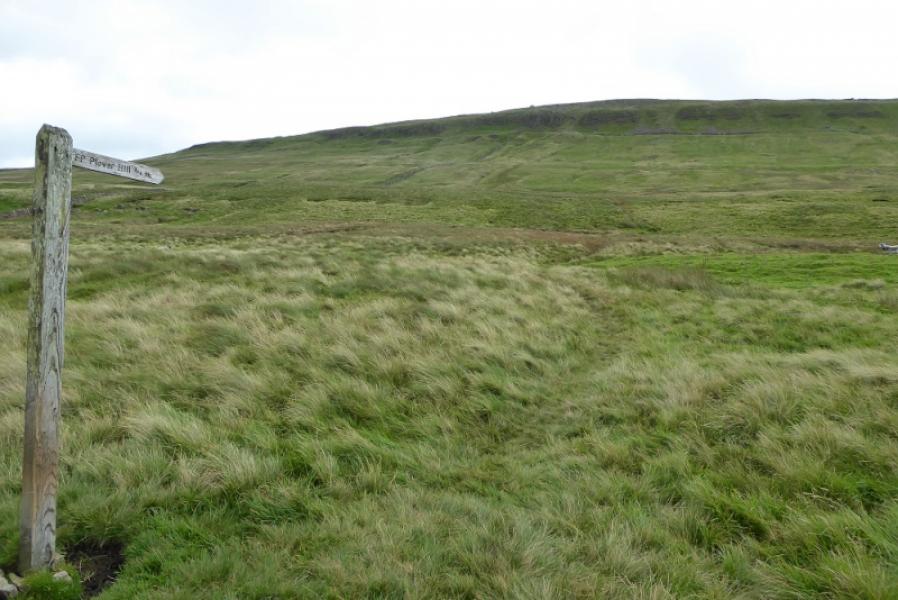
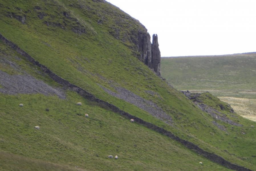
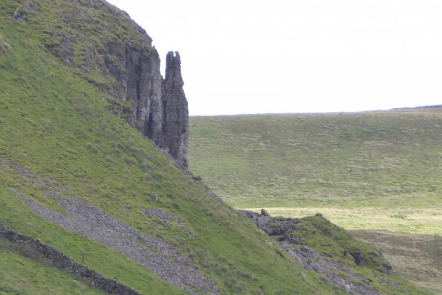
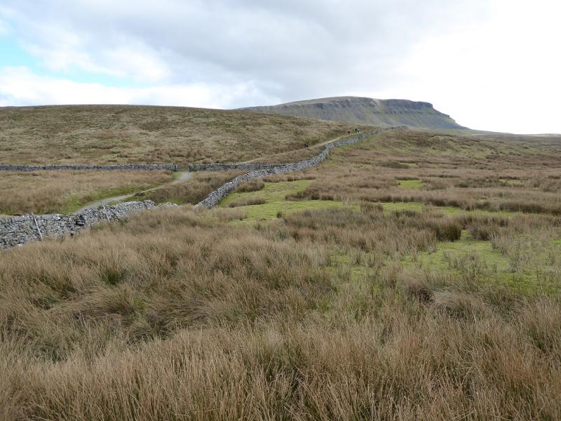
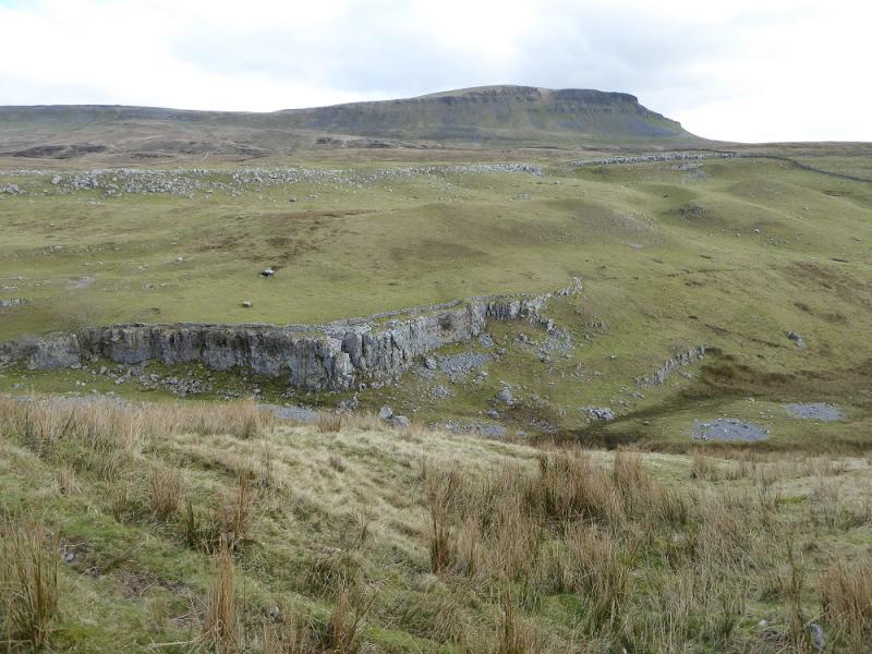
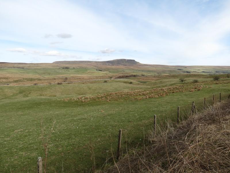
Pen-y-Ghent is the lowest of “The Three (Yorkshire) Peaks” with Ingleborough and Whernside being the other two. Despite this it gives the best ascent of the three with an attractive approach up its rocky southern shoulders. Hands will be needed on the approach up the rocky shoulders but it is not a scramble unless one chooses to make it so although it needs much more caution in winter conditions. Navigation is very straightforward even in mist but it is best saved for a clear day when the views are superb in all directions. This is an ideal walk for a short winter's day. The continuation to Plover Hill, which is essentially the north top of Pen-y-Ghent shows the moorland nature of these hills and this section can be wet, peaty and boggy. Most unfortunately, the summit cairn on Plover Hill is over a wall with no stile and the wall is becoming quite loose. Someone seems to be repairing any damage top the wall but if there was a stile, there might be less damage! The descent down the NNW flank of Plover Hill is more pleasant than it's ascent from the Pen-y-Ghent side. There is actually an engineered path to take one safely through the crags and down to the Foxup to Horton path which is followed west to the huge open pothole known as Hull Pot, after which the Pennine Way is rejoined down Horton Scar Lane back to Horton.
Route
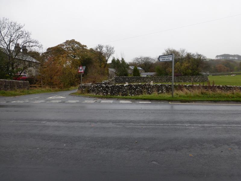
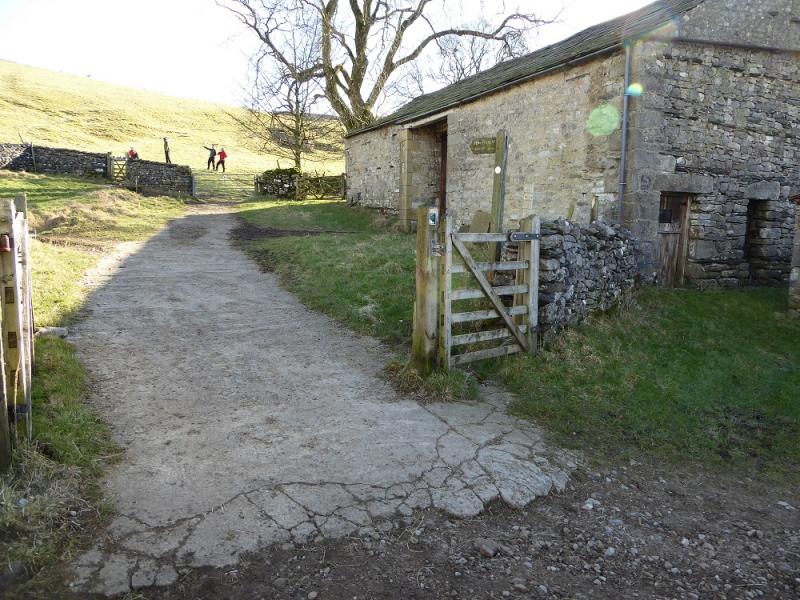
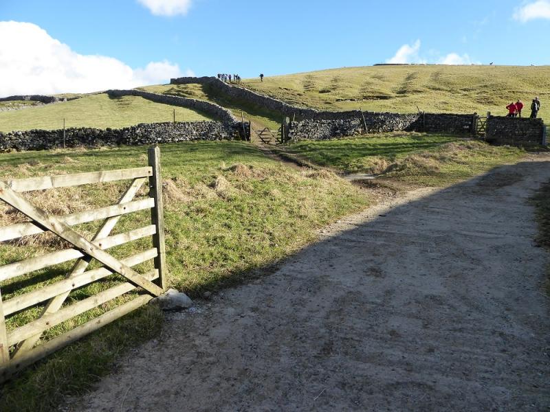
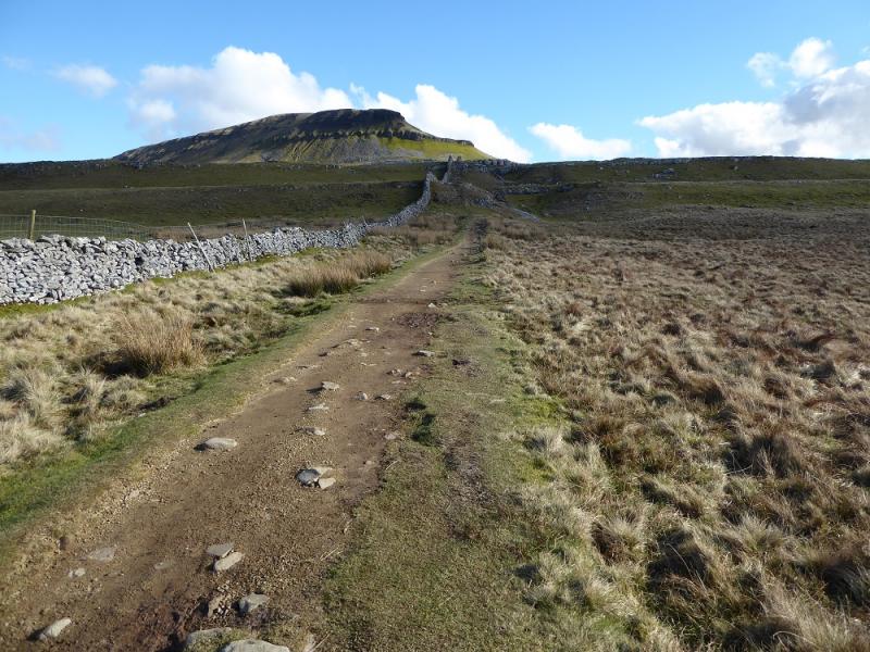
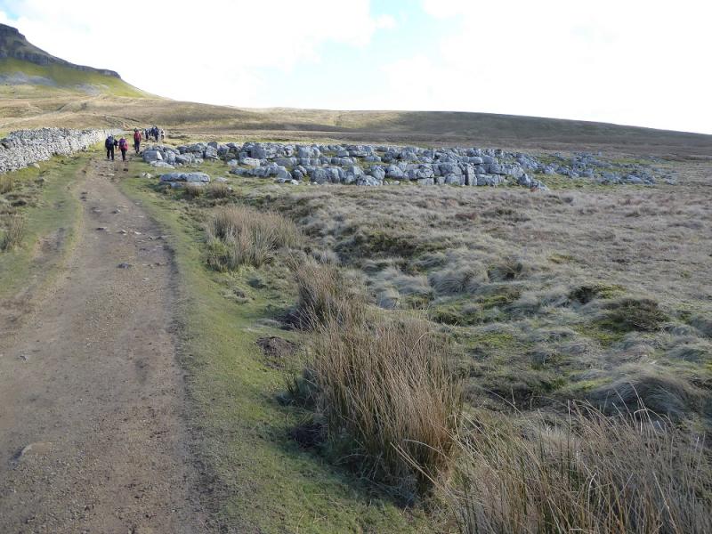
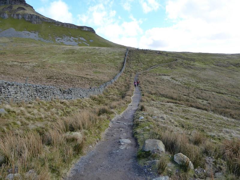
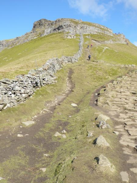
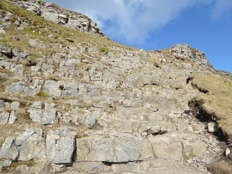
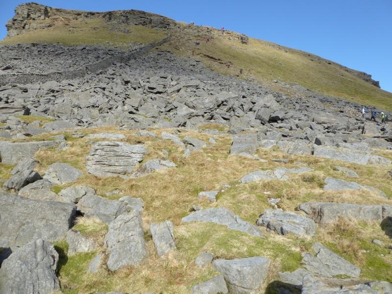
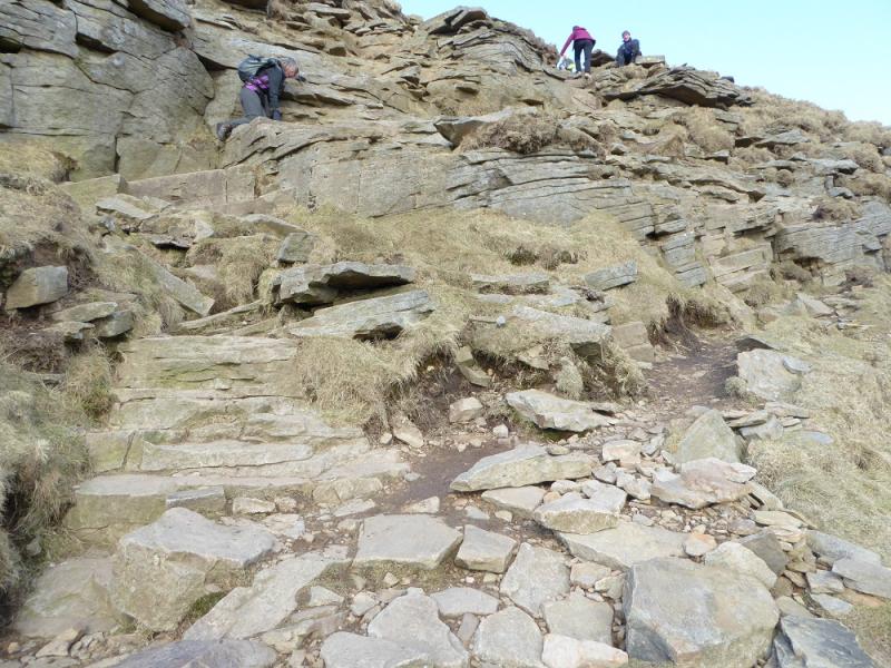
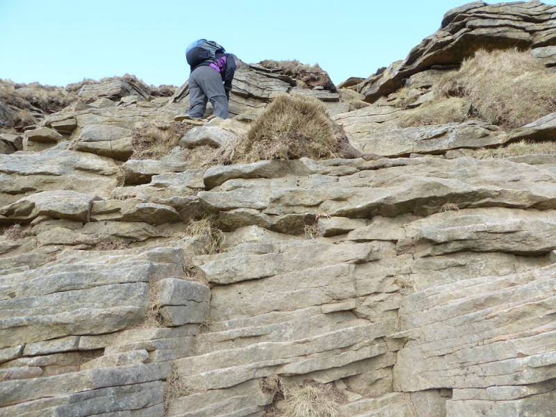
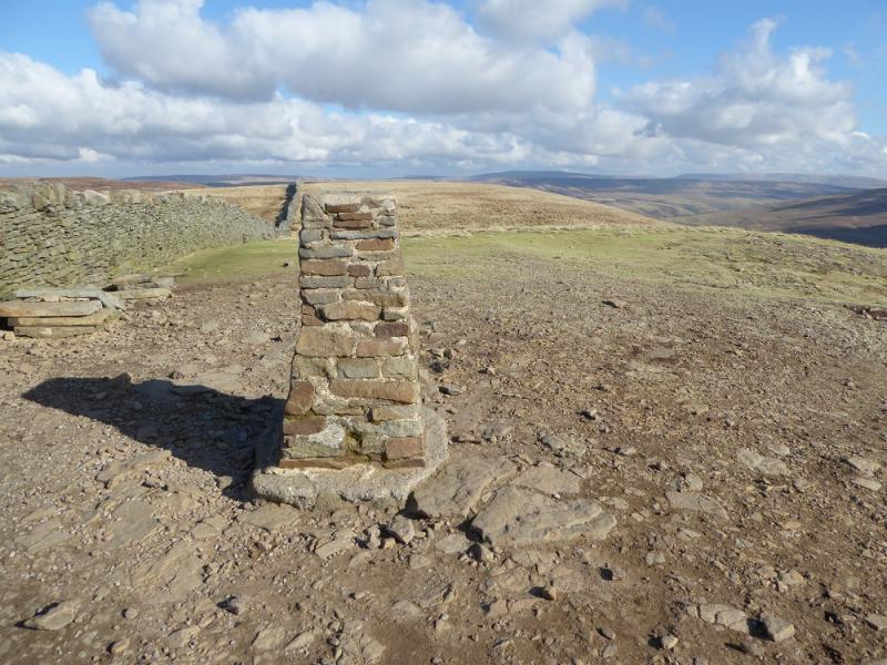
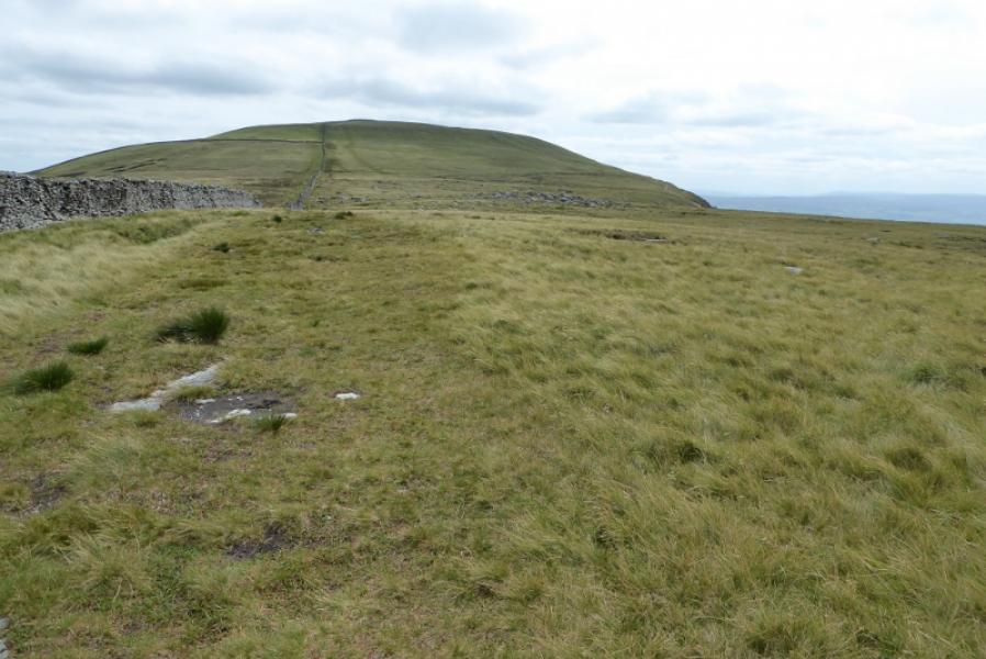
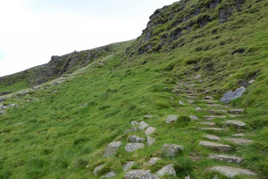
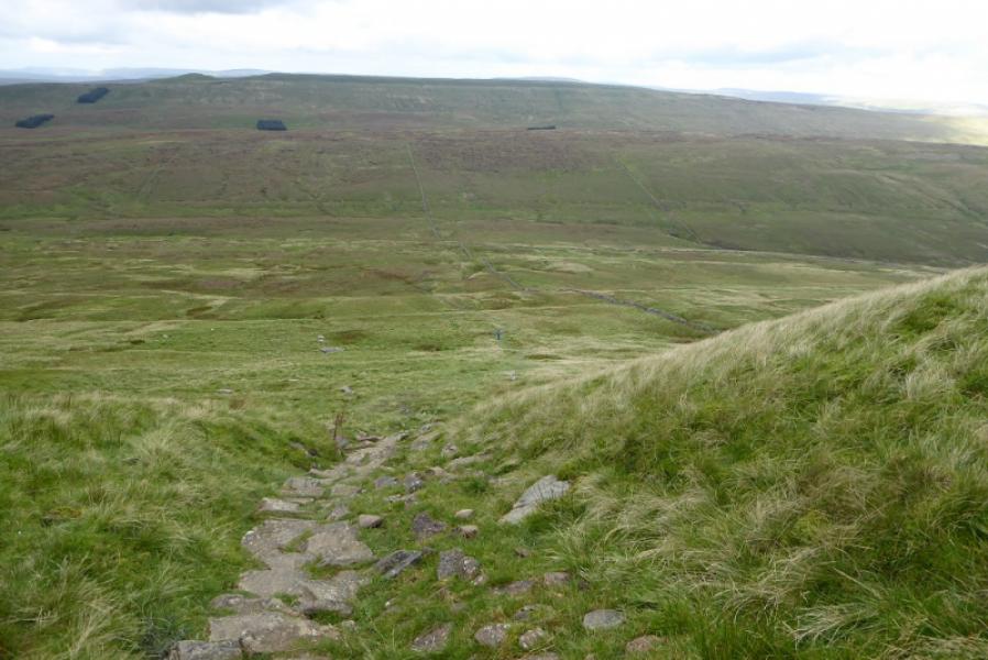
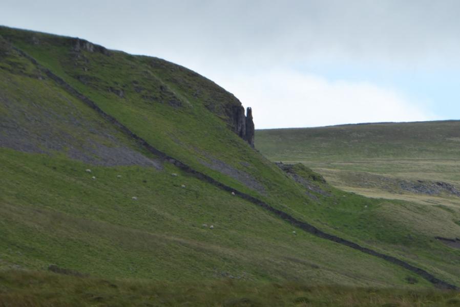
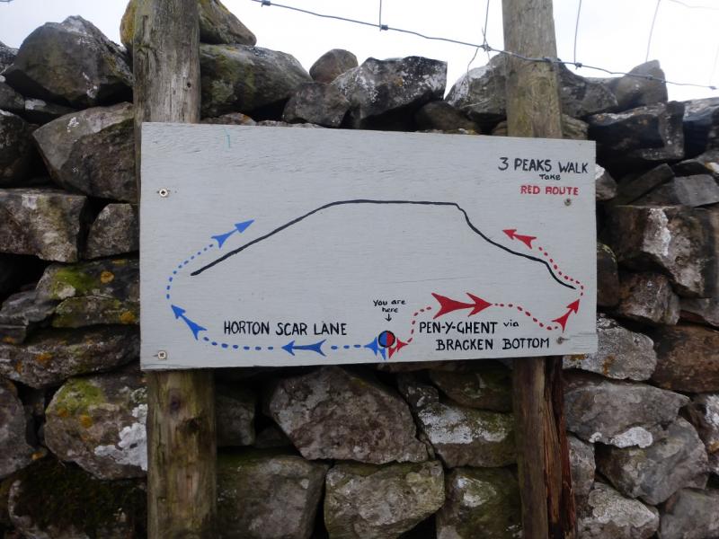
(1) From the E side of Horton Bridge at the S end of the village, take the minor road to the primary school (sign posted). Continue past, emerge from the trees and soon reach the stone buildings at Brackenbottom where a sign, on the left before the first building, points the way to Pen-y-Ghent. Within 100 metres, a gate is passed through and a good path initially follows a wall. Higher up, the path passes through Brackenbottom Scar which has a short easy cliff, easily avoided if one wishes. Continue up, on the obvious path, to reach a gate which gives access to the path, now the Pennine Way, going up the S ridge. (This path starts at the Silverdale Road and gives a shorter approach for those just wishing to get to the summit and back). Go N up the ridge which soon steepens. The path drifts to the right away from the wall on the crest to avoid the rocky nose. Higher up, there is a rocky section where there is a choice of routes and difficulty and scrambling can be avoided. Once above here, the trig point is soon reached which is the summit of Pen-y-Ghent, 694 m. This is very close to the wall on the crest which has a small seating area built into it. There is a very useful sign post on the wall.
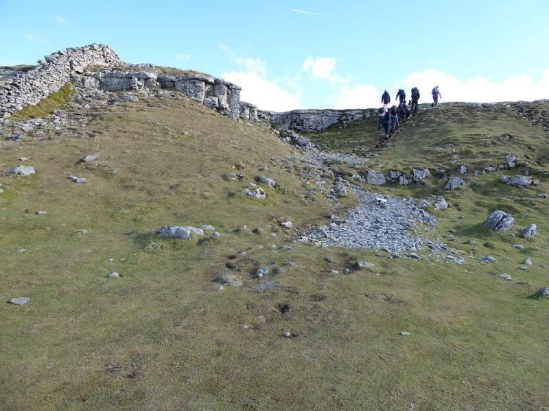
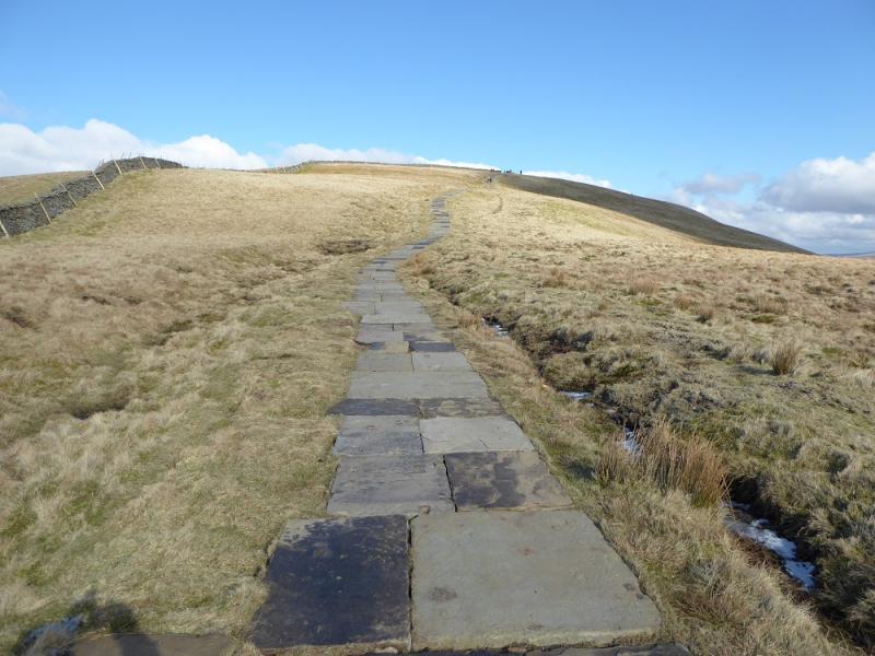
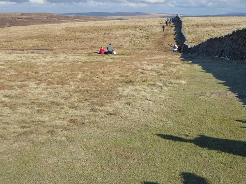
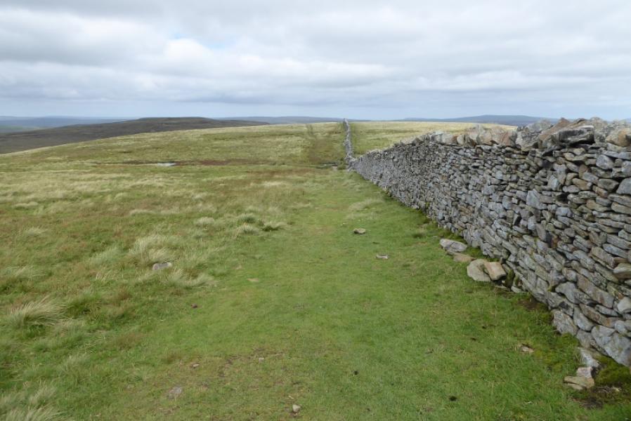
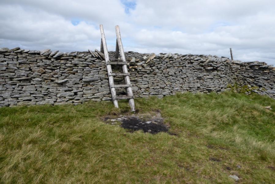
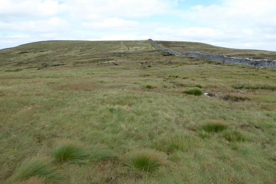
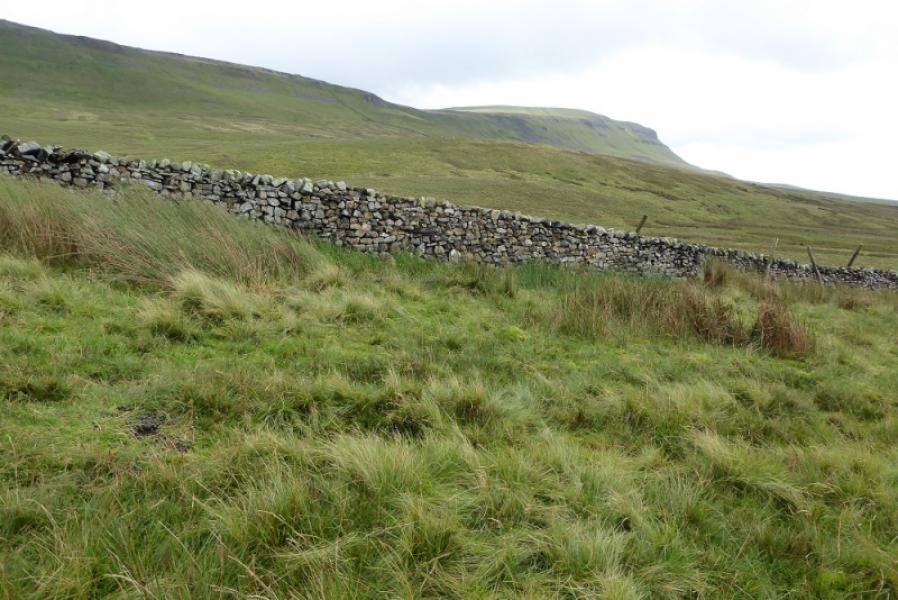
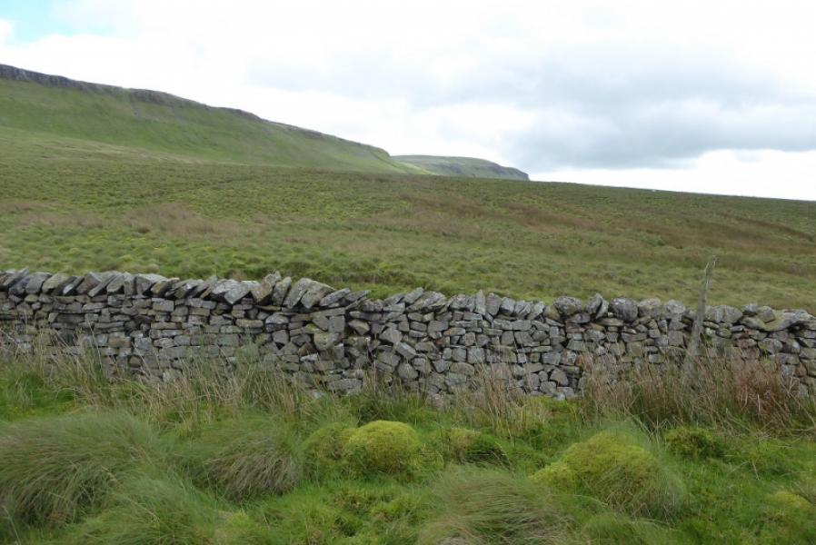
(2) Cross the wall and follow it north. This is not a popular route so the path can be wet and boggy in places with short detours often being needed. Follow the wall down to a col then up on to the summit plateau of Plover Hill crossing a stile lower down then another on the summit plateau. Continue to the next wall at a corner. The highest point is not obvious but is marked with a small cairn and, unfortunately, is over the wall on the right which has no stile. Most people seemed to have climbed over at the wall corner to reach this small cairn which is Plover Hill, 680 m. Once over the wall a faint path leads to the cairn.
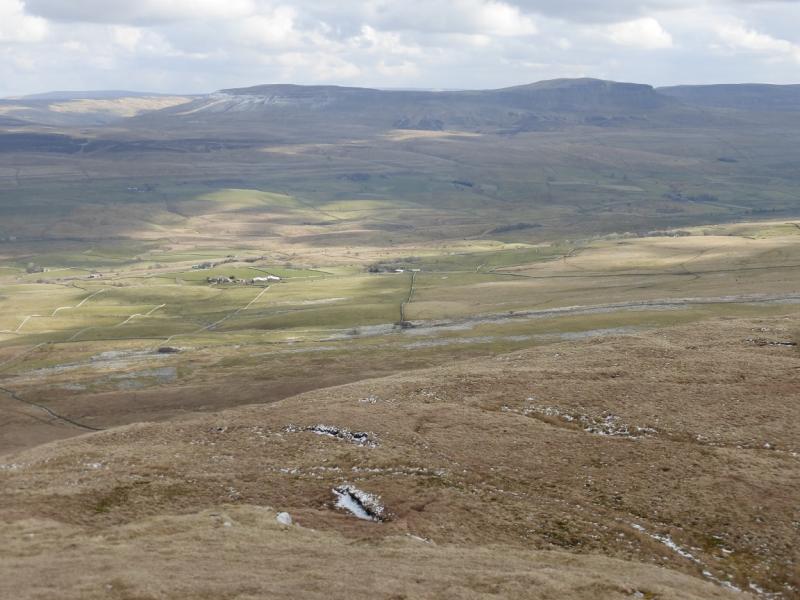
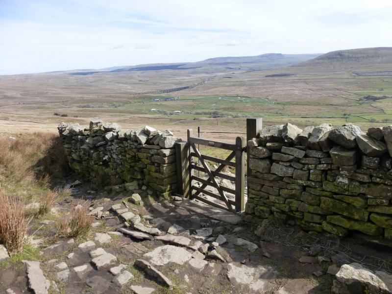
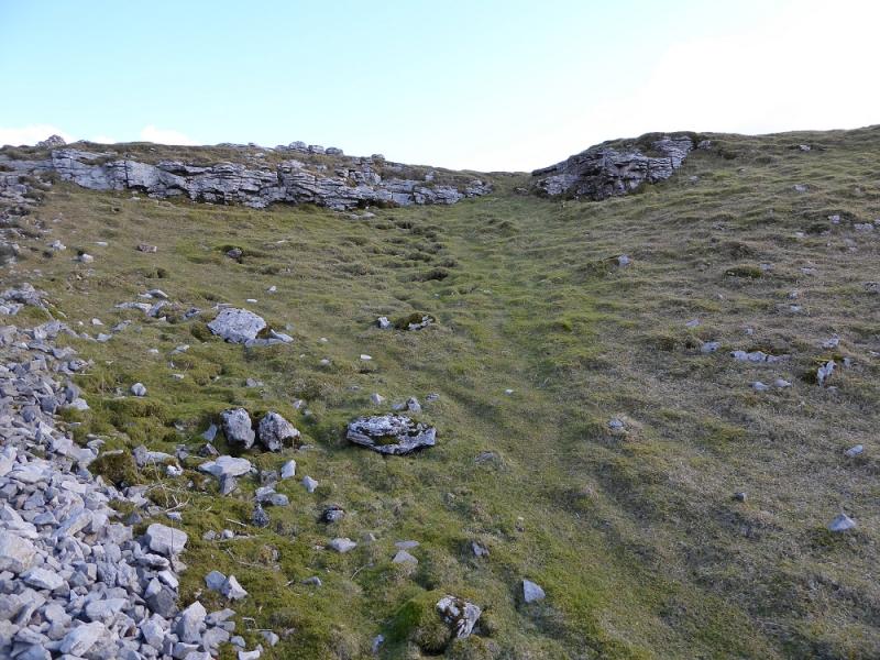
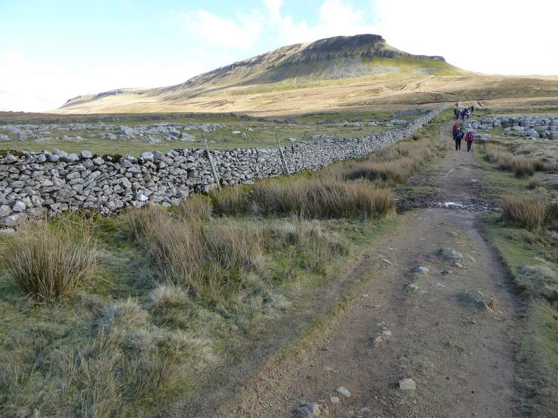
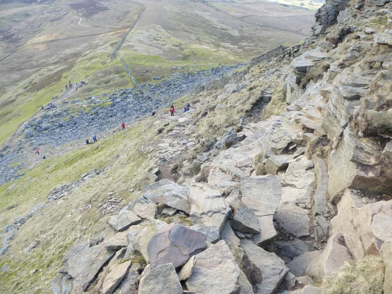
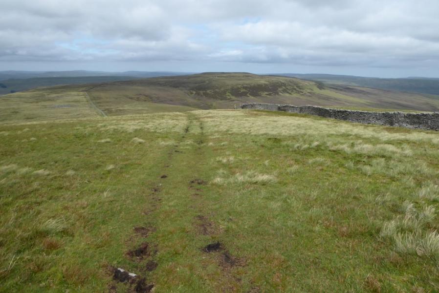
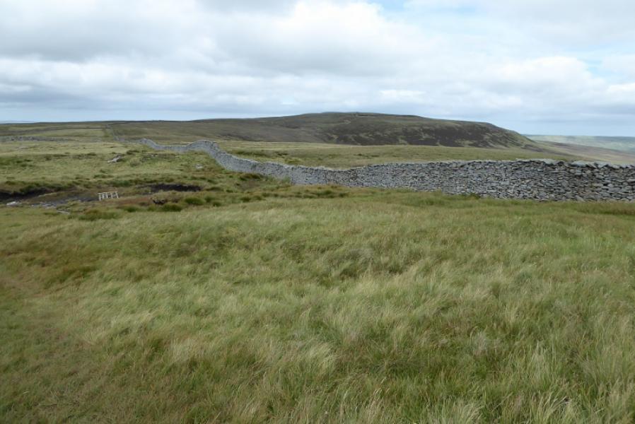
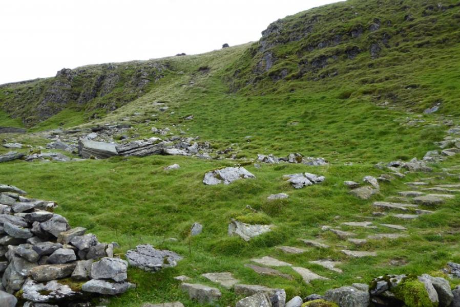
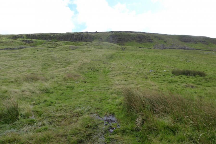
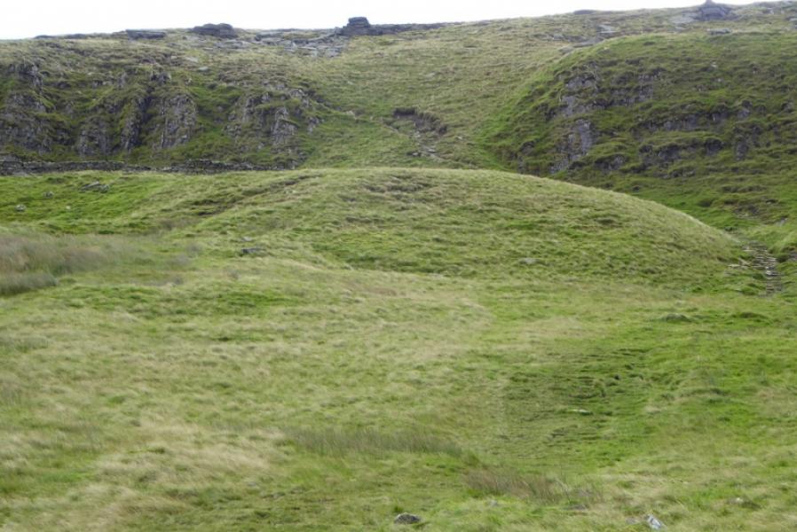
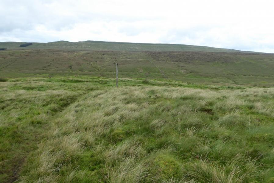
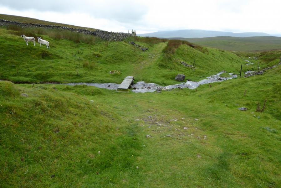
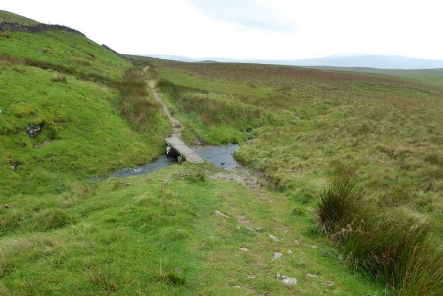
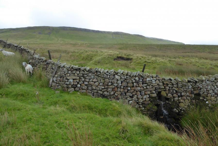
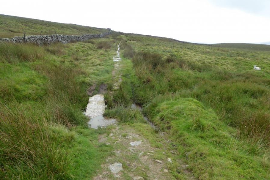
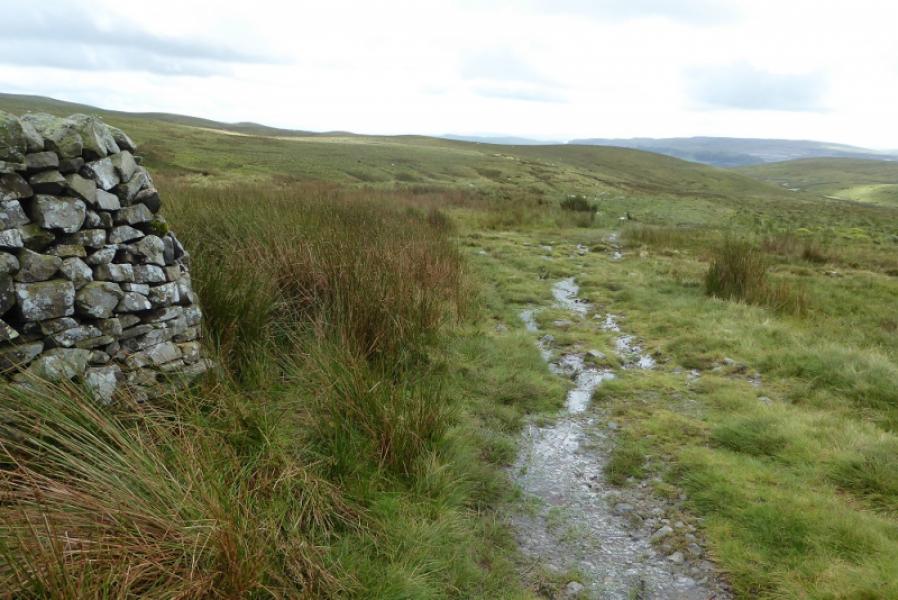
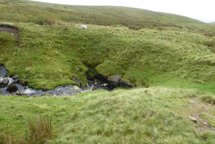
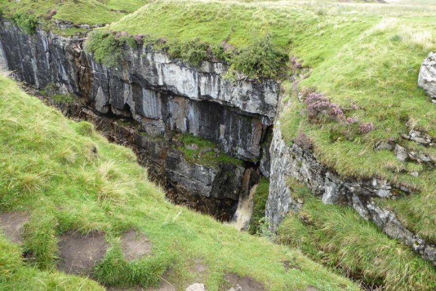
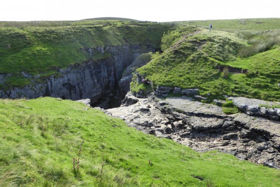
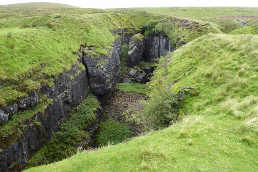
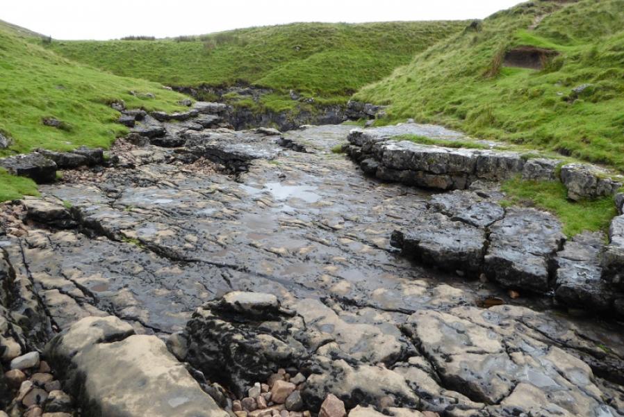
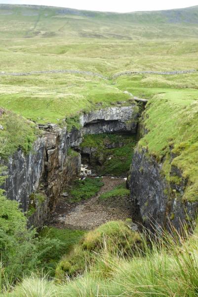
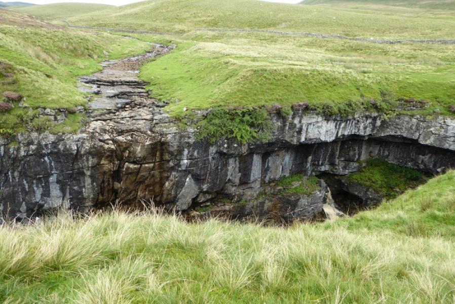
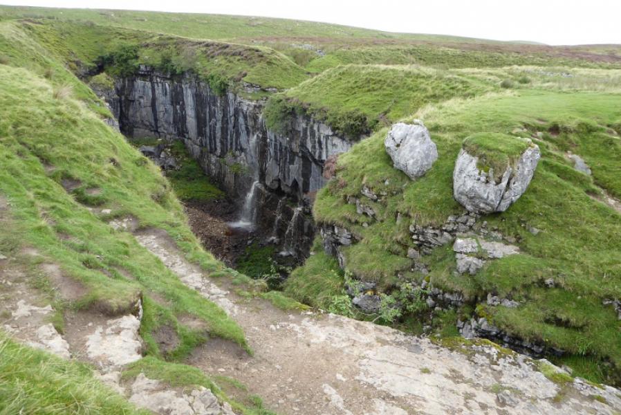
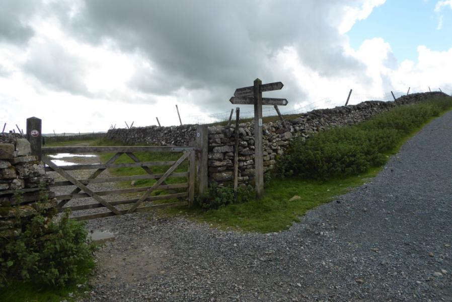
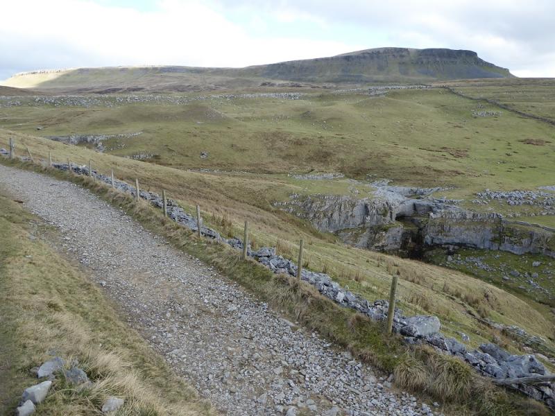
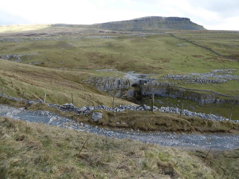
(3) Retrace back over the wall then follow the wall NNW down Plover Hill. There is a faint path which follows the left hand side of the wall. Strictly speaking, this is not a right of way as that starts at the stile on the next wall to the west but the “proper” path soon converges with the one by the wall. About here, the path becomes an engineered one and slants left to avoid the crags before going through a wall and continuing down. In clear weather, the Foxup to Horton path will be seen as a a green strip before the valley bottom. The path forks (not obvious) before reaching the green strip. The left fork is the actual path and leads to a sign post pointing up Plover Hill but this path can be wet. There is no problem with taking the drier right fork which is closer to the wall and meets the green strip by a gate. Turning left then takes you to the sign post. Continue on the Foxup to Horton path which, initially, goes WSW but gradually becomes more southerly. Several small streams are crossed by stone slab bridges and a wall soon appears on the left. Follow the obvious path by the wall until the wall turns left and up Pen-y-Ghent. Continue ahead where the path can be quite wet for some time before it curves right to follow a stream which is the minor feeder stream for Hull Pot. The stream will disappear underground after a while so stay with the path to go through a gate then go right to reach Hull Pot, a massive hole with cliffs inside its edges. Only climbers can descend into the pot but there is a path around it which crosses the main feeder stream that is sometimes dried up.
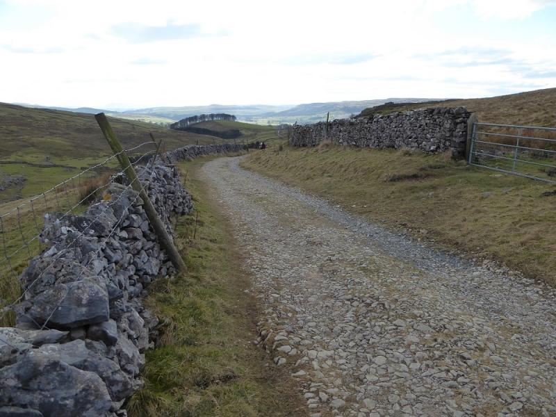
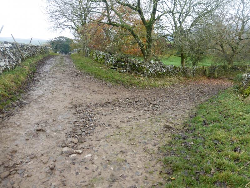
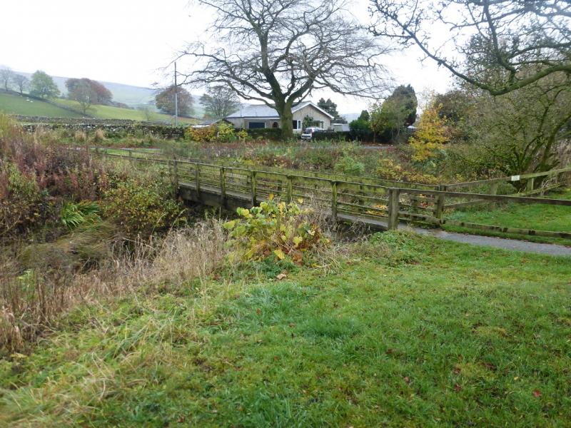
(4) Follow the path SSW from Hull Pot to soon reach a crossroads where the Pennine Way has come down from Pen-y-Ghent. Go straight ahead, signed for Horton, on to a track known as Horton Scar Lane from which there are good views of typical limestone scenery. This leads back to the village but splits just before the houses. Go left (only go right if parked in the centre or N end of the village) and soon pass through a farm and reach a minor road on the opposite side of the stream to the primary school. Either cross the bridge and walk back to the start or stay on the N side and follow the road to Horton Bridge.
Notes
(a) This walk took place on 9th September, 2020.
Photos - Hover over photo for caption. Click on to enlarge. Click on again to reduce.