Get Lost Mountaineering
You are here: England » Yorkshire Dales » Western Area
Whernside Direct from Ribblehead
Whernside Direct from Ribblehead
Start/Finish
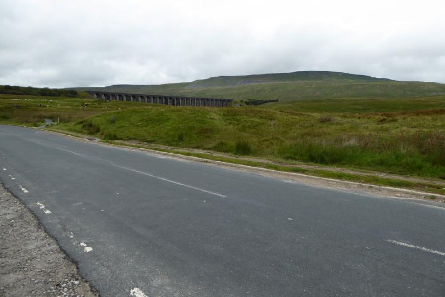
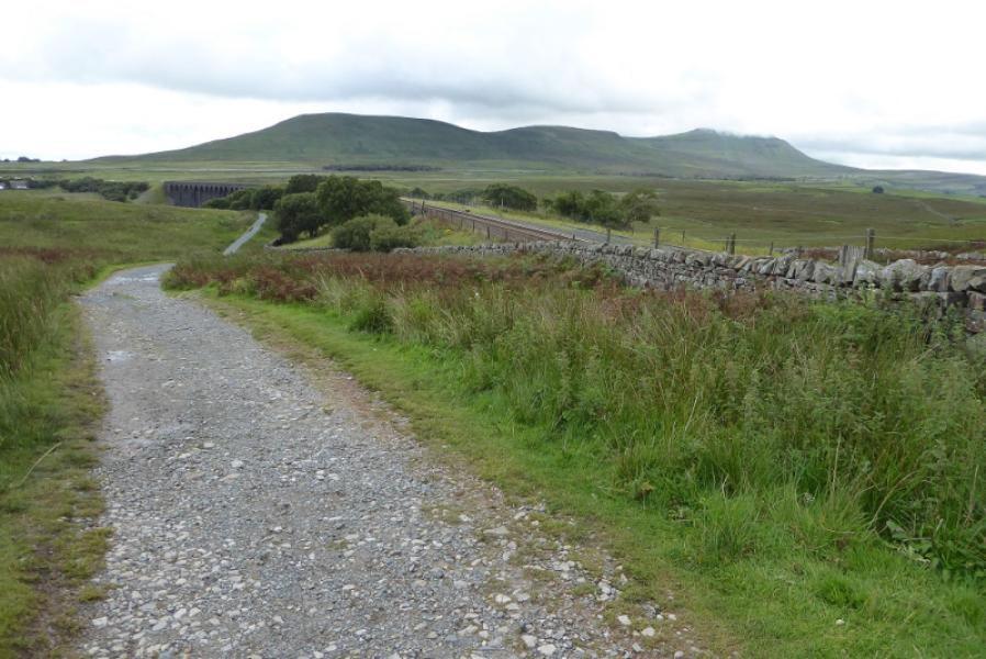
Ribblehead which is about 5 miles north east up the B6255 road (to Hawes) from Ingleton which, itself, lies on the A65 road from Skipton to Kendal. There are various parking places near Ribblehead but these can soon fill up at busy times. There is a pub at Ribblehead for those in need of refreshments. There is also a train station as Ribblehead sits on the famous Settle to Carlisle line. The walk is only slightly extended if starting from the station and some will prefer to travel in by train. Other ways to Ribblehead are from Settle via Horton-in-Ribblesdale or from Hawes to the north.
Distance/Time
10 km. About 4 hours
Peaks
Whernside, 736 m, SD 738 814.
OL2 Yorkshire Dales: Western Area
Introduction
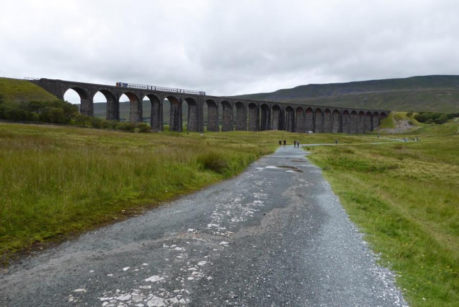
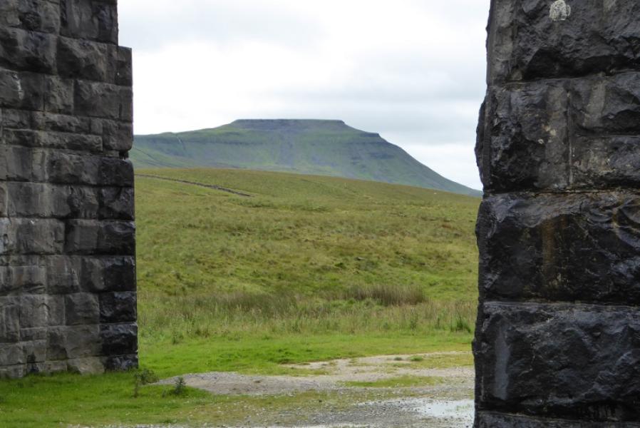
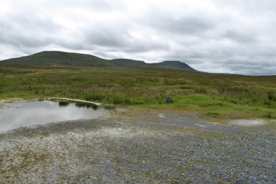
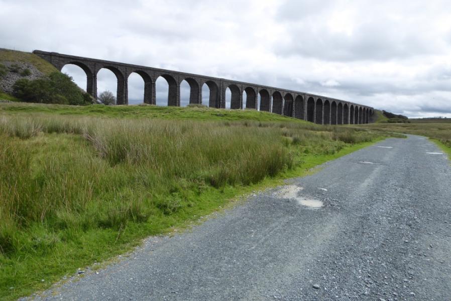
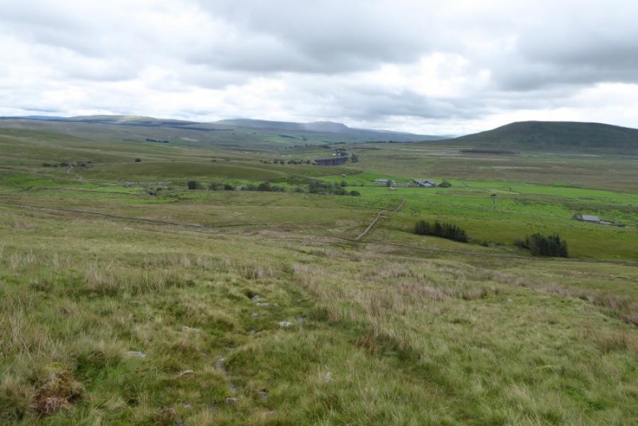
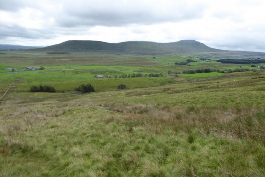
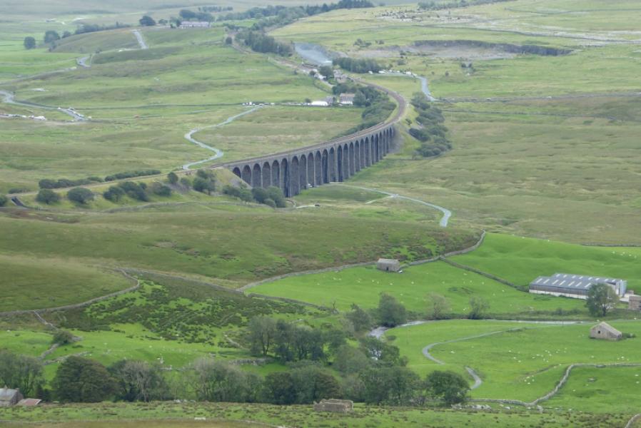
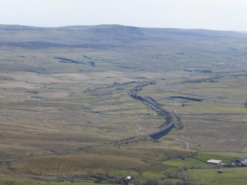
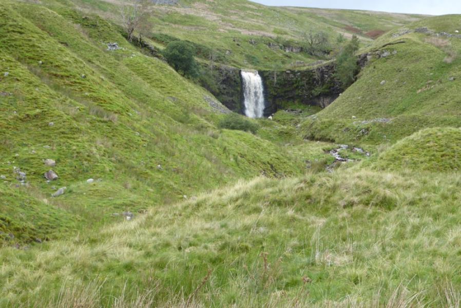
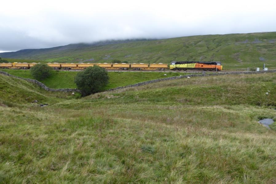
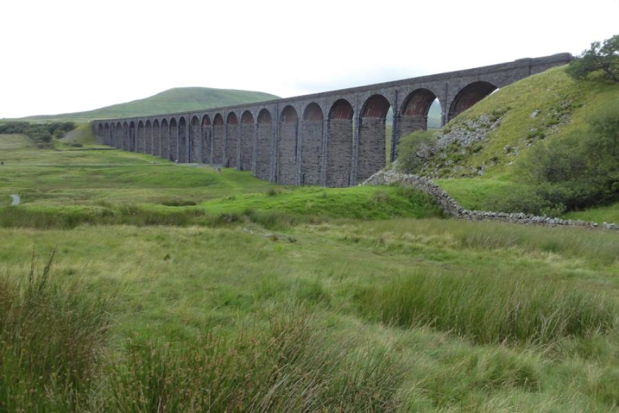
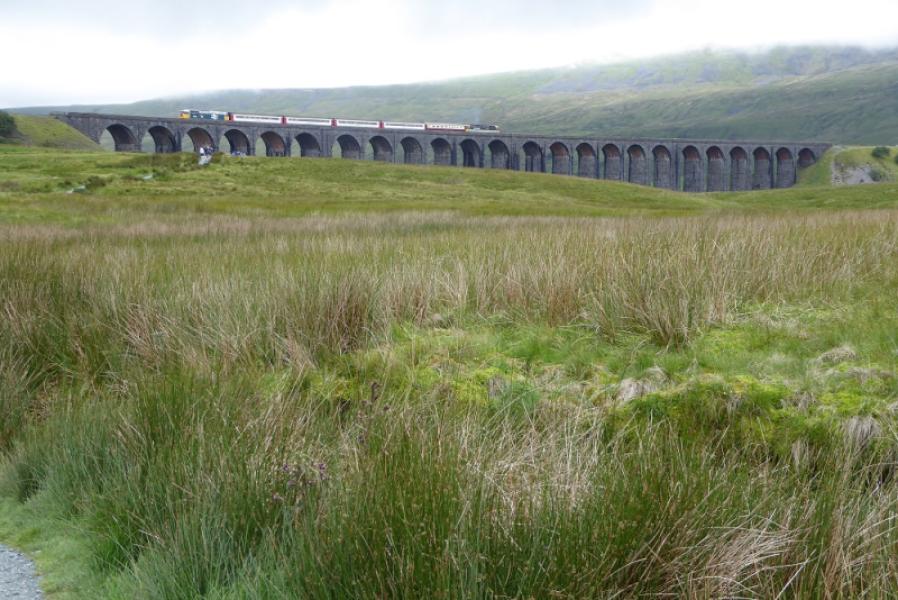
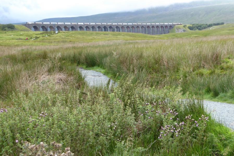
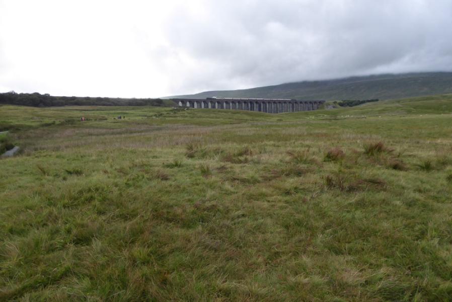
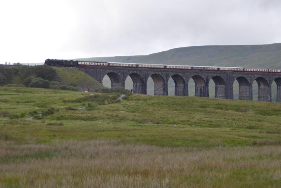
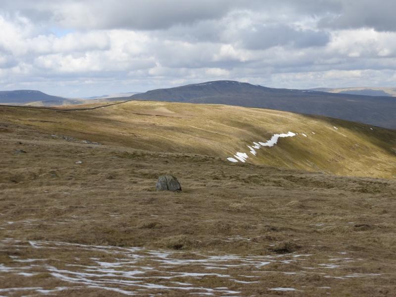
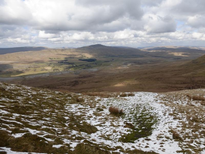
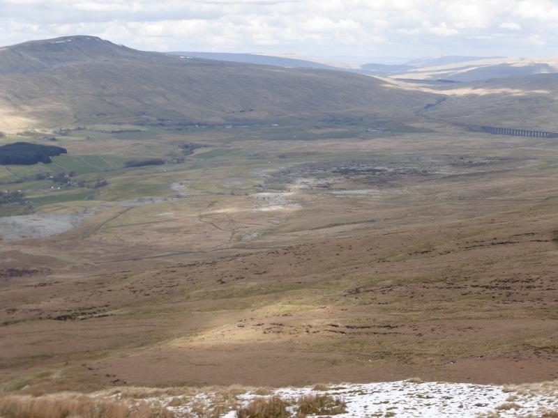
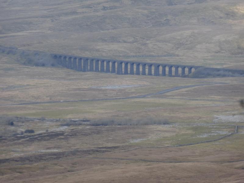
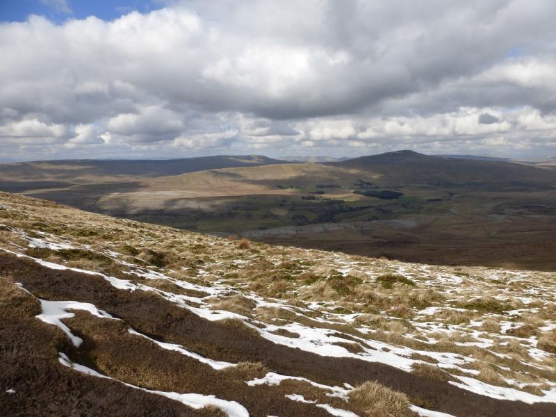
Whernside is the highest of the famous “3 Peaks” with Pen-y-Ghent and Ingleborough being the other two. This route offers an ascent which is rough, boggy and steep but it is the most direct route up Whernside from Ribblehead and passes underneath the famous viaduct. The descent uses a well constructed path along the north ridge before curving round to reach the railway at Blea Moor Tunnel which is then followed back to Ribblehead with a good view of Force Gill waterfall as an added bonus. There are fine views in all directions including Pen-y-Ghent, Ingleborough, Great Coum and the Howgills but, for many, the highlight of the walk is Ribblehead Viaduct on the Setlle to Carlisle line. You are likely to see several trains during your walk. If you are lucky, you may even see a steam train!
Route
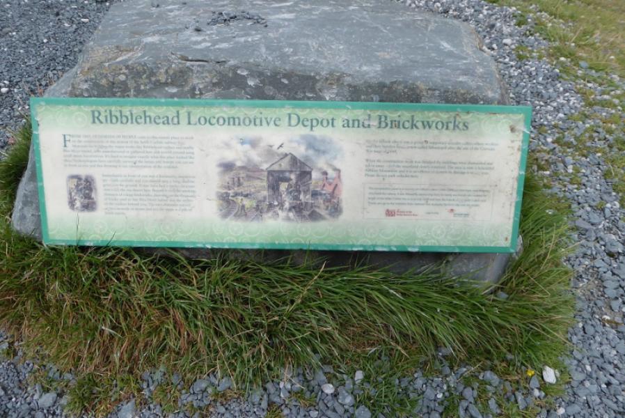
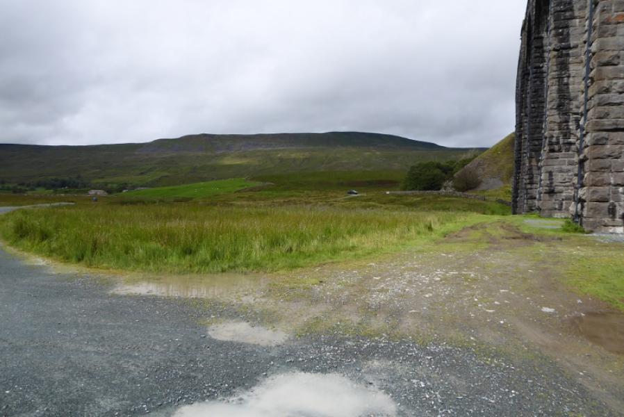
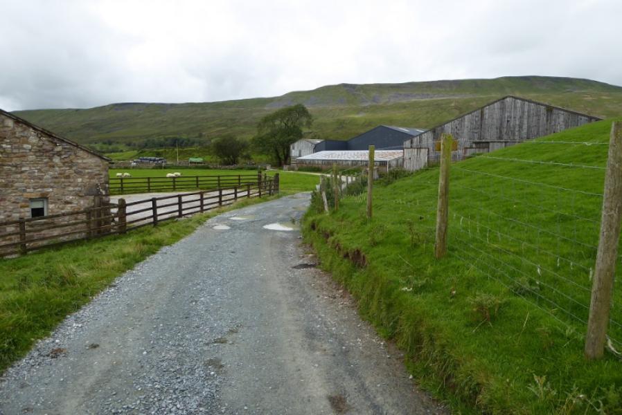
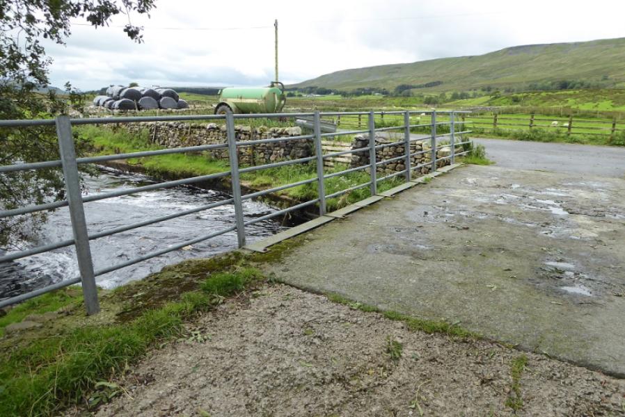
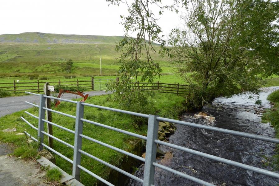
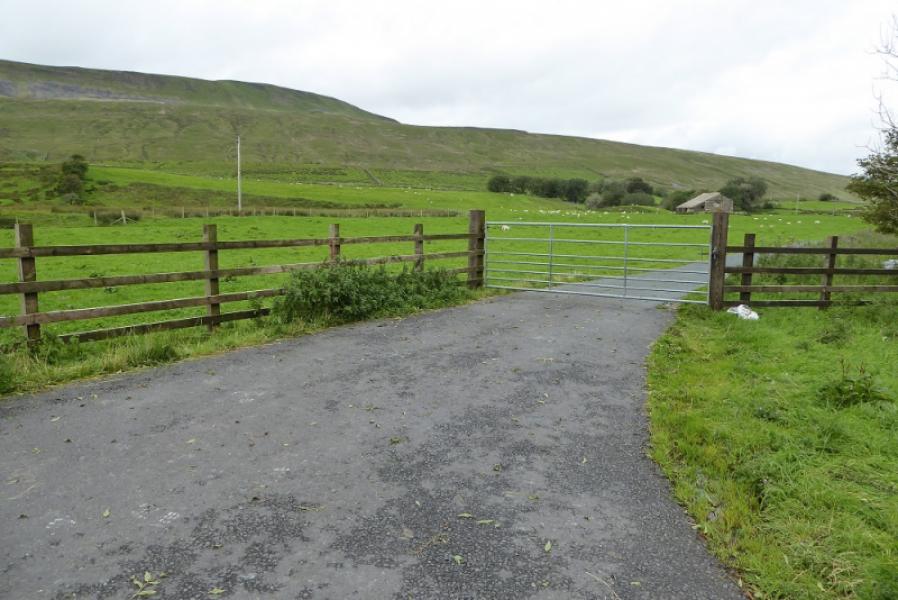
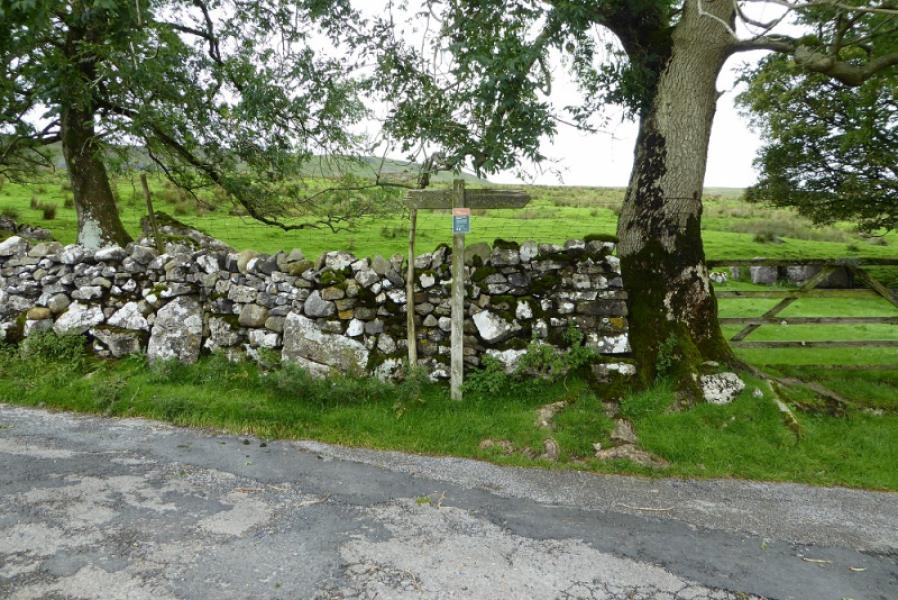
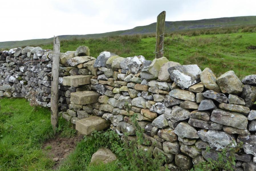
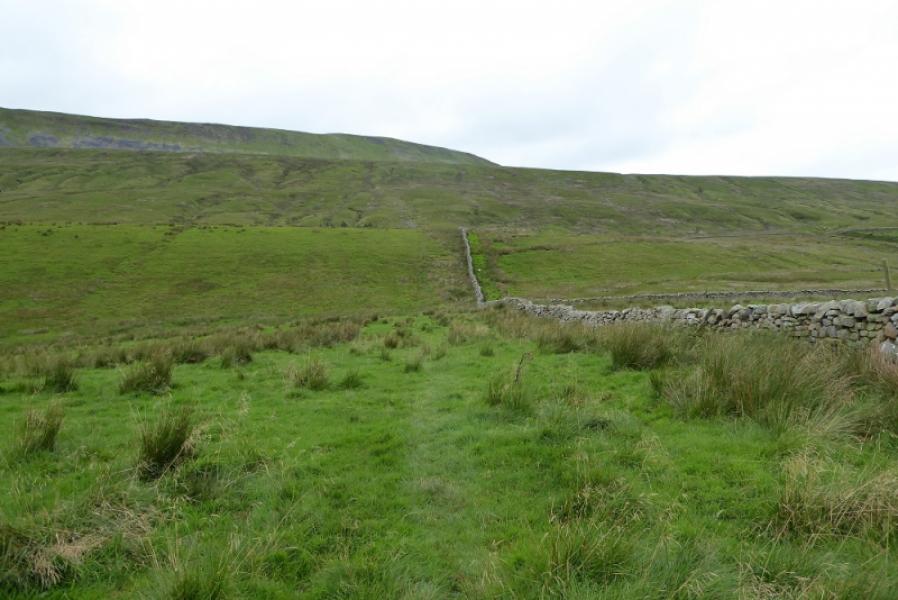
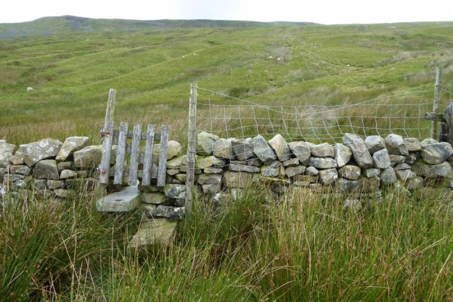
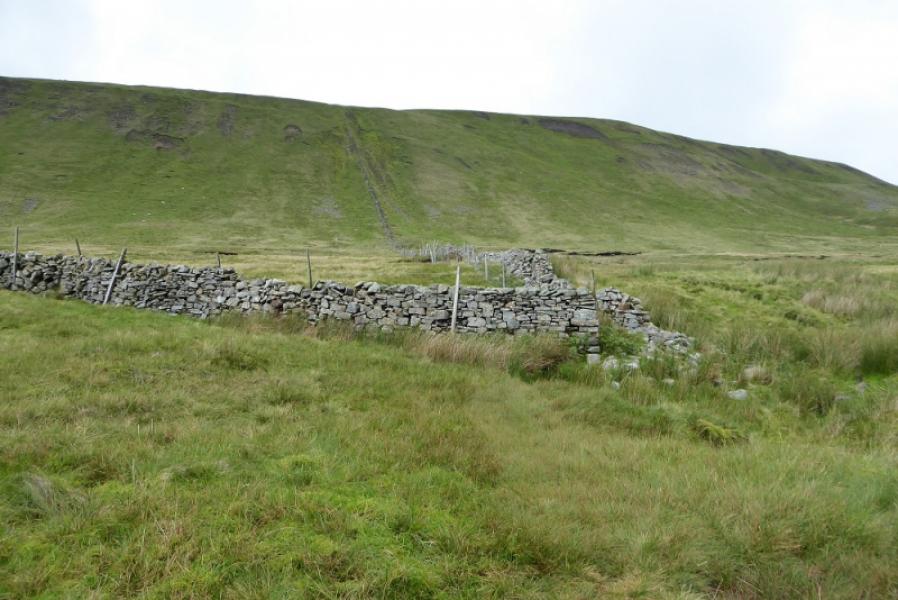
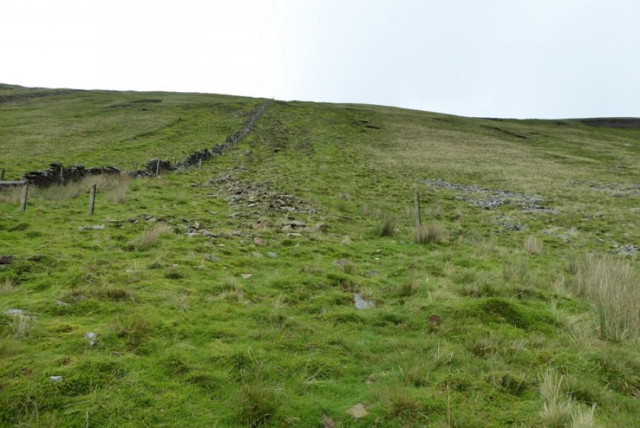
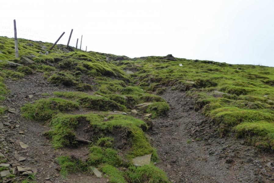
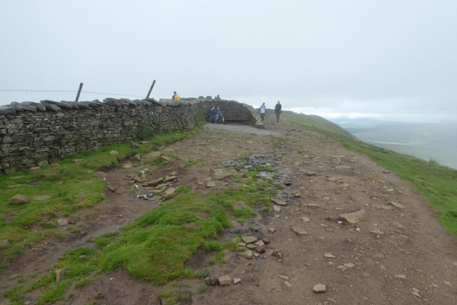
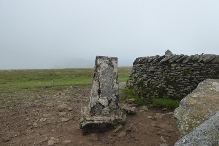
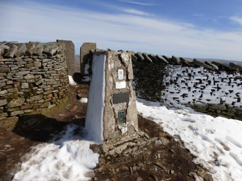
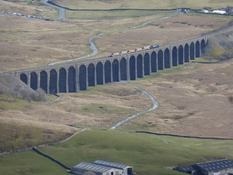
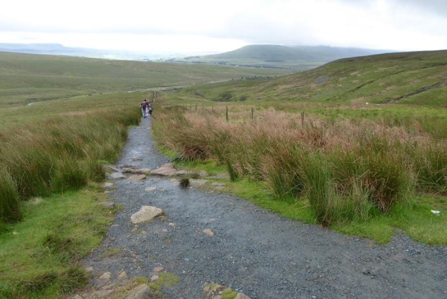
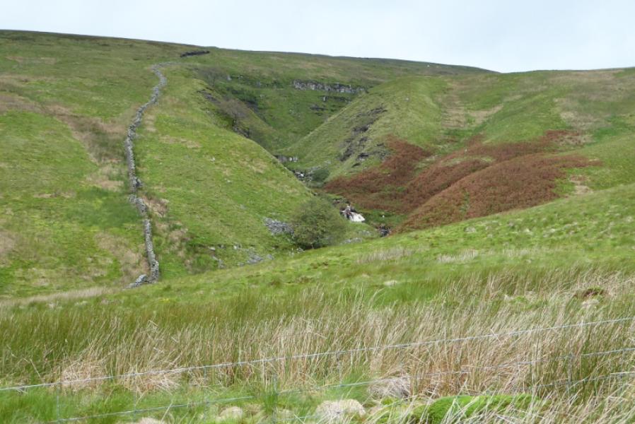
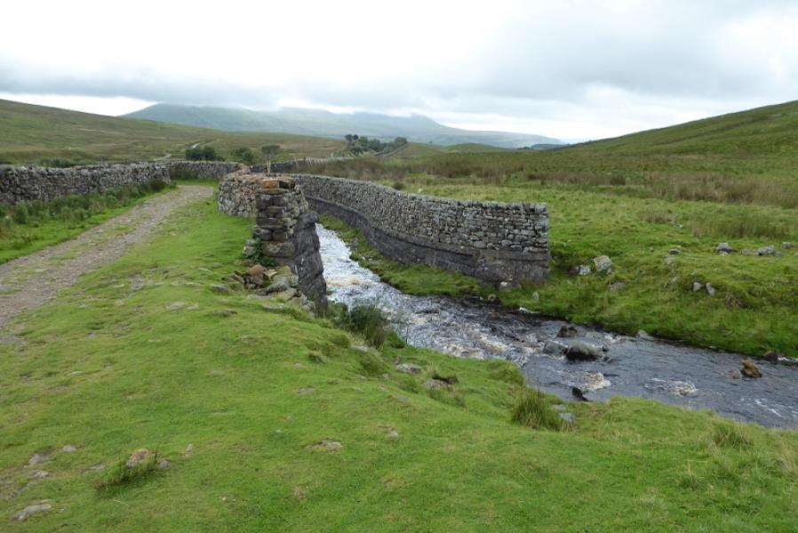
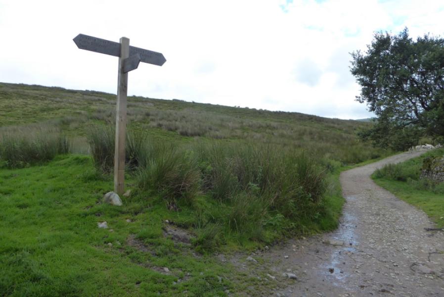
(1) Take one of the obvious paths to the viaduct (it depends on where you are parked) which is named as Batty Moss Viaduct on the map. It is worth wandering around under the arches for a few minutes and reading the plaques. Take the path going under the viaduct and follow it to Gunnerfleet Farm. Cross Winterscales Beck then turn right. Reach a T junction and turn left. In about 200 m, look for a stone stile going over the wall on the right. This is just after a wall going uphill from the wall by the track. Cross the stile and follow a faint path uphill using the wall as a guide. This is the old route up Whernside which is now little used. The ground can be wet and boggy especially on level sections. Reach a wall corner and continue ahead on open ground although the path is clear enough to follow. The gradient is steeper now. After about a km, reach another wall then follow a wall and fence up steepening ground. The path seems to be between the fence and wall to begin with then is on the right of the wall. When the path becomes very steep it starts to zig zag up a stony section near the wall before finally reaching the crest which is the south ridge of Whernside. Turn right and follow the very obvious path and soon reach the trig point which marks the summit of Whernside, 736 m. This lies behind the wall running along the ridge and it is a tight squeeze to get through the narrow gap.
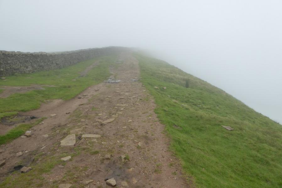
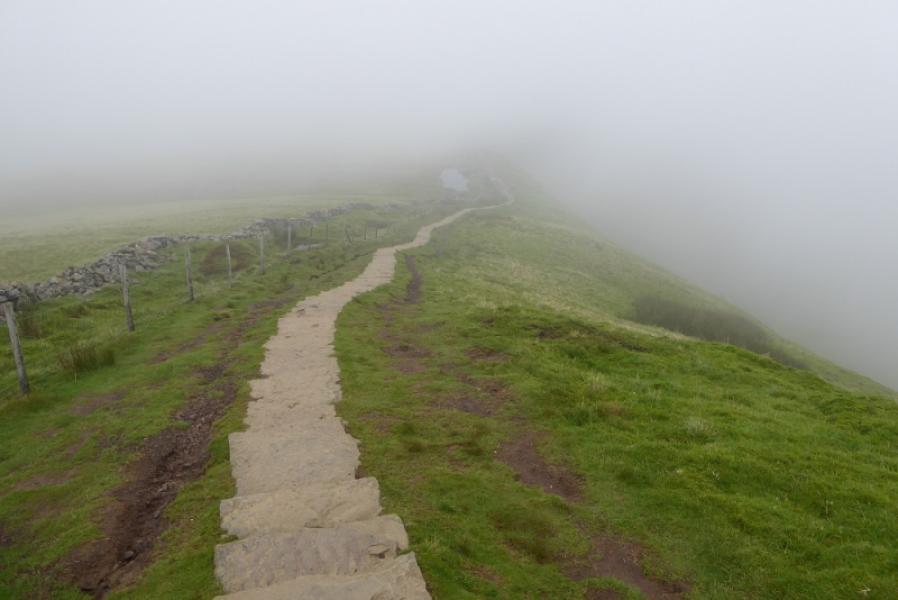
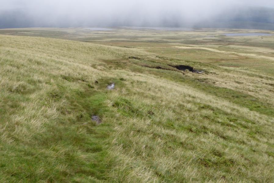
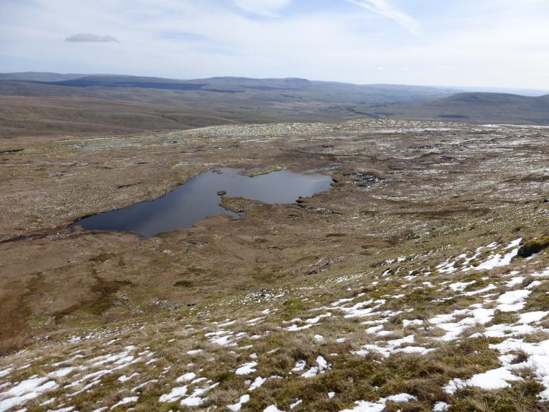
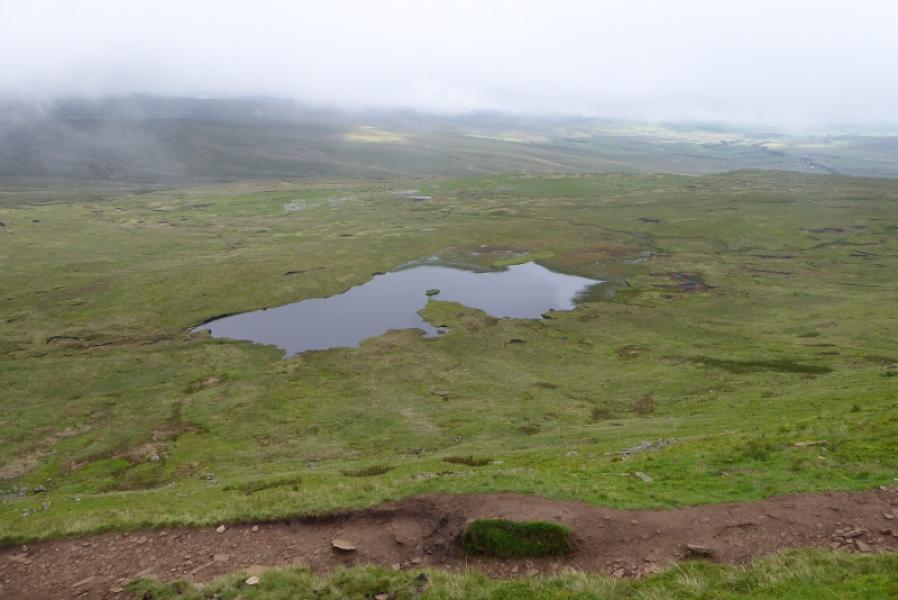
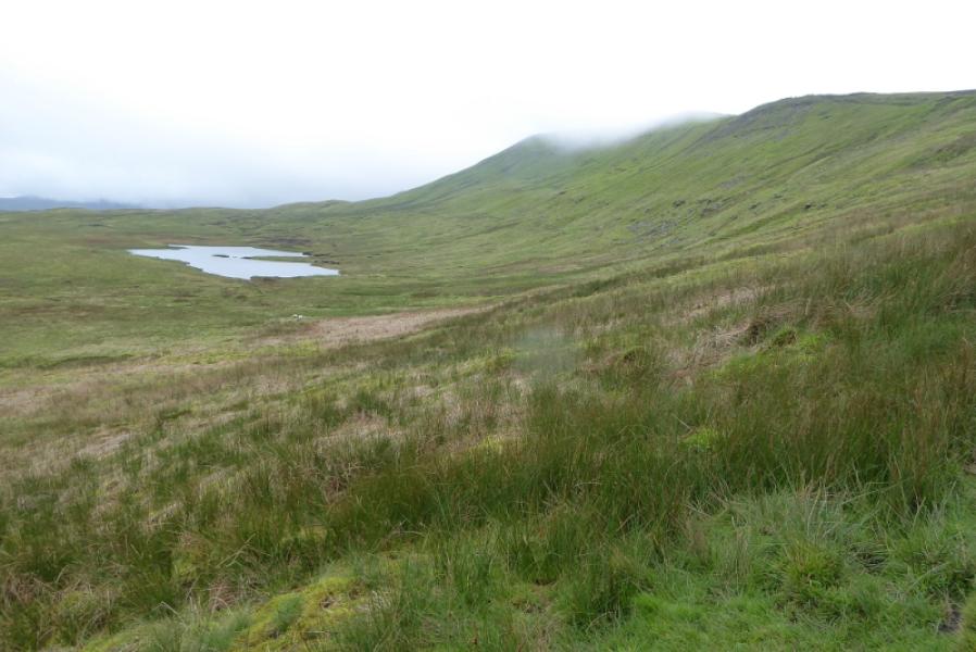
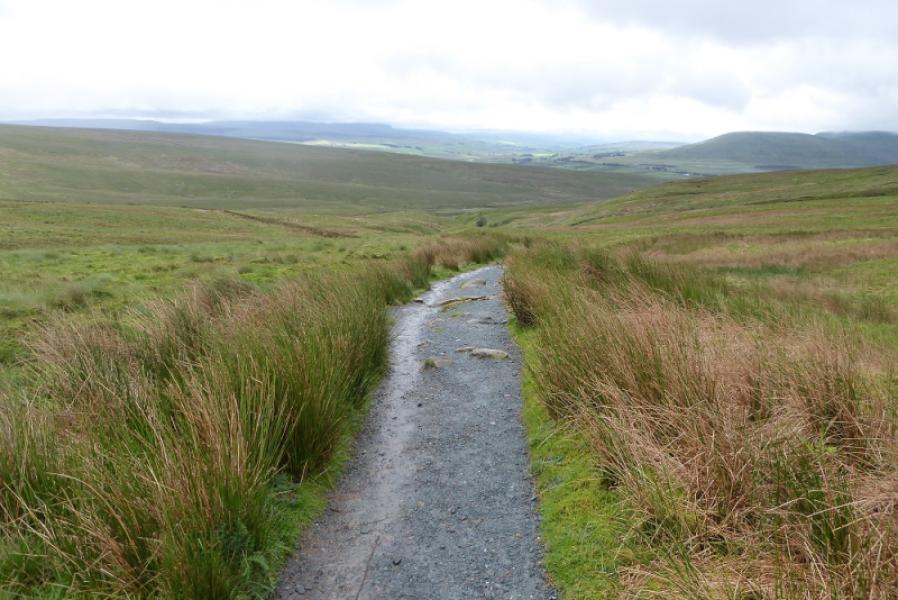
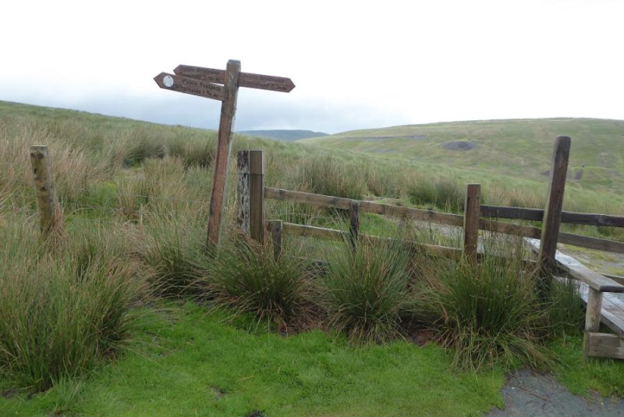
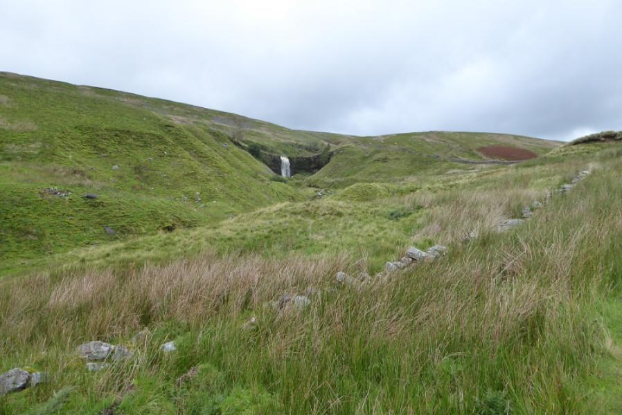
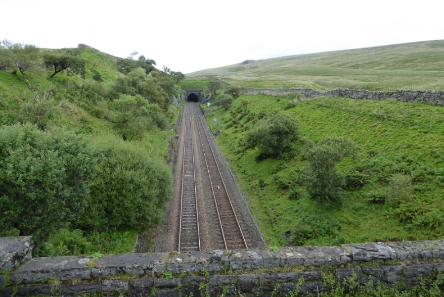
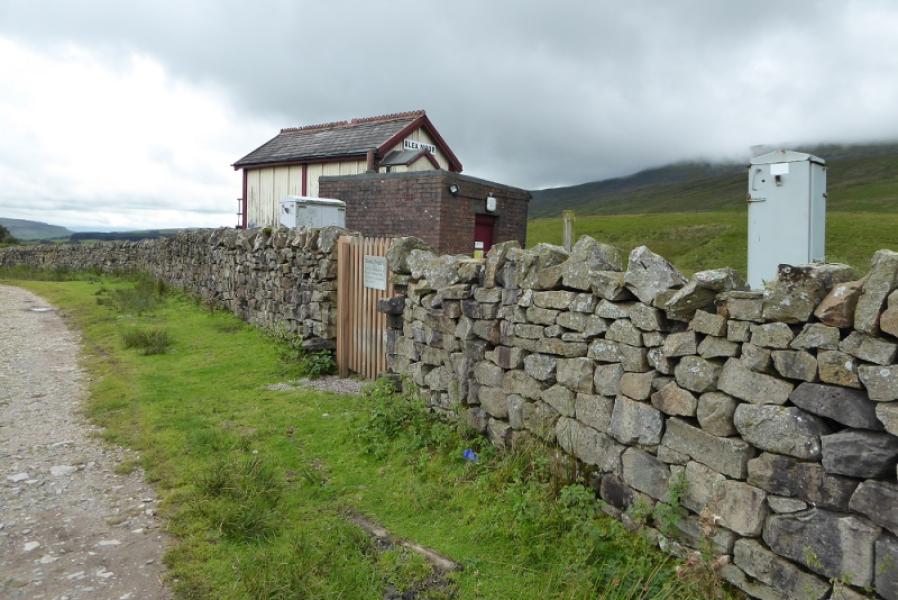
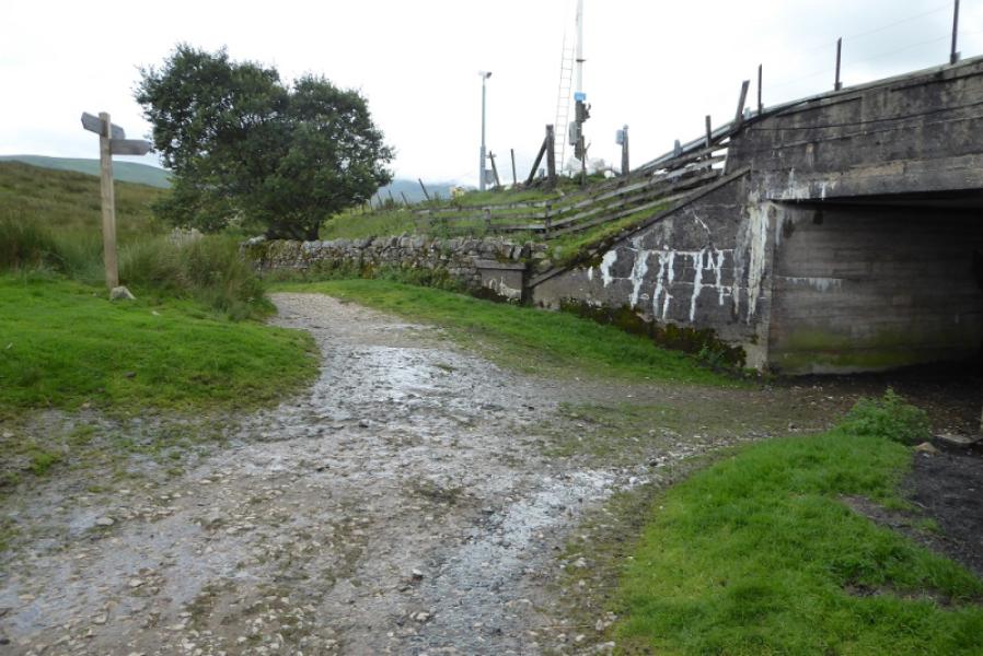
(2) Continue north along the crest for just over 1 km on a very obvious path, slabbed in places. Greensett Moss Tarn will be seen below to the right. Soon after a wall on the left, the main path leaves the crest and goes right, over very boggy ground which is thankfully slabbed. Continue, following the main path which is still very obvious. From the crest, it goes ENE, E, SE then SSE to reach the aqueduct and bridge over the railway near to the start of Blea Moor Tunnel. Look right for Force Gill Waterfall on the final part of the descent. Continue on the obvious track which leaves the railway before rejoining near Blea Moor signal box. Continue to descend down to the viaduct then retrace back to the start.
Notes
(a) This walk took place on 26th August, 2020.
Photos - Hover over photo for caption. Click on to enlarge. Click on again to reduce.