Get Lost Mountaineering
You are here: England » Yorkshire Dales » Western Area
Plover Hill, Pen-y-Ghent & Hull Pot from Foxup
Plover Hill, Pen-y-Ghent & Hull Pot from Foxup
Start/Finish
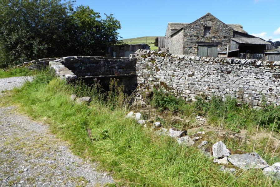
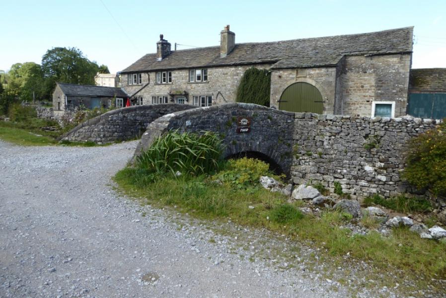
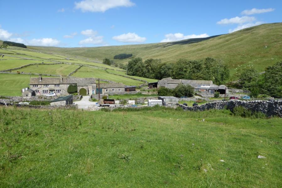
The tiny hamlet of Foxup which is about a mile west of the small village of Halton Gill. There is limited verge parking in Foxup. Halton Gill can be reached from either Settle or Kilnsey in Wharfedale on the Skipton to Kettlewell road. From Settle take the Horton-in-Ribblesdale road A right turn from Settle which is easily missed) and follow it to Stainforth. Take the second turning into Stainforth if you wish to use the public toilets then turn left on the Halton Gill road which rises fairly steeply. Follow it for about 7 miles to Halton Gill passing Pen-y-Ghent and Plover Hill on the left and Fountains Fell on the right. The road is also known as the Silverdale Road. It can soon be blocked by snow in winter as it goes quite high. The alternative way in from Kilnsey follows Littondale through Arncliffe and Litton so is less likely to be blocked by snow but it is quite a narrow road. To make the most of the scenery whilst driving, it is best to approach from Settle and depart via Kilnsey.
Distance/Time
15 km. About 4 – 5 hours.
Peaks
Plover Hill, 680 m, SD 849 752.
Pen-y-Ghent, 694 m, SD 838 734.
OL2 Yorkshire Dales: Western Area
Introduction
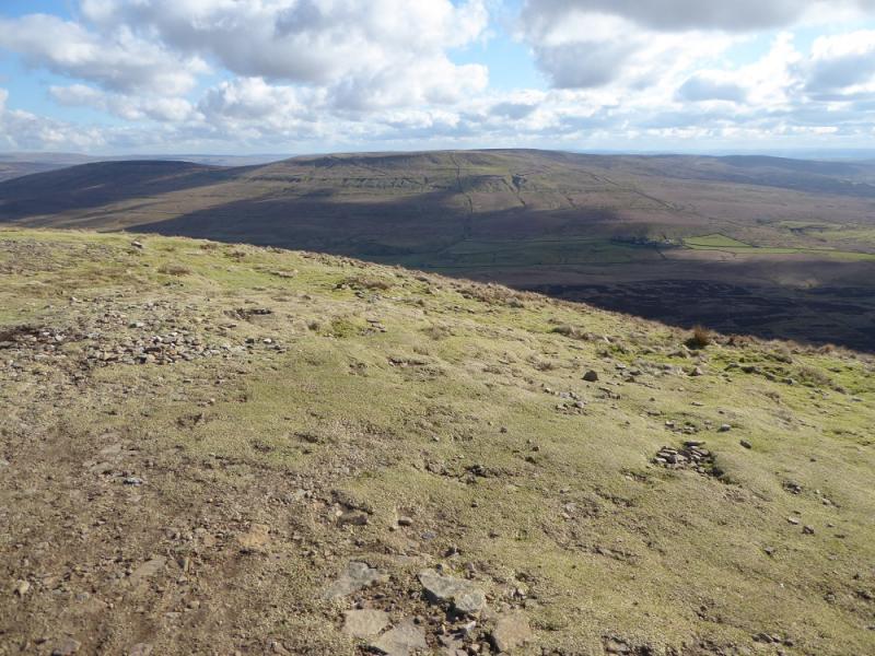
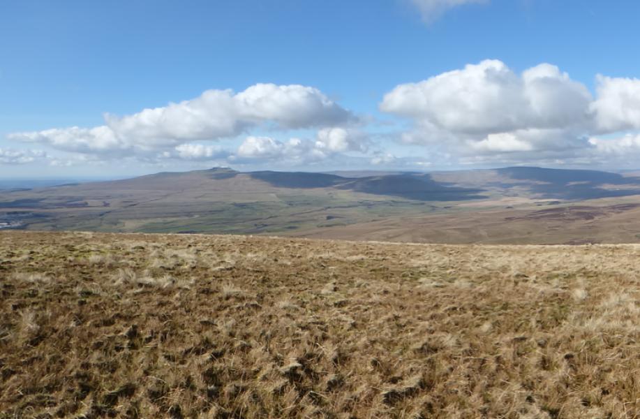
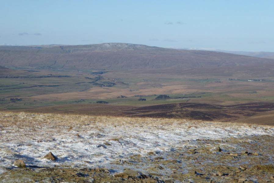
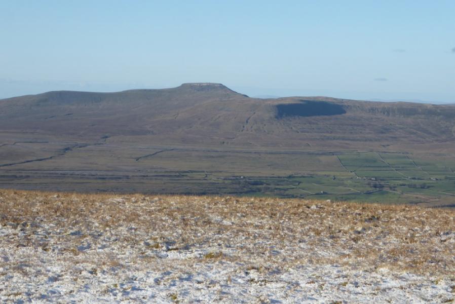
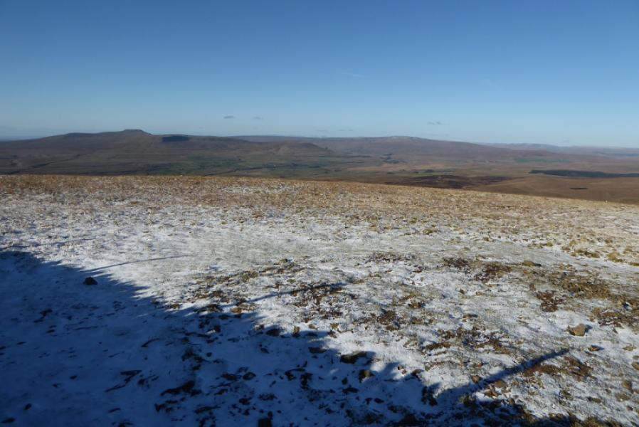
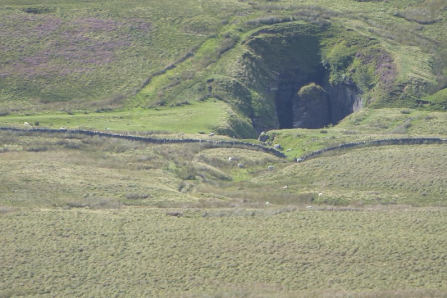
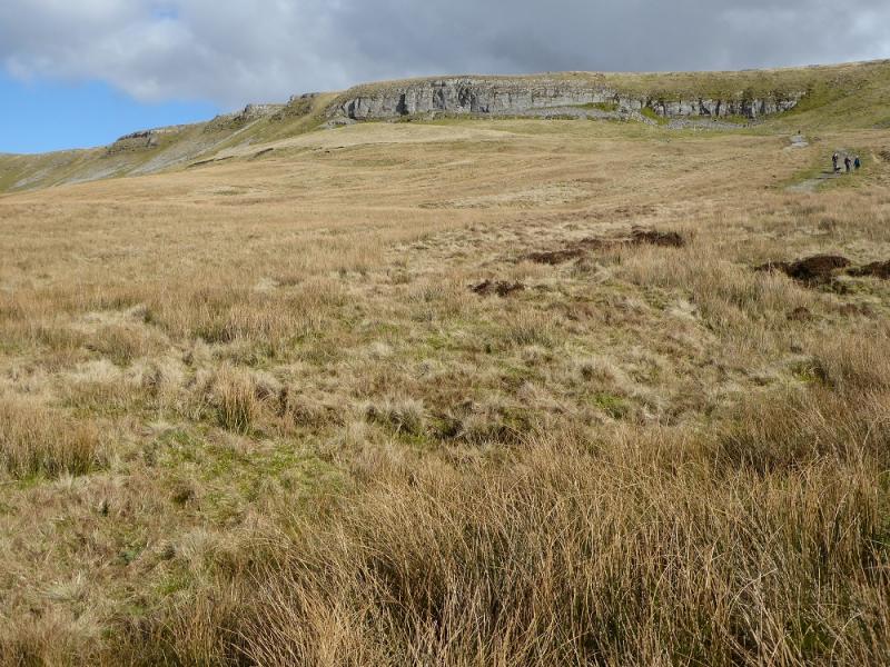
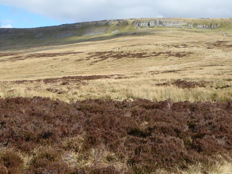
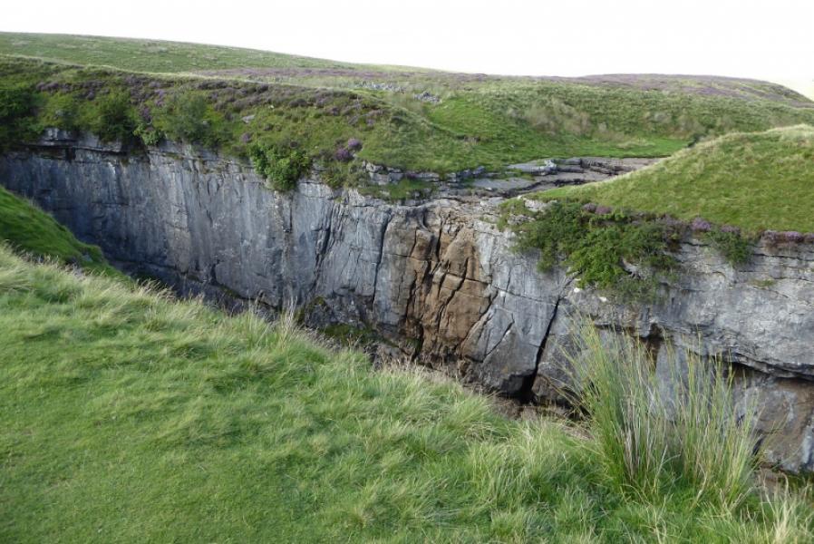
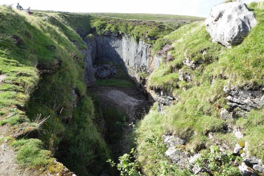
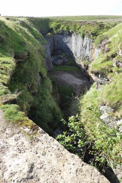
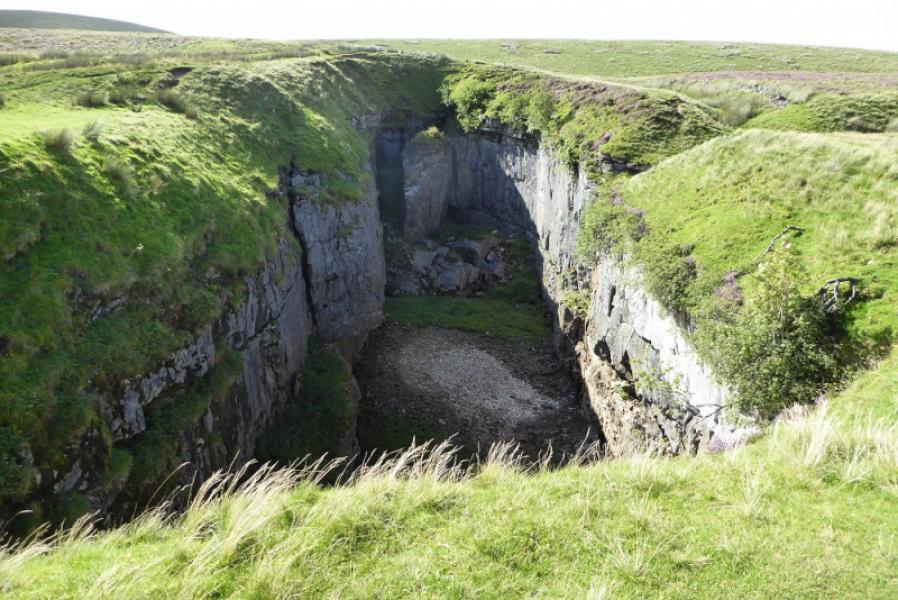
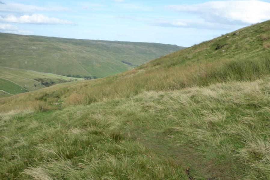
Pen-y-Ghent is the lowest of “The Three (Yorkshire) Peaks” with Ingleborough and Whernside being the other two. Its best approach is up its rocky southern shoulders but that is not part of this route. Navigation is very straightforward even in mist but it is best saved for a clear day when the views are superb in all directions. Plover Hill is a more gentle moorland hill but this means it is often wet and boggy underfoot especially on the descent towards the col before Pen-y-Ghent. Note that the ascent of Plover Hill follows the east ridge and some walls, without stiles, have to be negotiated. Pen-y-Ghent is descended by the Pennine Way to the crossroads at its foot before taking the signed path back to Foxup which is a long 4 miles. This path soon reaches Hull Pot which is a huge hole with clifs making it impossible to descend into easily. Hull Pot is large enough to be seen from the summit of Pen-y-Ghent.
Route
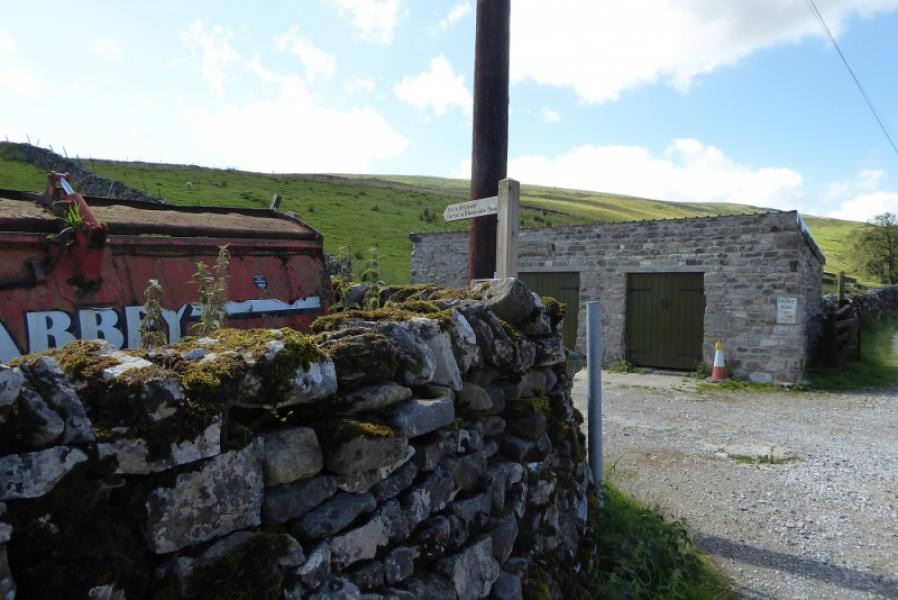
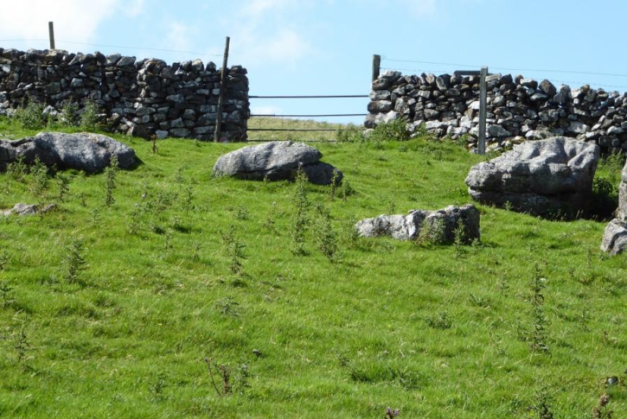
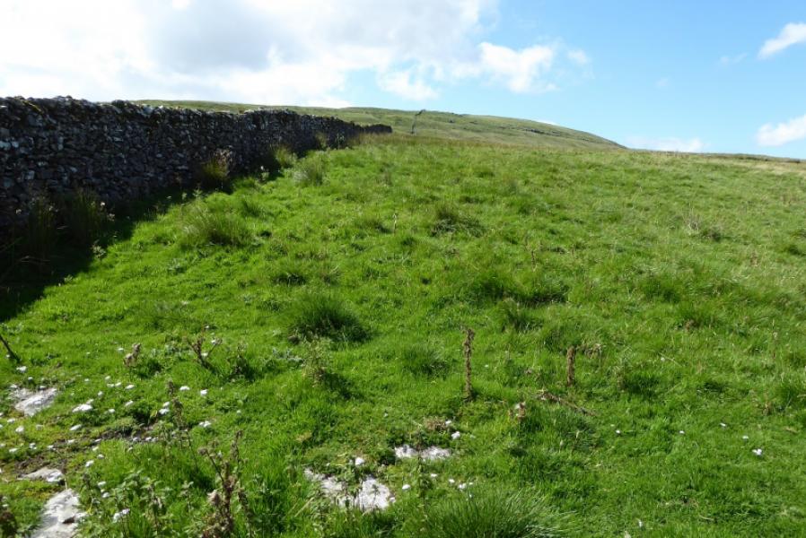
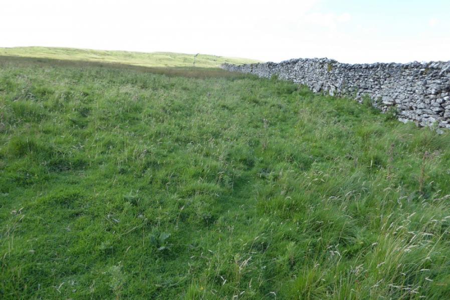
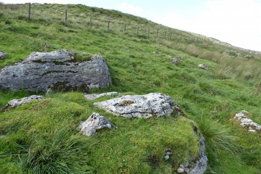
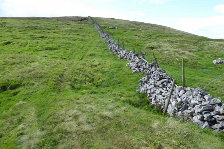
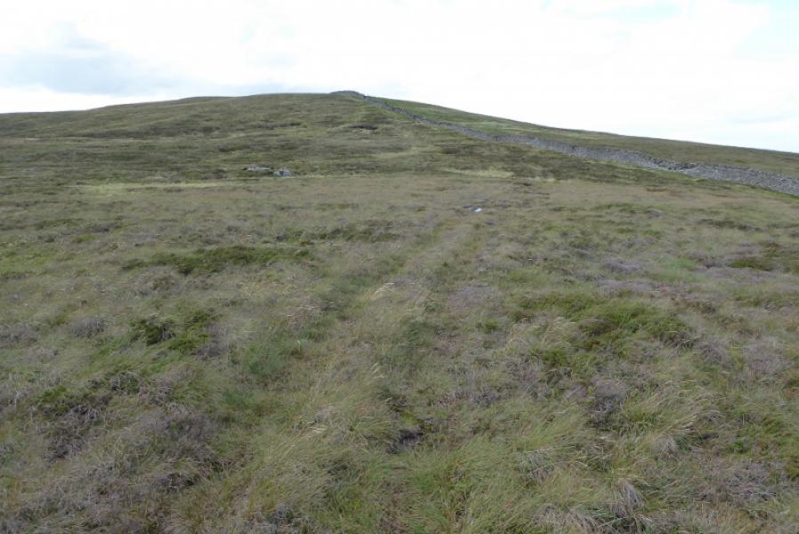
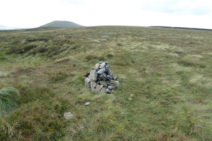
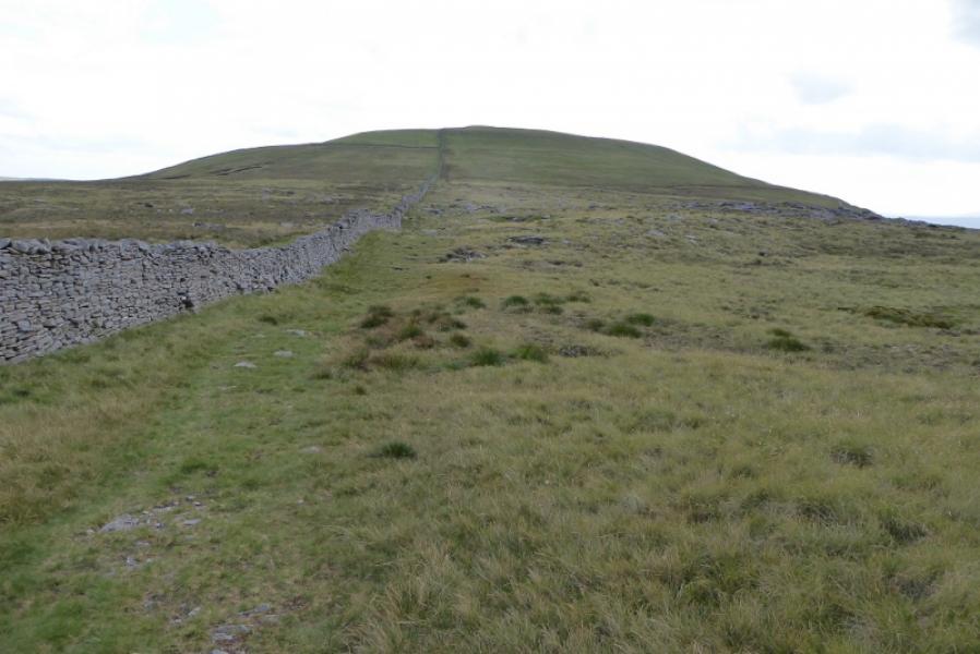
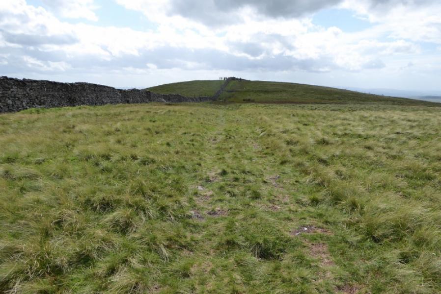
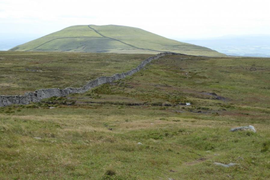
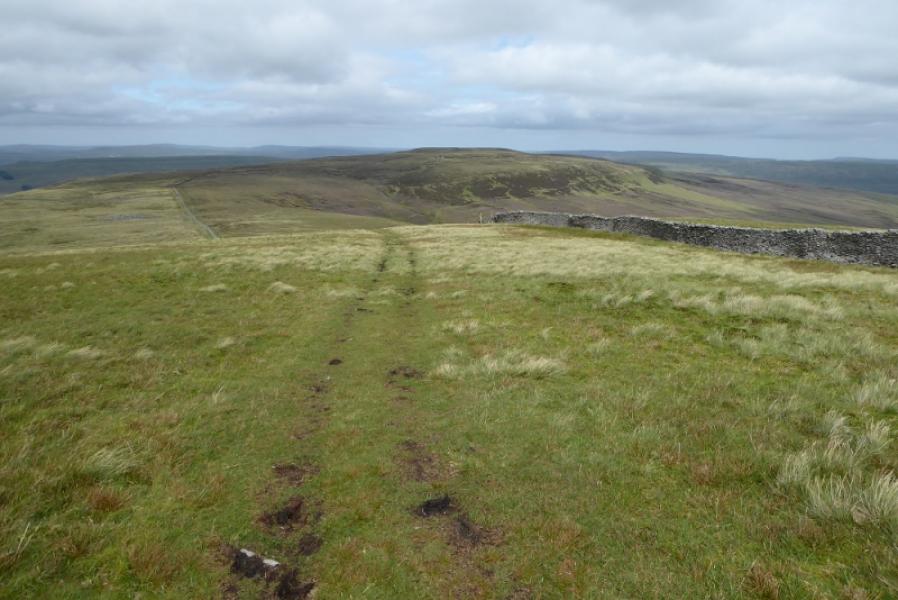
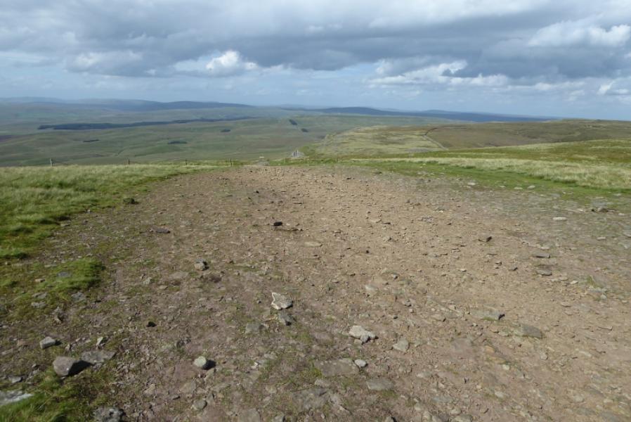
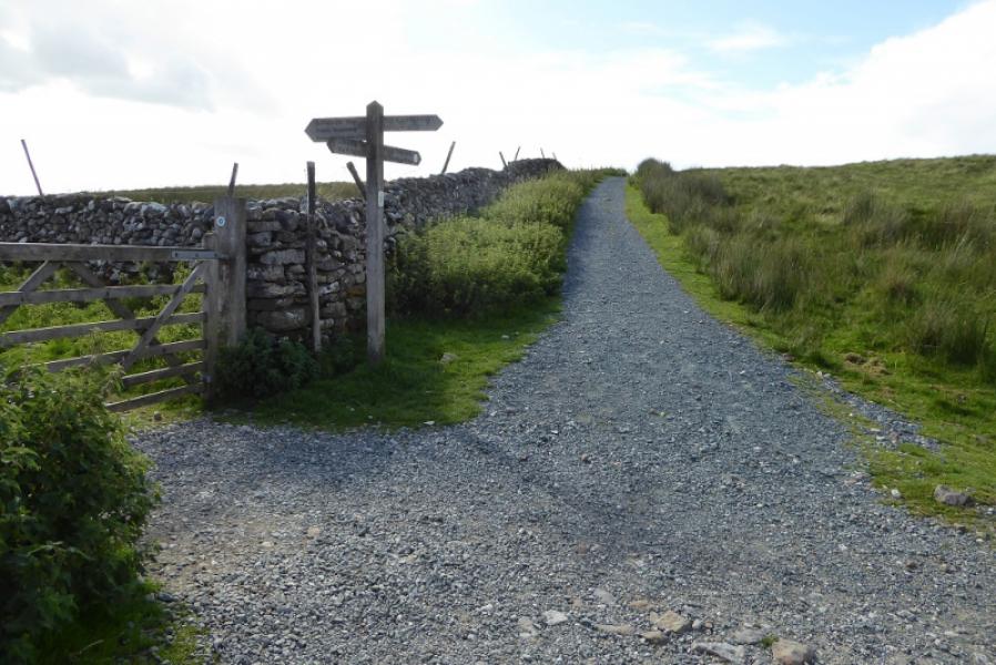
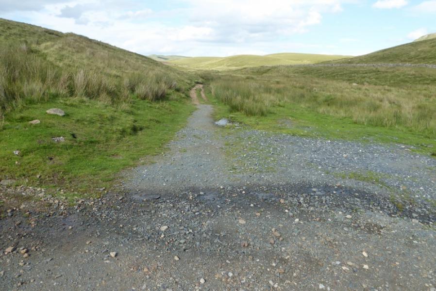
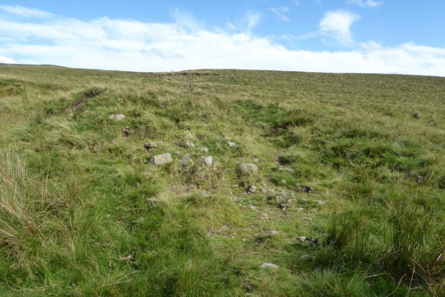
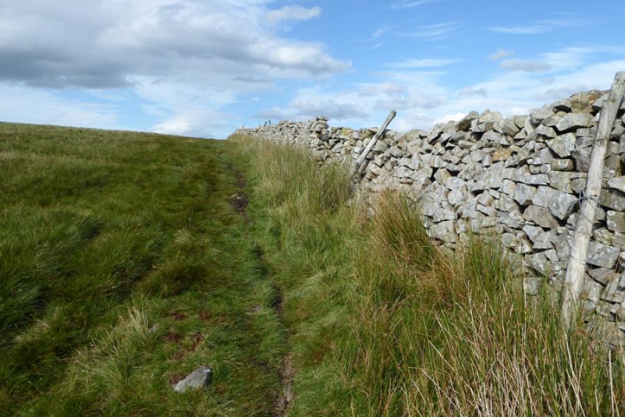
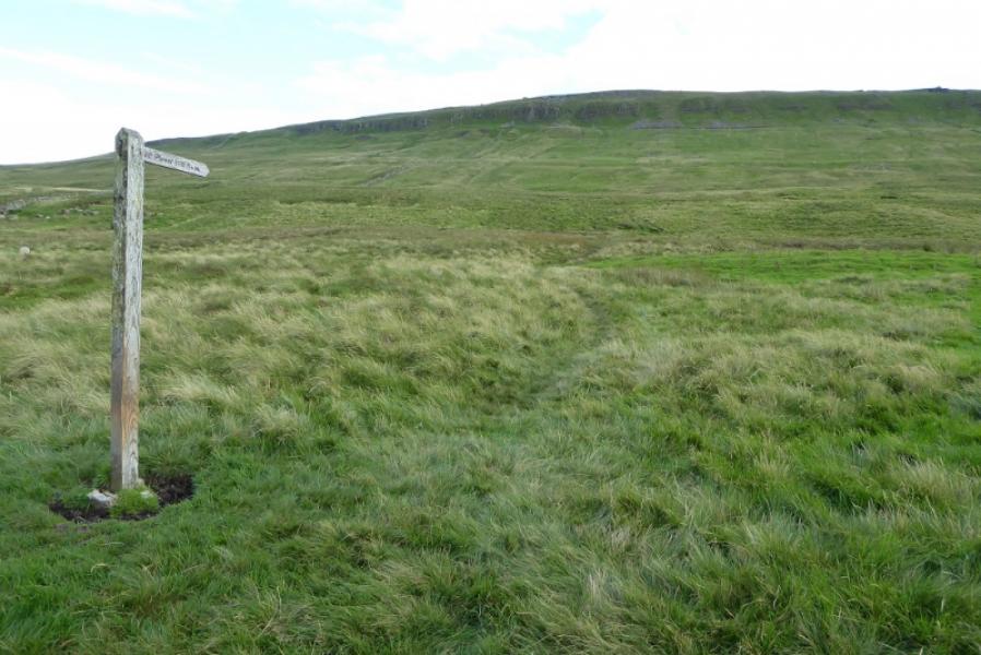
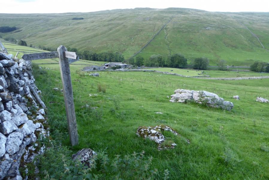
(1) From the end of the public road (soon after the bridge) in Foxup, there is a sign for Horton-in-Ribblesdale pointing uphill (south). Follow the faint path up moderately steep ground. The path splits higher up and there is another sign post. Do not go right, through a gate for Horton, but drift left, diverging from the wall on the right to soon follow a wall on the left. Foolow this for about 1 km, passing through 2 gates. Immediately after the second gate, leave the path and start picking a way uphillusing the wall a s a guide. It is mainly pathless. Soon cross a wall then, after a steepening, cross a fence. Both these are best crossed in the corner as there is no stile. Continue up, on less steep ground, still using the wall as a guide. After just less than a km, cross another wall without a stile. A faint path soon appears after this wall. In about 1 km, reach the summit plateau where there is a small cairn marking the summit of Plover Hill, 680 m, about 50 m south of the wall. The summit plateau is quite featureless so, in mist, stay close to the wall until another wall joins from the north – this may not be seen if you cannot see over the wall! A faint path then leads roughly SSW to the summit cairn.
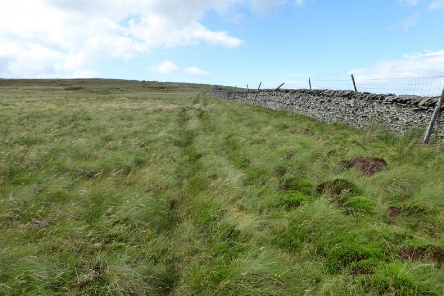
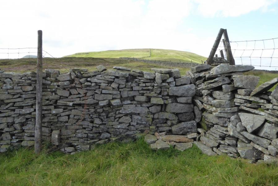
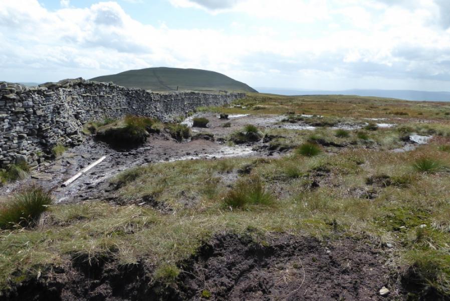
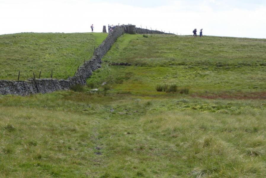
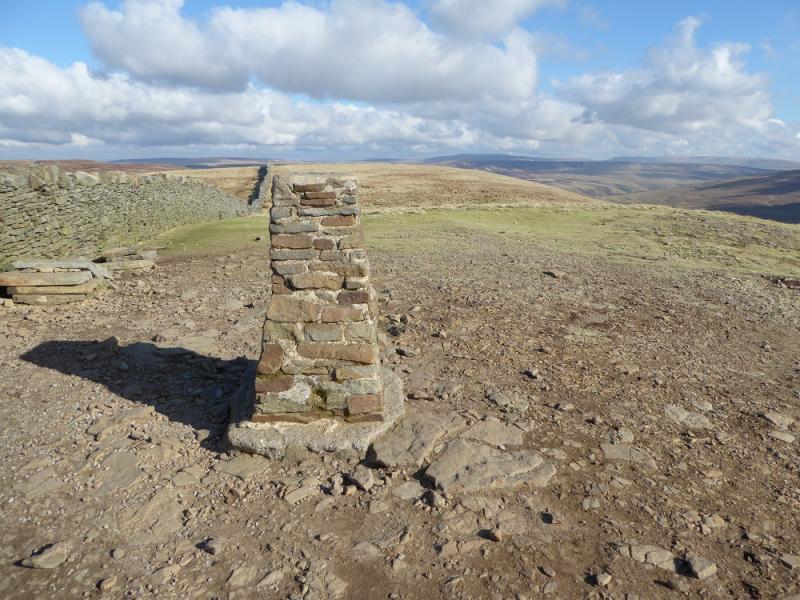
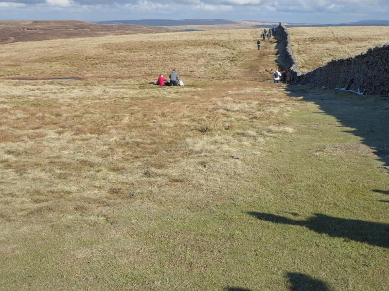
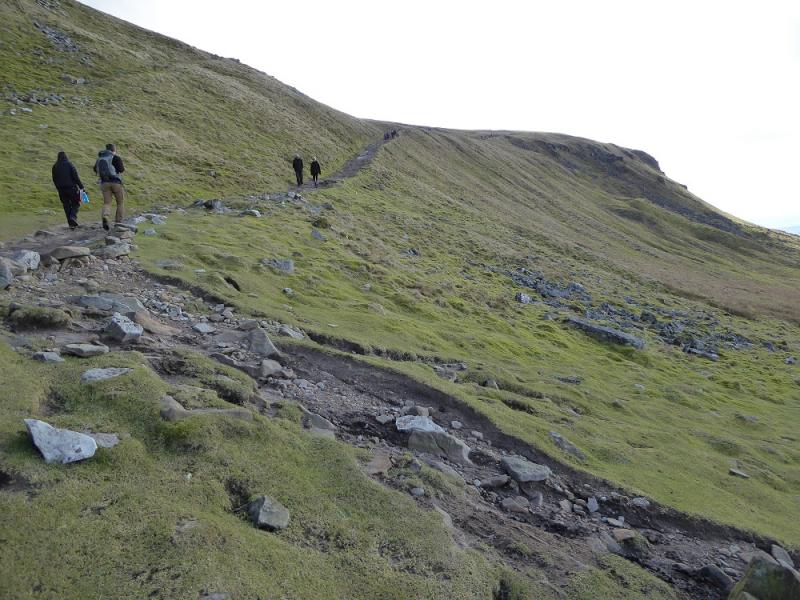
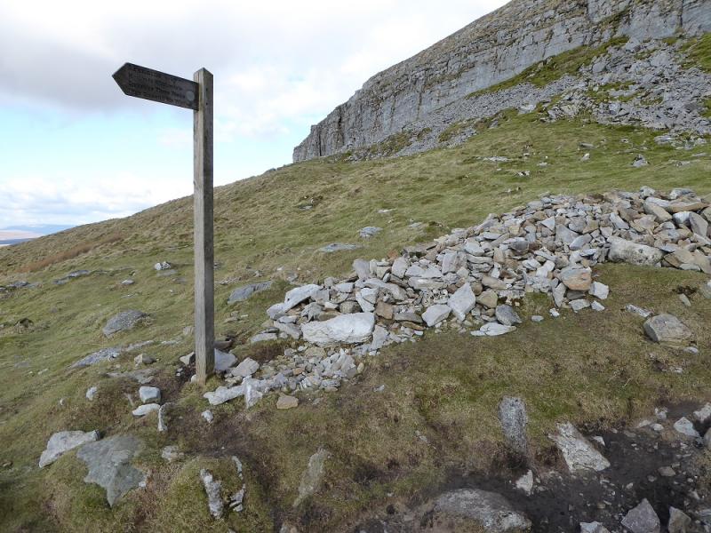
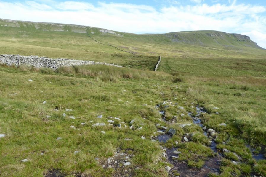
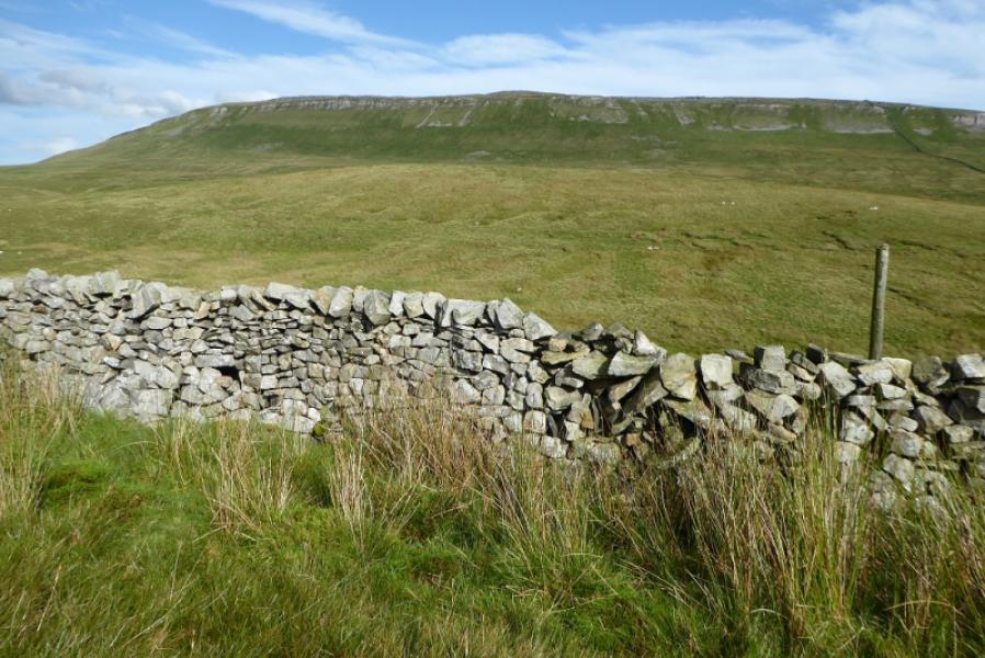
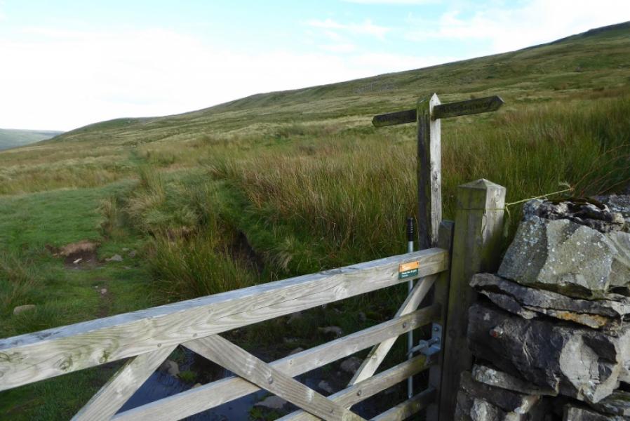
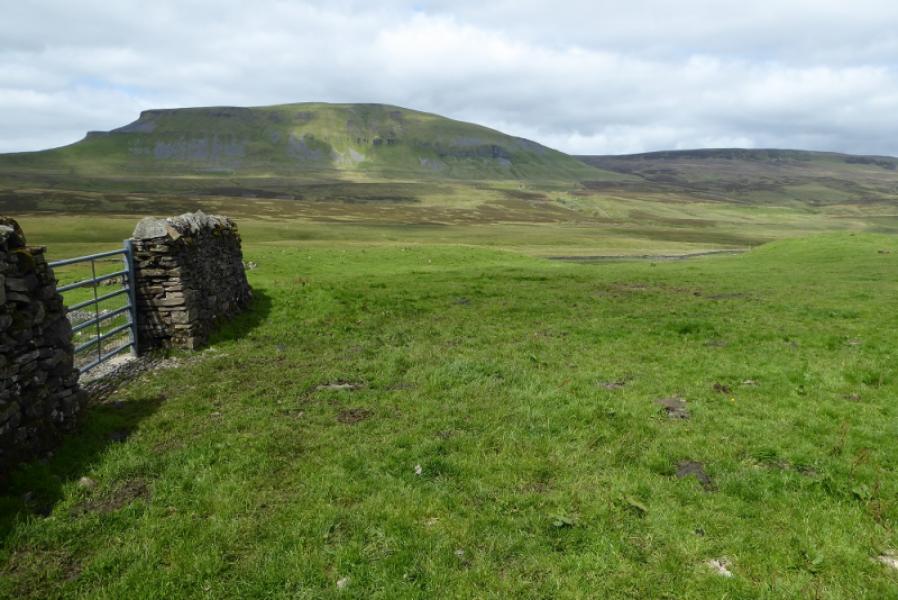
(2) Rejoin the wall and cross it, either at the corner with the other wall or further west where it has partially collapsed. Continue along the wall to reach a stile after which you are roughly following a different wall heading south then south west. The ground starts to become peaty and boggy but there are various paths and the wall is a very good guide. It gradually swings west to reach a corner where it turns south to reach the broad col below Pen-y-Ghent. Continue up, still following the wall and soon reach better ground. The trig point is soon reached which is the summit of Pen-y-Ghent, 694 m. This is very close to the wall on the crest which has a small seating area built into it. There is a very useful sign post on the wall.
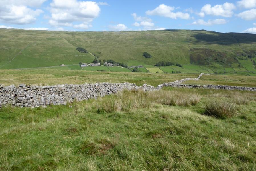
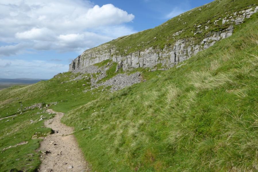
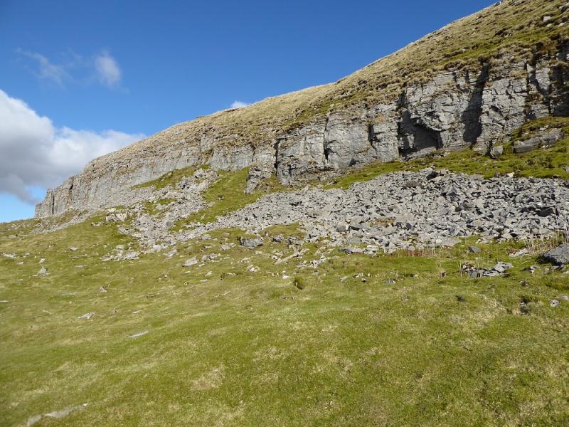
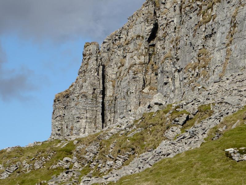
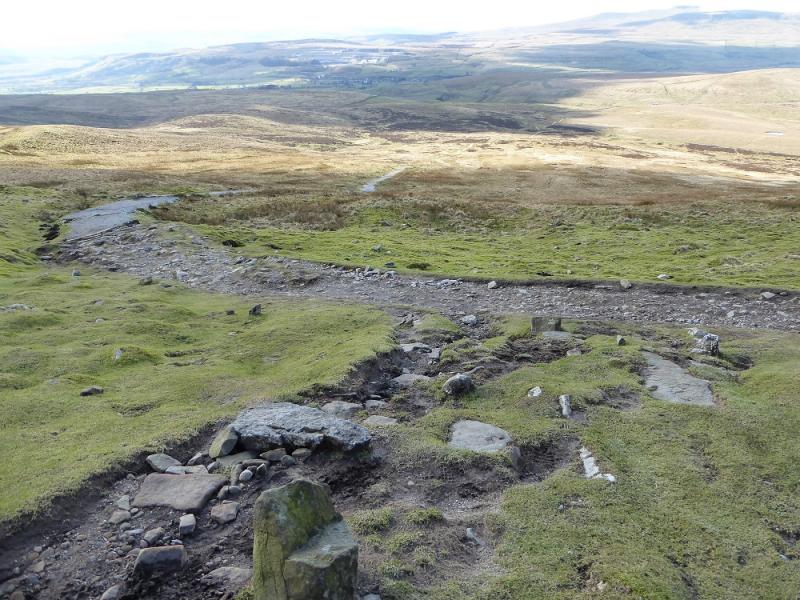
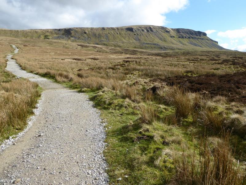
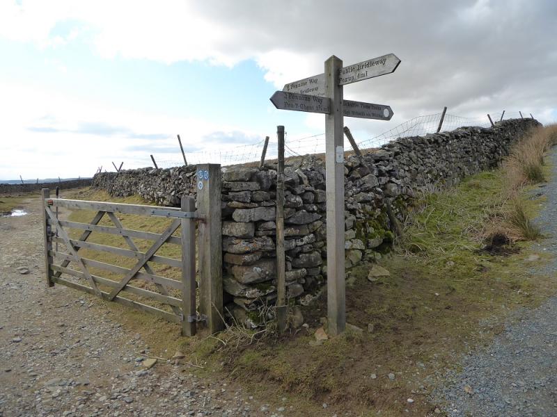
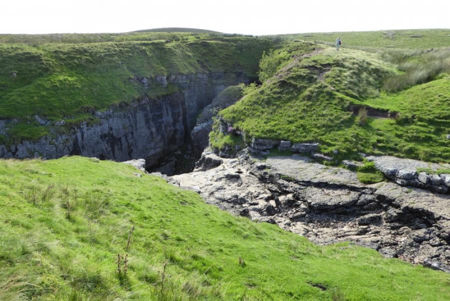
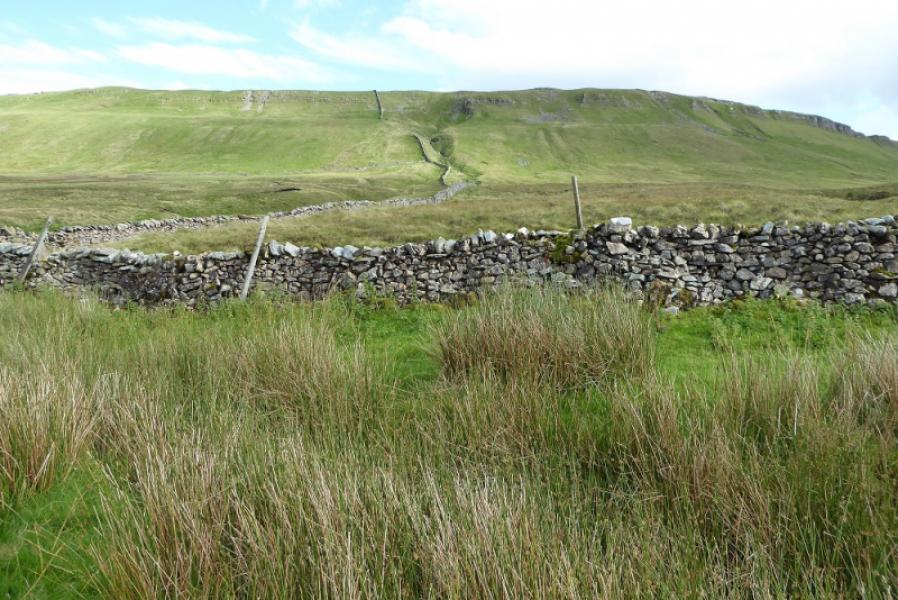
(3) Cross the wall and follow the sign for Horton, roughly NW. Initially the path is very wide but soon narrows as it turns N along the edge to the W. Further down, the path goes sharply left, again signed, just below a limestone crag (on the right). The path steepens for a while before easing and then, after about 1.8 km, reaches a crossroads with a sign post. Go right, signed Foxup, and follow the good path for about 400 m to reach the huge hole known as Hull Pot. Be careful as all sides of the hole have high cliffs but there is a path all the way around it
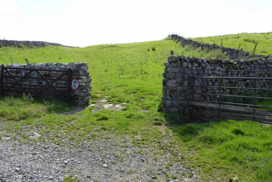
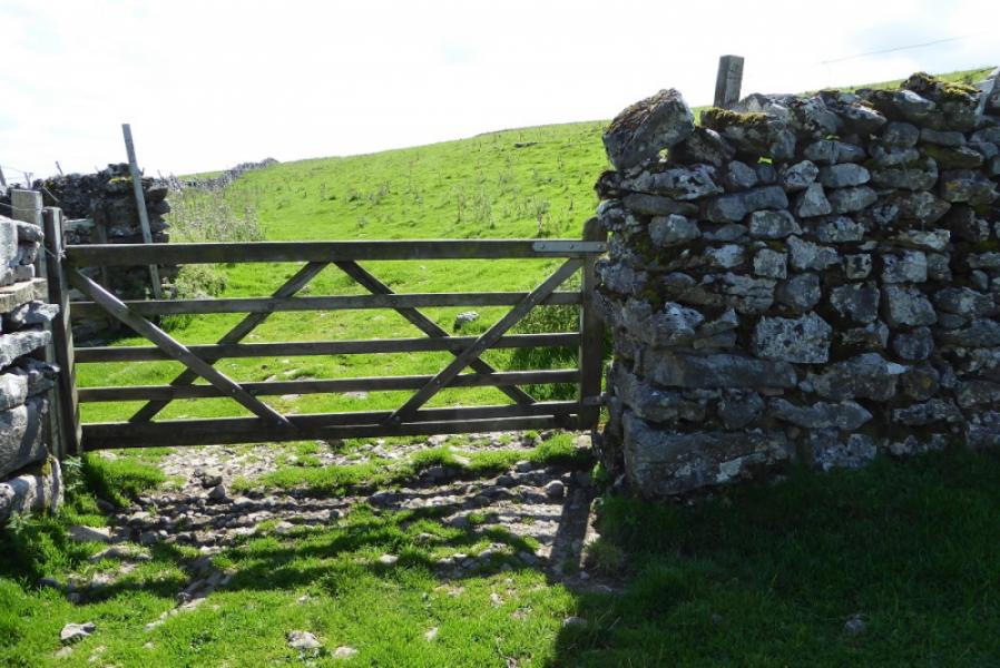
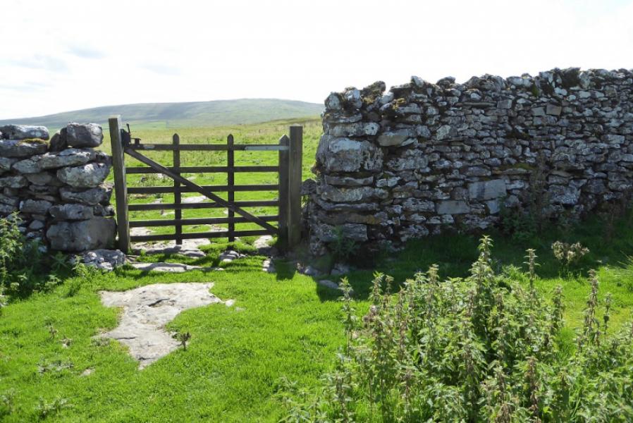
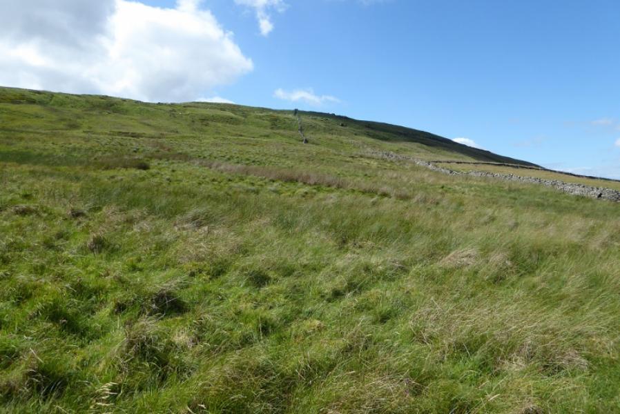
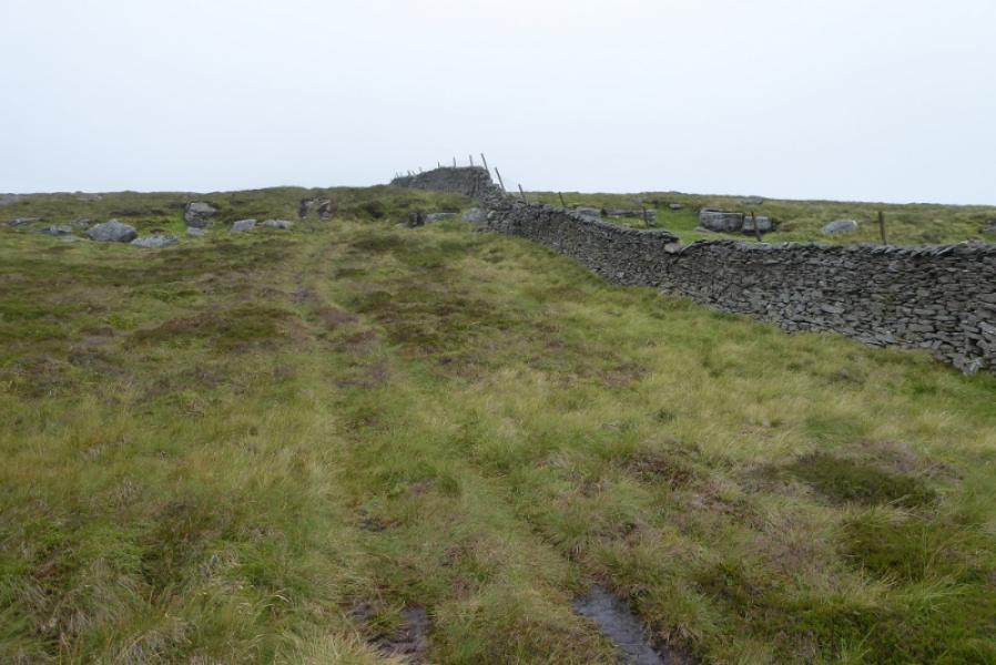
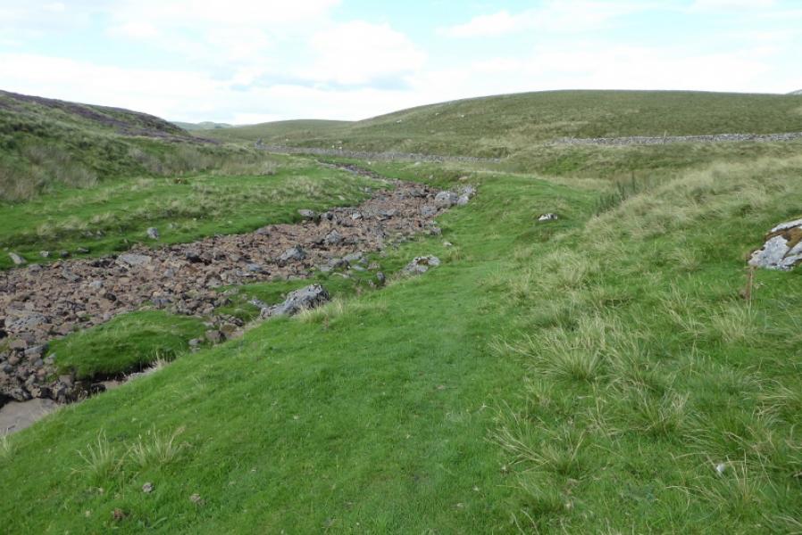
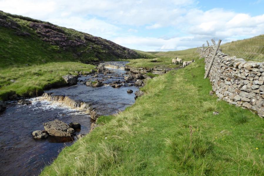
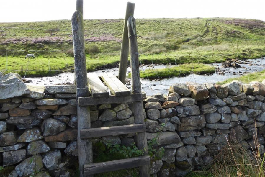
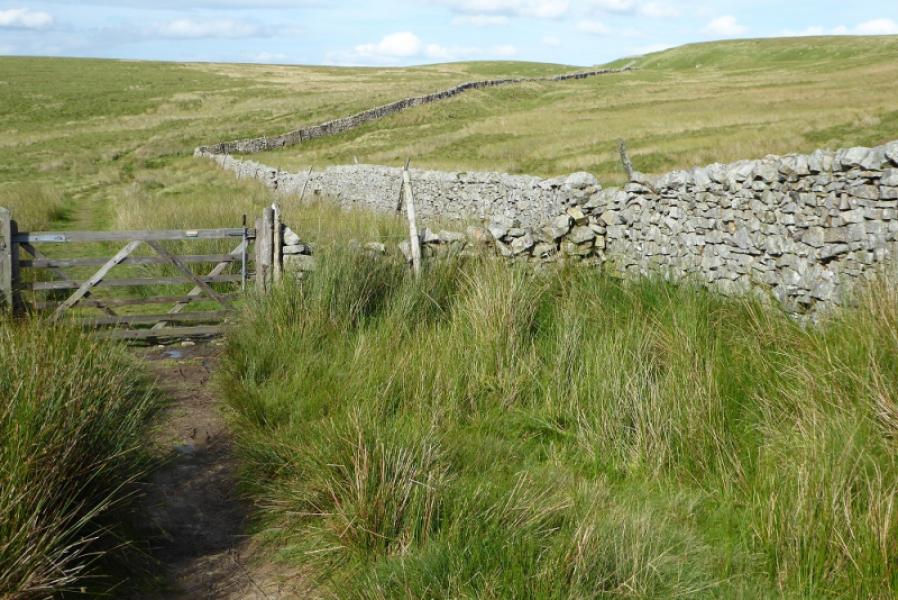
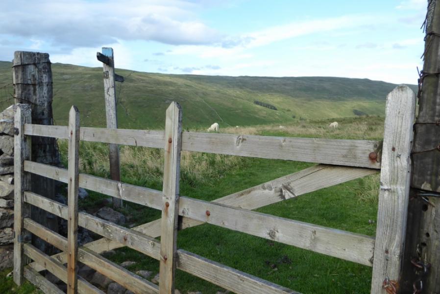
(4) The path back to Foxup goes right at Hull Pot but it is worth continuing ahead on a faint path alongside Hull Pot Beck. This may be dry to start with but soon comes to life. Continue a little further to reach a stile over the wall on the right then head uphill on a rough, stony path which goes south east so it feels like you are doubling back slightly. Reach the corner of a wall then go left alongside the wall; you are now on the main path back to Foxup. Follow the path and wall north east, gradually curving around to the east. All the time you are below the more attractive side of Plover Hill. All walls and fences have gates or stiles and there are a few stone slab bridges for crossing streams. Pass a sign, about 3 km from Hull Pot, indicating a path up Plover Hill and continue. Keep following the path, for a further 2.5 km, which is now contouring under the north side of Plover Hill. Just before reaching a wall, the track starts to descend on slippery ground before crossing the wall lower down. Continue descending to go through the gate passed at the start of the walk then descend down into Foxup on the ascent route.
Notes
(a) This walk took place on 20th August, 2020.
Photos - Hover over photo for caption. Click on to enlarge. Click on again to reduce.