Get Lost Mountaineering
You are here: England » Yorkshire Dales » Western Area
Plover Hill from Upper Hesleden on Halton Gill to Stainforth Road
Plover Hill from Upper Hesleden on Halton Gill to Stainforth Road
Start/Finish
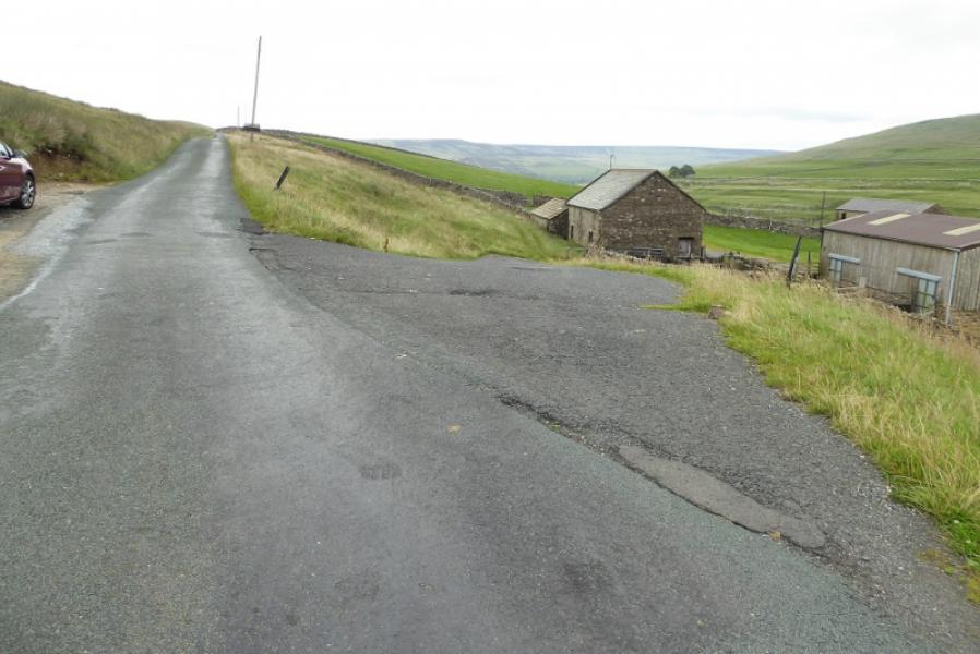
Rough layby opposite entrance to Upper Hesleden (a collection of buildings) about 5.5 miles up the road to Halton Gill from Stainforth (on the Settle to Horton-in-Ribblesdale road) at SD 842 714. This is a very minor road which can soon be blocked by snow in winter. If coming from Settle then take the second turning into Stainforth where there is a car park with toilets if needed before continuing up the Halton Gill road. Upper Hesleden (coming from Stainforth) is after the high point of the road and on a level section after losing height. Parking is quite restricted so if you cannot park by Upper Hesleden then the best option is to look for a spot nearer to Stainforth. In dry weather, the verges can be parked on.
Distance/Time
6 km. About 2 – 3 hours.
Peaks
Plover Hill, 680 m, SD 849 752.
OL2 Yorkshire Dales: Western Area
Introduction
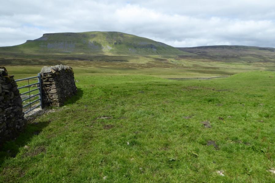
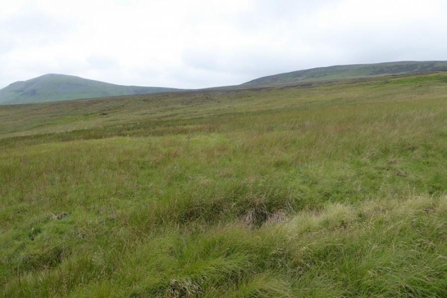
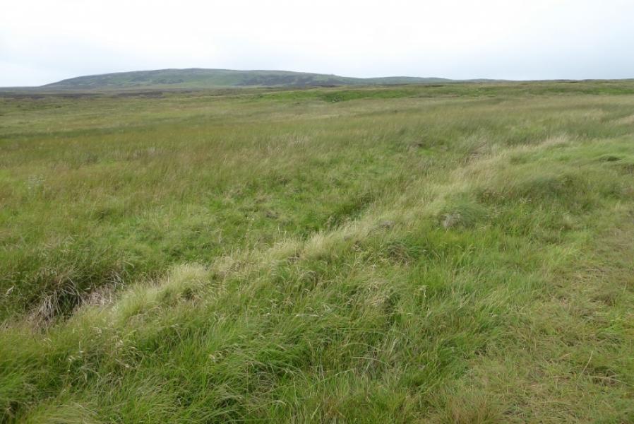
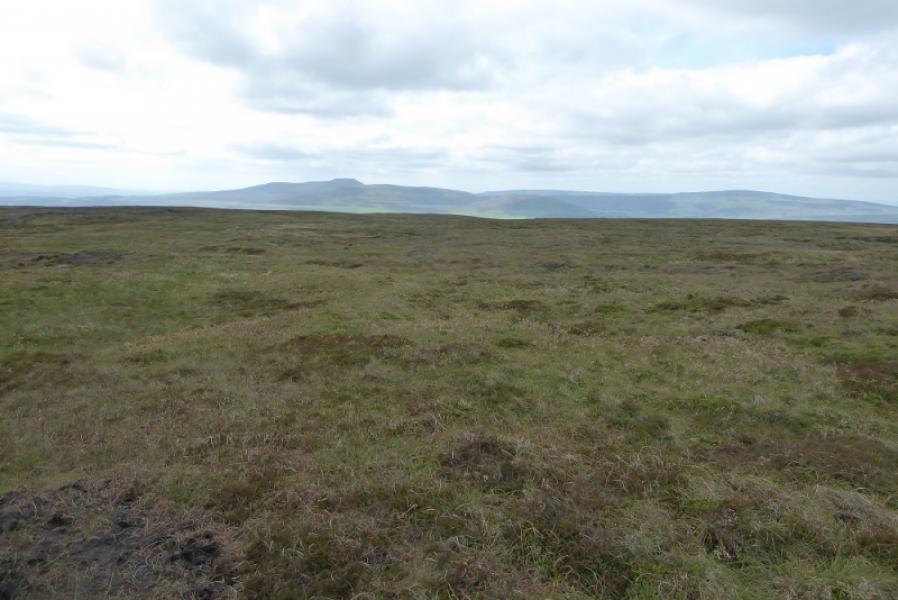
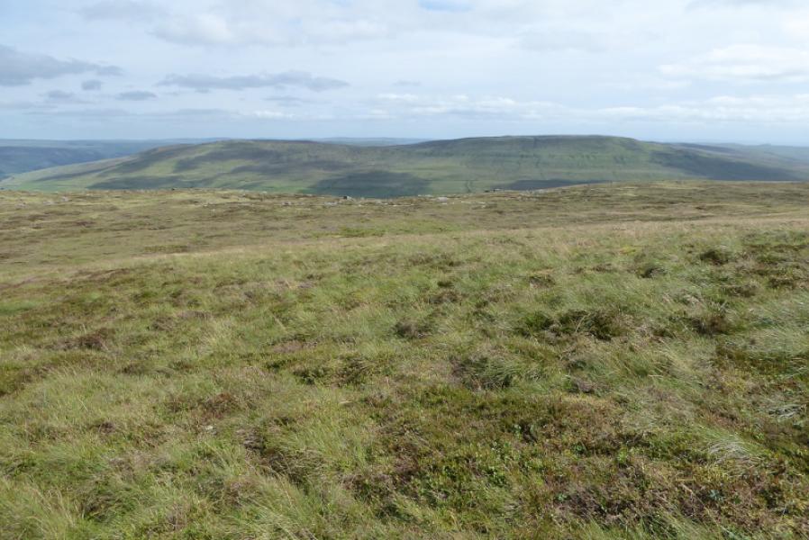
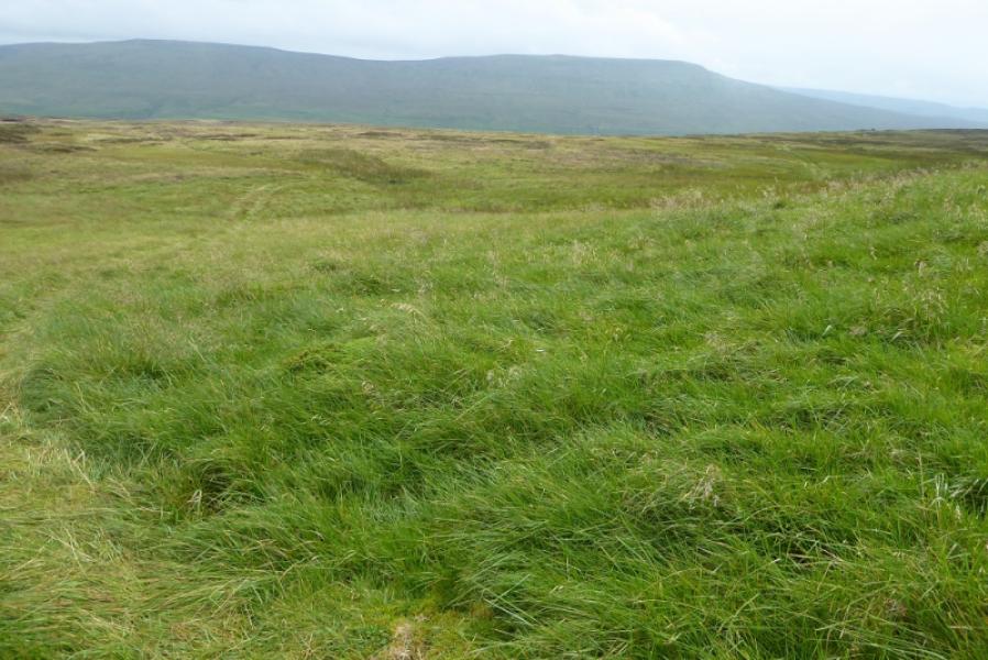
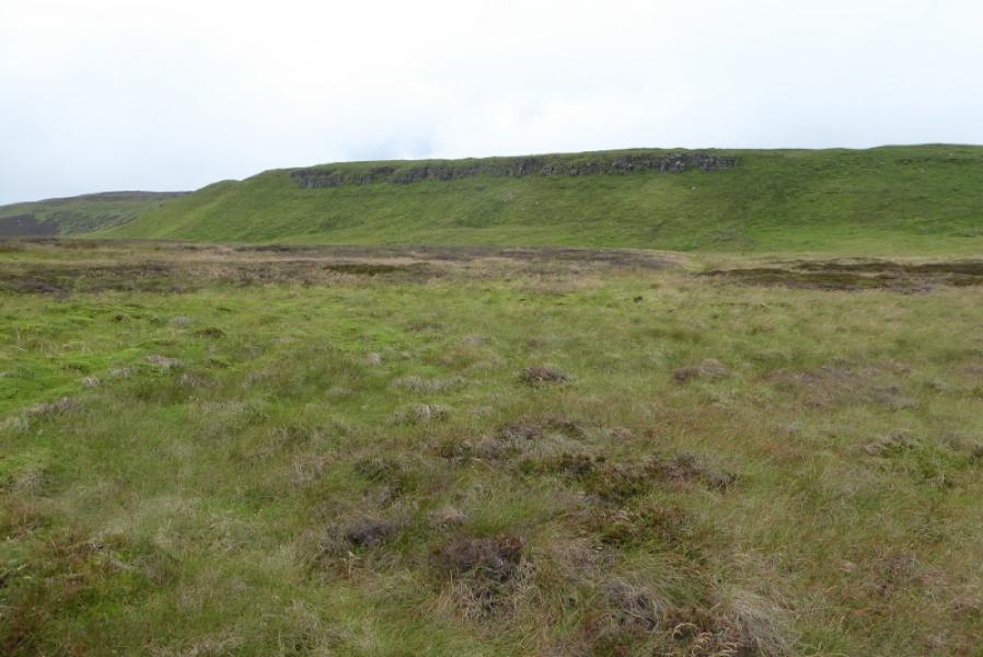
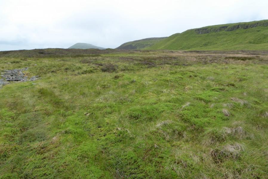
Plover Hill is part of a ridge which includes Pen-y-Ghent, one of “The Three (Yorkshire) Peaks” with Ingleborough and Whernside being the other two. The two hills are often ascended together but this route just ascends Plover Hill which is very much neglected compared to Pen-y-Ghent. The ascent and descent are by the same route using a faint grassy track from Upper Hesleden which leads to the wall along the east ridge that passes close to the summit. So long as the track is visible then navigation is very straightforward even in mist but it is best saved for a clear day when the views are superb in all directions. Compared to Pen-y-Ghent, Plover Hill is a more gentle moorland hill but this means it is often wet and boggy underfoot especially when approached from Pen-y-Ghent. Some may be tempted to make a more direct descent of Plover Hill but that would be pathless and very rough underfoot.
Route
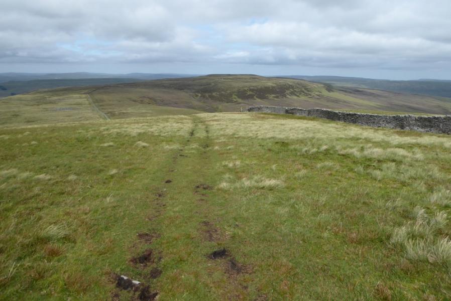
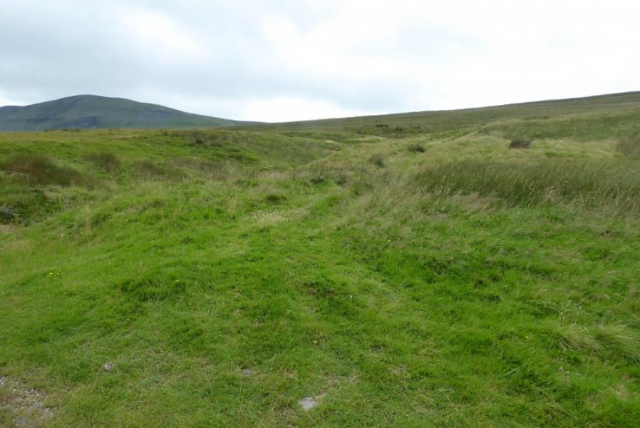
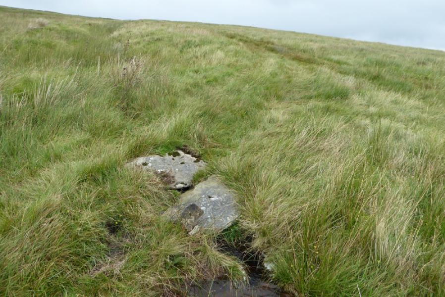
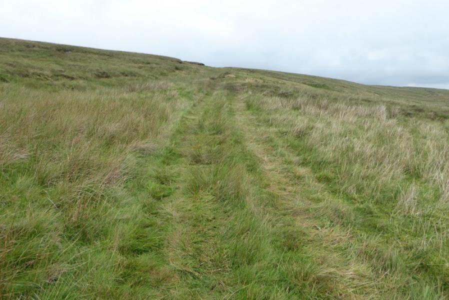
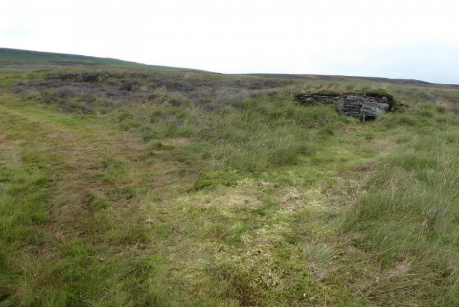
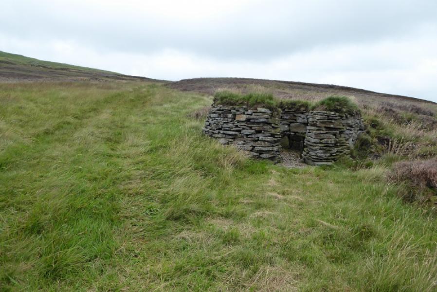
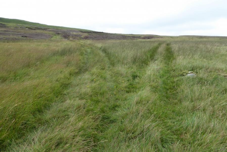
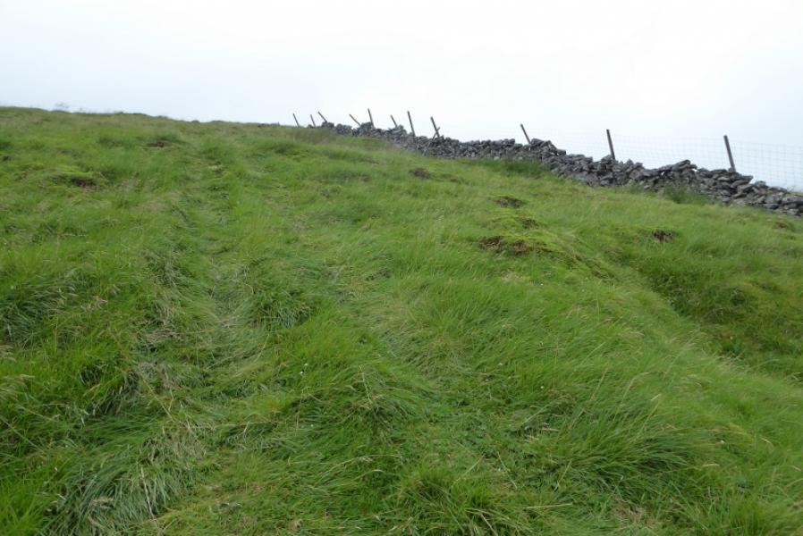
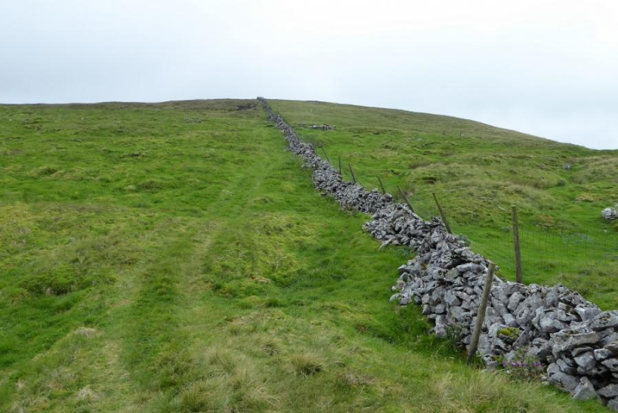
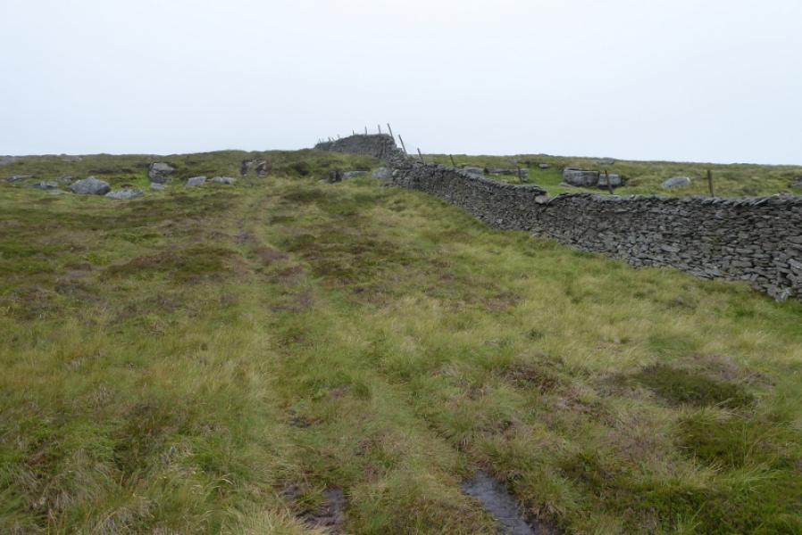
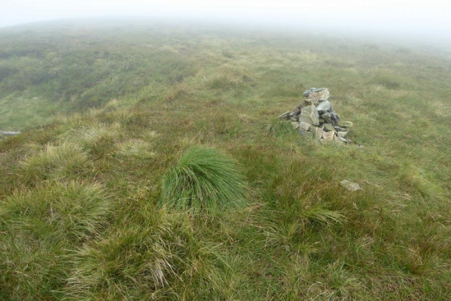
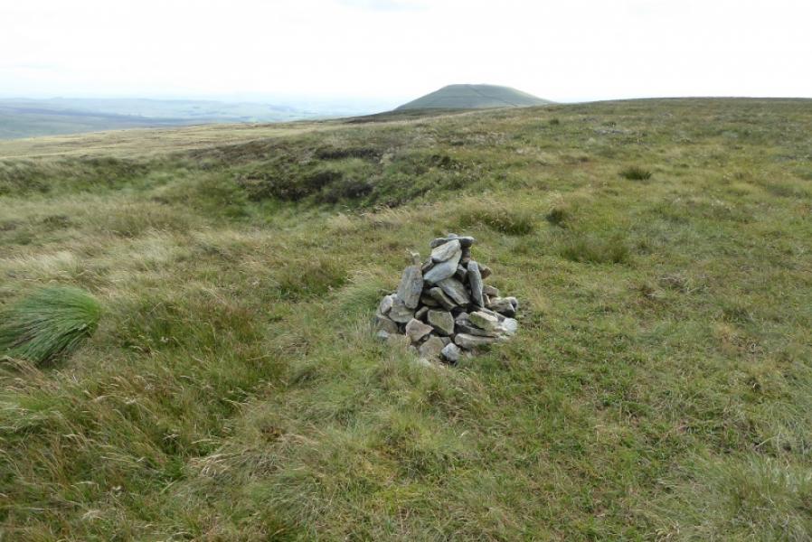
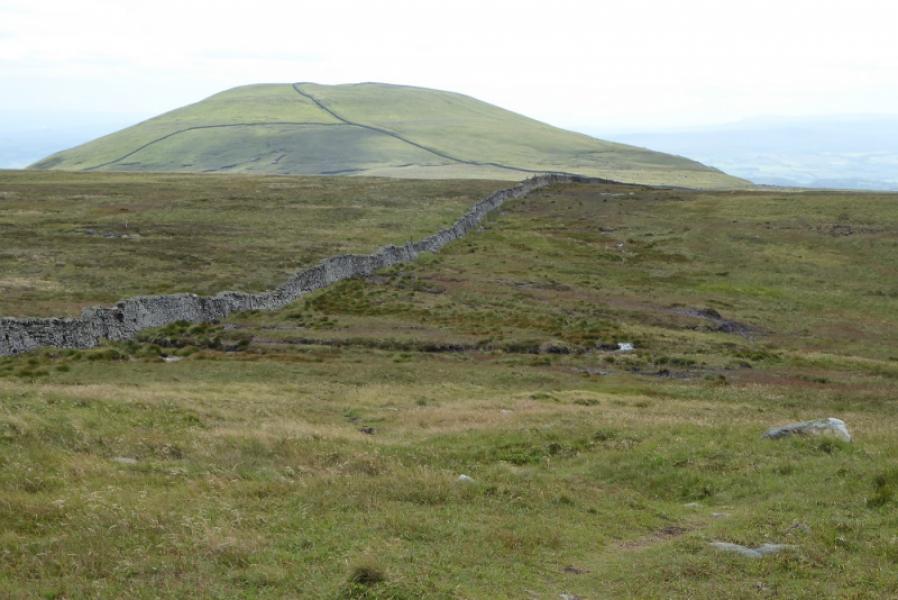
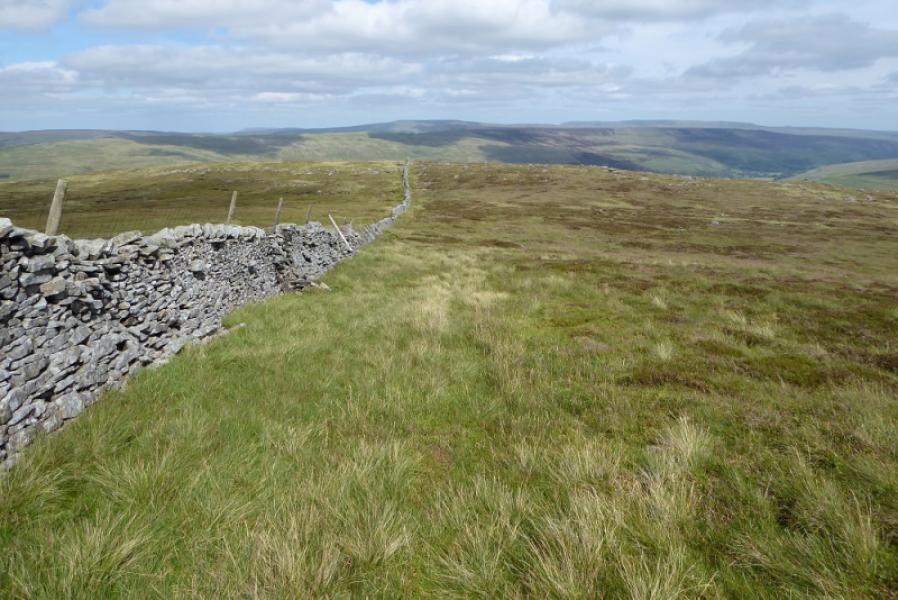
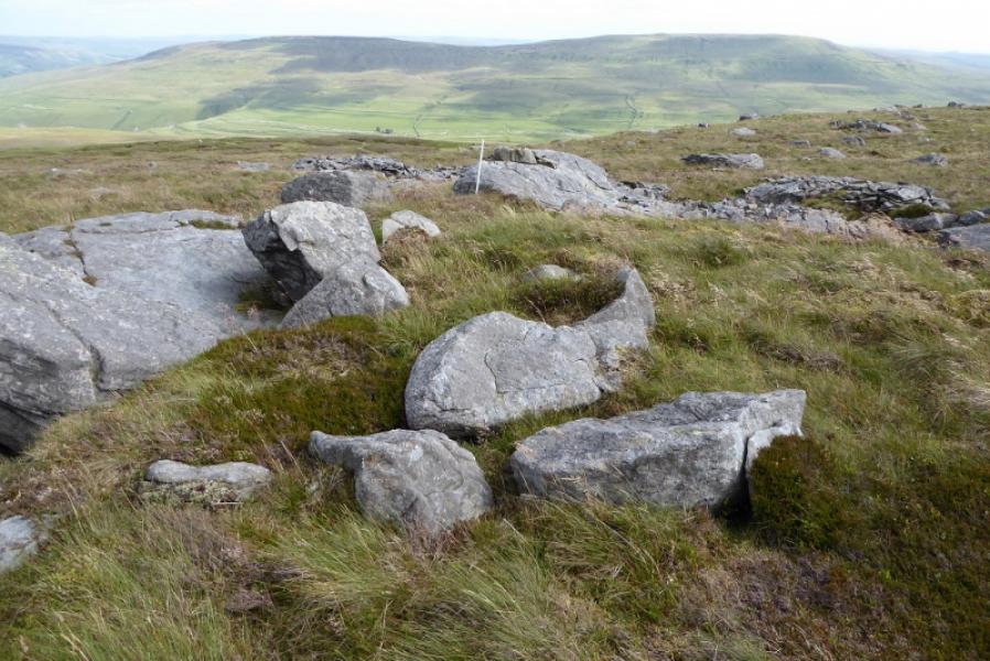
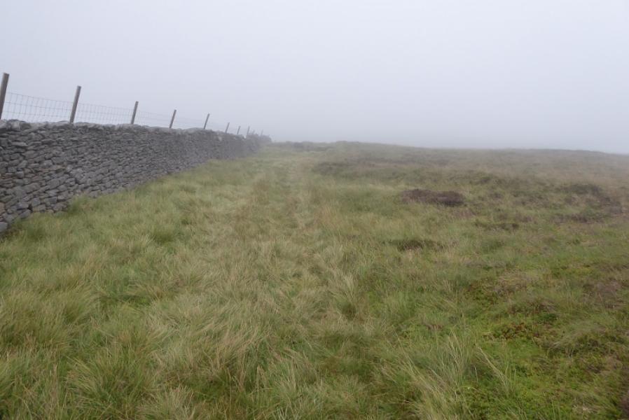
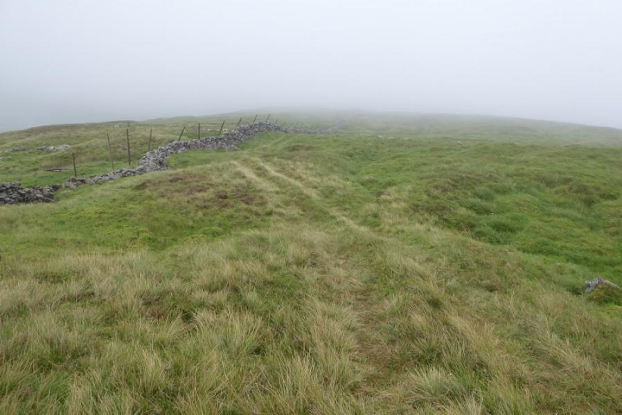
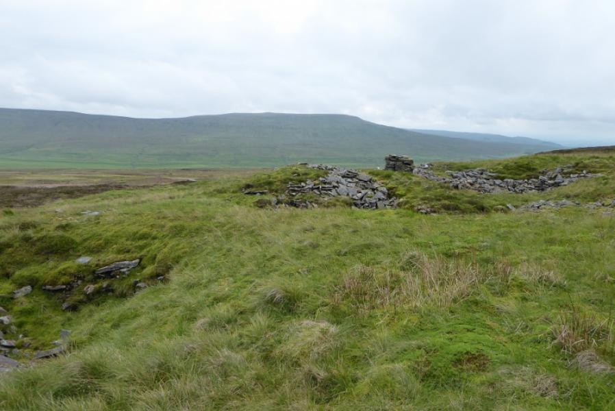
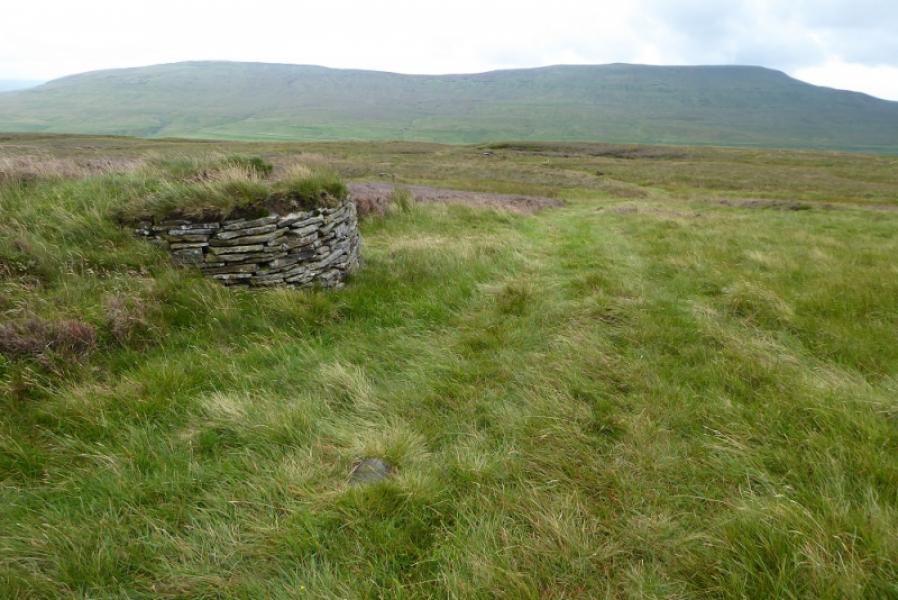
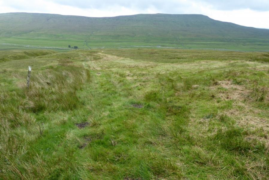
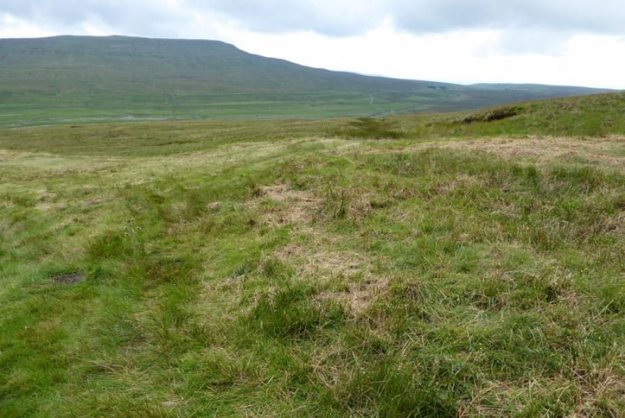
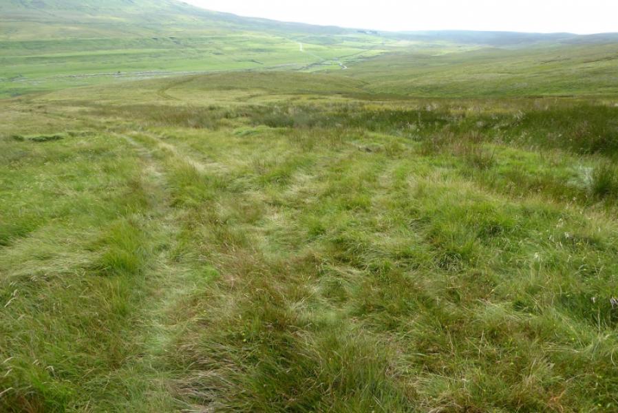
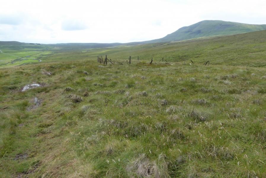
(1) From the entrance to Upper Hesleden, walk a short distance west tot he first stream. Just before this stream, a grassy track heads up hill. Follow the track, which can be wet in places. It joins other tracks on the way up, passes a square fenced enclosure, two grouse butts then forks left higher up towards a heathery area where there is a squat cairn in a stony area. Continue on the track to reach a wall. Follow the wall and track uphill to reach the summit plateau where there is a small cairn marking the summit of Plover Hill, 680 m, about 50 m south of the wall. The summit plateau is quite featureless so, in mist, stay close to the wall until another wall joins from the north – this may not be seen if you cannot see over the wall! A faint path leads roughly SSW to the summit cairn.
(2) Retrace the ascent route. Any more direct route will be steep, rough and pathless and is not recommended. Leave the wall, about 200 m before it starts to zig zag, to go right and pick up the descent track which soon leads to the squat cairn. Continue down, forking right at each junction to pass the grouse butts then the square enclosure. It is easy to miss these right forks on the way down. Reach the road just to the west of Upper Hesleden.
Notes
(a) This walk took place on 6th August, 2020.
Photos - Hover over photo for caption. Click on to enlarge. Click on again to reduce.