Get Lost Mountaineering
You are here: England » Yorkshire Dales » Western Area
Pen-y-Ghent & Plover Hill from Halton Gill to Stainforth Road
Pen-y-Ghent & Plover Hill from Halton Gill to Stainforth Road
Start/Finish
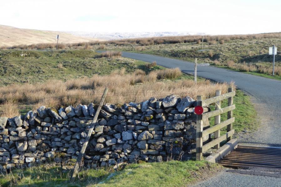
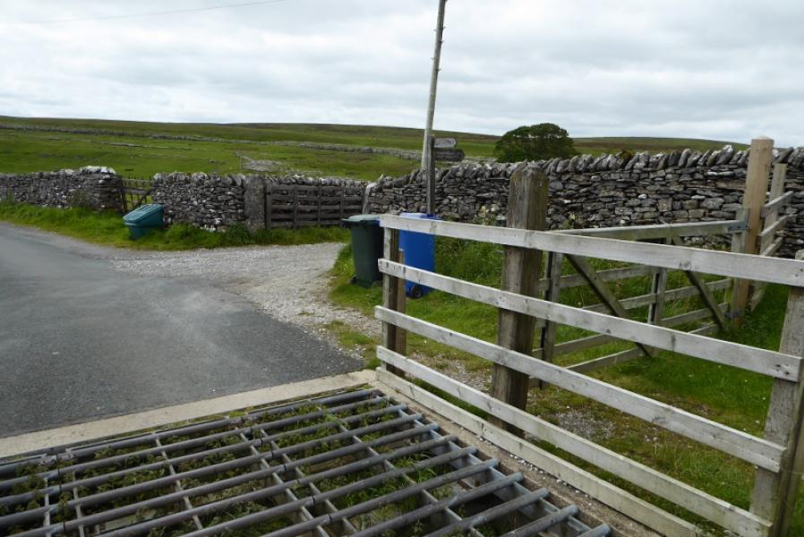
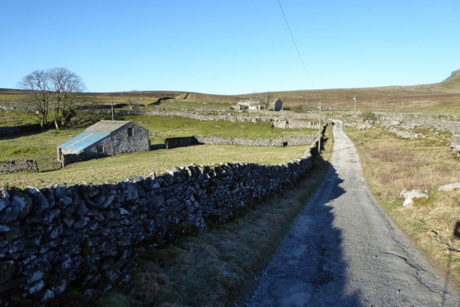
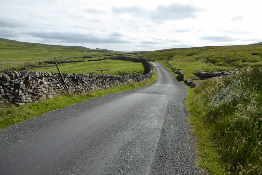
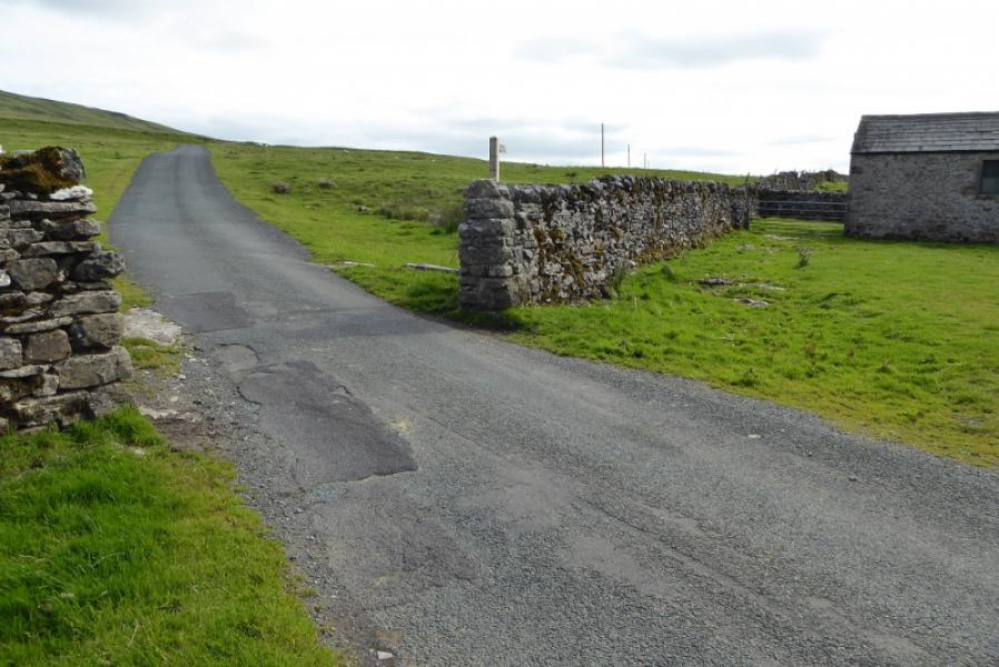
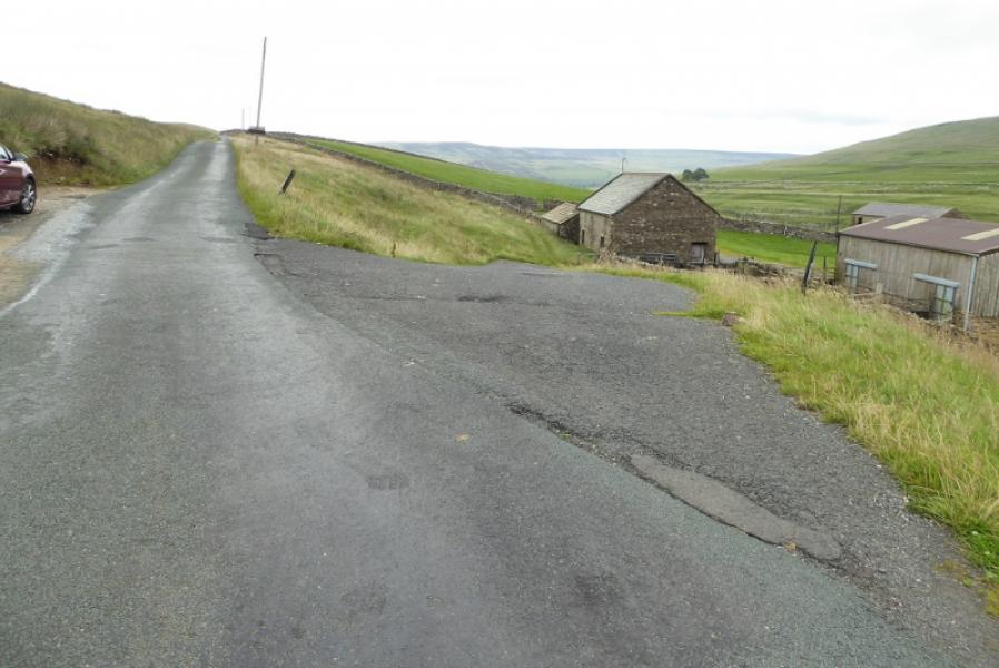
About 4 miles up the road to Halton Gill from Stainforth (on the Settle to Horton-in-Ribblesdale road) at SD 842 714. The Pennine Way sign is just after a cattle grid as the road starts to descend. The track going left for Pen-y-Ghent is about a mile before here. Parking has to be on the verge which may be soft in places. The road is also known as the Silverdale Road. It can soon be blocked by snow in winter. If coming from Settle then take the second turning into Stainforth where there is a car park with toilets if needed before continuing up the Halton Gill road.
Distance/Time
10 km. About 4 hours.
Peaks
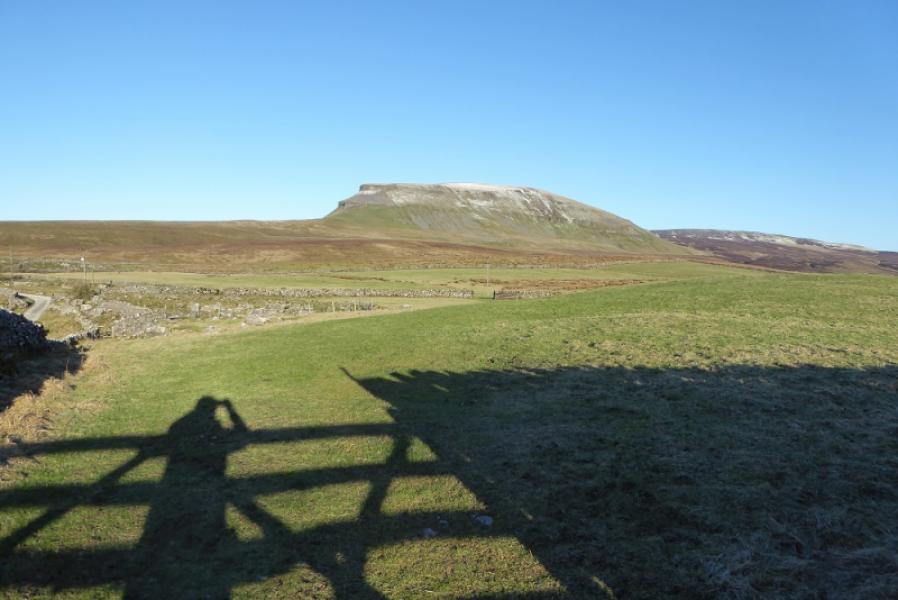
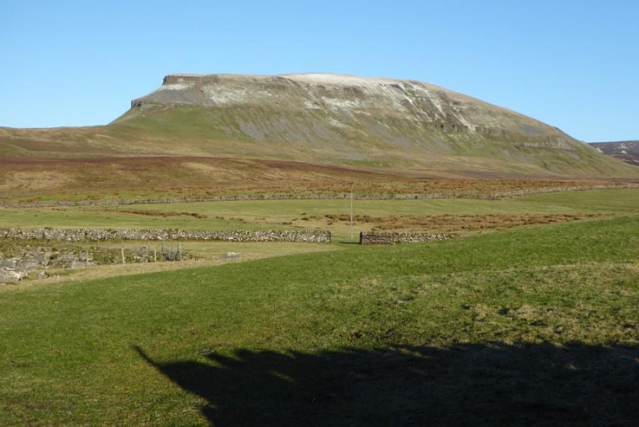
Pen-y-Ghent, 694 m, SD 838 734.
Plover Hill, 680 m, SD 849 752.
OL2 Yorkshire Dales: Western Area
Introduction
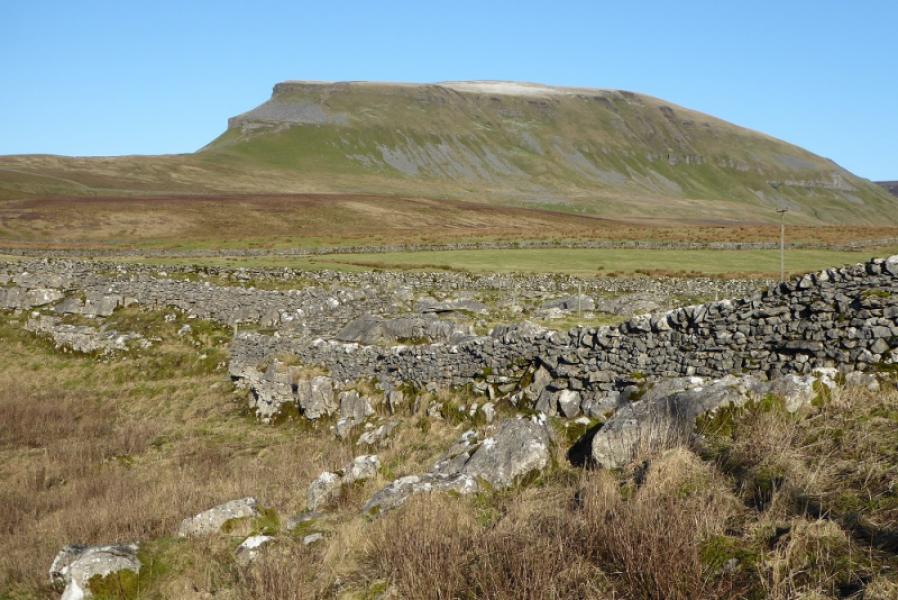
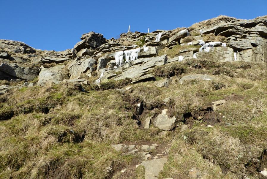
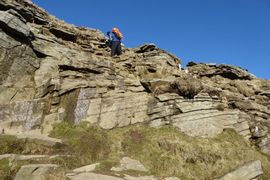
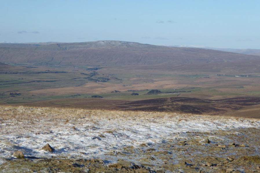
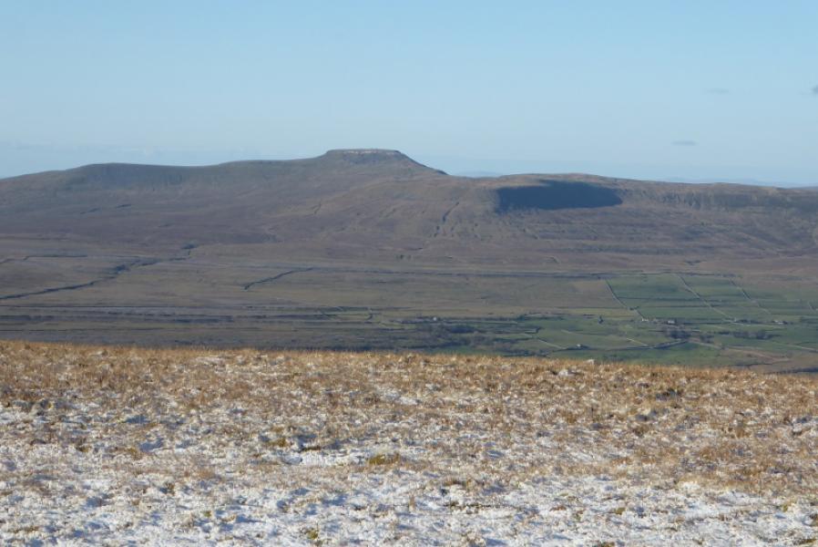
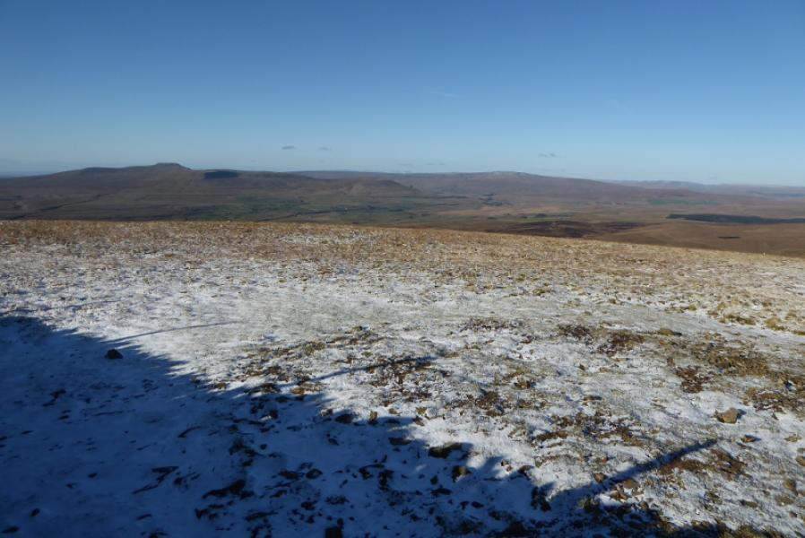
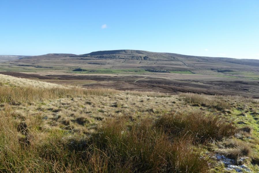
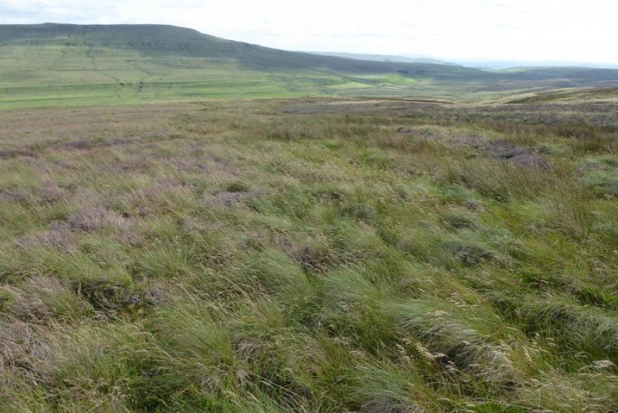
Pen-y-Ghent is the lowest of “The Three (Yorkshire) Peaks” with Ingleborough and Whernside being the other two. Despite this it gives the best ascent of the three with an attractive approach up its rocky southern shoulders. Navigation is very straightforward even in mist but it is best saved for a clear day when the views are superb in all directions. Hands will be needed on the approach up the rocky shoulders but it is not really a scramble unless one chooses to make it so. Note that, in winter, patches of ice may be found amongst the rocks which means more care than usual is needed. Plover Hill is a more gentle moorland hill but this means it is often wet and boggy underfoot especially when approached from Pen-y-Ghent. Note that the descent of Plover Hill is fairly direct and goes down steep and rough pathless ground which many will not enjoy. Another route coming down the wall on the east ridge then descending south to Upper Hesleden is easier and quicker although longer; this is described in the notes.
Route
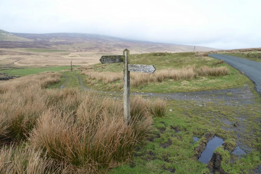
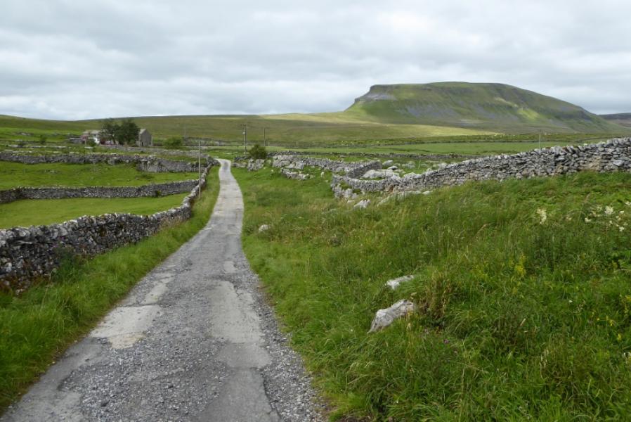
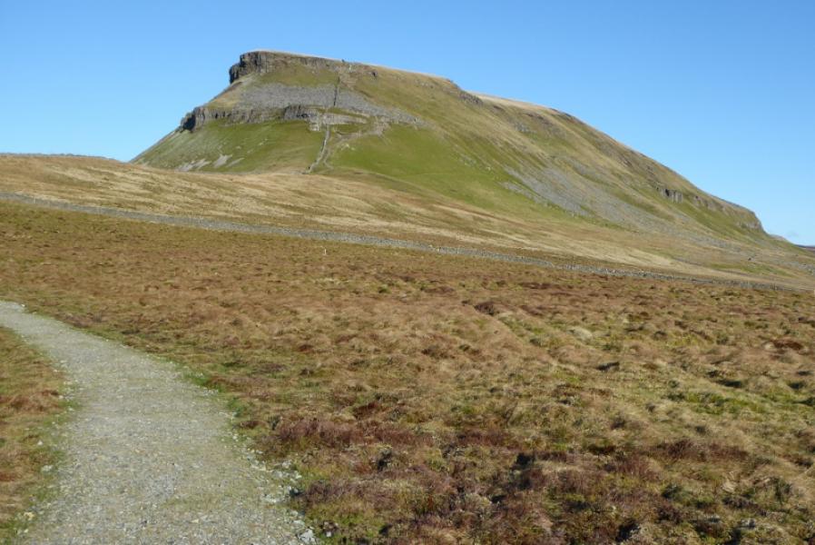
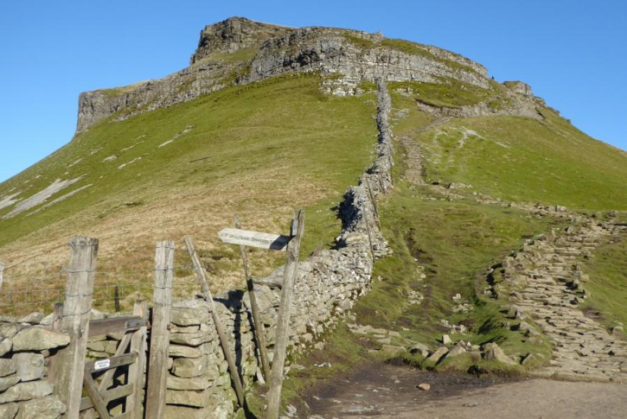
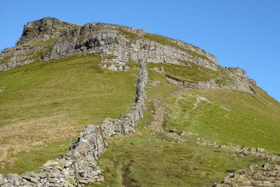
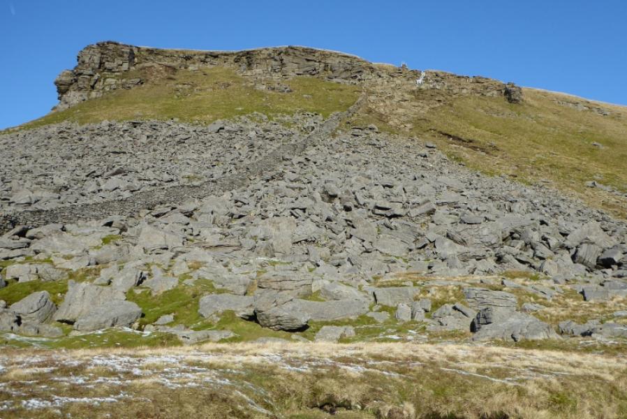
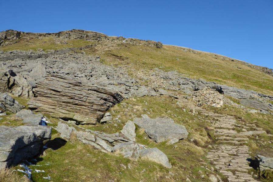
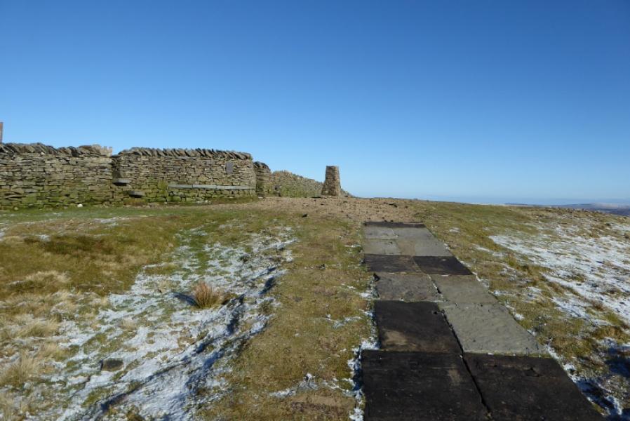
(1) Walk south west, towards Stainforth, on the road as far as far as the Pennine Way sign for Pen-y-Ghent at a cattle grid where cars are often parked. Follow the Pennine Way sign to pass Dale Head and continue on the track to reach a bend where the path leaves the track (which continues to Helwith Bridge). Follow the path up on to the S ridge, crossing a high stone stile on the way. Continue up the path to pass a sign where the path from Bracken Bottom (Horton-in-Ribblesdale) joins the S ridge path. Continue N up the ridge which soon steepens. The path drifts to the right away from the wall on the crest to avoid the rocky nose. Higher up, there is a rocky section where there is a choice of routes and difficulty but scrambling can be avoided. Once above here, the gradient eases and a slabbed path takes over. The trig point is soon reached which is the summit of Pen-y-Ghent, 694 m. This is very close to the wall on the crest which has a small seating area built into it. There is a very useful sign post on the wall.
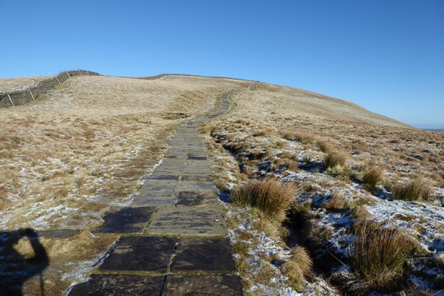
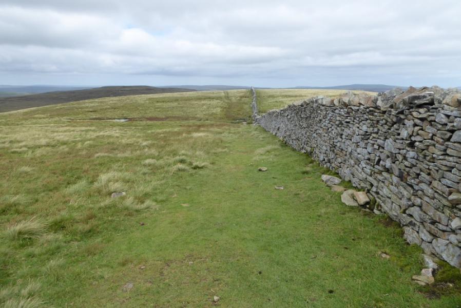
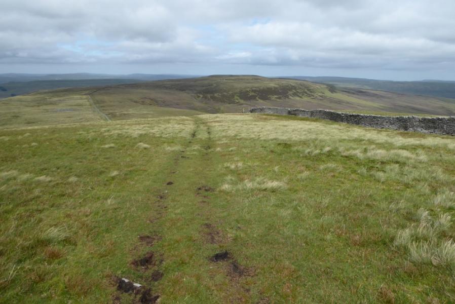
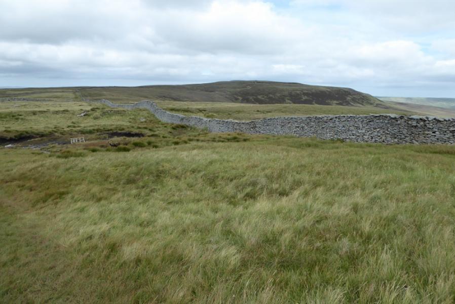
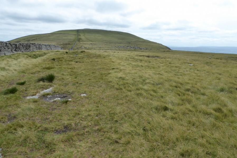
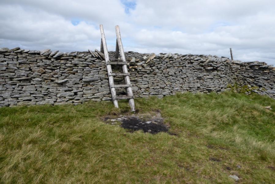
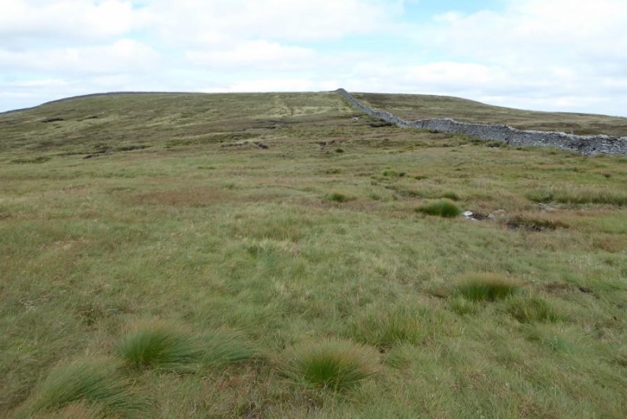
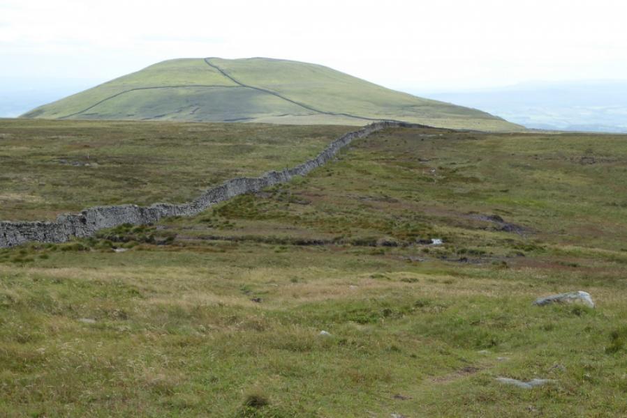
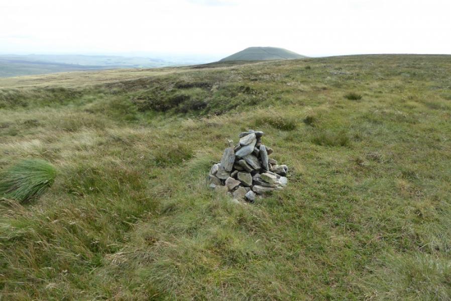
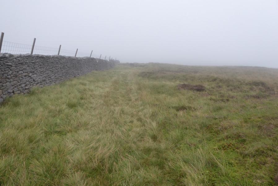
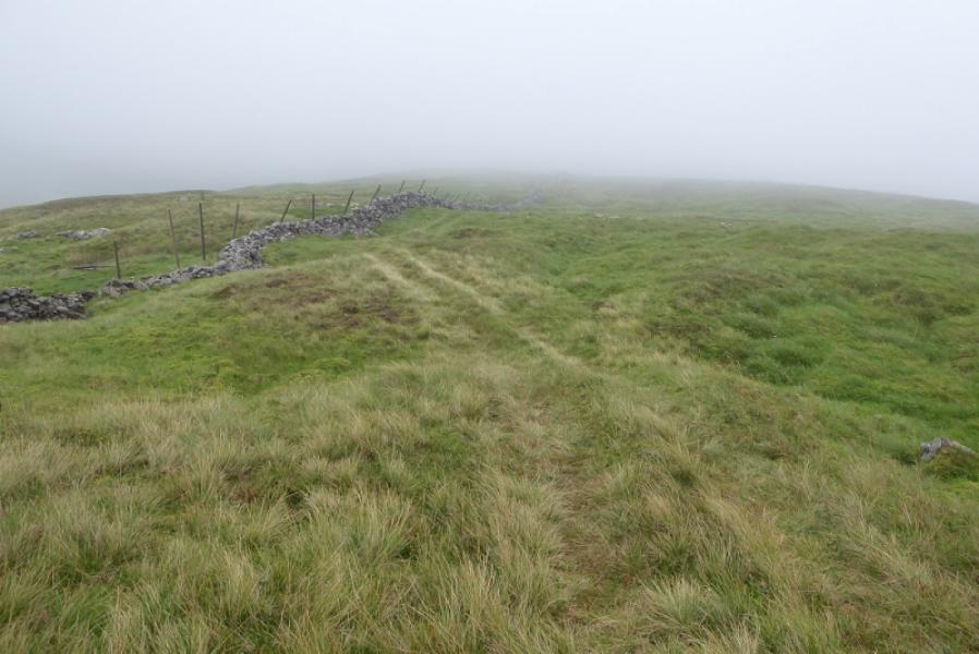
(2) Cross the wall and follow it north. This is not a popular route so the path can be wet and boggy in places with short detours often being needed. Follow the wall down to a col then up on to the summit plateau of Plover Hill. The highest point is not obvious but is marked with a small cairn and, unfortunately is over the wall which has no stile. Most people seemed to have climbed over at a wall corner to reach this small cairn which is Plover Hill, 680 m.
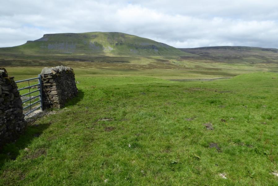
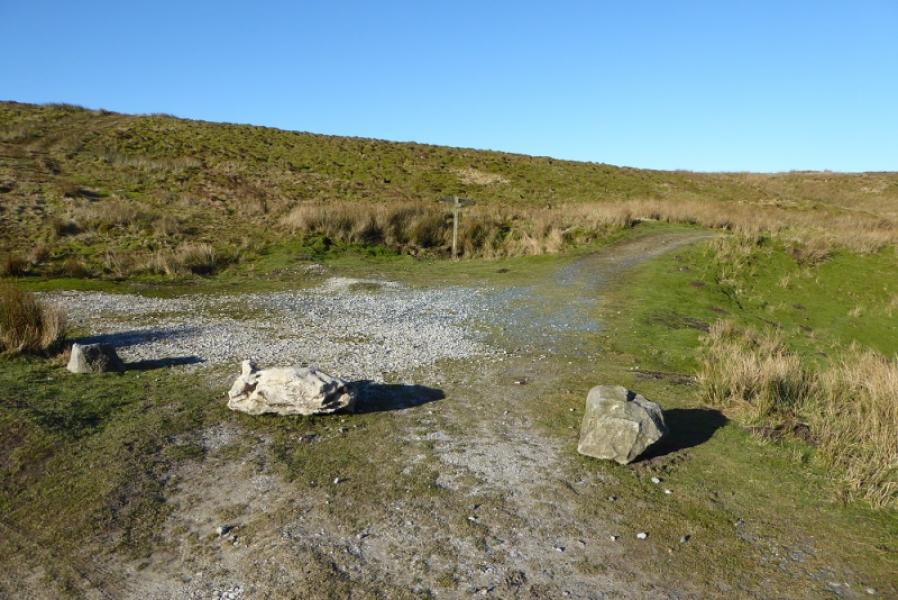
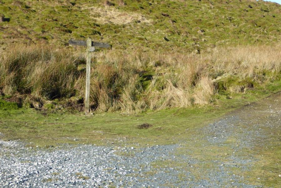
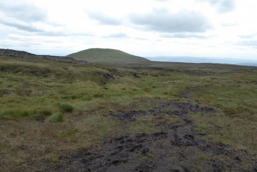
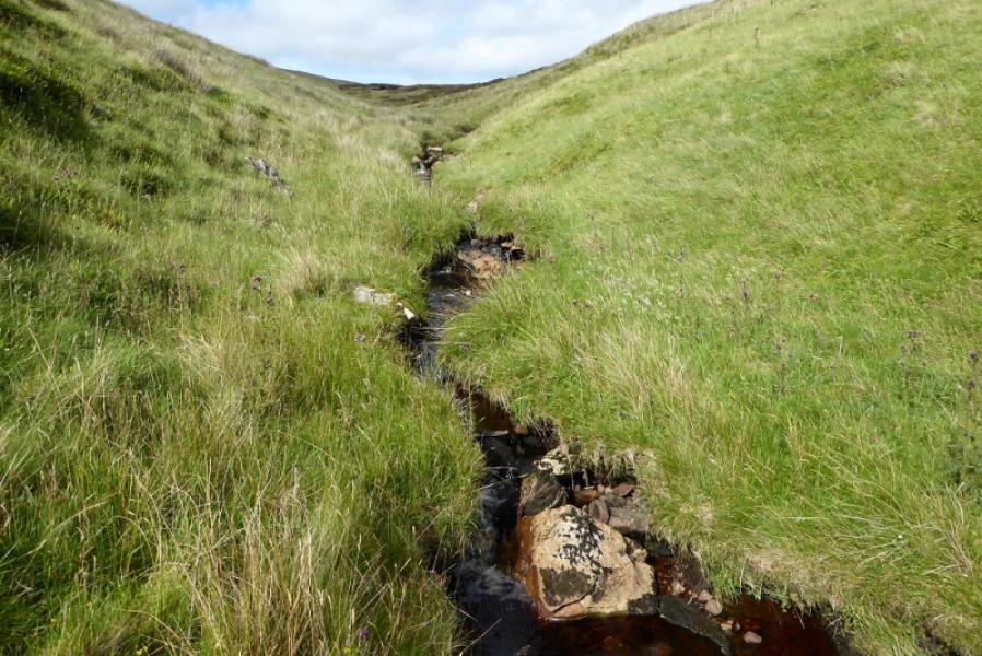
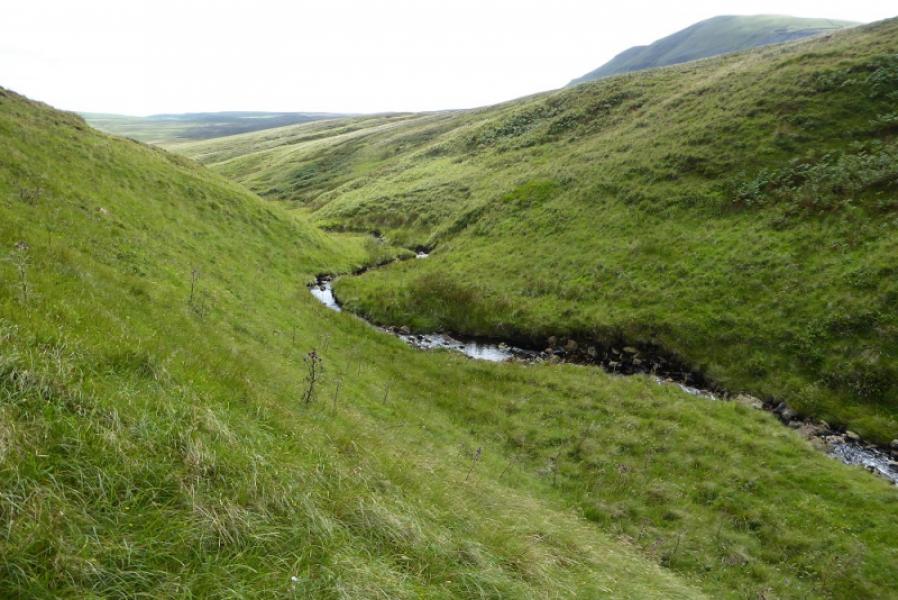
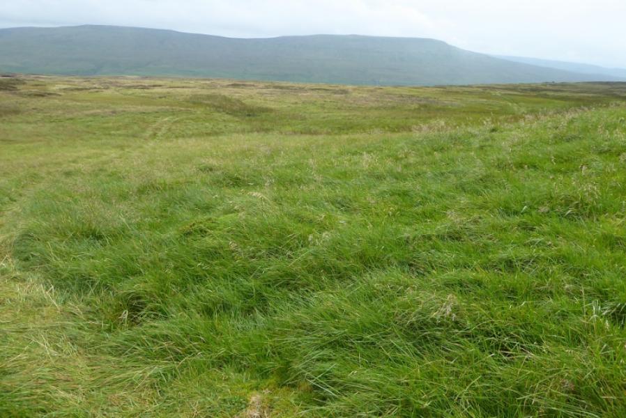
(3) As stated above, the descent route described is not that pleasant. Follow the wall east, not much of a path, into a shallow dip then up the other side. Turn away from the wall now and head roughly south through small scattered boulders then down a steepish slope. Once the gradient eases, the ground becomes rougher and progress will be slow but eventually you will reach Lockley Beck in a deep gully. Follow this down to the road then walk south west for about 1 km, mainly uphill, to reach the start. The path going off to the right from the road, from the barn near the foot of Lockley Beck is signed, and follows a wall but it is hard to see the path itself although the wall is obvious. However, the road is very quiet and more direct.
Notes
(a) This walk took place on 29th July, 2020.
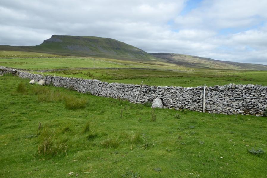
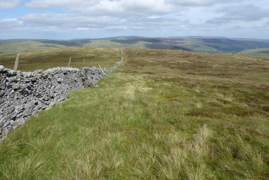
(b) For an easier descent to the road, follow the wall down the east ridge following a rough grassy track. Leave the wall, about 200 m before it starts to zig zag, to go right and pick up a grassy track which soon leads to a squat cairn. Continue down, forking right at each junction to pass grouse butts then a square enclosure. It is easy to miss these right forks on the way down. Reach the road just to the west of Upper Hesleden then follow it back to the cattle grid where the Pennine Way goes up Fountains Fell.
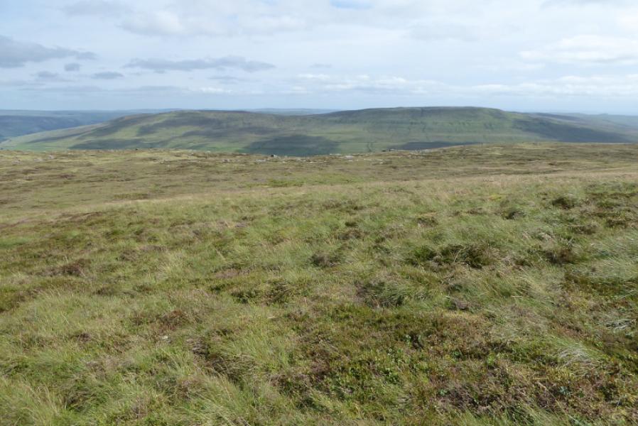
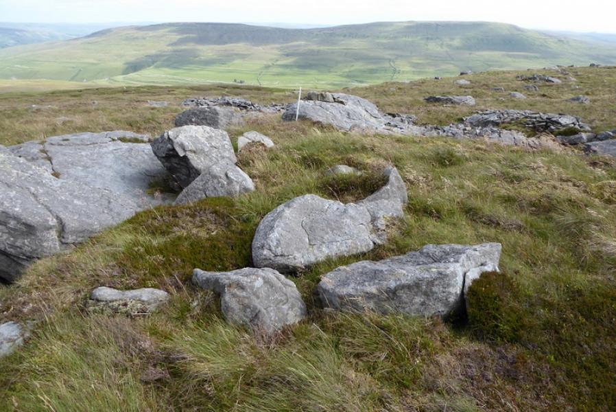
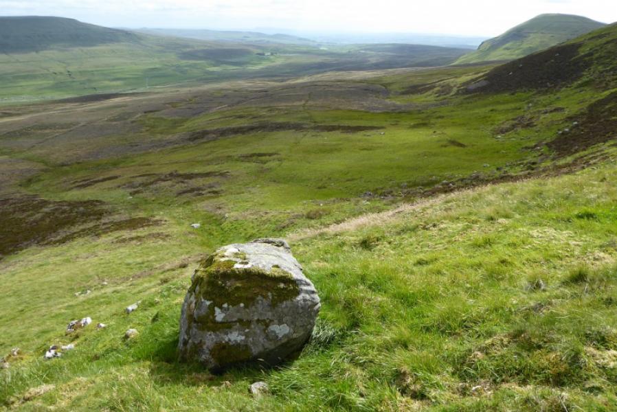
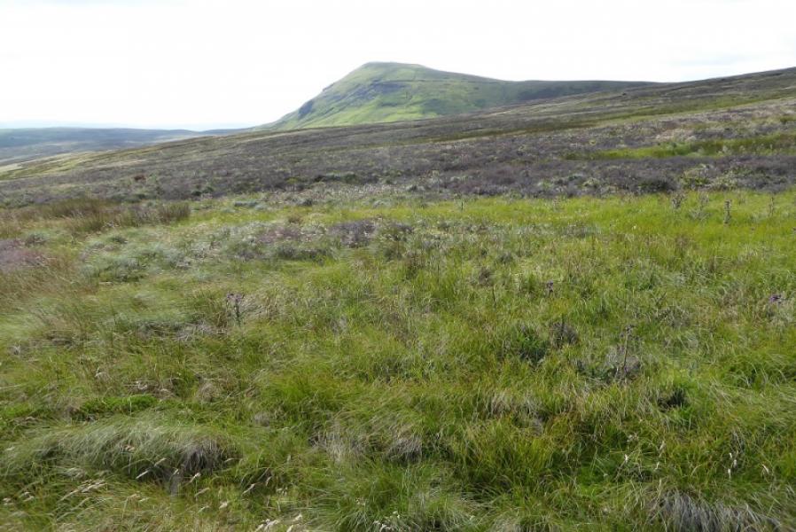
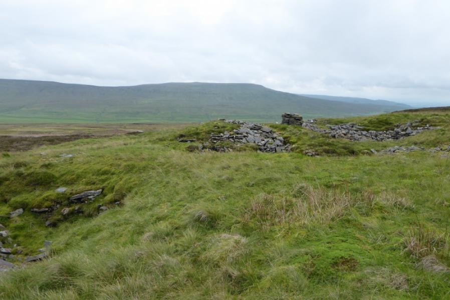
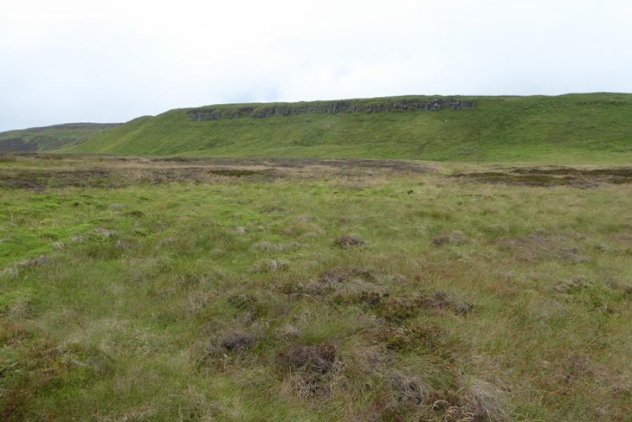
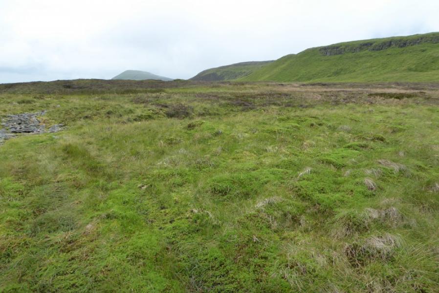
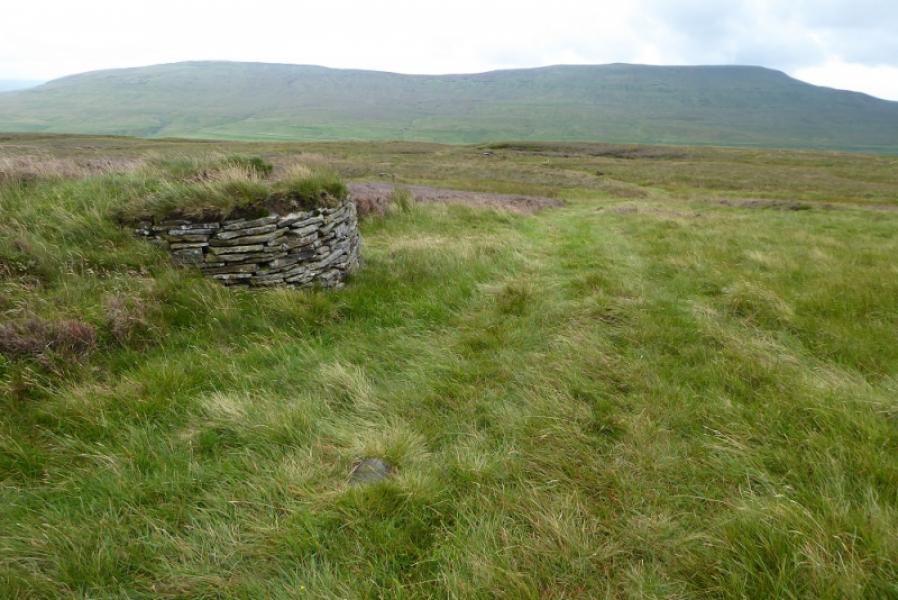
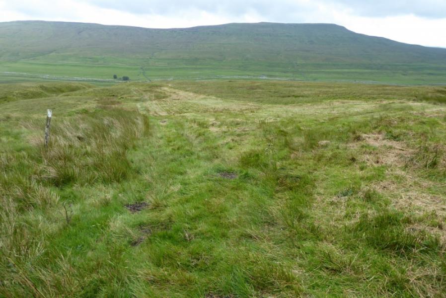
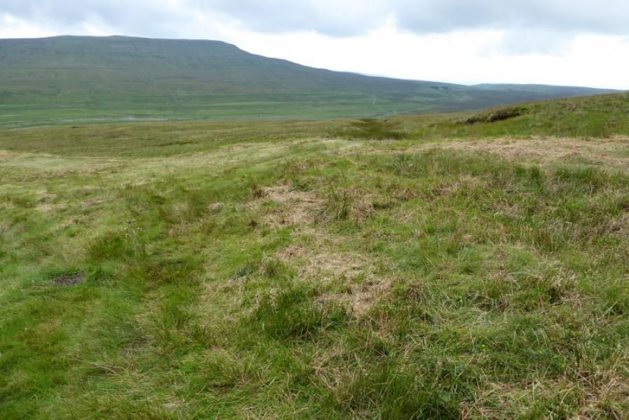
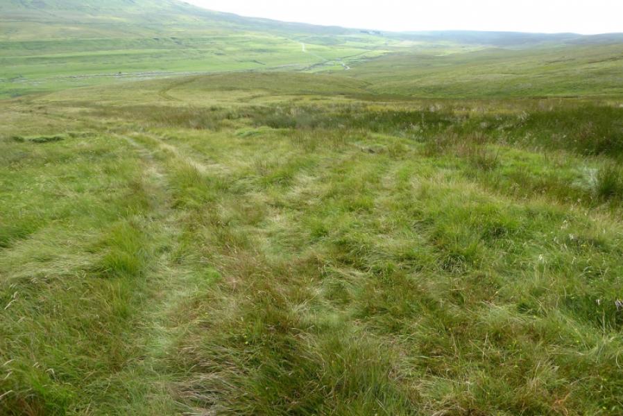
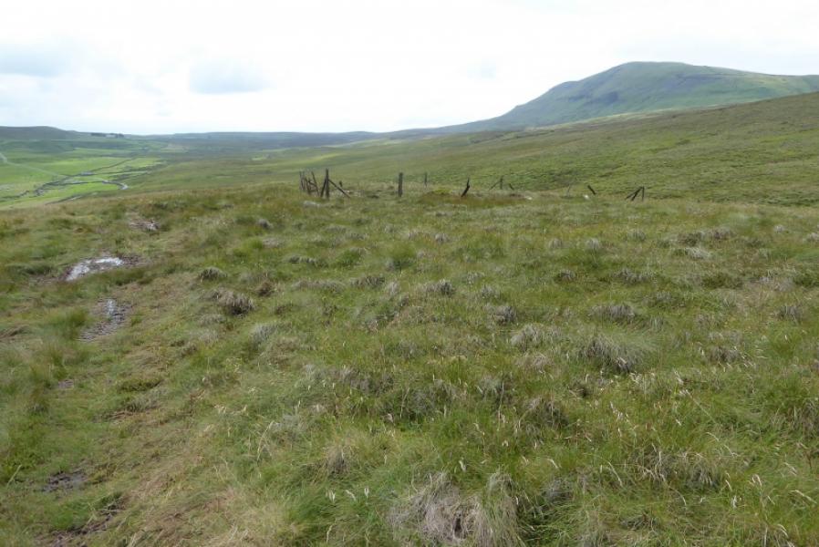
Photos - Hover over photo for caption. Click on to enlarge. Click on again to reduce.