Get Lost Mountaineering
You are here: England » Yorkshire Dales » Western Area
Fountains Fell & Fountains Fell Tarn from Halton Gill to Stainforth Road
Fountains Fell & Fountains Fell Tarn from Halton Gill to Stainforth Road
Start/Finish
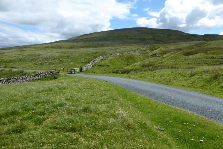
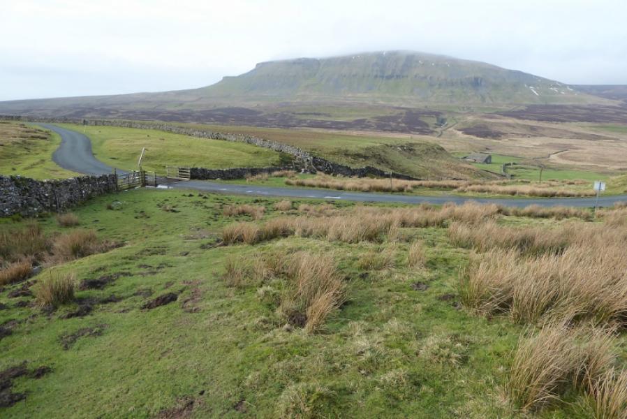
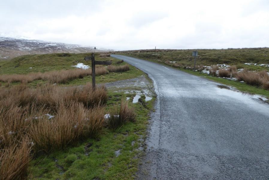
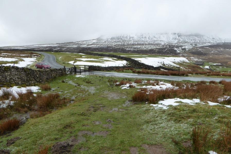
About 4 miles up the road to Halton Gill from Stainforth (on the Settle to Horton-in-Ribblesdale road) at SD 842 714. The Pennine Way sign is just after a cattle grid as the road starts to descend. The track going left for Pen-y-Ghent is about a mile before here. Parking has to be on the verge which may be soft in places. The road is also known as the Silverdale Road. It can soon be blocked by snow in winter. If coming from Settle then take the second turning into Stainforth where there is a car park with toilets if needed before continuing up the Halton Gill road.
Distance/Time
5 km. About 2 – 3 hours.
Peaks
Fountains Fell, 668 m, SD 864 716.
OL2 Yorkshire Dales: Western Area
Introduction
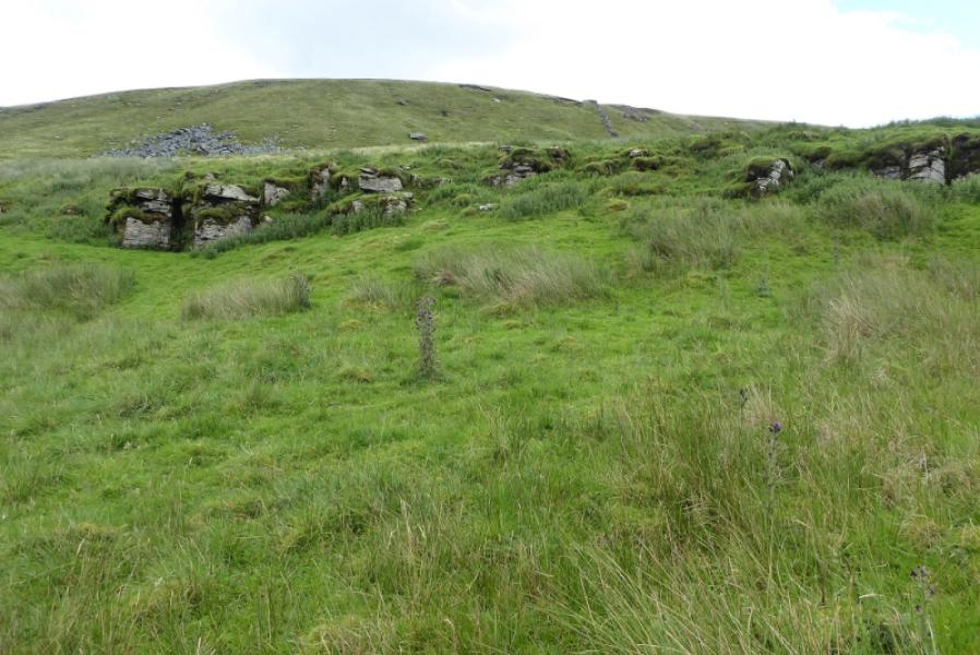
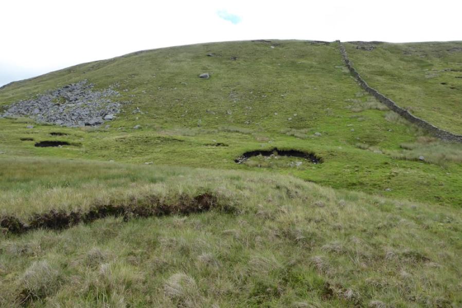
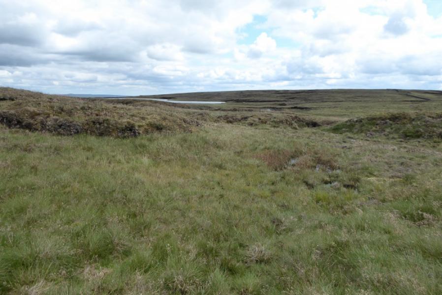
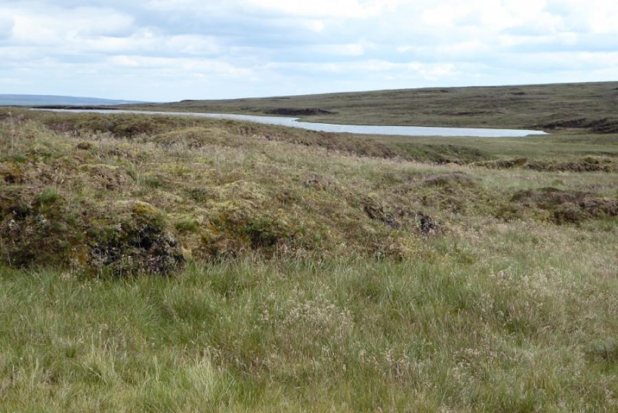
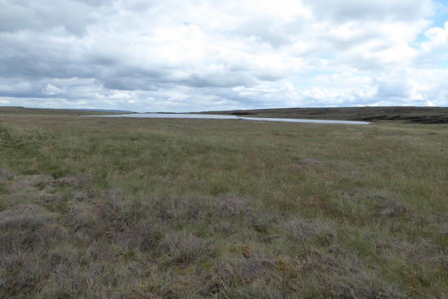
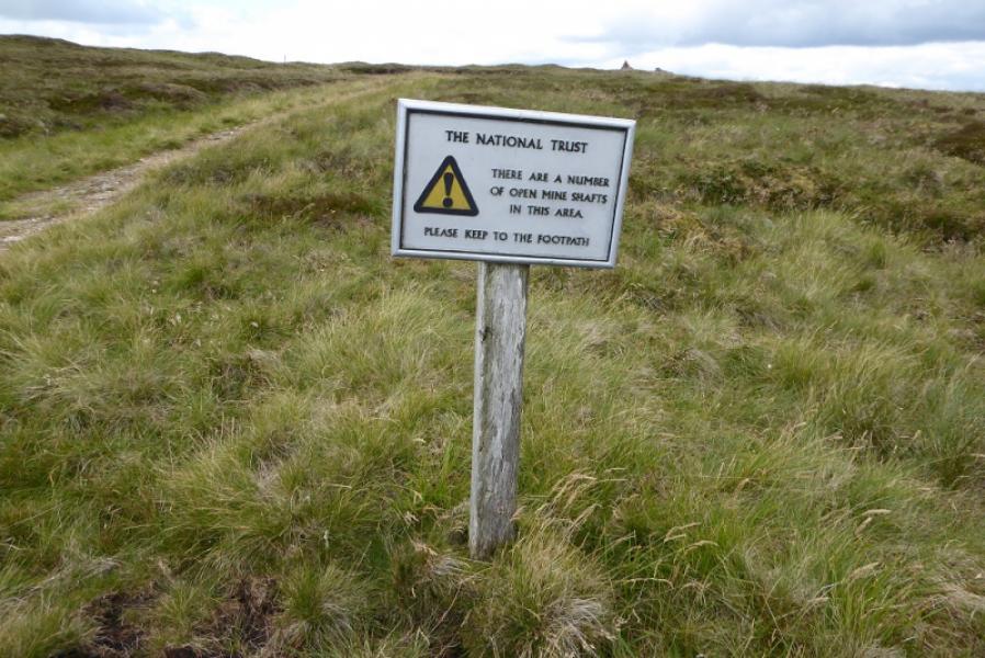
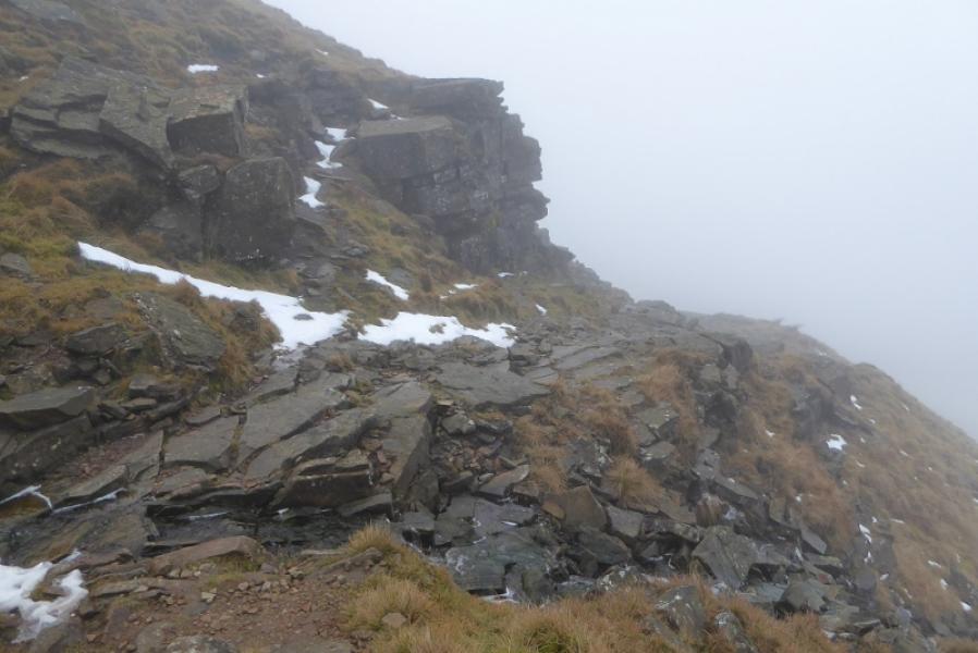
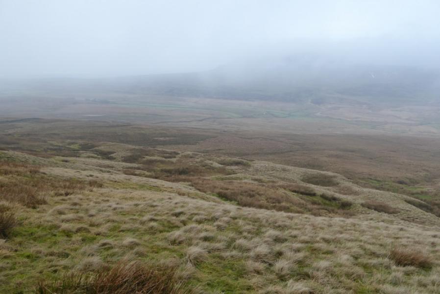
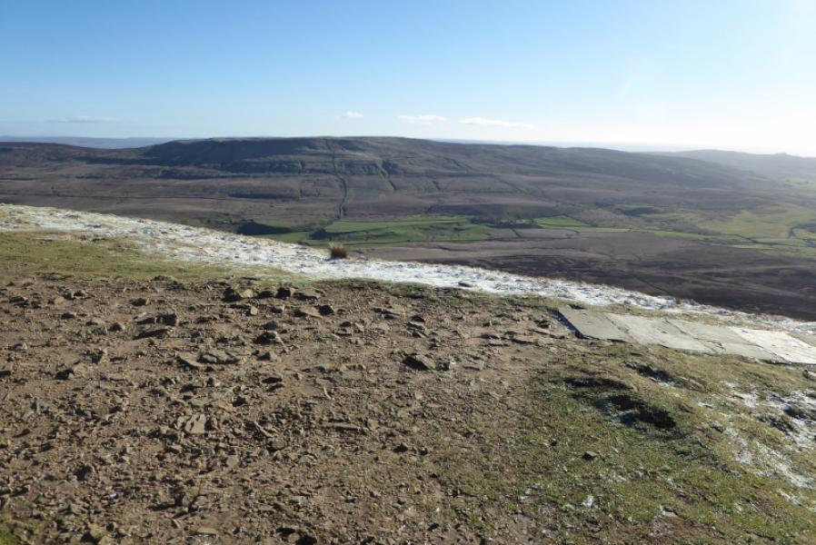
Fountains Fell is just across the road from Pen-y-Ghent. Navigation is fairly straightforward even in mist, although it can be featureless around the tarn, but it is best saved for a clear day when the views are superb in all directions but especially to Pen-y-Ghent. This is an ideal walk for a short winter's day. The ascent can be rough and steep in places. Fountains Fell Tarn is not a true tarn as it has no back wall or front lip; it is just a small lake on a moorland plateau and, for its size, is well hidden. It is not seen from either the summit or the Pennine Way.
Route
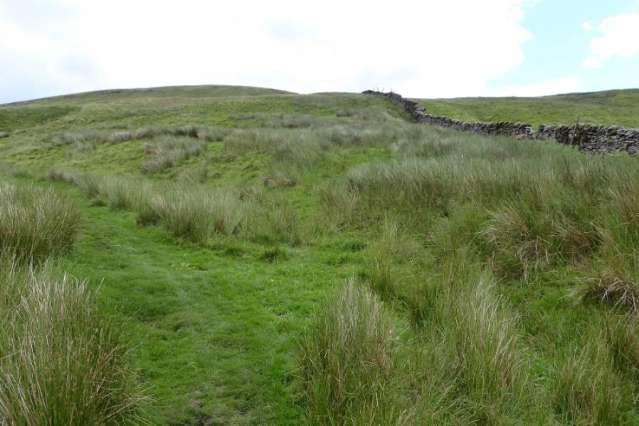
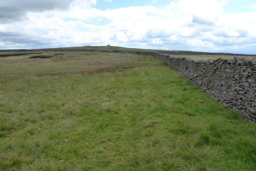
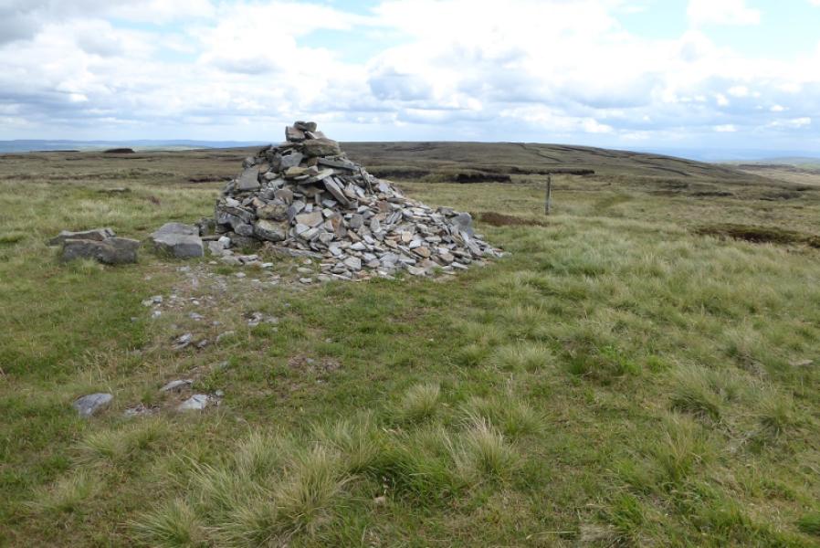
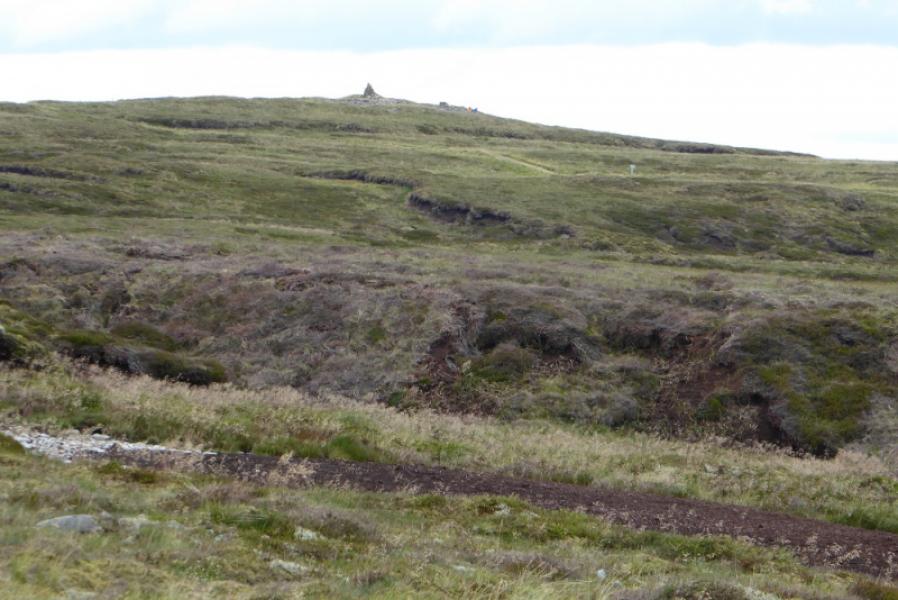
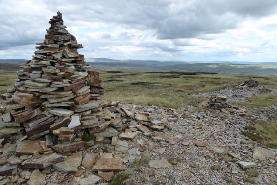
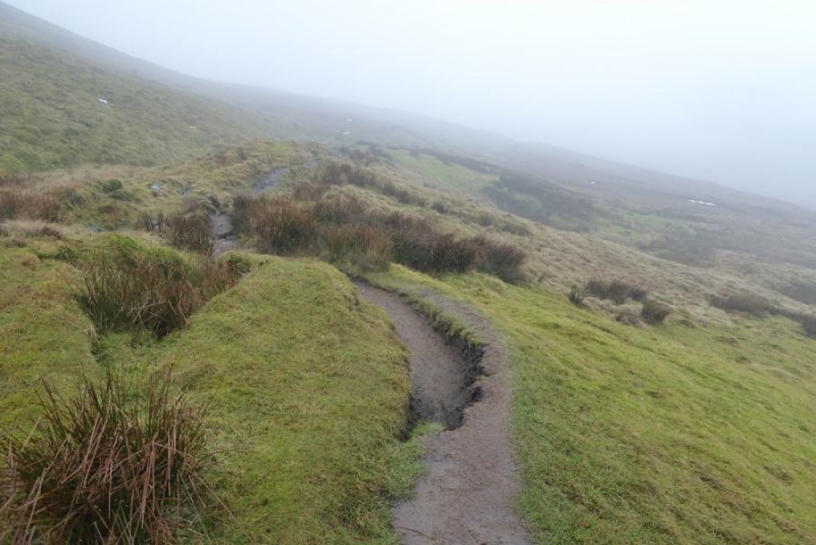
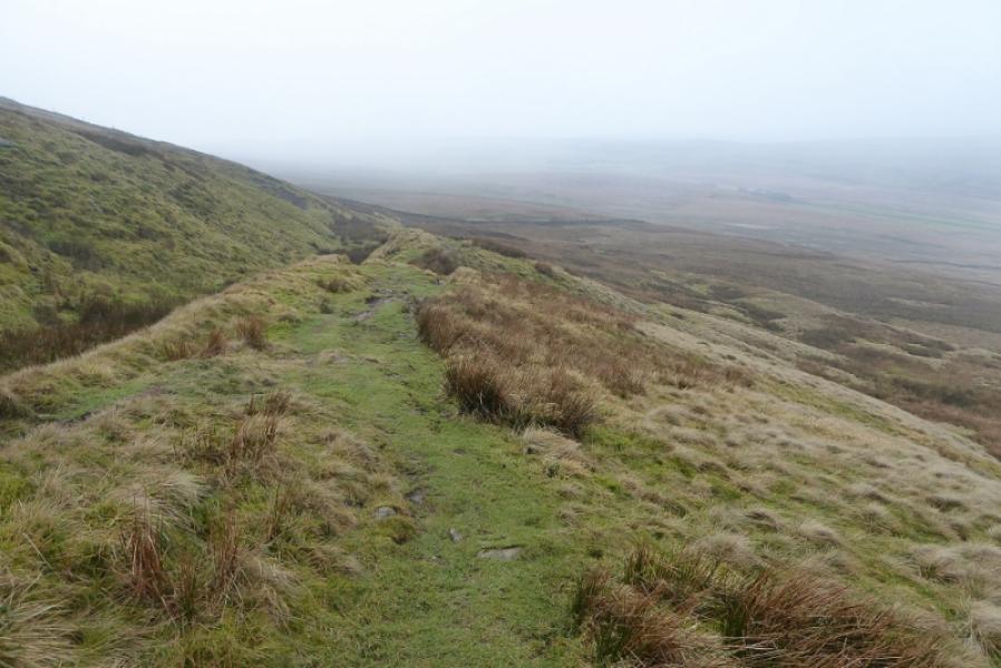
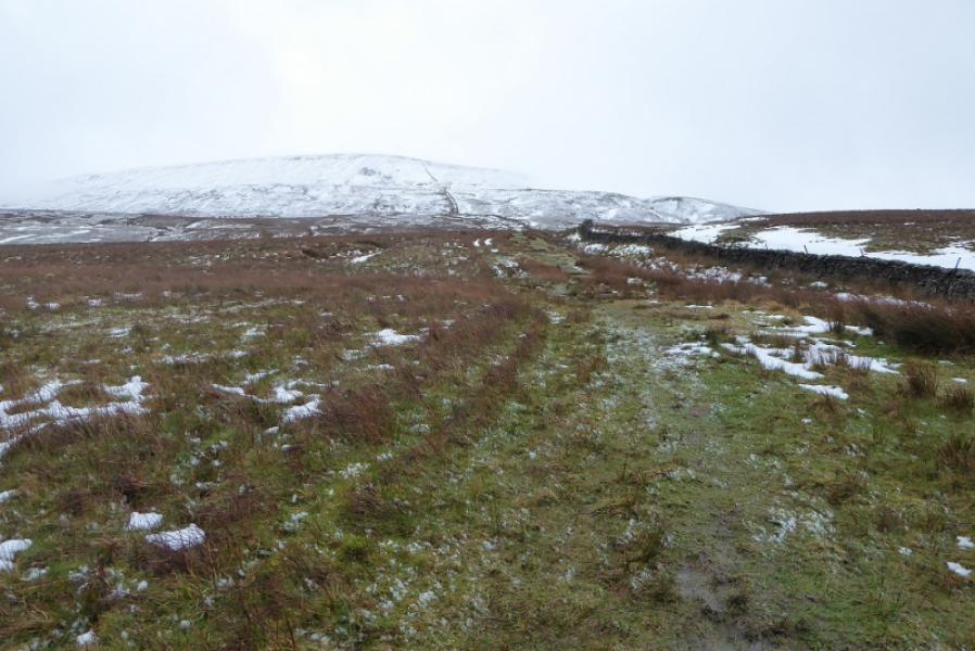
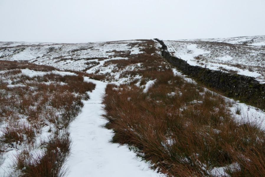
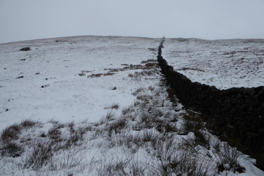
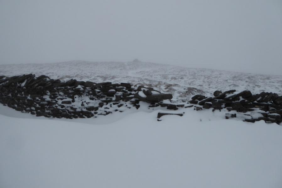
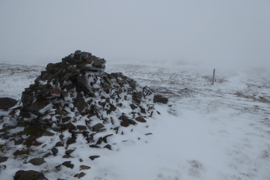
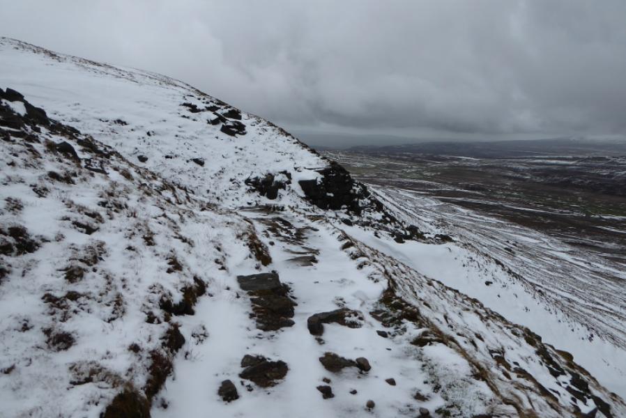
(1) From the Pennine Way sign on the road, walk SE up a path which is never far from the wall on the right. After about 800 m, the Pennine Way swings left but this route continues straight up shadowing the same wall. A final steep section reaches a the summit plateau and the wall reaches a T junction. Cross the wall by a not very good stile which seems to have one of its stone steps missing. A medium cairn is about 100 m further and this is the summit of Fountains Fell, 668 m.
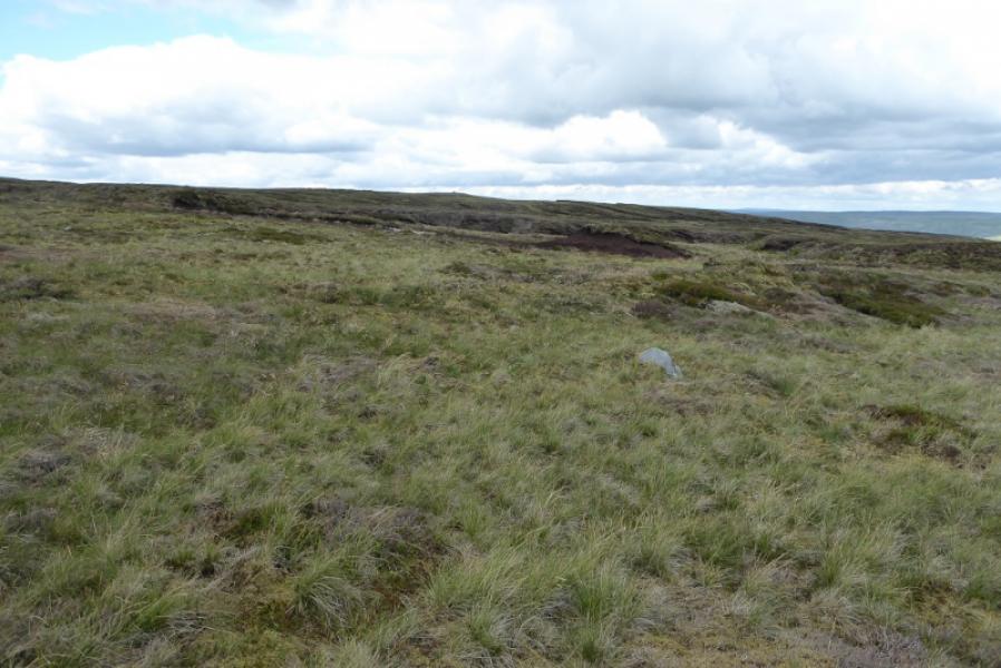
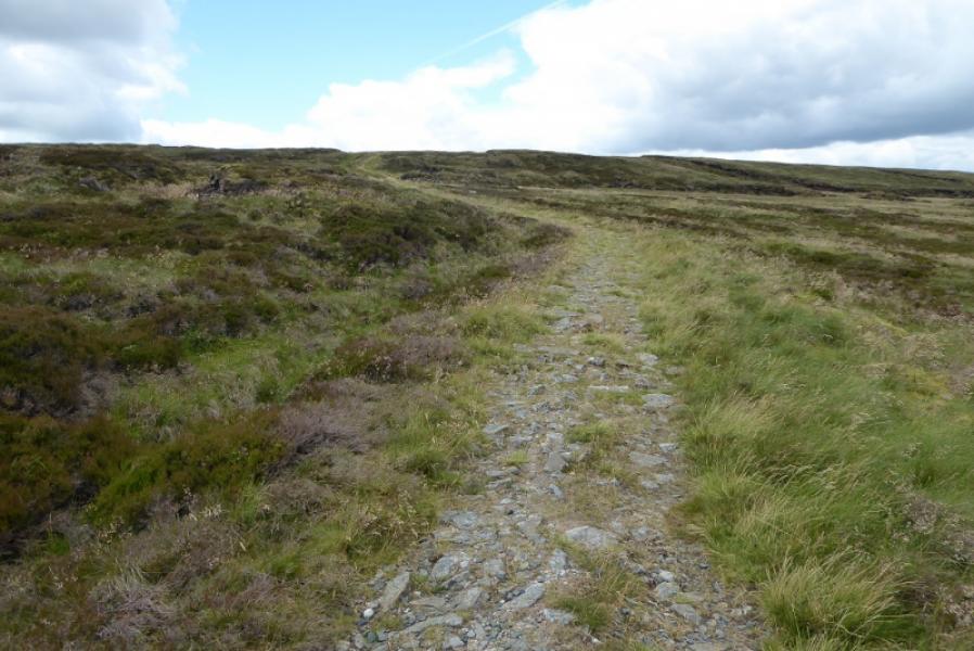
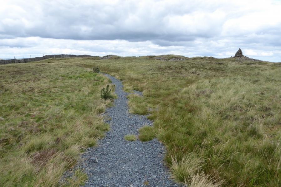
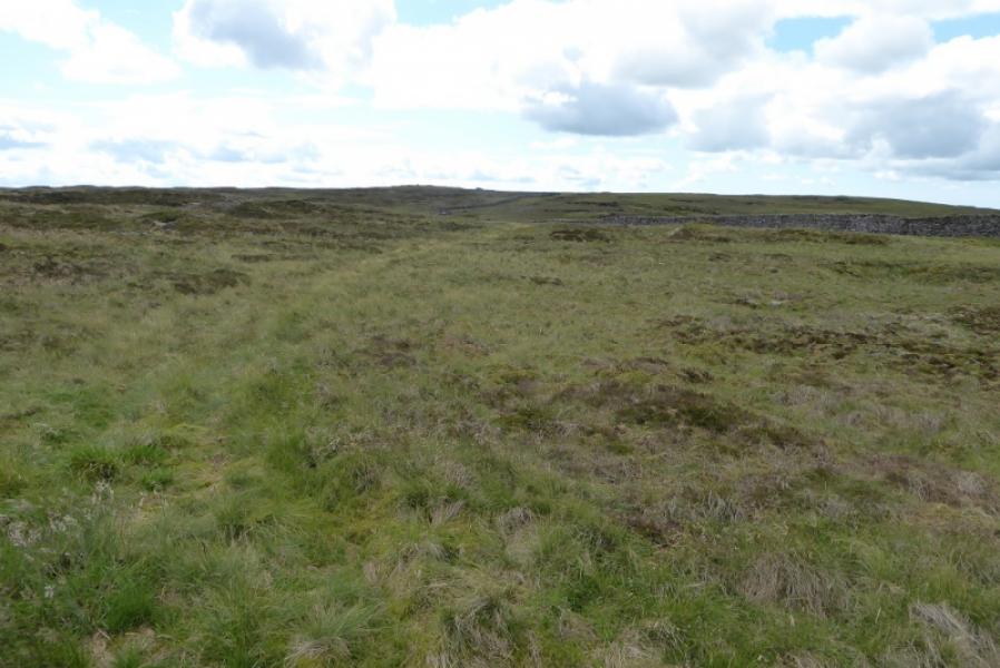
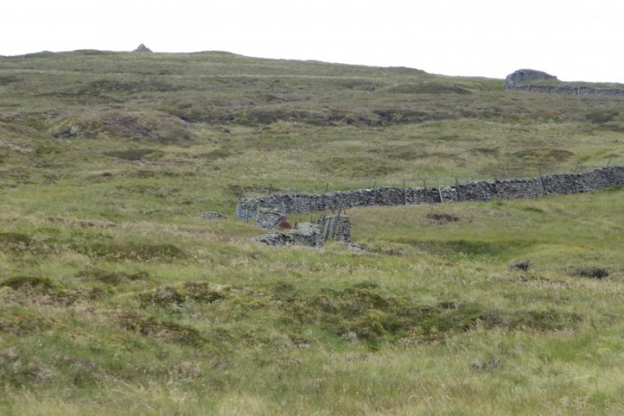
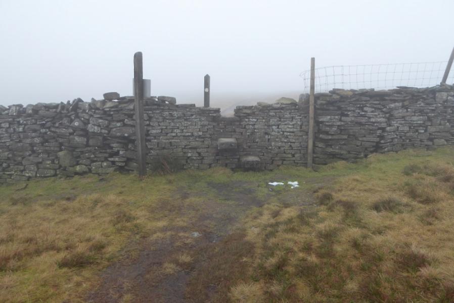
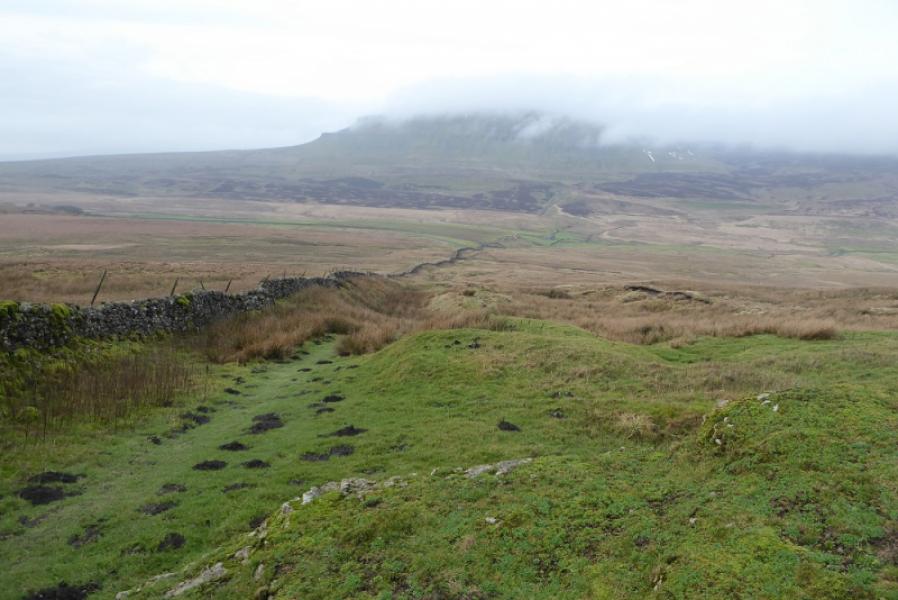
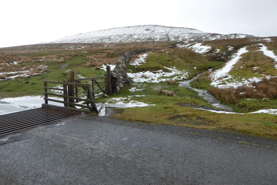
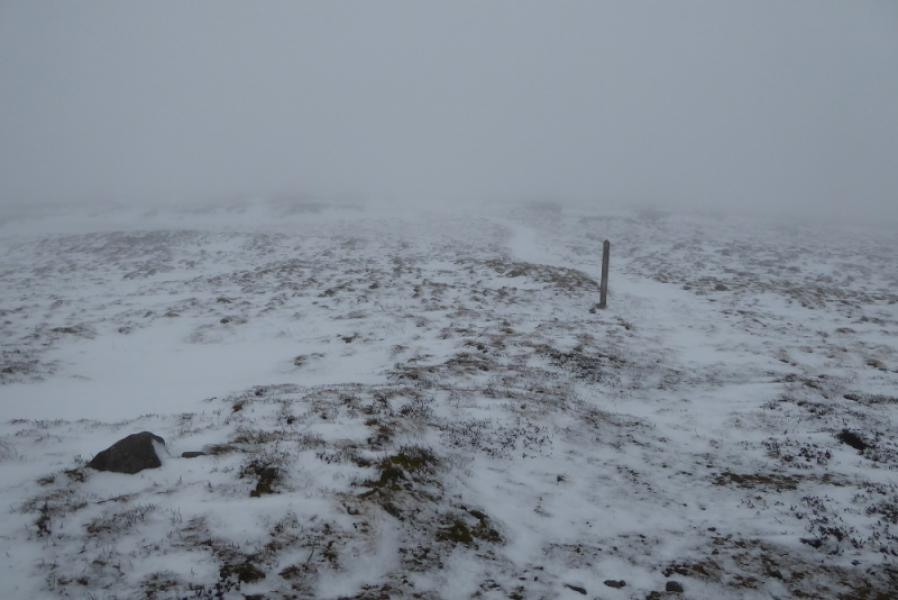
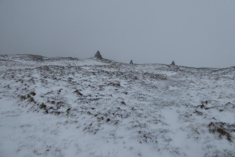
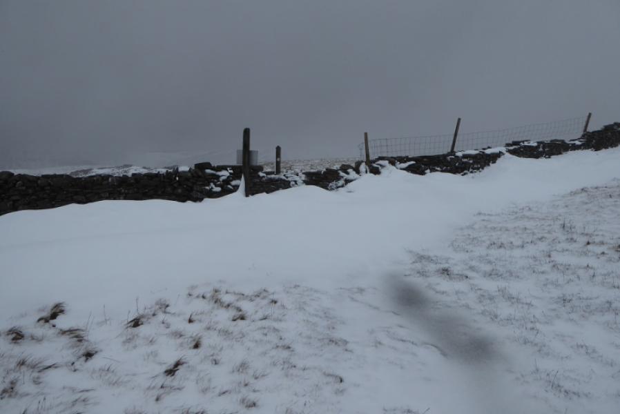
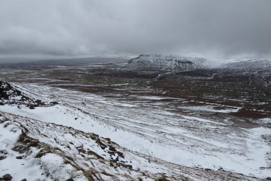
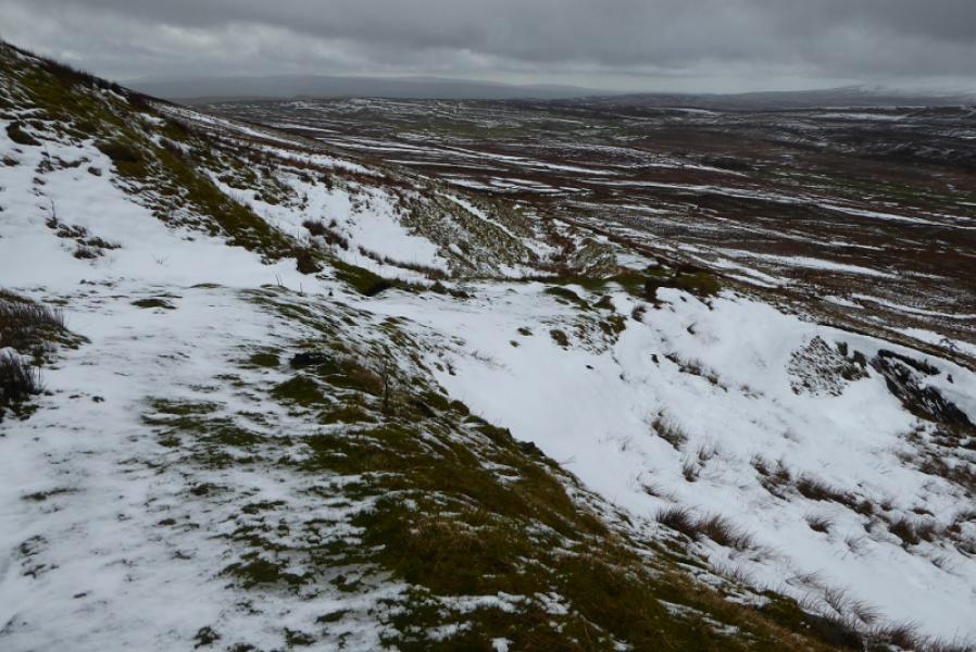
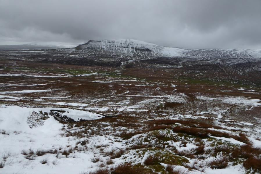
(2) A continuation path continues towards the dip to the west of the tarn and it is marked by occasional wooden posts. Leave the path when in the shallow dip and look for anything which might be a path heading for the west and north side of the tarn; there is no really obvious path and the ground can be quite wet. Continue round to the outflow on the eastern end of the tarn then head north on rough, pathless ground until the Pennine Way path is met. This can be followed, roughly north west, to its highest point, just off to the right (cairn), before the path crosses a wall. In clear weather, it is possible to see the summit cairn from hereabouts. Cross the wall by a stone stile then follow the obvious Pennine Way path roughly NW then W as it traverses across the NW flank of the hill. Reach the wall followed up earlier then retrace back to the road.
Notes
(a) This walk took place on 21st July, 2020.
Photos - Hover over photo for caption. Click on to enlarge. Click on again to reduce.