Get Lost Mountaineering
You are here: England » Peak District » Kinder & Mill Hill from Snake Road
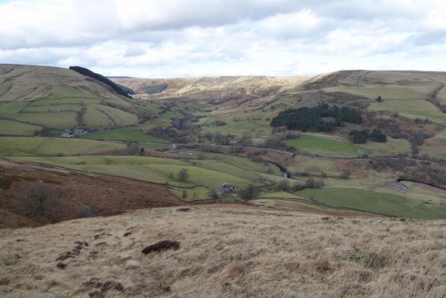
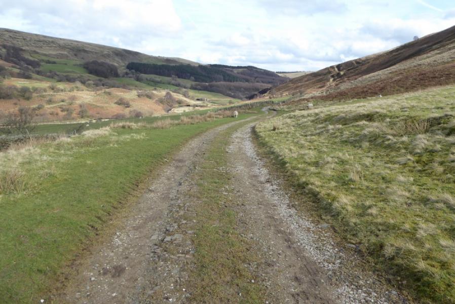
Crookstone Knoll and Edale Moor Trig Point from near Rowlee Bridge on A57
Crookstone Knoll and Edale Moor Trig Point from near Rowlee Bridge on A57
Start/Finish
As close as possible, on the A57 Snake Pass, to the tarmac track going down to Rowlee Bridge which is opposite the road to Rowlee Farm. This is at SK 151 892. Parking is extremely limited and there is only space for one small car at the top of the track on the A57. If that spot is taken, you may have to go some distance to find somewhere to park. If you have a driver, it may be best to be dropped off and picked up later. The Snake Pass soon closes in wintry weather although it is usually passable here. However, it may not be possible to go over the top of the pass from Glossop in wintry conditions.
Distance/Time 8 km About 4 hours
Peaks
Crookstone Knoll, 521 m, SK 144 883.
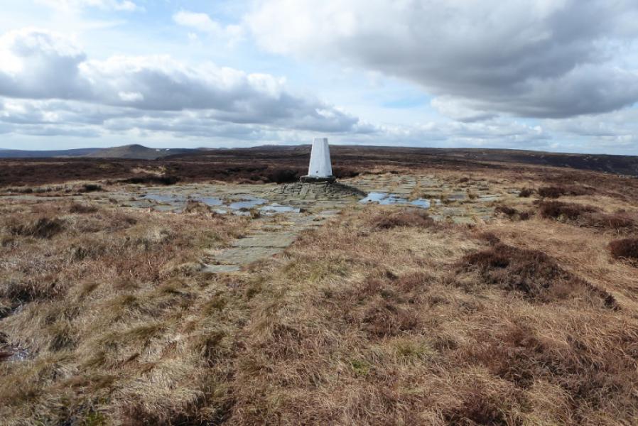
Edale Moor Trig Point, 590 m, SK 129 878. OS Outdoor Leisure 1: Dark Peak
Introduction
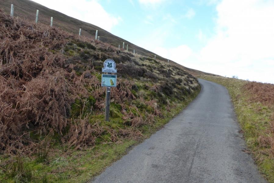
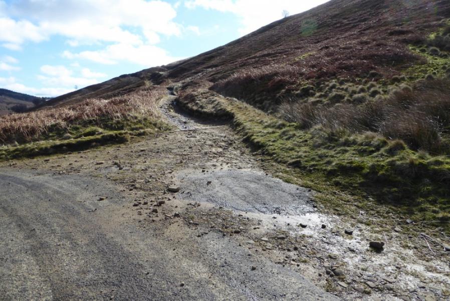
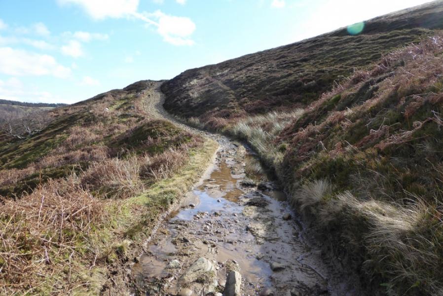
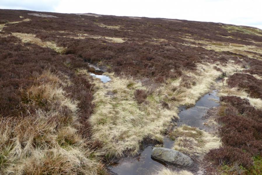
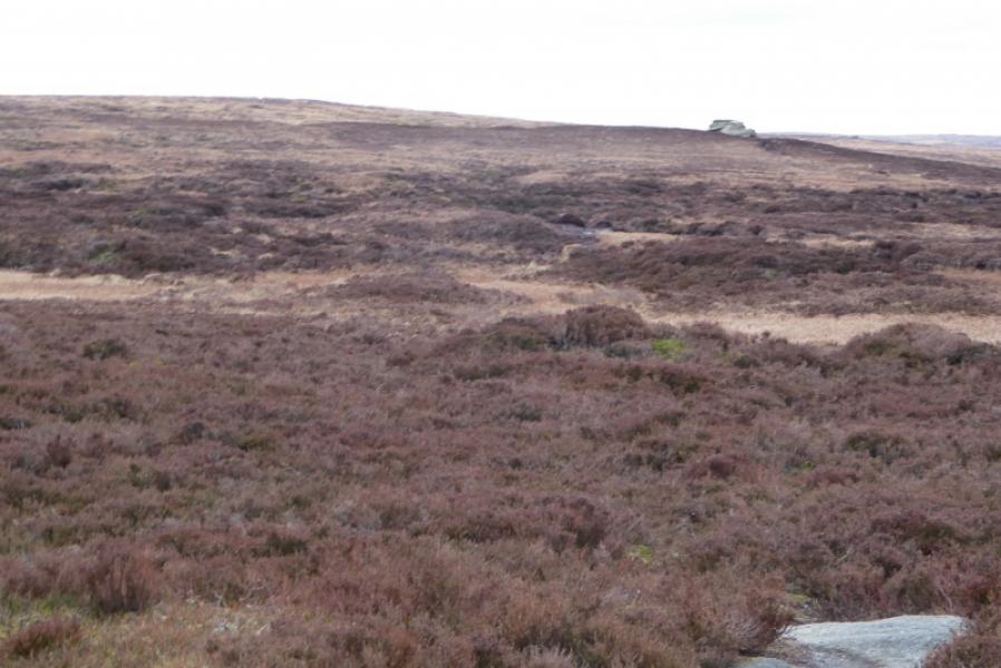
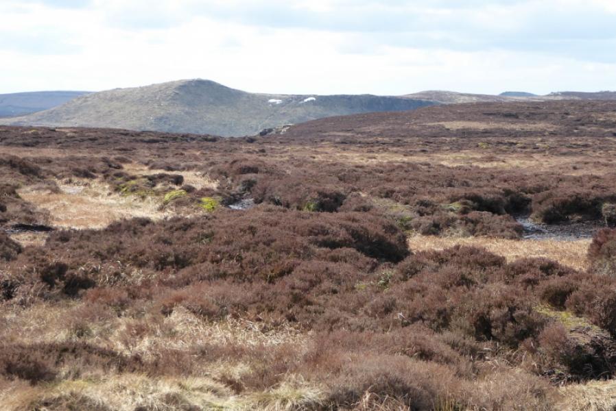
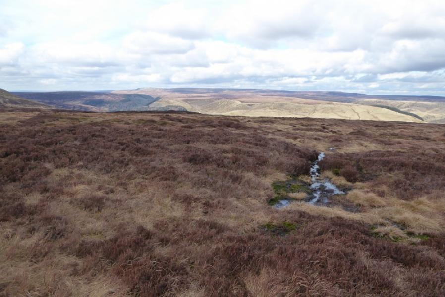
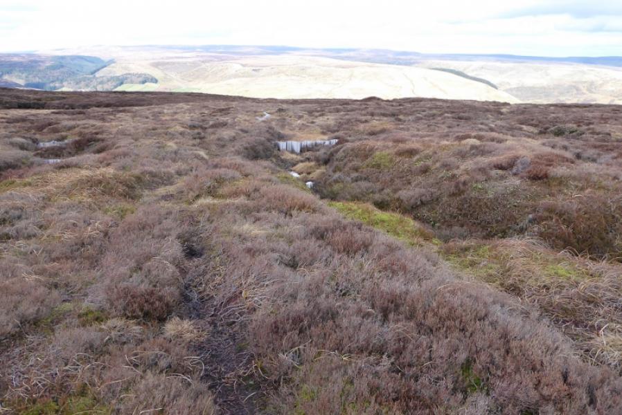
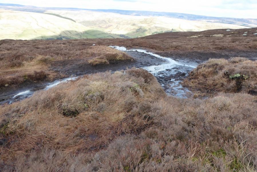
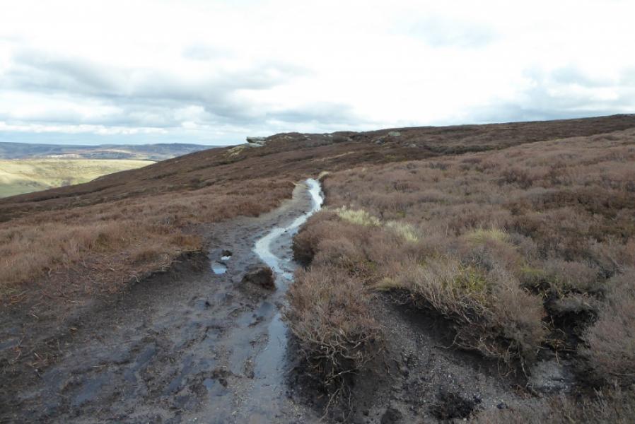
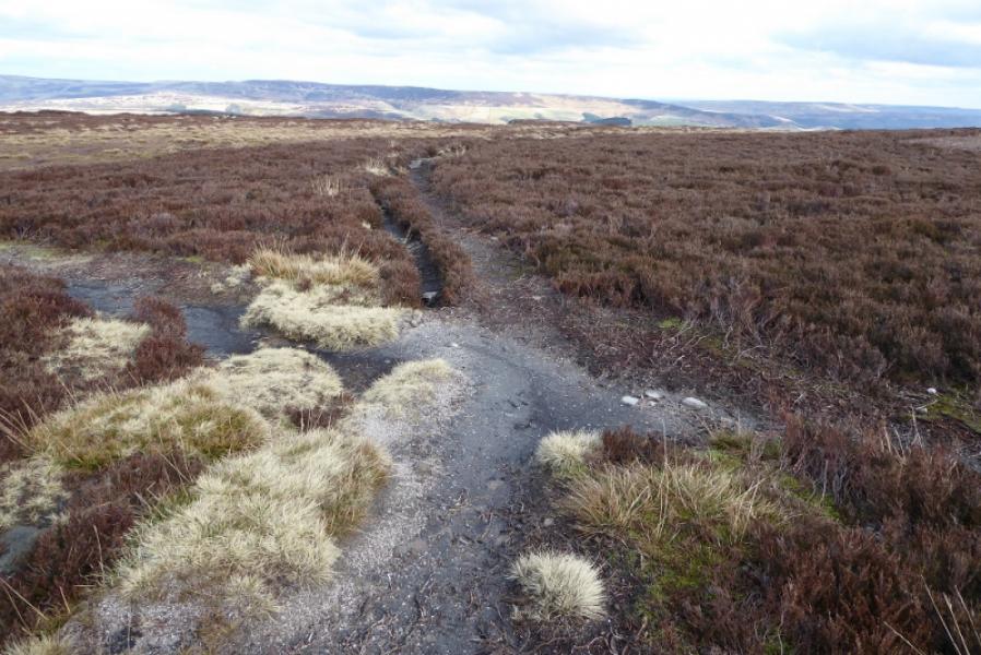
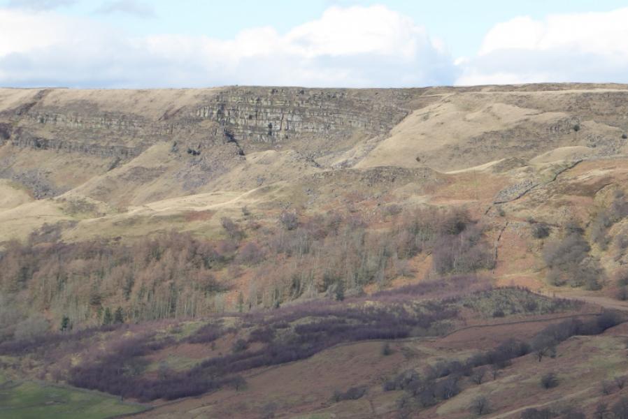
This is a shortish walk which samples some of the Kinder plateau from Crookstone Knoll to the Edale Moor Trig Point (590 m) then part of the Blackden Edge. Some of the going can be boggy, even in a dry spell, and gaiters are recommended. The stony track from near Rowlee Bridge is very popular with mountain bikers who may come down at some speed. Unusually none of this track is seen from the road. As the terrain on Kinder is somewhat featureless, it is best saving this route for a clear day.
Route
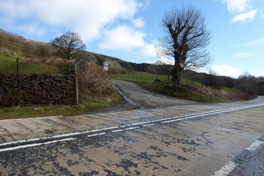
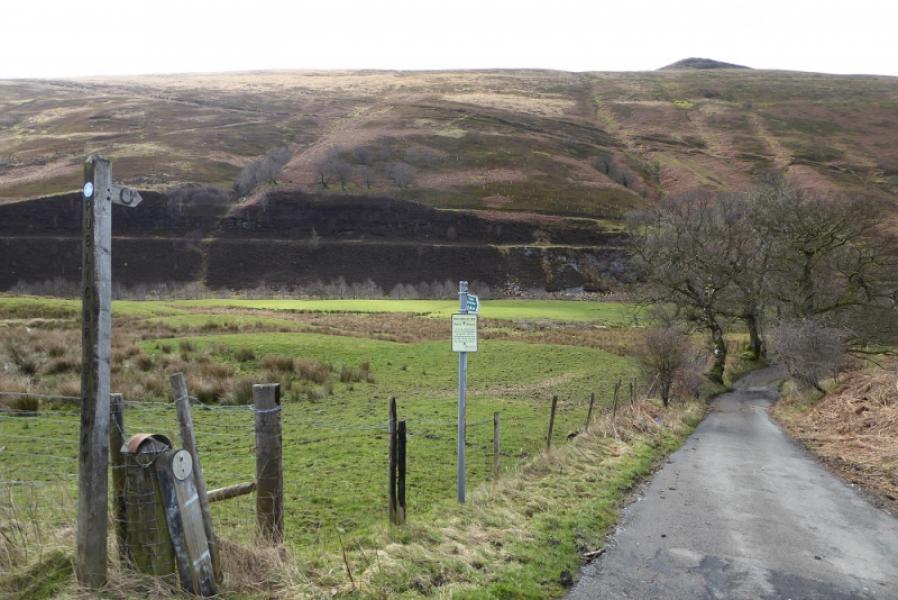
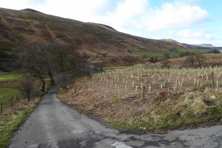
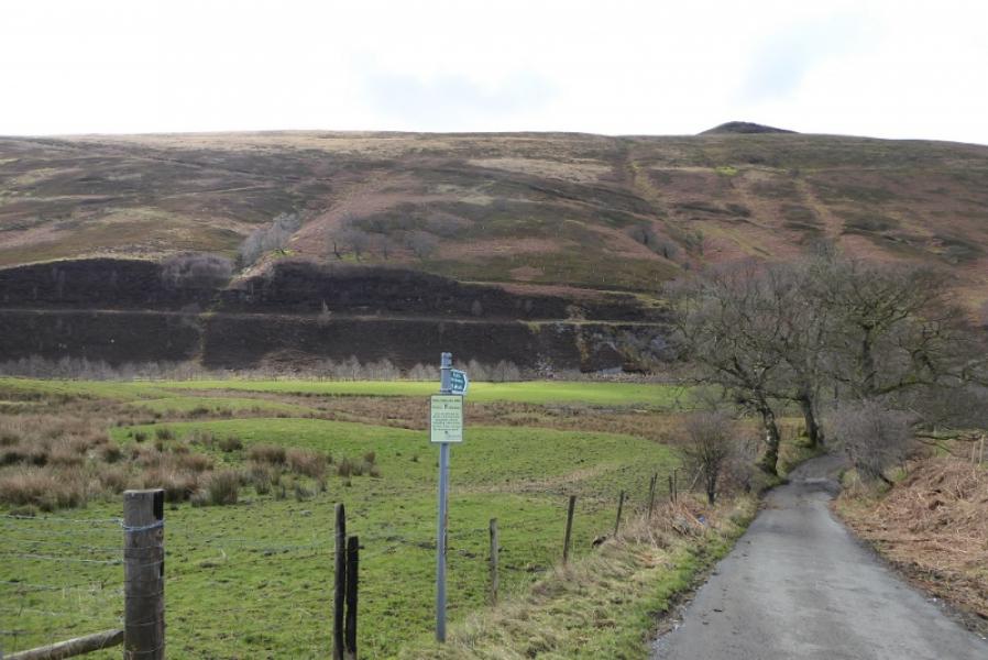
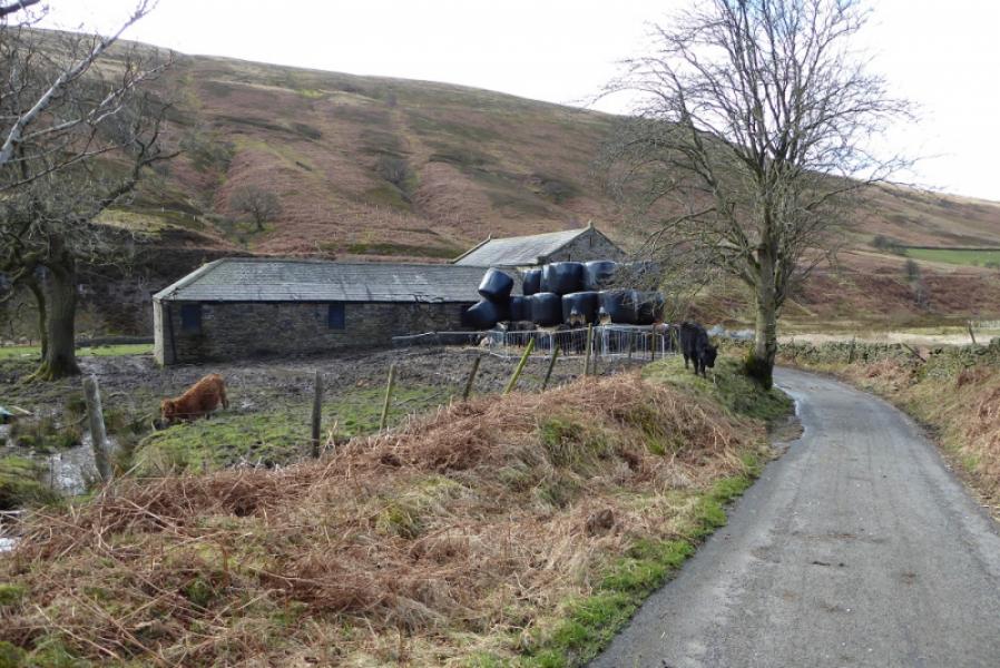
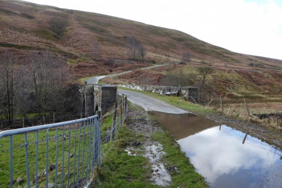
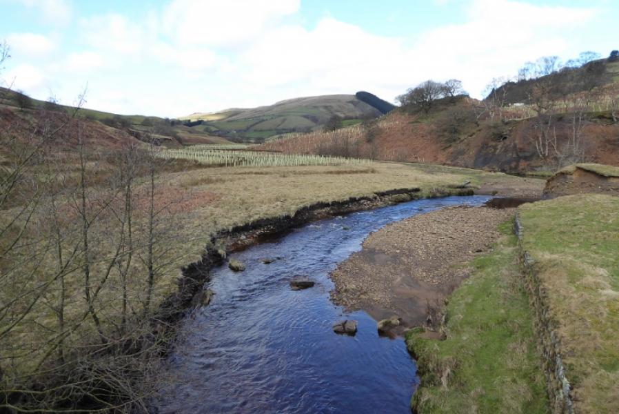
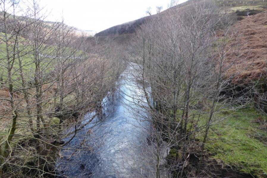
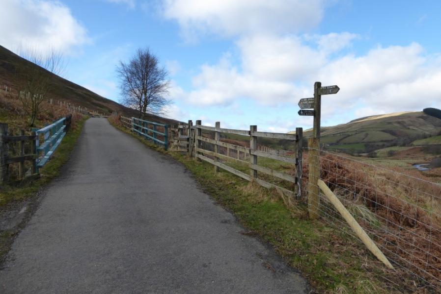
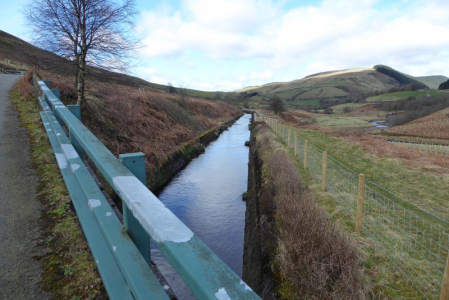
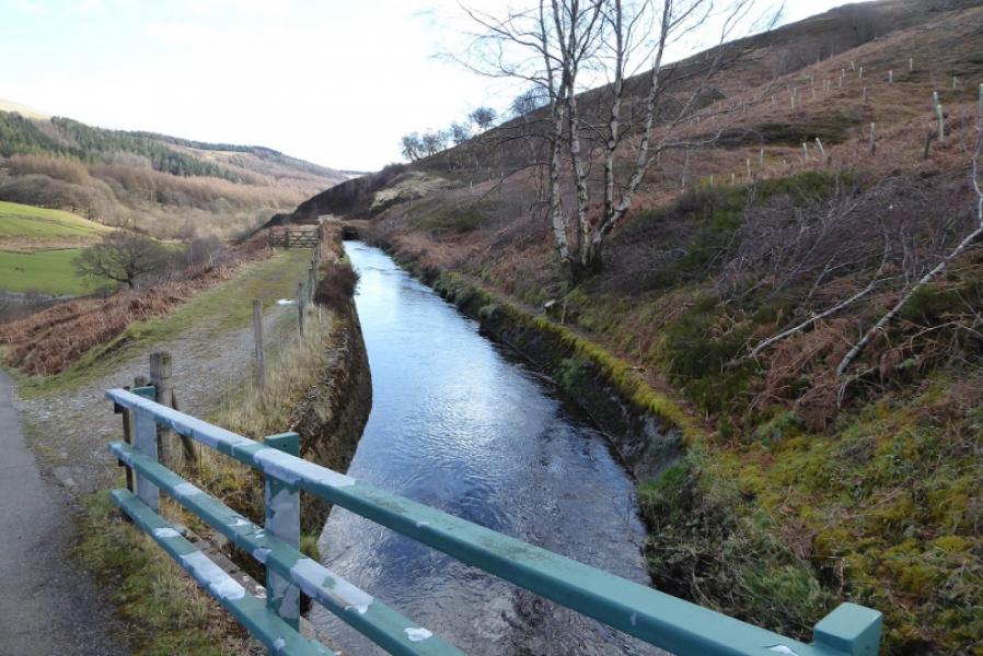
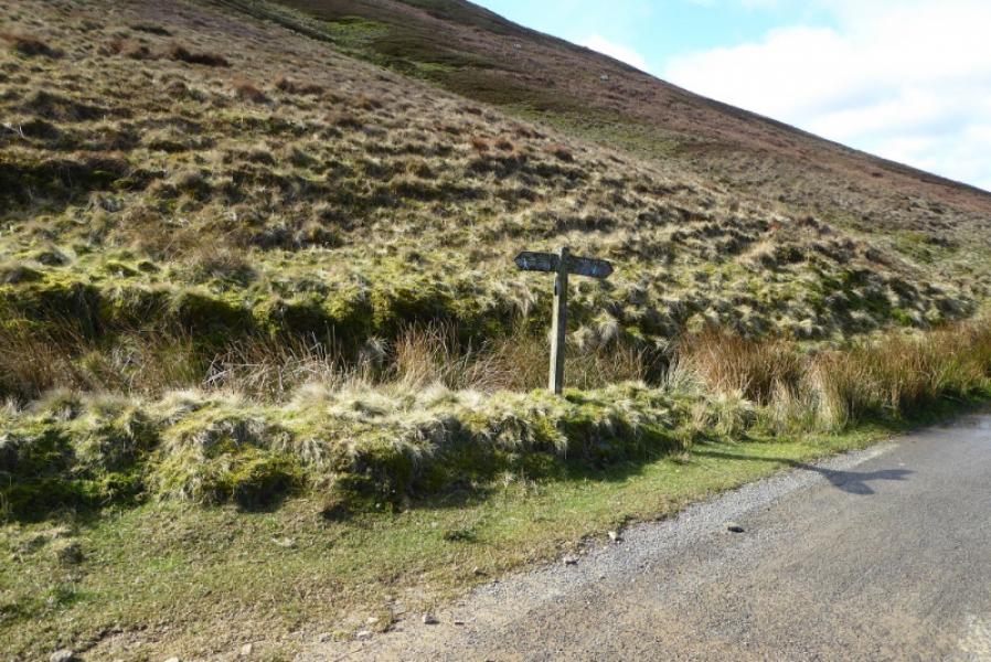
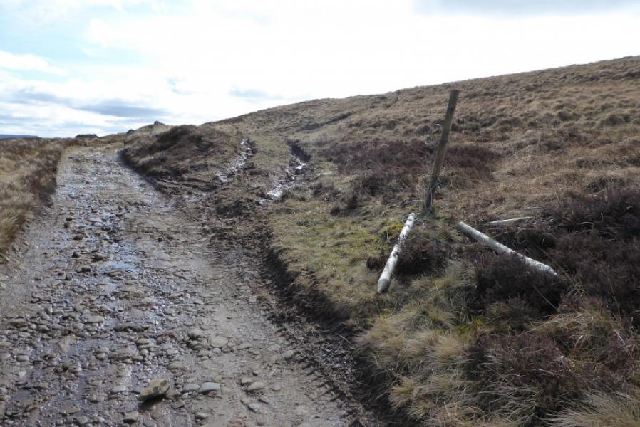
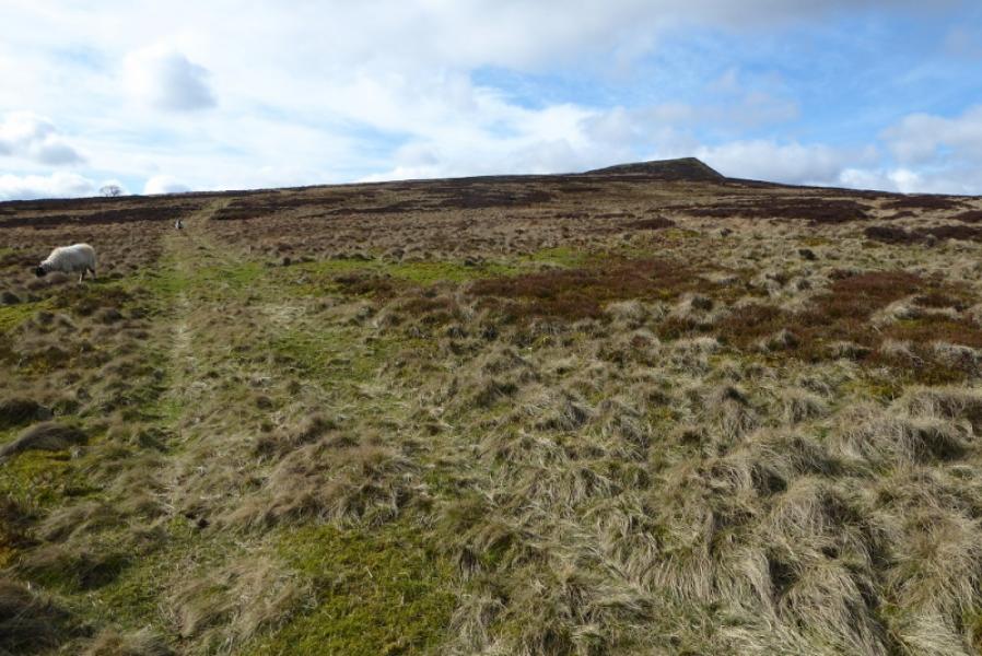
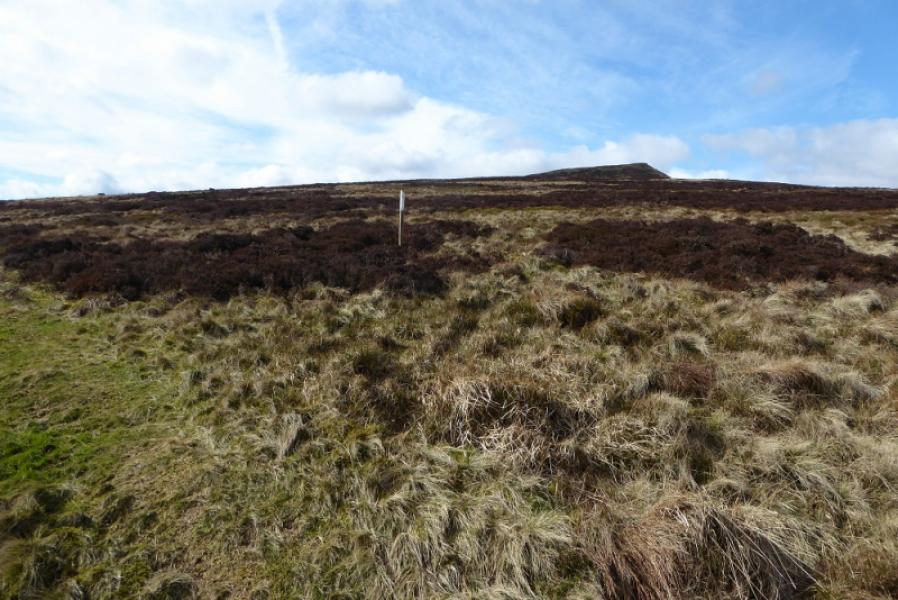
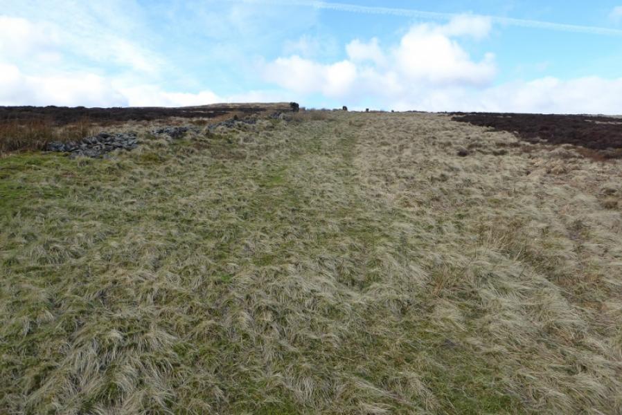
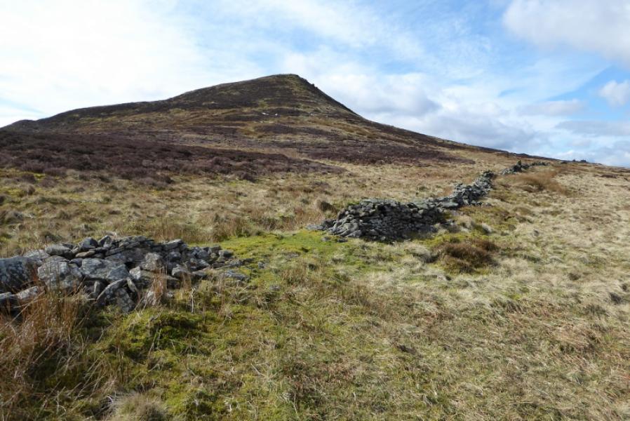
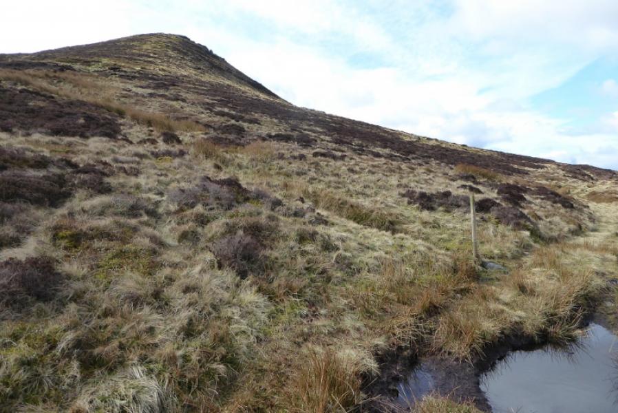
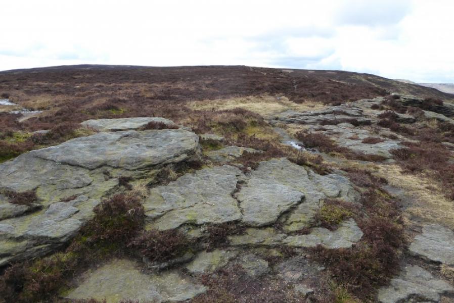
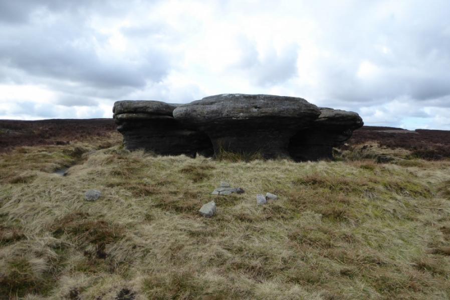
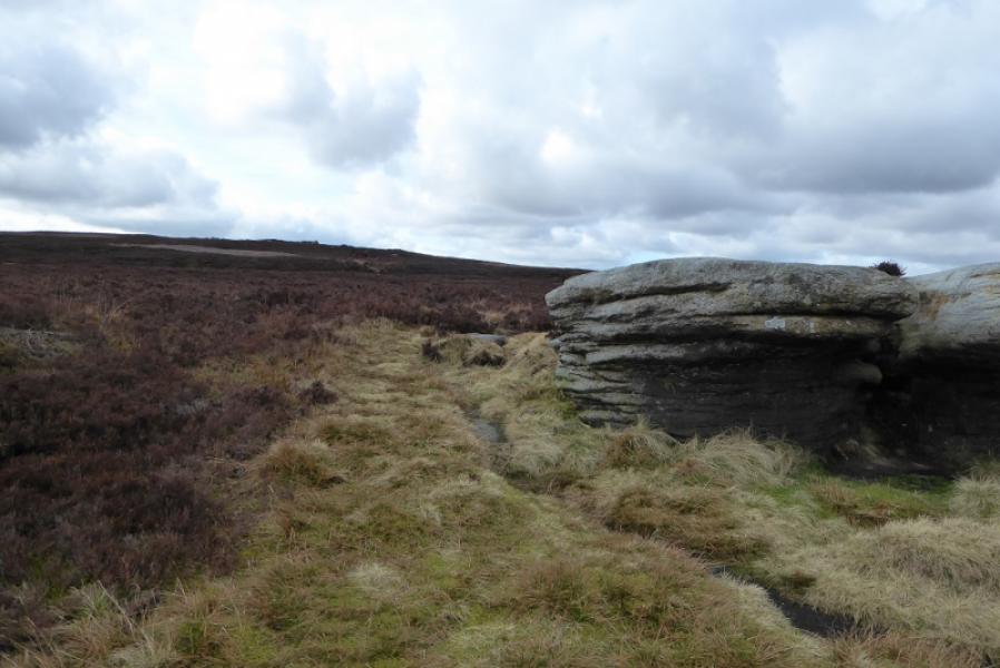
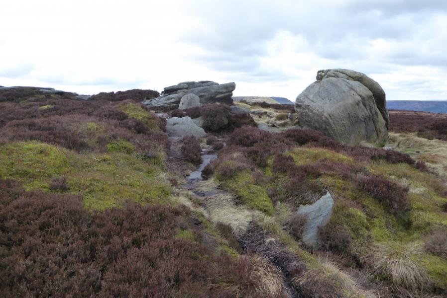
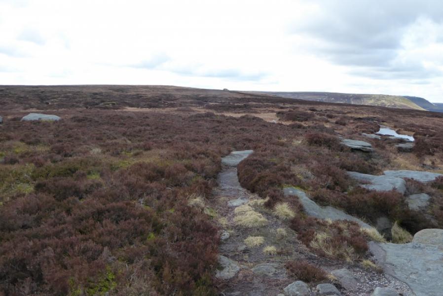
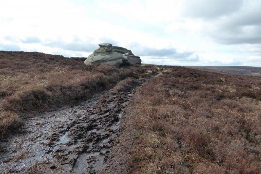
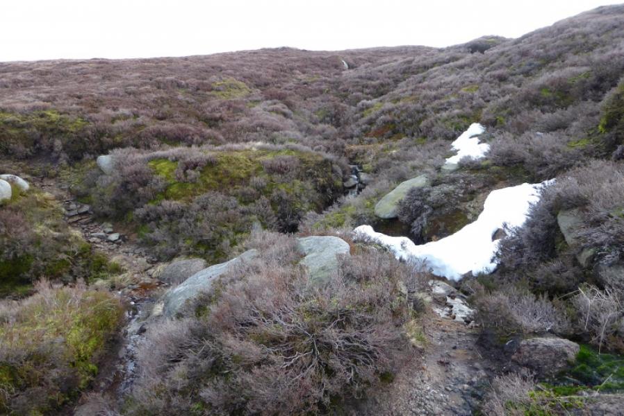
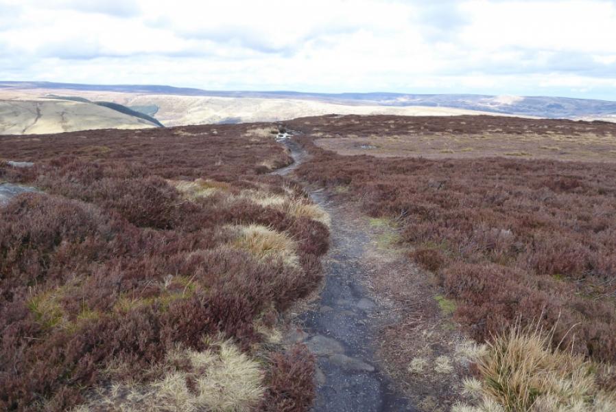
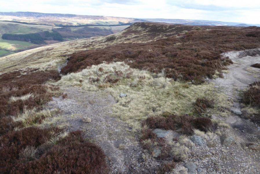
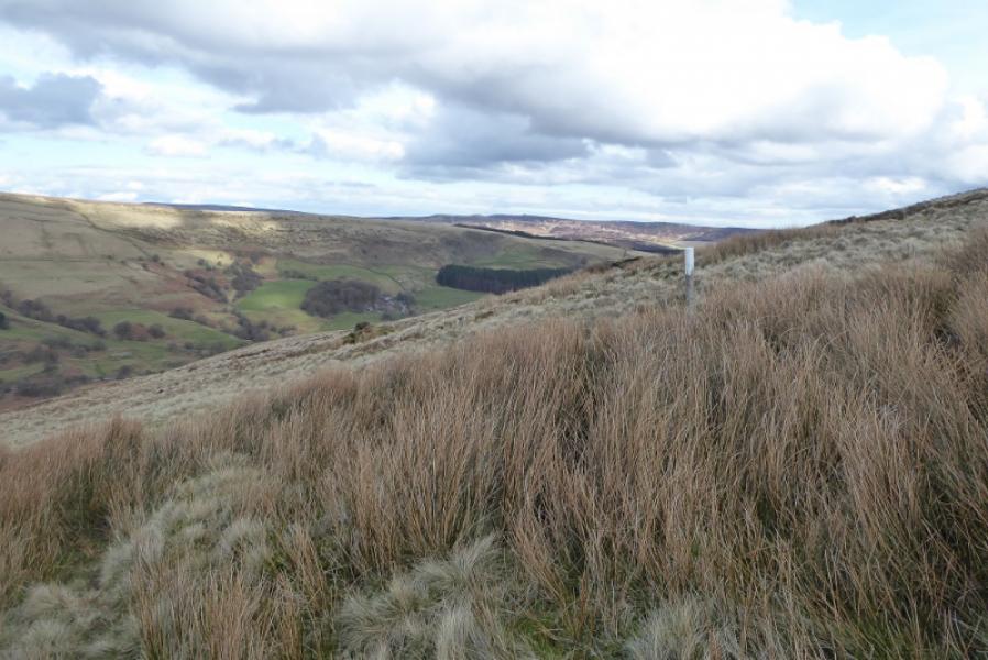
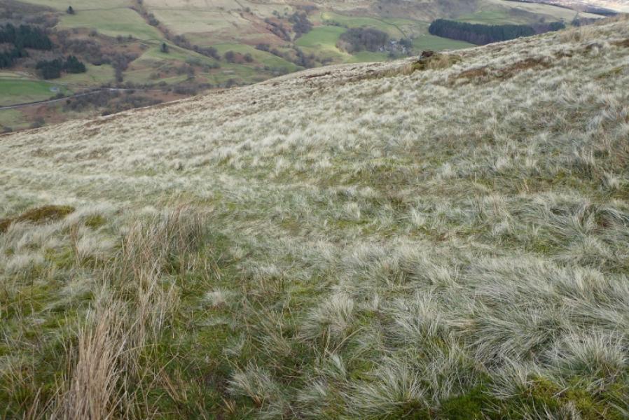
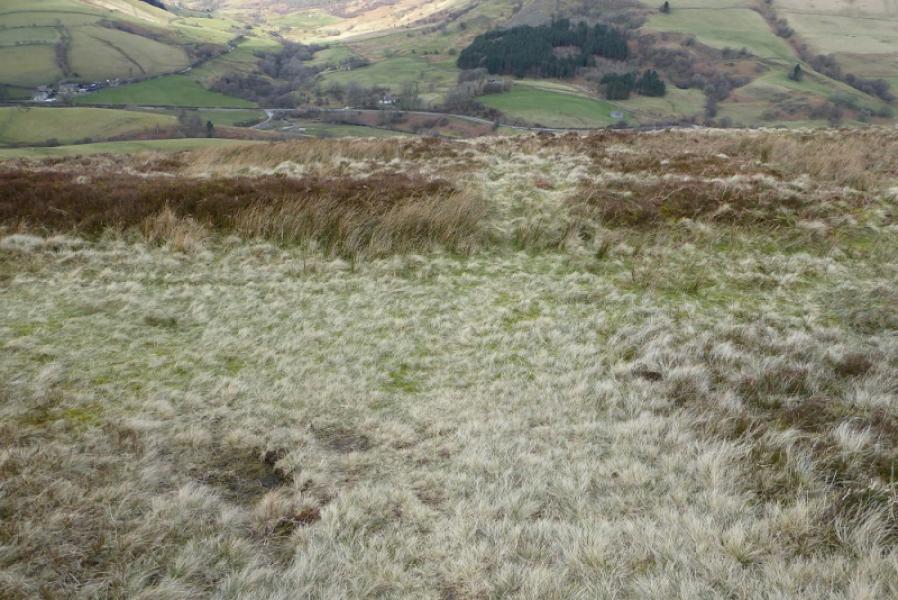
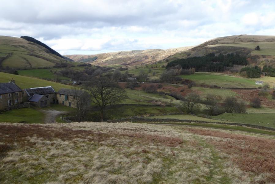
(1) Walk down the tarmac track to Rowlee Bridge over the River Ashop, Stay on the track, towards Upper Ashop, and cross a culvert. Continue to a reverse left fork signed for Hope Cross which is the start of the stony track. Follow the track up until it starts to level off and a rough ATV track forks off right, by a post, just before the wall joins from the left. Follow the track to reach a prominent tree at a wall corner. Turn right and follow a fainter track along a broken wall towards Crookstone Knoll, the prominent peak ahead. In places, the wall has been built up and numbered as grouse butts. Further on the track goes through the wall and continues. Reach a post with a white top and leave the track and pick a way up mainly rough grass towards the east ridge of Crookstone Knoll where a reasonable path leads up onto the top although it isn't really a top, just the start of the Kinder plateau. Find a path ascending gently, roughly WSW, over increasingly boggy ground with several boggy dips. Reach an outcrop and continue to the next outcrop which will be seen in clear weather. The second outcrop is Madwoman's Stones. Continue to a third outcrop. You may get a glimpse of the Edale Moor trig point before reaching the third outcrop. Continue to the trig point which has been much improved with cobbles around it so it it a pleasant place to stop with good all round views.
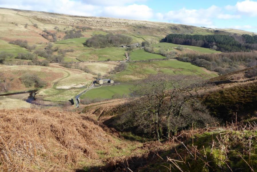
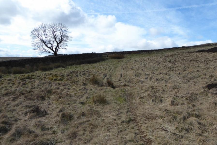
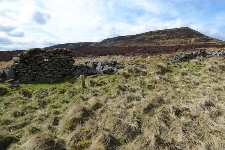
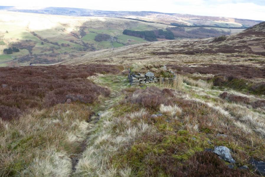
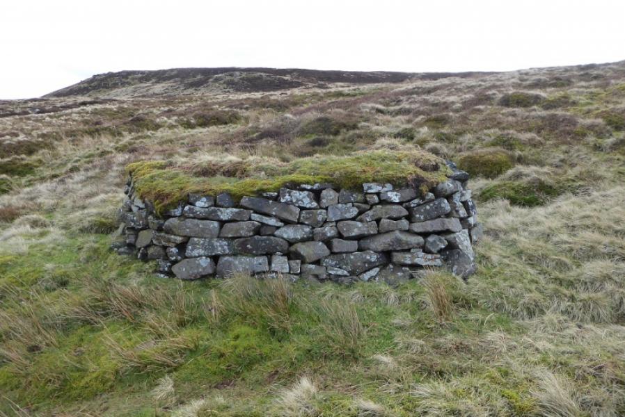
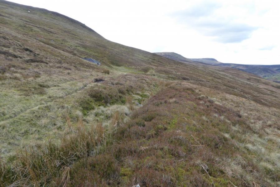
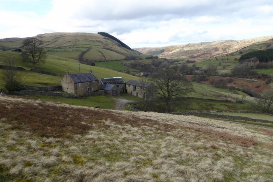
(2) Head N on a faint and muddy path to reach the Kinder Edge path and turn right, E, along Blackden Edge. Follow this to a diagonal crossroads of paths and turn left. The path goes N then curves around E. Further on it splits as Crookstone Knoll is approached. Take the left fork, very much the minor path, and follow it towards the ground below the north side of Crookstone Knoll. Soon reach a crossroads of paths. Turn left and follow a path down past some traditional grouse butts. Reach an ATV track just after some tall grass and turn left. Reach and cross another ATV track further down. There is a shooting cabin about 50 m W of this crossing which can be visited although it is usually kept locked. After the crosing, the ATV track steepens and leads down to the farm at Upper Ashop. Reach the main track at the bottom, turn right and follow it back to the start.
Notes
(a) This walk took place on 13th March, 2020.
Photos - Hover over photo for caption. Click on to enlarge. Click on again to reduce.