Get Lost Mountaineering
You are here: England » Peak District » Baslow to Ladybower including Gardom's, Birchen, Froggat, Curbar, Burbage, Higgar Tor & Stanage
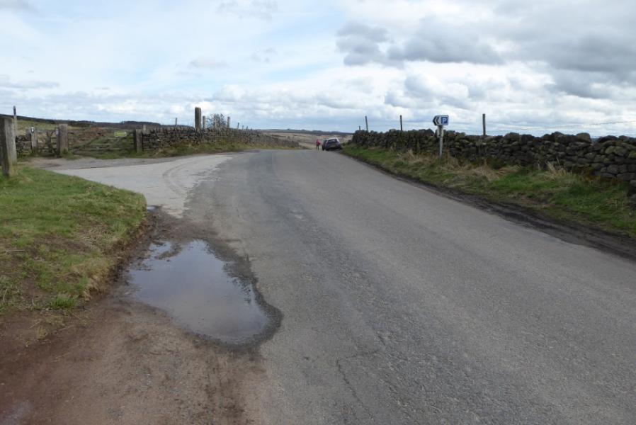
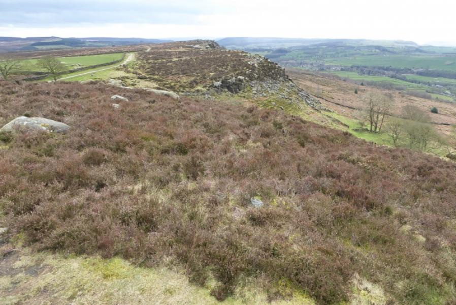
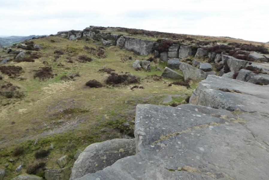
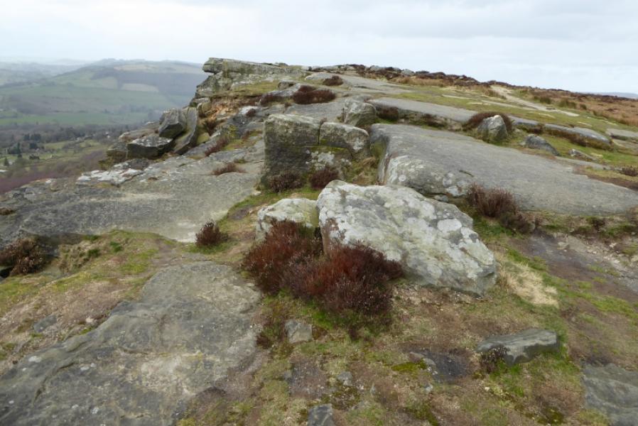
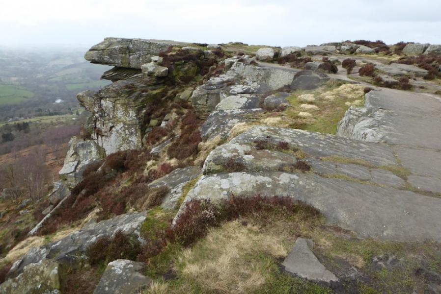
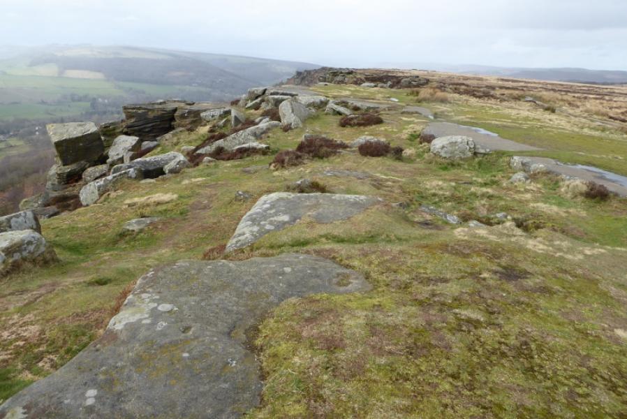
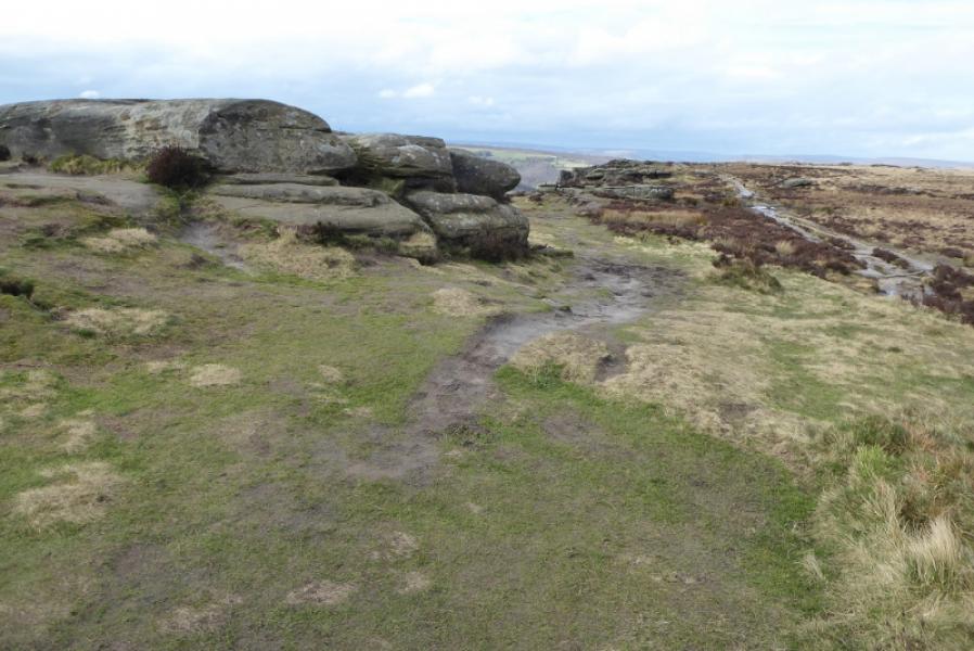
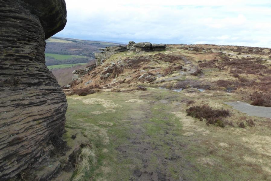
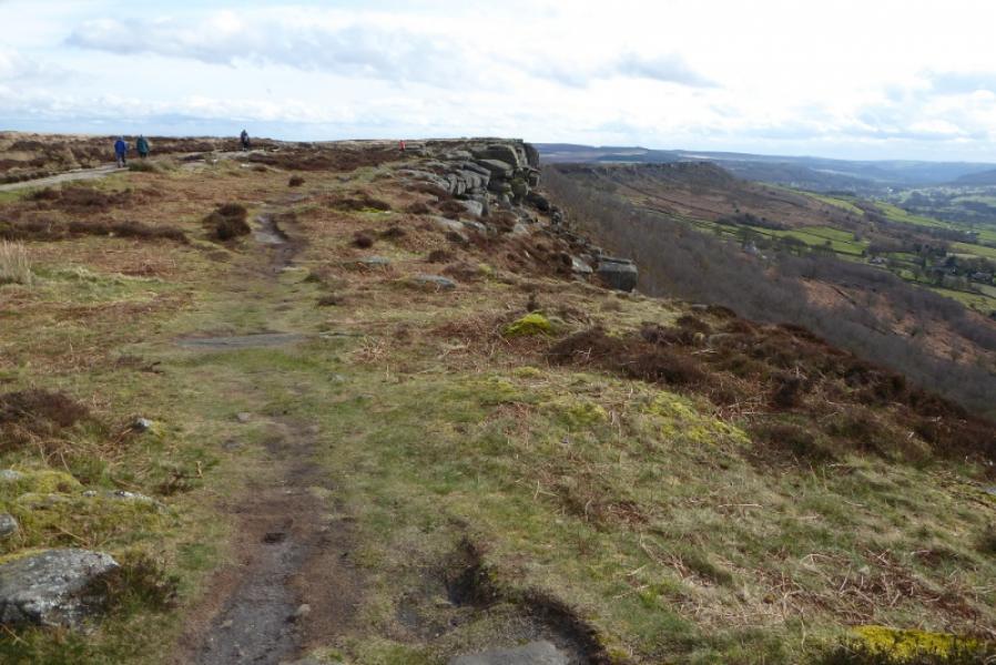
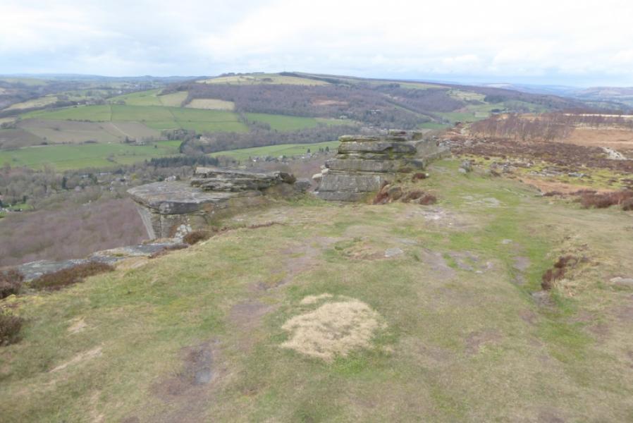
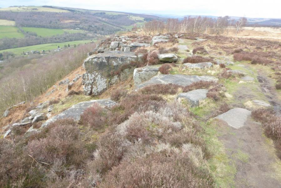
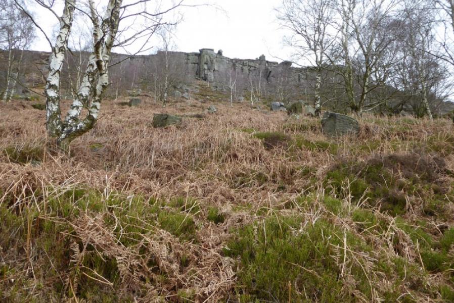
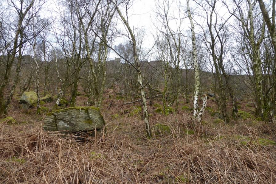
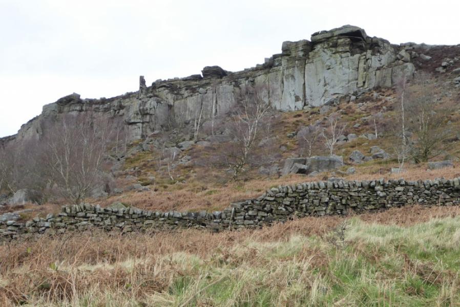
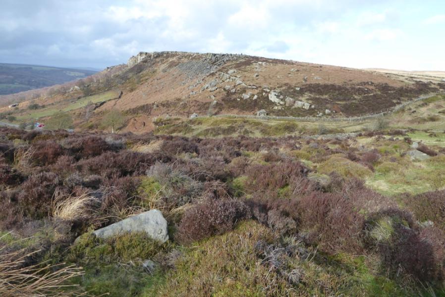
Curbar Edge from Curbar Gap
Curbar Edge from Curbar Gap
Start/Finish
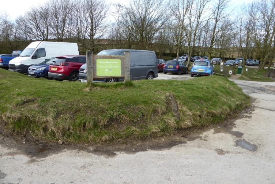
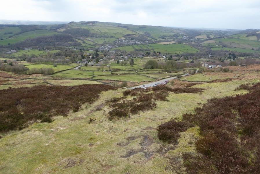
Curbar Gap car park which is marked on all maps and is at SK 262 747. It is due east of Curbar village and almost due north of Baslow. The easiest way to it is from the A621 road from Baslow to Sheffield.
Distance/Time
3 km About 1 – 2 hours
Peaks
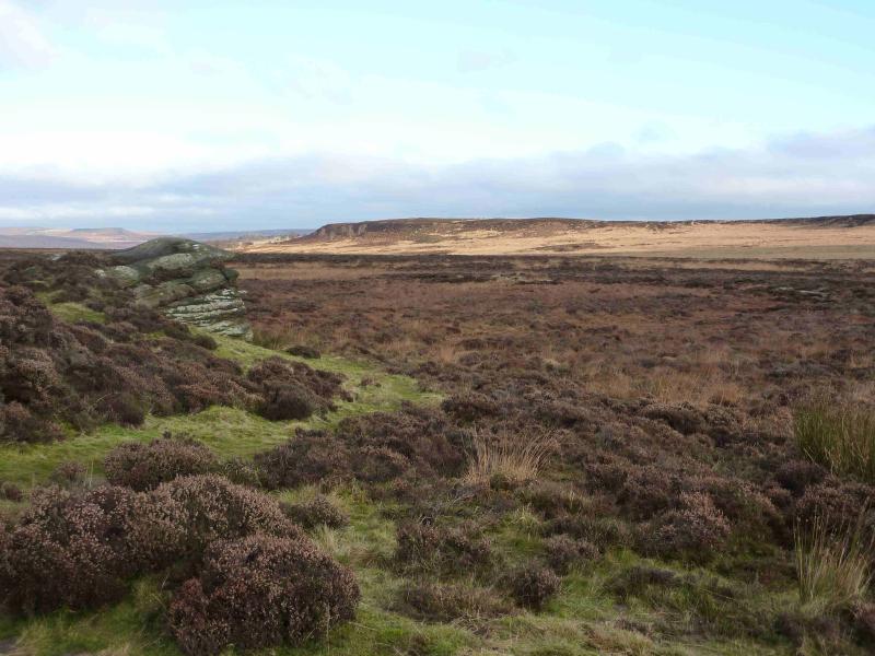
There are no real summits on this walk as it is mainly an edge walk above then below Curbar Edge.
OS Outdoor Leisure 24: White Peak
Introduction
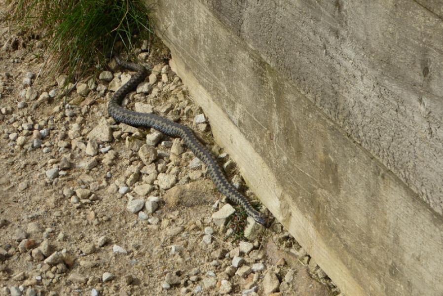
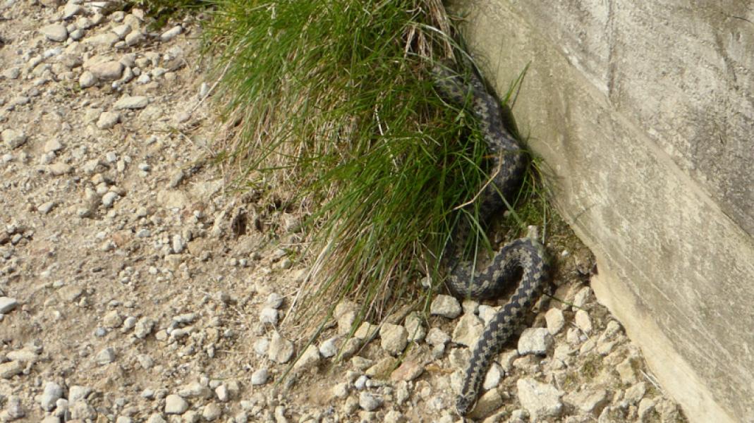
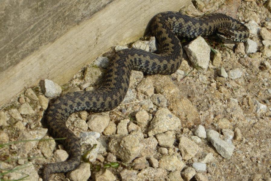
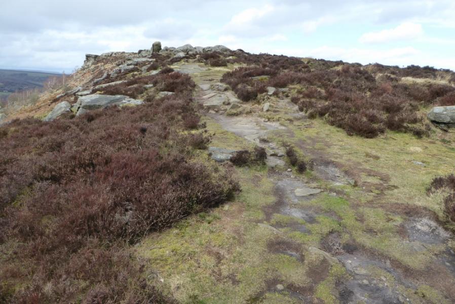
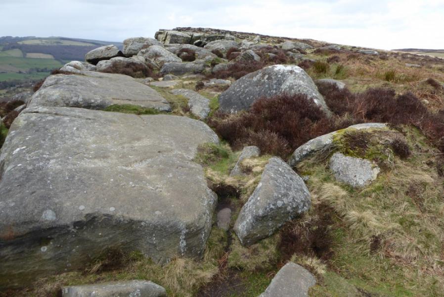
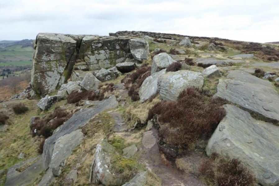
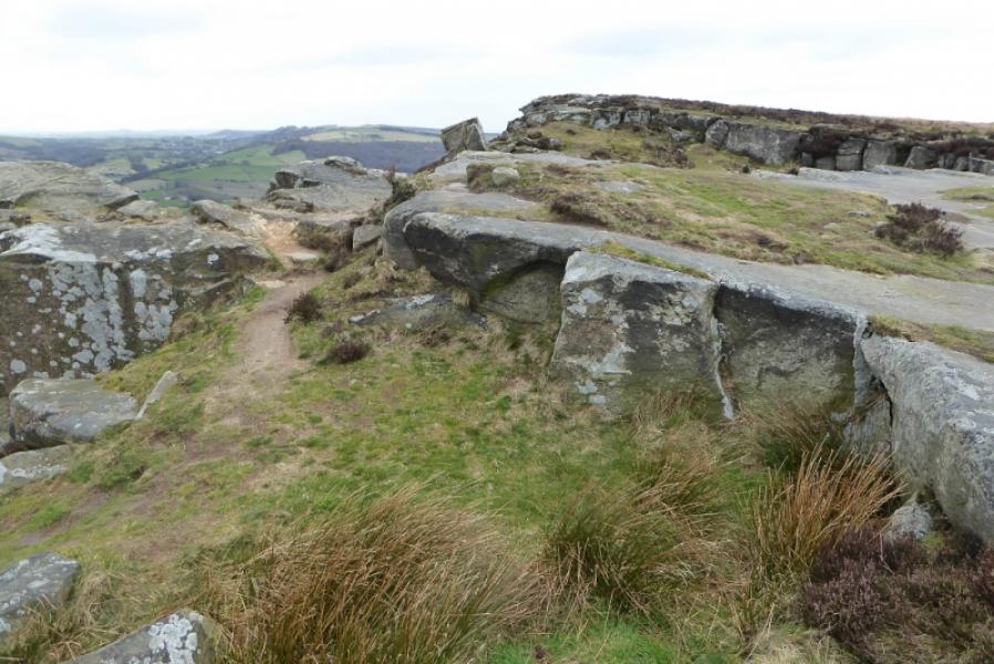
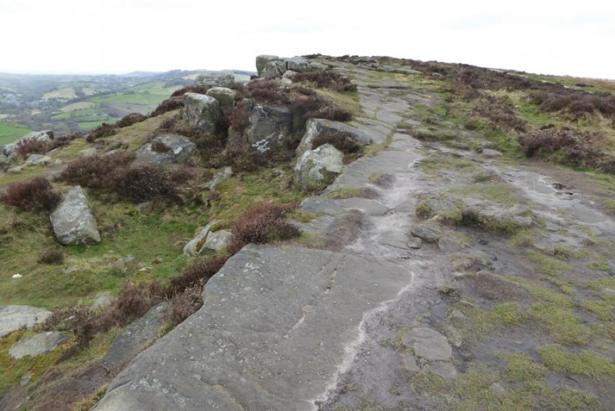
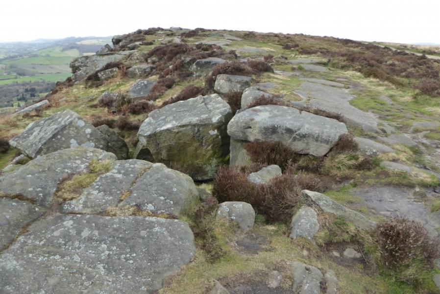
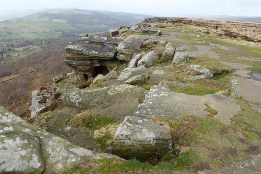
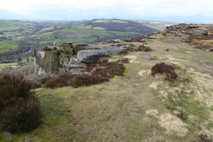
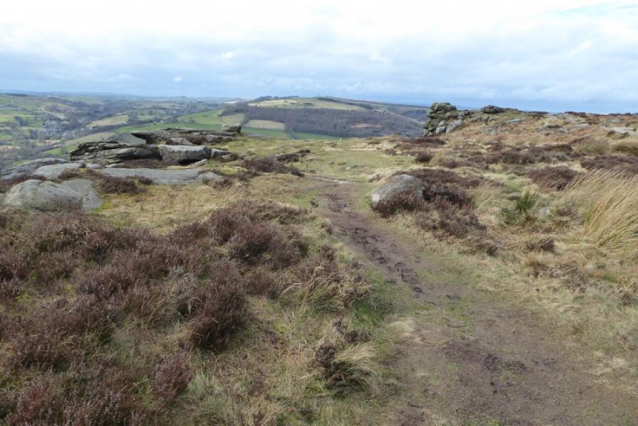
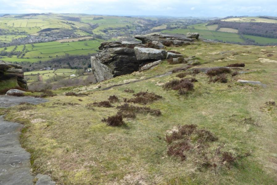
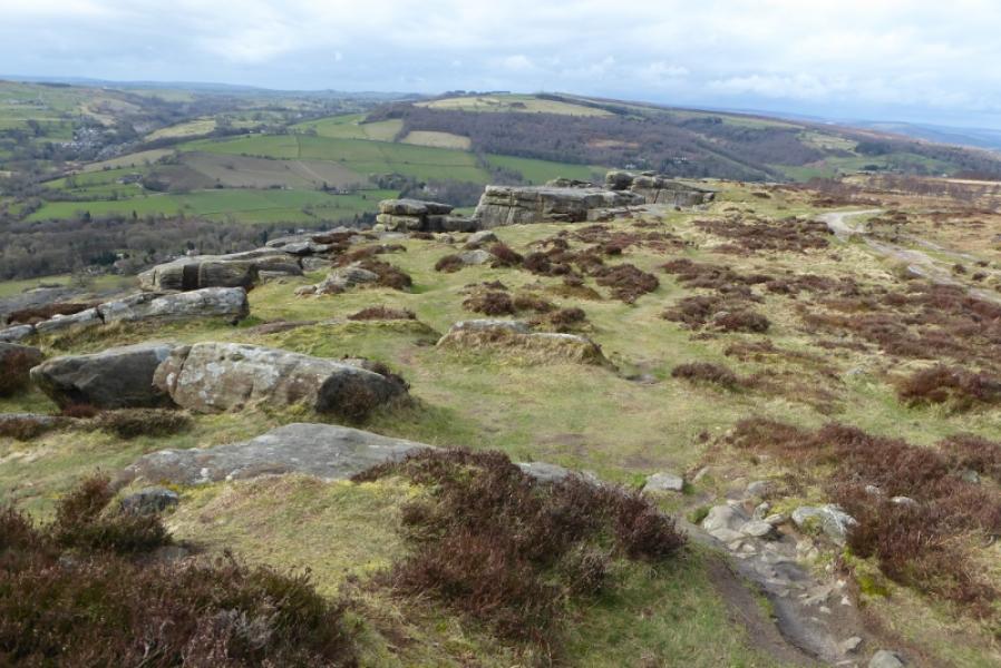
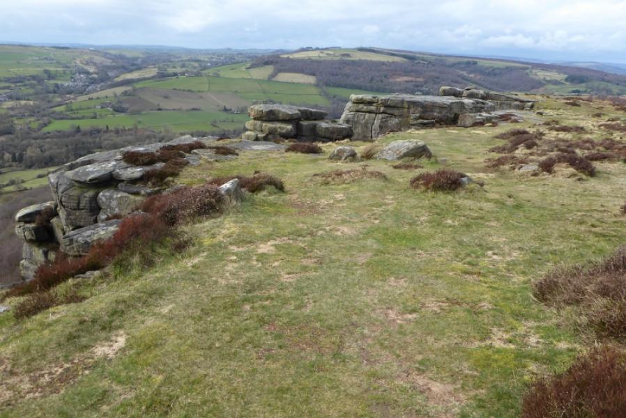
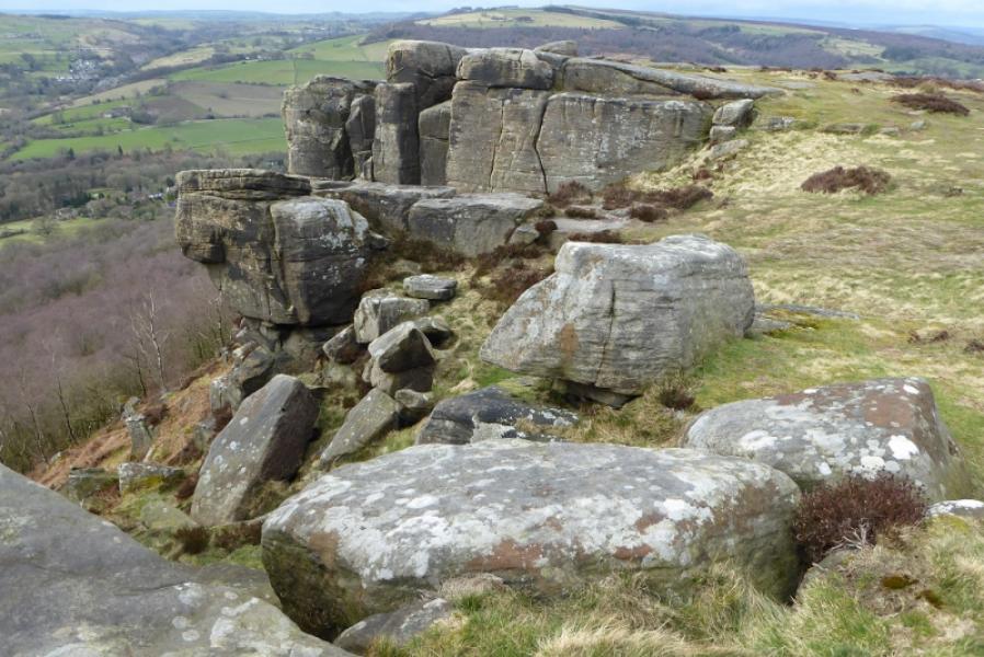
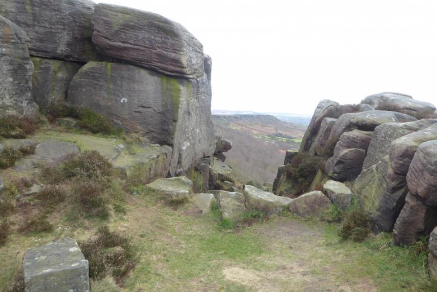
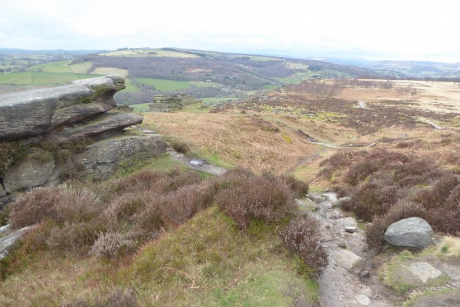
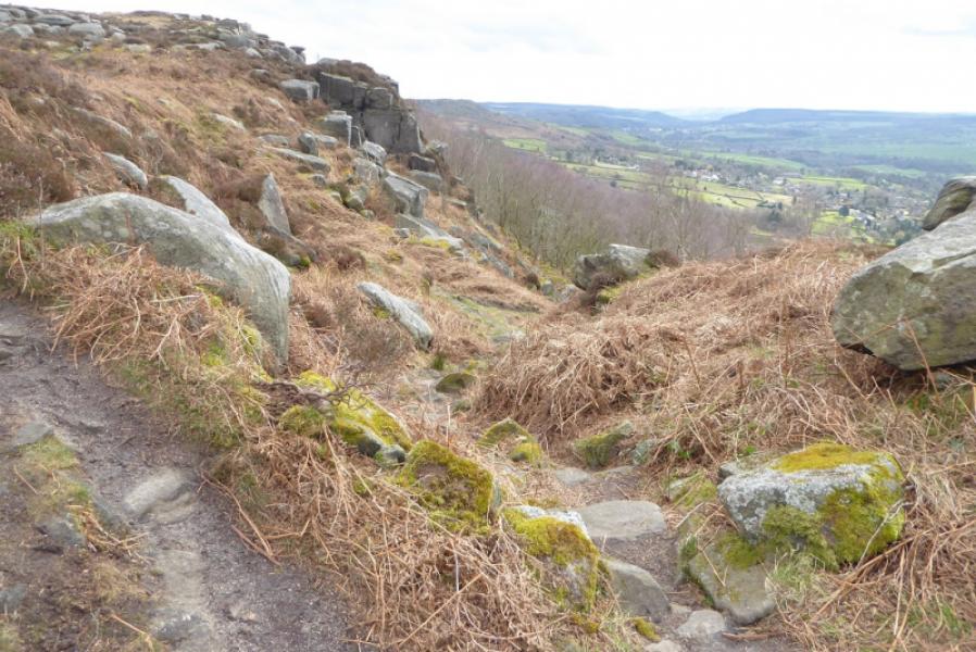
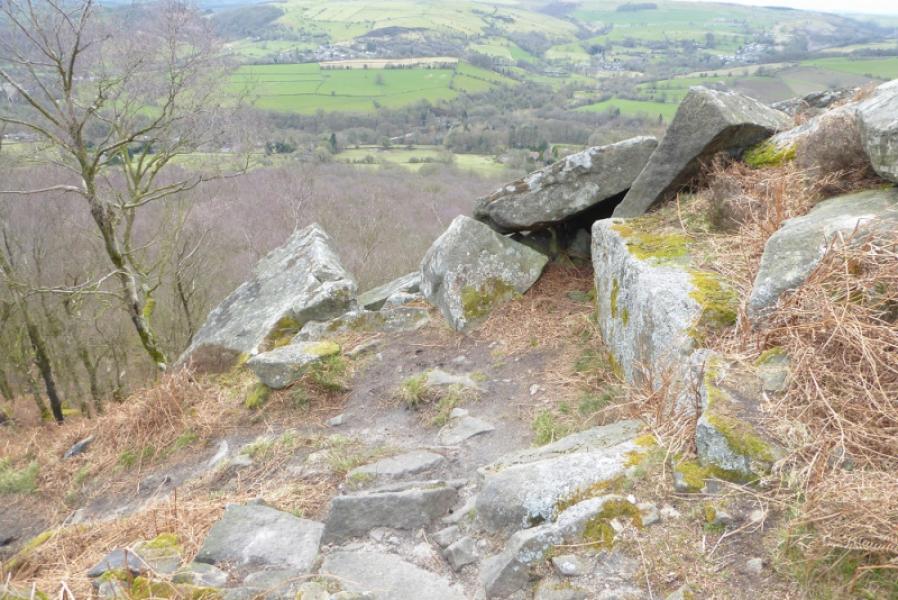
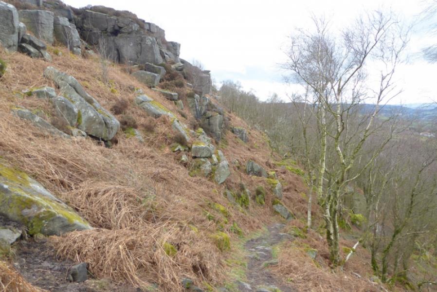
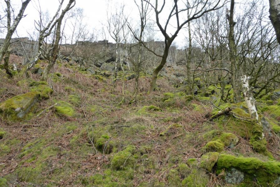
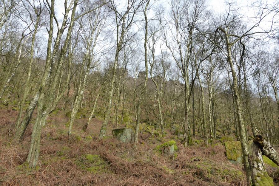
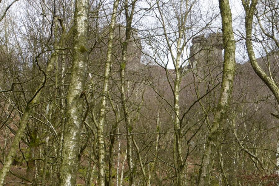
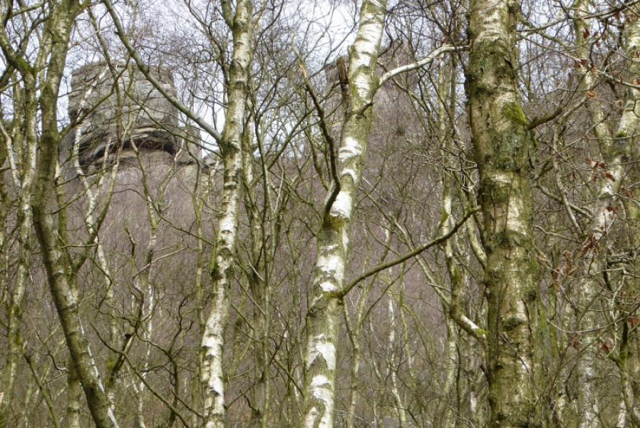
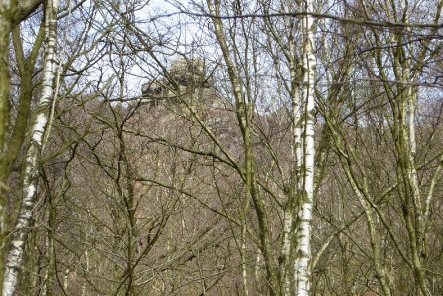
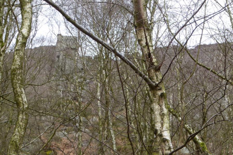
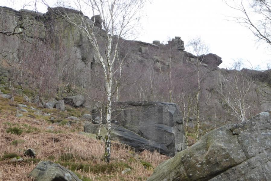
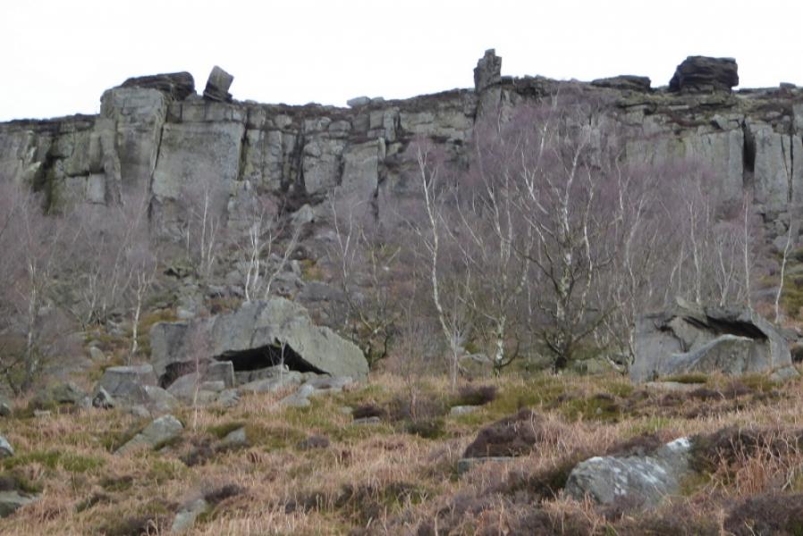
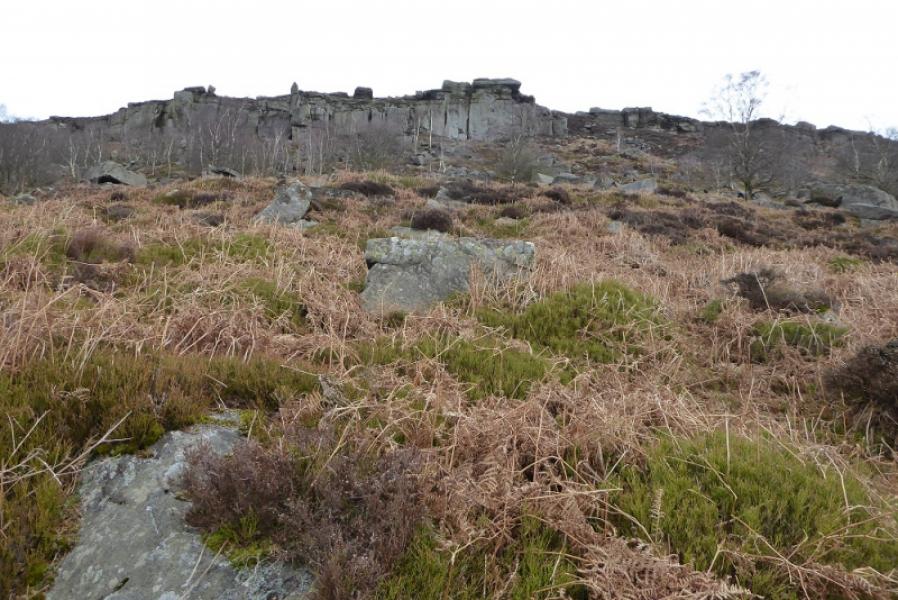
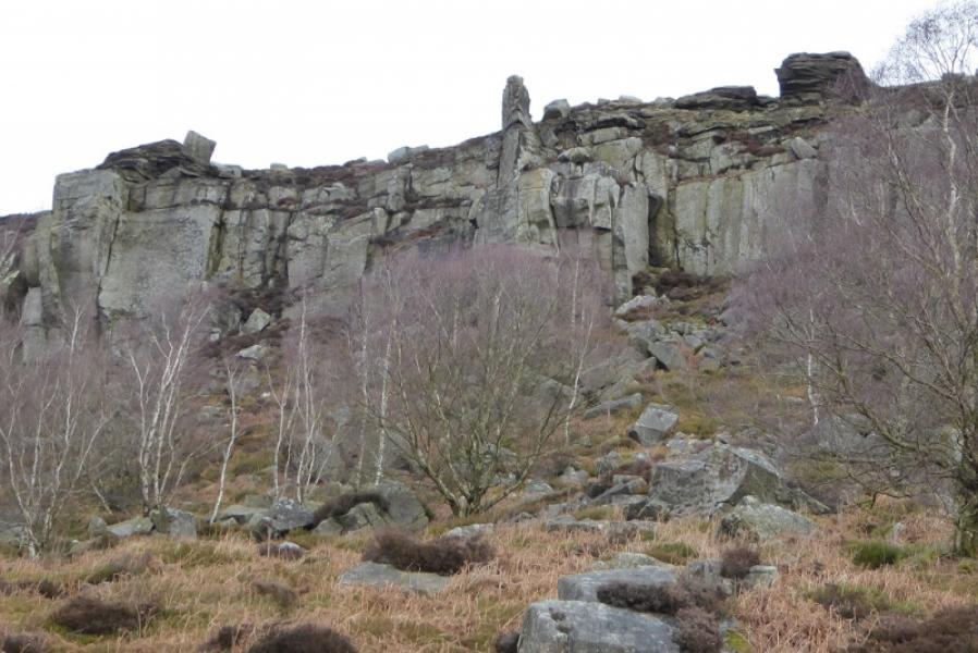
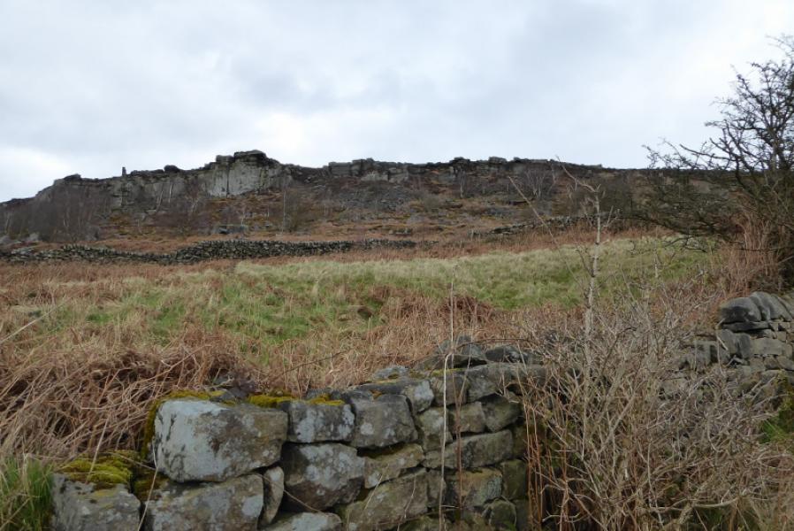
This is a short walk in the White Peak although the rock is more in keeping with the Dark Peak! Unlike many of the edges in the Peak District, there is plenty of rock on the top of the cliffs which is well seen on the path above the edge. Better views would be expected from below the edge but a wood of silver birch blocks out much of the view from the bottom path. For that reason, this walk is recommended when there are no leaves on the trees; in summer, very little will be seen from the bottom path. It is possible to get nearer to the bottom of the cliffs but this is not as easy to walk as the main bottom path as the ground is largely overgrown and littered with fallen rocks. You may find yourself having to keep returning to the main path to make progress. During this walk, even though it was only mid-March, an adder, the England's only poisonous snake, was by the gate onto Curbar Edge so bear this in mind if you have children with you.
Route
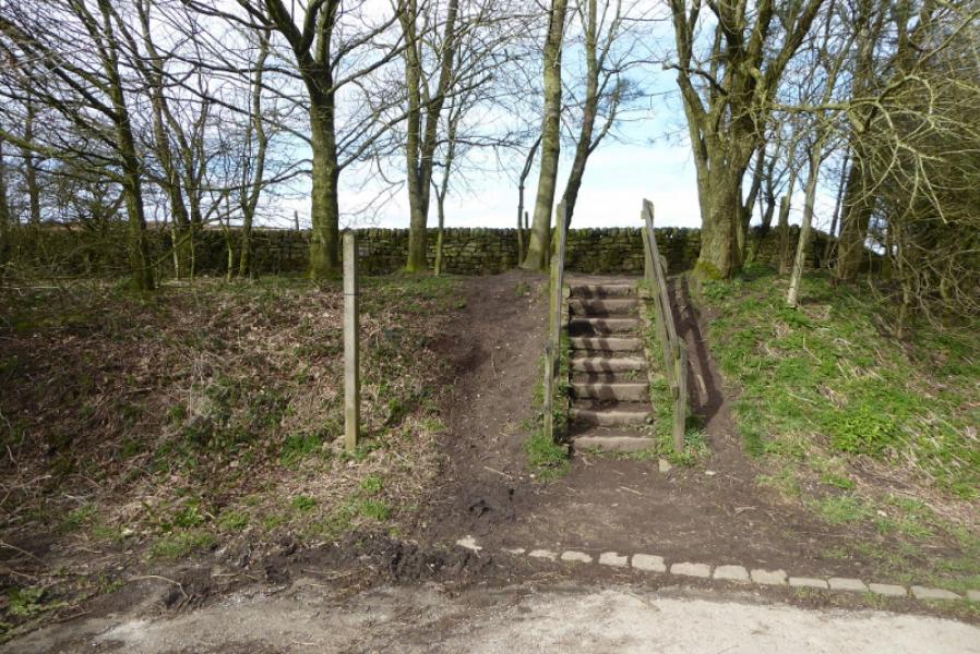
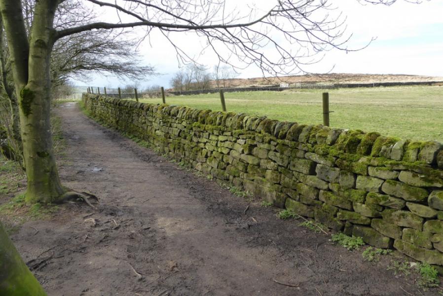
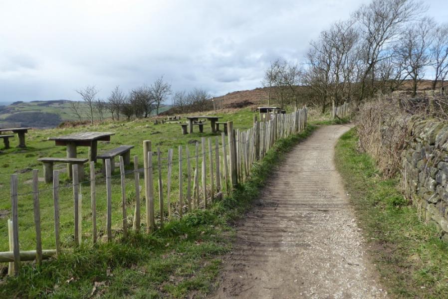
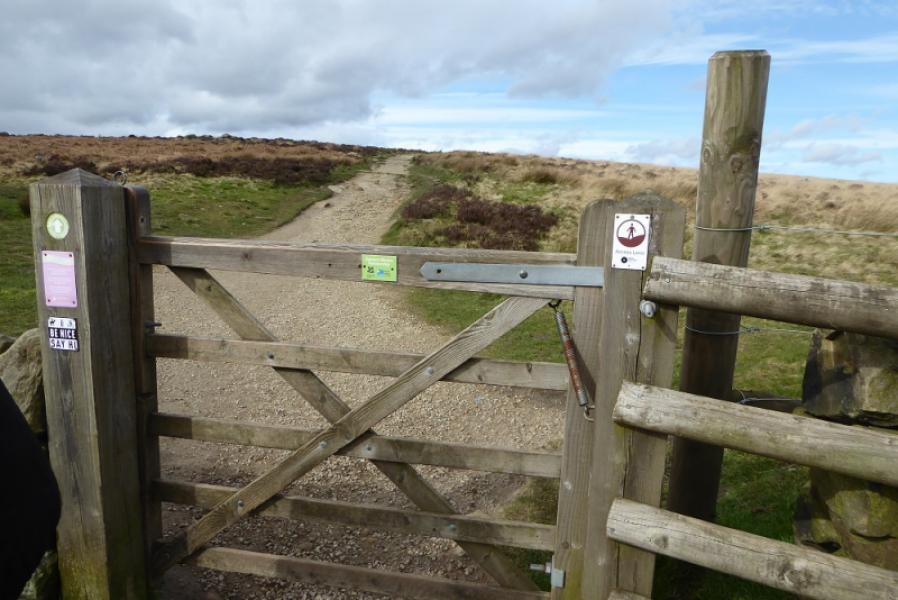
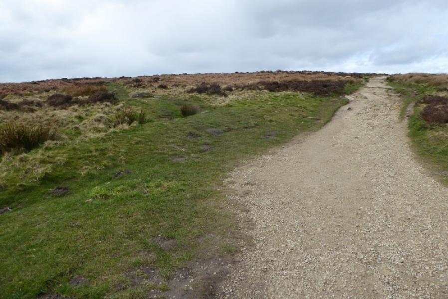
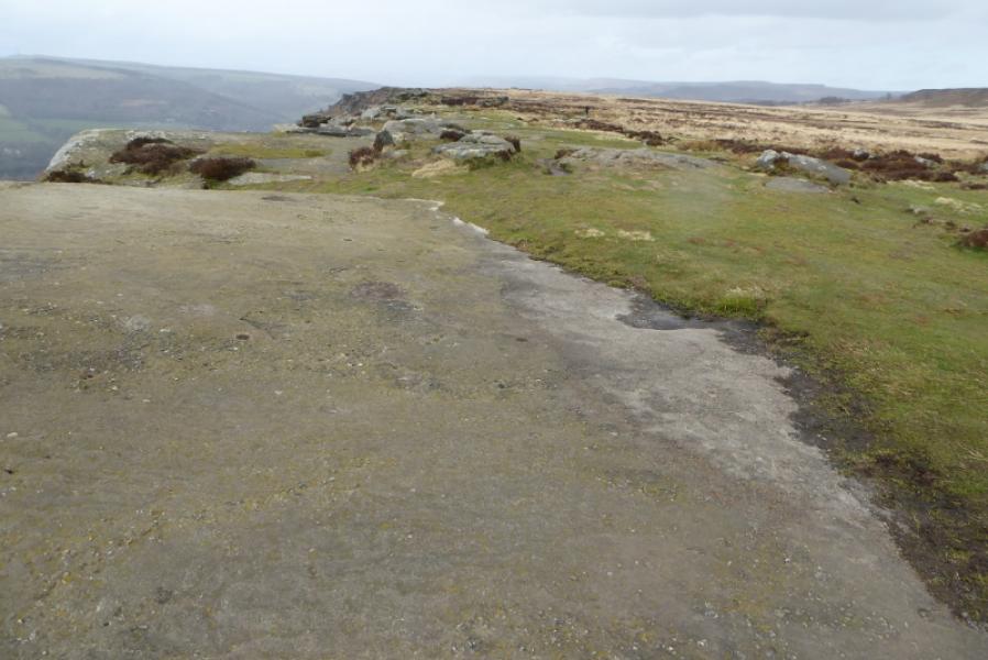
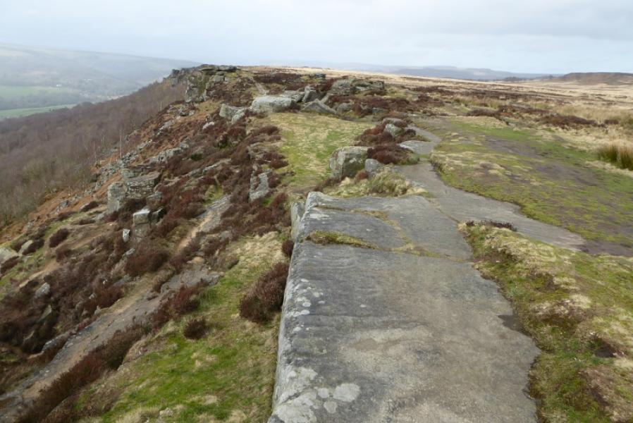
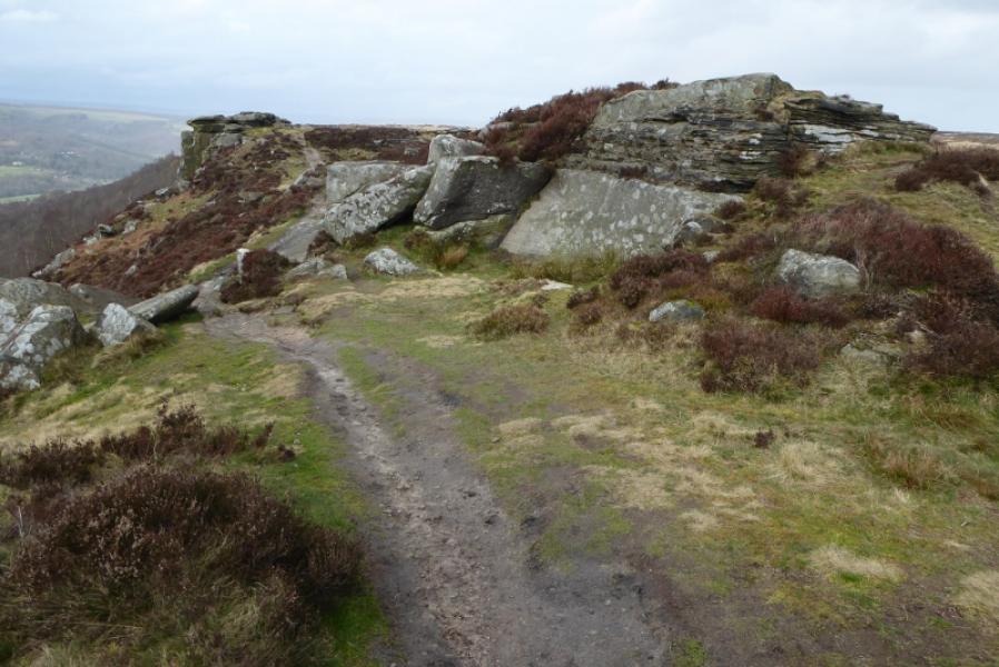
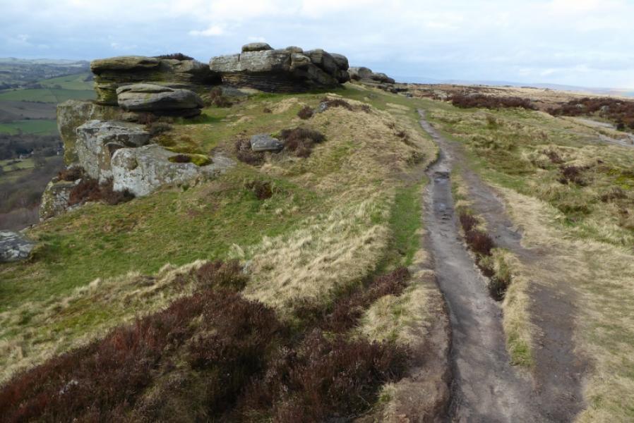
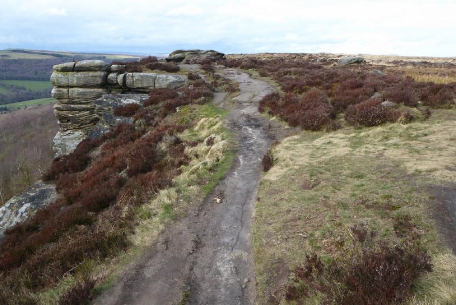
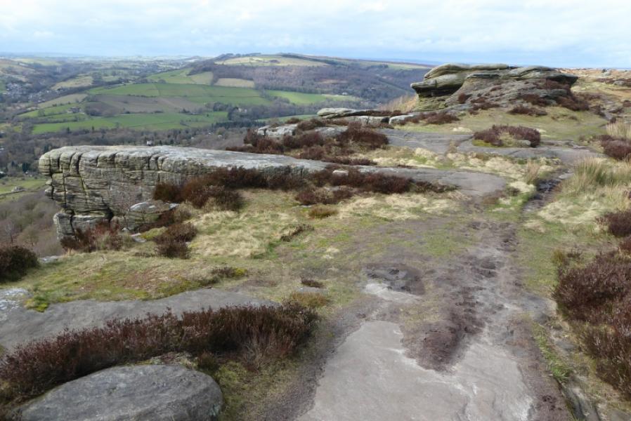
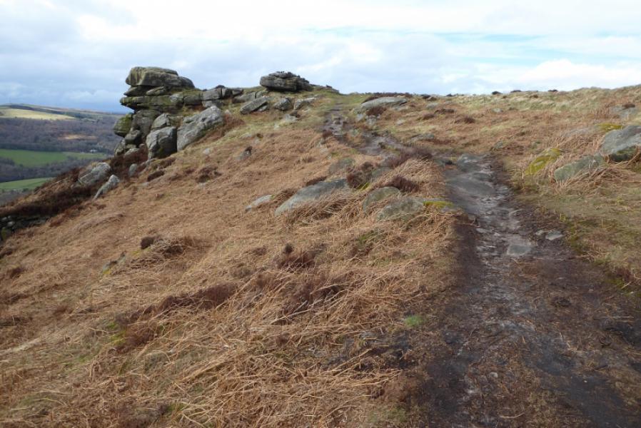
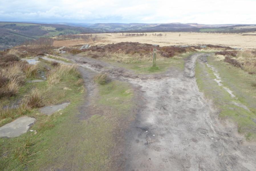
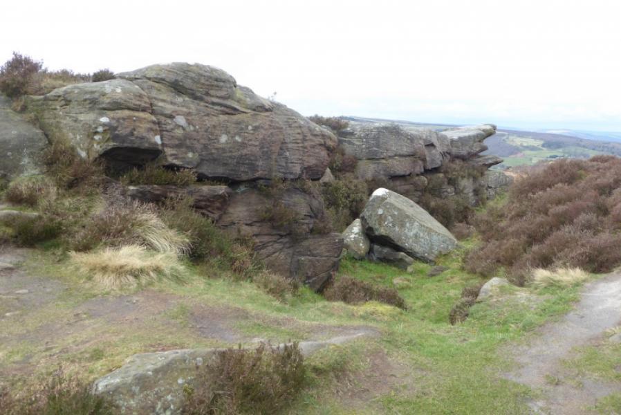
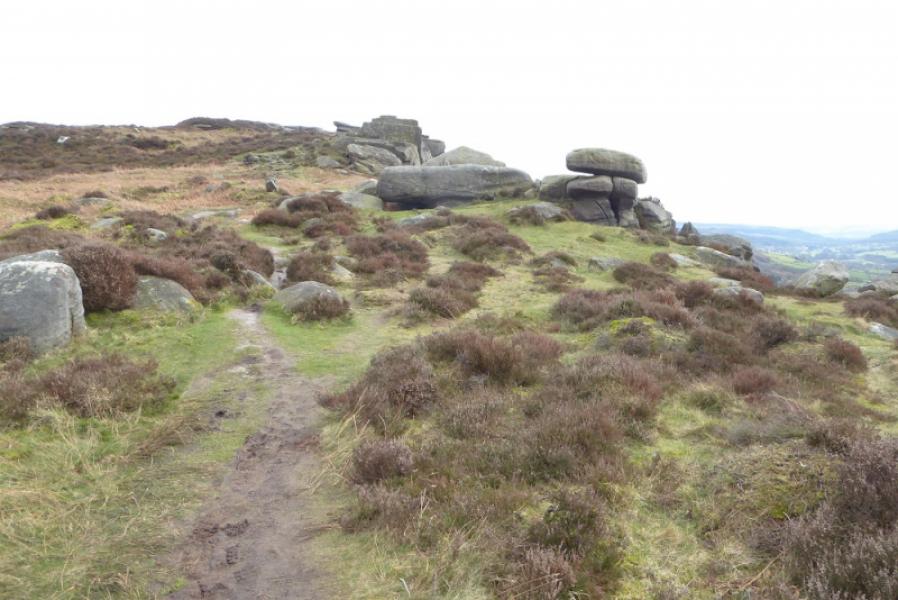
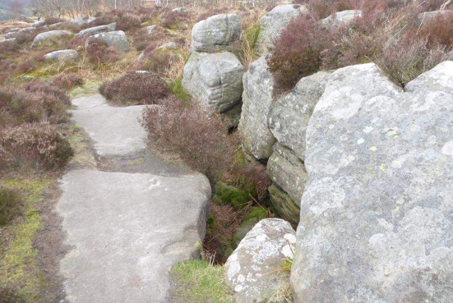
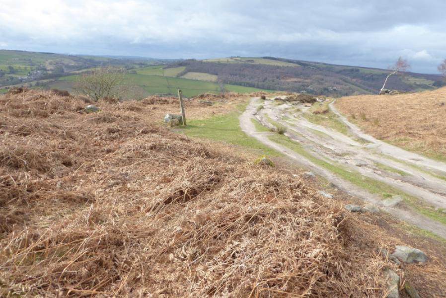
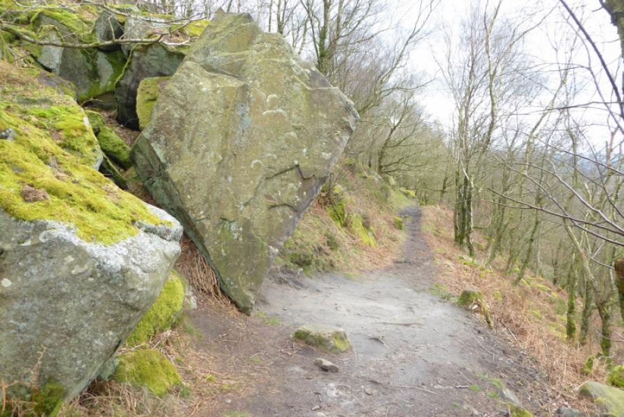
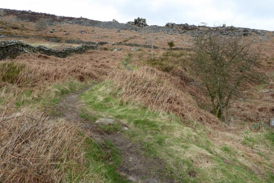
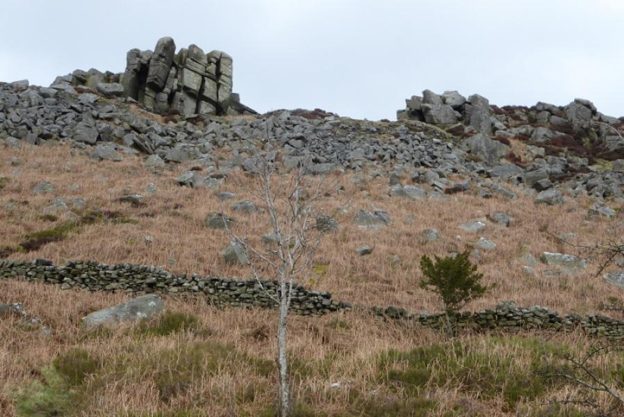
(1) At the back of the front car park, by the ice cream van if it is there, are some steps. Go up these then turn left along the wall. Pass the picnic area (on the left) then continue to join the main path coming up from the road. Follow this to a gate. Immediately after, leave the main path and fork left on a grassy path and follow it to the edge. Head roughly north on a fairly obvious path which stays fairly close to the edge where there are some big drops in places. There are numerous outcrops, scoops and a few rock towers at the top of cliffs which are higher than the edge path. The main path is never that far away to the right. Stay with the edge path or main path including when the path starts to descend towards the broad dip before Froggatt Edge. Just before the lowest point is a sign with just arrows on it.
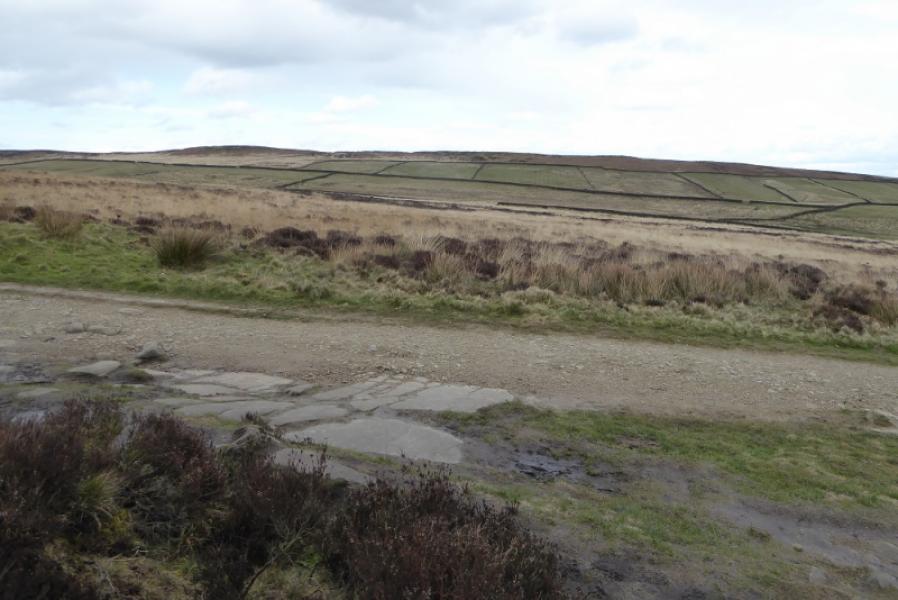
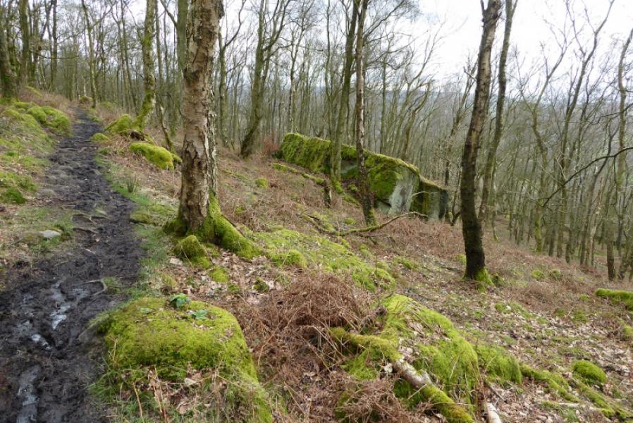
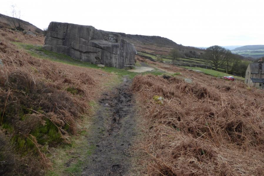
(2) Turn left at this sign and follow the path off the edge. It twists a bit to start with then straightens and makes a long gradual descent through the wood where the path can be muddy in places. There are occasional views of the edge through the trees. Eventually reach the end of the wood for an uninterupted view of the edge but not much of the edge remains. Continue, passing a huge boulder near a house, and reach the road. Turn left and walk uphill back to the start. If you wish to avoid the road, there is a path back up onto the edge from the huge boulder.
Notes
(a) This walk took place on 11th March, 2020.
Photos - Hover over photo for caption. Click on to enlarge. Click on again to reduce.