Get Lost Mountaineering
You are here: England » Peak District » Bleaklow, Higher Shelf Stones & Cock Hill from Old Glossop & Snake Pass
Shelf Benches, Ferny Hole & Yellow Slacks from Old Glossop
Shelf Benches, Ferny Hole & Yellow Slacks from Old Glossop
Start/Finish
The turning circle at the end of Shepley Street in Old Glossop. From Glossop, take the Snake Pass road. Go through the first roundabout then take the next left at the Commercial Inn which goes up Manor Park Road. Higher up, the road seems to go right which is Shepley Street (there is a street sign). Follow this to its end at a turning circle just after a large factory on the left. Do not park obstructively in the turning circle but park sensibly close by.
Distance/Time
10 km About 3 – 4 hours
Peaks
None but the highest point reached is about 520 m on the plateau called The Pike.
OS Outdoor Leisure 1: Dark Peak. OS 1 : 50 000 Sheet 110.
Introduction
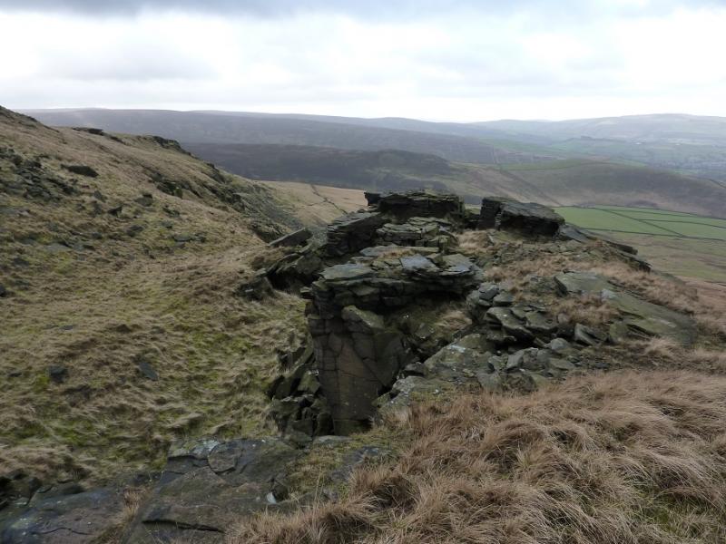
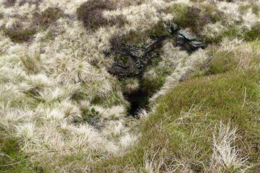
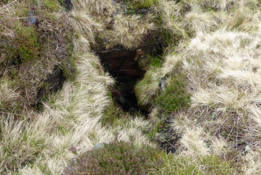
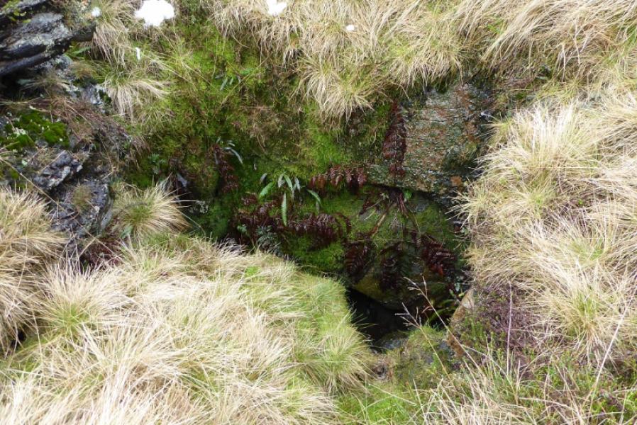
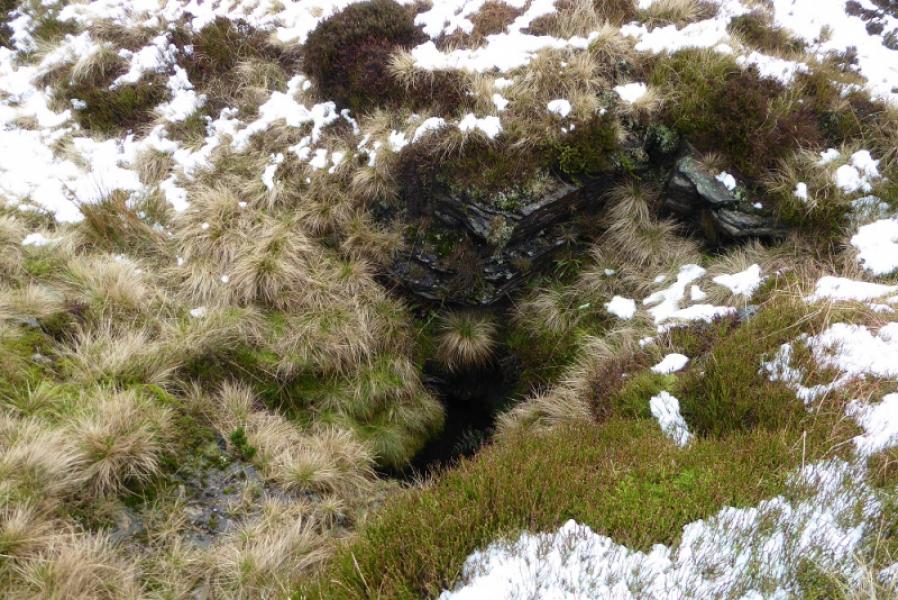
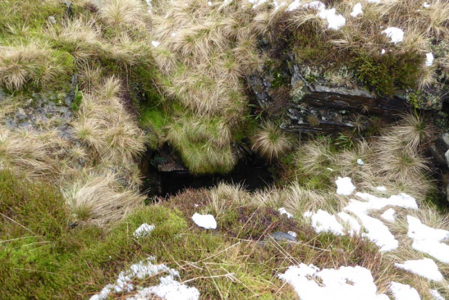
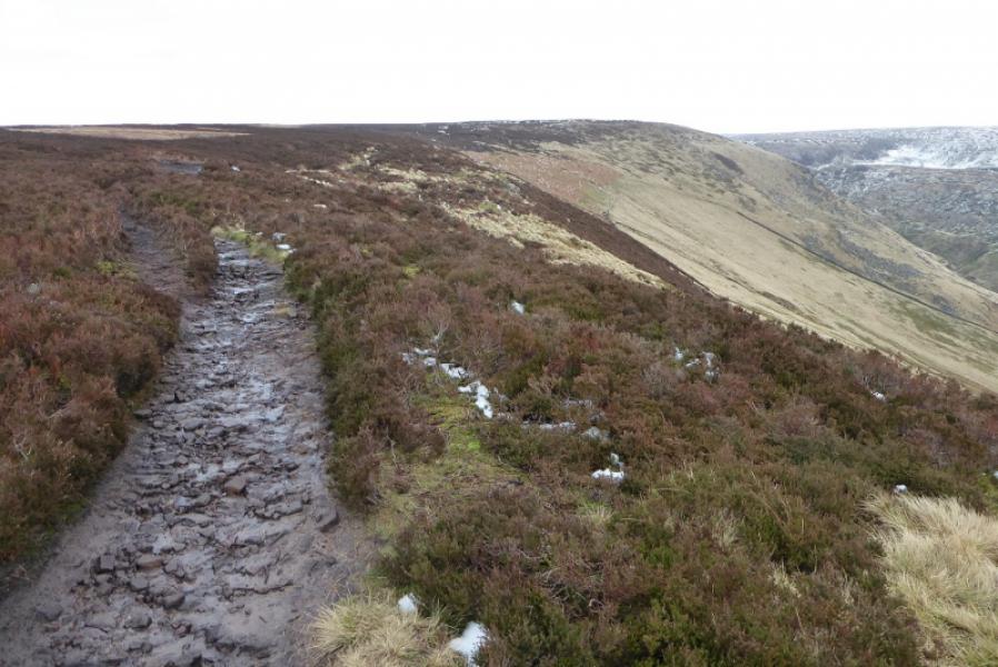
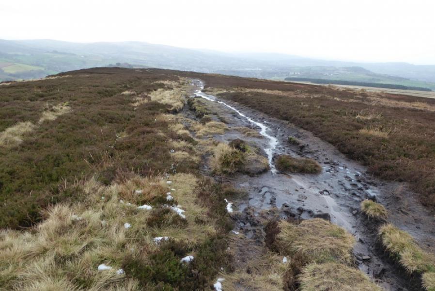
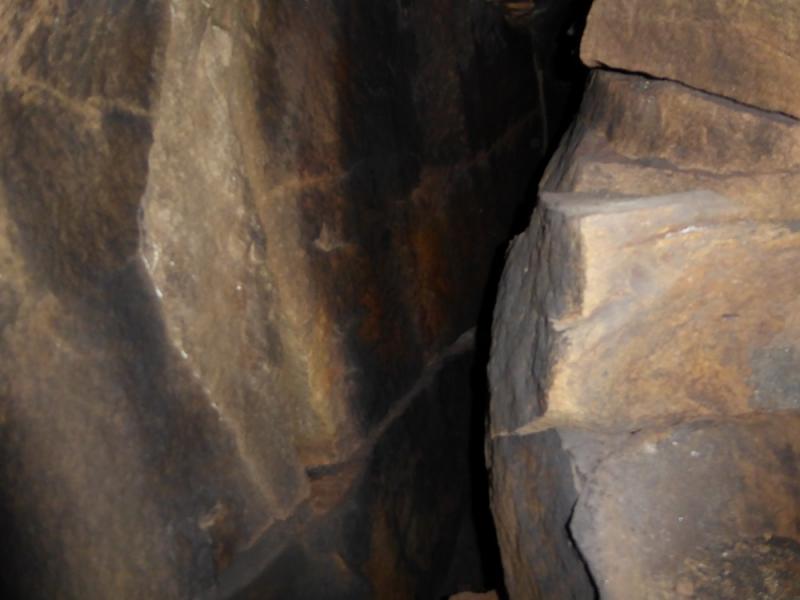
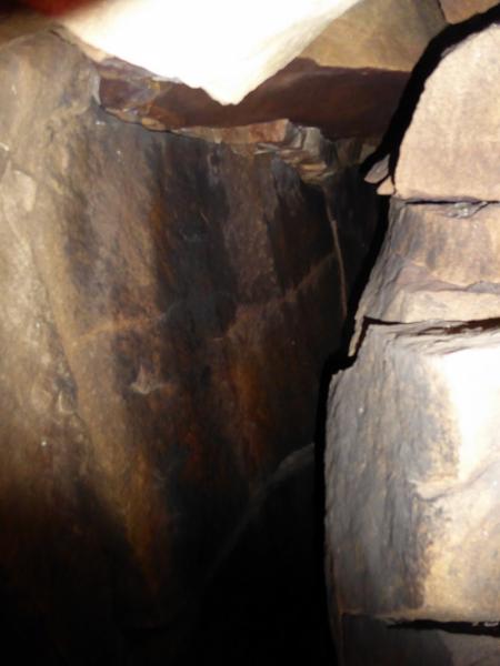
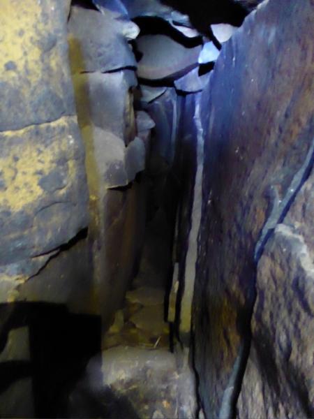
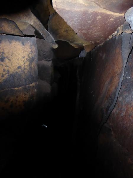
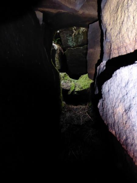
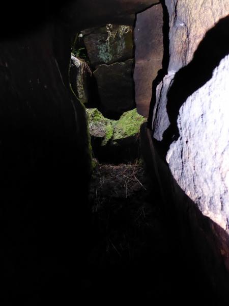
This is a pleasant walk in the Dark Peak which takes in two fine edges plus a pothole/cave. Some of the going is boggy, even in a dry spell, and gaiters are recommended. This walk can easily be accomplished on a short winter's day. Because of the nature of the terrain, this walk is best undertaken in clear weather. There seems to be some confusion as to what Ferny Hole actually is. Some think it is a pothole which leads to a cave whilst others take it to be the “scoop” above Wigan Clough. After some local research, it seems that the former is correct and that Ferny Hole is not where it is named on the OS map (to the south of the upper section of the stream in Wigan Clough) but is at SK 07620 95397 on the plateau of Pt 467 to the north of Shelf Benches. The drop into the pothole is about 3 m and needs care although it is not that technical and should be within the scope of the average scrambler; the rock can be slippery at times.
Route
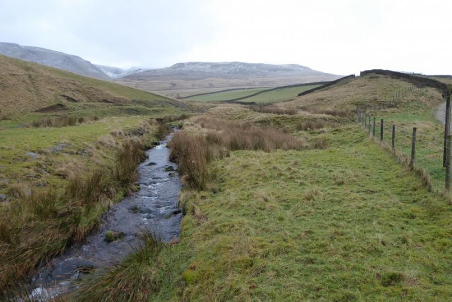
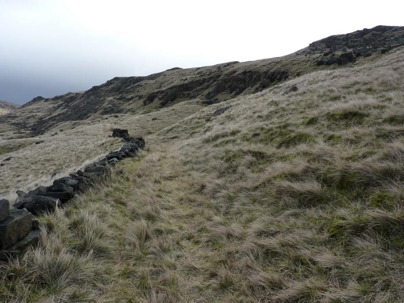
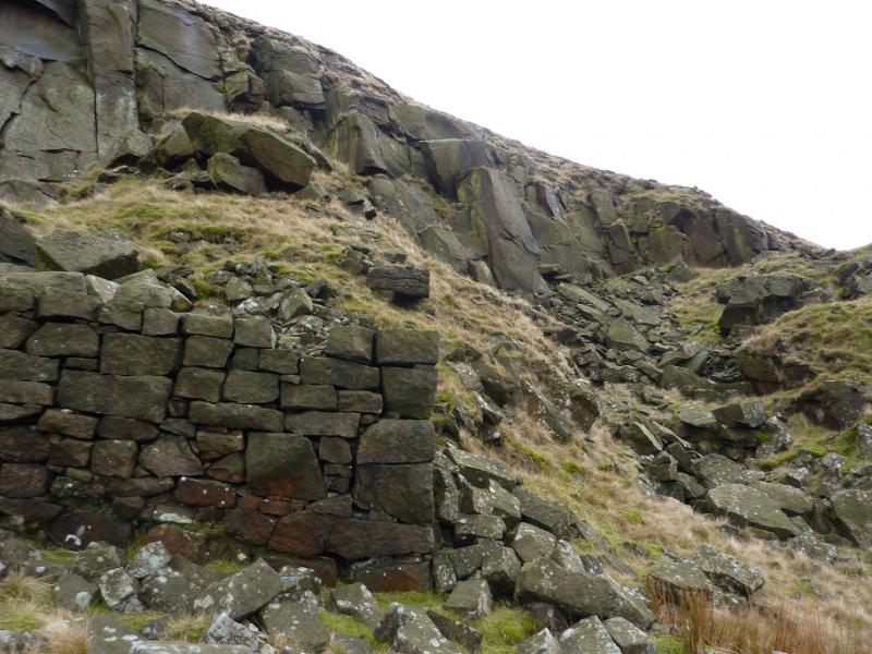
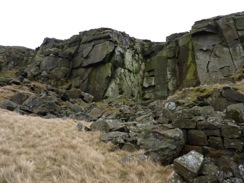
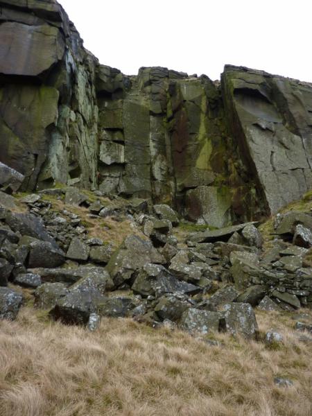
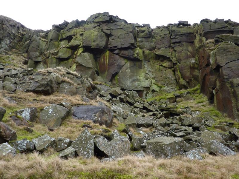
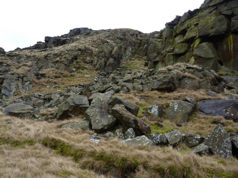
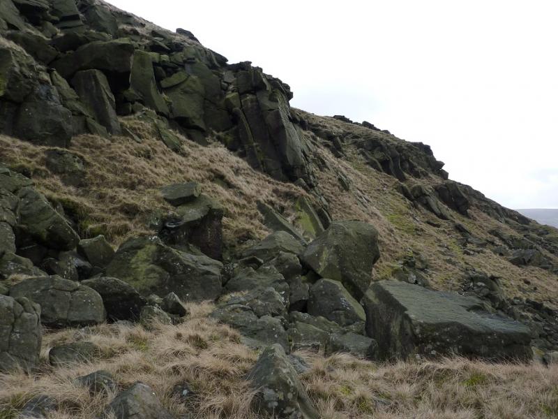
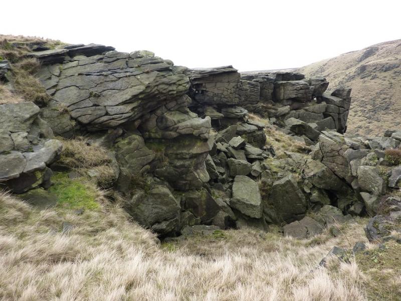
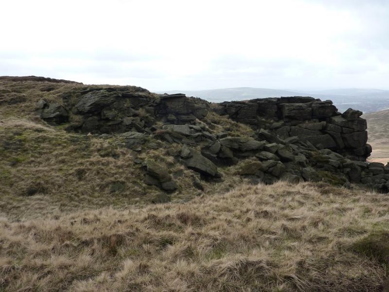
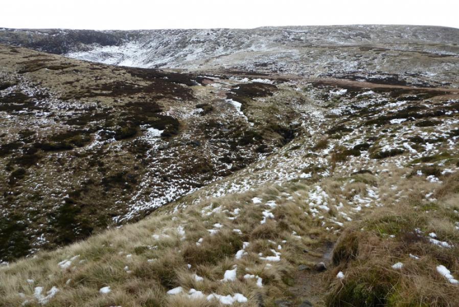
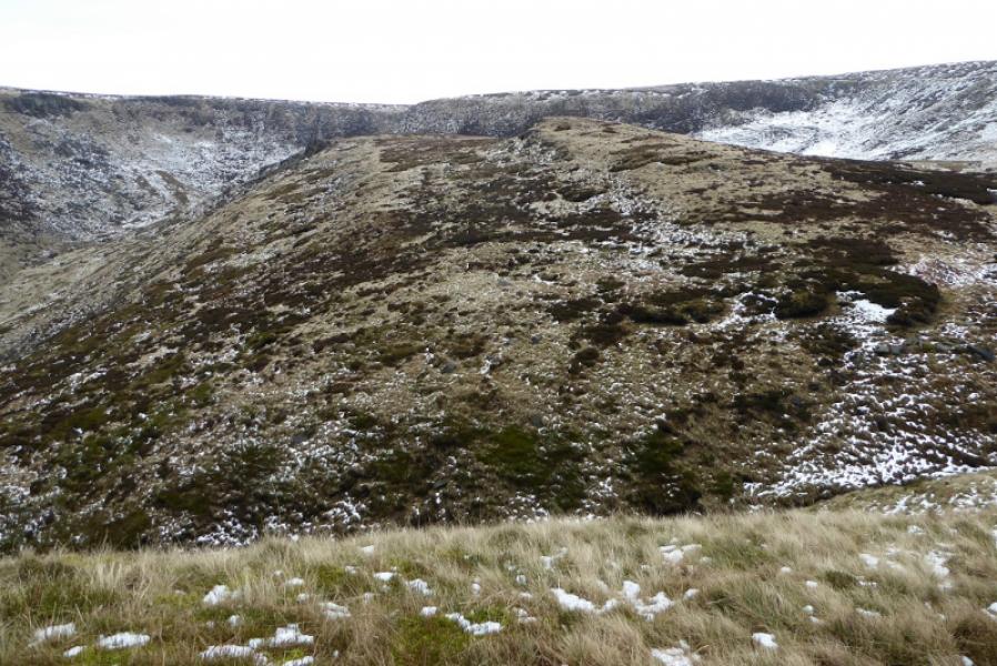
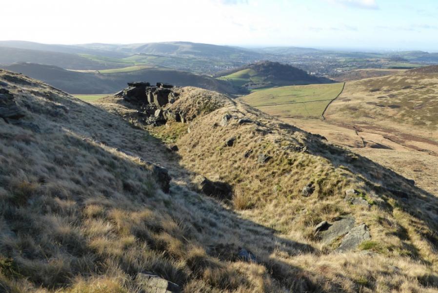
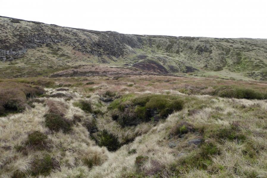
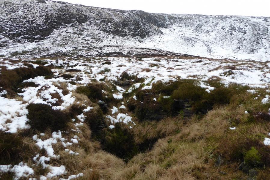
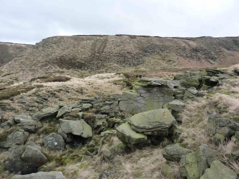
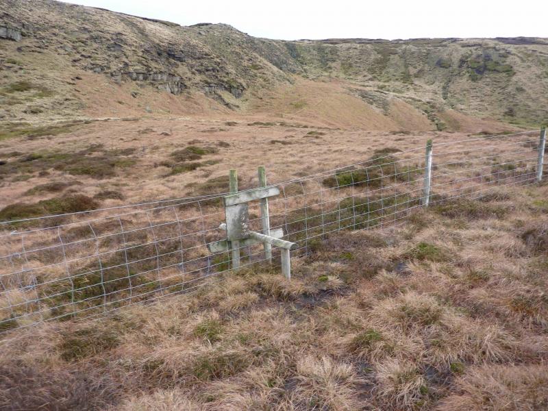
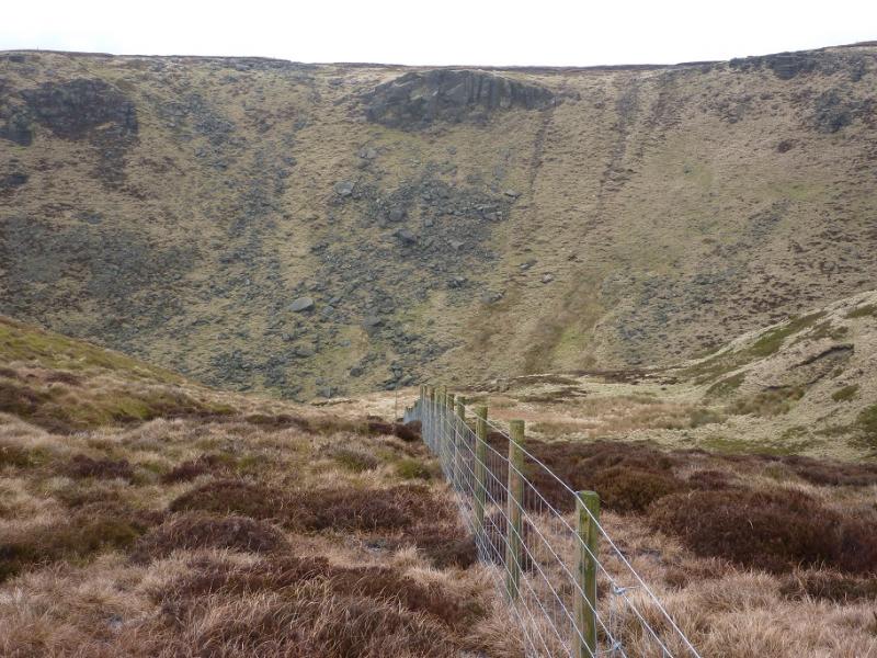
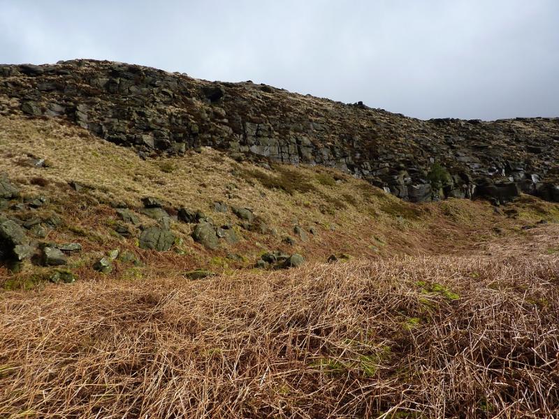
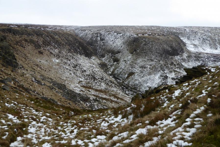
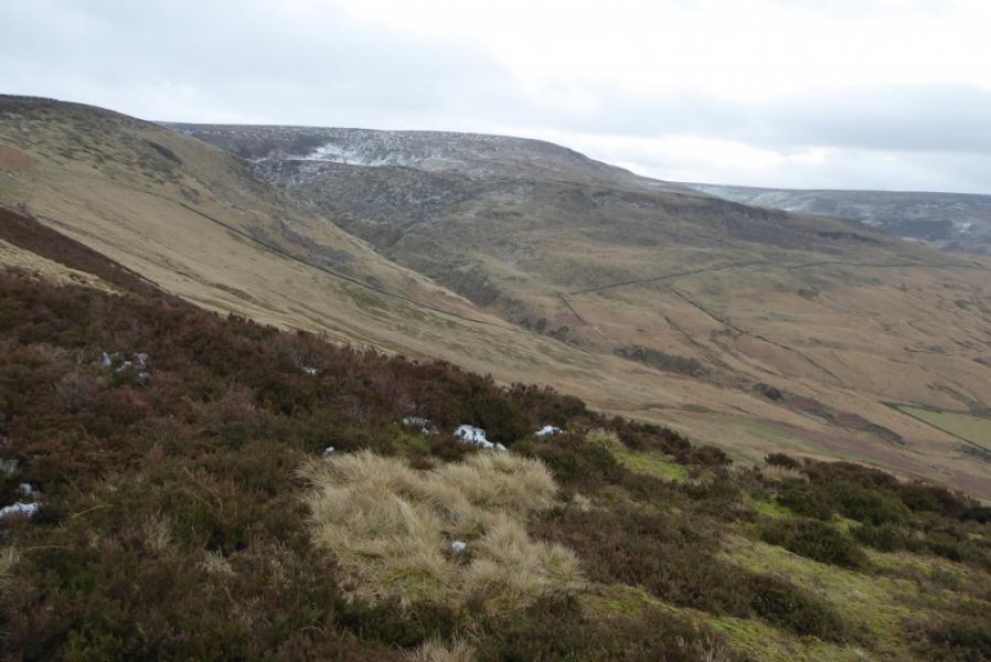
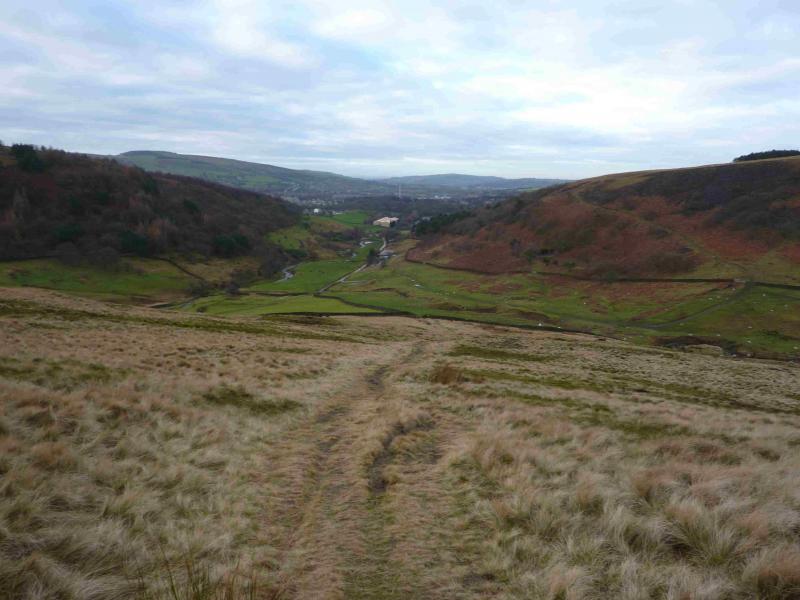
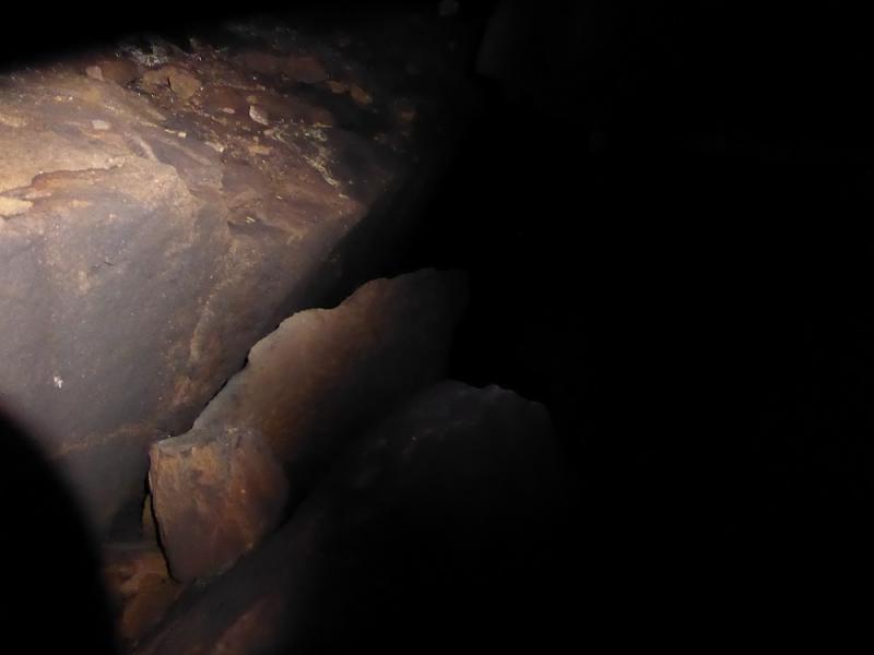
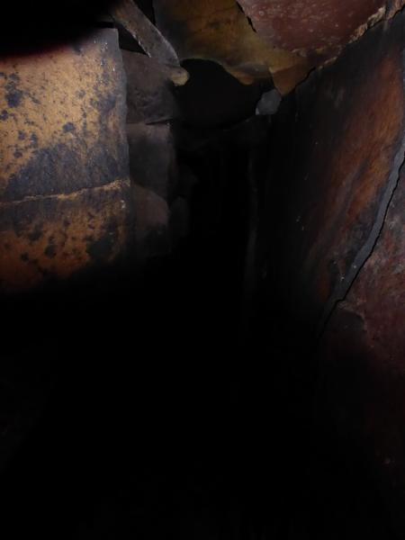
(1) Walk up the track alongside Shelf Brook which is the continuation of Shepley Street beyond the turning circle. After about 800 m and just after crossing the bottom of Small Clough (the bottom of Small Clough is named as Shittern Clough on 1 : 25 000 maps), there is a gate across the track with a small gate to the left. Do not take the path through the small gate as it leads up the Yellow Slacks ridge (this route is posted separately), instead stay on the main track. However, later on you will descend from the Yellowslacks ridge to this gate. Further on, a path goes right for Doctor's Gate but ignore that too and stay on the same track and soon pass a large stone building, in good condition. By now the Shelf Benches ridge should be obvious ahead and to the left. Reach a wall where the path/track goes ahead towards James's Thorn. Leave the track here going left to follow a path below the broken wall which soon passes through the wall. There is a choice of a lower path or a higher one which traverses below the crags of the Shelf Benches ridge. At the end of the crags is a wide rock tower the path goes to its right but there is also a fairly easy path on the left which goes up the tower. Behind the tower is a “trough”, ideal if one wishes some shelter from any wild weather. Continue in the same direction, crossing Wigan Clough with a slight detour to the right. Continue ahead on a faint path along the top of the ridge/plateau. About 100 m before the obvious fence, go left and look for some hollows in the grass. The first one is likely to be just a hollow but just after is Ferny Hole. If you reach some outcrops, you have gone too far. Be careful near the hole as it is not fenced off. It is possible to carefully descend into the hole from the shallow slope side but it can be slippery and soon becomes pitch black so a strong torch is needed. It is about 3 metres down then there is a short and quite narrow cave (2 people cannot pass each other) with a straightforward drop to step over to reach its end. At the end of the first section, a very awkward flake blocks further progress to a lower level. It seems more like an underground cleft than a proper cave. Unusually, the cave and hole are not fed by a stream on the surface but may be fed by one underground. By the way, this is not limestone country where one might expect such features; the rock is millstone grit as on many of the famous climbing edges in the Peak District. The outcrops, towards Yellowslacks Brook, roughly NW of Ferny Hole, are worth a look and another cave is reputed to be amongst them somewhere.
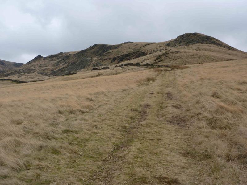
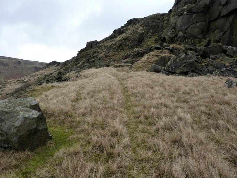
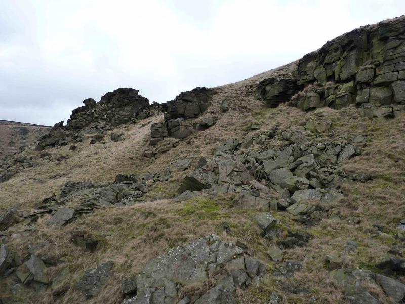
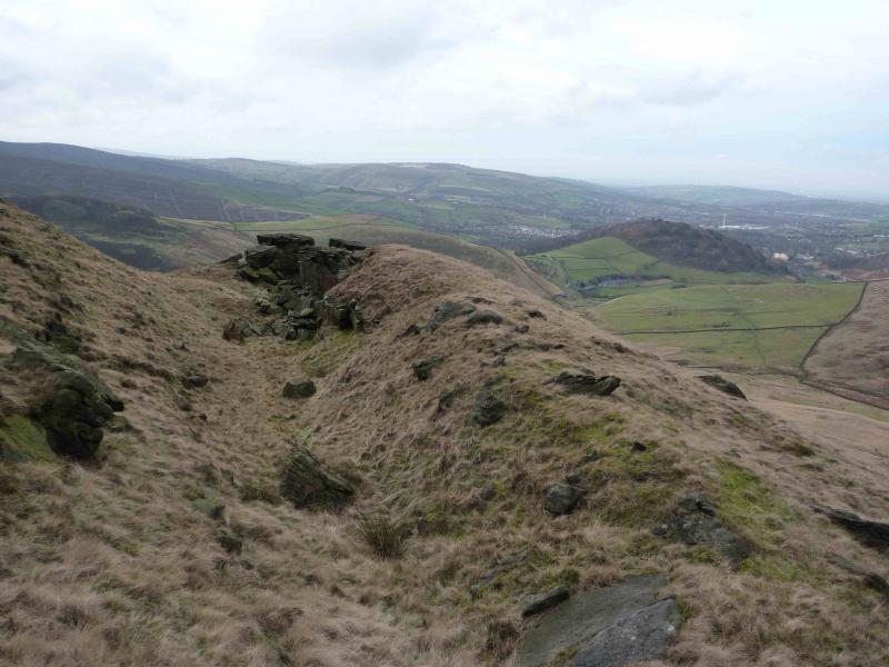
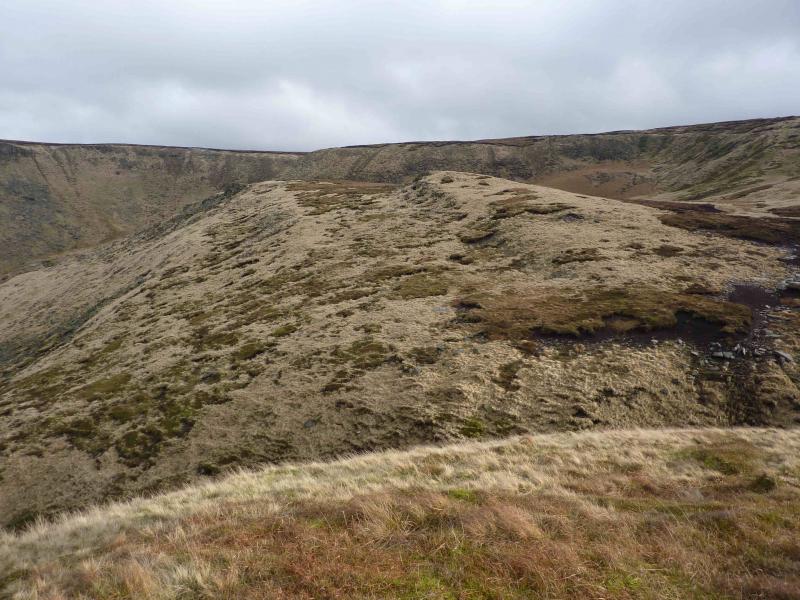
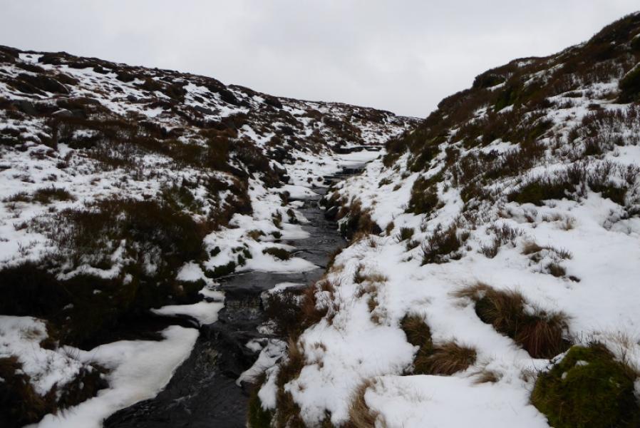
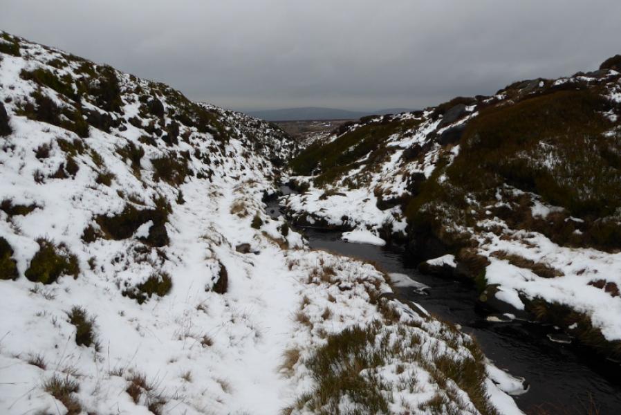
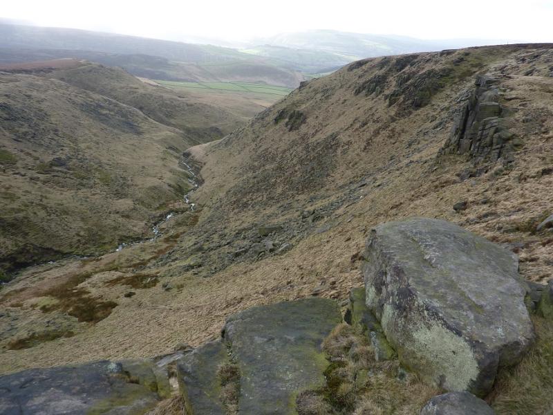
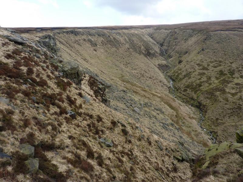
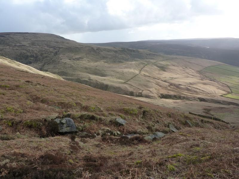
(2) Go back to the faint path and continue to the stile over the fence then continue to the steepening ground ahead, aiming for the grassy section between the two obvious crags. Carefully pick a way up to easier ground. If this looks too daunting often because of wind or snow then go further right below the crags to gain some height before cutting back on slightly easier ground than the direct ascent. Once the plateau is gained, either walk around the edge going left first or head NW straight across. The plateau is strangely named as “The Pike” yet has no peak on it! The going can be rough but there are some intermittent paths. It can be even harder going under snow. Reach the edge of the plateau overlooking Yellowslacks Brook (becomes Dowstone Clough higher up). Walk upstream as far as you wish then cross over the stream which is usually straightforward. Turn left (downstream) and follow the path roughly west. If the path splits, take the left option which stays closer to the edge. Pass over the tops of several crags including Dog Rock and continue on the easy to follow path which is long but eventually leads down to the main track at the gate passed much earlier. Turn right and soon reach the turning circle at Old Glossop.
Notes
(a) This walk took place on 14th February, 2020, and 18th May, 2020
Photos - Hover over photo for caption. Click on to enlarge. Click on again to reduce.