Get Lost Mountaineering
You are here: England » Pennine Way » 6. Bellingham to Kirk Yetholm
2. Highgreen Manor Road to Byrness via Pennine Way
2. Highgreen Manor Road to Byrness via Pennine Way
Start/Finish
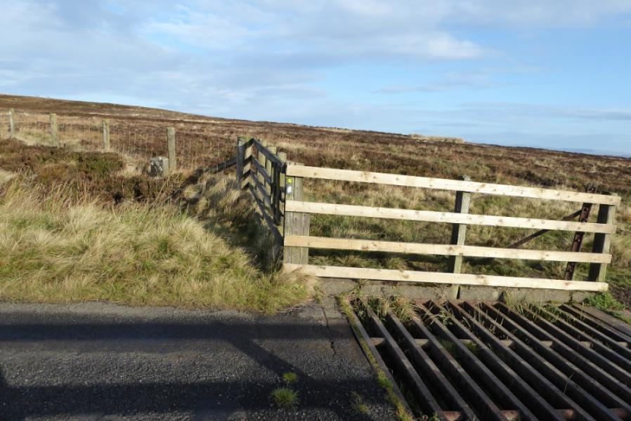
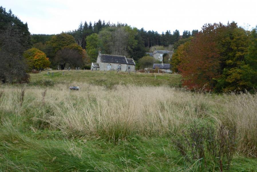
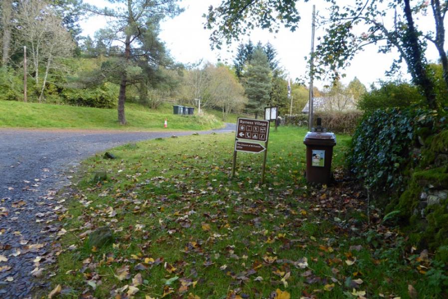
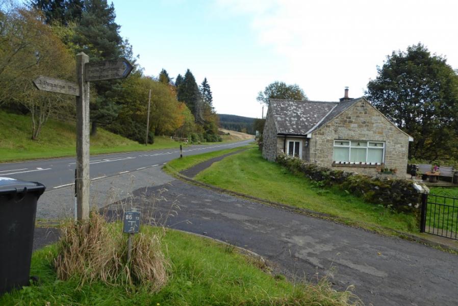
The start is where the Pennine Way crosses the Highgreen Manor Road at NT 824 917 by a cattle grid. There is very limited parking here. This spot is about 1 mile east of Highgreen Manor and about 2.5 miles west of the A68 at Dunns Houses. Many will not choose to finish here but rather continue on to Byrness. The finish is by the old church at Byrness on the A68. This is at the southern end of Byrness and it is about another 1 km to the main village which will have to be retraced to continue with the Pennine Way if staying overnight in Byrness.
Distance/Time
12 km About 4 - 5 hours
Peaks
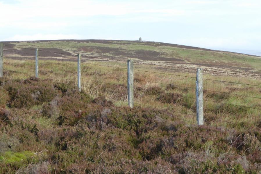
No actual summits are reached although the monument on Padon Hill, 379 m, NT 820 928, could be visited as it lies close to the Pennine Way.
OS 80: Cheviot Hills & Kielder Water. OL 42: Kielder Water & Forest
Introduction
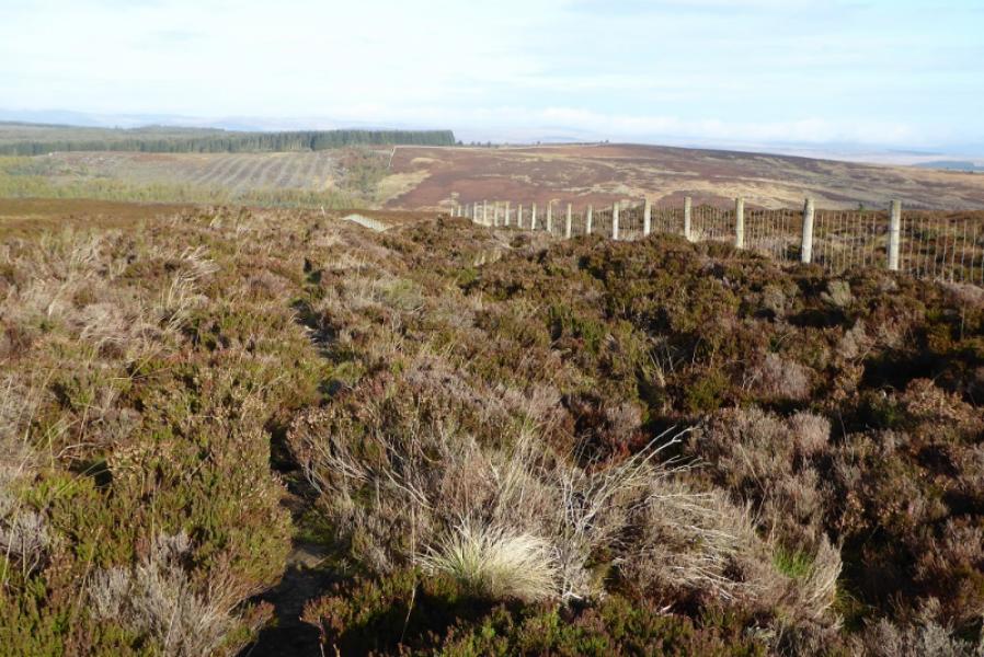
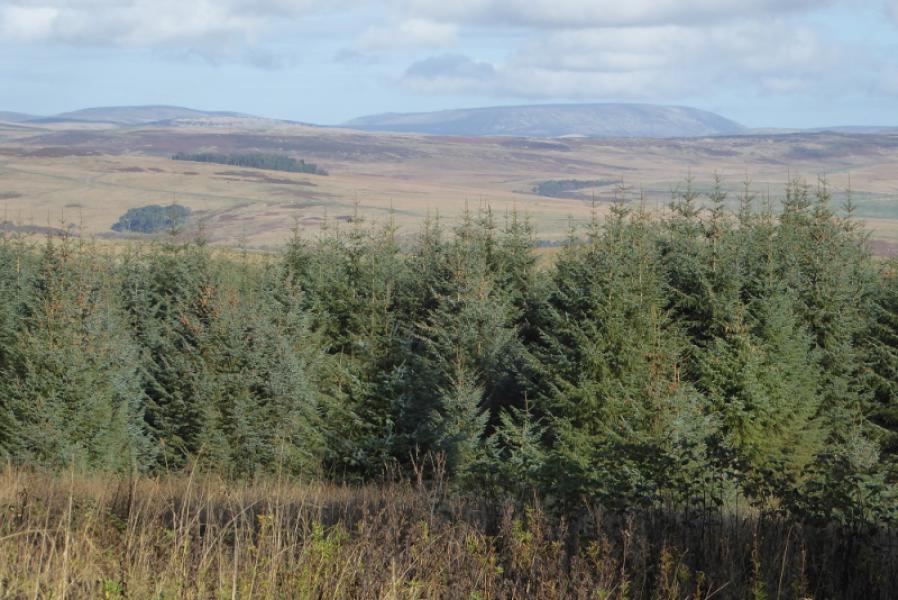
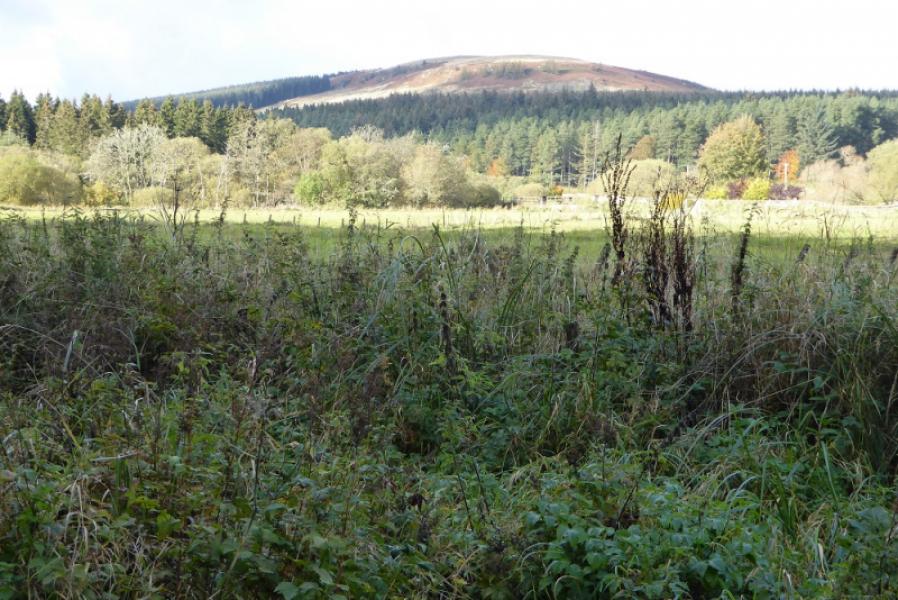
This used to be a very boggy section but a new path has made it less unpleasant than the section from Bellingham to the Highgreen Manor road. Extensive tree felling has also opened up the views. In clear weather both Windy Gyle and The Cheviot can be well seen from the main forestry track.
Route
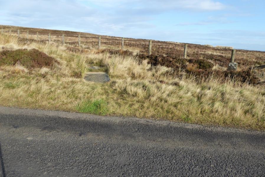
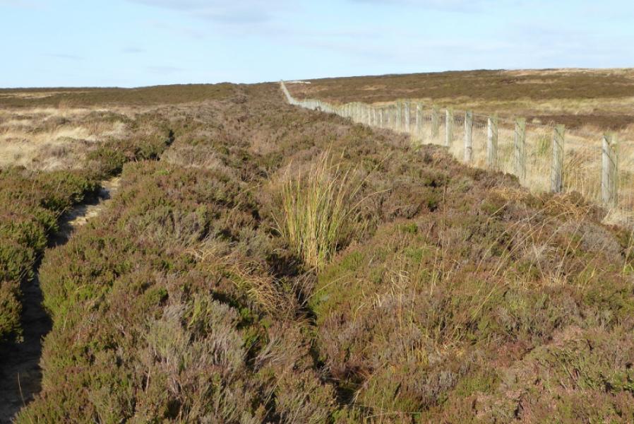
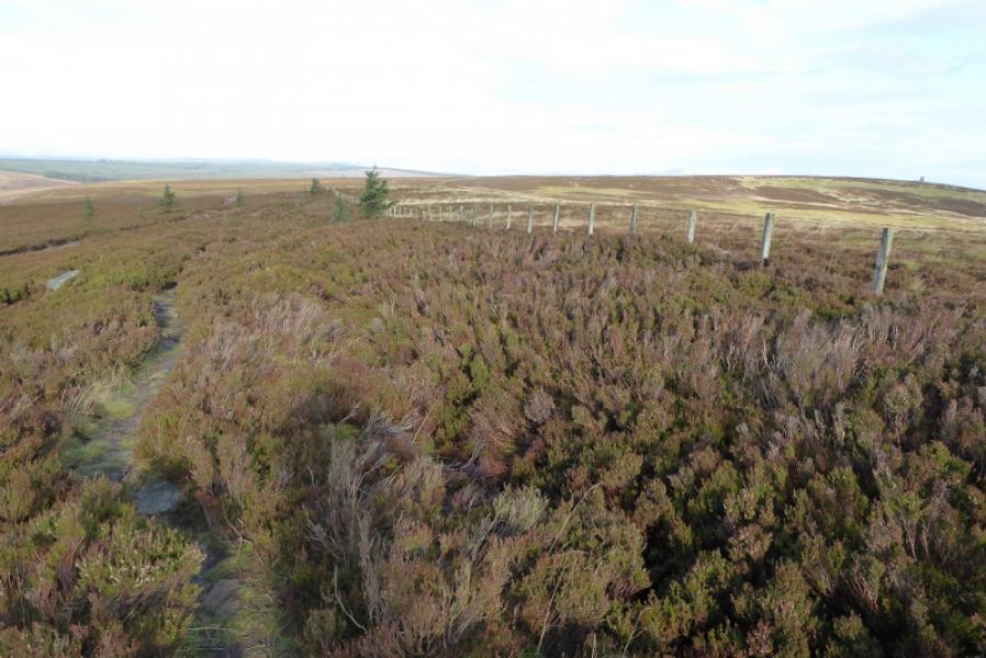
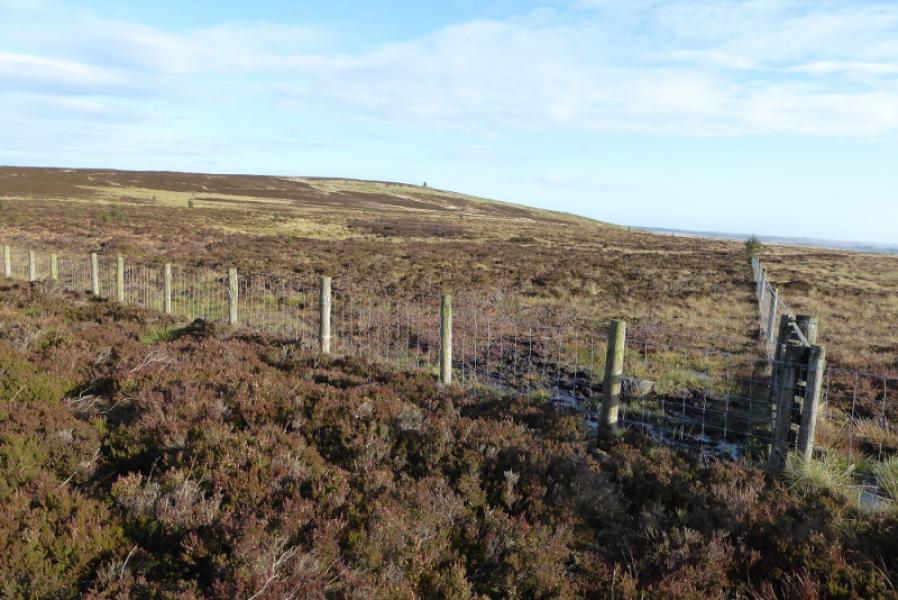
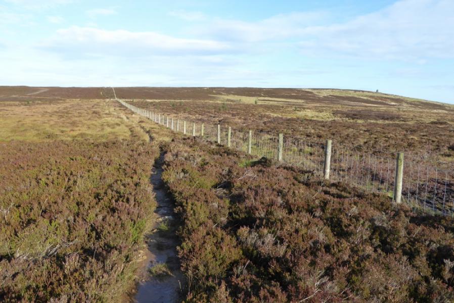
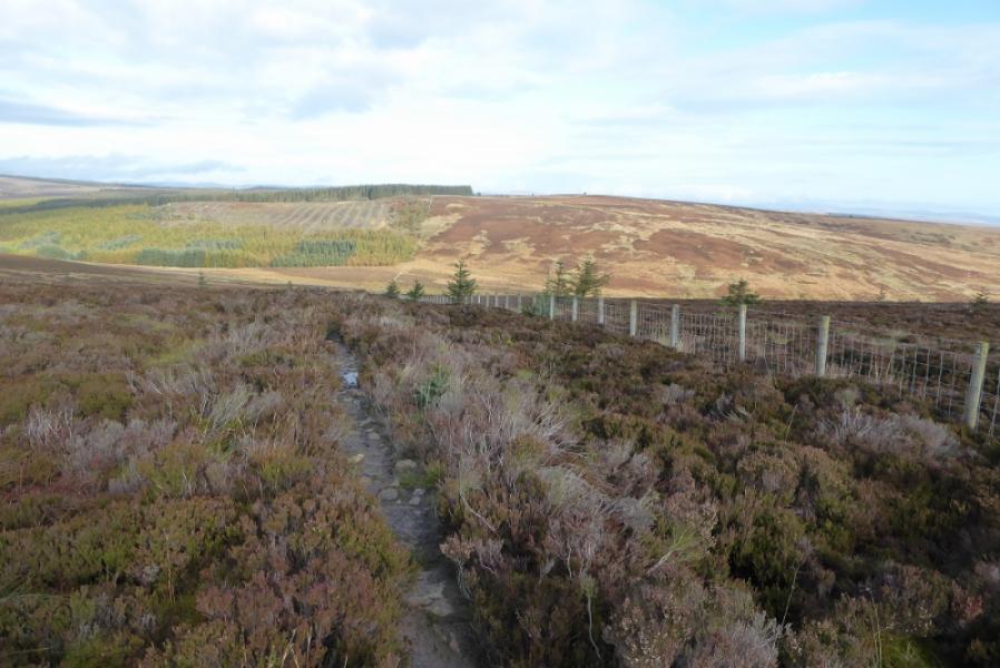
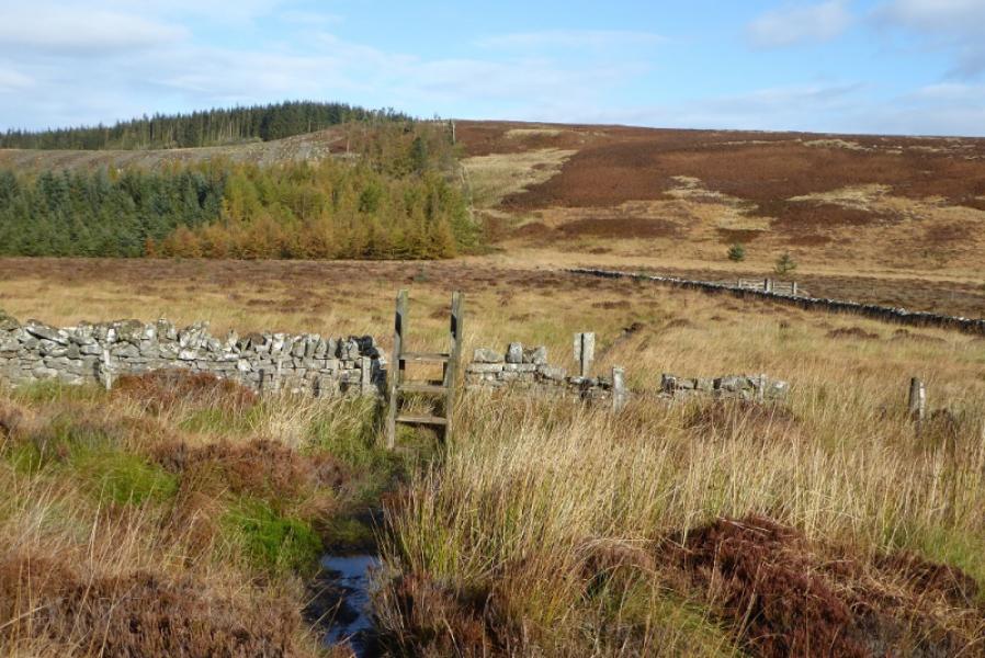
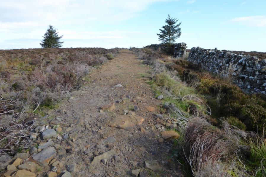
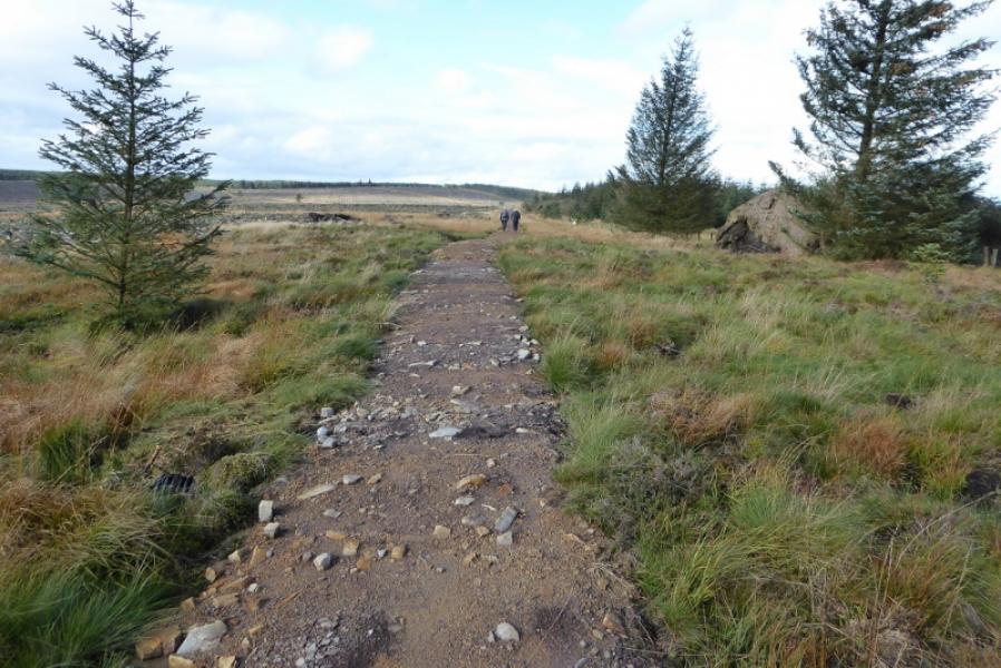
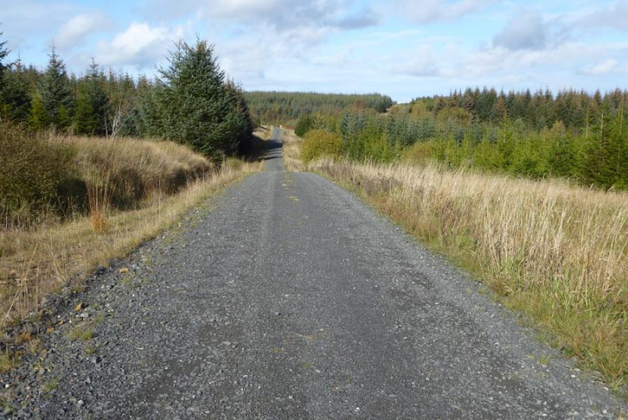
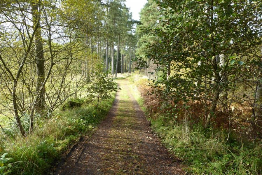
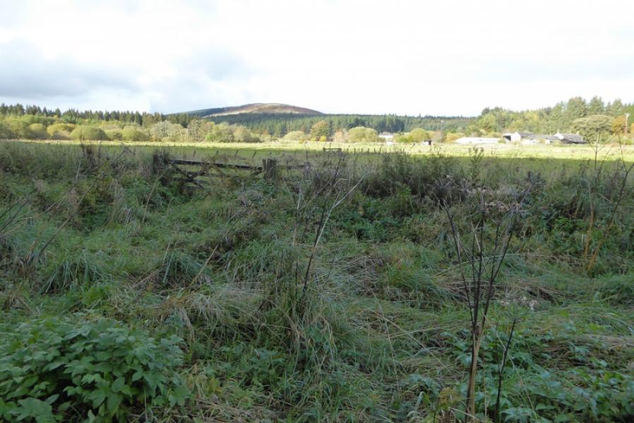
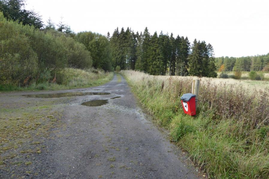
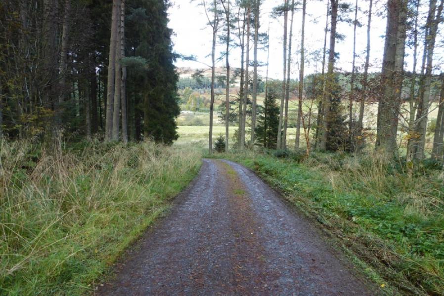
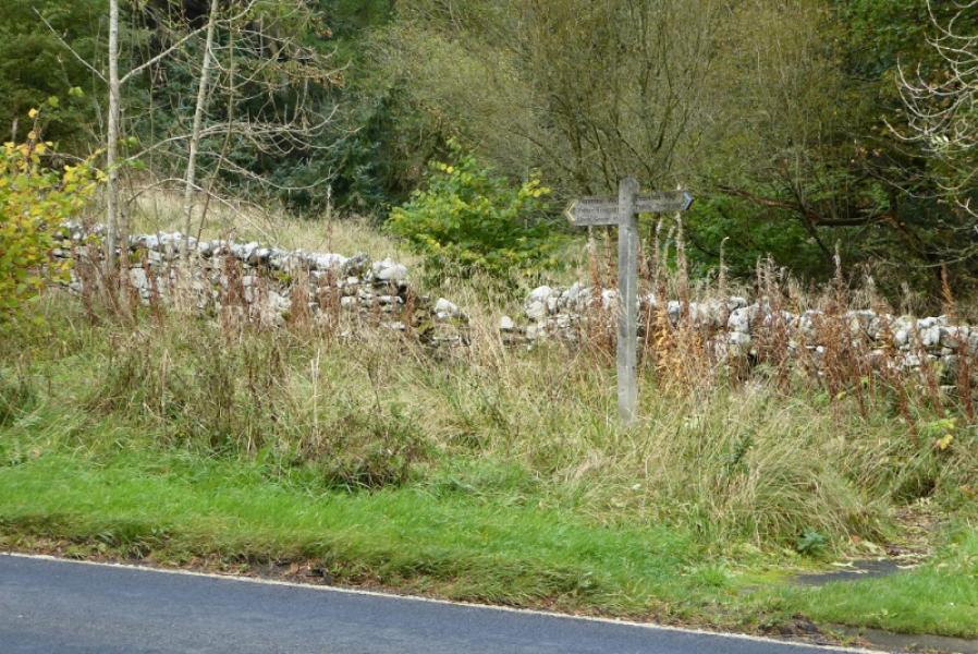
(1) From the cattle grid on the Highgreen Manor Road, follow the signpost for the Pennine Way which starts as a slabbed path, following a fence, just to the W of the cattle grid. The slabs very quickly end leaving a narrow path through the heather. At the highest point, there is a gate on the right which seems to be the only sensible route to the monument for those wishing to visit it. The heather gives way to grass which is wetter so there are occasional short sections of slabs. There is then another section of heather and the path descends down to a fairly wet dip. Continue on the path to reach the edge of the forest. Ascend up the edge of the forest. The path isn't too wet but encroaching trees create moments of awkwardness and the path is steep in places. Reach a stile at the top of the ascent, after which there is a new and wide path which is very easy to walk. Follow the path for over 2 km. It is stony in places but still a good path. The forestry it used to pass through has now been felled. Reach the main forestry track where there is a signpost saying how far Bellingham is but no indication for going north towards Byrness!
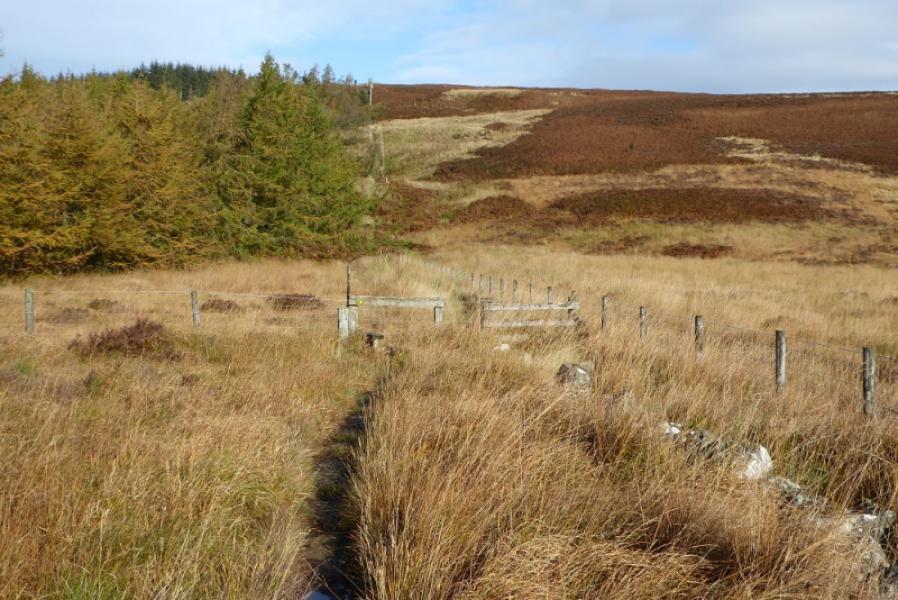
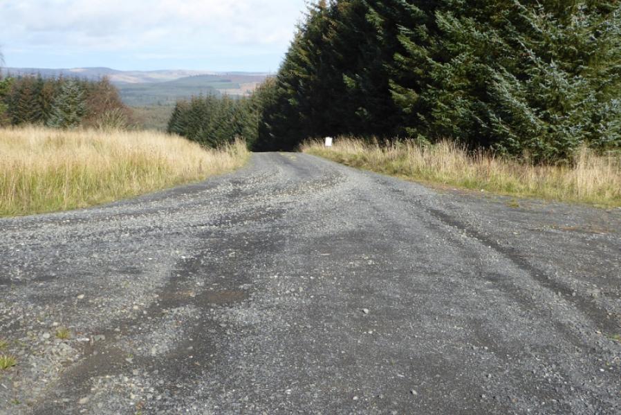
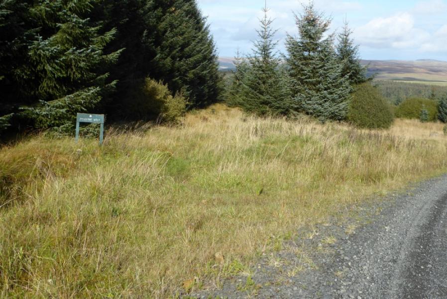
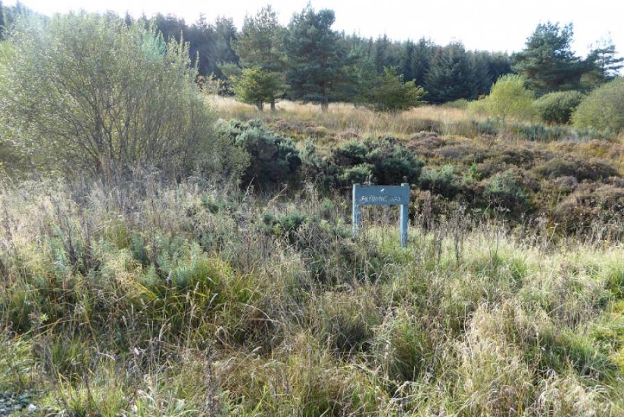
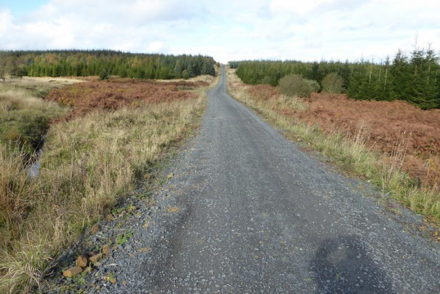
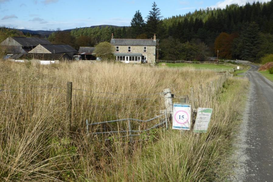
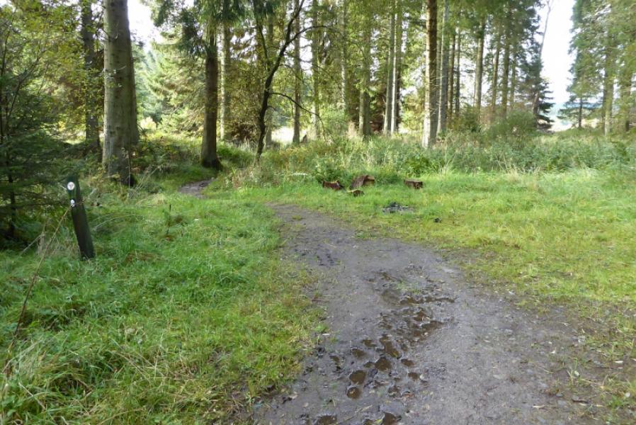
(2) Turn right onto the main forestry track. Follow it for about 1 km, passing two side tracks on the left to reach what is probably the most stupid section of the whole Pennine Way. A sign indicates that the track should be left to follow a path on the left. This path is horribly overgrown with grass and tall ferns. In places it is hard to see the ground. The path shadows the track and is never far from it. After about 600 m of purgatory, the path becomes very faint so best to rejoin the track. There is actually a sign where the path is supposed to rejoin the track but no path near it! Once back on the main track, follow it, with two noticeable climbs for about another 3 km to pass a farm, seen from well back, which is just before the bridge to the Forest Drive car park and toilets.
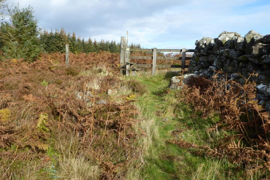
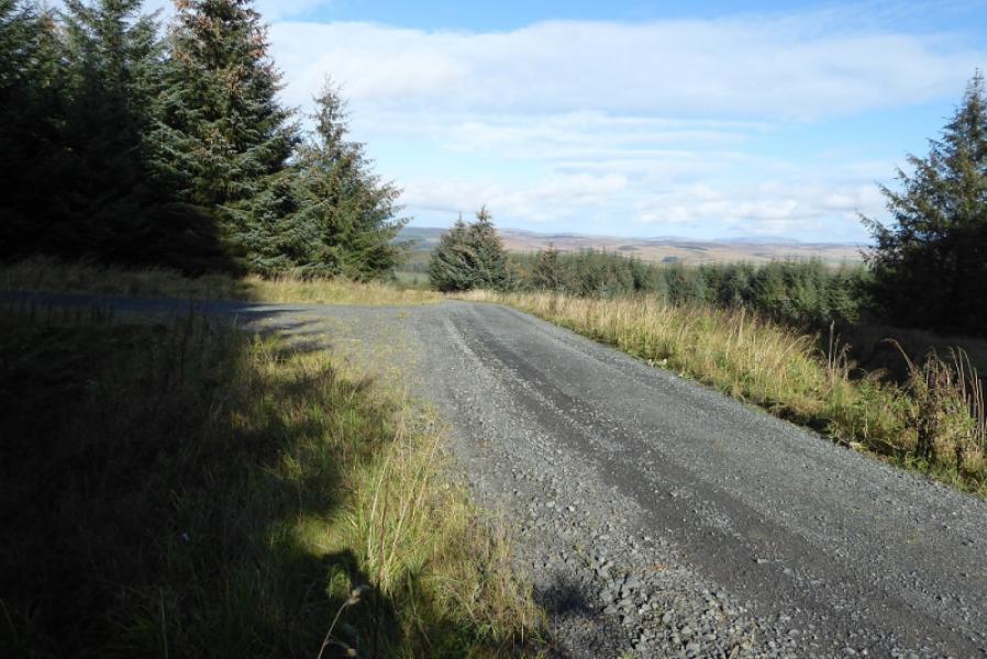
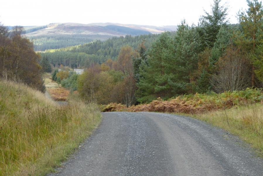
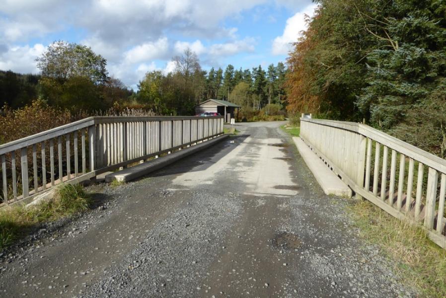
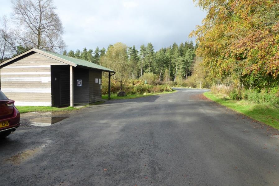
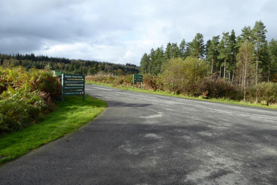
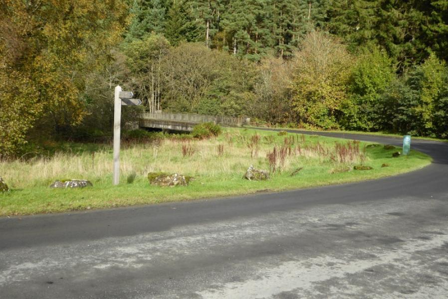
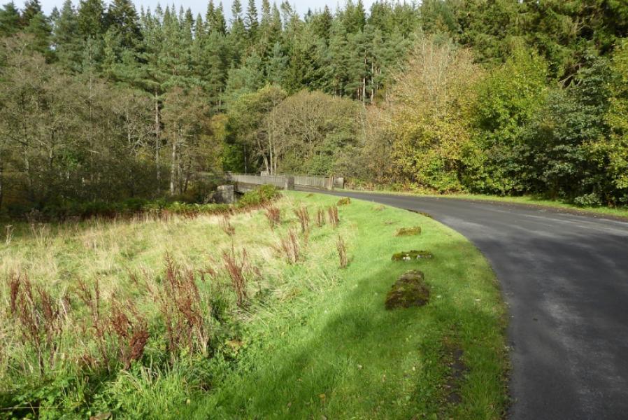
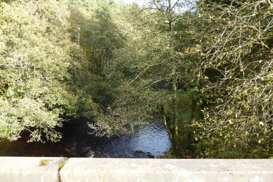
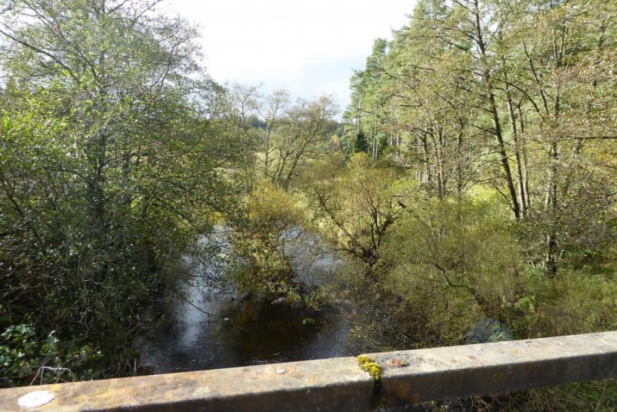
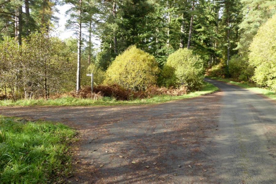
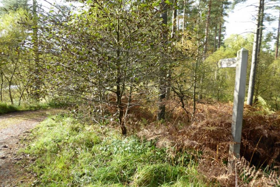
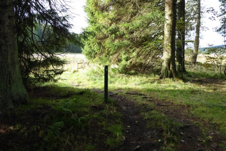
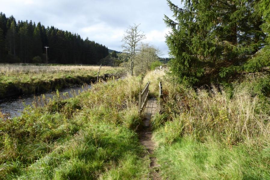
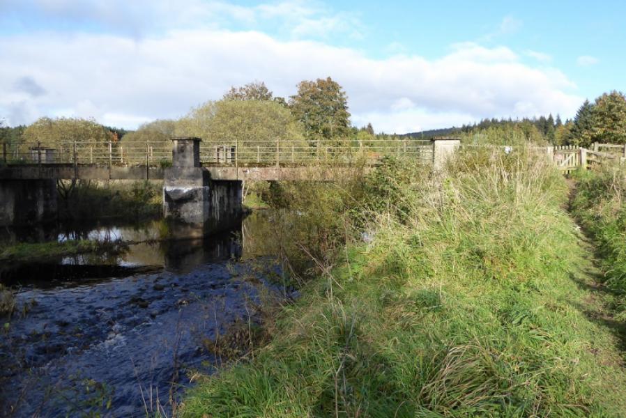
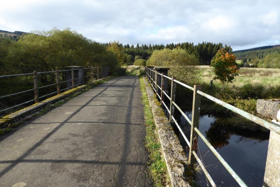
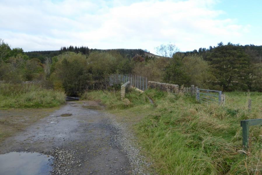
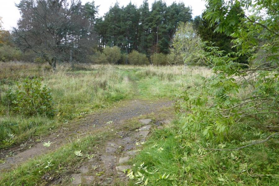
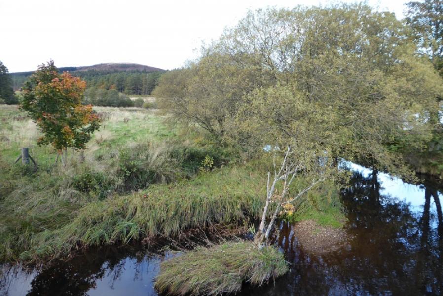
(3) From the Forest Drive car park and toilet block, continue to the tarmac Forest Drive. Turn right, signpost, follow the road across the bridge over the River Rede then turn left, signpost, almost immediately afterwards, Follow the obvious track which gradually turns into a path. The river is followed to begin with then not seen again until exiting the first section of forest. Continue following the river to reach a track just before a caravan site. Turn left, no sign, and cross the large bridge. Follow the obvious track for about 1 km until a small sign indicates a right turn onto another track which descends for a while. In clear weather, the obvious Byrness Hill will be visible and a good guide although it is actually on the next section after Byrness. Follow the track to the River Rede where there is now a footbridge to avoid crossing the ford. Once across, follow the path then cross the first track to reach a second track which is the actual Pennine Way. In the rough field between the two tracks is a revolving box like sign which describes the night sky during the four seasons. This part of Northumberland is renowned for its dark skies and lack of light pollution. The track heads towards the old church and soon reaches the A68. There are plenty of signs here. If continuing, turn left onto the A68 and follow it for about 100 m before crossing over to pick up the Pennine Way again. The main village of Byrness is about 1 km further up the road.
Notes
(a) This walk took place on 17th October, 2019.
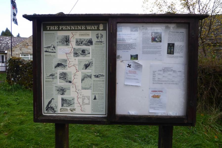
Photos - Hover over photo for caption. Click on to enlarge. Click on again to reduce.