Get Lost Mountaineering
You are here: England » Pennine Way » 6. Bellingham to Kirk Yetholm
1. Bellingham to Highgreen Manor Road via Pennine Way
1. Bellingham to Highgreen Manor Road via Pennine Way
Start/Finish
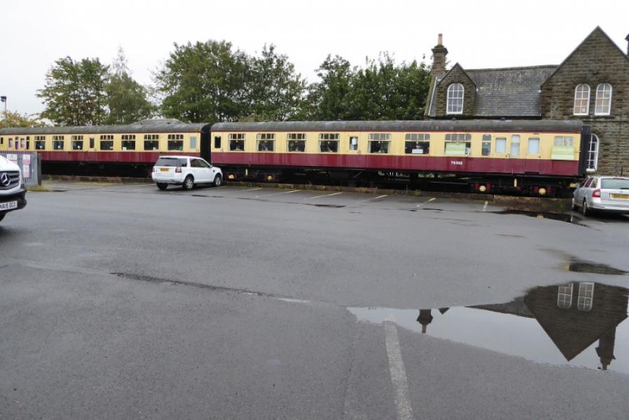
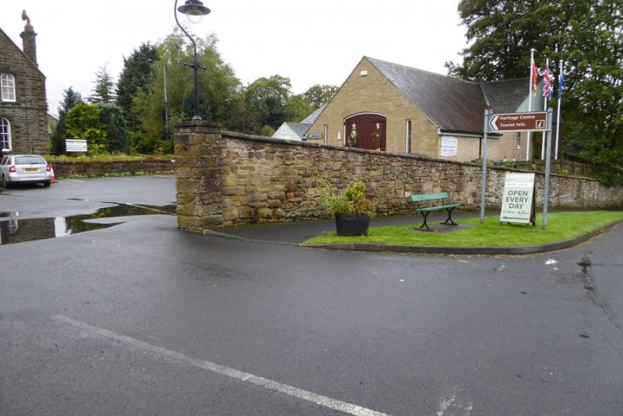
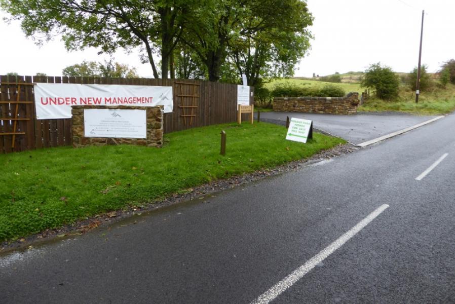
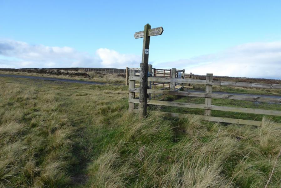
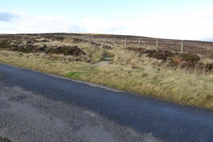
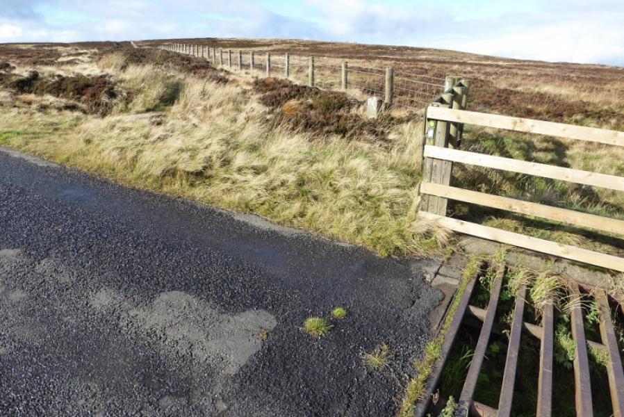
Bellingham Heritage Centre or anywhere else, such as YHA, in Bellingham. The heritage centre is on the road from the village centre towards West Woodburn and the YHA is passed on the way. The finish is where the Pennine Way crosses the Highgreen Manor Road at NT 824 917 by a cattle grid. There is very limited parking here. This spot is about 1 mile east of Highgreen Manor and about 2.5 miles west of the A68 at Dunns Houses. Many will not choose to finish here but rather continue on to Byrness.
Distance/Time
10 km About 3 - 4 hours
Peaks
Whitley Pike, 356 m, NT 830 912.
Other hills in this section are traversed
OS 80: Cheviot Hills & Kielder Water. OL 42: Kielder Water & Forest
Introduction
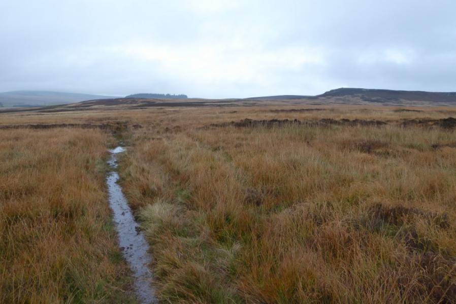
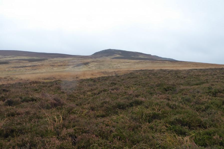
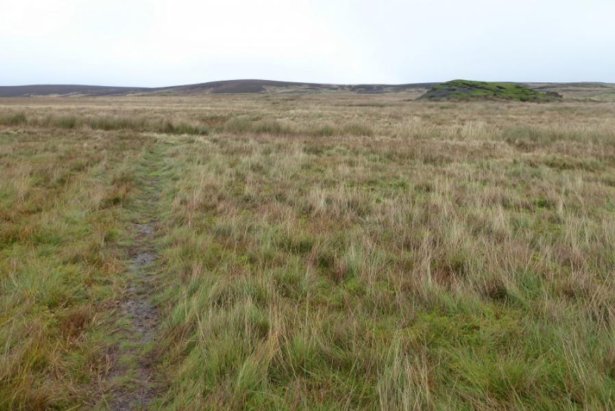
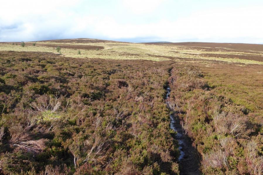
This is a fairly rough, wet and boggy section but relatively easy to follow although progress will be slow. There are few good views as this is one of the least scenic parts of the Pennine Way.
Route
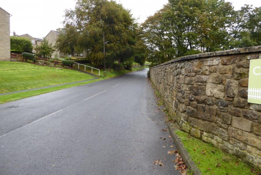
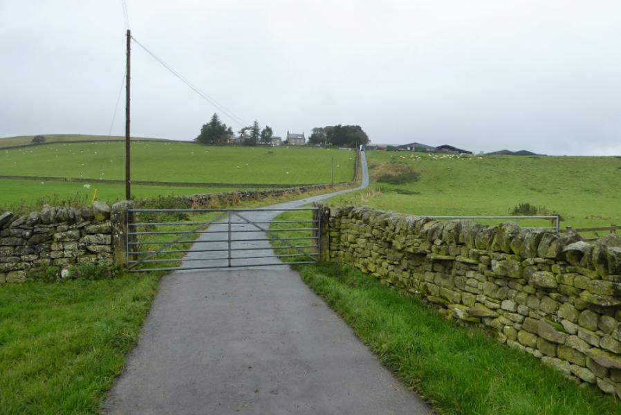
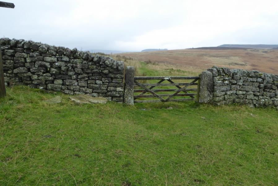
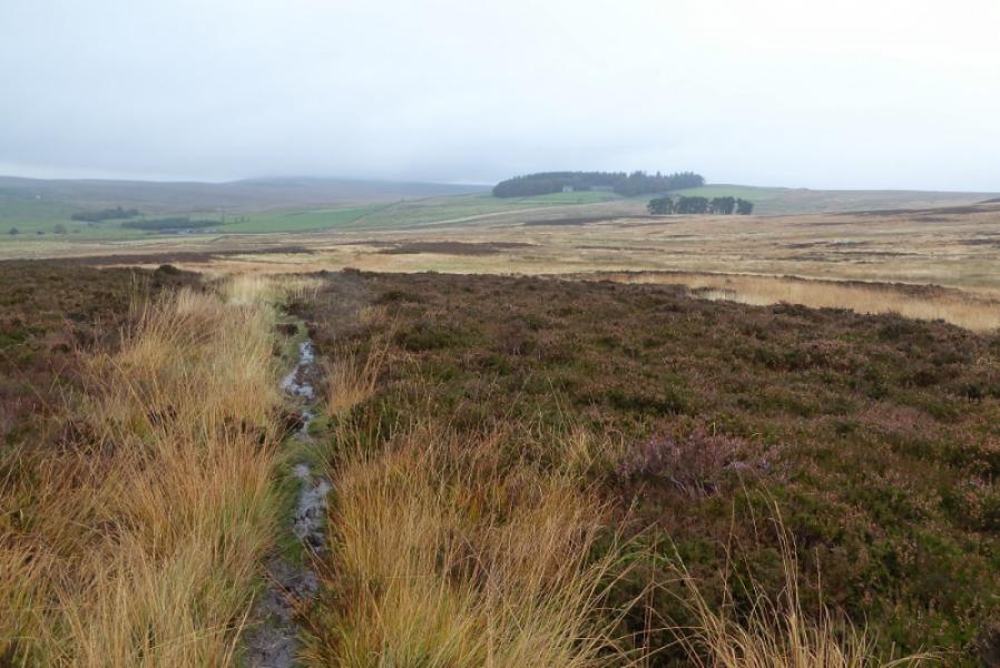
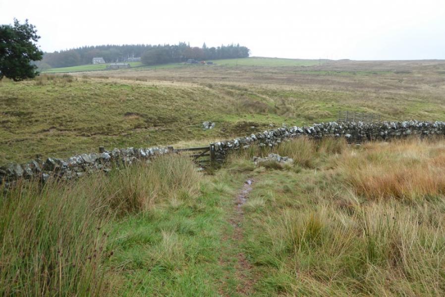
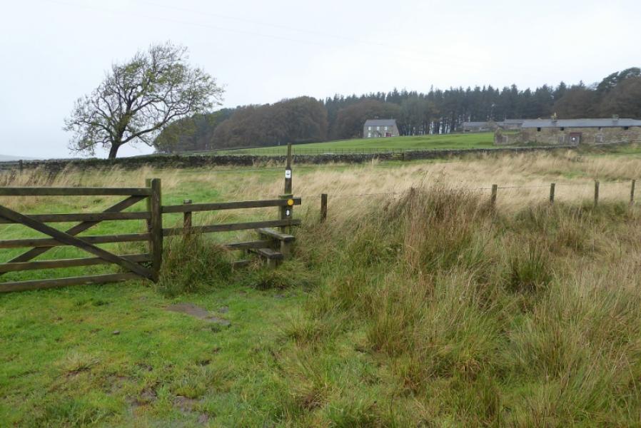
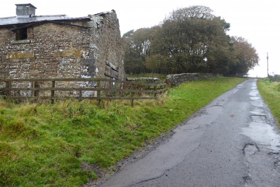
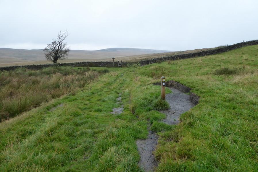
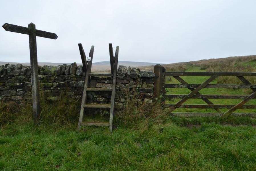
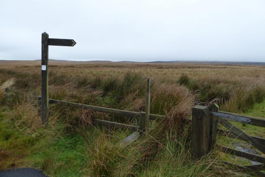
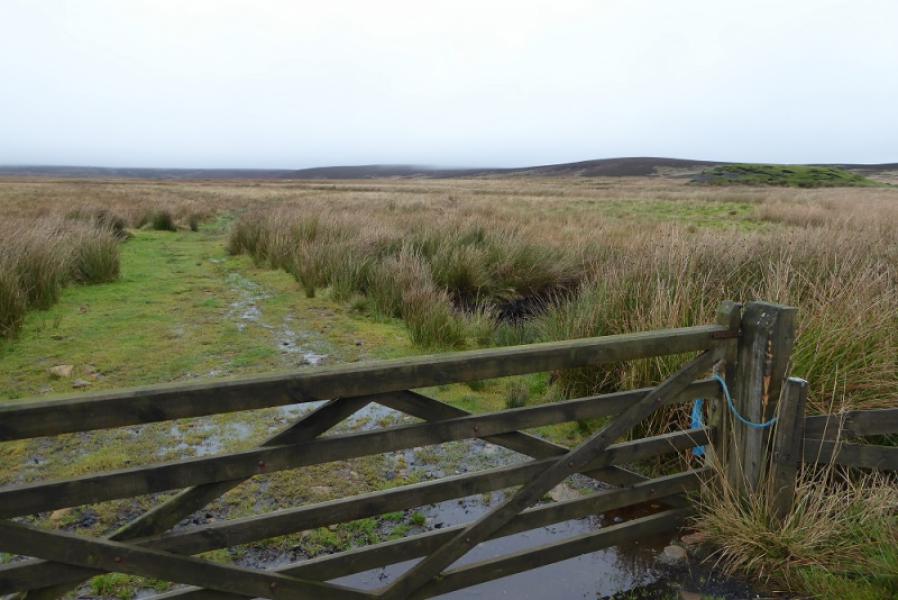
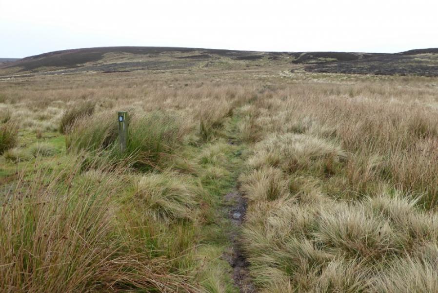
(1) From Bellingham Heritage Centre, continue uphill, steeply at times, on the road towards West Woodburn. Pass a holiday site then the end of the 30 mph limits. Soon after, reach a right hand bend where the road starts to level off. A tarmac track goes off left at this corner towards Blakelaw and there is a signpost indicating the Pennine Way. Follow the track, roughly N, and ascend to Blacklaw to reach a barn. Go left here and walk past the house at Blacklaw then follow the obvious rough track after the house to reach the exit gate from Blacklaw where there is a sign post directing you diagonally across a sloping field to reach another signpost. Marker posts indicate the way ahead, passing to the right of a small wood to reach a stone wall. Continue ahead, as signed, on a path which rougher and wetter as one heads towards Hareshaw and the large wood behind it. There is a particularly wet section of tall downtrodden grass. Eventually reach a stone wall by a small wood then a bridge over a stream. Cross the bridge and continue ahead on some fairly wet ground to reach the access road to Hareshaw. Turn right. Go past the old barn then go left over the stile. Walk across the field in front of the house to reach another stile then pass below the wood. Reach a further stile after which there is a short section of very boggy track straight ahead. When the track improves, walk easily to reach the B6320 Bellingham to Otterburn Road.
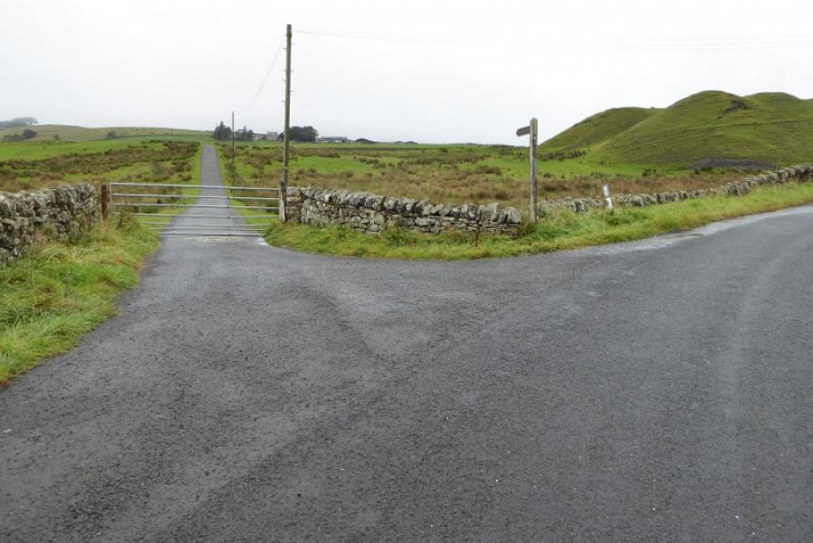
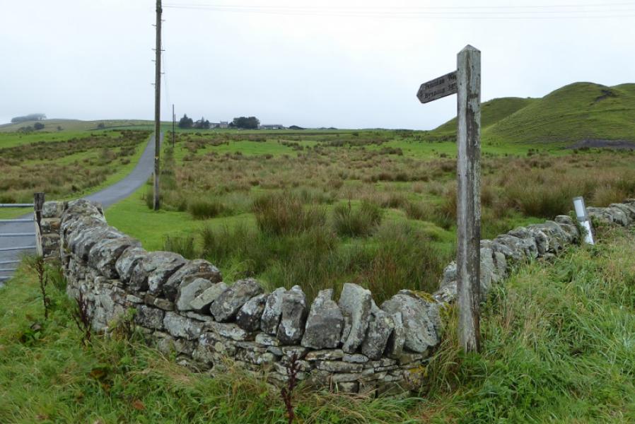
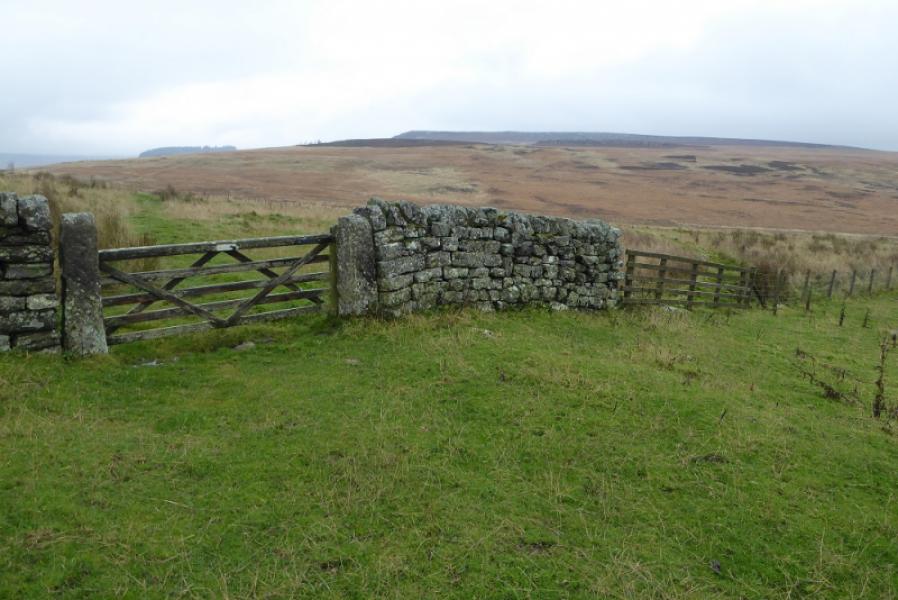
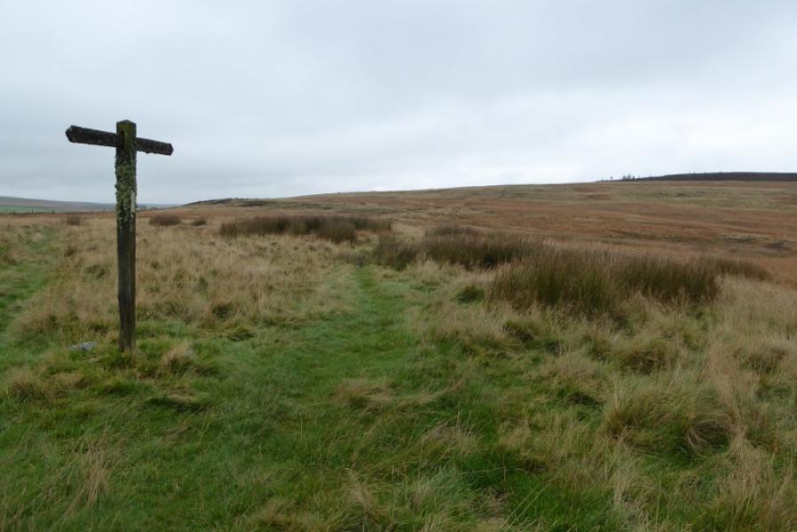
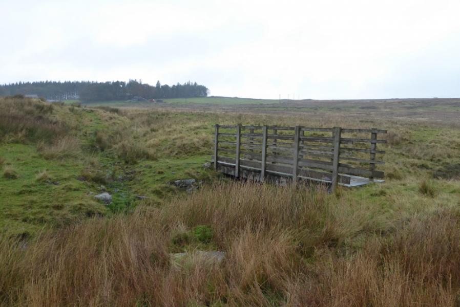
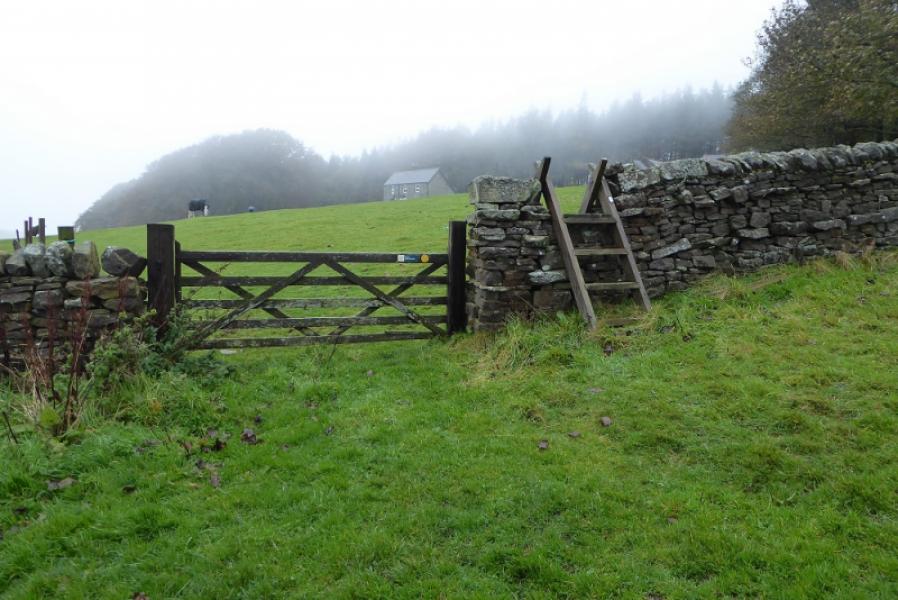
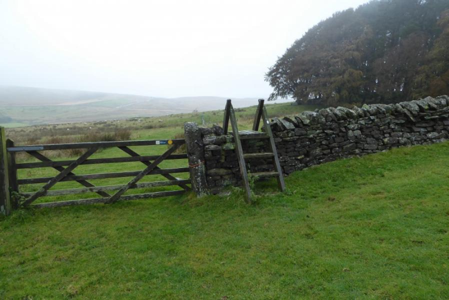
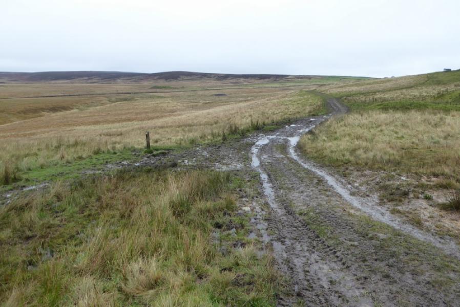
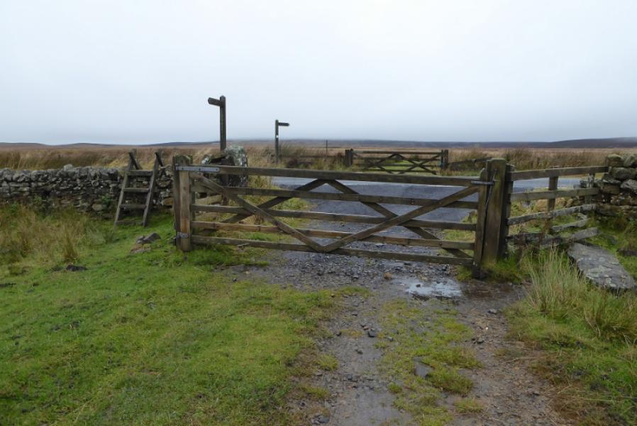
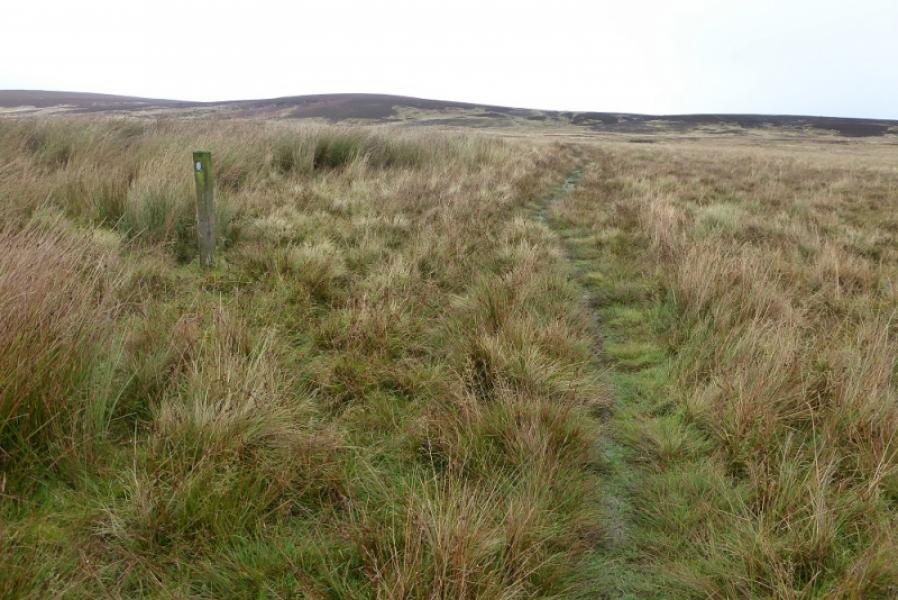
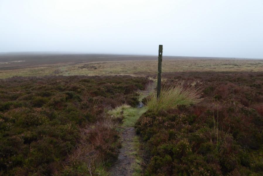
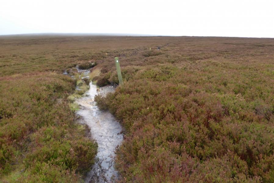
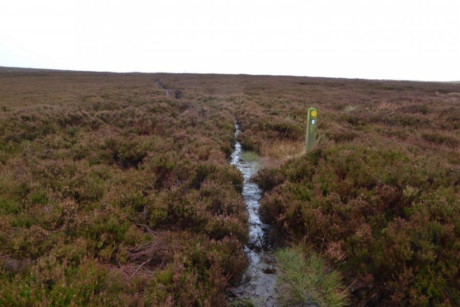
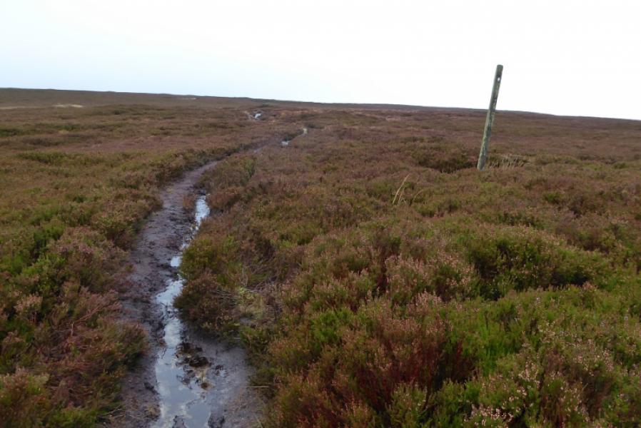
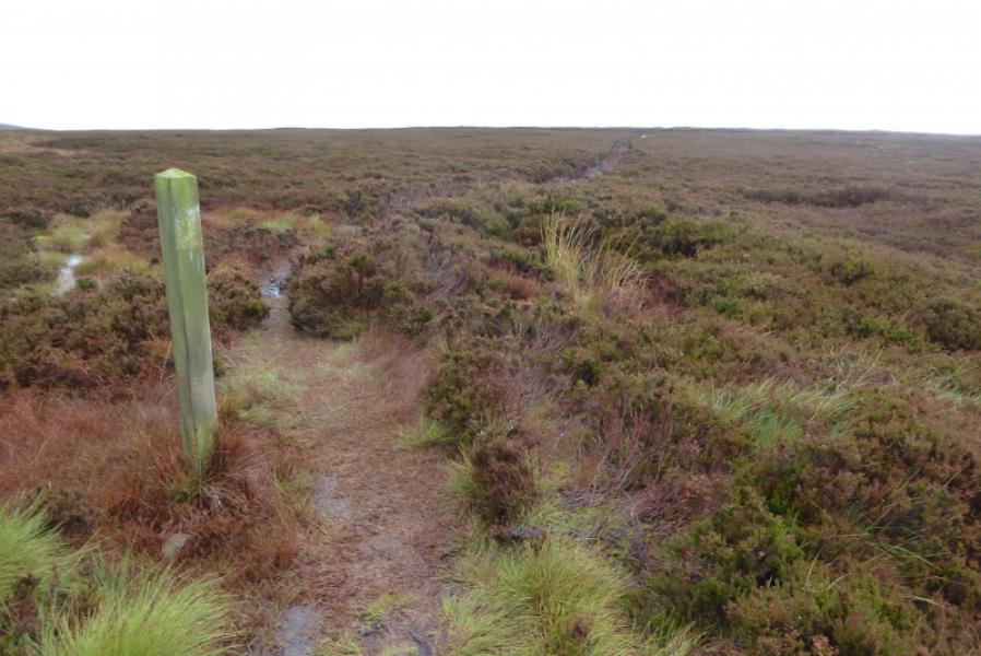
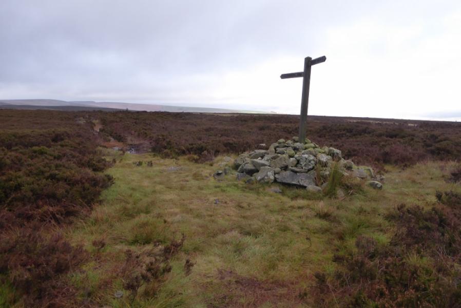
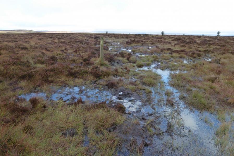
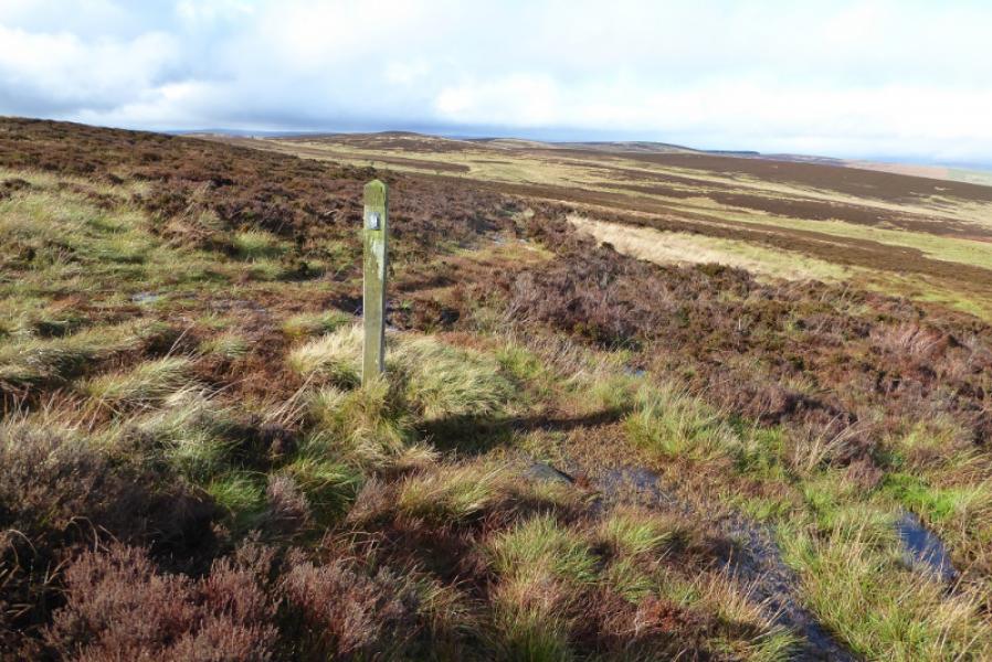
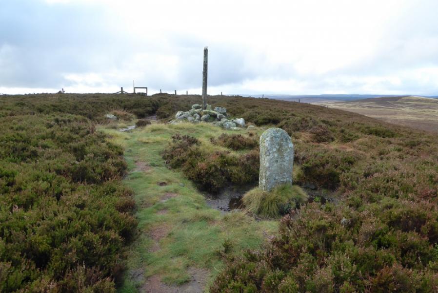
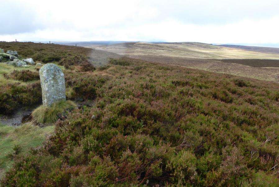
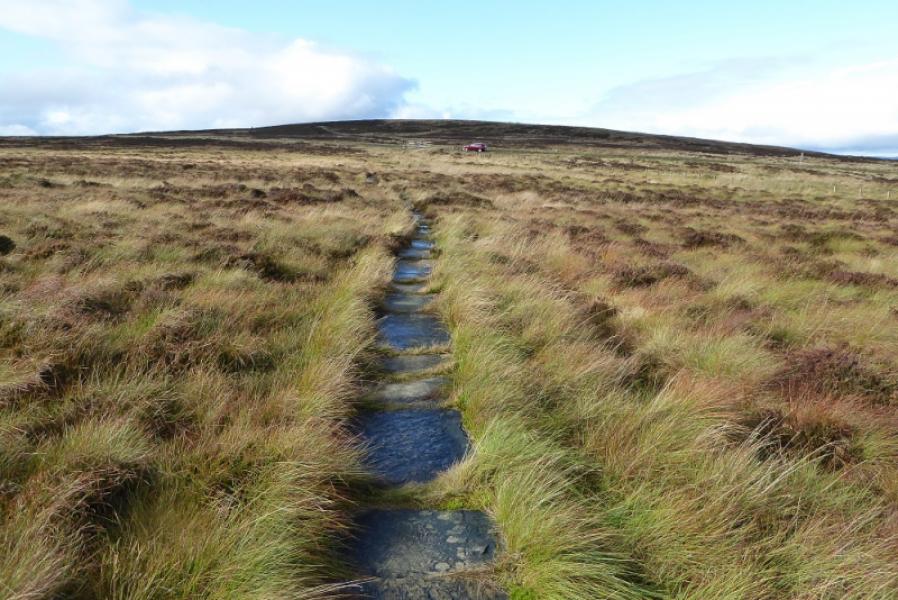
(2) Cross over and follow the obvious path which soon curves around to correspond to the direction indicated by the signpost at the road. The path becomes wet, rough and boggy in places as it gains height to converge with the Lough Shaw ridge. It is hard going in places but the path is reasonably obvious and there are quite a few marker posts. Eventually reach a sign post in a cairn which is the only place for miles where one can sit down! Continue, with the path getting even worse in places, to finally reach the top of Whitley Pike, 356 m, where there is a cairn, signpost and stone marker post. Note that some maps have Whitley Pike as Lord's Shaw. Go right, after the stile and start descending towards the Highgreen Manor Road. Lower down, the path is slabbed but take care as these are very slippery. Eventually reach the road by the cattle grid.
(3) If continuing to Byrness, cross the Highgreen Manor road and follow the slabbed path just to the W of the cattle grid.
Notes
(a) This walk took place on 16th October, 2019.
(b) It would be possible to split this walk into two halves of about 6 km and 4 km as it crosses the B6320 road between Bellingham and Otterburn.
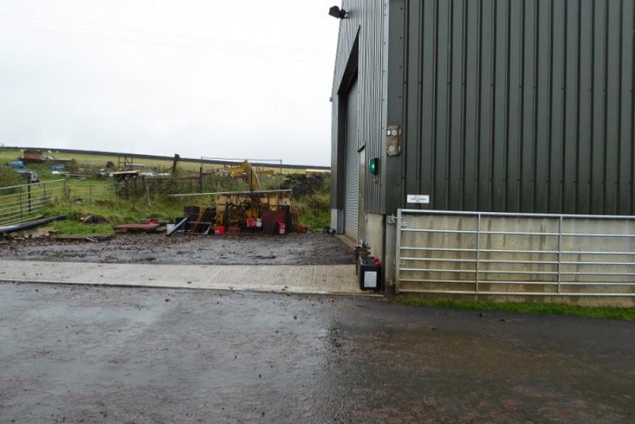
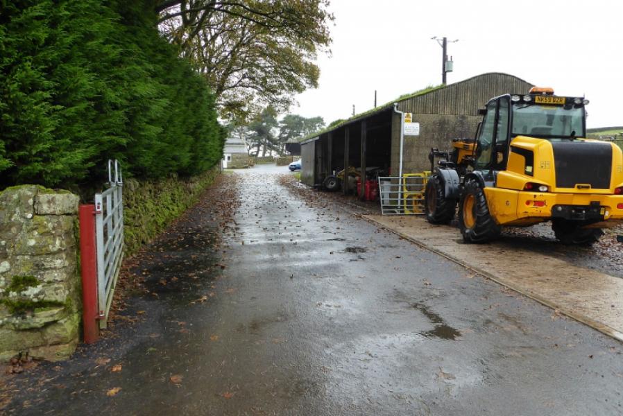
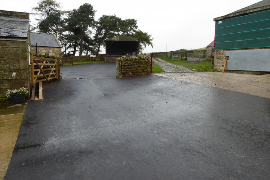
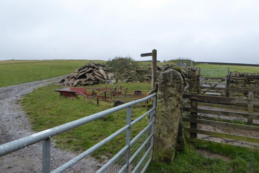
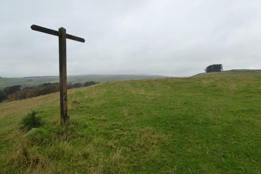
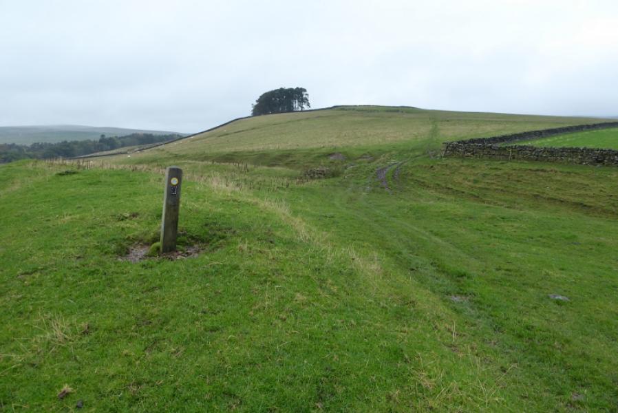
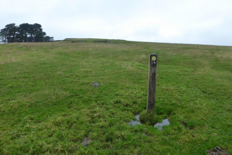
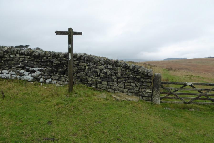
Photos - Hover over photo for caption. Click on to enlarge. Click on again to reduce.