Get Lost Mountaineering
You are here: England » Pennine Way » 5. Dufton to Bellingham
7. Ladyhill Farm Falconry to Bellingham
7. Ladyhill Farm Falconry to Bellingham
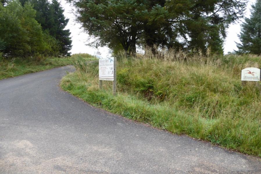
Start/Finish
Ward Lane, very close to the entrance to Ladyhill Farm Falconry, NE48 3EE. Sat Nav is not very good at finding the Falconry and tends to take one there by a rather circuitous route. The simplest way to drive to the start is to take the B6320 from Chollerford to Bellingham. Turn off at Townhead where a minor road is signed, going west, to Whygate. Follow this mainly straight road to the Falconry. The finish is at the Heritage Centre in Bellingham or elsewhere if in the village if accommodation is booked. The Heritage Centre is slightly out of the village centre on the road towards West Woodburn. Many will start at Housesteads, or even The Sill YHA, and continue all the way to Bellingham.
Distance/Time
13 km. About 4 - 5 hours.
Peaks
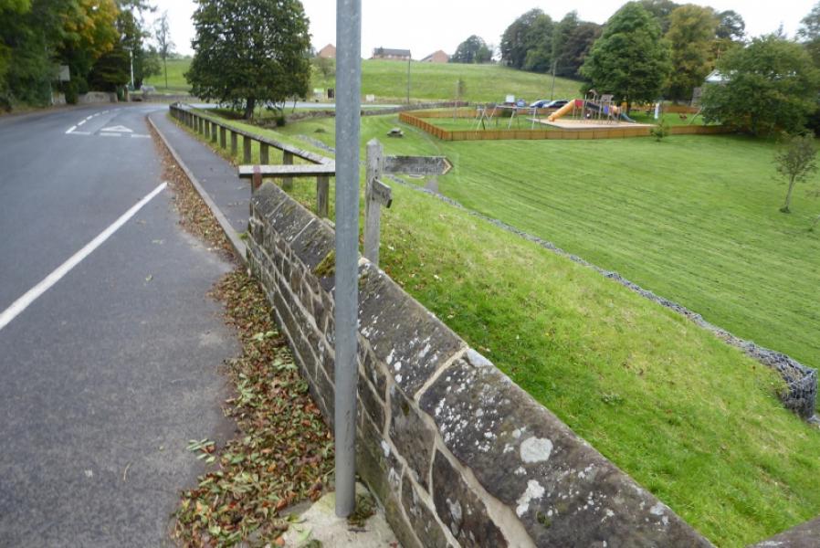
No peaks as such but the highest point is on Ealingham Rigg
OL 43: Hadrian's Wall. OL 42: Kielder Forest & Water.
OS 86: Haltwhistle and Brampton. OS 80: Cheviot Hills & Kielder Water
Introduction
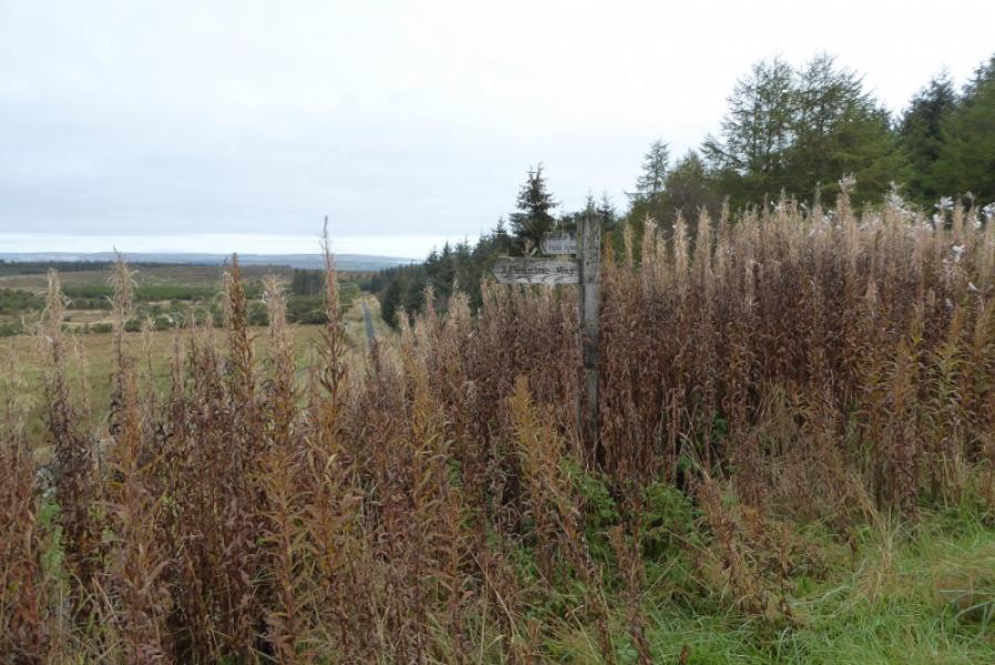
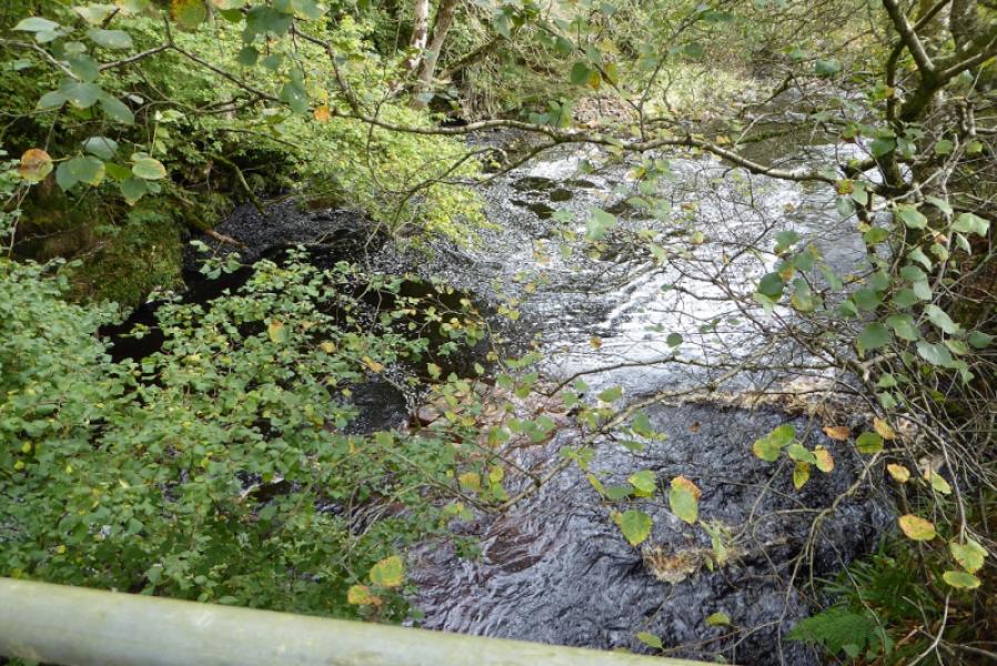
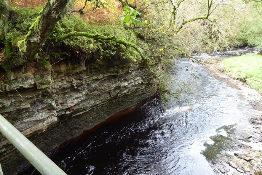
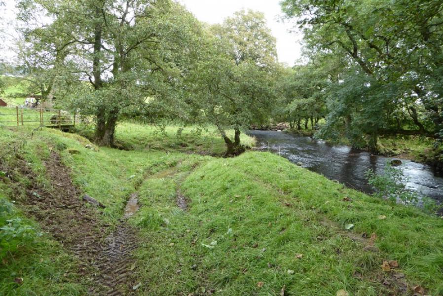
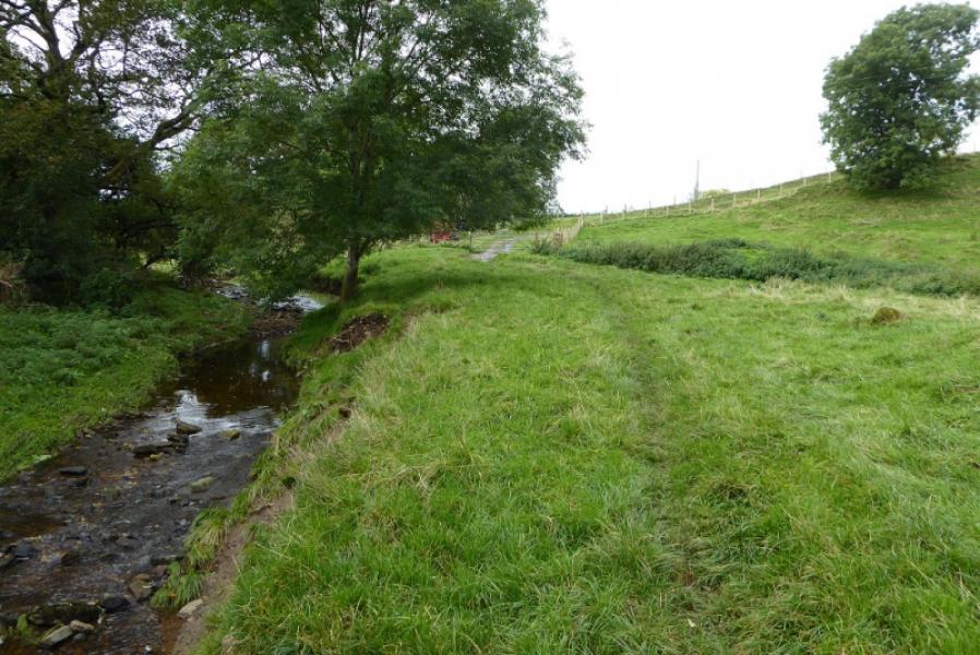
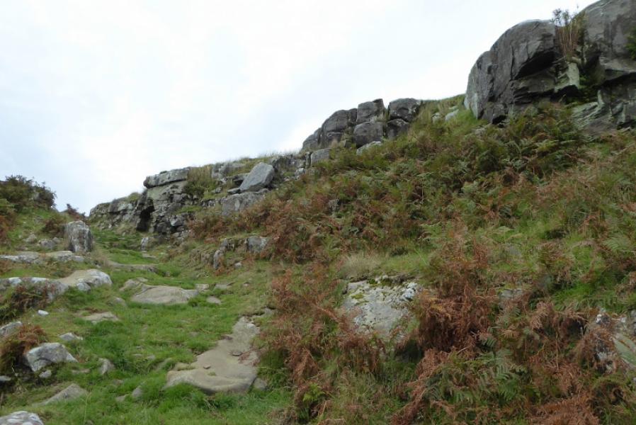
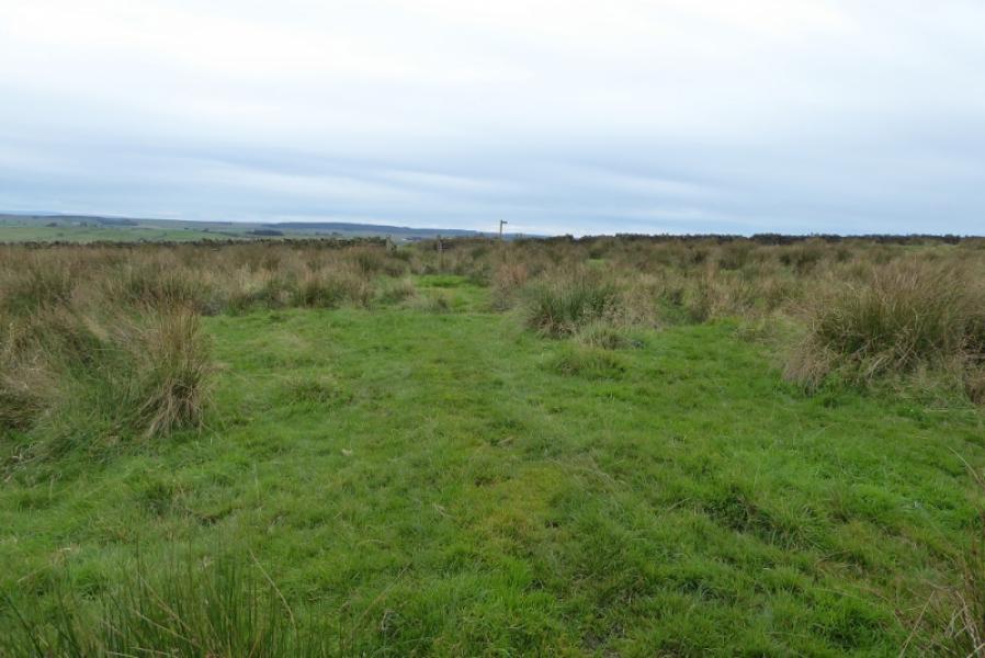
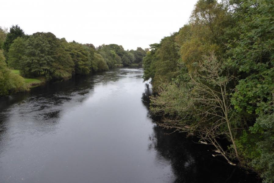
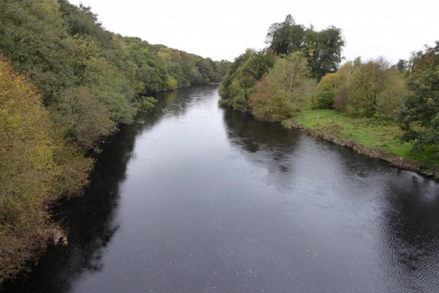
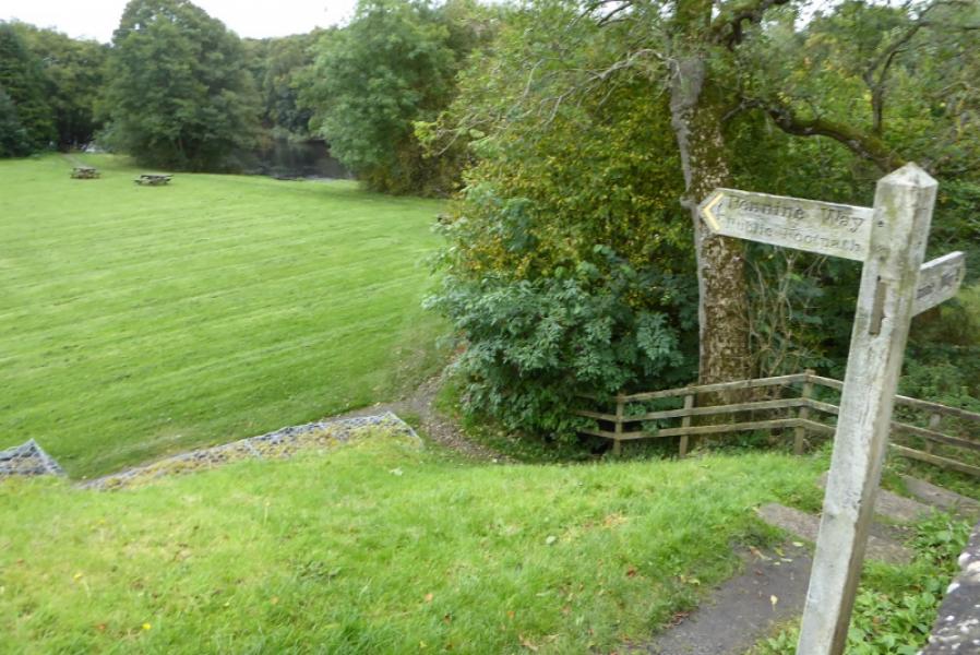
This is another of the boggy sections of the Pennine Way mainly on open moorland. Fortunately, navigation is fairly straightforward for much of the way however progress will be slow at times. The scenic highlights are Warks Burn, Shitlington Crags and the bridge over the North Tyne at Bellingham.
Route
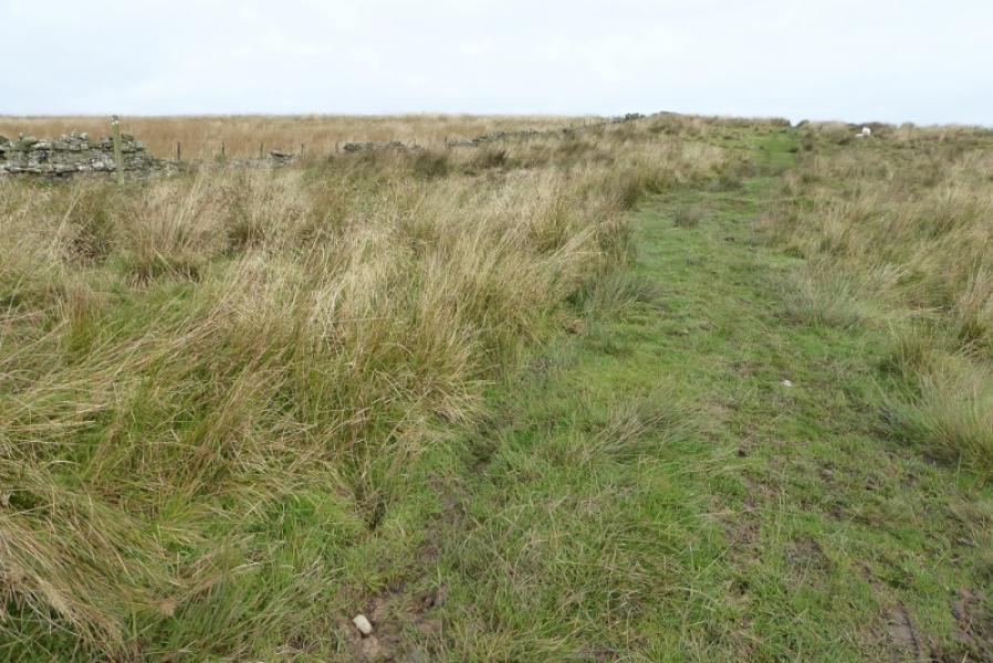
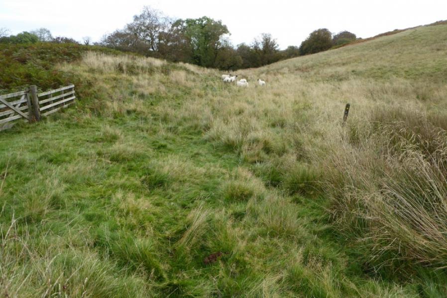
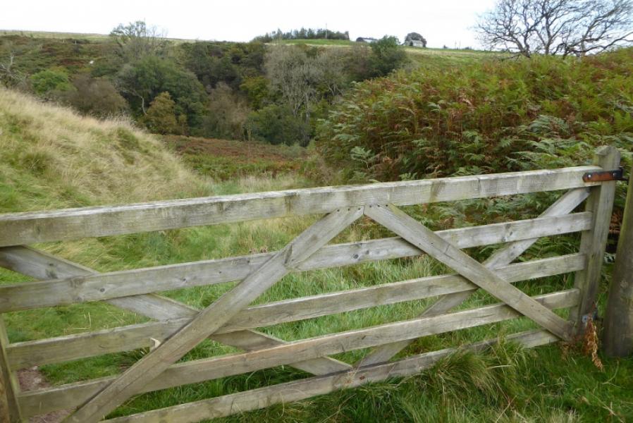
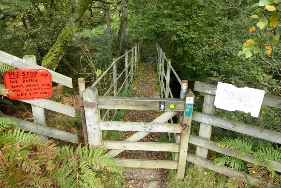
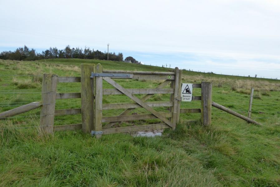
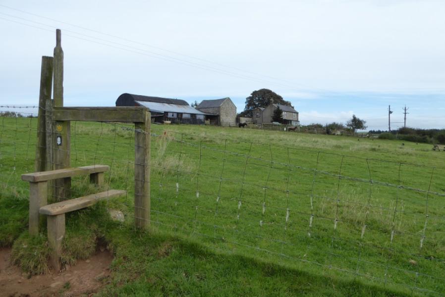
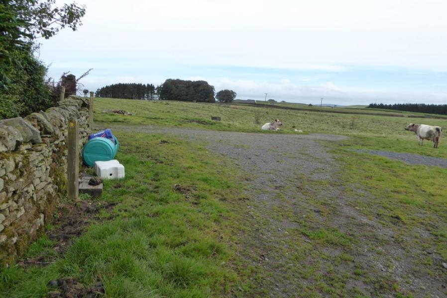
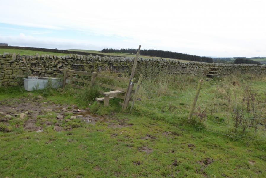
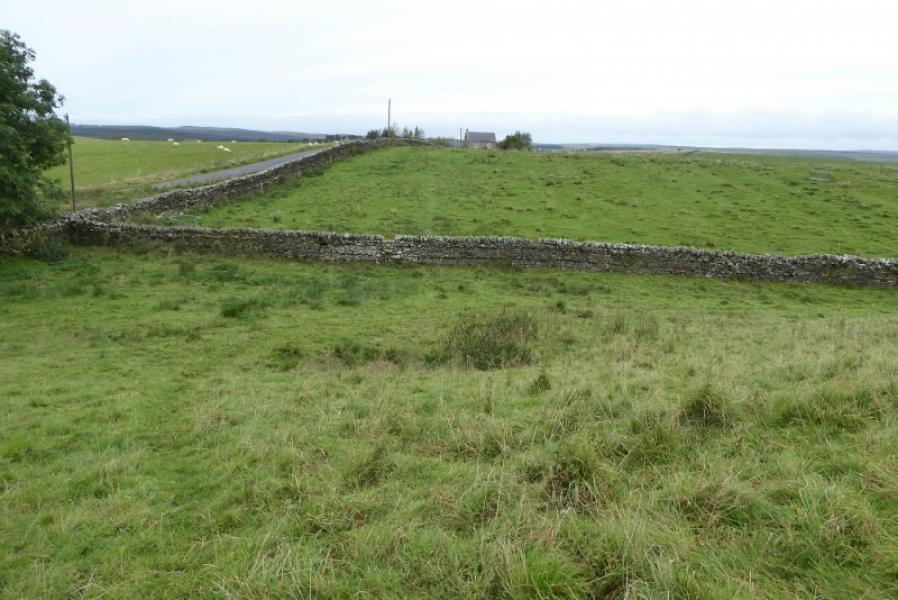
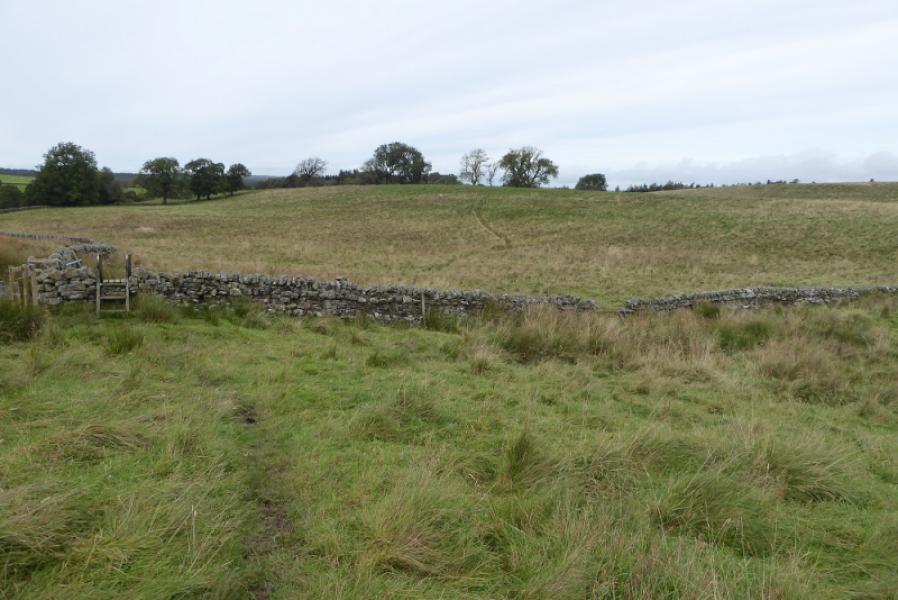
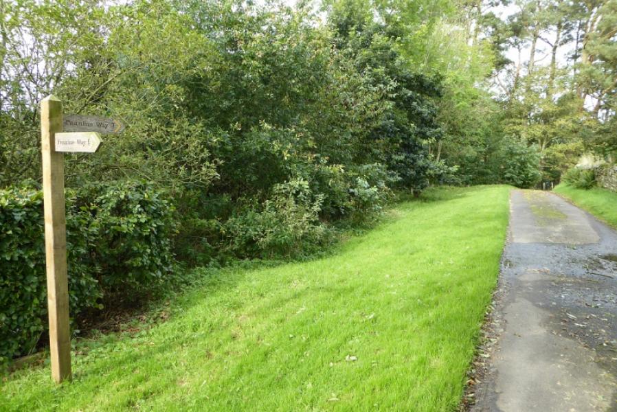
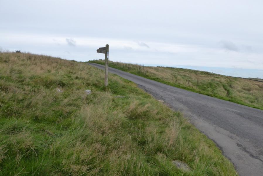
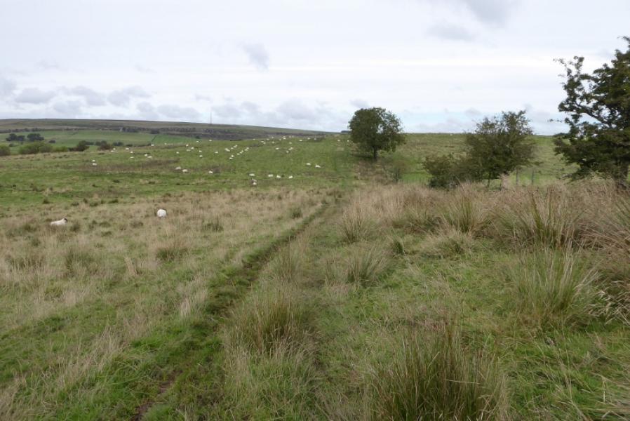
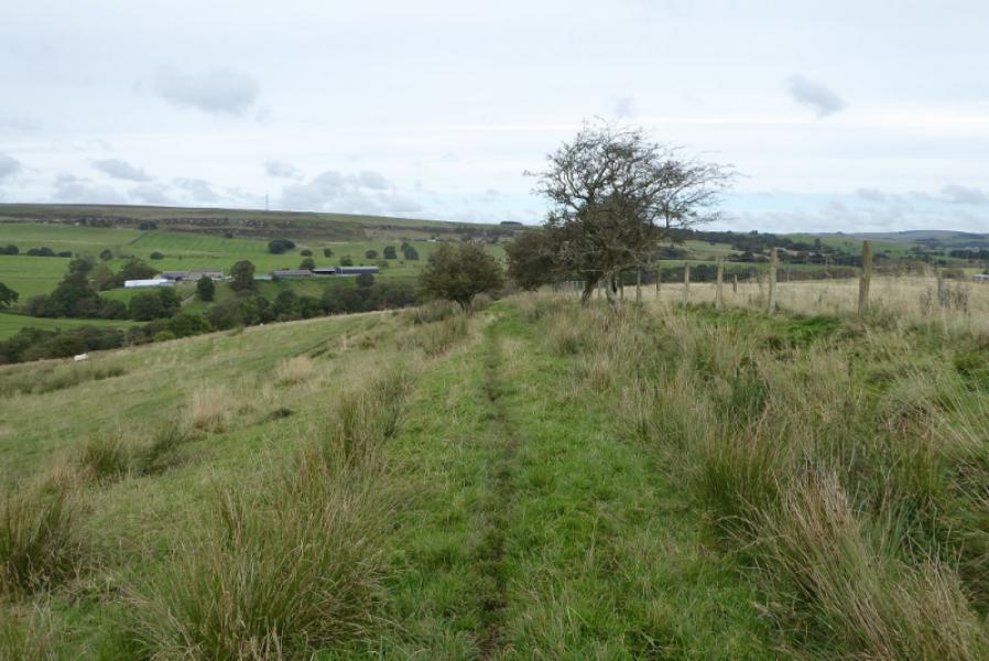
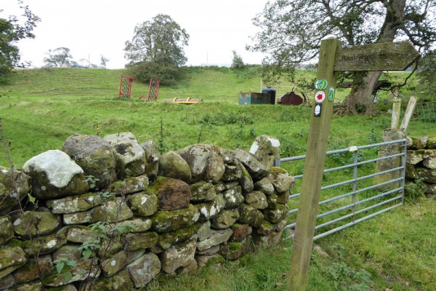
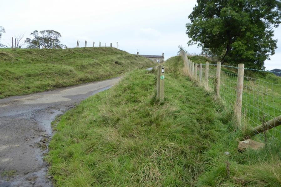
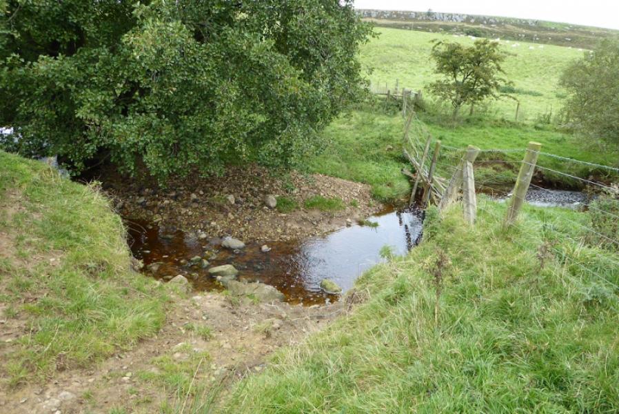
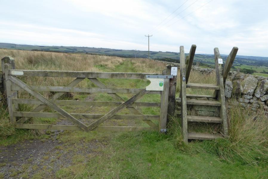
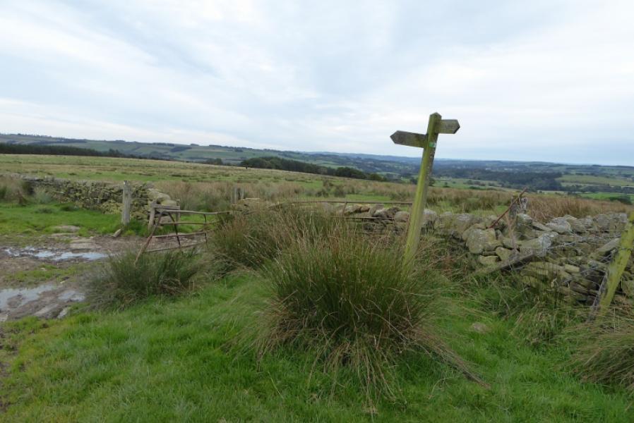
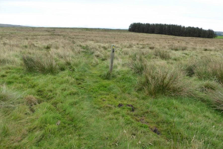
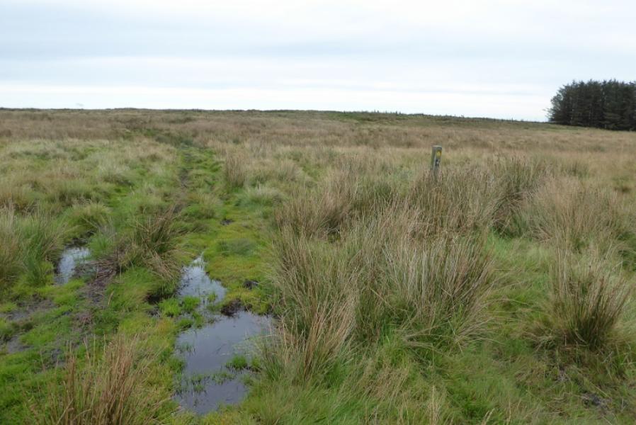
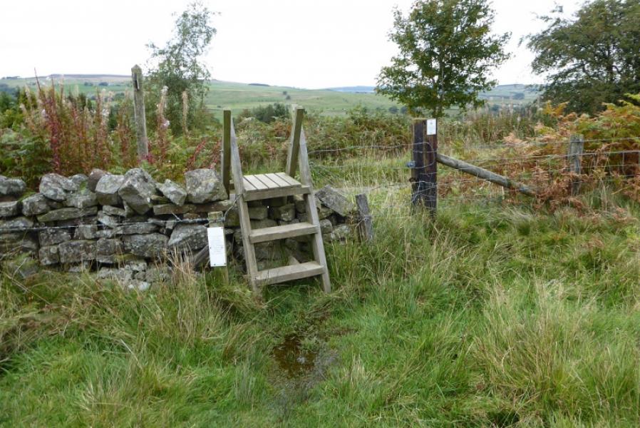
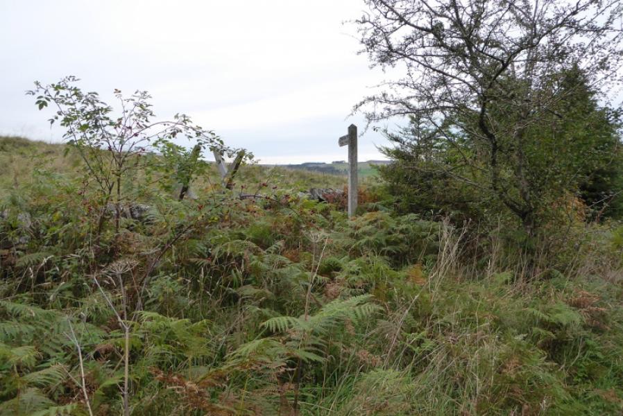
(1) Follow the track opposite the entrance to the Falconry. Cross a minor road then another track to reach open moorland which is quite boggy in places. Follow the rough path NE then N and cross the small stream known as Fawlee Sike. Continue, passing a sign post by a wall corner off to the left. Continue, passing to the left of some gorse bushes after a stile. Reach a gate where the Pennine Way turns right. The path is now quite faint so don't stray off to the right. Reach a marker post where you turn left, through a gate, and descend to the bridge over Warks Burn. Ascend up the other side and follow the path to Horneystead where there are some facilities advertised earlier at the footbridge. Continue ahead to reach The Ash, a very large building. The path stays right, joins a track for a few metres then turns left after the buildings. The path soon becomes faint and heads towards a road before crossing a stone stile and continuing to cross the road at Leadgate.
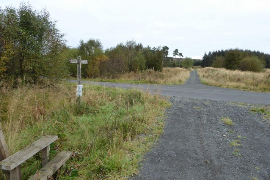
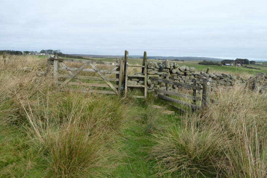
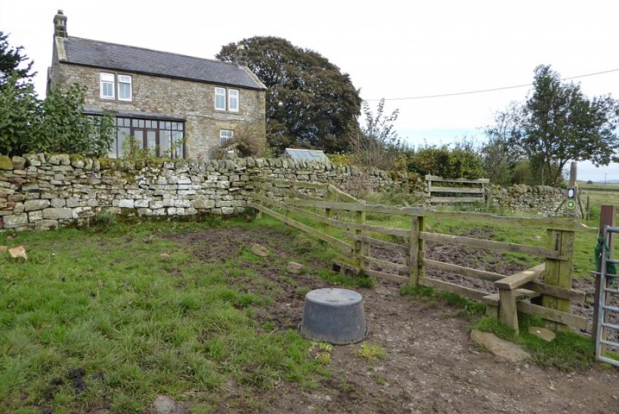
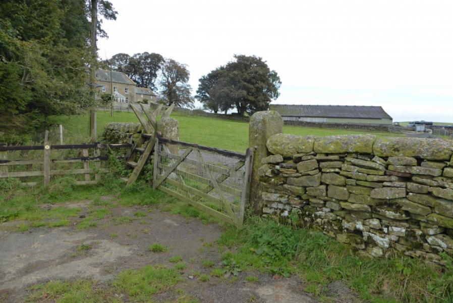
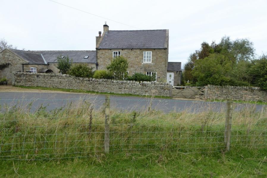
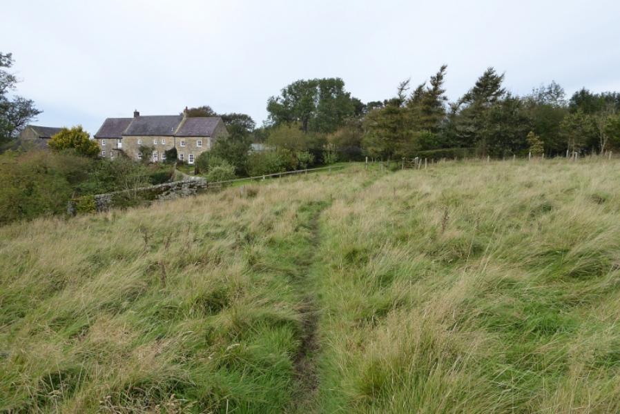
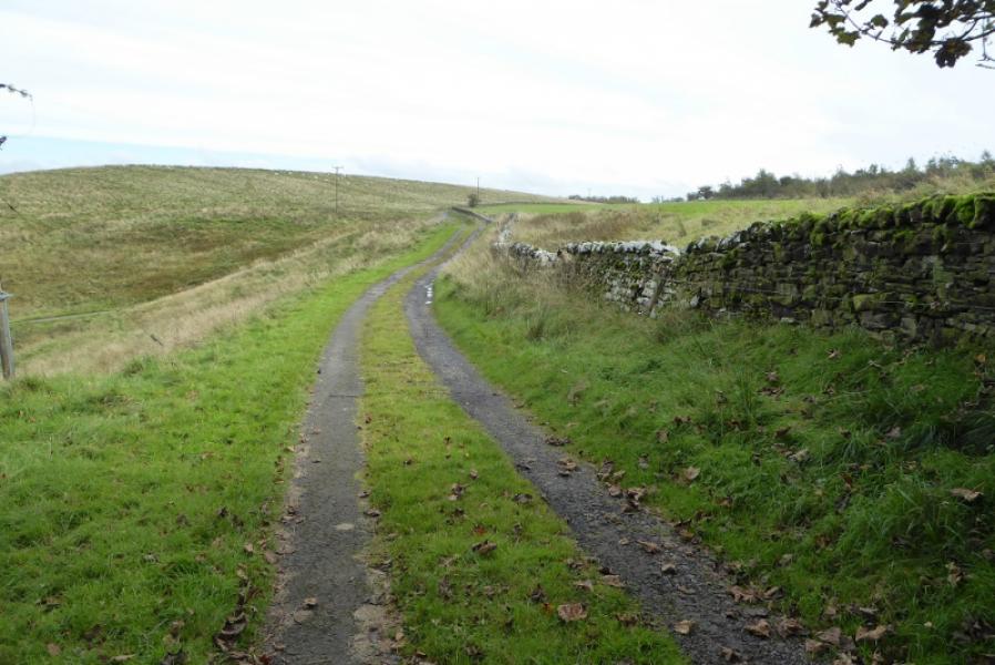
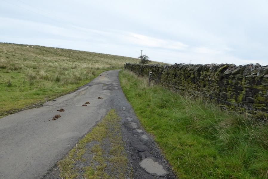
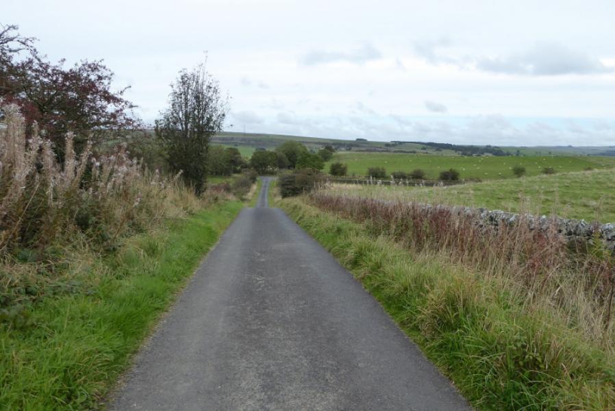
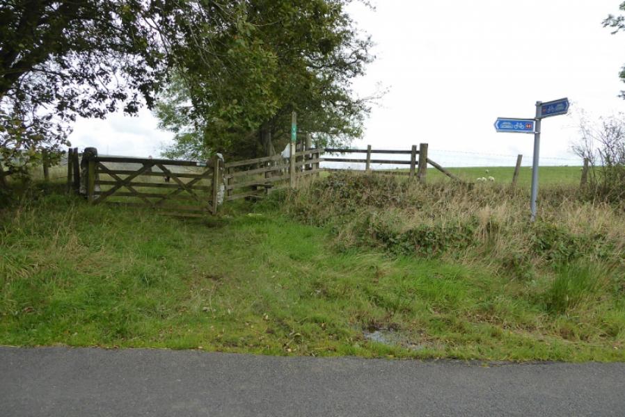
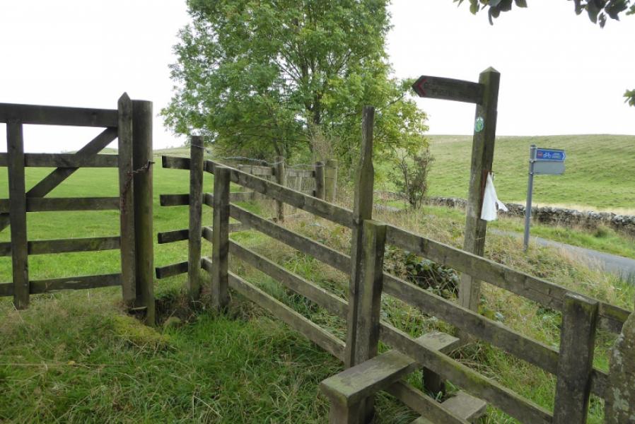
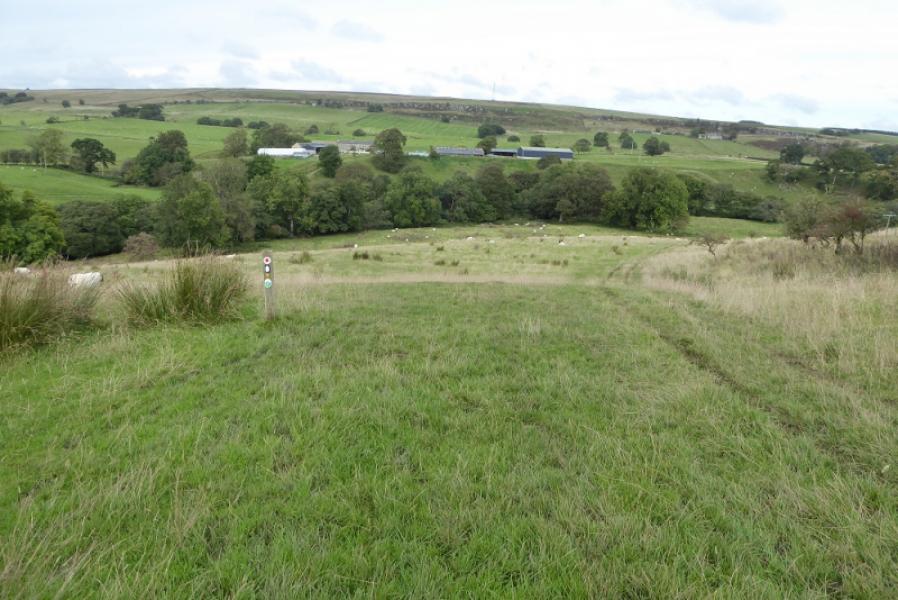
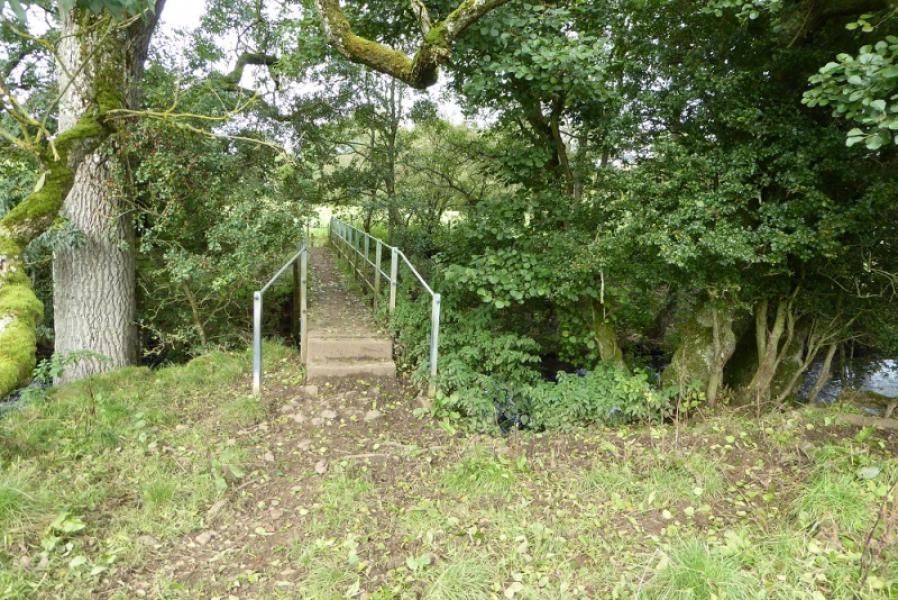
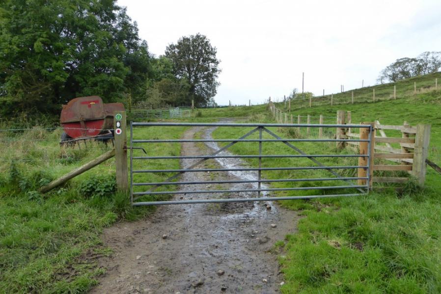
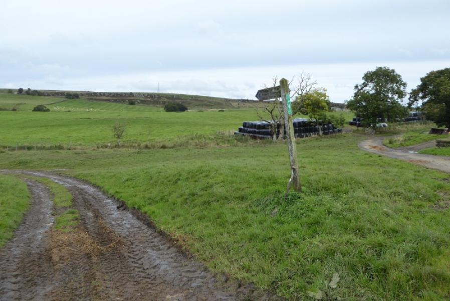
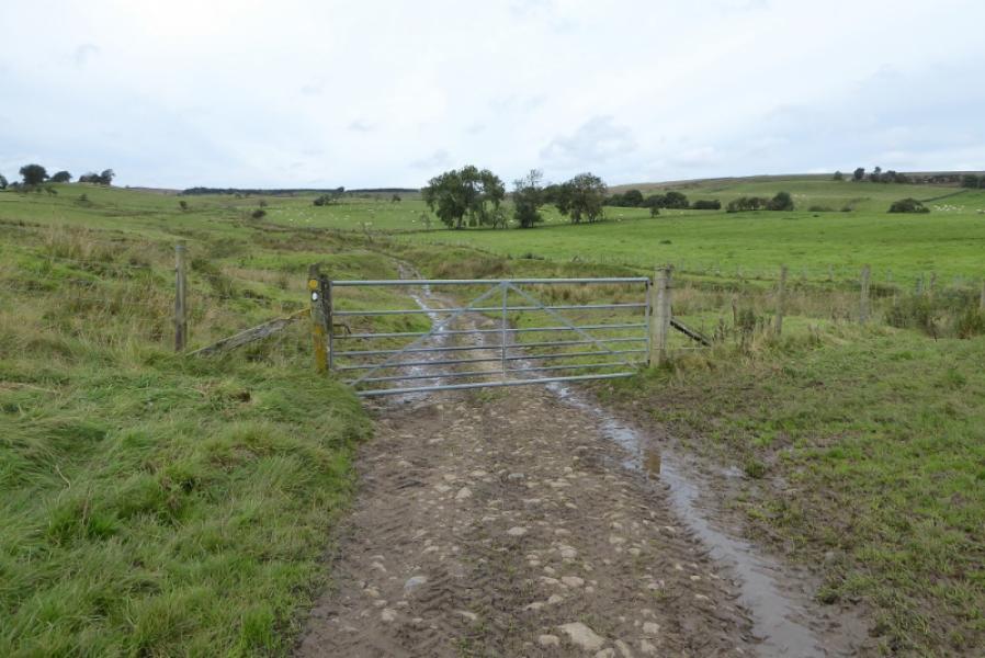
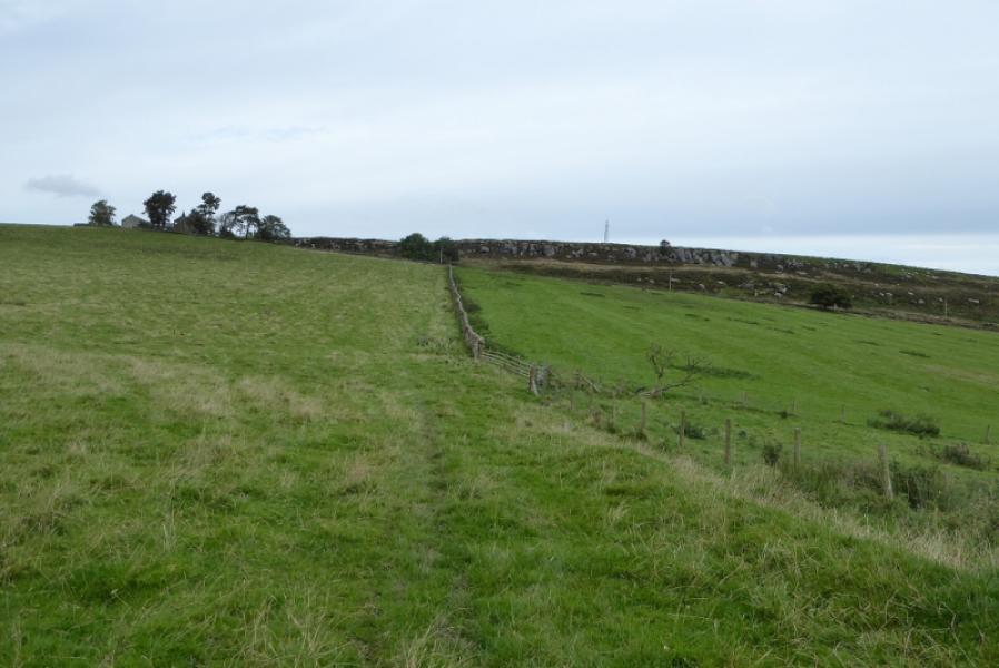
(2) Cross the road, signed, and follow the road towards Lowstead where the path is directed around the grounds to reach the track coming from the house. Turn right onto the track and follow it until it merges with a minor road. Continue to a T junction. Turn left and follow the straight road to another T junction with a cycle route sign with the Pennine Way sign less obvious and further back. Cross over and follow the path ahead. Reach a marker post where a faint path forks left. Follow this down to a footbridge. Cross over then turn right. After another footbridge over a tributary, turn left and follow a path to reach a minor road. Turn right and go uphill to pass Shitlington Hall on the left. Immediately after, fork left onto a signed but boggy track. Follow this, ignoring a left turn to reach a gate where the Pennine Way goes right and starts ascending a gentle grassy slope. Stay close to the fence on the right. Descend gently to cross the minor stream known as Slade Sike then continue to reach a track to the E of East Highbridge. Continue on the obvious path which soon slants left up through Shitlington Crags. Reach a stile over a wall just before a track. Turn right onto the track and walk past the mast.
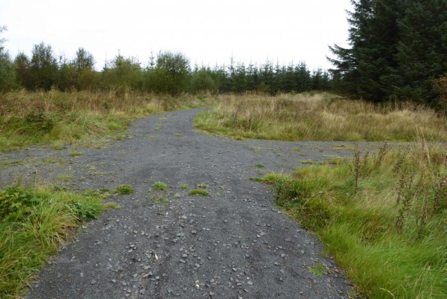
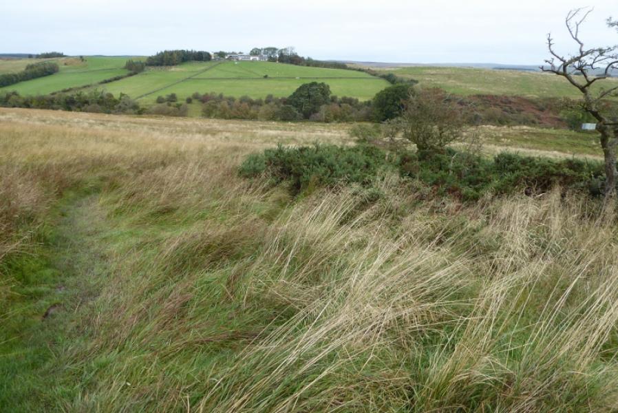
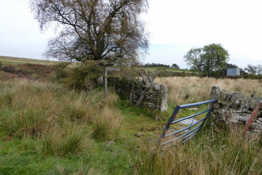
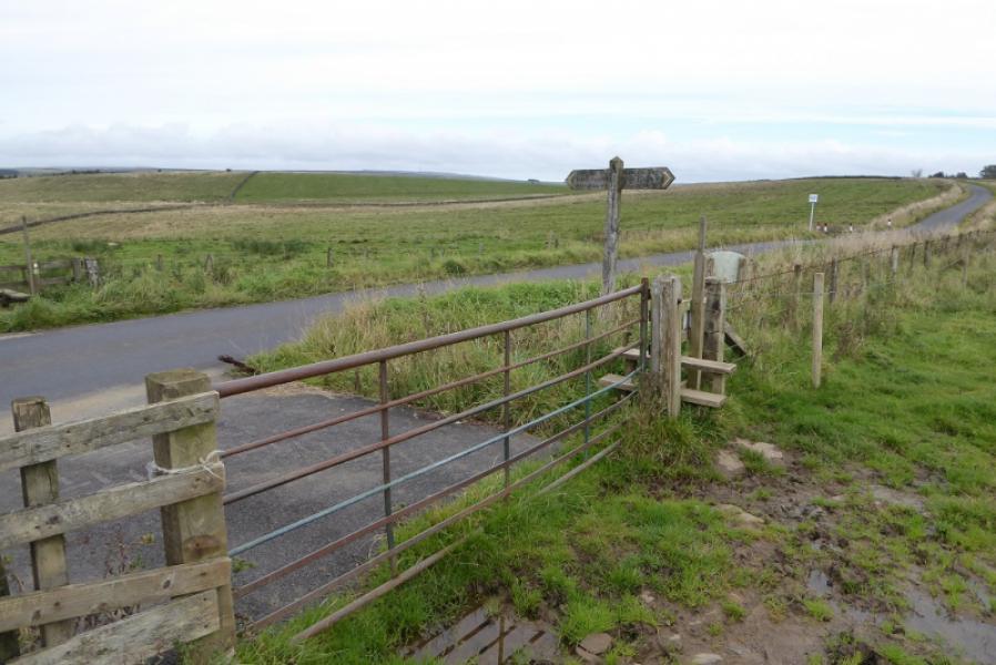
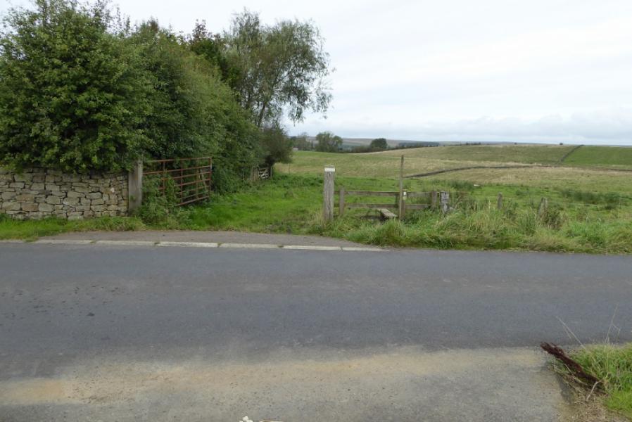
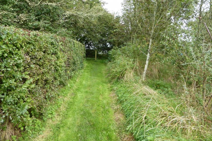
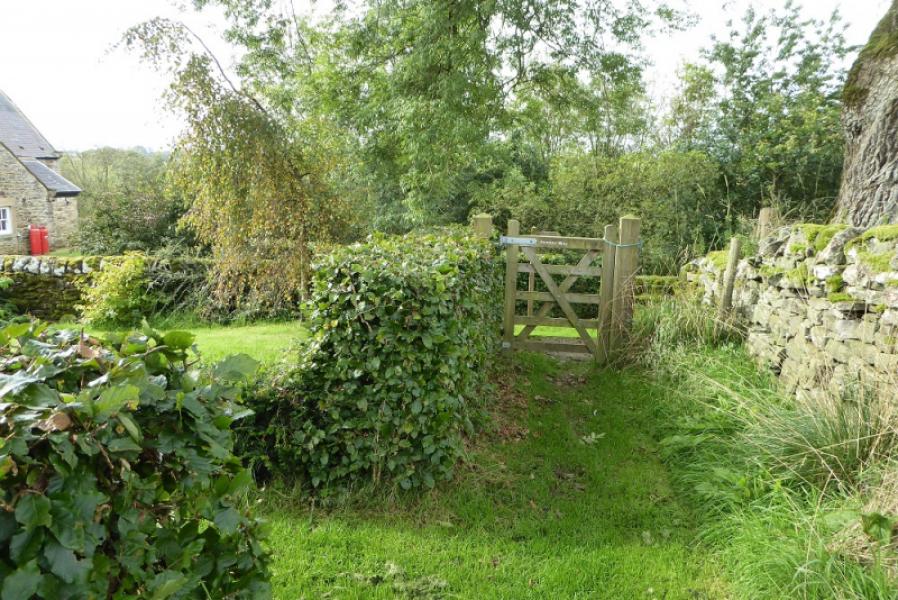
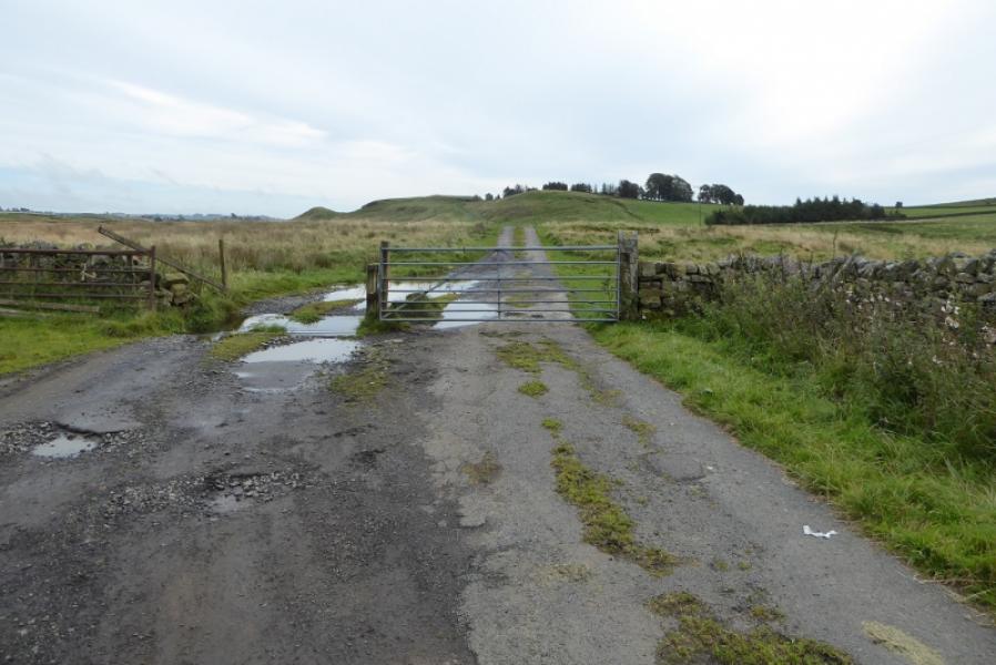
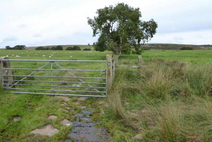
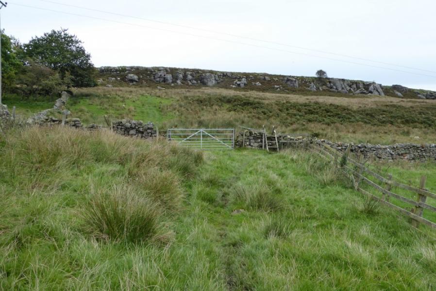
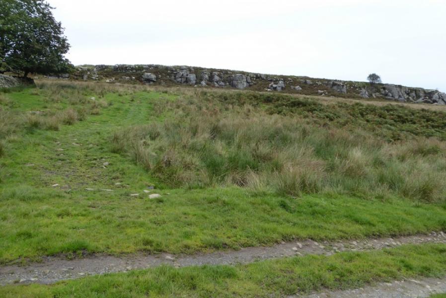
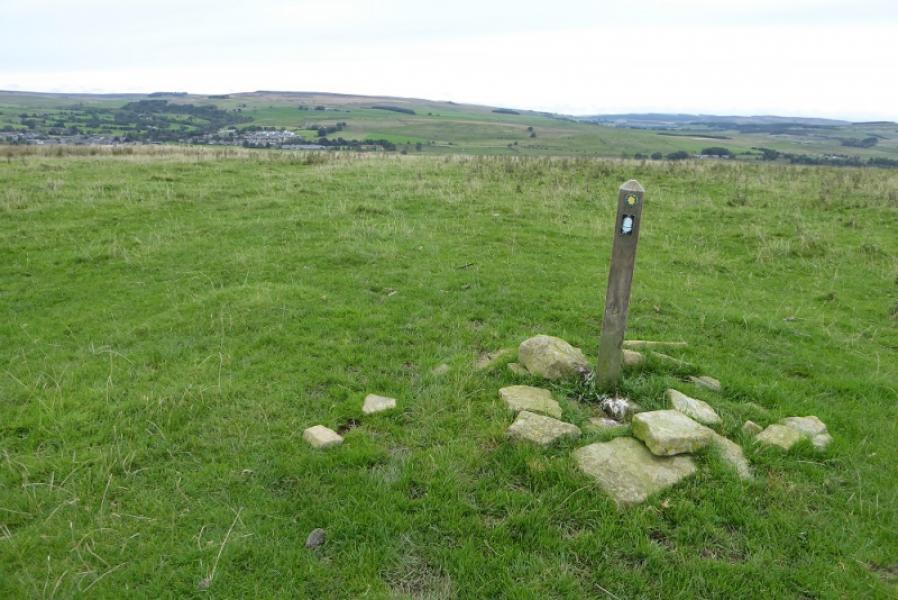
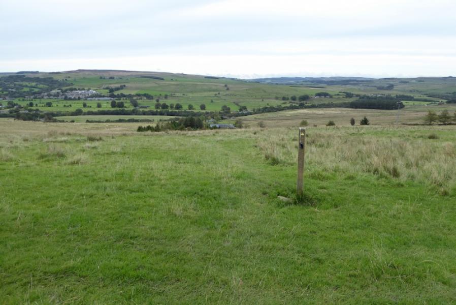
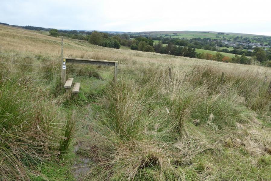
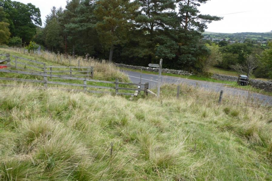
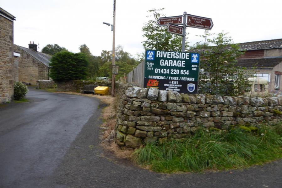
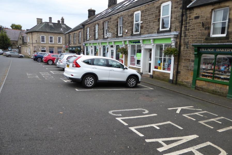
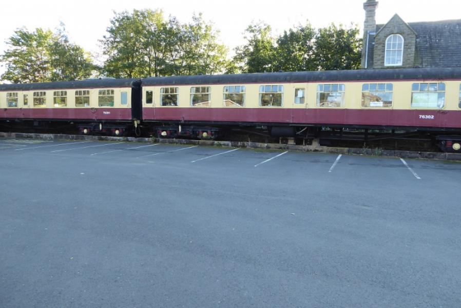
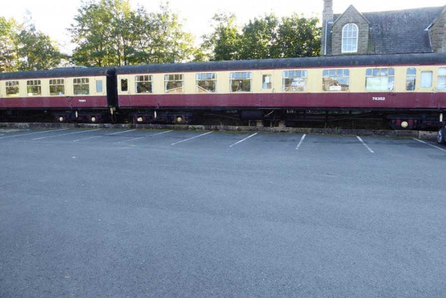
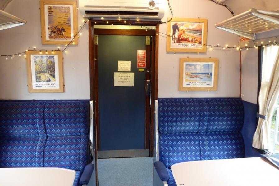
(3) Continue after the mast to soon reach a signpost where the Pennine Way goes left, seemingly into rough pathless moorland but a path will soon be found and there are a few marker posts as well as duckboards ove rthe most boggy sections. Reach a marker post where a first glimpse of Bellingham is seen. Continue. The last marker post above the house at Fell End does not quite point in the correct direction so head for the house to reach a stile onto the minor road. Turn left and follow the road around a bend. Soon after, the Pennine Way leaves this road and heads N towards the B6320. Reach a signpost by the road. It looks like the road is joined here but it isn't! Instead follow a rough path NW around the back of a wood then down to the road further on at a large sign for Bellingham. Use a very poor path on the left of the road until a footpath appears on the opposite side. Follow the footpath and cross the bridge over the North Tyne then immediately turn right, signed, and follow a path alongside the river. This leads to a minor crossroads at the Riverside Garage. Turn left and soon reach the road through the centre of Bellingham Village. Turn right and pass the Co-Op and Post Office then turn right onto the road for West Woodburn. Follow this past the small petrol station then the YHA and finally to the Heritage Centre car park where there is a tea room inside two vintage railway coaches.
Notes
(a) This route was walked on 3rd October, 2019.
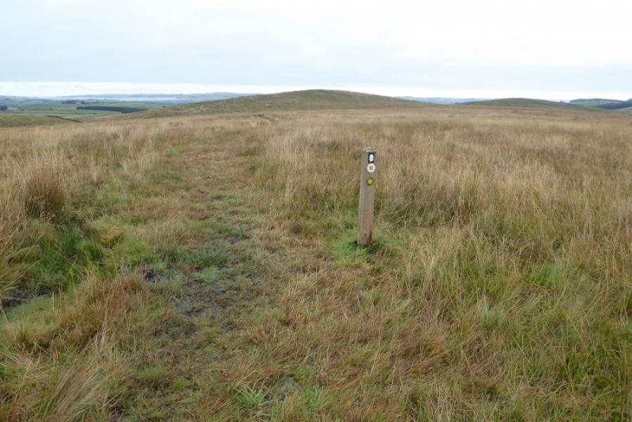
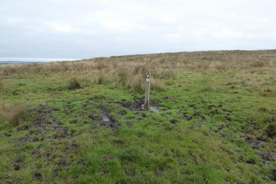
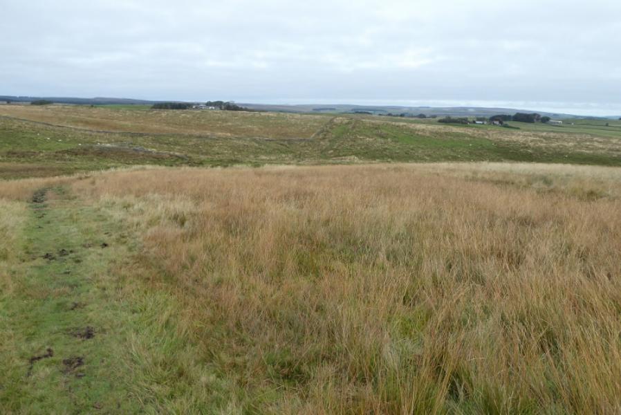
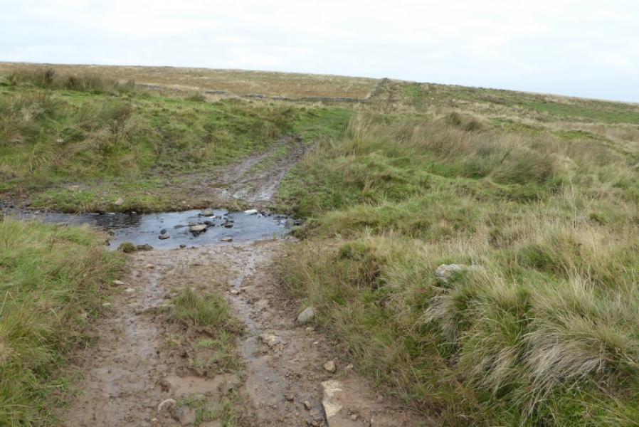
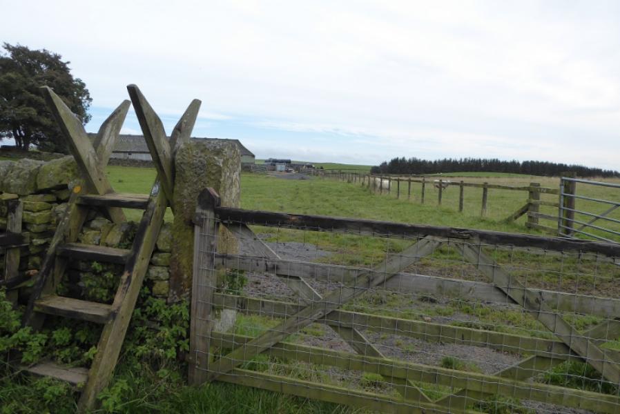
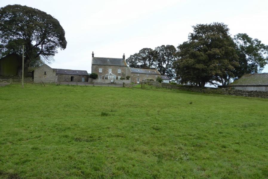
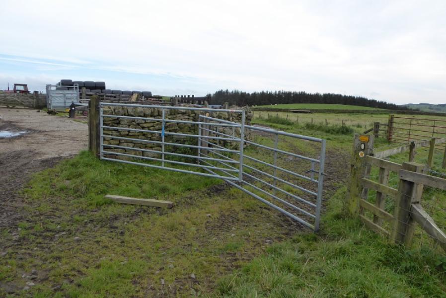
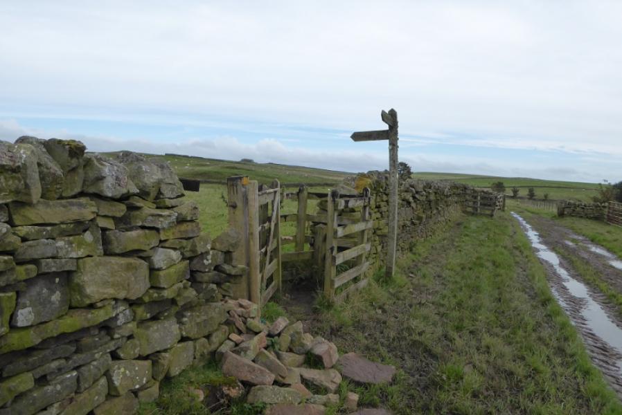
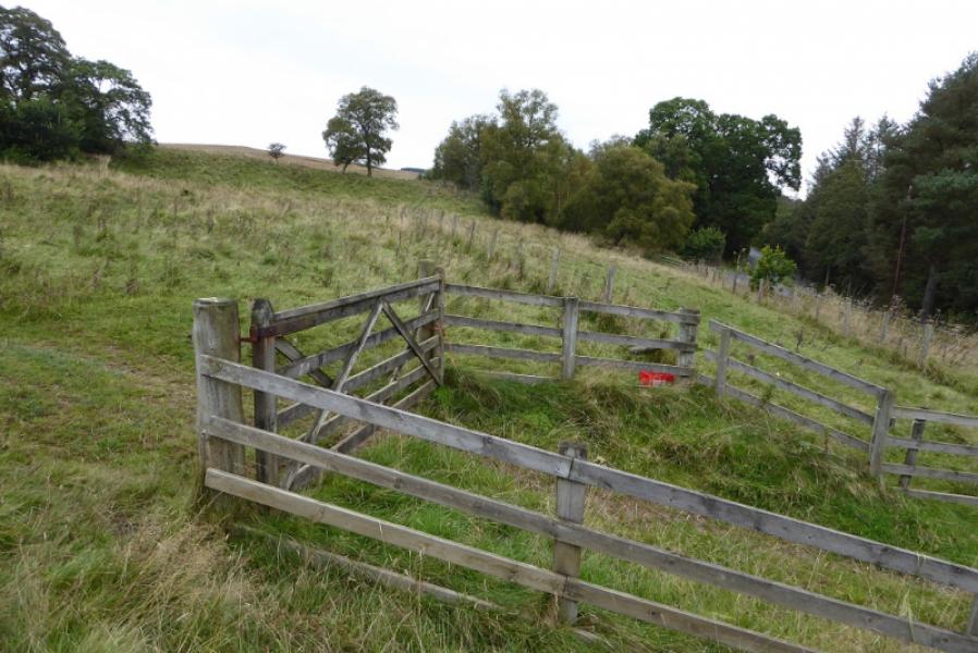
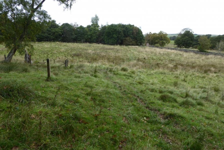
Photos - Hover over photo for caption. Click on to enlarge. Click on again to reduce.