Get Lost Mountaineering
You are here: England » Pennine Way » 5. Dufton to Bellingham
6. Hadrian's Wall near Housesteads to Ladyhill Farm Falconry
6. Hadrian's Wall near Housesteads to Ladyhill Farm Falconry
Start/Finish
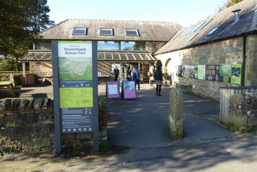
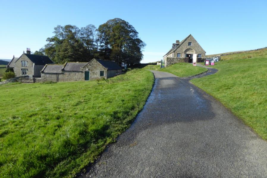
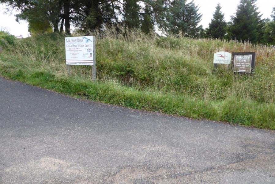
Start at Housesteads Visitor Centre, NE47 6NN, which is fairly obvious on the B6318 between Chollerford and Greenhead. Parking is quite expensive here but there are free toilets and a cafe/gift shop. The finish is on Ward Lane very close to the entrance to Ladyhill Farm Falconry, NE48 3EE. Sat Nav is not very good at finding the Falconry and tends to take on ethere by a rather circuitous route. The simplest way to drive to the finish is to take the B6320 from Chollerford to Bellingham. Turn off at Townhead where a minor road is signed, going west, to Whygate. Follow this mainly straight road to the Falconry. If leaving a car at the finish, there is a long passing place just to the east of the Falconry if you cannot get permission to park at the Falconry. Note that large timber wagons use this road often at speed! If tagging this route onto the Hadrian's Wall walk from Greenhead then simply leave the wall at the Pennine Way sign west of Housesteads. Many will start at Housesteads and continue all the way to Bellingham.
Distance/Time
10 km. About 3 hours.
Peaks
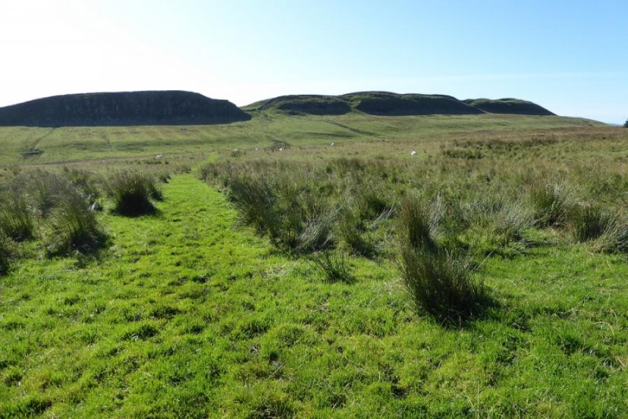
No peaks as such but the highest point is on Hadrian's Wall.
OL 43: Hadrian's Wall. OS 86: Haltwhistle and Brampton.
Introduction
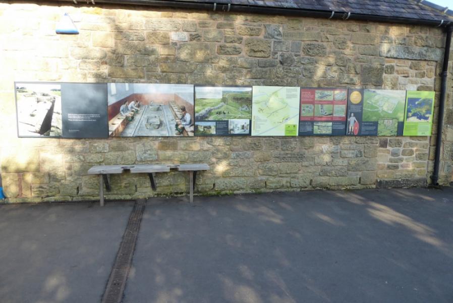
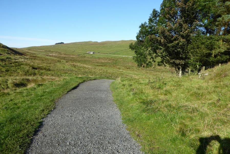
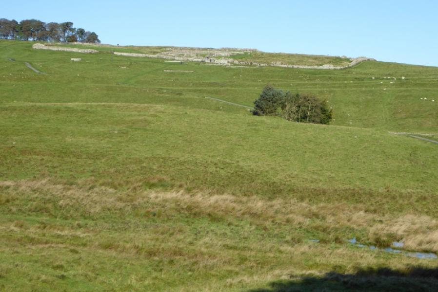
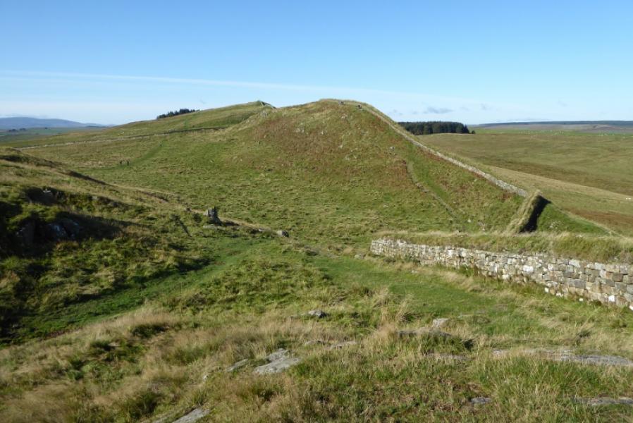
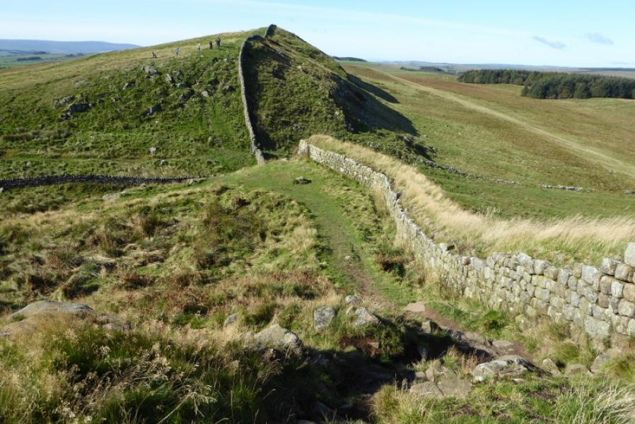
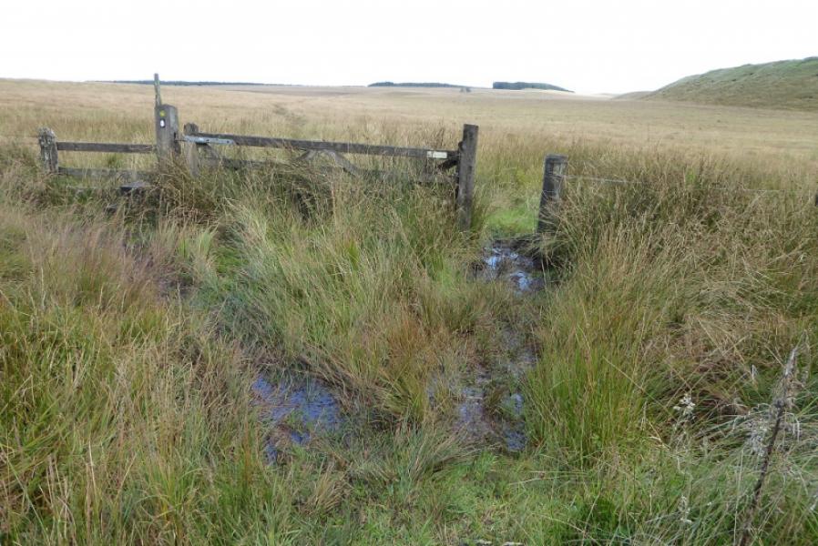
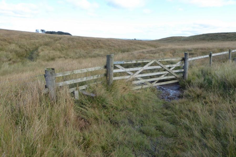
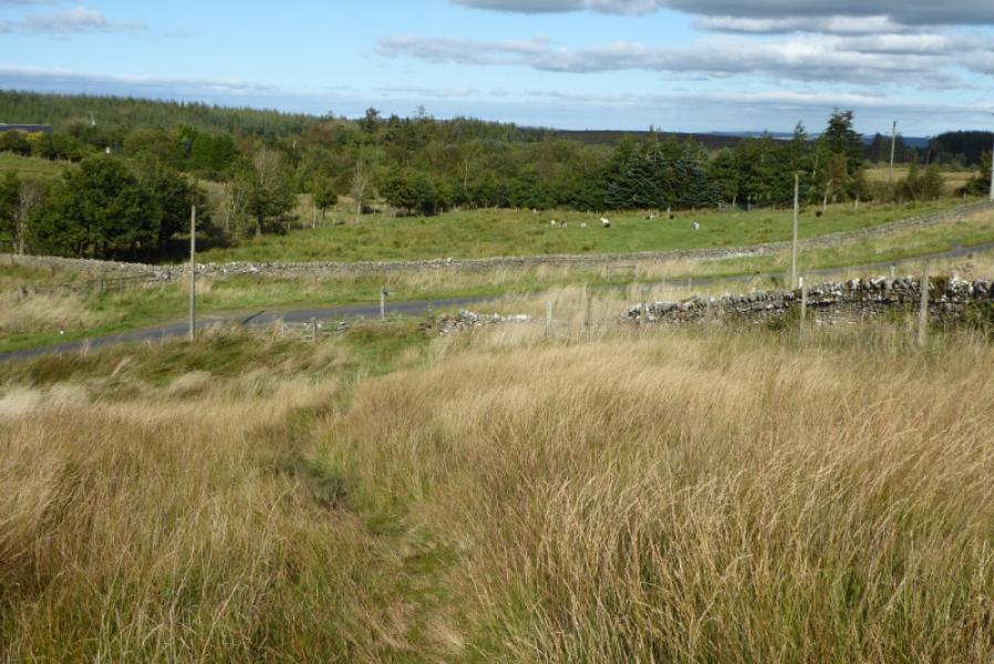
This is one of the boggiest sections of the Pennine Way with both boggy moorland and boggy forest. Fortunately, navigation is fairly straightforward for much of the way. The best views are on Hadrian's Wall or looking back to it. The Housesteads Fort is definitely worth looking at but there is an admission fee to both it and the museum nearby. Note that the section from Housesteads car park to where the Pennine Way goes north is NOT on the Pennine Way and is only used to access the Pennine Way.
Route
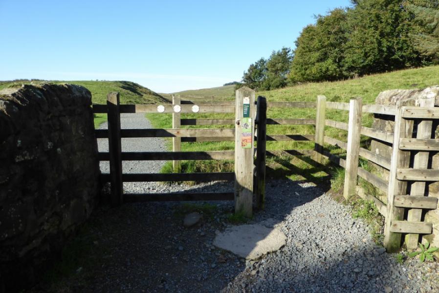
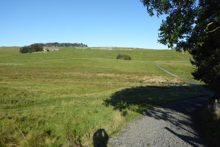
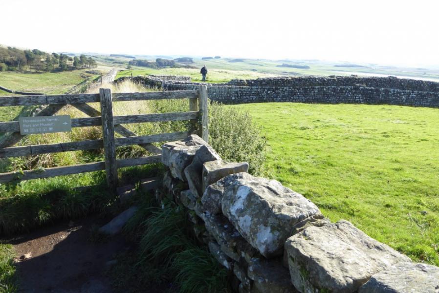
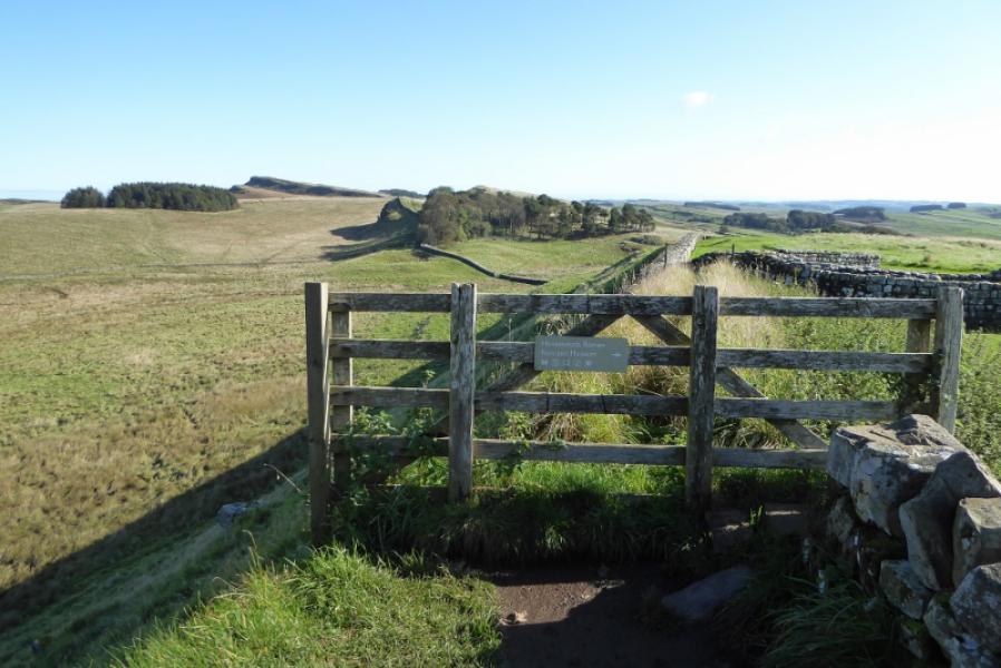
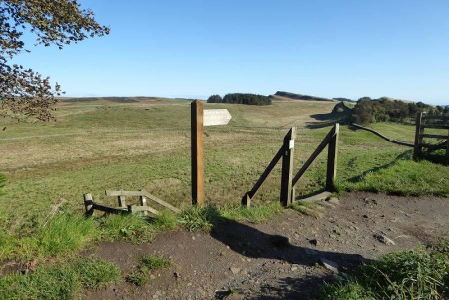
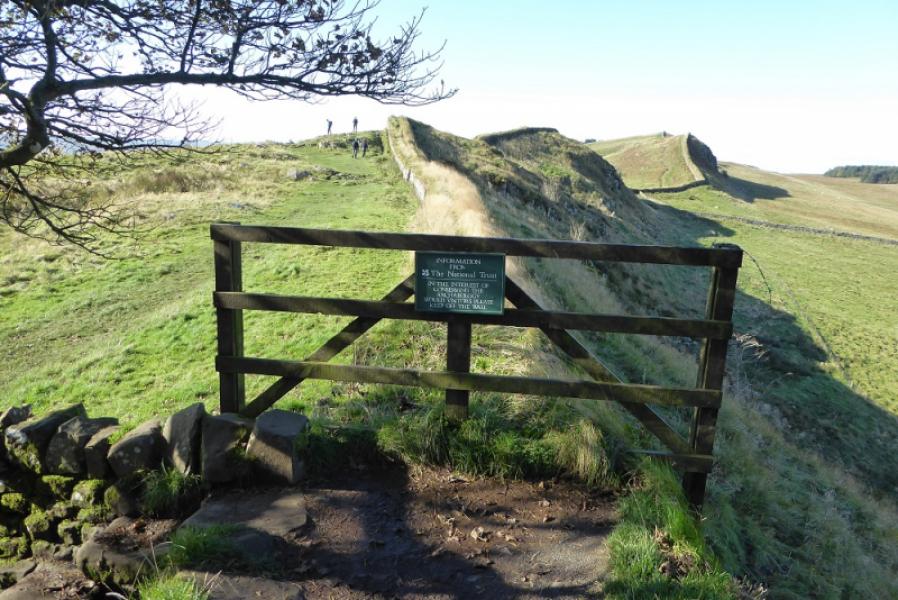
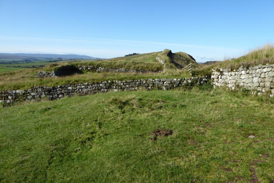
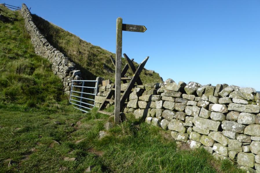
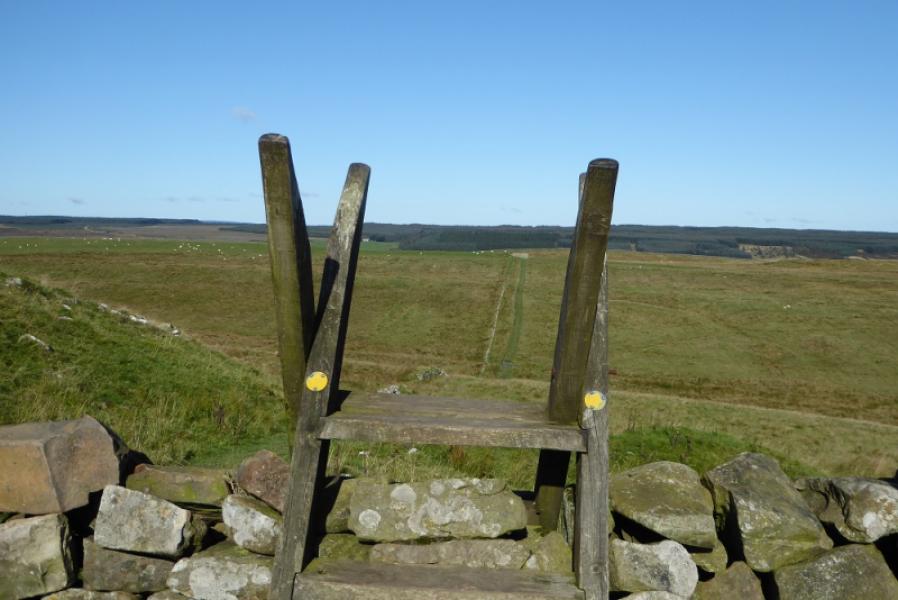
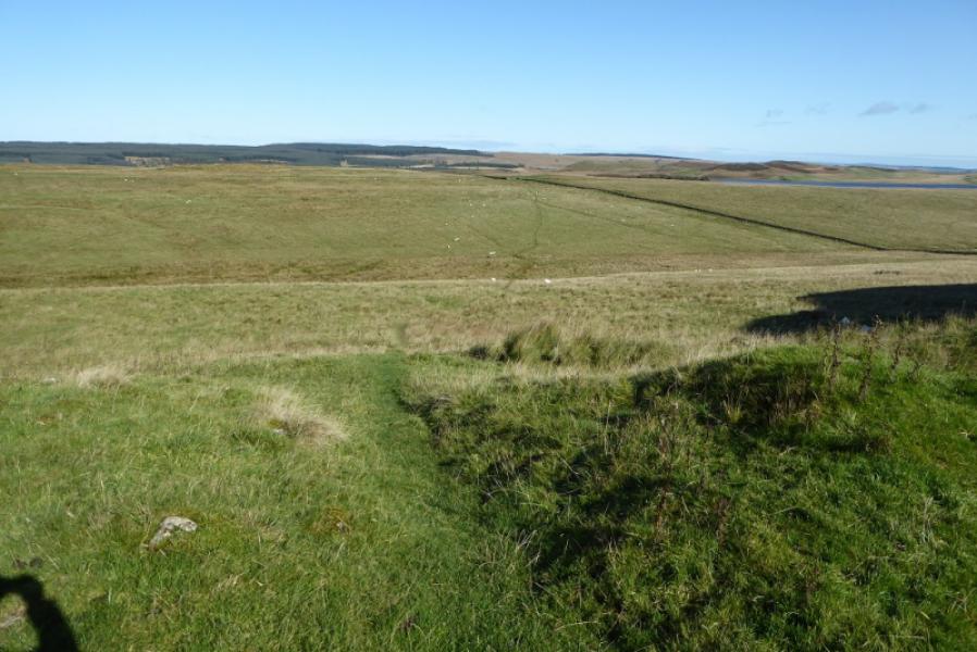
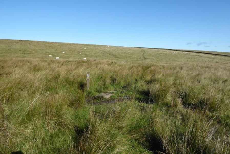
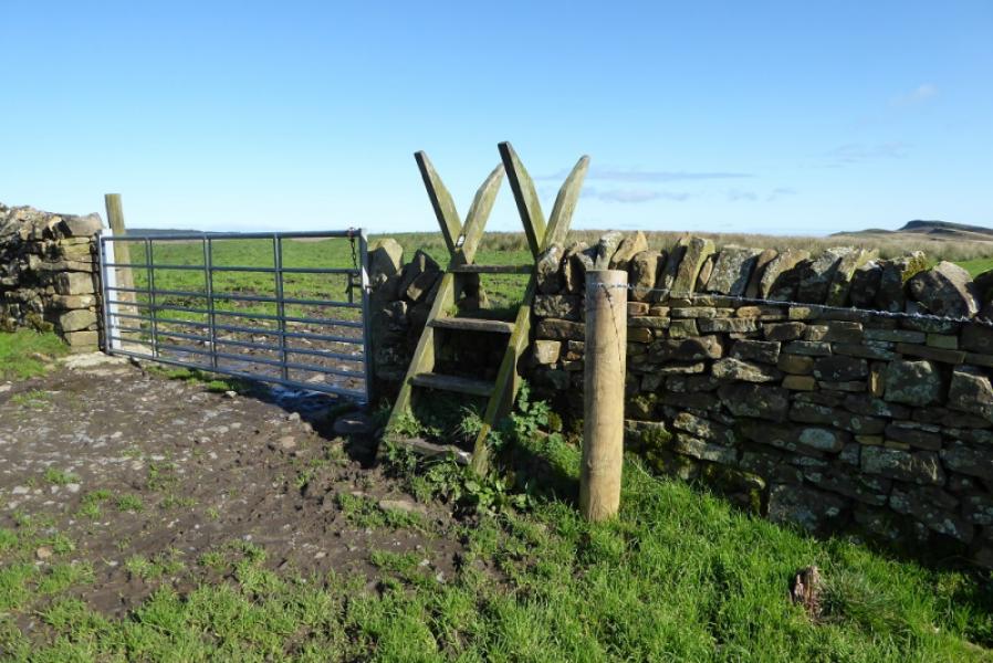
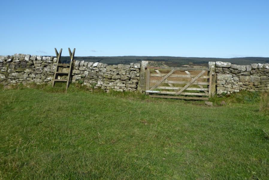
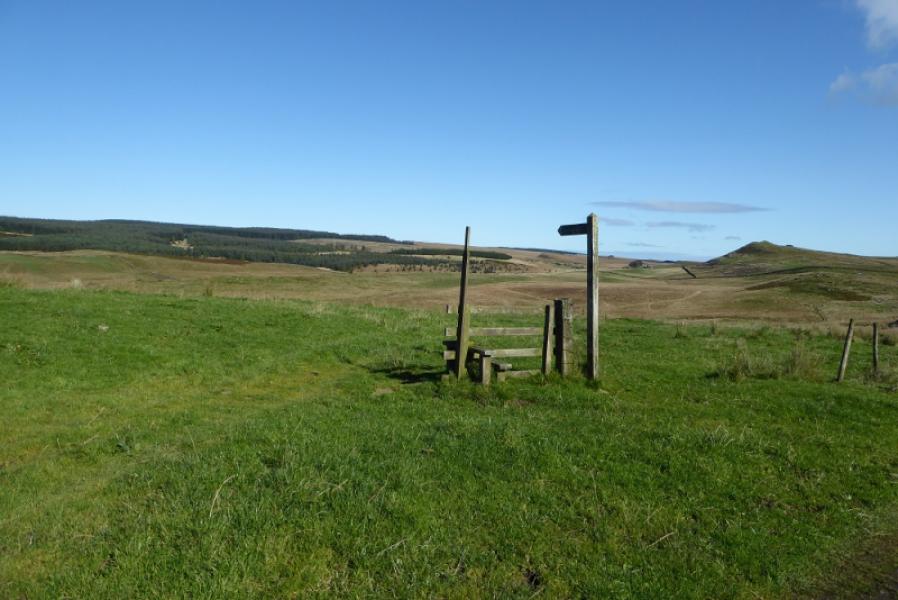
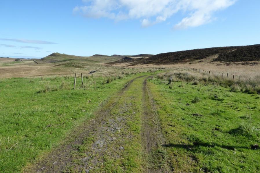
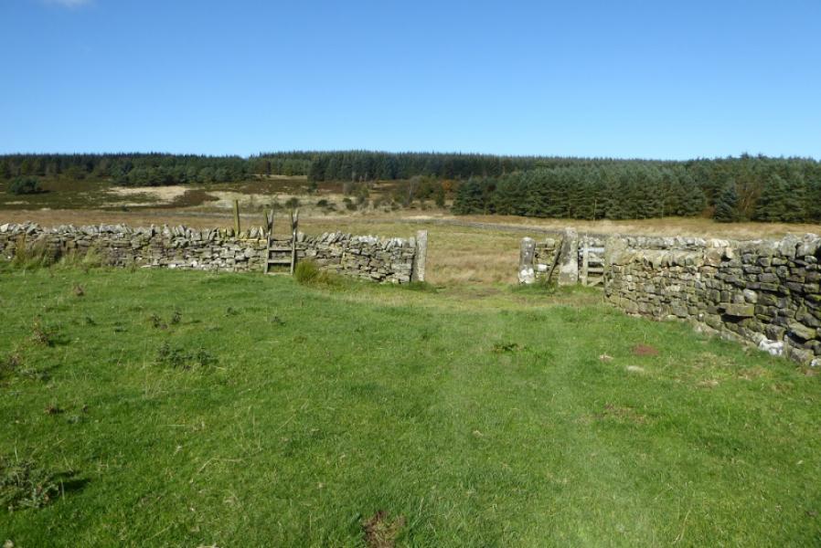
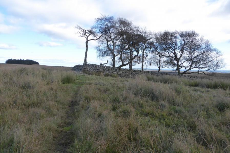
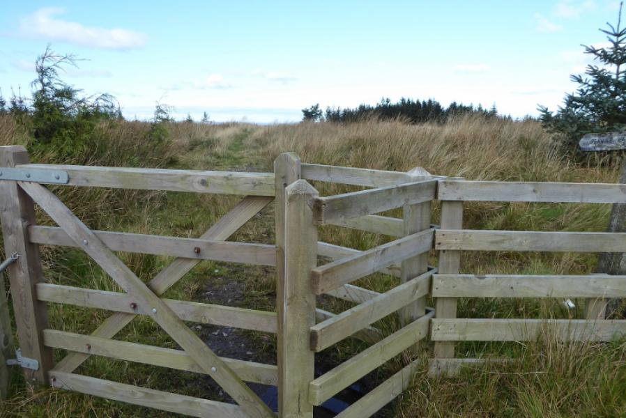
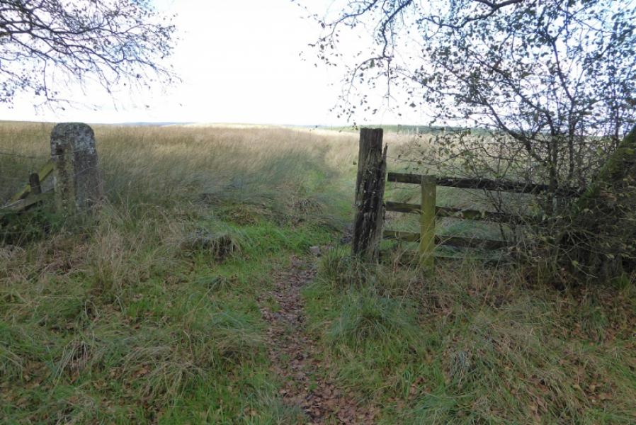
(1) Follow the very obvious path from the Housesteads Visitor Centre/Car Park up towards Hadrian's Wall. Pass the museum, just below the fort, and continue up the wall on the left of the fort to reach the Hadrian's Wall path. Turn left and follow either of the two paths. The right hand path seems to have been created on the remnants of old wall as will become obvious a little further on. Try to follow the wall with rough steps into the first dip. Most will drift left to get onto the second dip where the Pennine Way leaves the wall and head NNE. The route does NOT follow the obvious path by a wall but soon forks off right. Once on this path, the route is well signed and two fields are crossed diagonally then continues, with a few changes in direction, to cross a rough track near Cragend. Continue to reach a bridge. The house at East Stonefolds should now be coming into view. Soon after the bridge, the path is not too obvious so aim right to pass about 300 m to the E of the trees by East Stonefolds. This should lead you to a marker post then a stile over a wall and onto a track obviously going to East Stonefolds.
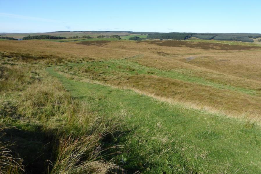
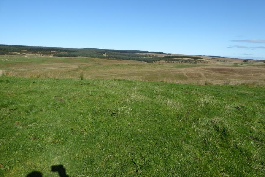
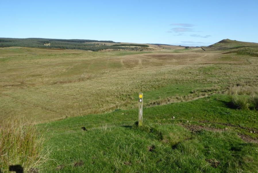
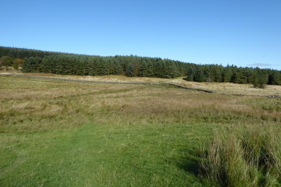
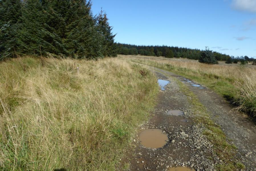
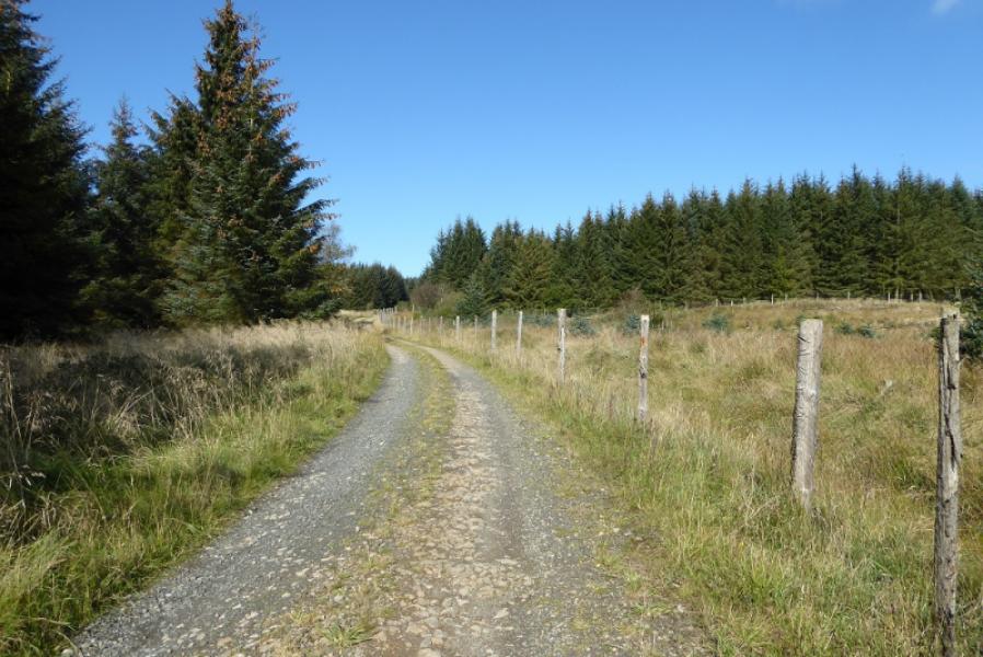
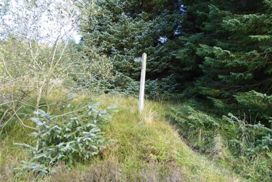
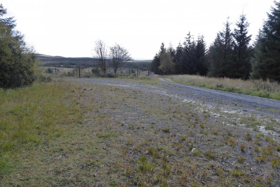
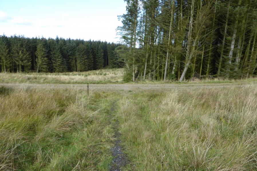
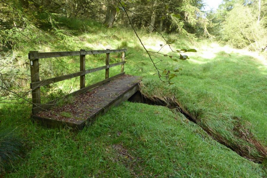
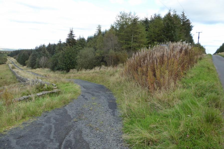
(2) Follow the track towards the forest which is the opposite direction to East Stonefolds. Follow the track into the forest, some of which has been felled. This is easy walking. After a track on the right, the Pennine Way leaves the track at a signpost and heads deep into very boggy forest. The path is easy to follow but many detours will be necessary and it is hard going. After a slow 1 km, leave the forest and start heading across the boggy Haughton Common. Pass a walled enclosure with some trees inside to reach a fence where more forestry is entered.
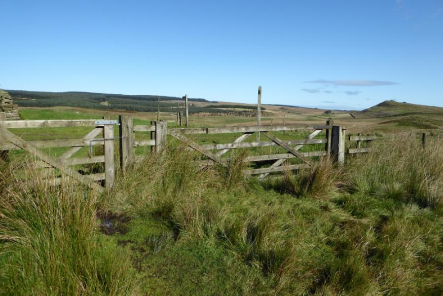
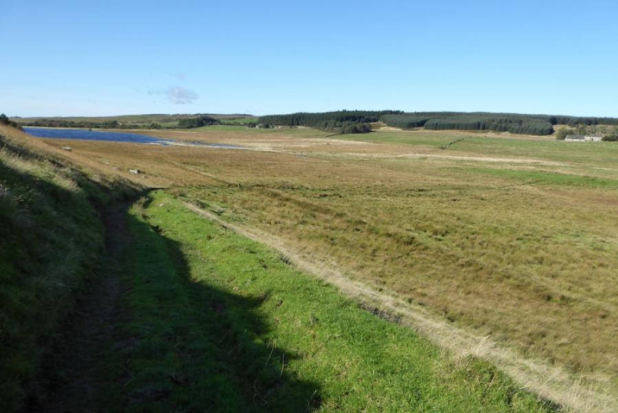
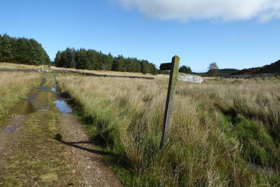
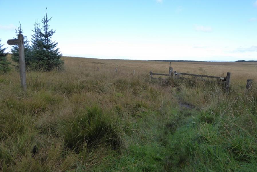
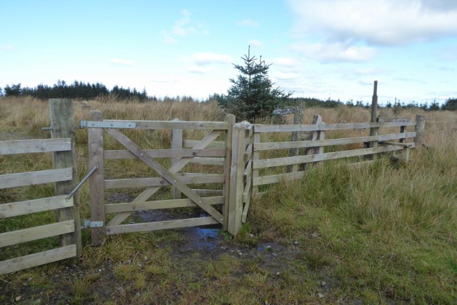
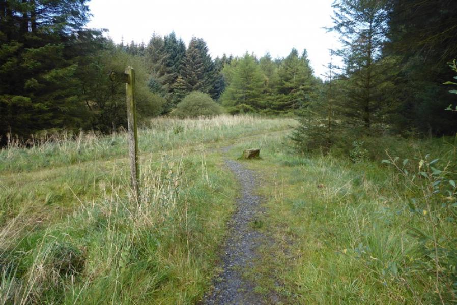
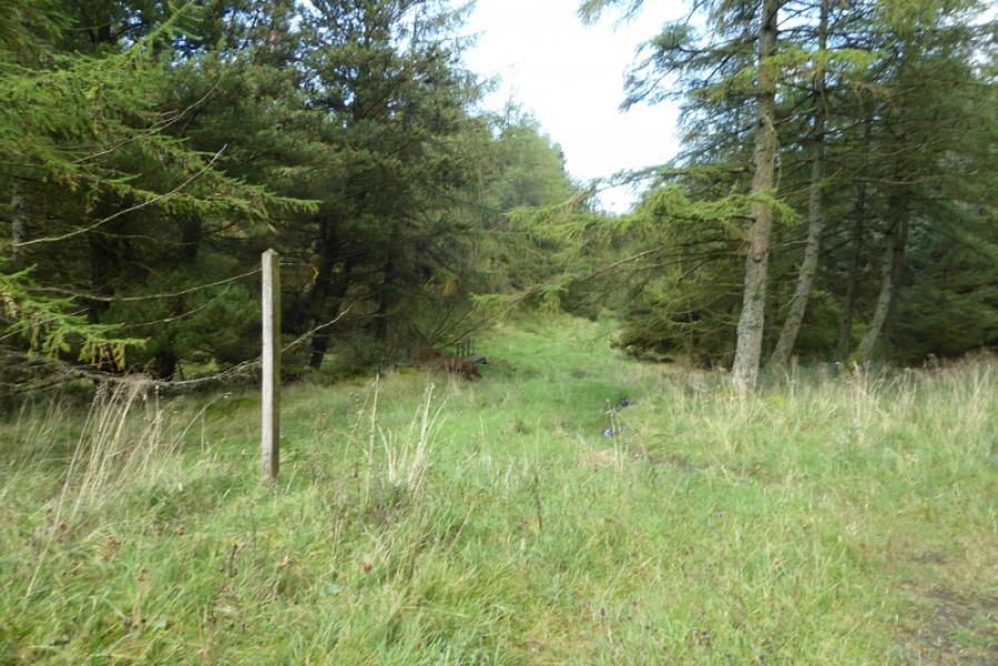
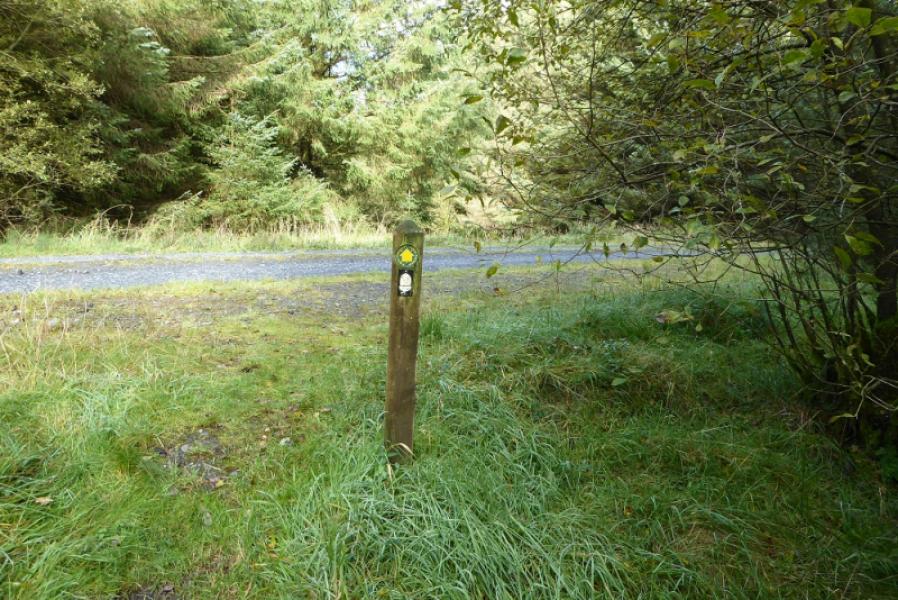
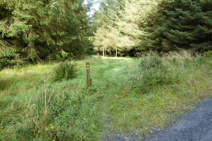
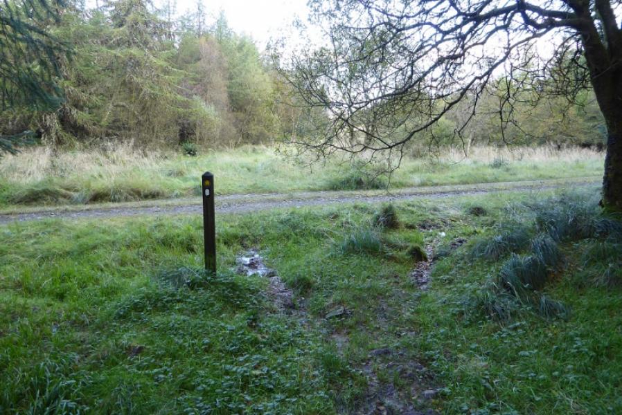
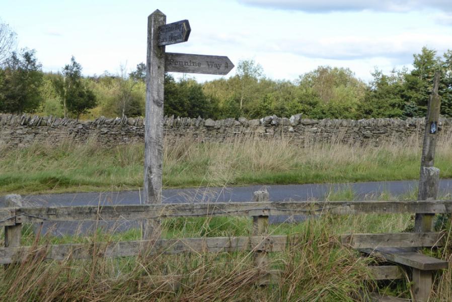
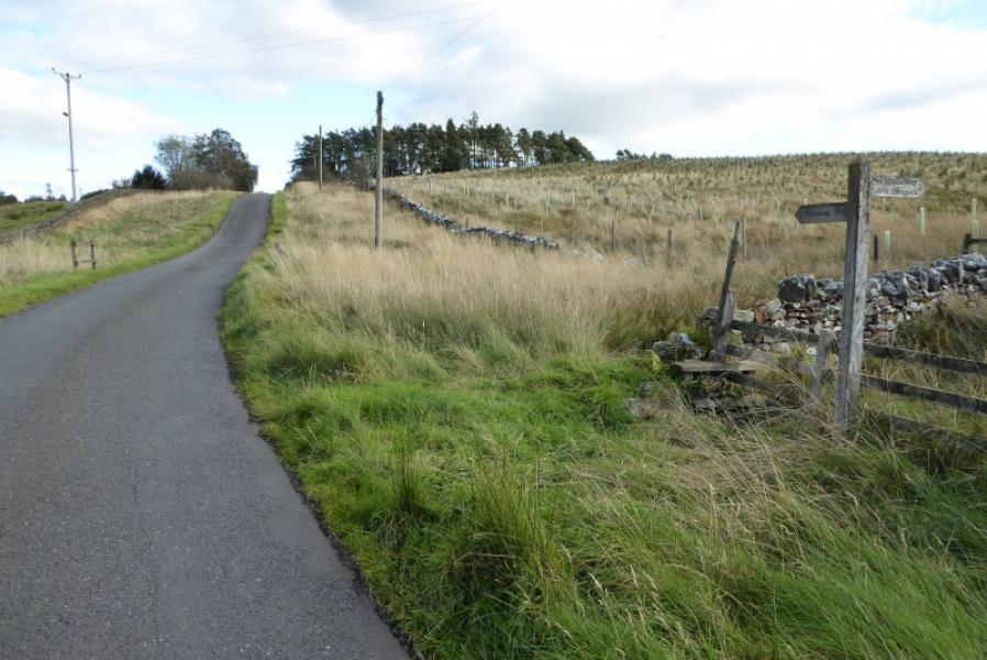
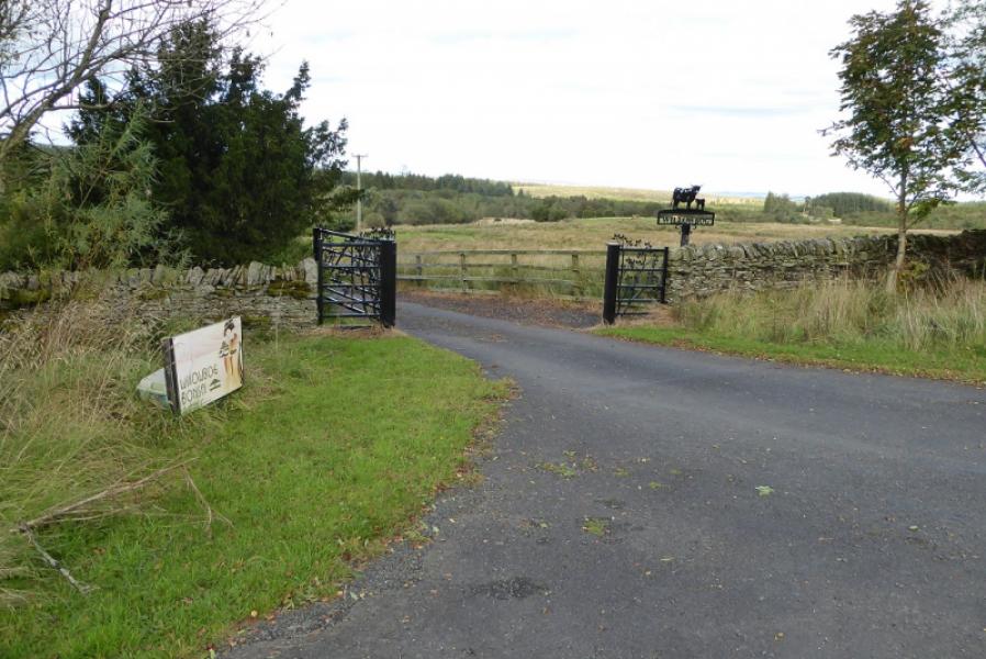
(3) Walk through the well signed forest which is easy to walk at first. Cross a track then join another after a small rock. Almost immediately, fork left off the track to a small footbridge and into more boggy forest. Cross tow more tracks before walking along the edge of the forest then finally leaving the trees behind to reach Ward Lane, the public tarmac road. Turn right, walking uphill, and pass the entrance to Willowbog. Soon after, a track forks left which is the continuation of the Pennine Way to Bellingham. This is virtually opposite the entrance to the Falconry.
Notes
(a) This route was walked on 2nd October, 2019.
Photos - Hover over photo for caption. Click on to enlarge. Click on again to reduce.