Get Lost Mountaineering
You are here: England » Pennine Way » 6. Bellingham to Kirk Yetholm
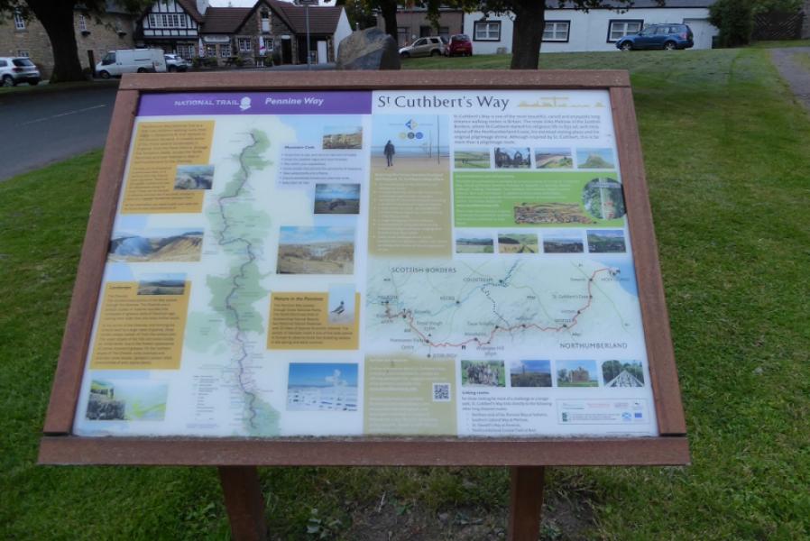
6. Auchope Mountain Refuge Hut to Kirk Yetholm via High Level Pennine Way
6. Auchope Mountain Refuge Hut to Kirk Yetholm via High Level Pennine Way
Start/Finish
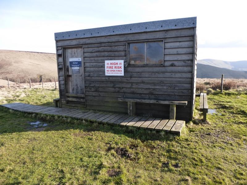
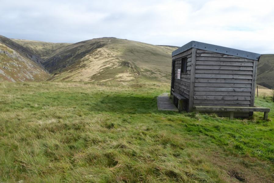
Auchope Mountain Refuge Hut at NT 877 202. If one is continuing from the previous section from Windy Gyle then this is a convenient stop on the way, As a stand alone section, one would have to start at either Cocklawfoot and walk up Auchope Rig, walk up the College Valley from Hethpool or start at Kirk Yetholm. The Kirk Yetholm approach means walking the route both ways. If a friendly driver is available, the Cocklawfoot start is the shorter and easier. The ascent from here is not described but the descent down Auchope Rig to Cocklawfoot was described in the section over Windy Gyle. If wanting to walk from Windy Gyle to Kirk Yetholm in one go then the starting point should be in the Coquet Valley where an easy ridge leads up to Windy Gyle.
Distance/Time
11 km About 4 hours
Peaks
Auchope Mountain Refuge Hut, 498 m, NT 877 202.
The Schil, 601 m, NT 870 223.
OL 16: The Cheviot Hills. OS 74: Kelso, Coldstream, Jedburgh & Duns
Introduction
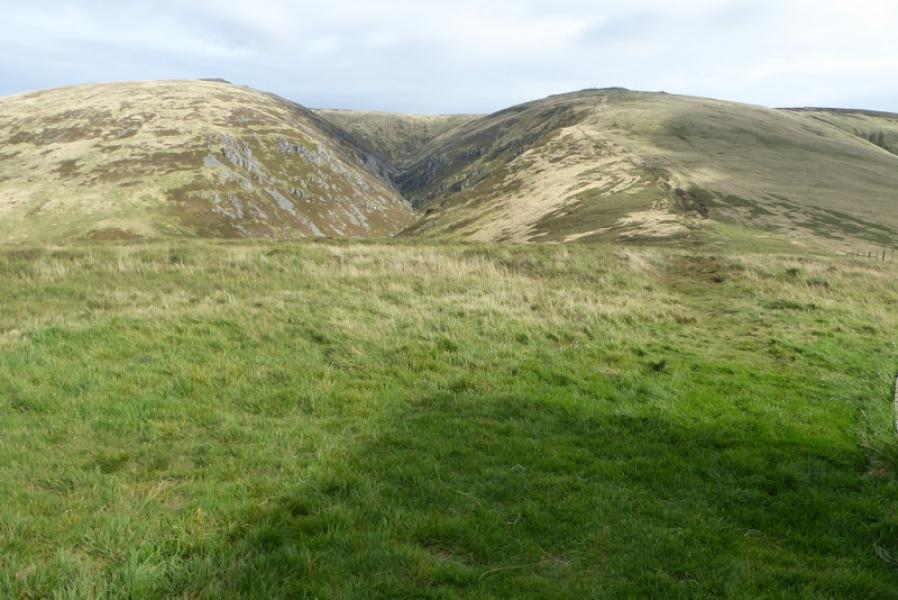
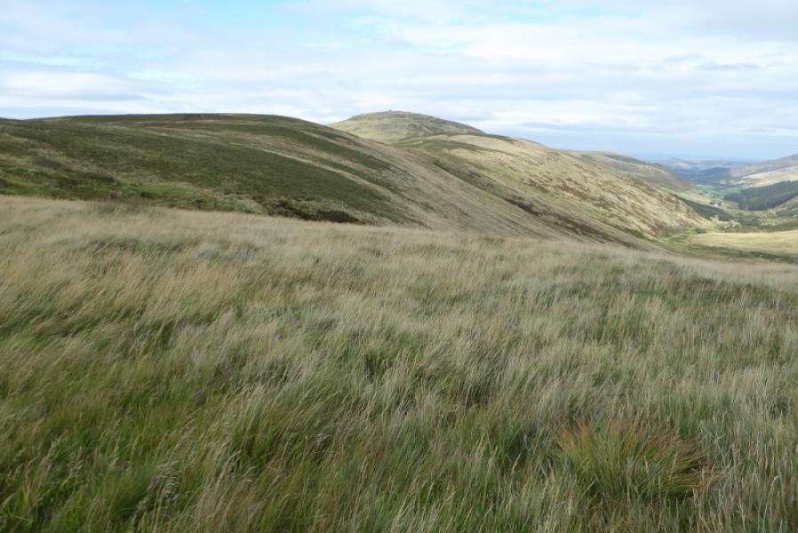
This is the final section of the Pennine Way which uses the Main High Level Route where the Pennine Way splits below Black Hag to the north of The Schil. The Auchope Mountain Refuge Hut offers excellent views into Hen Hole – a ravine/corrie below The Cheviot. The Schil is quite an attractive summit with several outcrops. Expect occasional boggy patches. The whole route is fairly well signposted but clear weather is recommended for the views.
Route
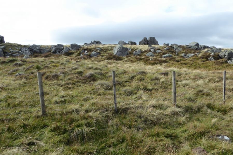
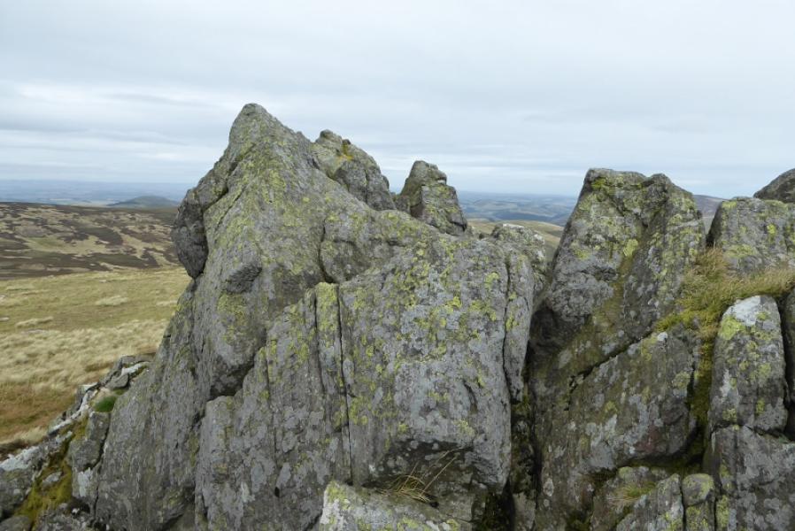
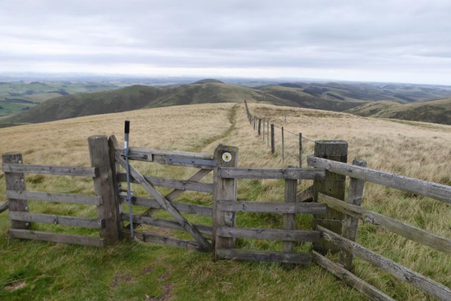
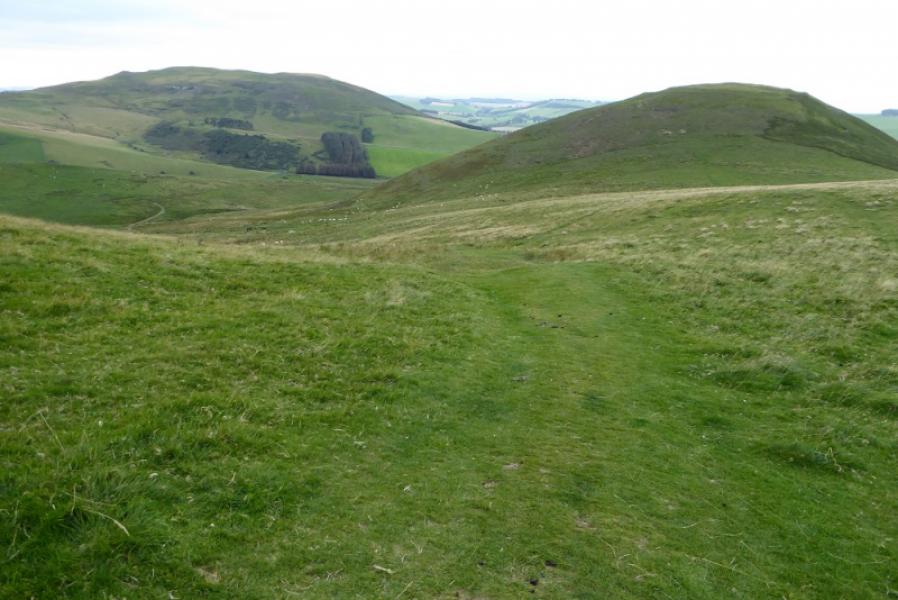
(1) From the Auchope Mountain Refuge Hut, 498 m, Which has benches outside and is usually unlocked, walk roughly N on the obvious path which passes over some minor tops before reaching the foot of the S ridge of The Schil. Ascend up the path to the summit area where there are several outcrops and reach a stile. Cross over and walk the short distance to a pointed outcrop which is the summit of The Schil, 601 m. There is no cairn on the highest point.
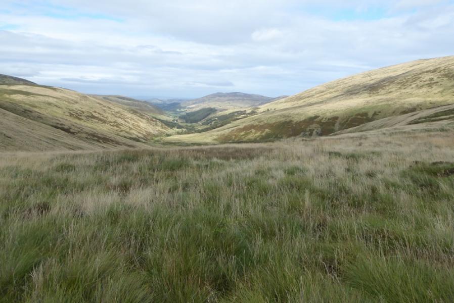
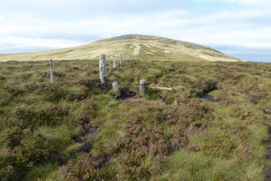
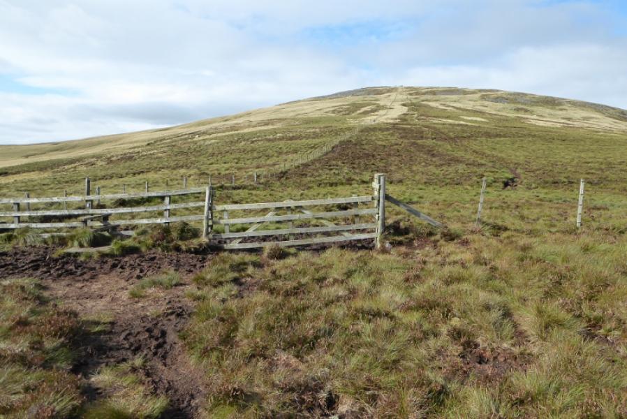
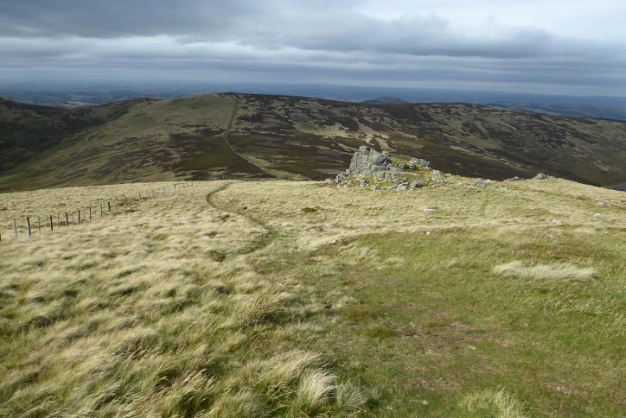
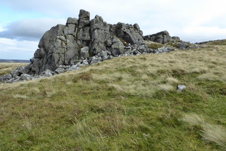
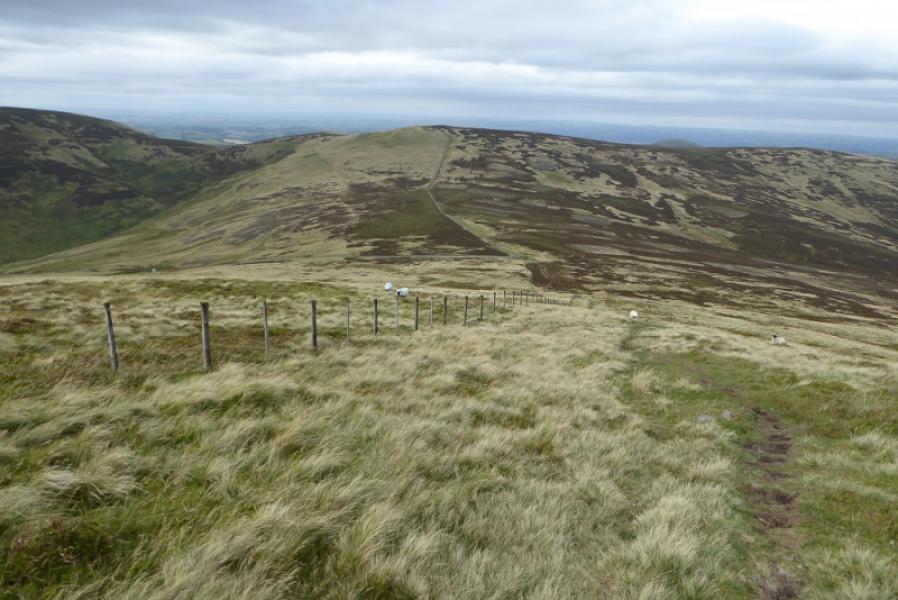
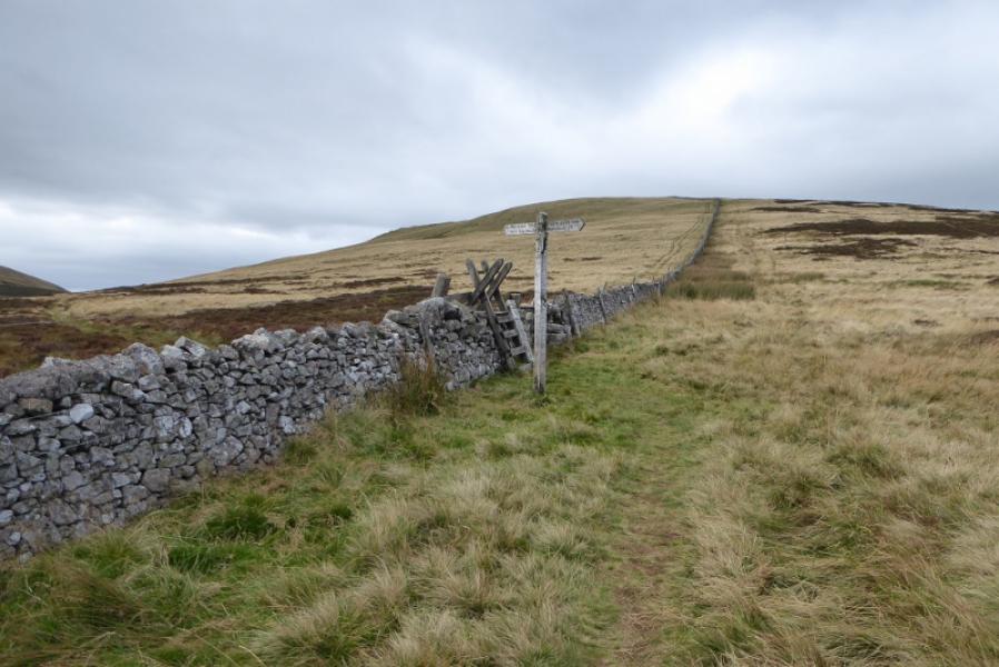
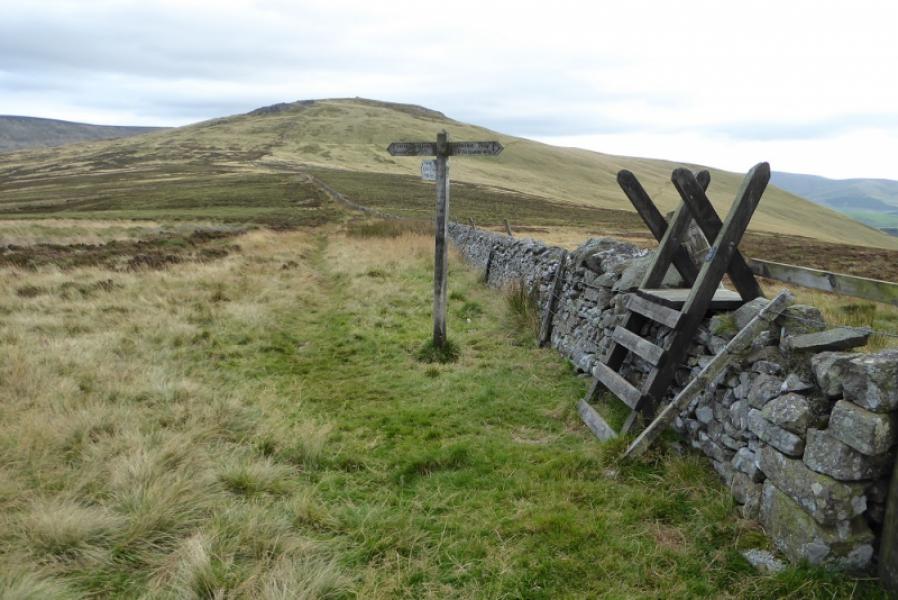
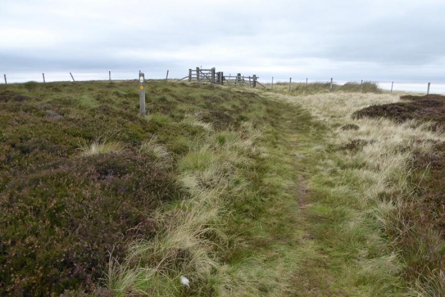
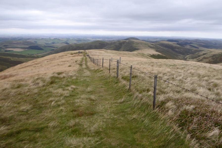
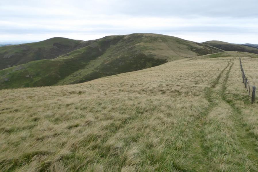
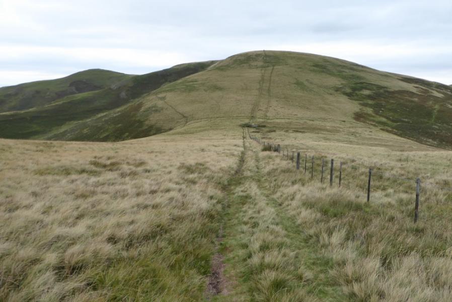
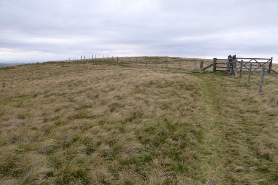
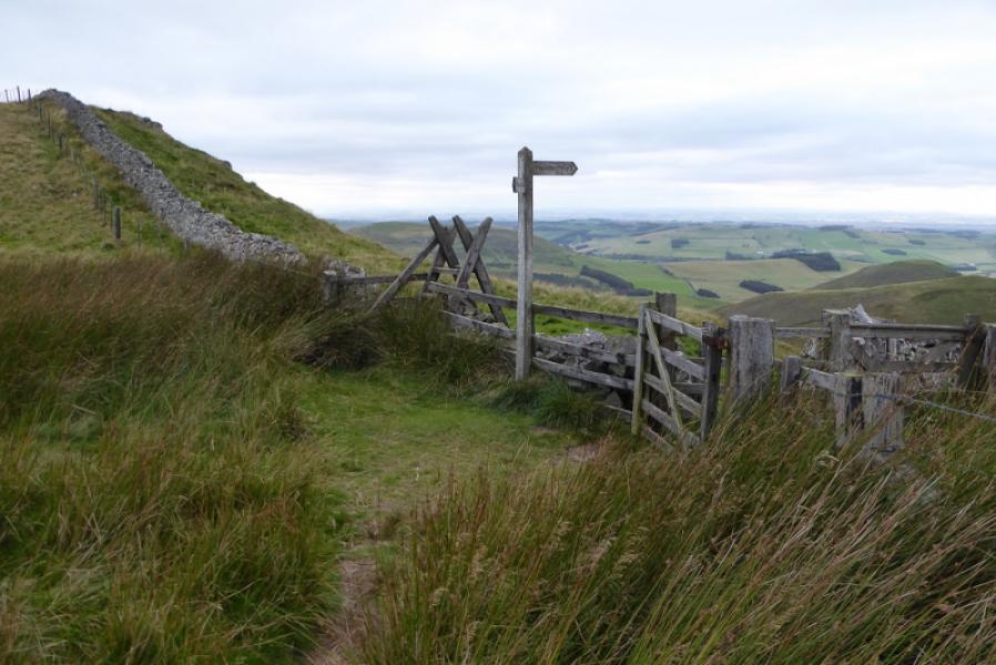
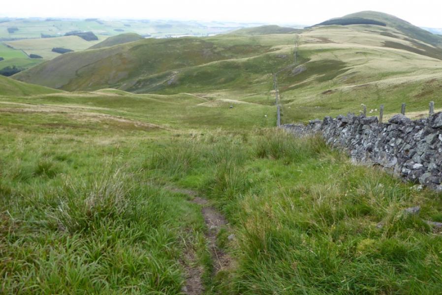
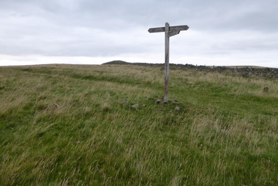
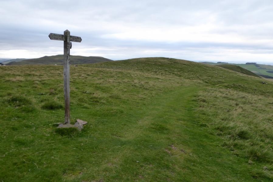
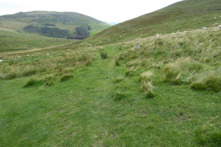
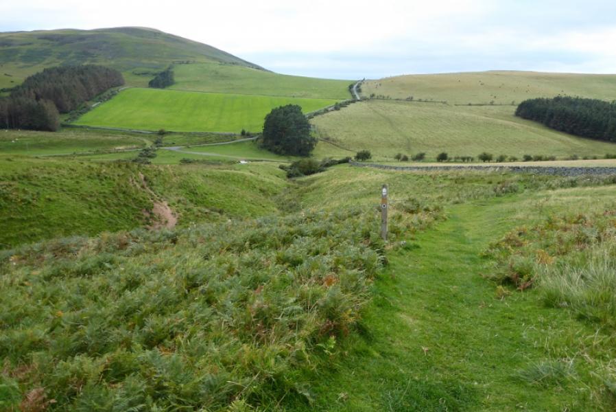
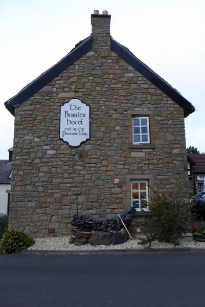
(2) Descend down the N side of The Schil passing a large outcrop off to the right. Follow a wall across the col to a stile (signed). Cross over and continue on the Pennine Way to reach a sign where the Pennine Way splits. Follow the High Level option which climbs gently for a short distance before descending along Steer Rig to reach the foot of White Law. Make the short but steep ascent to the summit crest following a fence which, high up, turns left at about the highest point. Continue along the crest descending to a col where the Pennine Way leaves the crest and descends due N on a rough path. Follow the path down and up, never straying far from the wall, to reach a signpost where one goes left following a wide grassy path. This descends gradually, heading for the next peak called Green Humbleton but leaves the crest just before the ascent of this peak would start. Follow the grassy path which traverses to the left of Green Humbleton. Lower down it becomes a narrower stony path which leads down to the road to meet up with the Low Level Pennine Way. Follow the road to Kirk Yetholm. The Border Hotel is the official end of the Pennine Way.
Notes
(a) This walk took place on 18th September, 2019.
Photos - Hover over photo for caption. Click on to enlarge. Click on again to reduce.