Get Lost Mountaineering
You are here: England » Northumberland
Byrness to Chew Green via Pennine Way returning via Border County Ride
Byrness to Chew Green via Pennine Way returning via Border County Ride
Start/Finish
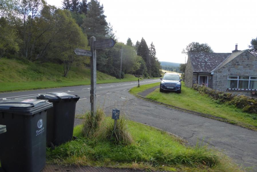
Small parking area in front of Byrness Church just off the A68 main road between Corbridge and Jedburgh. If coming from the south, the turning is just after a derelict petrol station where there is plenty of extra parking if needed.
Distance/Time
16 km About 6 - 7 hours
Peaks
Byrness Hill, 414 m, NT 774 033.
Ravens Knowe, 527 m, NT 780 062.
OS 80: Cheviot Hills & Kielder Water. OL 16: The Cheviot Hills.
Introduction
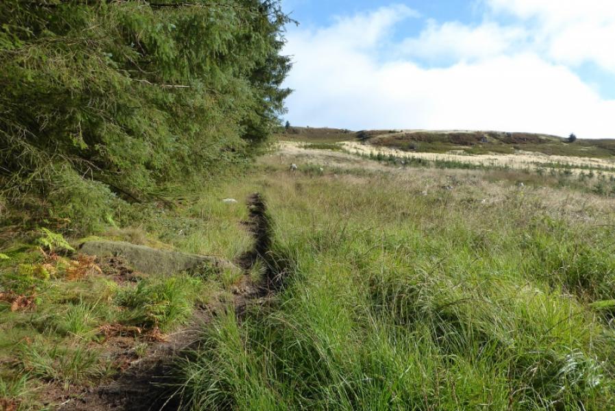
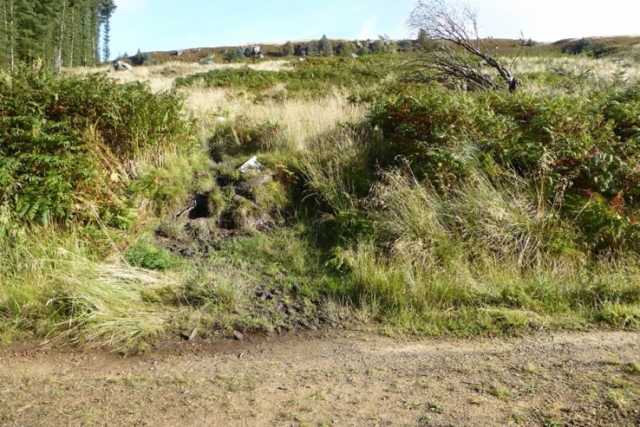
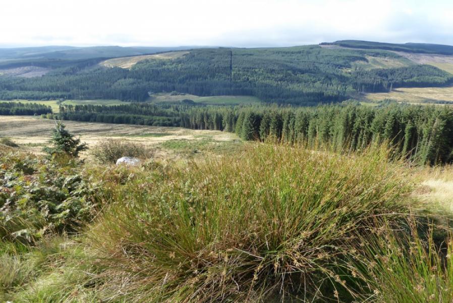
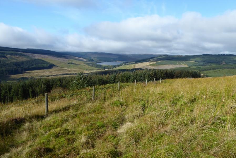
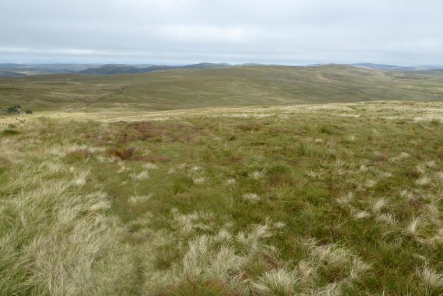
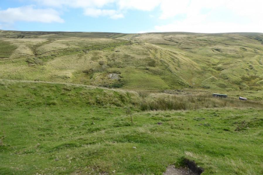
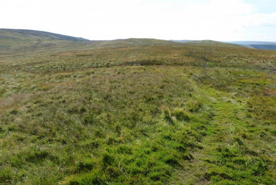
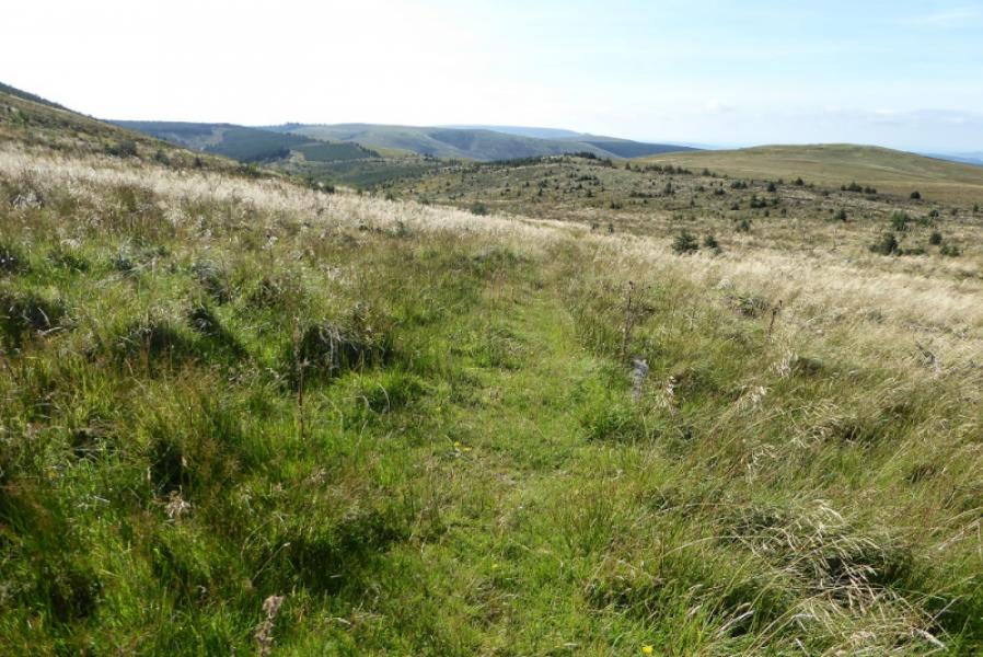
Once on the crest, this is a pleasant walk from Byrness Hill to Chew Green. Unfortunately, the ascent from Byrness to Byrness Hill is steep, rough and boggy. It may be the most brutal ascent on the whole Pennine Way and would be even more unpleasant to descend hence a return via Spithope Bothy. On a clear day there are good views to other ridges. Chew Green is the remains of a Roman Camp which some may wish to explore although there is nothing obvious to see from the Pennine Way. On the crest, the groundis mainly good with the occasional boggy patch. The route crosses the England – Scotland border below Ogre Hill and again just before Chew Green.
Route
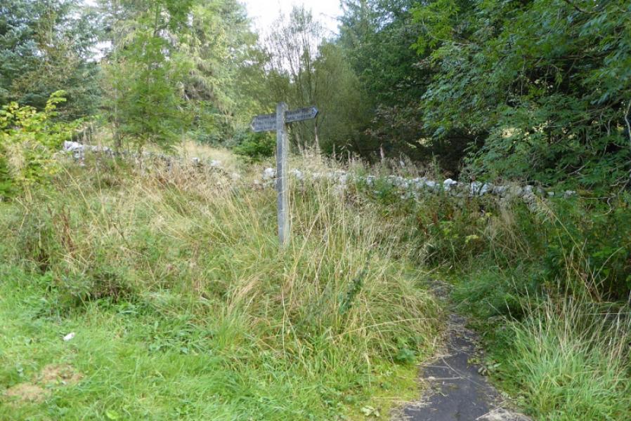
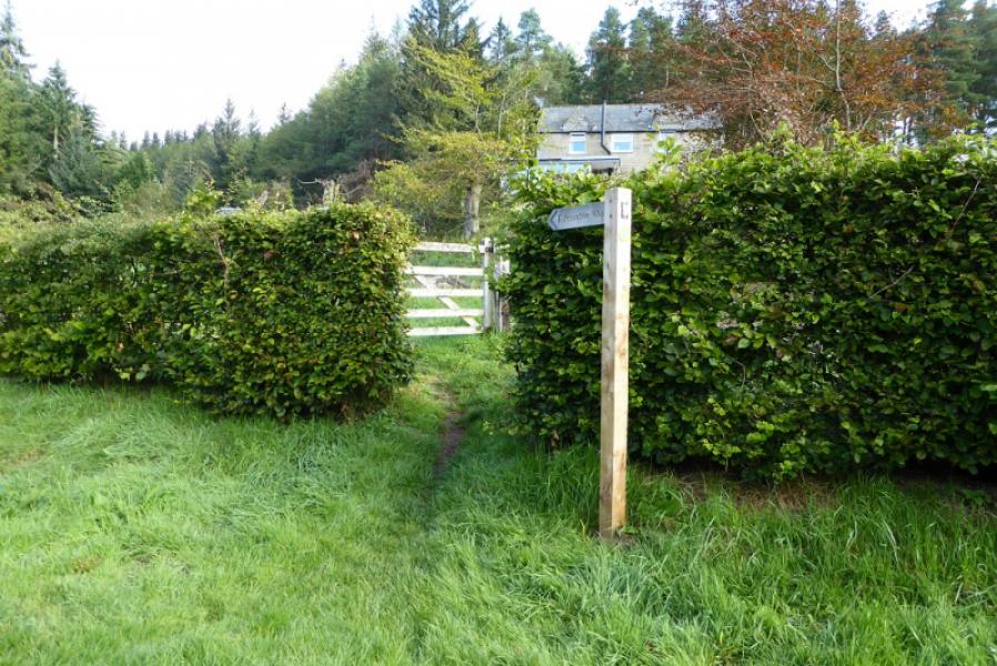
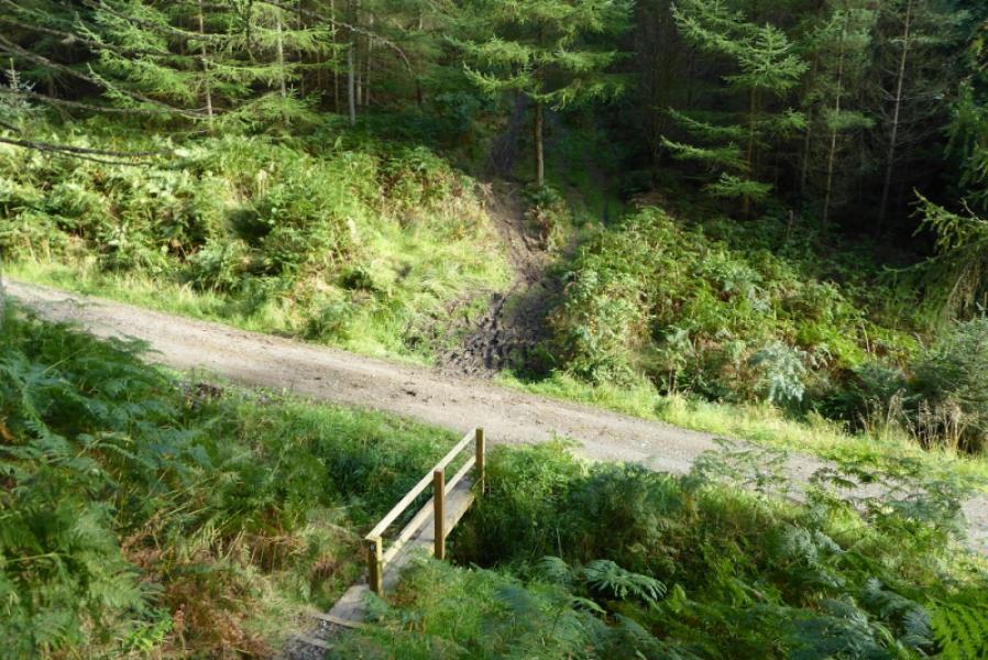
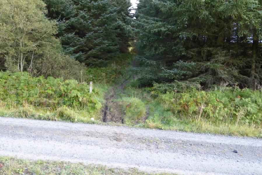
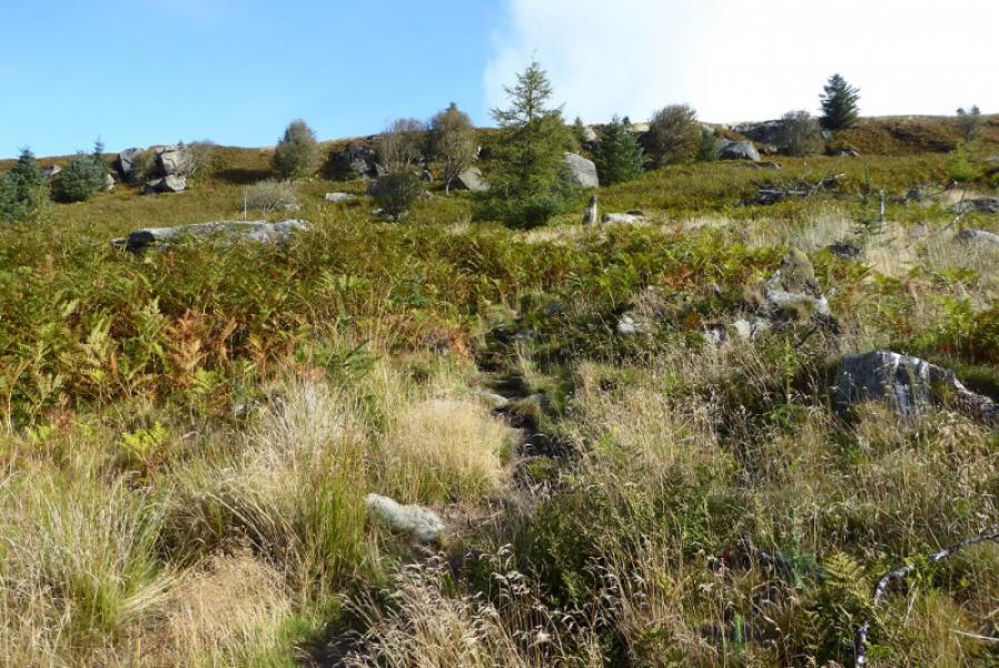
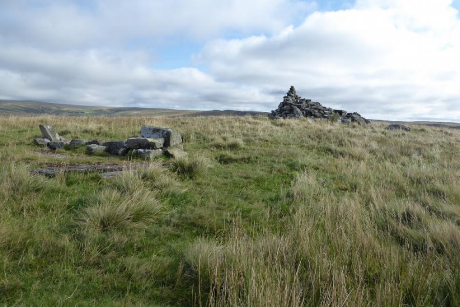
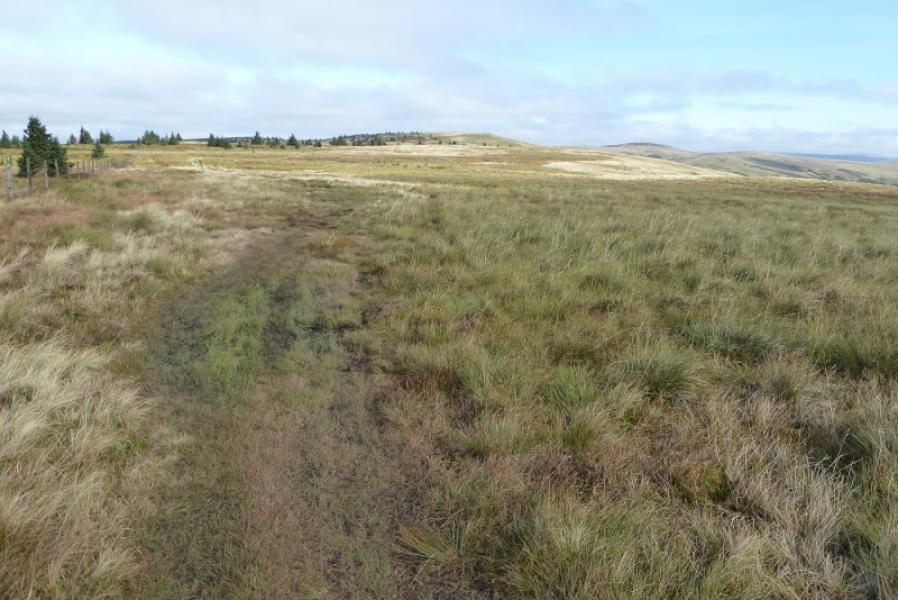
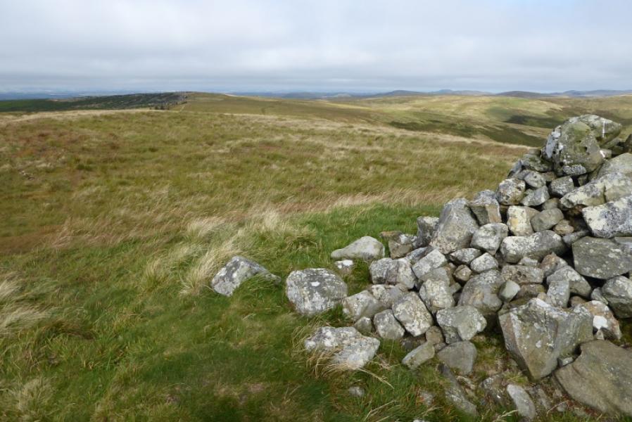
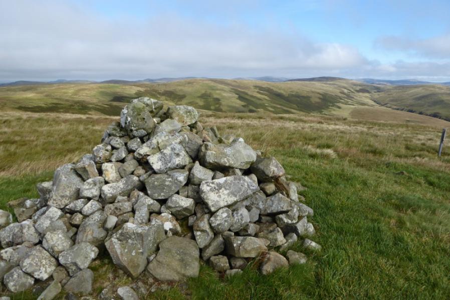
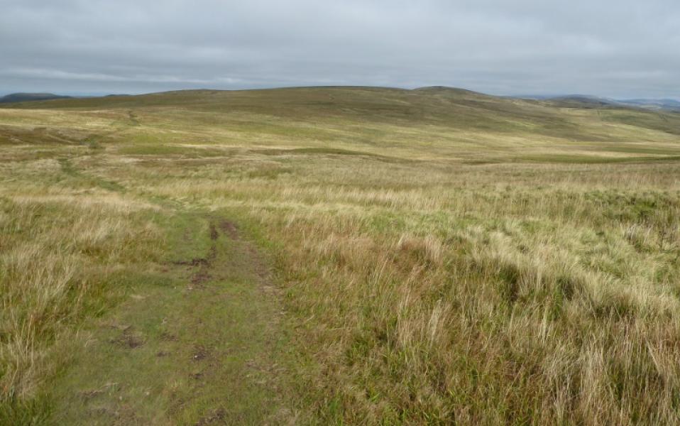
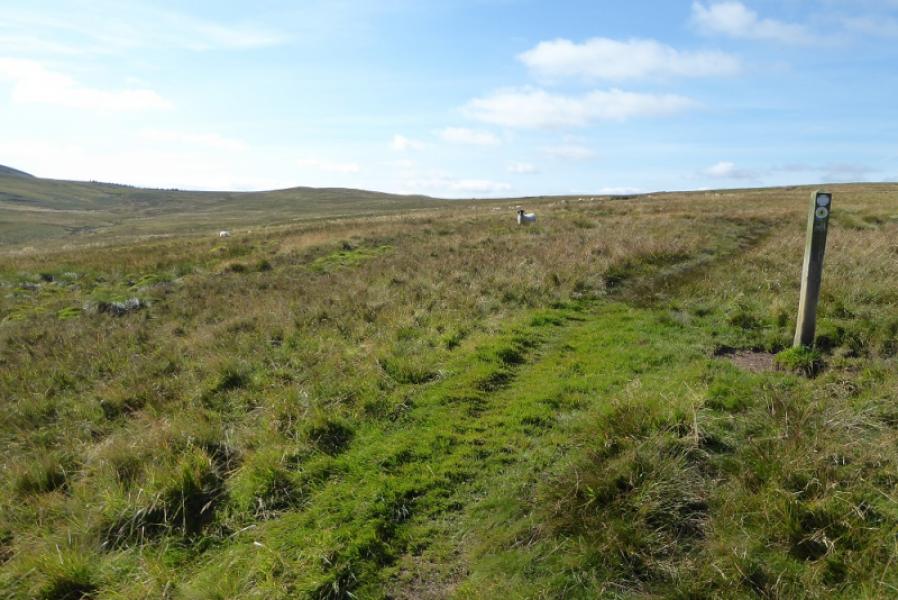
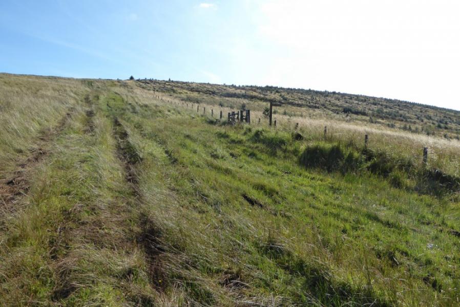
(1) From Byrness Church, walk NW along the A68 for a short distance to reach a signpost on the opposite side of the road which indicates where the Pennine Way path leaves the A68. Follow the path which takes a slight detour to avoid a house and much of its grounds. If you end up back on the A68 then you have missed a signpost. Cross a forestry track and start ascending through the trees,. Descend to cross a bridge just before a second track after which the path becomes quite boggy thanks to motorcyclists. Continue up, crossing 2 further tracks then head up rough ground towards Byrness Hill on a ridge high above. This section of ground is often overgrown and littered with rocks and boulders. Care is needed with a few steps on the way before the path reaches better ground below the summit of Byrness Hill. A little further there is a small cairn then a larger one which is the summit of Byrness Hill, 414 m.
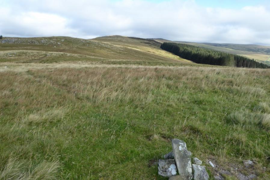
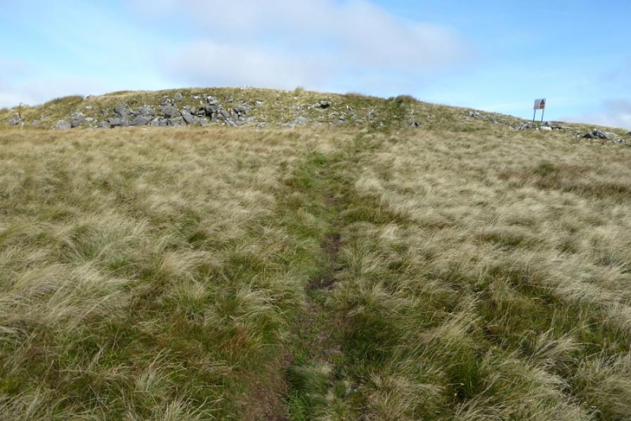
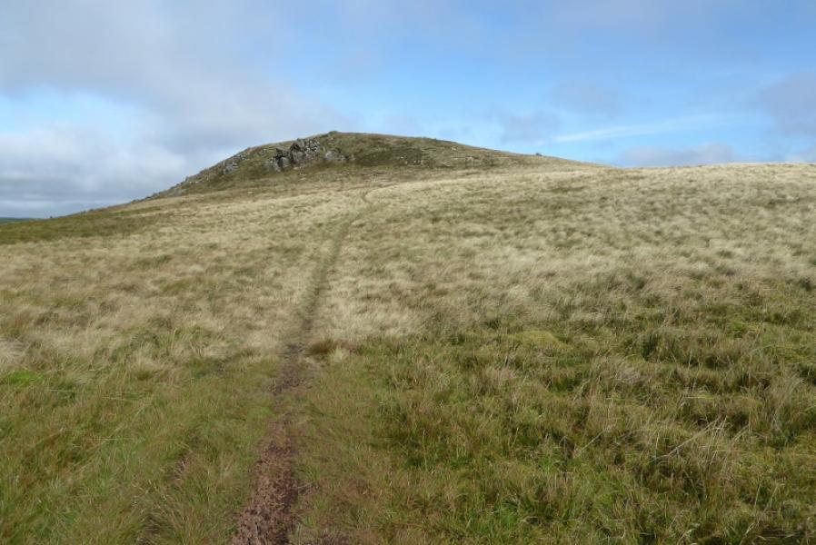
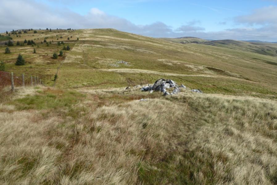
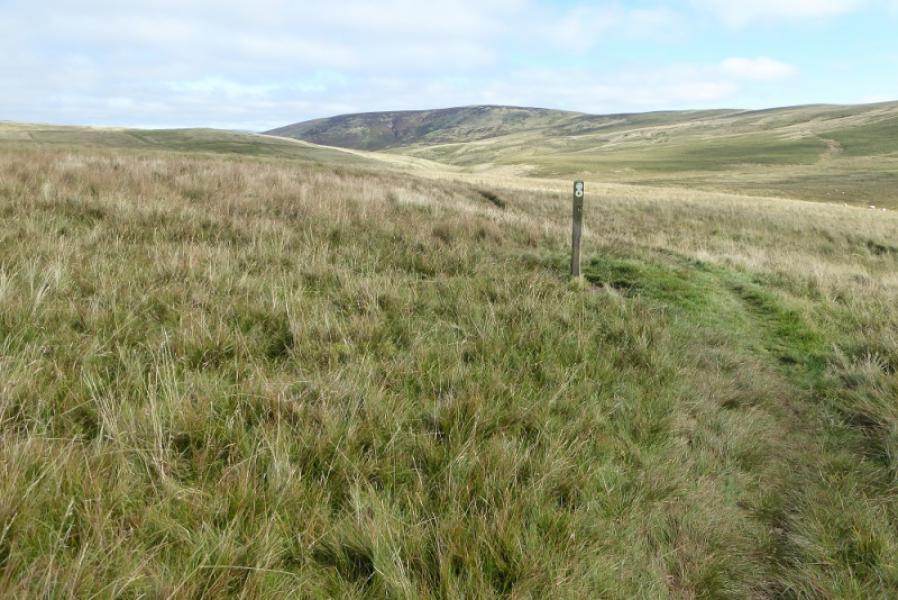
(2) Continue N, on the grassy path, going over Saughy Crag, Houx Hill and Windy Crag before starting the ascent up Ravens Knowe. On the top is a large cairn which is the summit of Ravens Knowe, 527 m. It is about 3 km from Byrness Hill.
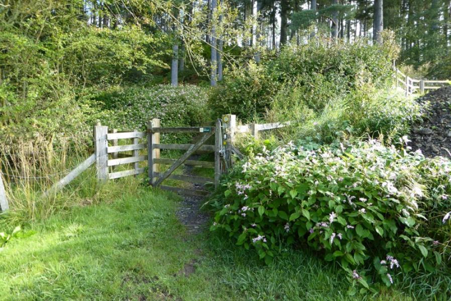
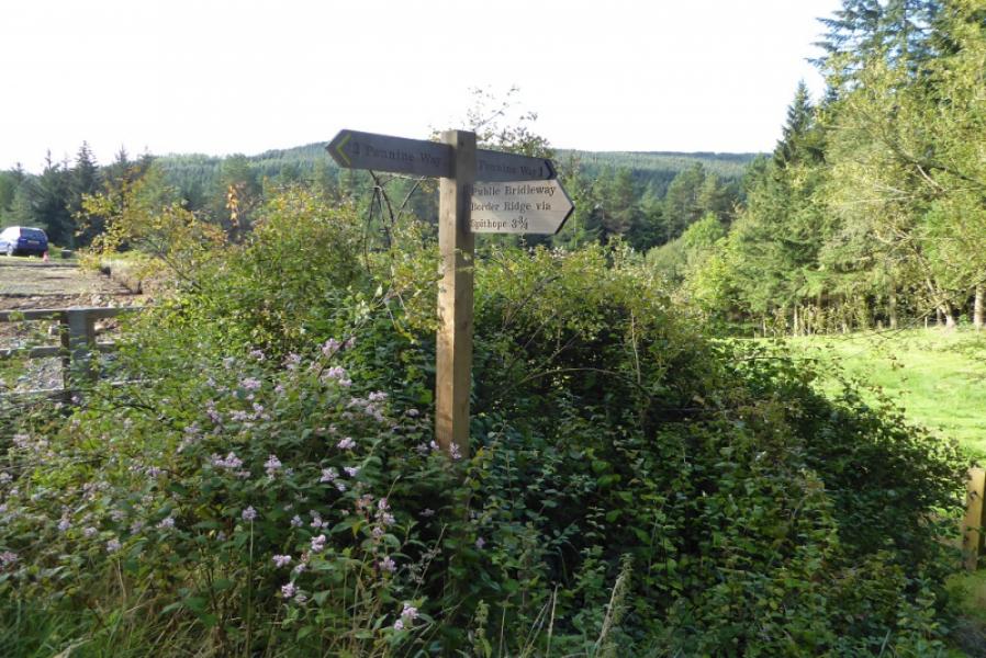
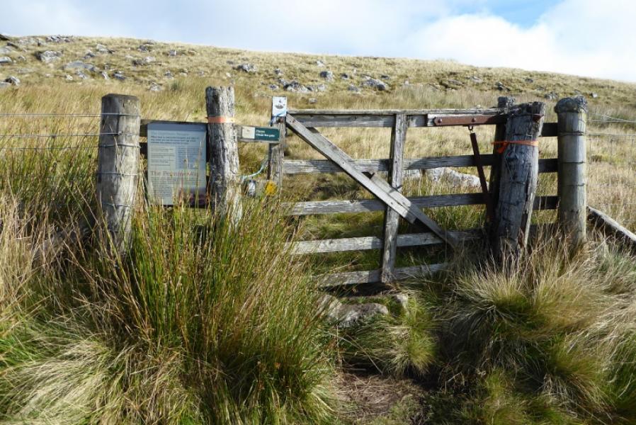
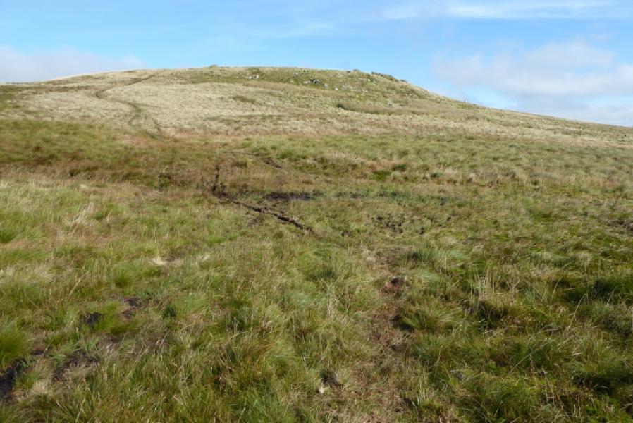
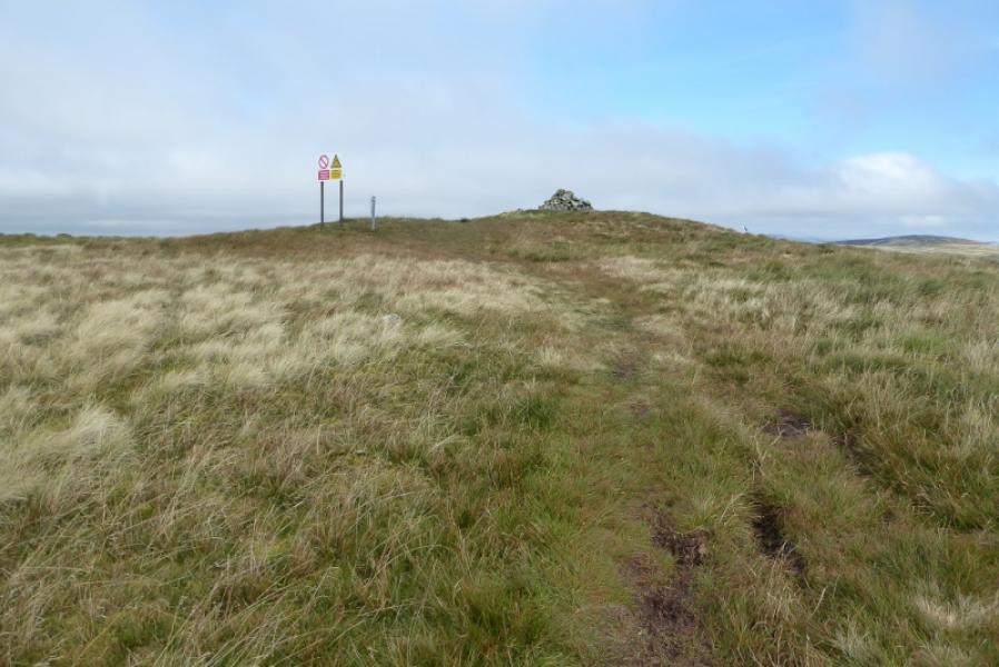
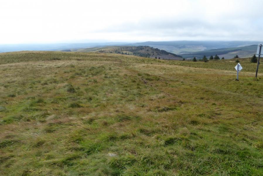
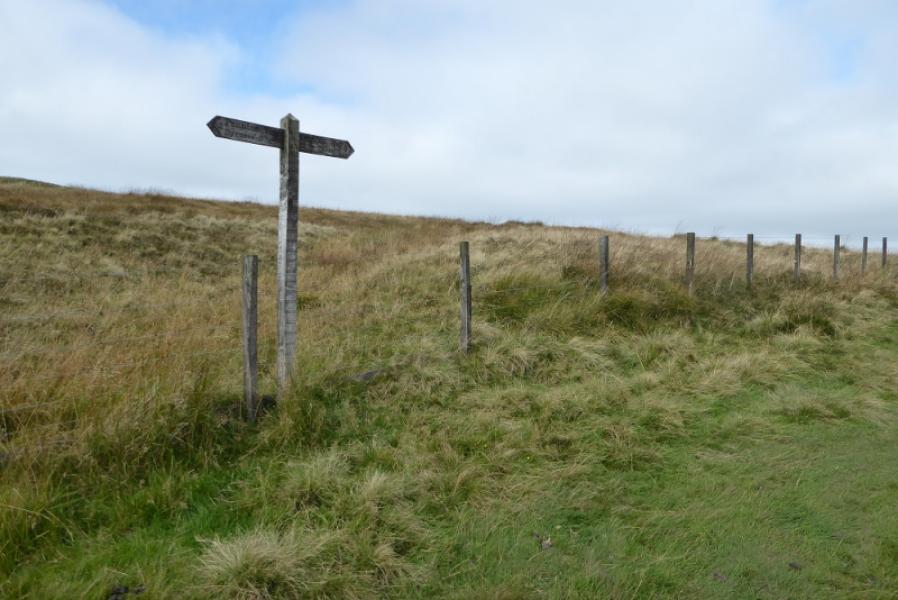
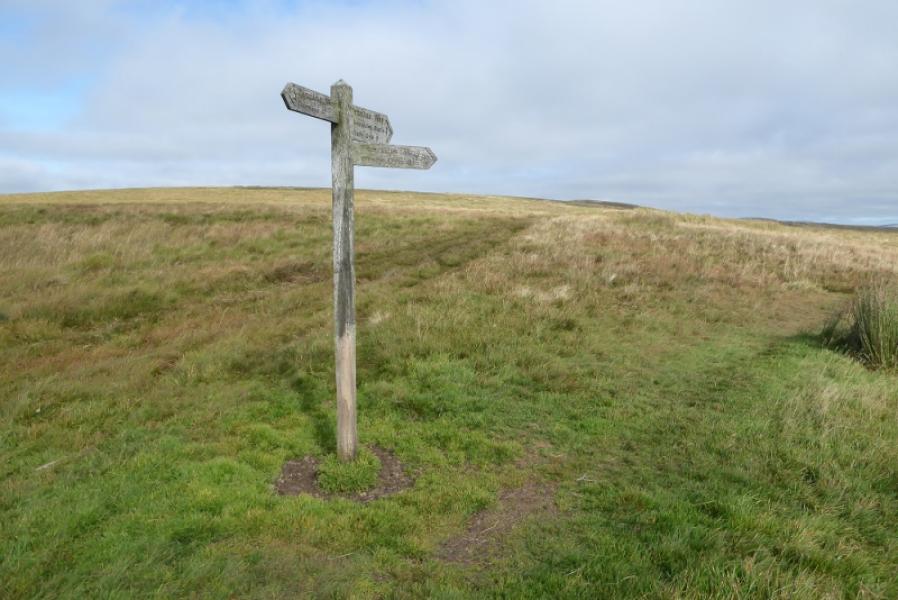
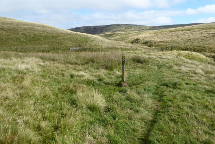
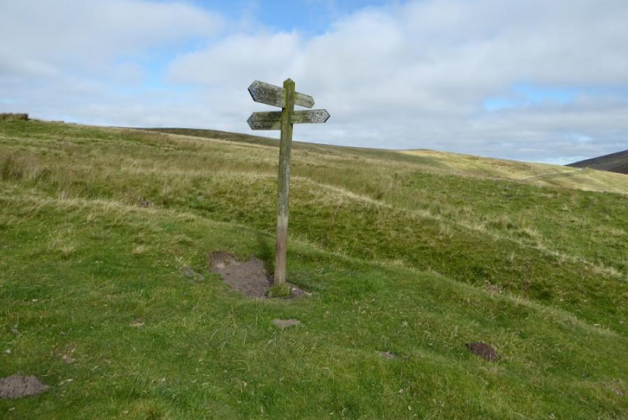
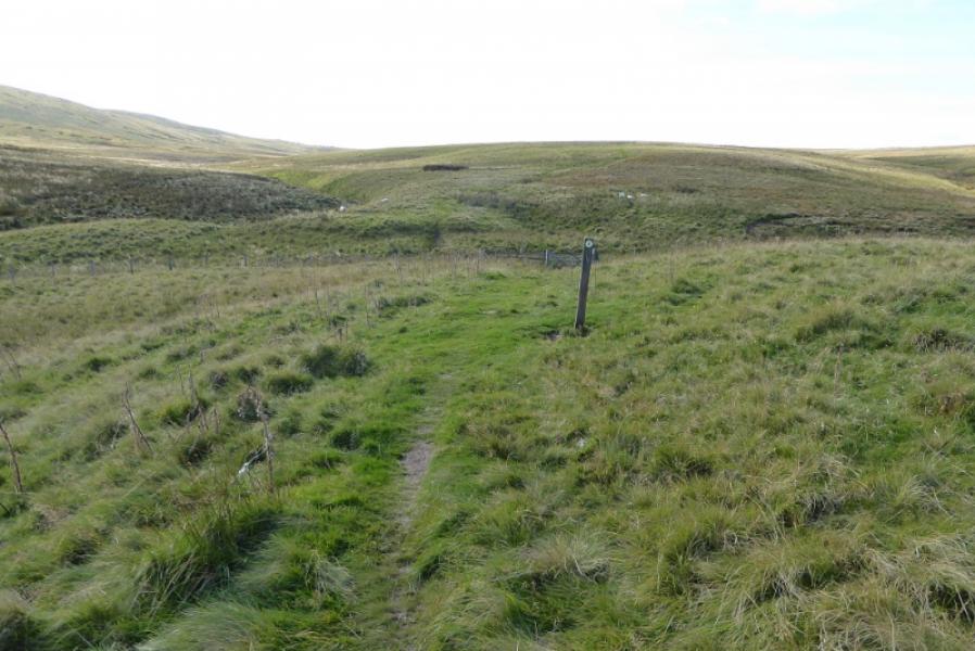
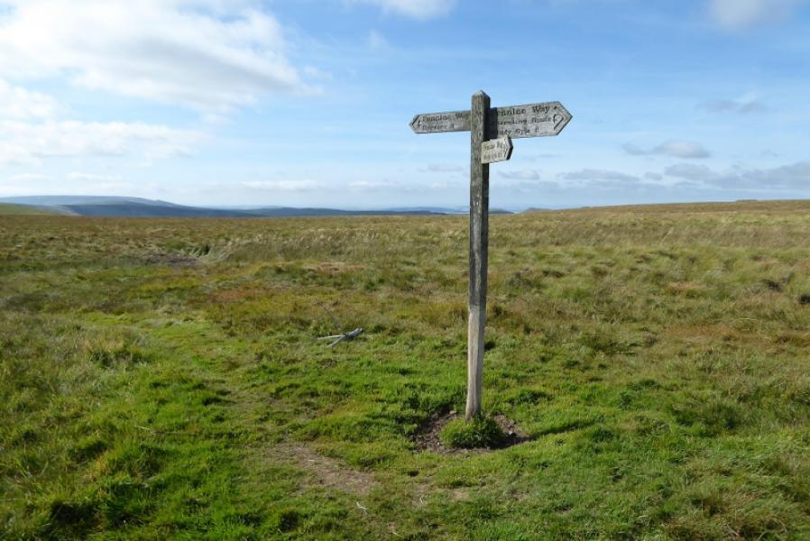
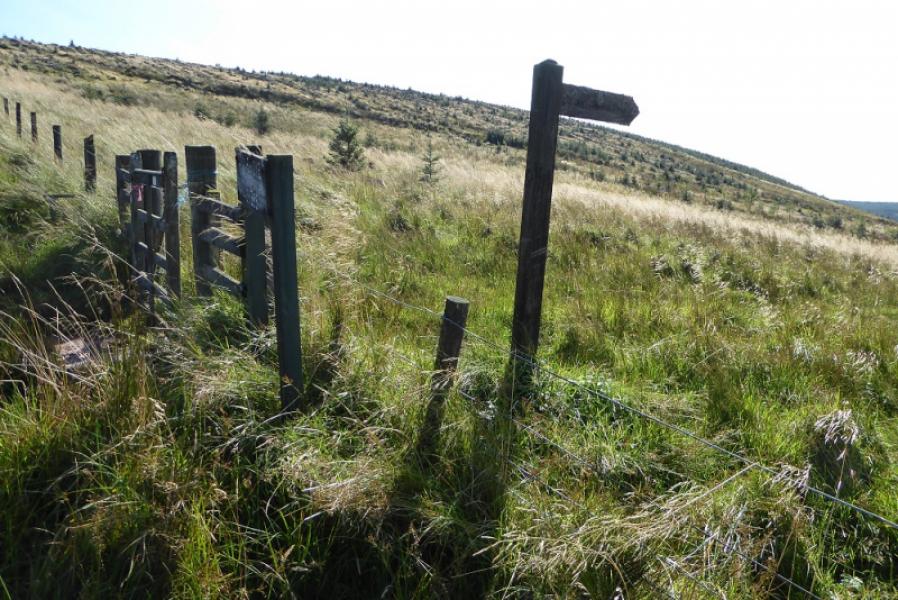
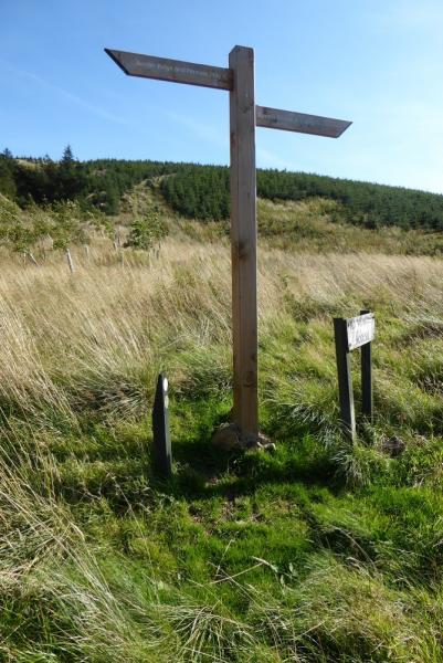
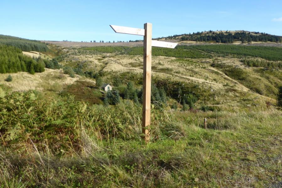
(3) Descend NNW then ascend onto Ogre Hill before descending to a col, pasing 2 signs for paths on the descent. Pass through a boggy gate and enter Scotland. Soon after, the path turns ENE and reaches a signpost near Coquet Head. Here the Pennine Way splits. Take the right fork; the left fork ois labelled alternative route. Follow the right fork to reach a gate where one crosses back into England. Abut 500 m further, reach a signpost where the Coquet Valley is straight on (the road is fairly close). This is as far as this route goes on the Pennine Way. If continuing on the Pennine Way turn left at this signpost, NT 791 083. There is no mention of Chew Green at this signpost!
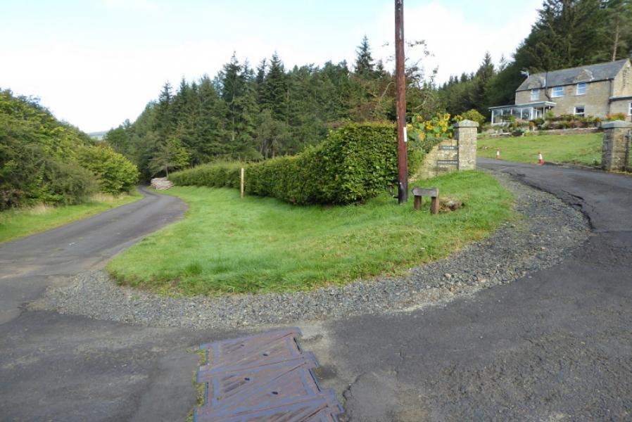
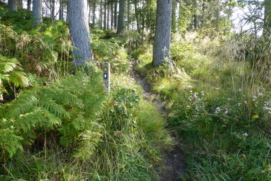
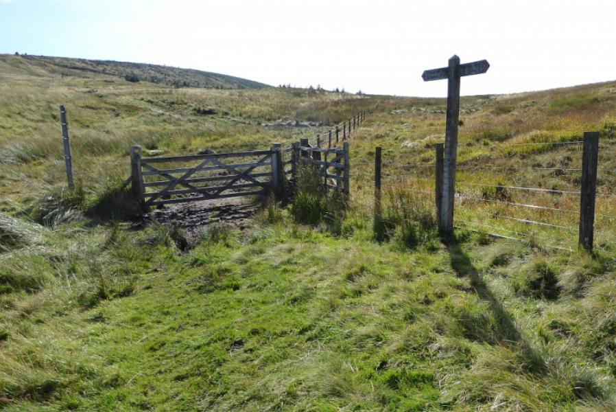
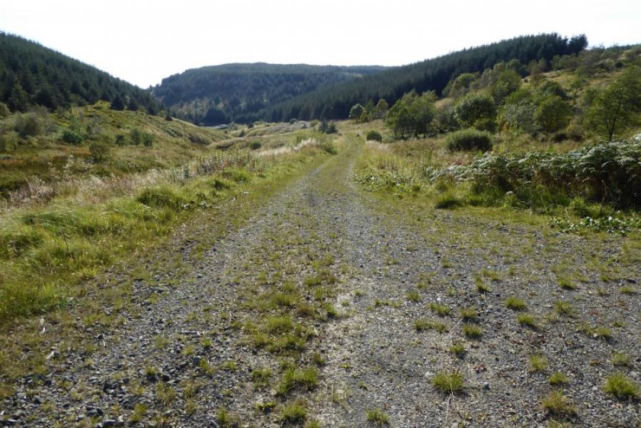
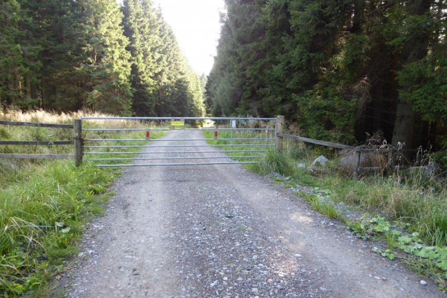
(4) Retrace back to below Ogre Hill and start its reascent. Look for the second sign going off right which is labelled Border County Ride. Cross the fence and follow the path, rough and overgrown in places, to reach a signpost just before a hairpin bend on a forestry track. The Border County Ride goes left but this route goes right and starts descending gently. Reach a signpost on a corner. Go straight on here – not signed! Follow the track down to pass Spithope Bothy set down to the left below a sign on the track. Continue down the track, climbing over a locked gate lower down before reaching the A68 to the NW of Byrness. Turn left and walk towards Byrness on the often busy A68. Pass the turning for the hostel. Soon after, a path appears and can be followed alongside the road back to the start.
Notes
(a) This walk took place on 19th September, 2019.
(b) An alternative way back to the road from the hairpin bend is to go left and follow the Border Country Ride back to where it crosses the Pennine Way which is then retraced back to the start. This avoids walking along the busy A68 but has not been checked out although it is clearly shown on OS 80.
Photos - Hover over photo for caption. Click on to enlarge. Click on again to reduce.