Get Lost Mountaineering
You are here: Ireland » North » Donegal to Sligo
Muckish via Miner's Track
Muckish via Miner's Track
Start/Finish
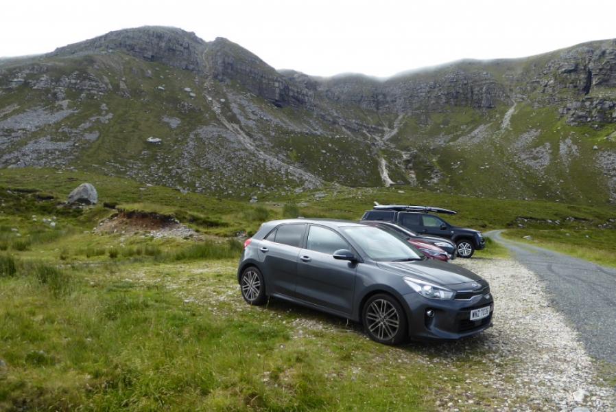
Almost at the end of the tarmac road from the N56. Leave the N56 about 1.5 miles north of Creeslough where a minor road goes W. It should be easy to locate as it starts opposite a cemetery and is signed fro Derryhariff. The road is quite good until it reaches a sand and gravel works. After that it is driveable (July 2019) with care at low speed even in an ordinary car but there are a few potholes so drive slowly. The road climbs steadily around several hairpins but nowhere does it become steep. There is some rough parking on the left below the obvious workings at the end of the road. Cars should be parked at right angles to the road. Don't be tempted to drive further as the road soon becomes a very rough track.
Distance/Time
3 km. About 3 – 4 hours.
Peaks
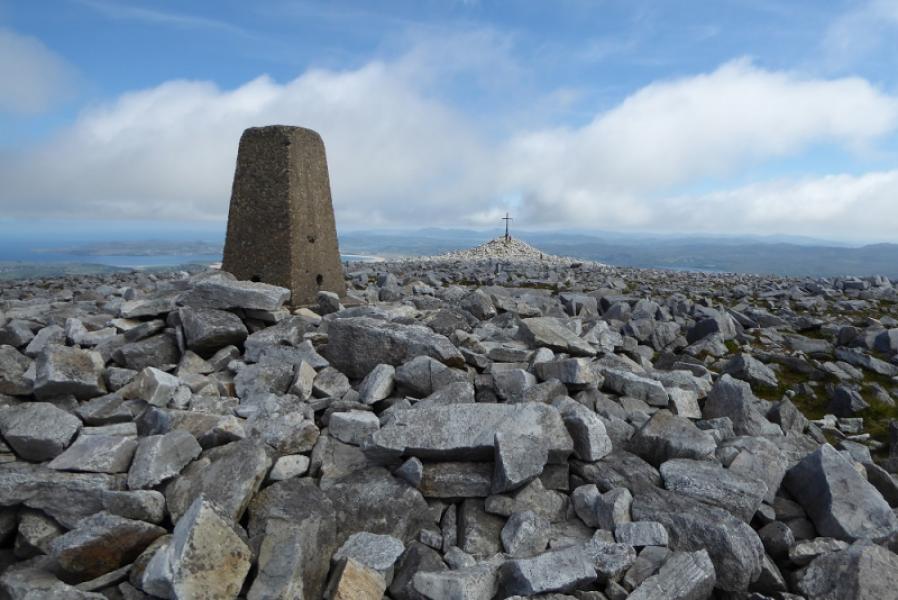
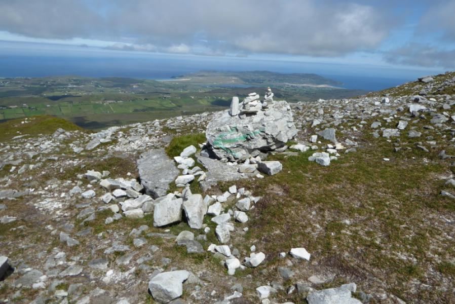
Muckish Mountain, 666 m, C 004 287. (Irish National Grid System)
Irish OS Discovery Series Map 2: Donegal (1:50000)
Introduction
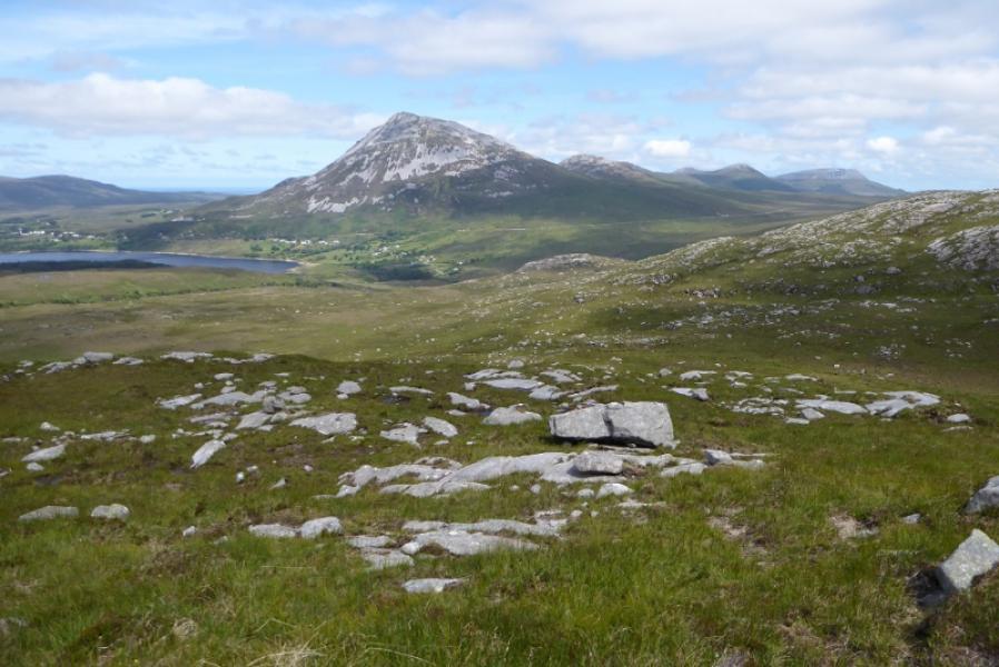
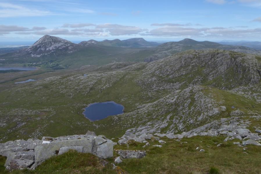
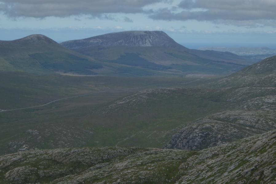
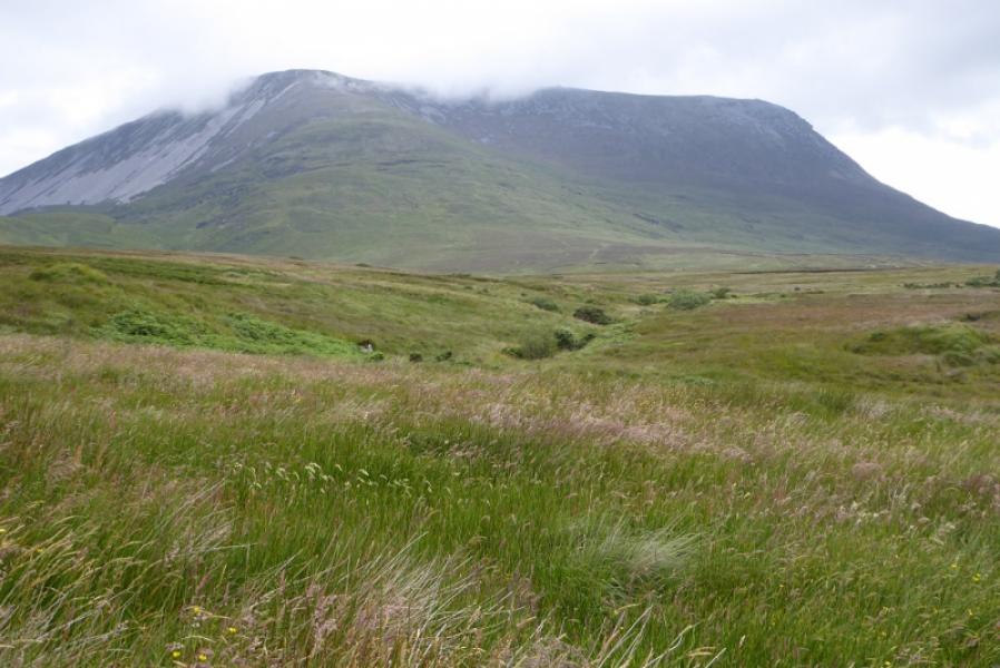
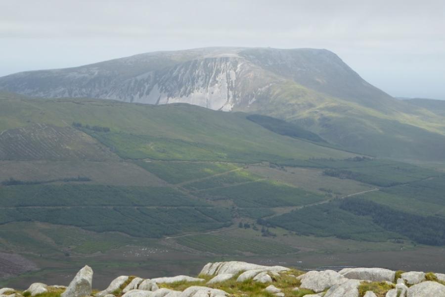
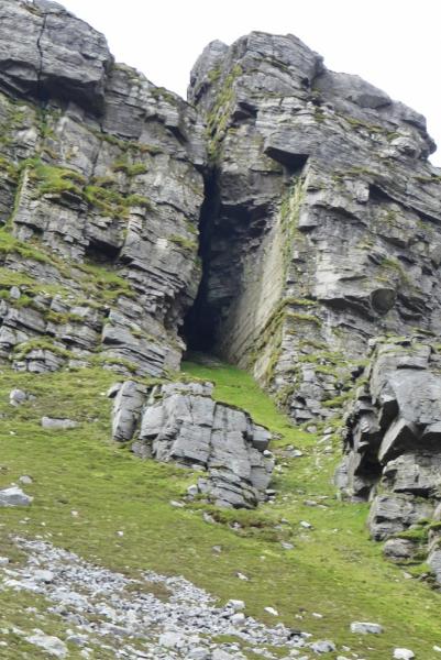
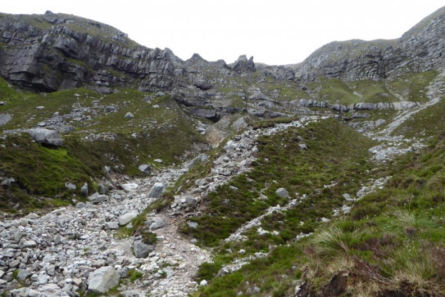
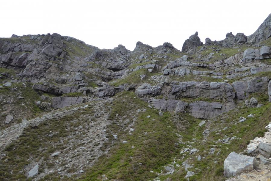
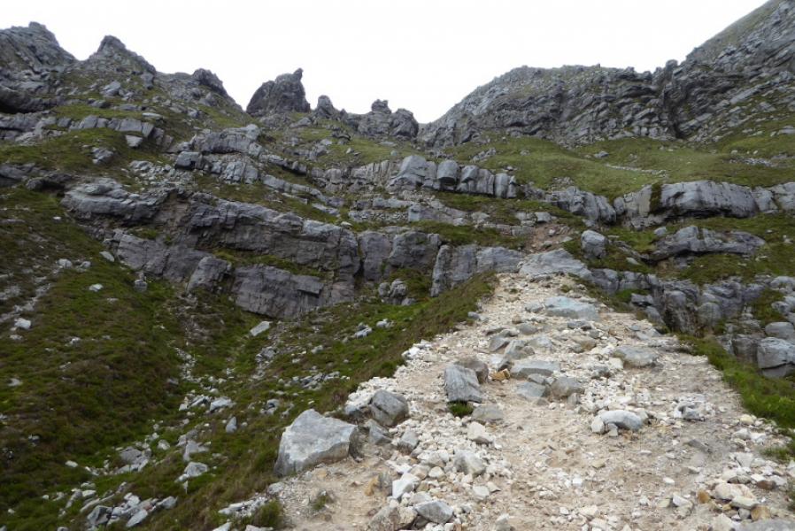
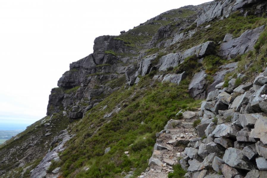
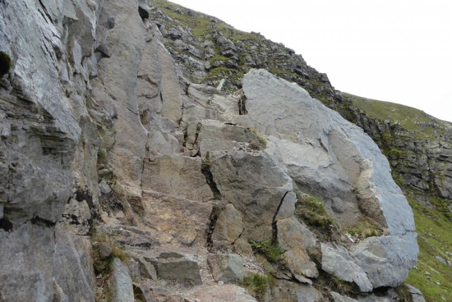
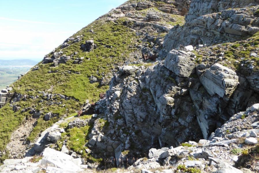
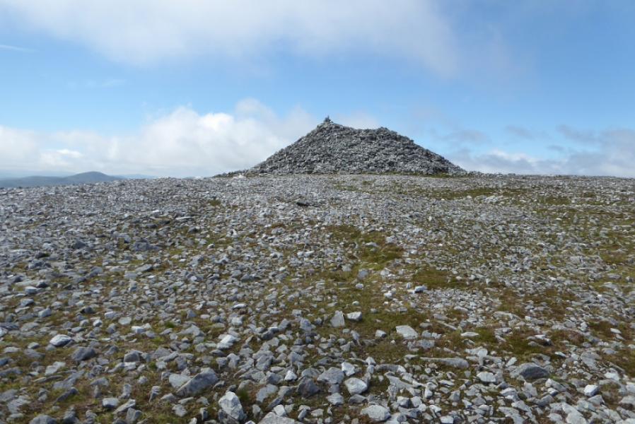
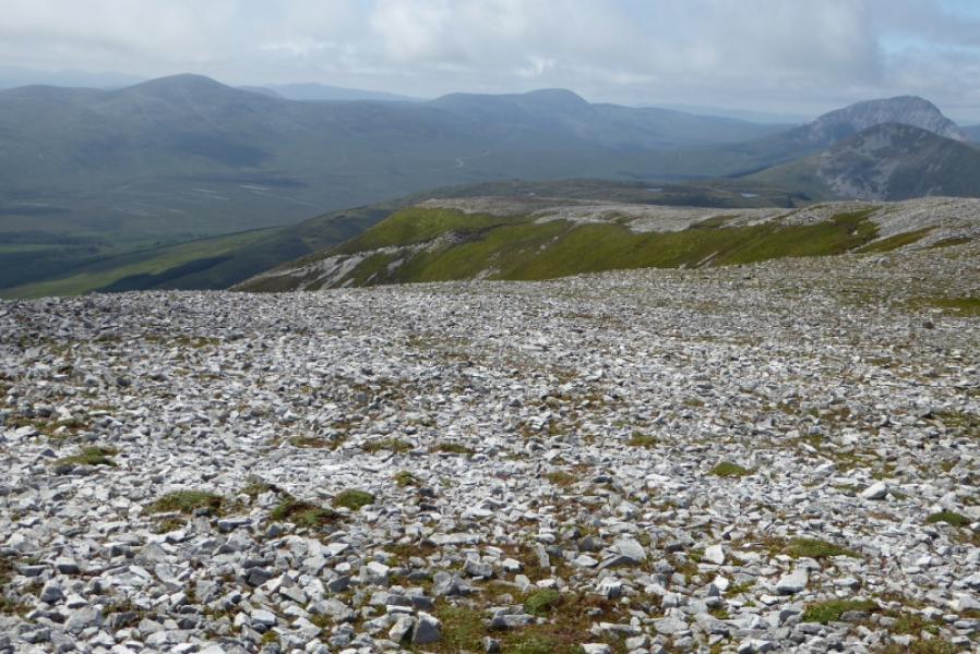
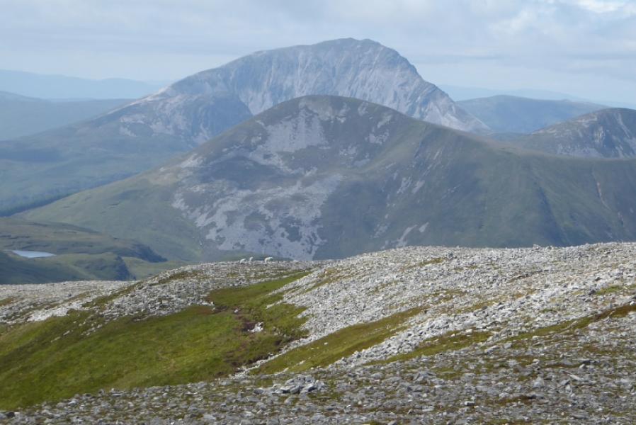
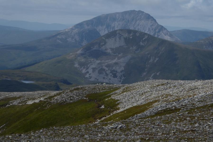
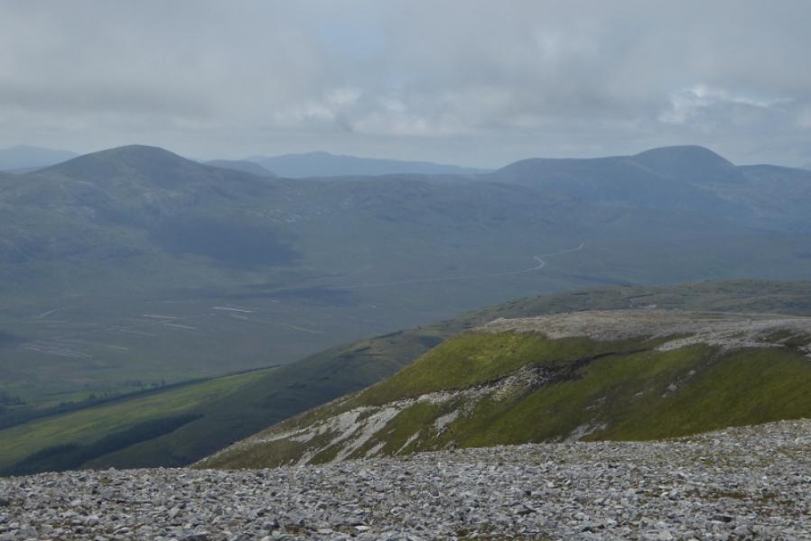
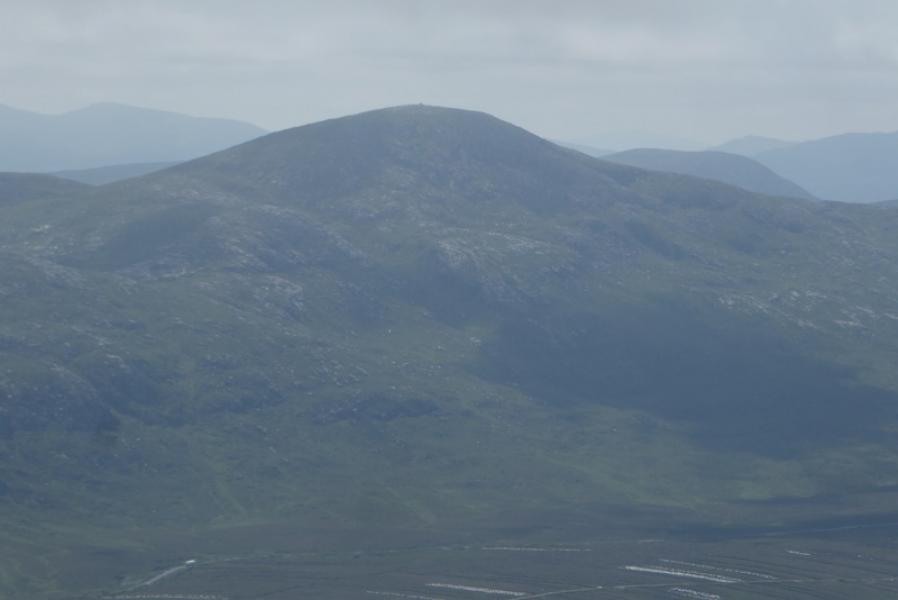
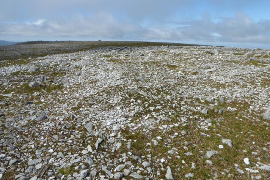
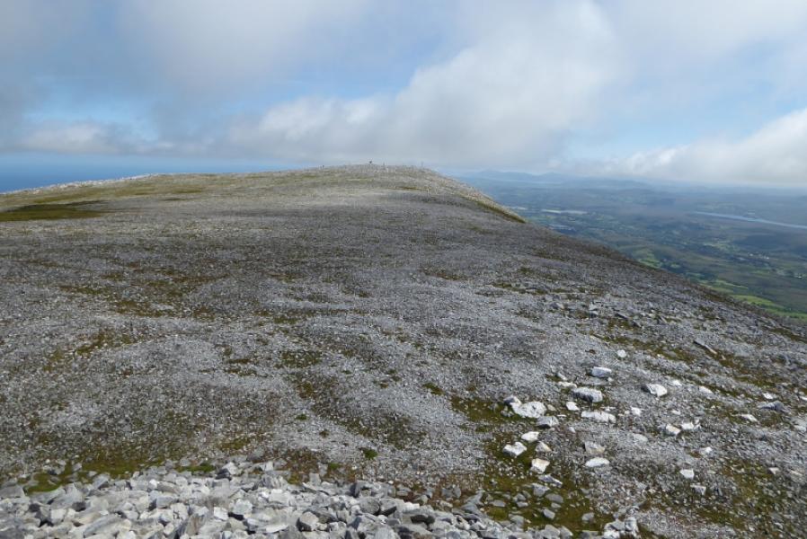
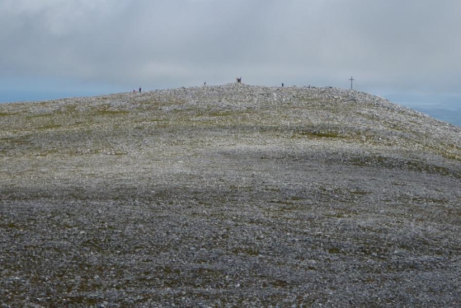
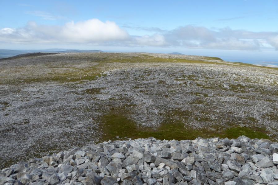
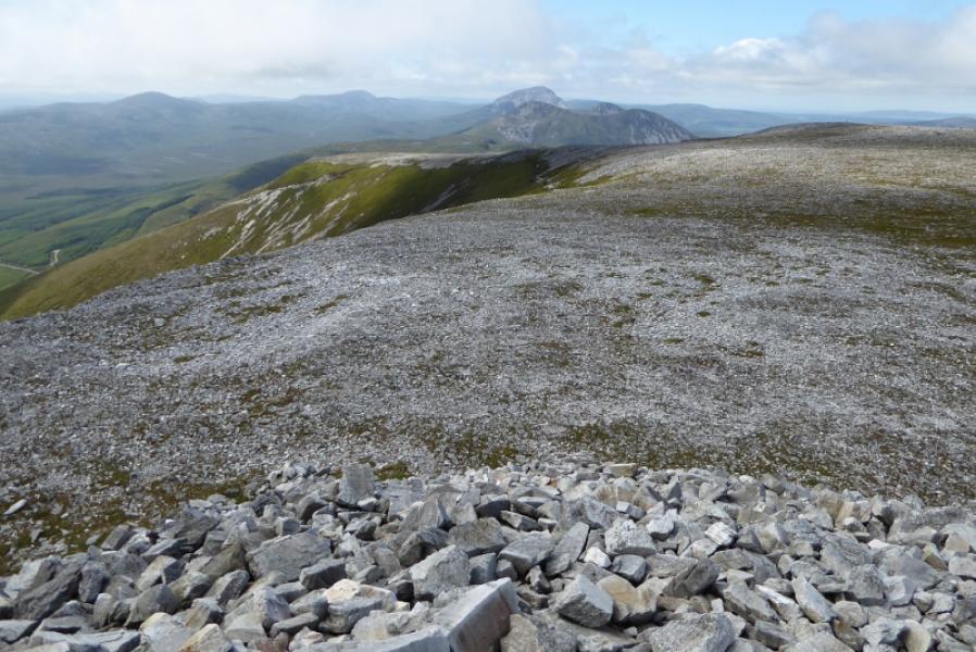
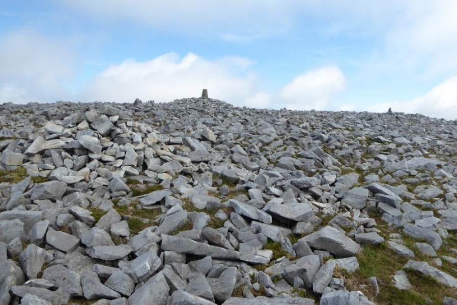
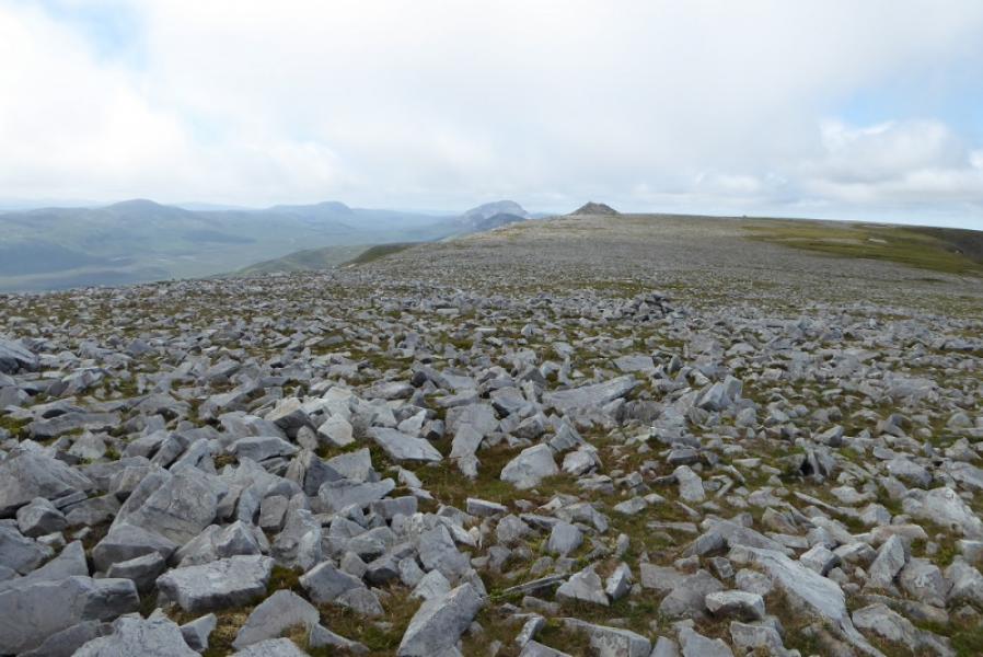
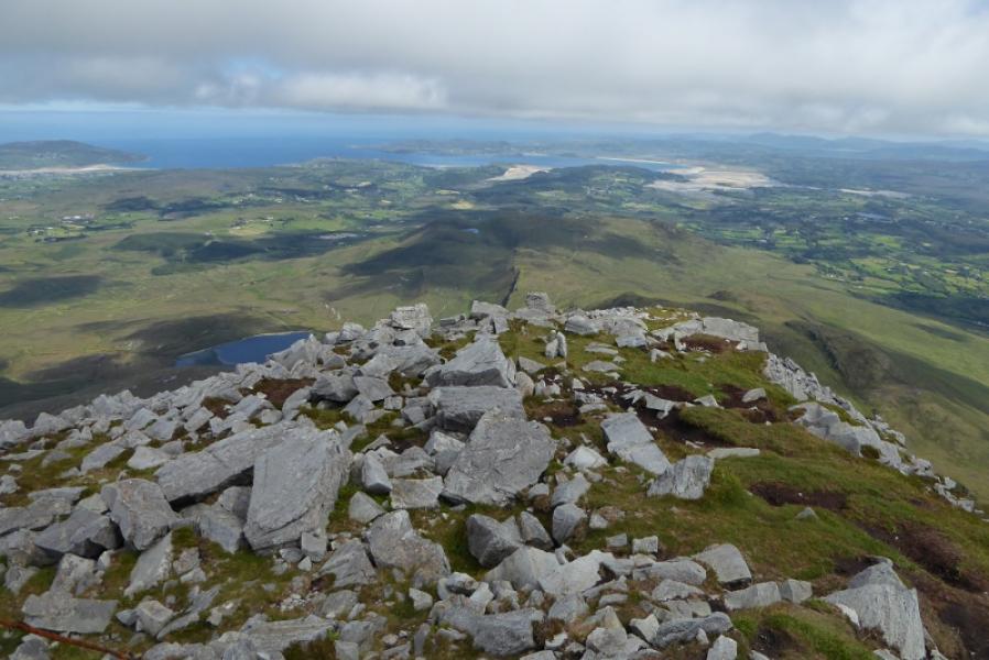
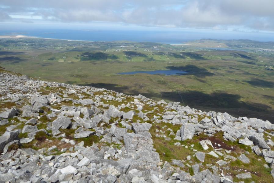
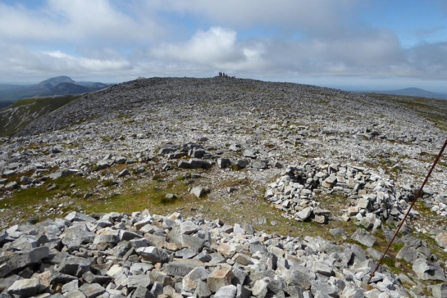
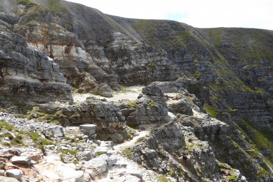
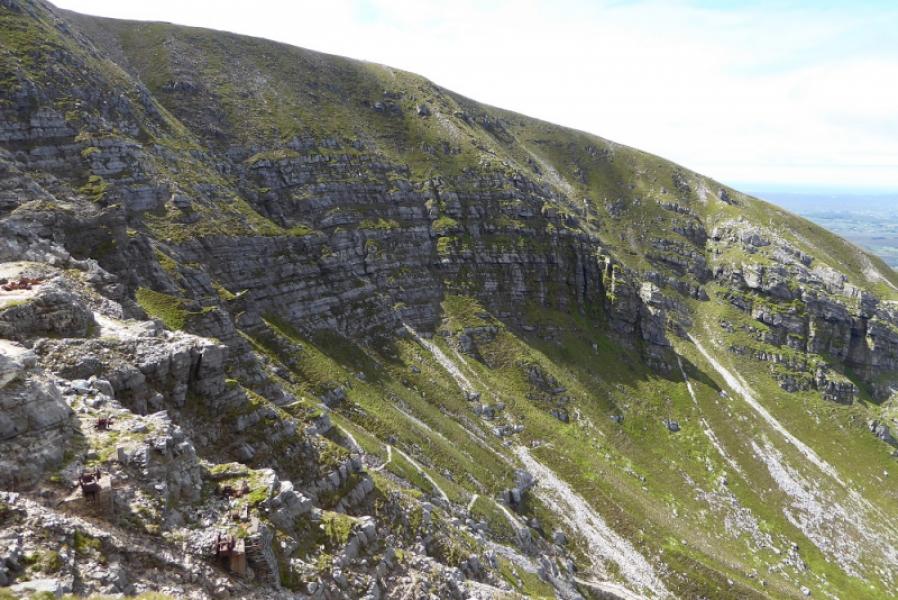
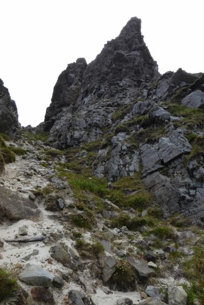
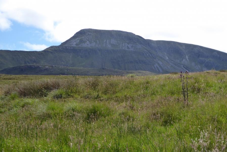
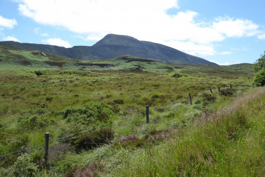
Muckish is a very distinctive mountain. From a distance it almost has a flat top. There is a fairly obvious path most of the way to the summit. There is a huge cairn, about 10 m high, on the summit plateau which some guidebooks say is the summit. However the grid reference above is for the trig point which is about 350 m NE of the huge cairn. On a clear day, the views are excellent and include Errigal Mountain, Dooish and the distant Slieve Snaght as well as the Donegal coast. This is the better route on Muckishbut it is tougher with a few easy rock steps and a little exposure. The route is the finest in Donegal. The path is fairly distinctive but there are other paths which may seem more obvious than the correct one. Generally one goes right at most junctions. In places, arrows have been painted on the rock and there are posts and stanchions. It is strongly recommended to only attempt this walk in clear weather.
Route
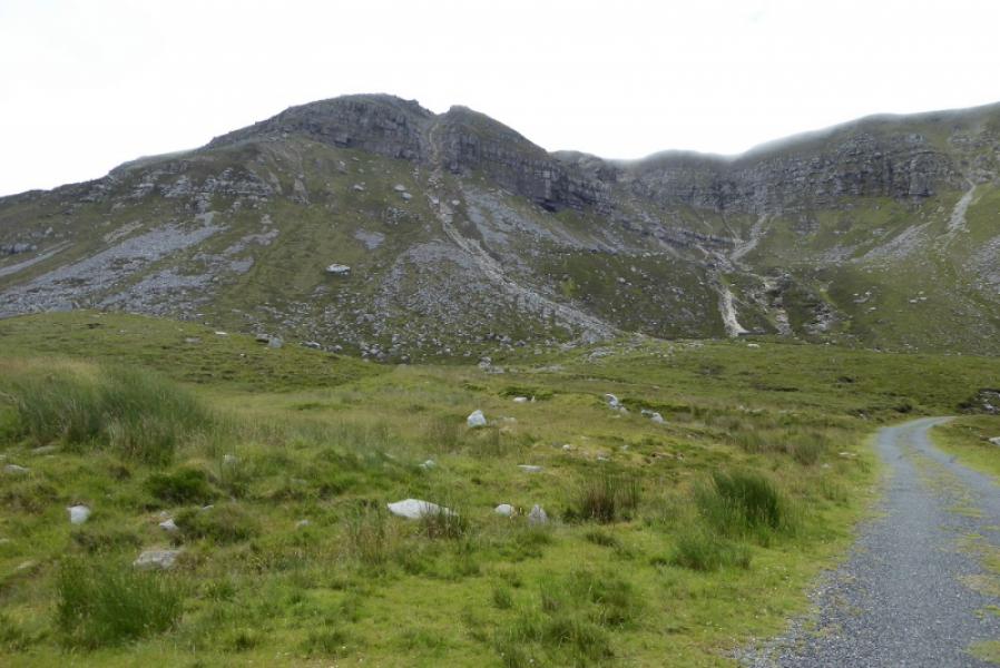
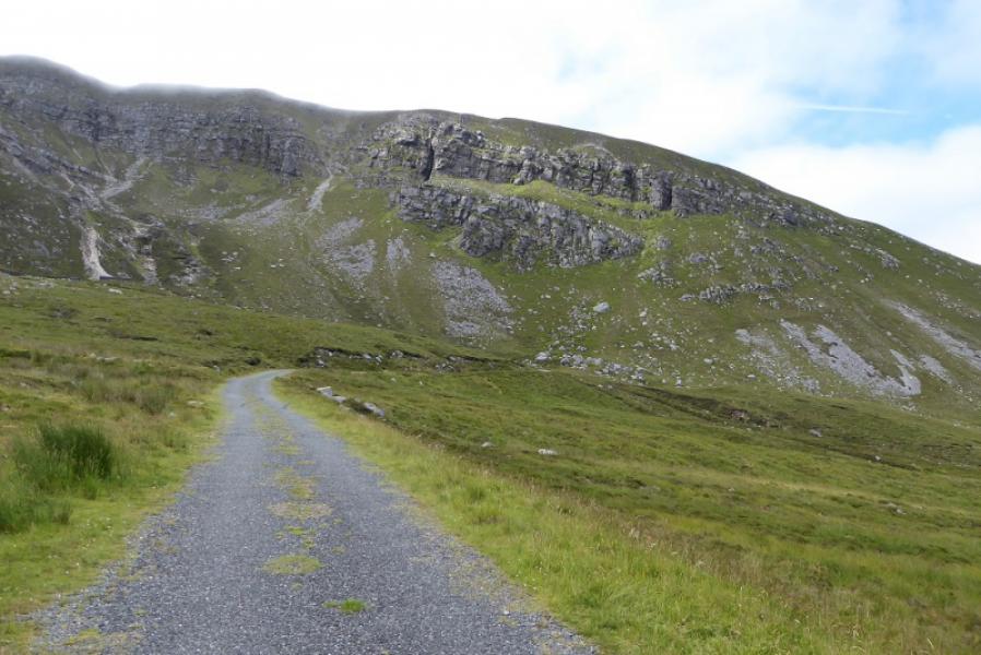
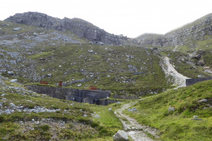
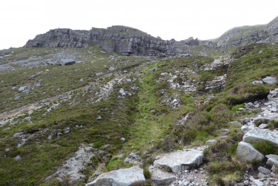
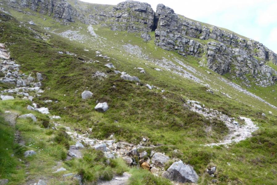
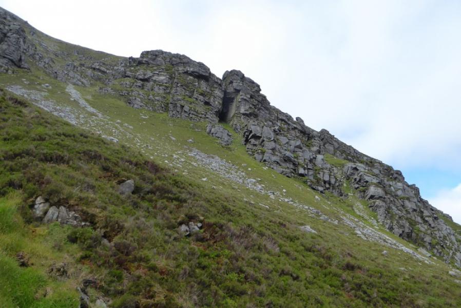
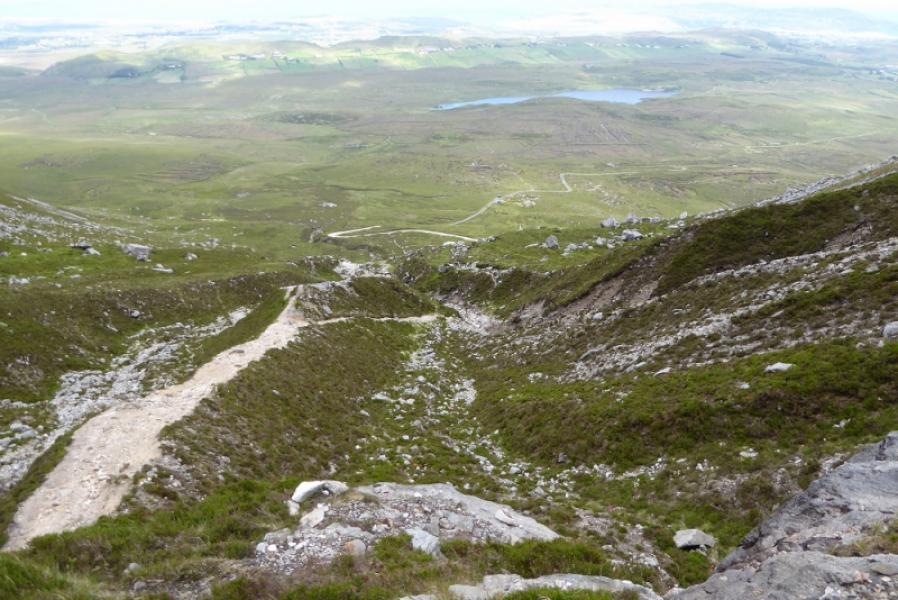
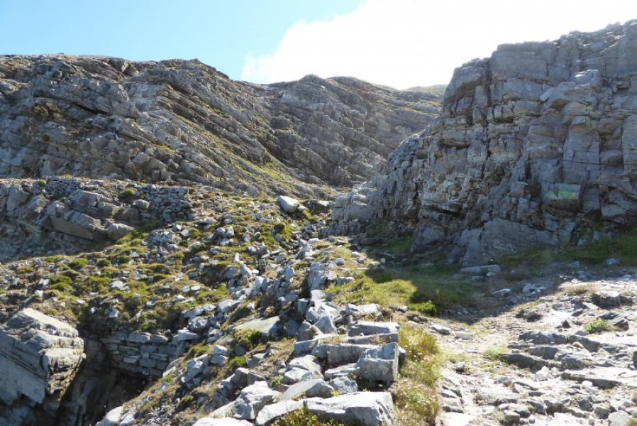
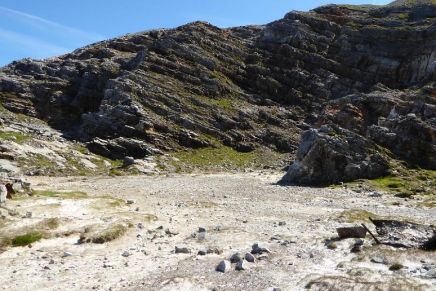
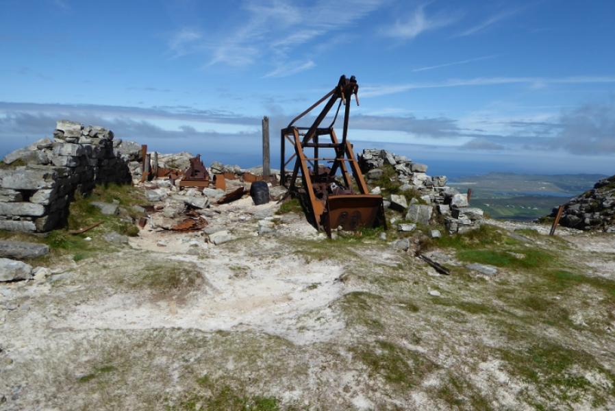
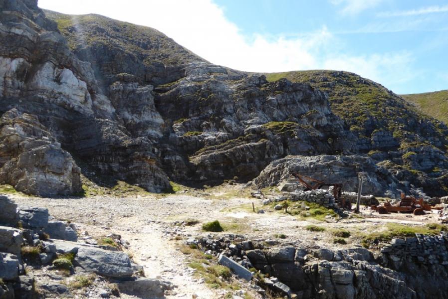
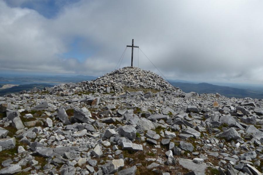
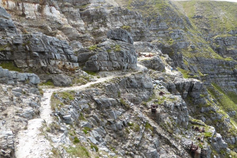
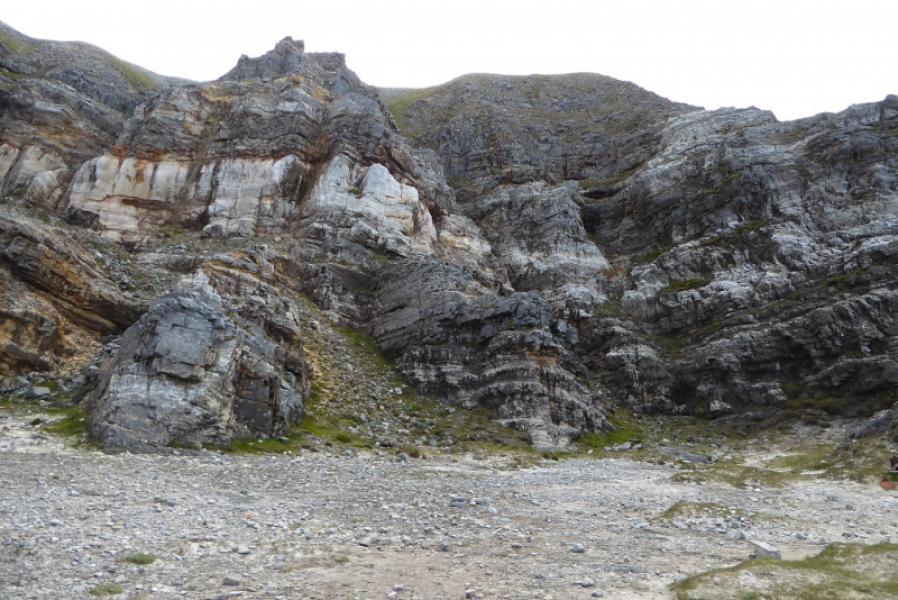
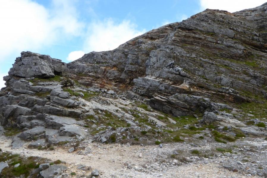
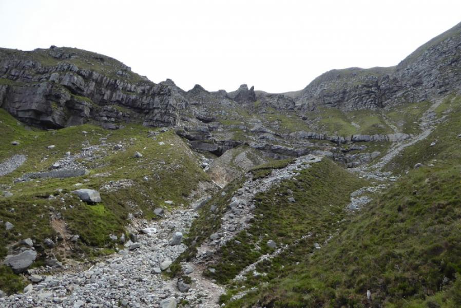
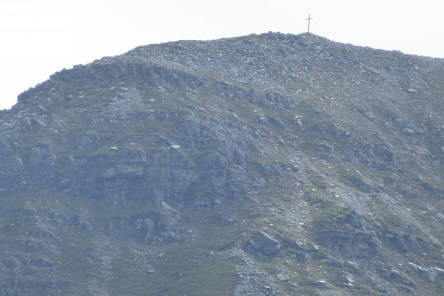
(1) Walk up the road and track to the lower workings. At a blackish wall, take the path going right and cross the stream. The path then picks its way up the side of the stream before reaching the rocky crags looming ahead the distinctive path now starts to weave around. Reach a sort of rough rocky staircase which is a reverse right fork. There is an arrow pointing the way which is need as the path seems to pass by the staircase. Ascend the staircase and continue on the distinctive path. Reach the foot of a steep and white sandy gully. The path crosses the bottom of this then soon cuts back (look for iron posts) to go up the left side above the gully. After that, continue easily to the upper workings which is a large flat area. Go across to the left and pick up the path again which starts to pick its way up the obvious ridge behind all the crags. Reach the start of the summit plateau which is grassy and stony. Drift right and head for the huge cairnwhich has some white quartzite ground rocks just before it. Head back along the top of the plateau plateau which is now about 100 m wide. The ground is quite stony but soon reach a small mound on which sits a trig point that is the summit of Muckish Mountain, 666 m. Continue further to reach another mound on which sits a large iron cross.
(2) Walk back to where the ascent path reached the plateau then retrace the outward route.
Notes
(a) This walk took place on 14th July, 2019.
Photos - Hover over photo for caption. Click on to enlarge. Click on again to reduce.