Get Lost Mountaineering
You are here: Ireland » North » Donegal to Sligo
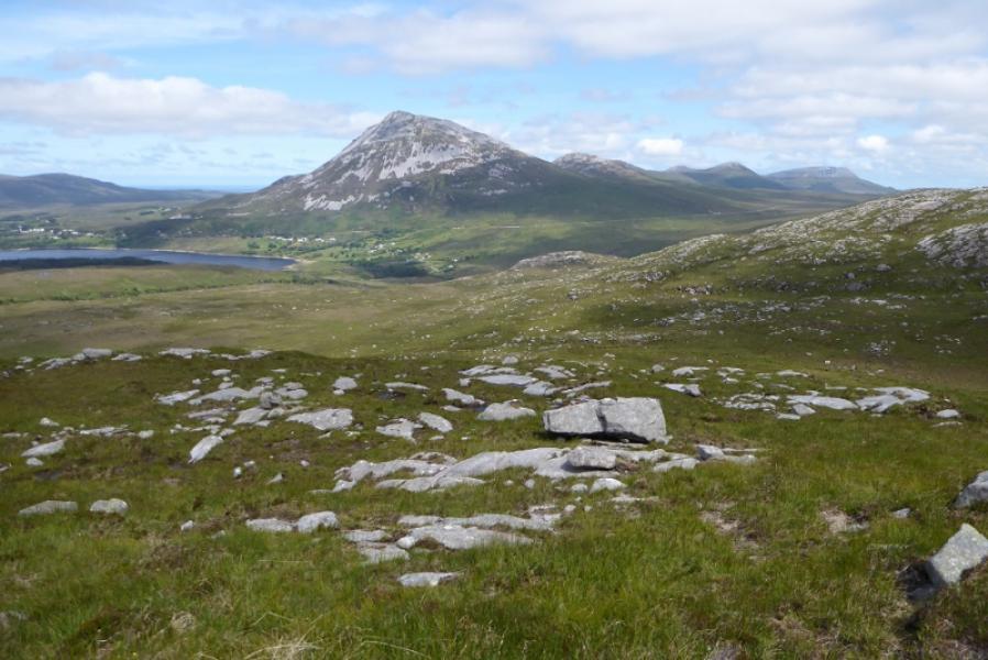
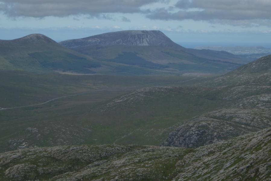
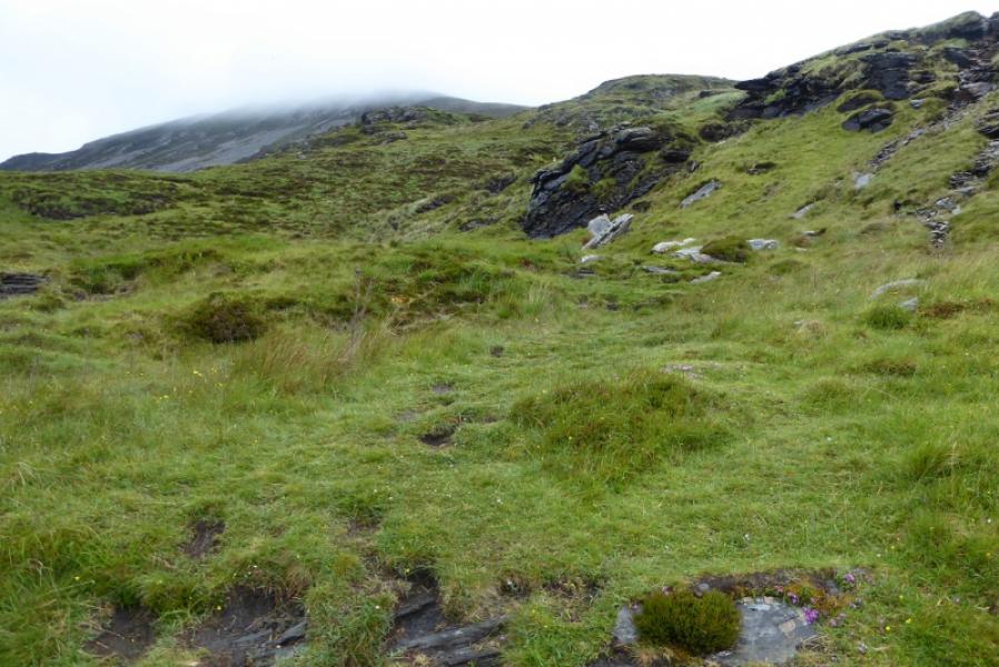
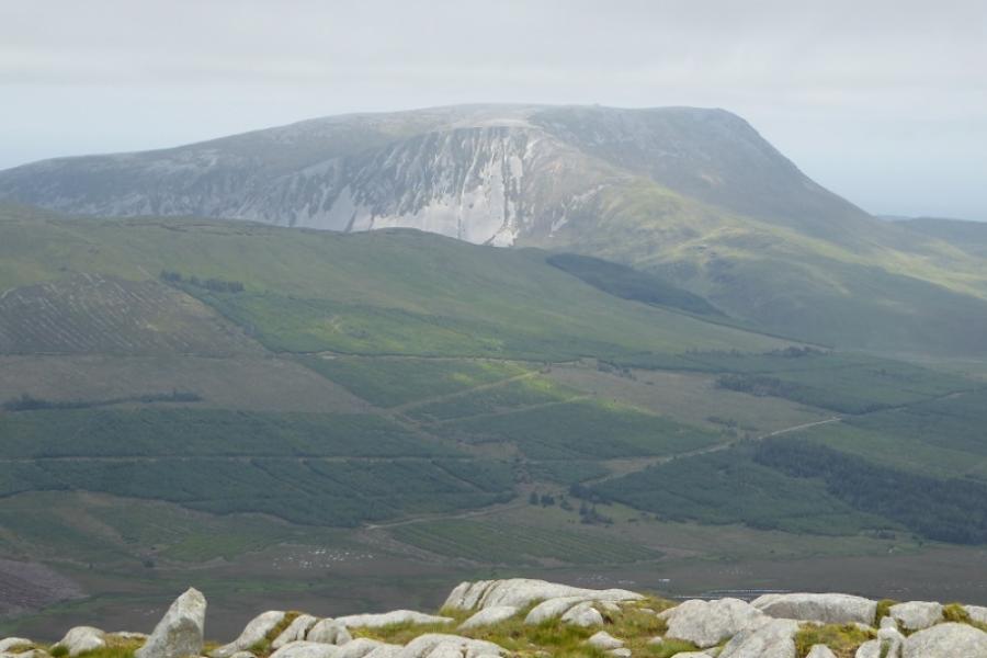
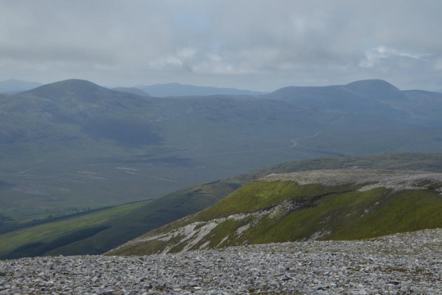
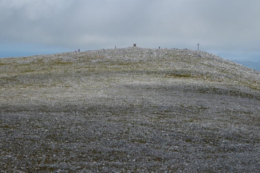
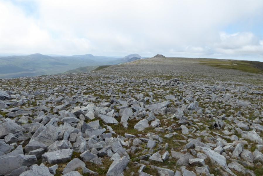
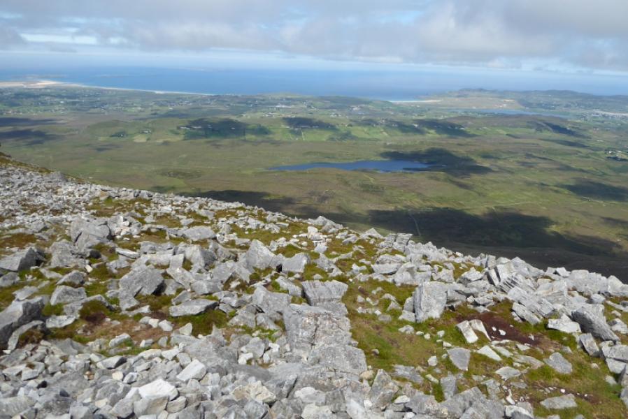
Muckish from top of R256
Muckish from top of R256
Start/Finish
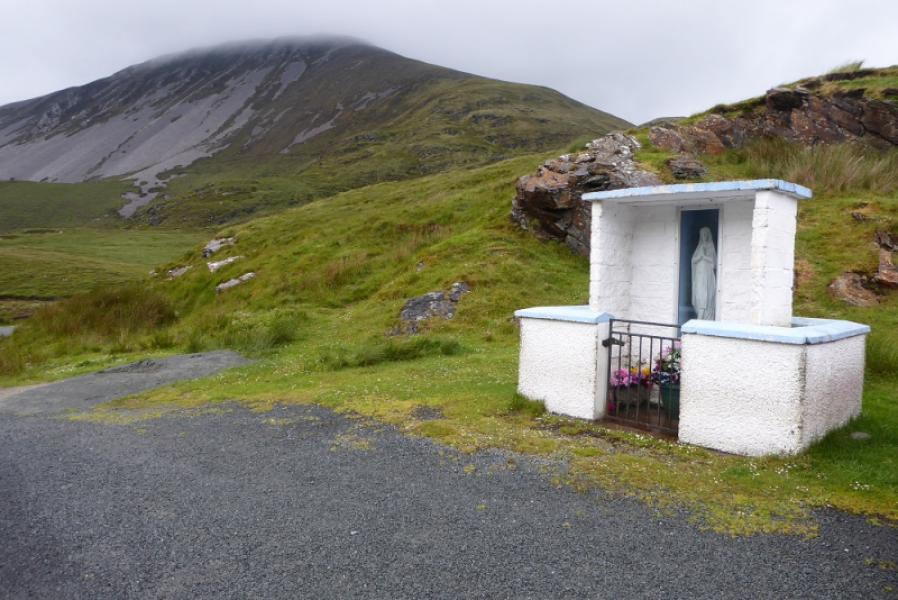
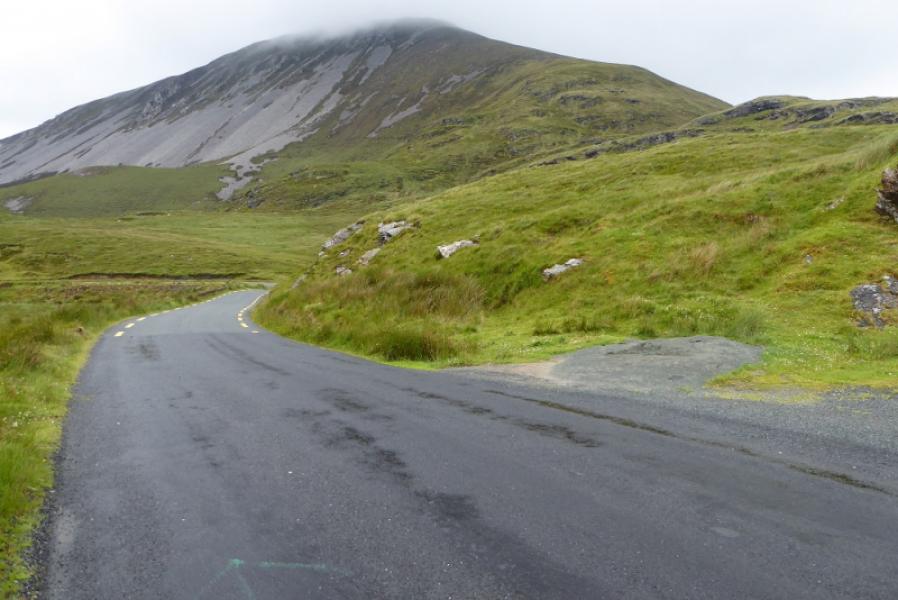
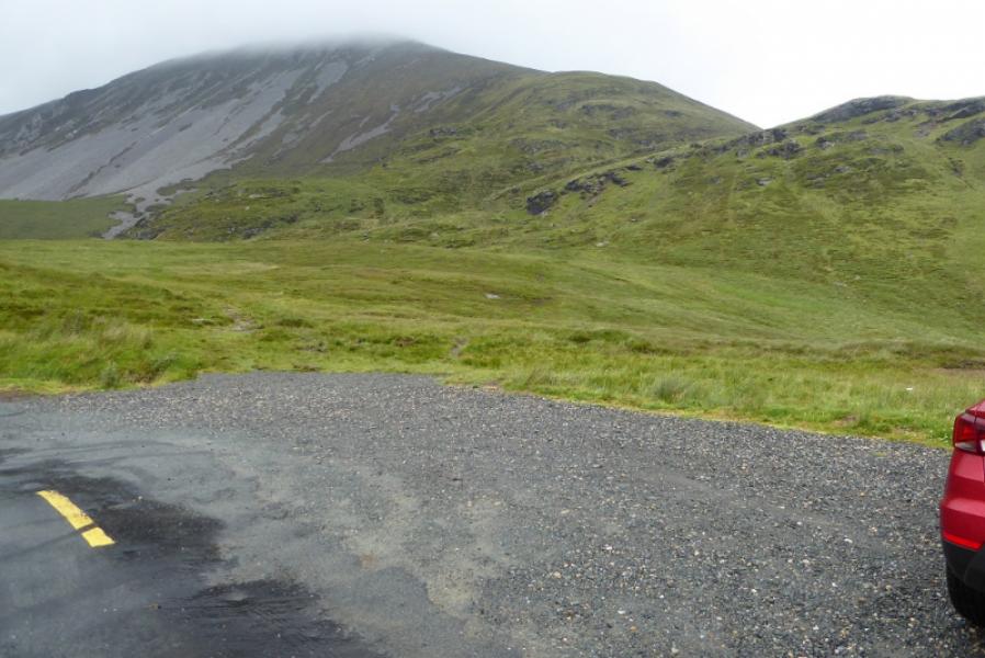
On the top of the R256 is a shrine with limited parking next to it. Downhill on the north side is a bend with more parking and this is where the path up Muckish actually starts. On some maps, the shrine is labelled as Gleenanneor at B 999 268. The R256 for Falcarragh leaves the R251 Letterkenny to Gweedore road via Errigal Mountain just to the north west of the entrance to Glenveagh National Park.
Distance/Time
7 km. About 3 – 4 hours.
Peaks
Muckish Mountain, 666 m, C 004 287. (Irish National Grid System)
Irish OS Discovery Series Map 2: Donegal (1:50000)
Introduction
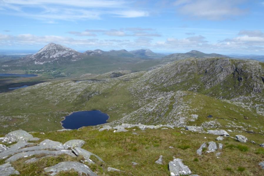
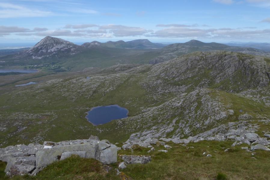
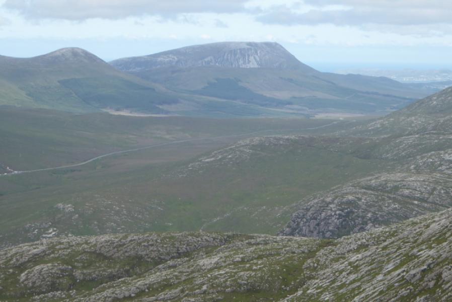
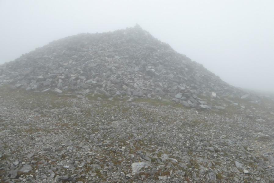
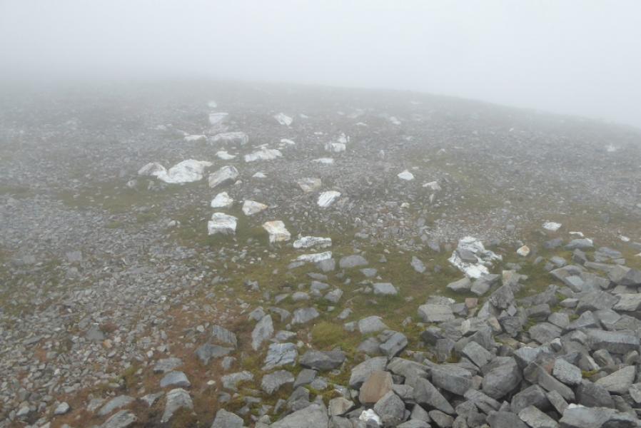
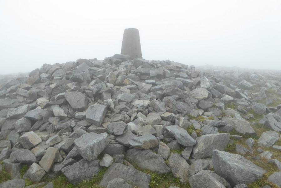
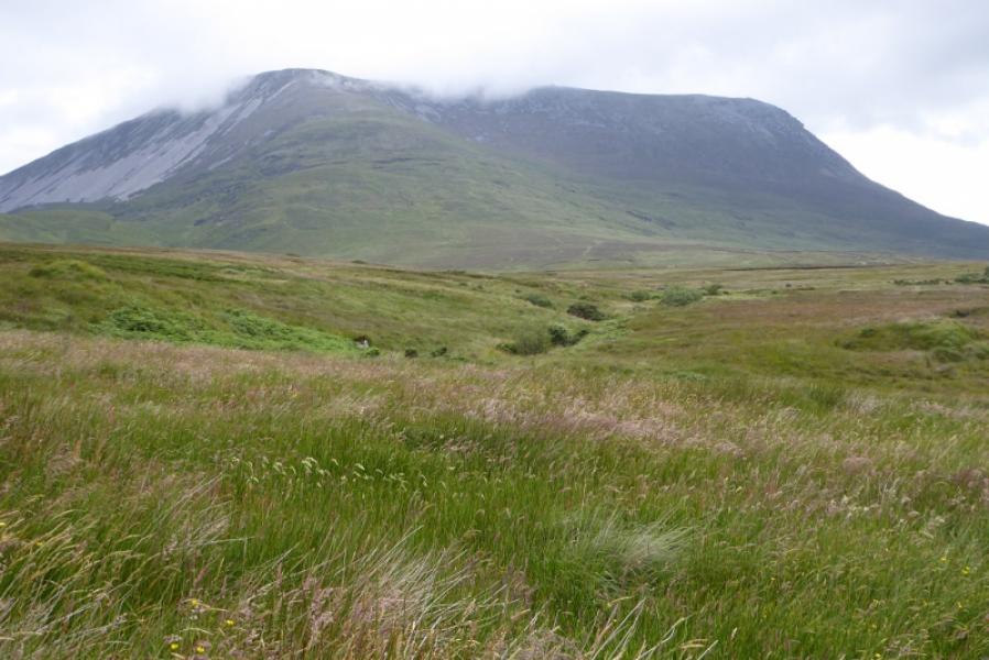
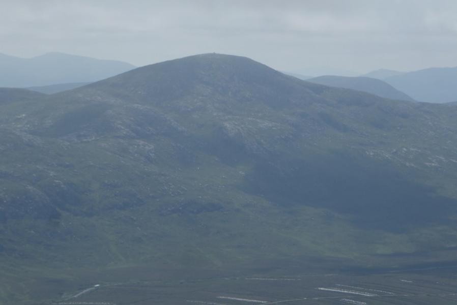
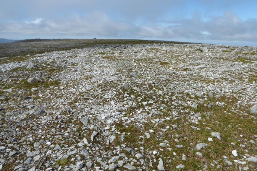
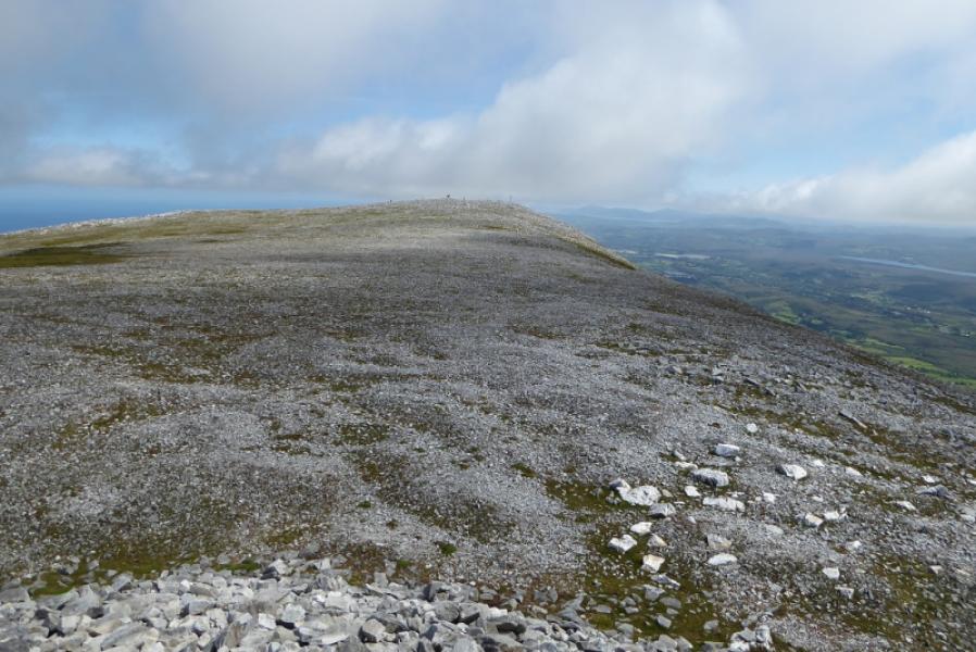
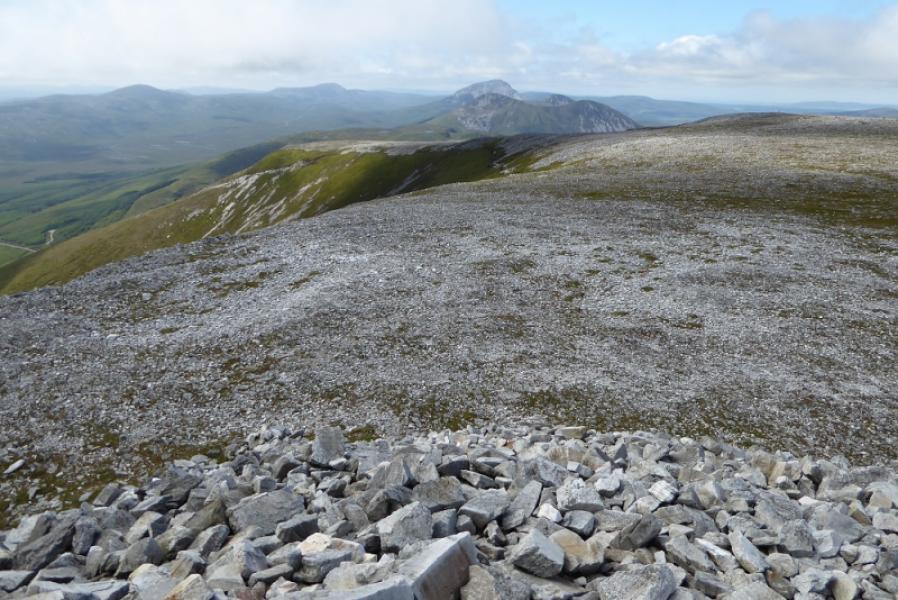
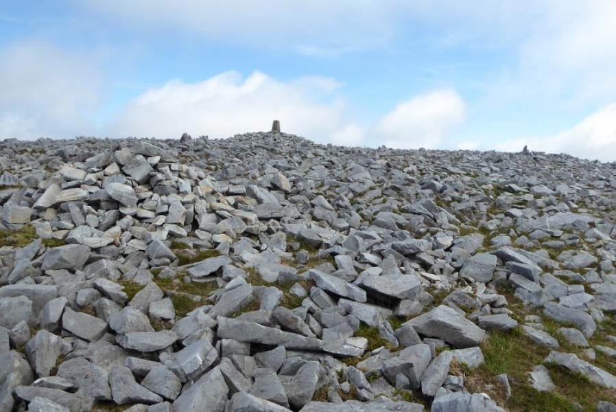
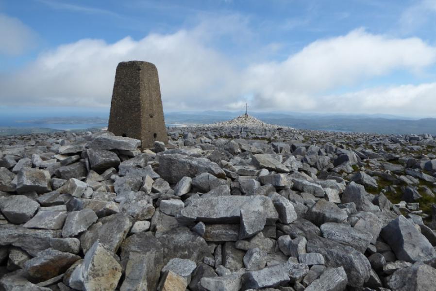
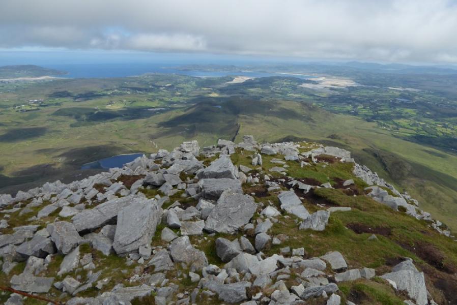
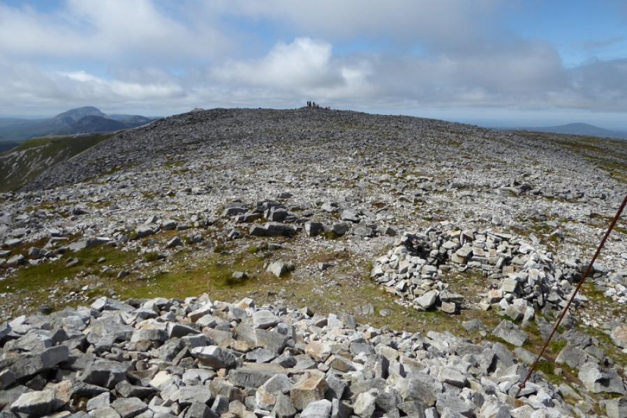
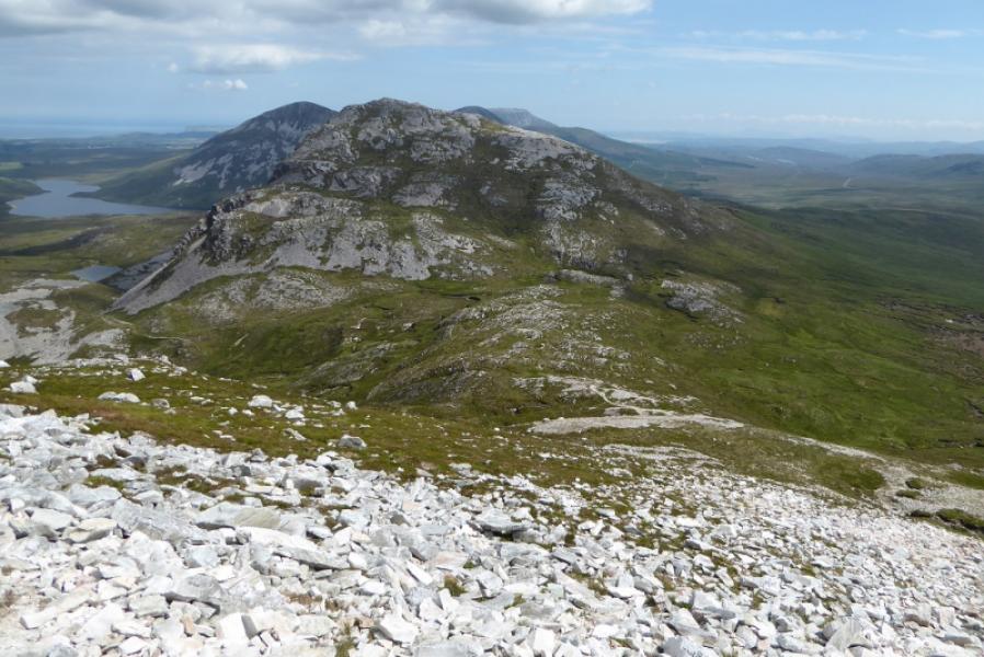
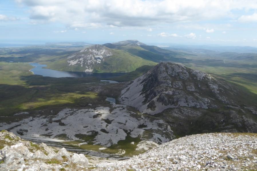
Muckish is a very distinctive mountain. From a distance it almost has a flat top. There is a fairly obvious path most of the way to the summit. There is a huge cairn, about 10 m high, on the summit plateau which some guidebooks say is the summit. However the grid reference above is for the trig point which is about 350 m NE of the huge cairn. On a clear day, the views are excellent and include Errigal Mountain, Dooish and the distant Slieve Snaght as well as the Donegal coast.
Route
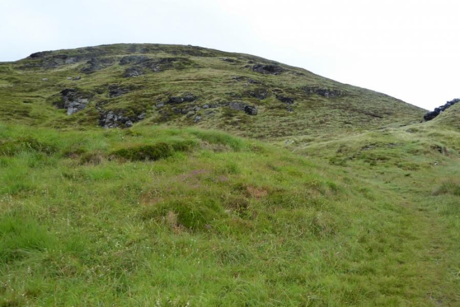
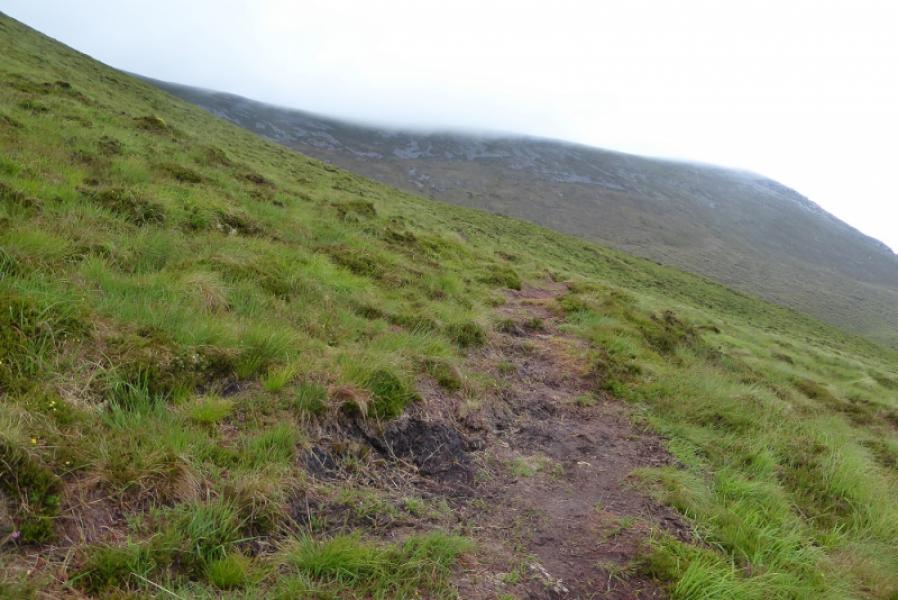
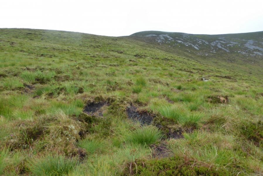
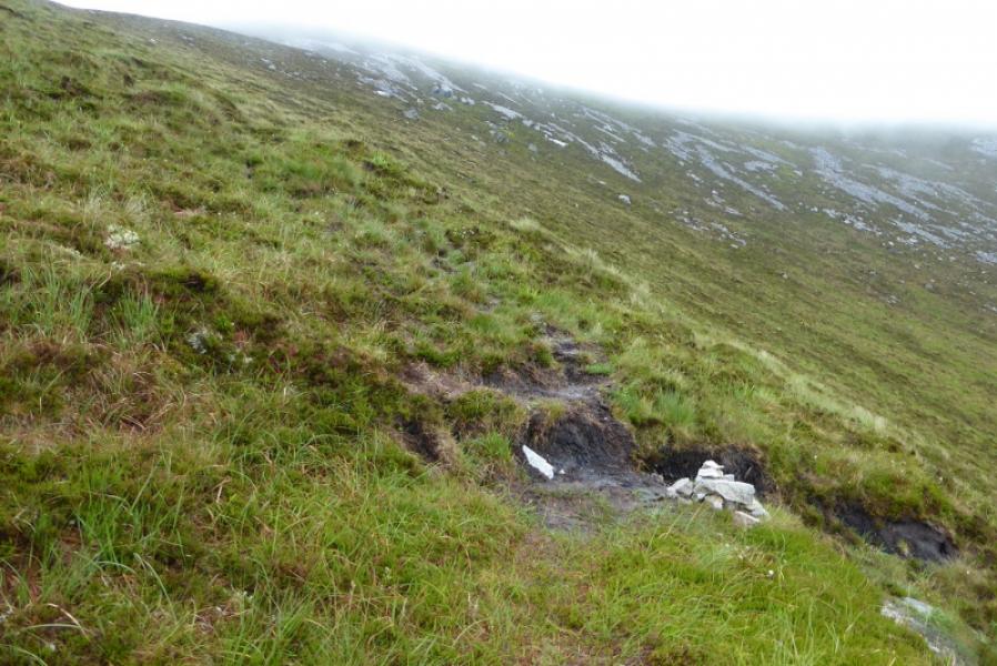
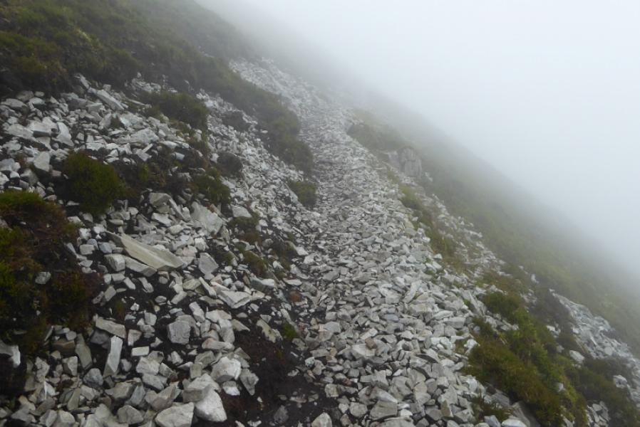
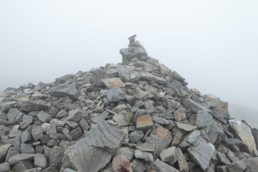
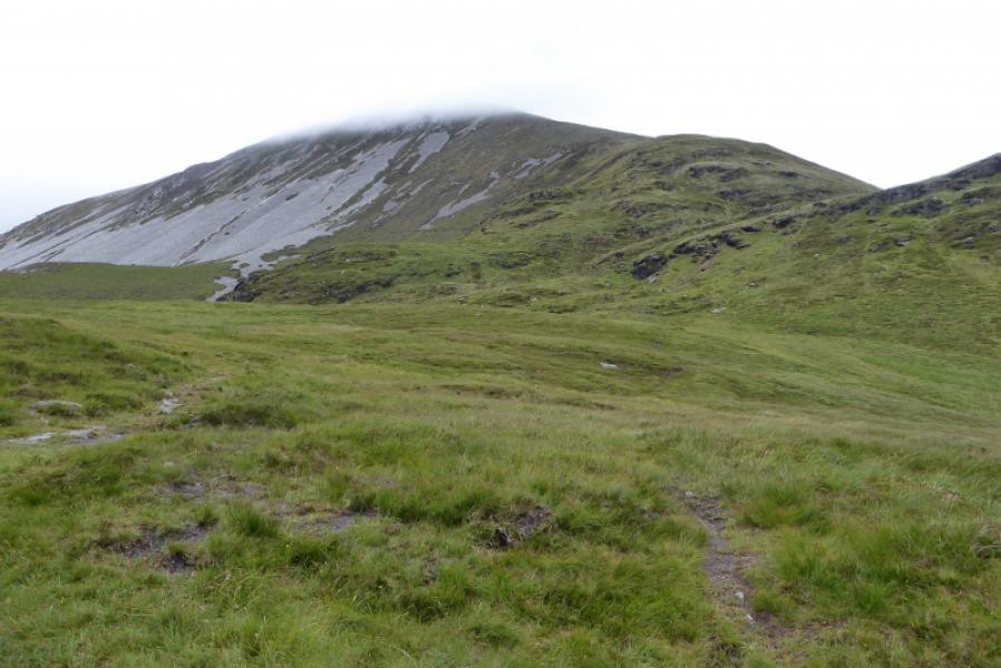
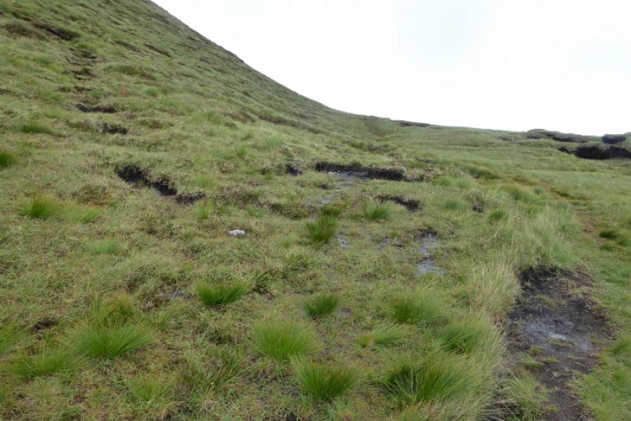
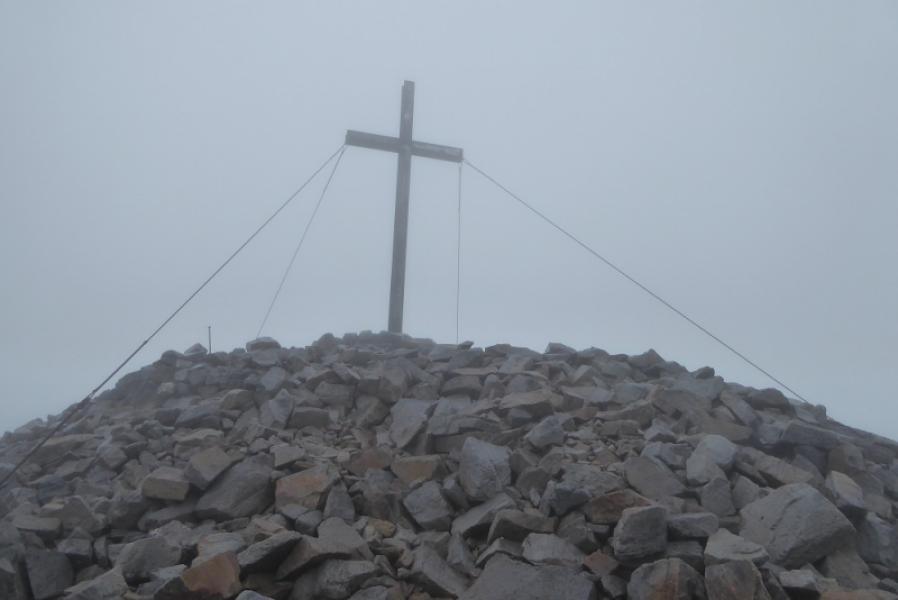
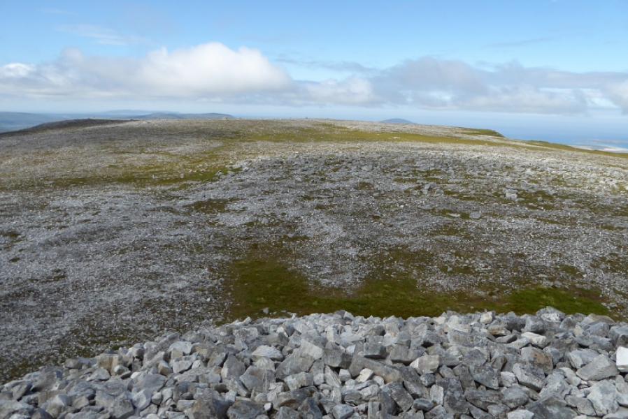
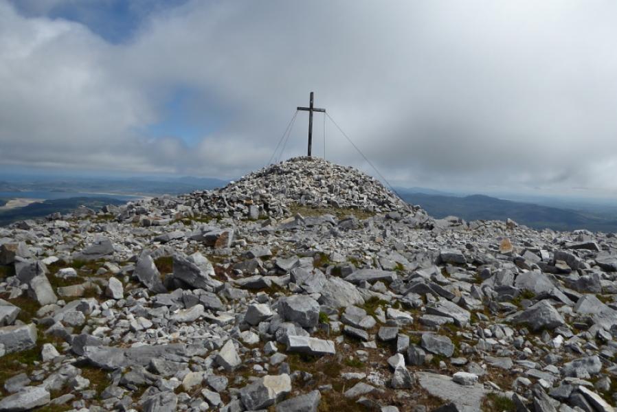
(1) Start up the path from the bend below the shrine. This easy to follow with just a few short boggy patches which are easily avoided. The path passes below the foot of the S and it is possible to leave it and make a direct ascent up this ridge. If staying with the path, then it contours round almost into the grassy,open eastern corrie before picking a way up on the E side of the S ridge. Higher up and just before it seems about to join the crest of the S ridge it goes off to the right and traverses just below the summit plateau. The path becomes peaty then turns more stony before turning peaty again. It joins the edge of the plateau about 200 m before the huge cairn which has some white quartzite ground rocks just after it. Continue along the plateau which is now about 100 m wide. The ground is quite stony but soon reach a small mound on which sits a trig point that is the summit of Muckish Mountain, 666 m. Continue further to reach another mound on which sits a large iron cross.
(2) Retrace the outward route.
Notes
(a) This walk took place on 9th and 11th July, 2019.
Photos - Hover over photo for caption. Click on to enlarge. Click on again to reduce.