Get Lost Mountaineering
You are here: Ireland » North » Donegal to Sligo
Slieve Snaght (Derryveagh Mountains) from Dunlewy
Slieve Snaght (Derryveagh Mountains) from Dunlewy
Start/Finish
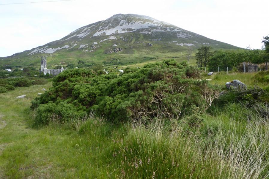
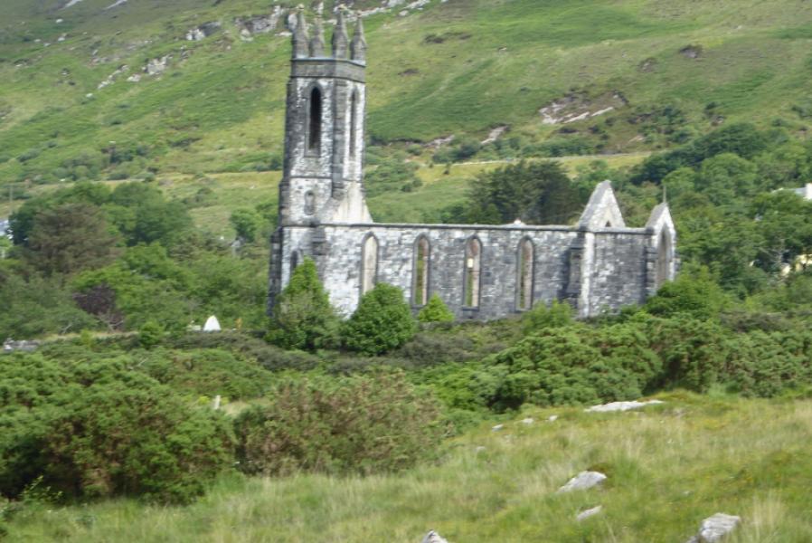
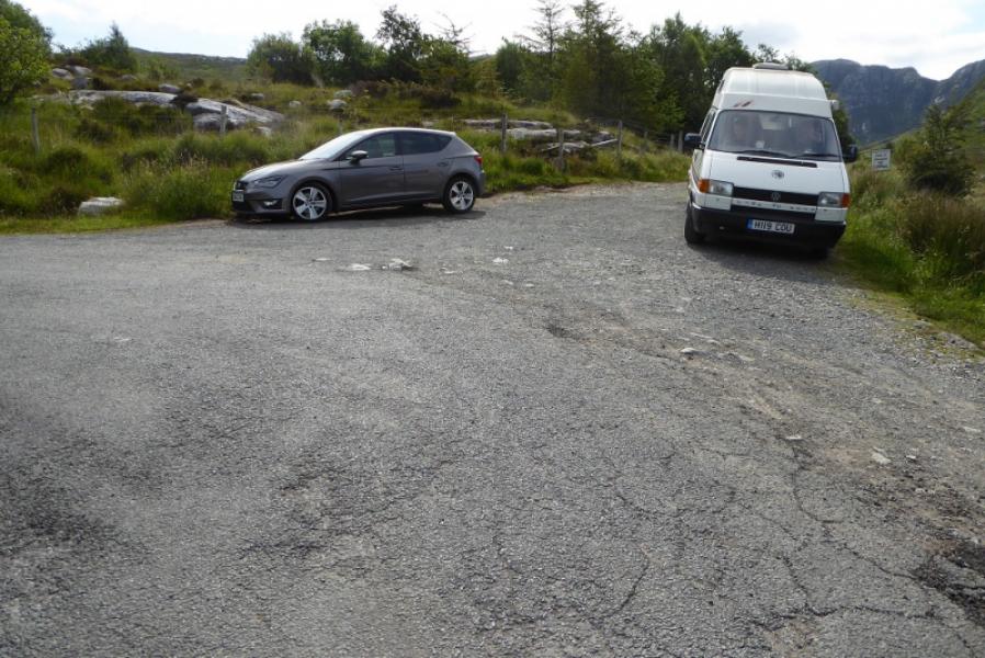
Limited parking near the roofless church at Dunlewy. Dunlewy is just off the R251 road at the foot of the pass opposite Errigal.
Distance/Time
10 km. About 6 – 7 hours.
Peaks
Slieve Snaght, 678 m, B 923 148. (Irish National Grid System)
Irish OS Discovery Series Map 1: Donegal (1:50000)
Introduction
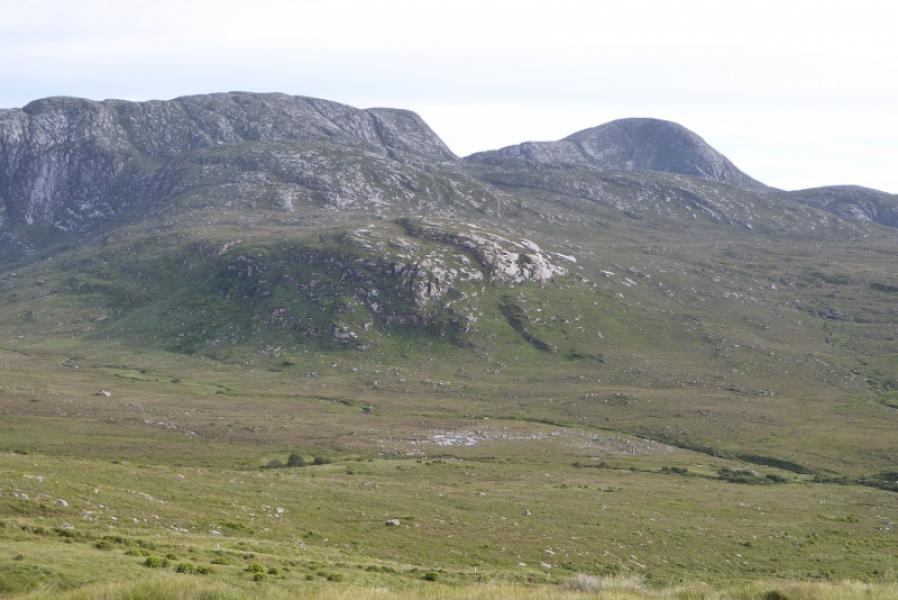
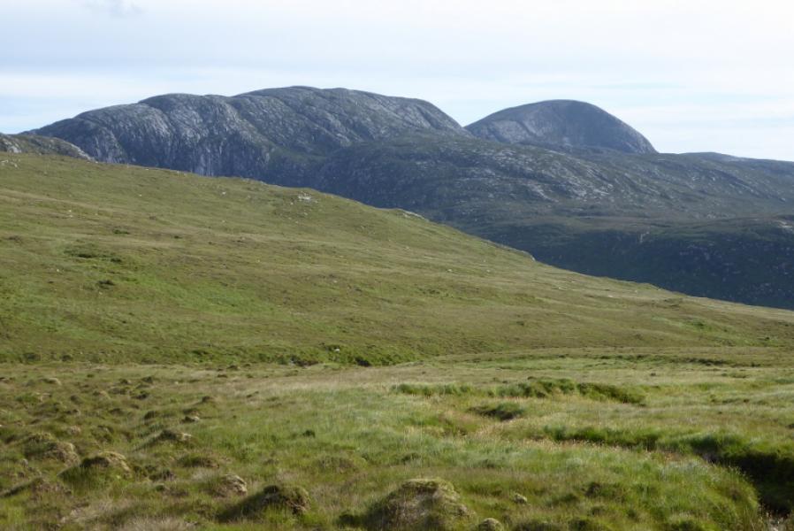
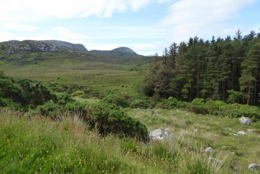
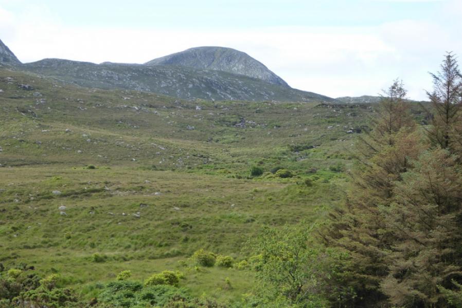
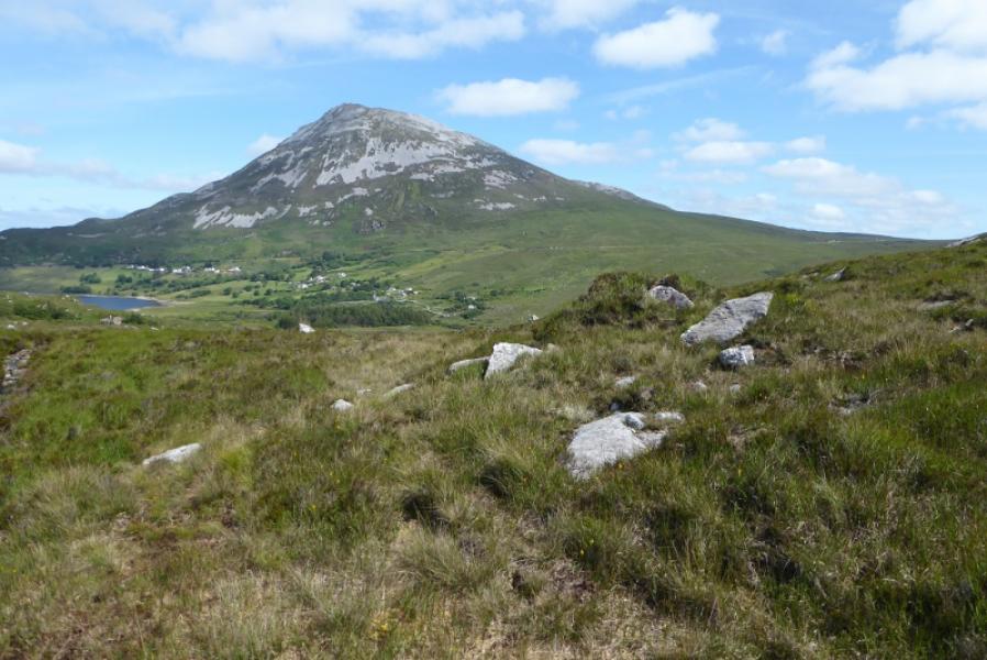
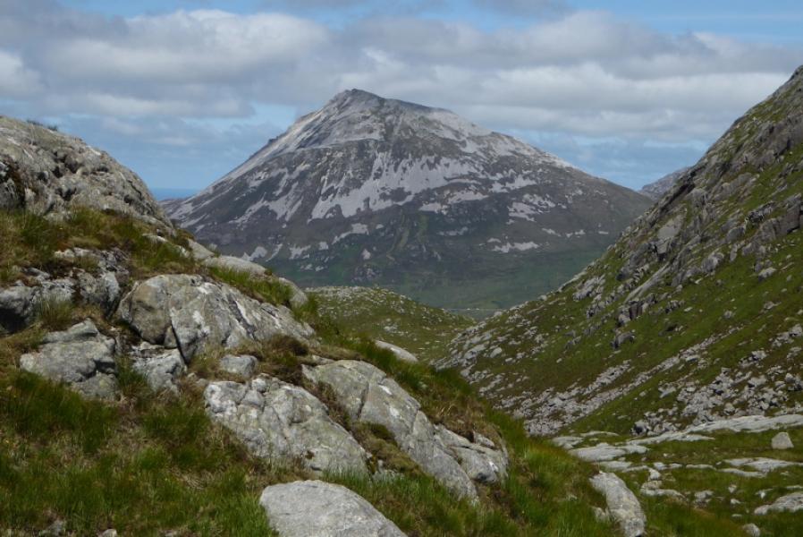
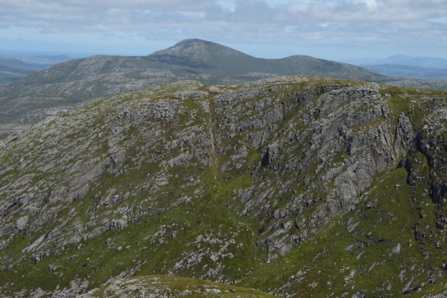
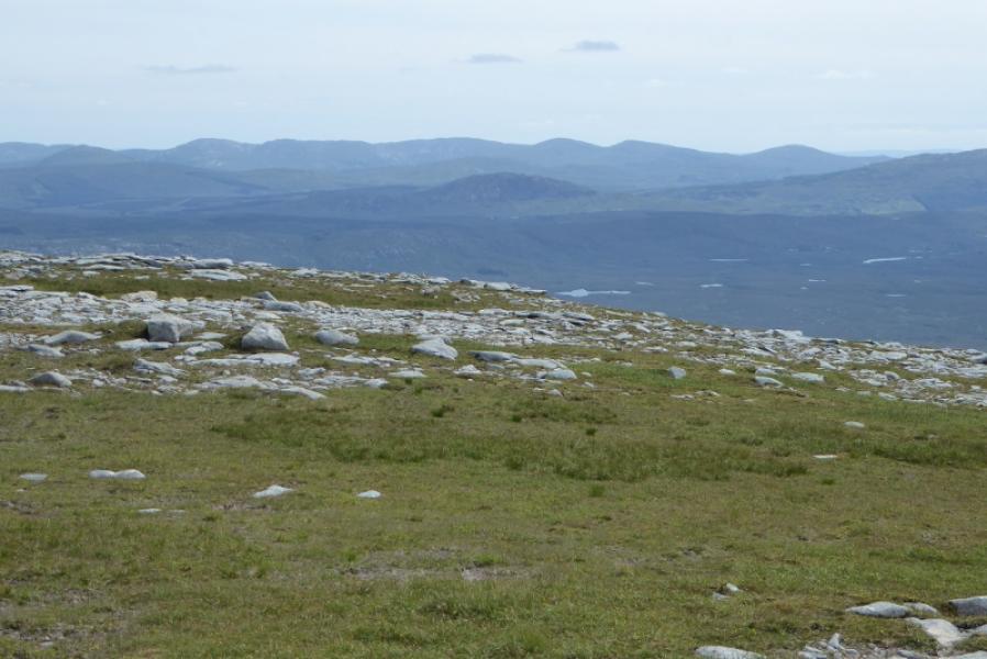
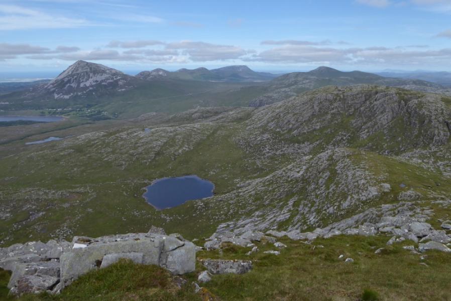
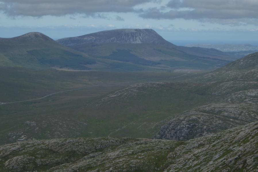
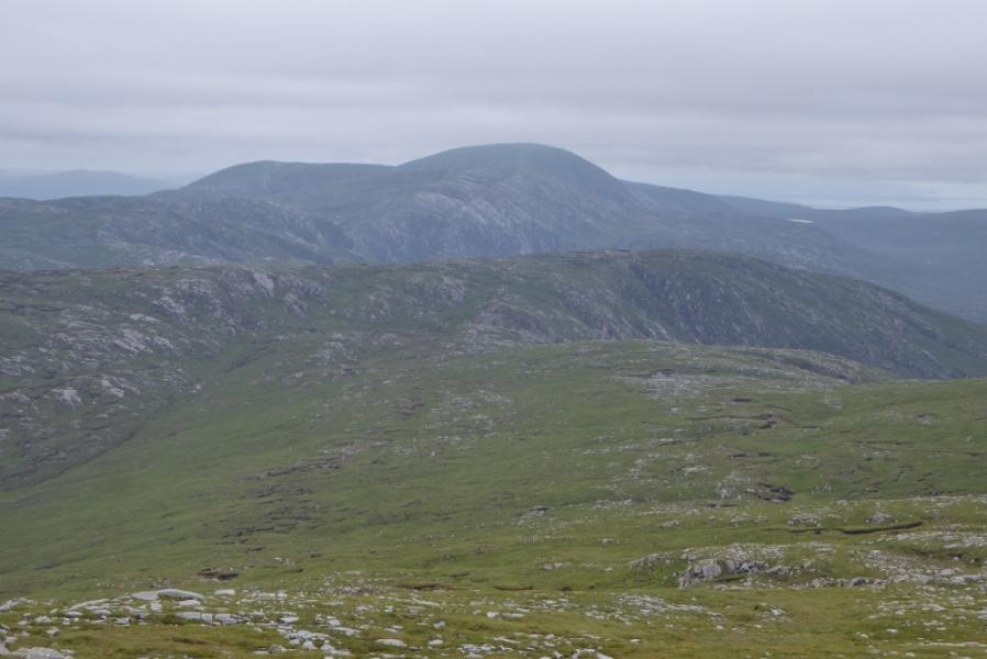
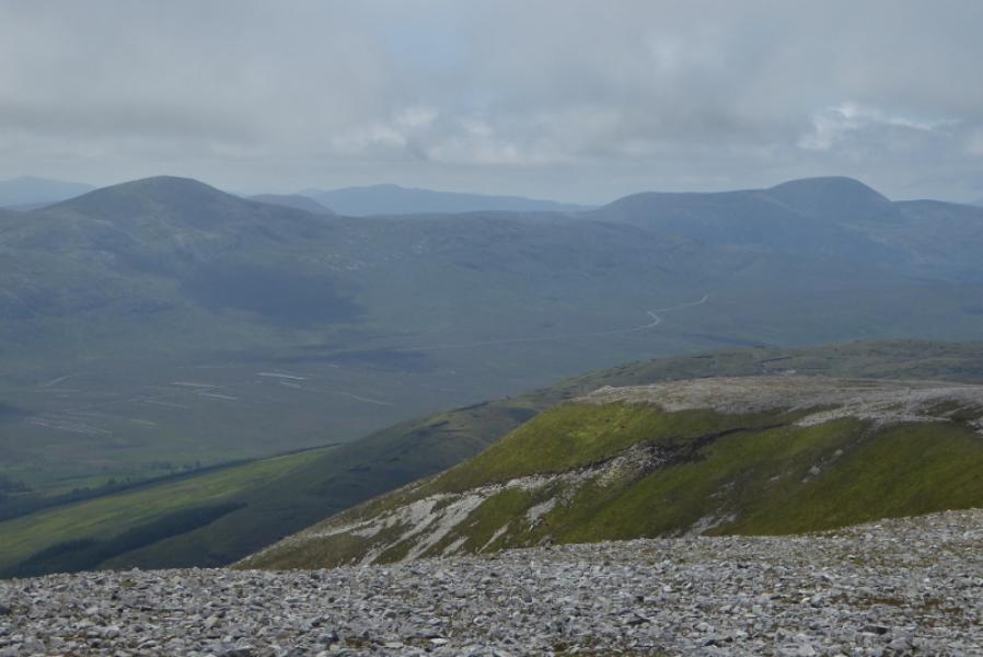
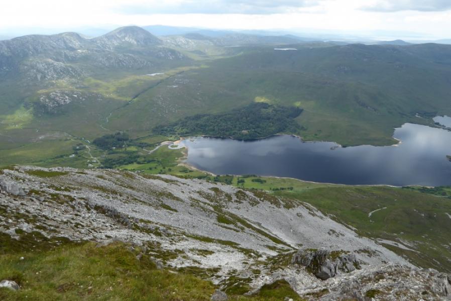
Slieve Snaght is quite a remote mountain with no easy access. Several guide books follow the Devlin River but say the route is very boggy with a final steep ascent uo Slieve Snaght. This route does not follow the Devlin River at all and there was no serious bog encountered although it was in a dry spell nor were there any steep sections. The views from the summit are extensive and include Errigal, Muckish, Dooish and the Bluestack Mountains as well as the Donegal coast. This route is not recommended in mist as it is a great help being able to see Slieve Snaght from the start.
Route
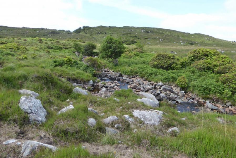
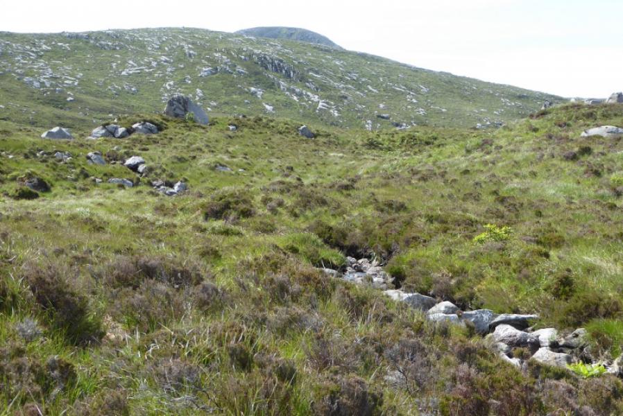
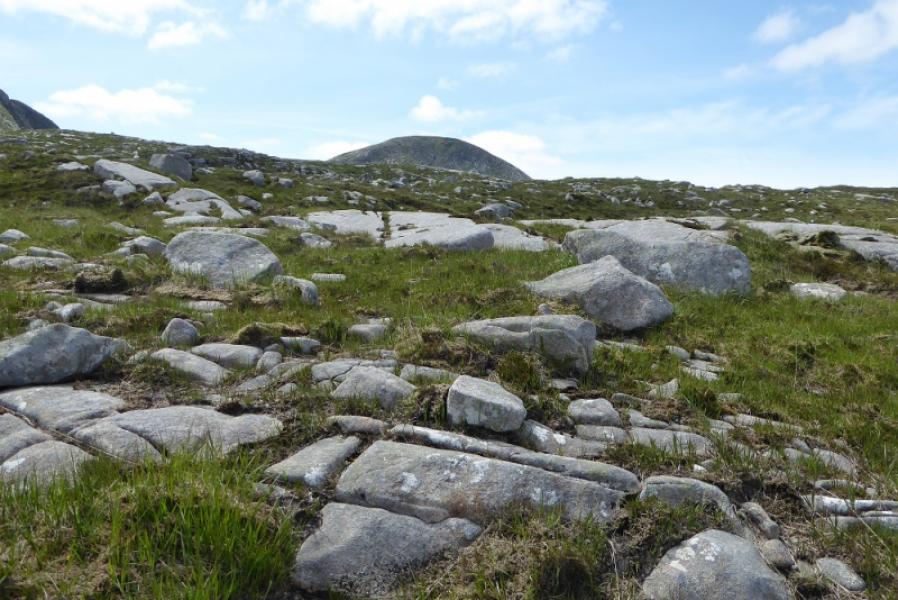
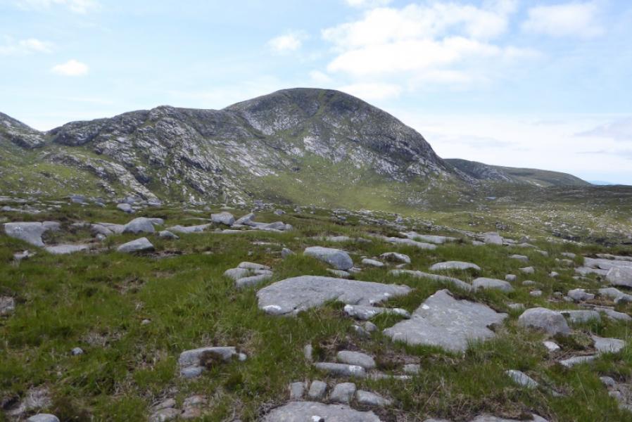
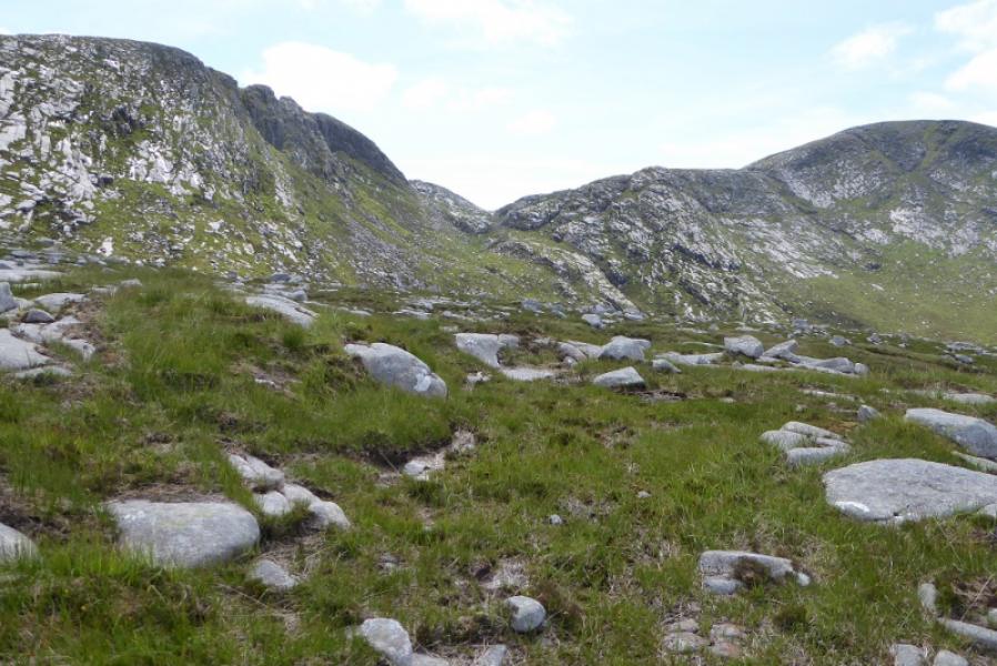
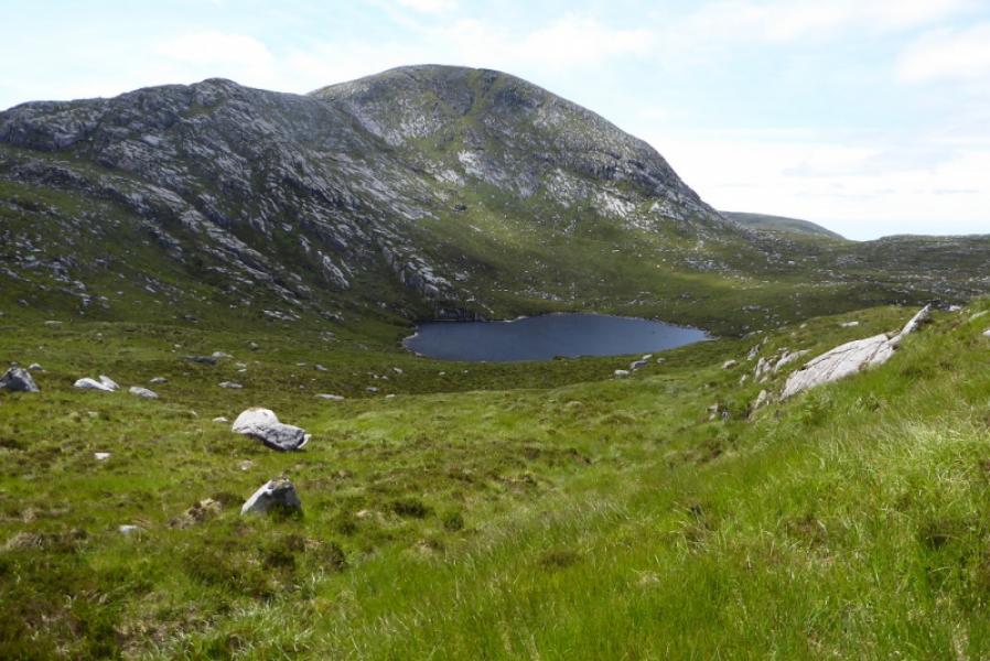
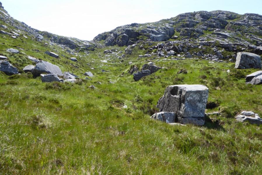
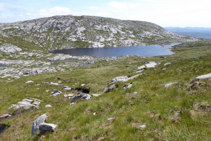
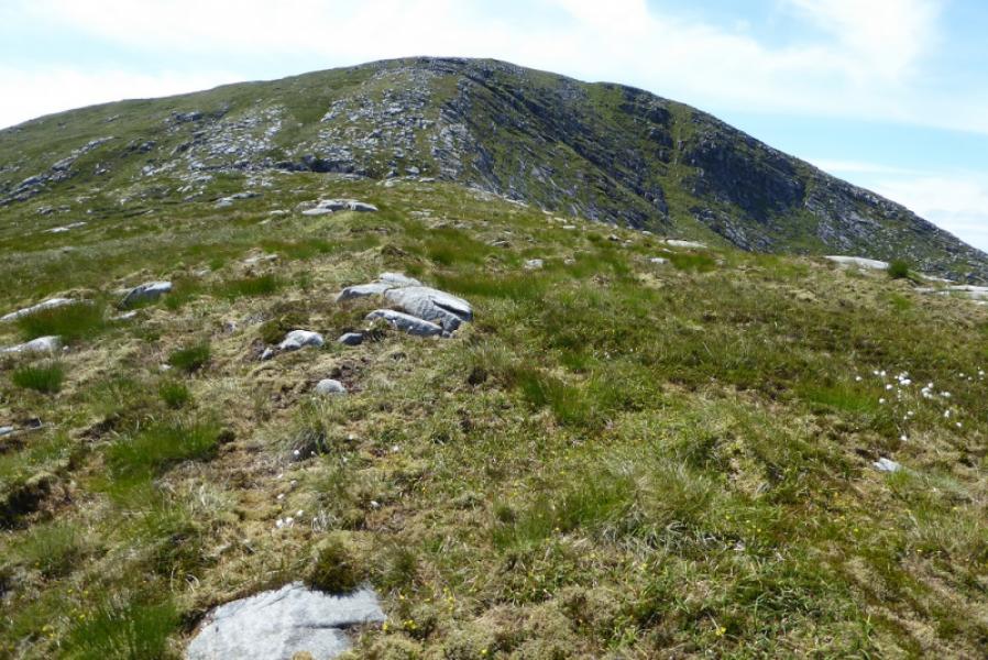
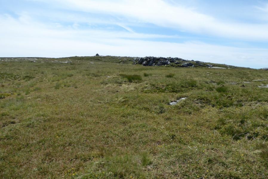
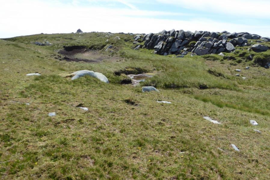
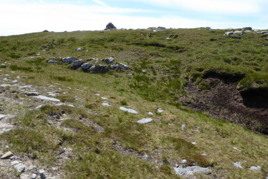
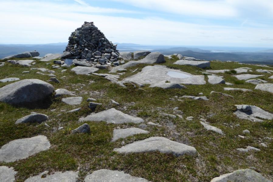
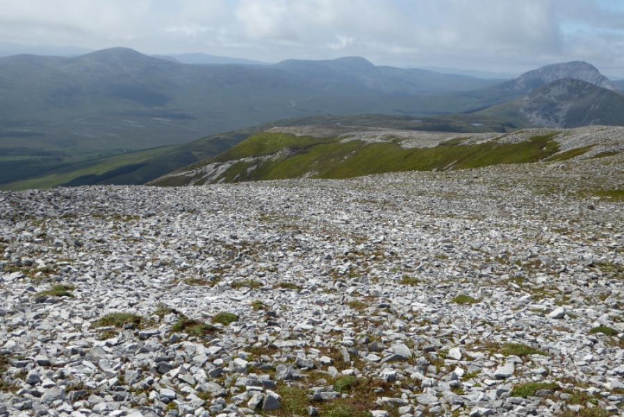
(1) From the hairpin bend after the roofless church, walk up the rough track/path for about 200 m until a small stone bridge is crossed. Leave the track and follow a faint path off to the right which leads to a stream. Cross over (normally straightforward) then head roughly S on a faint path. You are eventually aiming for the col at the foot of the NE ridge of Slieve Snaght which will have been seen from the start. Try not to lose the path as it goes all the way to this col but it is faint in places. A ridge before Slieve Snaght and sometimes blocking its view should be passed to its left. Soon after you will look down on Loch an Mhama which sits below Slieve Snaght. Traverse across towards the col at the foot of the NE ridge. The path is difficult to follow in places. Try not to be drawn into the boulders even if that means losing some height. Reach the col between Sliebve Snaght and Top 595. Outflank the crags and pick a way onto the NE ridge, soon looking down on Loch Shliabh Sneachta. Continue up the mainly grassy ridge to reach a grassy plateau. Push on and soon reach a large cairn which is the summit of Slieve Snaght, 678 m.
(2) Retrace the outward route.
Notes
(a) This walk took place on 7th July, 2019.
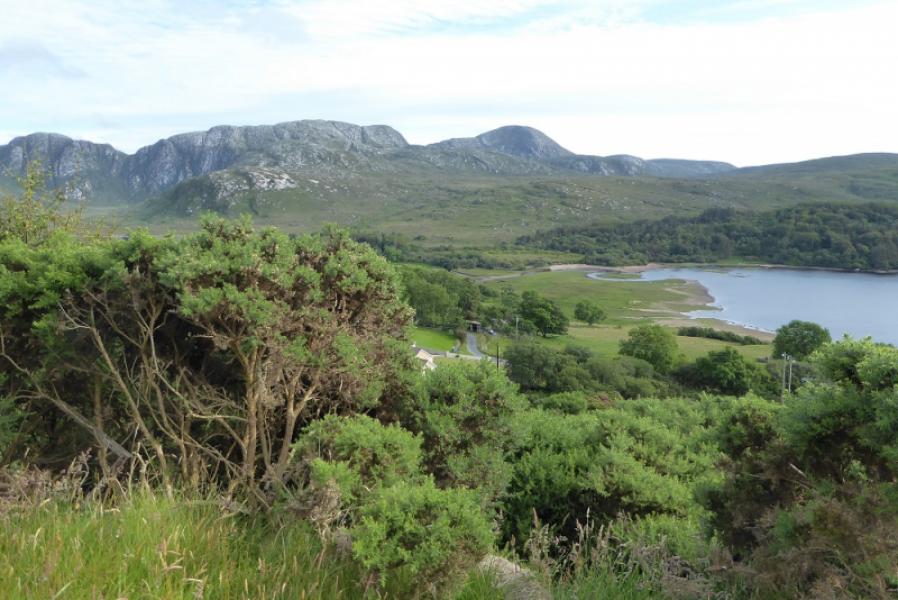
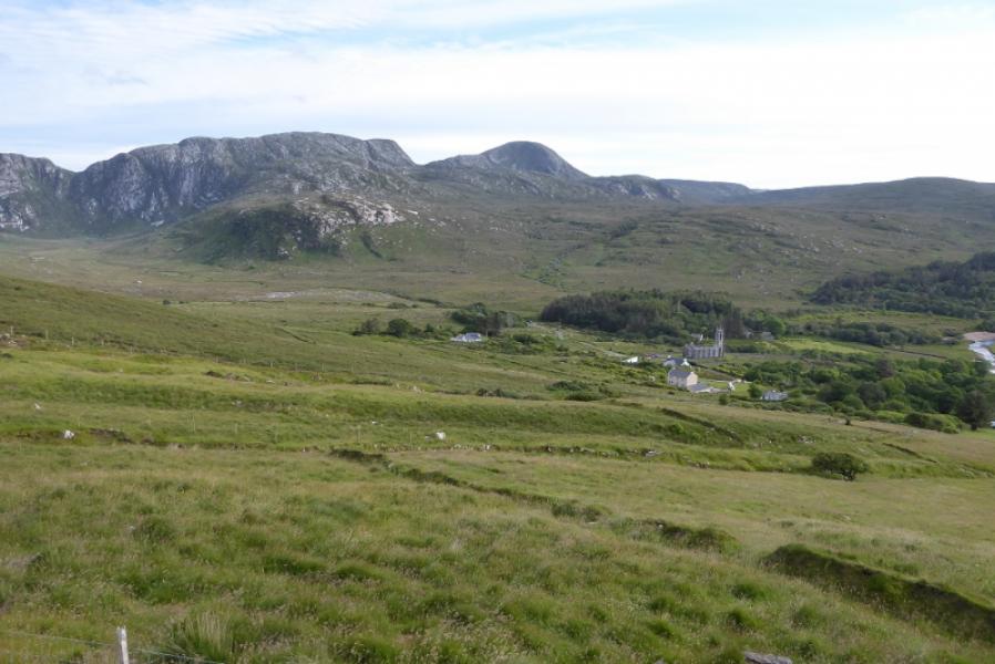
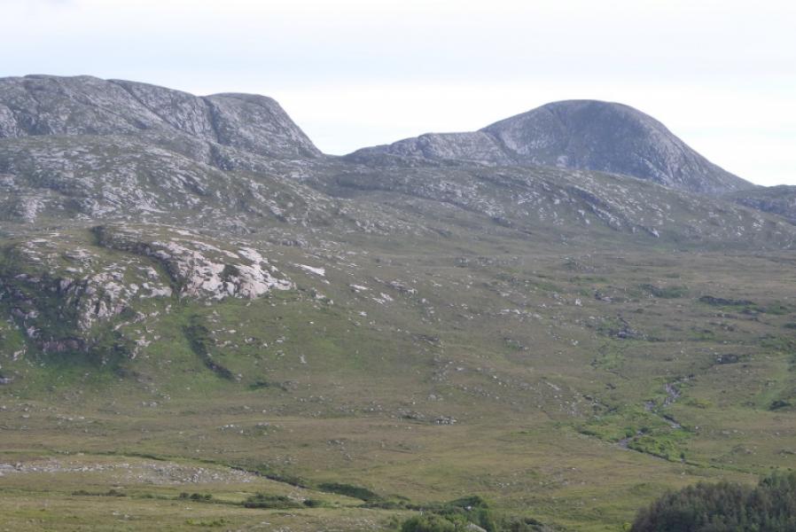
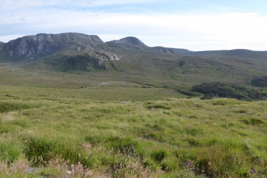
Photos - Hover over photo for caption. Click on to enlarge. Click on again to reduce.