Get Lost Mountaineering
You are here: Ireland » North » Donegal to Sligo
Croaghbann, Ardnageer & Bluestack from Edergole
Croaghbann, Ardnageer & Bluestack from Edergole
Start/Finish
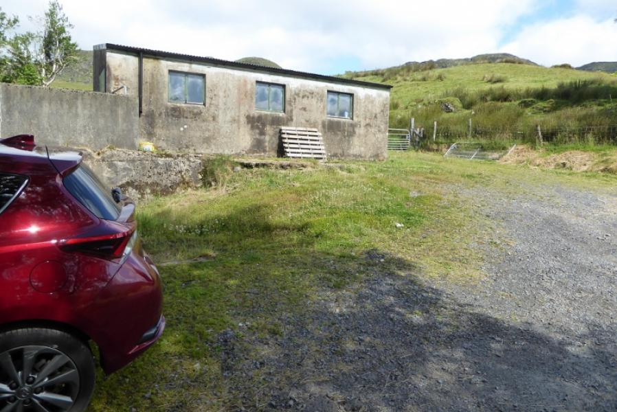
End of public road at Edergole where there is limited parking near outbuildings. From the N15 road between Donegal and Letterkenny, drive up the W side of Lough Eske and continue to Edergole.
Distance/Time
18 km. About 7 – 8 hours.
Peaks
Croaghbann, 641 m, G 978 910.
Ardnageer, 642 m, G 969 909.
Bluestack, 674 m, G 948 895. (Irish National Grid System)
Irish OS Discovery Series Map 11: Donegal, Fermanagh & Tyrone (1:50000)
Introduction
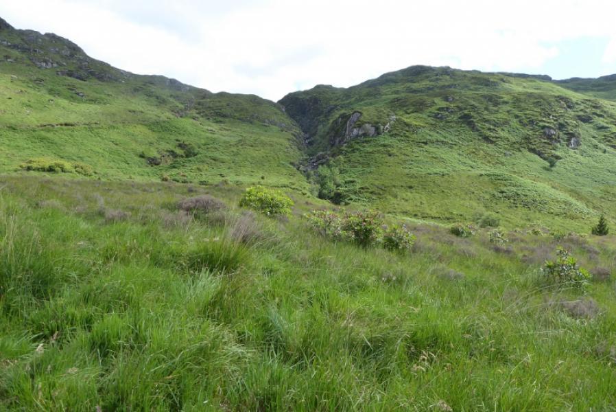
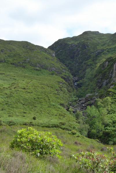
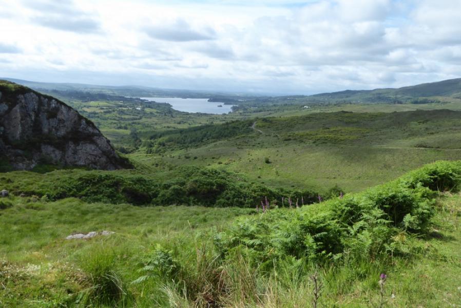
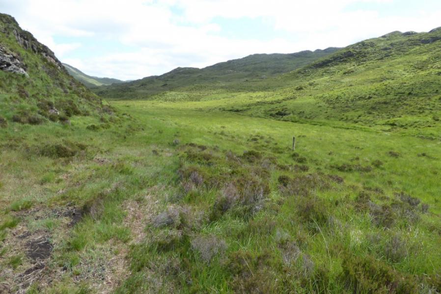
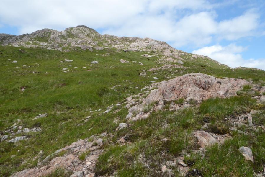
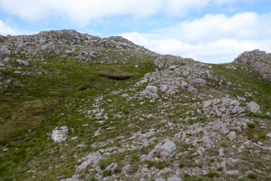
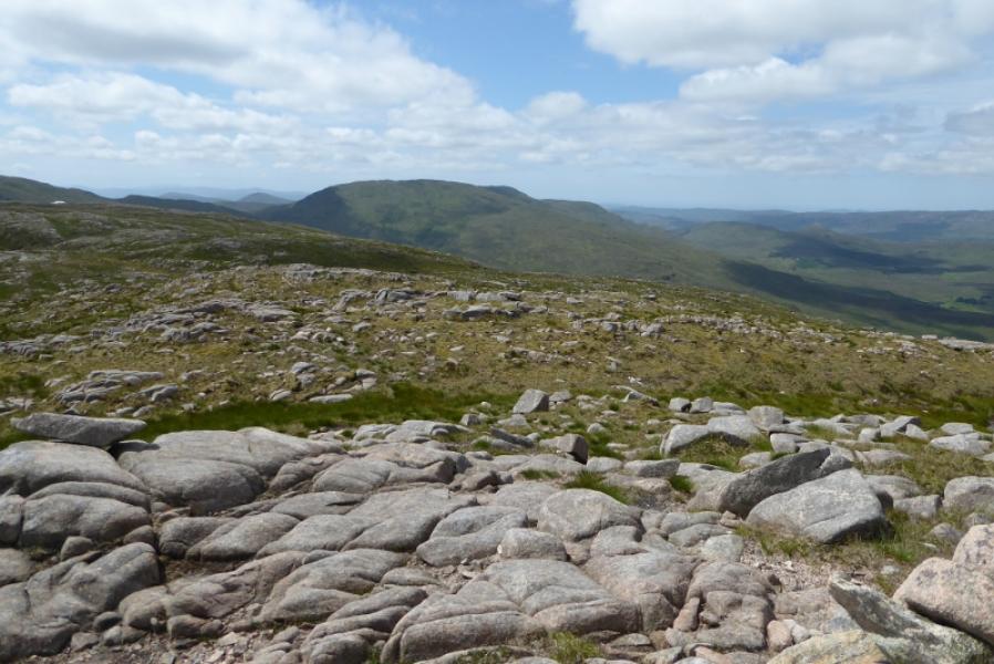
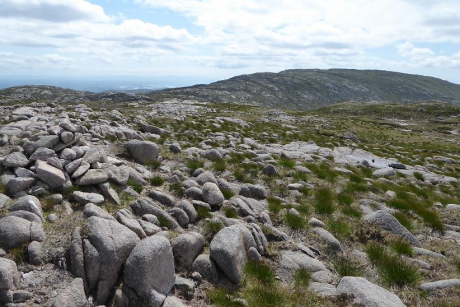
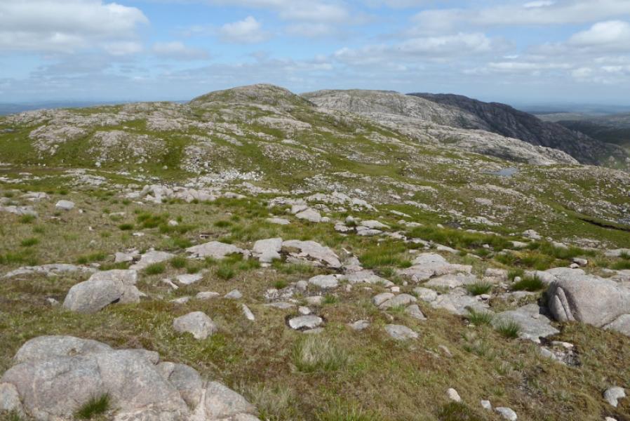
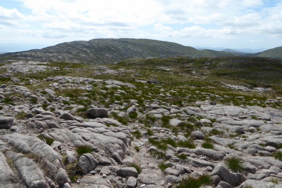
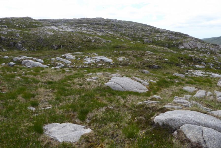
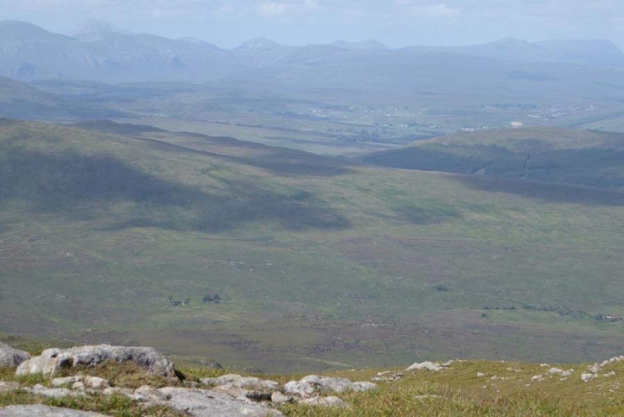
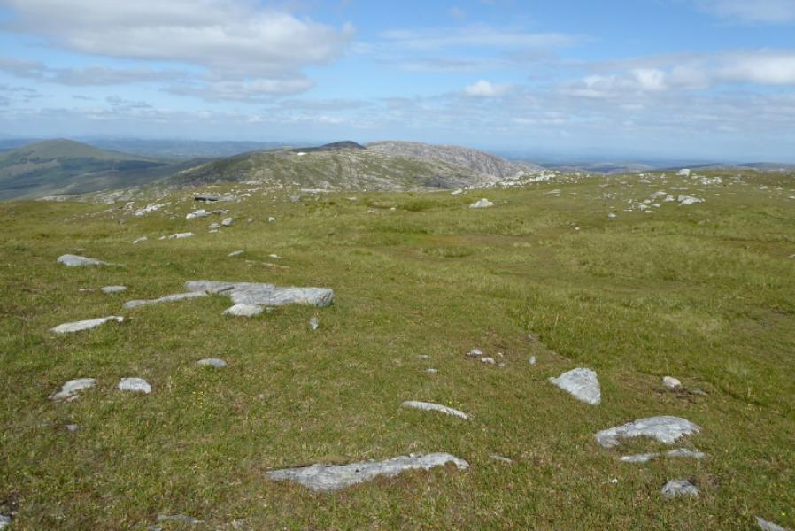
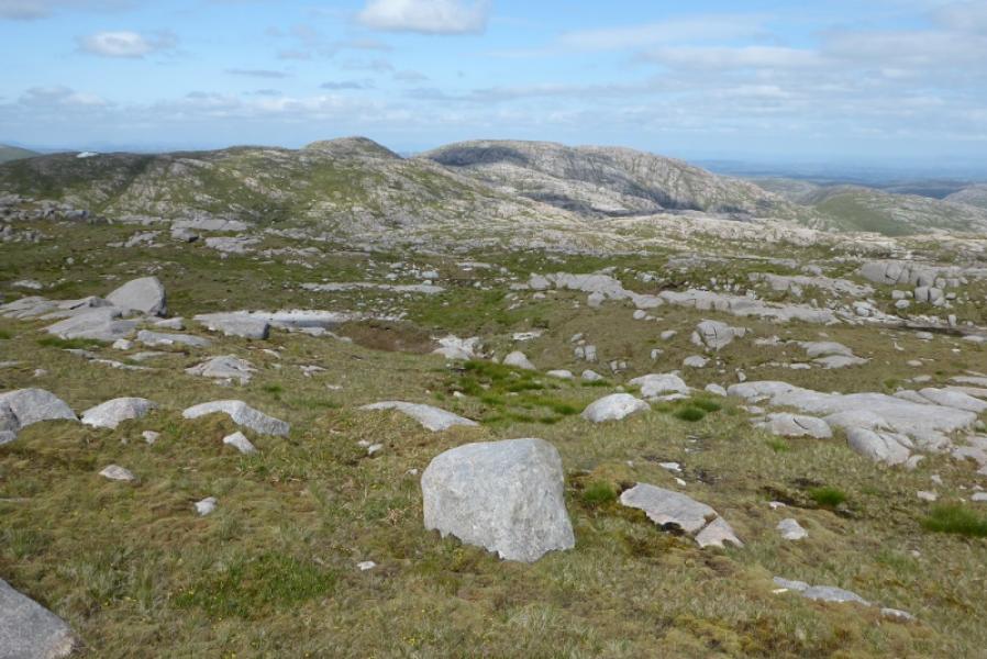
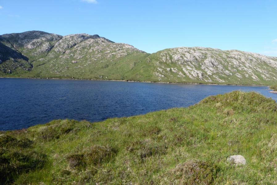
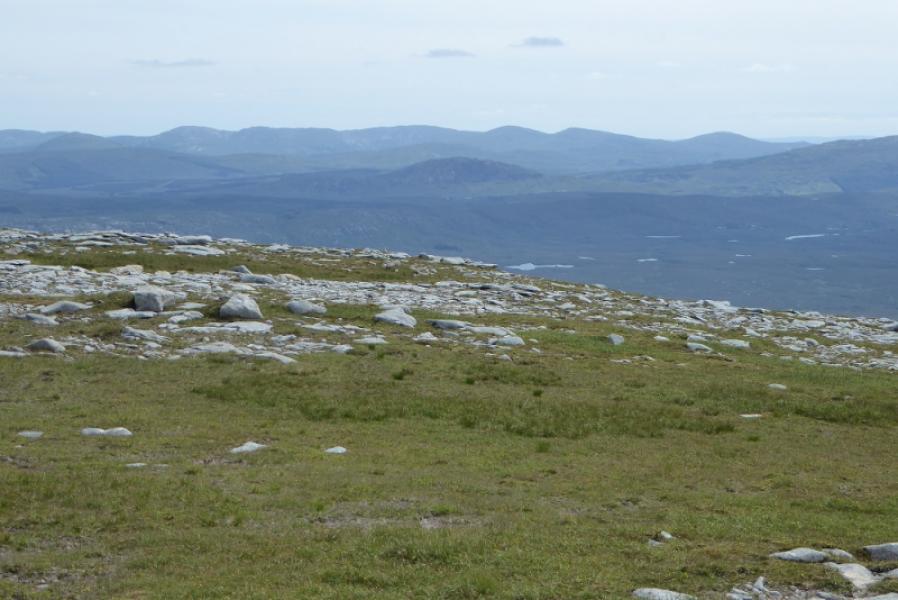
The Bluestack Mountains lie on the south side of the Reelan Valley and to the north of Lough Eske. They are quite rocky at their eastern end but very grassy at their western end. This route covers the eastern end of the range. It is virtually pathless with moderately steep gradients and is a tough day out on the hills. On a clear day, the views are excellent and include the other Bluestack Mountains and the mountains around Errigal to the north. This route is definitely not recommended in poor visibility.
Route
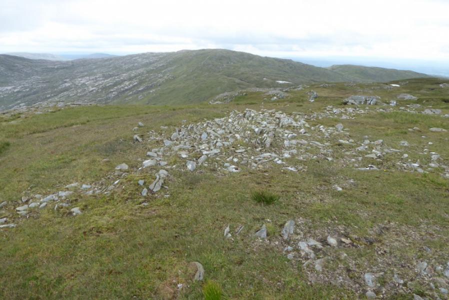
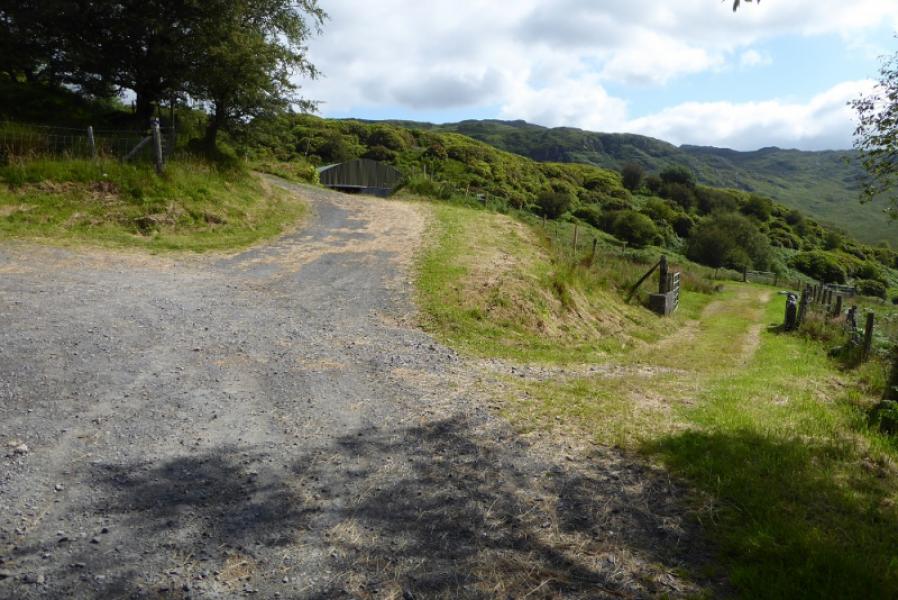
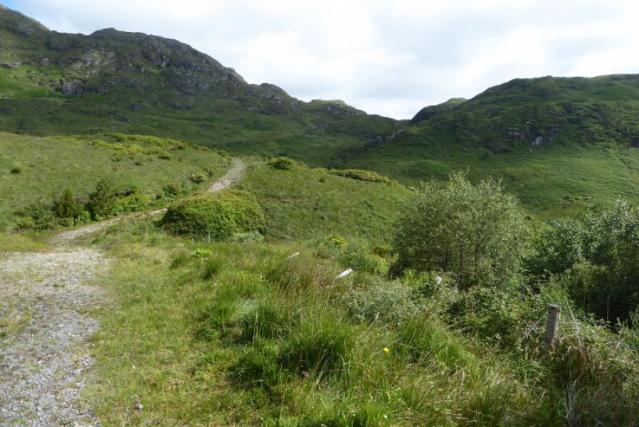
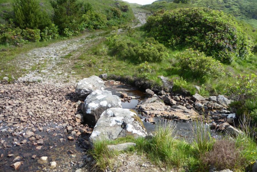
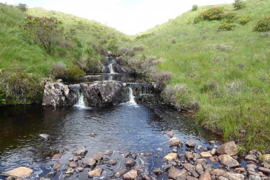
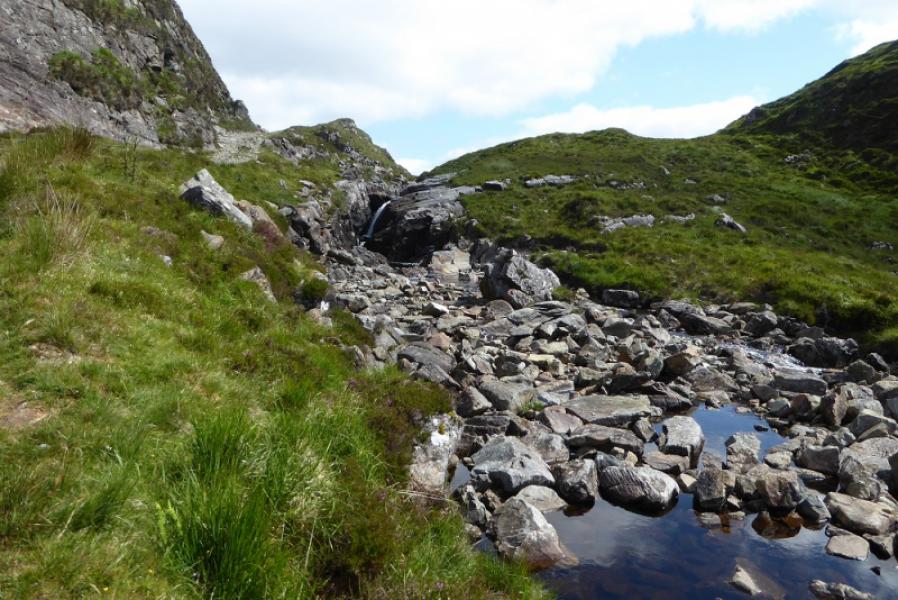
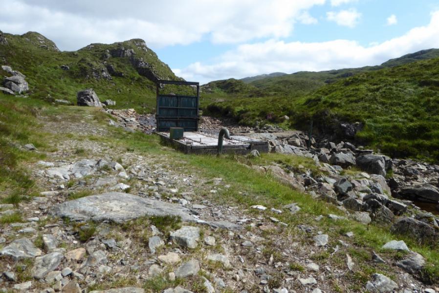
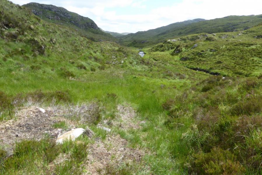
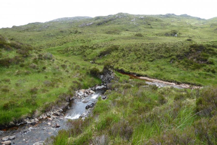
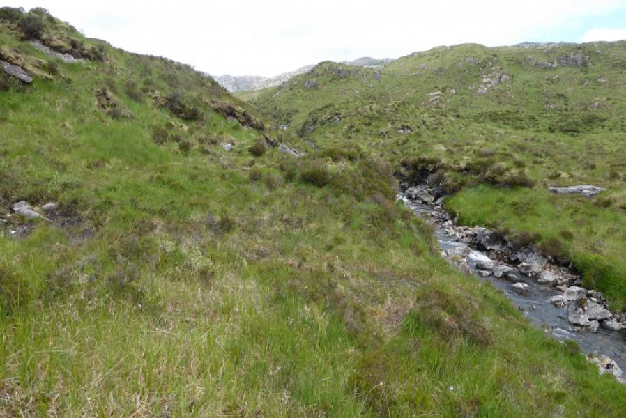
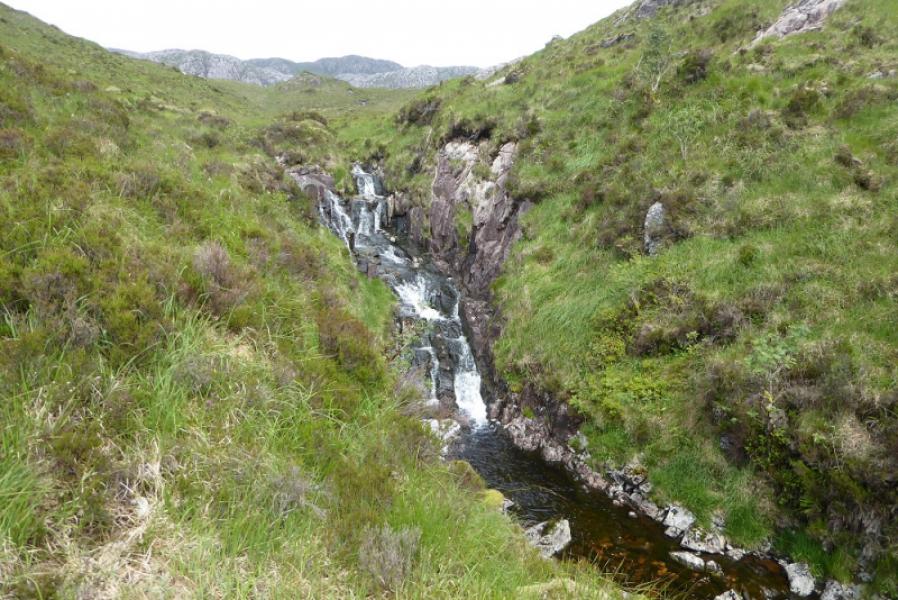
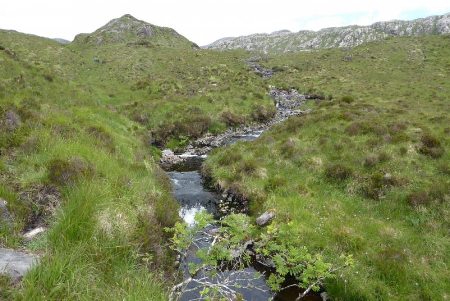
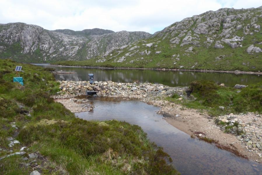
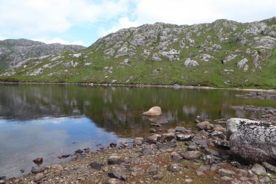
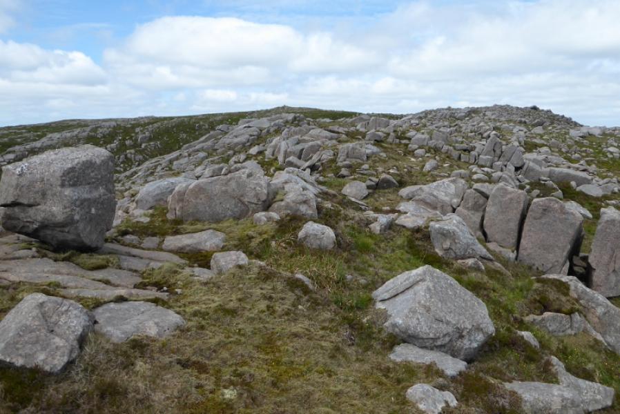
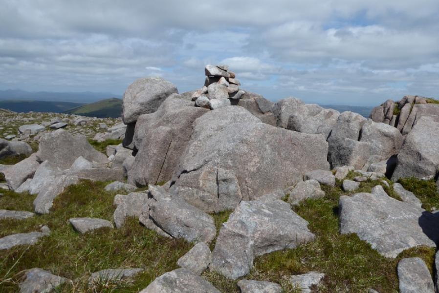
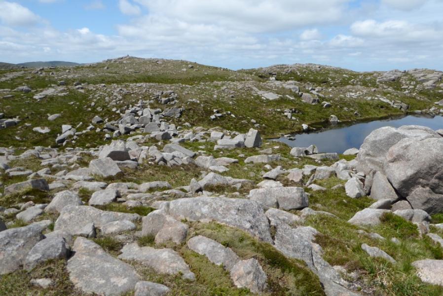
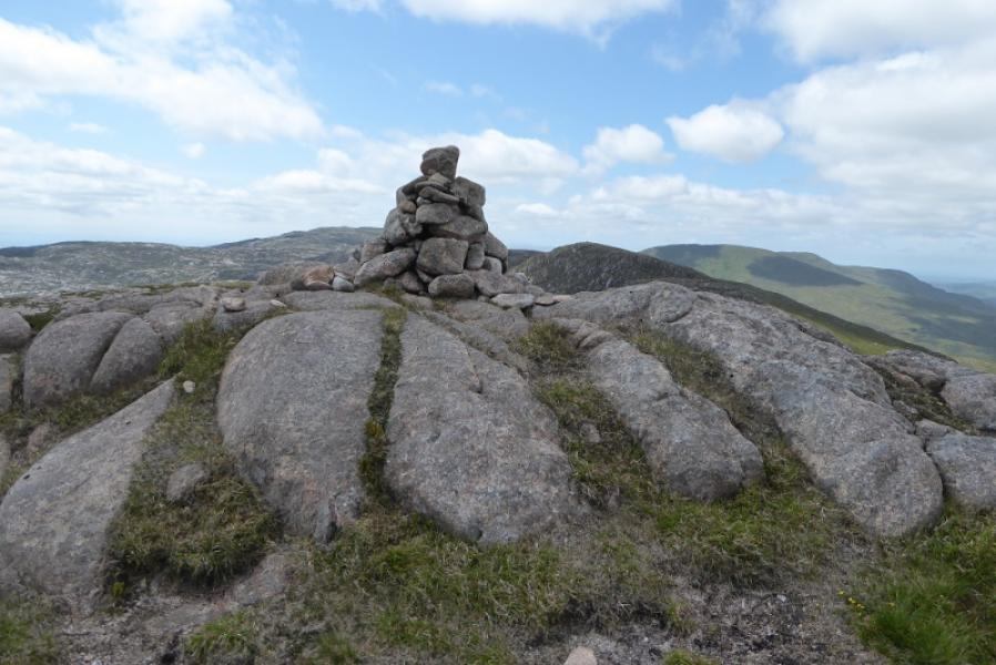
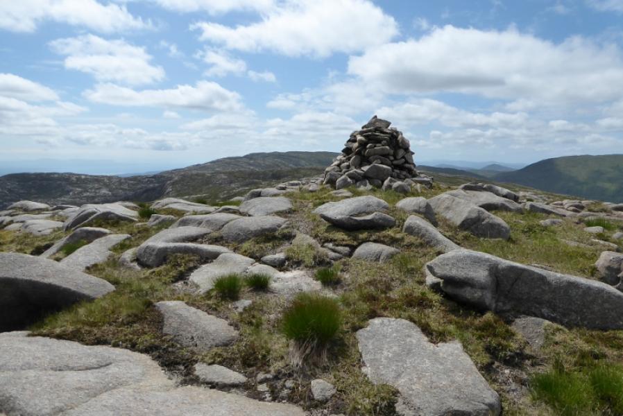
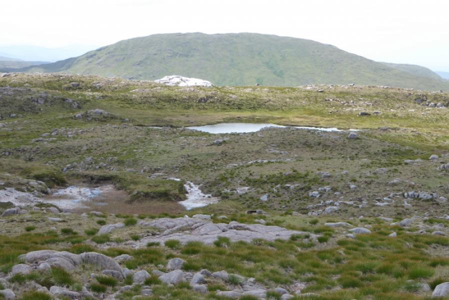
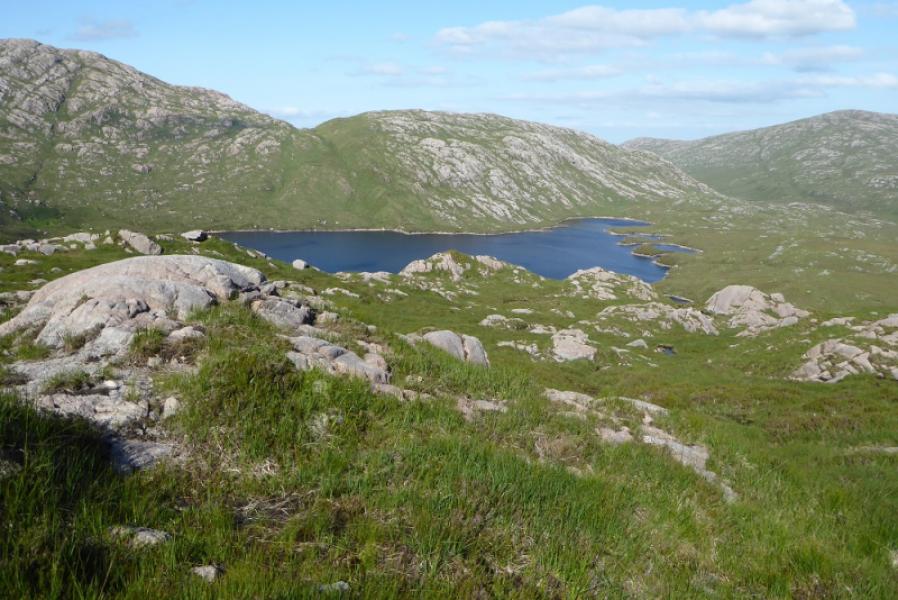
(1) From Edergole, continue up the track which soon passes through a gate. Follow the track for about a km to its end by a water catchment scheme. Continue on a rough path to a confluence. Go left and follow a rougher path up to Lough Belshade. Cross the boulder dam and continue around the lake, going over the bottom of an obvious spur. Soon after this, ascend broad grassy slopes by a tiny stream. The going is tough up this slope but eventually reach the SE col of Croaghbann. Turn left and pick a way up the moderately steep complex SE ridge. Reach a small cain on an outcrop which is the E Top. Go W over easy ground to reach a medium cairn which is the summit of Croaghbann, 641 m.
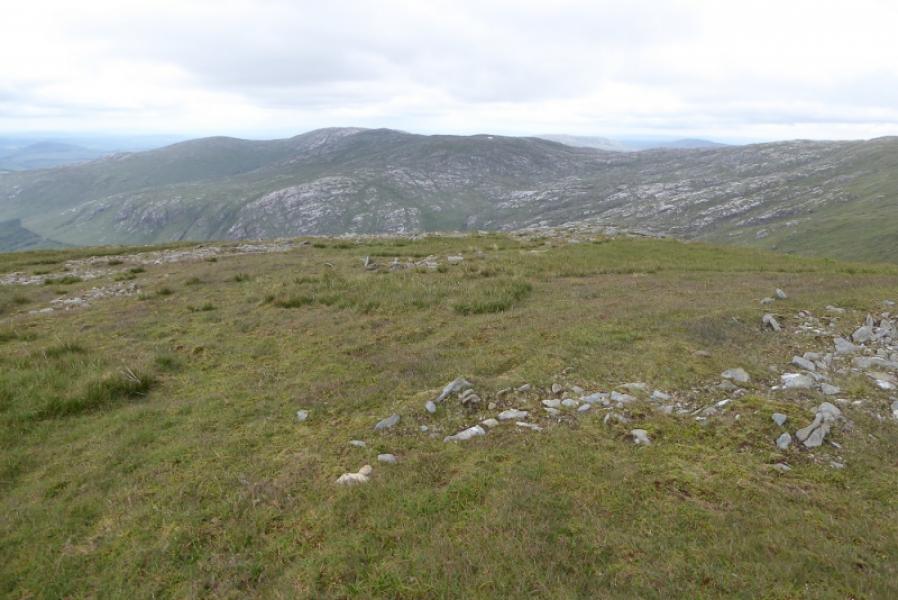
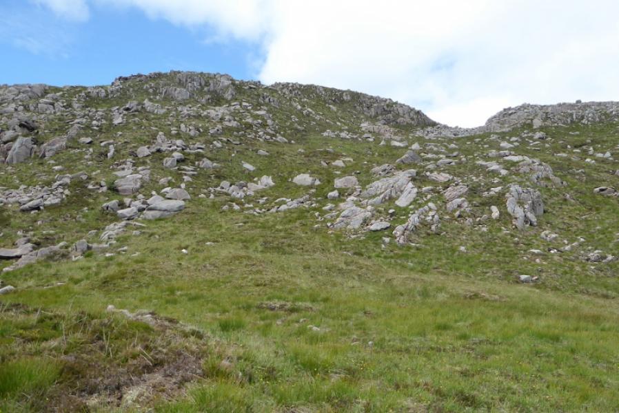
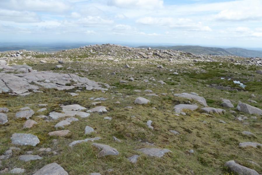
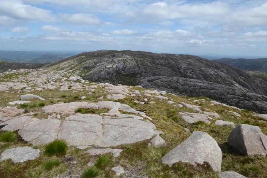
(2) Descend roughly W over easy ground then easy slabs to reach a col. Continue up the other side and rewach a medium cairn which is the summit of Ardnageer, 642 m.
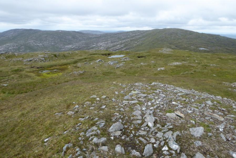
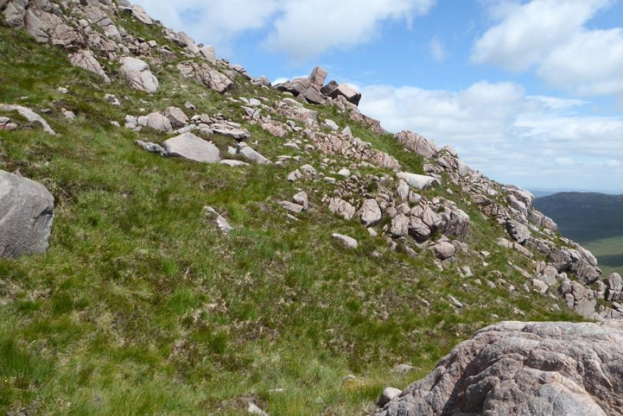
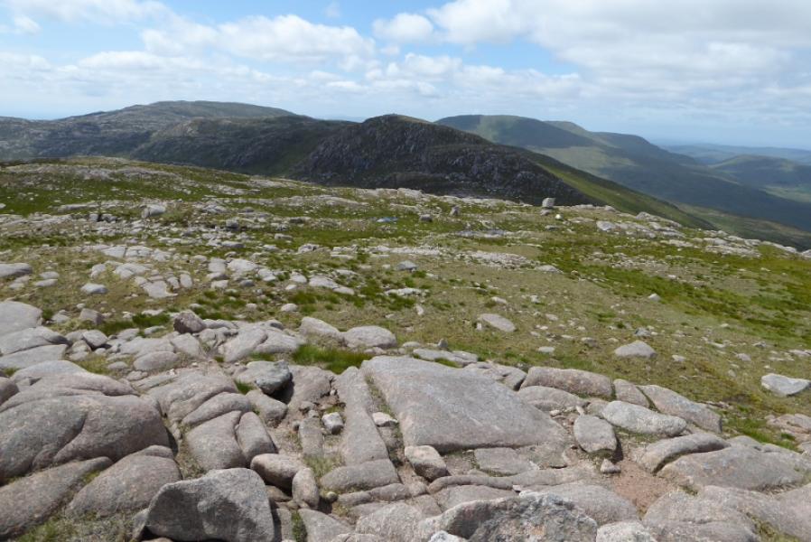
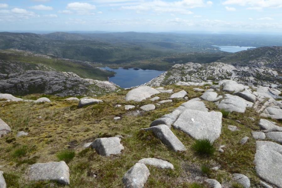
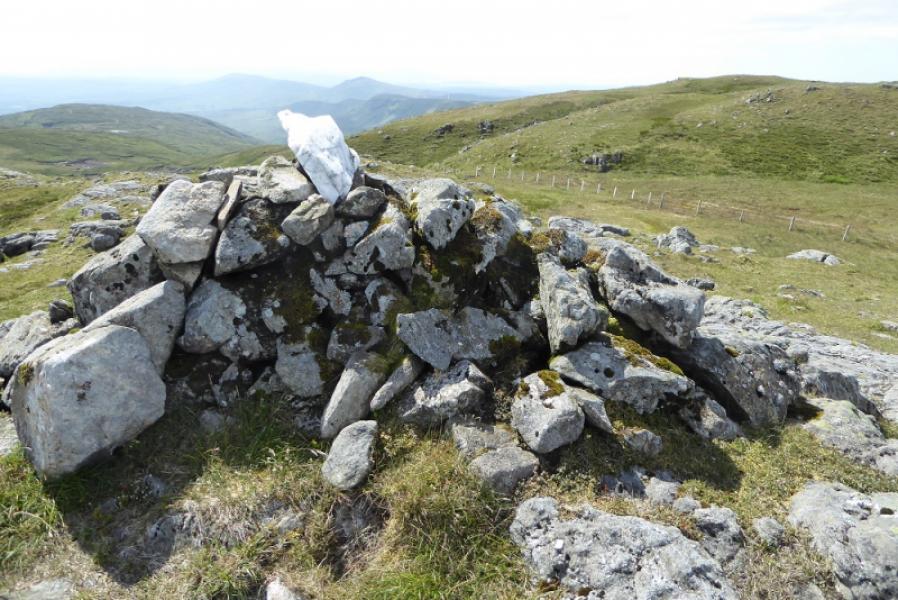
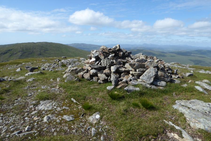
(3) Descend WSW on easy ground then ascend a little to reach a small cairn (not obvious) which is Top 626. To the north is a white outcrop of quartzite. Continue, roughly SE, down to a broad complex col then turn W and start ascending the complex ridge of Bluestack. Just before a fence, there is a medium cairn which is the E Top and a splendid viewpoint for Lough Eske. Cross the fence and continue W to reach a low shelter cairn which is the summit of Bluestack, 674 m.
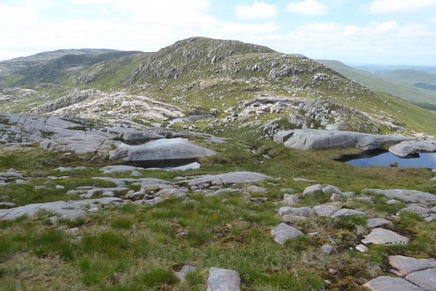
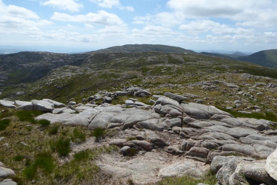
(4) Retrace down the ridge for about a km then head roughly E trying to avoid any needless loss of height. It will be some time before Lough Belshade comes into view and one can start descending towards it. As height is lost, the ground becomes rougher and wetter. Reach the lough and follow its edge to reach the boulder dam then retrace the outward route.
Notes
(a) This walk took place on 6th July, 2019.
Photos - Hover over photo for caption. Click on to enlarge. Click on again to reduce.