Get Lost Mountaineering
You are here: Ireland » North » Donegal to Sligo
Lavagh Beg & Lavagh More from Reelan Valley
Lavagh Beg & Lavagh More from Reelan Valley
Start/Finish
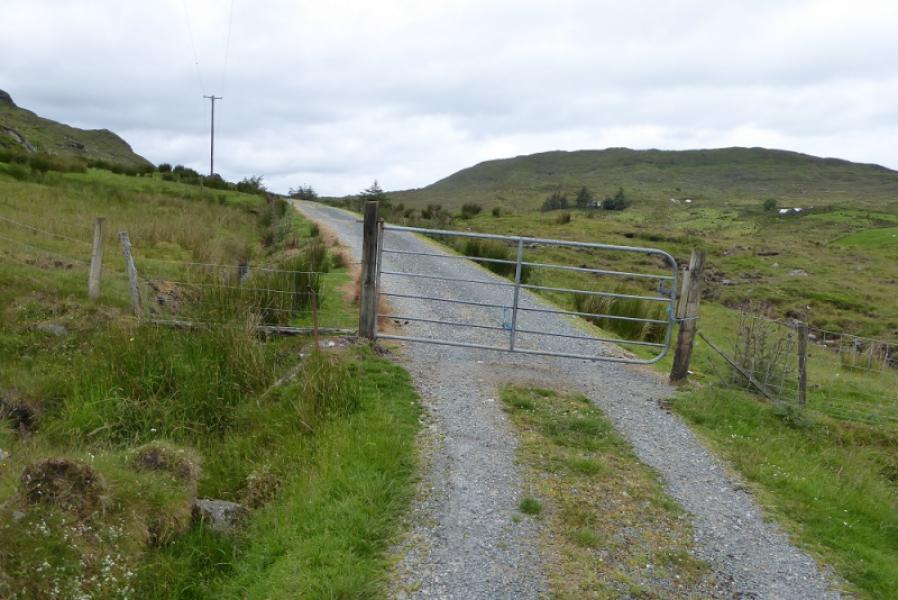
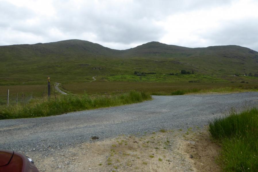
South side of bridge over the Reelan River at G 937 932. Parking is very limited so, if none available, park on the public road. The Reelan Valley road is off the R253 road between Ballyfoley and Glenties. The turning for the Reelan Valley is not signed so some may need to check with GPS that they have the correct turning! The track to the bridge is about 3 miles down the Reelan Valley road.
Distance/Time
7 km. About 3 – 4 hours.
Peaks
Lavagh Beg, 650 m, G 926 915.
Lavagh More, 671 m, G 935 910 (Irish National Grid System)
Irish OS Discovery Series Map 11: Donegal, Fermanagh & Tyrone (1:50000)
Introduction
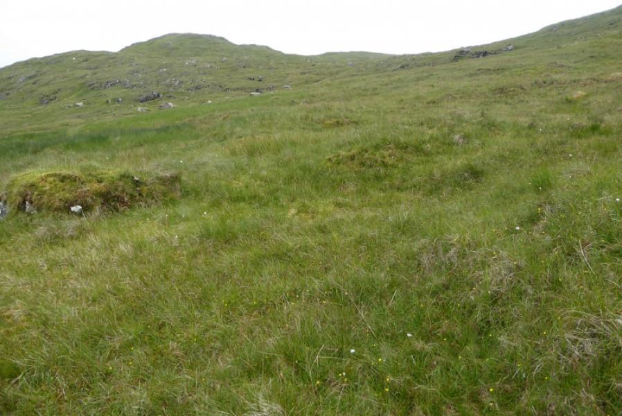
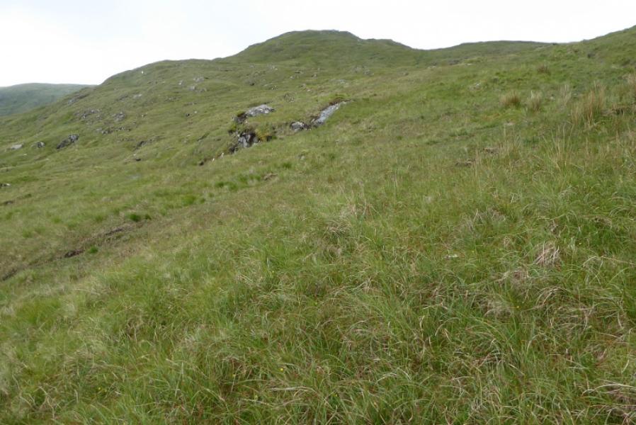
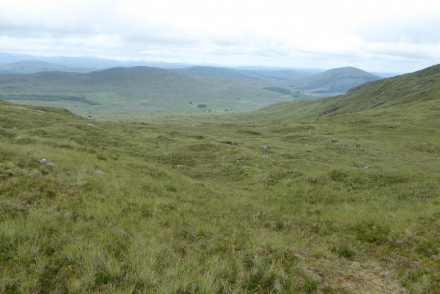
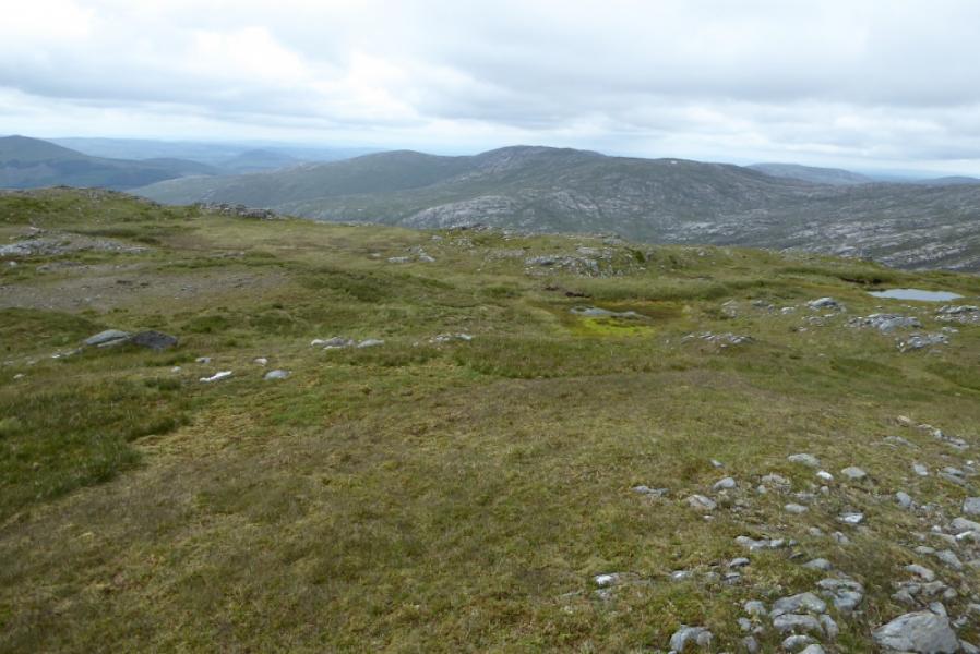
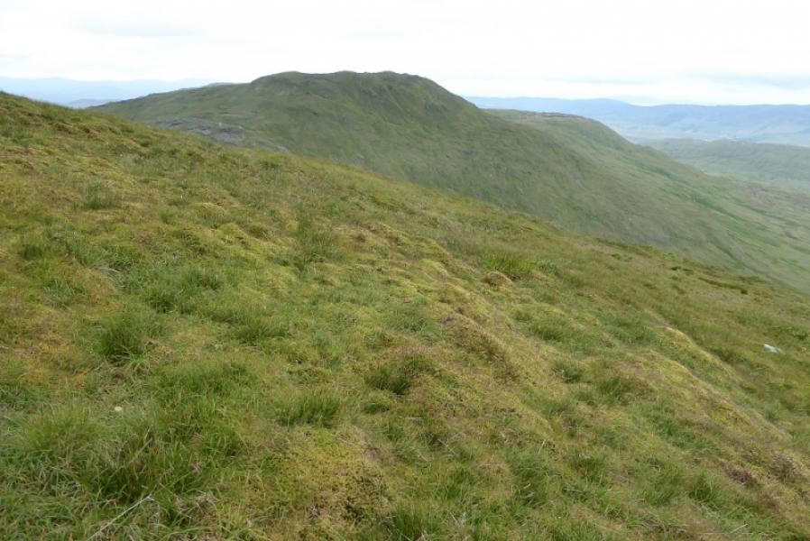
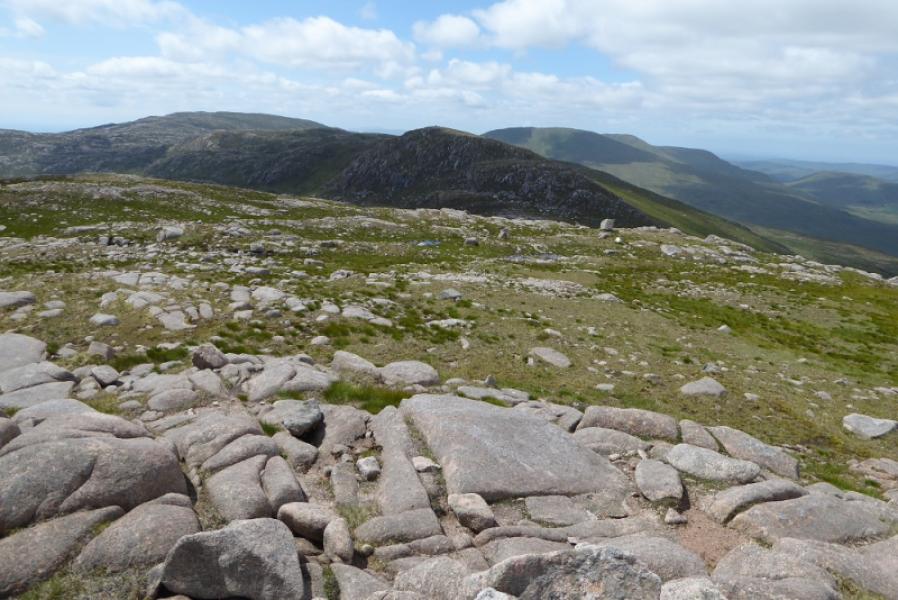
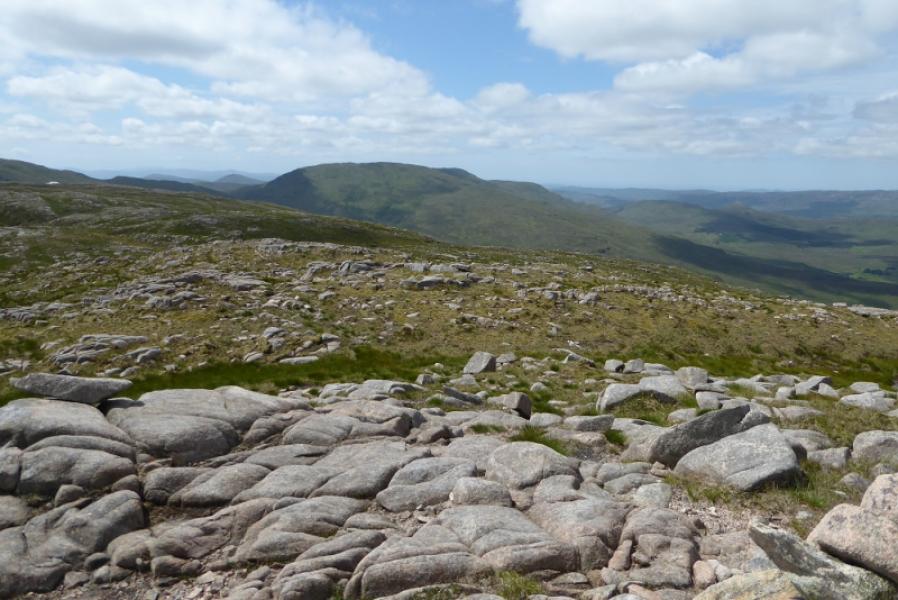
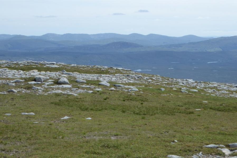
The Bluestack Mountains lie on the south side of the Reelan Valley. They are quite rocky at their eastern end but very grassy at their western end. This route covers the western end of the range. It is virtually pathless with moderately steep gradients. On a clear day, the views are excellent and include the other Bluestack Mountains and the mountains around Errigal to the north. This route is not recommended in poor visibility.
Route
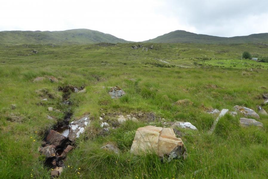
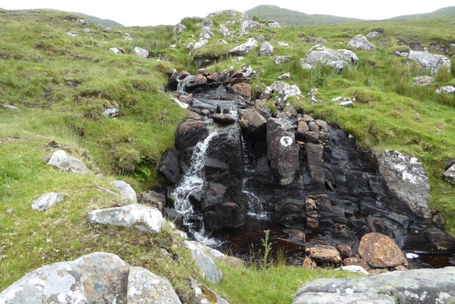
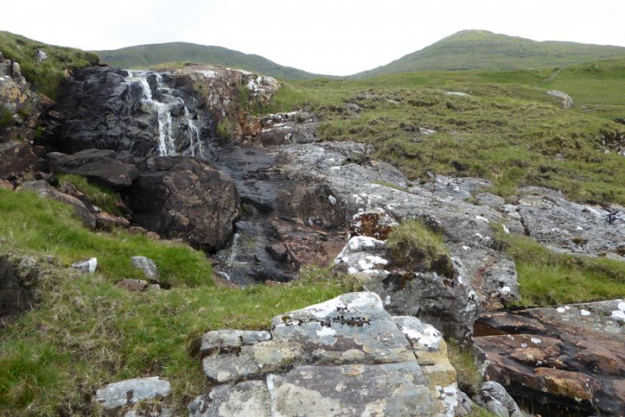
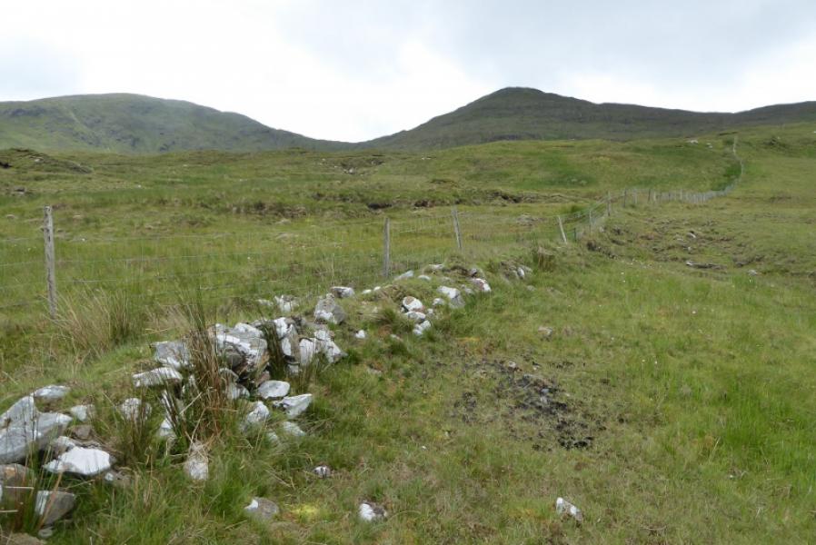
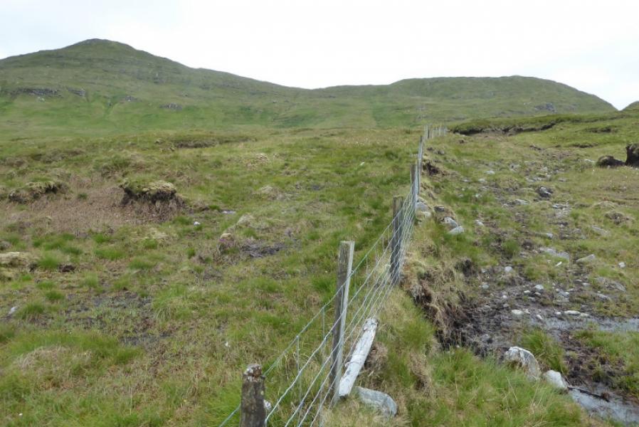
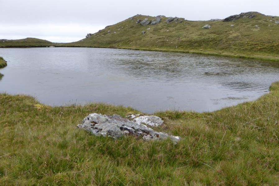
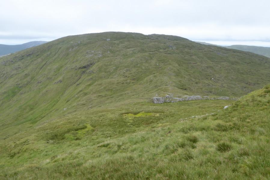
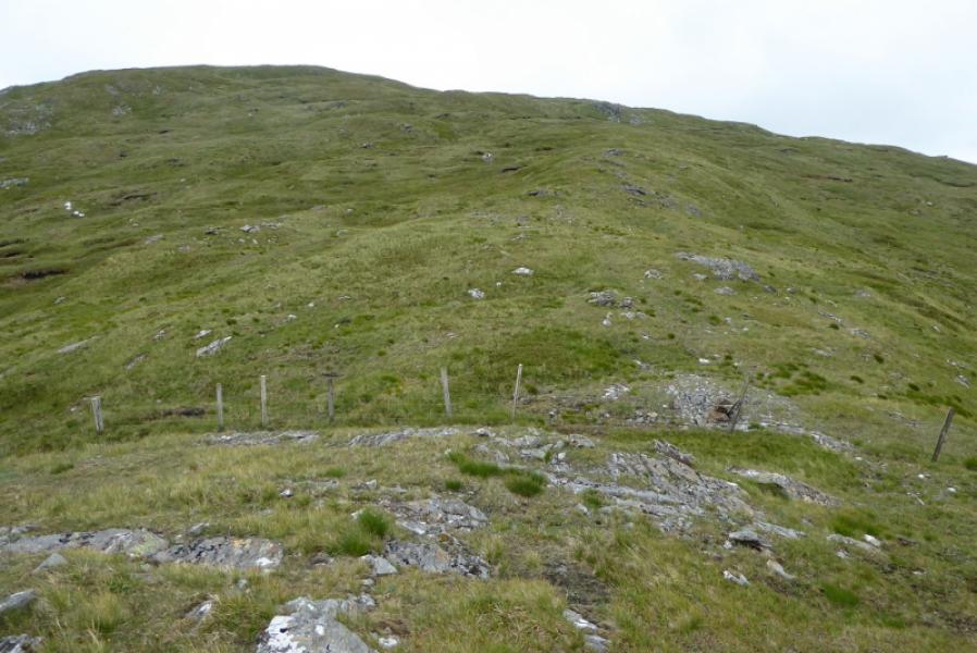
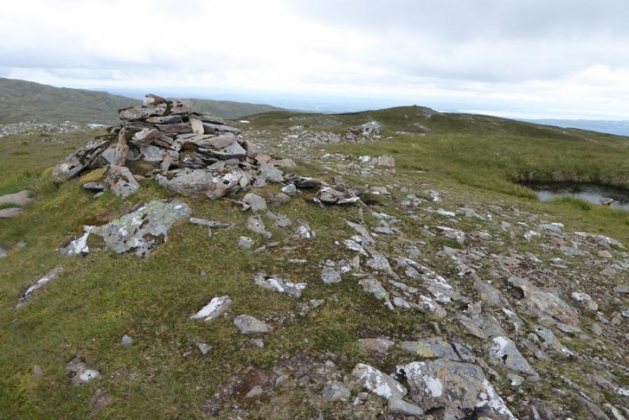
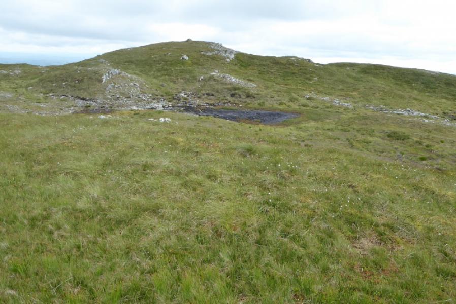
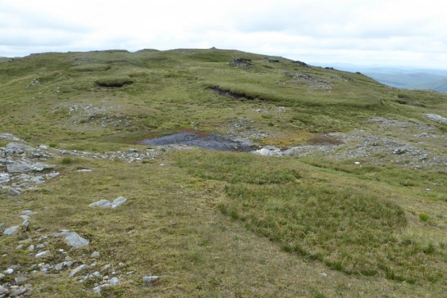
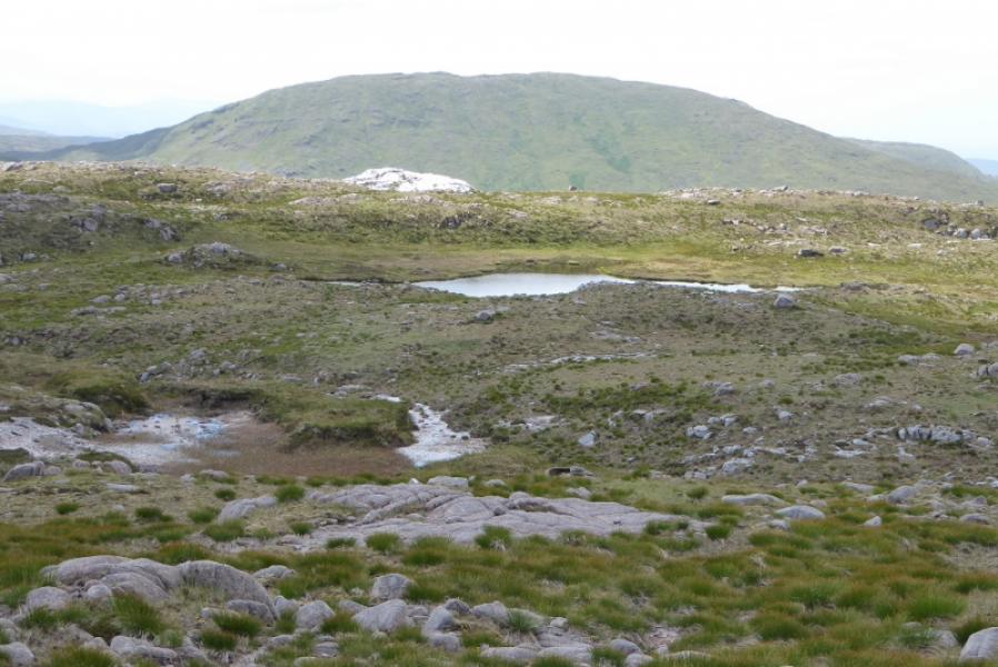
(1) From the bridge over the Reelan River, follow the track W until a metal gate is reached. Leave the track here and pick a way uphill, crossing the low fence at a convenient point after about 400 m. Continue shadowing the fence but drift slightly right to follow a stream up past some small waterfalls. Soon follow another fence towards the N ridge of Lavagh Beg. There is no path and some damp ground but nothing too bad. Aim for a dip on the N ridge. Higher up, drift left from the fence and pick the easiest way up grass to the N ridge then follow this to a small cairn which is the summit of Lavagh Beg, 650 m which has a small lochan on both its E and W sides.
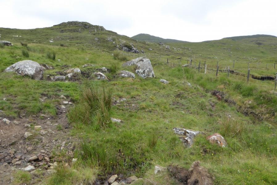
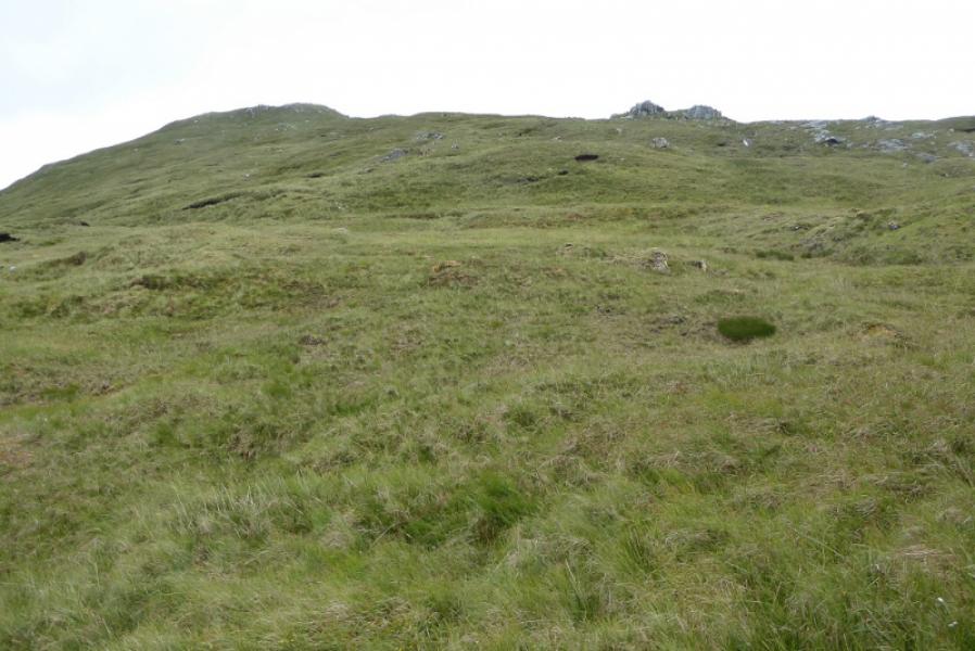
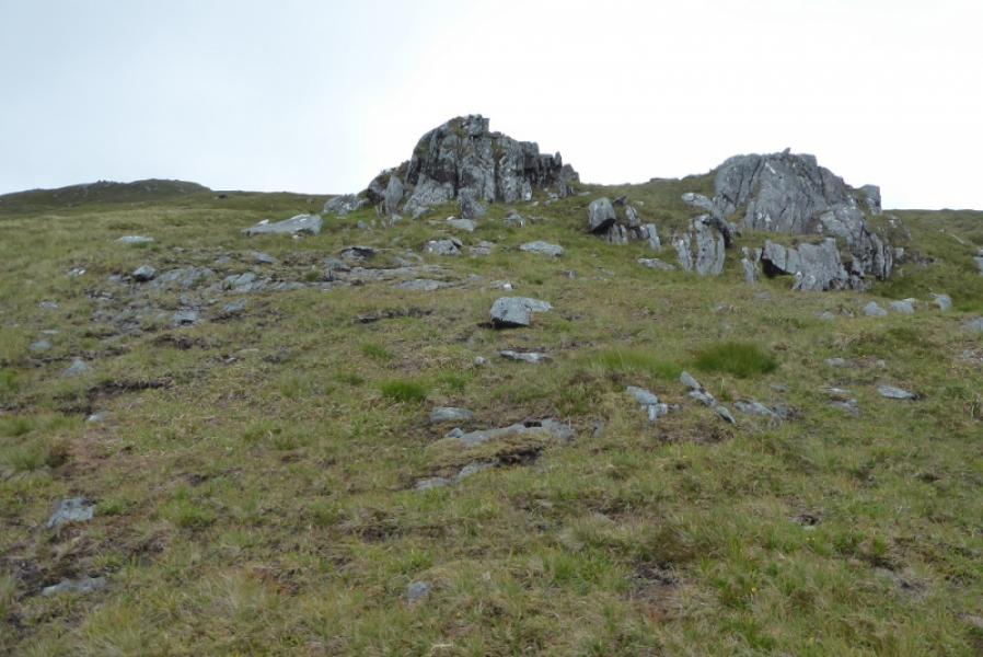
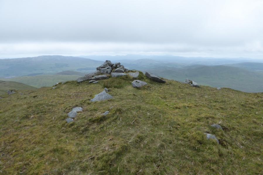
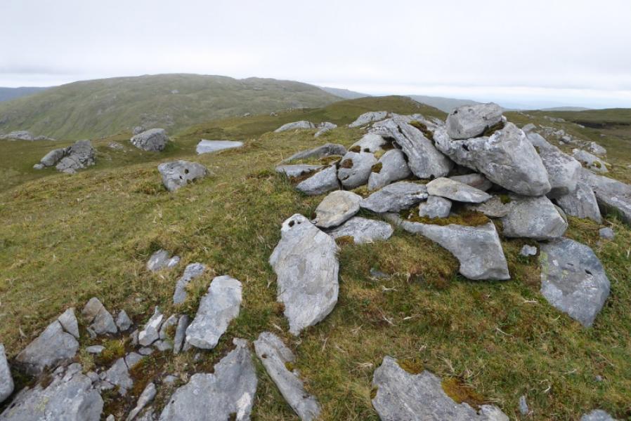
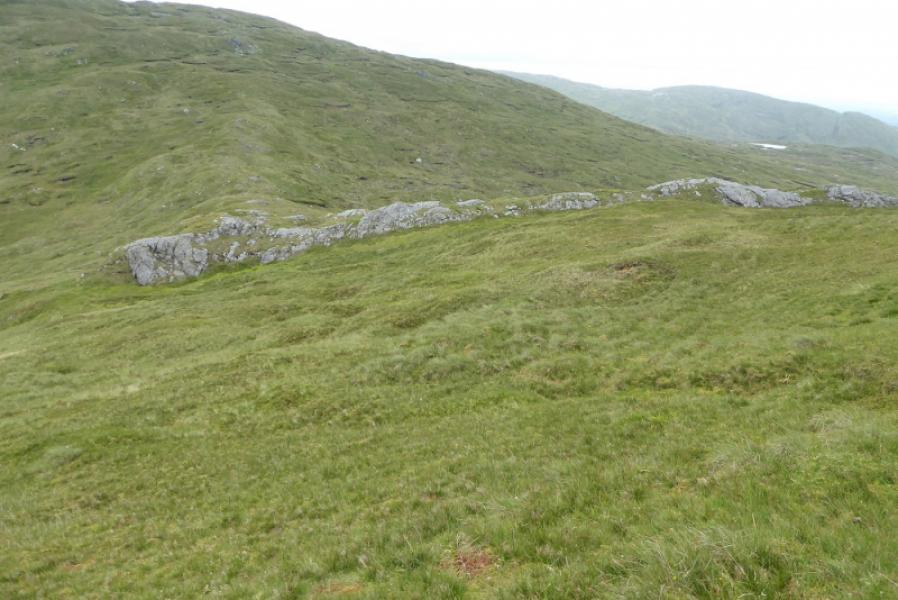
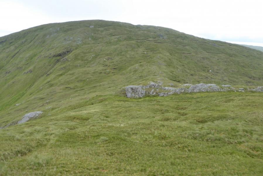
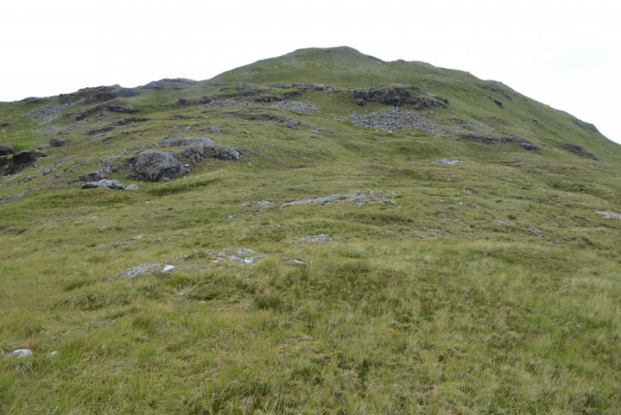
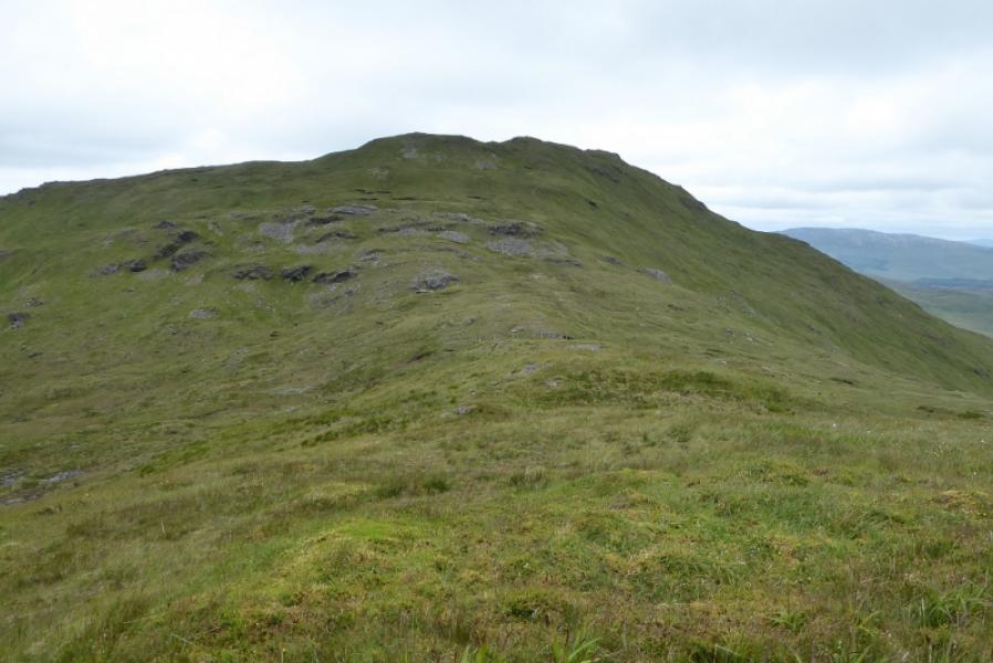
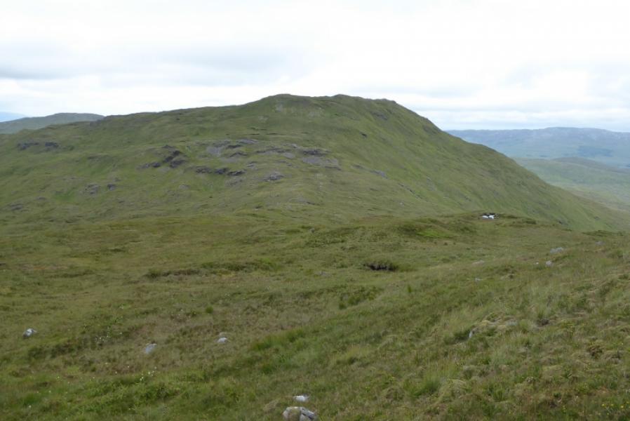
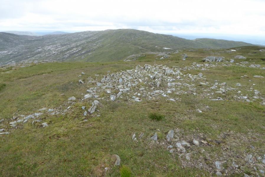
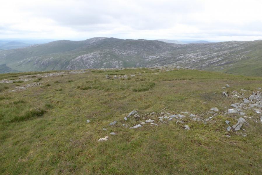
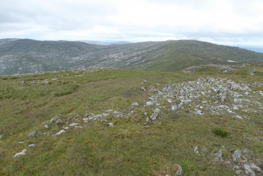
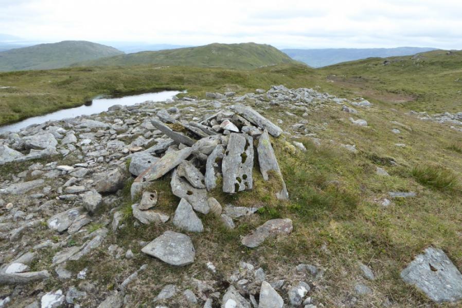
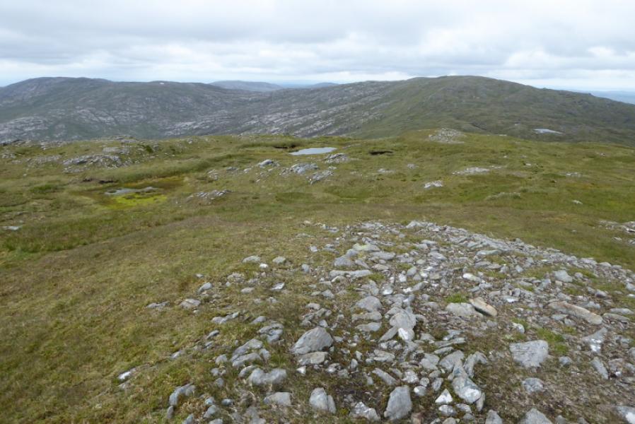
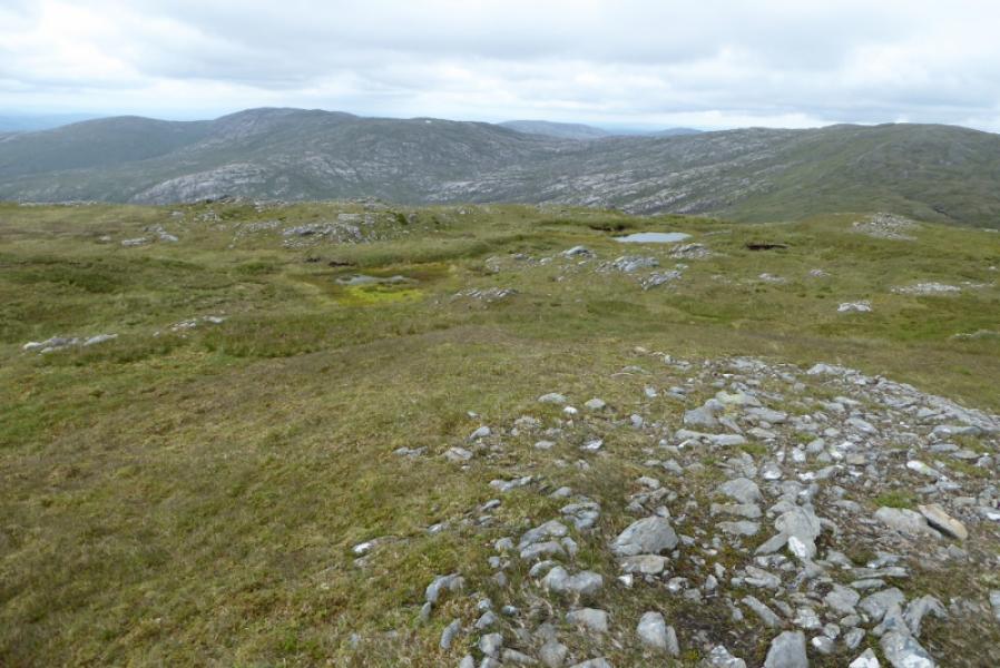
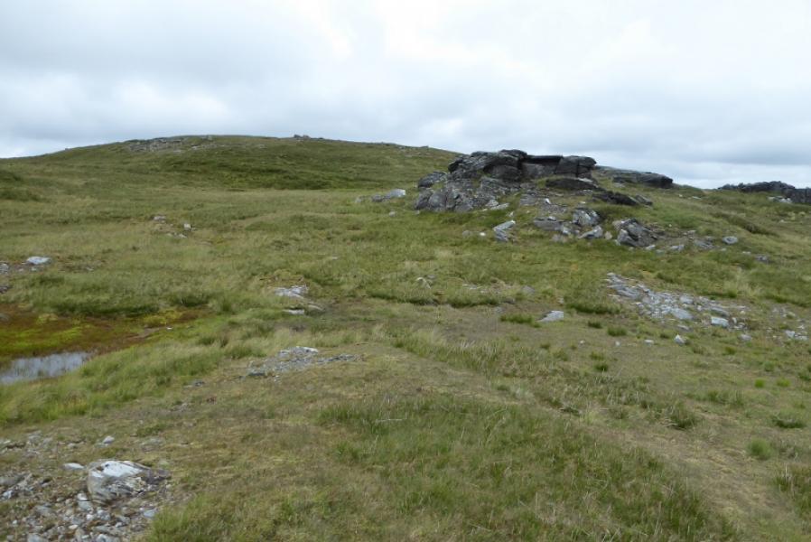
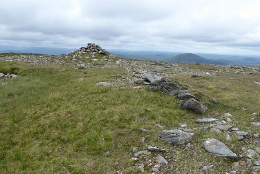
(2) Continue SE, soon descending moderately steep grass, towards the col below Lavagh More. There is a line of outcrop running through thecol and these should be passed on their left, E. Continue down to the col and cross the low fence then pick a way up a grassy rib. Continue up until the angle eases and is one on an undulating grassy plateau which would be confusing in mist. Reach a medium cairn which is the summit of Lavagh More, 671 m. In clear weather, there is another smaller cairn about 400 m to the S. This top is slightly lower but worth visiting for the views and just in case it ever becomes the main summit.
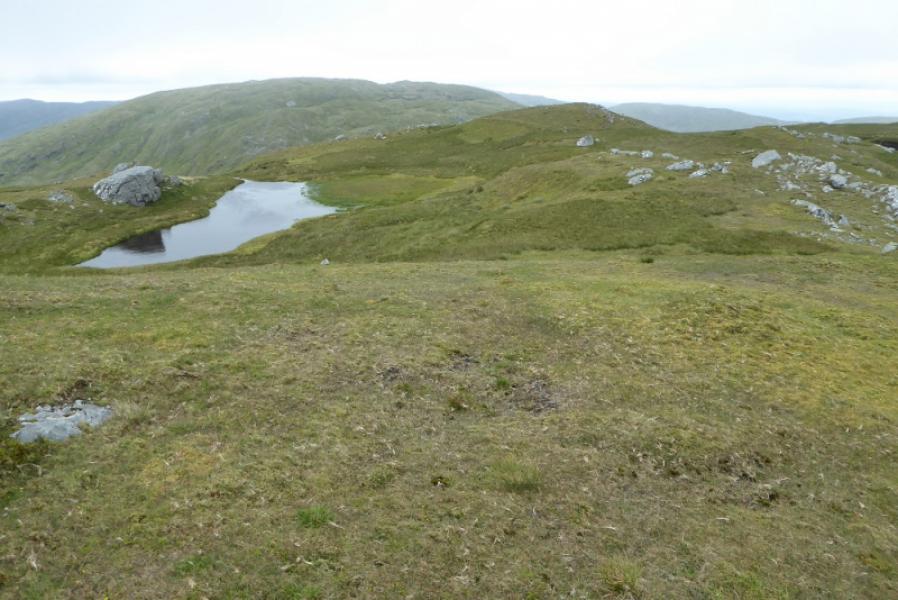
(3) Descend NNE down a broad grassy ridge for about 1 km then drift left to shadow the stream down then continue back to the bridge at the start. The ground on this descent is variable and can be short grass, long grass or wetter patches but there no serious difficulties.
Notes
(a) This walk took place on 4th July, 2019.
Photos - Hover over photo for caption. Click on to enlarge. Click on again to reduce.