Get Lost Mountaineering
You are here: Ireland » North » Sperrin Mountains
Mullaghaneany & Meenard Mountain from Glenedra Bridge
Mullaghaneany & Meenard Mountain from Glenedra Bridge
Start/Finish
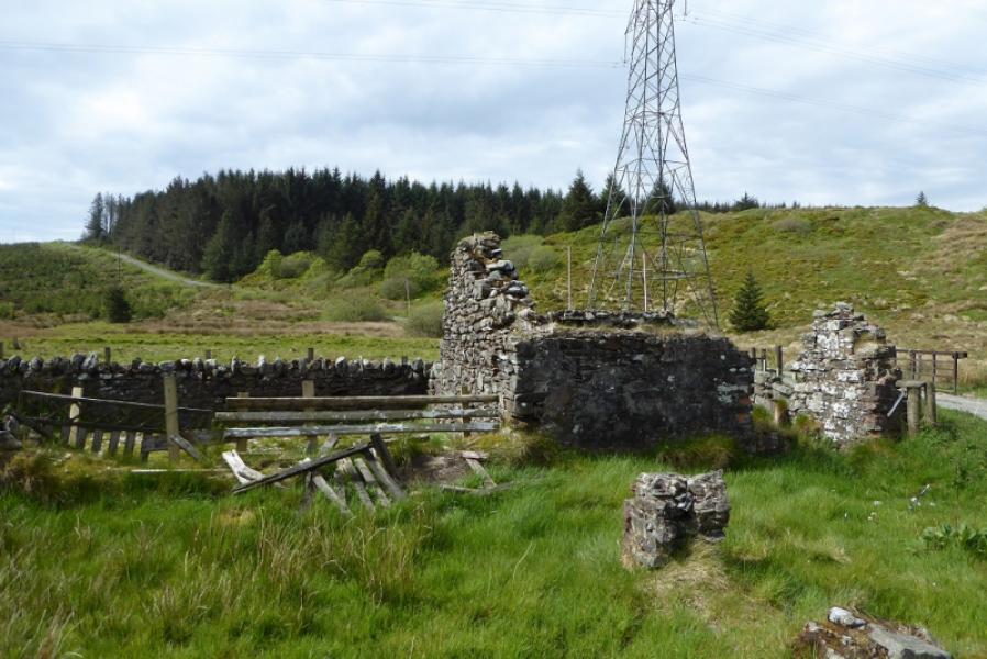
Ruin close to Glenedra Bridge at H 707 003. This is on the B40 between Moneyneany and Feeny. Parking is very limited and the forest tracks are well used so do not block them.
Distance/Time
9 km. About 4 hours.
Peaks
Mullaghaneany, 627 m, H 685 986.
Meenard Mounatin, 625 m, H 685 986. (Irish National Grid System)
Irish OS Discovery Series Map 13 (1:50000)
OSNI Activity Map: Sperrins (1:25000)
Introduction
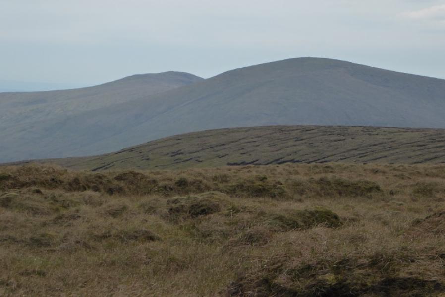
These are rough, grassy hills with hardly any path to be found. A good forest track takes one to the foot of Mullaghaneany. Note that these hills are on private land and some local farmers do not want walkers on their land so best not to draw attention to yourself!
Route
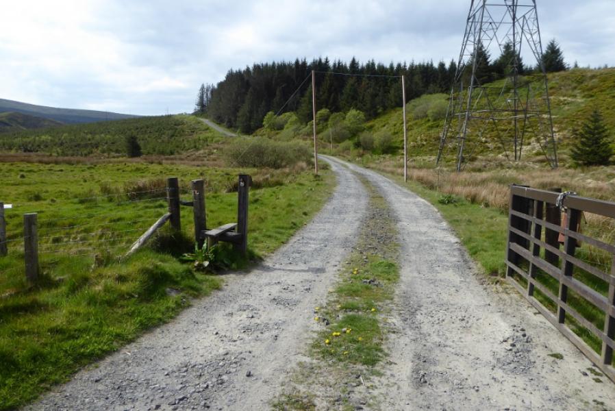
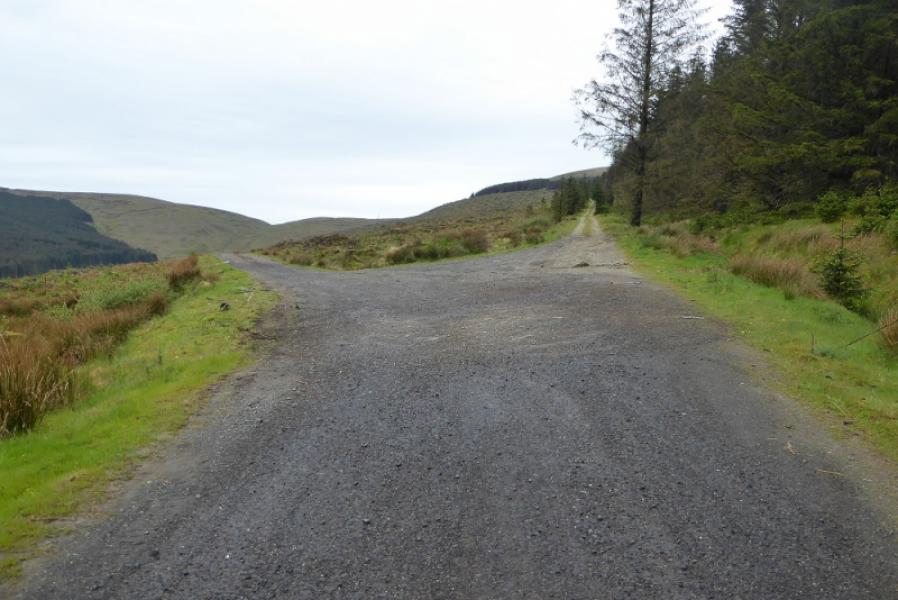
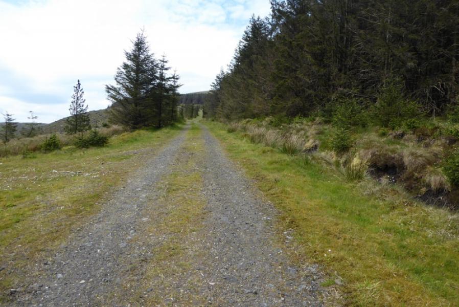
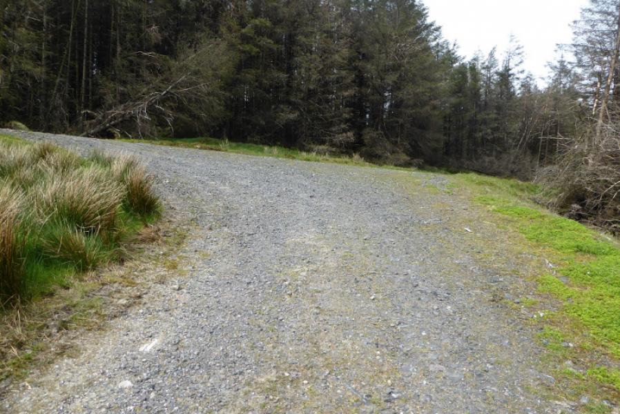
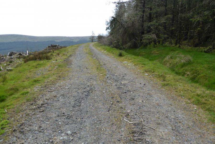
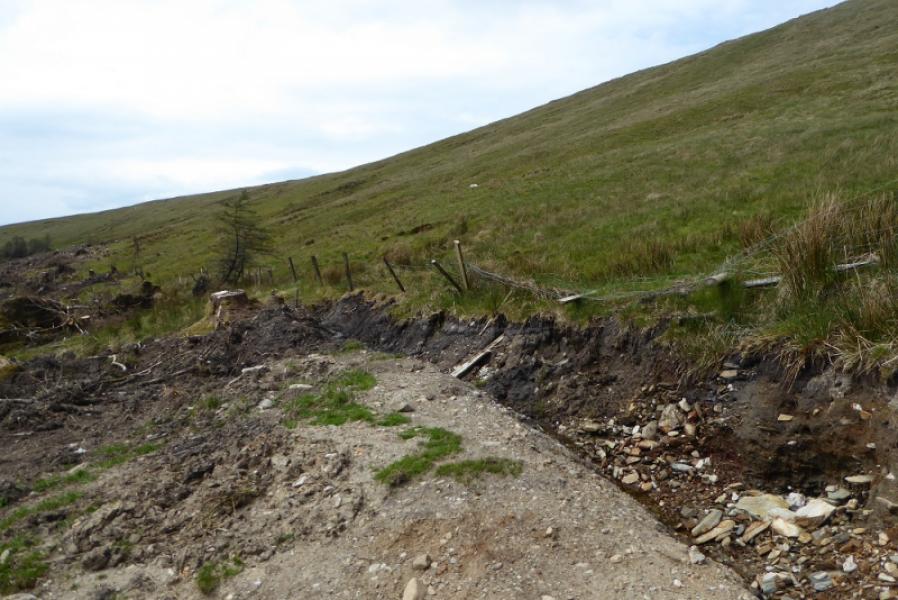
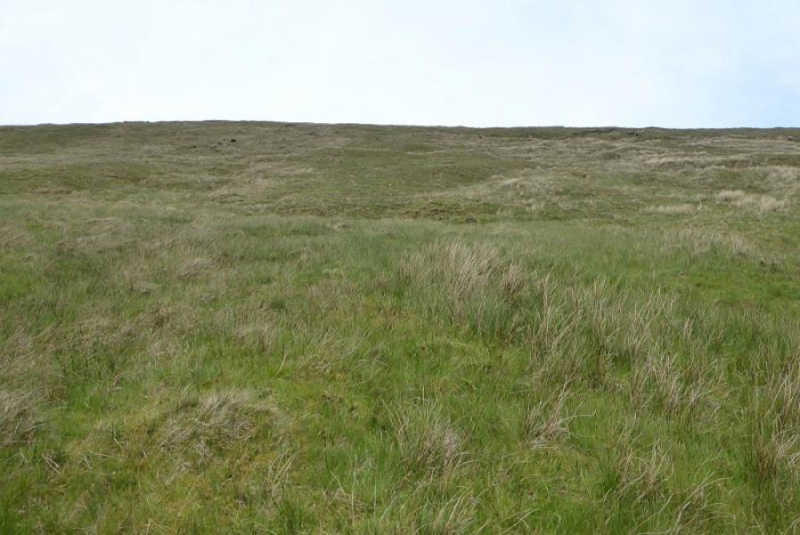
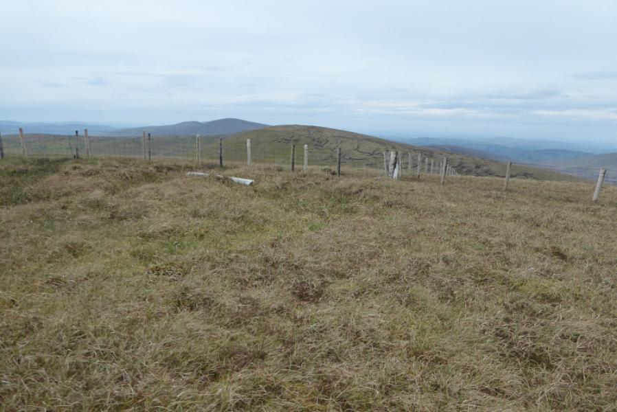
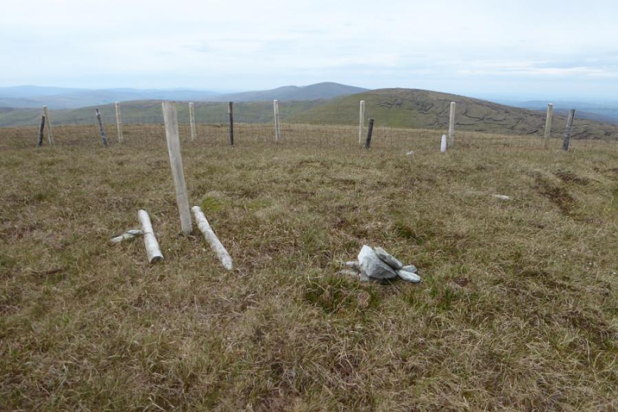
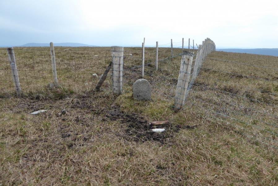
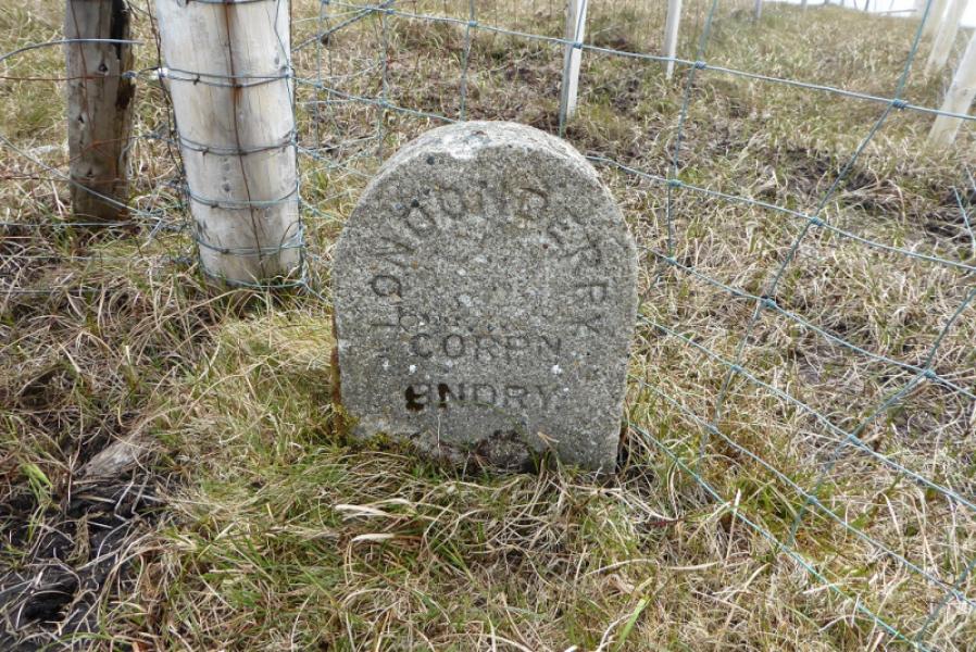
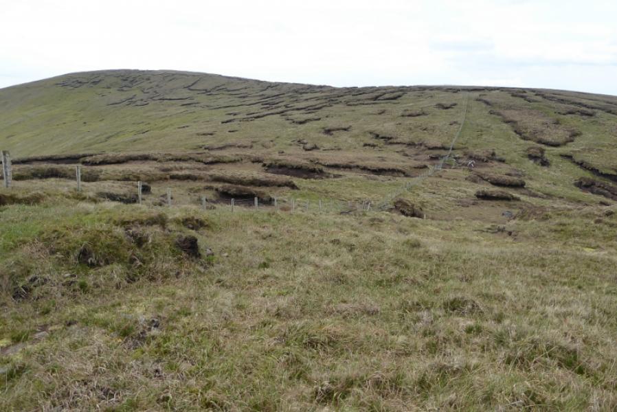
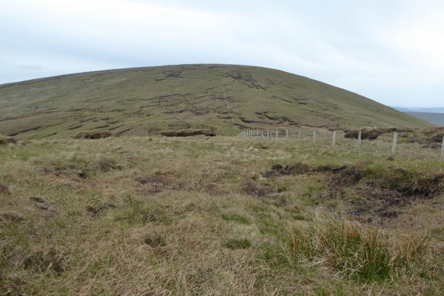
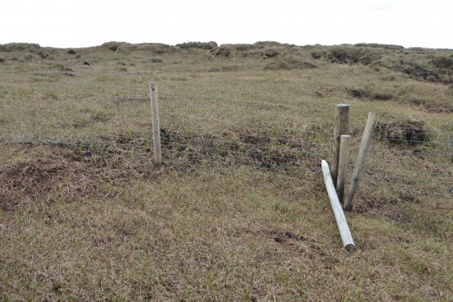
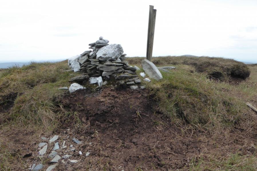
(1) Two tracks go roughly S either side of Glenedra Bridge. Walk up the one on the western side of the river, next to the ruin. On 17/5/19, there had been much felling on the left side of this track. After about 1 km, reach a fork where the main track goes left. Go straight ahead on a lesser track and follow it for about another 1 km to a junction where a lesser track goes left. This track is not seen until it is reached. Follow this track for about 700 m to where it ends in a recently felled area. Cross a low fence and start heading WNW up the steep grassy flank of Mullaghaneany. When the angle eases, reach the rough grassy crest and follow a fence SW to a fence junction. Close to here is a post and tiny cairn which is the summit of Mullaghaneany, 627 m. Close to the fence junction is a small upright county stone which is inscribed on one side. In clear weather, Meenard Mountain is about 1 km due west.
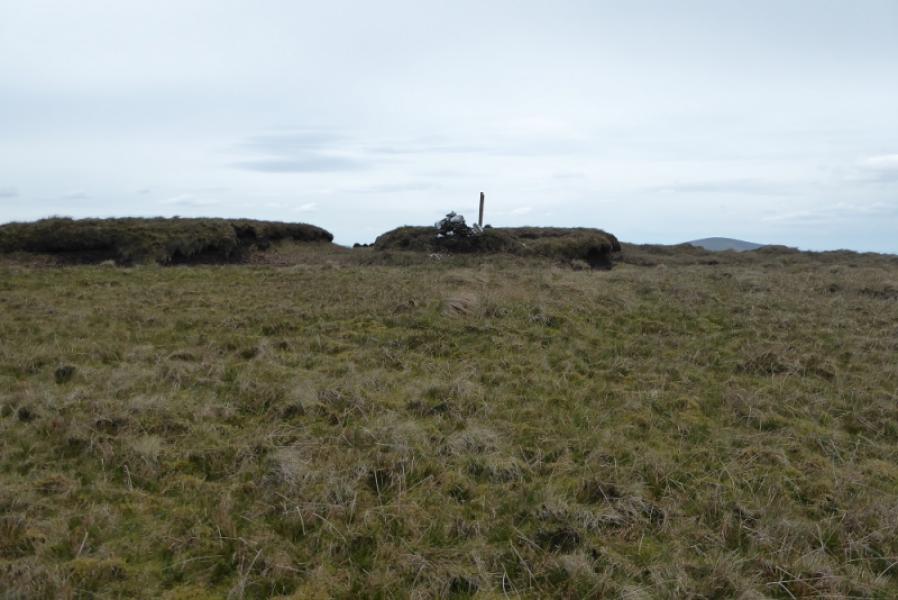
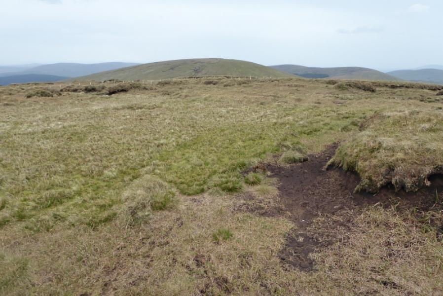
(2) Cross the fence and descend WSW down rough grassy slopes to reach a col. Ascend up the other side, still following the fence until level ground is reached when the fence should be crossed and easier ground ascended heading roughly SW. Another fence is crossed higher up about 200 m below the summit. Reach a post next to a small cairn which sits on a peat hag. This is the summit of Meenard Mountain, 625 m.
(3) Retrace the outward route over Mullaghaneany then back down the forest tracks.
Notes
(a) This walk took place on 17th May, 2019.
Photos - Hover over photo for caption. Click on to enlarge. Click on again to reduce.