Get Lost Mountaineering
You are here: Ireland » North » Sperrin Mountains
Dart Mountain & Sawel Mountain from Tamnagh Road
Dart Mountain & Sawel Mountain from Tamnagh Road
Start/Finish
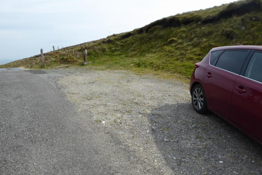
Top of Tamnagh Road, at H 589 969. This runs from Cranagh, which has toilets, in the Glenelly Valley, to Park on the north side of the Sperrins. There are a few parking spaces at the top of the pass at about 430 m. The road is likely to be closed in winter conditions.
Distance/Time
7 km. About 3 hours.
Peaks
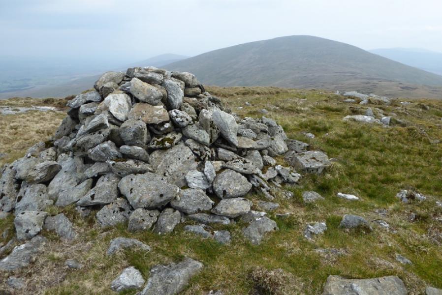
Dart Mountain, 619 m, H 602 963
Sawel Mountain, 678 m, H 618 972 (Irish National Grid System)
Irish OS Discovery Series Map 13 (1:50000)
OSNI Activity Map: Sperrins (1:25000)
Introduction
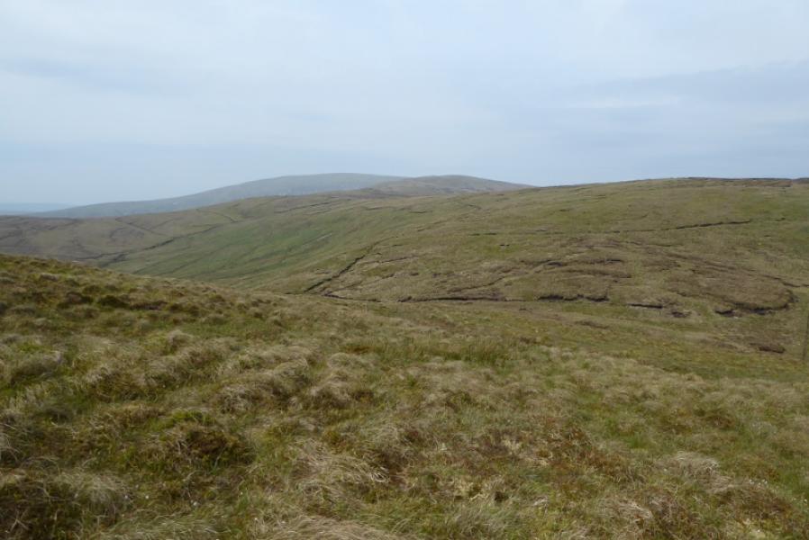
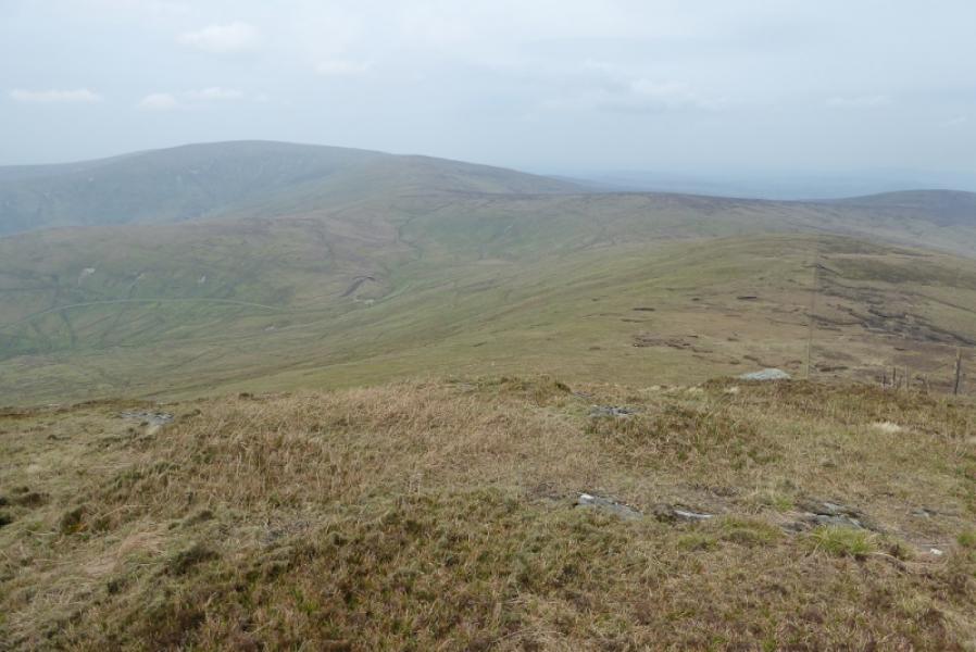
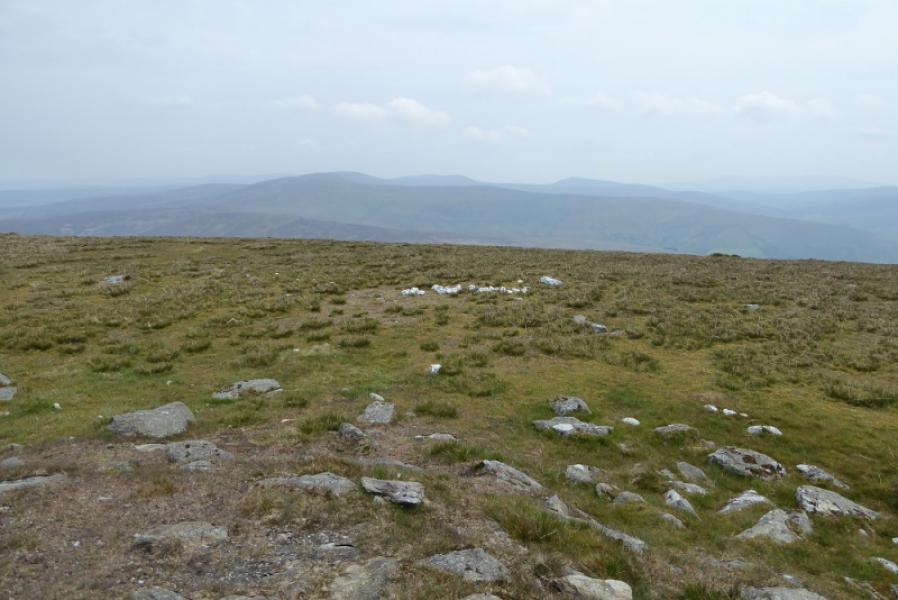
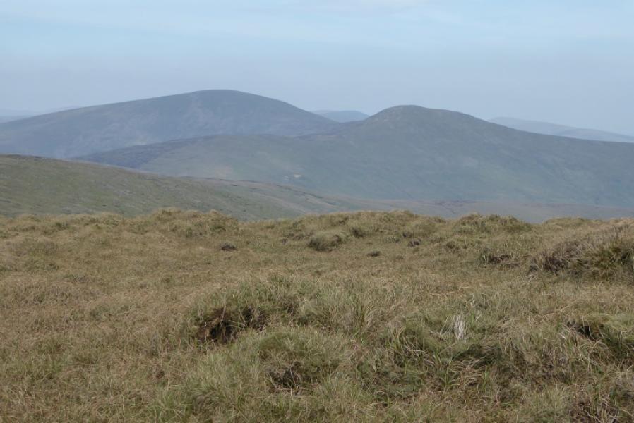
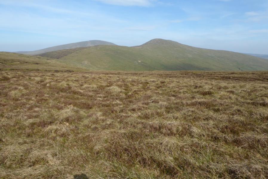
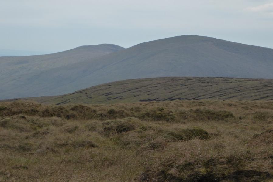
These are probably the two most distinctive mountains in the Sperrins – Ireland second highest mountain range. There is a faint path over them. Some of the ground can be wet and boggy so best to attempt this walk in a dry spell. Views are good in all directions but the best are probably of each other! Note that these hills are on private land and some local farmers do not want walkers on their land so best not to draw attention to yourself!
Route
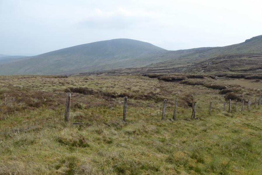
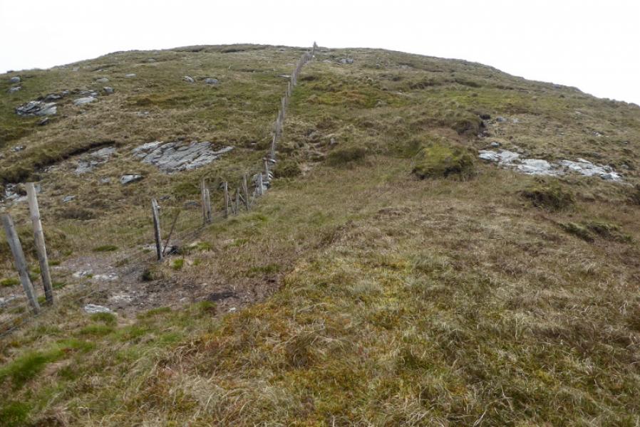
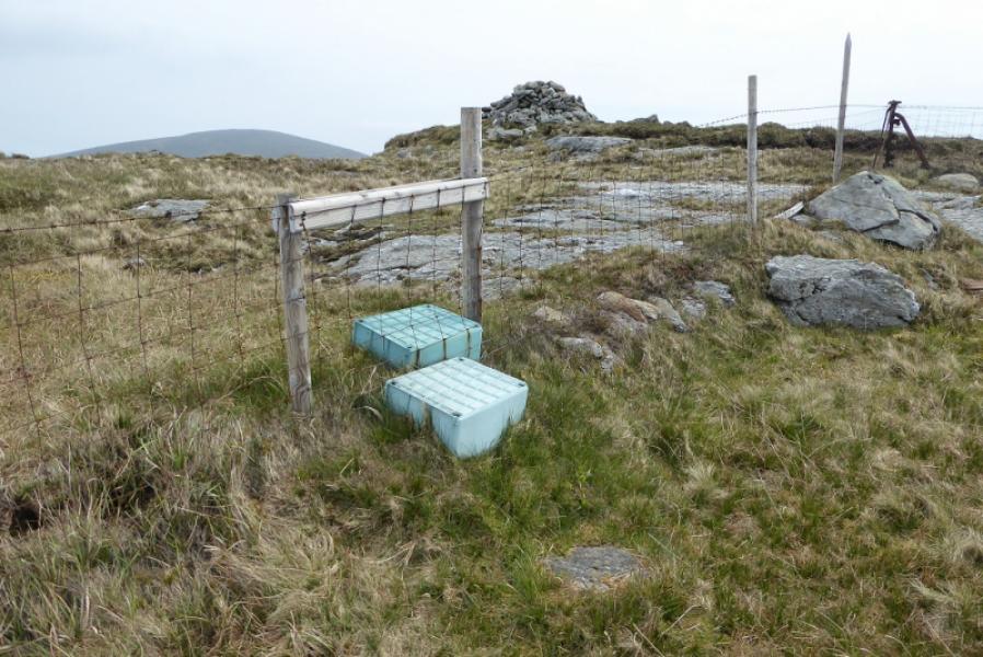
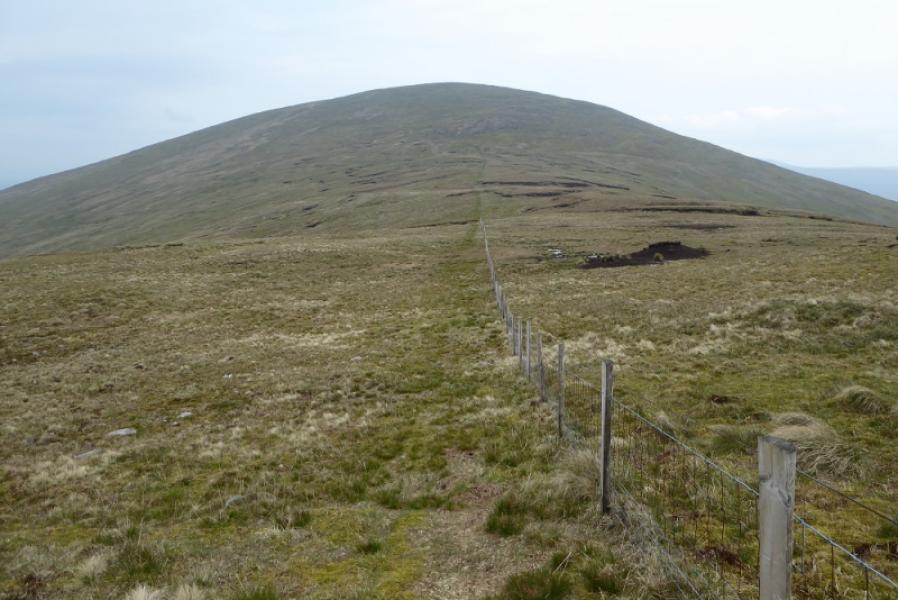
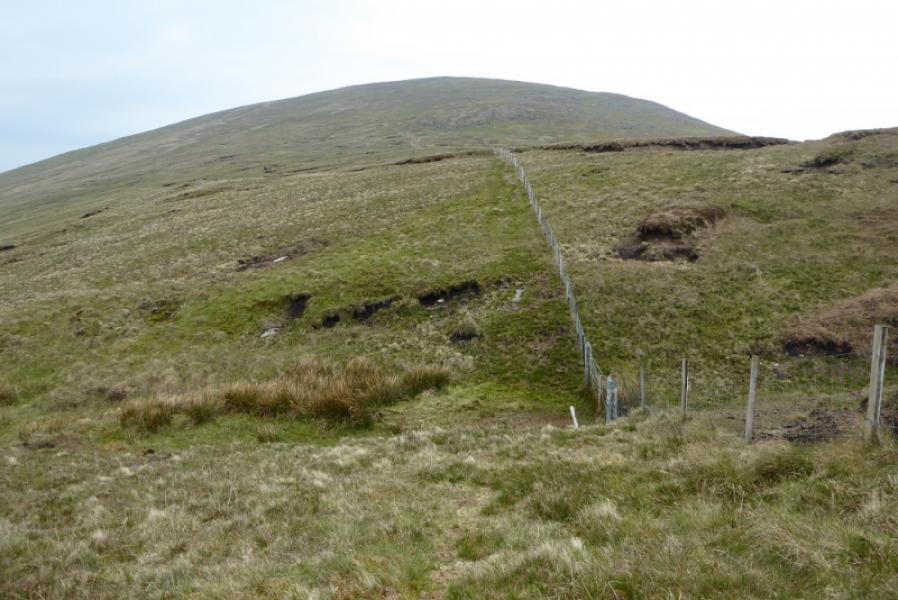
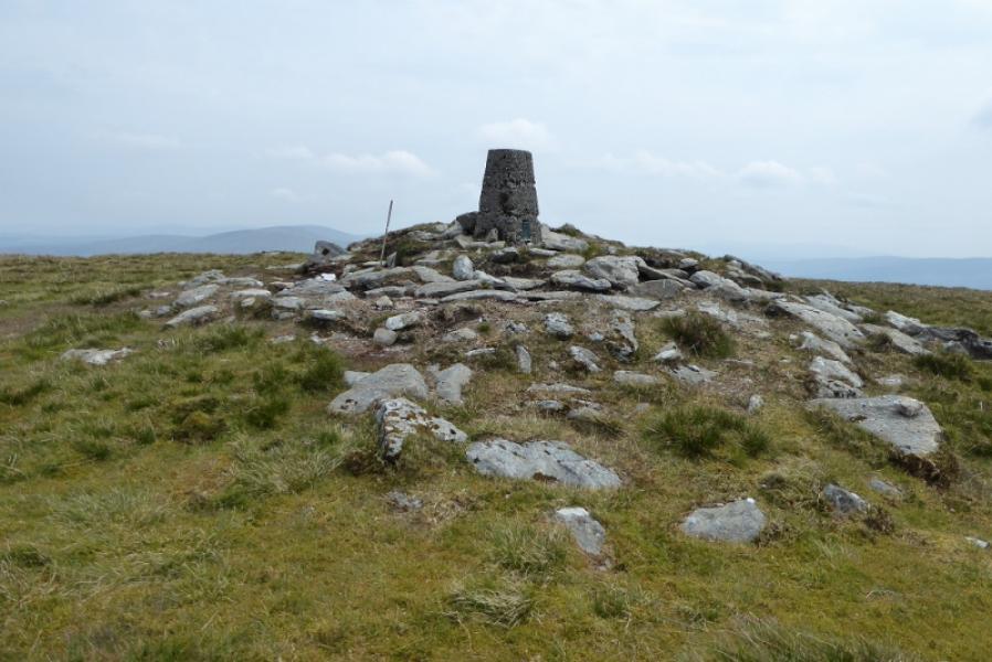
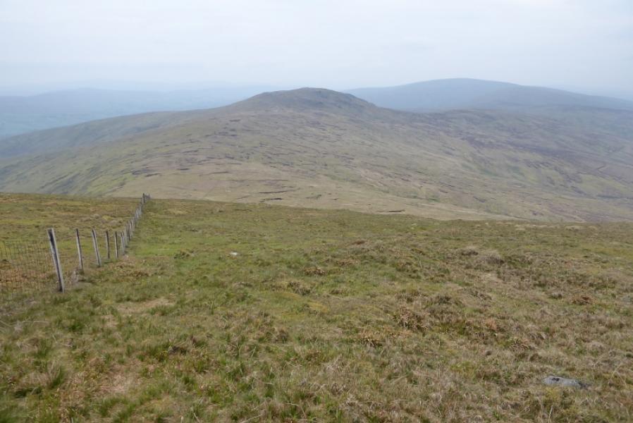
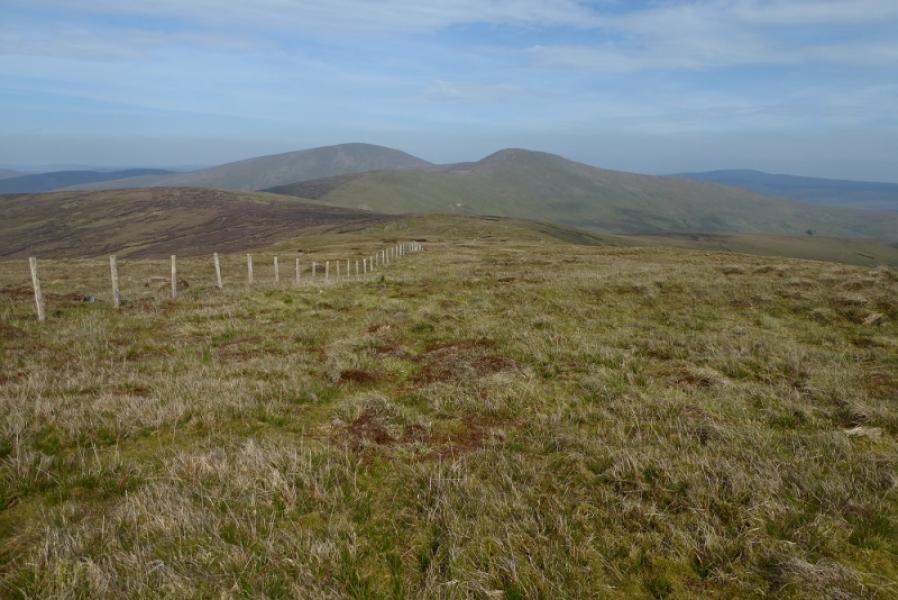
(1) Follow the fence, roughly ESE, uphill. Go over a minor top then continue following the fence as the ground steepens on the NW ridge of Dart Mountain. When the angle eases, cross the fence by a makeshift stile and reach the large cairn which marks the summit of Dart Mountain, 619 m.
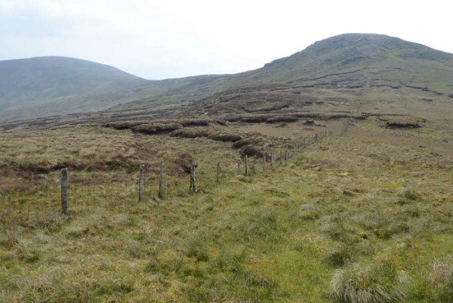
(2) Descend , roughly NE, following a fence. Cross a boggy col then ascend the steep SW flank of Sawel Mountain. When the angle eases soon reach the trig point which is the summit of Sawel Mountain, 678 m.
(3) Retrace the outward route over Dart Mountain. It is possible to traverse across Dart Mountain to avoid its re-ascent but the ground is quite rough and little, if any, time will be saved.
Notes
(a) This walk took place on 16th May, 2019.
Photos - Hover over photo for caption. Click on to enlarge. Click on again to reduce.