Get Lost Mountaineering
You are here: Ireland » North » Donegal to Sligo
Cuilcagh via Legnabrocky Trail
Cuilcagh via Legnabrocky Trail
Start/Finish
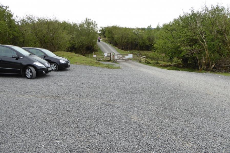
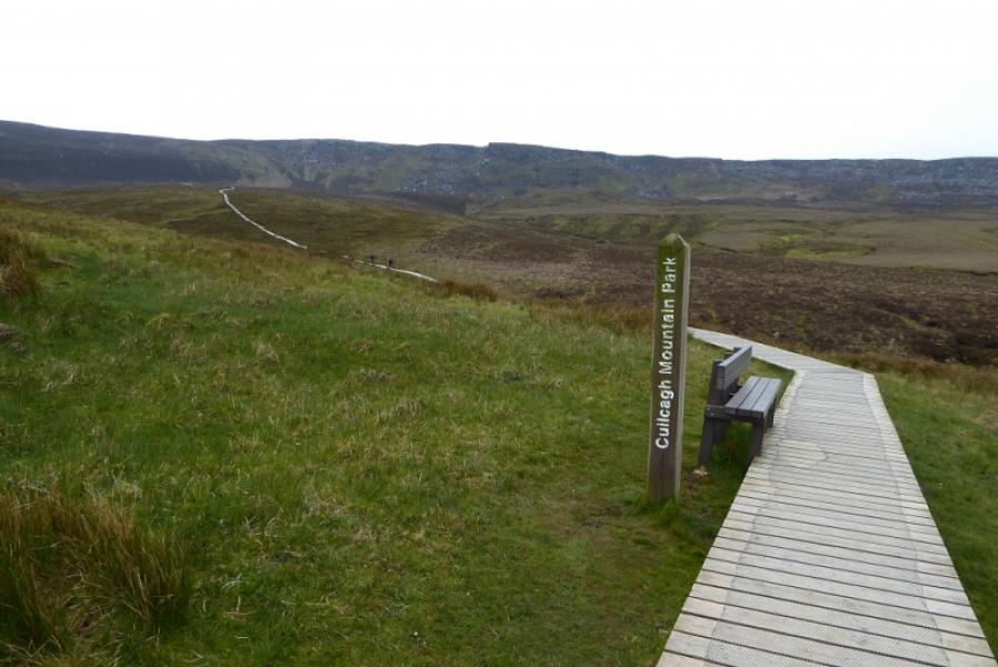
Private car park (£5 in 2019) at the entrance to Cuilcagh Mountain Park, H 121 336, which is close to Marble Arch caves which are well signed in the area. The nearest named place on the map is Pollawaddy. Access is usually via minor roads from the B52 road to the north.
Distance/Time
15 km. About 4 hours.
Peaks
Cuilcagh, 665 m, H 123 280 (Irish National Grid System)
Irish OS Discovery Series Map 26 (1:50000)
Introduction
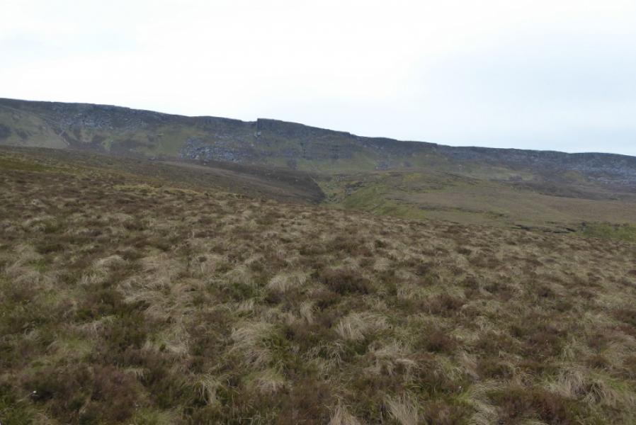
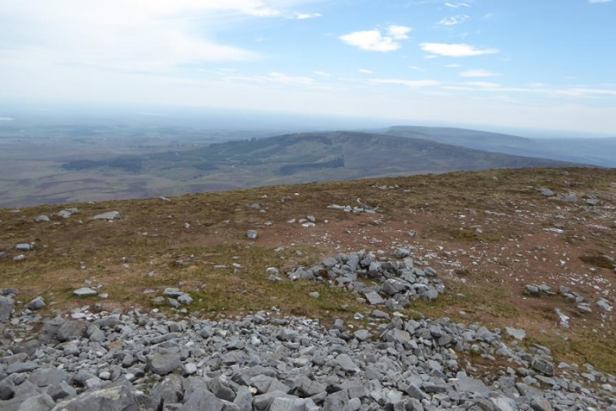
This is a fairly easy walk to navigate as there is a track, followed by boardwalks then a mountain path, mainly by a fence, to the very obvious summit. There are good views in all directions but no similar sized mountains close by.
Route
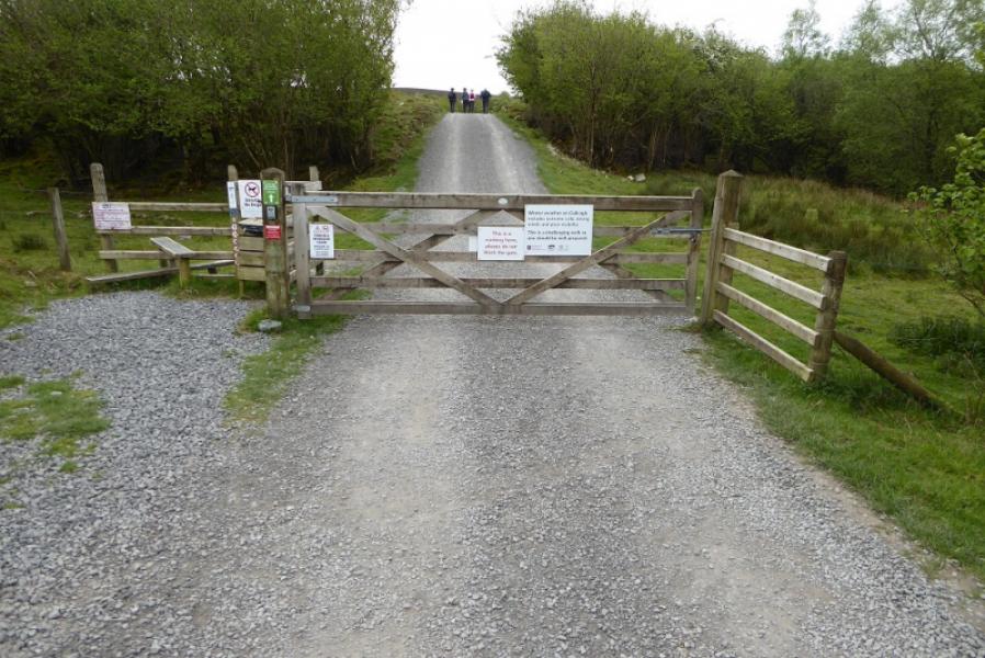
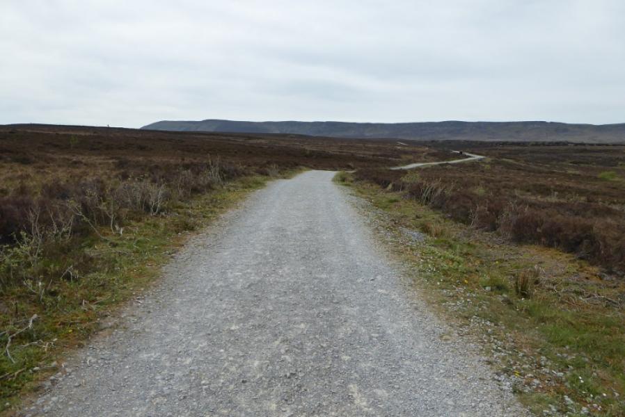
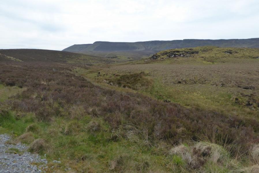
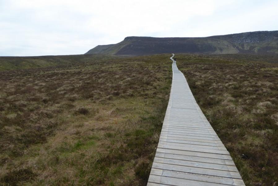
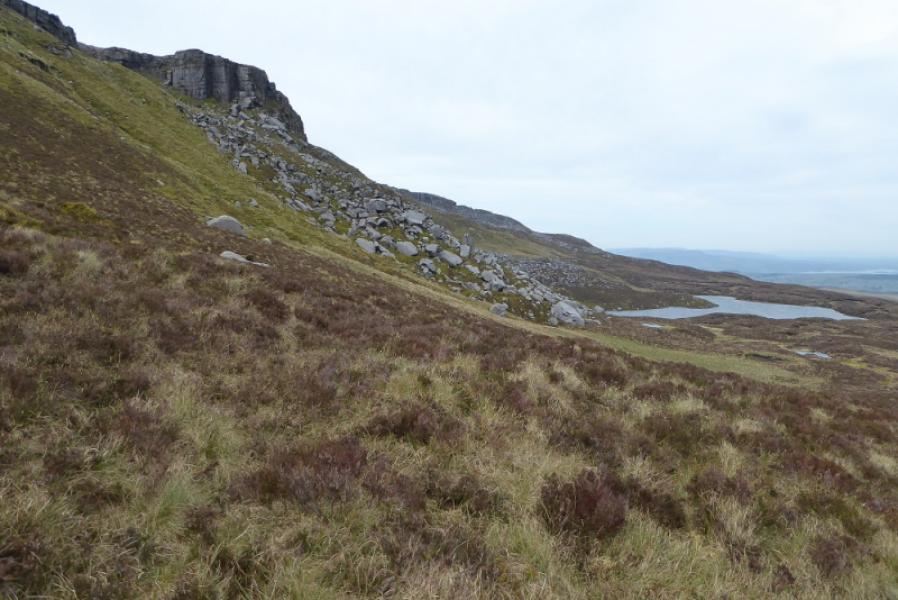
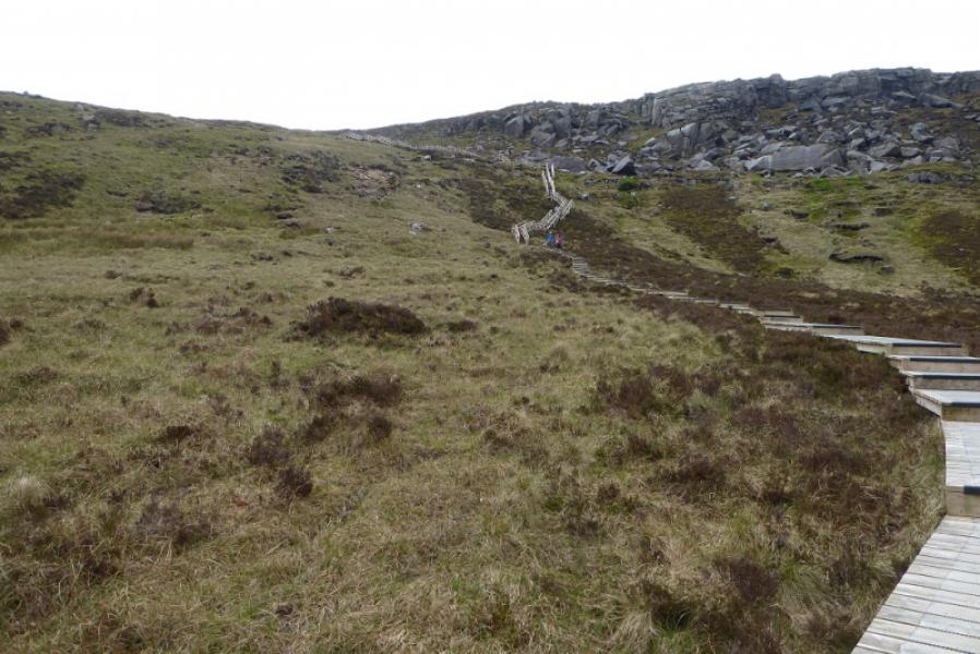
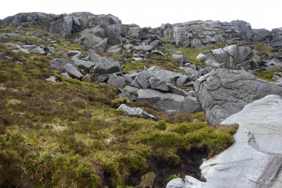
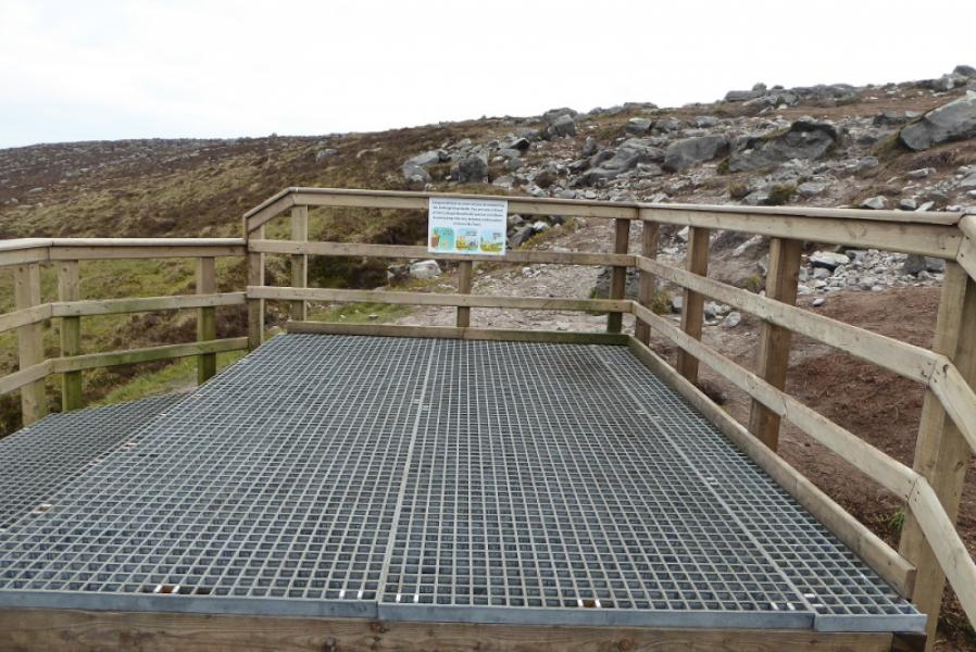
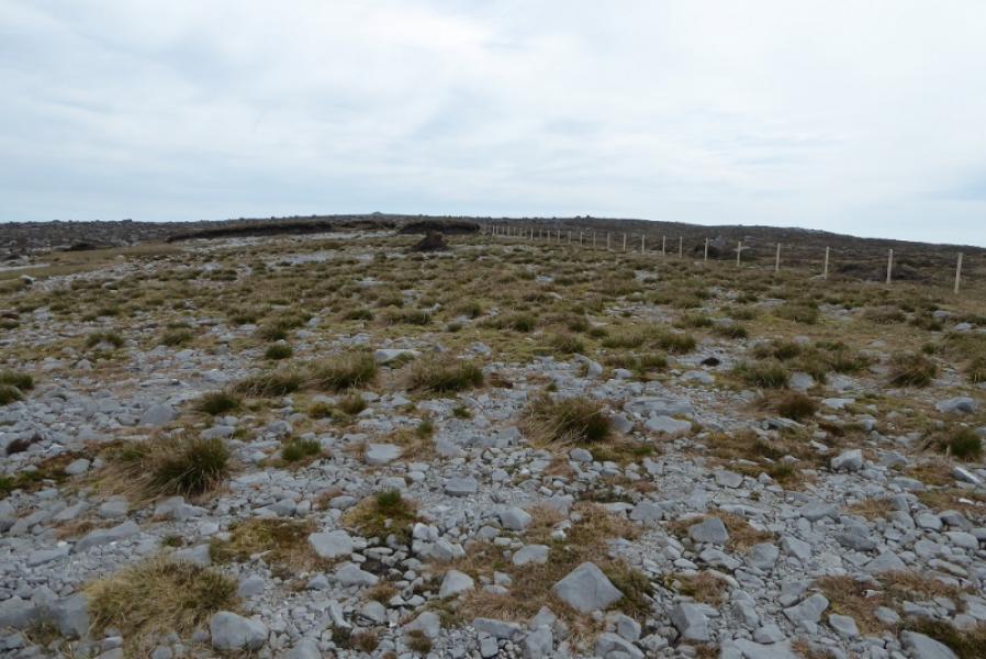
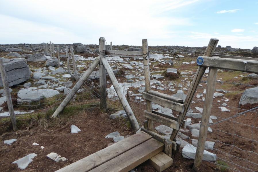
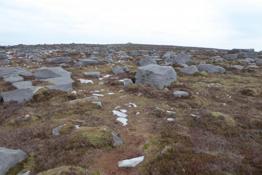
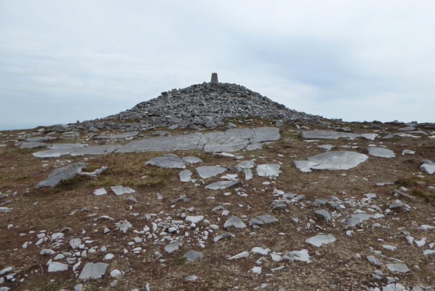
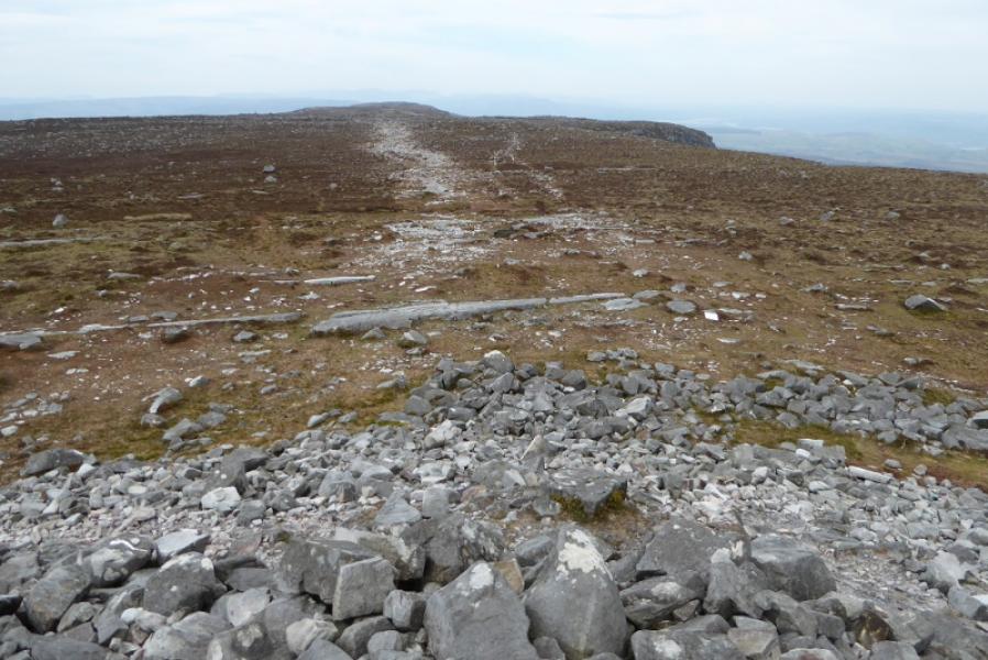
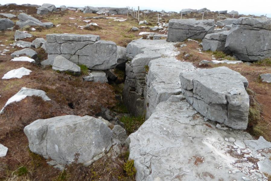
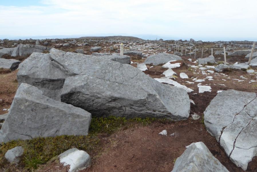
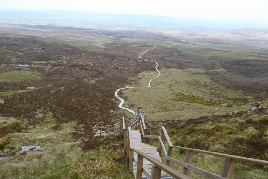
(1) Follow the track out of the back of the car park for about 4 km where it becomes boardwalks – level at first the steeply stepped. There are many, many steps. Reach a platform at the top of the boardwalks. On 15/5/19, you had to climb over the fence to escape the platform. Do this in the top right corner from the last step. Look for a rough path slanting up, leftish, and follow this to reach some marker posts. If you miss these, look for a fence on the broad crest going roughly ESE. The peaty path leads to a fence corner and a very easy stile. You are now crossing the border between Northern Ireland and the Republic of Ireland. Continue following the waymarks and soon reach a massive cairn with a trig point on top which is the summit of Cuilcagh, 665 m.
(2) Retrace the outward route.
Notes
(a) This walk took place on 15th May, 2019.
Photos - Hover over photo for caption. Click on to enlarge. Click on again to reduce.