Get Lost Mountaineering
You are here: Ireland » North » Mountains of Mourne
Slievelamagan & Cove Mountain from Silent Valley
Slievelamagan & Cove Mountain from Silent Valley
Start/Finish
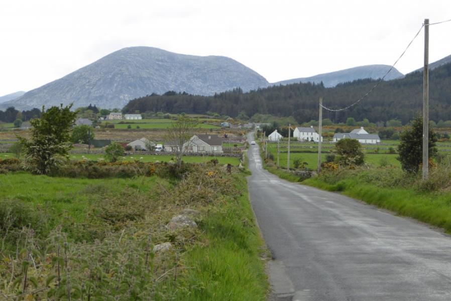
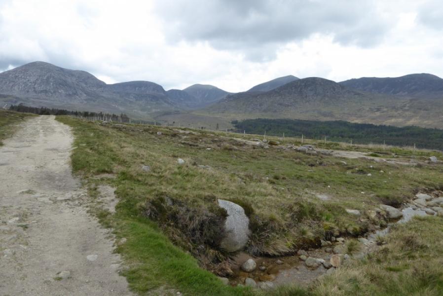
Silent Valley Mountain Park. The entrance is close to Colligan Bridge which is about 3 miles north of Kilkeel. The Park is at the foot of the Silent Valley Reservoir. You have to pay to enter the park whether in a vehicle or on foot. There is limited free parking just outside the park gates.
Distance/Time
15 km About 6 – 7 hours
Peaks
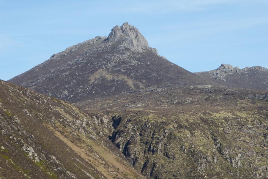
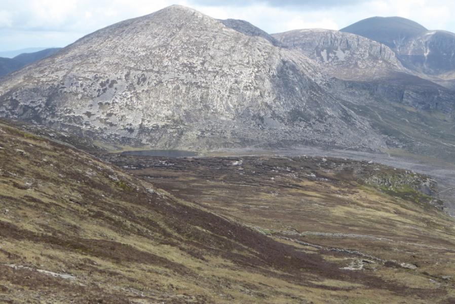
Slievelamagan, 704 m, J 329 260
Cove Mountain, 655 m, J 336 270 (Irish National Grid System)
Irish OS Discovery Series Map 29: The Mournes (1:50000)
Harvey Superwalker XT25: Mourne Mountains (1:25000)
OSNI Activity Map: The Mournes (1:25000)
Introduction
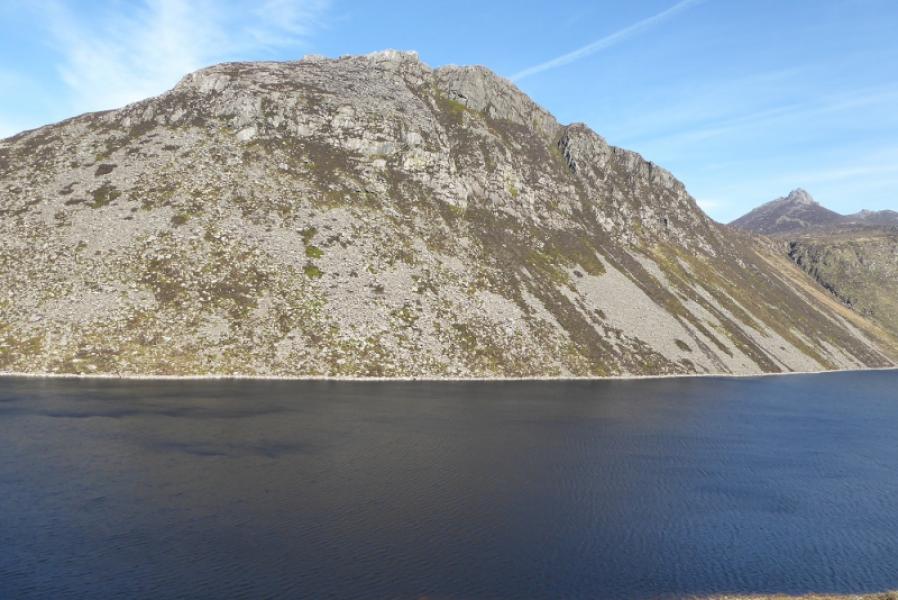
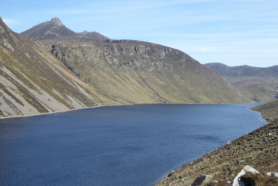
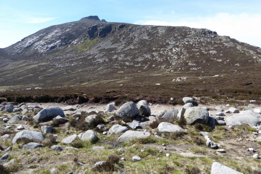
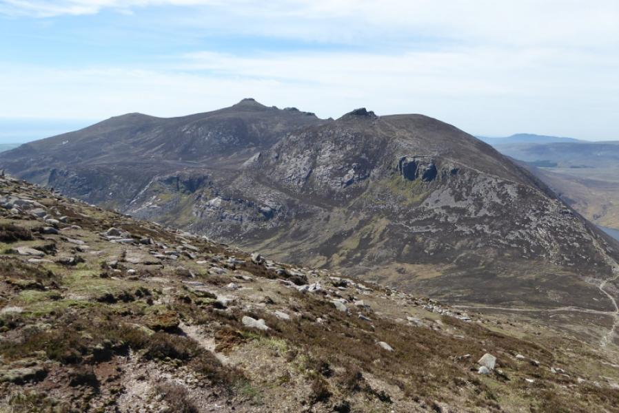
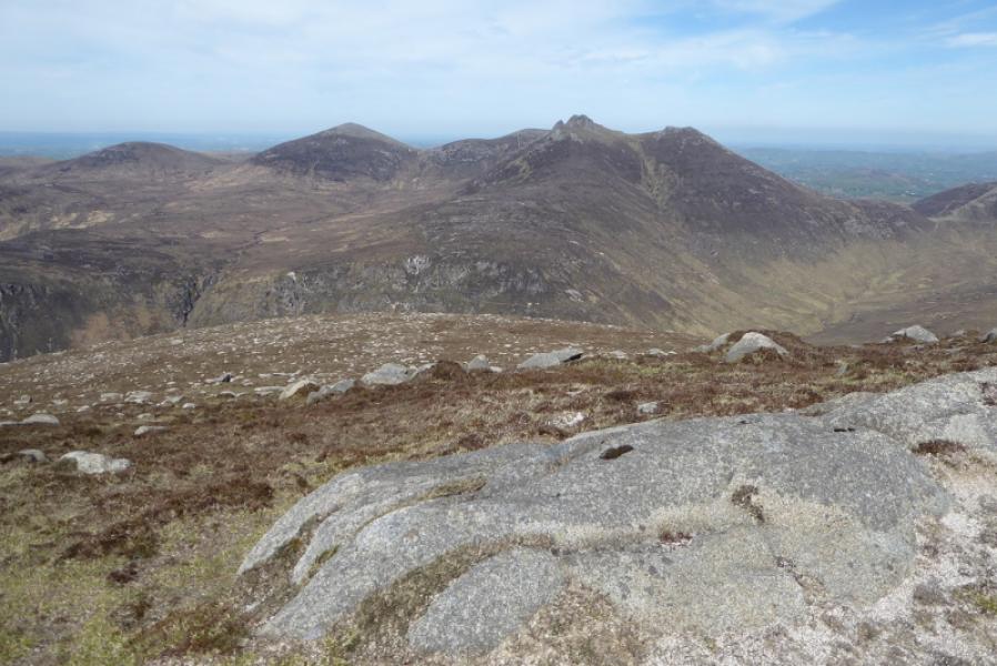
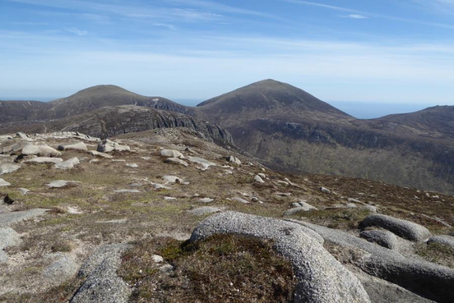
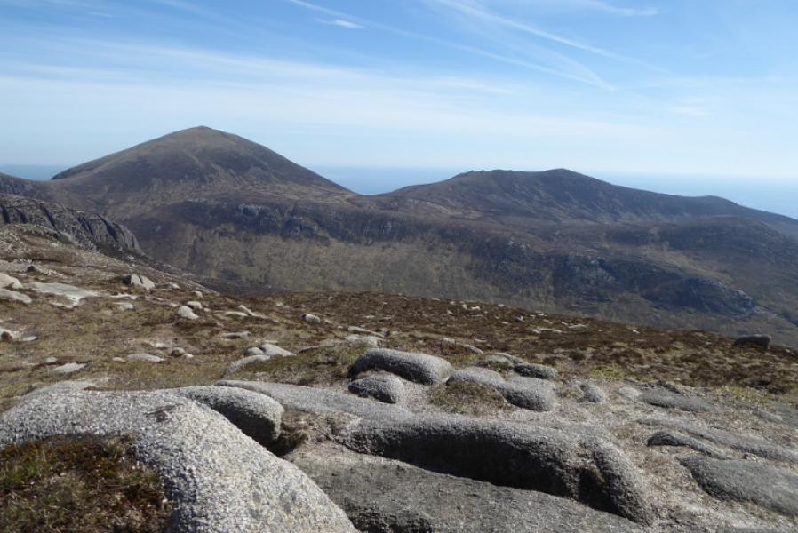
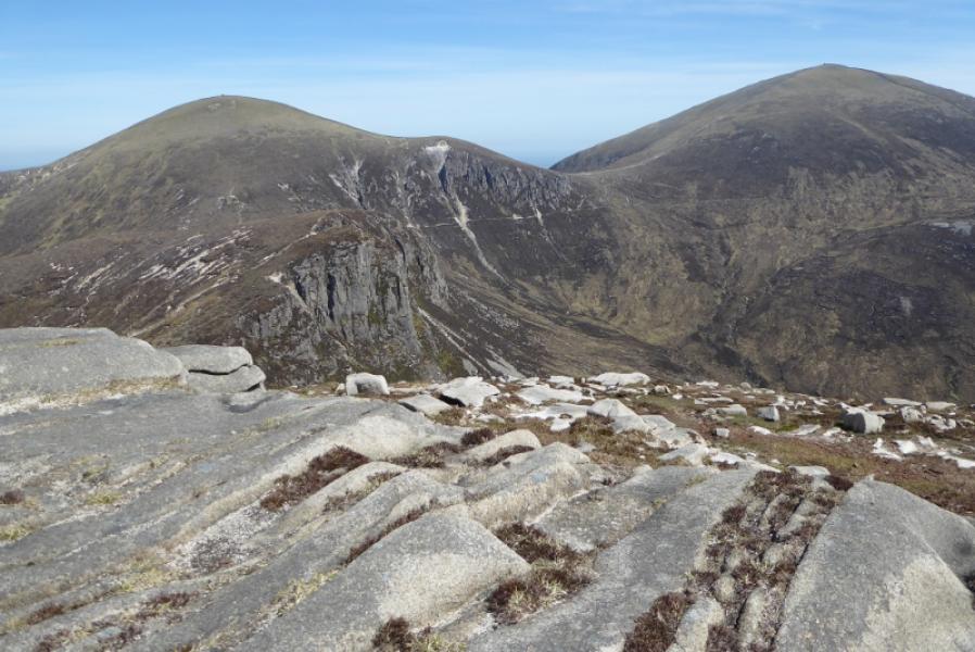
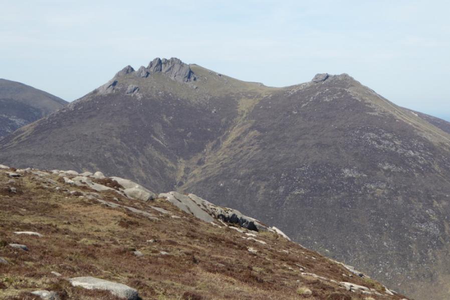
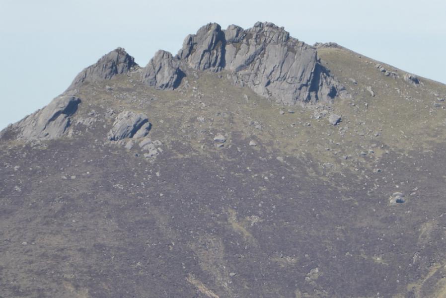
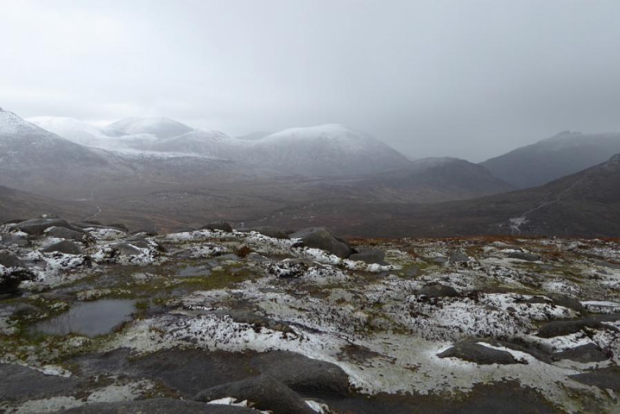
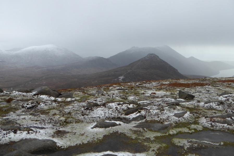
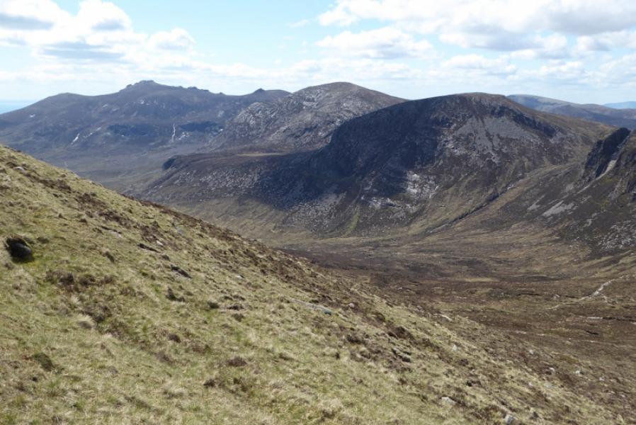
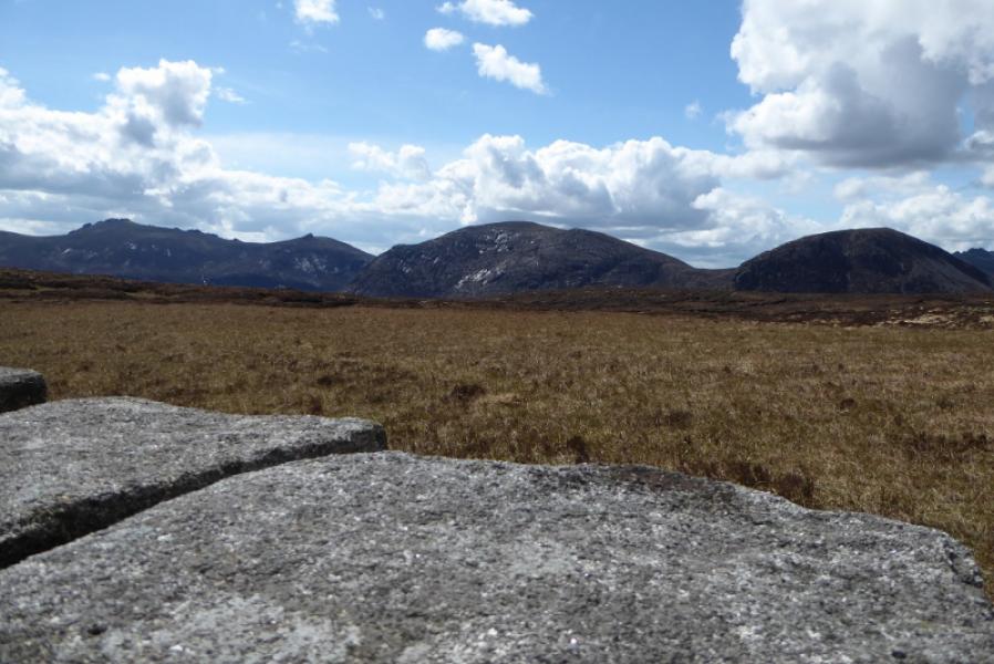
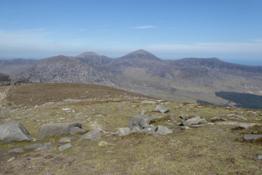
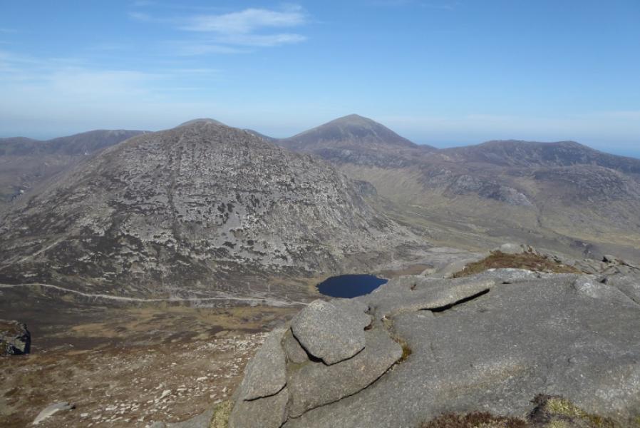
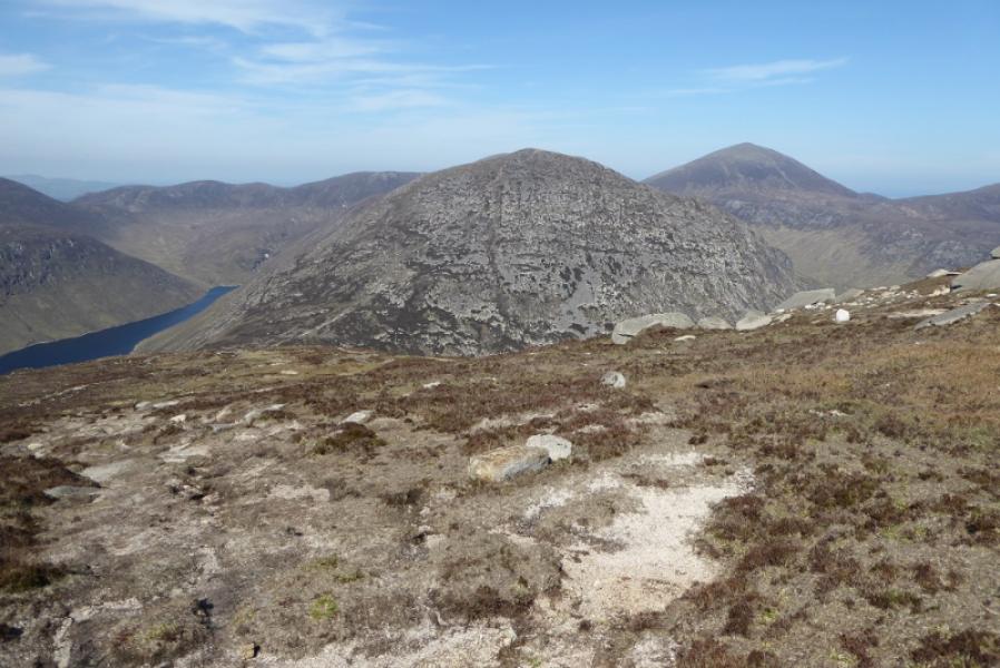
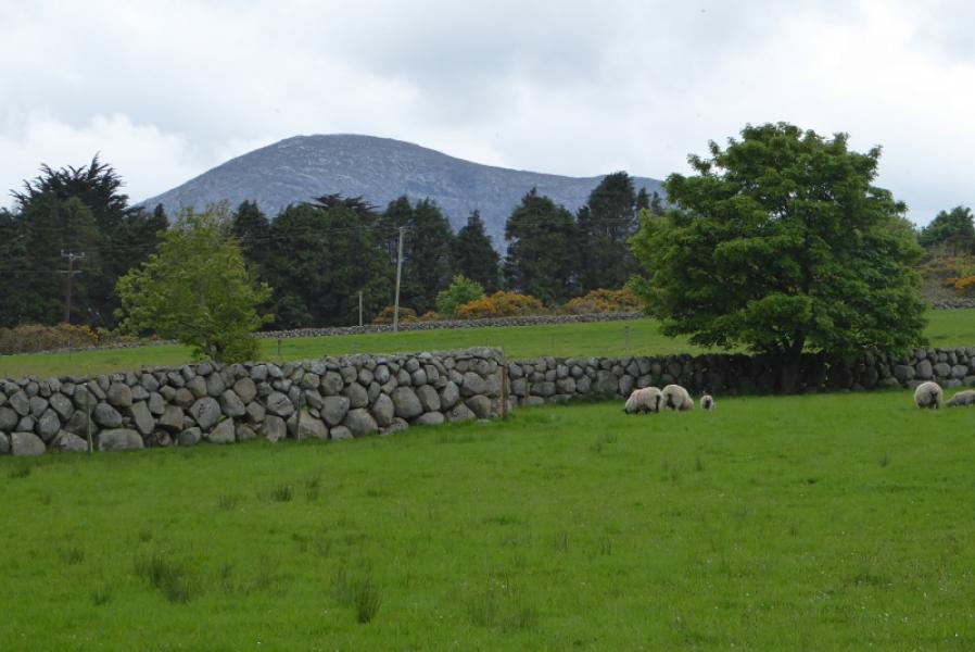
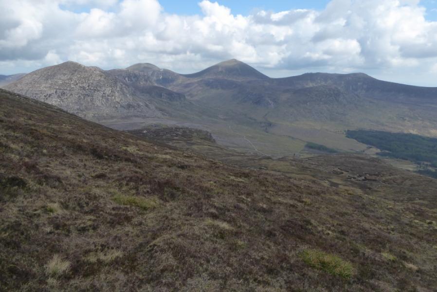
This is a straightforward route, although steep in places, as far as Cove Mountain. The return to the Ben Crom Dam is rough and exposed and it is probably easier to retrace the ascent route. During the high season, a bus service may operate between the Silent Valley car park and the Ben Crom saving much walking along a tarmac road. Both peaks are excellent viewpoints for the other Mourne Mountains especially Ben Crom, Slieve Bernagh, Slieve Commedagh and Slieve Donard.
Route
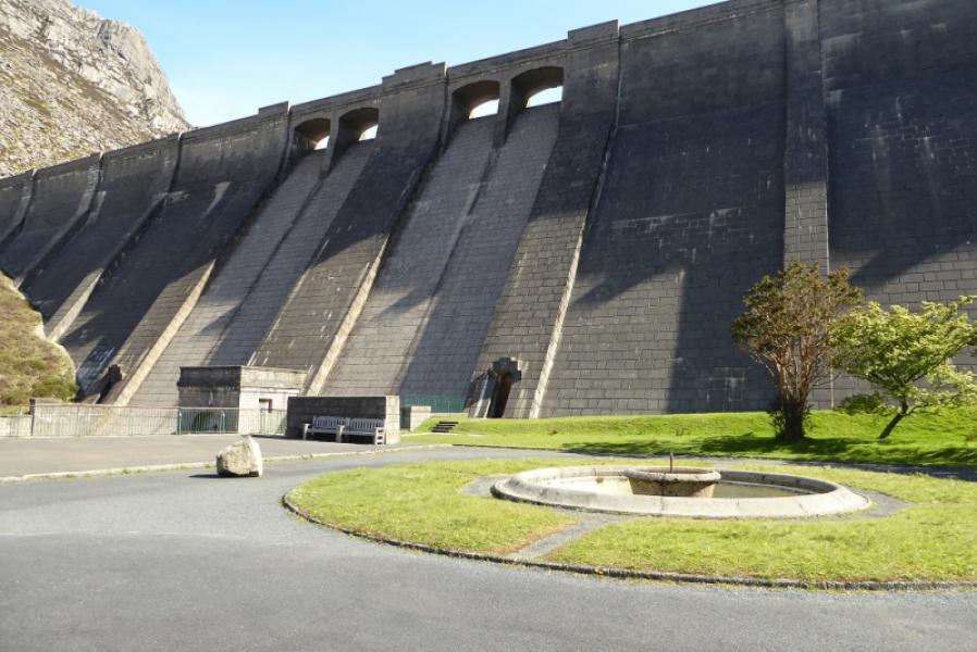
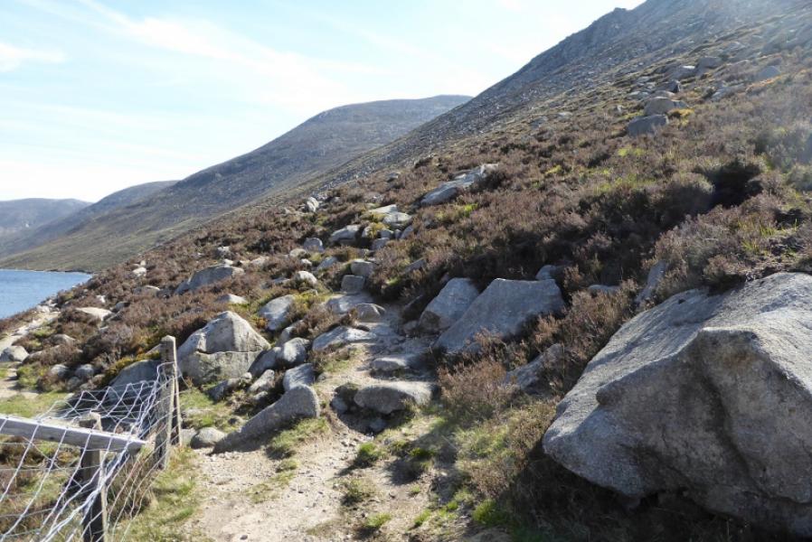
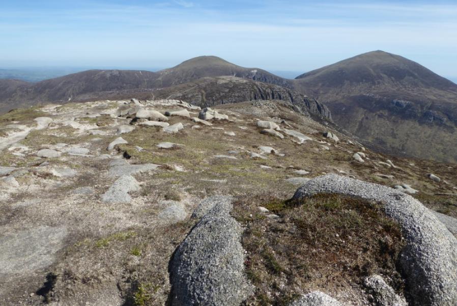
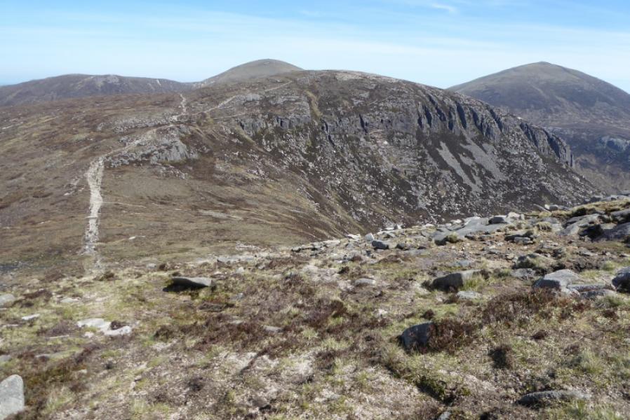
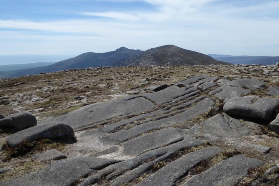
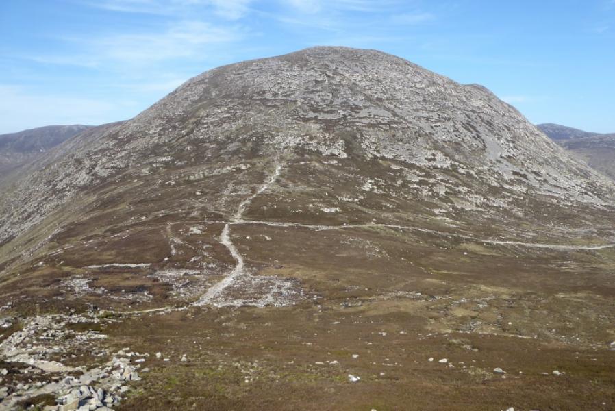
(1)From the Silent Valley car park, follow the waymarks for the Reservoir walk. Pass the toilets and pond. At the next sign, the reservoir walk goes left on a tarmac road. Follow this for about 4 km to reach its end below the Ben Crom Dam. Go up the many steps and walk to the end of the short fence where the path splits. Take the right fork which starts ascending towards the SW col of Slievelamagan. This path is quite rough and stony. Reach the col at a crossroads of paths. Turn left and start ascending the SW flank of Slievelamagan. There seems to be many alternative paths so take the ones which look easiest. The ground is stony but not difficult. Eventually reach the summit crest. Go N and soon reach a medium cairn which marks the summit of Slievelamagan, 704 m.
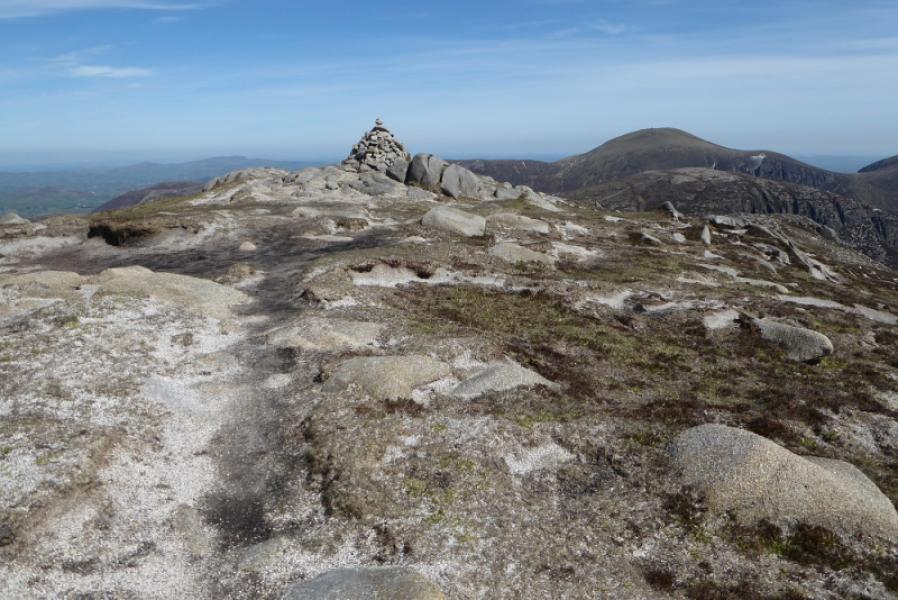
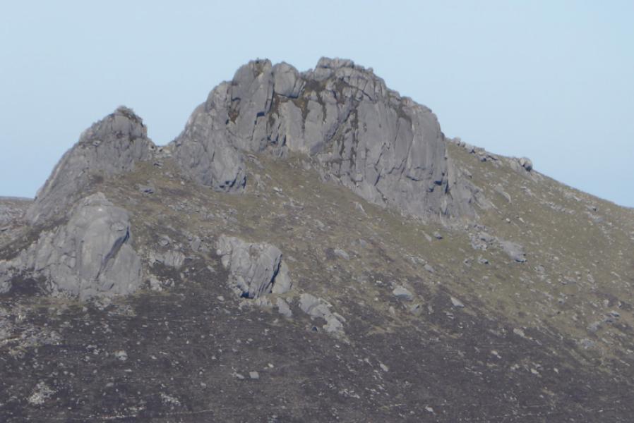
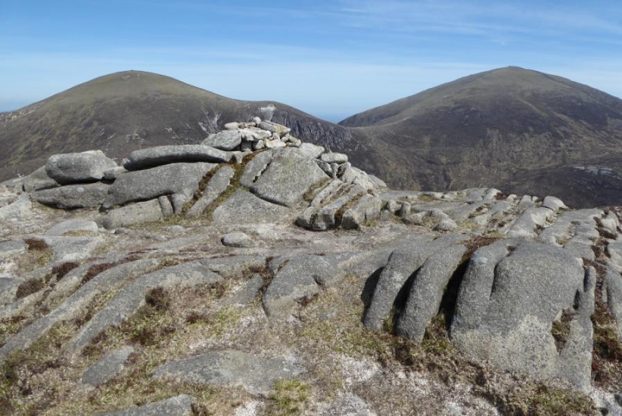
(2) Continue along the crest, following a path, rough in places, to reach the col before Cove Mountain. Continue up the other side and but try to stay on the crest. Reach a medium cairn which marks the summit of Cove Mountain, 655 m.
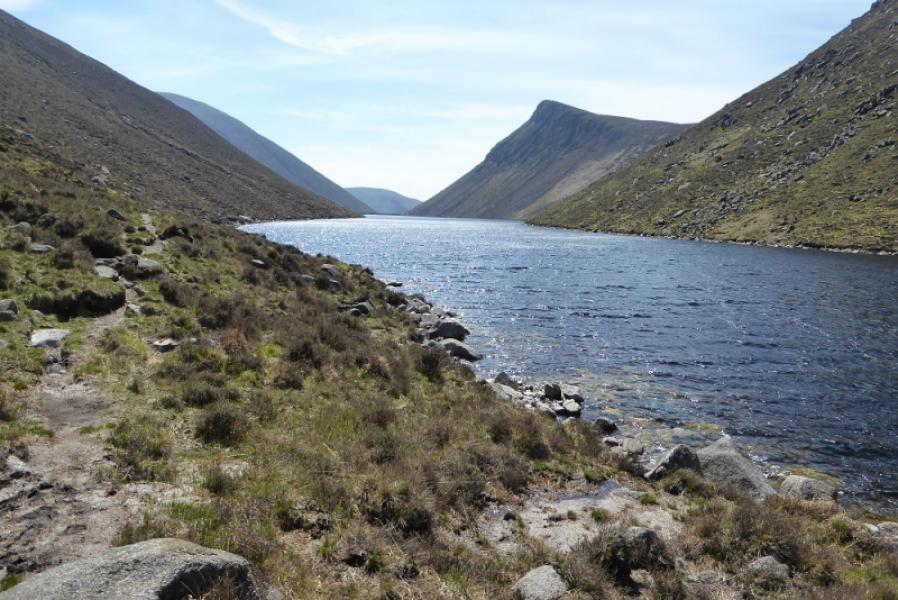
(3) The easiest return is to retrace back over Slievelamagan even though that involves about 150 m of ascent. The route actually walked was to descend NW down steepening slopes which are mainly grassy until a faint path is reached which heads SSW and is well above the stream at the bottom. This path stays well above the stream and is on the unstable edge of a gorge at times. Continue, crossing some gullies, before it is possible to descend to the path alongside the E side of Ben Crom Reservoir. This is a much better path but some of it has crumbled into the reservoir. In May 2019, this was being repaired. It is about 2 km to the Ben Crom Dam then a further 4 km back to the car park.
Notes
(a) This walk took place on 14th May, 2019.
Photos - Hover over photo for caption. Click on to enlarge. Click on again to reduce.