Get Lost Mountaineering
You are here: Ireland » North » Mountains of Mourne
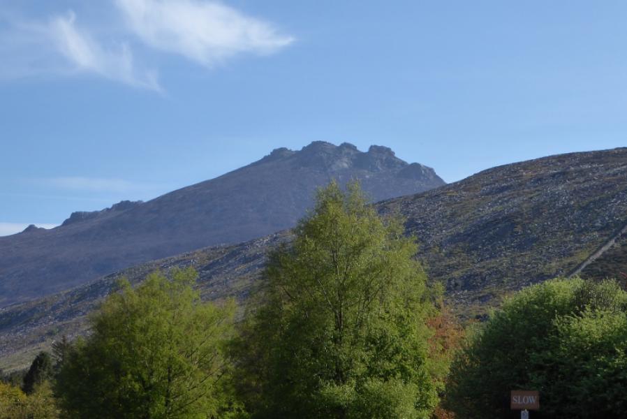
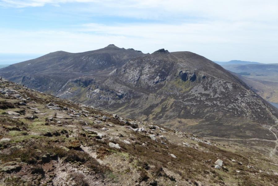
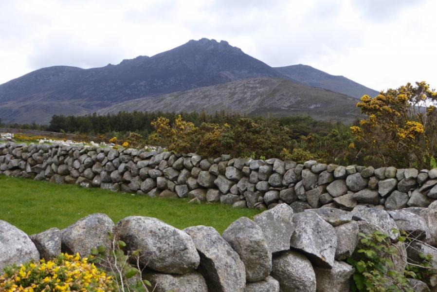
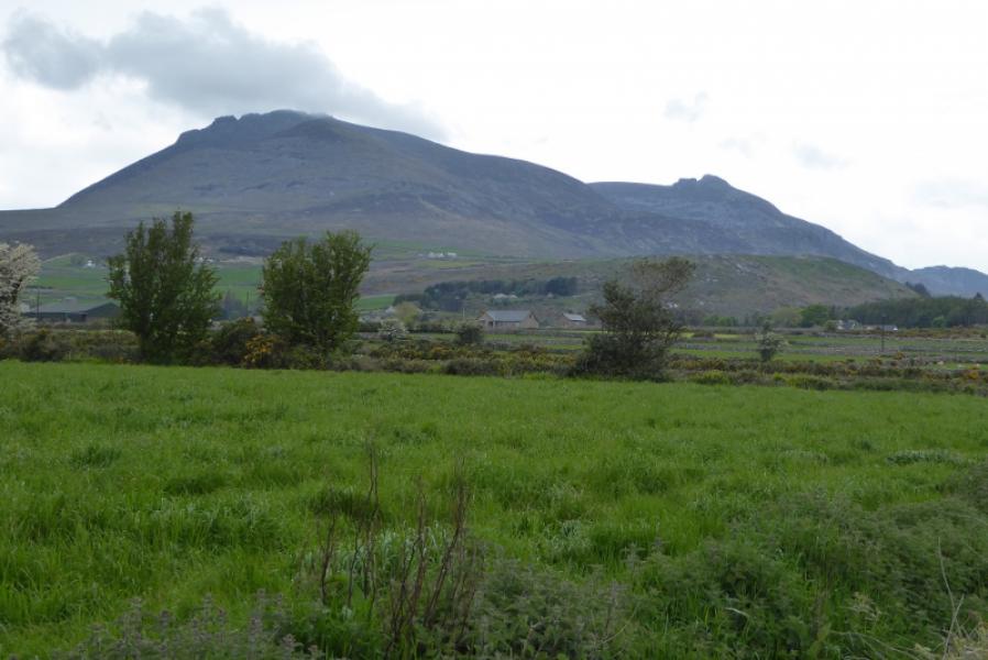
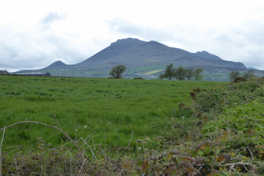
Slieve Binnian from Silent Valley
Slieve Binnian from Silent Valley
Start/Finish
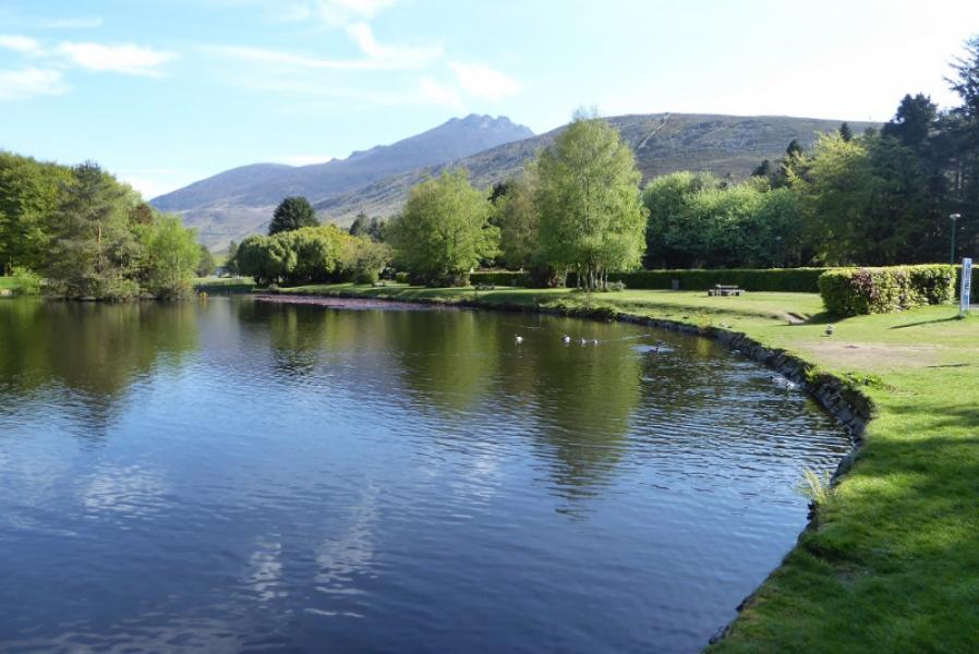
Silent Valley Mountain Park. The entrance is close to Colligan Bridge which is about 3 miles north of Kilkeel. The Park is at the foot of the Silent Valley Reservoir. You have to pay to enter the park whether in a vehicle or on foot. There is limited free parking just outside the park gates.
Distance/Time
10 km About 5 – 6 hours
Peaks
Slieve Binnian, 747 m, J 320 234.
Slieve Binnian N Tor, 683 m, J 320 246.
Slieve Binnian N Top, 678 m, J 317 244. (Irish National Grid System)
Irish OS Discovery Series Map 29: The Mournes (1:50000)
Harvey Superwalker XT25: Mourne Mountains (1:25000)
OSNI Activity Map: The Mournes (1:25000)
Introduction
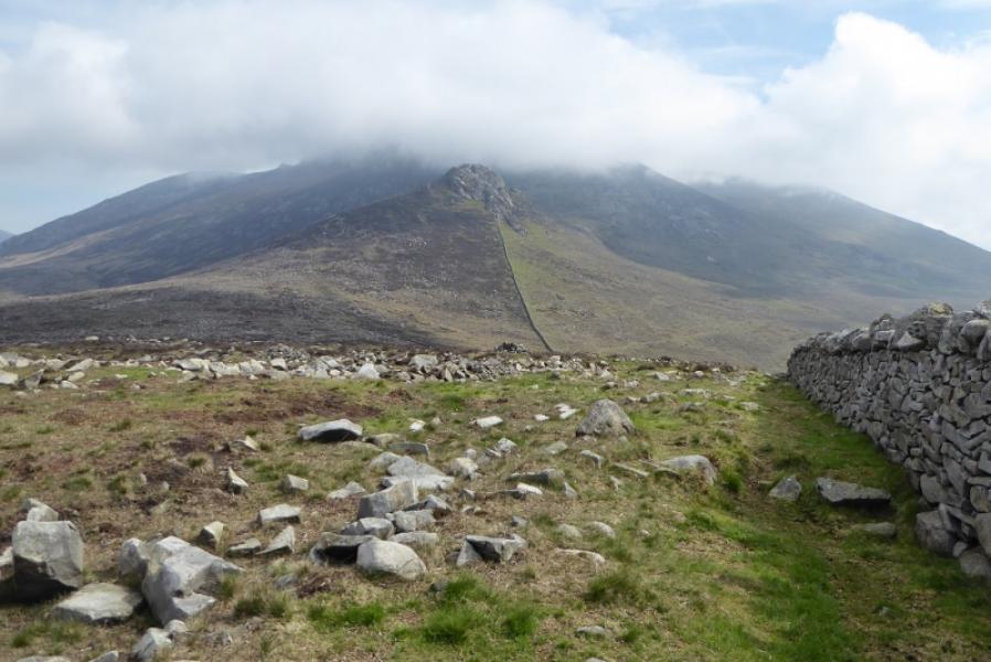
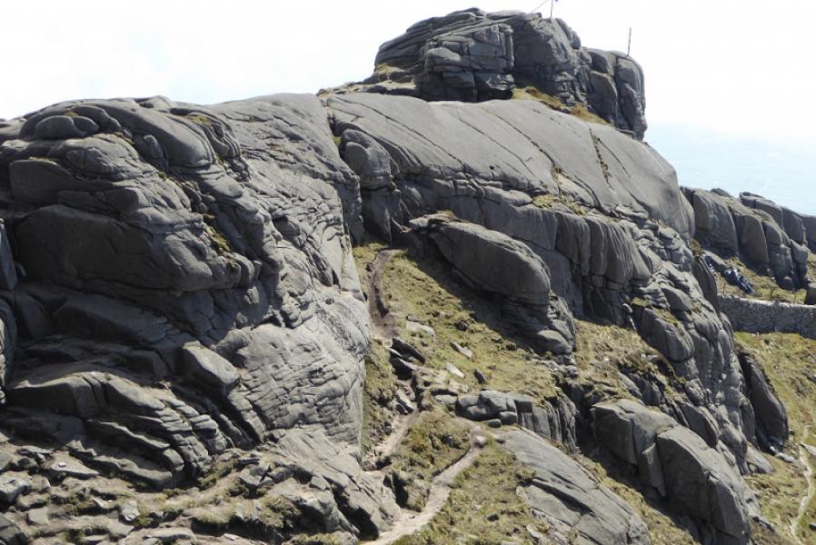
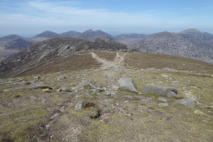
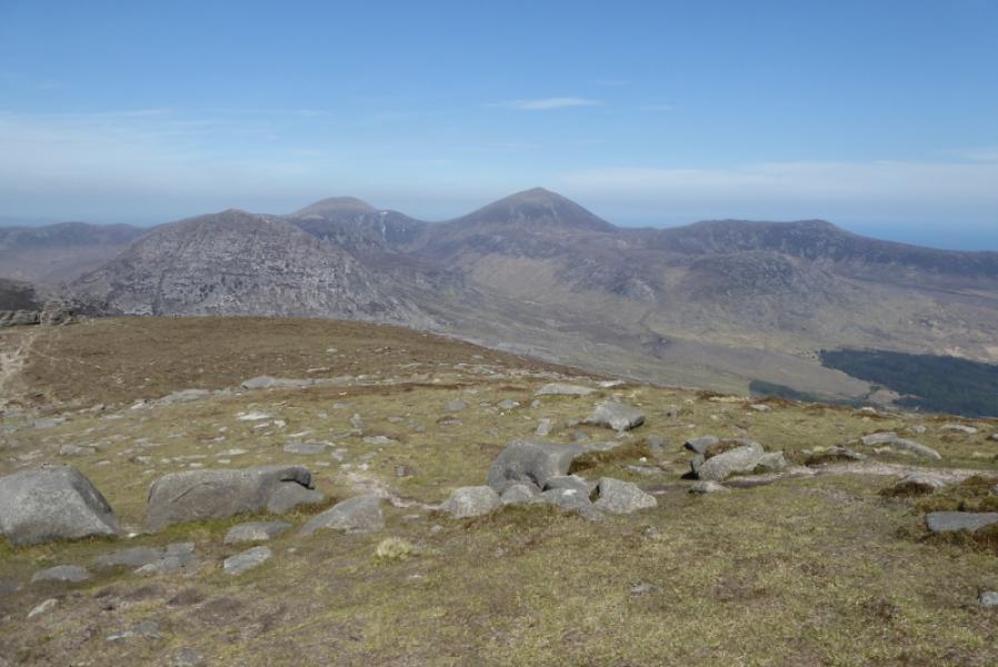
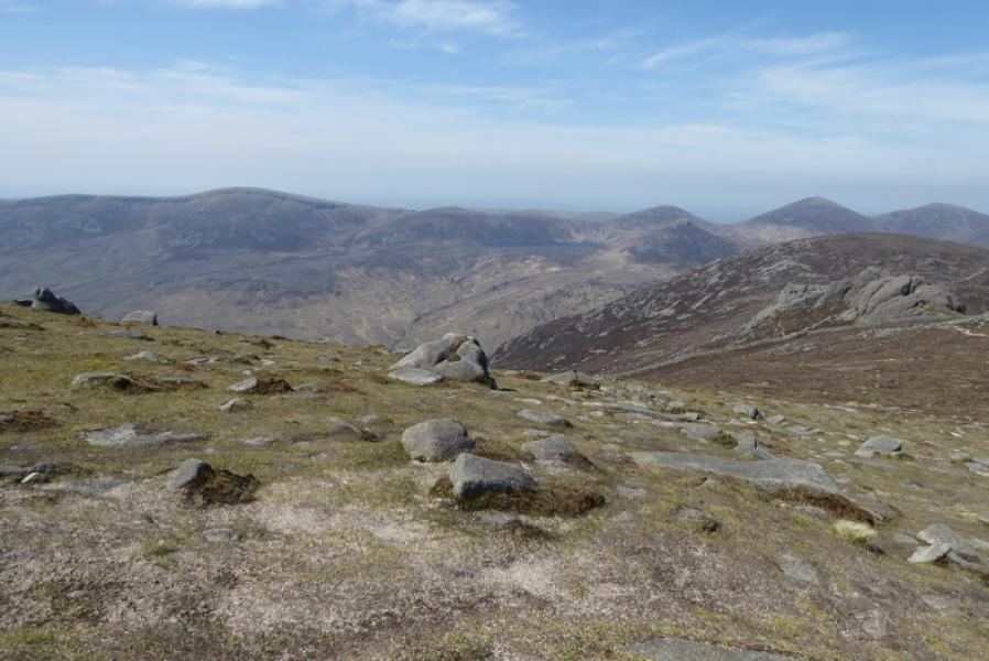
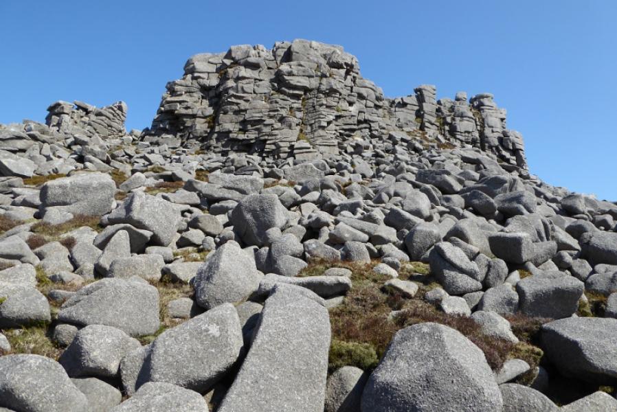
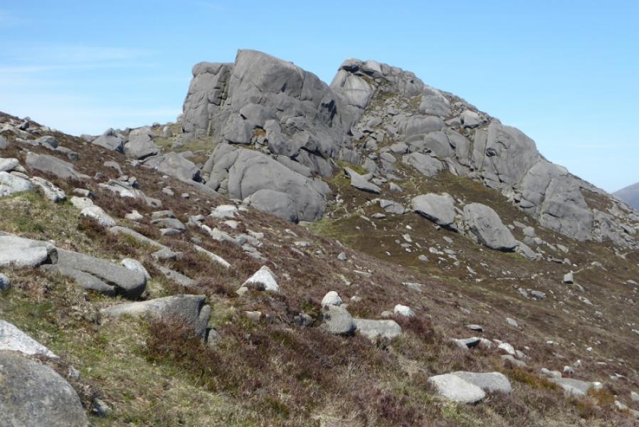
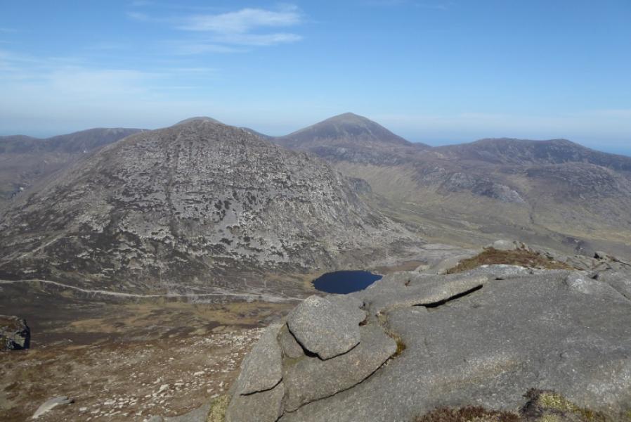
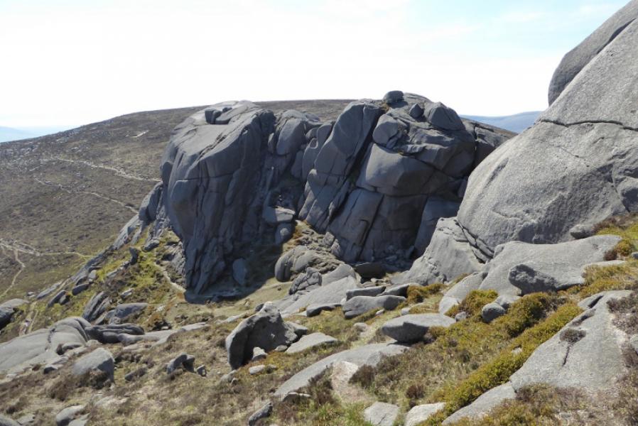
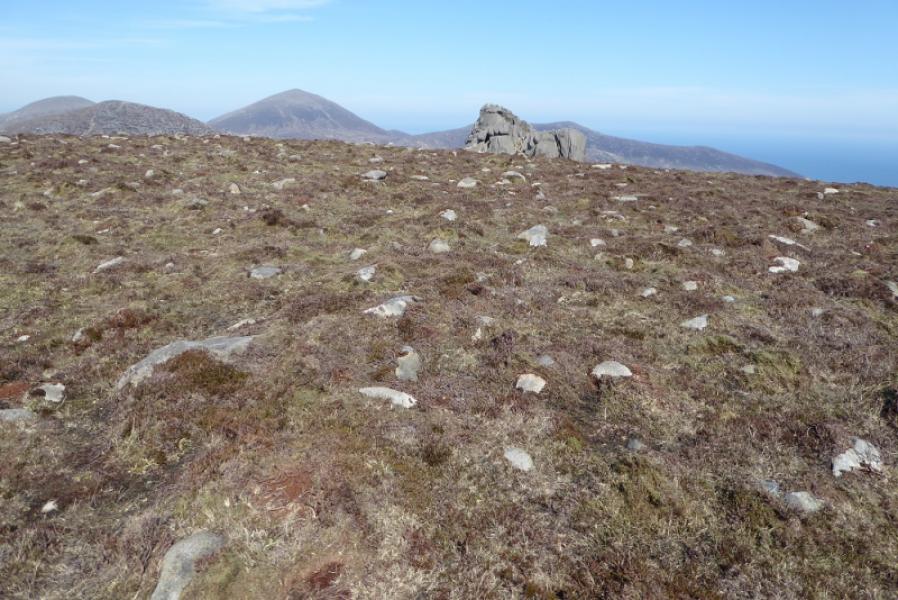
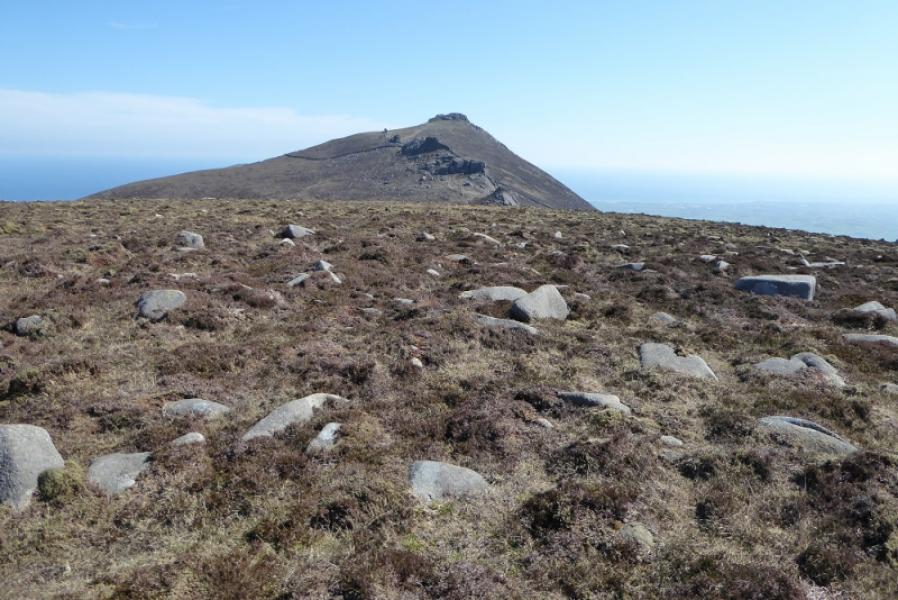
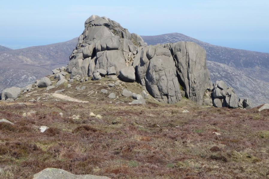
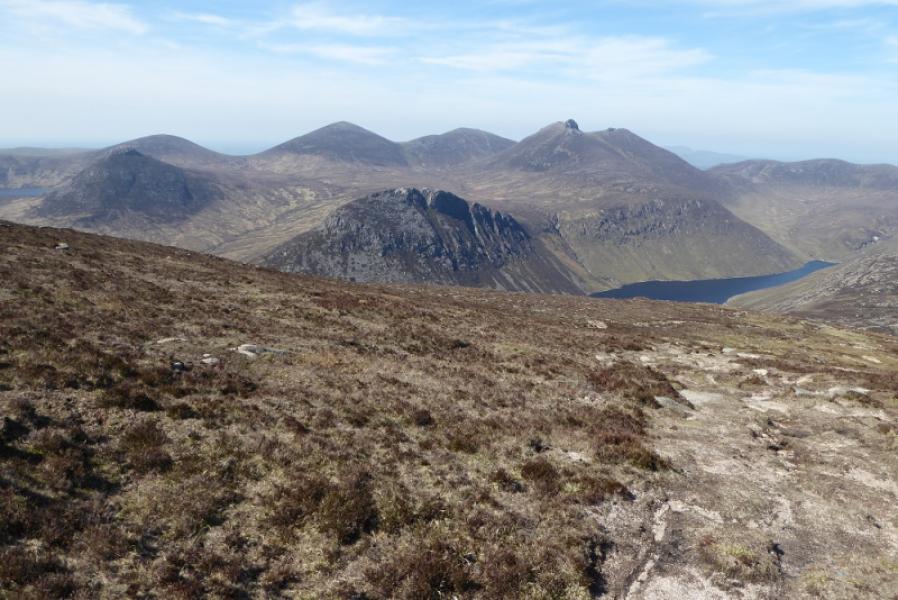
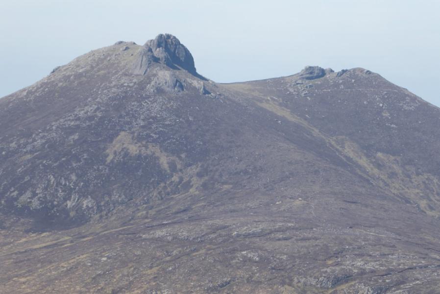
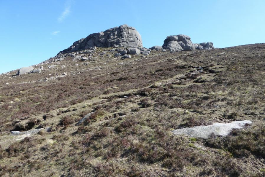
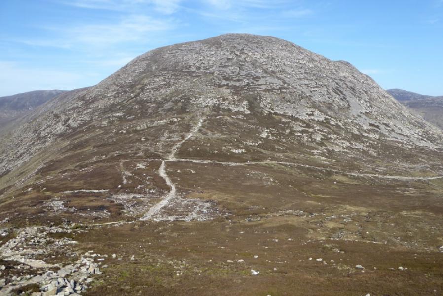
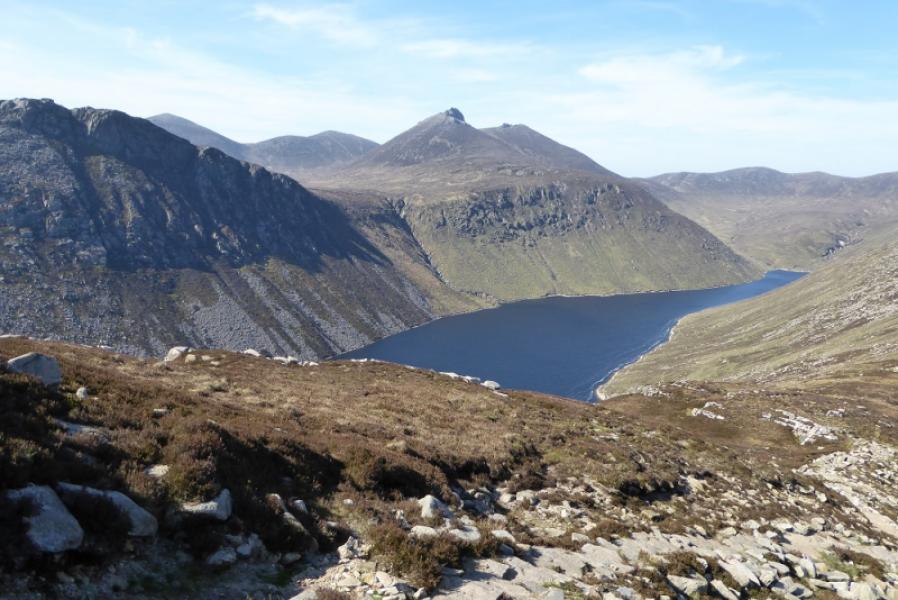
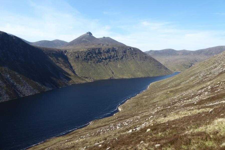
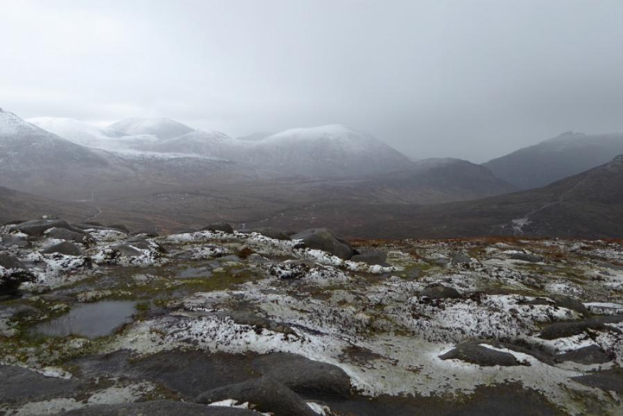
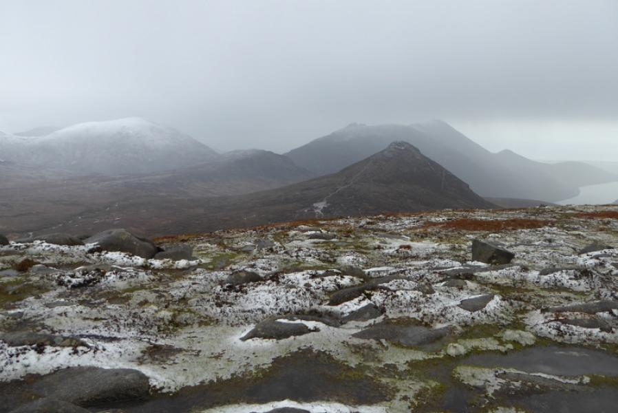
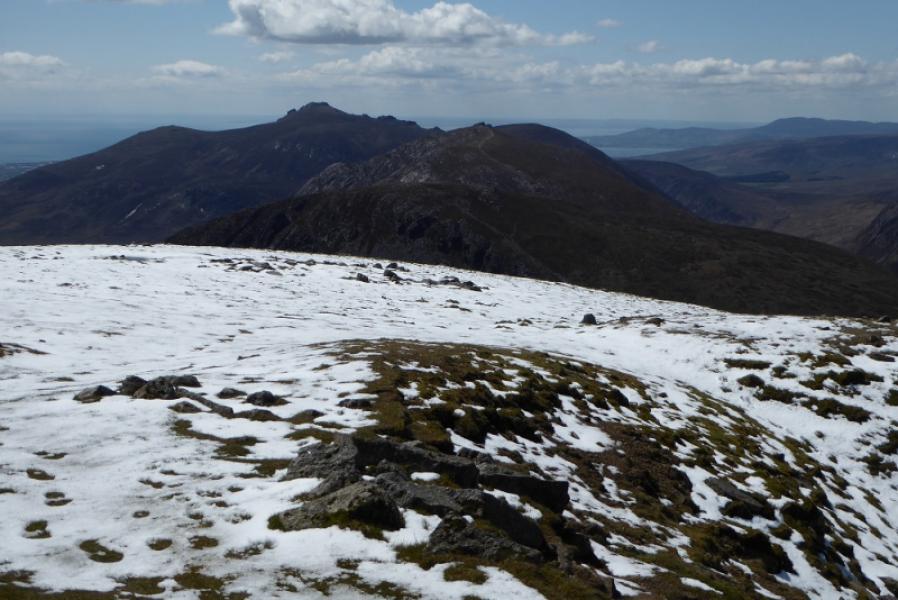
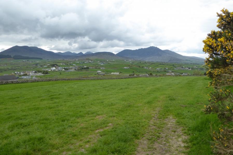
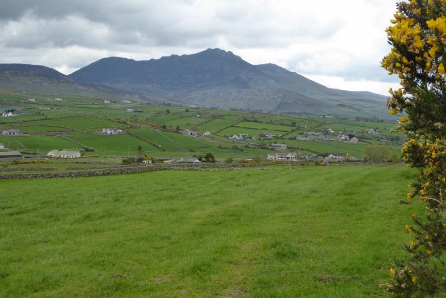
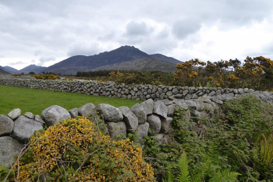
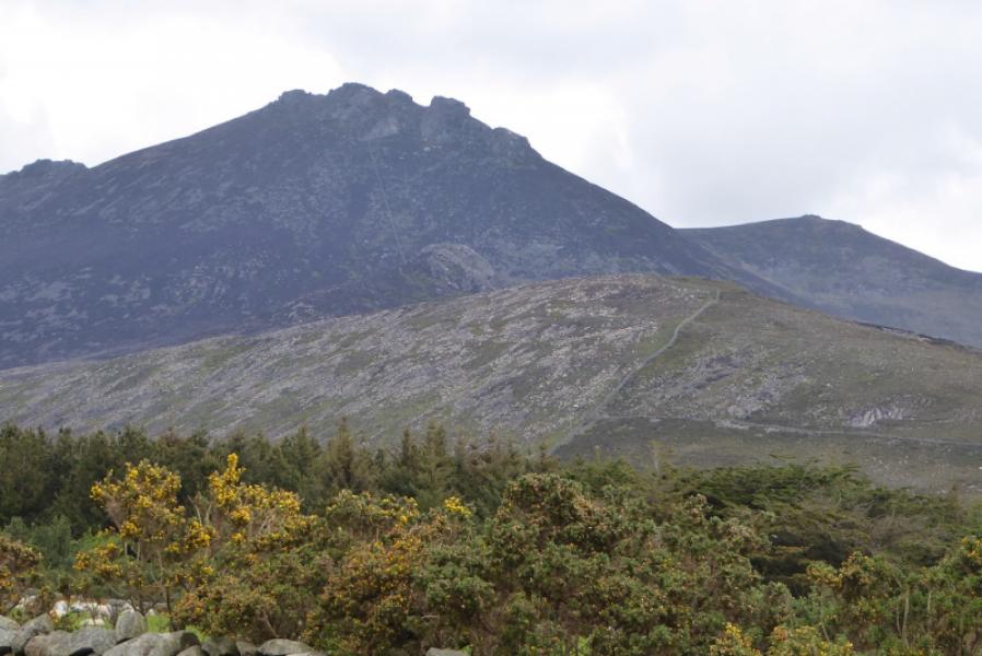
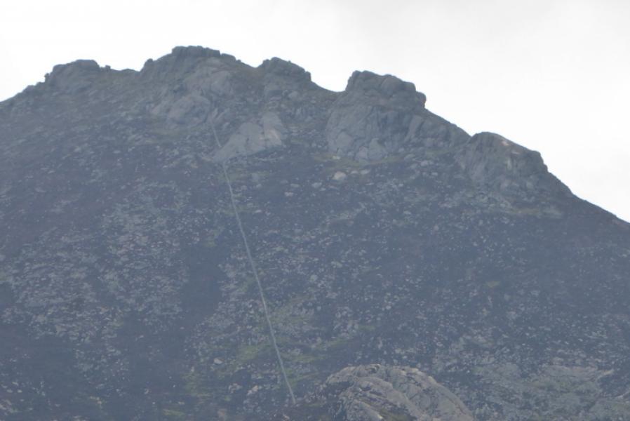
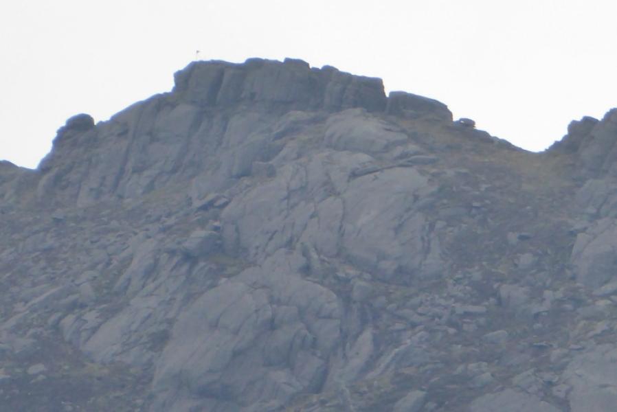
Slieve Binnian is the most attractive mountain in the Mournes due to the large number of tors on its crest. These are well worth exploring but some are difficult to climb. Fortunately the summits listed above can be reached quite easily. Some maps show the most northerly tor on the summit crest to be the highest but, observations on the ground, suggest it is the next tor to the south. Both are easily ascended anyway. Many maps and guidebooks have the North Top as the highest point along the north ridge. However there is a tor, North Tor, just to the east which is clearly higher. The path up Moolieve is quite unpleasant with steepness, rocks and gorse some of the problems to be overcome. Some of the descent from the North Top to the Ben Crom Dam is quite stony. In clear weather, views are excellent to almost all peaks in the Mourne Mountains.
Route
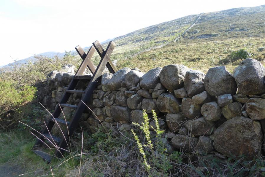
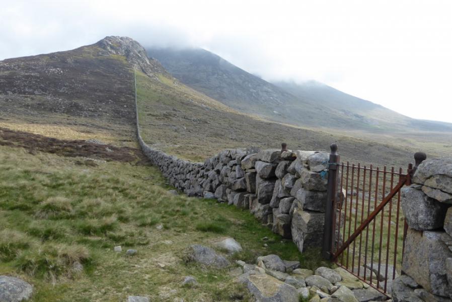
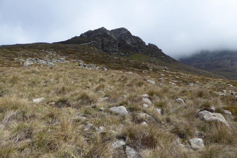
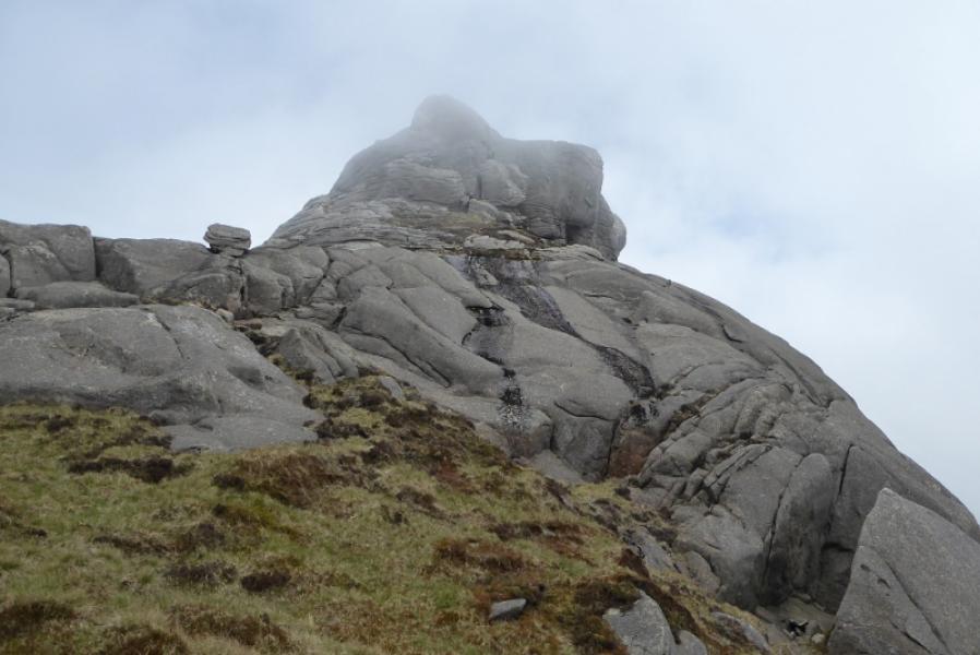
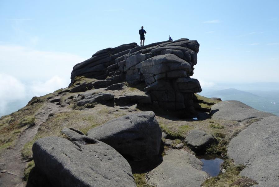
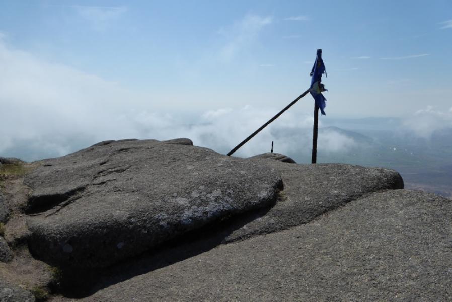
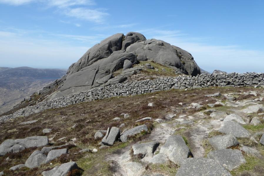
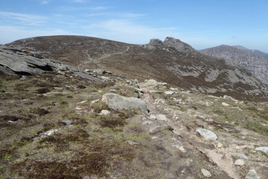
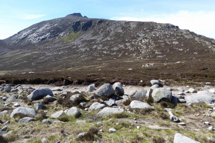
(1) From the Silent Valley car park, follow the waymarks for the Reservoir walk. Pass the toilets and pond. At the next sign, the reservoir walk goes left but another rpath goes straight ahead. Follow this which soon runs alongside the Mourne Wall. Reach a stile and cross the wall. Start picking a way up the steep hillside which is overgrown with gorse. It's probably easiest to stay close to the wall but progress may be painfully slow. Eventually reach the top of Moolieve ( no cairn on your side of the wall). Continue, following the wall down to a col where a gate allows the wall to be crossed. This route goes around Wee Binnian on its eastern side following some faint paths then ascend NW to regain the wall in the col between Wee Binnian and Slieve Binnian. Continue up. The wall line (no actual wall on the summit) goes over the summit so stay with the wall until it runs out then go left, below the summit which has iron posts embedded in the rock. Reach the shallow dip between the summit tor and the one just to its N. The most northerly tor, recognised by having 3 boulders on its top, is easily ascended by going over to its N side then walking up grass and very easy slabs. From here, reaching the true summit looks impossible but is actually quite easy. From the dip, follow a path for about 30 m until it runs out. Either go left through a slightly awkward groove or retrace a little and climb some open stepped rock. Both these lead to the crest and it is little more than a walk over grass and easy rock to reach the higher iron post which is about a metre from the highest point and this is the summit of Slieve Binnian, 747 m.
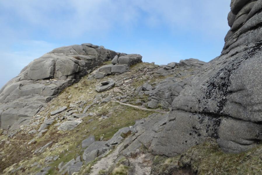
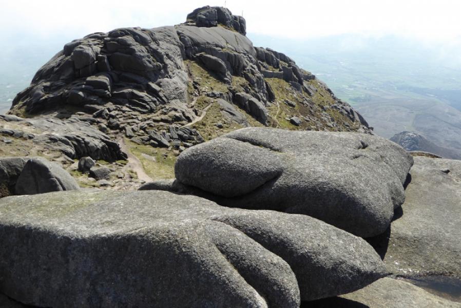
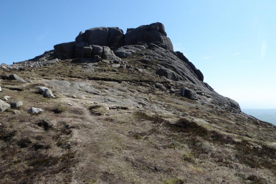
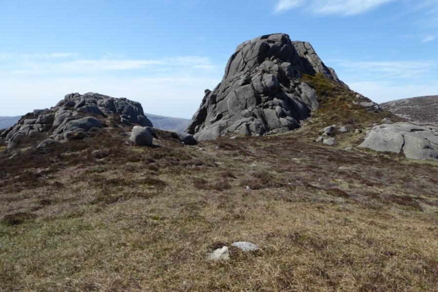
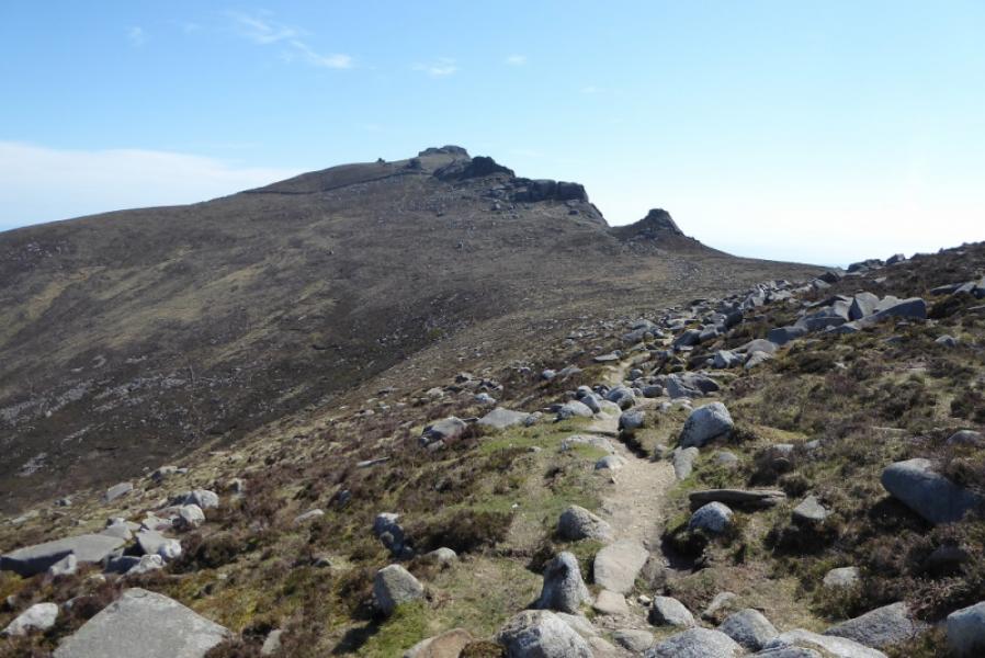
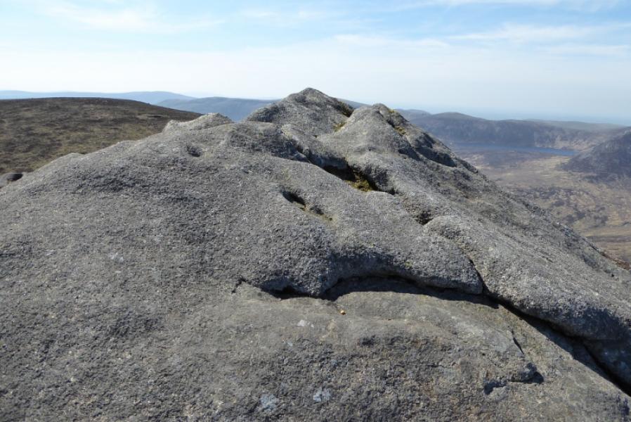
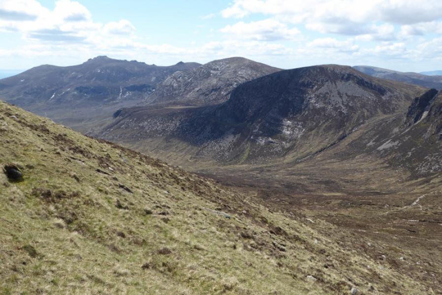
(2) Retrace to the dip and continue past the tor to the N then walk down easy slopes to pick up a substantial path. This leads past several tors. One of these is called The Back Castles and is made up of small rectangular blocks unlike the other tors which are mainly rounded. Continue heading N on the path which passes below the N Tors. Go past the first tor then go between the two tors. The higher one is now on your left so pick a way up grassy/rocky ground to reach the crest E of the summit. You may have to pass through a rocky groove to get to here. Once on the crest, it is little more than a walk to the highest point of the Slieve Binnian N Tor, 683 m. Be cautious as there are steep drops on most sides of the summit apart from the ascent route.
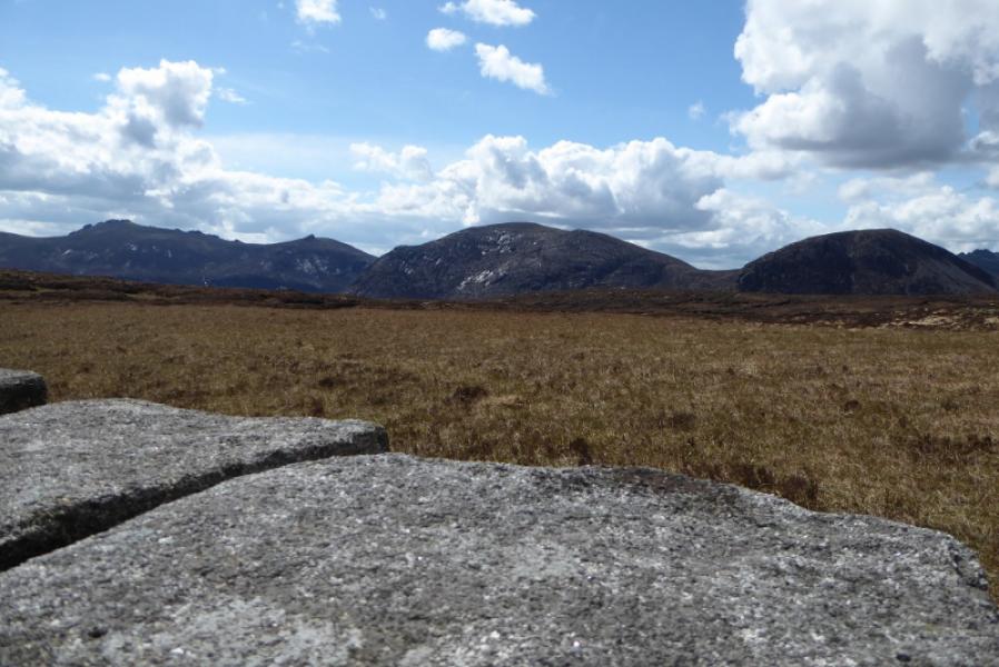
(3) Retrace back to the main path and head W up grass and short heather to reach the Slieve Binnian N Top, 678 m. The ground is quite featureless with no cairn.
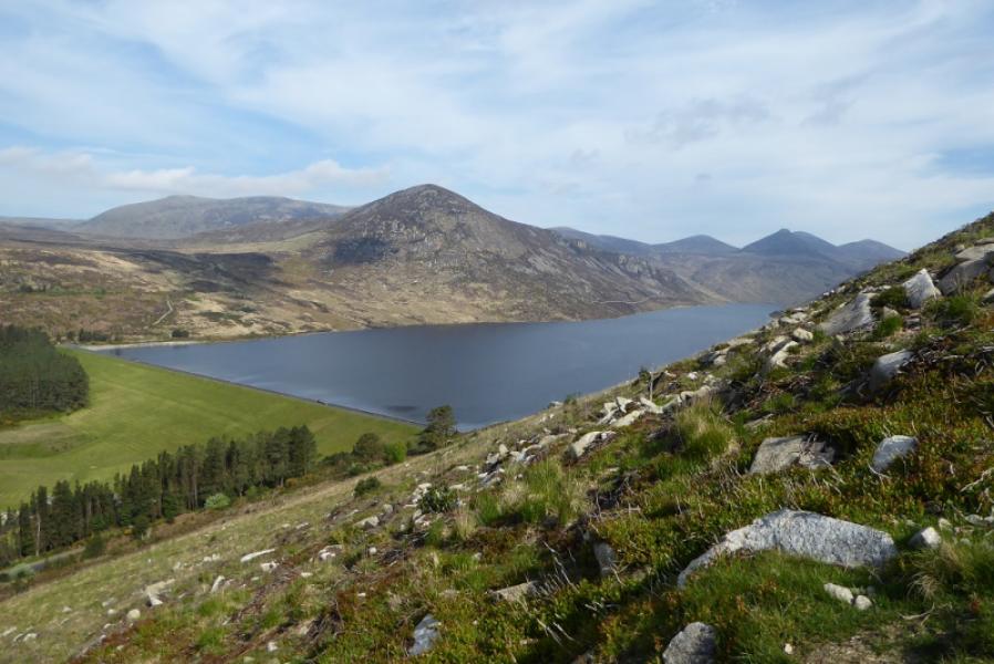
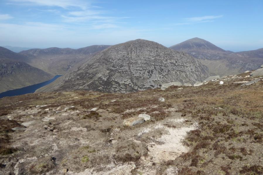
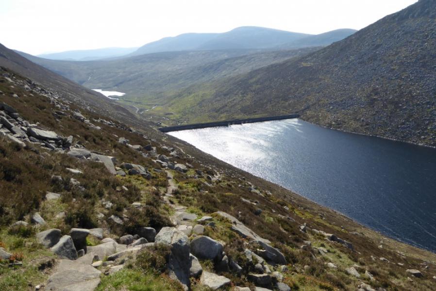
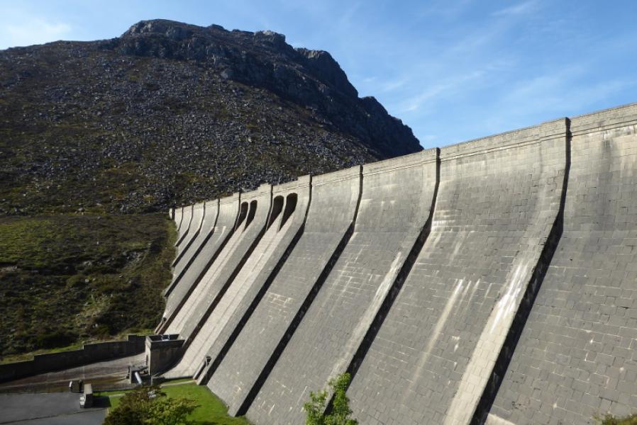
(4) Retrace to the main path and follow it N, descending gradually until a steeper section lower down which is quite rough. Eventually reach the col below Slievelamagan where a path goes off left before curving round to descend SW towards the Ben Crom dam. This path is quite rough and stony in places. Once at the dam, a tarmac road leads back to the car park.
Notes
(a) This walk took place on 13th May, 2019.
Photos - Hover over photo for caption. Click on to enlarge. Click on again to reduce.