Get Lost Mountaineering
You are here: Ireland » North » Mountains of Mourne
Slieve Commedagh, Slieve Donard & Chimney Rock Mountain from Newcastle
Slieve Commedagh, Slieve Donard & Chimney Rock Mountain
from Newcastle
Start/Finish
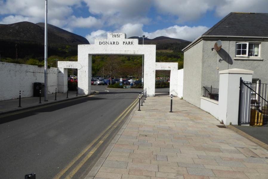
Donard car park in Newcastle which is at the south end of the town. Coming from the Kilkeel direction, it is on the left just after the road leaves the sea front. If you have driven through the town on the one way system then it is on te left after you have left the sea front and gone right as if to head back north.
Distance/Time
17 km About 7 - 8 hours
Peaks
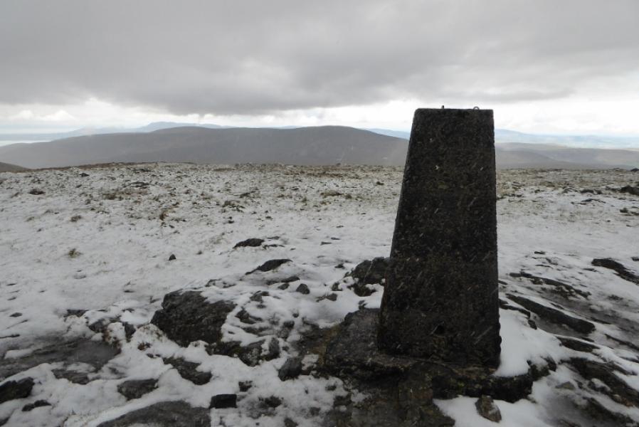
Slieve Commedagh, 767 m, J 346 286.
Slieve Donard, 850 m, J 358 276.
Chimney Rock Mountain, 656 m, J 364 257. (Irish National Grid System)
Irish OS Discovery Series Map 29: The Mournes (1:50000)
Harvey Superwalker XT25: Mourne Mountains (1:25000)
OSNI Activity Map: The Mournes (1:25000)
Introduction
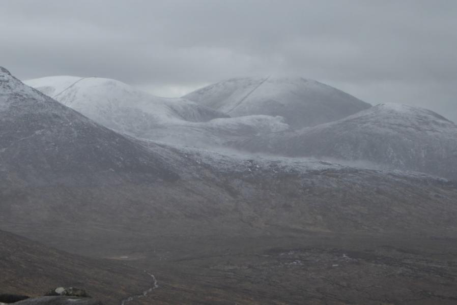
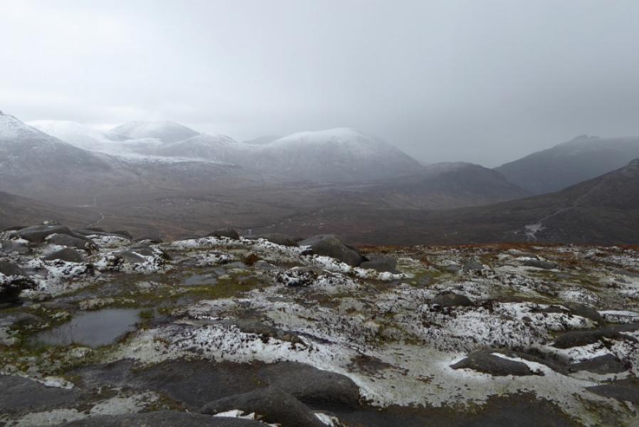
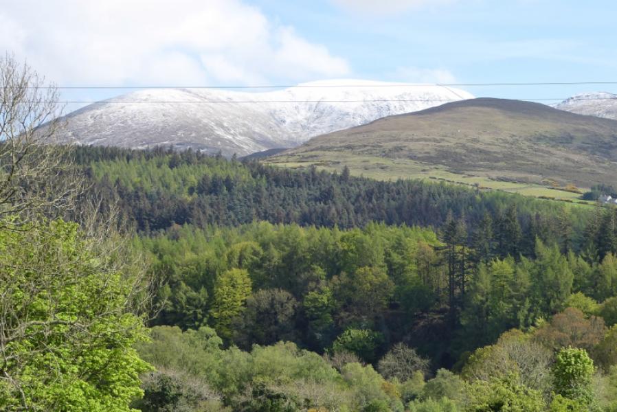
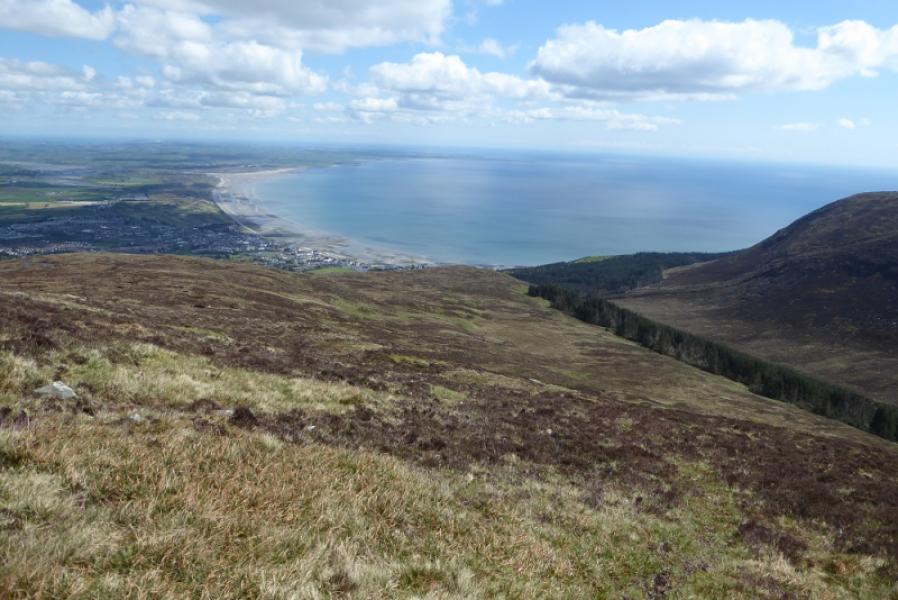
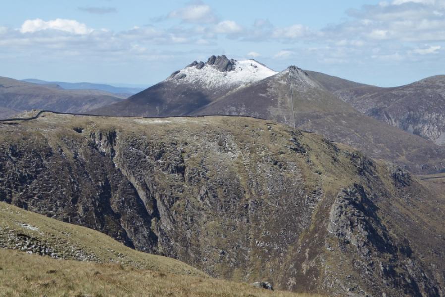
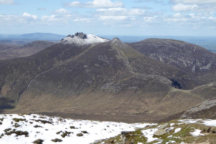
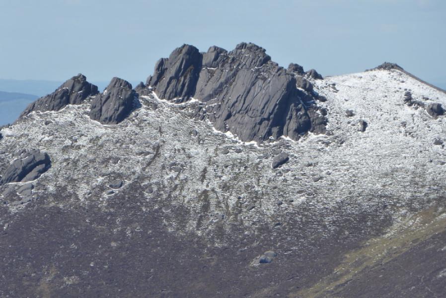
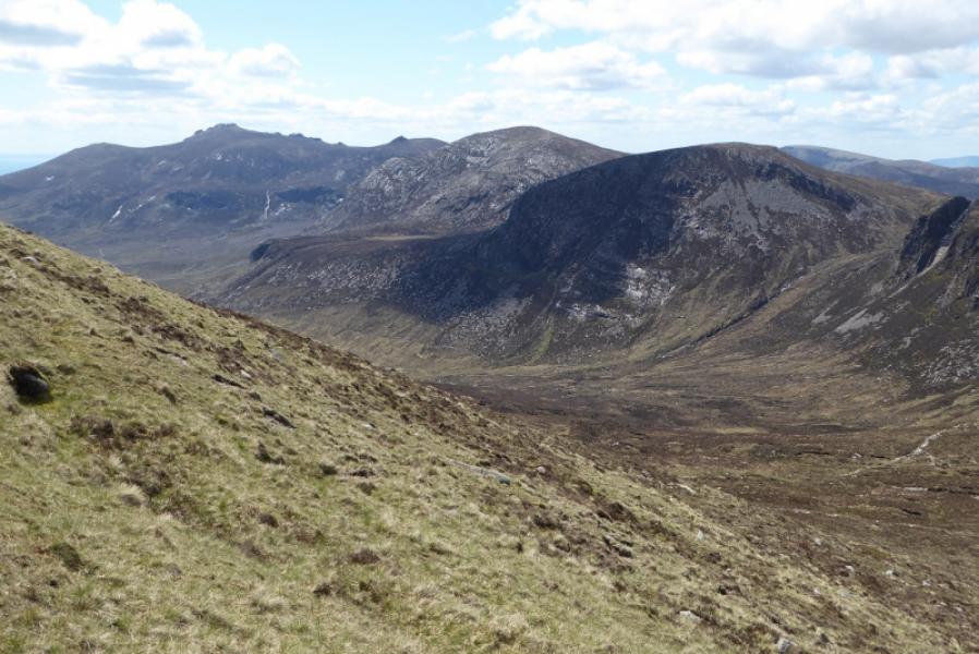
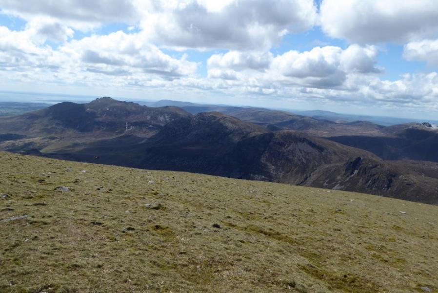
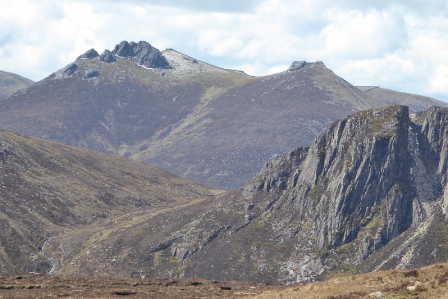
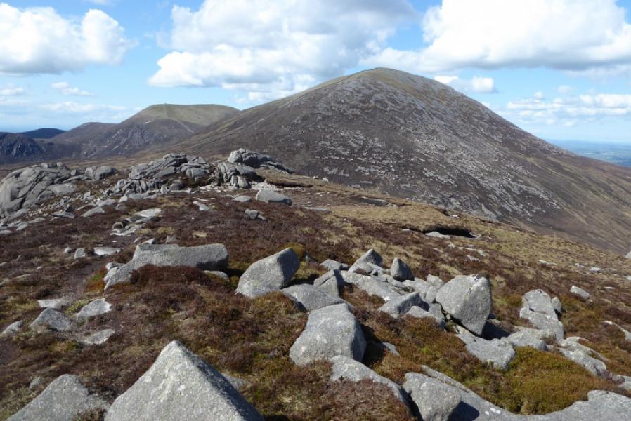
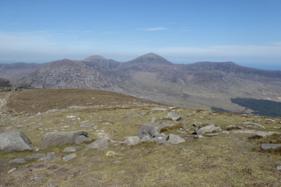
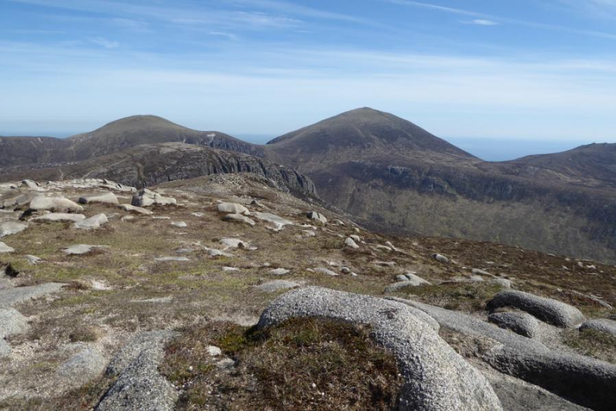
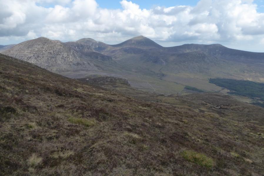
Slieve Donard is the highest mountain in Northern Ireland. This route takes in part of the Mourne Wall and two of its towers. There are excellent views especially to the summit tors on Slieve Bearnagh.
Route
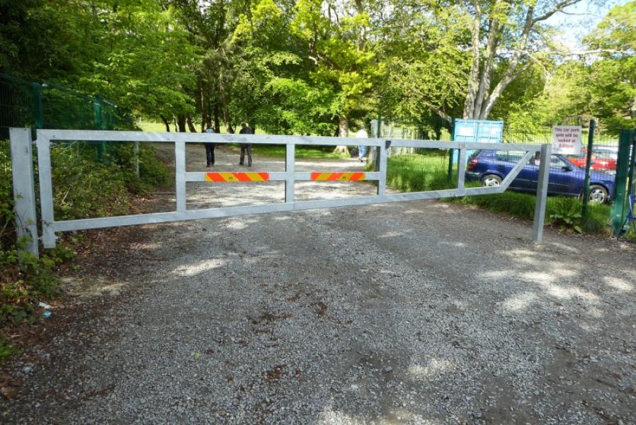
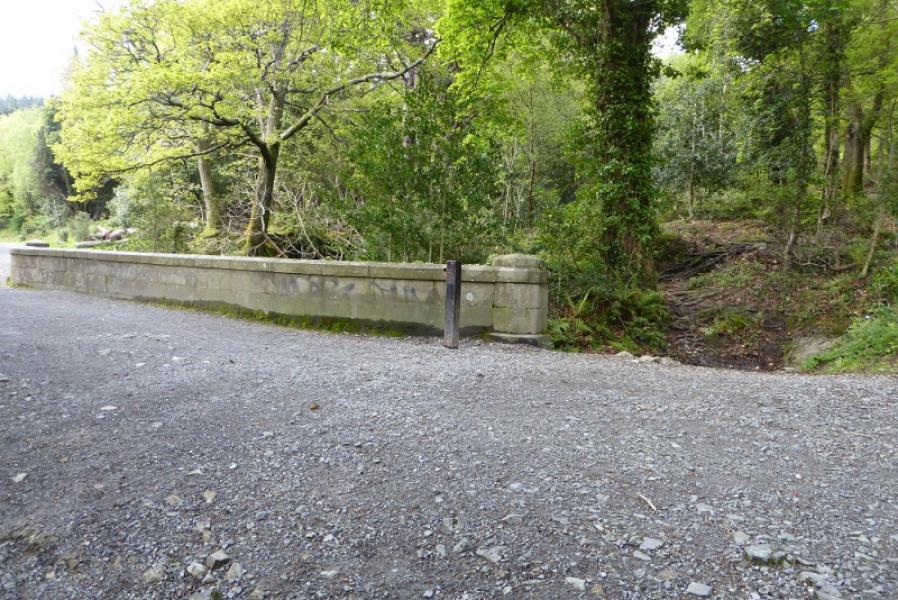
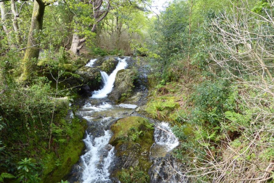
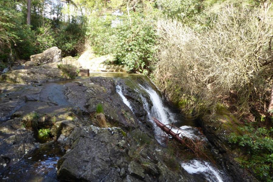
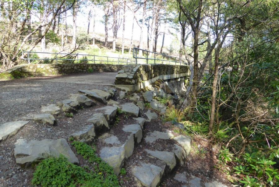
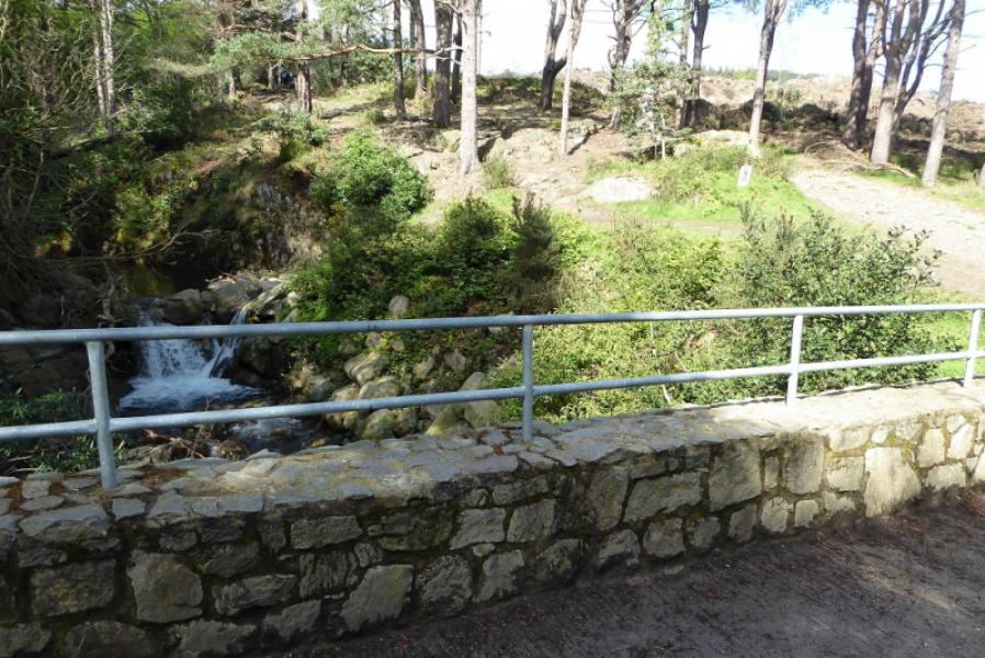
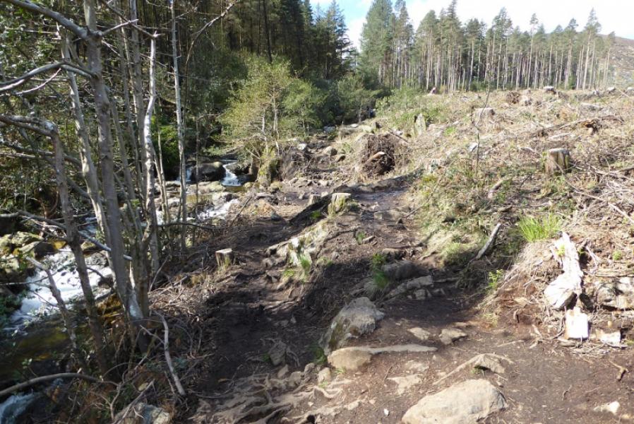
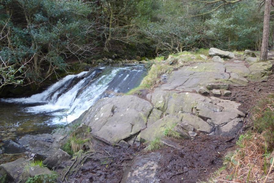
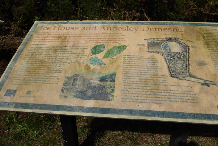
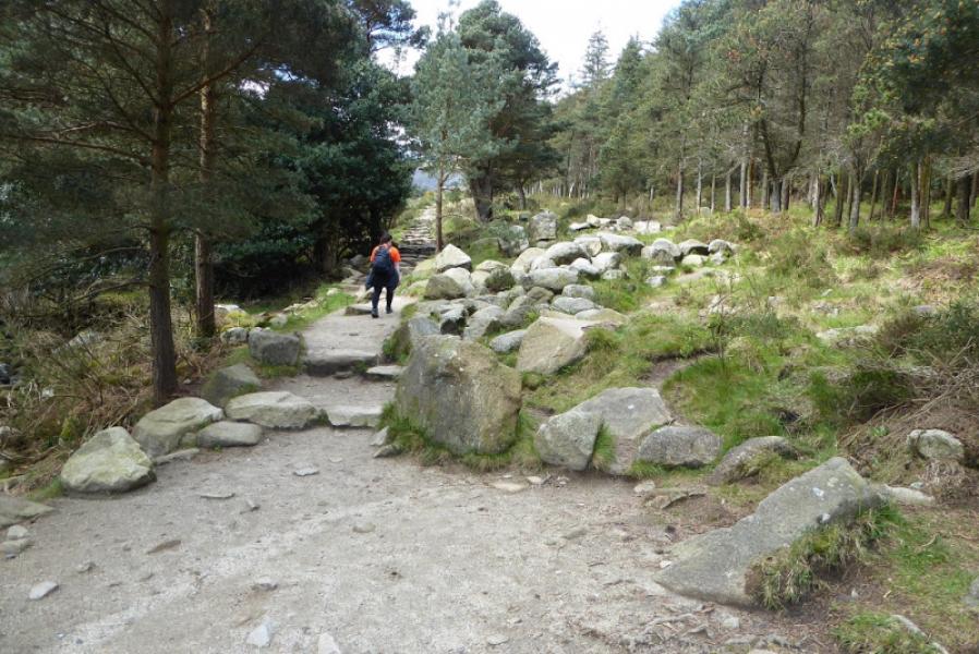
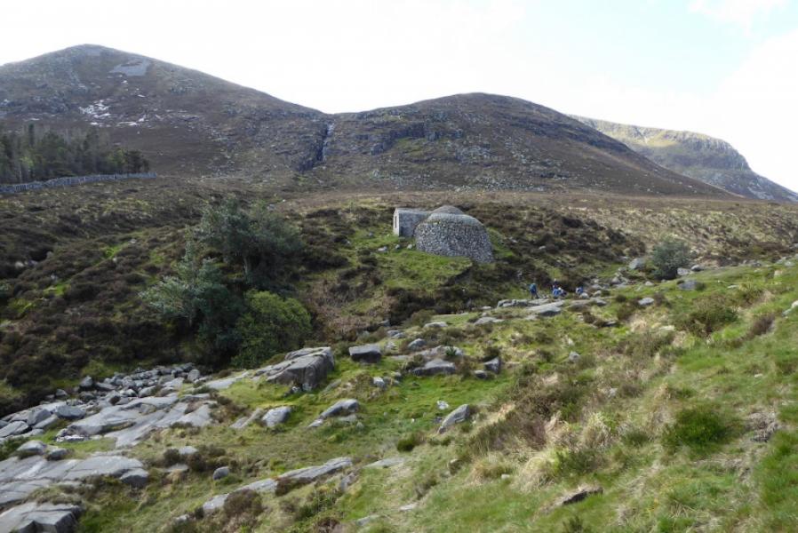
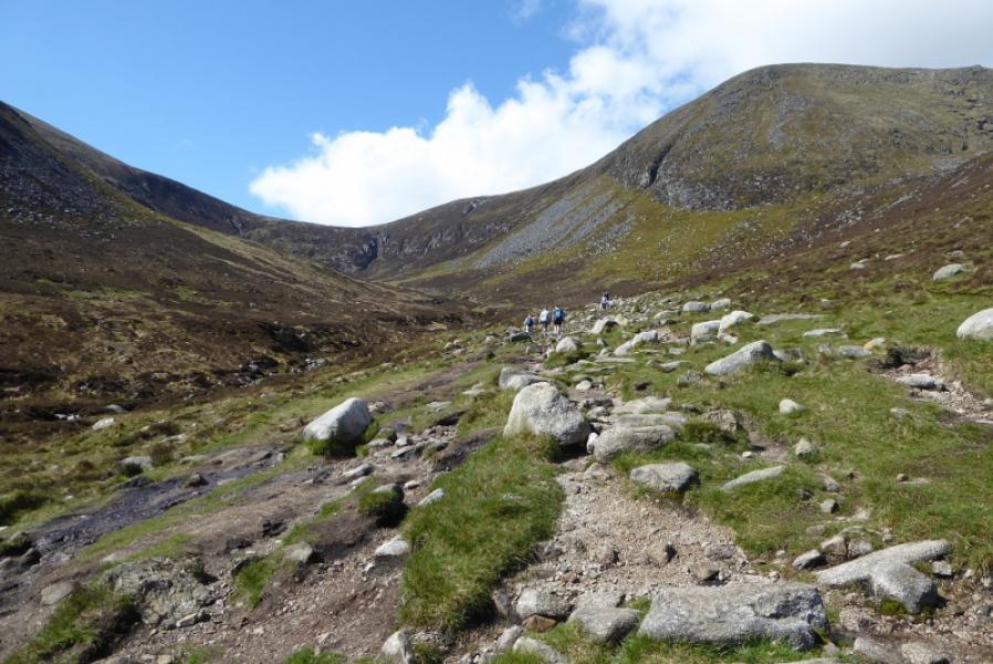
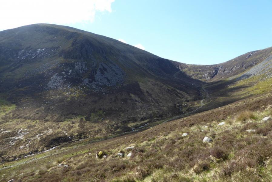
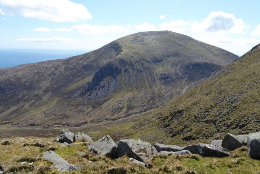
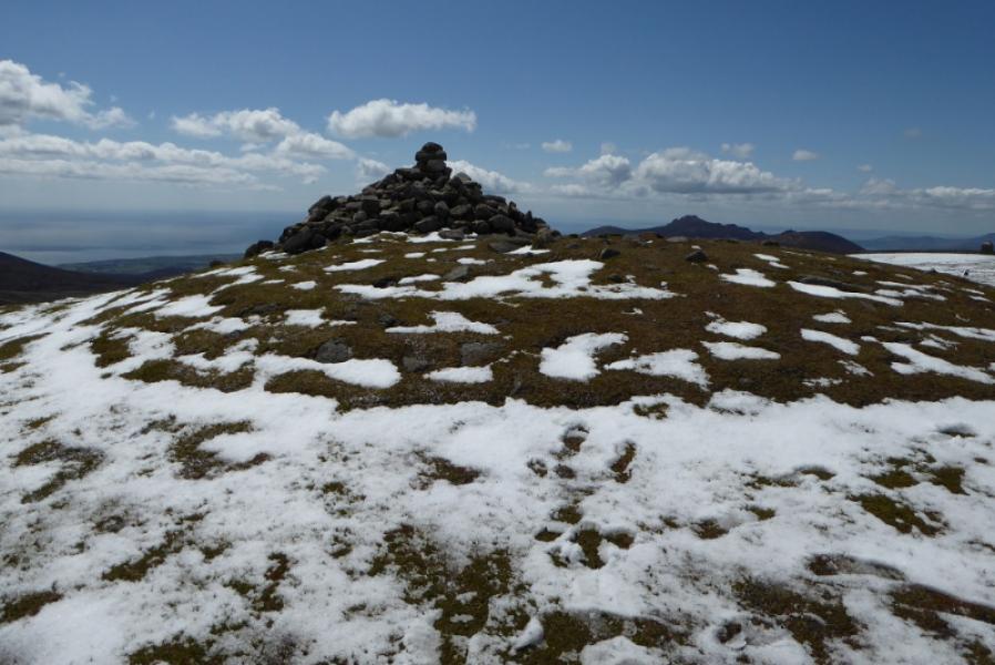
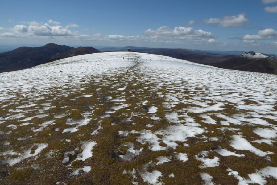
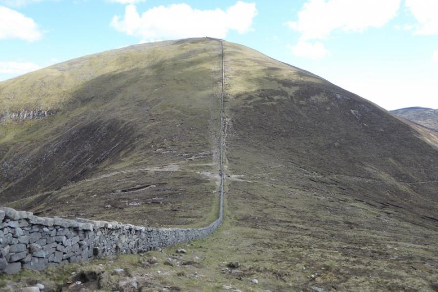
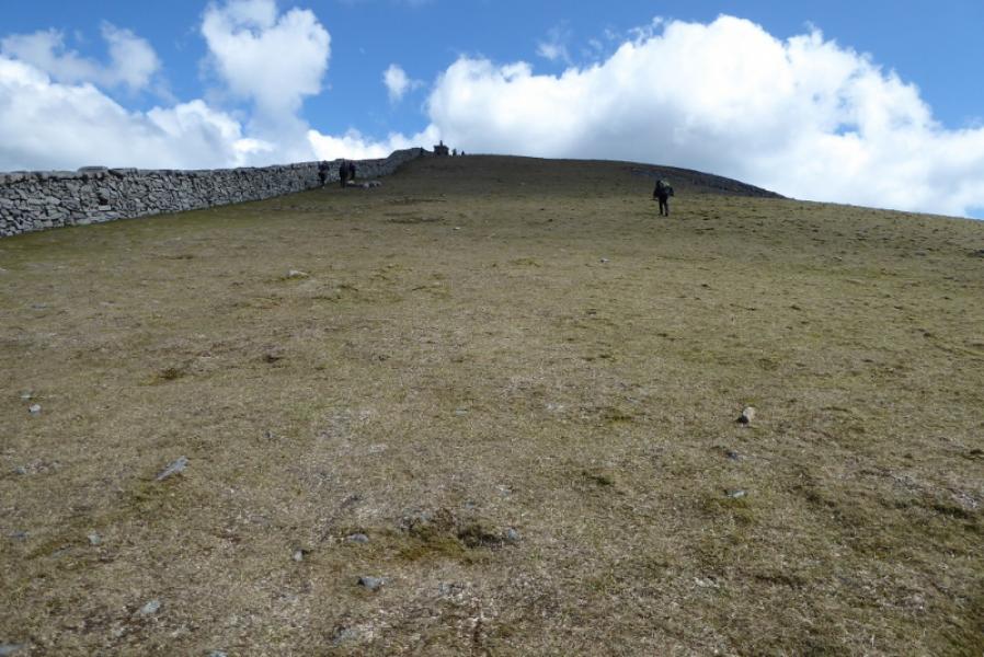
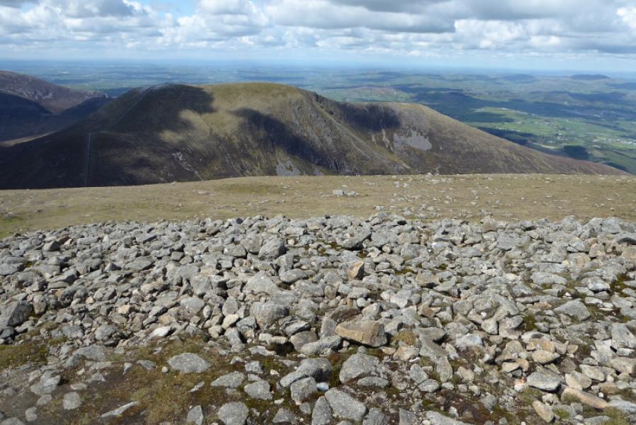
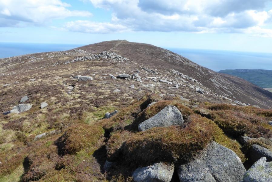
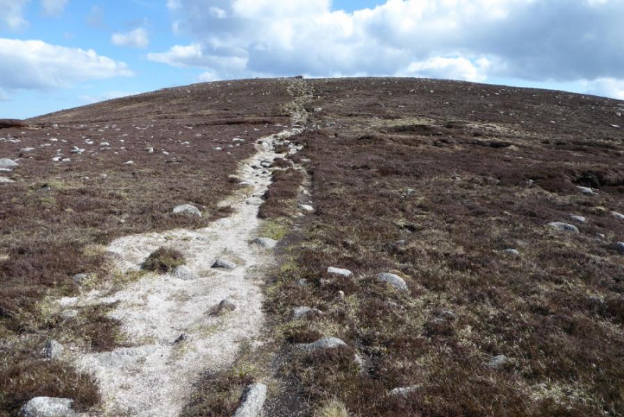
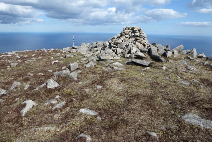
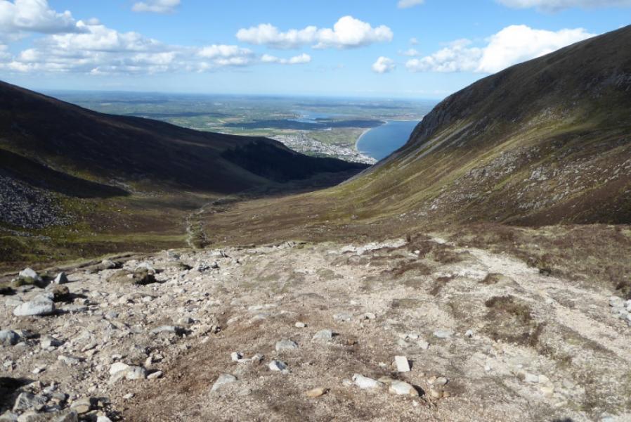
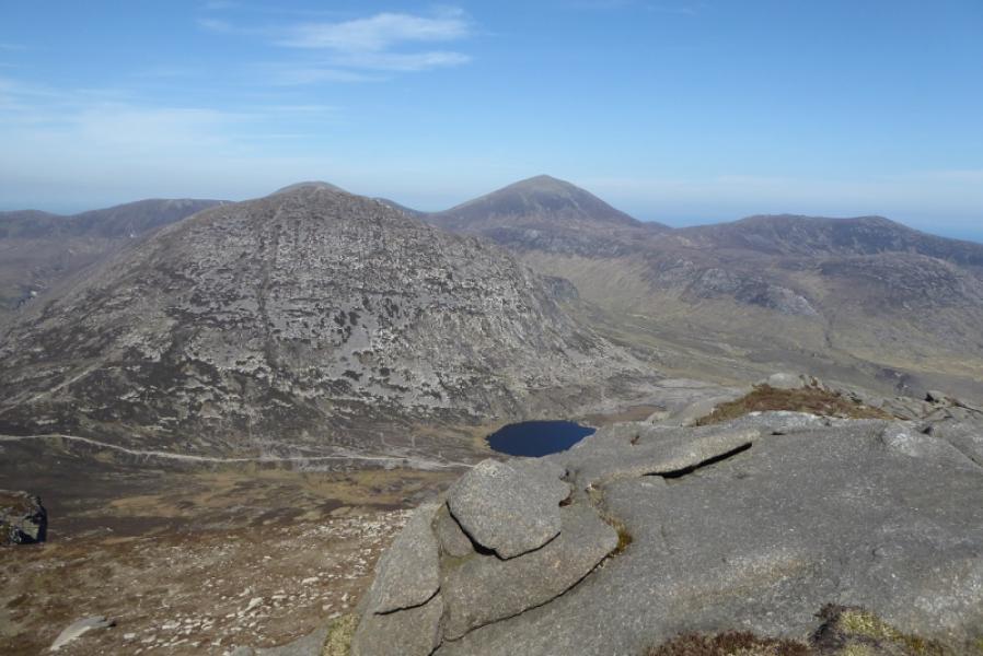
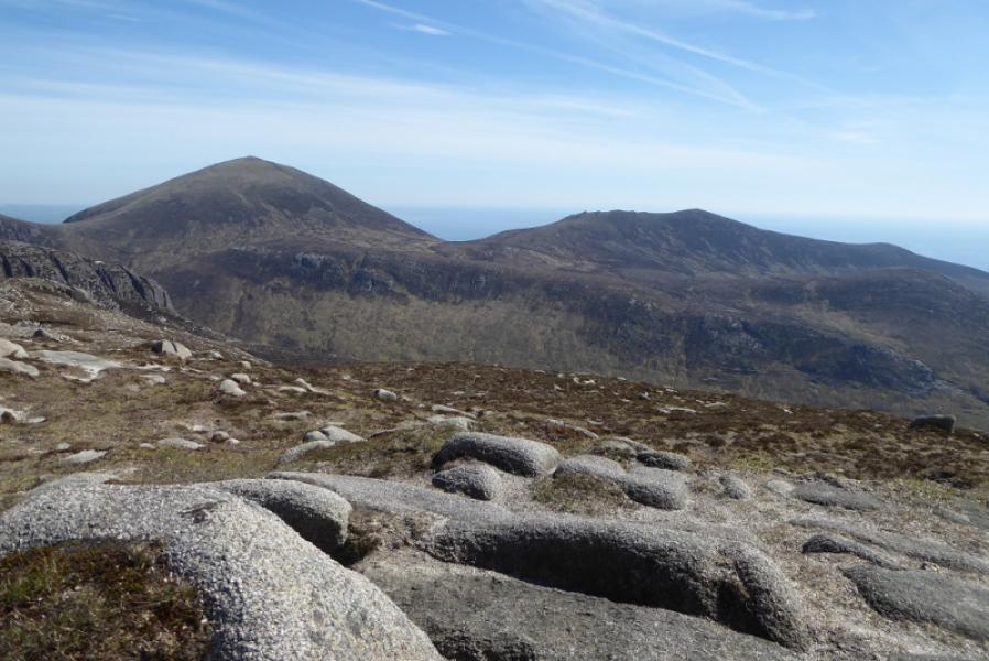
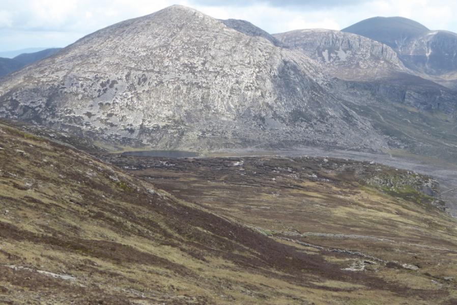
(1) Walk through the car park, keeping to the left and follow the track up. This soon becomes a path, with the Glen River to your left, and reaches a road bridge. Cross the bridge and continue up the other side of the Glen River. Reach a second bridge and cross back to the other side of the river. Continue up and reach a third bridge but do not cross it. Continue up and soon exit the dense forest. Forest is now just on your right. Pass the Old Ice House which is on the other side of the river. Reach the end of the forest. Go a little further then leave the path and start picking a way up to the right. Paths are hard to find at first but higher up there is a good path which passes to the right of an obvious pointed boulder well seen from below in clear weather. Continue up to reach the crest of the N ridge of Slieve Commedagh. Follow the ridge up, roughly S. Pass a small cairn then reach a large cairn which is the summit of Slieve Commedagh, 767 m.
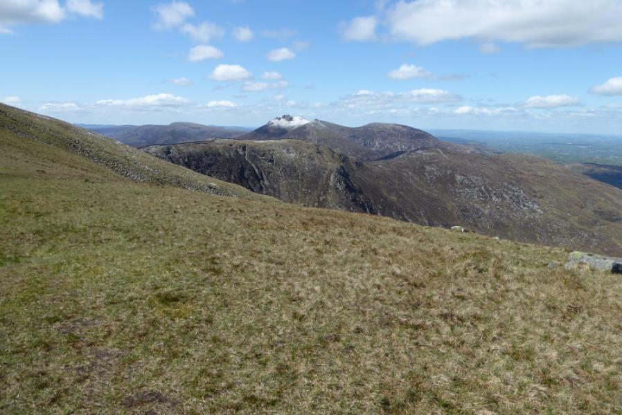
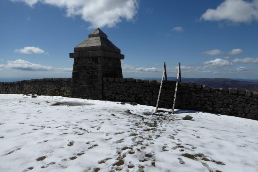
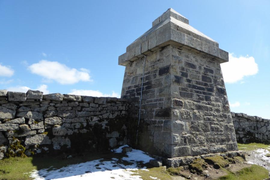
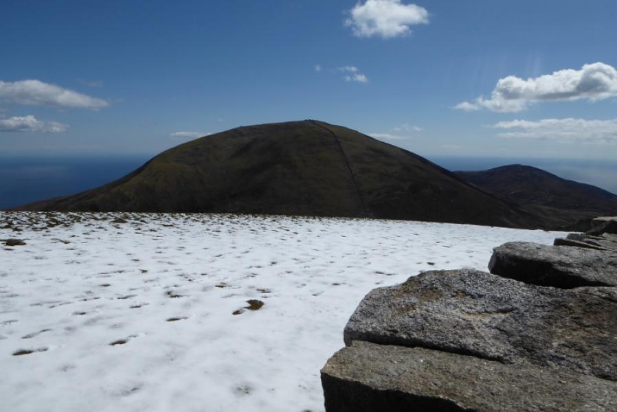
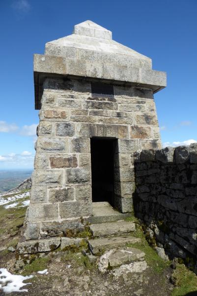
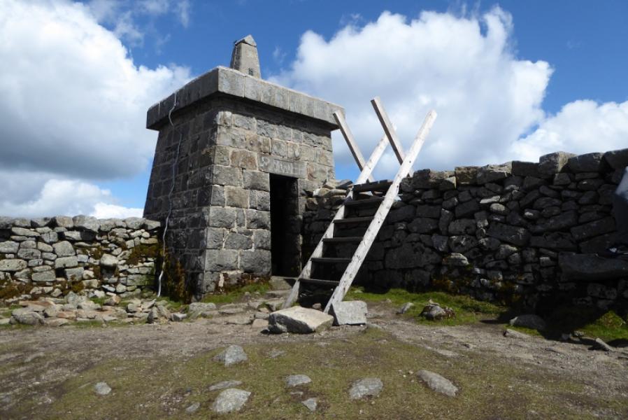
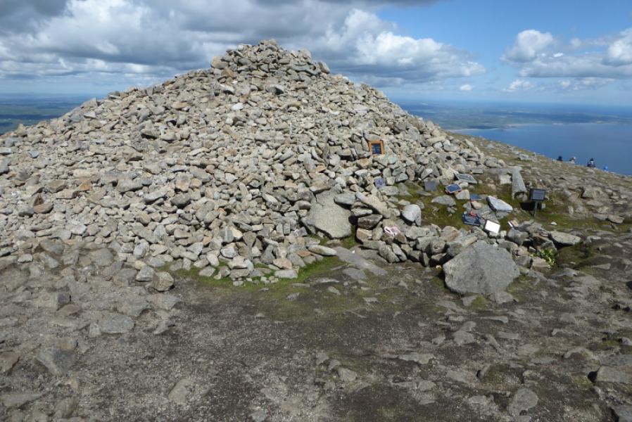
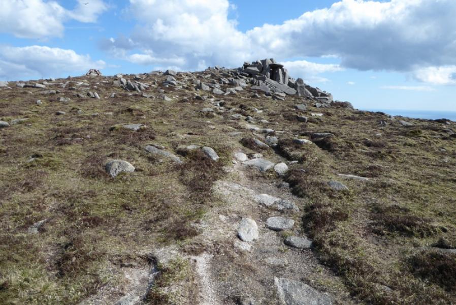
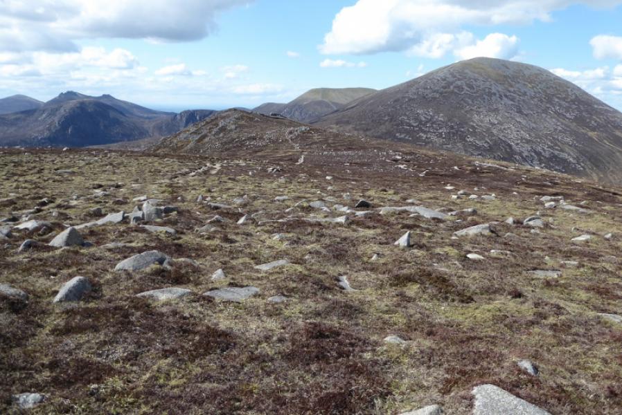
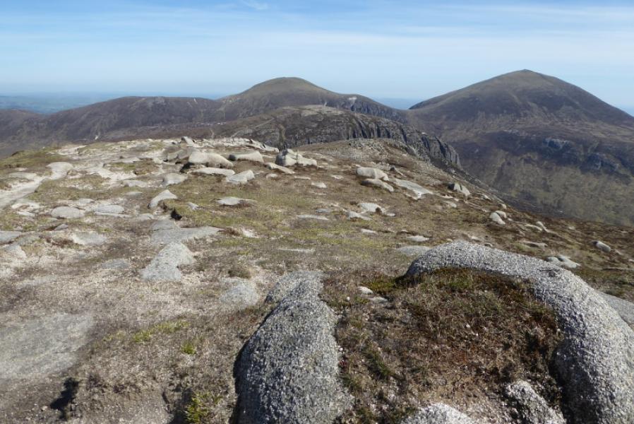
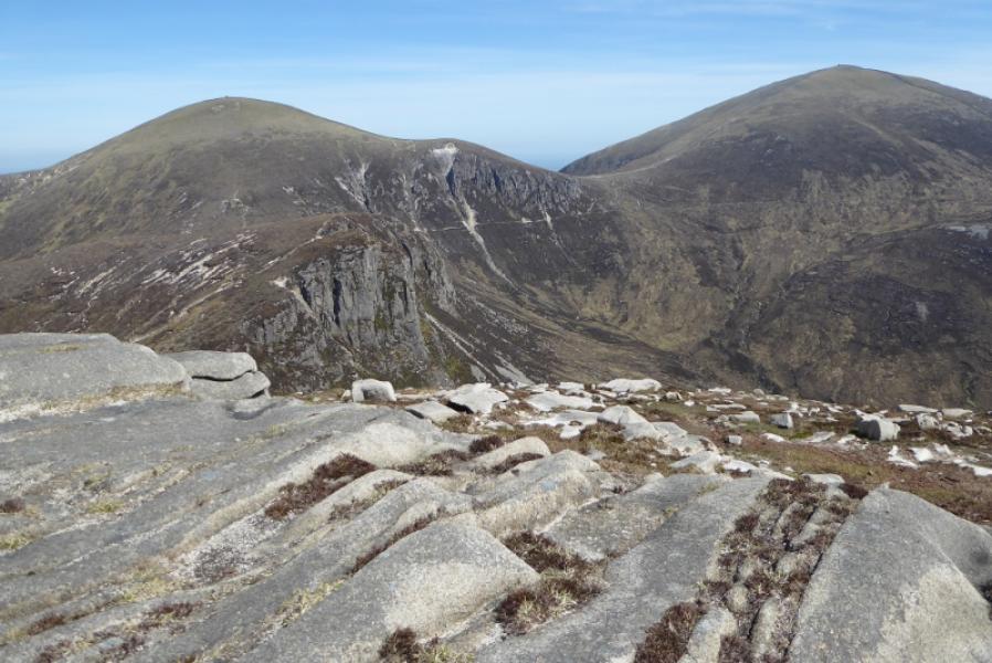
(2) Continue in the same direction and soon reach the Mourne Wall at a stile by a tower. Go over the stile and find the entrance to the tower – a good shelter in poor weather. Descend SE by the wall to reach a col with a stile but do not cross over, Continue up a steep grassy slope before the angle eases and a stile and tower are reached in a corner in the wall. The trig point is actually on top of the tower but does not count as the highest point as it is not on natural ground. Go over the stile to reach a massive cairn which is the summit of Slieve Donard, 850 m.
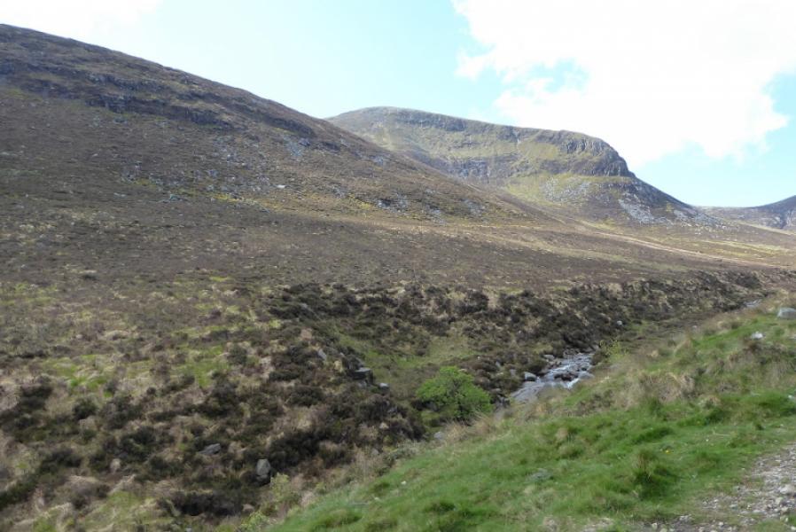
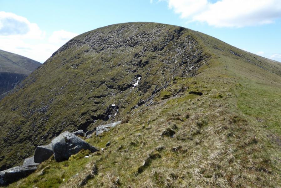
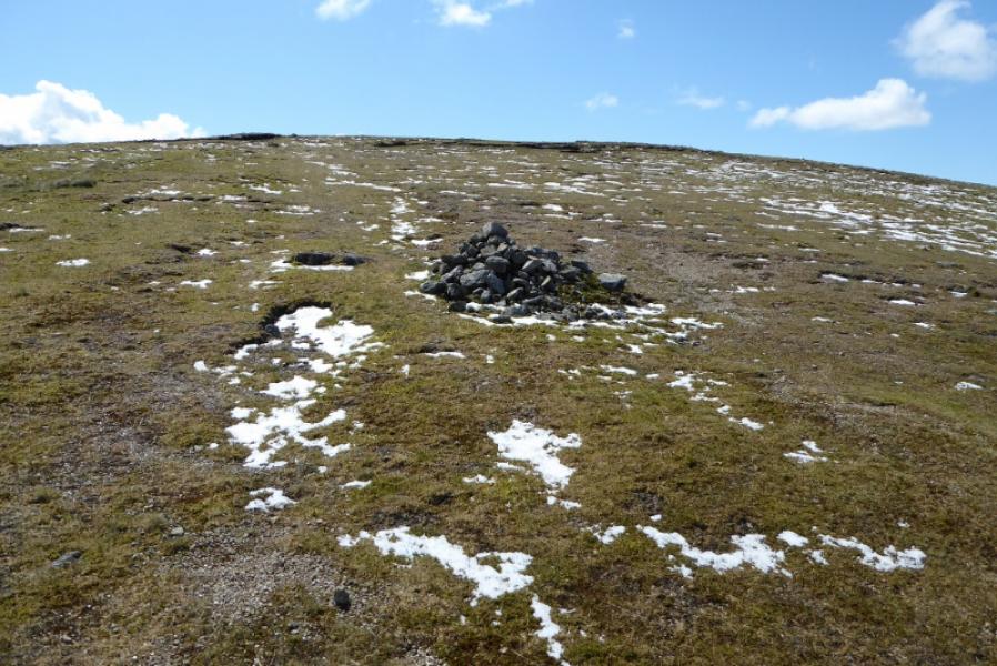
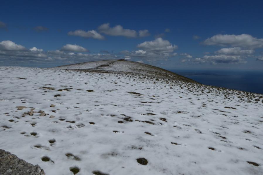
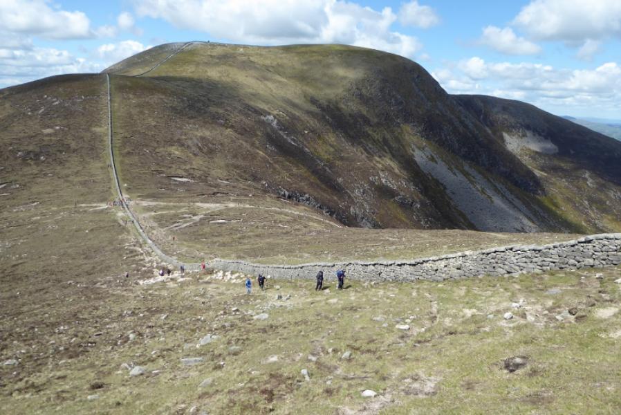
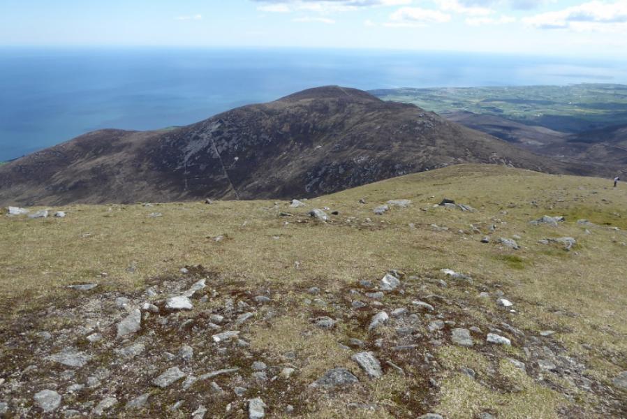
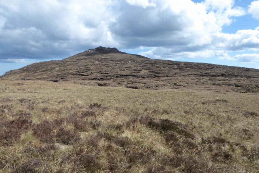
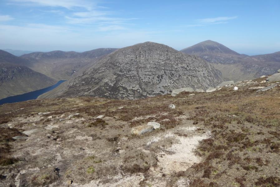
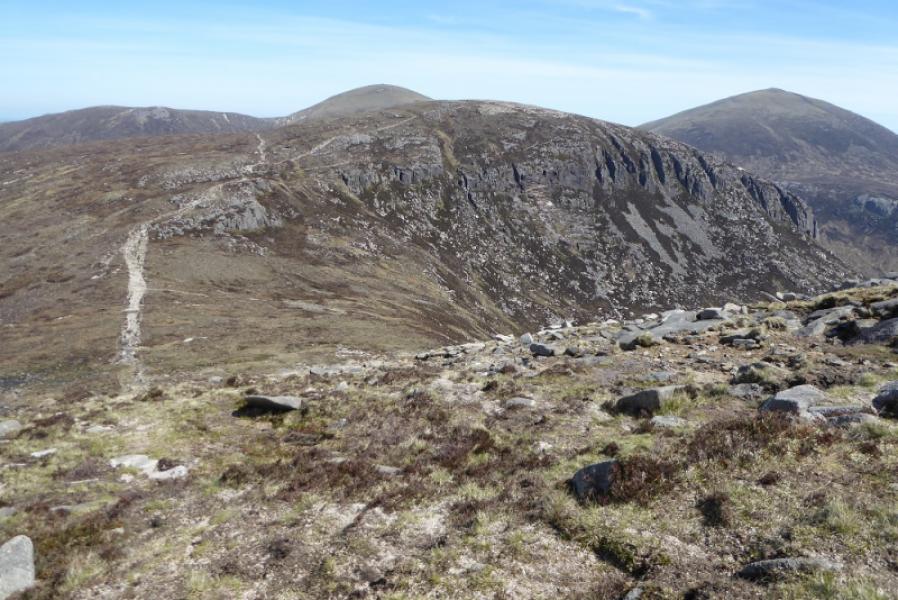
(3) Descend SSW, following the wall down. The going is easy grass to begin with but lower down the path becomes stony and eroded so drift left where there is a faint path through easier peaty heather. Reach the col where there is a stile but do not cross over. Follow the path by the wall. There are some short boggy sections which can easily be avoided. The path rises very gently. Just before it starts to descend, another rpath goes off left towards Chimney Rock Mountain. Follow this peaty path up. Pass the wide tors then continue SE on less steep ground to reach a medium cairn which is the summit of Chimney Rock Mountain, 656 m. On this approach, there is no sign of any rock which looks like a chimney!
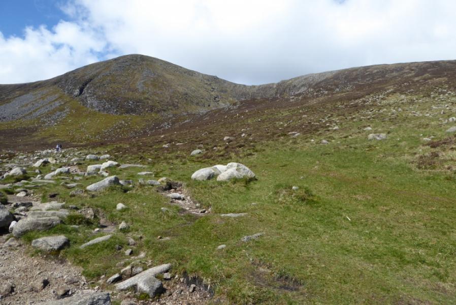
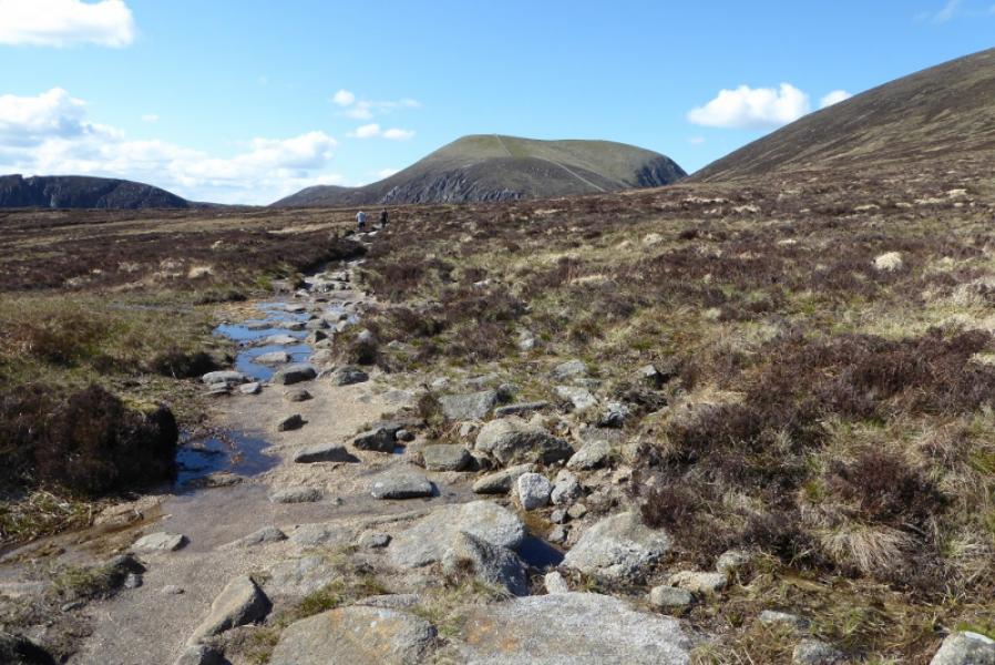
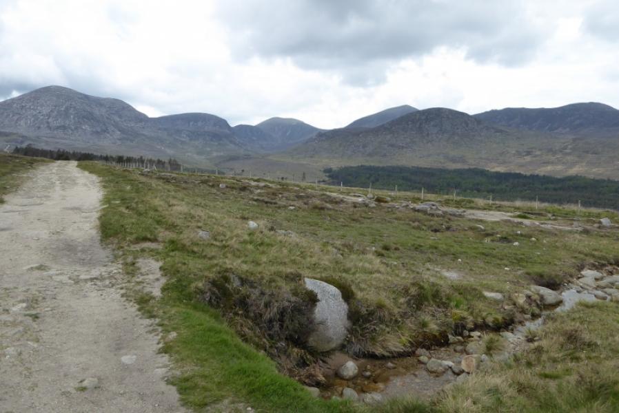
(4) Retrace to the stile on the Mourne Wall. Cross over and follow the path which traverses below Slieve Donard. The path is called the Brandy Pad but don't expect to find any alcohol! Further on, the path splits. Take the right fork which leads to the stile in the col between Slieve Commedagh and Slieve Donard. Cross over and follow the path down to rejoin the outward route just before the forestry. Continue down to the car park. Remember to cross the river at the second bridge and cross back after the third one.
Notes
(a) This walk took place on 11th May, 2019.
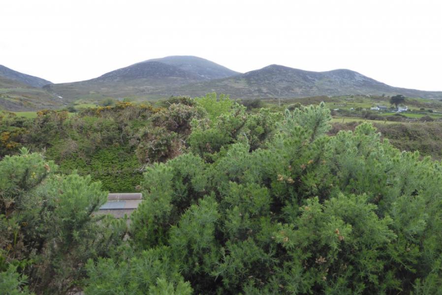
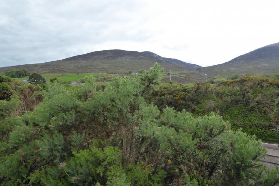
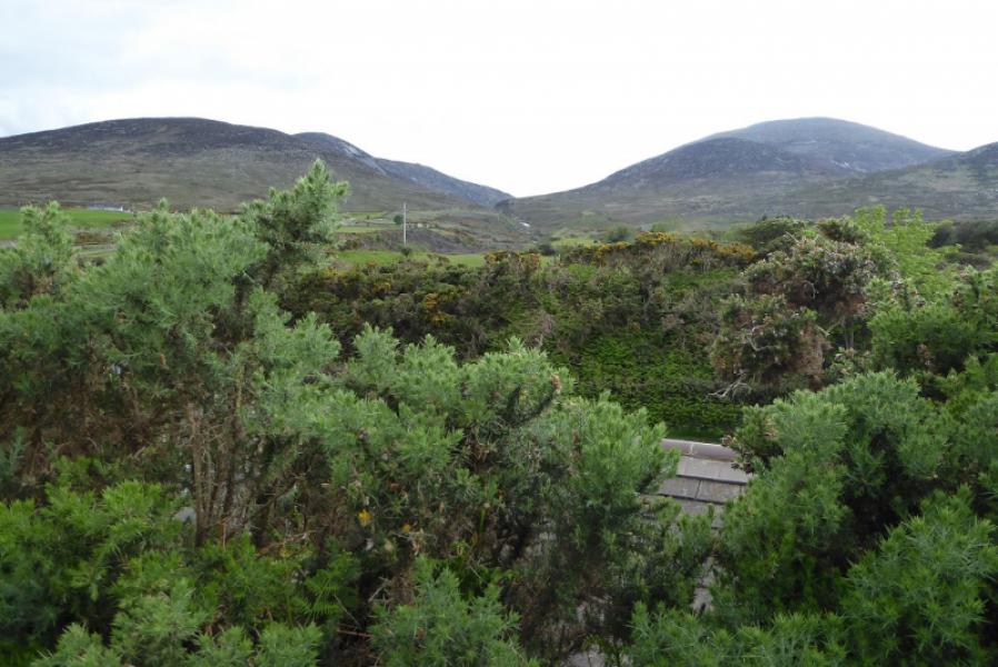
Photos - Hover over photo for caption. Click on to enlarge. Click on again to reduce.