Get Lost Mountaineering
You are here: Ireland » North » Mountains of Mourne
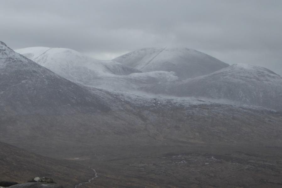
Slieve Muck, Carn Mountain & Slieve Loughshannagh from B27 near Spelga Dam Reservoir
Slieve Muck, Carn Mountain & Slieve Loughshannagh
from B27 near Spelga Dam Reservoir
Start/Finish
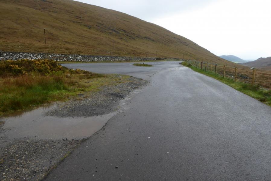
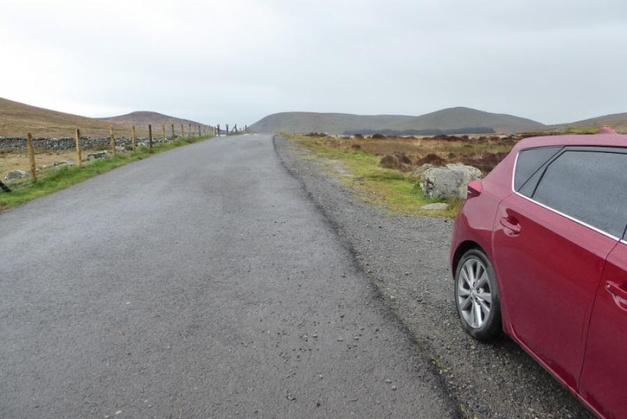
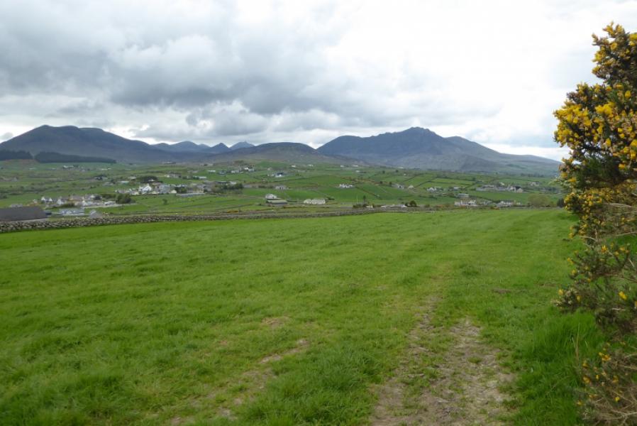
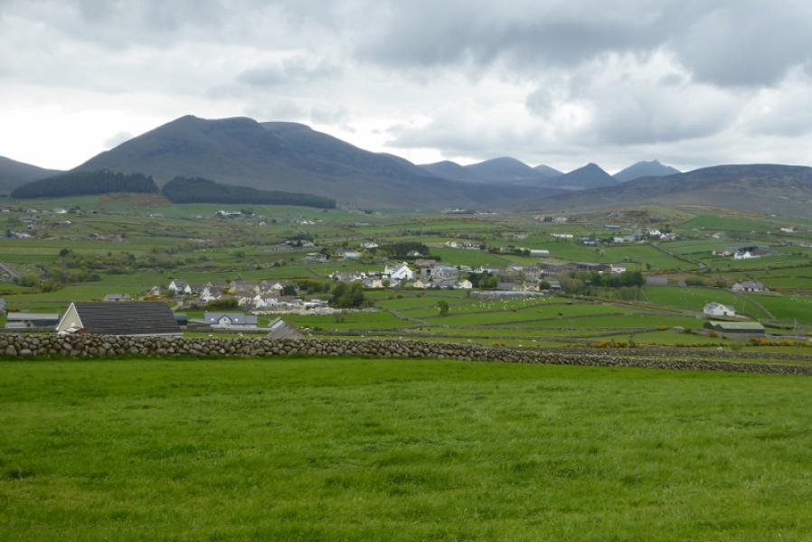
Junction of B27, from Kilkeel to Hilltown, with minor road leading to south end of Spelga Dam Reservoir. This is at J 278 252. There is some verge parking just inside the minor road. There is also a lay by a little further north on the B27.
Distance/Time
8 km. About 4 hours.
Peaks
Slieve Muck, 673 m, J 281 250.
Carn Mountain, 585 m, J 290 260.
Slieve Loughshannagh, 620 m, J 294 272. (Irish National Grid System)
Irish OS Discovery Series Map 29: The Mournes (1:50000)
Harvey Superwalker XT25: Mourne Mountains (1:25000)
OSNI Activity Map: The Mournes (1:25000)
Introduction
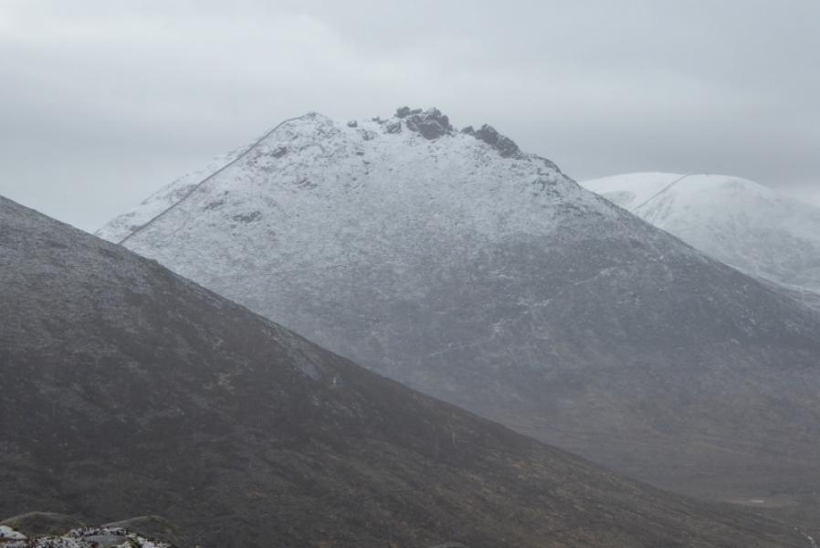
This is a very easy walk to navigate as the Mourne Wall is a good guide between the 3 mountains. A wall leads from the B27 to very close to the summit of Slieve Muck. A distinctive track from the south col of Slieve Loughshannagh can be used to return in bad weather.
Route
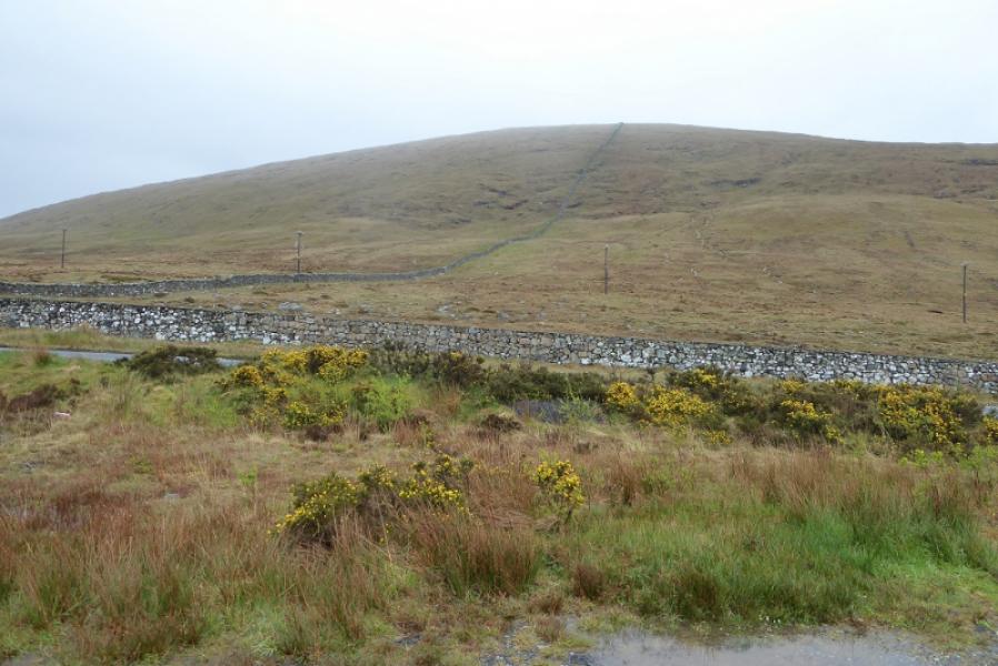
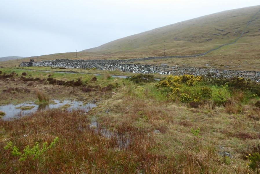
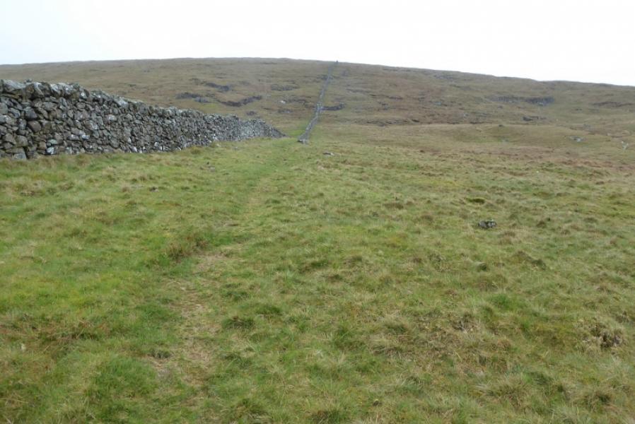
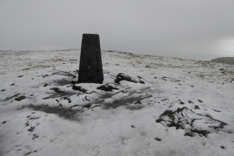
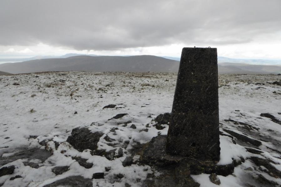
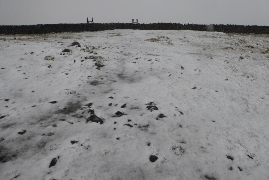
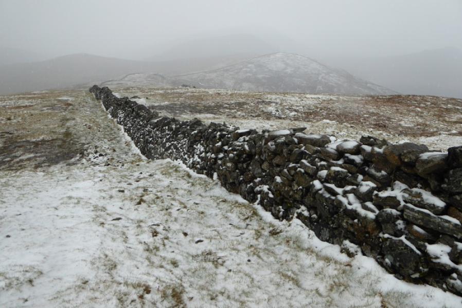
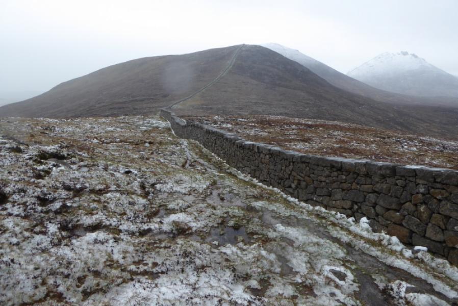
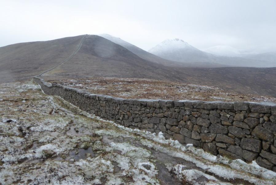
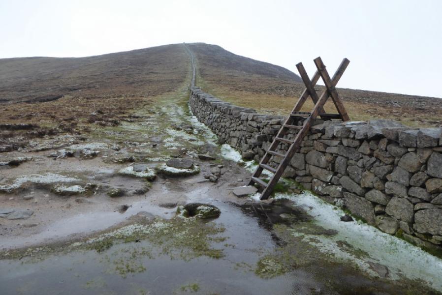
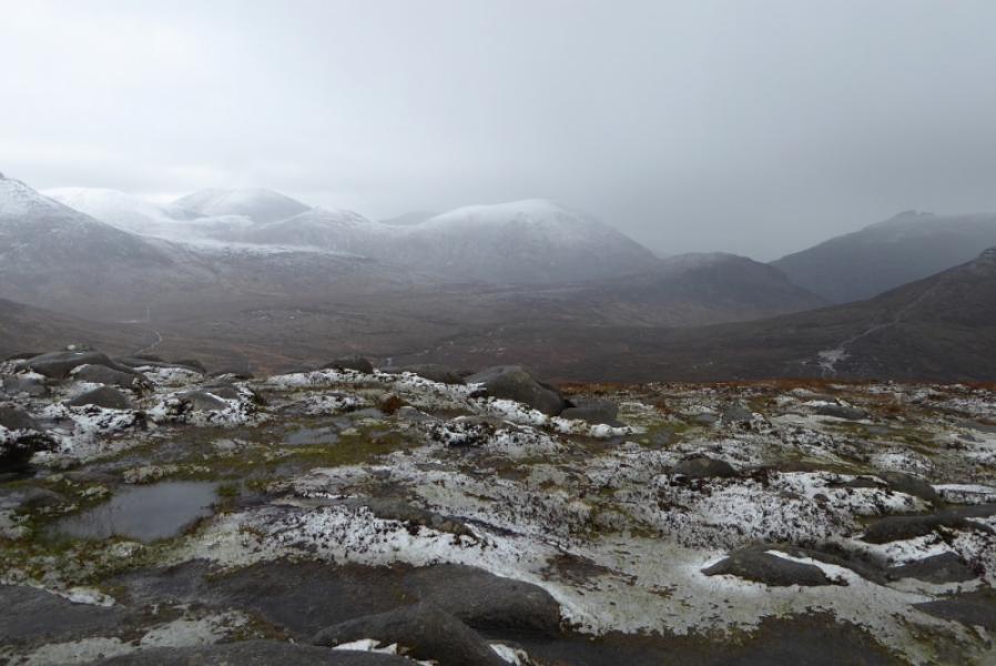
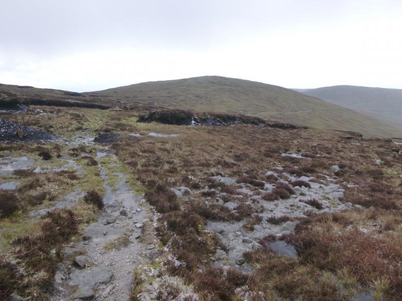
(1) Cross the B27 and go over the obvious stile. Follow the wall up the steep grassy slopes of Slieve Muck. There is a faint path for much of the way. Once the angle eases, the summit is soon reached. A trig point marks the summit of Slieve Muck, 673 m. The wall which has been followed meets the Mourne Wall just past the summit.
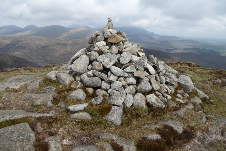
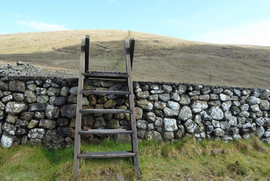
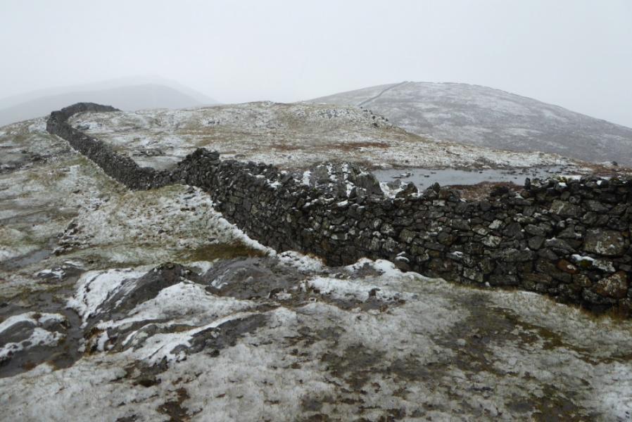
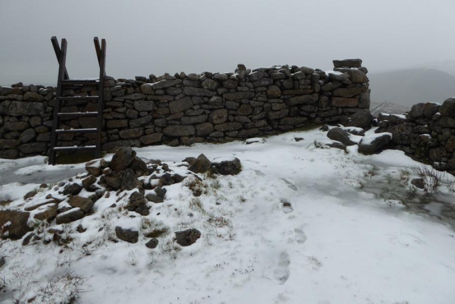
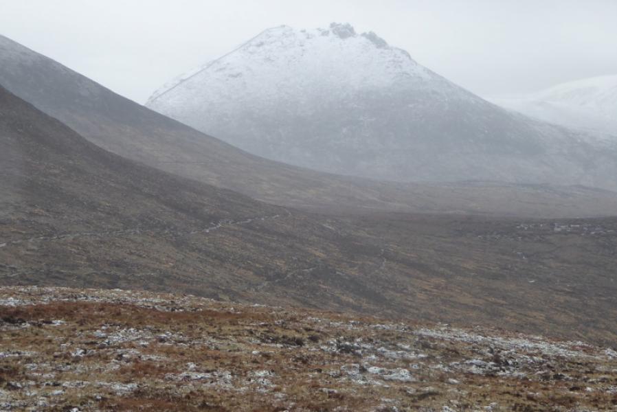
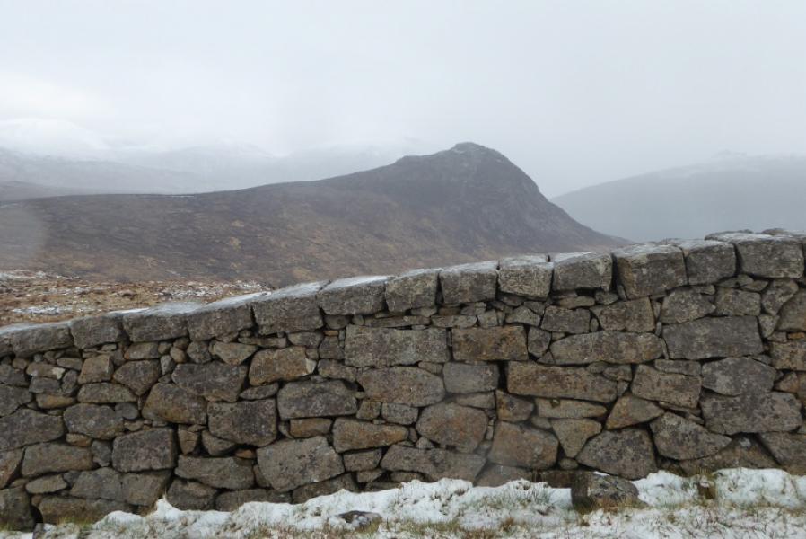
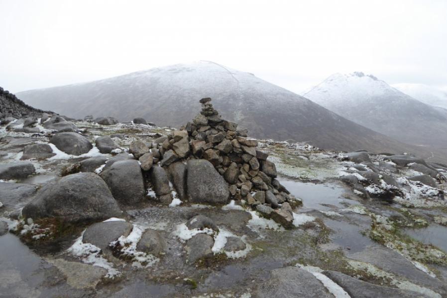
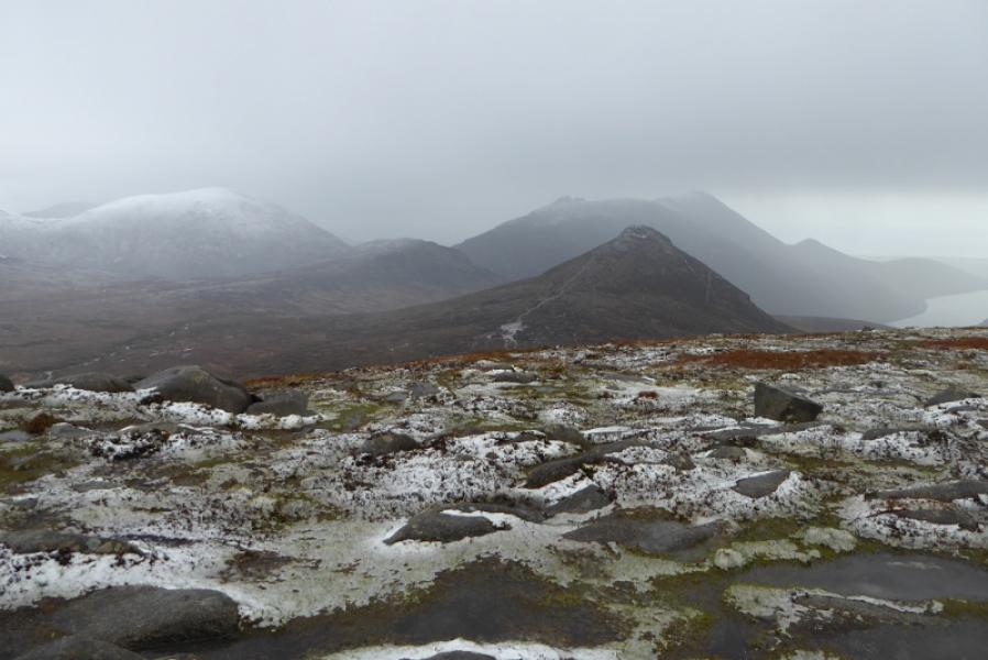
(2) Use the stile to cross the ascent wall but do not cross the Mourne Wall stile. Follow the wall down easy slopes. When the path goes right just before a col, look back to a large granite outcrop where even the Mourne Wall takes a break. After the col, a short ascent E leads to a corner and stile. Go over the stile to the medium cairn which is the summit of Carn Mountain, 585 m.
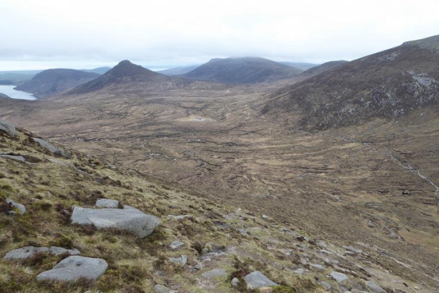
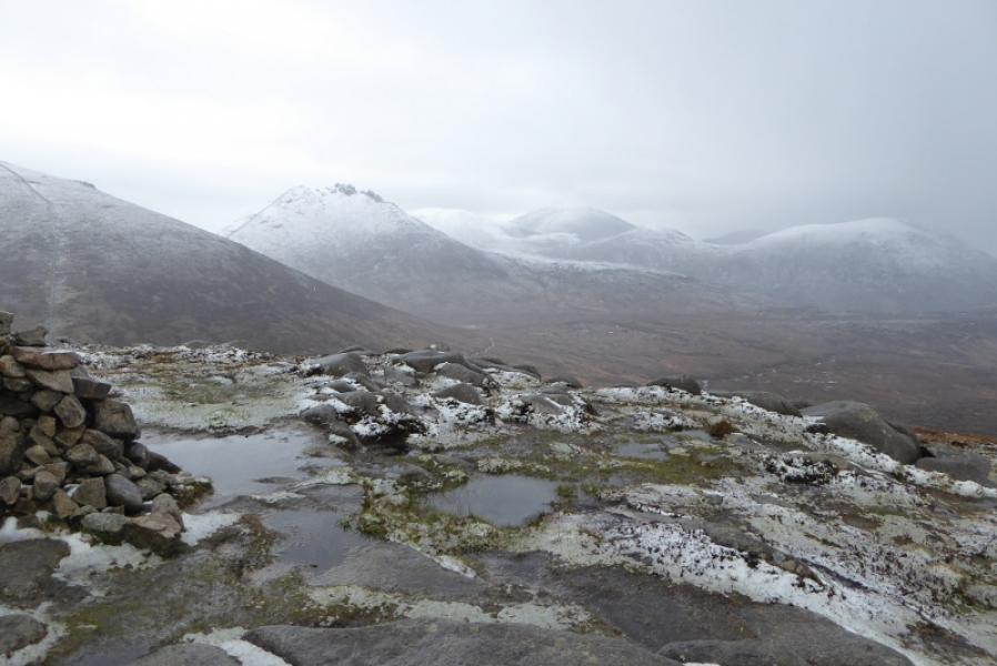
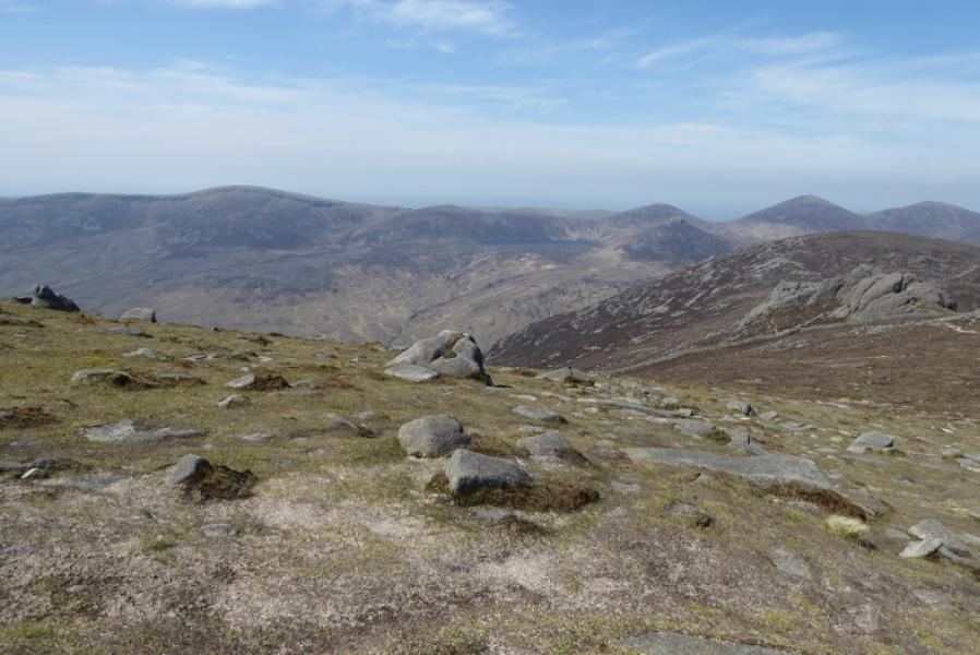
(3) Cross back over the stile and continue following the wall, roughlyNNE, over a very minor top, then down to a col where there is a stile over the Mourne Wall. Cross over (there is no stile on the summit to reach the cairn) and follow the wall up to reach a medium cairn which is the summit of Slieve Loughshannagh, 620 m.
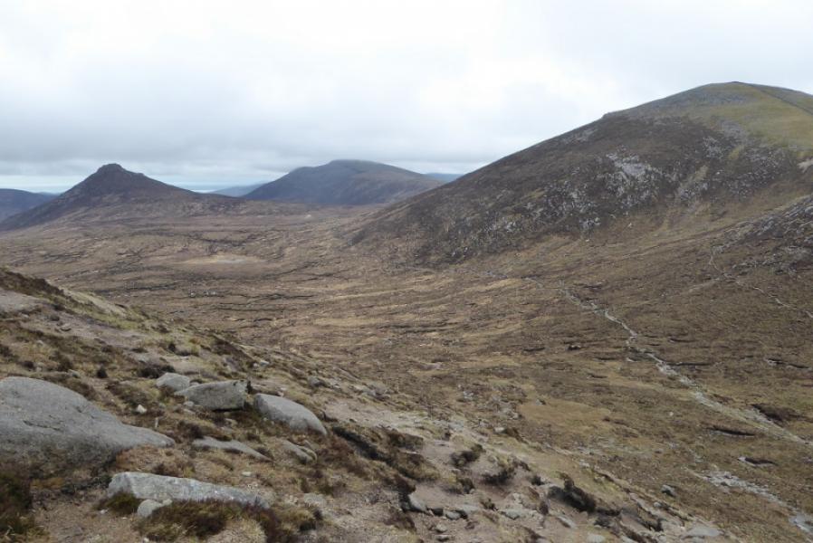
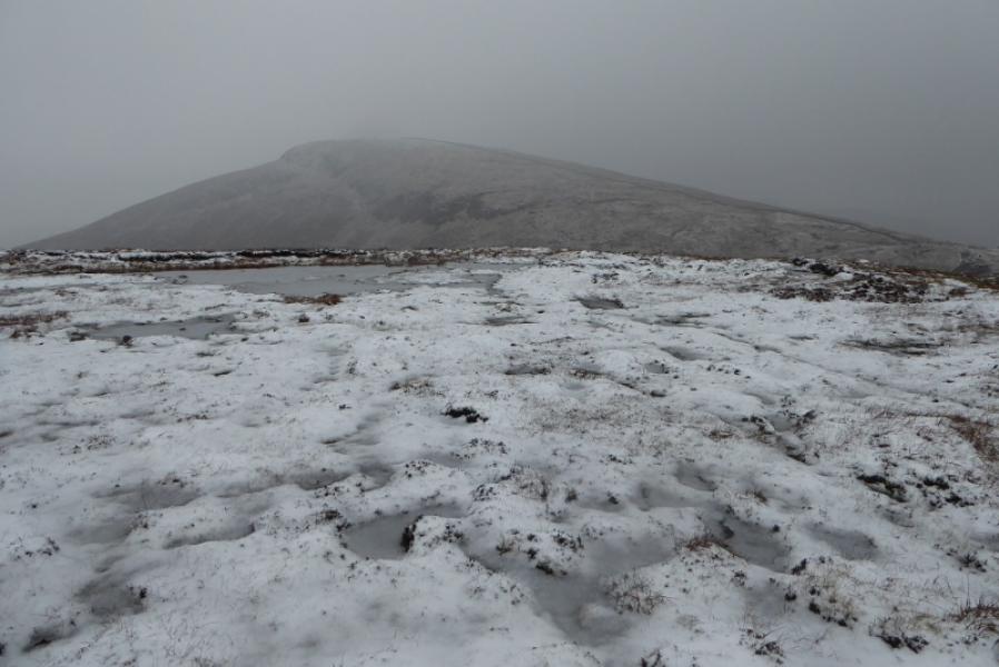
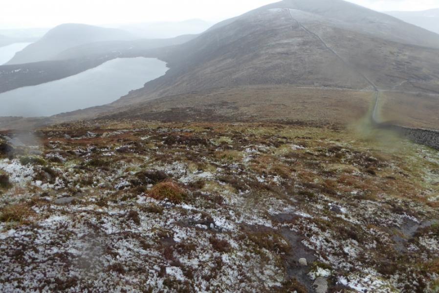
(4) Retrace down to the stile in the col and cross back over the Mourne Wall. An obvious path heads roughly W. This is the easiest way to navigate down to a road if the weather is bad leaving a 3 km walk back to the start. This route leaves this path after about 10 m to follow a very rough path which heads across some rough, often wet ground to cross the ridge between Carn Mountain and Ott Mountain then picks its way down, roughly WSW, to the road about 1.2 km from the start. A barbed wire fence has to be crossed to access the road. To avoid this, aim to meet the road further to the N where there is a gate.
Notes
(a) This walk took place on 10th May, 2019.
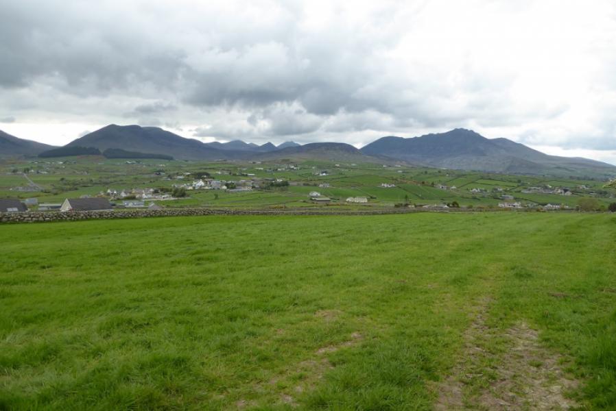
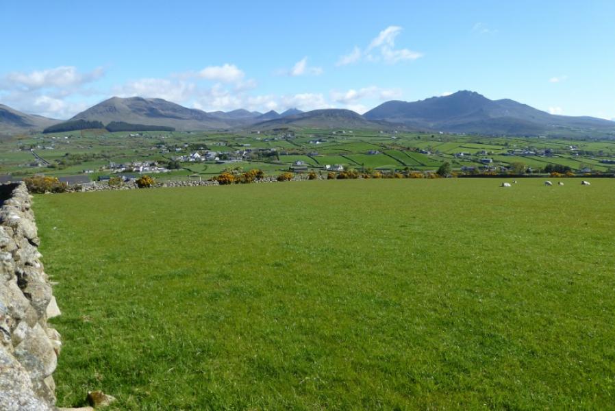
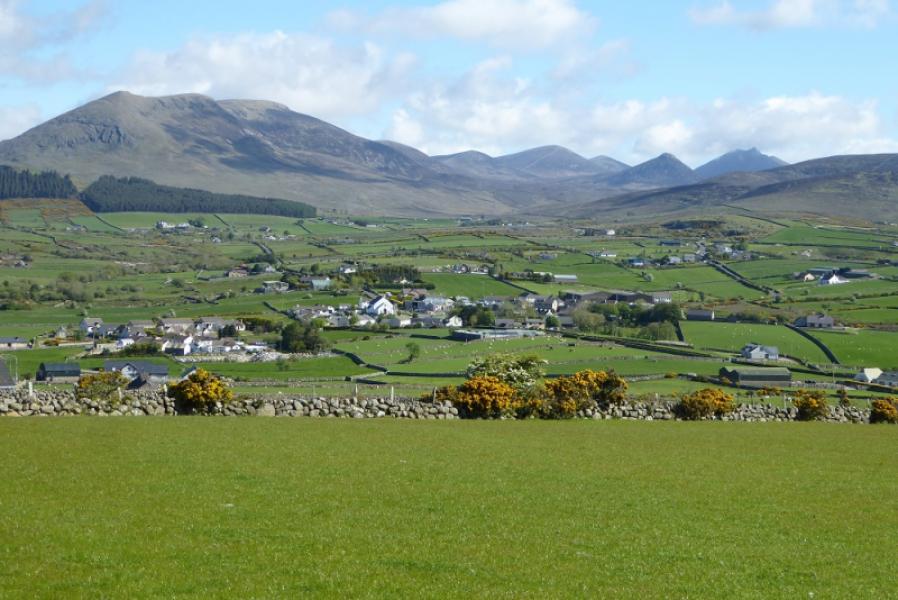
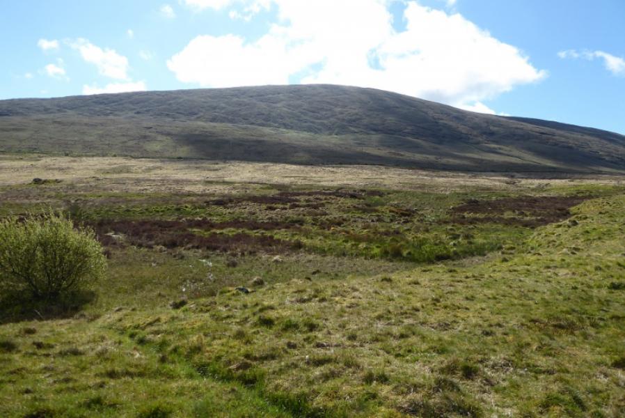
Photos - Hover over photo for caption. Click on to enlarge. Click on again to reduce.