Get Lost Mountaineering
You are here: Ireland » North » Mountains of Mourne
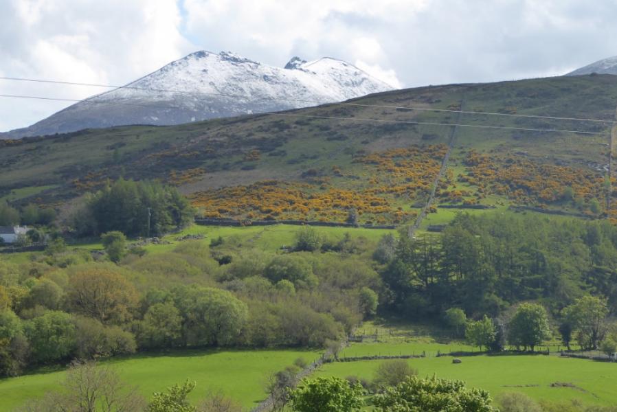
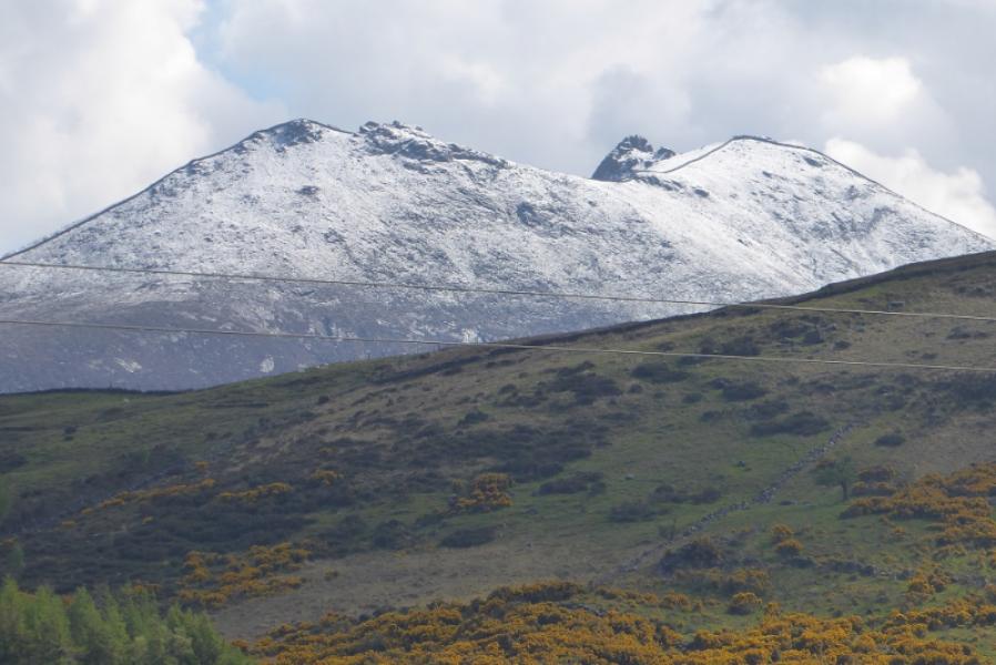
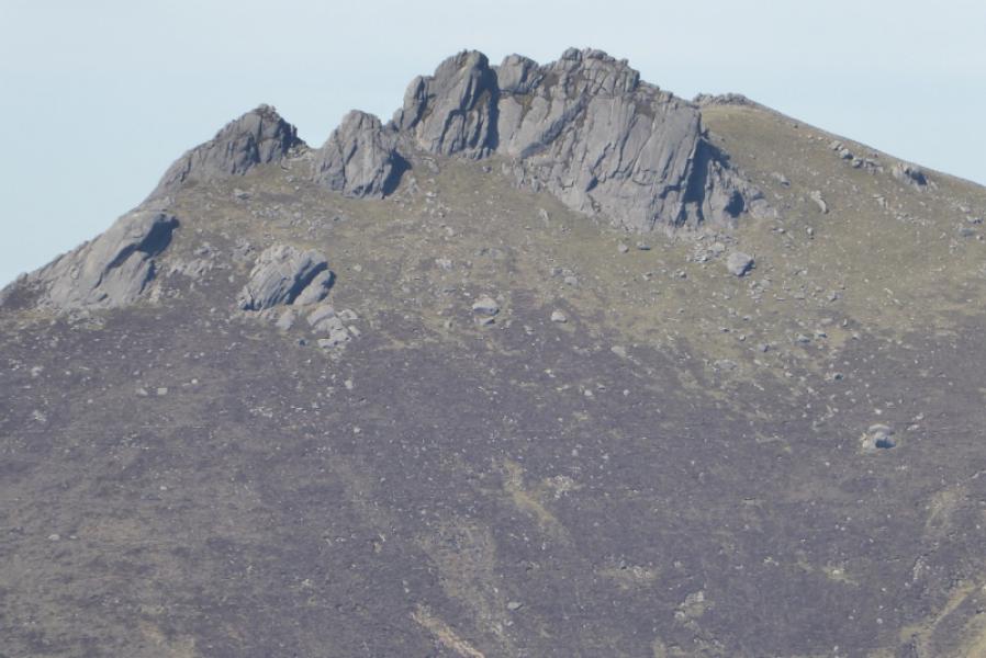
Slieve Meelbeg, Slieve Meelmore & Slieve Bearnagh from NW
Slieve Meelbeg, Slieve Meelmore & Slieve Bearnagh from NW
Start/Finish
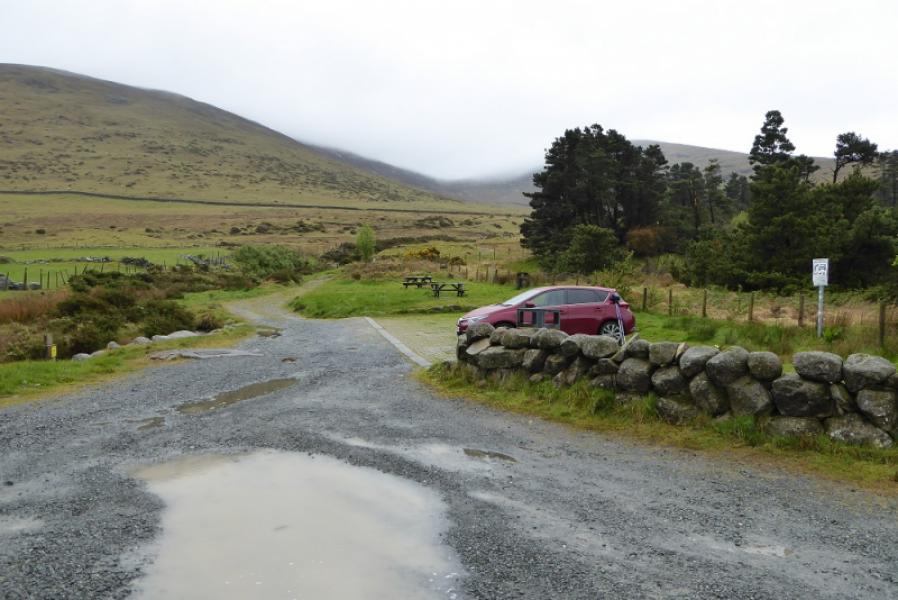
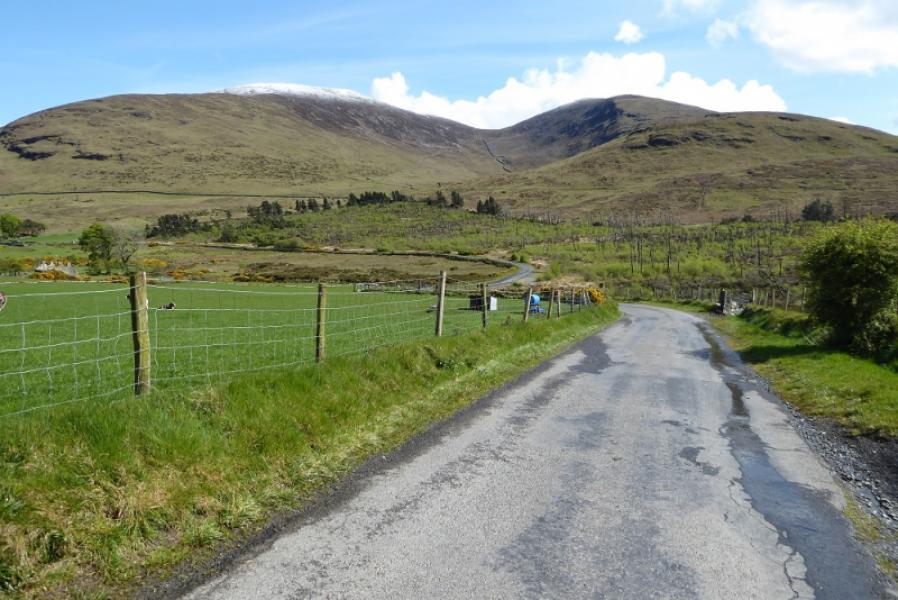
Car park/picnic area at J 293 297. This is on the minor road from Fofanny Dam to Meelmore Lodge. There is parking for a few cars so may fill up quickly at busy times.
Distance/Time
7 km About 5 hours
Peaks
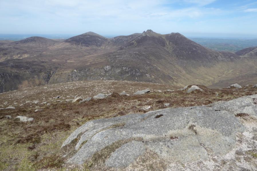
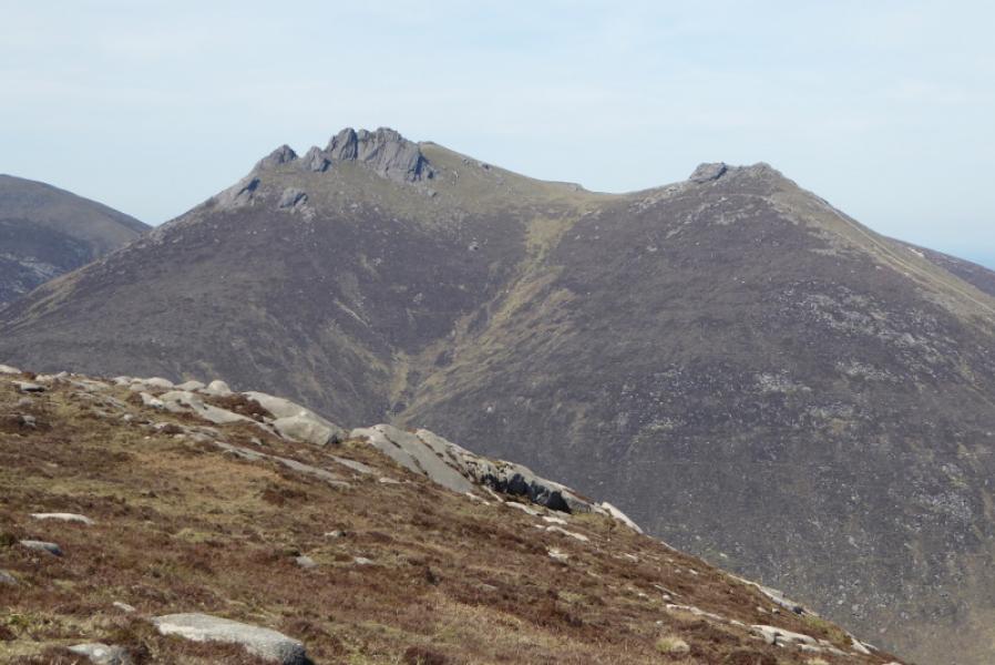
Slieve Meelbeg, 708 m, J 300 279.
Slieve Meelmore, 688 m, J 306 287.
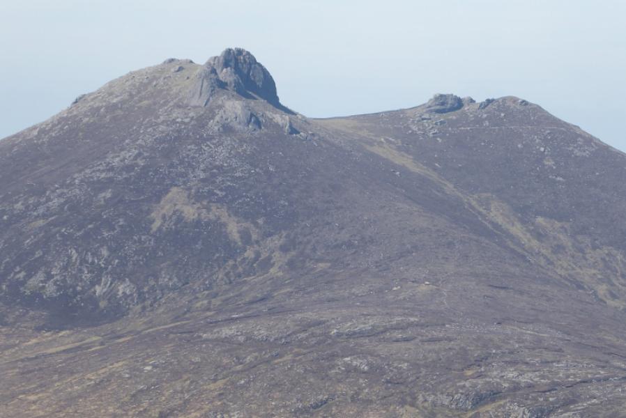
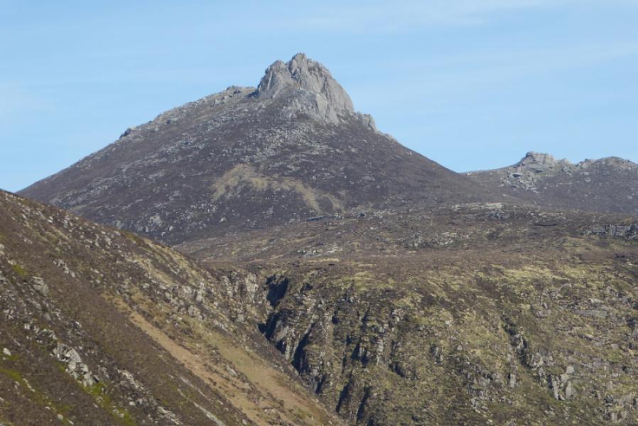
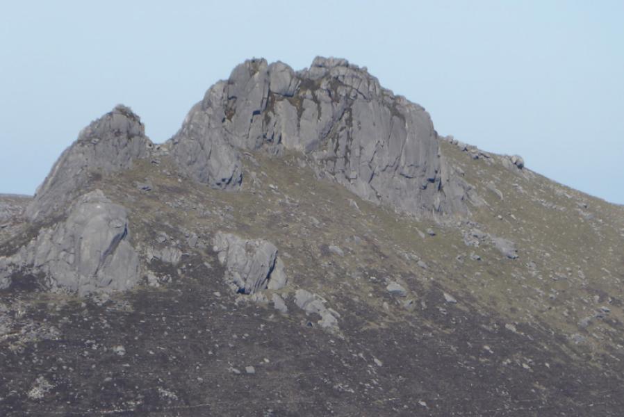
Slieve Bearnagh, 739 m, J 313 280. (Irish National Grid System)
Irish OS Discovery Series Map 29: The Mournes (1:50000)
Harvey Superwalker XT25: Mourne Mountains (1:25000)
OSNI Activity Map: The Mournes (1:25000)
Introduction
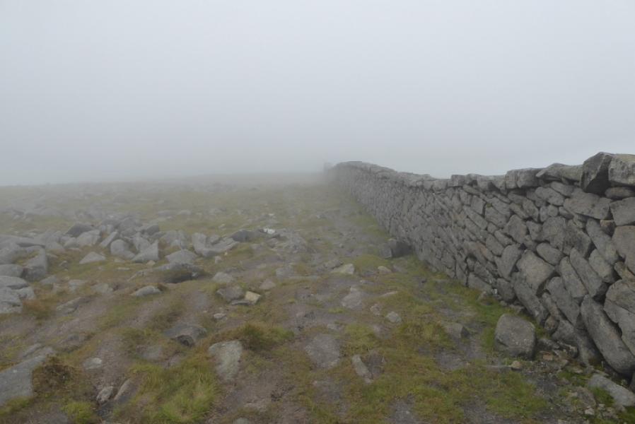
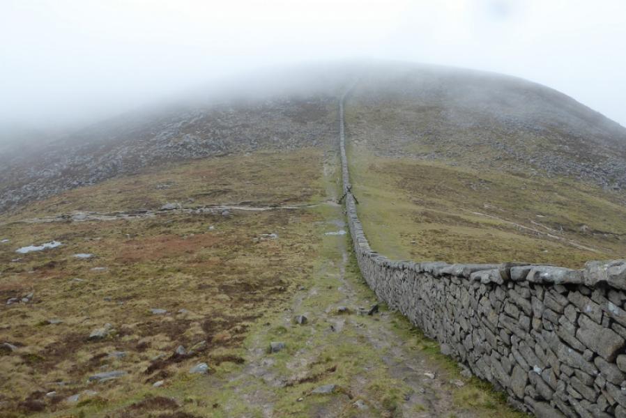
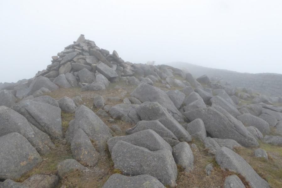
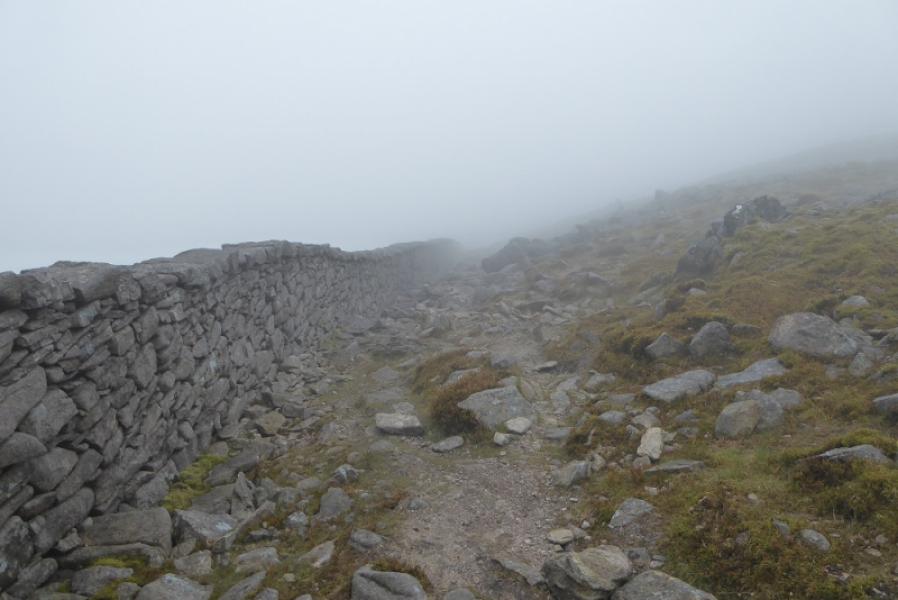
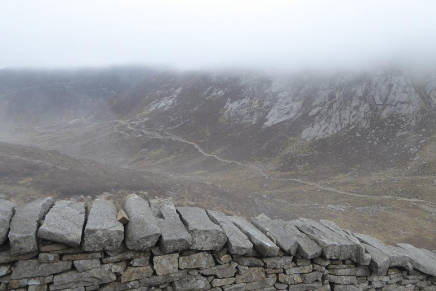
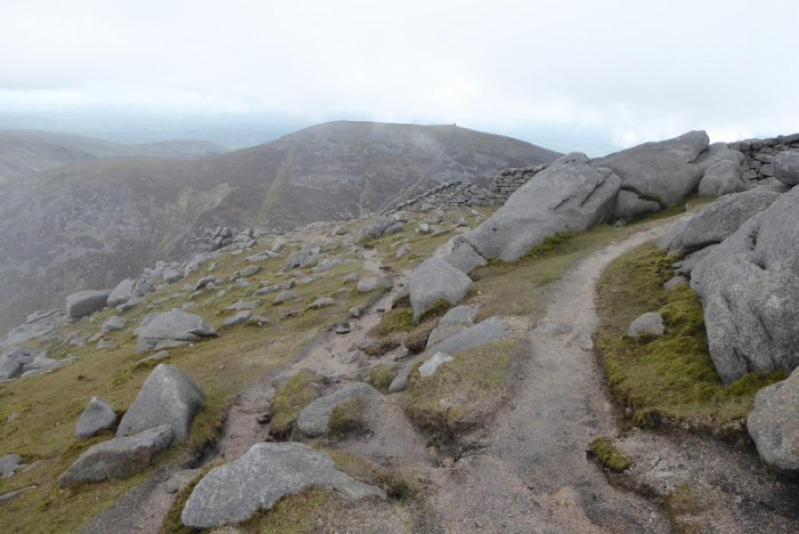
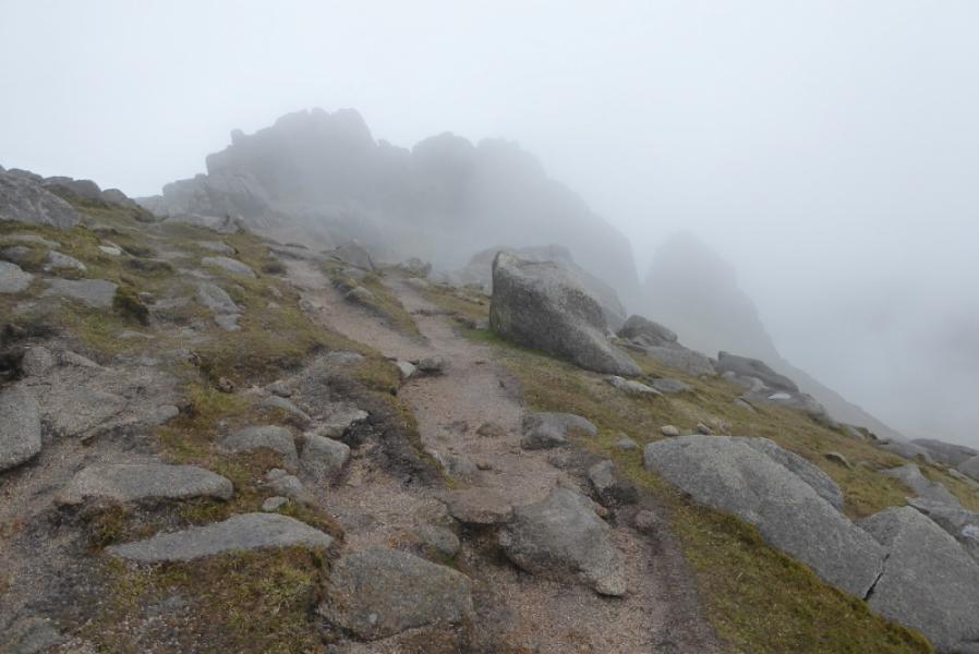
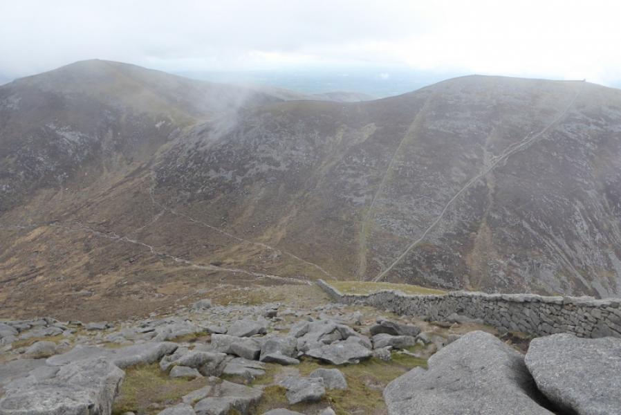
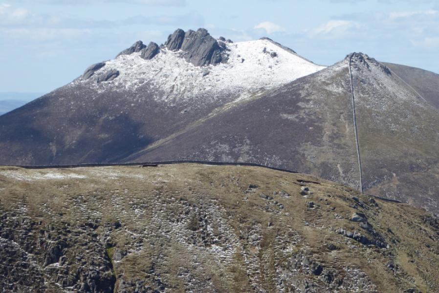
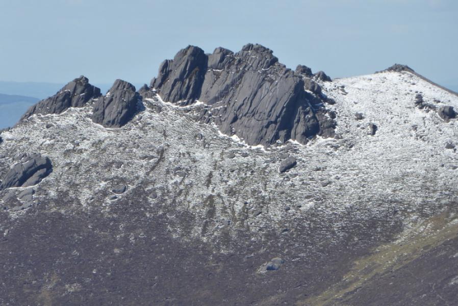
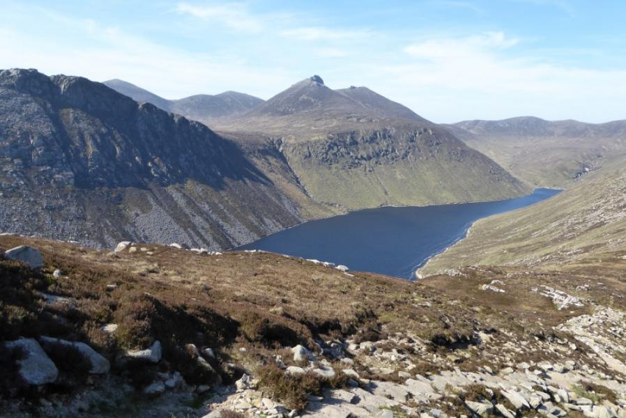
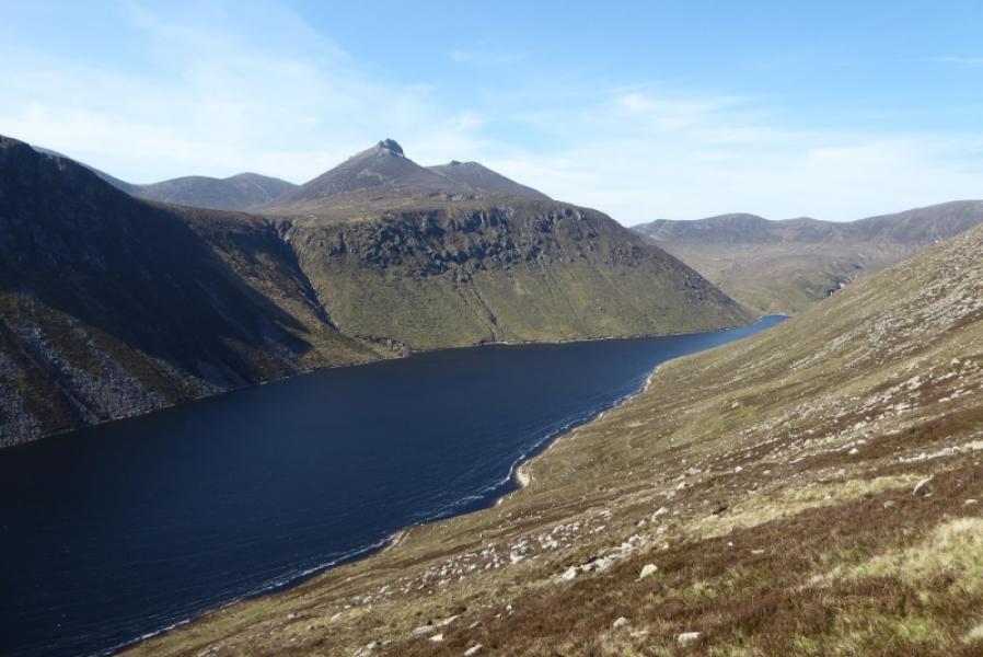
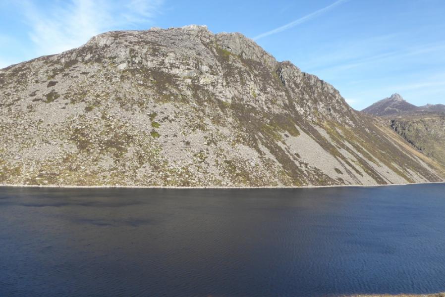
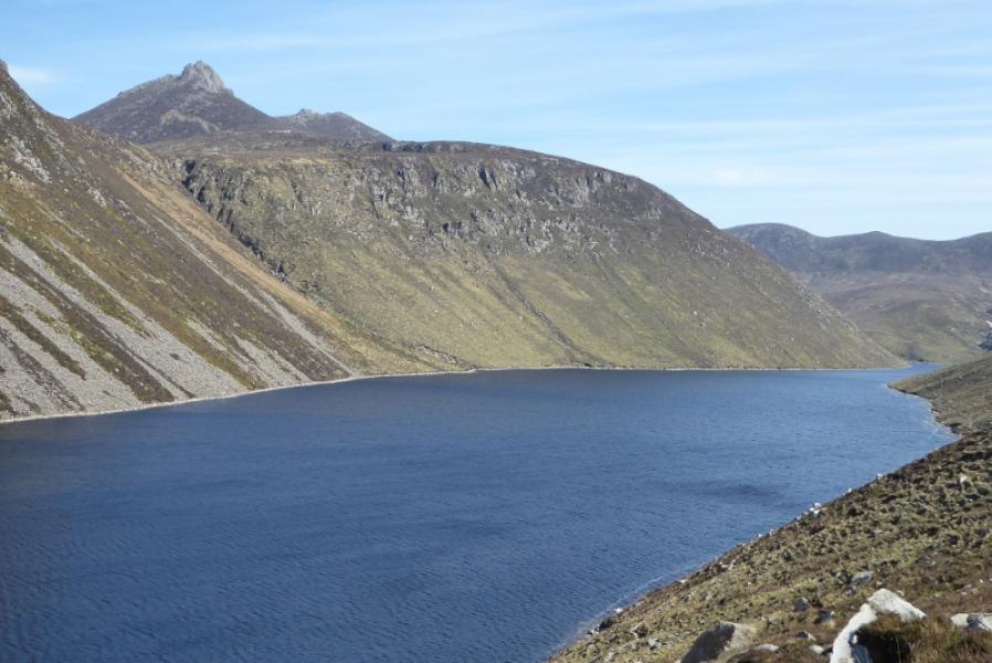
This is a fairly easy walk to navigate as the Mourne Wall is a good guide between the 3 mountains. The wall passes close to the summits of both Slieve Meelbeg and Slieve Meelmore. The summit of Slieve Bearnagh seems to be the highest of several to the SE of the highest point of the Mourne Wall. The NW tor, left, tor seems to be the highest. It isn't easy to reach the top of this tor and scrambling experience will be needed. In clear weather, there are excellent views in all directions. Despite the Mourne Wall helping considerably with navigation, the ground is very rough and rocky in places not to mention steep. This particularly applies to the section from Slieve Meelmore tower to the top of Slieve Bearnagh and makes for very slow going.
Route
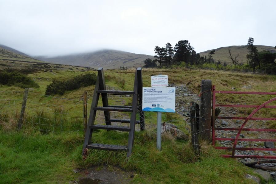
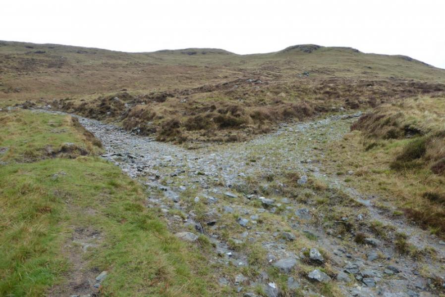
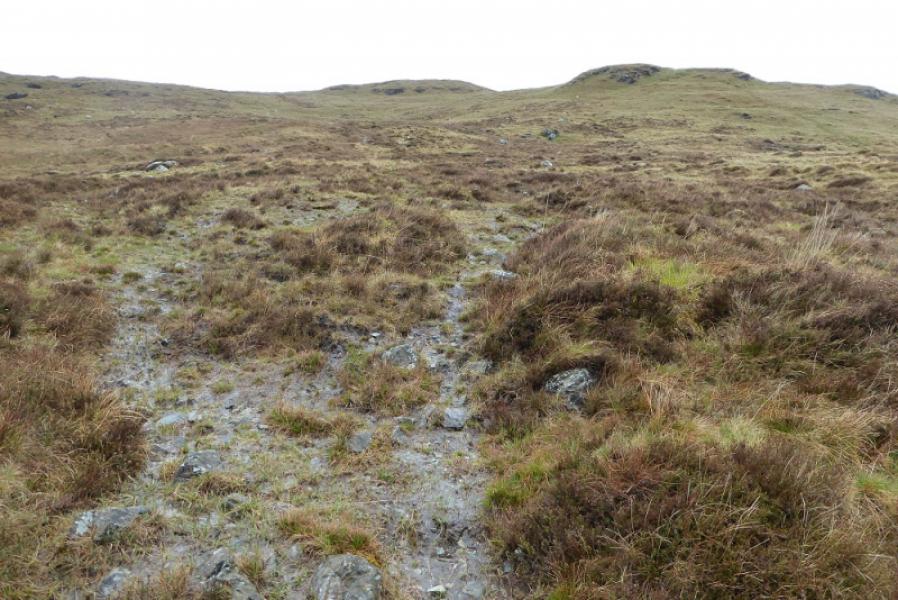
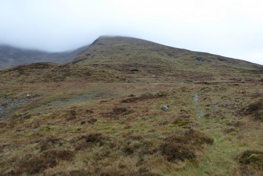
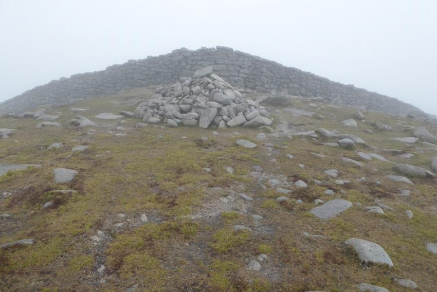
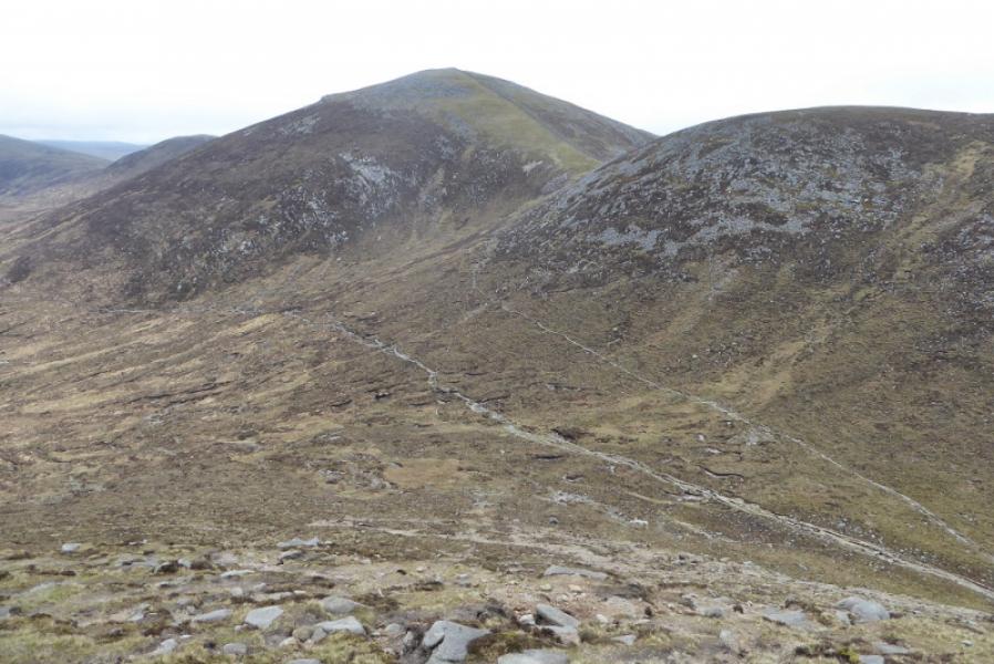
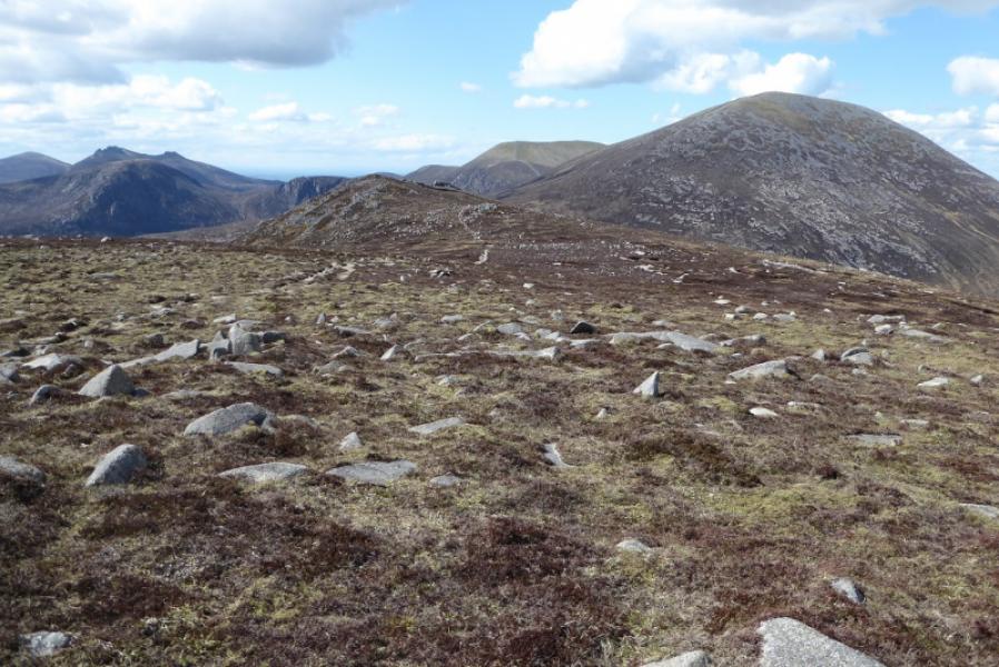
(1) Walk S out of the back of the car park and follow a track not far from a stream. Cross a stile then continue. Ignore a grassy track going right which is the Ulster Way. Soon after, the gravel track splits. Take the right fork then, in about 20 m, a path goes off left. Follow this, wet and boggy in places; it leads up onto the ridge leading SE to Meelbeg. Follow the ridge up on a path which is reasonably easy to follow. Eventually, reach a large cairn which is the summit of Slieve Meelbeg, 708 m. Just beyond the cairn is the very obvious Mourne Wall.
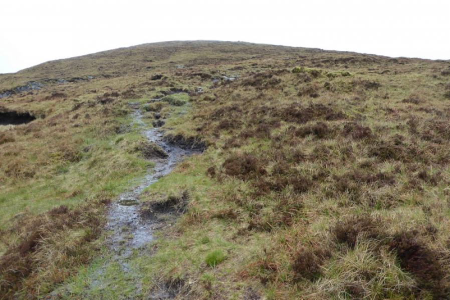
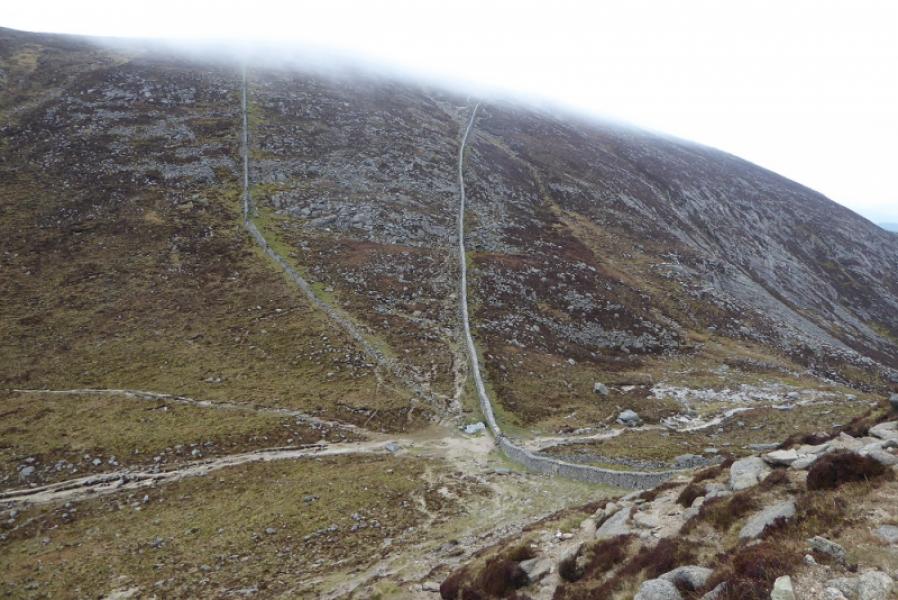
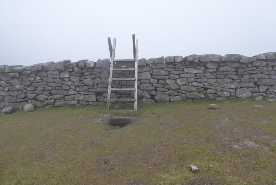
(2) Follow the Mourne Wall down to the NE and reach a col with a stile. Do not cross the wall but continue up on the same side on stony but easy ground. Cross a side wall (seems to have fallen down). Soon after, reach a large cairn just off to the left, this is the summit of Slieve Meelmore, 688 m.
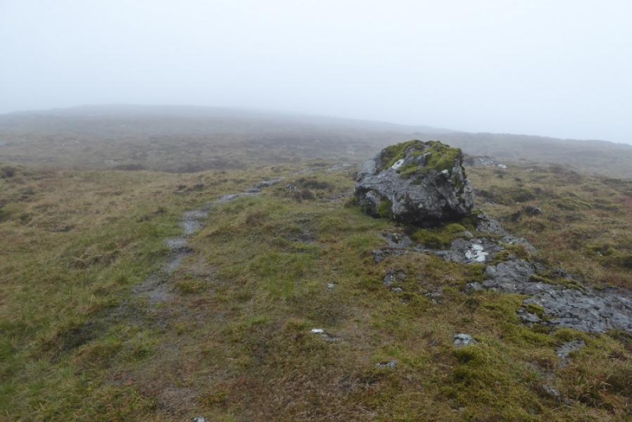
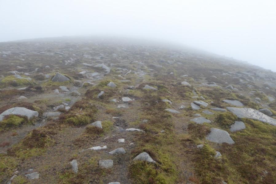
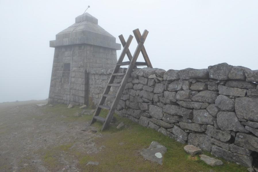
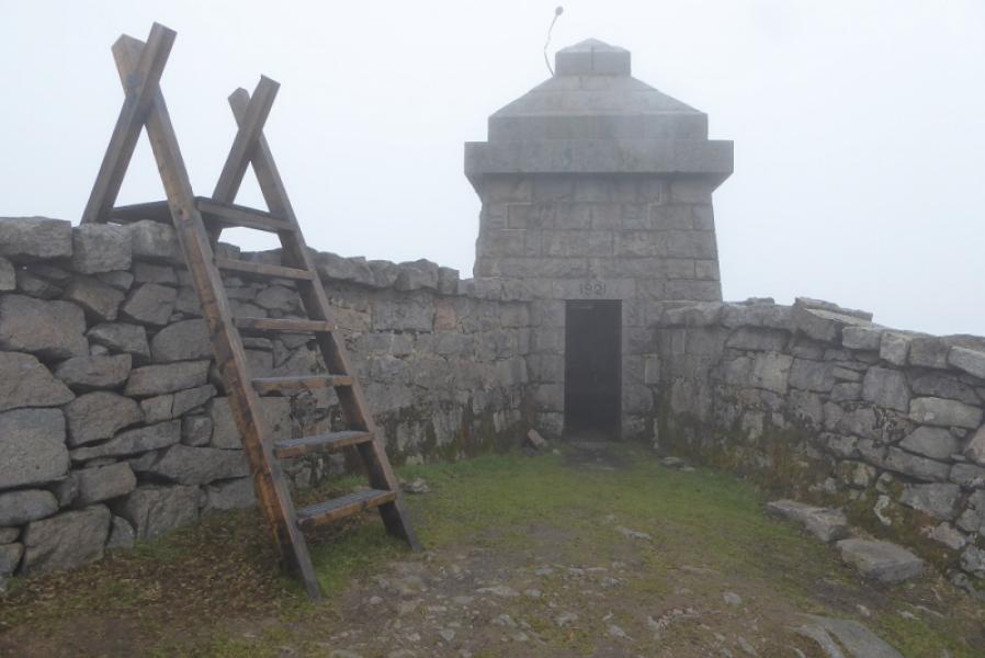
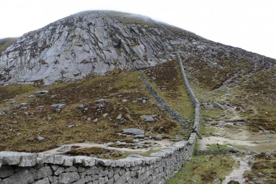
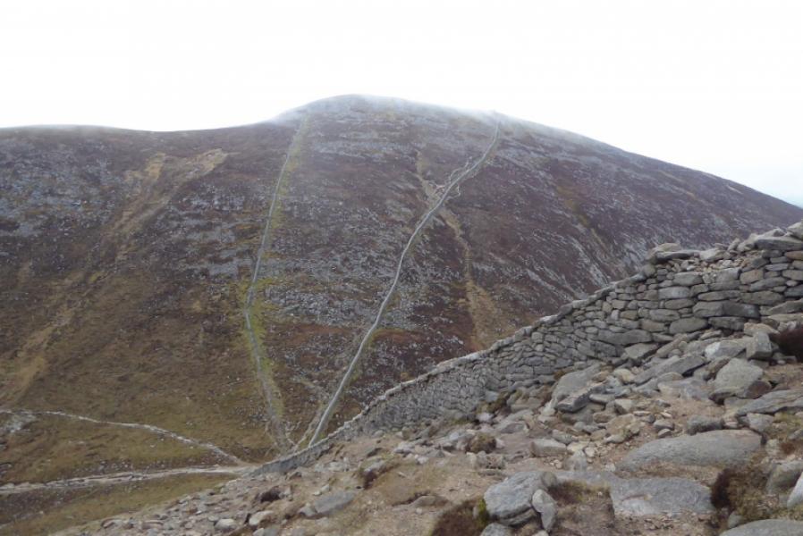
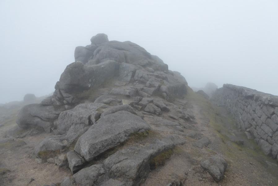
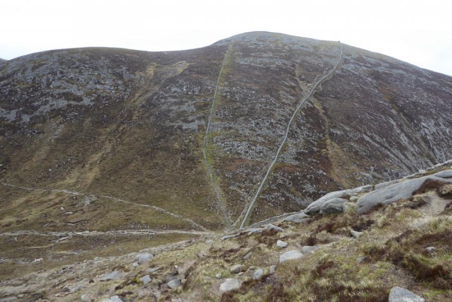
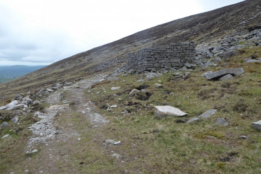
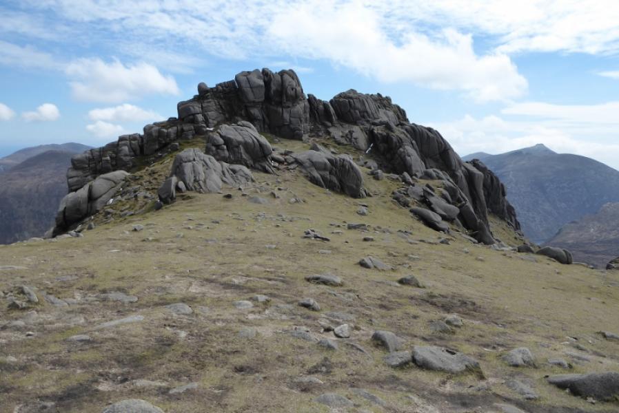
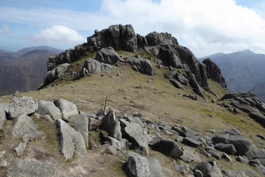
(3) Continue and reach a corner in the wall after about 300 m. A tower has been built into this corner and offers some shelter. Cross the stile here then continue down a very stony path (slow going) with the Mourne Wall on your left. Reach a col with a stile but do not cross the Mourne Wall. Continue ahead and up. There are numerous paths which drift right to avoid the slabs. Don't go too far right and try to keep reasonably close to the wall on quite a steep slope. When the angle eases, soon reach the highest point on the Mourne Wall. There is an easy tor here. There are some significant tors roughly SSE from here. The highest and therefore the summit seems to be the one nearest to the wall. Walk over the easy grassy plateau and find a path going below the tor. It crosses an easy angled slab then cuts back left up an easy, short groove to put one on the other side of the rocky crest. A path then goes left to the bottom of a short groove. Gain a small grassy platform on the left. A longer groove goes ahead from here but don't attempt it. Instead go through the narrow gap, like a crevice, on the right which is awkward but not too difficult if dry. Once through this, work your way around to the left and cautiously gain the highest point which is the summit of Slieve Bearnagh, 739 m.
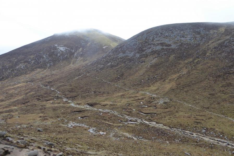
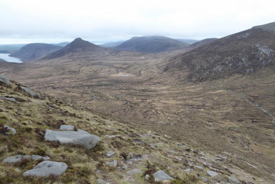
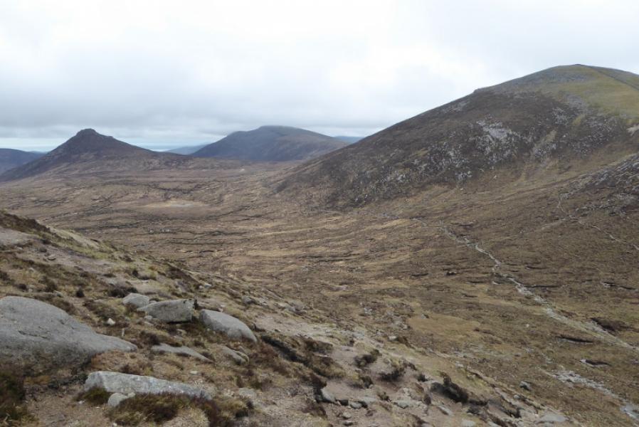
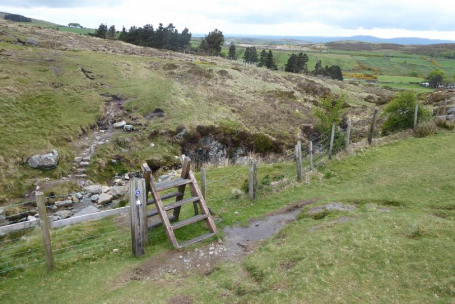
(4) Retrace back to the Mourne Wall then back down to the col with the stile. Two paths go left. Take the minor one to the right of the other. Follow this below Slieve Meelmore then up slightly into the col between Slieve Meelbeg and Slieve Meelmore on a path which can be faint and boggy in places. Cross the stile over the Mourne Wall in the col and follow the path down between Slieve Meelbeg and Slieve Meelmore. Pass an old ruin. Lower down the best way is to follow a path to the left of a very rough track. Continue down and join the Ulster Way just before it crosses a stream by steps and stepping stones. Once across, rejoin the outward track and follow it back to the car park.
Notes
(a) This walk took place on 9th May, 2019.
Photos - Hover over photo for caption. Click on to enlarge. Click on again to reduce.