Get Lost Mountaineering
You are here: Ireland » North » Donegal to Sligo
Truskmore & Tievebaun Mountain via aerial access road
Truskmore & Tievebaun Mountain via aerial access road
Start/Finish
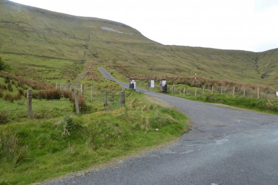
Near to gates at foot of private access road to aerial on Truskmore summit. This is at G 744 467. The simplest route to the start is to leave the N15 road from Bundoran to Cliffony at the crossroads (close to Creevykeel car park) about a mile north east of Cliffony. Follow this road going across any crossroads to reach the gates in about 6 miles from the N15.The only parking is on the verge and that is limited. Do not obstruct the gates as they are used 24/7. The gates are usually locked. If unlocked, do not be tempted to drive up the private road as you may find yourself locked in!
Distance/Time
10 km. About 4 hours.
Peaks
Truskmore, 647 m, G 759 473
Tievebaun Mountain, 611 m, G 768 498 (Irish National Grid System)
Irish OS Discovery Series Map 16 (1:50000)
Introduction
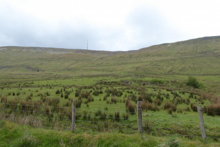
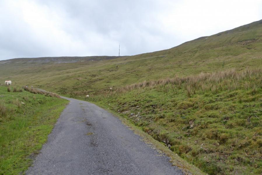
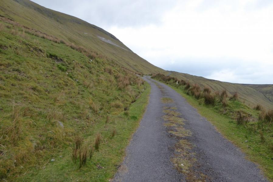
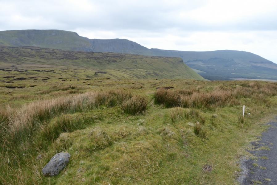
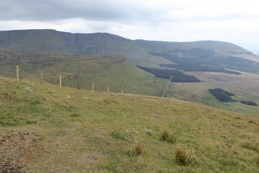
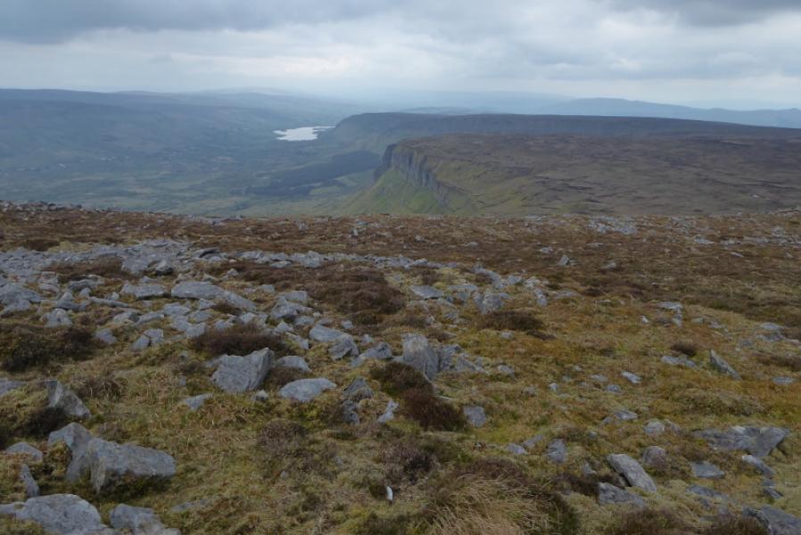
This is a fairly easy walk to navigate as there is a tarmac road to the summit of Truskmore then, after descending the north flank, a wall, grassy groove, another wall then a fence lead close to the summit of Tievebaun Mountain. The locked gate has to be climbed over but this should not be a problem. On a clear day, there are excellent views to the coast and the mountains of Donegal in the distance.
Route
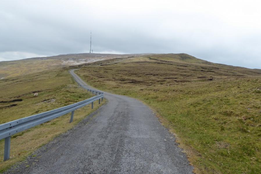
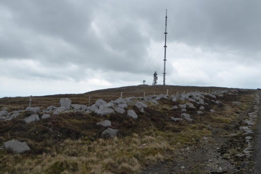
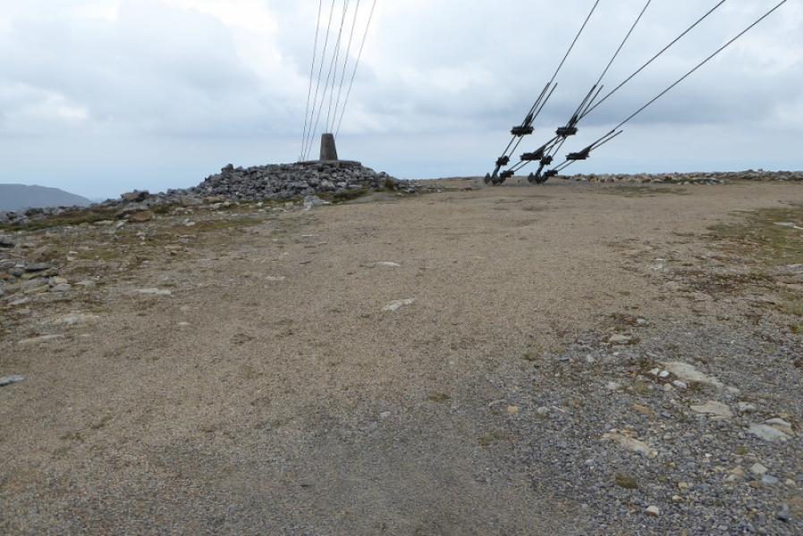
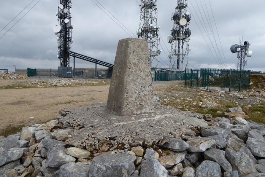
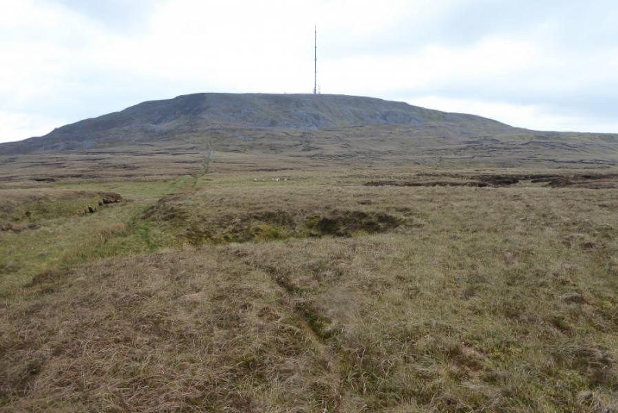
(1) Climb over the locked gates then walk up the tarmac road to reach the large aerial. Go left, towards the telecom aerials. Pass a low mound and reach the trig point which marks the summit of Truskmore, 647 m.
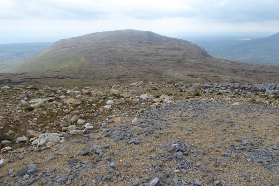
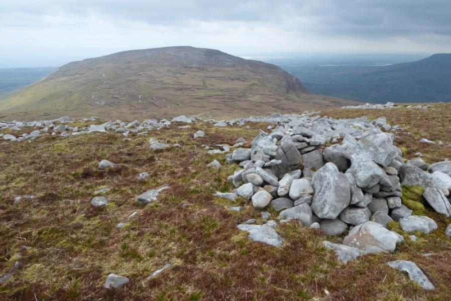
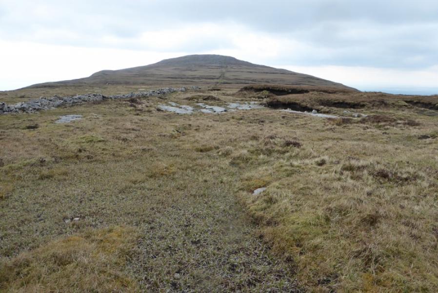
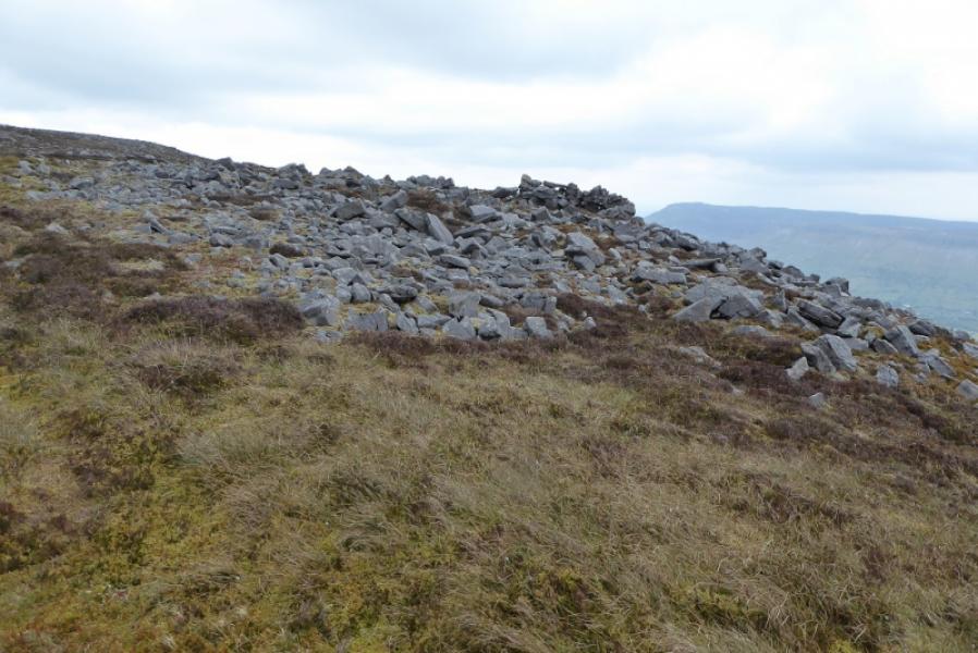
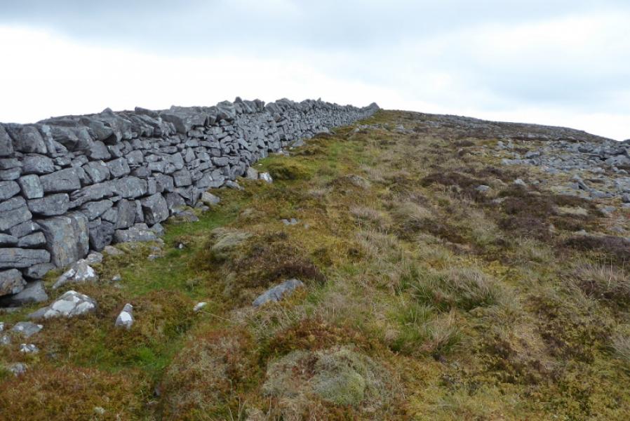
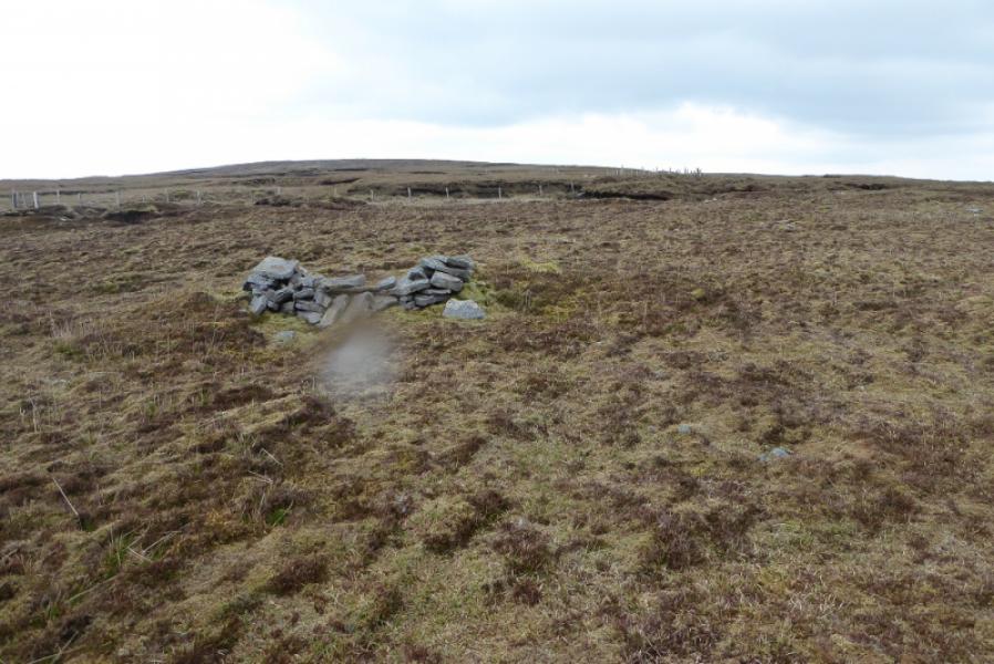
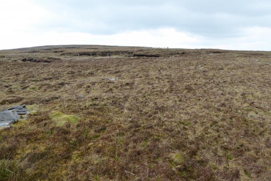
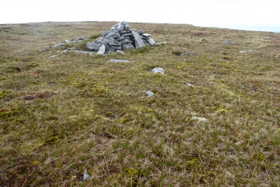
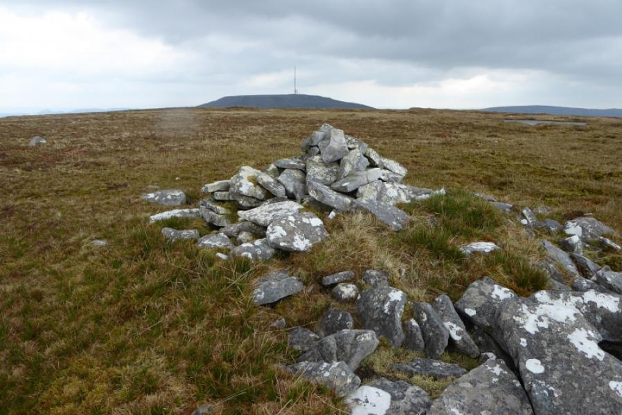
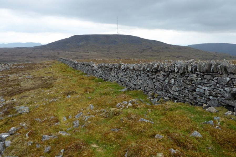
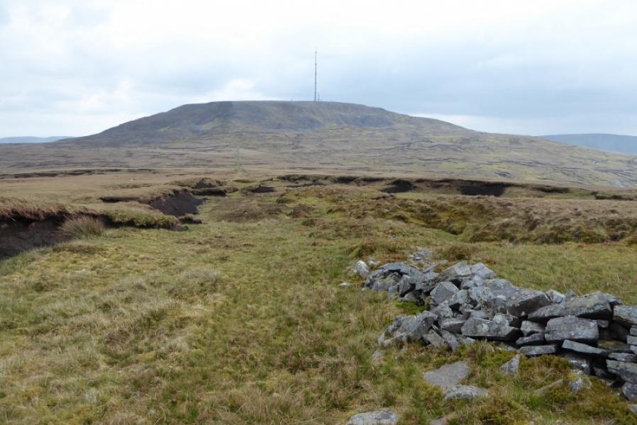
(2) Walk around the fenced enclosure and head E along the plateau to soon reach a cairn. Start descending to the N here. The slope is moderately steep and strewn with boulders, most of which are avoidable. If clear, aim for a wall on the direct line between the two mountains. Follow the broken wall until it soon runs out then continue following a grassy groove which may be the remains of an old ditch. A better and longer wall soon leads N up the S ridge of Tievebaun Mountain. An old shelter cairn may be seen off to the right. Follow the wall until it turns left and a fence continues up the ridge. There is a cairn about here. Follow the fence until it starts to descend at a corner. The summit is off to the right, E, from here and is soon reached. A medium cairn marks the summit of Tievebaun Mountain, 611 m. The cairn is probably at the highest point but it is hard to tell on the flat and featureless summit plateau.
(3) Retrace the outward route back to Truskmore then down the private road.
Notes
(a) This walk took place on 8th May, 2019.
Photos - Hover over photo for caption. Click on to enlarge. Click on again to reduce.