Get Lost Mountaineering
You are here: Ireland » North » Mountains of Mourne
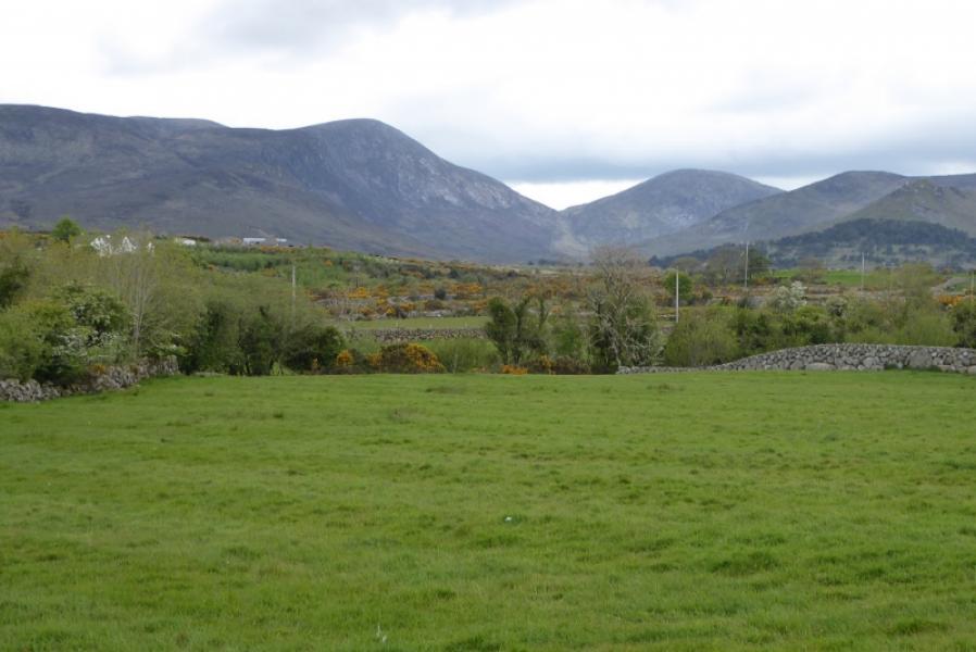
Eagle Mountain & Shanlieve from the South
Eagle Mountain & Shanlieve from the South
Start/Finish
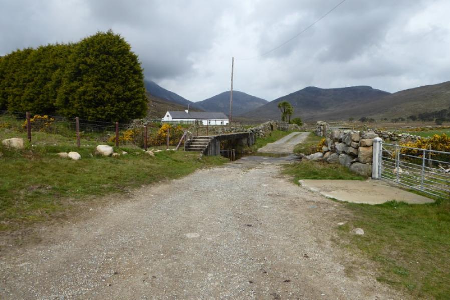
End of the road/track from the (Irish) football ground. This road starts about 1.3 km to the W of Attical at J 270 190. The road gradually turns to a track which is safe to drive at slow speed (on 7/5/19). Park near a large barn just before a footbridge over a ford, There is plenty of space.
Distance/Time
10 km About 4 hours
Peaks
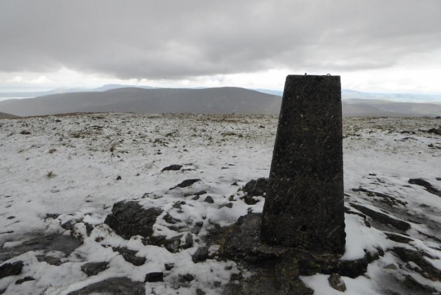
Eagle Mountain, 638 m, J 244 229
Shanlieve, 627 m, J 240 226 (Irish National Grid System
Irish OS Discovery Series Map 29: The Mournes (1:50000)
Harvey Superwalker XT25: Mourne Mountains (1:25000)
Introduction
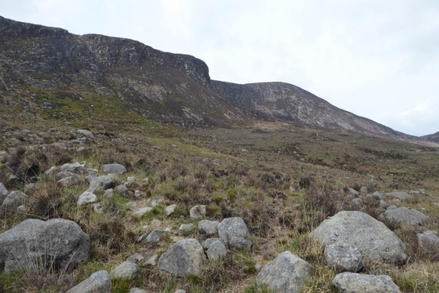
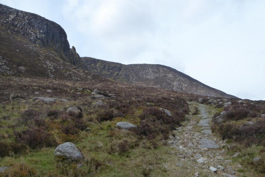
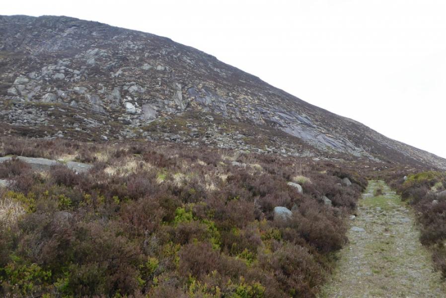
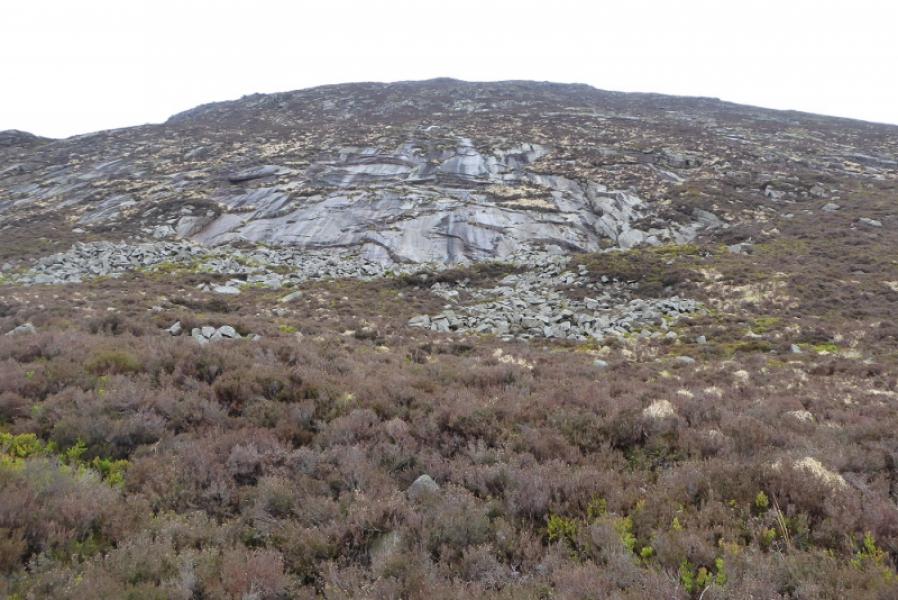
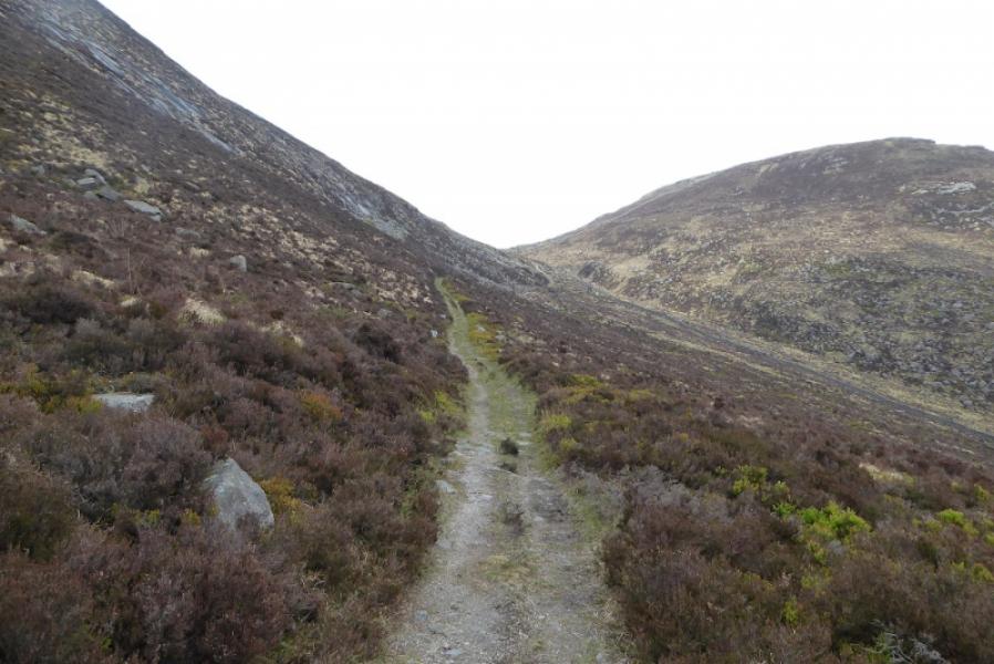
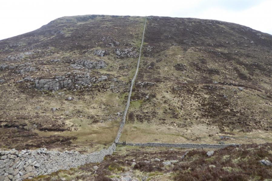
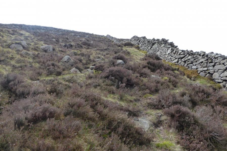
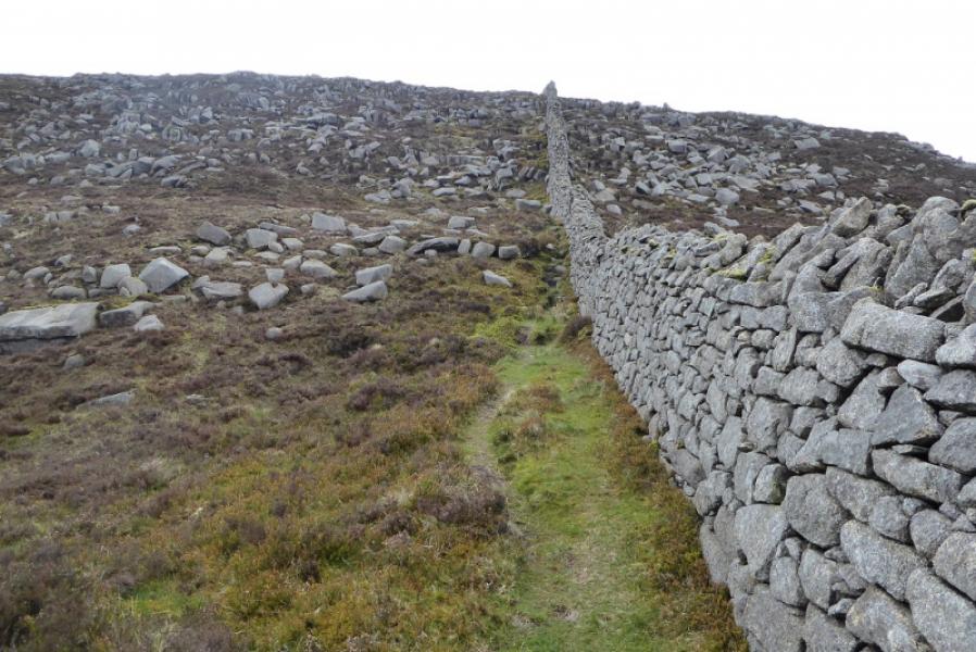
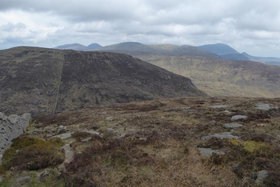
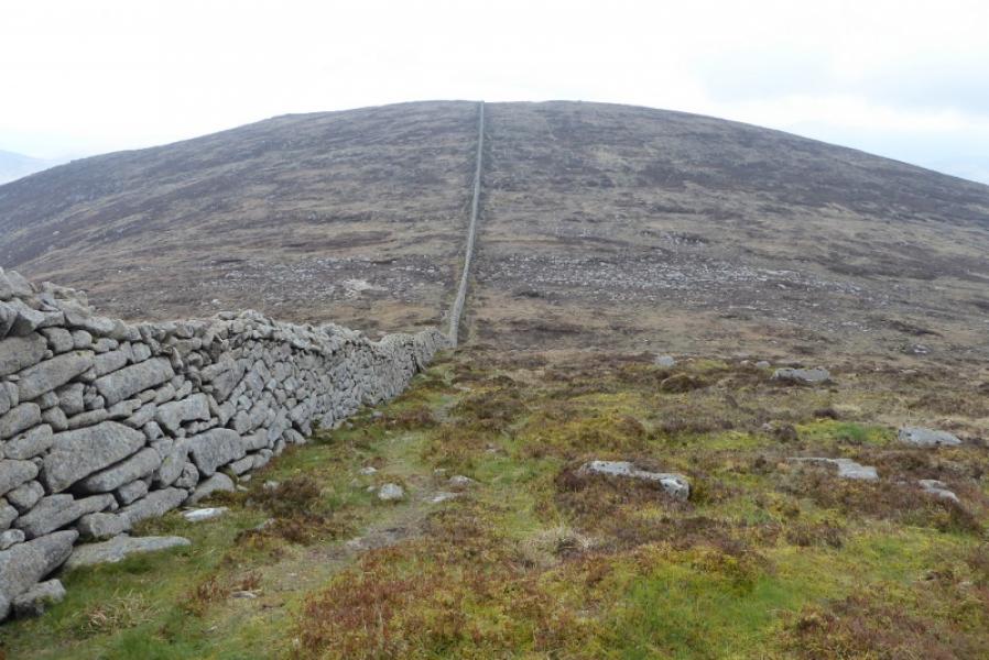
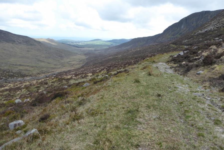
This is a very easy walk to navigate as there is a good, but rough, track most of the way to Windy Gap and a wall from Windy Gap which passes close to both summits. On a clear day, there are excellent views to the East towards the other high Mourne Mountains.
Route
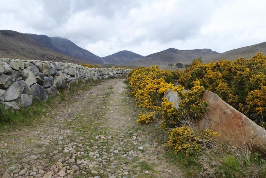
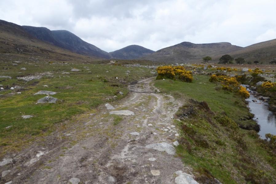
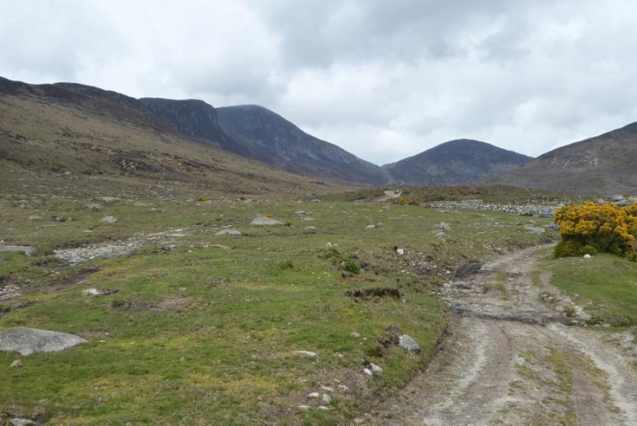
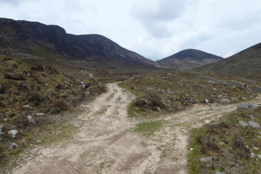
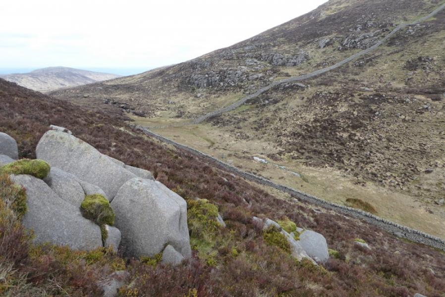
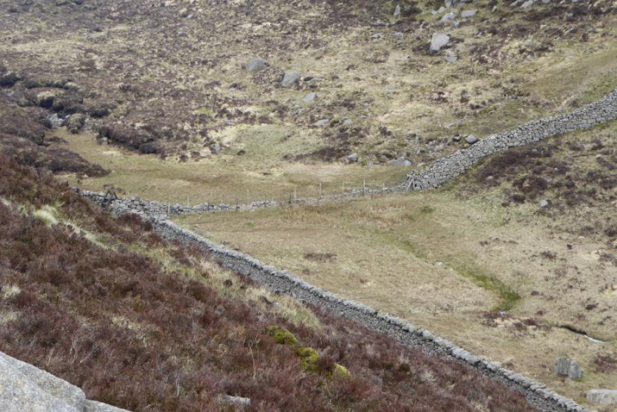
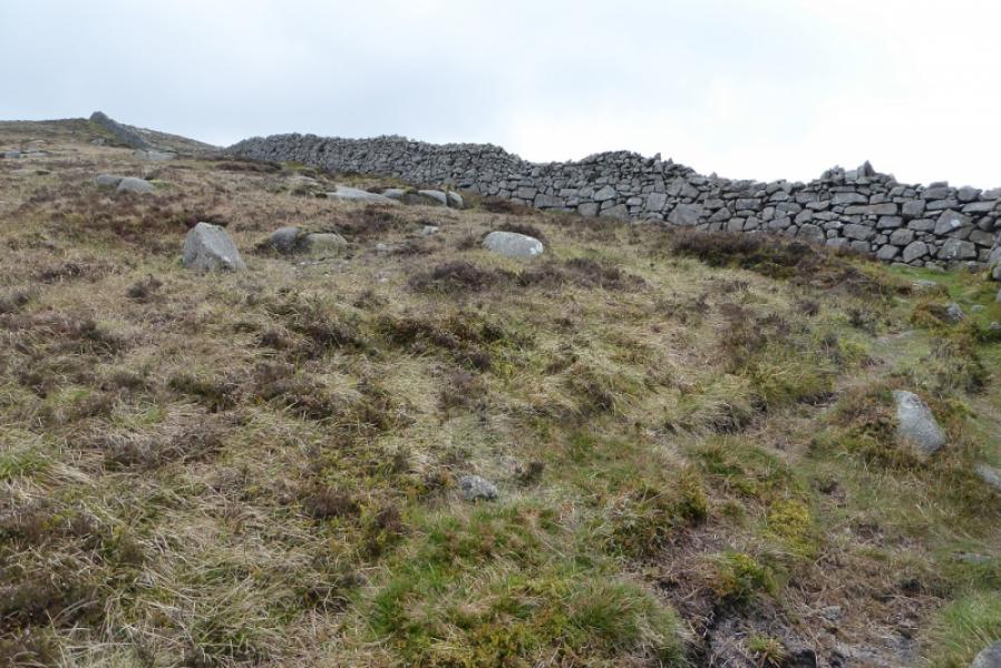
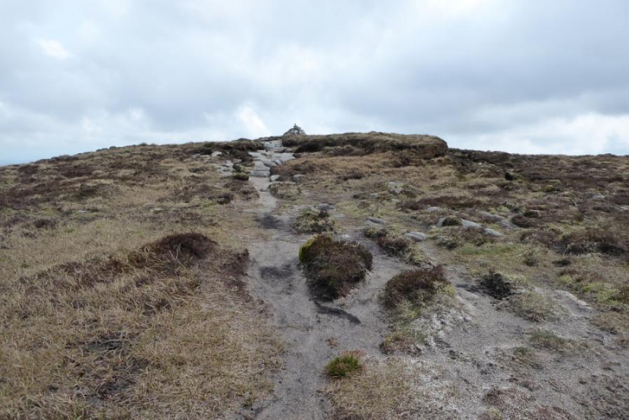
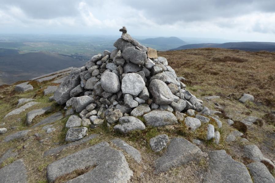
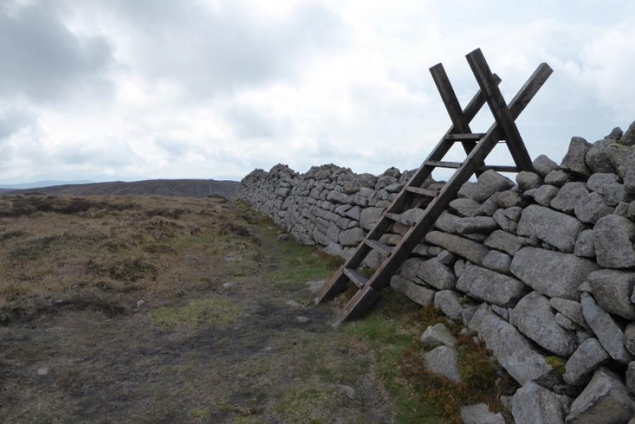
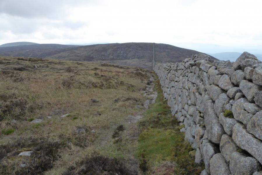
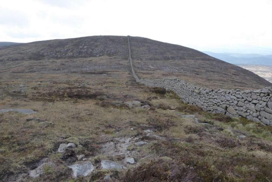
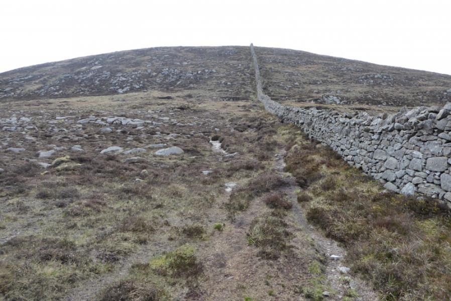
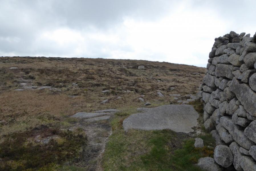
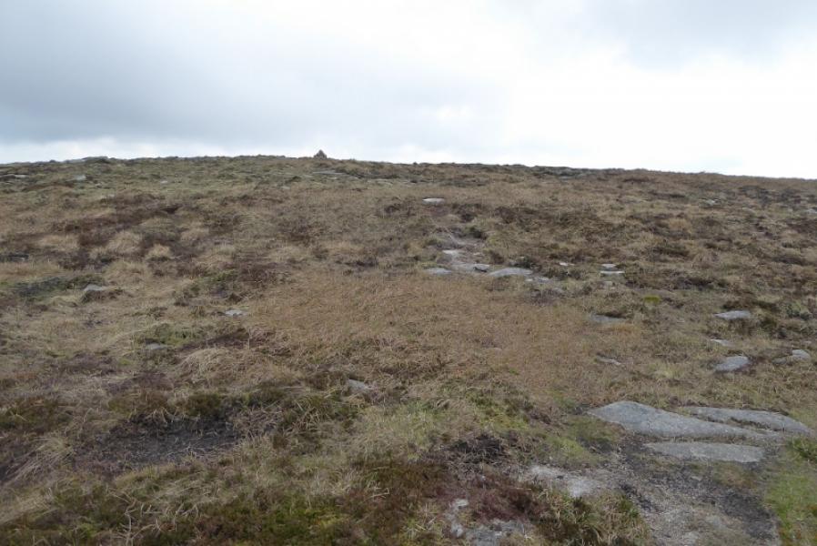
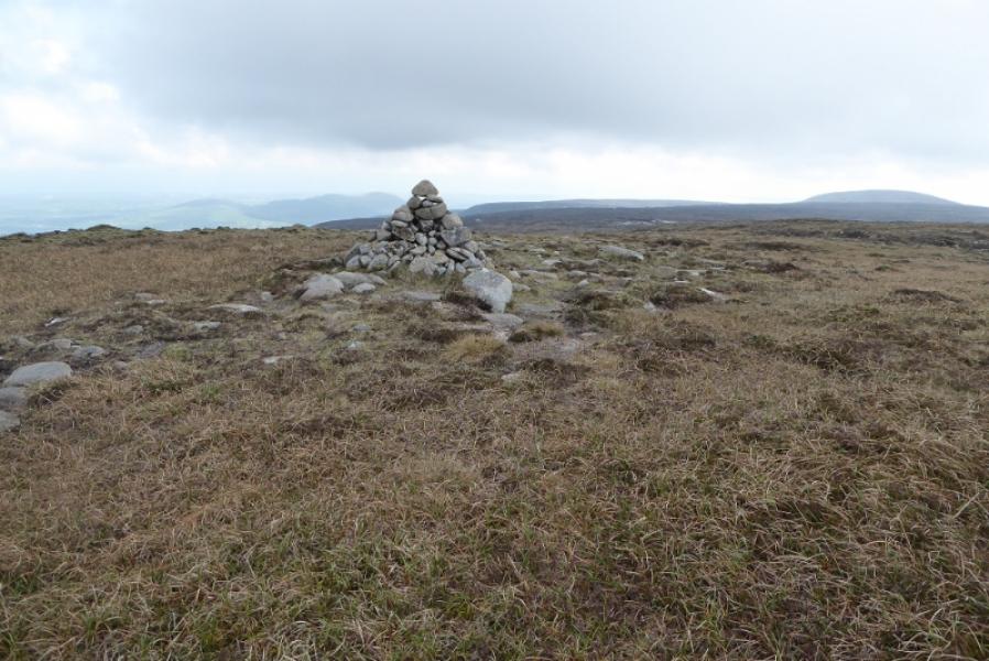
(1) Continue on the track beyond the footbridge and stay with the main track, ignoring all other tracks. The track stays on the W side of the Pigeon Rock Riveren it splits, go straight on, NNW. (The right fork goes to a ford on the river). Continue on the track with a wall on the right slowly converging to about 10 m away. About 400 m short of Windy Gap, the track bends uphill. Leave it and follow a path which goes straight ahead. Reach a substantial wall above Windy Gap. Turn left and follow a path, never far from the wall, uphill. The gradient eases when the wall turns left. When the wall turns right at a stile, head SSE for about 80 m to reach a large cairn which is the summit of Eagle Mountain, 638 m.
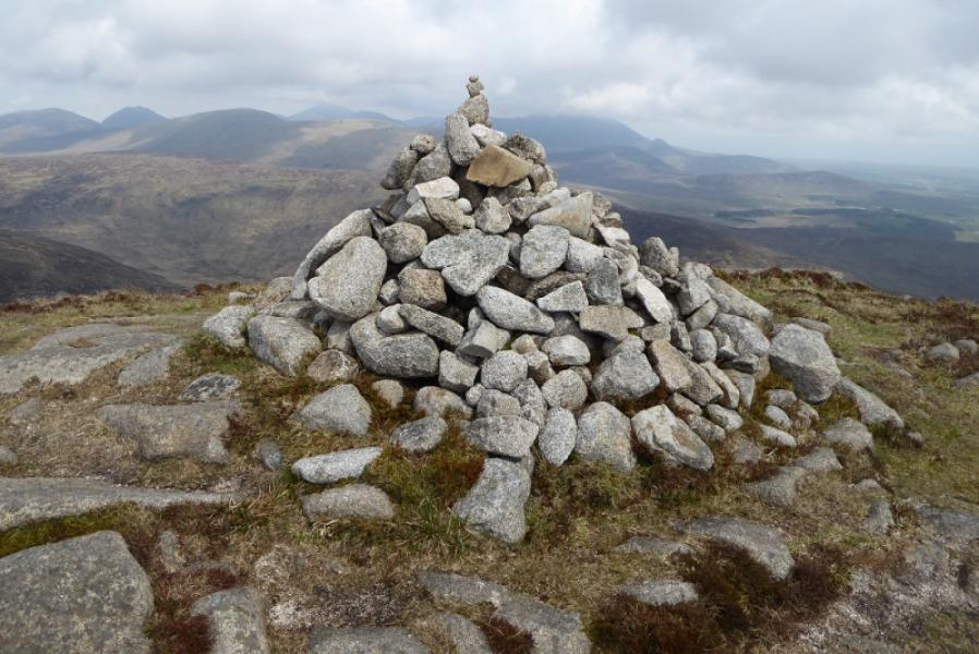
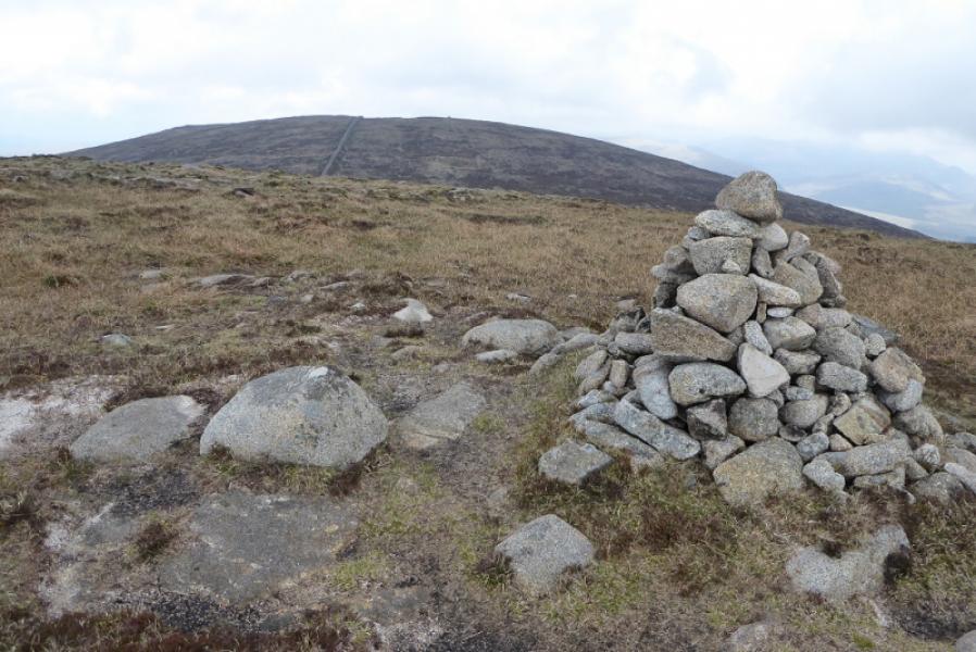
(2) Retrace to the wall and follow it SW to a col then up to a corner. Walk 100 m S from this corner to reach a slightly smaller cairn which is the summit of Shanlieve, 627 m.
(3) Retrace the outward route.
Notes
(a) This walk took place on 7th May, 2019.
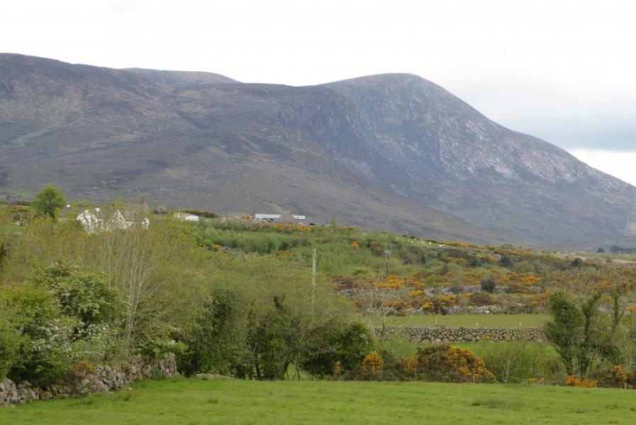
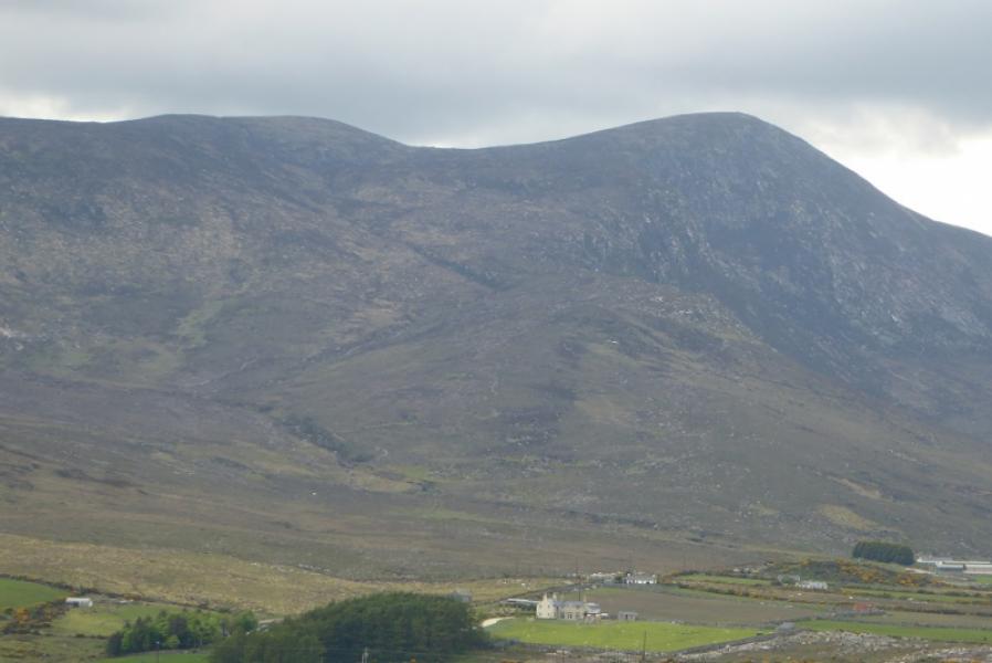
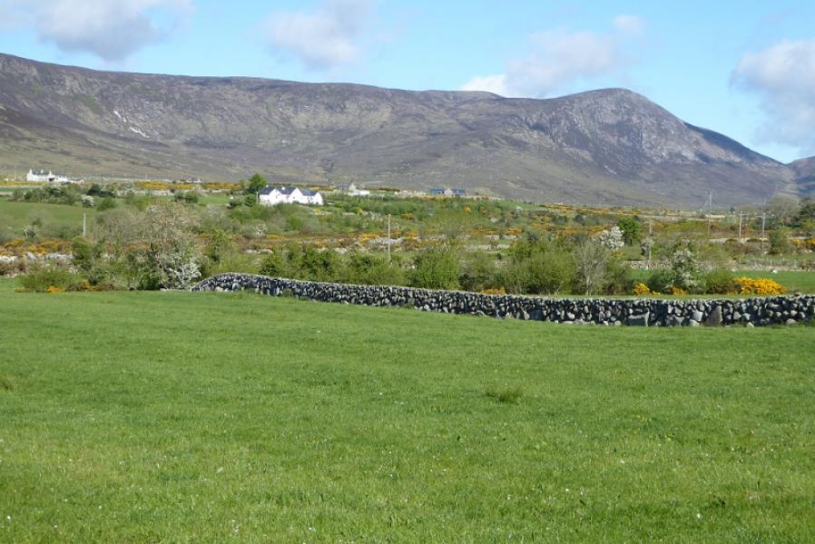
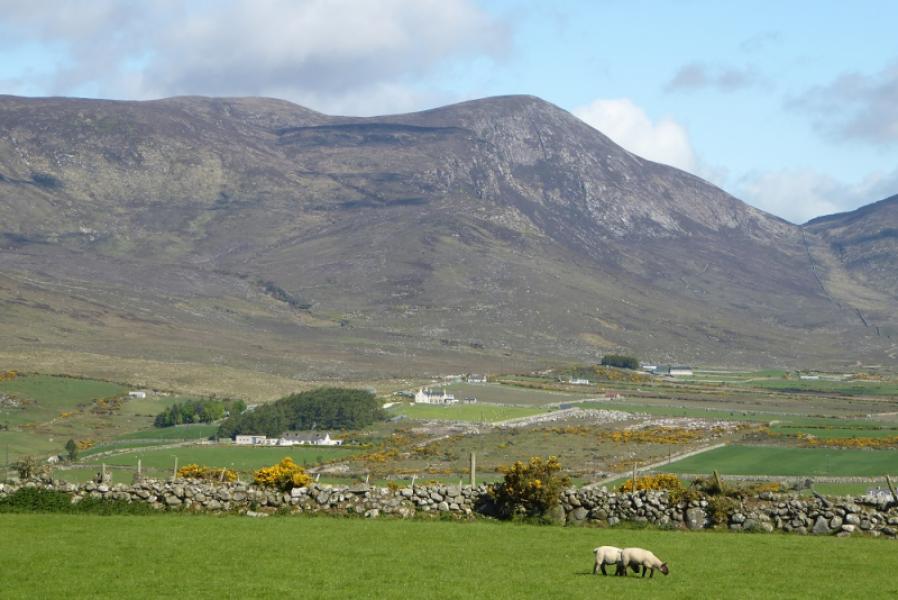
Photos - Hover over photo for caption. Click on to enlarge. Click on again to reduce.