Get Lost Mountaineering
You are here: England » Pennine Way » 5. Dufton to Bellingham
5. Greenhead to near Housesteads via Hadrian's Wall
5. Greenhead to near Housesteads via Hadrian's Wall
Start/Finish
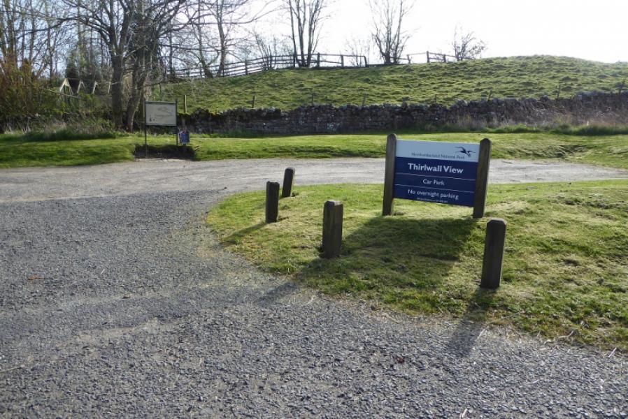
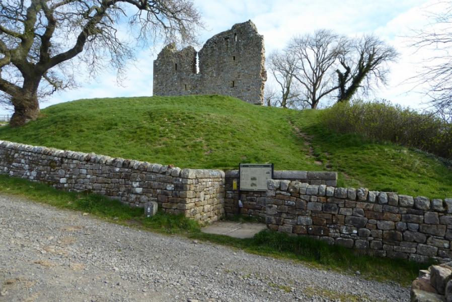
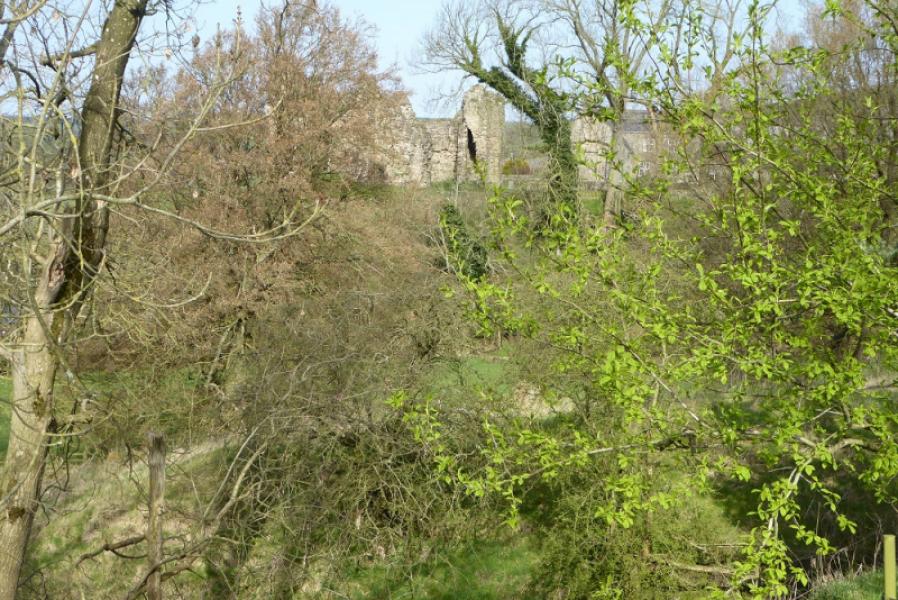
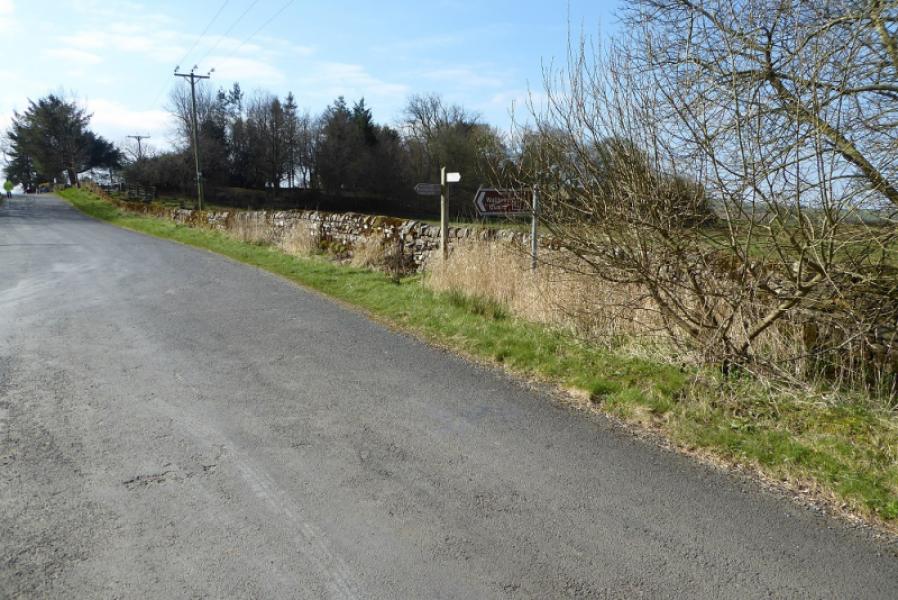
Greenhead just below Thirlwall Castle car park. This is just north of Greenhead village on the road towards Gilsland. The Pennine Way crosses the road just past the car park. The finish is on Hadrian's Wall where the Pennine Way leaves it and heads north. This is at NY 781 687. The nearest road is about 800 m due S and is the old military road. A path leads down to it. Alternatively, one could continue (not described) to Housesteads where there is a large car park.
Distance/Time
15 km. About 5 hours.
Peaks
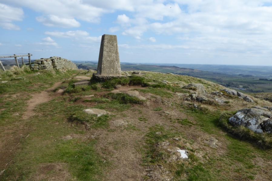
No peaks as such but the highest point is 345 m at the trig point trig point.
OL 43: Hadrian's Wall.
Introduction
This is probably the most undulating section of the Pennine Way with numerous ups and downs if Hadrian's Wall is followed. Once the actual wall is reached, the route is fairly obvious. There are a few steep sections but these are stepped. There is considerable history here which dates back to Roman times so this is a section to take at a leisurely pace. If time permits, there is a visitor centre at Housesteads which is a short distance past where the Pennine Way leaves Hadrian's Wall and turns north.
Route
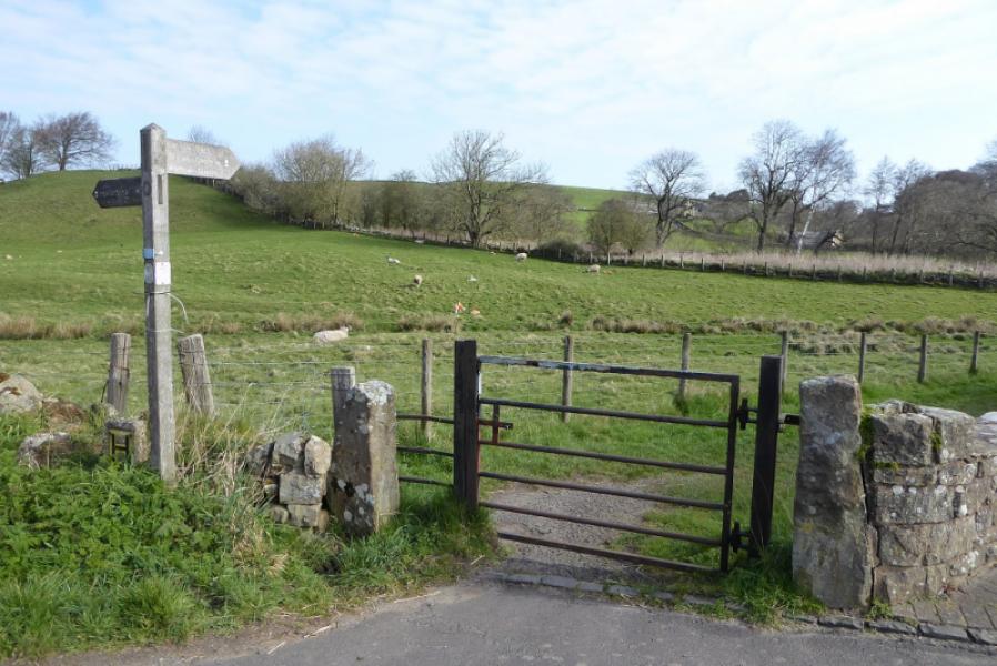
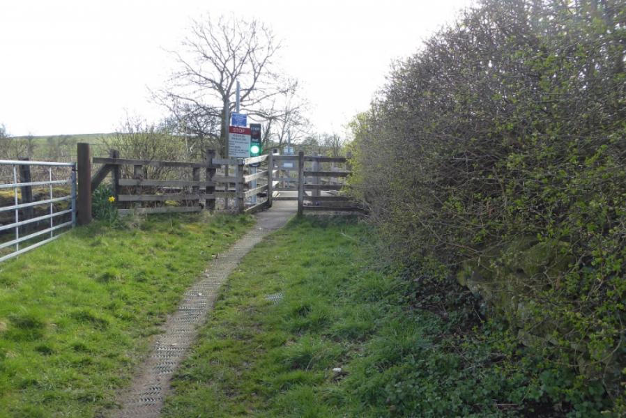
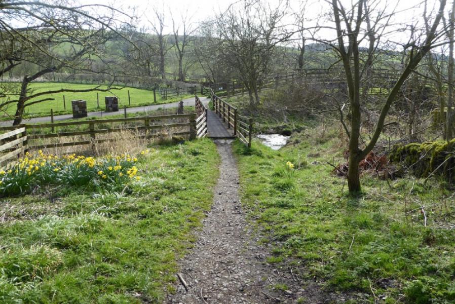
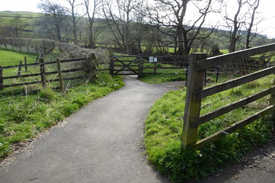
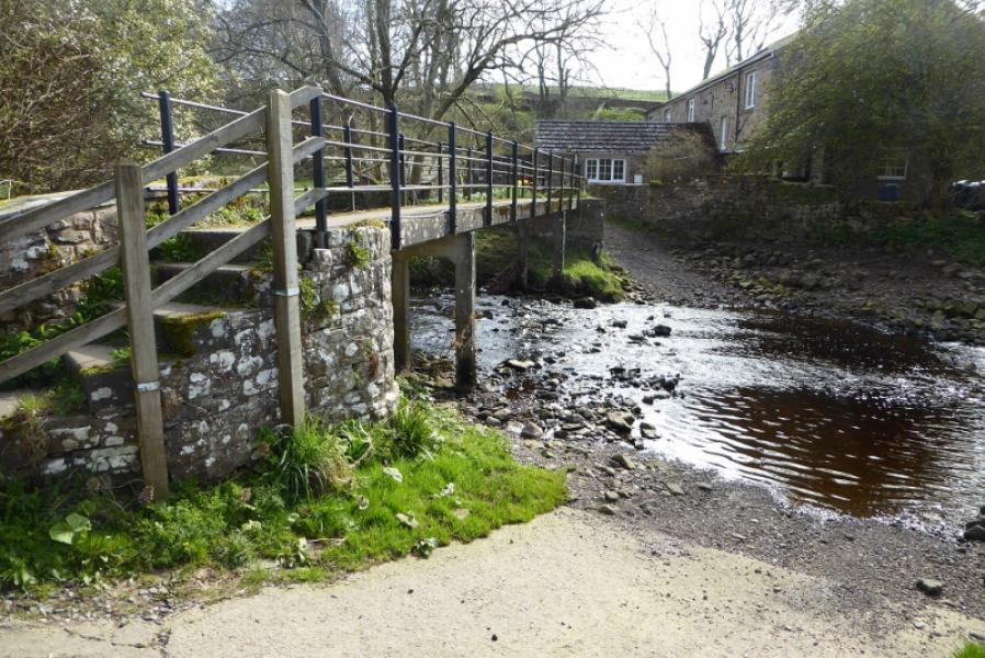
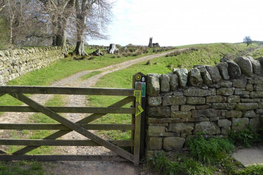
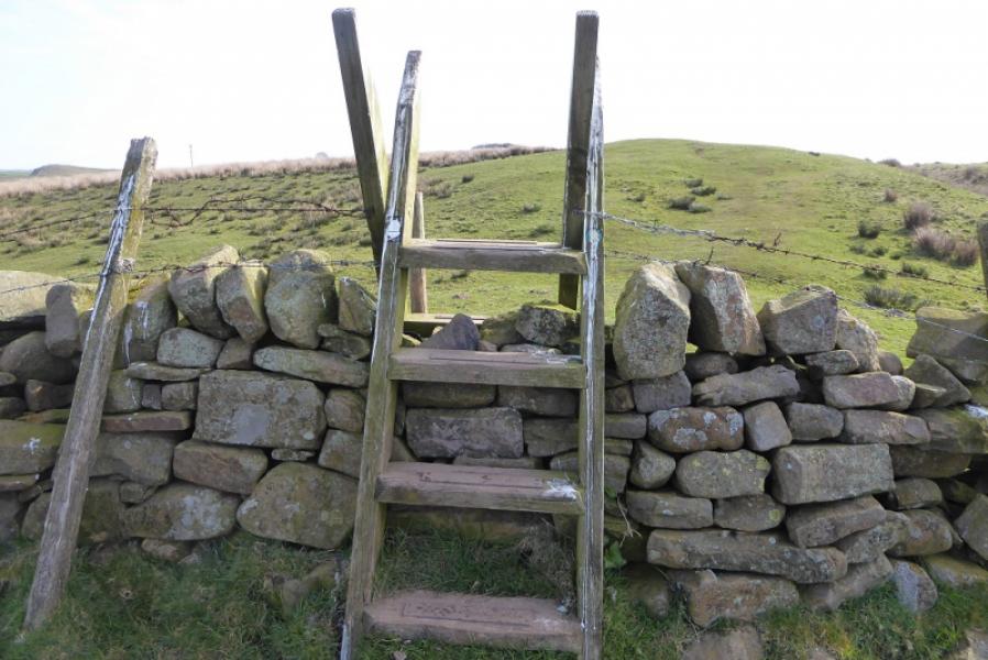
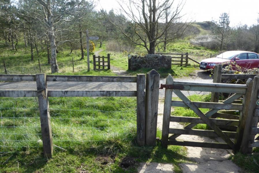
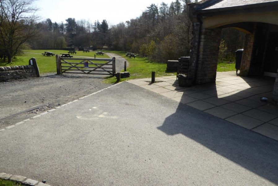
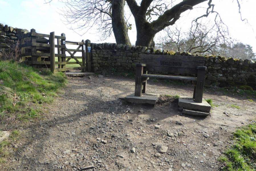
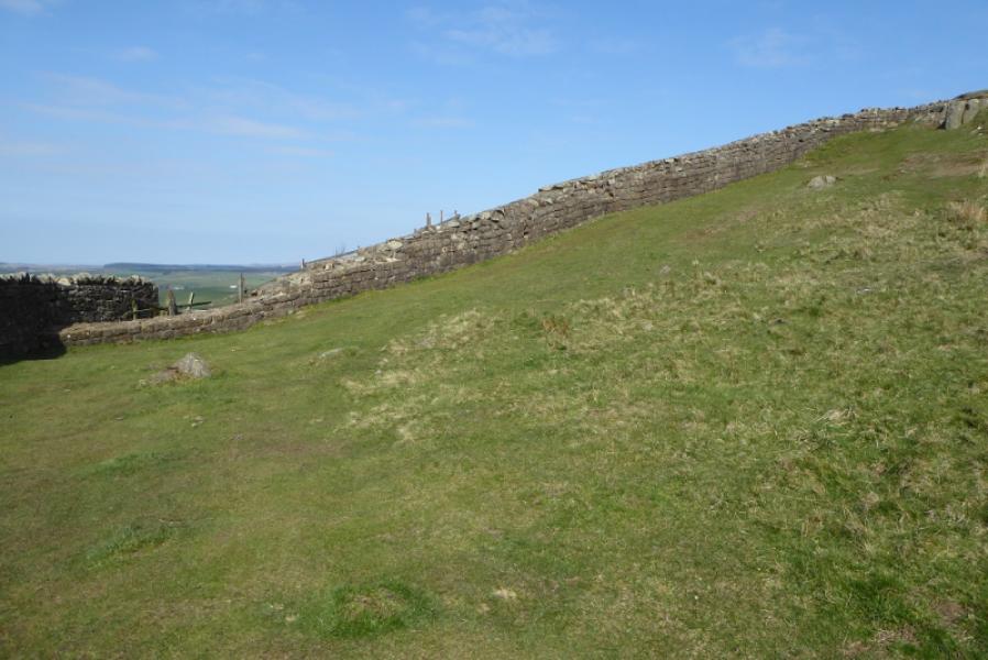
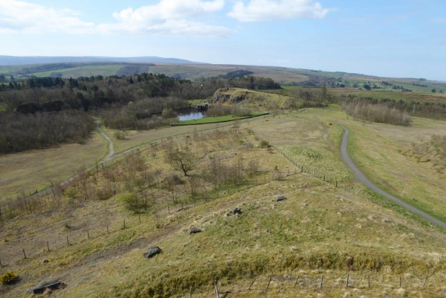
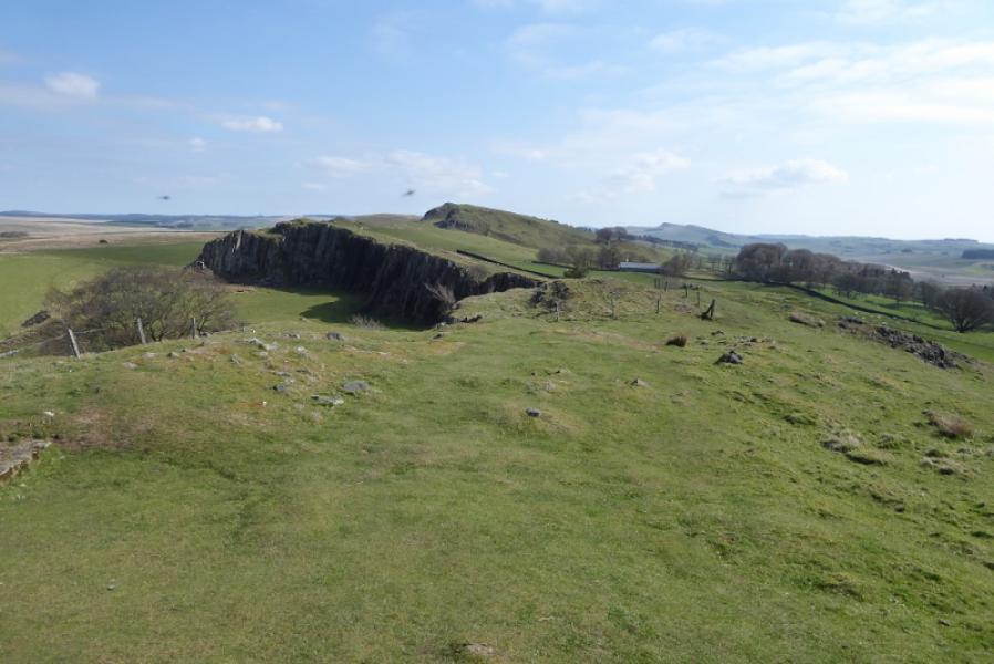
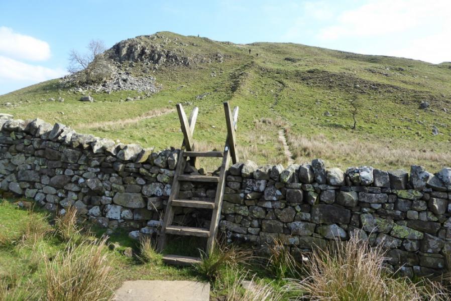
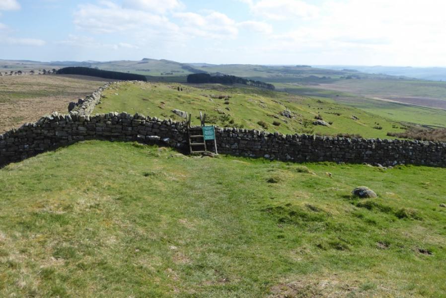
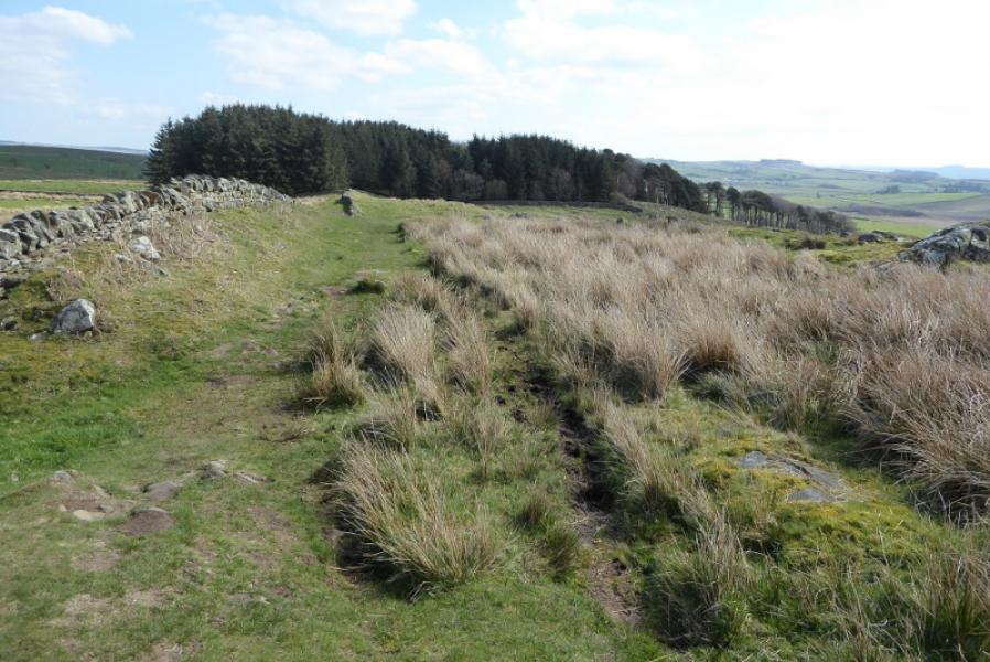
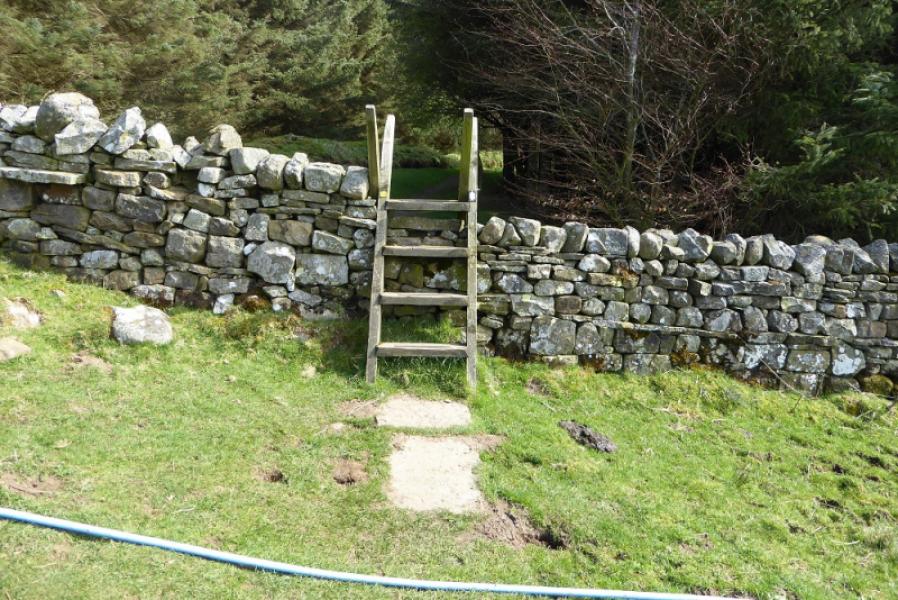
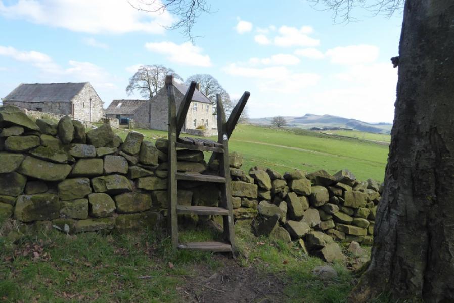
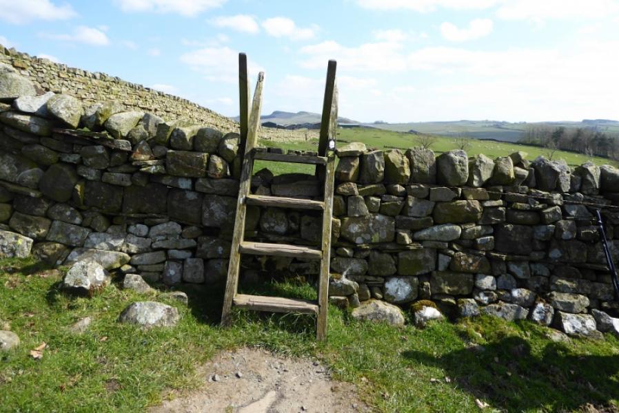
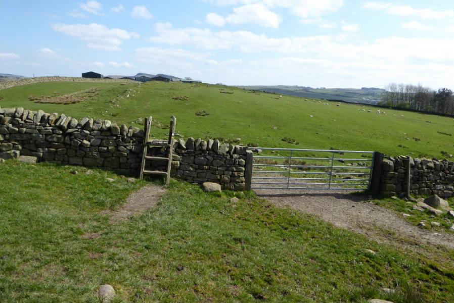
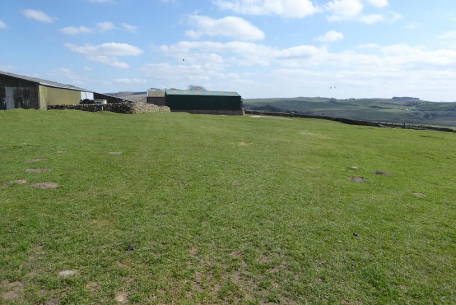
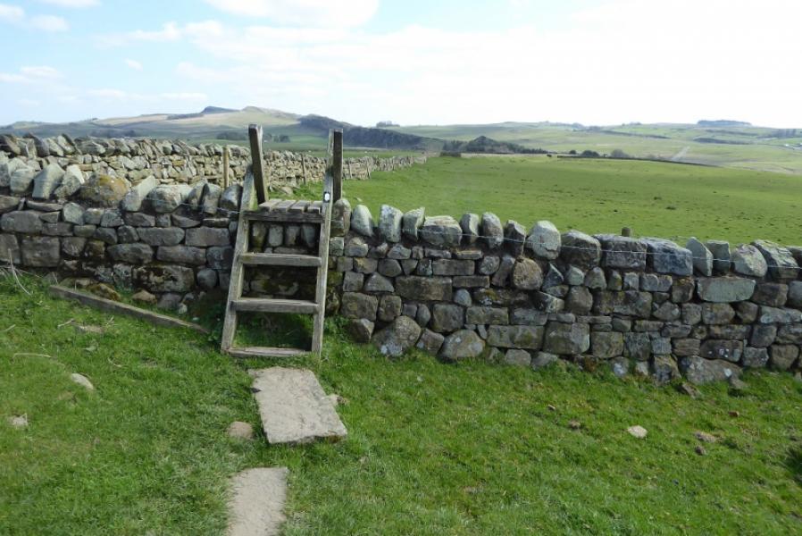
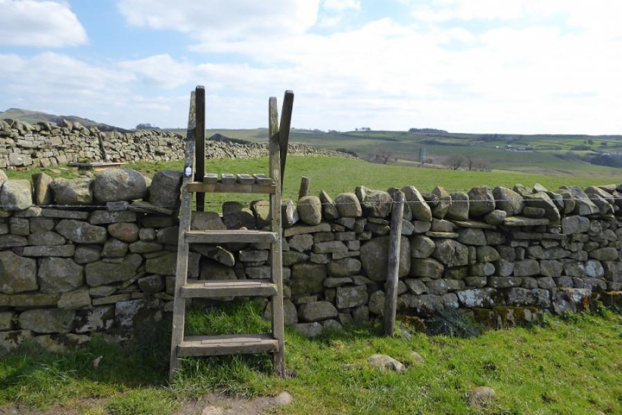
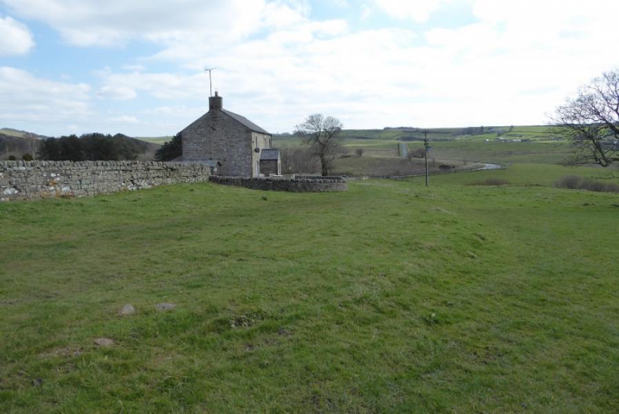
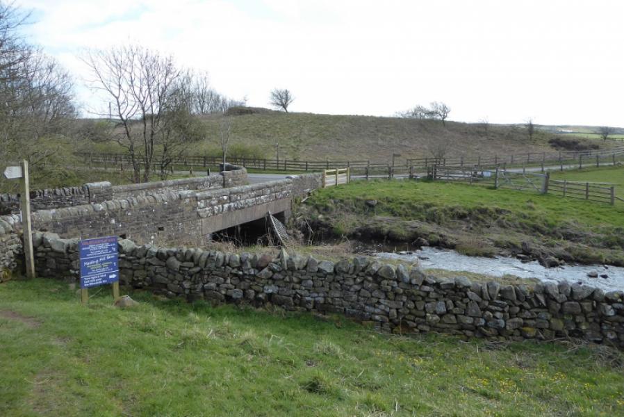
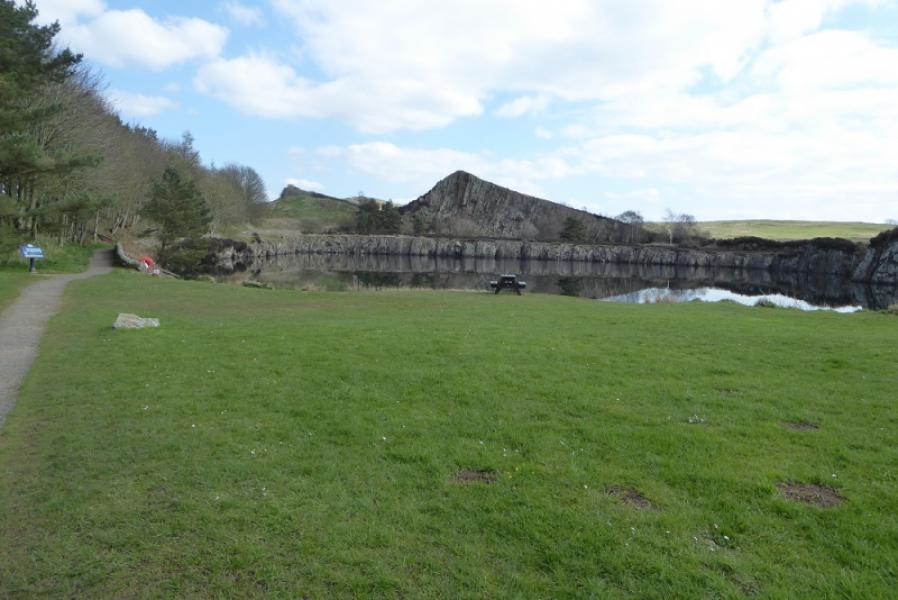
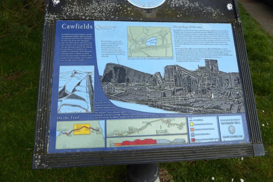
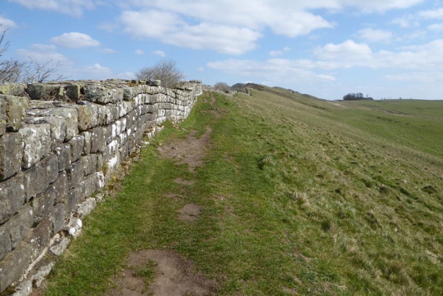
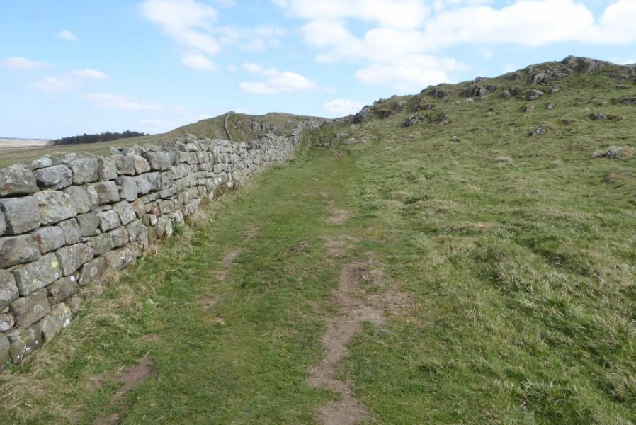
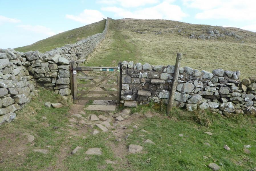
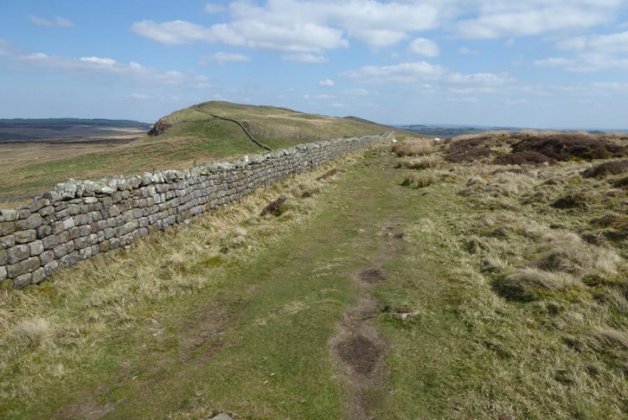
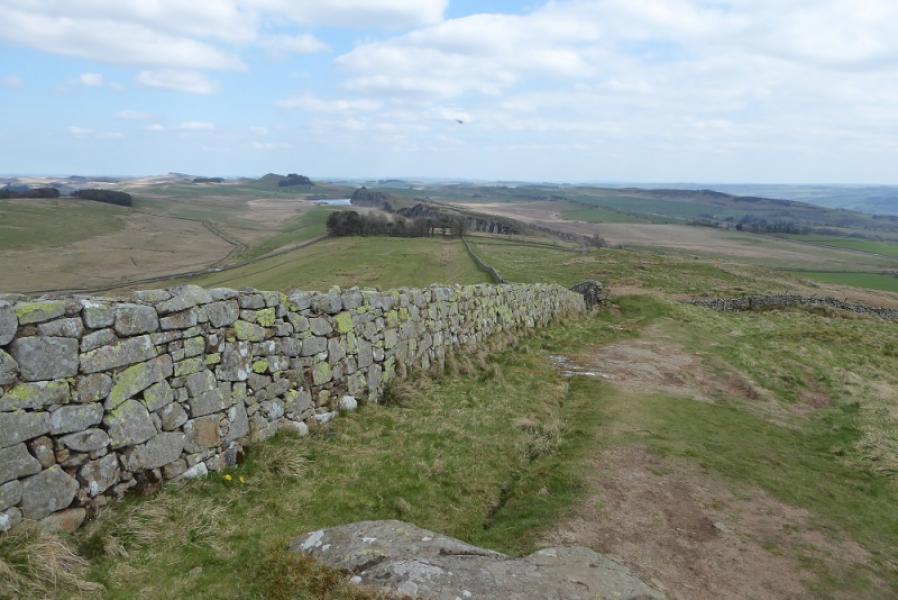
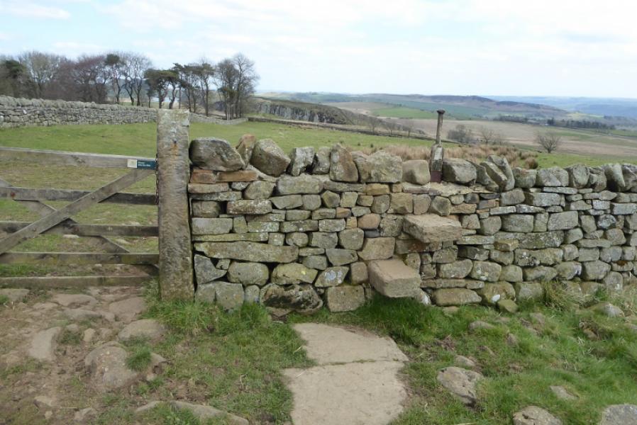
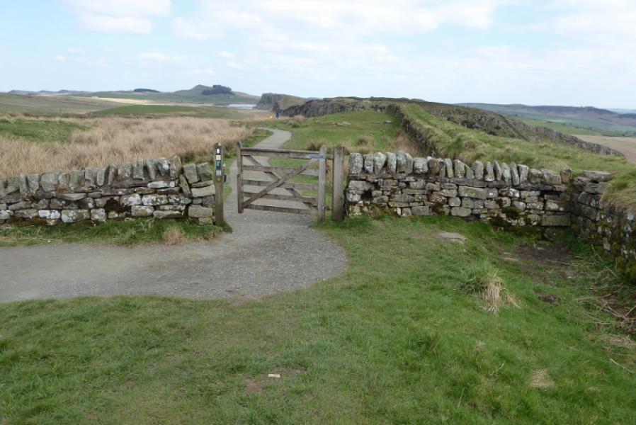
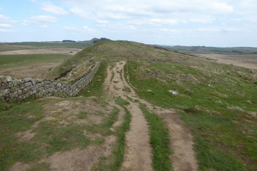
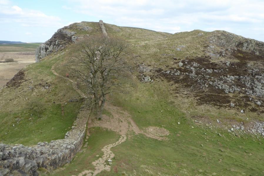
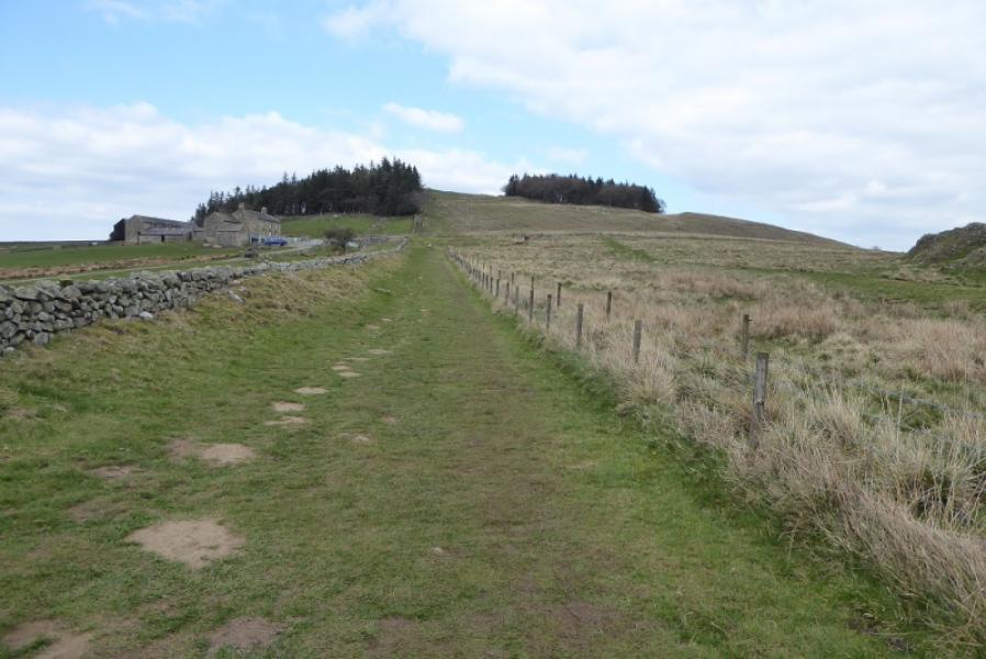
(1) Locate the Pennine Way (National Trails) sign below the car park and follow the path over the railway. This leads to below the ruined castle where it goes right to a bridge over a ford. Continue and soon start ascending. Keep going until a road is met. Turn right then left into a car park where there are toilets. The Pennine Way exits by the toilets and continues past a pond. Reach the Walltown bench where you go left and ascend to meet Hadrian's Wall. Follow the wall, which has many ups and downs. Eventually go through a wood then continue past a farm to meet a road at Cawfields.
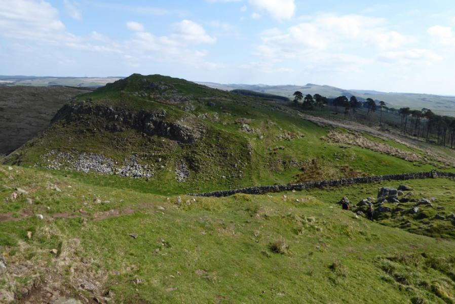
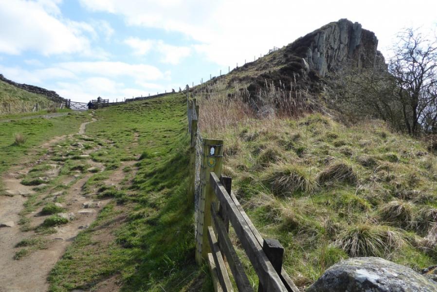
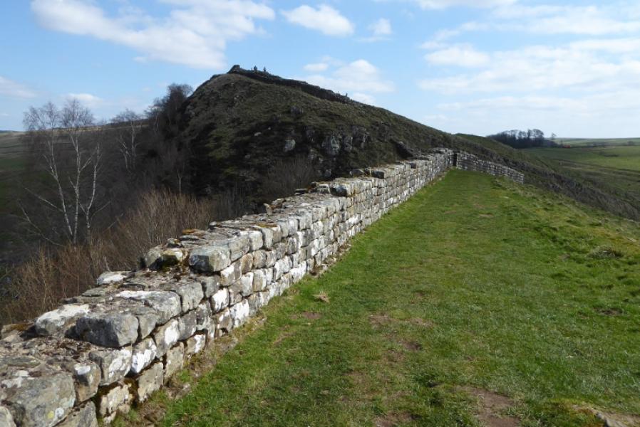
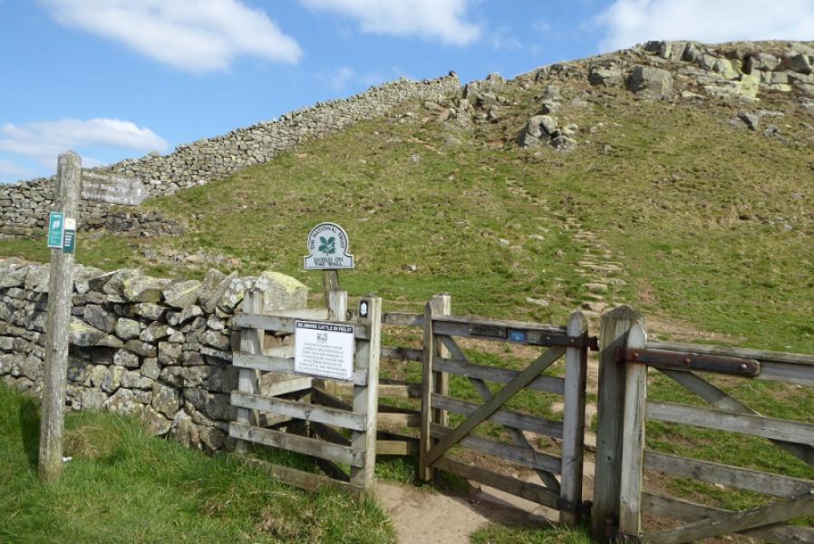
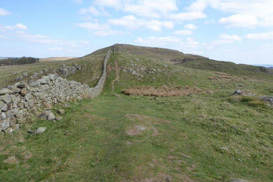
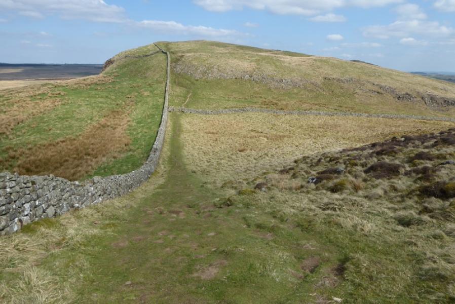
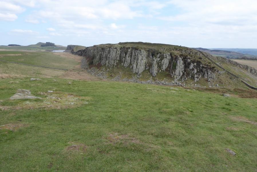
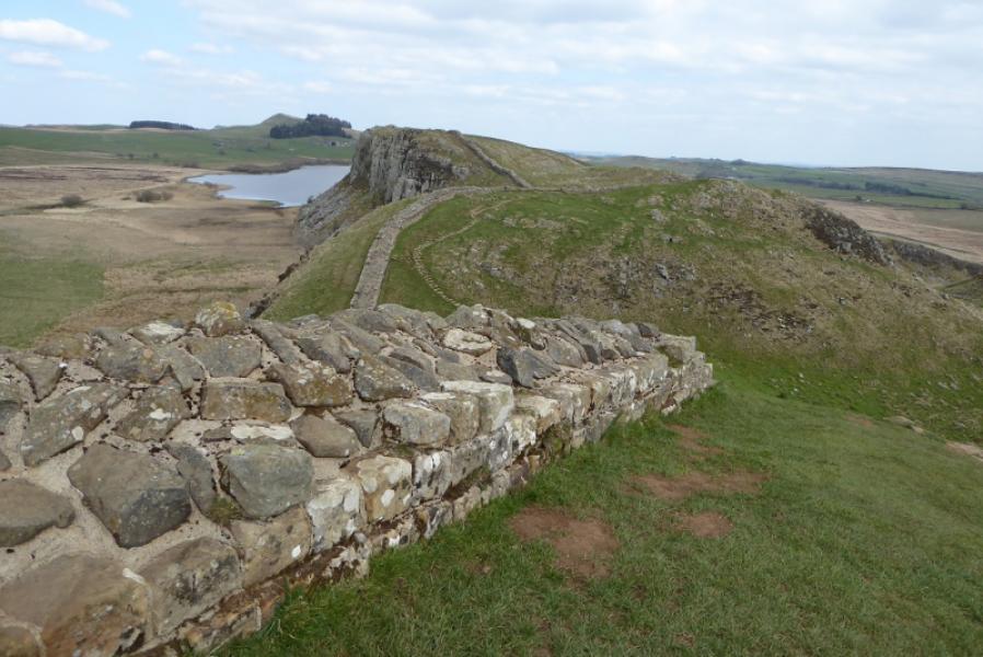
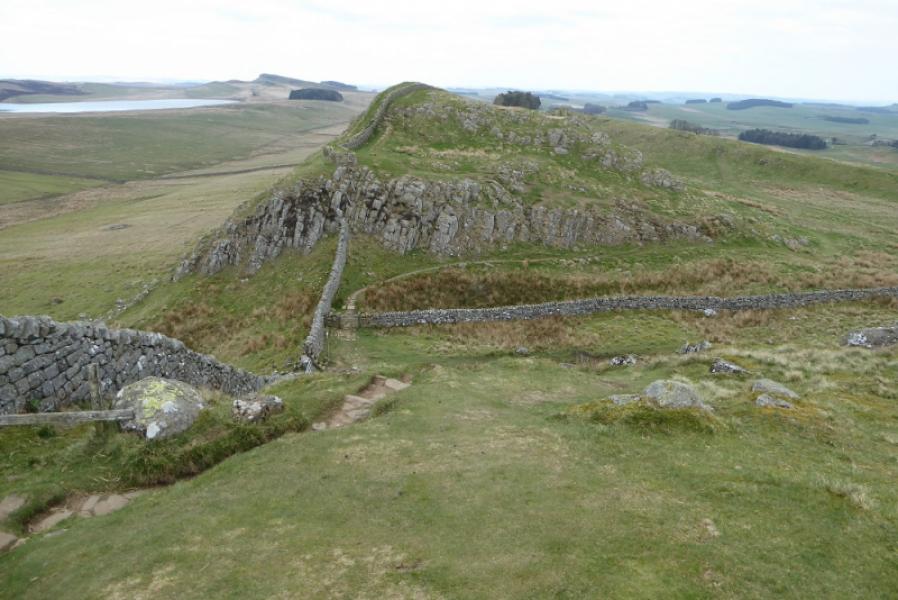
(2) Go through the car park (toilets), pass the pond and ascend to the side of the prominent pointed crag which has steps up it for those who wish a quick detour. Continue following the wall and soon reach the road at Shield on the Wall. Continue over the two prominent tops well seen for some distance then continue a long ascent up to the trig point, 345 m. Continue and descend to the road before Steel Rigg, a long cliff.
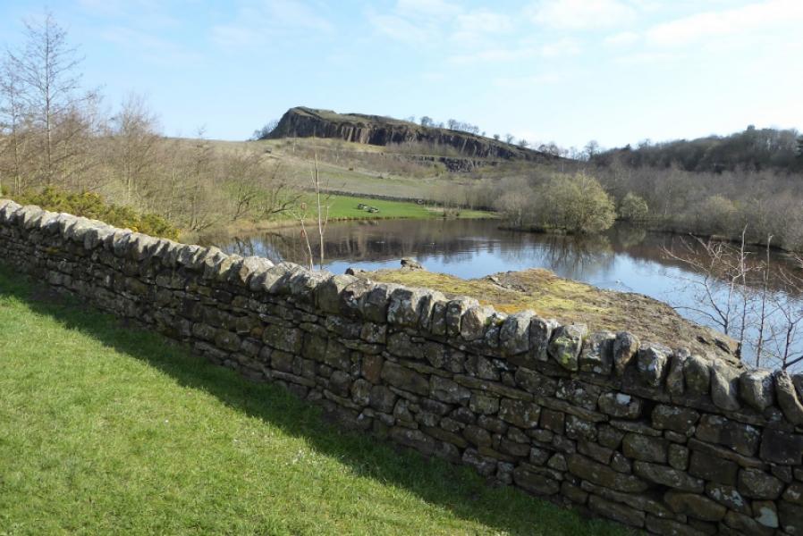
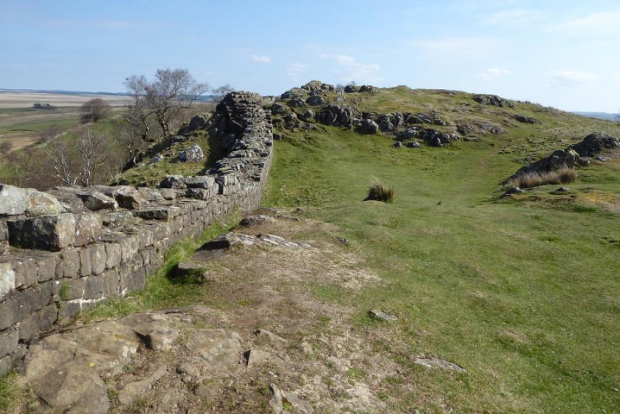
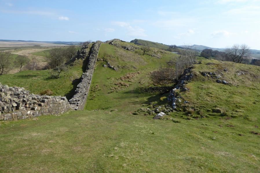
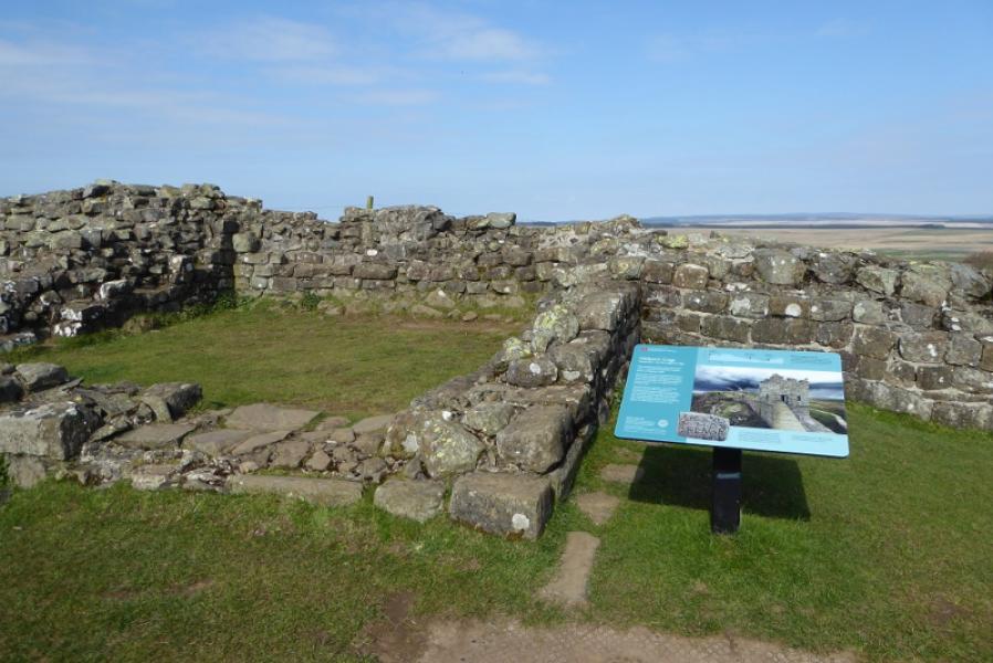
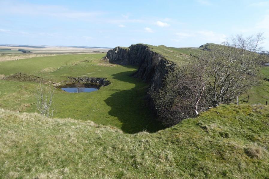
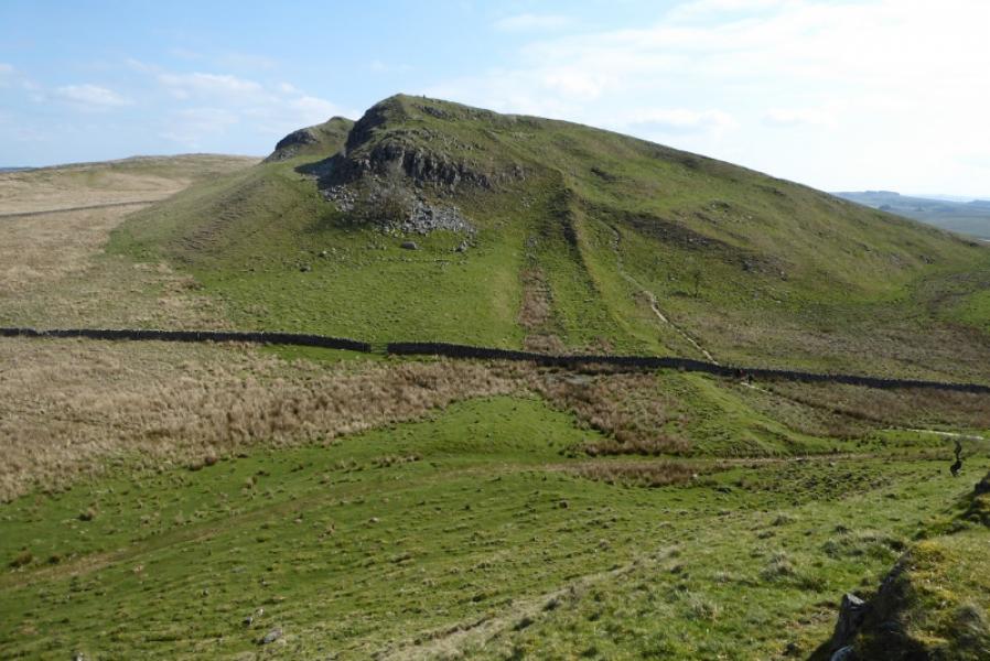
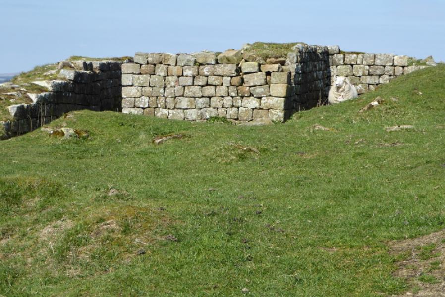
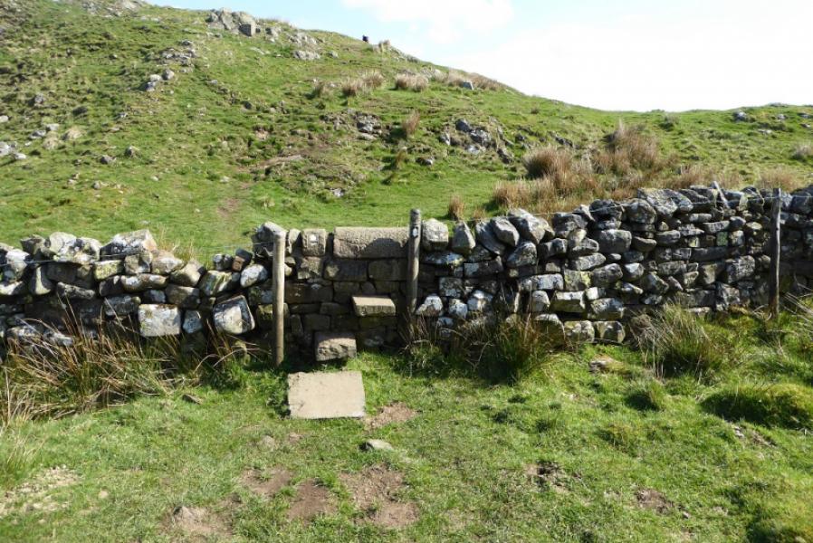
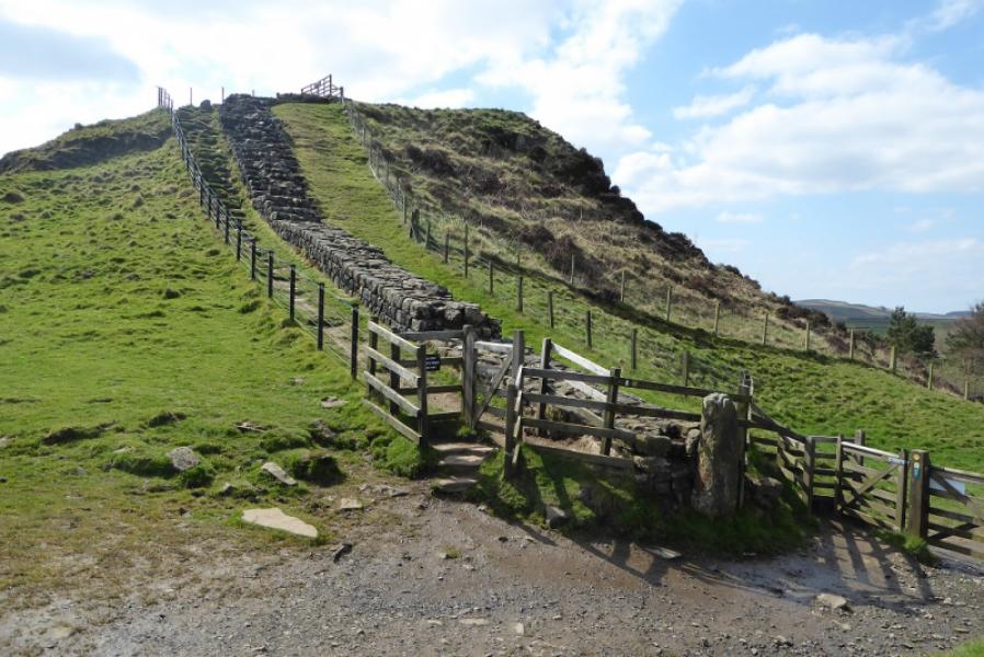
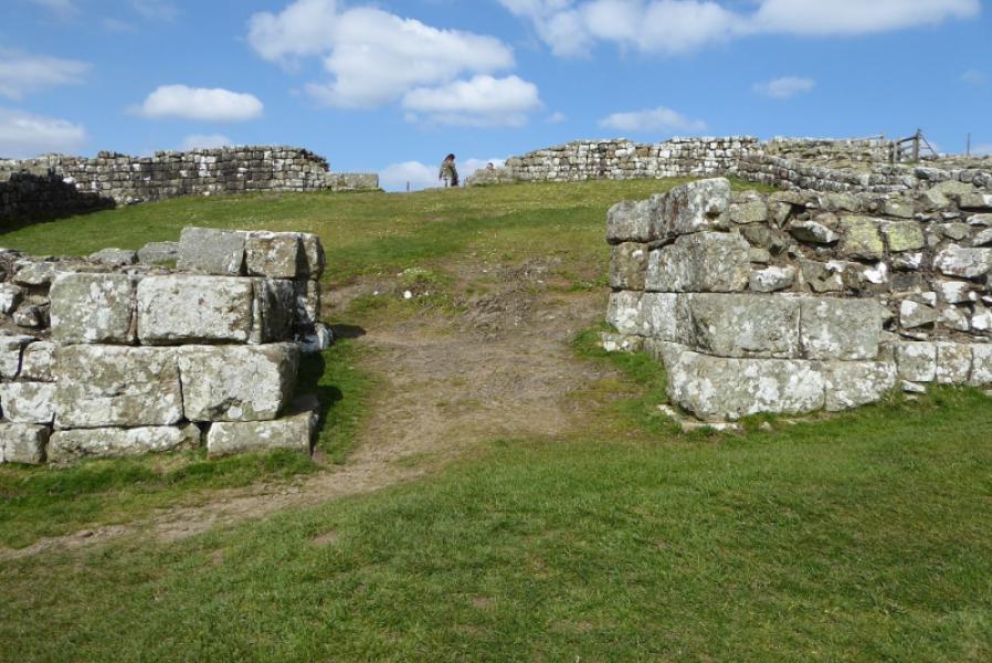
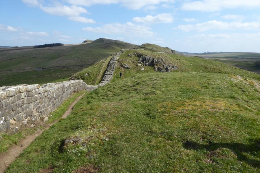
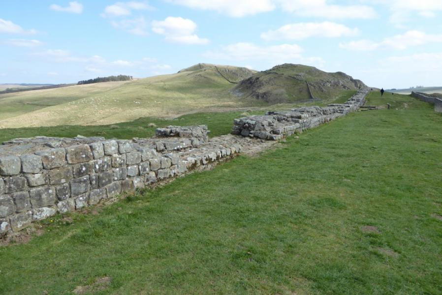
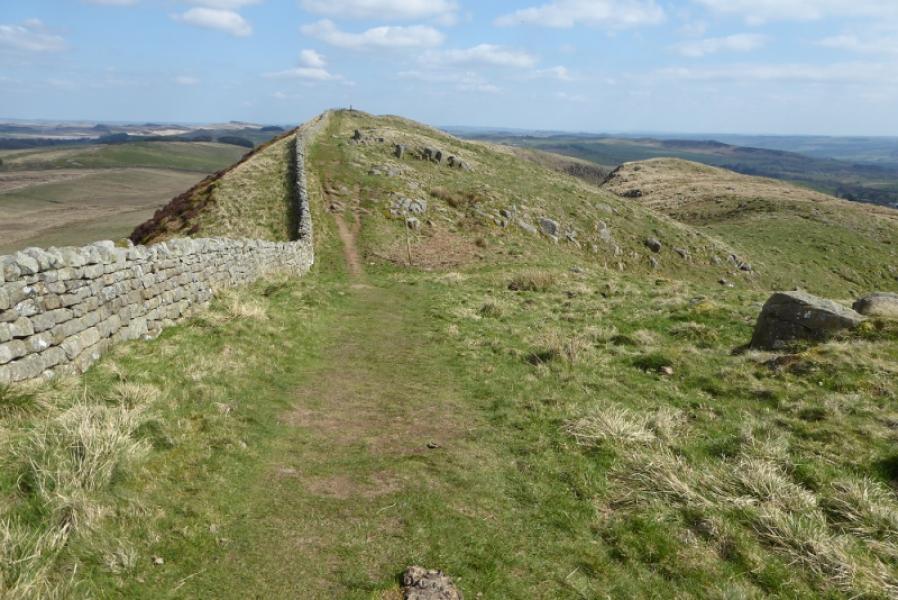
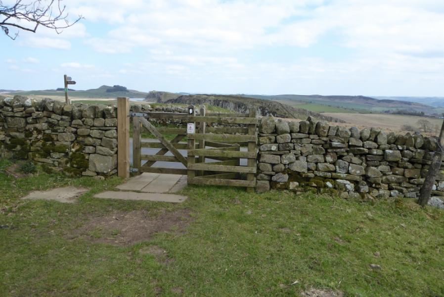
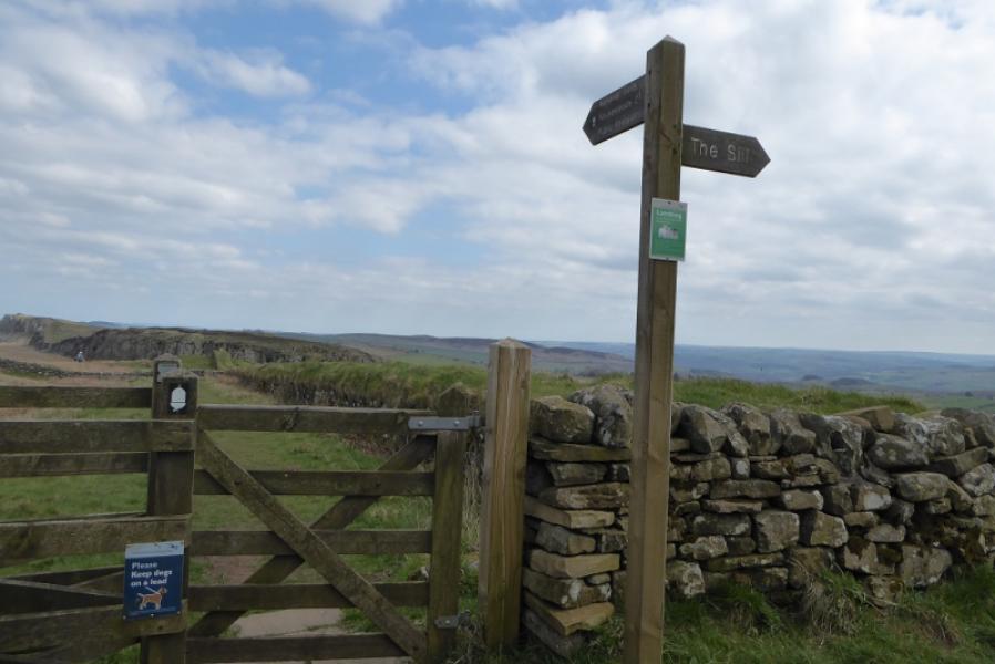
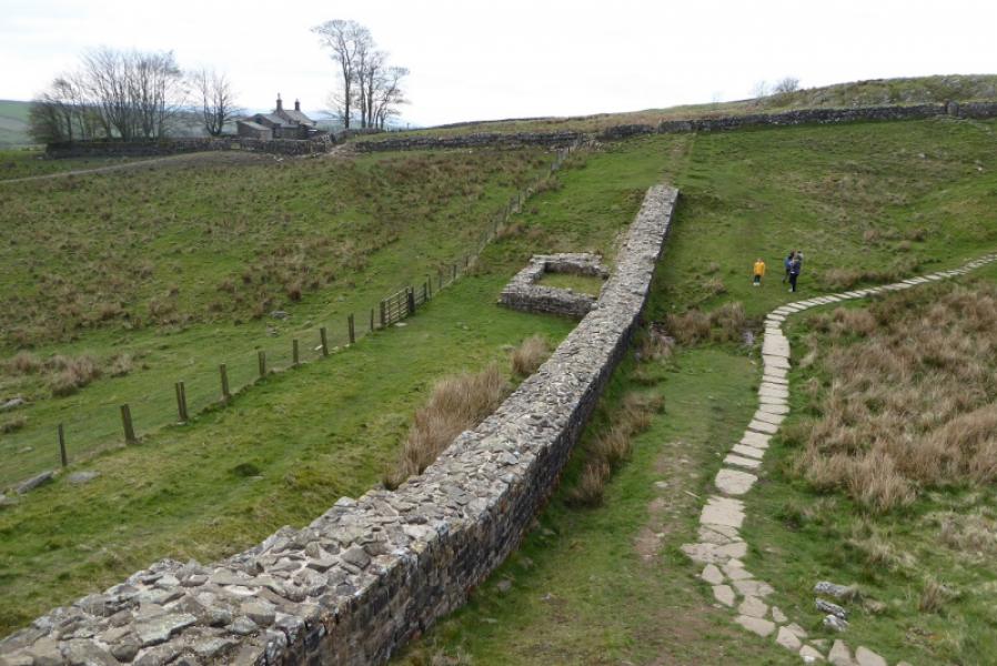
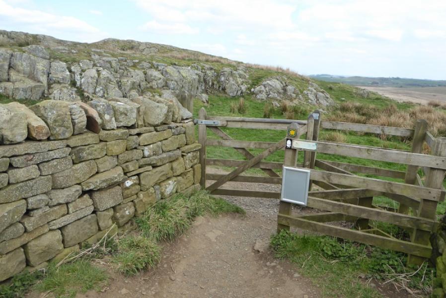
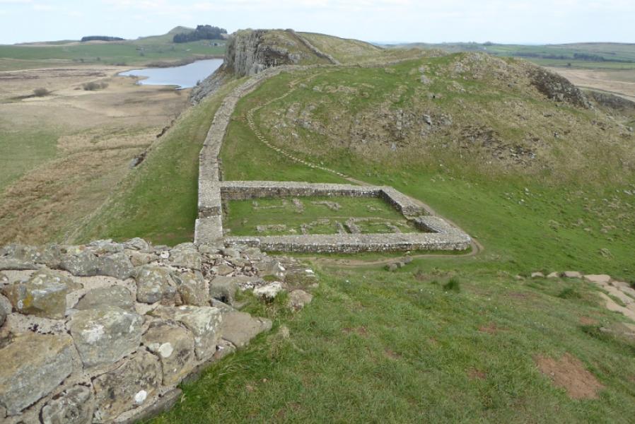
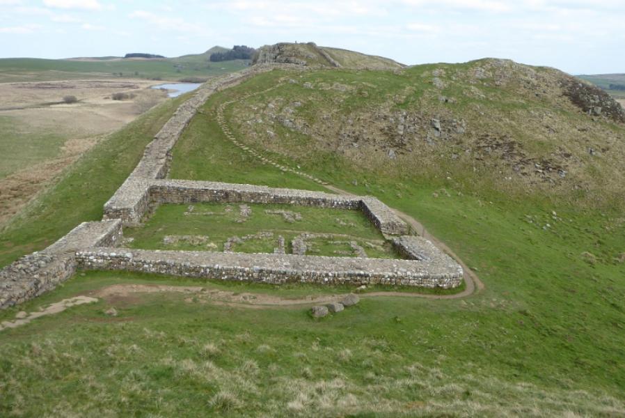
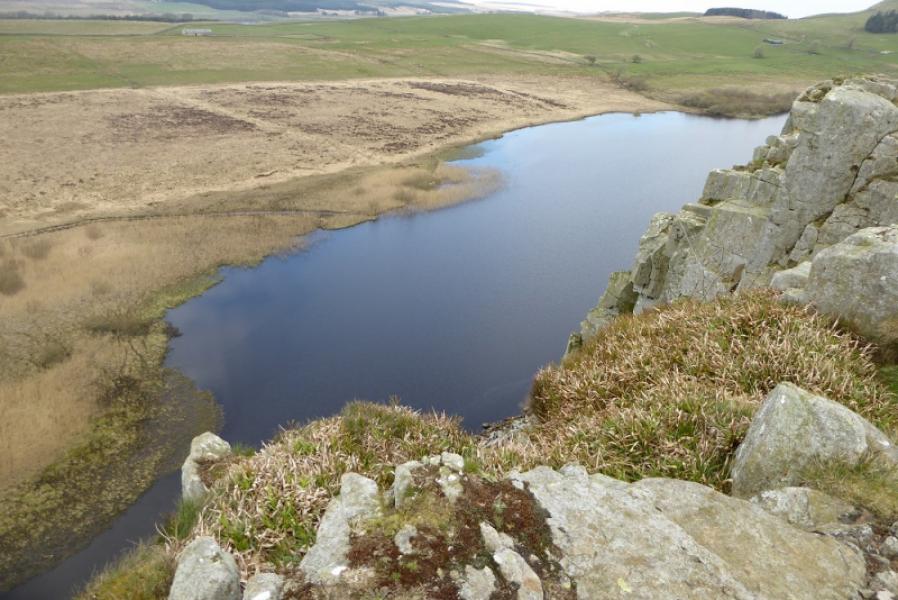
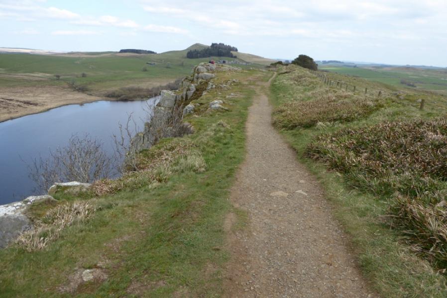
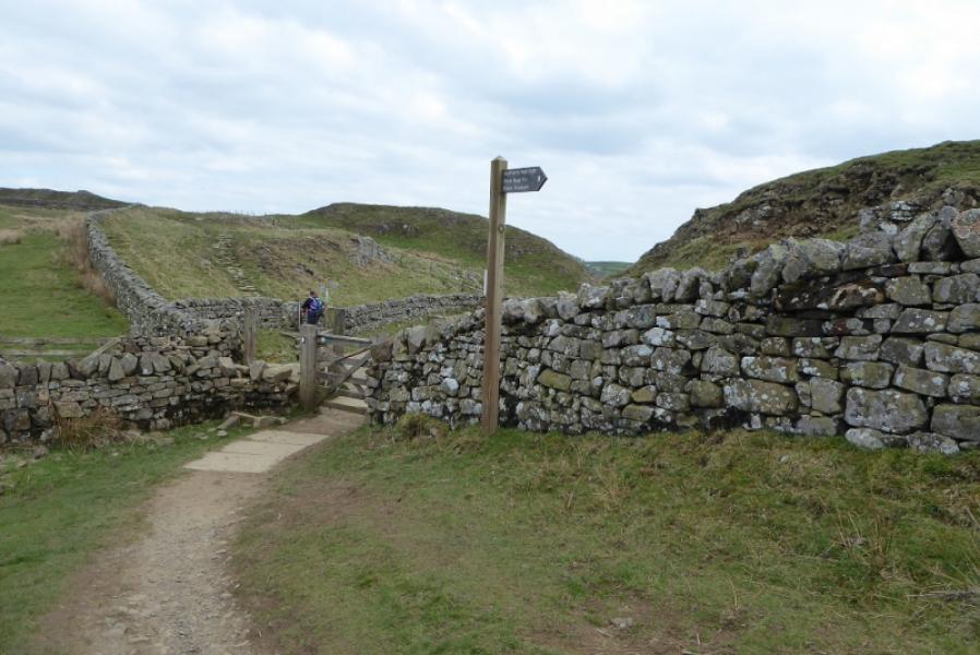
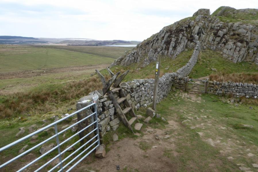
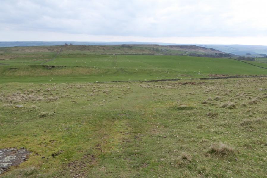
(3) Cross the road and continue to Steel Rigg which is a steep climb up some rough steps. Continue along the crest and look down on the remains of a large building. Further on, there are good views down to Crag Lough, the lake below. At the end of Steel Rigg, pass through some gates and continue past Hotbank Farm on the final climb of the day; it is another long ascent. Keep to the wall on the left. Continue over the highest point to reach a deep gap where a signpost shows the Pennine Way leaving Hadrian's Wall and heading N. Go right and follow a meandering path down to the miltary road.
Notes
(a) This route was walked on 11th April, 2019.
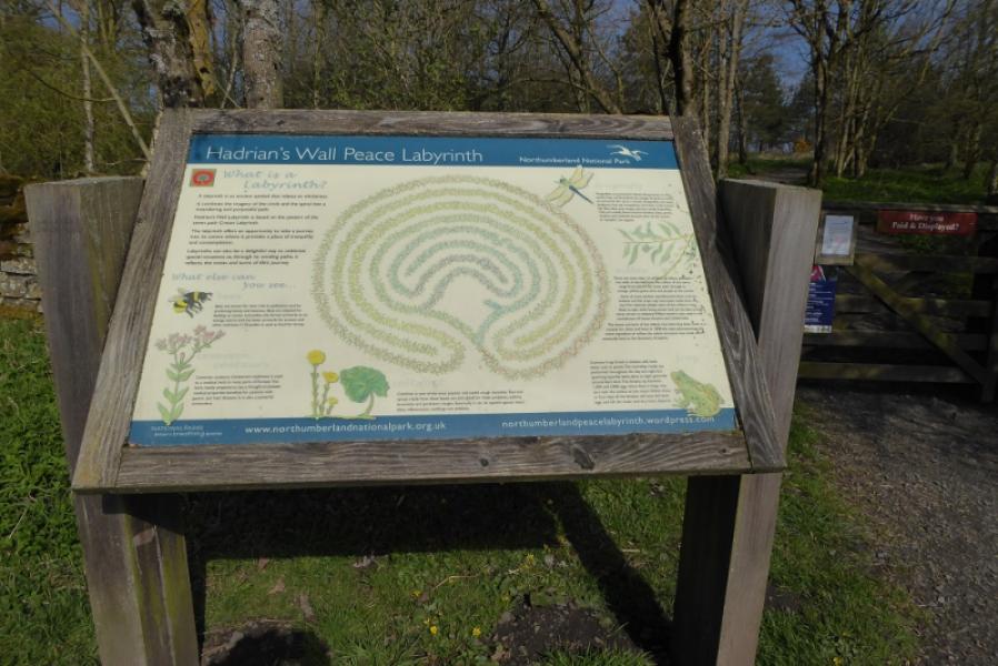
Photos - Hover over photo for caption. Click on to enlarge. Click on again to reduce.