Get Lost Mountaineering
You are here: England » Pennine Way » 5. Dufton to Bellingham
4. Glendue Burn to Greenhead
4. Glendue Burn to Greenhead
Start/Finish
Glendue Burn, A686, about 2 miles south of Lambley. which some may find an unusual starting point but it is about halfway between Alston and Greenhead.. The finish is in Greenhead where the road is met after descending from the golf course.
Distance/Time
15 km. About 4 - 5 hours.
Peaks
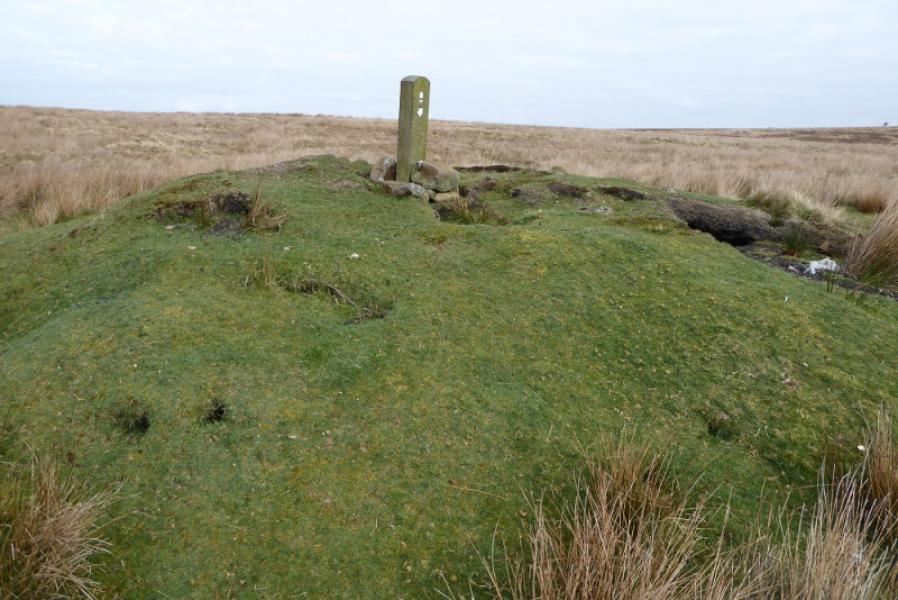
No peaks as such but the highest point is about 280 m near Black Hill trig point.
OL 43: Hadrian's Wall.
Introduction
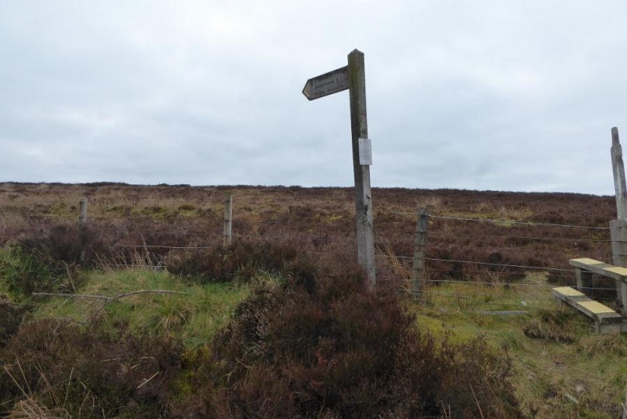
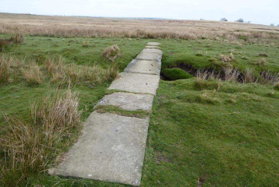
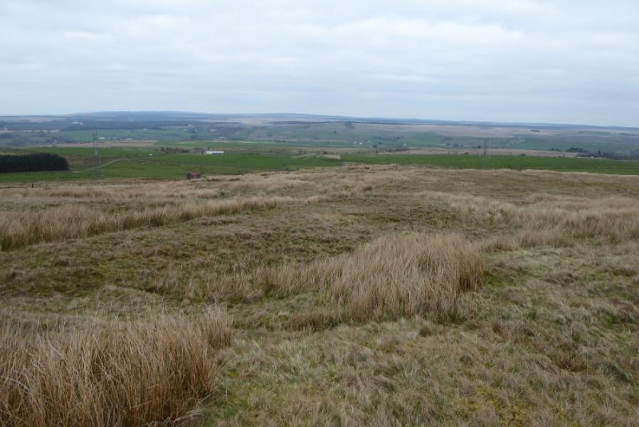
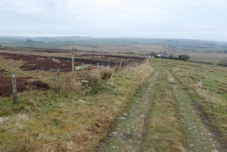
There is much featureless boggy,high moorland on this section of the Pennine Way which can considerably slow progress. The route is reasonably well signposted apart from a few places. The busy A69 has to be crossed and this is quite dangerous with very fast traffic and no central reservation to make the crossing safer.
Route
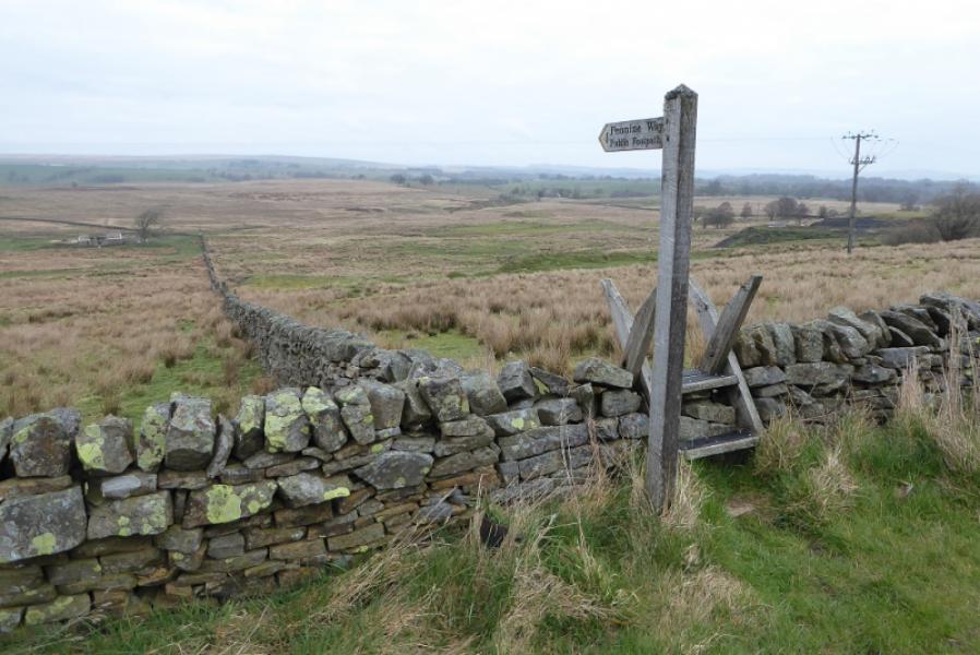
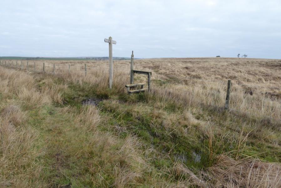
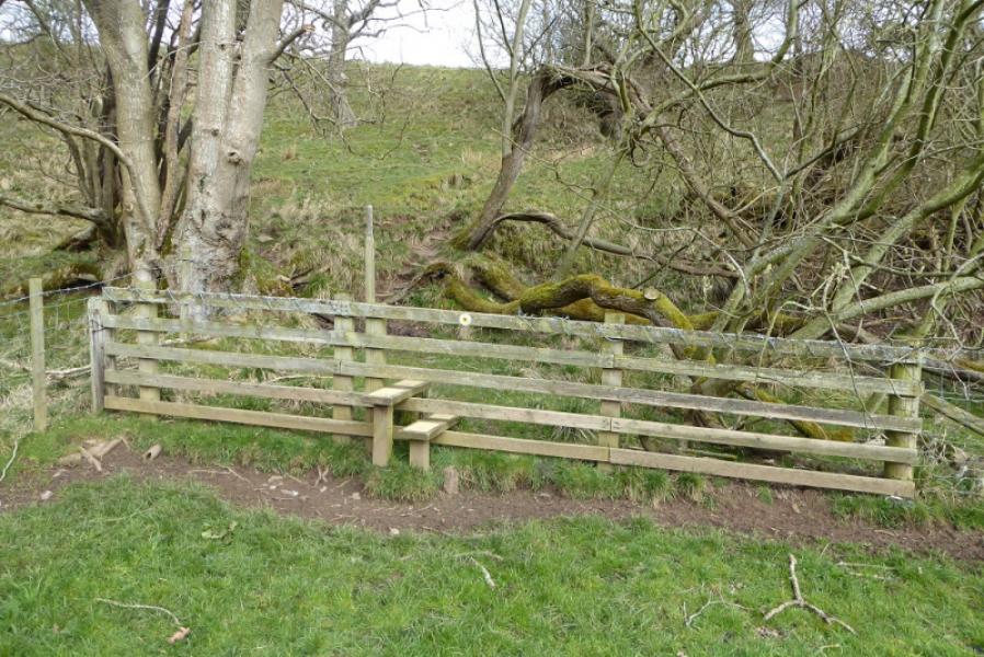
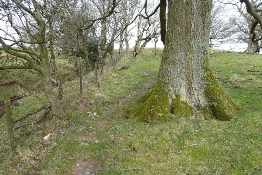
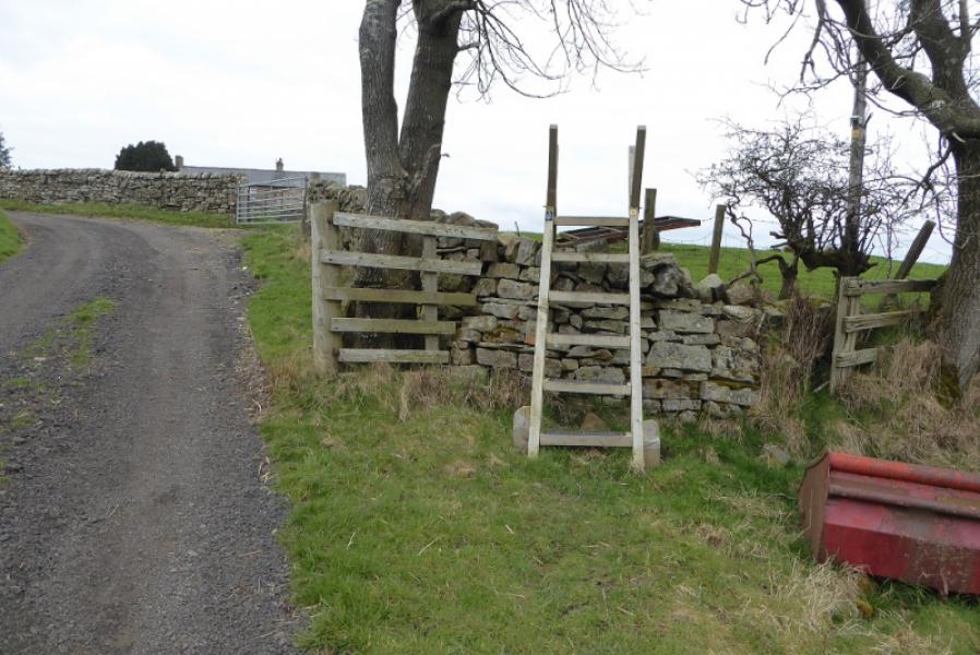
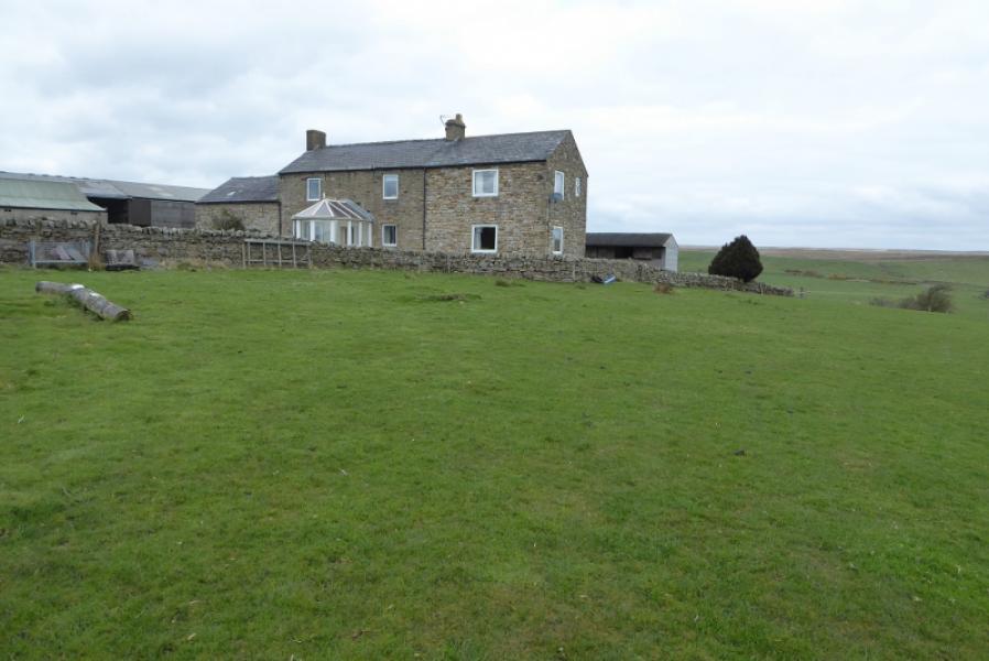
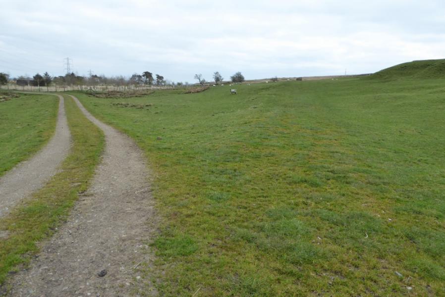
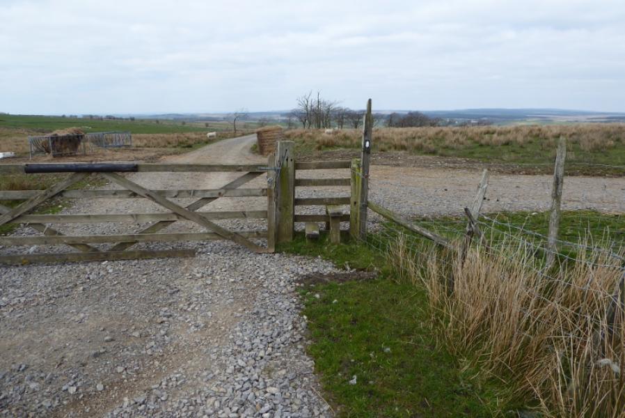
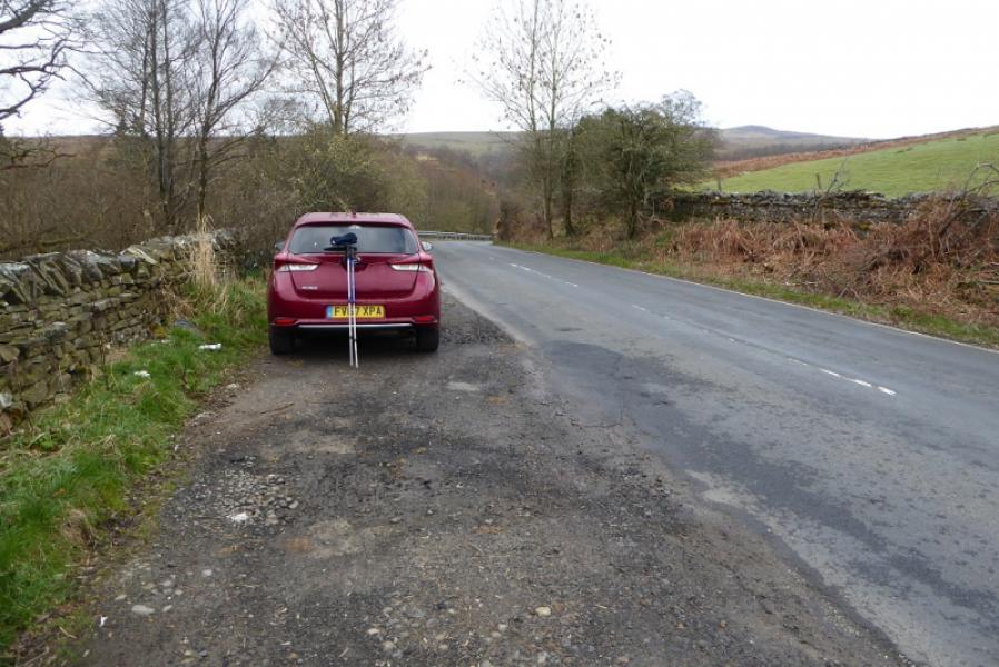
(1) From the parking space just N of the Glendue Burn, cross over and go over the stile then head up to join the route at the stile on the stone wall above. From there, the path goes roughly NNW and is fairly easy to follow with some stiles and a few wet, mossy sections. When the path starts descending from Lambley Common, look for the Pennine Way going left over a stile. Follow this past a marker stone and continue on a fairly well defined grassy path. The Pennine Way is supposed to leave this path and head directly for the road but there is no sign of a path. If clear, look for a barn without a roof across the road and head for that to meet the road at right angles. If you stay on the well defined path, you come to a gate about 100 m W of the Pennine Way signpost!
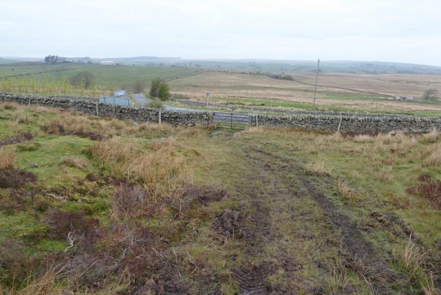
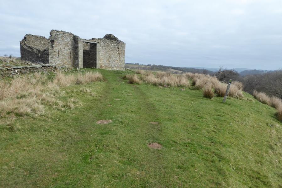
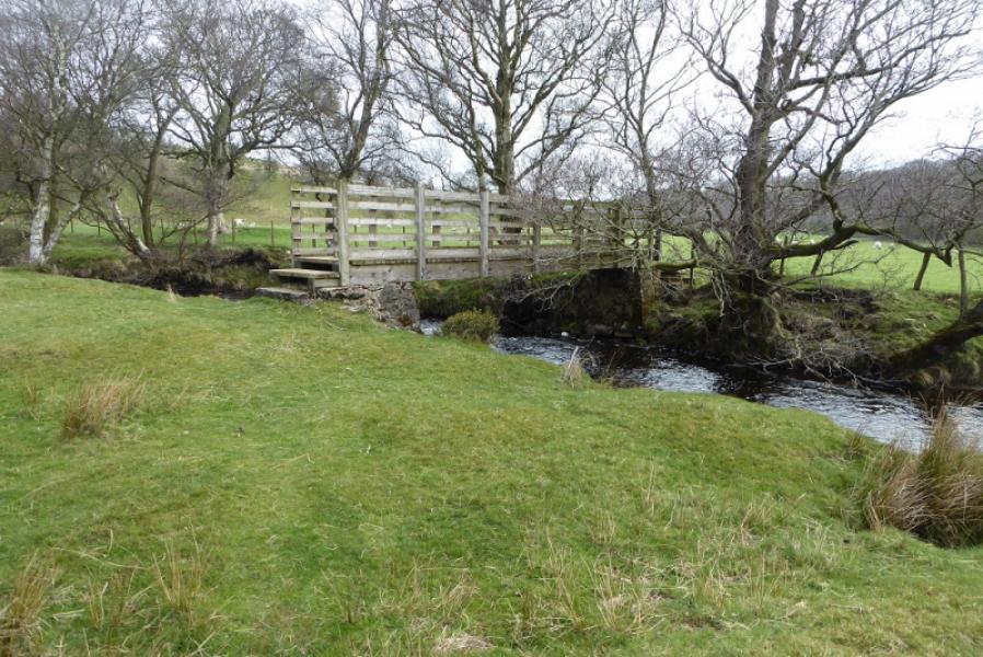
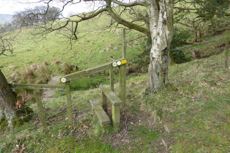
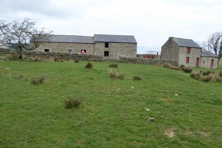
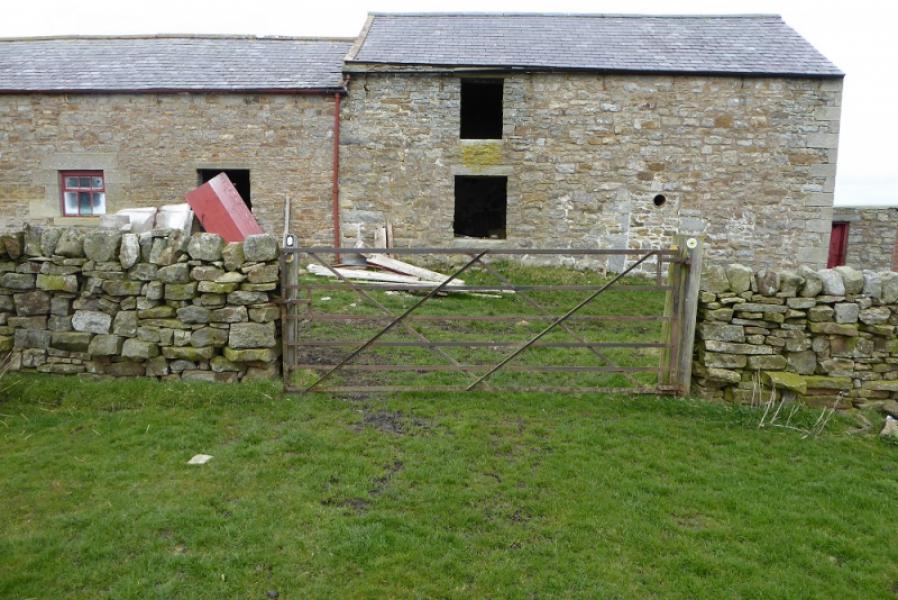
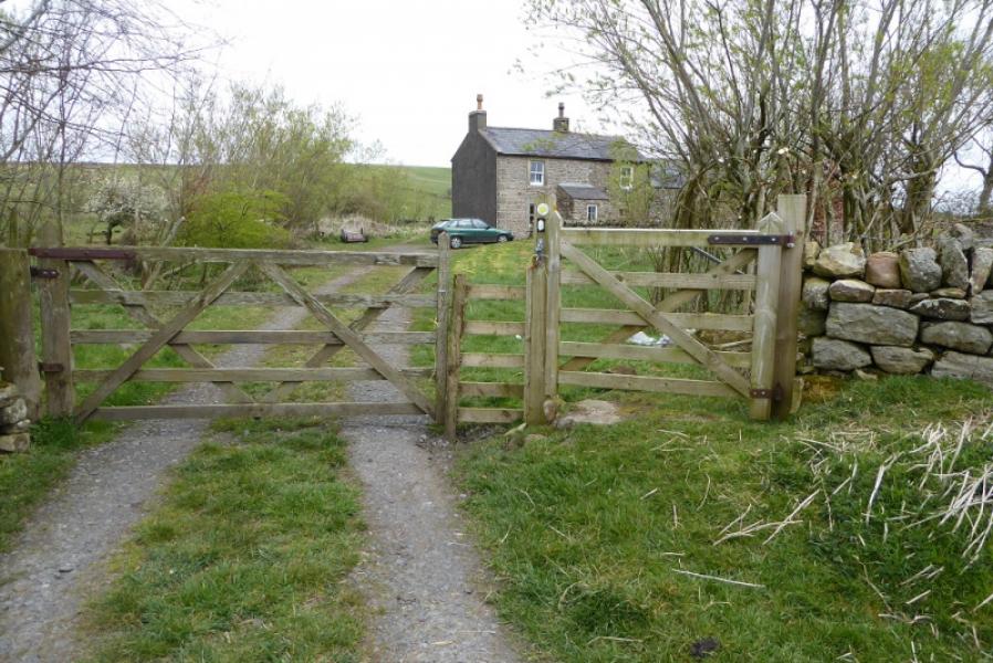
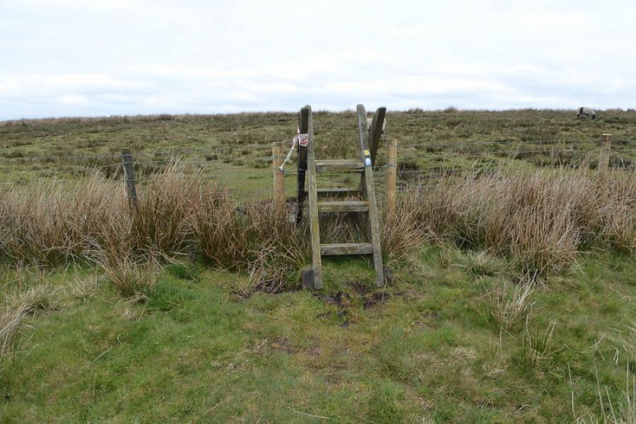
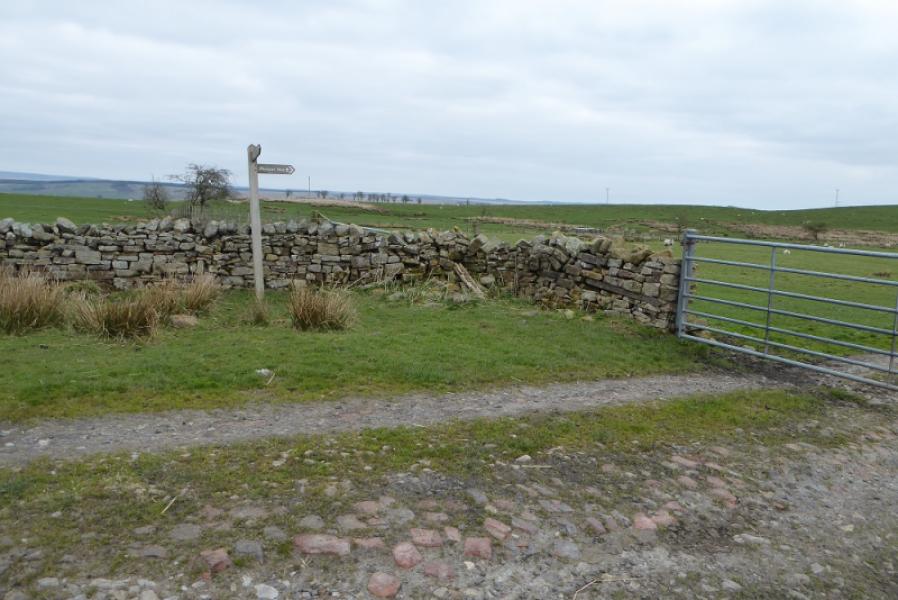
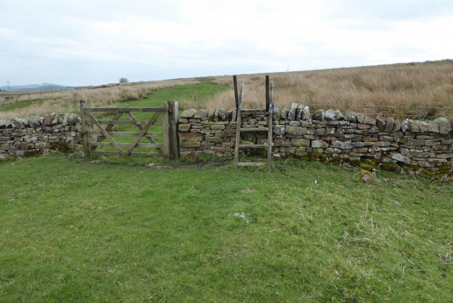
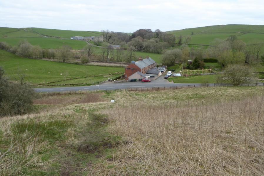
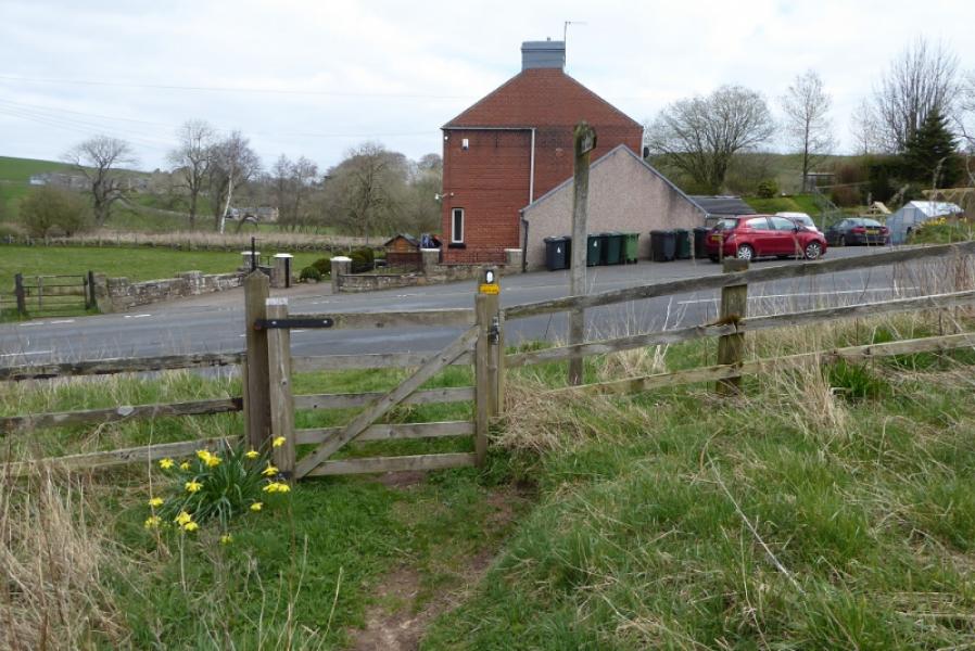
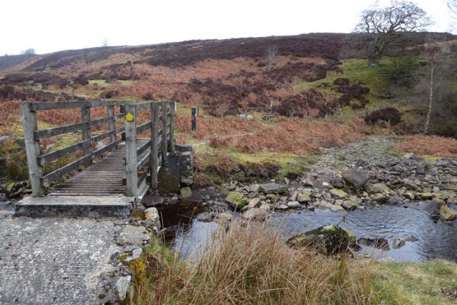
(2) Cross the road and go over the stile (signpost). The well signed path goes roughly N to reach High House, a large ruin, after crossing a small burn. Continue along the high bank of the burn to reach the footbridge across the Hartley Burn then turn left to reach a stile then ascend the bank. Follow the signs then cross a deep cut burn where there is no path or sign after crossing! Follow the fence/wall on the left to reach Ulpham Farm. Go through the farm and onto the lane then, just before Batey Shield, go over a stile and pass behind the house. Descend towards a minor road just after a footbridge.
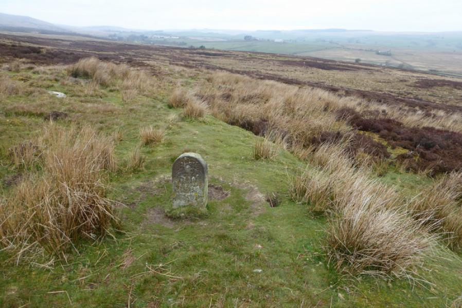
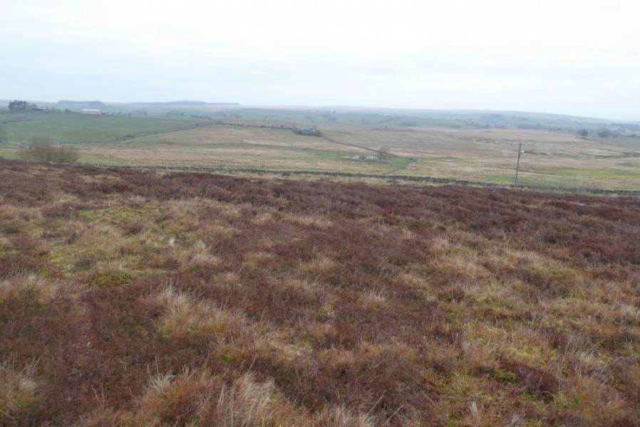
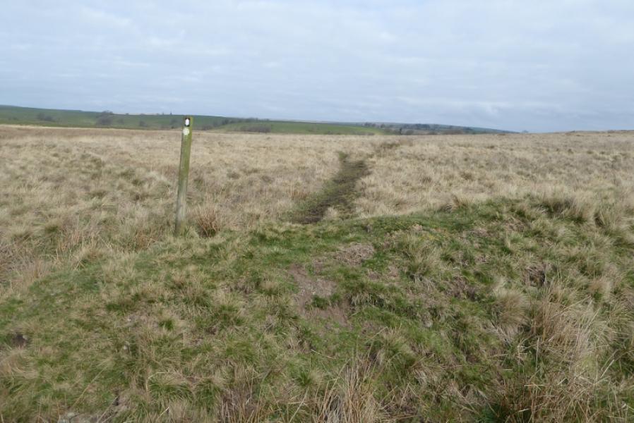
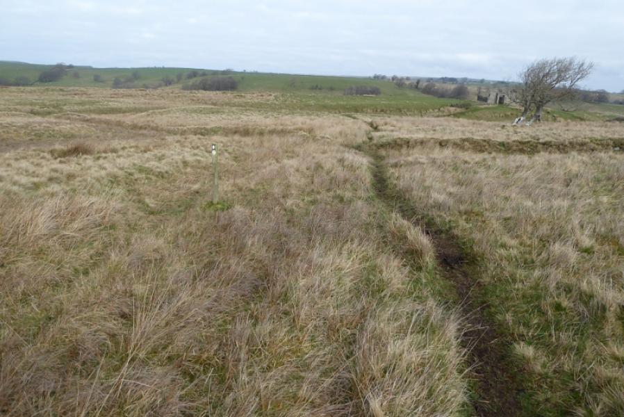
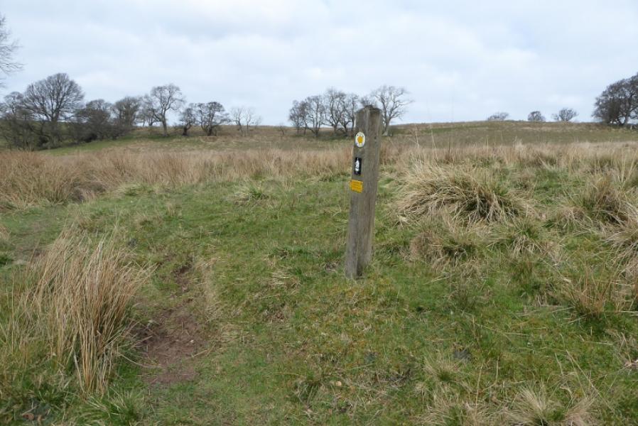
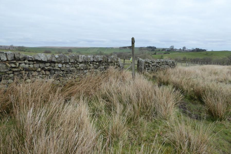
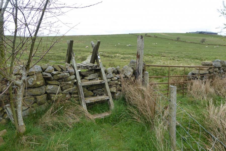
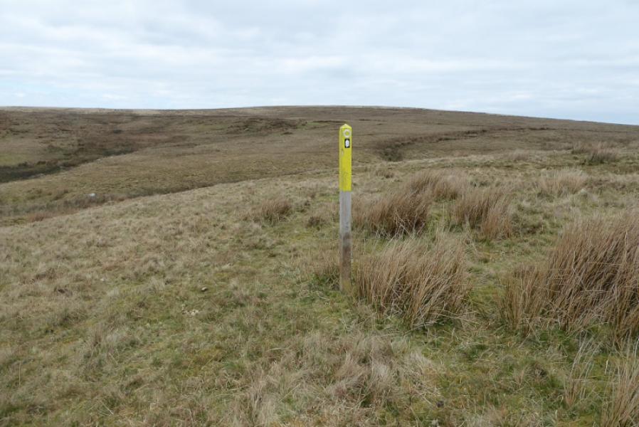
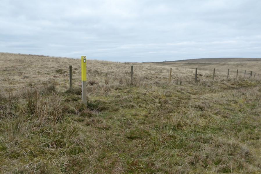
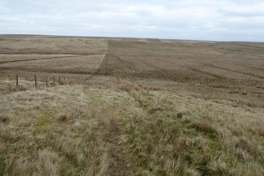
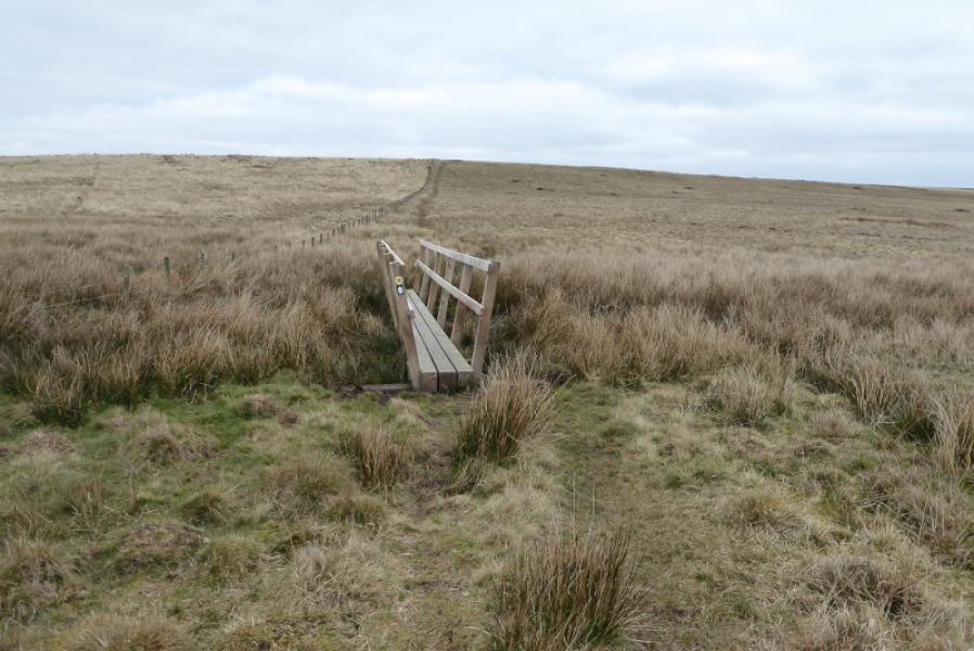
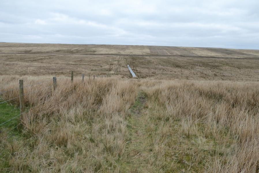
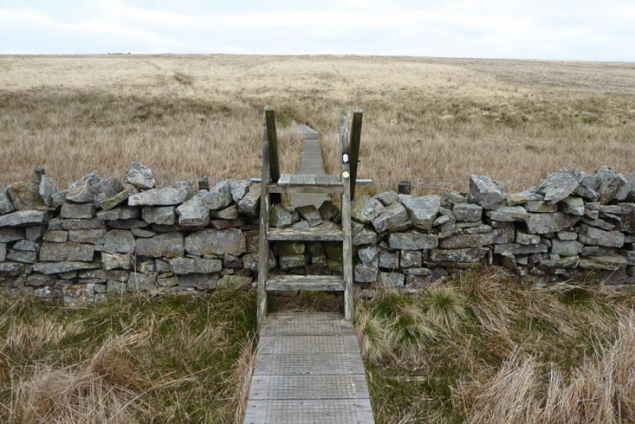
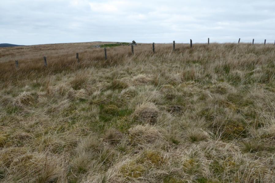
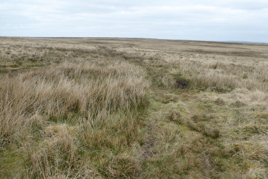
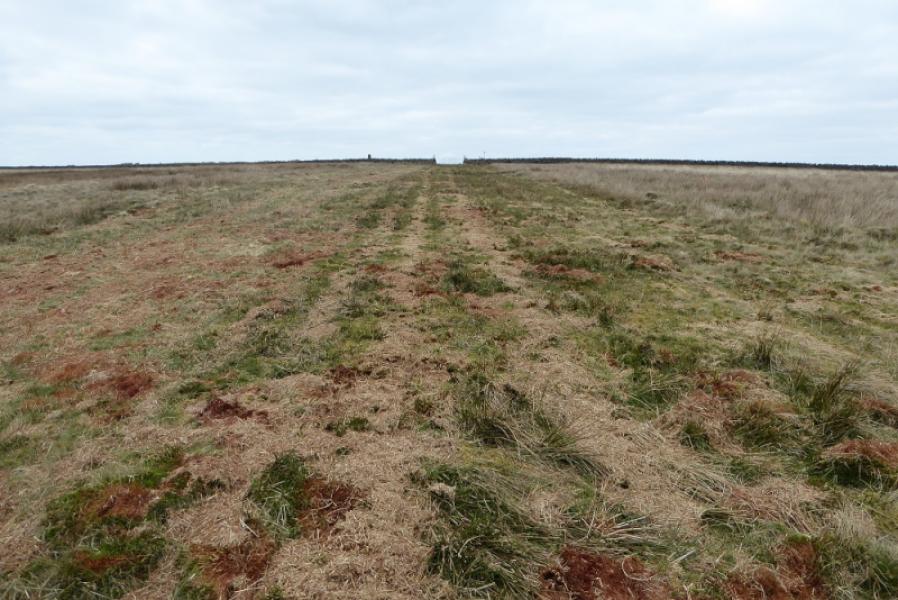
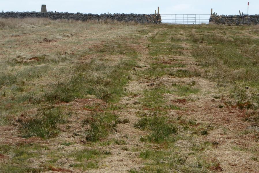
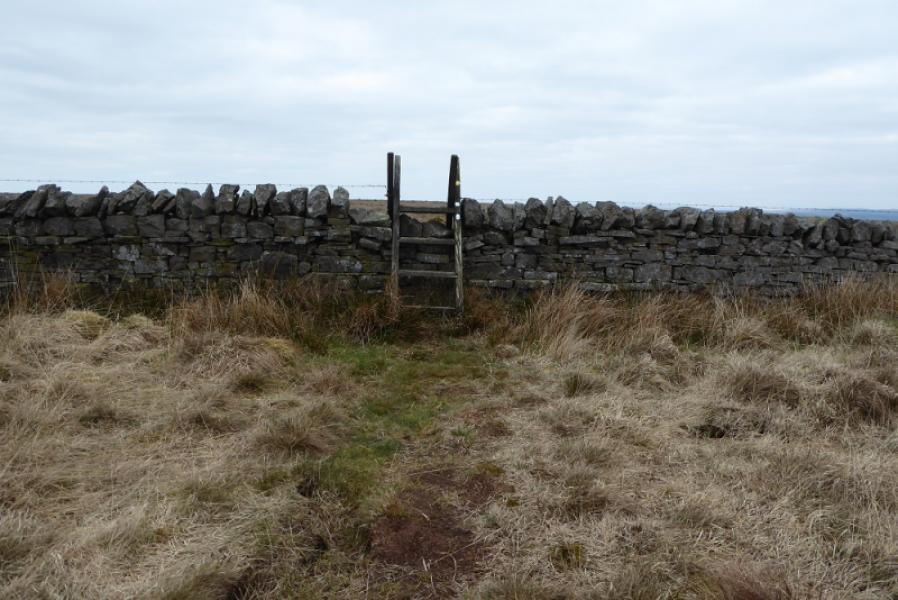
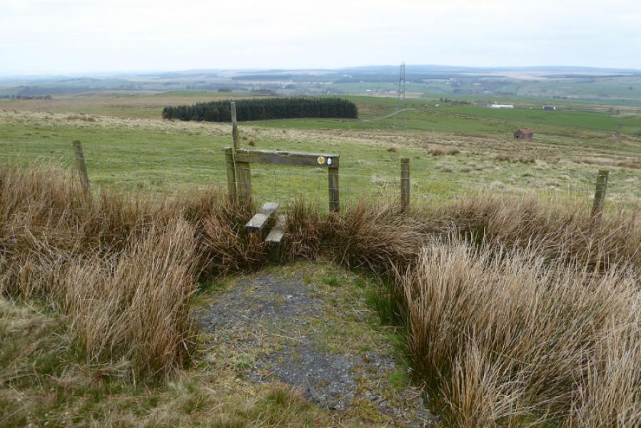
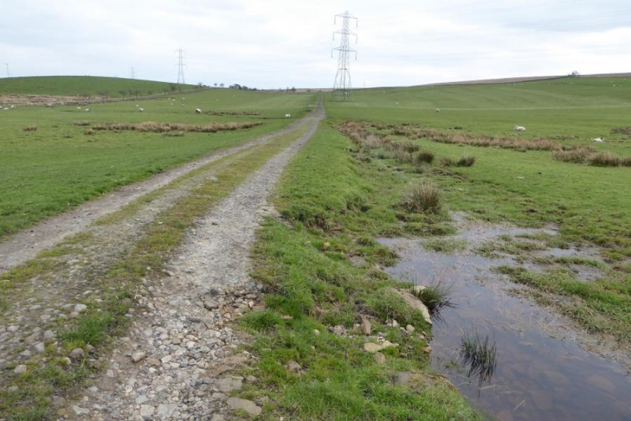
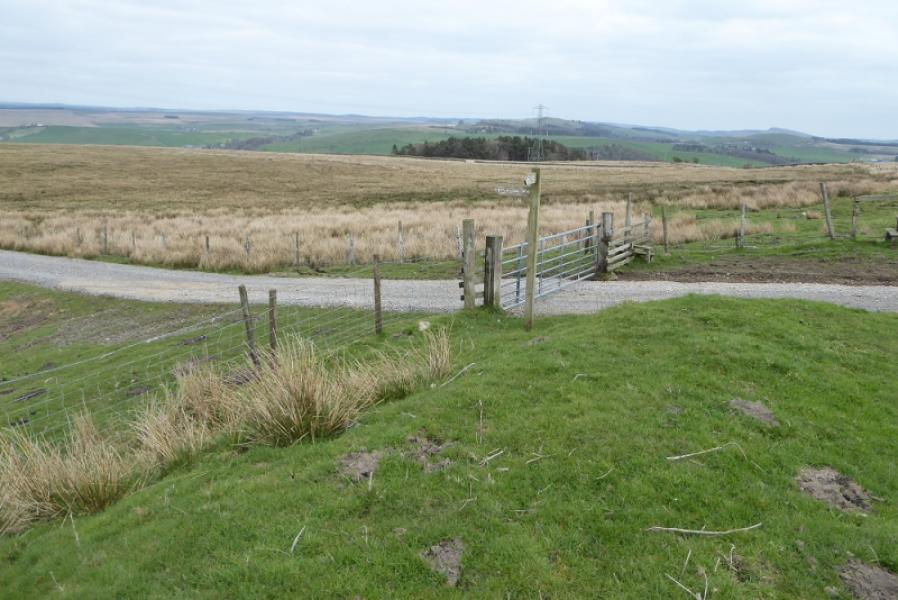
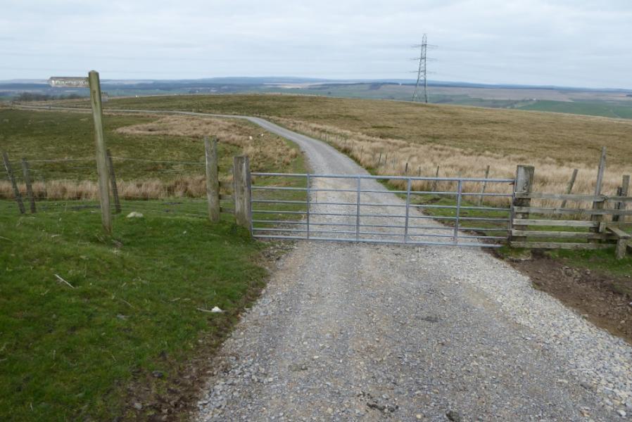
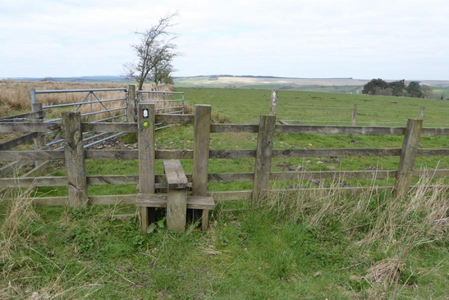
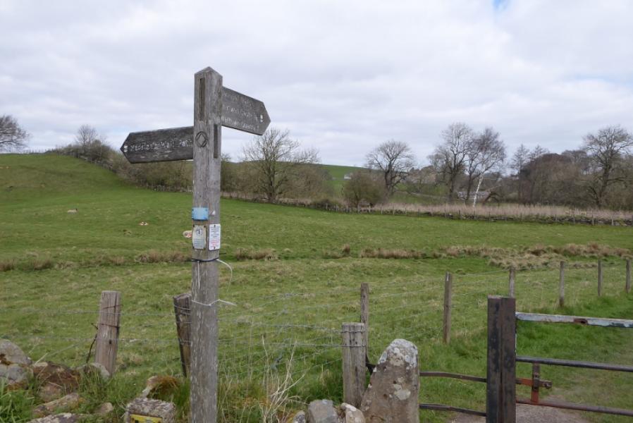
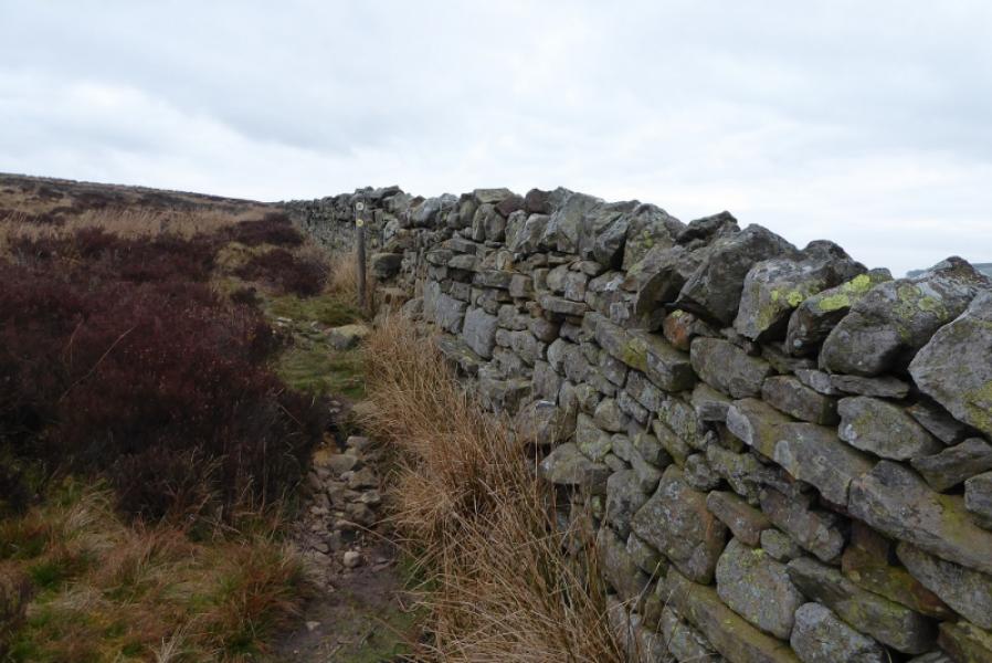
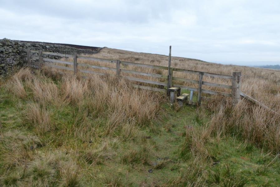
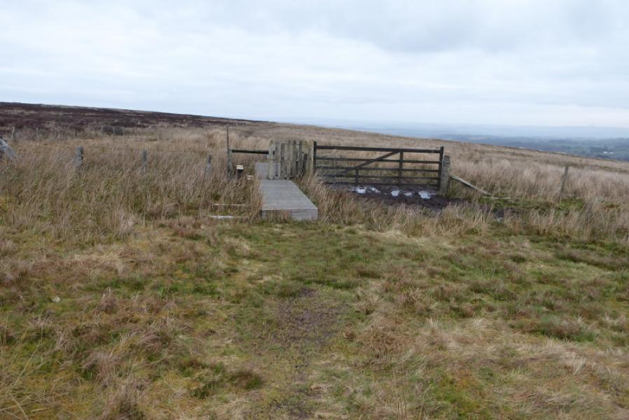
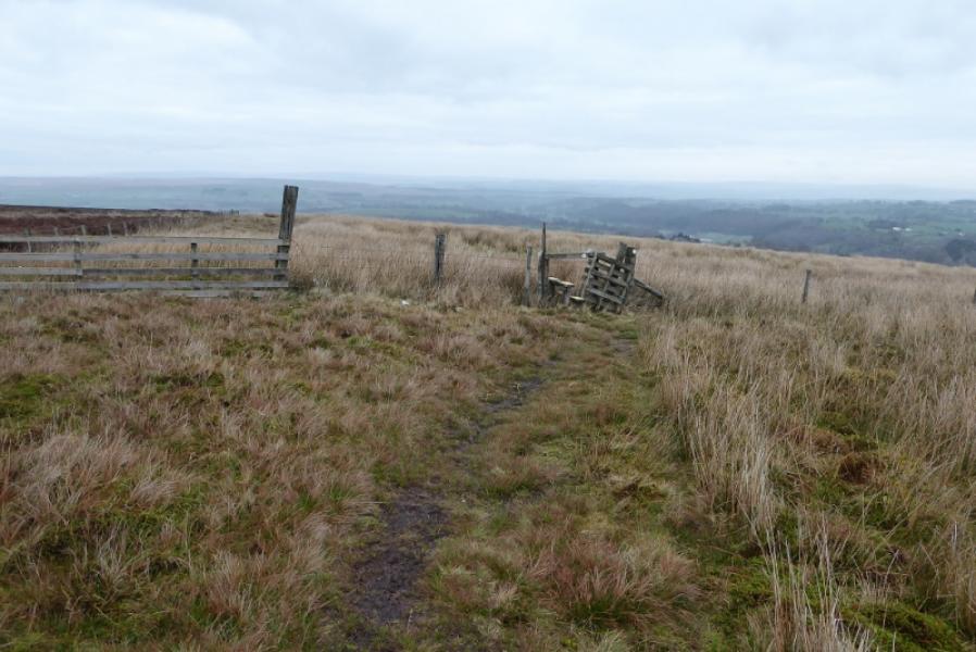
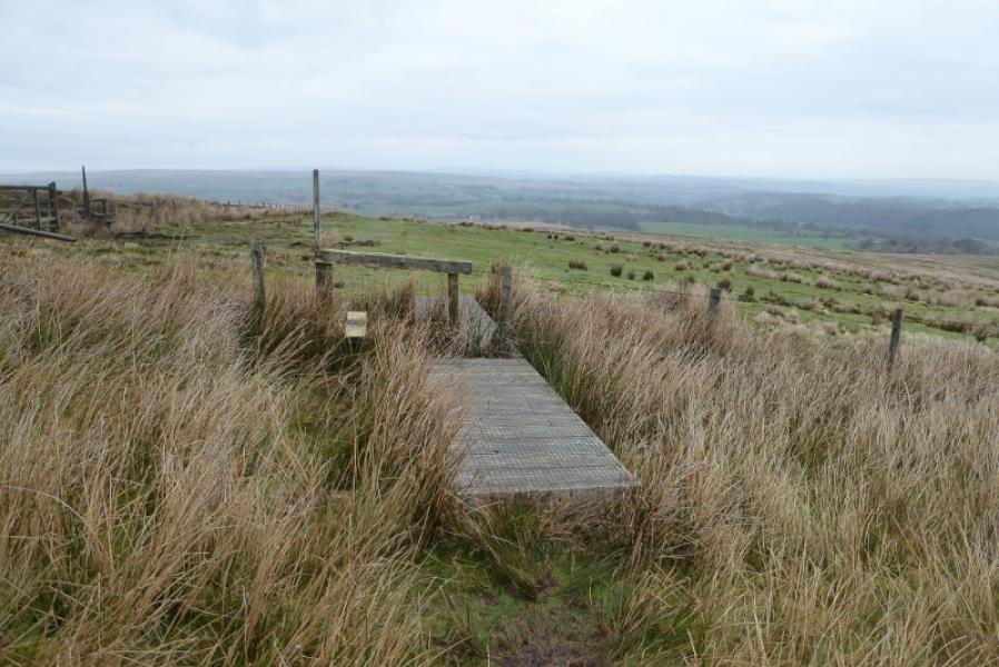
(3) Cross over and take the track to Greenriggs. Pass to the left of the house and exit the grounds by a stile. Continue uphill to cross another stile to the W of Highside. The next section is very featureless so go carefully. There is a path at first then a sort of diagonal crossroads where one can fork left and head roughly W. Look for a post with a yellow top as it is the only marker on the open moor. In clear weather a fence running N will be visible so head for this. The Pennine Way actually meets it at another marker post. Follow the fence N over some wet and mossy moorland. A cairn ahead marks the Eadleystone but it is across the fence. Soon after, the fence turns left but continue onwards gradually converging with a wall. Pass about 100 m to the right of the trig point on Black Hill. Cross the wall then continue N on a faint path to reach a stile. Continue down to meet a track where the Pennine Way turns E. Follow the track but go straight on when it bends left and follow a grassy strip past a small ruin to a stile. Continue, with some meandering, to reach a track (signpost) which goes left. Follow this down to the very busy A69.
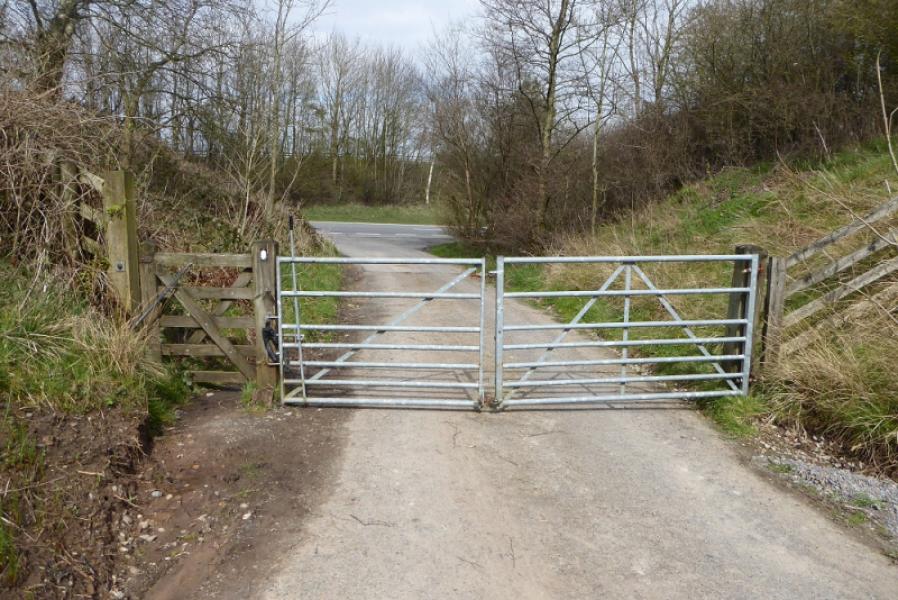
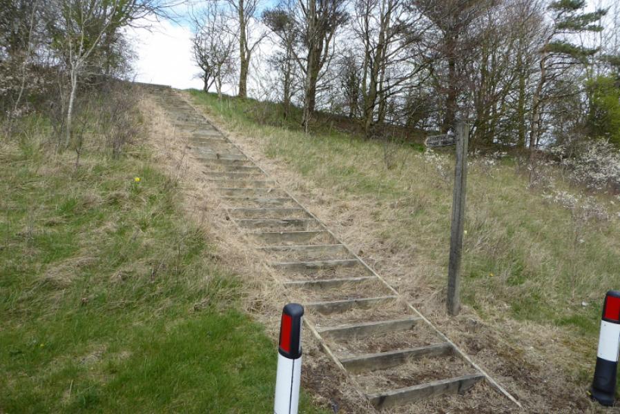
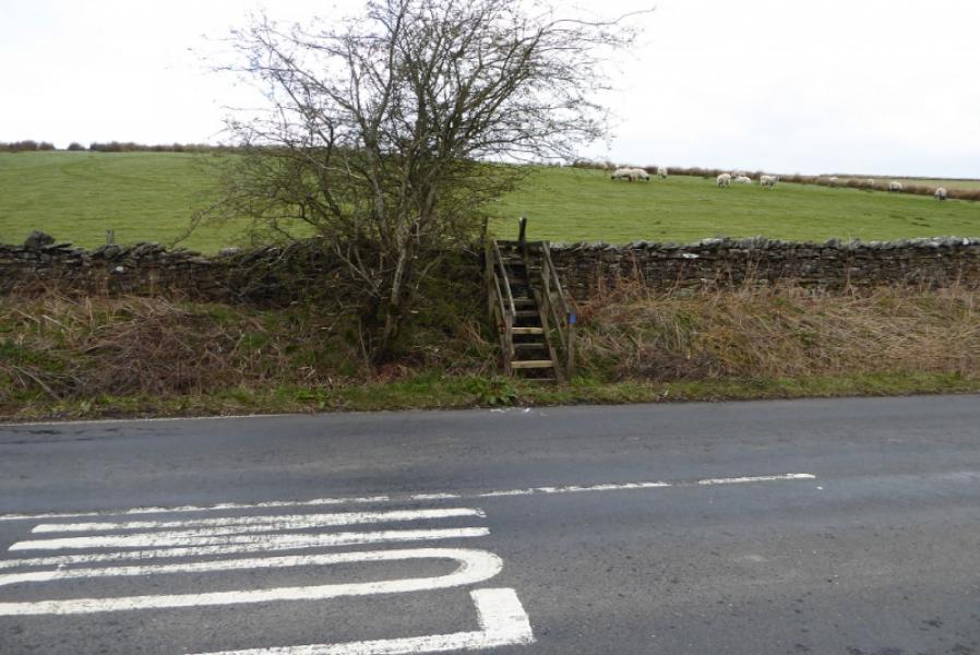
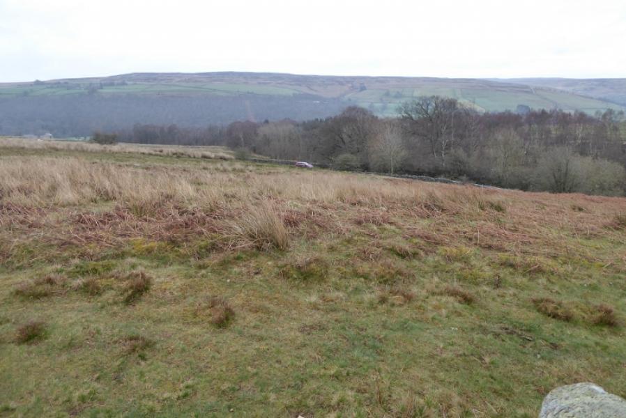
(4) Cross over and go right a little then up some steps. At the top, go diagonally across a field then follow the wall over stiles until a sign takes one into the golf course. Signage isn't that good on the course so follow a straight line and eventually drop down a steep and slippery path to the road opposite a row of end on cottages about 600 m N of Greenhead village. If continuing cross the road and follow the signed path.
Notes
(a) This route was walked on 10th April, 2019.
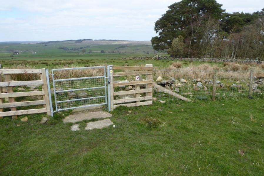
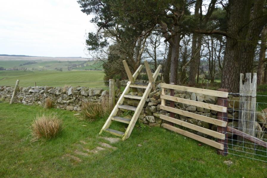
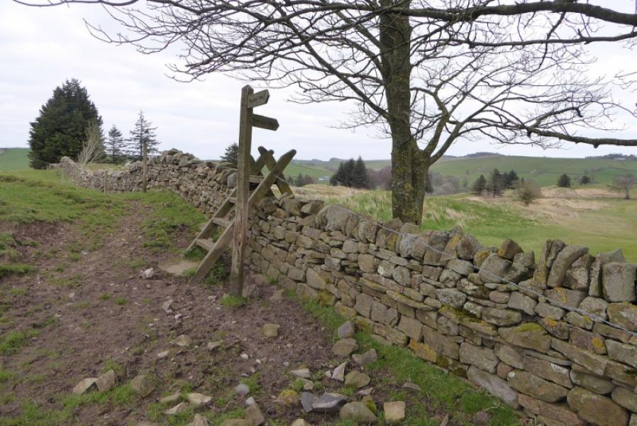
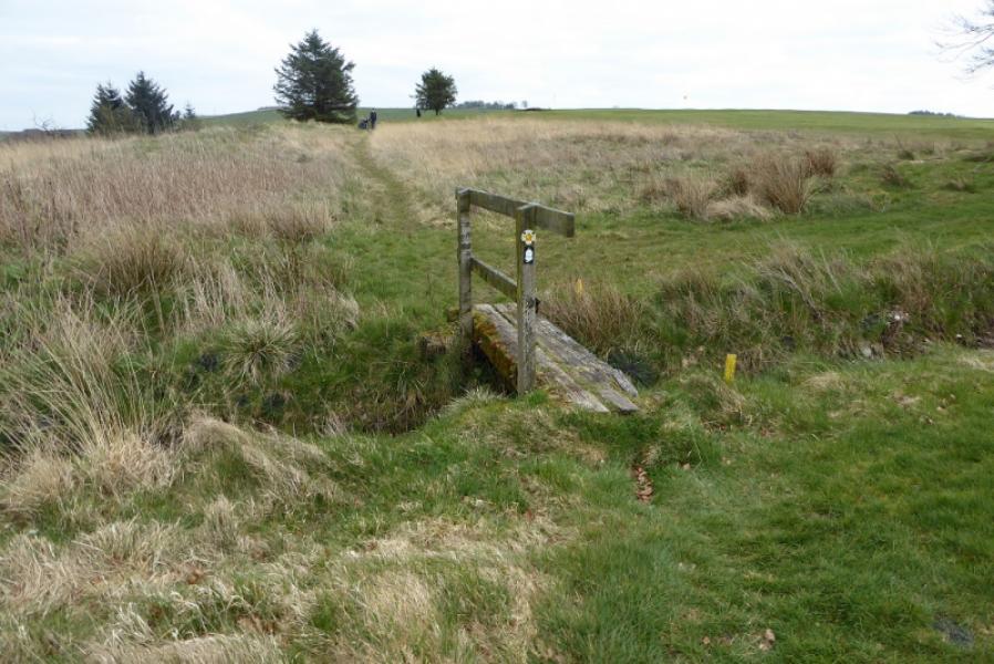
Photos - Hover over photo for caption. Click on to enlarge. Click on again to reduce.