Get Lost Mountaineering
You are here: England » Pennine Way » 5. Dufton to Bellingham
3. Alston to Glendue Burn
3. Alston to Glendue Burn
Start/Finish
Alston, either at the Youth Hostel or the bridge over the South Tyne below it. The finish is at Glendue Burn, A686, about 2 miles south of Lambley. which some may find unusual but it fitted well into the other plans for the day in question
Distance/Time
13 km. About 4 hours.
Peaks
No peaks as such but the highest point is about 280 m in various placesl.
OL31 North Pennines. OL 43: Hadrian's Wall. Both maps needed.
Introduction
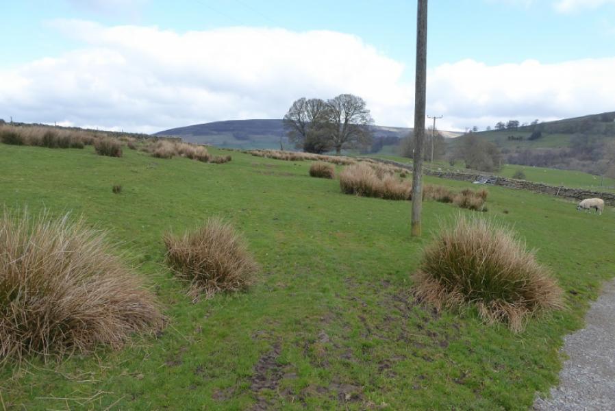
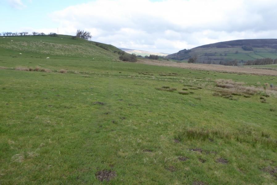
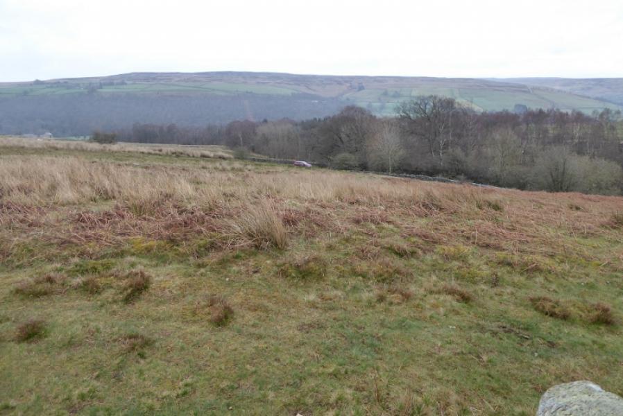
This is a very meandering section of the Pennine Way which adds much to the distance with considerable height gained compared to the South Tynedale Trail which follows the old railway. Signage is particularly poor in places and can cause much frustration. The route passes through an old Roman Fort (nothing left to see!) and generally follows the South Tyne Valley. There are no particularly outstanding views. The ground is generally okay with only a few wet patches.
Route
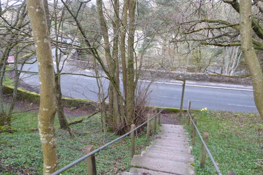
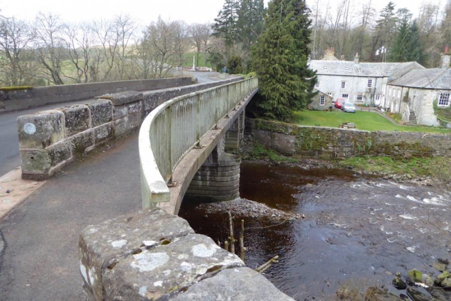
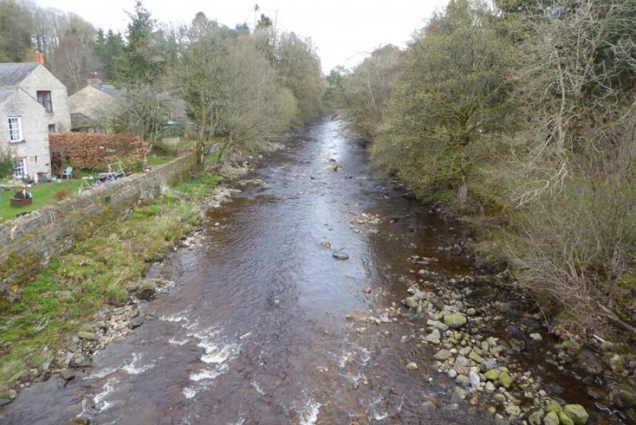
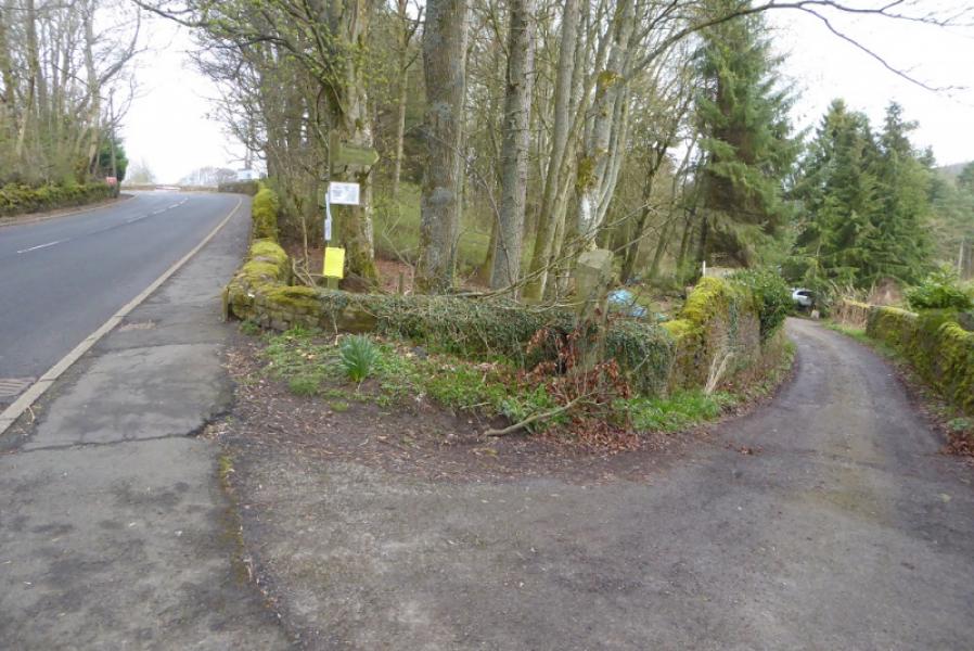
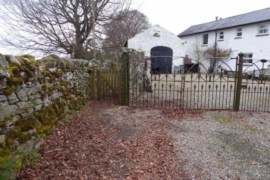
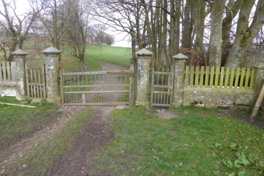
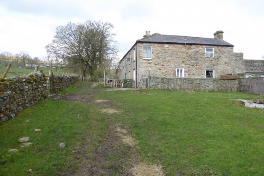
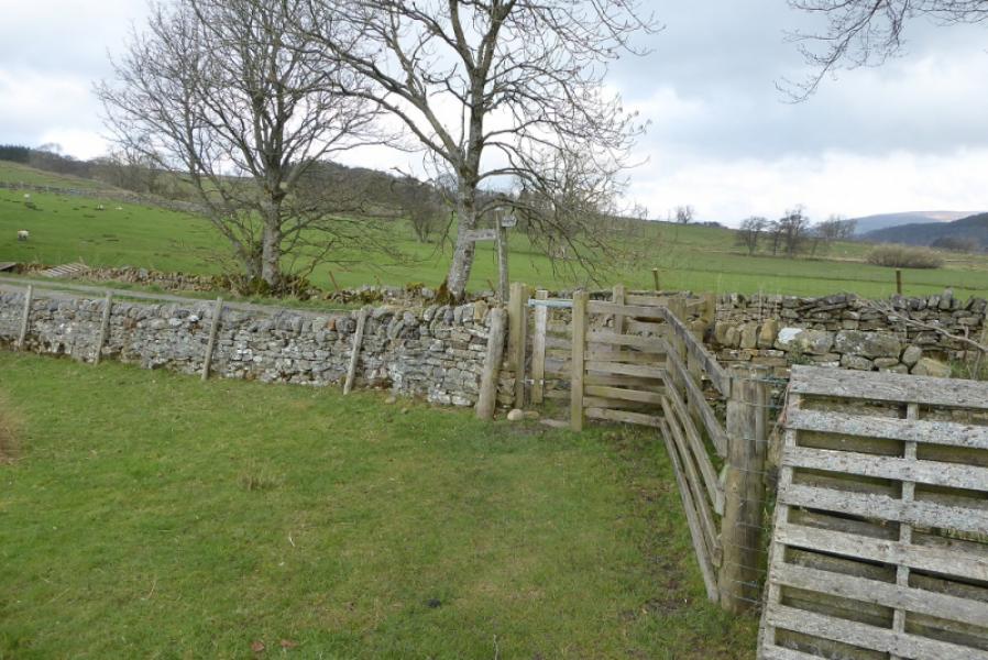
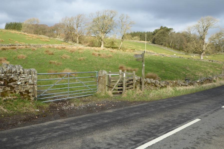
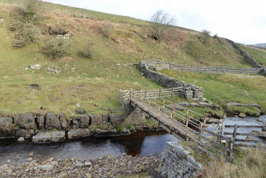
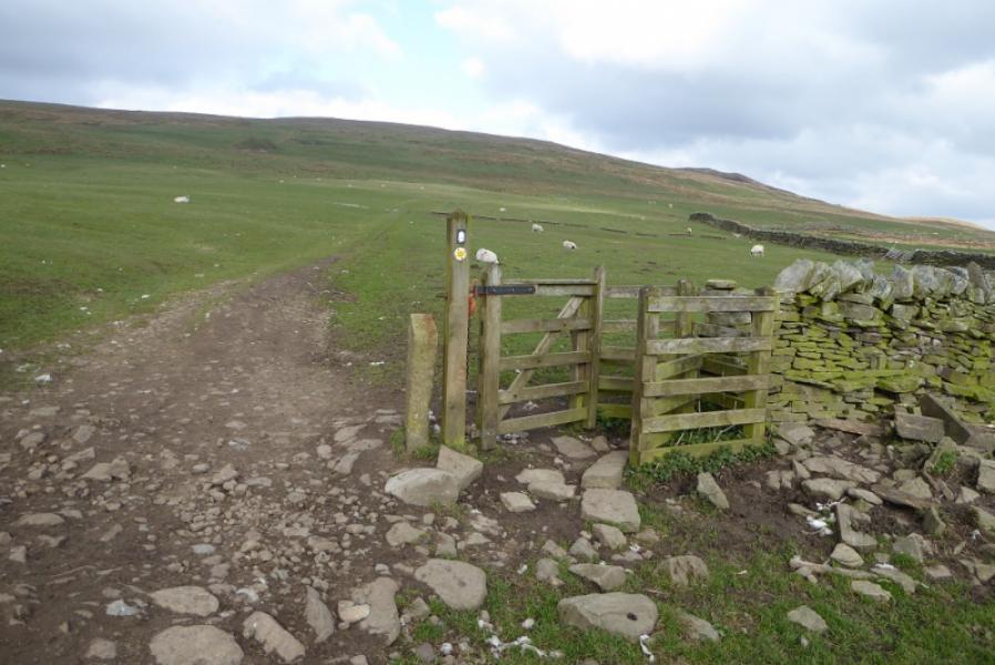
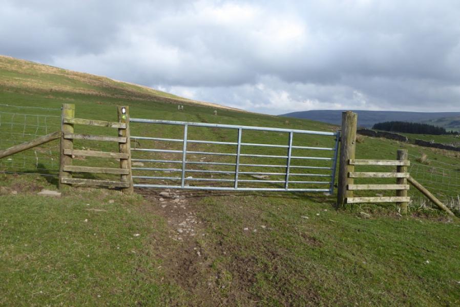
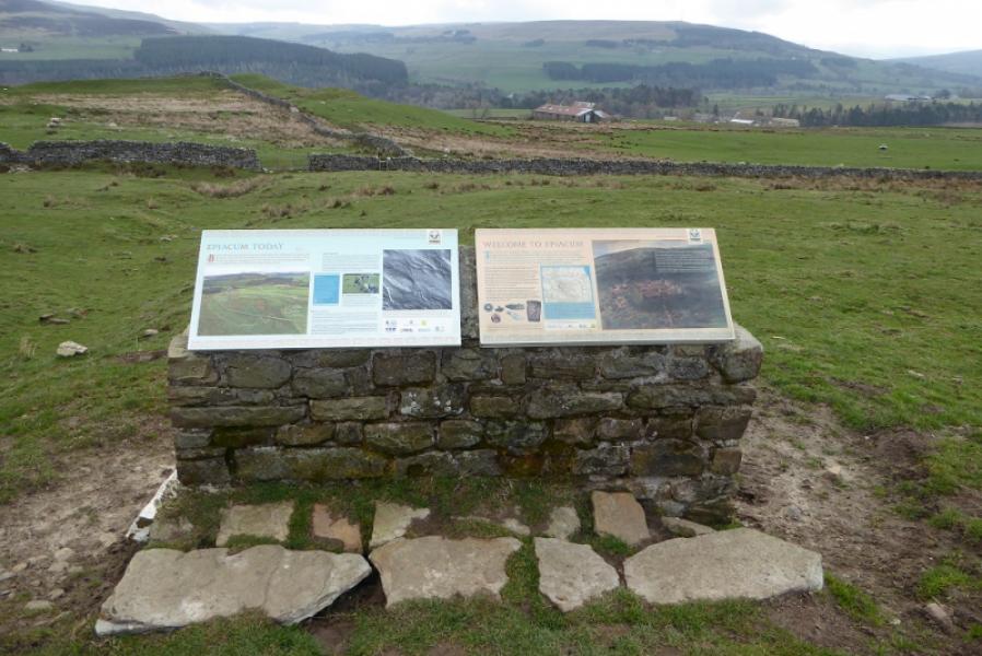
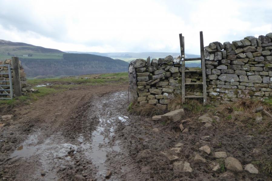
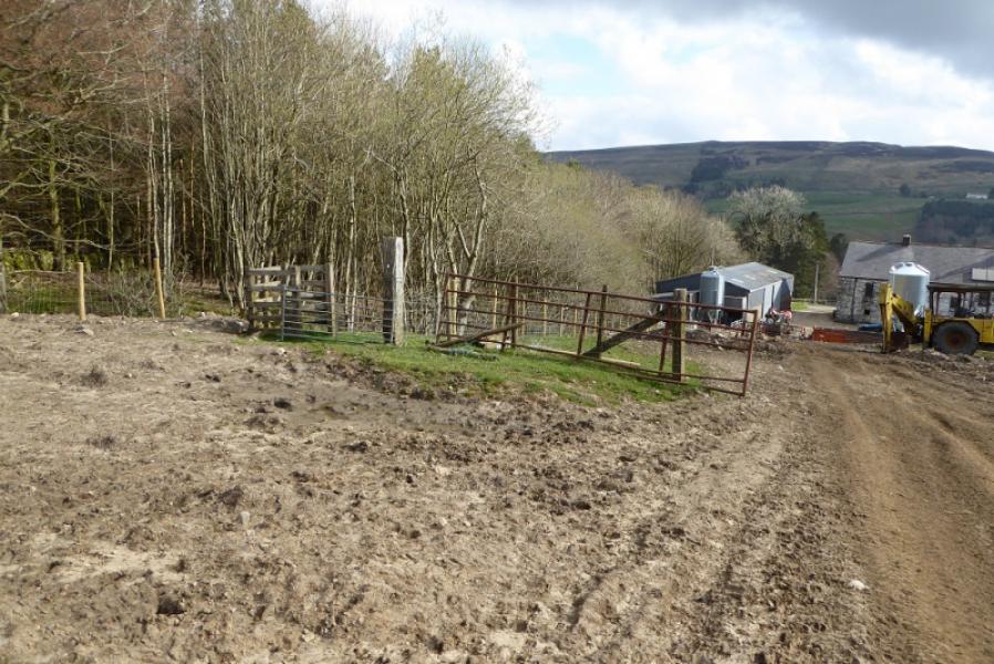
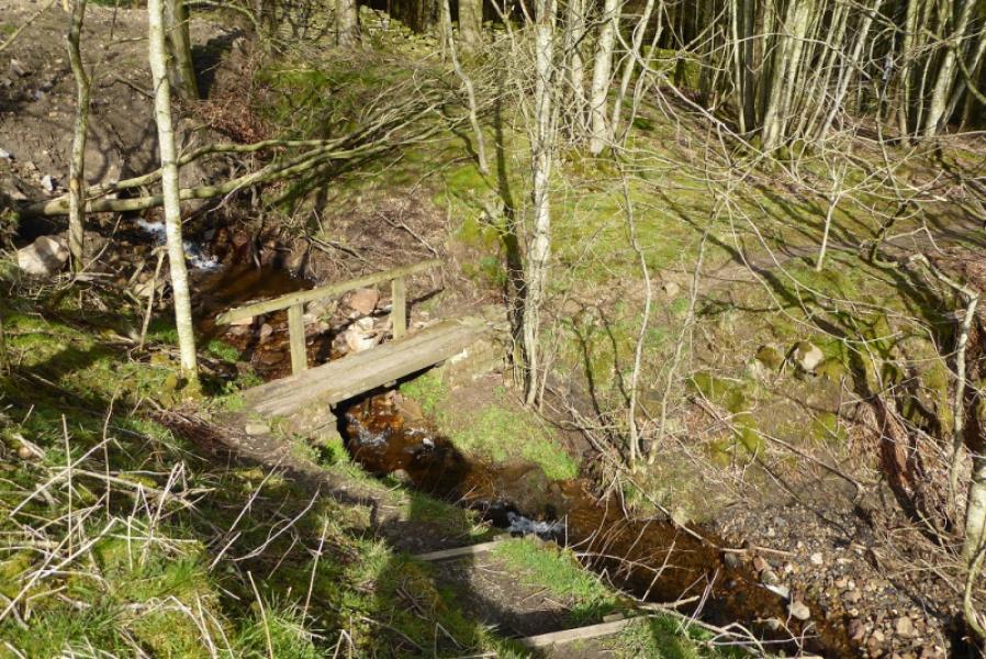
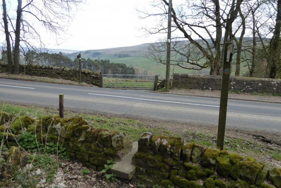
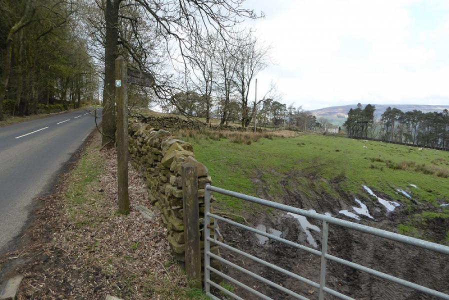
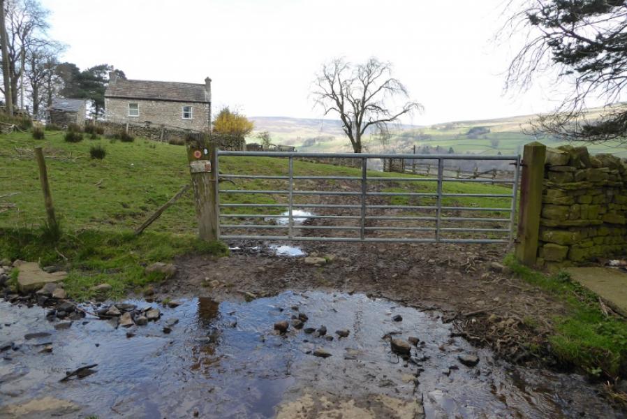
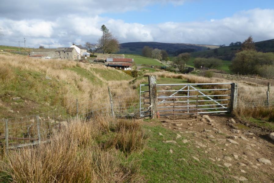
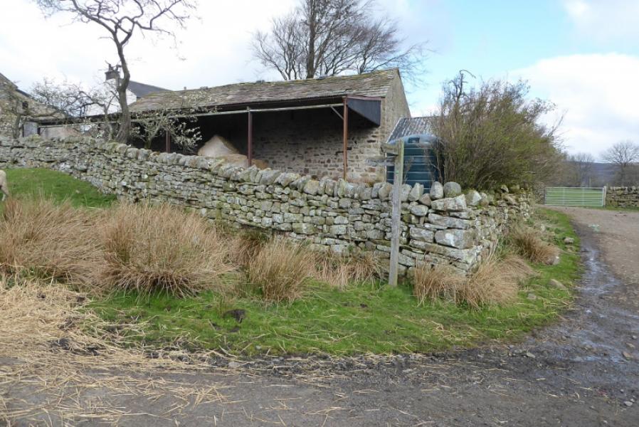
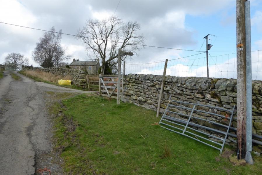
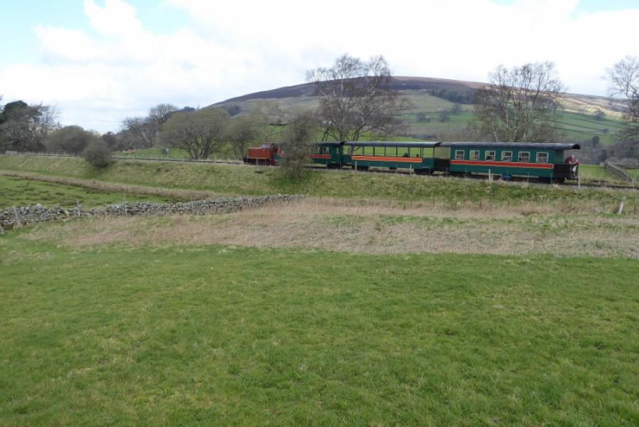
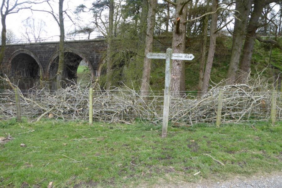
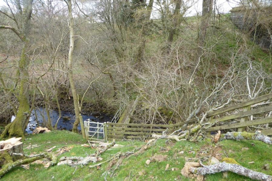
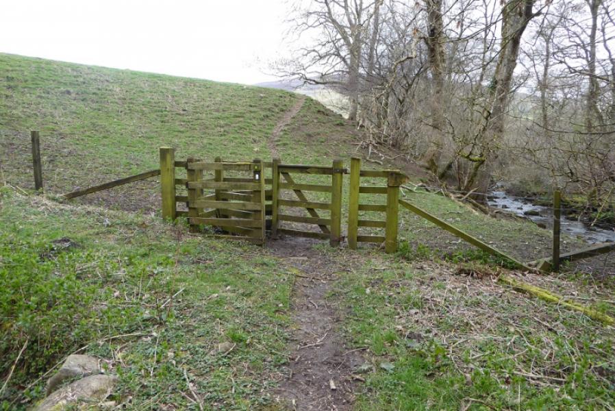
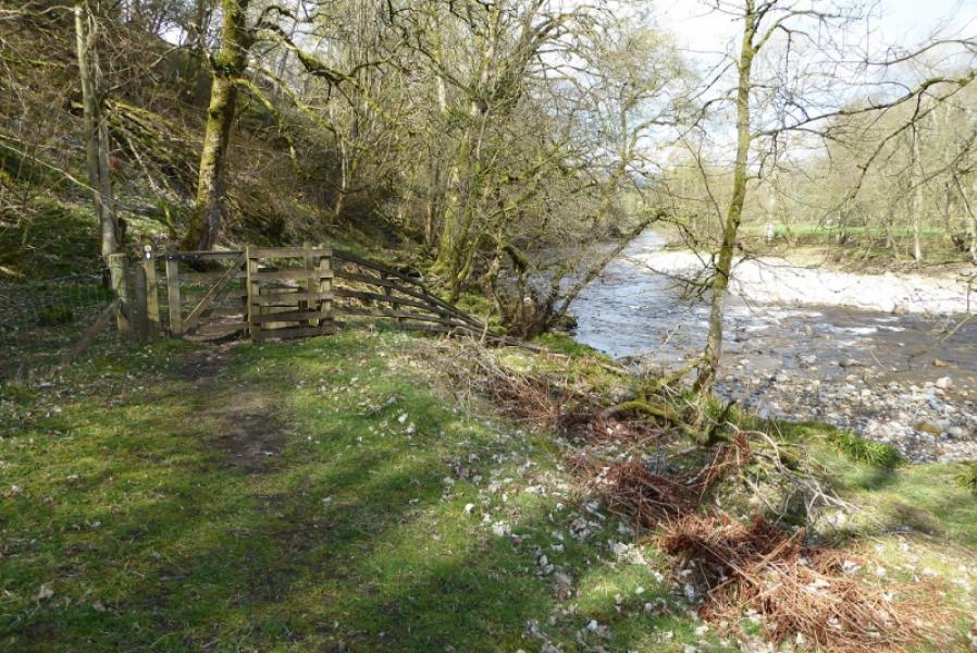
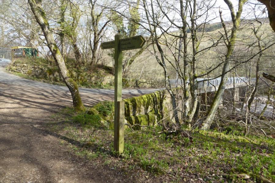
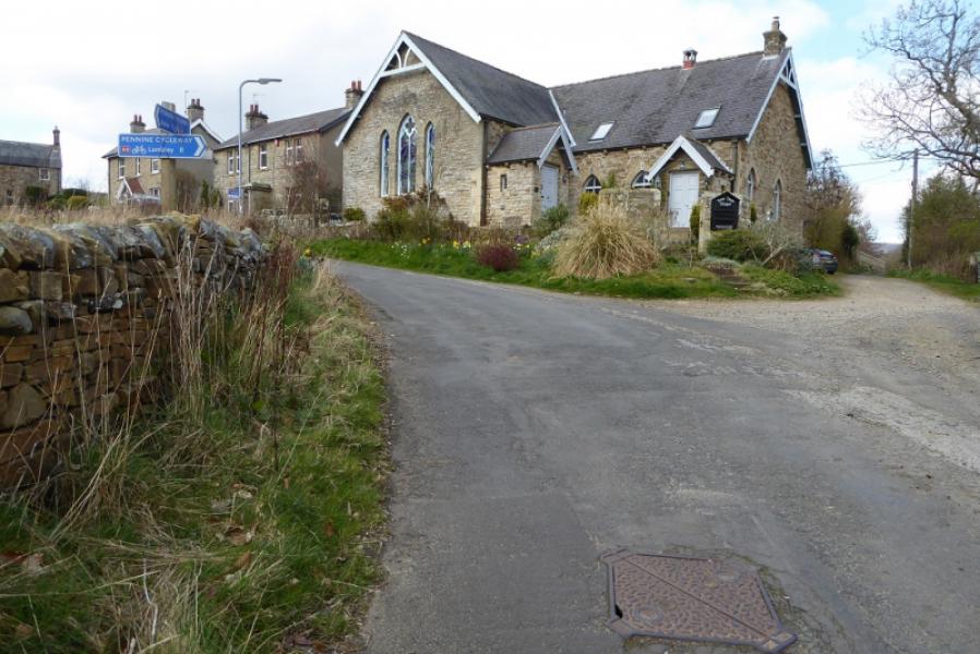
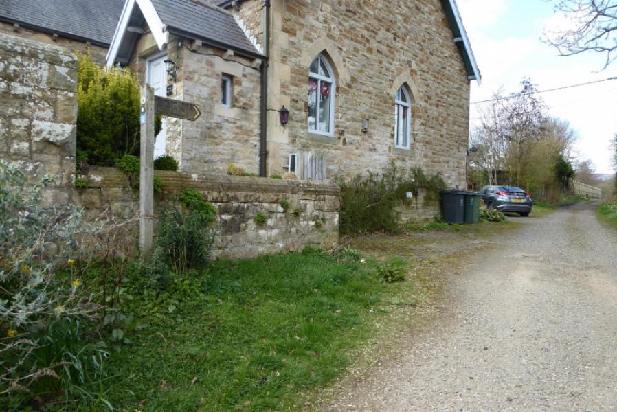
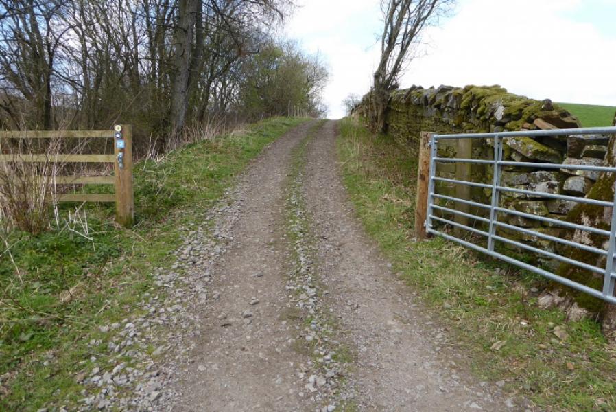
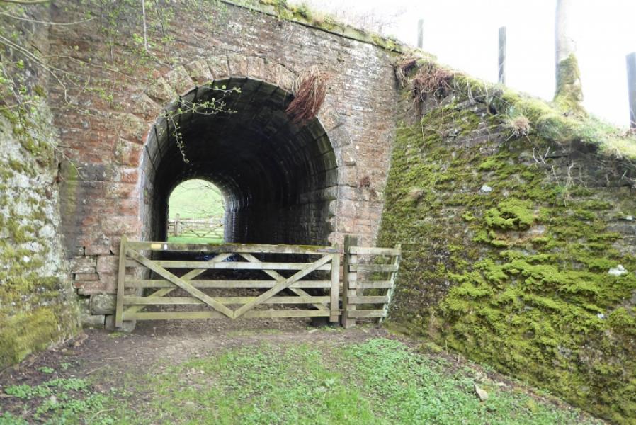
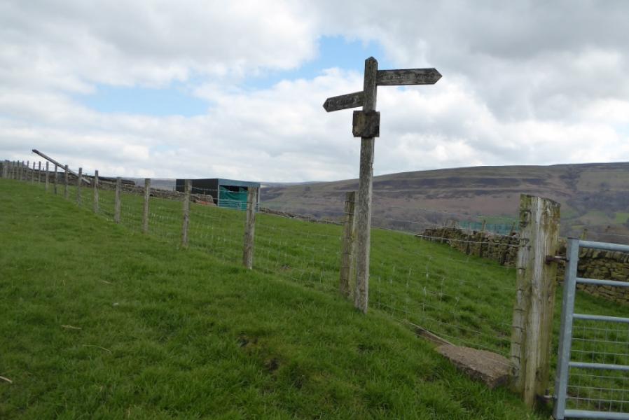
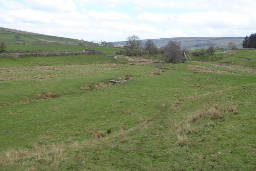
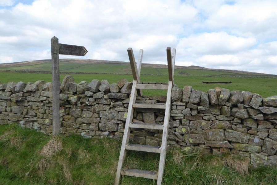
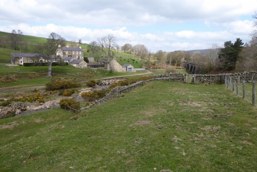
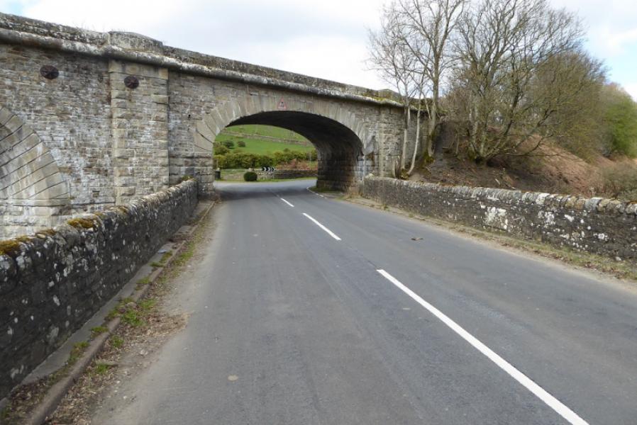
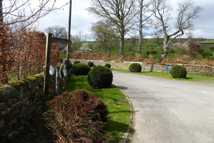
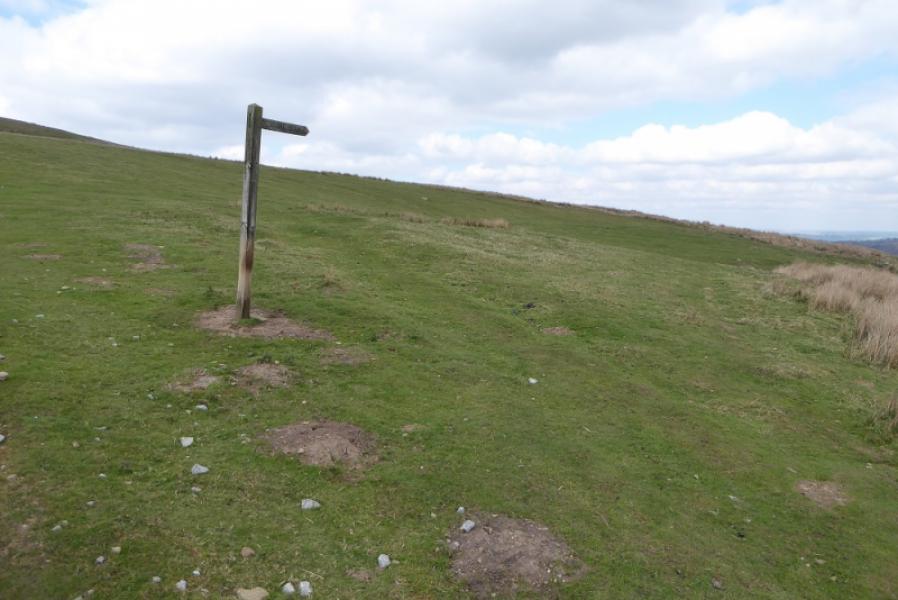
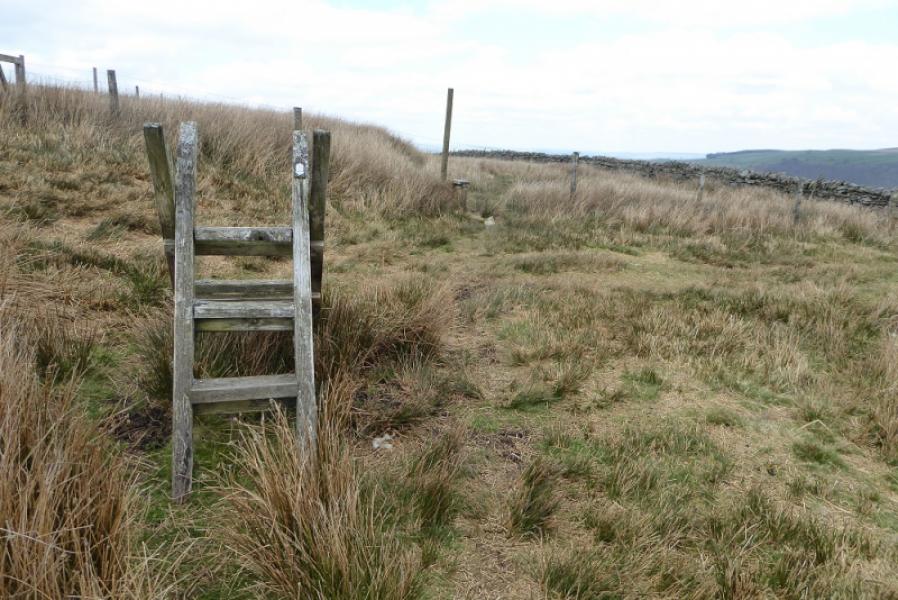
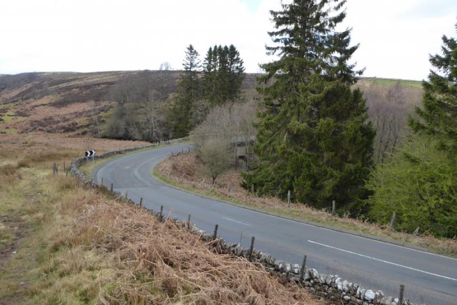
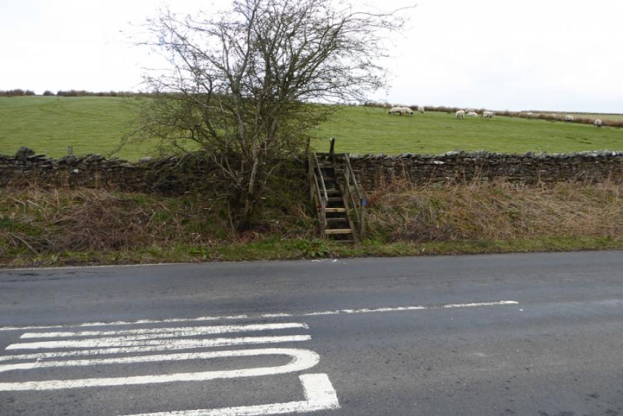
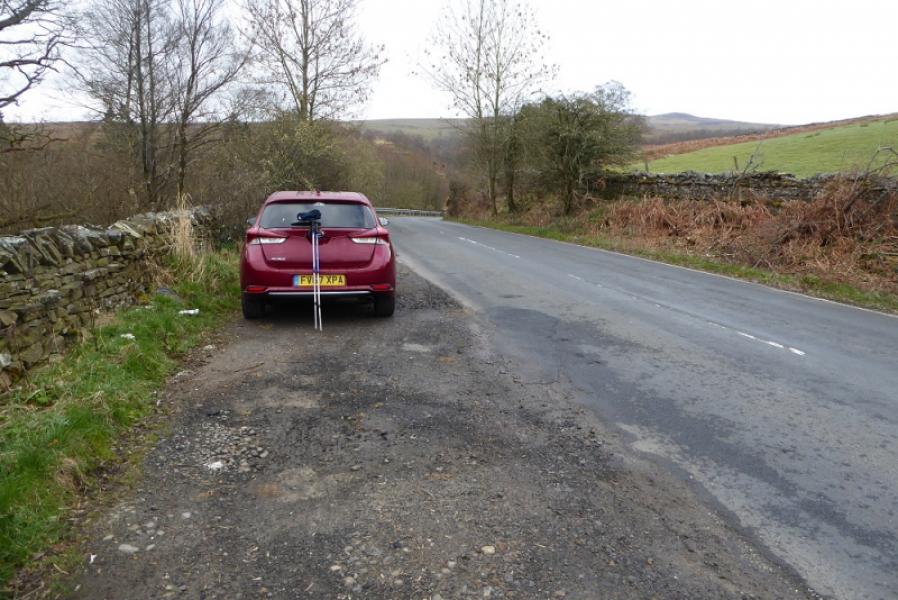
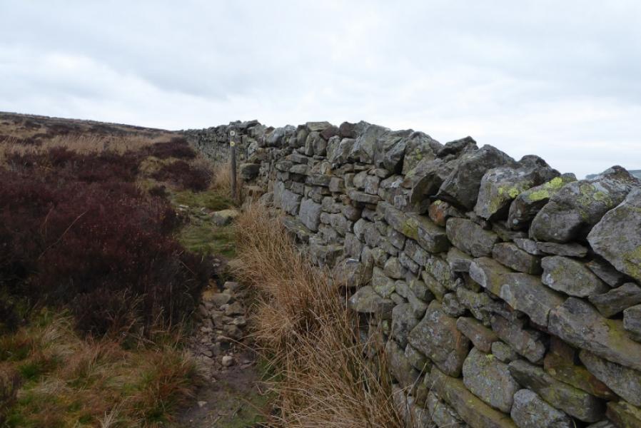
(1) From the Youth Hostel, walk towards Alston then drop down the steps (signed) onto the main road, A686, by the bridge over the South Tyne. Cross the bridge then go right, taking the A689 for Brampton. Almost immediately, fork right onto the Pennine Way. Follow the main track to a white house where the Pennine Way goes down the left hand side. Continue in about the same direction to reach the gates leading into Harbut Lodge. Turn left before the lodge and walk past some stone houses before turning right to join the track from Harbut Lodge which leads to the main road. Turn right then, almost immediately, leave the road on the opposite side and walk past Harbut Law. Continue up, not very obvious, bending round to the right and crossing some walls. Reach a footbridge over the Gilderdale Burn after which the path is reasonably obvious for a while. Continue and reach an information board about an ancient Roman fort below. The path then curves around towards Castle Nook Farm bypassing the farm by a path to its left before reaching the main road. Cross over and follow the path, roughly N, which slowly converges with the railway. Pass Dyke House then go through Kirkhaugh, left then right, and cross open fields with stiles towards the railway. Follow the track by the railway to a sign which directs one down to a footbridge then go right and pass under the Lintley viaduct. Keep to the right and follow the edge of the field until a gate gives access to a path by the river. Follow this path until it joins the road just before Slaggyford.
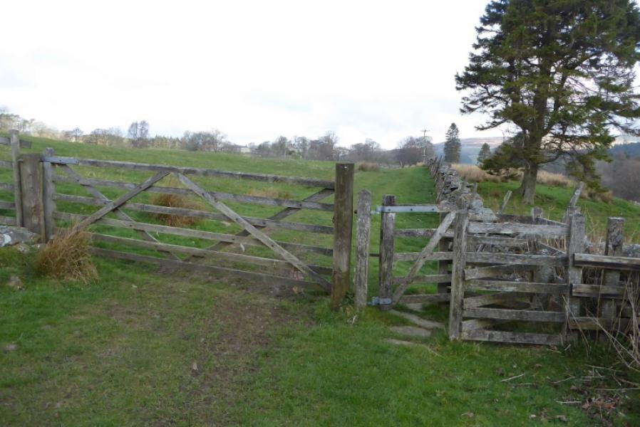
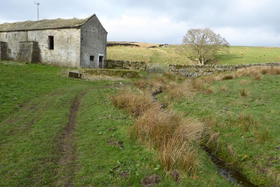
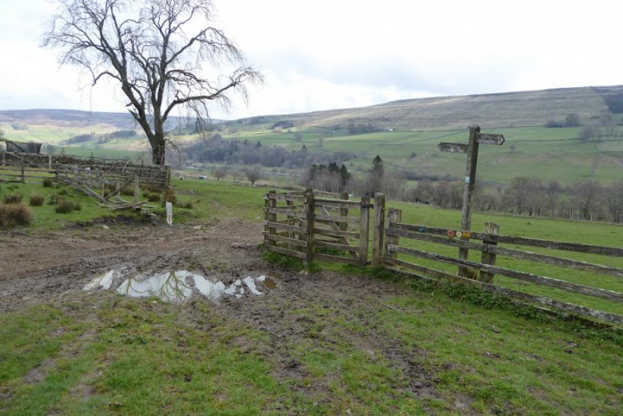
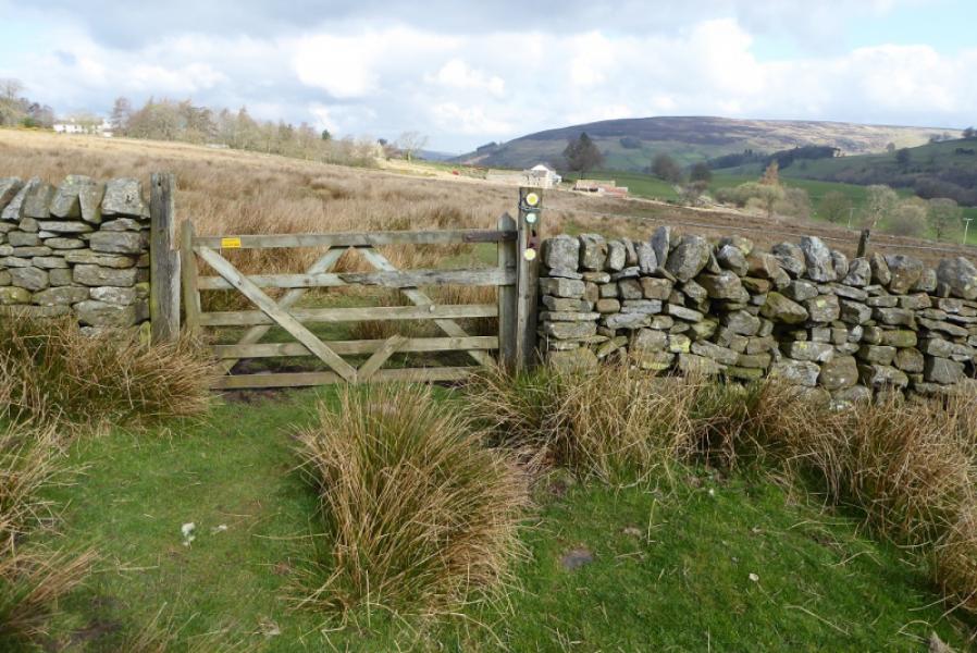
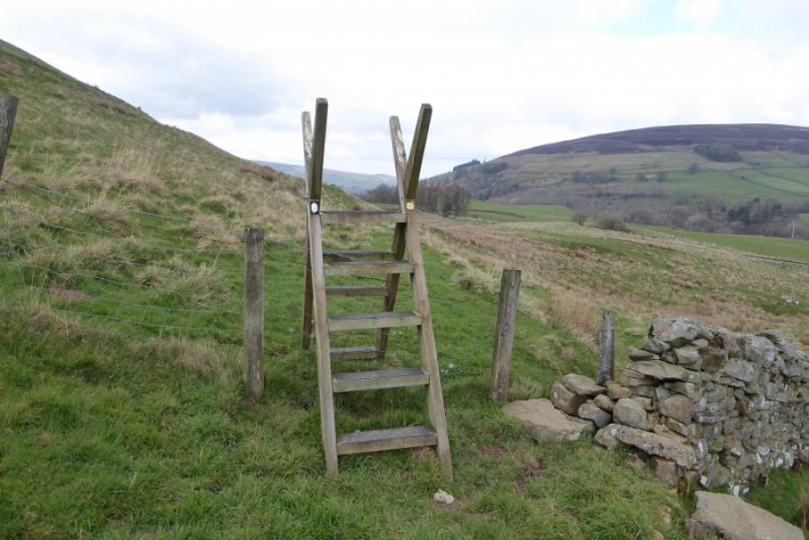
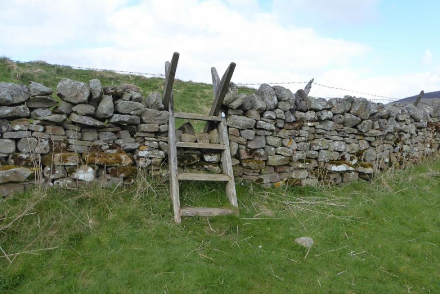
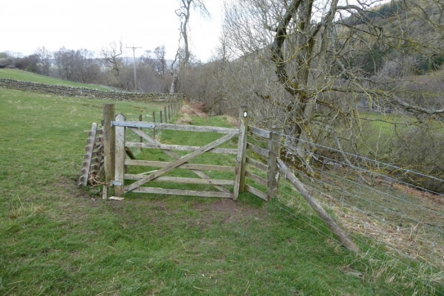
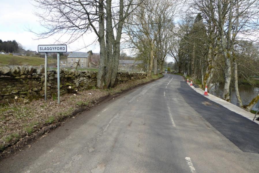
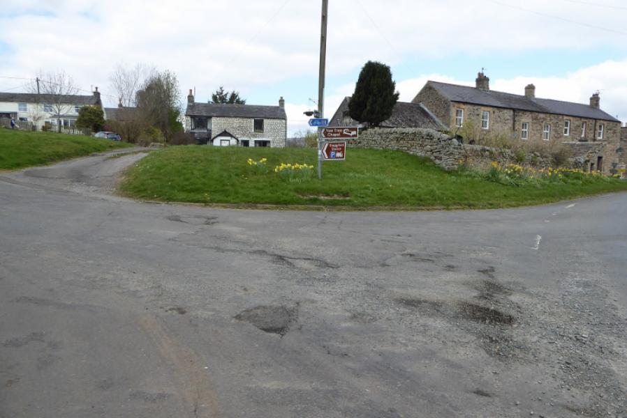
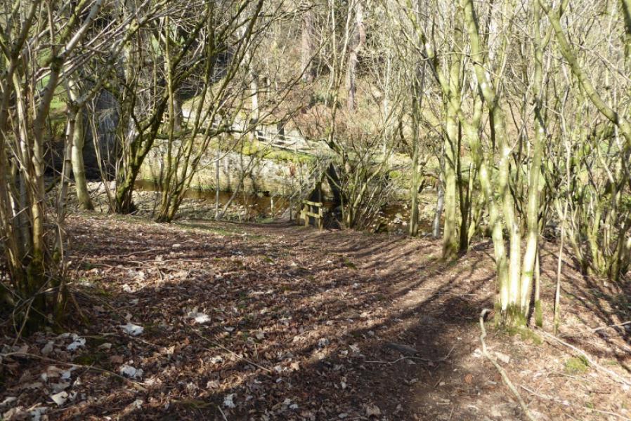
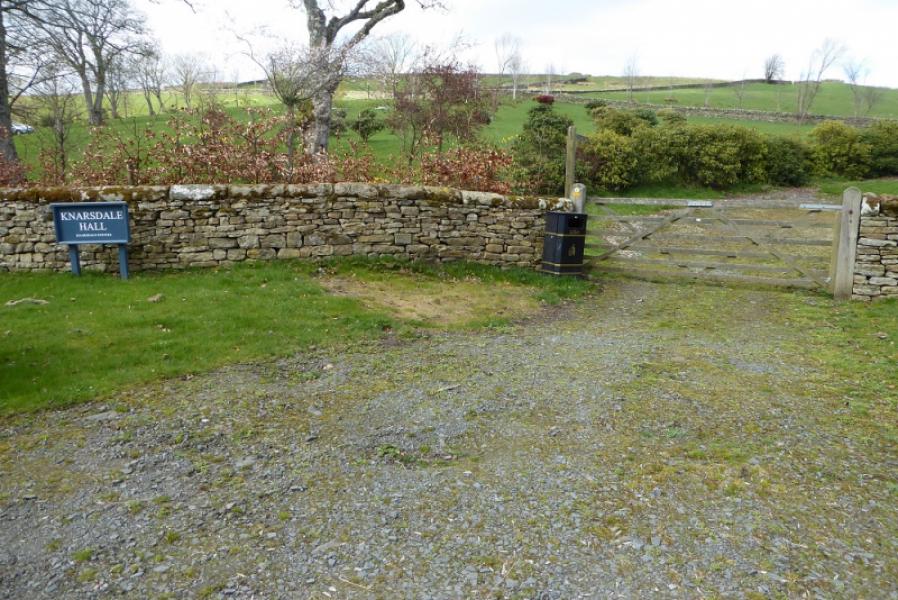
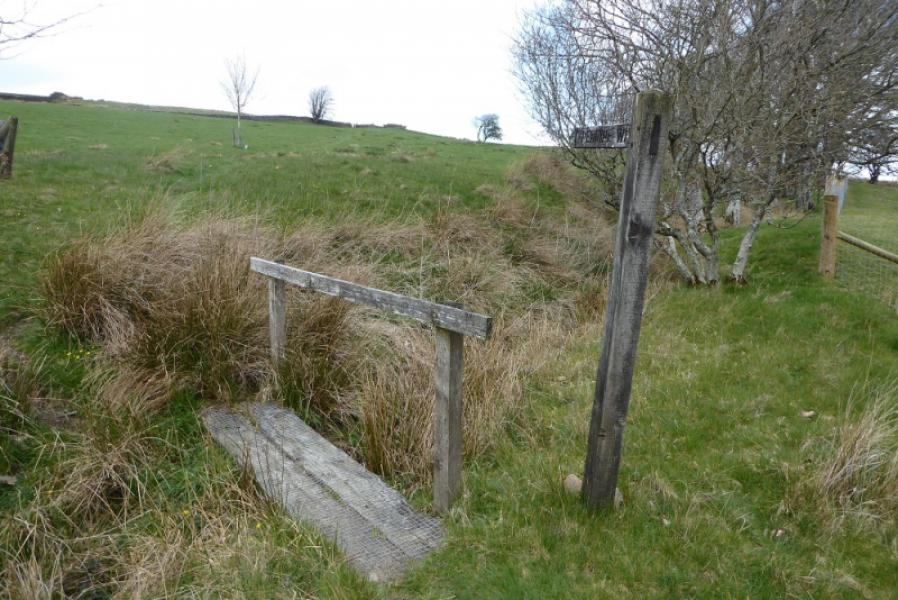
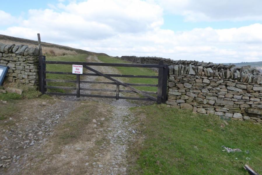
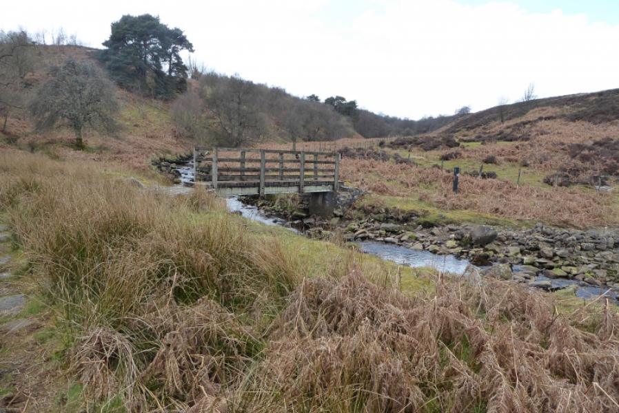
(2) Walk into Slaggyford and turn left, cycle way signs, and reach the Yew Chapel. Take the track going right here. There is a Pennine Way sign a few metres down the track. Follow the path, which soon leaves the cycleway, and continue. Go under a bridge then soon swing N and head towards Merry Knowe which is a row of stone cottages. Pass through the backs of these to the last cottage then go over the wall, signed, and continue in roughly the same direction cross a minor road. Continue and soon reach Burnstones where the path joins the road before passing under a viaduct before leaving the road again at the entrance to Knarsdale Hall. Follow the path to join a track which soon swings uphill to avoid Side House before a footpath leaves the track. Follow the path, in almost a straight line, to reach the footbridge at the Glendue Burn where the main road is very close. If continuing, then follow the path uphill onto Lambley Common. The main road is most easily reached by going uphill to the stile over the wall then one can descend easily to the road. The wall in the hollow is loose and has barbed wire on its top.
Notes
(a) This route was walked on 9th April, 2019.
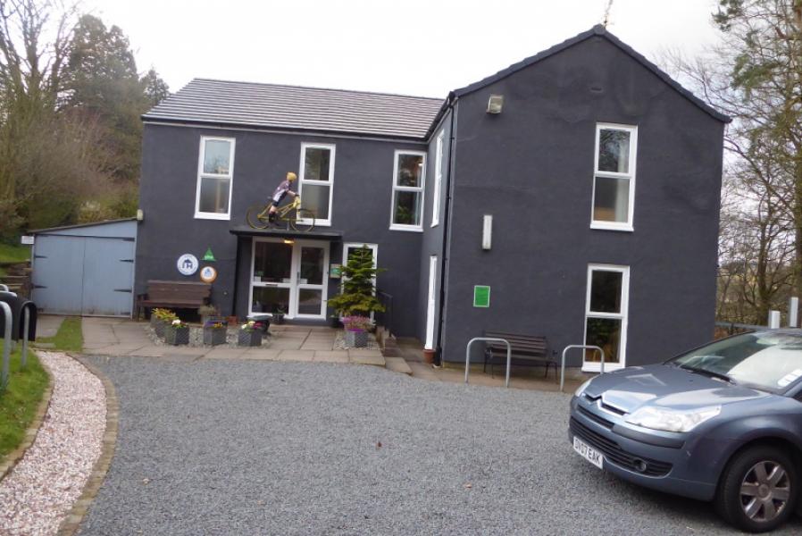
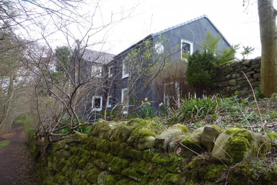
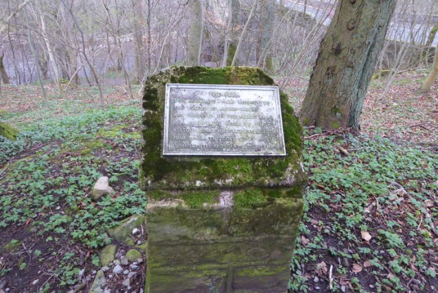
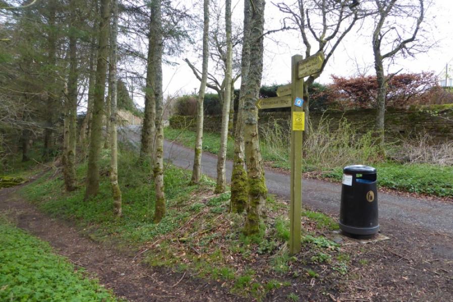
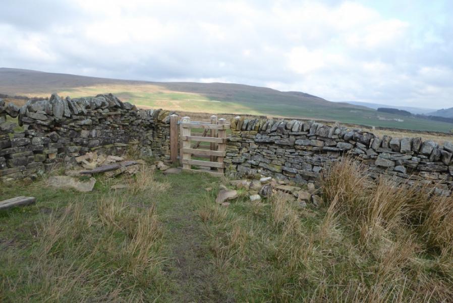
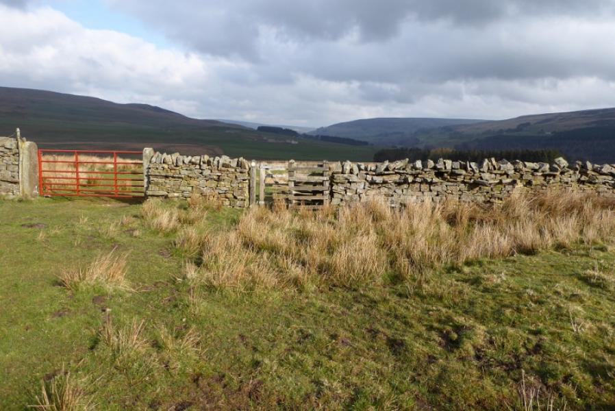
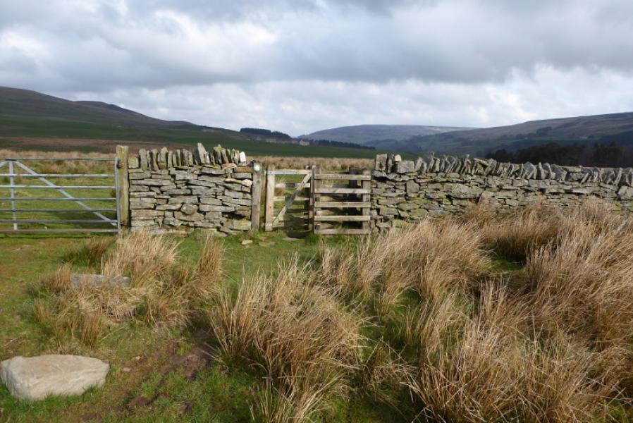
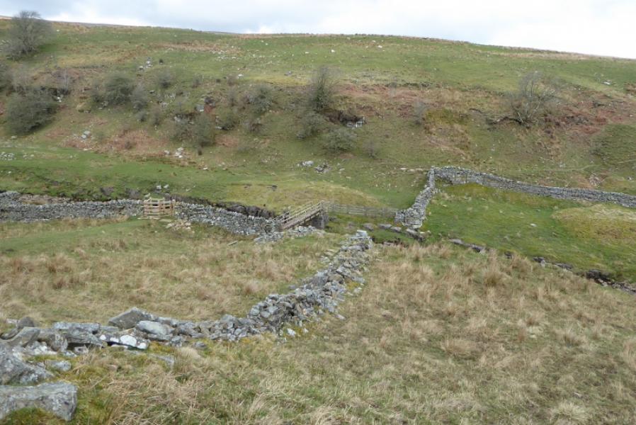
Photos - Hover over photo for caption. Click on to enlarge. Click on again to reduce.