Get Lost Mountaineering
You are here: England » Pennine Way » 5. Dufton to Bellingham
1. Dufton to Garrigill via Cross Fell
1. Dufton to Garrigill via Cross Fell
Start/Finish
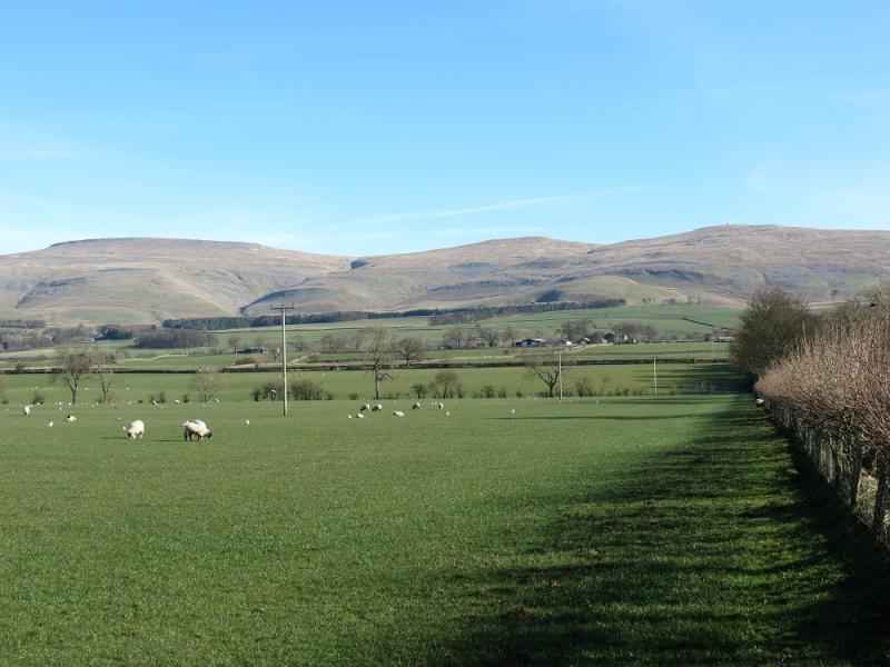
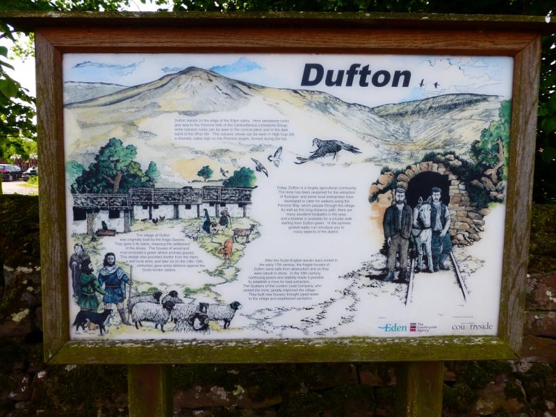
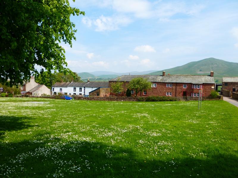
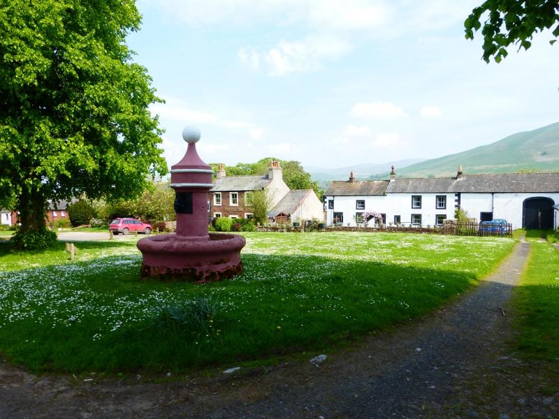
Dufton village is situated to the north of the A66 road from Scotch Corner to Penrith. It lies almost due north of Appleby and is signed off the A66. Garrigill is about 4 miles south of Alston..
Distance/Time
25 km. About 7 hours.
Peaks
Knock Fell, 794 m, NY 721 302.
Great Dun Fell, 848 m, NY 710 322.
Little Dun Fell, 842 m, NY 704 330.
Cross Fell, 893 m, NY 687 343.
OL 19: Howgill Fells. OL 31 North Pennines. Both maps needed
Introduction
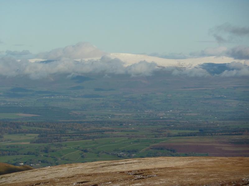
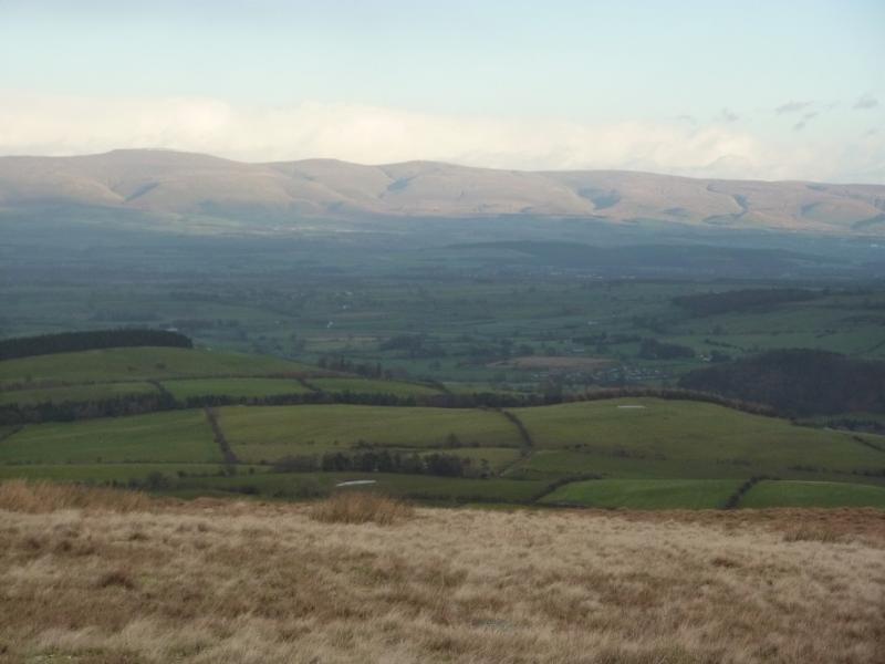
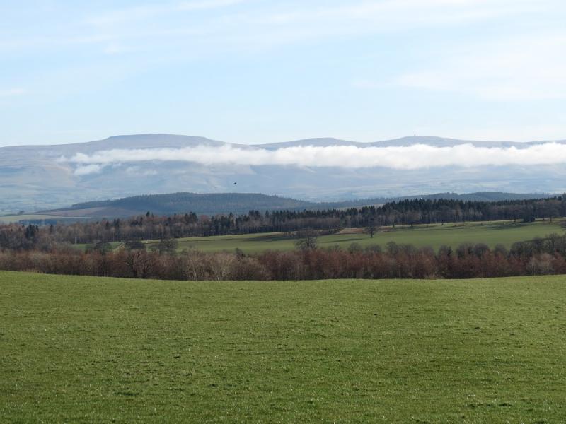
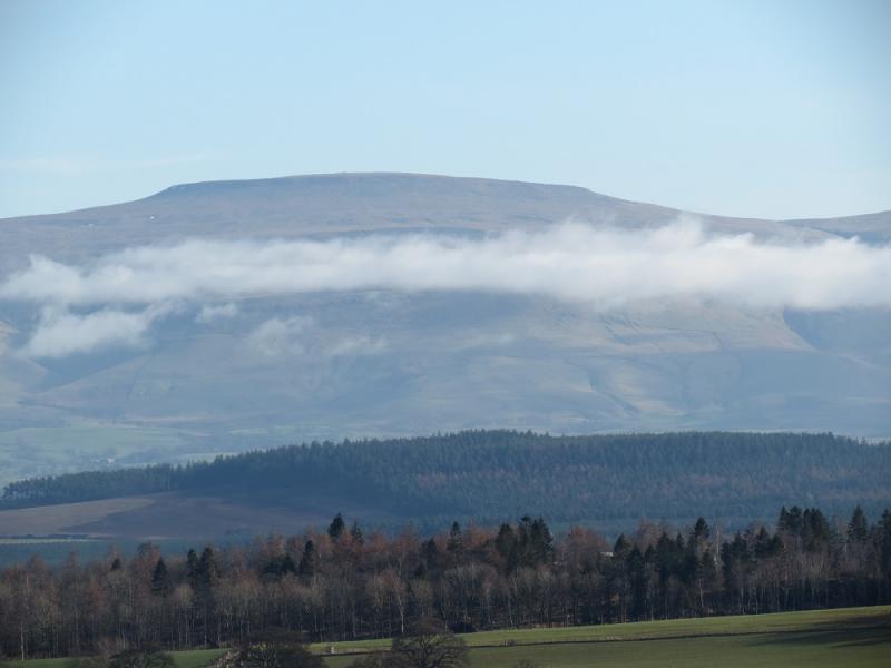
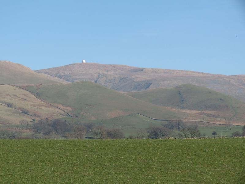
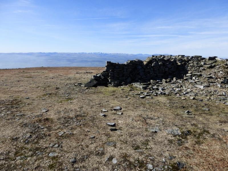
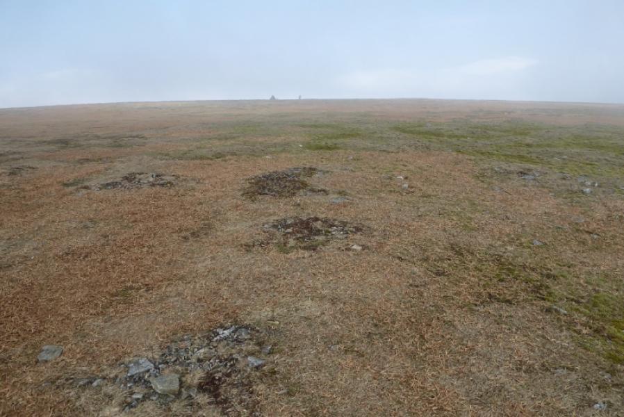
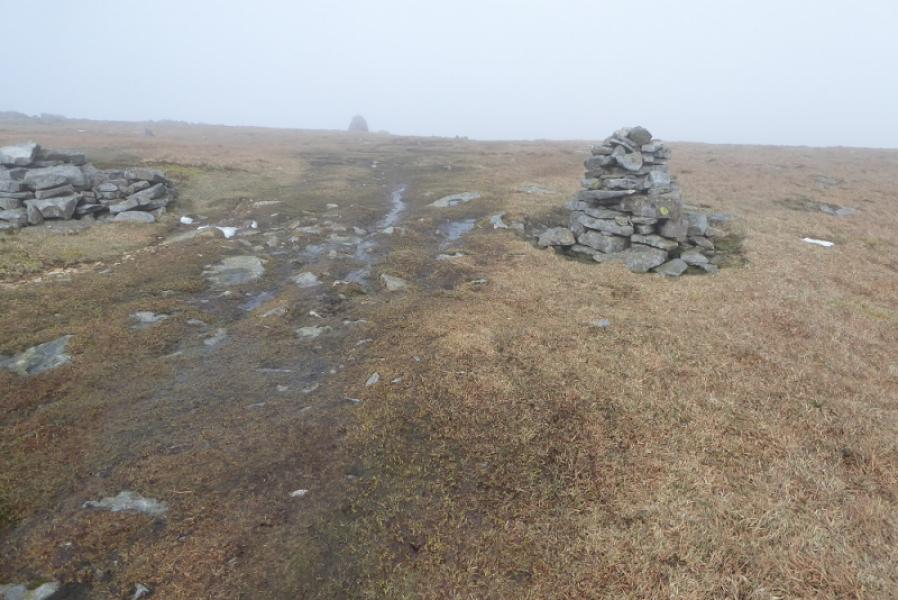
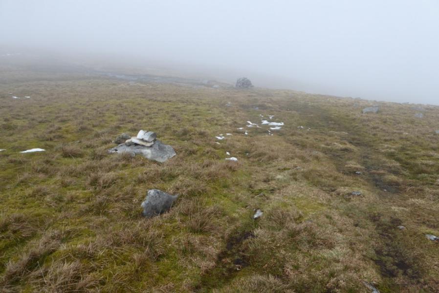
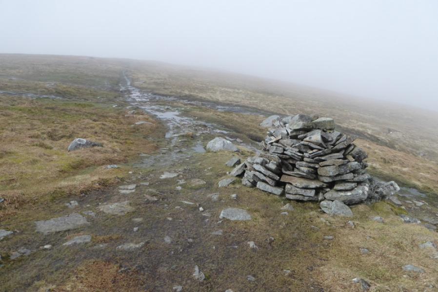
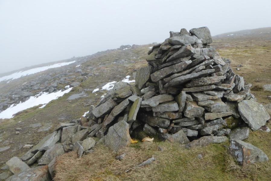
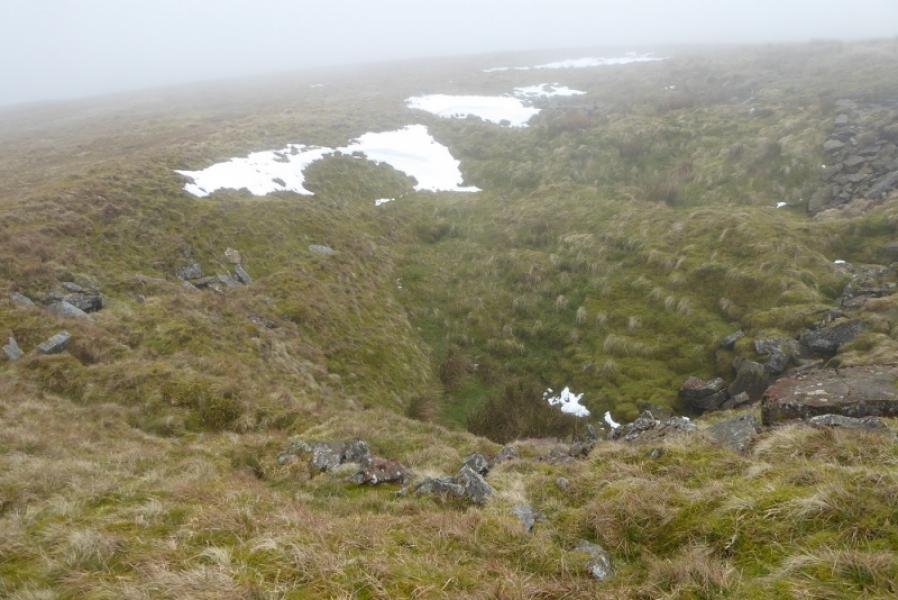
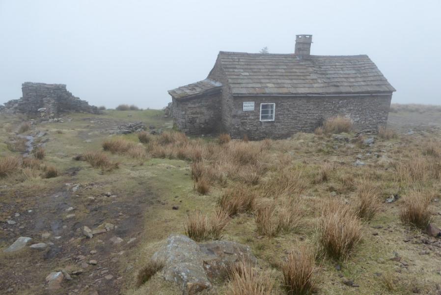
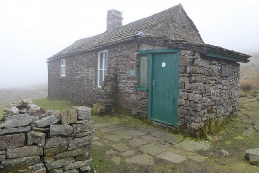
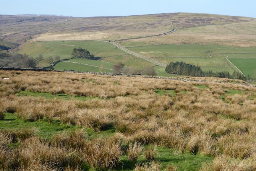
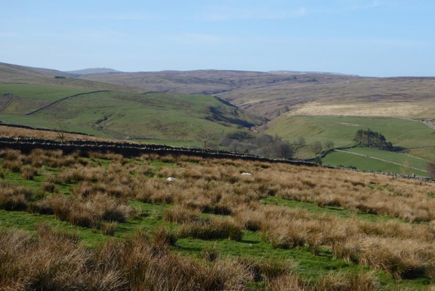
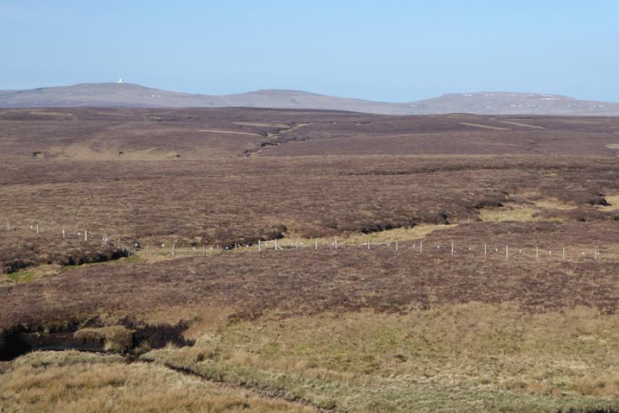
At 893 m, Cross Fell is the highest peak in the Pennines and the highest point on the Pennine Way. It is also the source of the River Tees. The route to Cross Fell has been slabbed in the boggy dips between the it and the Dun Fell tops. The worst sections now are near Dufton on the farm tracks. The summit plateau of Cross Fell is quite featureless but there is no mistaking the summit trig point and huge shelter cairn. Careful navigation is needed to go NNW from the summit to pick up the path/track to Greg's Hut then on to Garrigill. Some cairns help to guide one across the plateau in the right direction. There are then several paths, boggy in places, down to the Greg's Hut path/track. Greg's Hut is an open shelter/bothy. From there an undulating tedious track leads all the way to Garrigill where there are toilets close to the bridge. From Cross Fell the views are excellent especially to the Lakeland Fells where Helvellyn, Grasmoor, Grisedale Pike, Blencathra and Skiddaw are prominent on a clear day.
Route
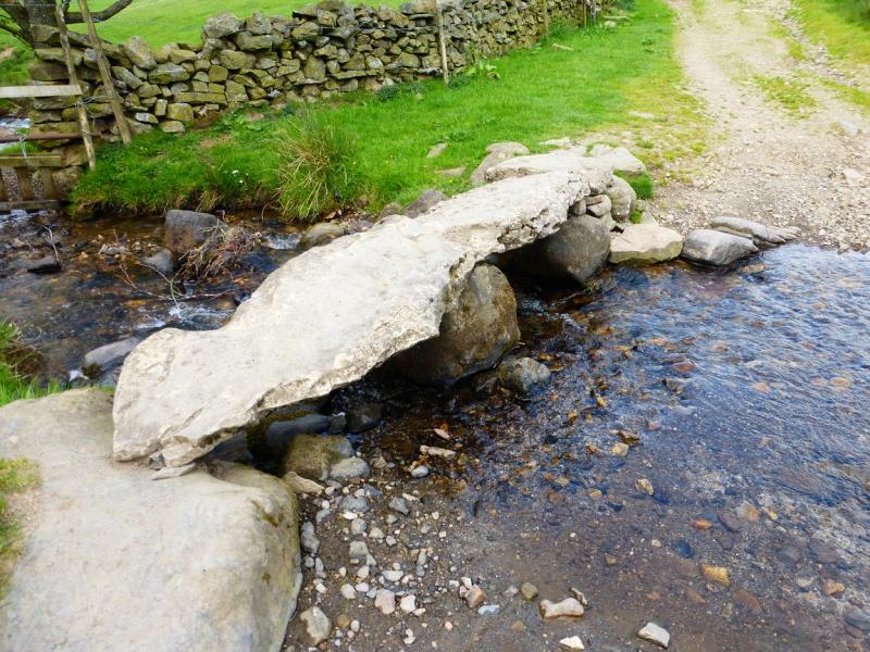
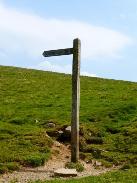
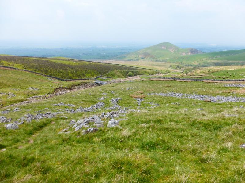
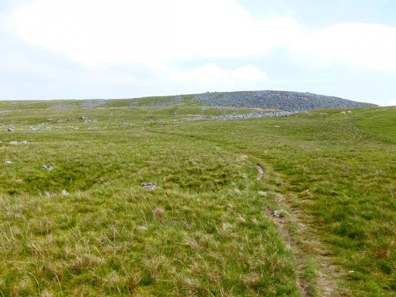
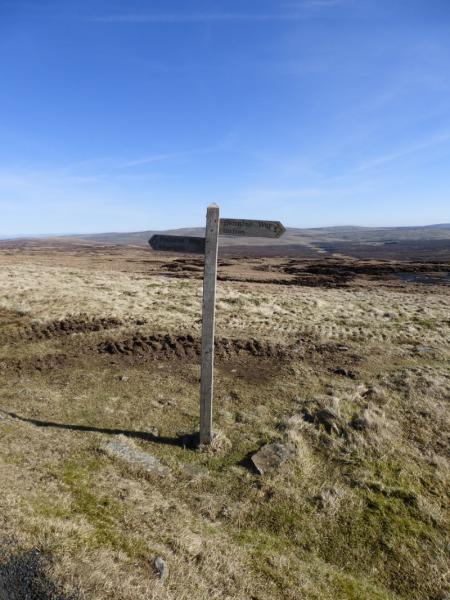
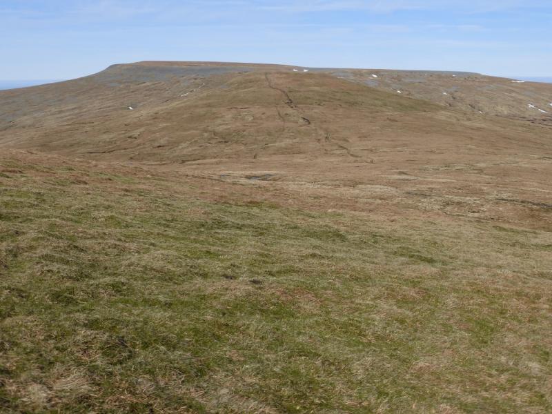
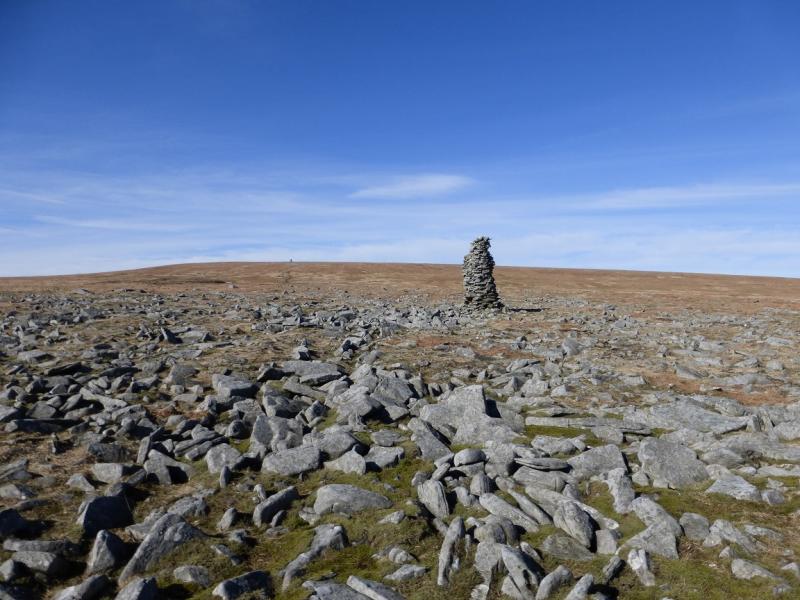
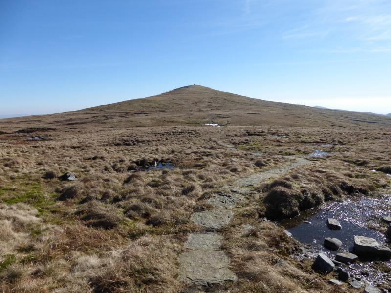
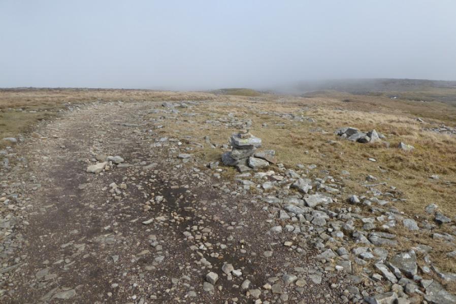
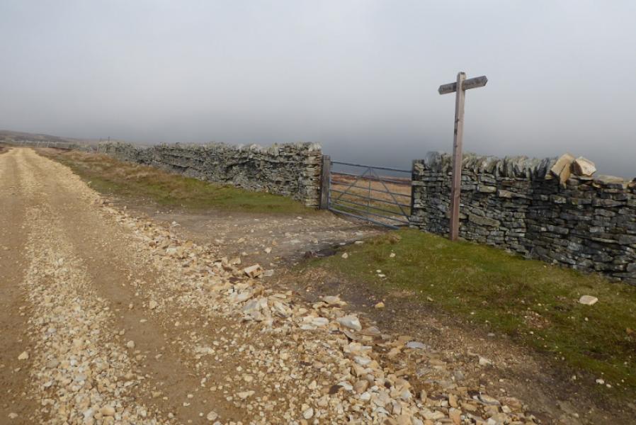
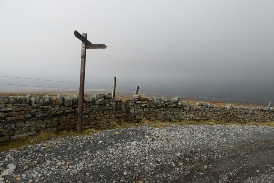
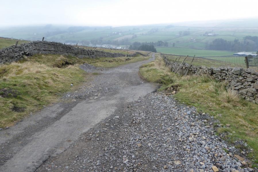
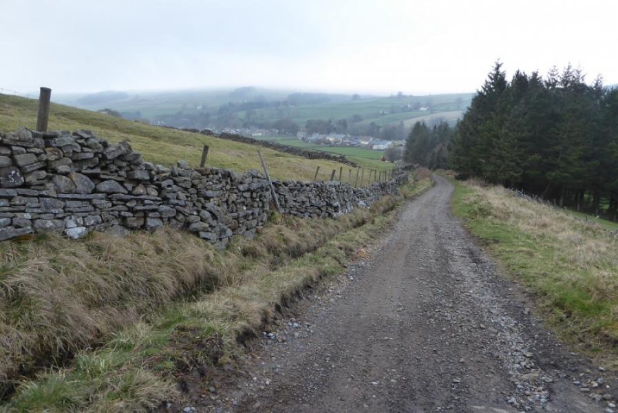
(1) From Dufton car park, walk left, NW, along the main street. Go past the green and pub then follow the road down and to the right, ignoring the left turn. Just after this turn, there is a farm track on the right for Coatsike Farm. Take the track to the farm and go straight ahead between the buildings to continue on the track heading roughly N. This track is quite boggy in places but improves before too long. A short distance after a right turn, a slabbed bridge is crossed and the track heads NE. A sign post marks where the track is left and a path continues to Swindale Beck where there is a modern bridge. Cross over. It can be confusing here as a way mark suggests crossing a wall by a stile but do not go this way. Go up some “steps” and follow a path heading NE which soon passes a Nature Reserve sign. Continue up this grassy path up Green Fell then to Knock Old Man which is a tall pointed cairn then continue NNE to a medium cairn which marks the summit of Knock Fell, 794 m.
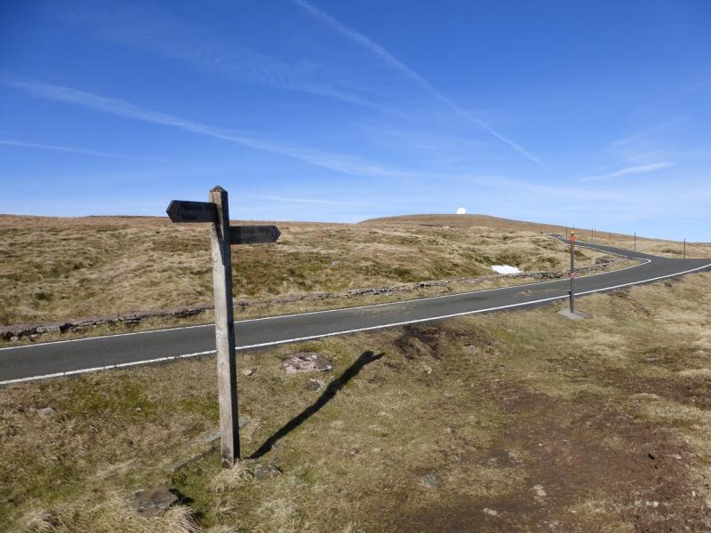
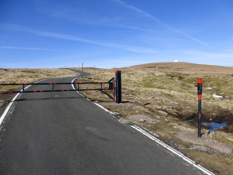
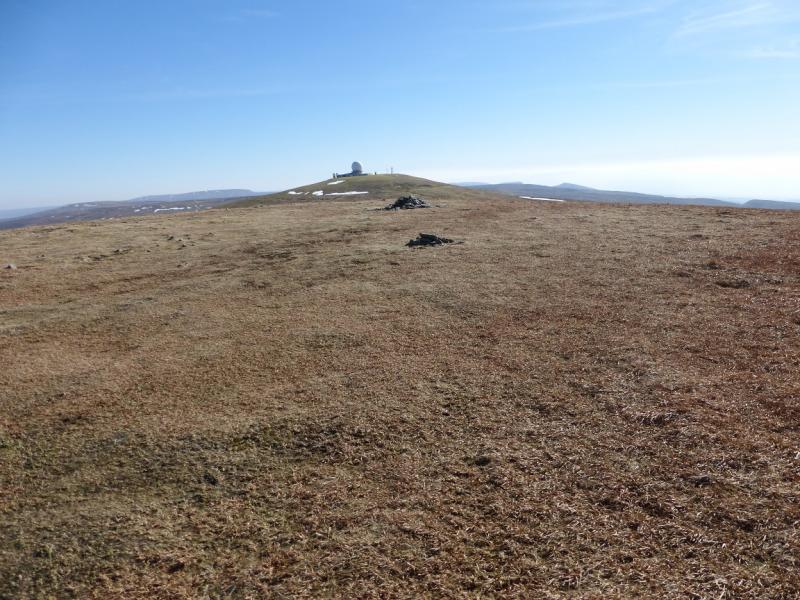
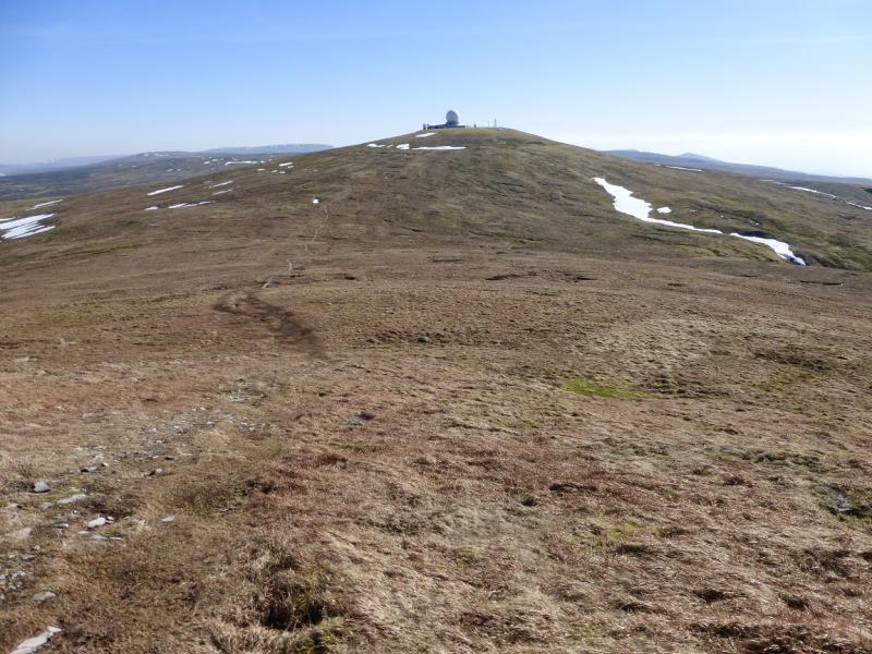
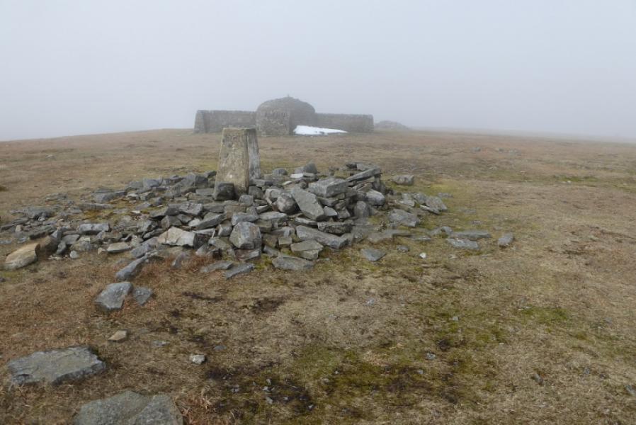
(2) Walk NNW from the summit on a path which can easily be lost in a stony patch but soon becomes a slabbed path in places. Follow this to reach a tarmac road where there is a Pennine Way sign. Walk up the road to the “Golf Ball” which marks the summit of Great Dun Fell, 848 m. The structure is fenced off but there is a cairn just outside which does not seem to be the highest point but it is difficult to tell how much of the ground inside the fence is natural. The usual route around the structure, taken by the Pennine Way, is to go around to its right, E. It is possible to leave the road sooner and walk up the hill side.
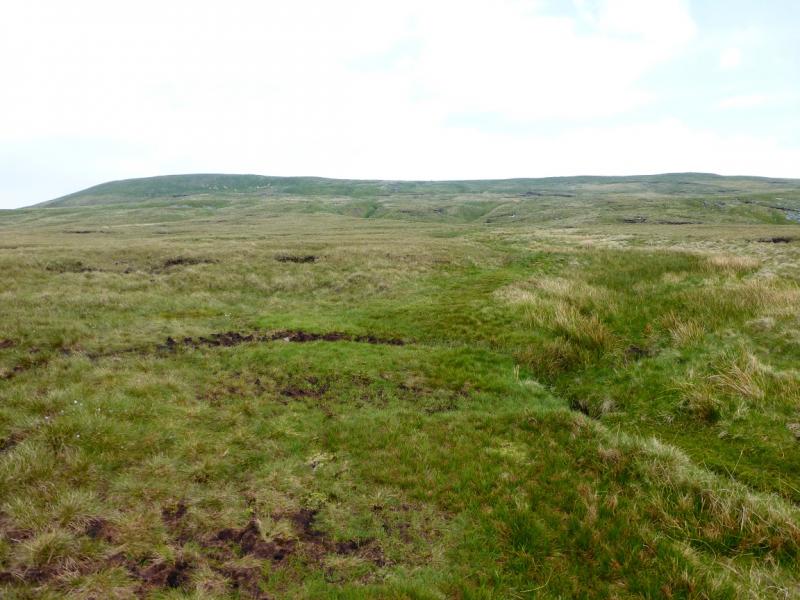
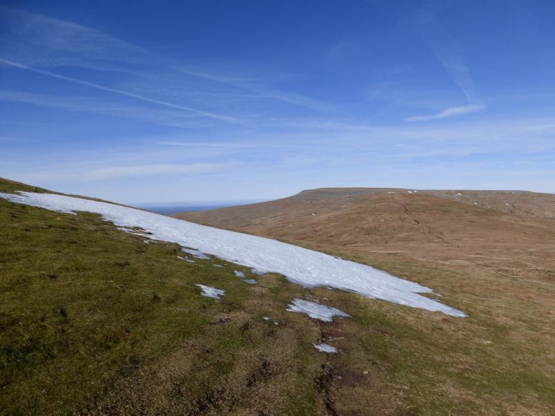
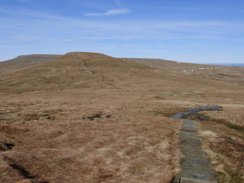
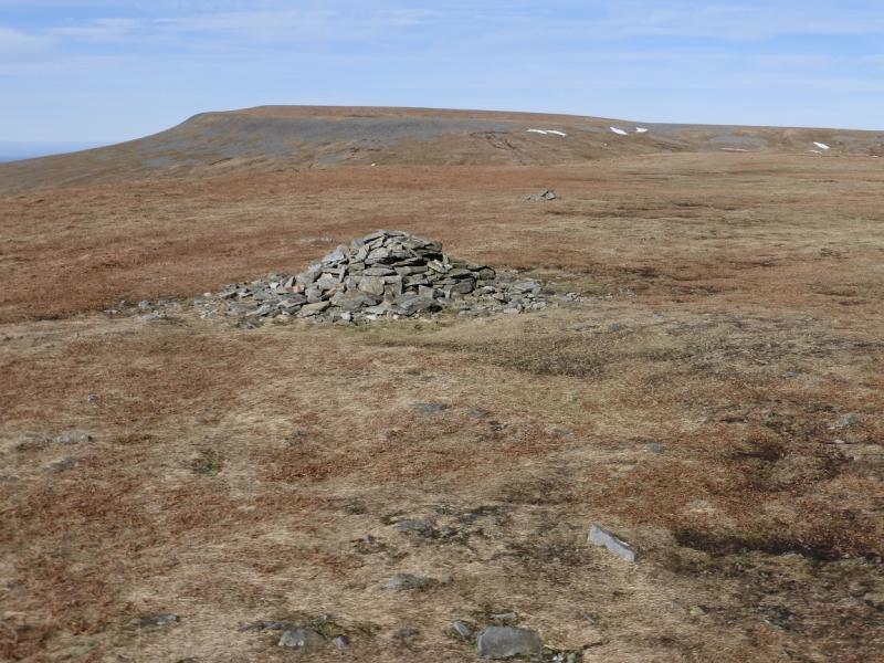
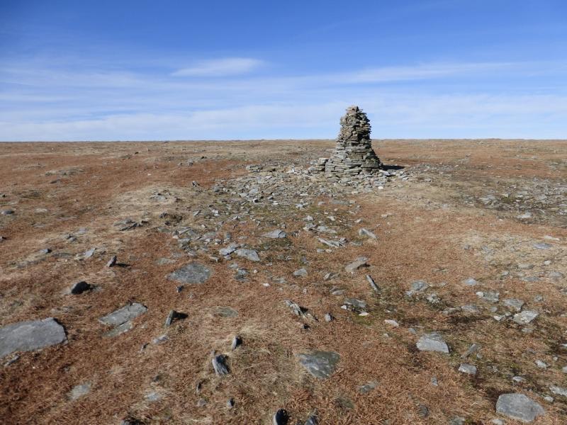
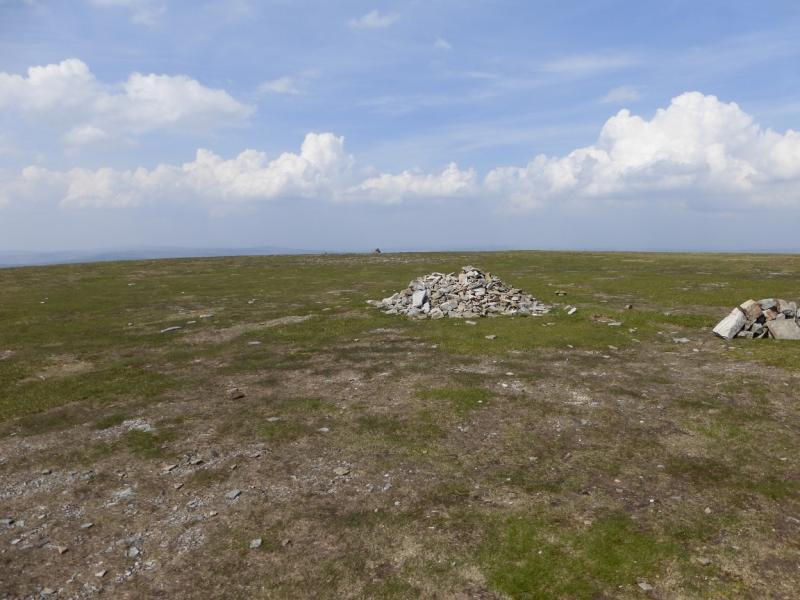
(3) Continue on the Pennine Way, descending to a col, then ascend up to a medium cairn which marks the summit of Little Dun Fell, 842 m. A much smaller cairn is just beyond it and there is a large shelter cairn further along the summit plateau just before the next descent.
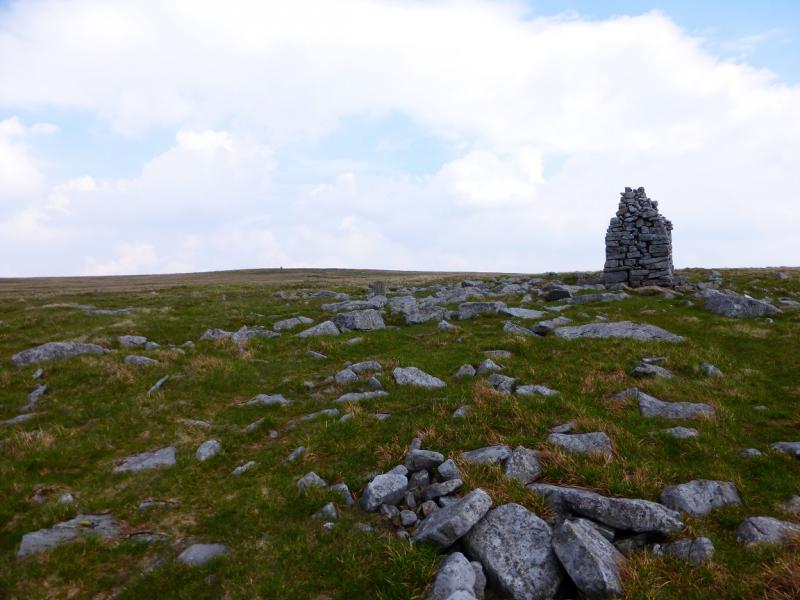
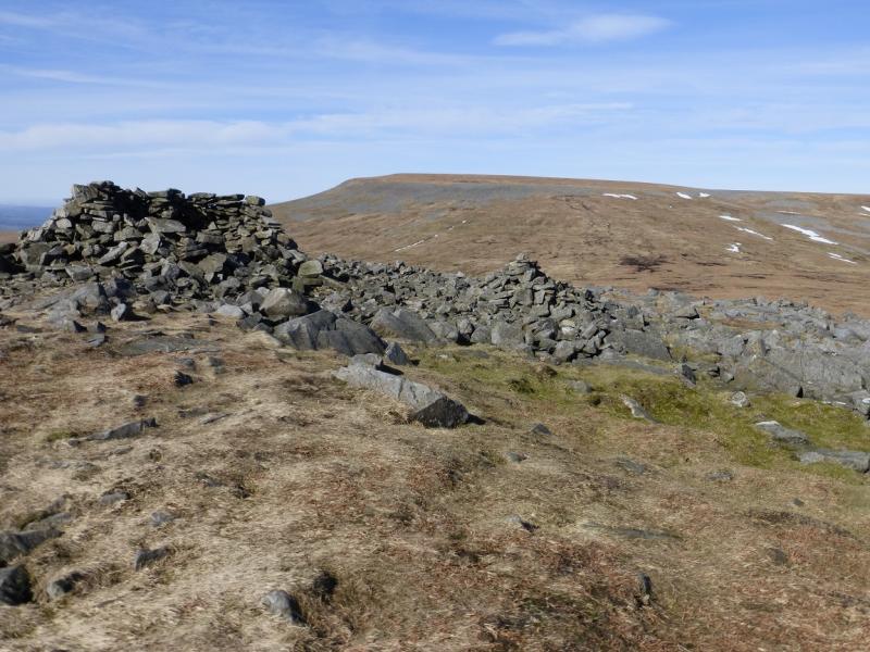
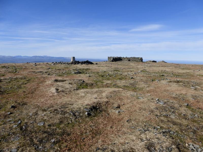
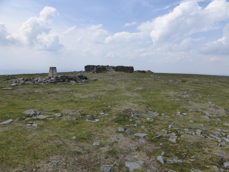
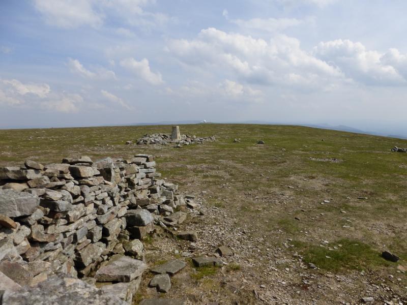
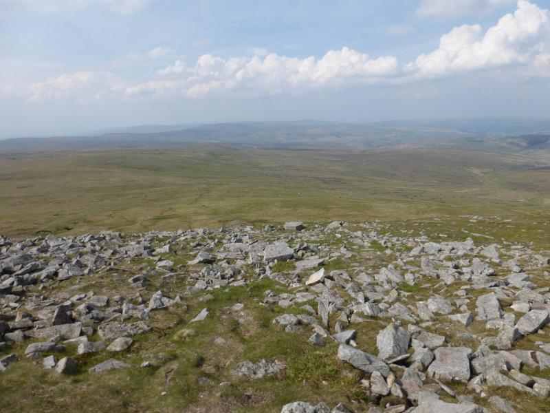
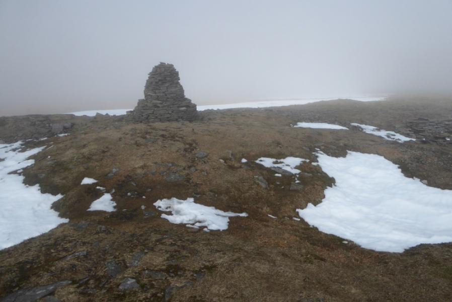
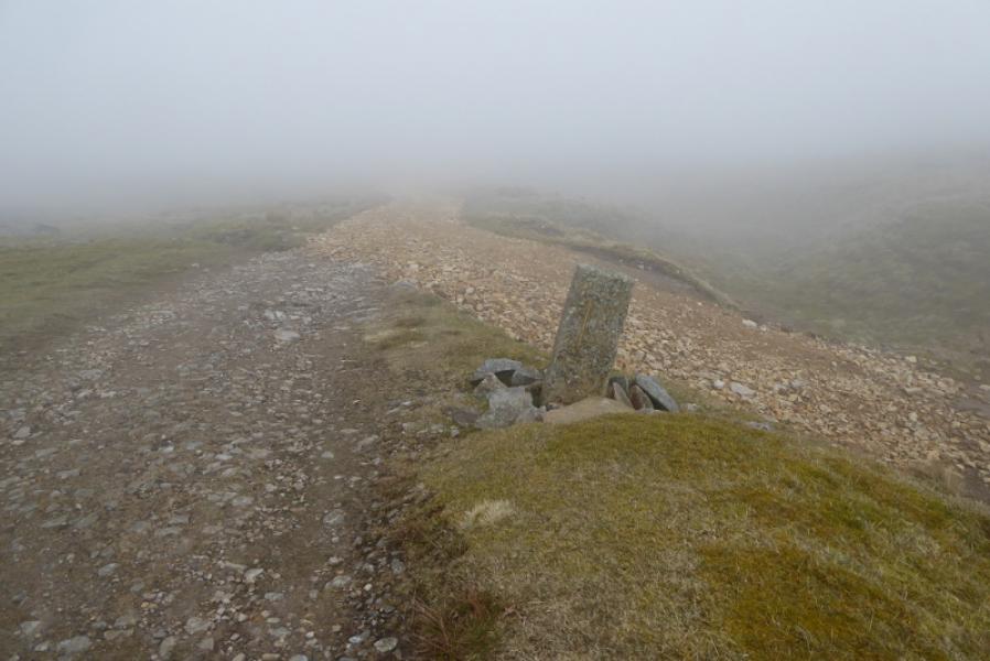
(4) Descend from the shelter cairn, still on the obvious Pennine Way, to another col then ascend up the SE flank of Cross Fell. At one point there is a stone direction marker laid flat in the ground. The path picks its way through a small boulder field to reach a tall cairn. Continue to a second tall cairn then on to the trig point and large cross shaped shelter cairn which mark the summit of Cross Fell, 893 m.
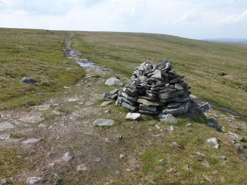
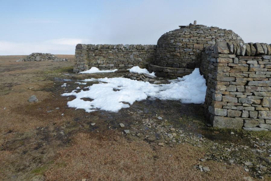
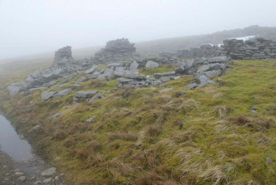
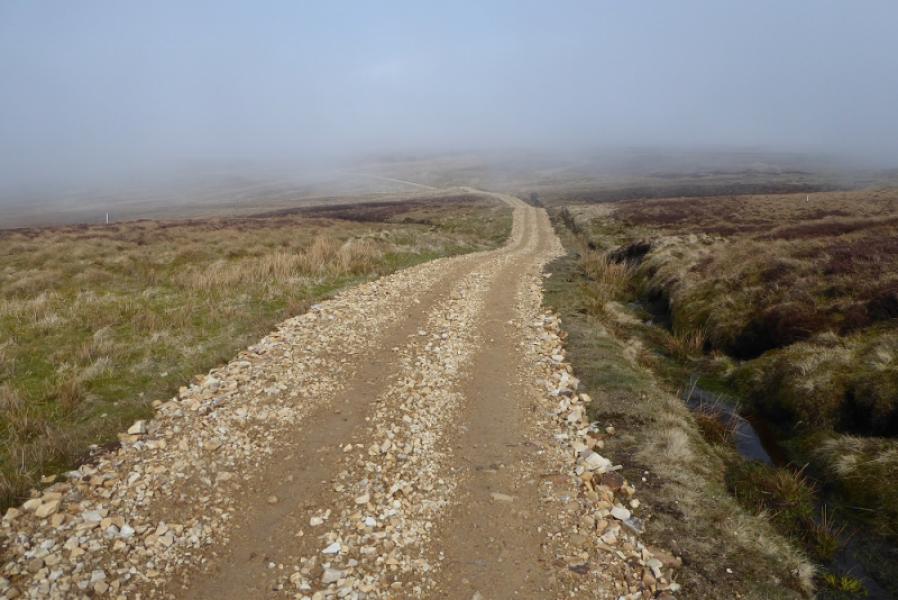
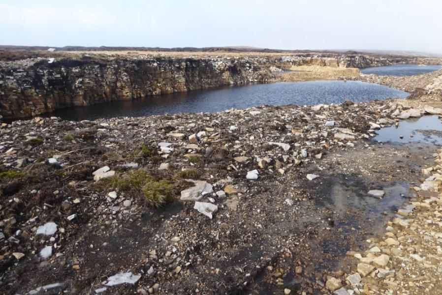
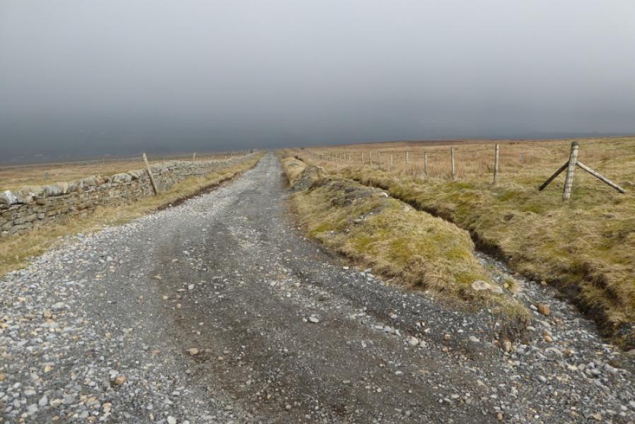
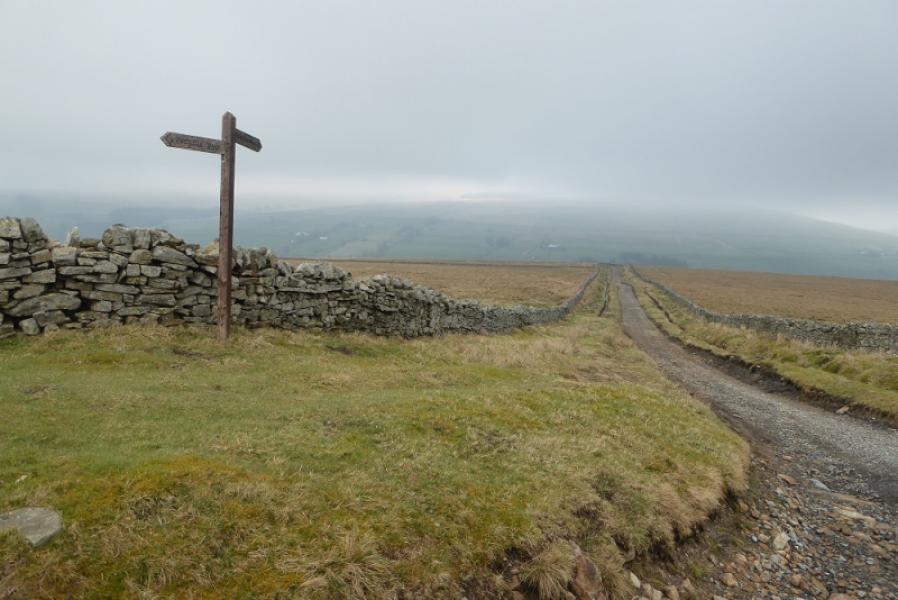
(5) Walk NNW from the summit, following a line of cairns. When the path levels out the going may become boggy. It is about 1 km from the summit to a significant cairn at a T junction. The Pennine Way goes right, ENE, on a rough track which descends gradually, past some large sink holes to reach Greg's Hut which offers good but basic shelter. Continue on the track which winds its way through some old mining areas before becoming a recently relaid undulating track which continues, tediously and seemingly forever, over the high moorland ridge before finally starting to descend towards Garrigill and the South Tyne valley. I right hand bend followed by a left hand one should bring Garrigill into view. Continue down to join the road. Turn left and walk into Garrigill village. If continuing on the Pennine Way, leave the village by the Leadgate/Penrith road. About 500 m down this road, the Pennine Way leaves the road at a sign post.
Notes
(a) This walk is a composite from walks which took place on 19th May, 2014, and 8th April, 2019.
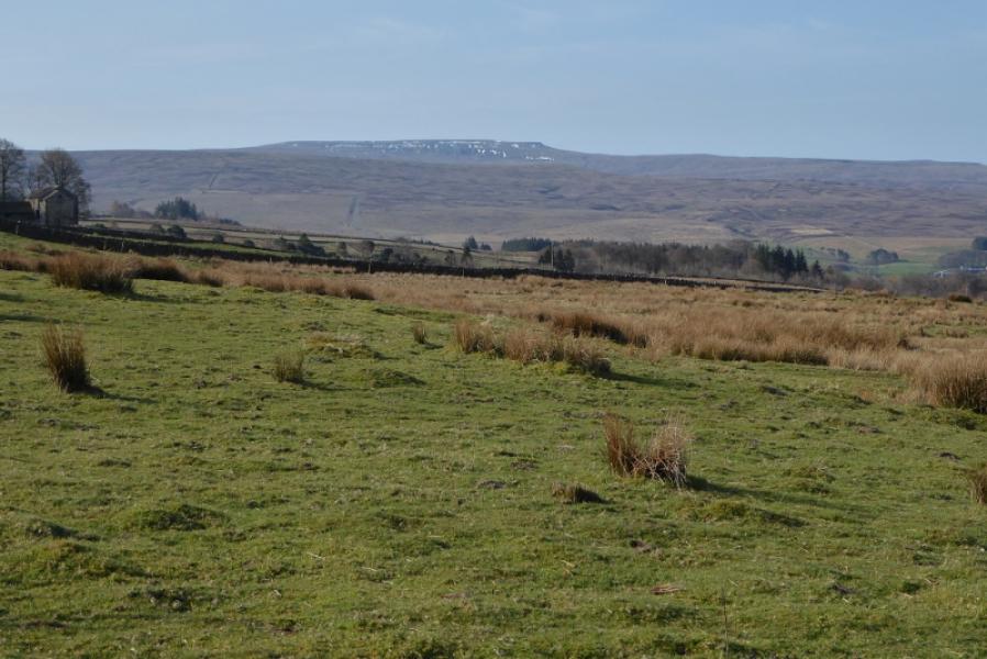
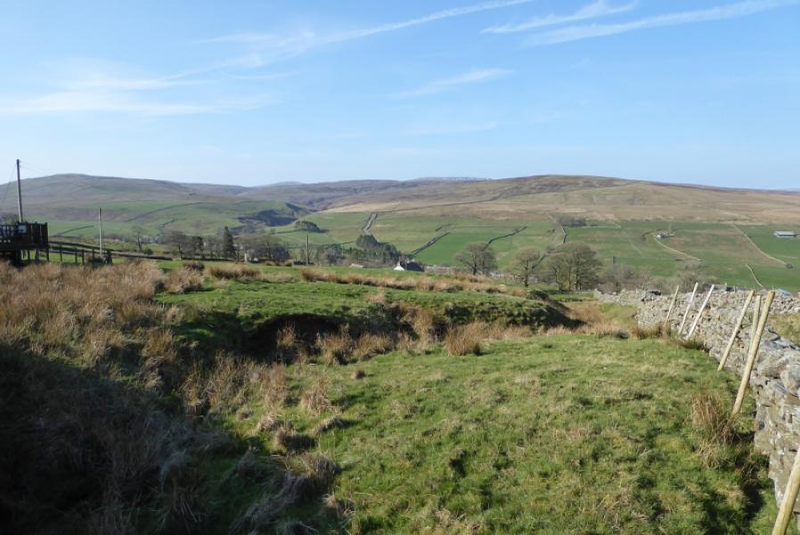
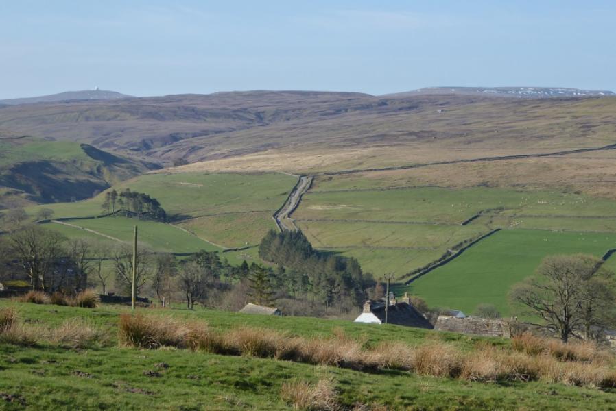
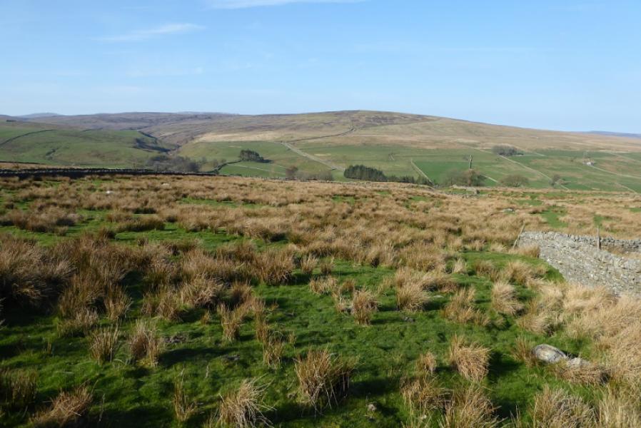
Photos - Hover over photo for caption. Click on to enlarge. Click on again to reduce.