Get Lost Mountaineering
You are here: England » Pennine Way » 5. Dufton to Bellingham
2. Garrigill to Alston
2. Garrigill to Alston
Start/Finish
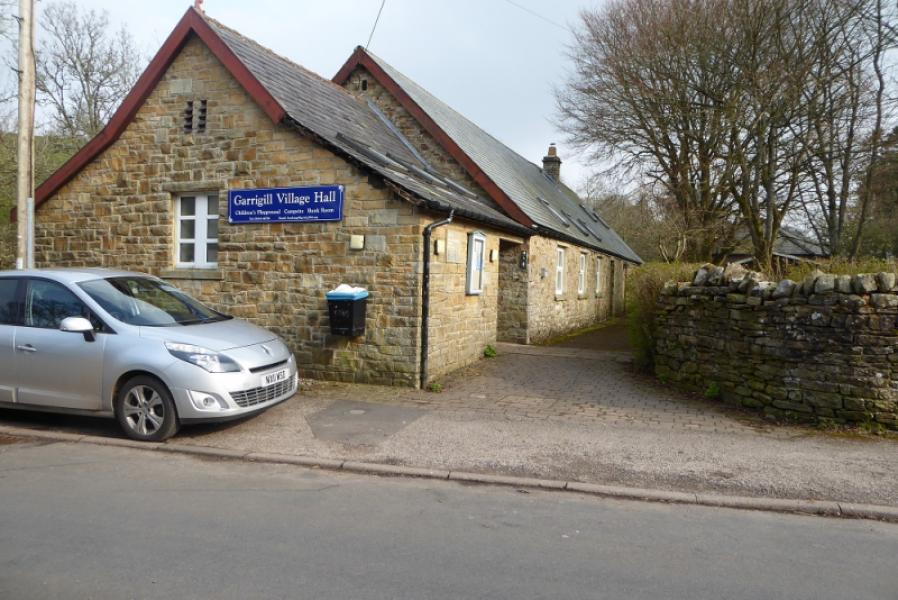
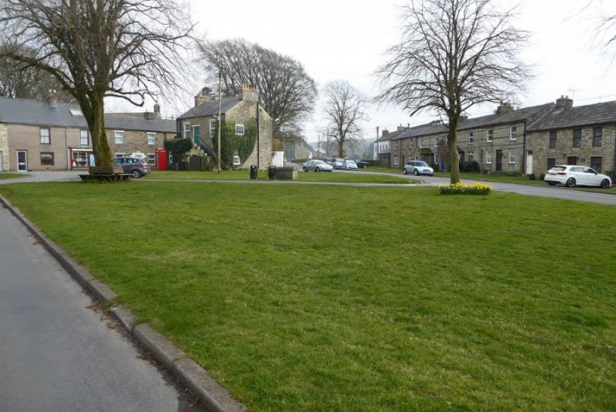
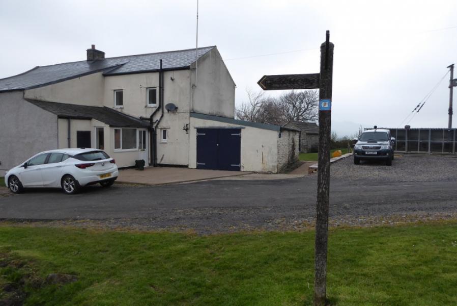
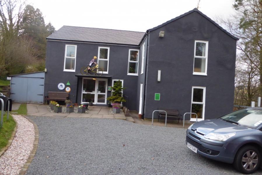
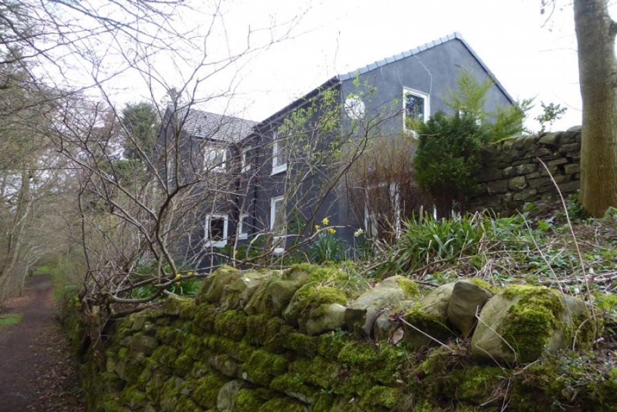
Centre of Garrigill village where there is plenty of street parking. Garrigill is about 4 miles south of Alston. It has a village hall with public toilets close to the bridge over the South Tyne. Finish in Alston. The youth hostel is reached before the town and sits on the Pennine Way.
Distance/Time
7 km. About 2 hours.
Peaks
No peaks a such but the highest point is about 337 m in Garrigill.
OL31 North Pennines.
Introduction
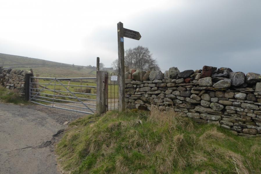
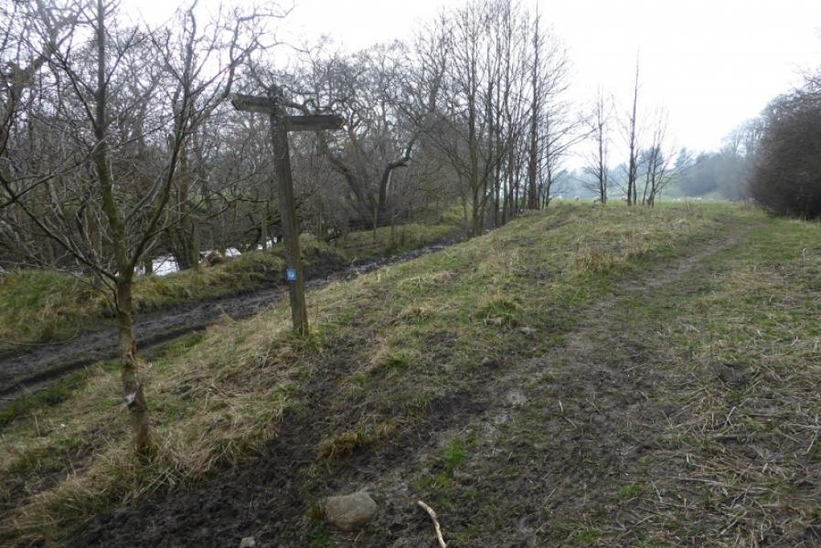
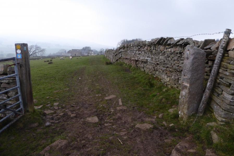
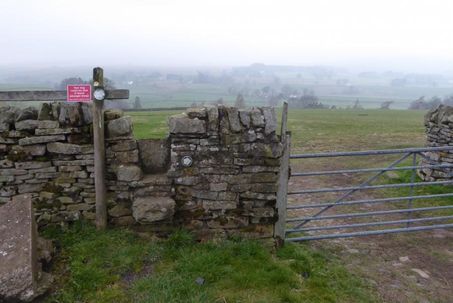
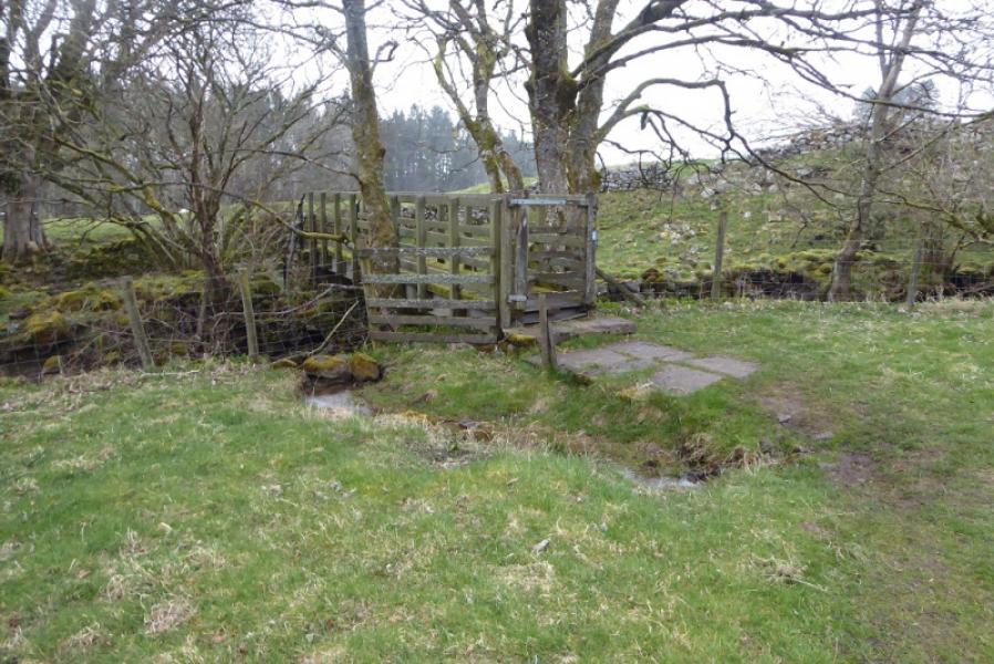
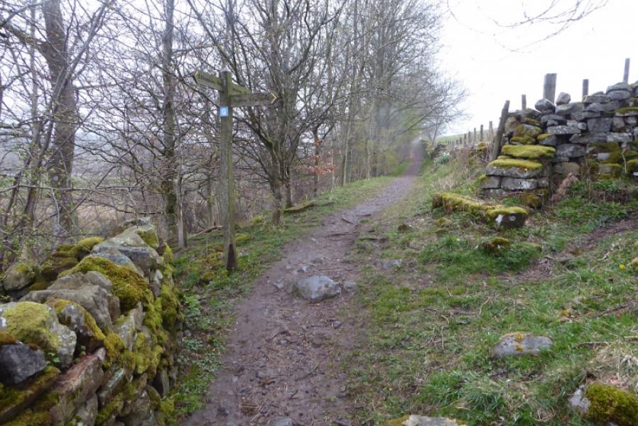
This route could also be titled “Death by Stiles” as there is a ridiculous number of them and they aren't exactly easy to cross as most have a vertical slab on top which has to be stepped over and some also have a sprung gate. A good word to describe these stiles would be “sadistic”! The route itself follows the South Tyne crossing over about a third of the way from Garrigill. Signage is not good either and is even worse for someone going from Alston to Garrigill as the path to the bridge over the river could easily be missed.
Route
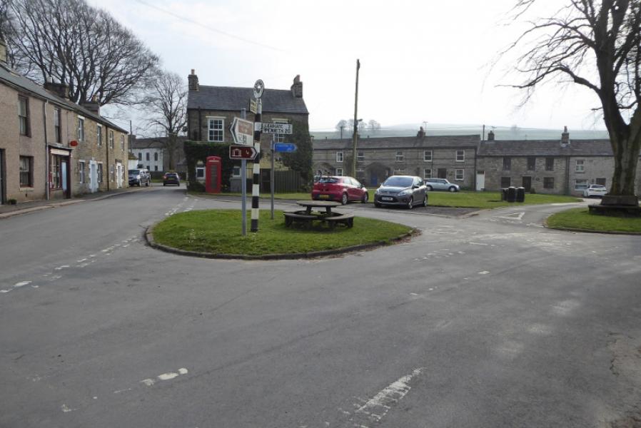
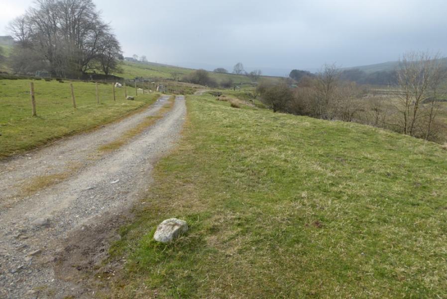
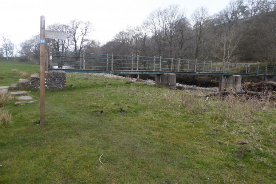
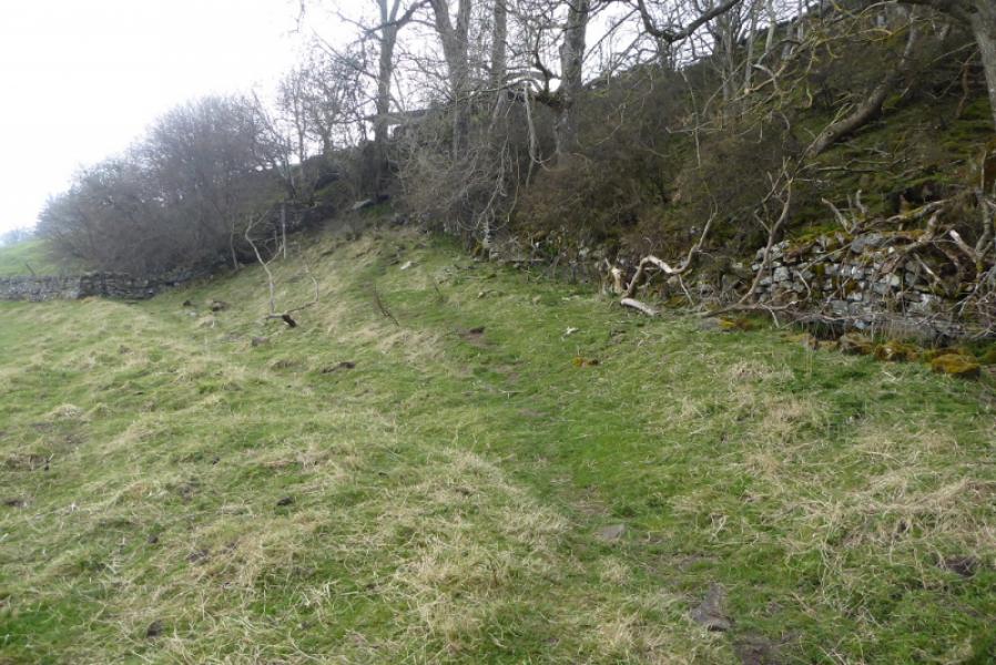
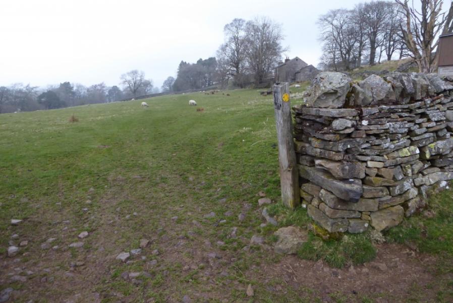
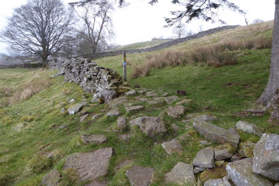
(1) From the centre of Garrigill village take the road going roughly NW on the W side of the river. After about 500 m, a Pennine Way sign points down a track. Follow this, often with the river in view. After about 2 km, cross the bridge and follow the path on the other side of the river which later becomes muddy. The signs eventually take one up the bank and the rest of the route continues along the top of the bank. At Bleagate, go left, through the farmyard, then right at a stile. Continue, almost due N, to reach the Youth Hostel which is just before where the A686 road, from Penrith, crosses the river. If continuing, don't go into the town centre but cross the river on the A686 then take the Pennine Way at about where the A689 road to Brampton goes right.
Notes
(a) This route was walked on 7th April, 2019.
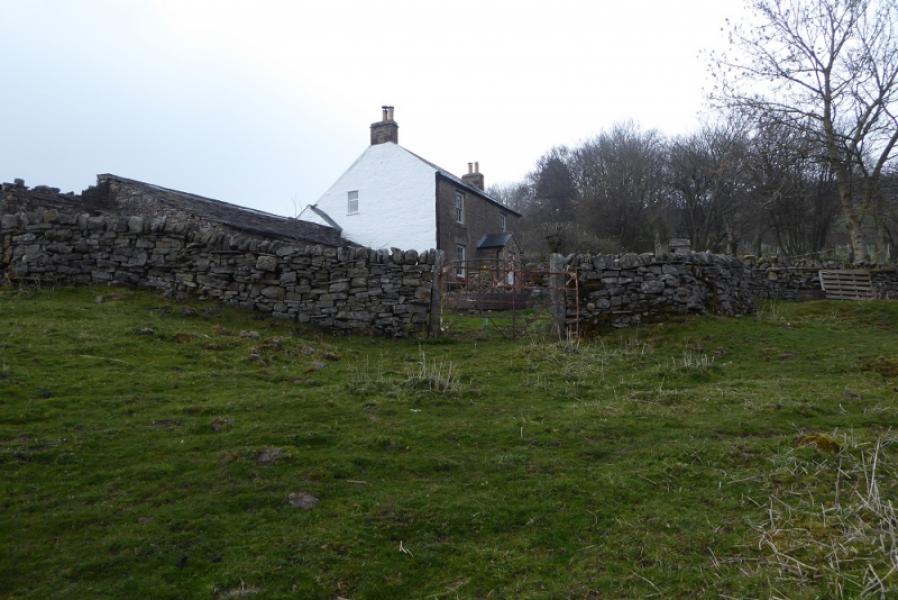
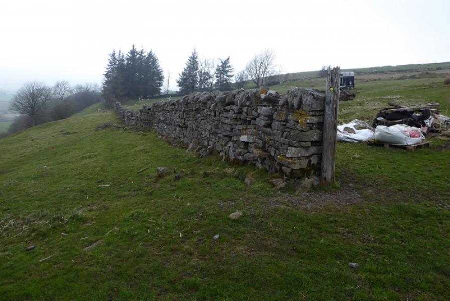
Photos - Hover over photo for caption. Click on to enlarge. Click on again to reduce.