Get Lost Mountaineering
You are here: England » Pennine Way » 4. Hawes to Dufton
5. Near Needless Bridge to Middleton-in-Teesdale
5. Near Needless Bridge to Middleton-in-Teesdale
Start/Finish
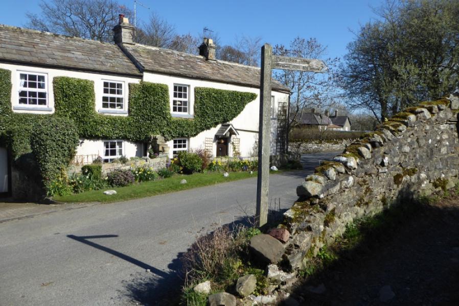
The start is on the Hury road near Needless Bridge to the north of Blackton Reservoir at NY 933 189. There is a Pennine Way sign at this point.
Distance/Time
9 km. About 3 – 4 hours.
Peaks
No peaks as such but the highest point is about 430 m.
OL31 North Pennines: Teesdale & Weardale
Introduction
This route is entirely on the Pennine Way. It is reasonably straightforward to follow with plenty of signs. There is a surprising amount of up and down as the route crosses quite a few hollows but there are no seriously wet or boggy sections.
Route
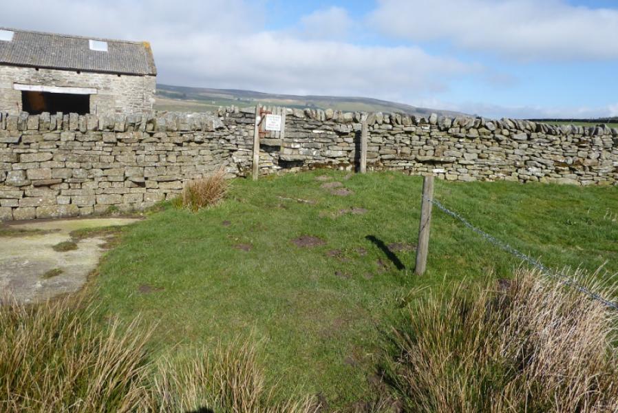
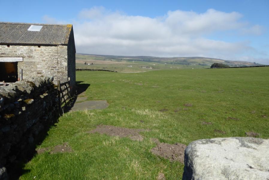
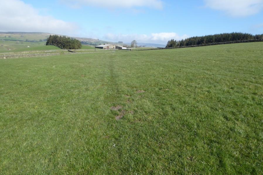
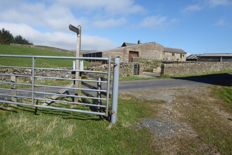
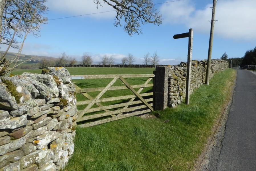
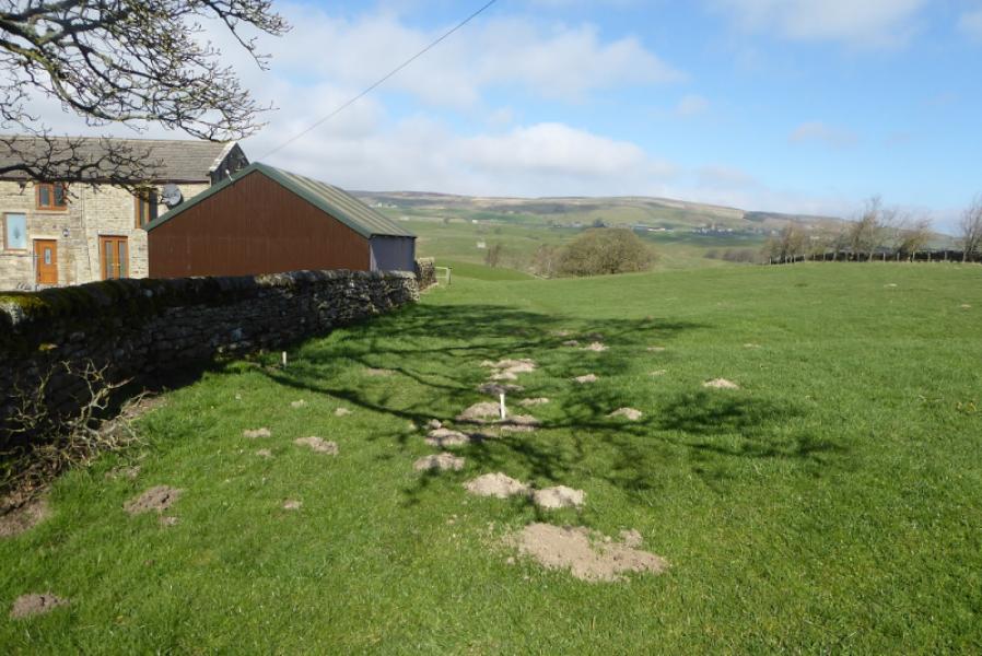
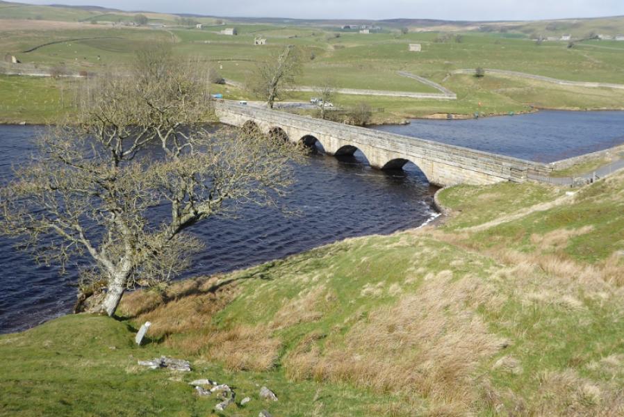
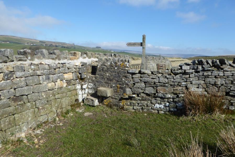
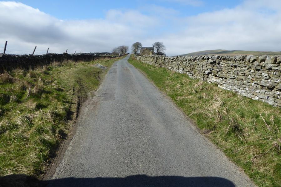
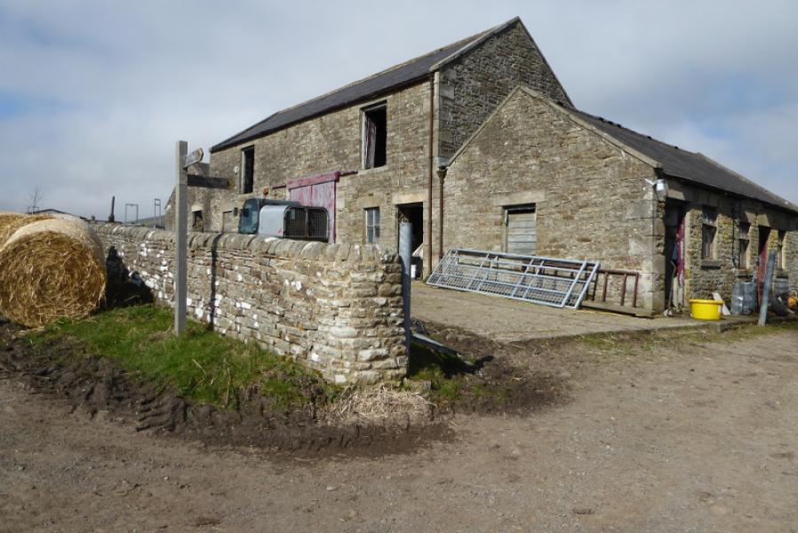
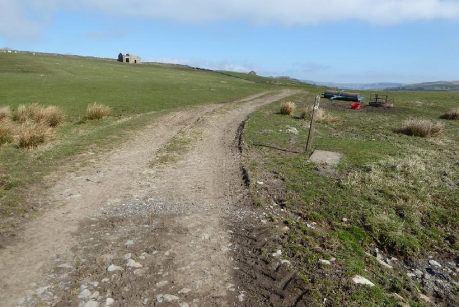
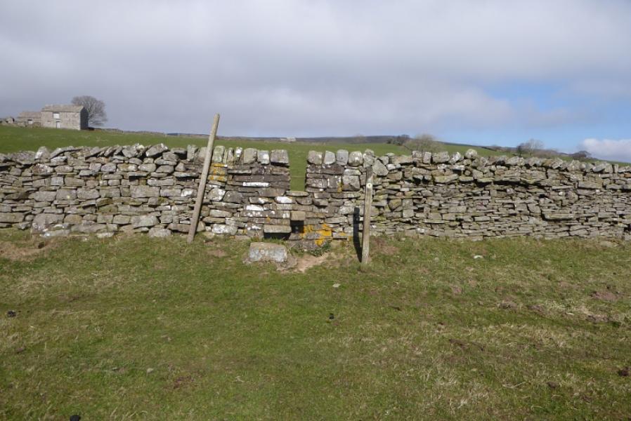
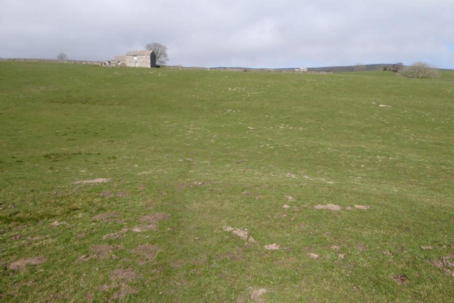
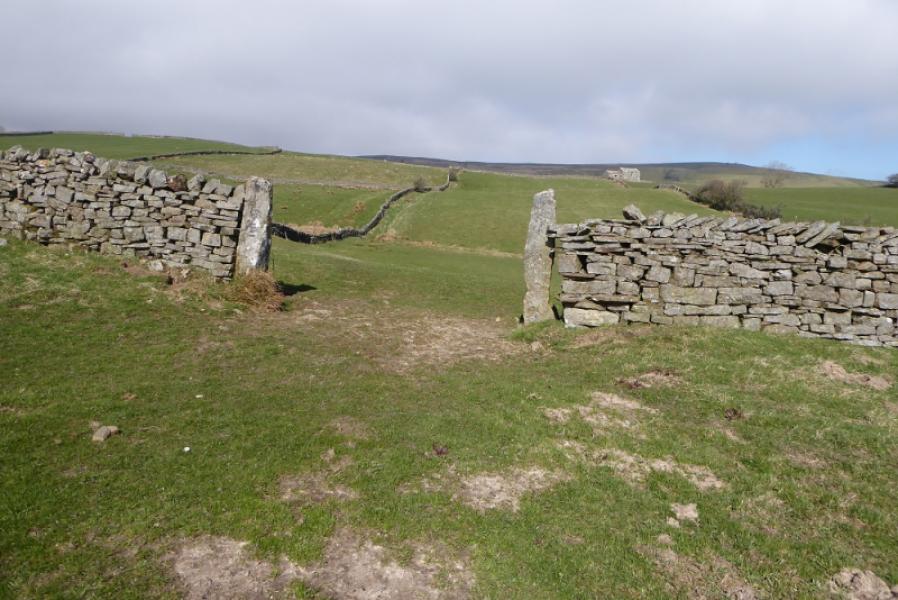
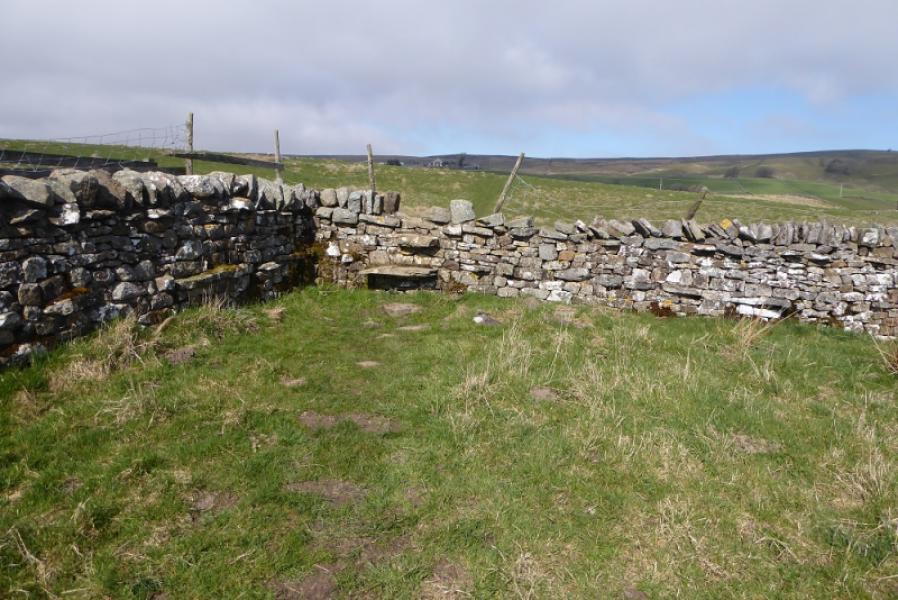
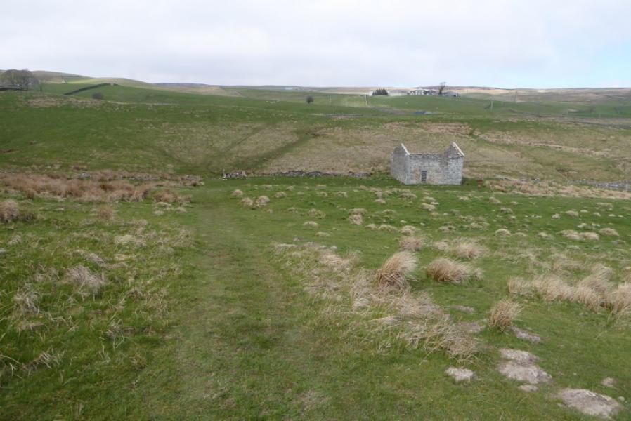
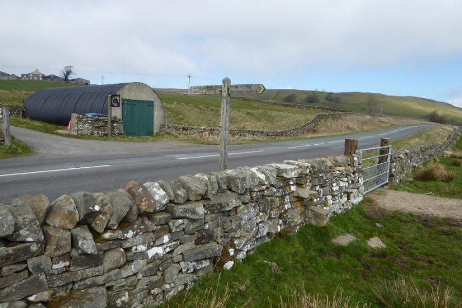
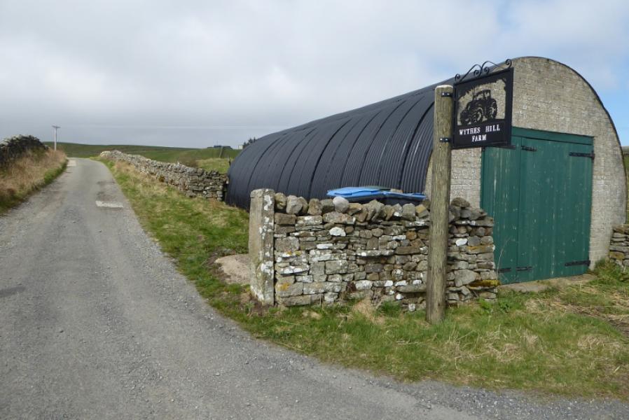
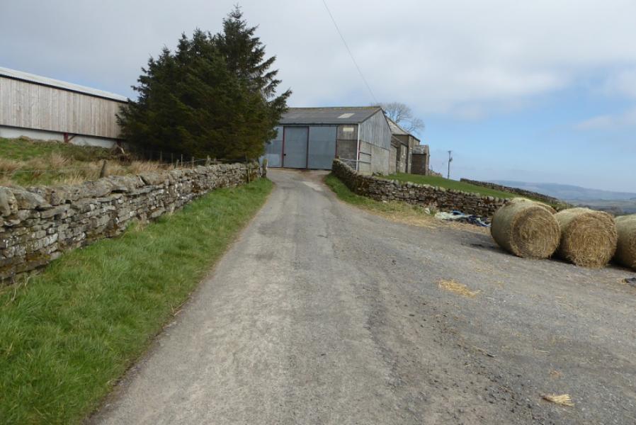
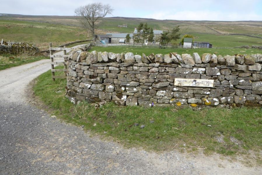
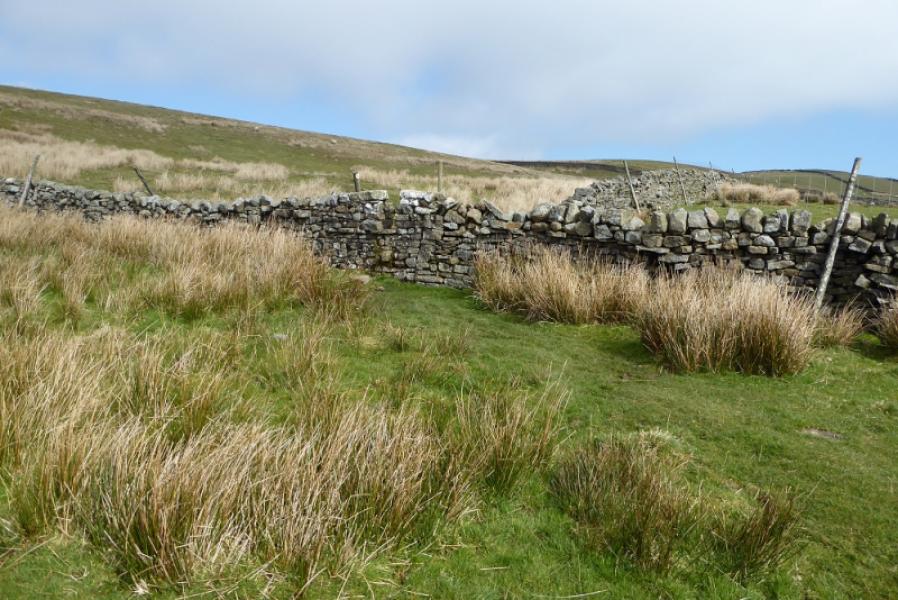
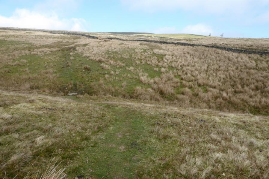
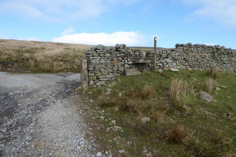
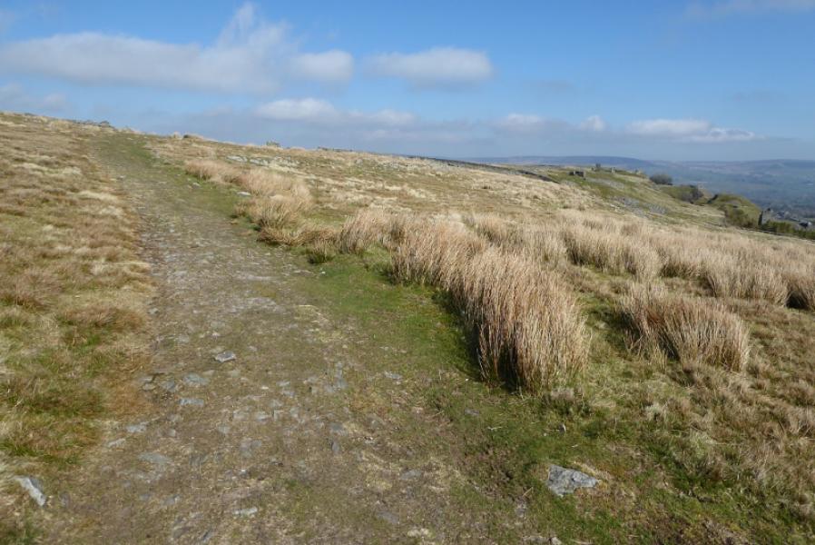
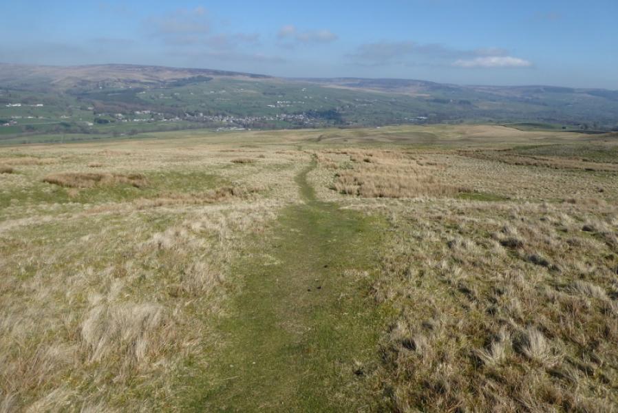
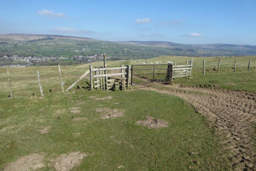
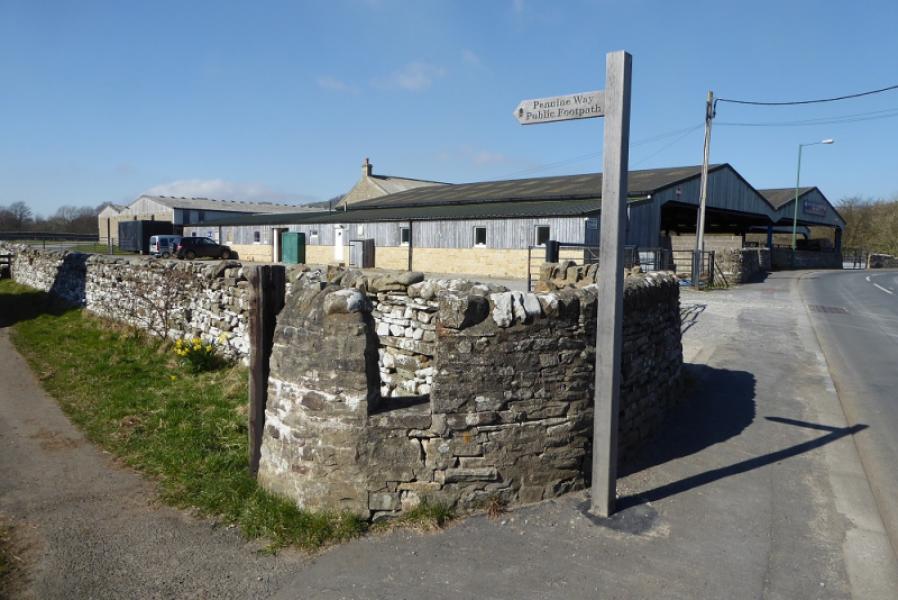
(1) Follow the Pennine Way N with a wall on your right for some distance. At the end of this wall, the wall it meets is crossed then the wall immediately on its right. Continue N, past Kelton Bottom to reach a gate to the right of the barn at Beck Head. Continue, gradually drifting right, to reach a road at How. Turn right until just past the houses then turn left at the Pennine Way sign. After crossing a field, the path enters a very narrow wood (single line of trees) and soon emerges on the road above Grassholme Reservoir. Follow the road across the reservoir then continue up the other side to Grassholme Farm. Follow the sign and go right, through the farm. Follow the track for a short distance then head uphill,N,and cross a stone stile. Continue, roughly N, and soon reach the B6276 road at the entrance to Wythes Hill Farm.
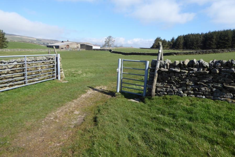
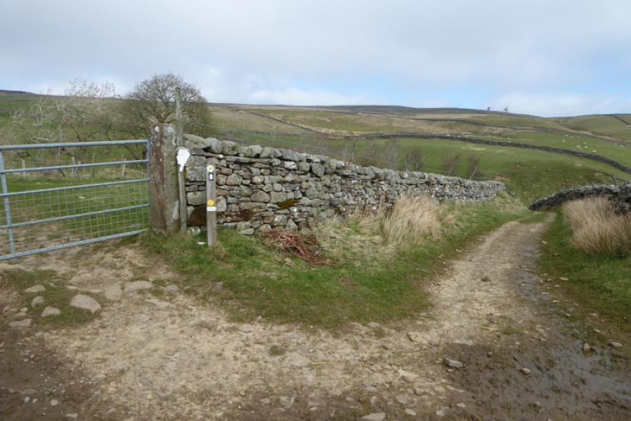
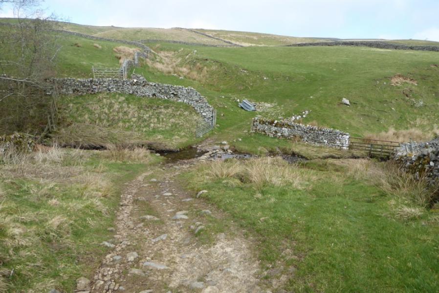
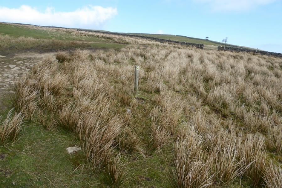
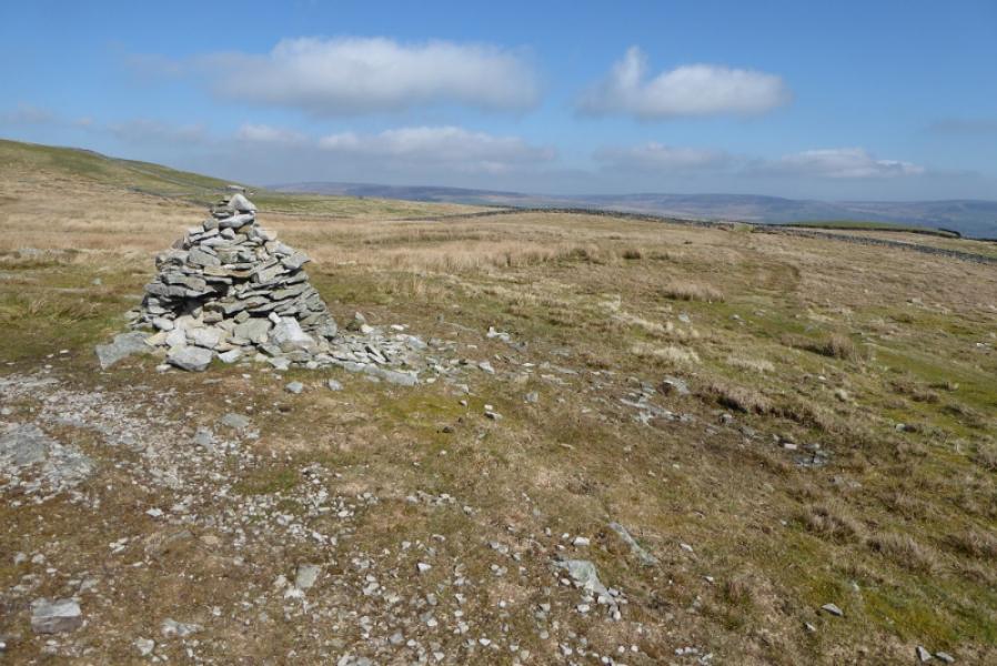
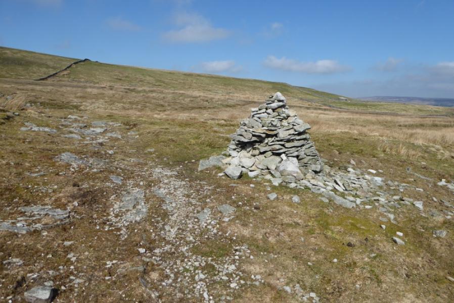
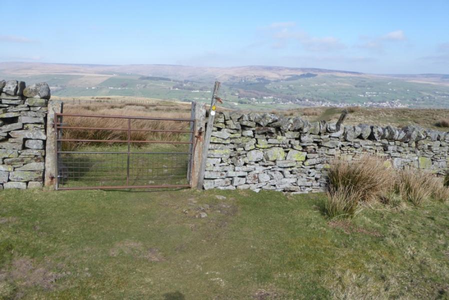
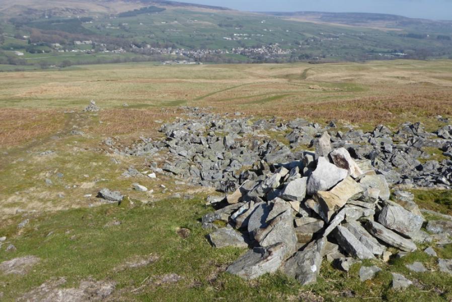
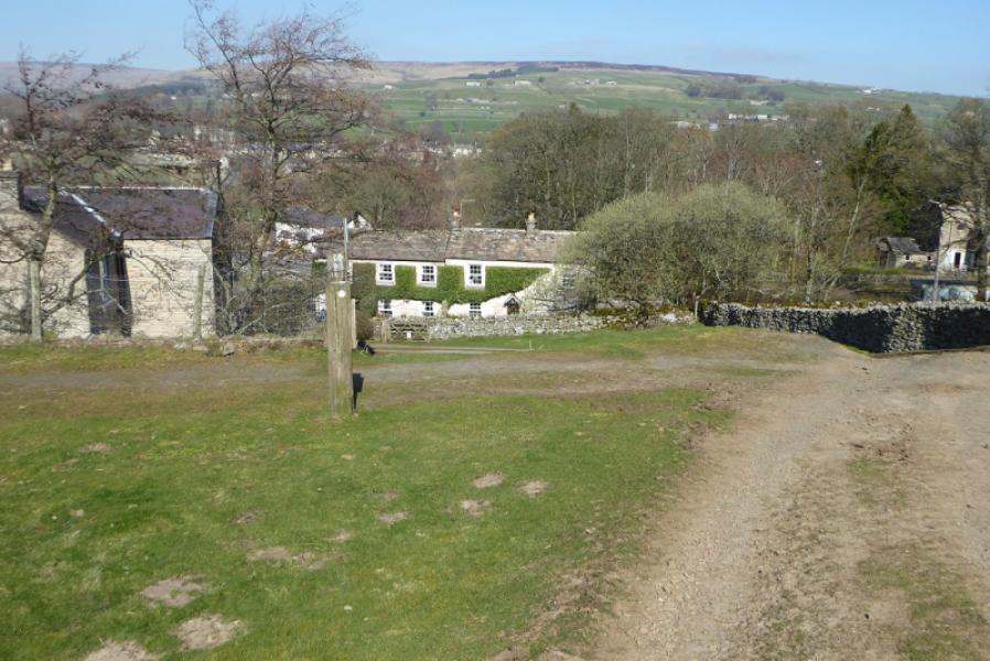
(2) Cross over and follow the access road up to the farm but take the left fork at the farm entrance (signed). At the first house, there is a “tuck shop” where one can buy drinks and snacks. Follow the path, roughly NNE, to cross a track. Continue but soon after, the path swings E. After passing through some walls, reach an obvious cairn where the path splits. Take the cairn path (NE) and follow it to a wall near a stone shed. Continue on the fairly obvious path which soon becomes a wide grassy strip. After crossing a wall, the path descends NE towards Middleton-in-Teesdale. The path is now very easy to follow and signed where needed. It leads down to some houses to meet a road virtually on a Y junction. Turn right then almost immediate left and follow the road over the River Tees and into Middleton-in-Teesdale. Those wishing to continue N on the Pennine should turn left (signed) just before the cattle market which is just befor ethe river.
Notes
(a) This route was walked on 29th March, 2019.
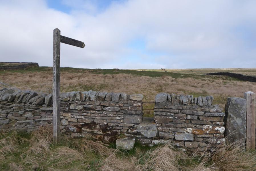
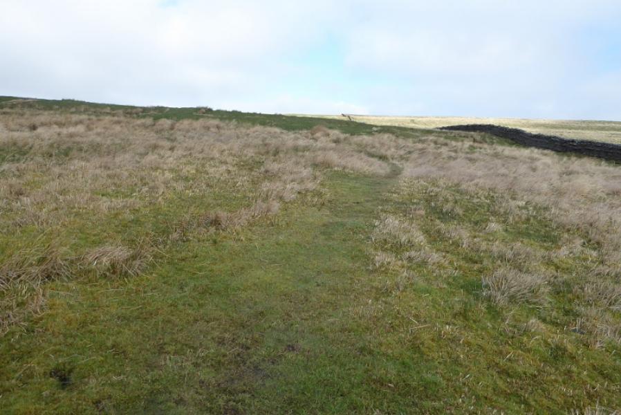
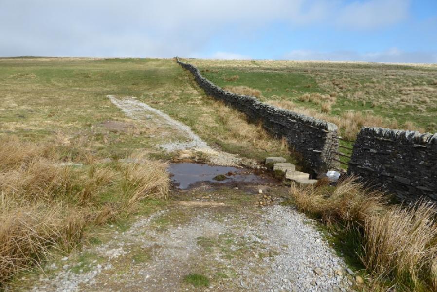
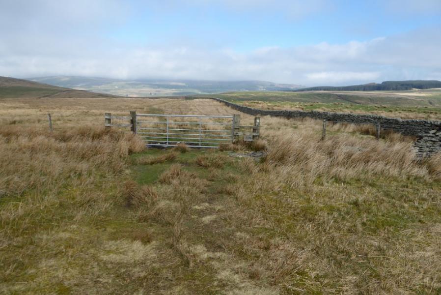
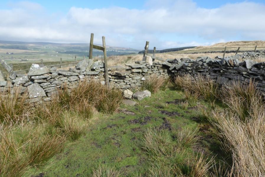
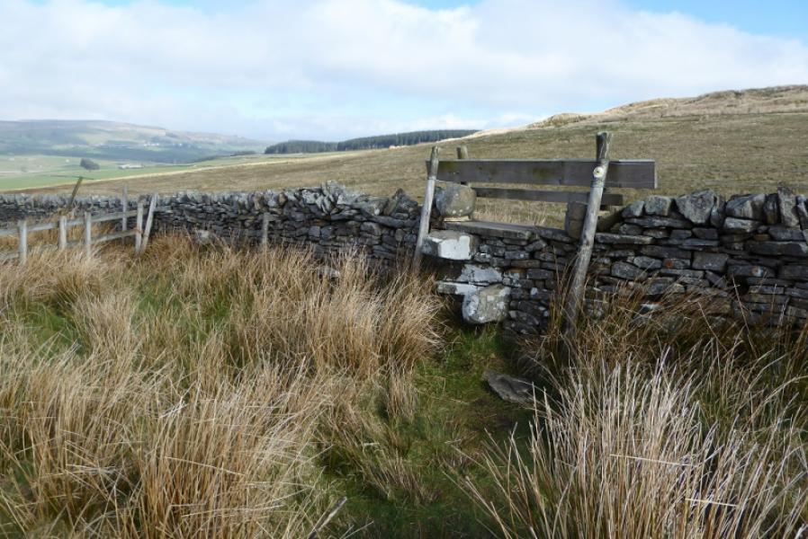
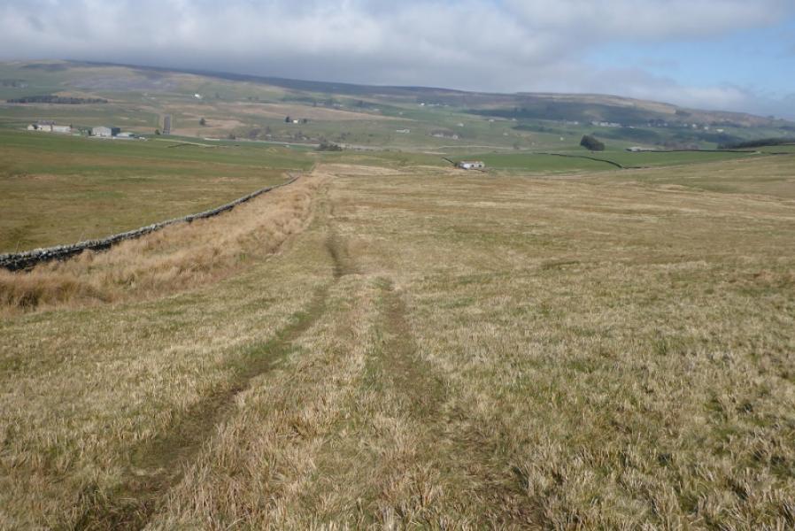
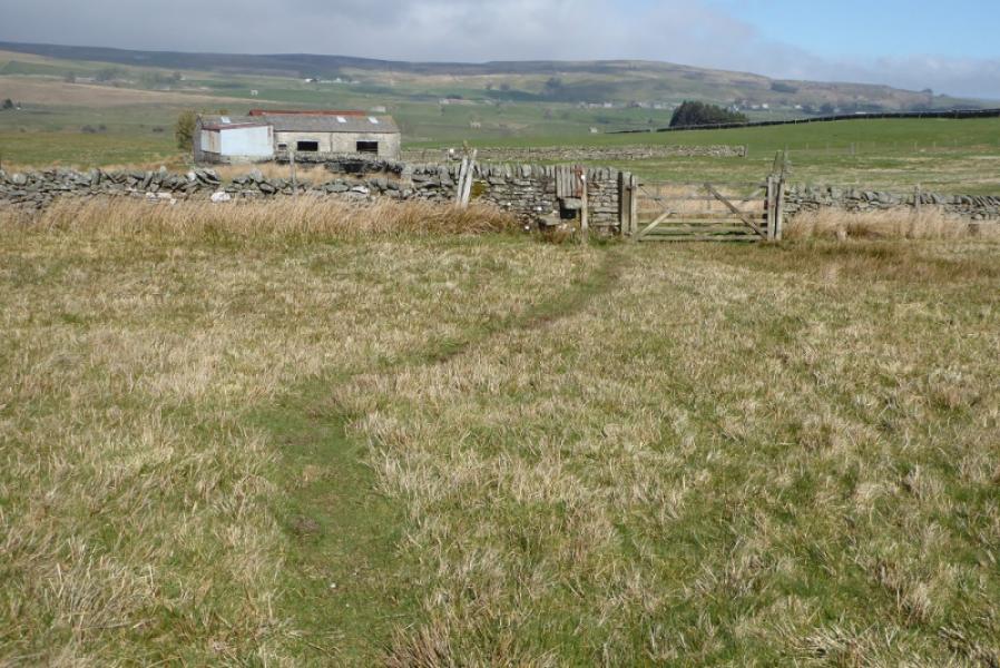
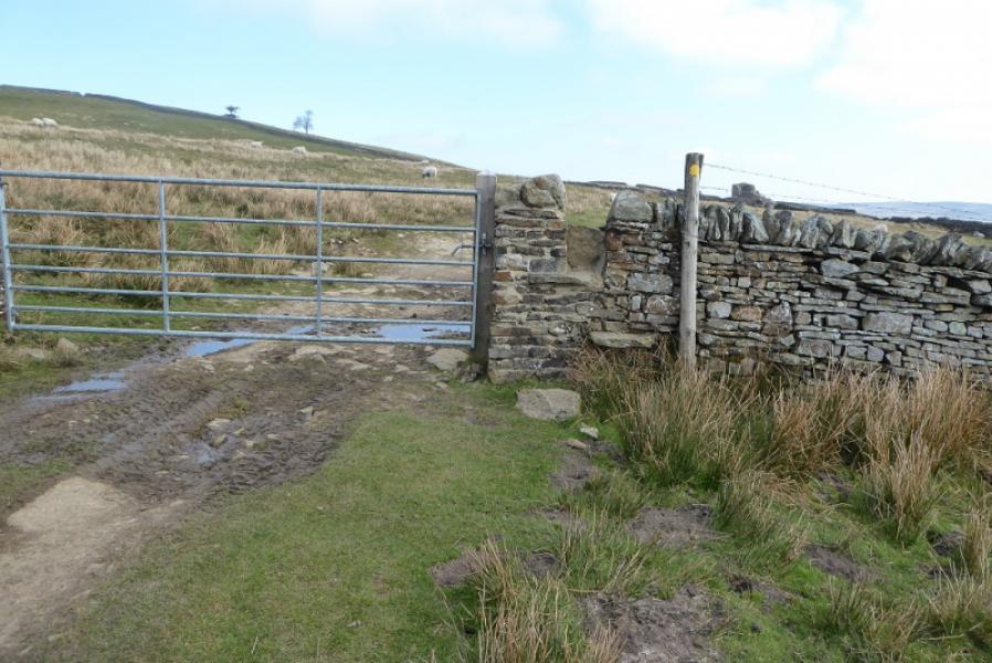
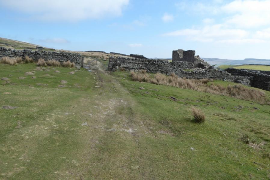
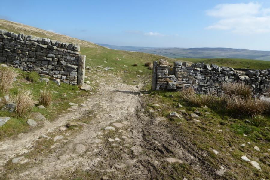
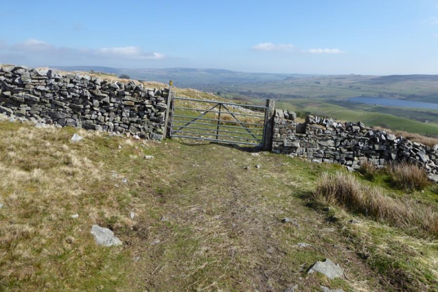
Photos - Hover over photo for caption. Click on to enlarge. Click on again to reduce.