Get Lost Mountaineering
You are here: England » Pennine Way » 4. Hawes to Dufton
7. Cauldron Snout to Dufton via Pennine Way
7. Cauldron Snout to Dufton via Pennine Way
Start/Finish
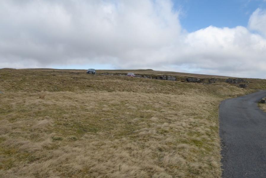
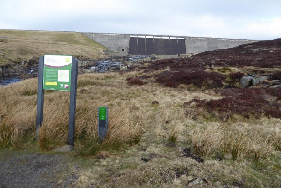
If walking through in one go from Teesdale to Dufton then this walk is simply a continuation of where the one to Cauldron Snout ended below Cow Green Dam. If doing this walk in isolation then the nearest road is about 2 km from the Cow Green Dam. In this case, take the road to Cow Green Reservoir from the Langdon Beck Hotel for about 2.7 miles to the car park just after the NO Entry sign on the private left fork. The finish is in Dufton village. The route is described from the car park.
Distance/Time
17 km (from Cow Green car park) About 5 hours
Peaks
No peaks as such but the highest point reached is almost 600 m.
OS 1: 50 000, Sheet 91: Appleby-in-Westmorland
OS 1: 25 000 OL 31: North Pennines: Teesdale & Weardale
Introduction
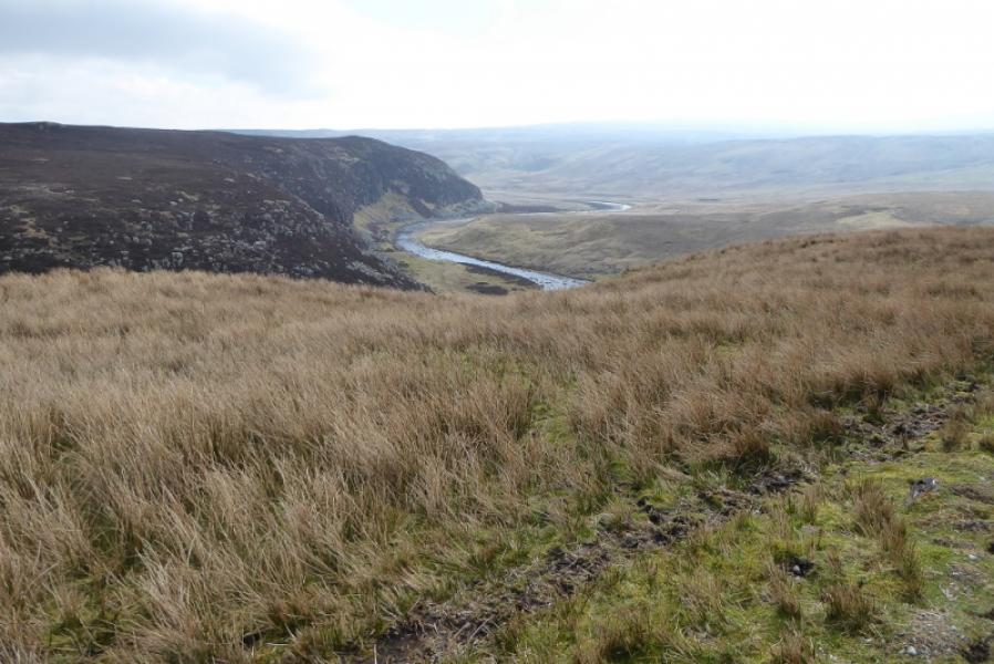
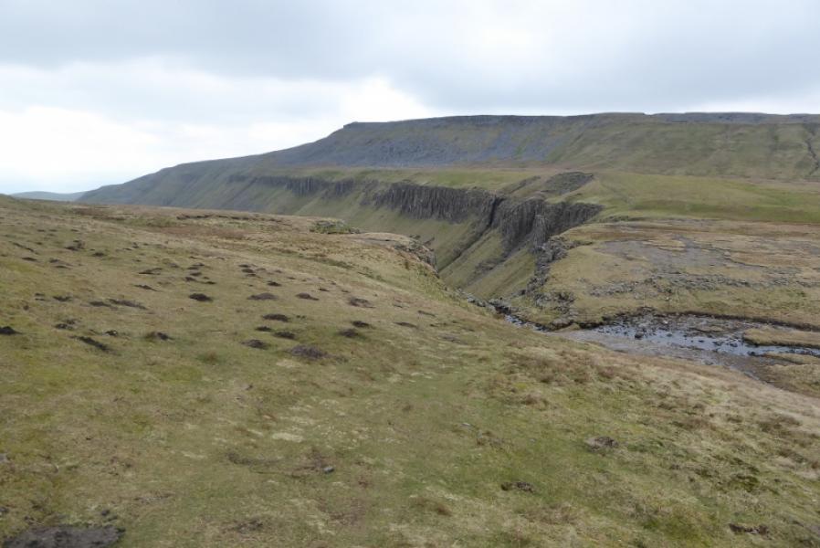
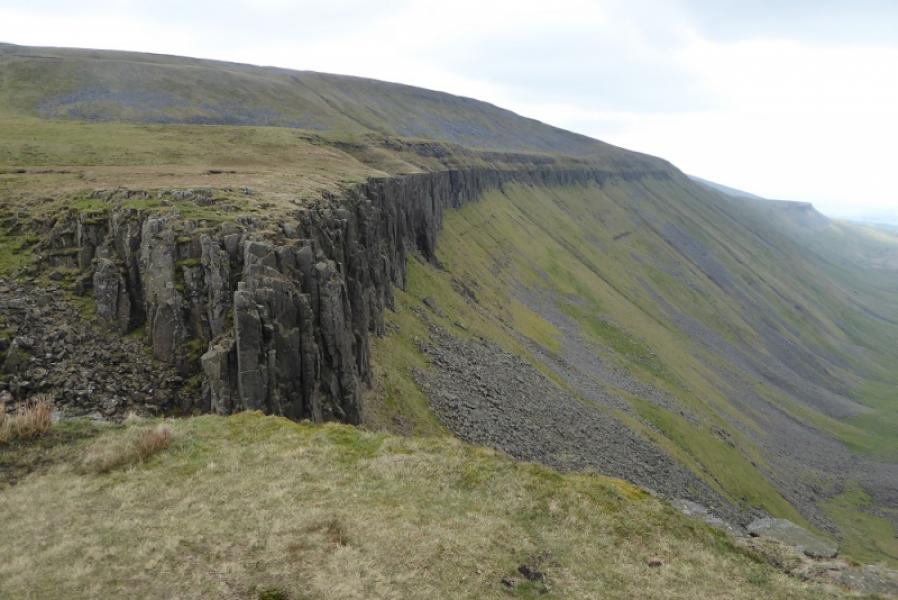
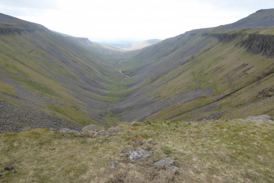
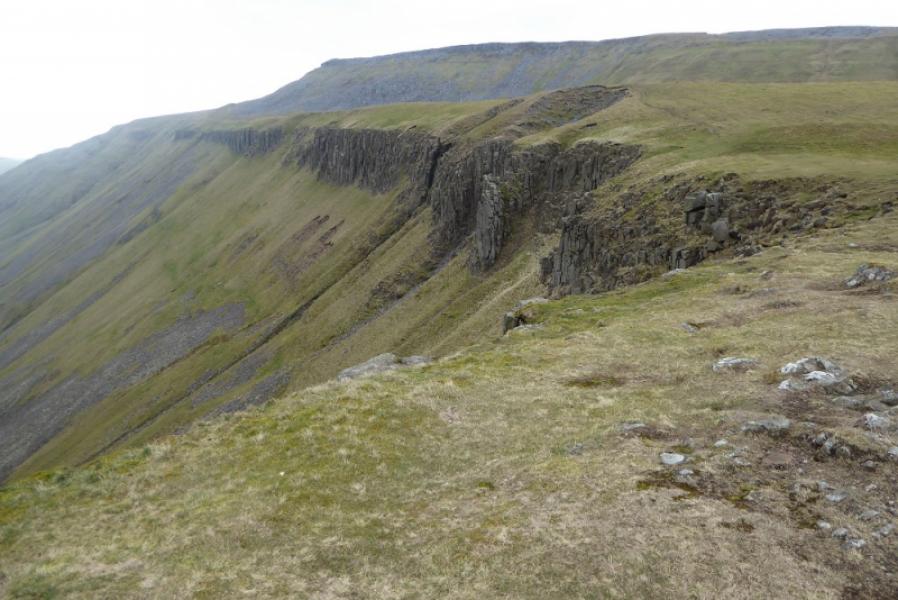
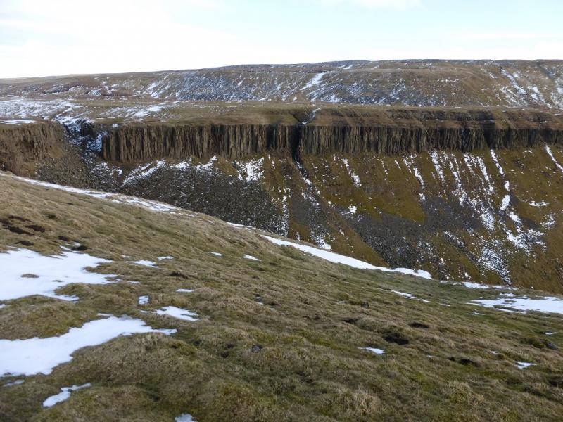
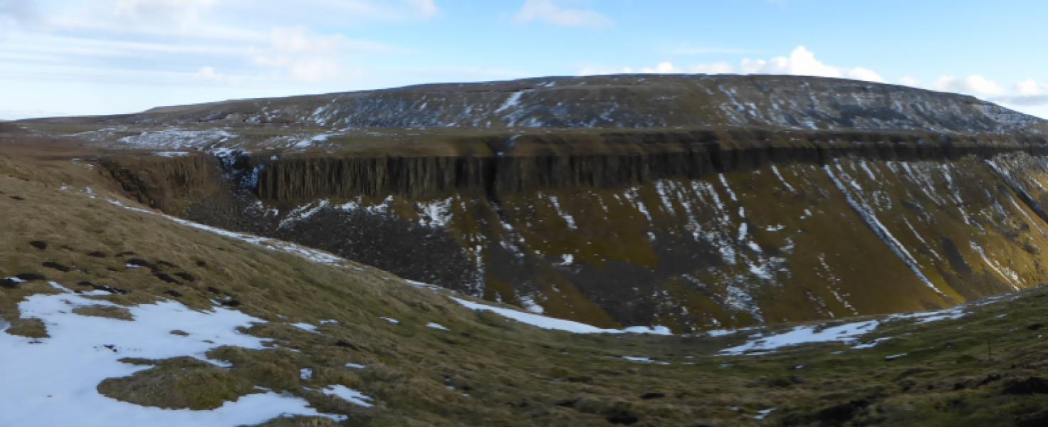
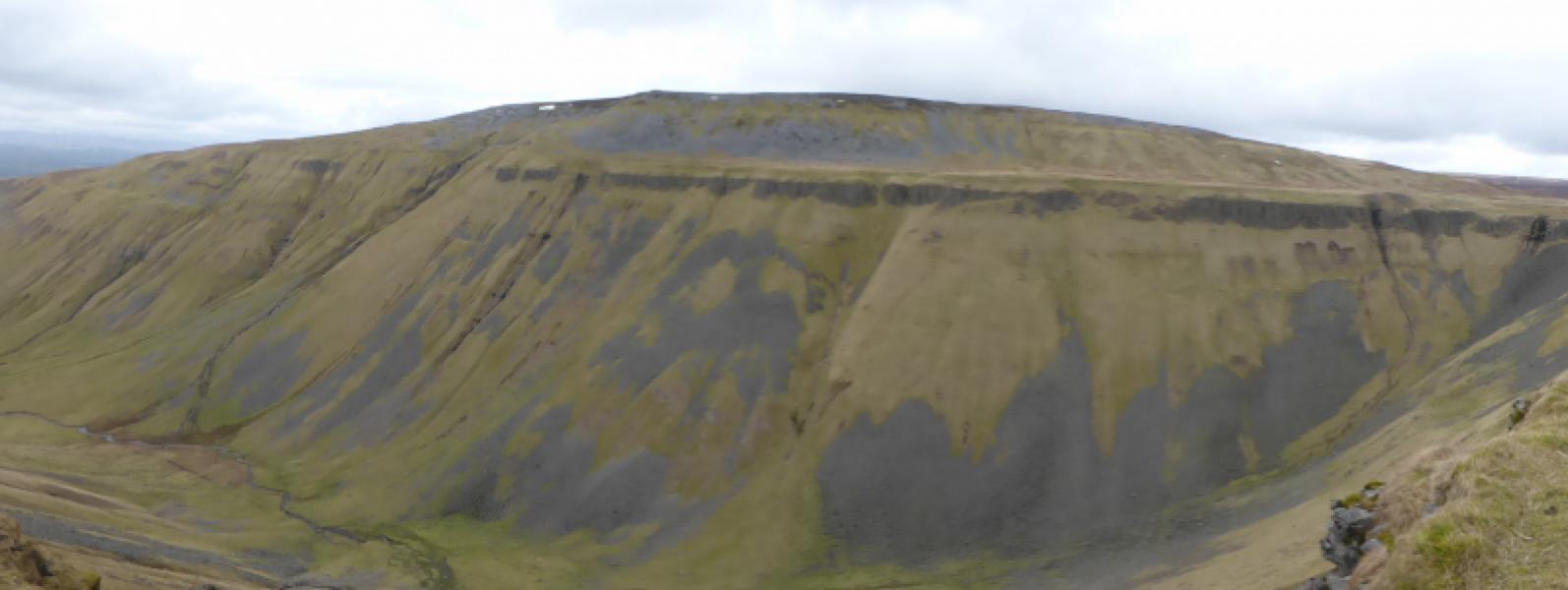
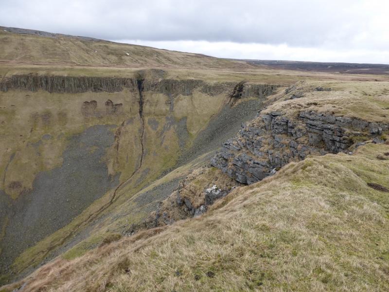
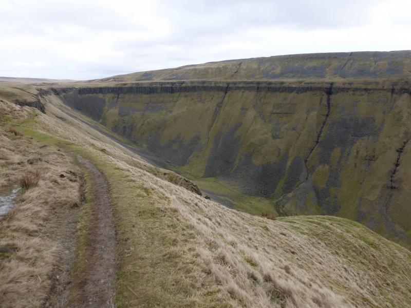
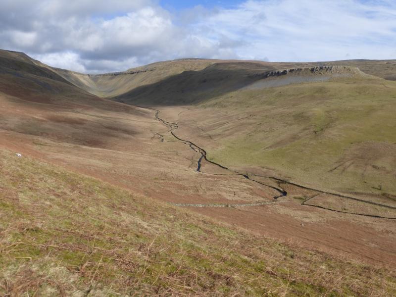
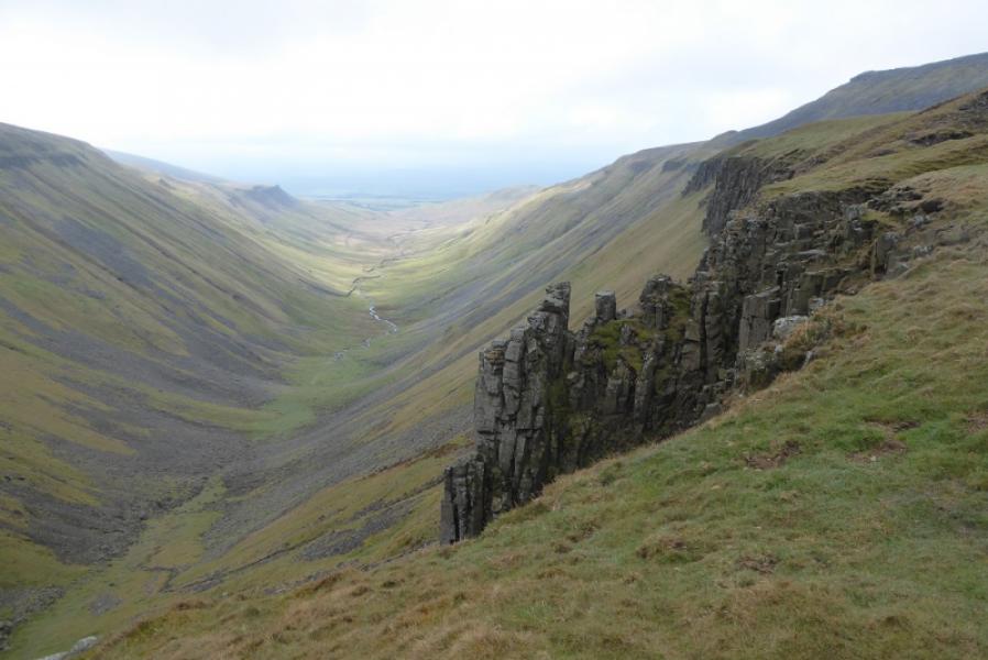
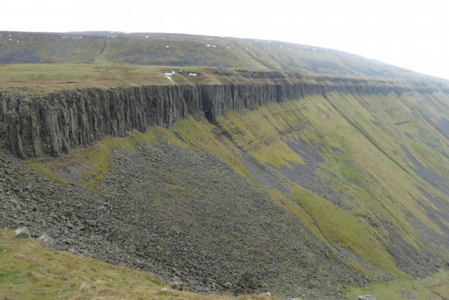
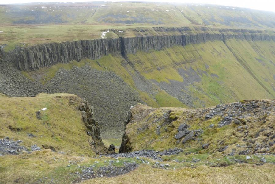
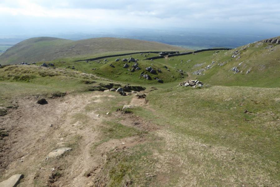
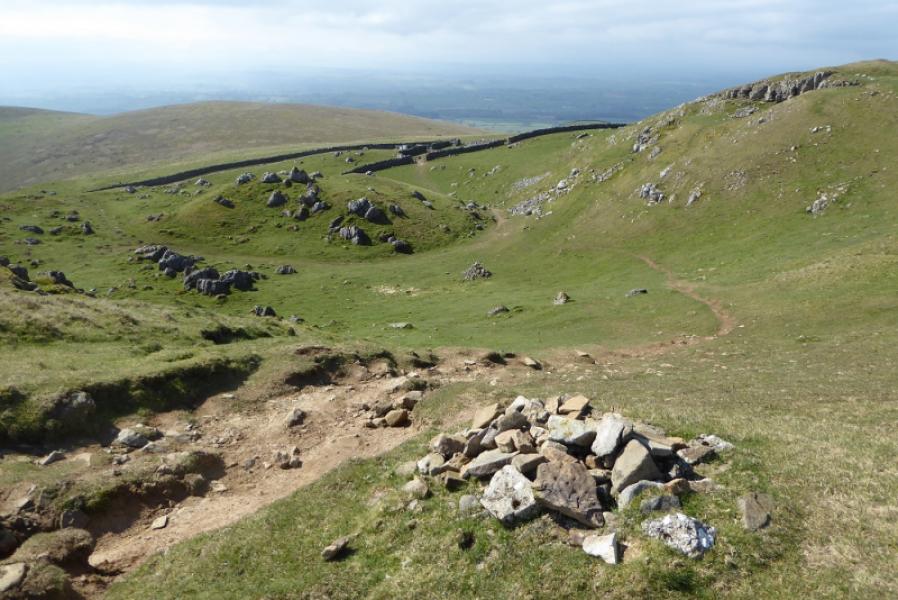
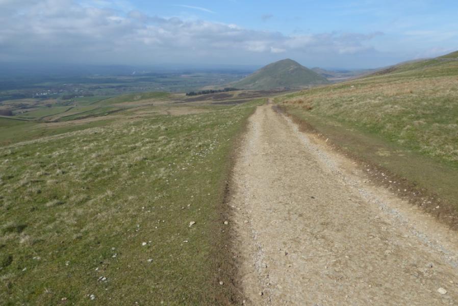
This is a relatively straightforward section of the Pennine Way in terms of navigation as much of it is on vehicle tracks. There are good views to Mickle Fell and Meldon Hill. On a clear day, the trio of Great Dun Fell, Little Dun Fell and Cross Fell are seen to the right of Meldon Hill near to the car park. Those continuing from below the dam will not see them. The undoubted highlight of the walk is High Cup Nick which is a V shaped valley with cliffs either side. On this route, it is not seen until very close.
Route
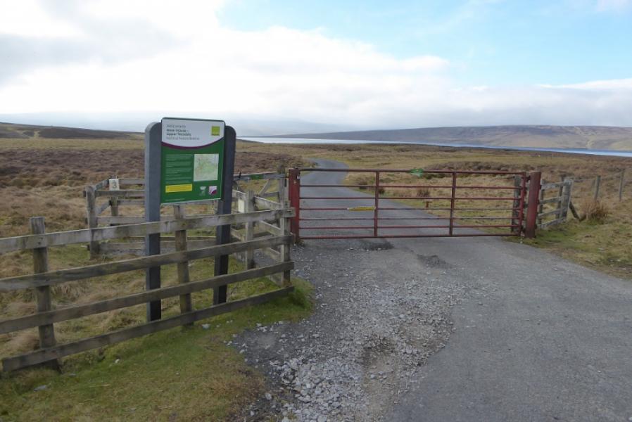
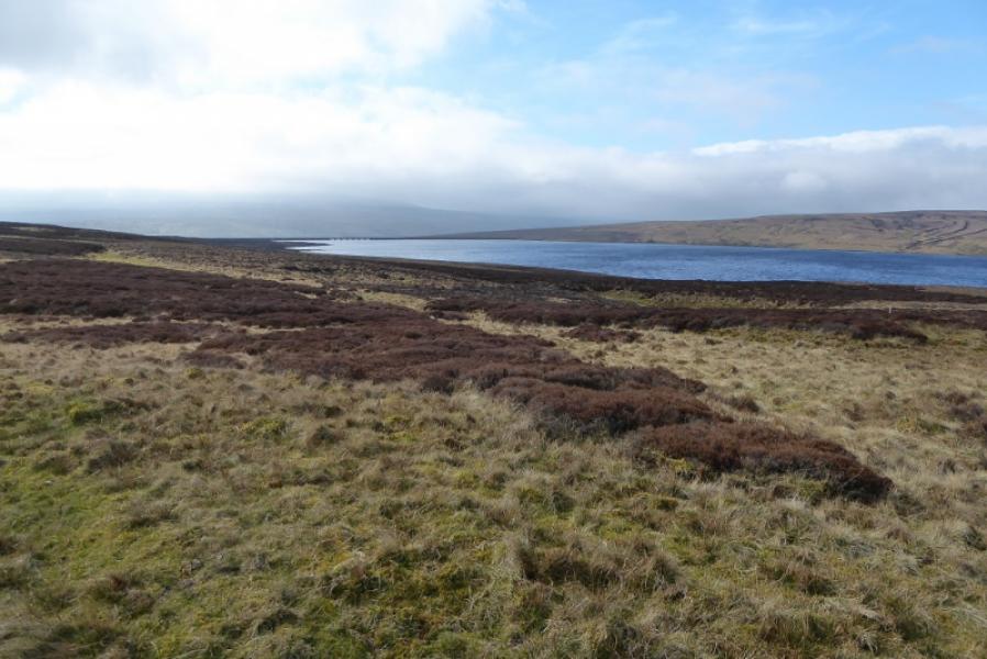
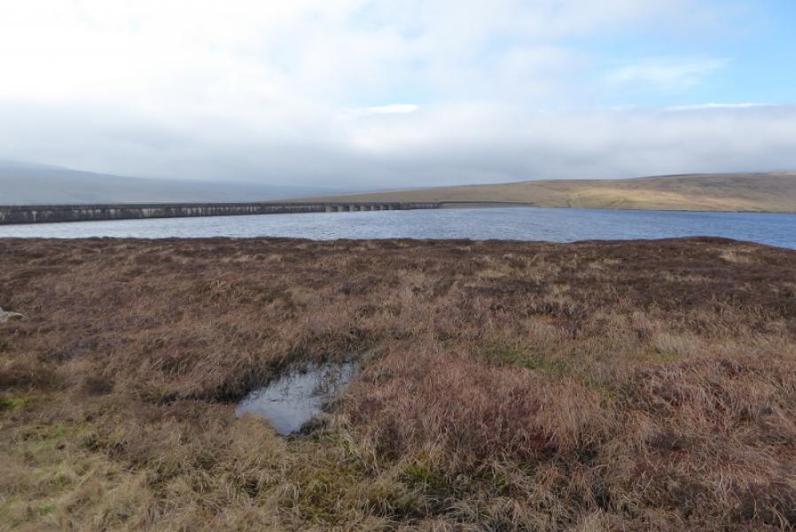
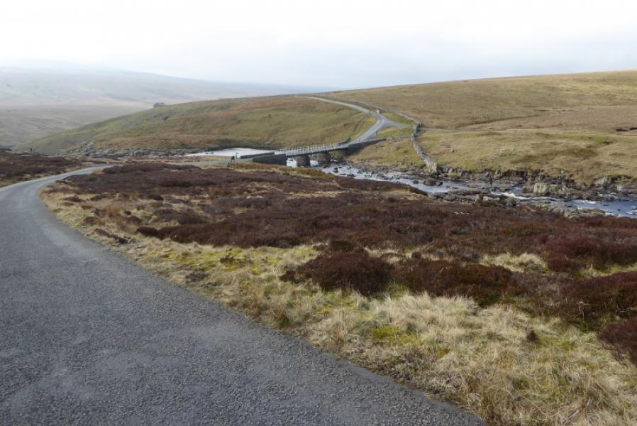
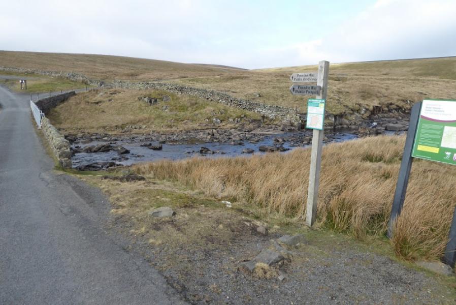
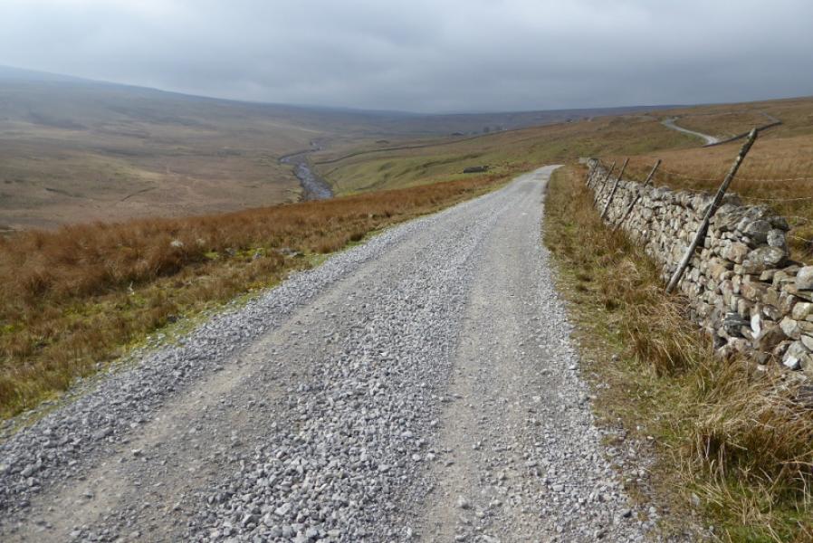
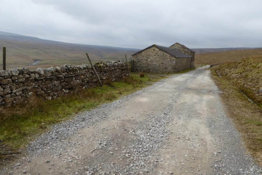
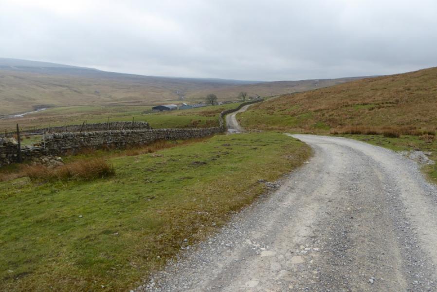
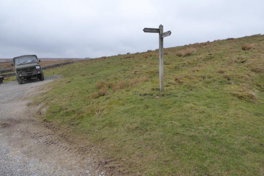
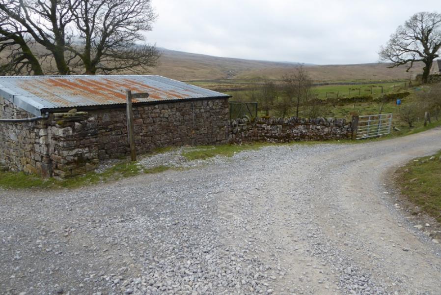
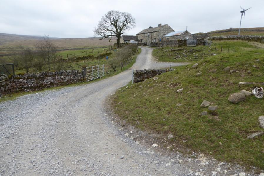
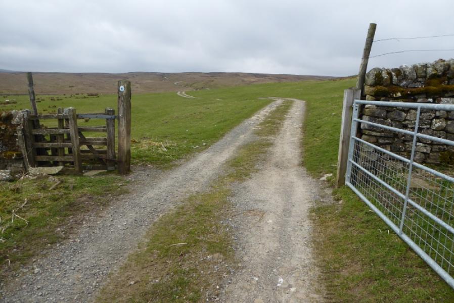
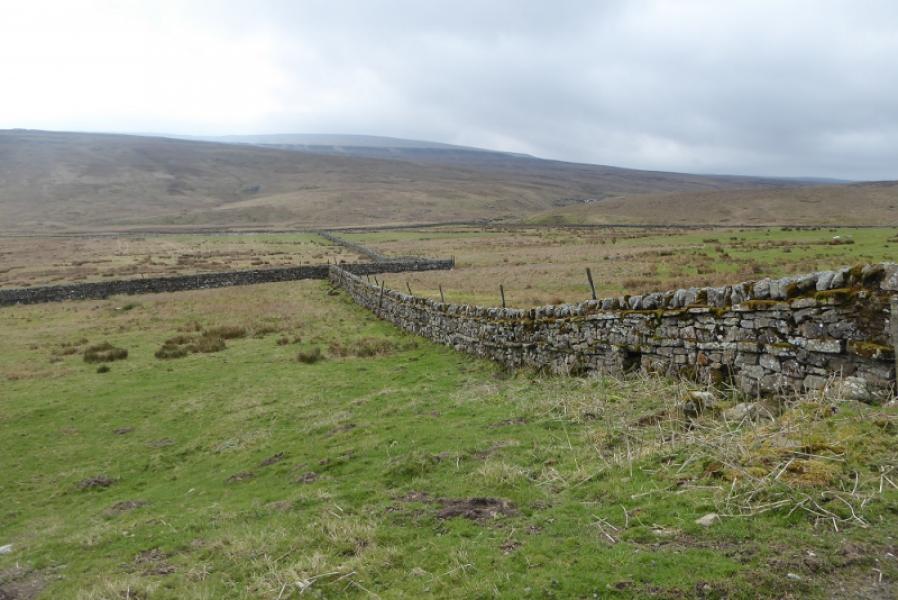
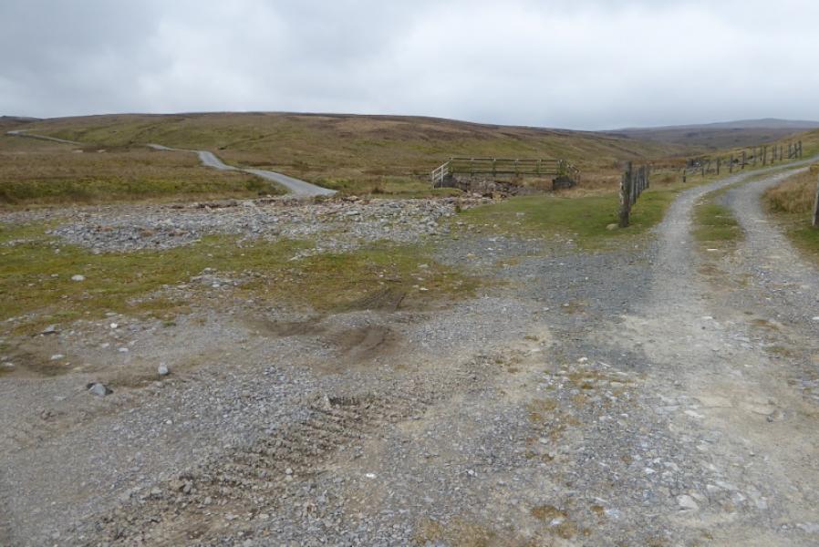
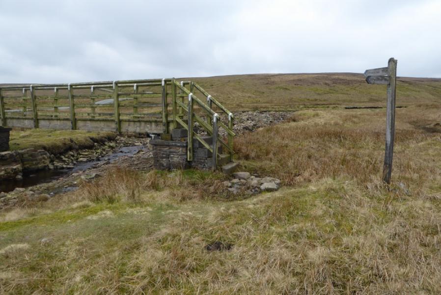
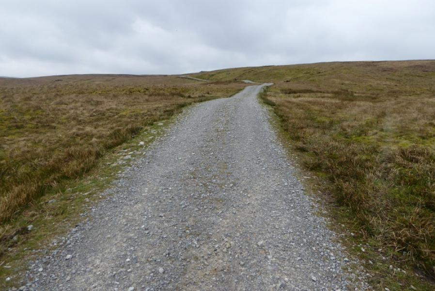
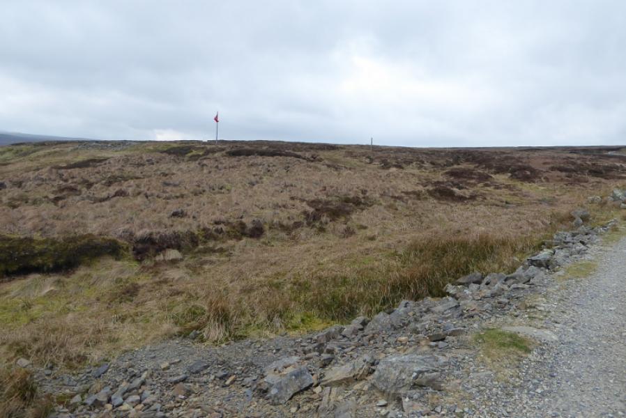
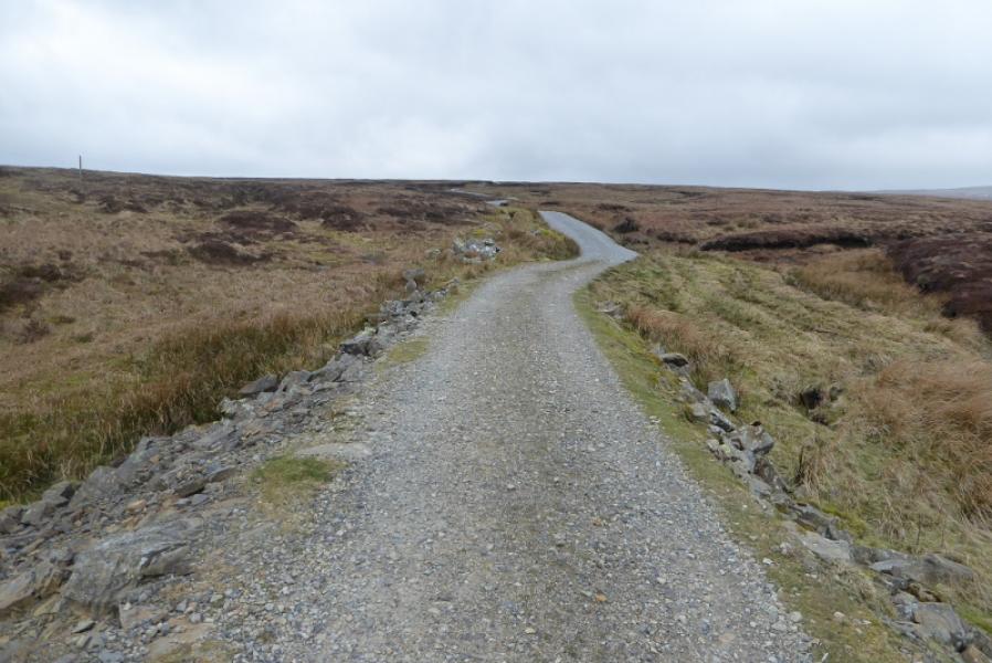
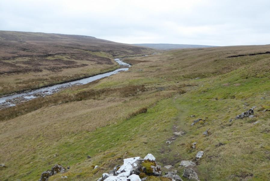
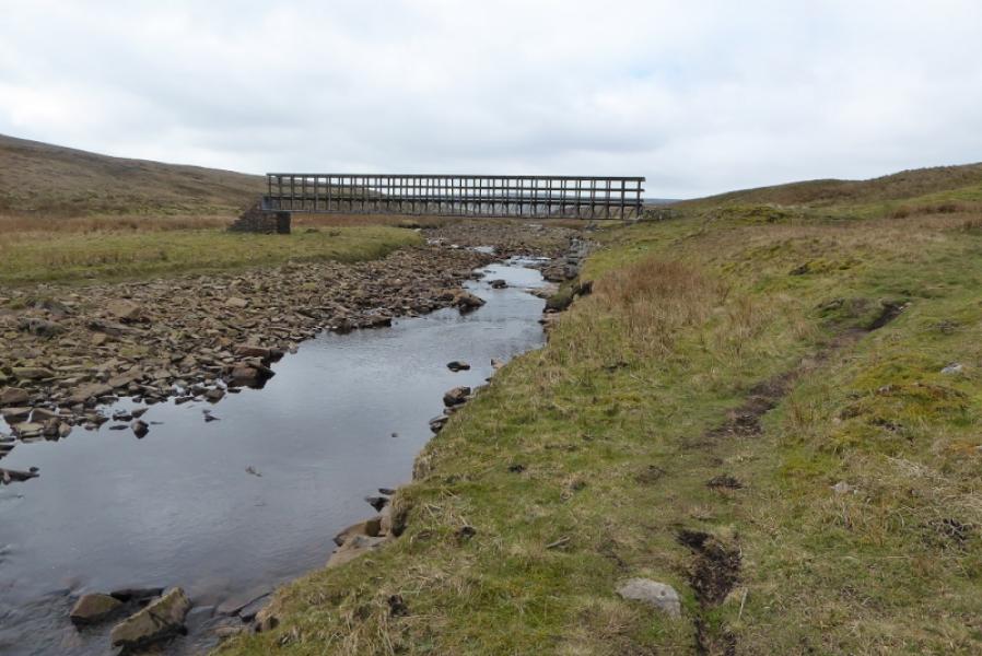
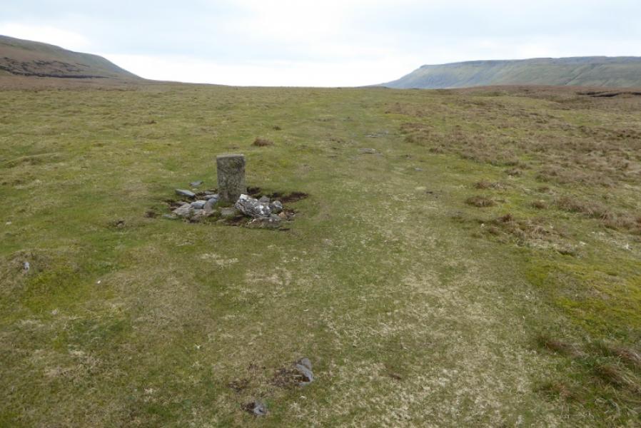
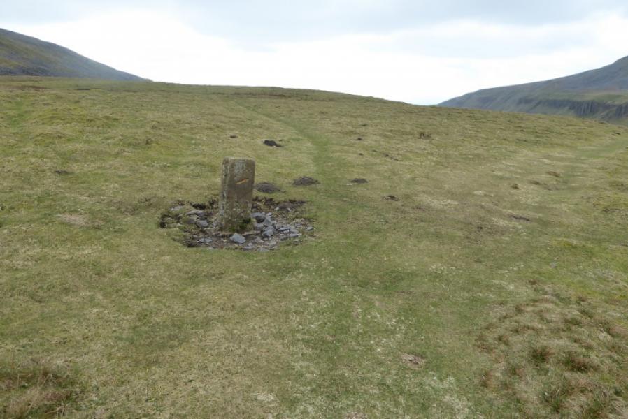
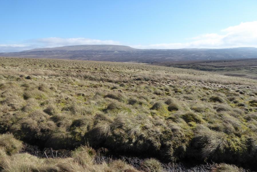
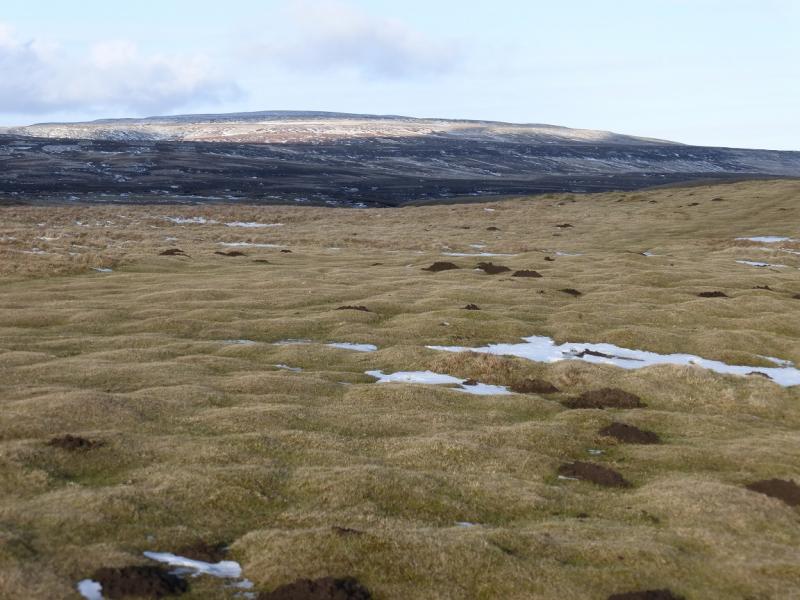
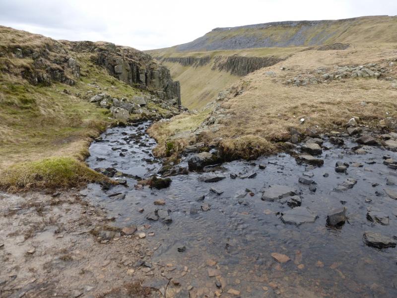
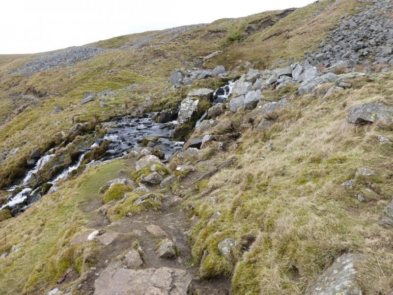
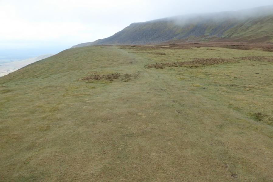
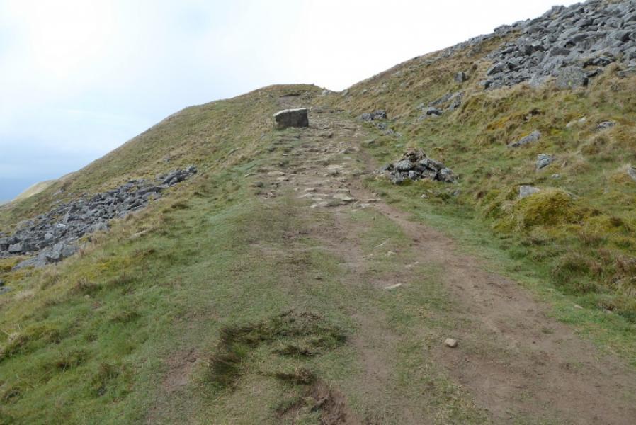
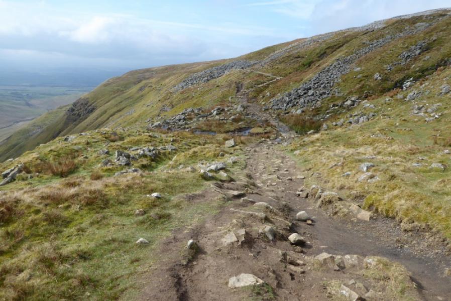
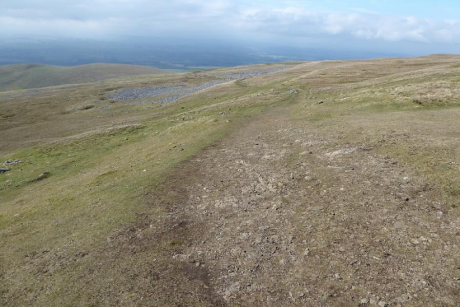
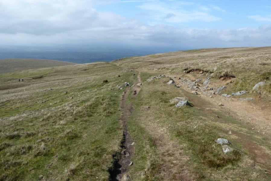
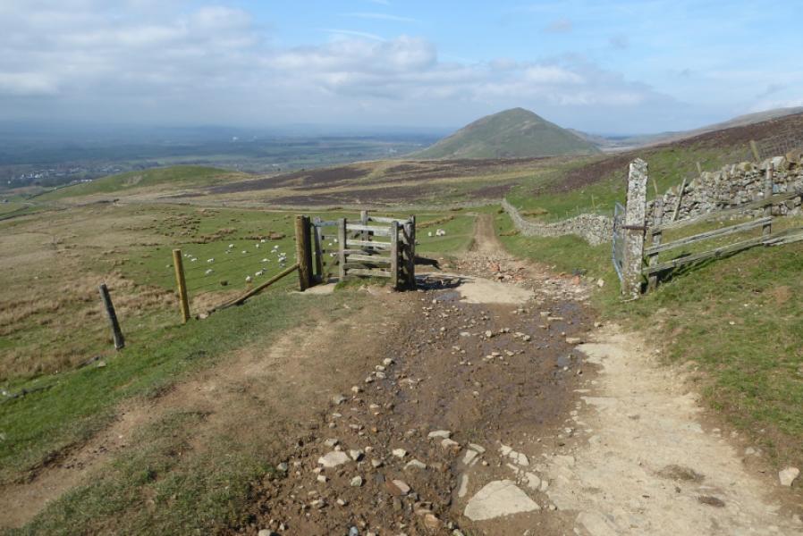
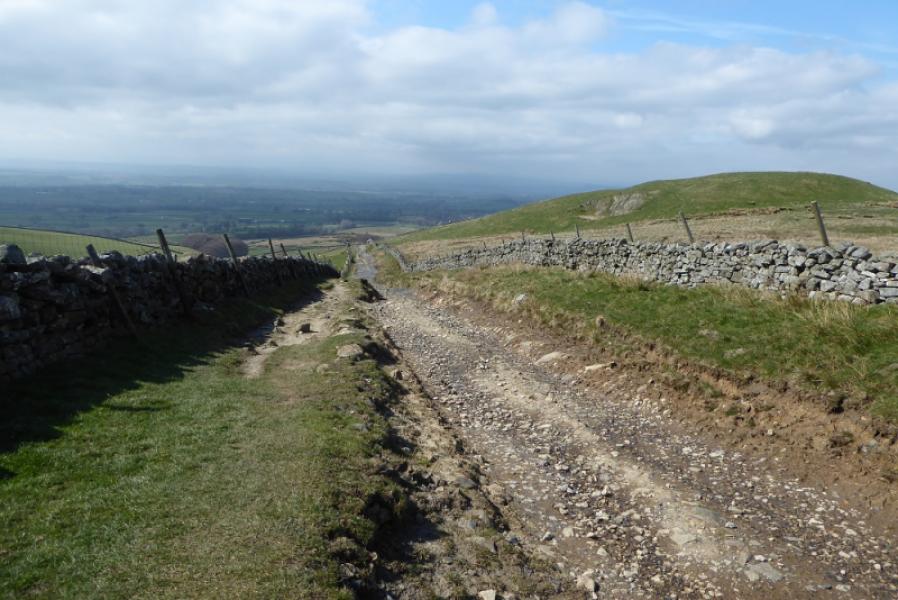
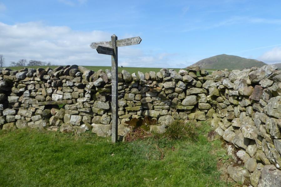
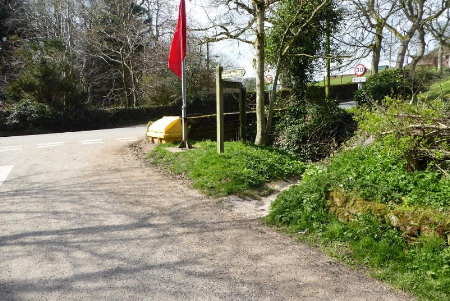
(1) From the car park, take the No Entry track and follow the tarmac road to a gate. Go through and follow another tarmac road to the Cow Green Dam. Take the track passing below the dam then the track going roughly SW (not the track up the other side of the dam). Follow this track for some distance passing through Birkdale farm after which the track climbs fairly steeply to reach a flagpole where a red flag will be flying if military activities are taking place – they do not affect access along the Pennine Way. Continue along the track. At around its highest point, a signed path goes off left and descends to Maize Beck. The Pennine Way follows the beck upstream to a bridge. Cross over and follow the fairly obvious path which soon becomes short grass with occasional marker stones. Reach the apex of High Cup Nick where the gill tumbles down steep rocks.
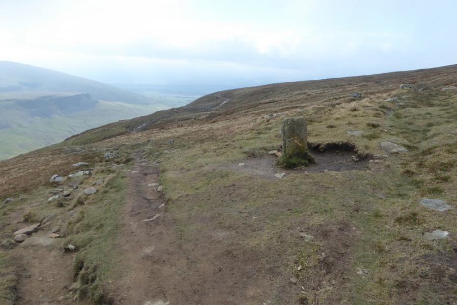
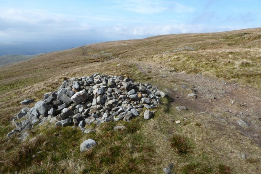
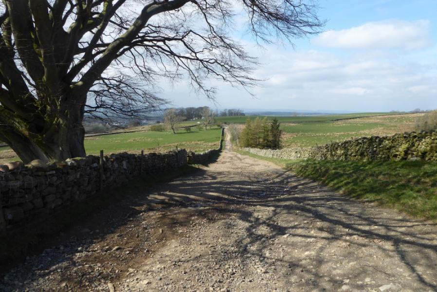
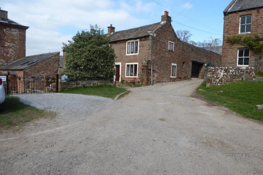
(2)The Pennine Way continues along the N side of High Cup Nick. The actual Pennine Way is set back slightly with a fainter path nearer to the edge. Both join up later on. A sort of easy angled waterfall is crossed. Follow the Pennine Way down, passing several cairns until it reaches the top of a lane below Peeping Hill. The lane leads down a road on the edge of Dufton. Turn right and walk back into Dufton.
Notes
(a) This walk took place on 28th March, 2019.
Photos - Hover over photo for caption. Click on to enlarge. Click on again to reduce.