Get Lost Mountaineering
You are here: England » Pennine Way » 4. Hawes to Dufton
6. Middleton-in-Teesdale to Cauldron Snout via Pennine Way
6. Middleton-in-Teesdale to Cauldron Snout via Pennine Way
Start/Finish
Middleton-in-Teesdale centre where there seems to be plenty of free parking. The finish, just below the Cow Green Dam, unusually, is 2 km from a public road on a private tarmac road which is very easy to cycle.
Distance/Time
19 km. About 5 – 6 hours.
Peaks
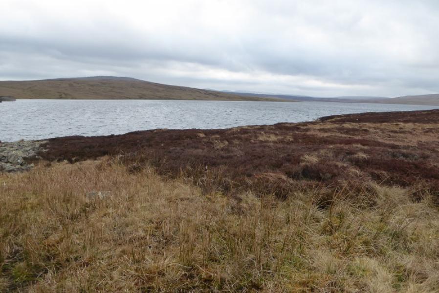
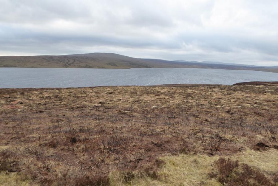
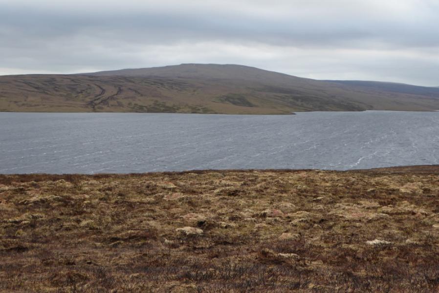
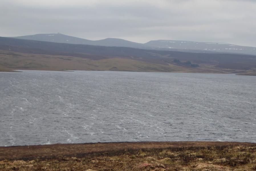
No actual peaks but the highest point reached is about 500 m alongside Cow Green Reservoir.
OL31 North Pennines: Teesdale & Weardale
Introduction
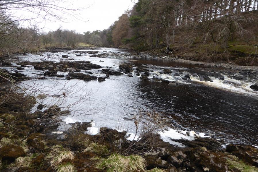
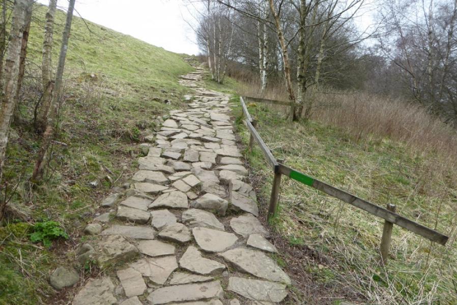
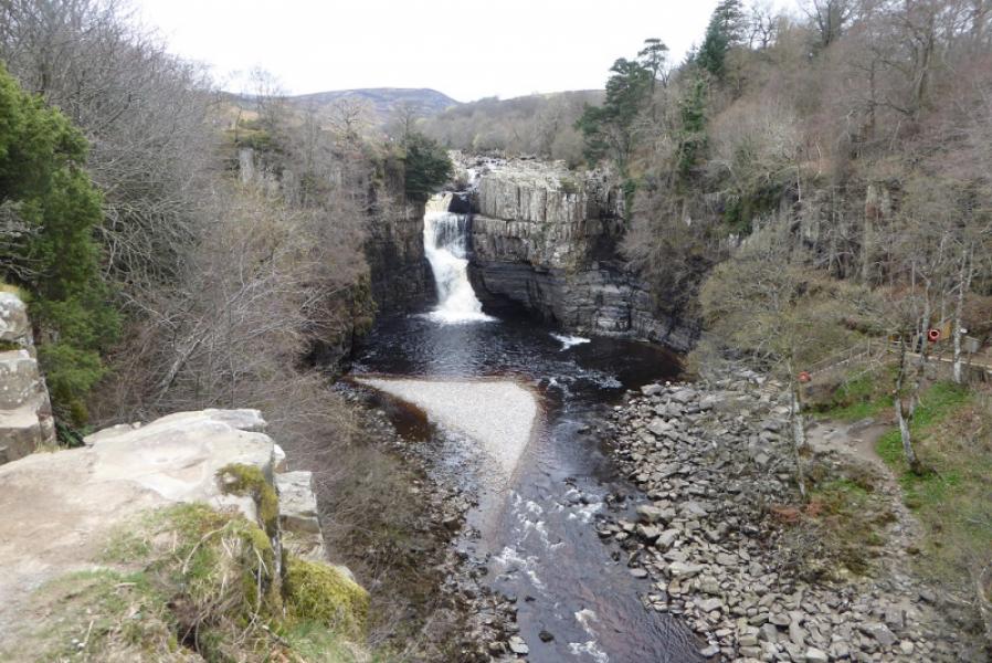
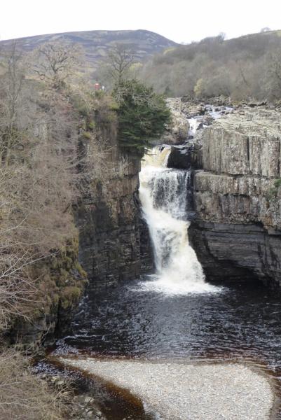
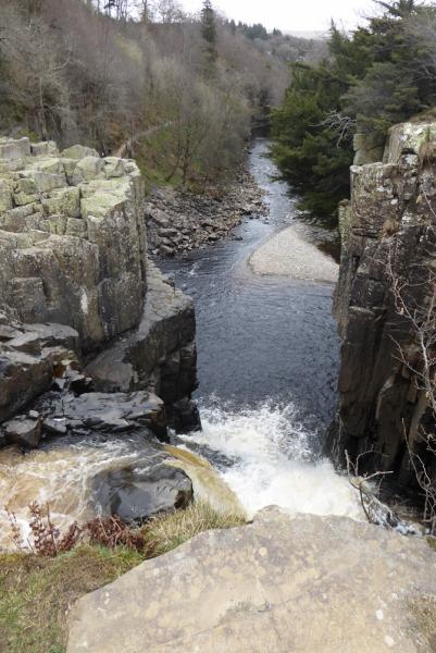
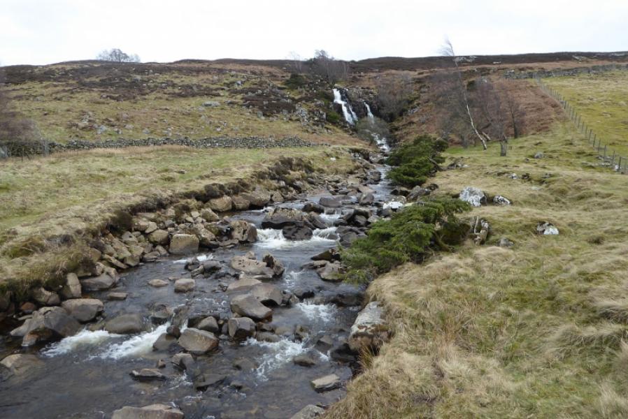
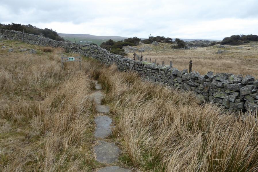
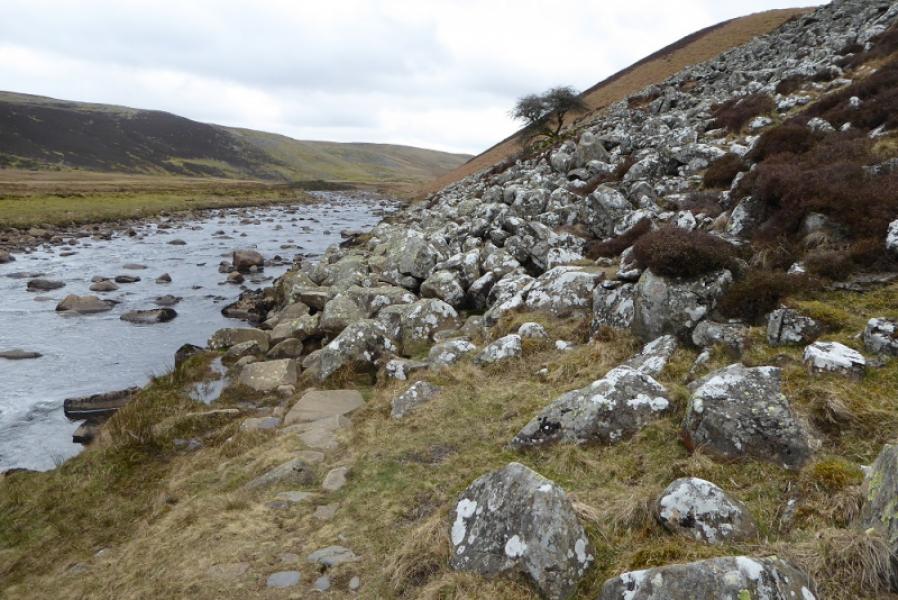
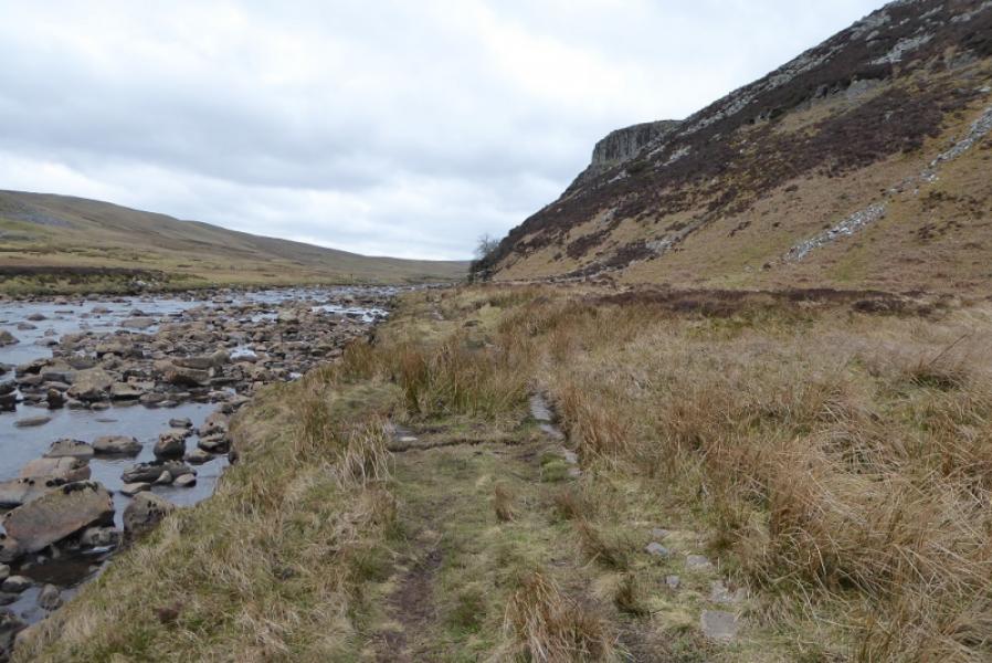
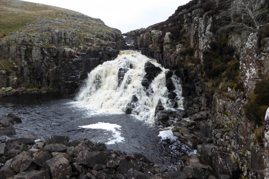
This route is entirely on the Pennine Way. In clear weather it is very easy to follow. There are few difficulties: boulder fields are crossed in Falcon Clints and care is needed ascending the side of Cauldron Snout. There are 3 prominent waterfalls on this route: Low Force, High Force and Cauldron Snout. There are many stiles on the first half of this route.
Route
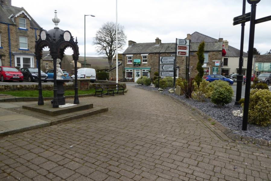
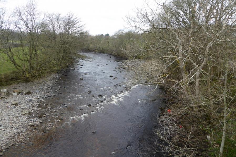
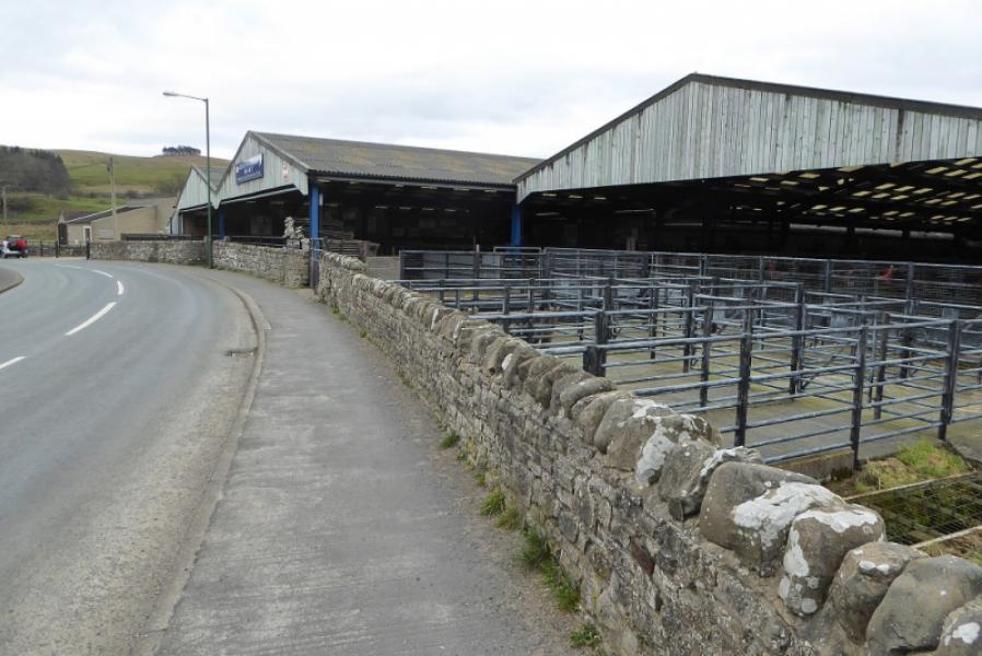
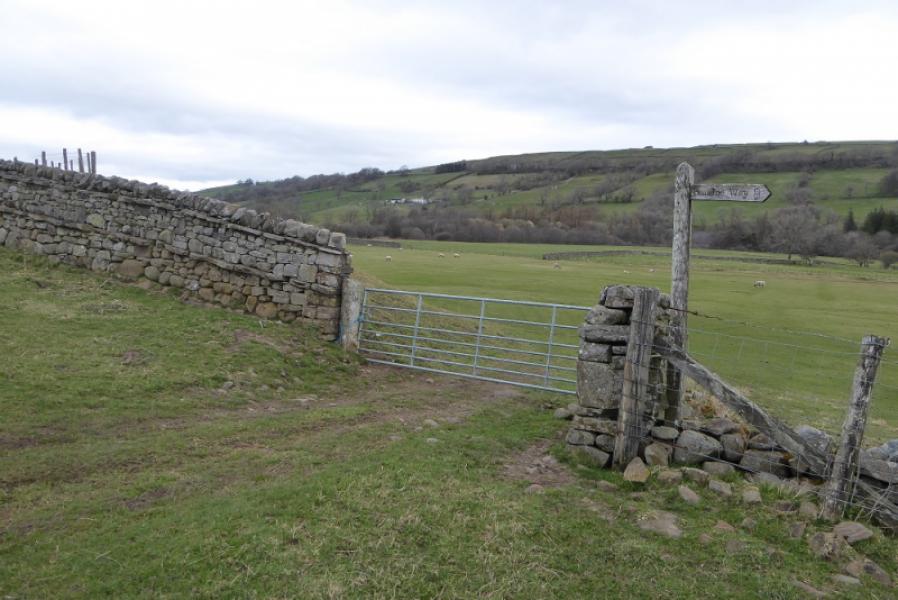
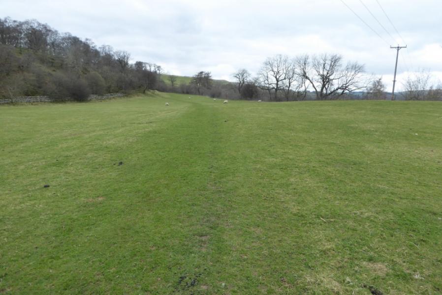
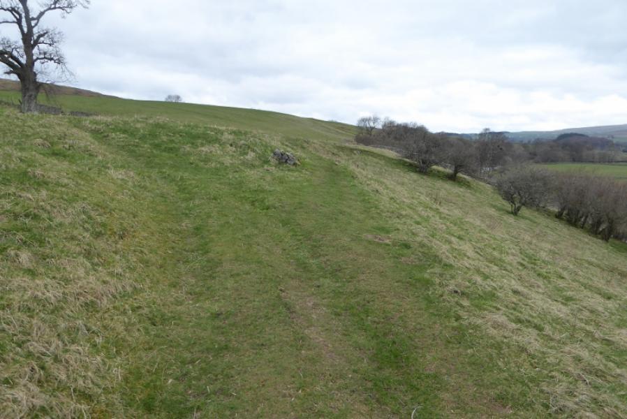
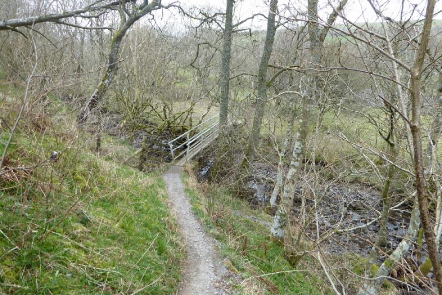
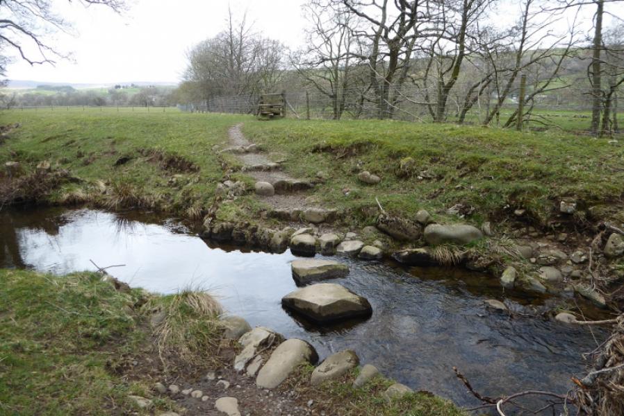
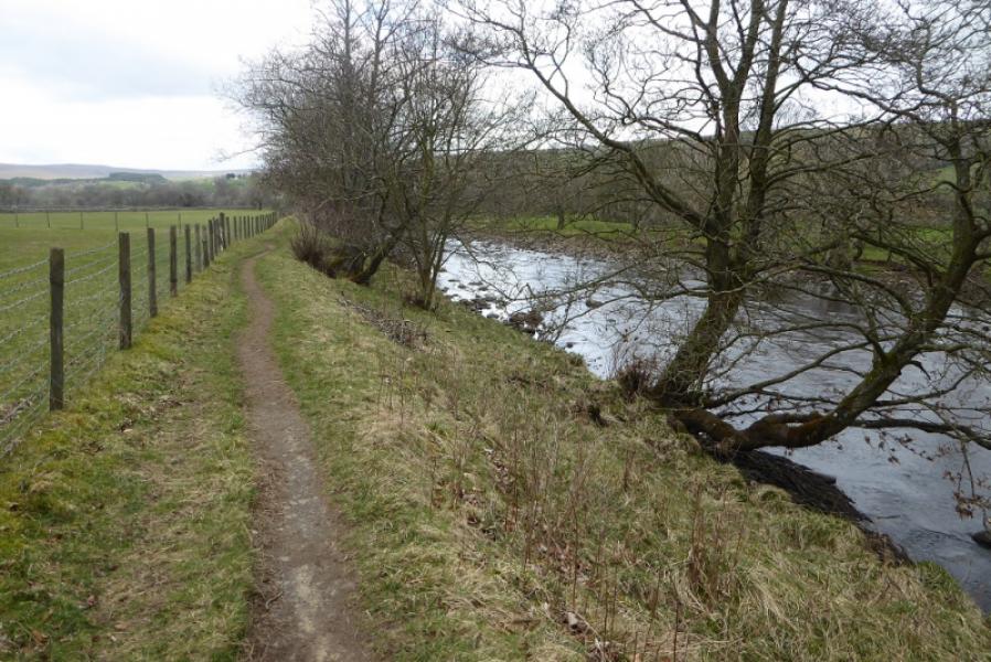
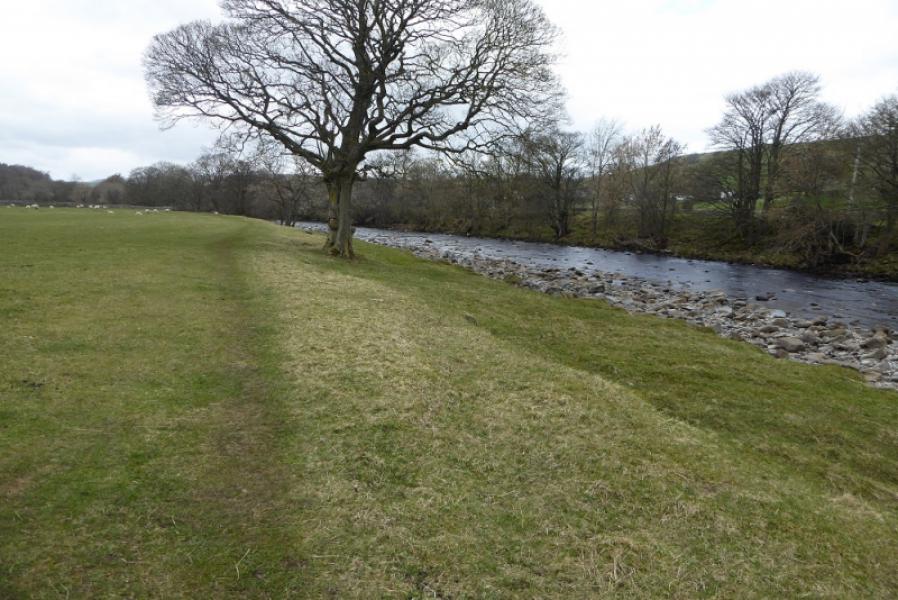
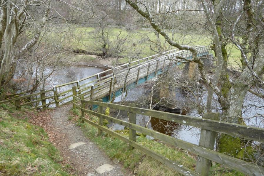
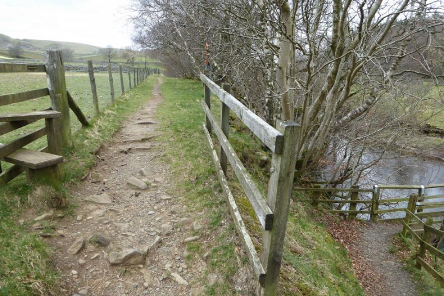
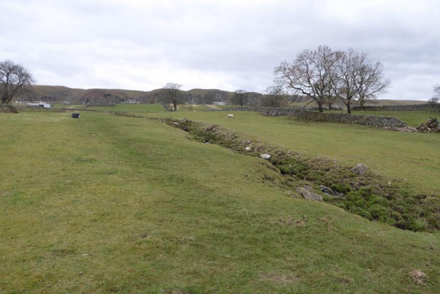
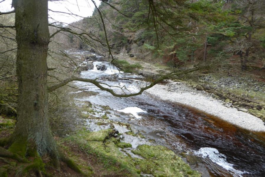
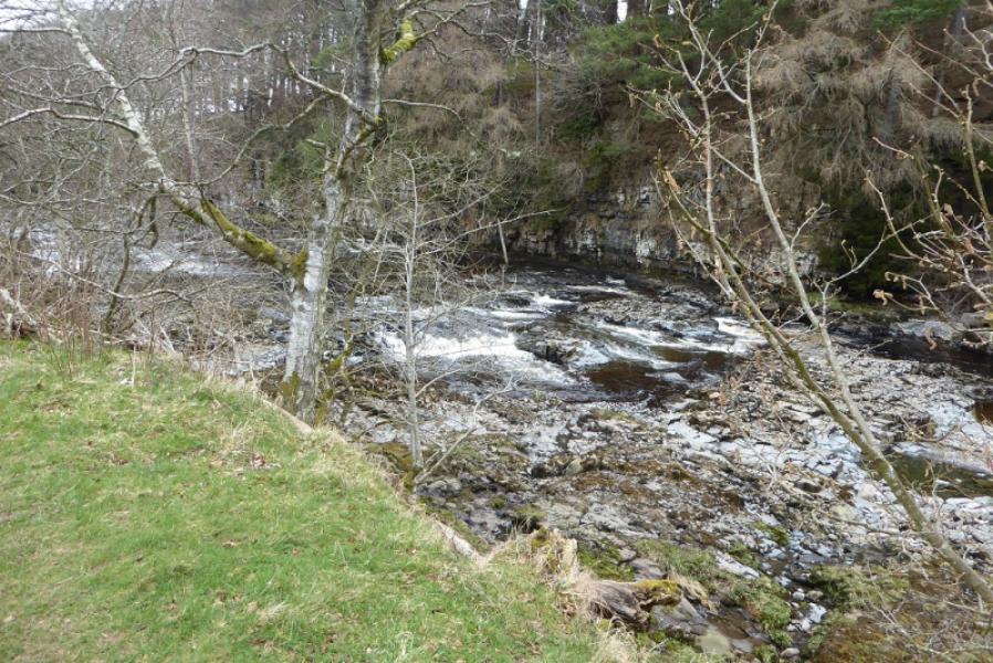
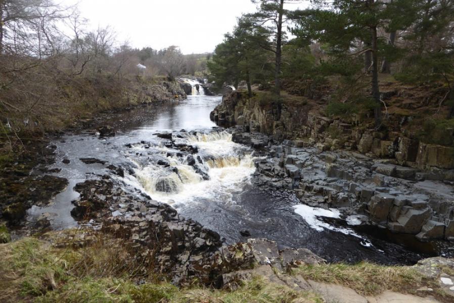
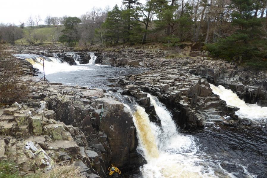
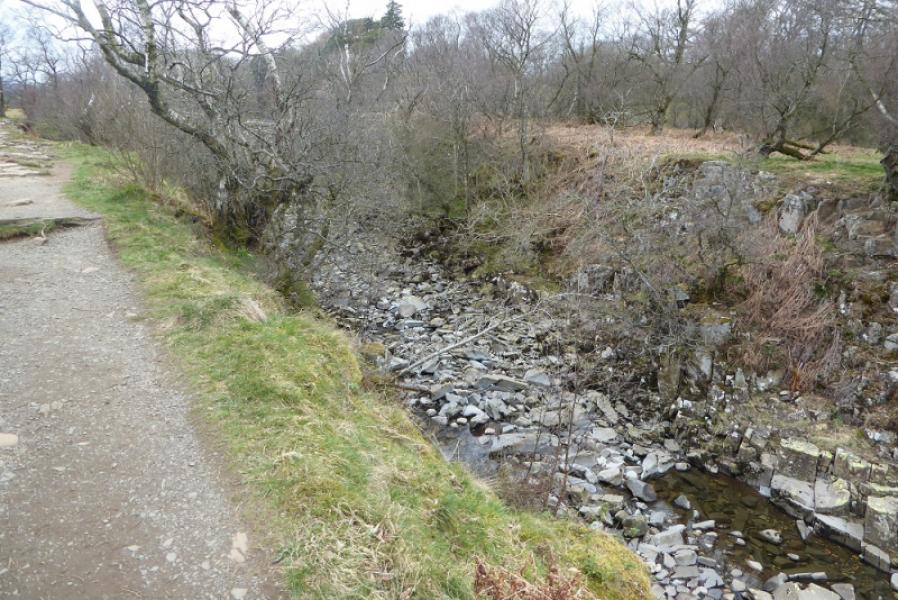
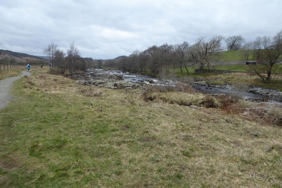
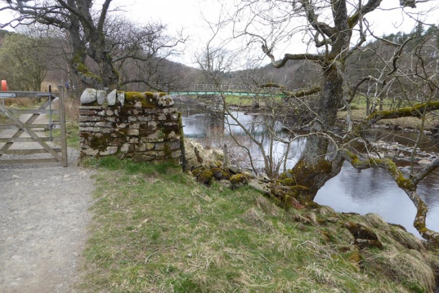
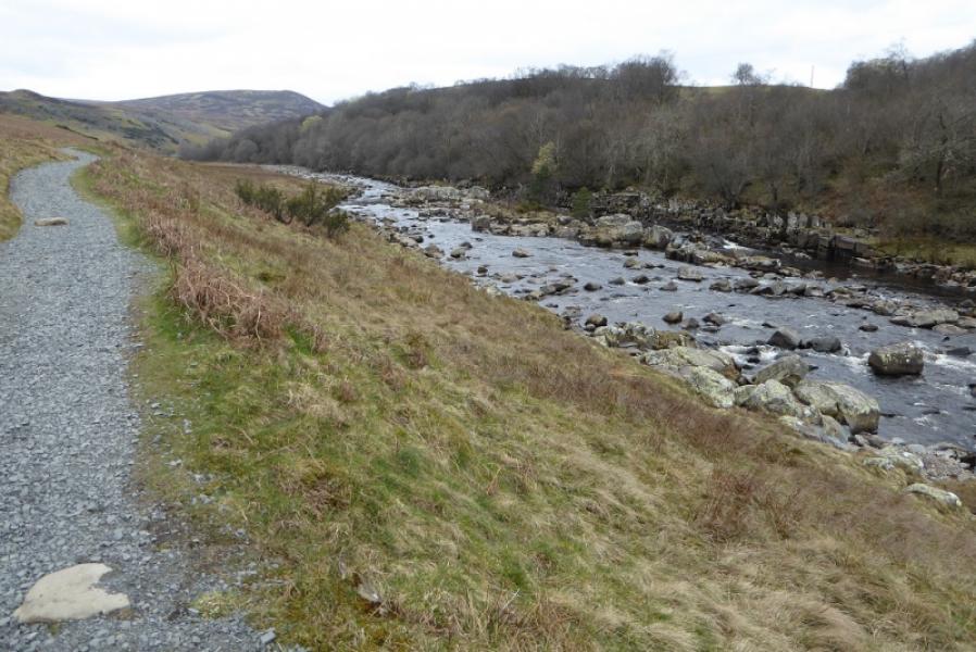
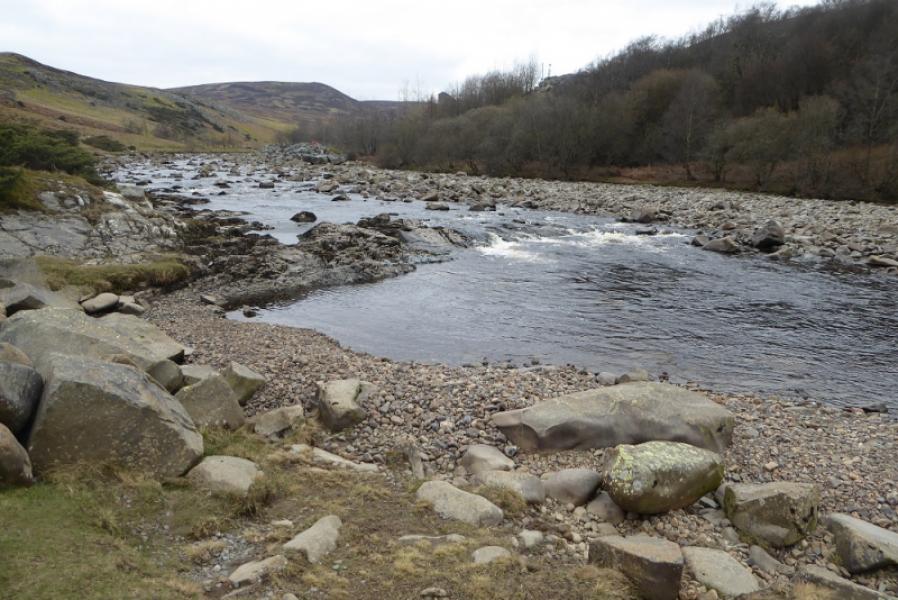
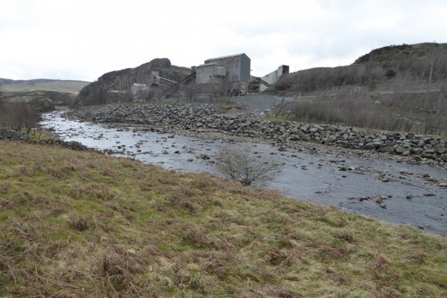
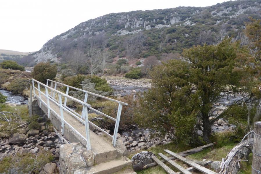
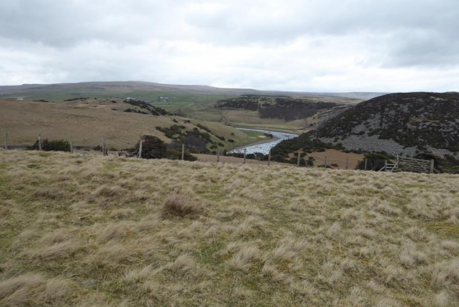
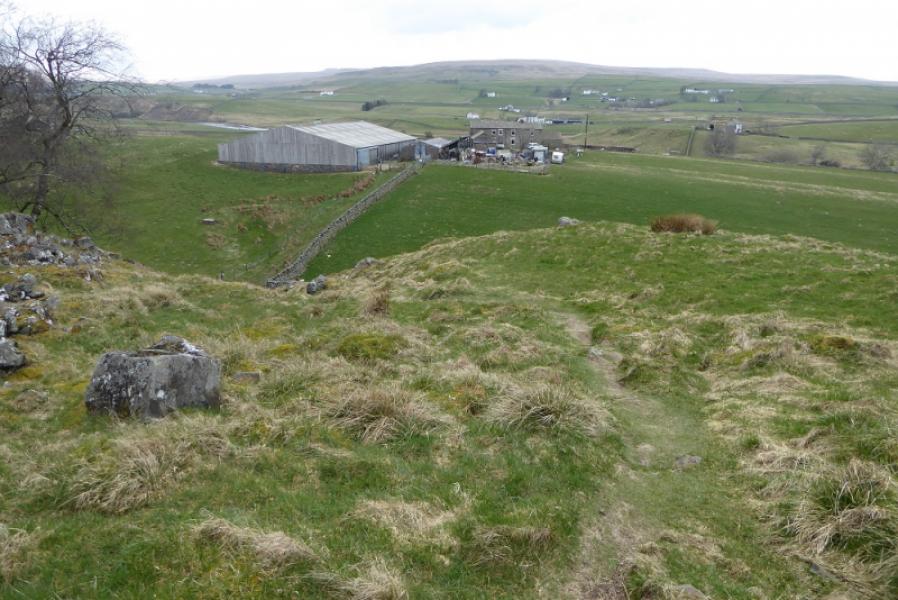
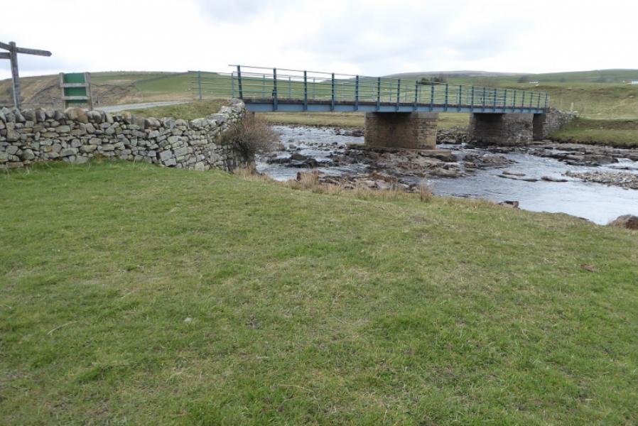
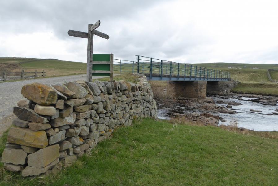
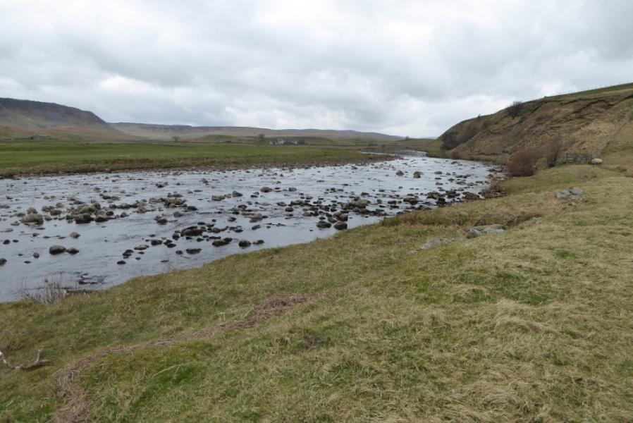
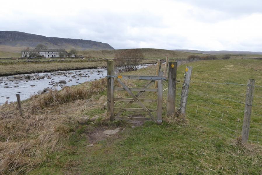
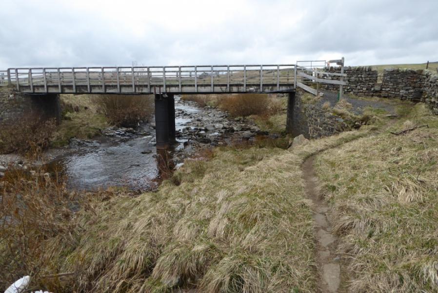
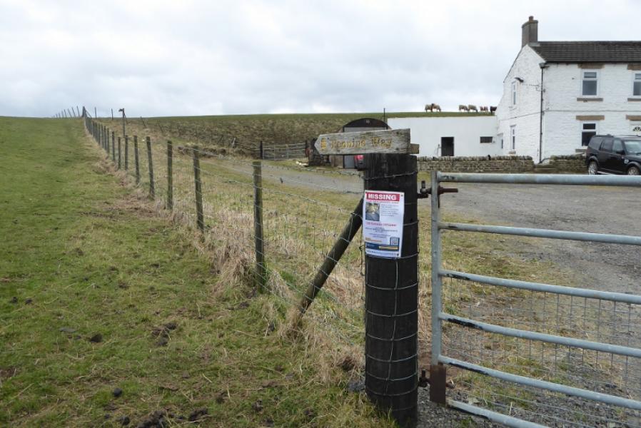
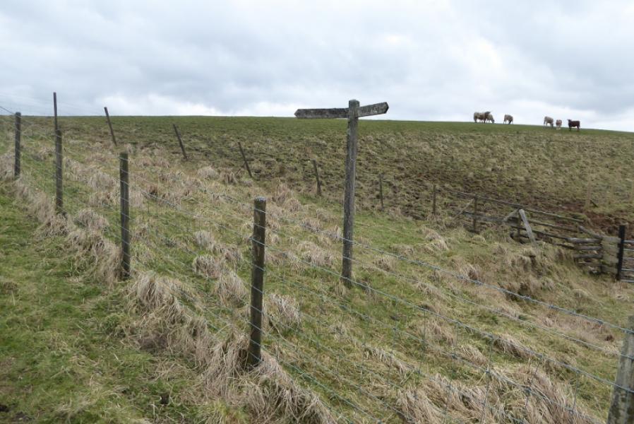
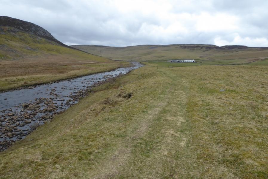
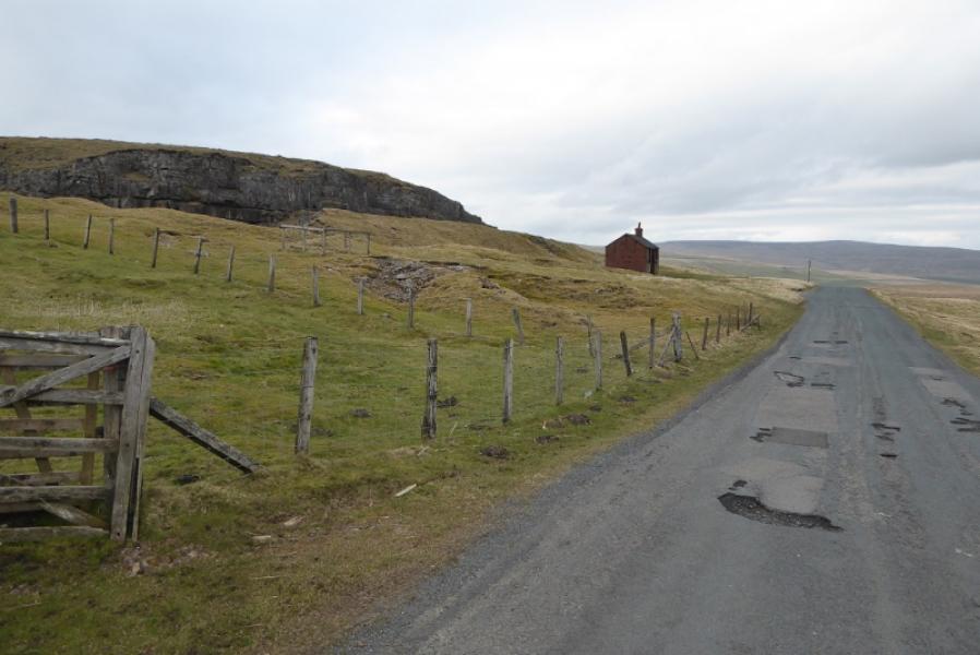
(1) From the centre of Middleton-in-Teesdale, take the road for Brough. Cross the River Tees. The Pennine Way is signed just after the Cattle Market. It is a grassy track to begin but soon becomes a path which is generally easy to follow. The River Tees is not seen for some time however. Eventually the path follows the bank of the river. Ignore all bridges and keep going until the river becomes more rocky. Soon you will reach Low Force. There are plenty of information signs around here. Continue for about 2 km to reach High Force. Keep going. Pass a quarry (across the river) and Bleabeck Force (on a left tributary). Further on, the path climbs whilst the river swings right. Follow the path which then descends to Cronkley and rejoins the river before crossing at an obvious bridge.
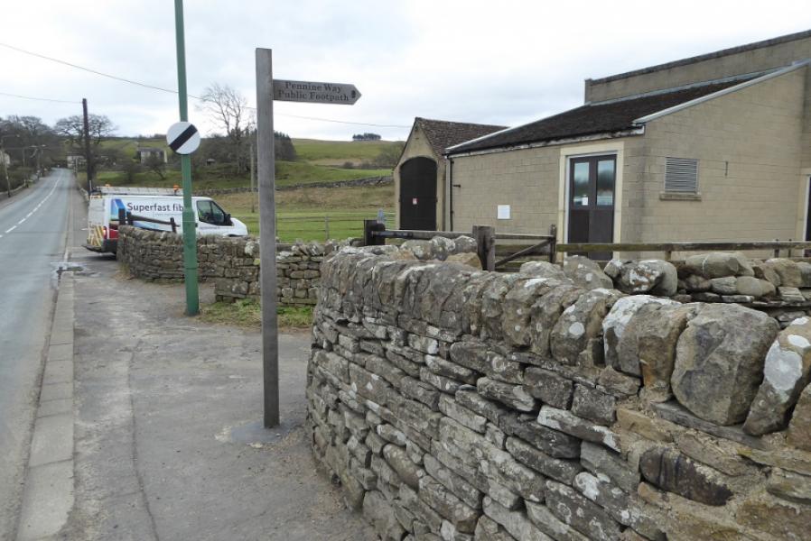
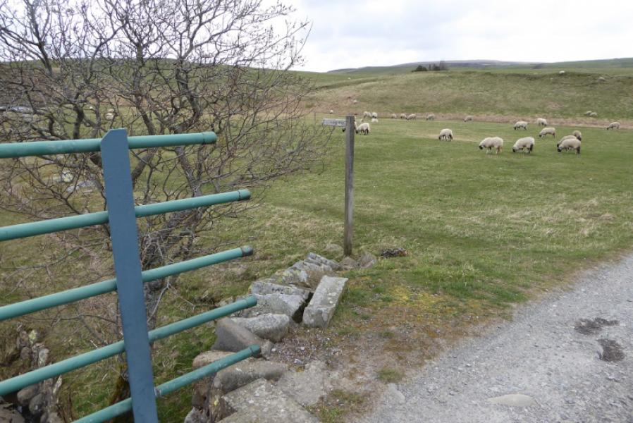
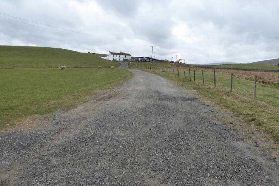
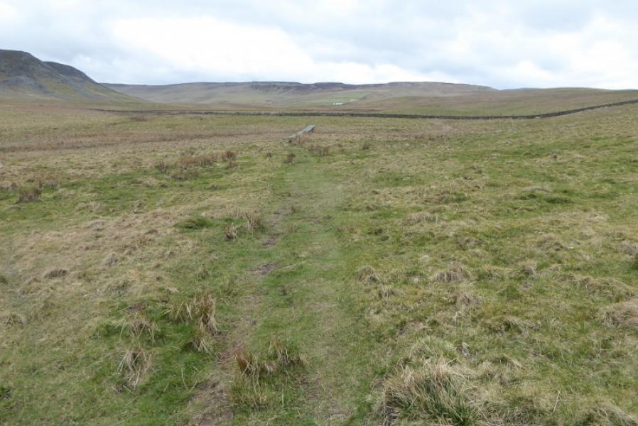
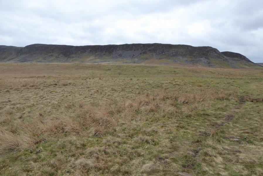
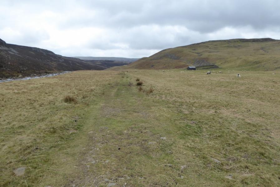
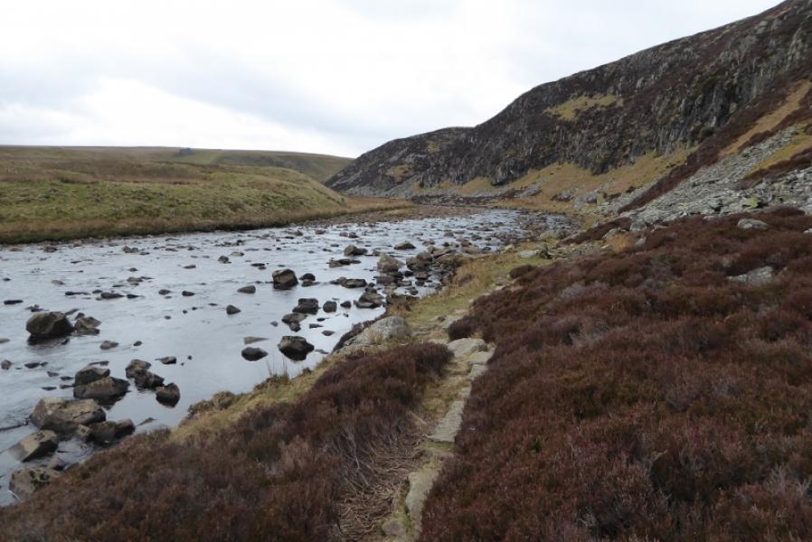
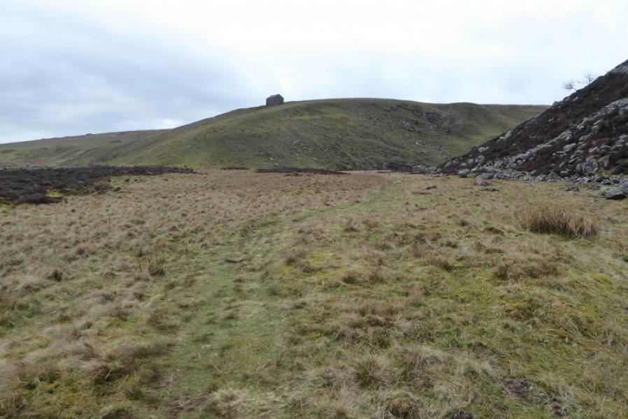
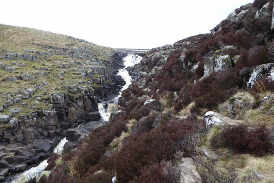
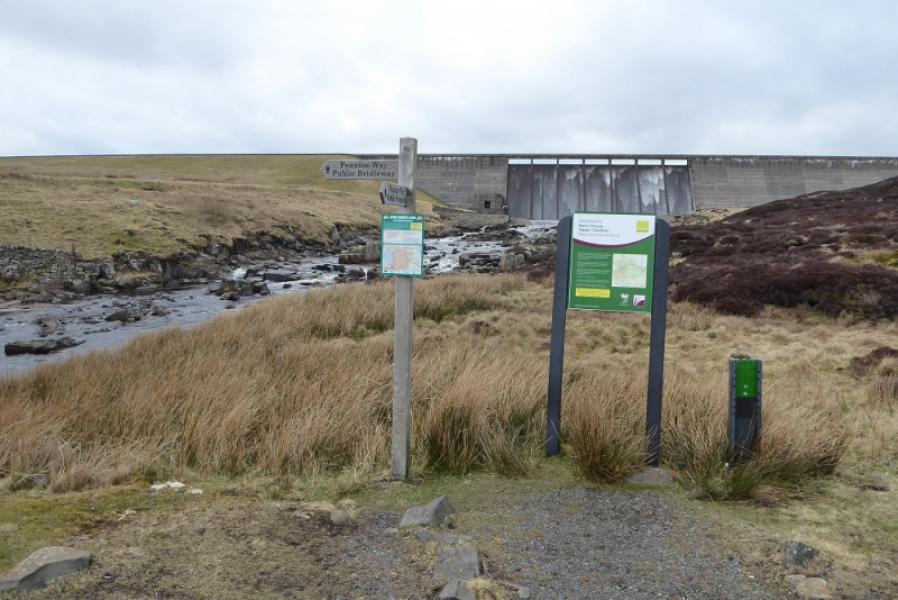
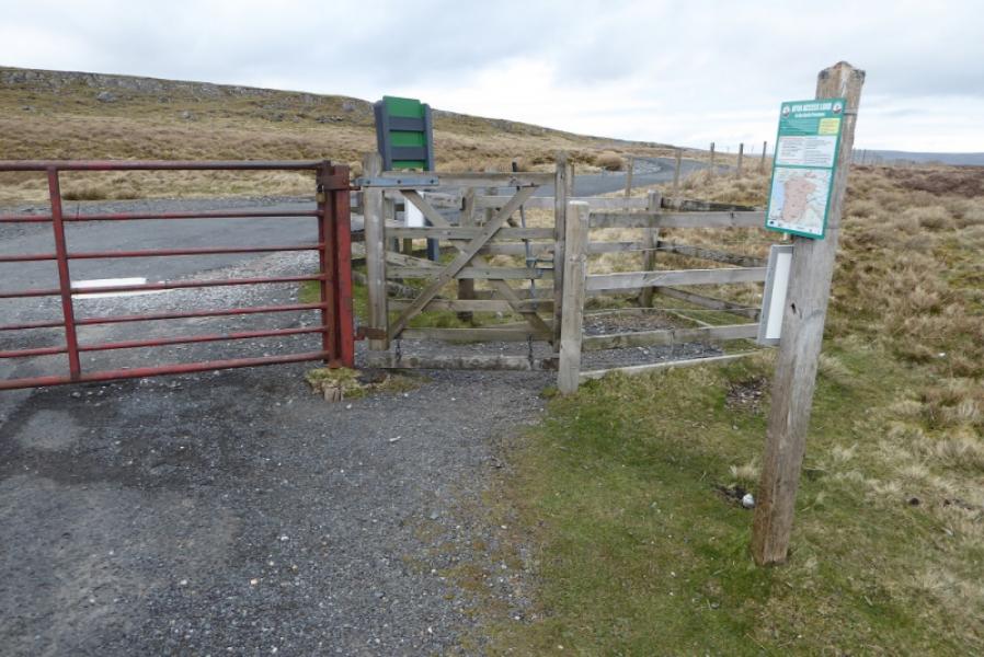
(2) Follow the opposite bank N until another bridge crosses back over. Follow the track to a farm and pass it on the left (signed). Reach a stile and go diagonally right after crossing it. The path soon becomes much more prominent. It crosses some very wet ground but duck boards help a lot. Pass Widdybank Farm as you follow the River Tess into an obvious valley. The going is easy until Falcon Clints is reached. Two tricky boulder fields have to be crossed after which the path is quite stony. Cauldron Snout is still not seen. Maize Beck goes off left (the Pennine Way follows this higher up to the back of High Cup Nick). The Tees curves around to the right and Cauldon Snout, a series of waterfalls, comes into view. The path goes up the side and is quite rocky but straightforward if tackled with care. Reach at track where there is a Pennine Way sign. Those continuing to Maize Beck, go left. Those who have had enough for one day, follow the track on the right of the reservoir. Reach a road, turn right. Reach another road near the car park.
Notes
(a) This walk took place on 27th March, 2019.
(b) If you need to do this route and return to your car then the best starting point is the Langdon Beck Hotel. On Wednesdays, there is a bus at 0945 to Middleton-in-Teesdale. It is about 6 km back to Langdon Beck from the Cow Green Dam. Prepositioning a bike at the Cow Green car park can allow 4 km of this to be cycled – almost all downhill. Alternatively, 2 cars would achieve the same results without reliance on buses.
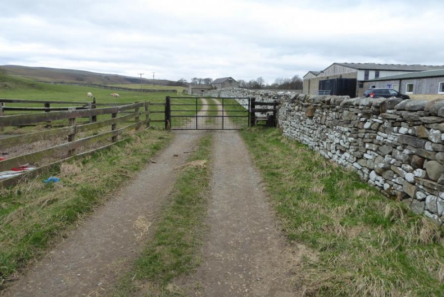
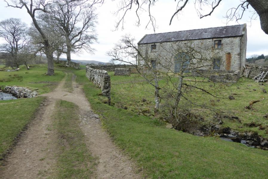
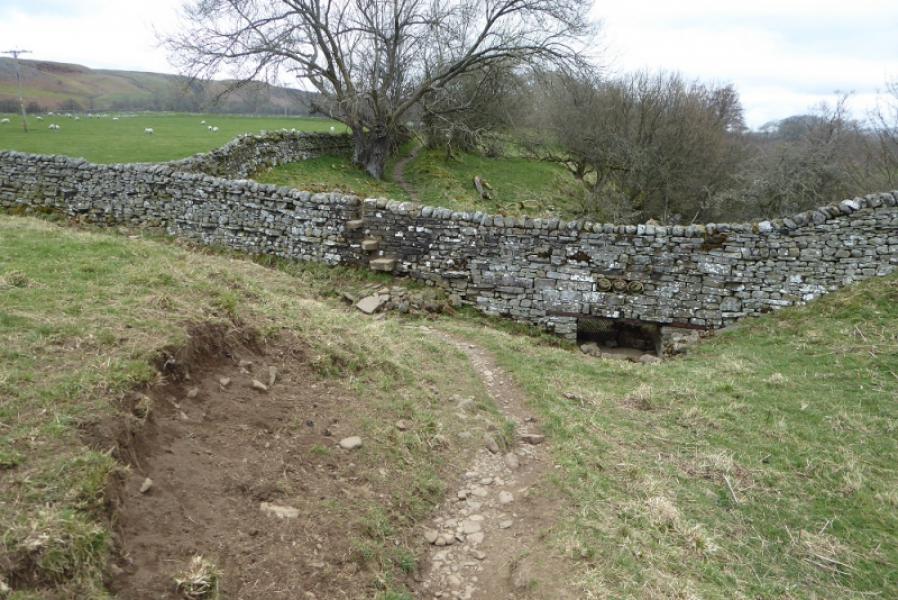
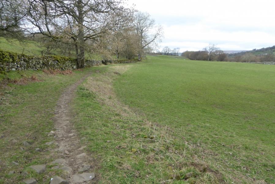
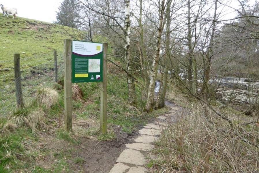
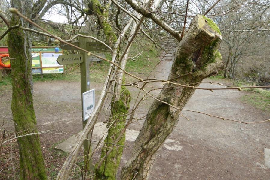
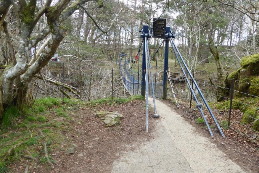
Photos - Hover over photo for caption. Click on to enlarge. Click on again to reduce.