Get Lost Mountaineering
You are here: England » Pennine Way » 4. Hawes to Dufton
3. Tan Hill Inn to A66 Pasture End via Pennine Way
3. Tan Hill Inn to A66 Pasture End via Pennine Way
Start/Finish
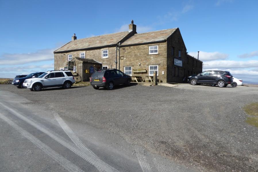
Tan Hill Inn which is at NY 896 067. It can be reached from Reeth, via Arkengarthdale, from Keld or from Brough. There is usually plenty of parking around the inn which is well worth a look inside.
Distance/Time
11 km. About 3 – 4 hours.
Peaks
No actual peaks but the highest point is the start at the Tan Hill Inn which is actually 526 m.
OL30 Yorkshire Dales: Northern & Central Areas
Introduction
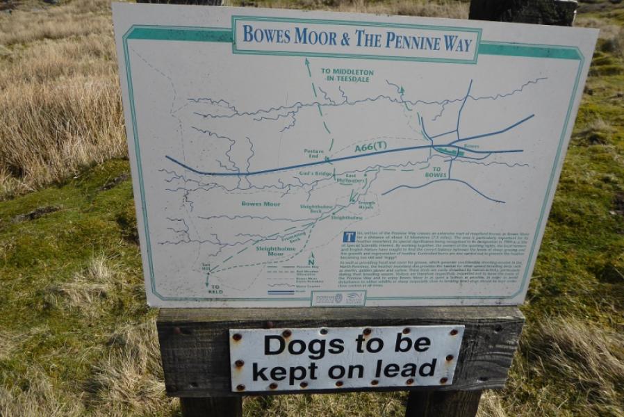
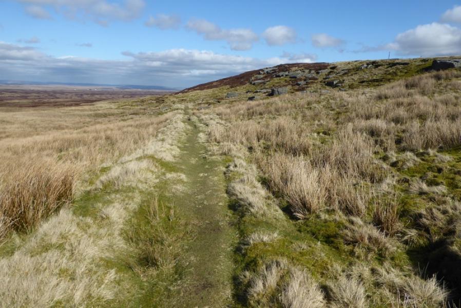
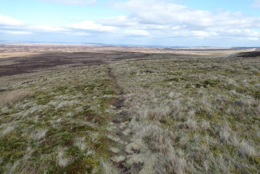
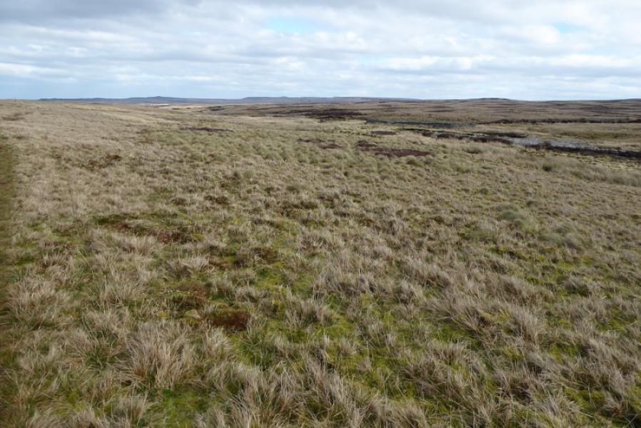
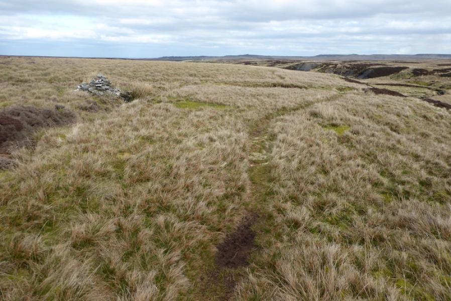
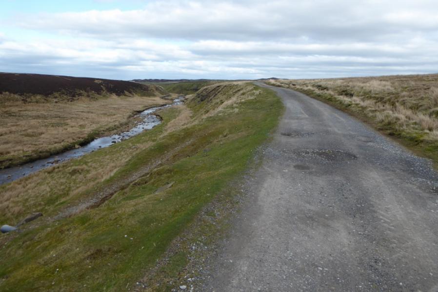
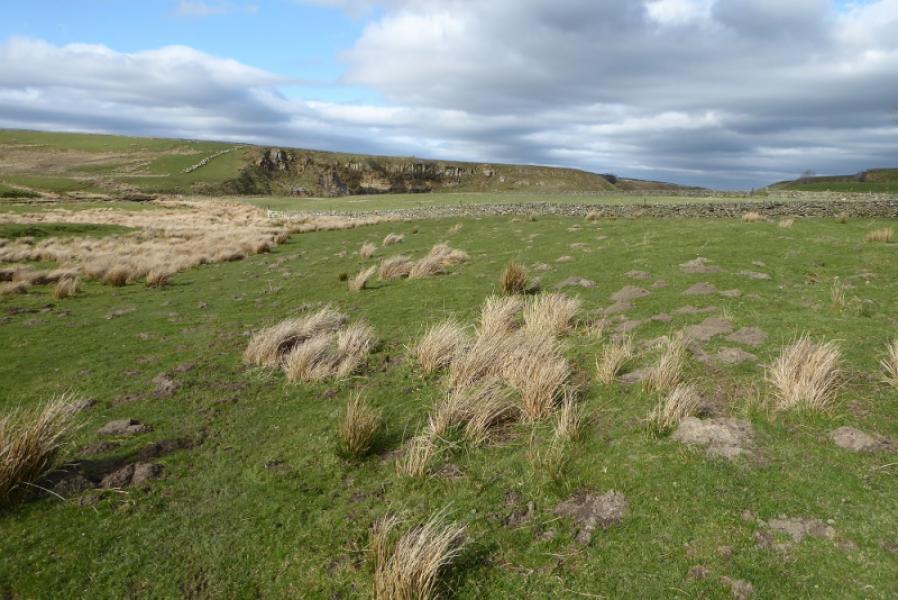
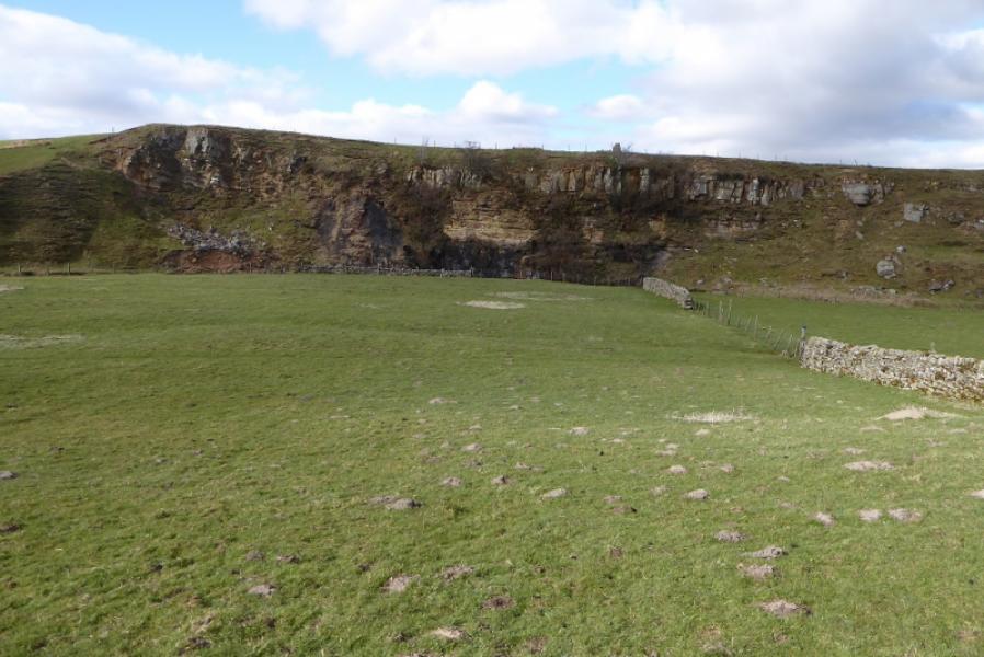
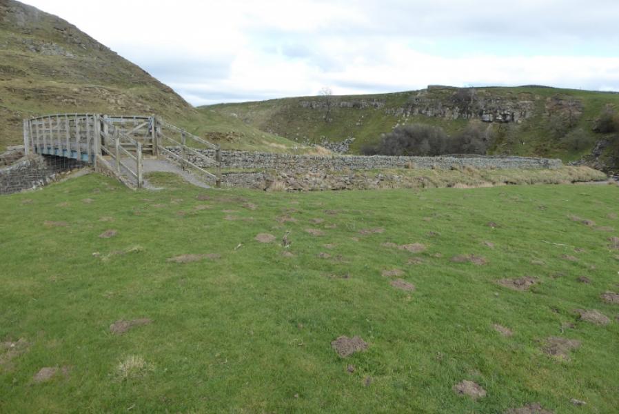
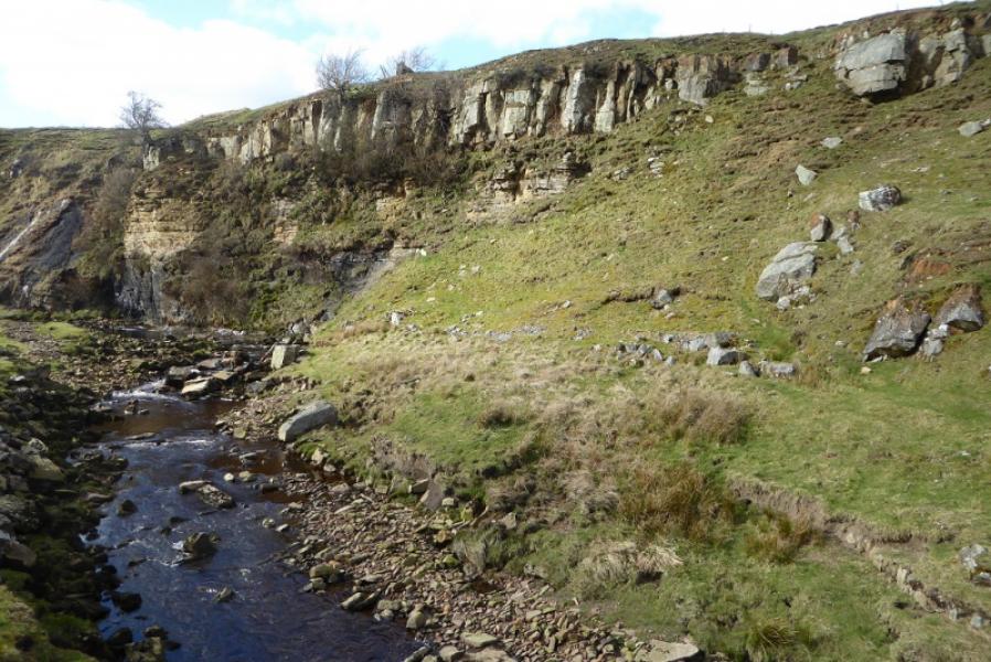
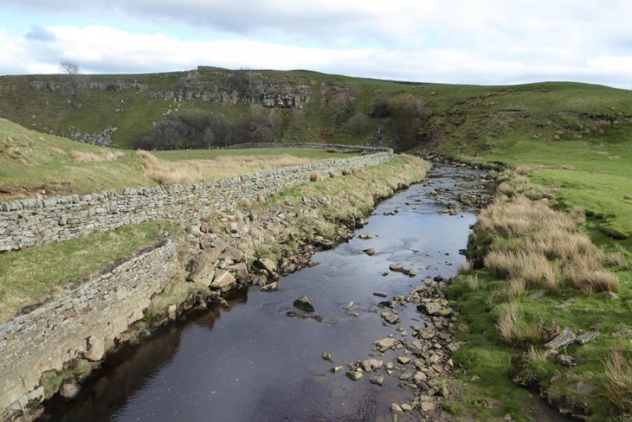
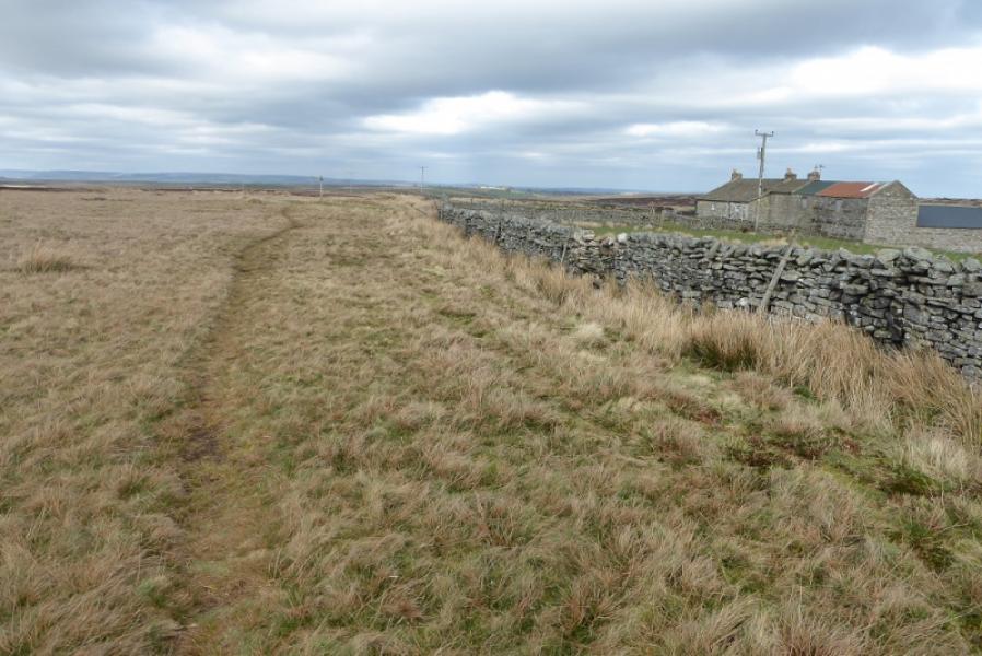
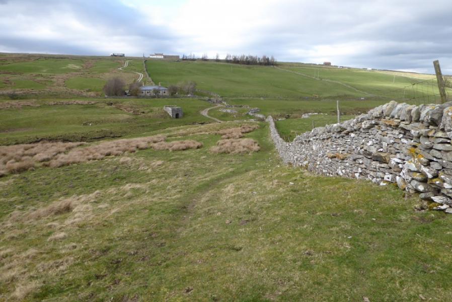
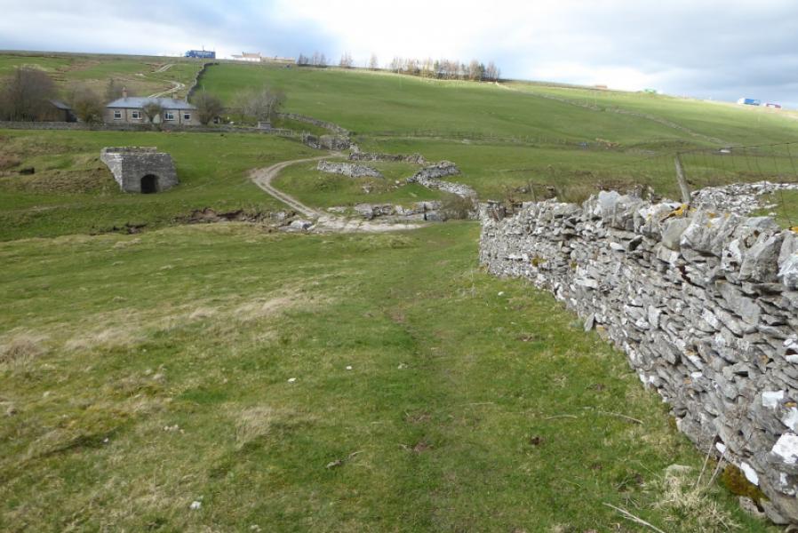
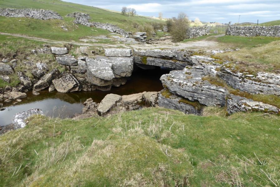
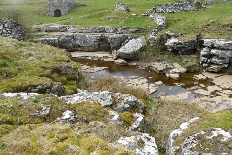
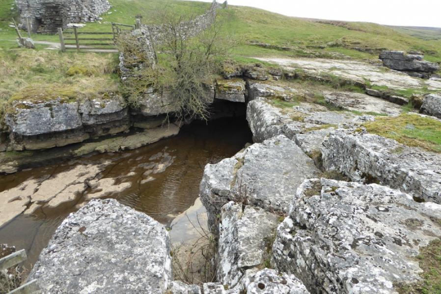
This route is entirely on the Pennine Way. The first section goes across the fairly featureless Sleightholme Moor on a faint path which has some mossy and muddy sections. Stakes with white tips ease the navigation but they are well spaced so if the snow has covered the path and the mist is down then navigation will be quite challenging. Once the track is reached, the walking and navigation are much, much easier. Bog Scar is very scenic. God's Bridge, just below the A66, is a natural limestone bridge over the River Greta.
Route
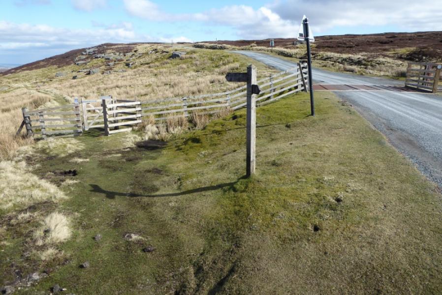
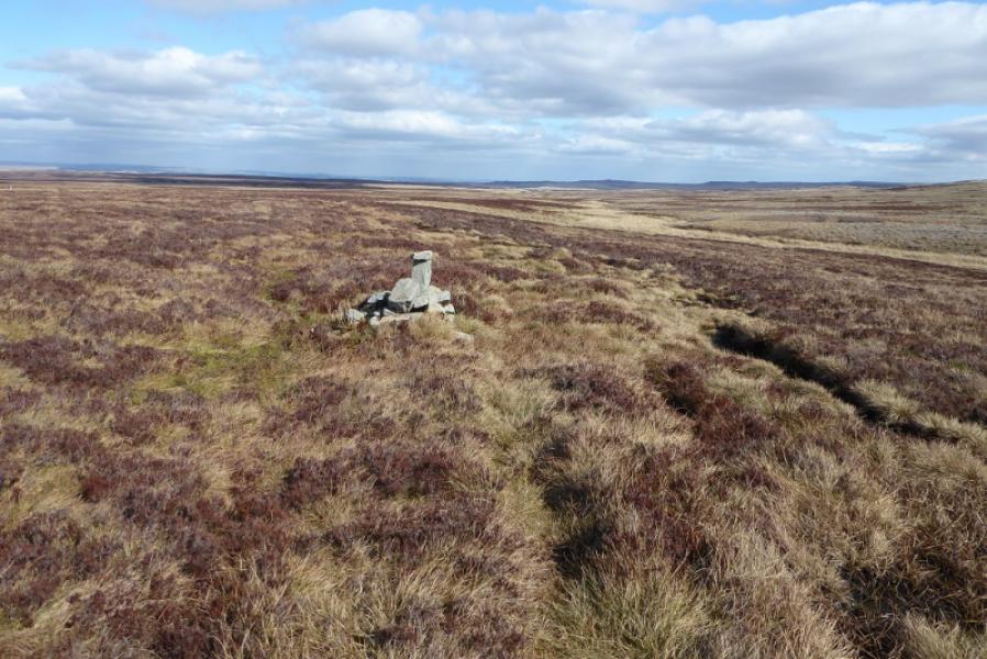
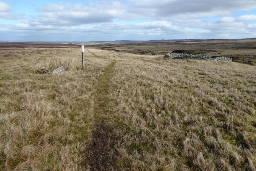
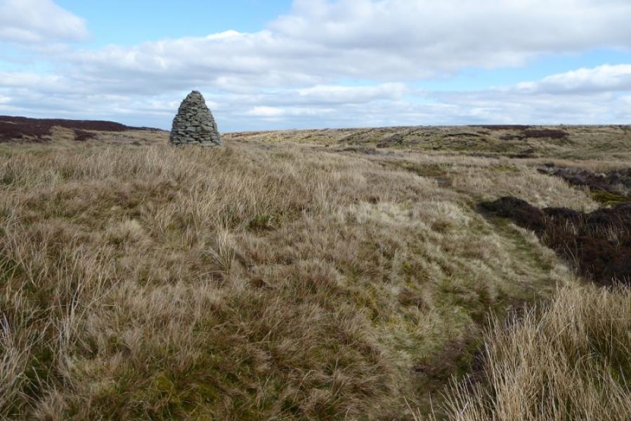
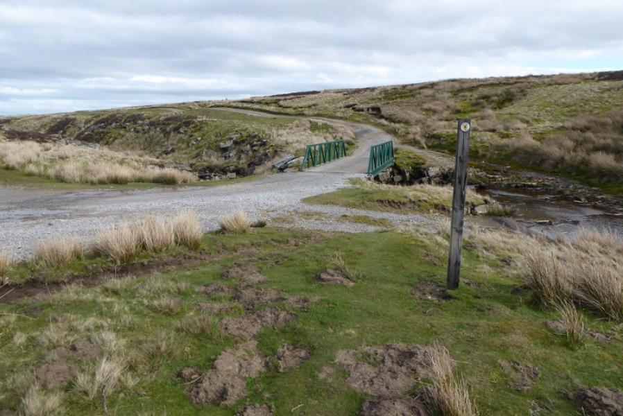
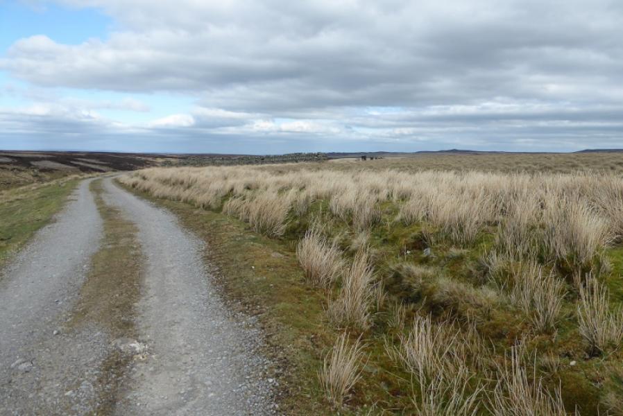
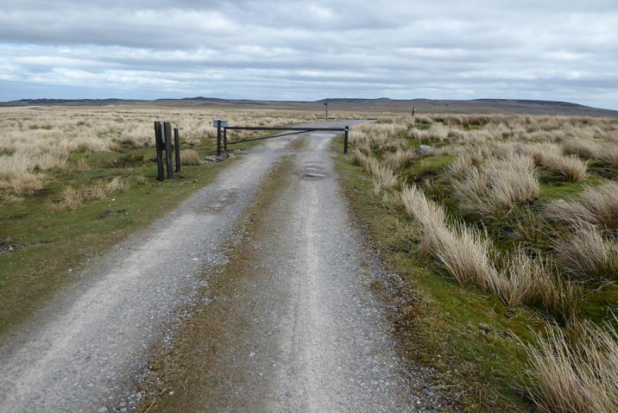
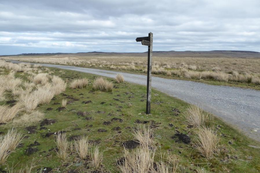
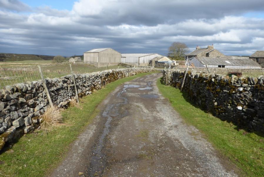
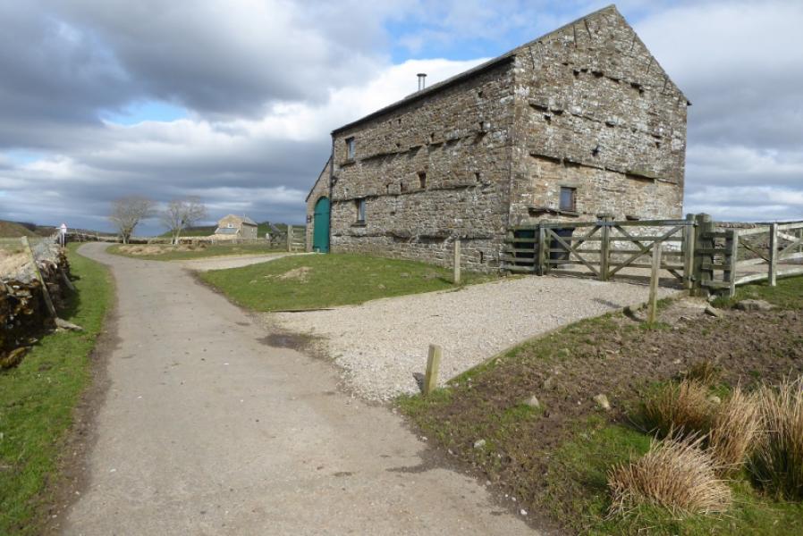
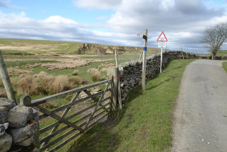
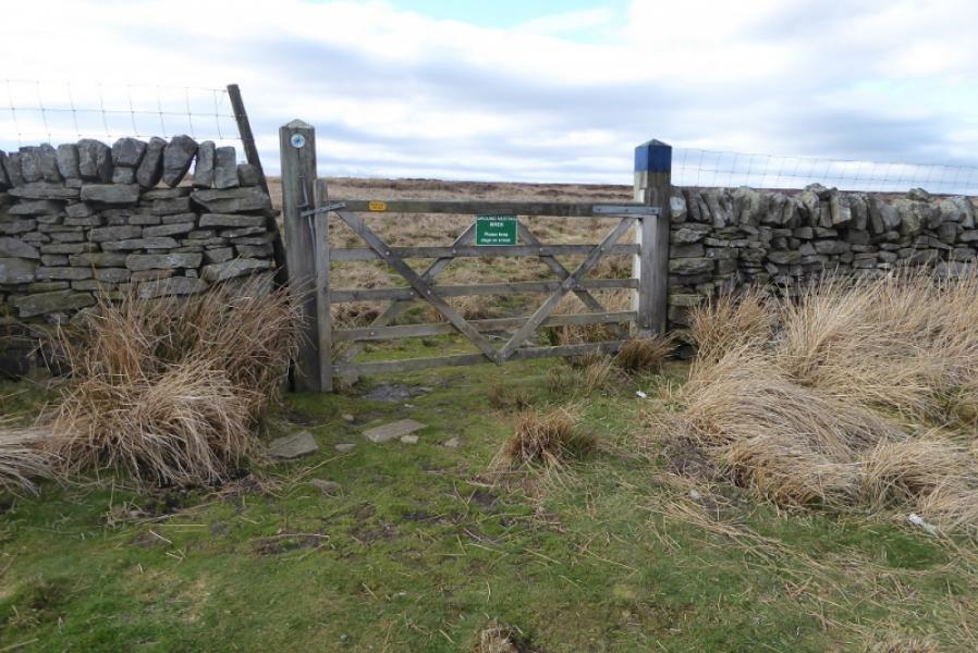
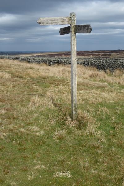
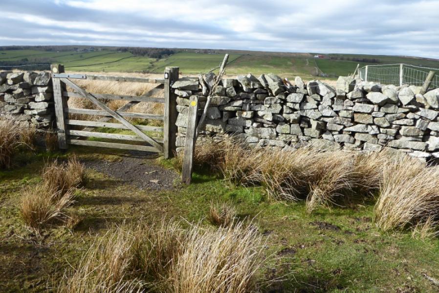
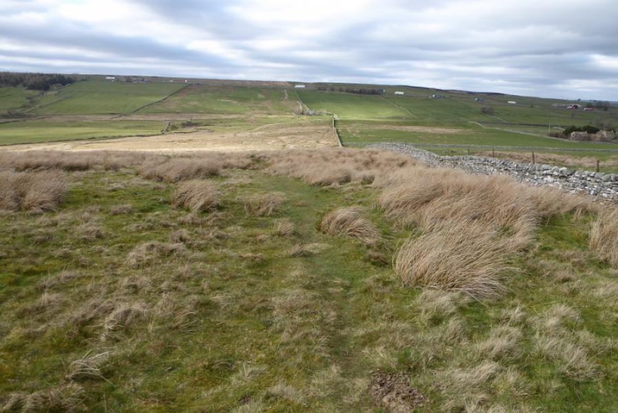
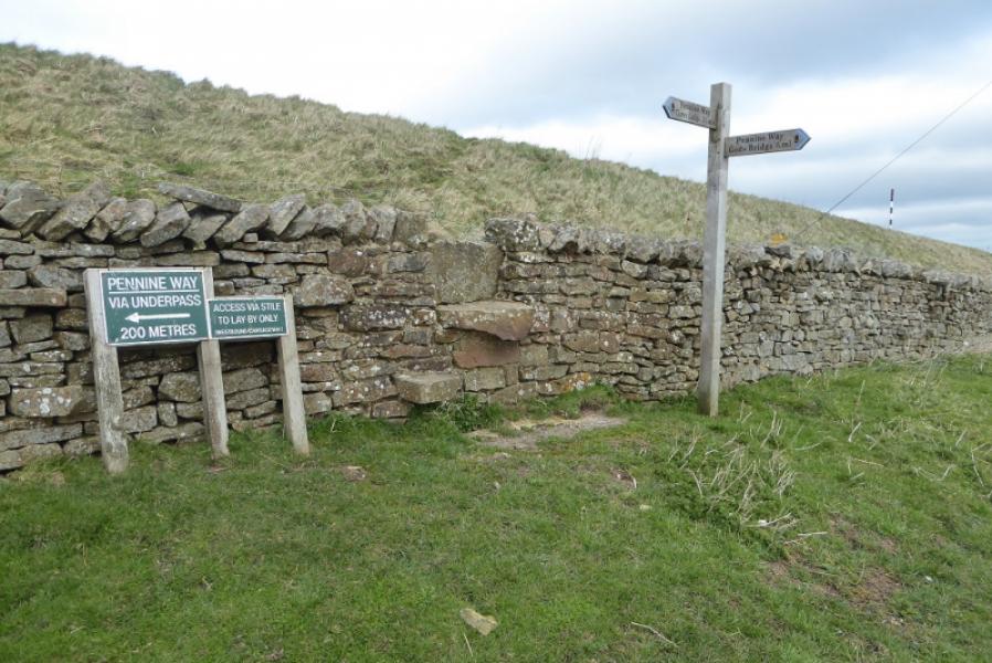
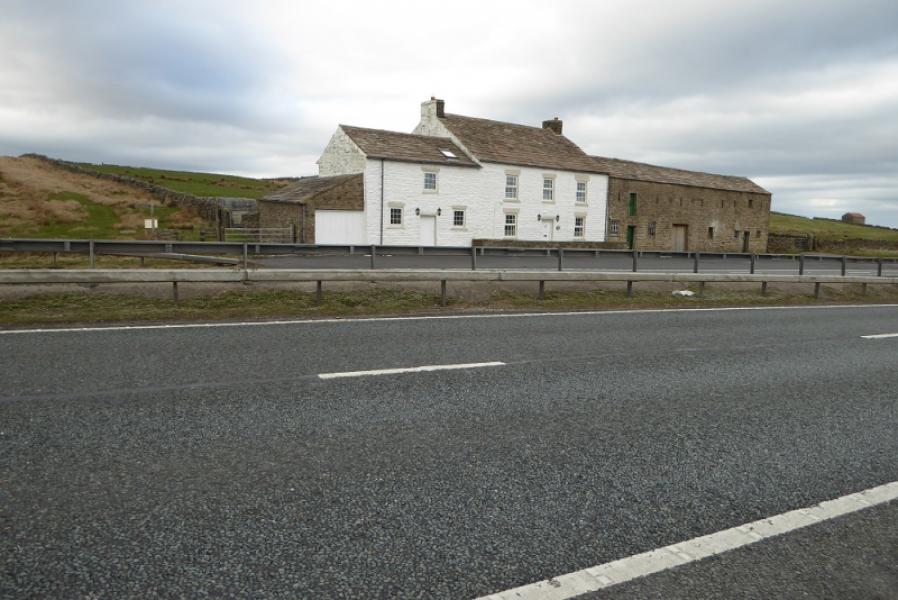
(1) Walk E for a short distance to the signpost indicating the Pennine Way. Follow the path which is reasonable until it levels out on Sleightholme Moor where the mossy and boggy sections are. As well as the stakes, there are a few cairns and sheepfolds. The short white poles are no guide at all. Eventually, reach a track and cross the bridge. Continue on the track to reach Sleightholme Moor Road at a barrier. Turn left and follow the road through Sleightholme. Just after the King's Barn, leave the road at a signpost and follow the path towards Bog Scar, a cliff. Cross the footbridge and follow the path up the far bank of Sleightholme Beck. Continue, following the wall which is crossed well before the house at Trough Heads. Continue to the signpost at Trough Heads and go left. Follow the path downhill to meet a wall. Turn left and follow the wall to reach a gate. Pass through and follow a new wall downhill to God's Bridge over the River Greta. Continue on the track past the house and climb up to the signpost just below the busy A66. If transport awaits in the west bound lay by, cross the stile and ascend the bank then walk E for a few metres. If transport is in the east bound lay by then turn left and cross under the road by a tunnel then walk back on the other side to the lay by in front of the house. For those continuing N, the Pennine Way goes left just before the house.
Notes
(a) This walk took place on 26th March, 2019.
Photos - Hover over photo for caption. Click on to enlarge. Click on again to reduce.